Smithers, finished the Cassiar and started the Yellowhead
After five days of cycling along the Cassiar and one day cycling the Yellowhead, I am now in Smithers. Little to no working wifi connections have caused this to be collected together in one post, so I’ve labeled them by day.
Tatogga to Bob Quinn (day 1)
Sometimes paying attention to the weather forecast can be a bad thing, particularly when you can’t do much about it. It rained overnight at Tatogga Lodge but was dry by morning. Internet weather forecast was for 15-25 km/h from the SSW or in other words headwinds. For several days following it was 10-15 km/h from the SSW, hence first day was strongest but headwinds for foreseeable future. I figured I would split the 141km to next point of civilization (Bell2) into two days.
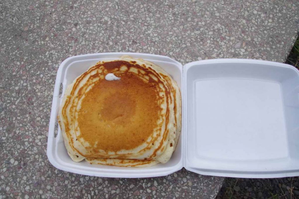
Breakfast didn’t start until 8am and things were pretty relaxed. Very friendly and nice service, just not the quickest. Started with bowl of yogurt and then an omelet. When they said, “we don’t have hashbrowns, how about a small pancake instead”. I replied with how about two? Unfortunately, my eyes were bigger than my stomach and I ended up with extra container to carry those two large pancakes.
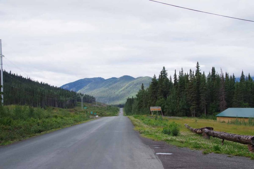
The wind was already going when I started. Undoubtedly some psychology and some hindrance, but I was slow going. At 25km, I came across a nice (and recommended) provincial park, Kinesaw but it was too early to stop yet. There was a rest area with pit toilets at Eastman at 47km where I had lunch including those extra pancakes. Mmmm…
I had lunch at same table with two couples traveling in campers. The wind blew the tablecloth every which way. I looked around see see how suitable Eastman might be as a camp site: good clean water – check; nice spots to camp? – sortof; far enough in the distance – not quite since that meant 94km the next day. So after some hemming and hawing, set out on the road again.
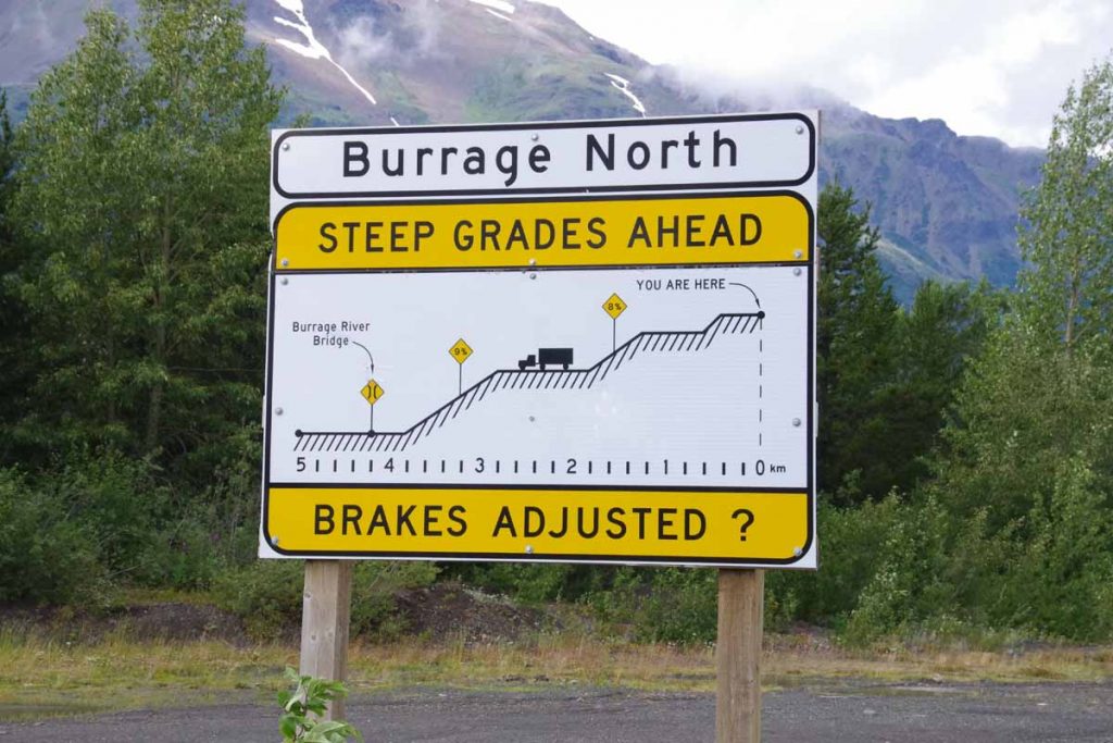
There was reasonable descent and climb down the Burrage river and then back on the other side. At this point I had 60km done and figured I would stop and the next nice stream I found. Unfortunately, none of the streams were particularly suitable. First one had a high bridge and water way down 20-30m below and not an easy way to get to it; next one didn’t really have good camp sites. I was picky but also kept going. Fortunately at some point the wind was also less.
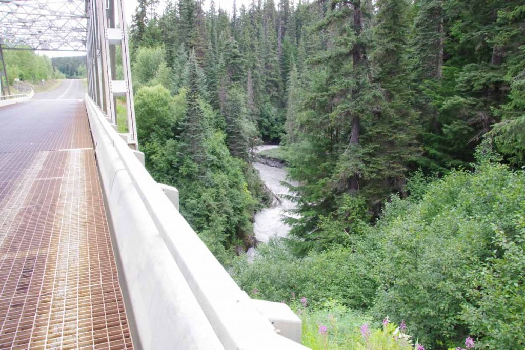
Above is example of the “Devil Creek”, though the name should have been a giveaway as being a raging torrent.
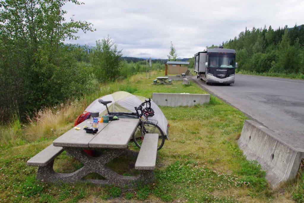
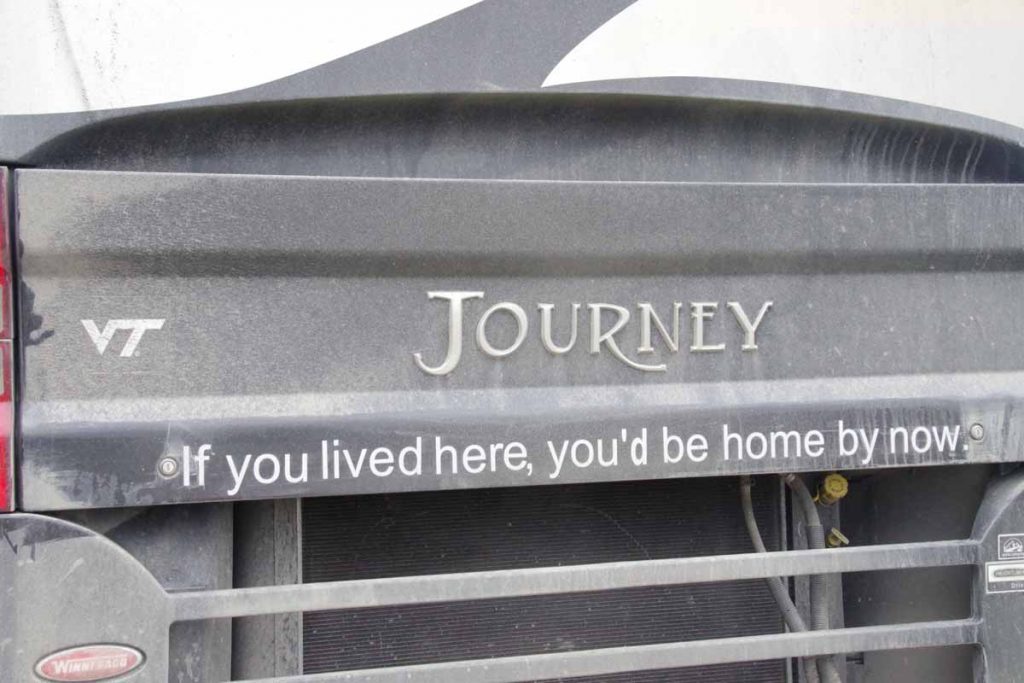
Finally as I got close, the Bob Quinn Rest area at 94km was a pretty nice spot. There was small creek less than a km away and a picnic table, pit toilets and bear proof litter barrels. Turns out there were two other campers there as well. One in a large RV and one in a smaller camper. The large RV had slogan below, which I thought was cute. Perhaps see if I can get similar sign for my tent?
Bob Quinn to Bell2 (day 2)
Not much wind overnight and fortunately mostly calm when I awoke. Despite forecasts, wind was not a big deal today and it was otherwise a short ride of only 47km.
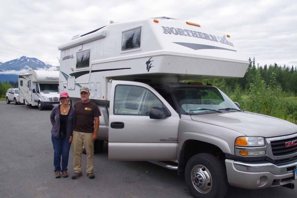
These folks from Connecticut wanted a photo, so I got one of them as well. They also told me there was a large cycling group “from Houston” they had seen earlier. I thought it might be Texas 4000 but wasn’t sure.
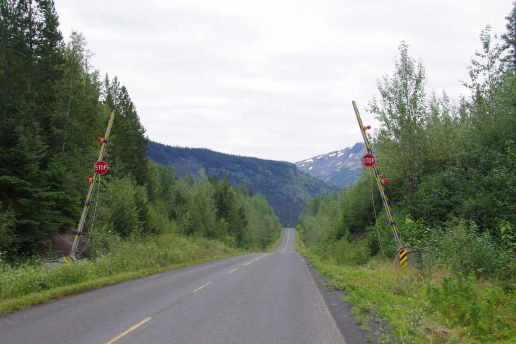
The gates above are “avalanche gates” so the road can be blocked in winter if an avalanche has blocked the route. Today I saw several avalanche chutes as I slowly climbed up to and then over a low summit.
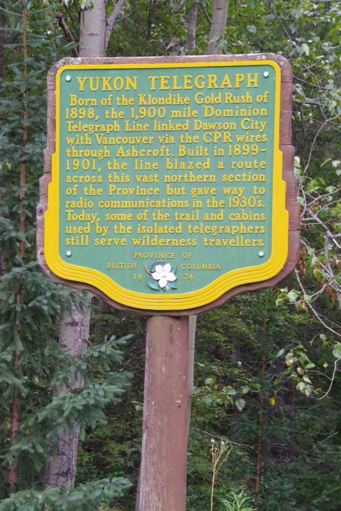
Along the way was this sign describing an earlier telegraph line from ~1900. Pretty amazing thinking of maintaining a telegraph line through some pretty rugged countryside.
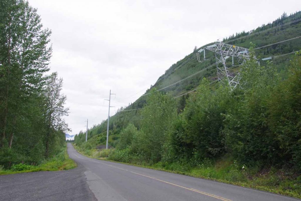
Nowadays the new line being put in is a high voltage electric transmission line started in 2012. It hasn’t yet reached Dease Lake but definitely has come this far.
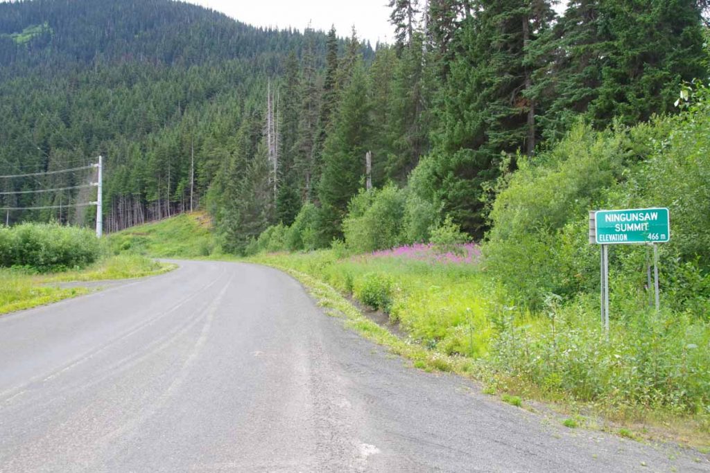
Some somewhat slow but beautiful climbing brought me to the local water divide shown below.
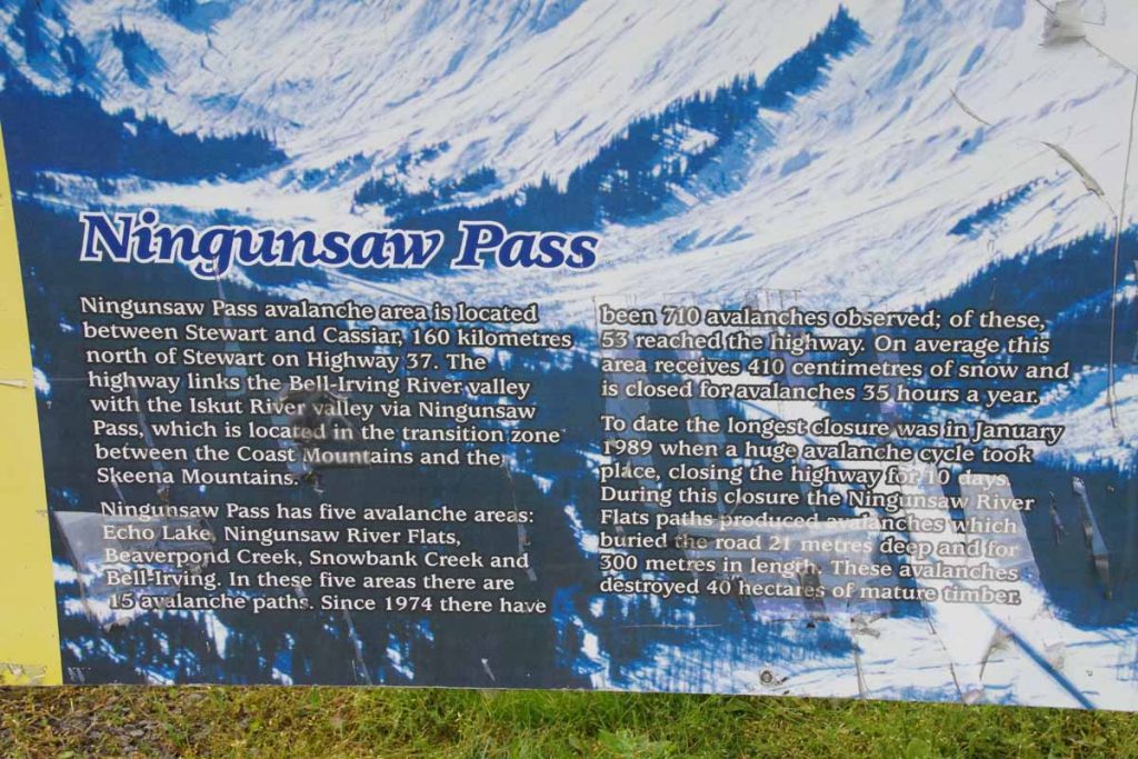
There wasn’t a huge downhill but did stop by a rest area on way down where the plaque below explained more about the avalanches as well as the pass.
When I was about 41km along, I saw six riders coming the other way (two are hidden behind others in photo below)
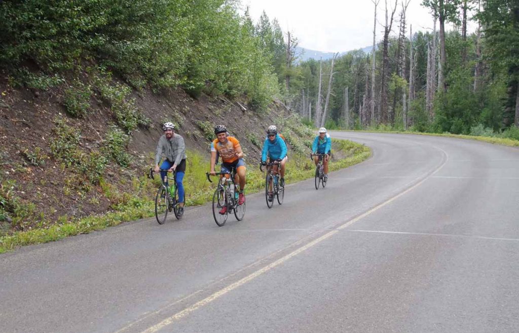
I held out my hand with thumb and pinkie extended and yelled “Go Horns!” I got a similar response which confirmed to me that this was Texas 4000. As I learned later, this group of six riders had decided to make a “challenge day” by riding from Meziadin Junction to Dease Lake, a distance just slightly over 200 miles. Wow!
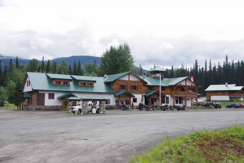
Without much difficulty, I found myself at Bell2 Lodge. A fairly nice, upscale but also expensive lodge. I was still early and had lunch and then reserved a tent camp site ($25 Canadian compared to $0 at Bob Quinn, though it did include a shower).
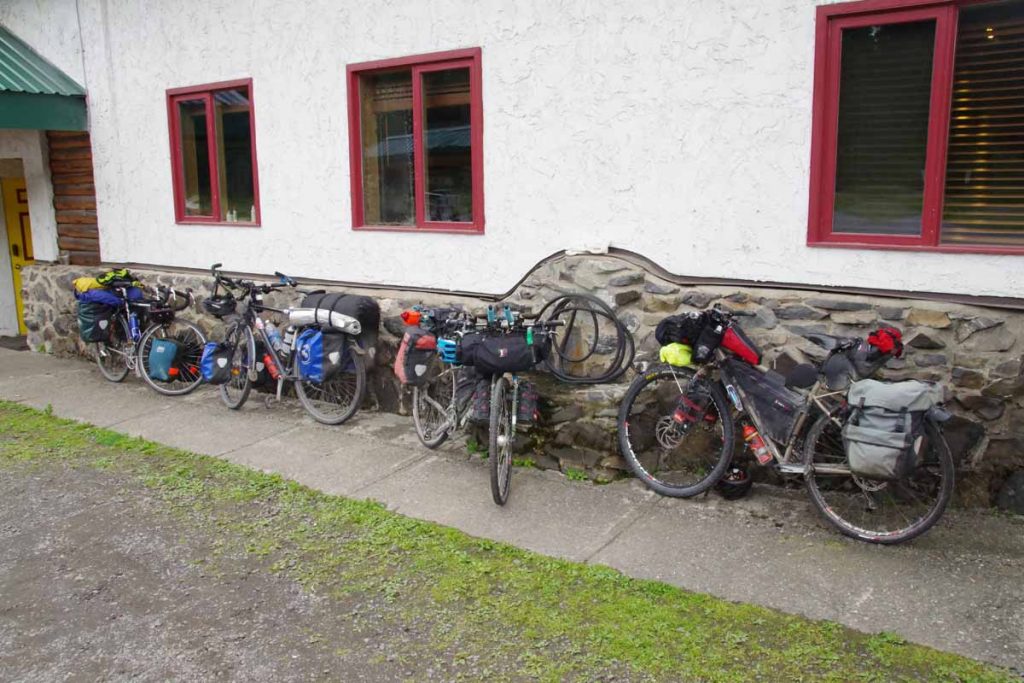
Later in afternoon, four other touring cyclists arrived including Mark and Hana, from New Zealand traveling for two years from Prudhoe Bay southbound; Rick from the Netherlands traveling for a year from Prudhoe Bay to Panama City and a Canadian cyclist going from Whitehorse to Calgary.
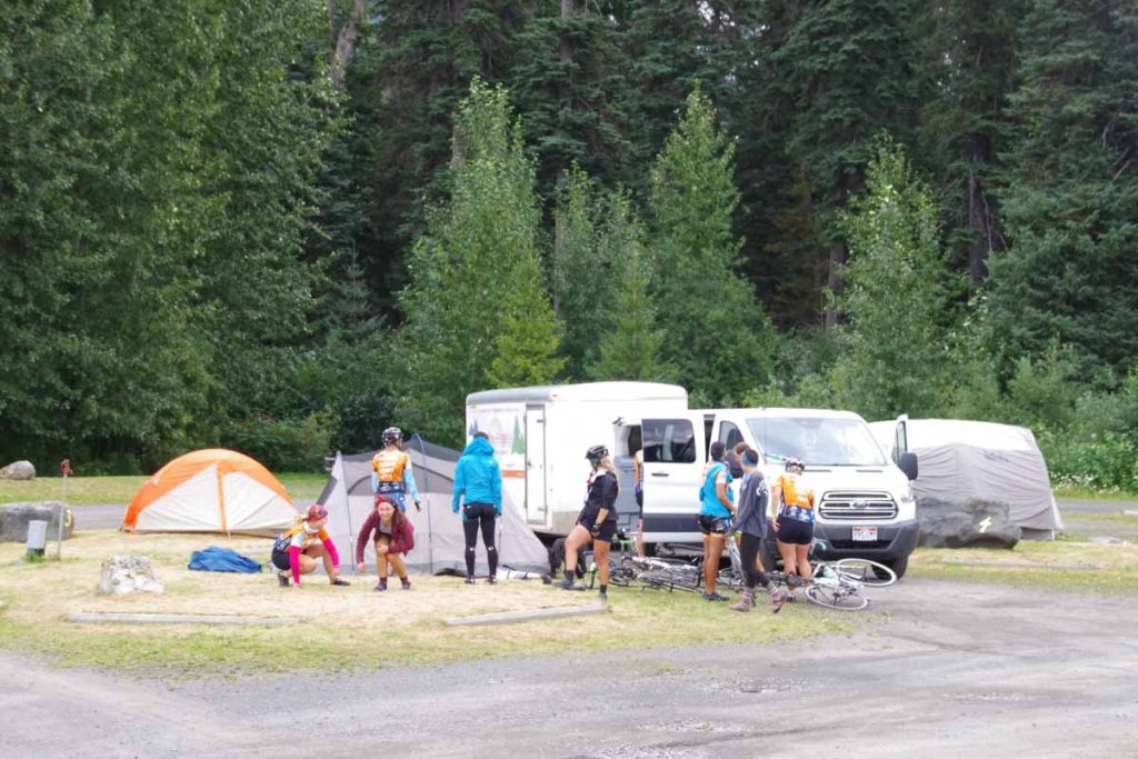
Also arrived was rest of Texas 4000 group.
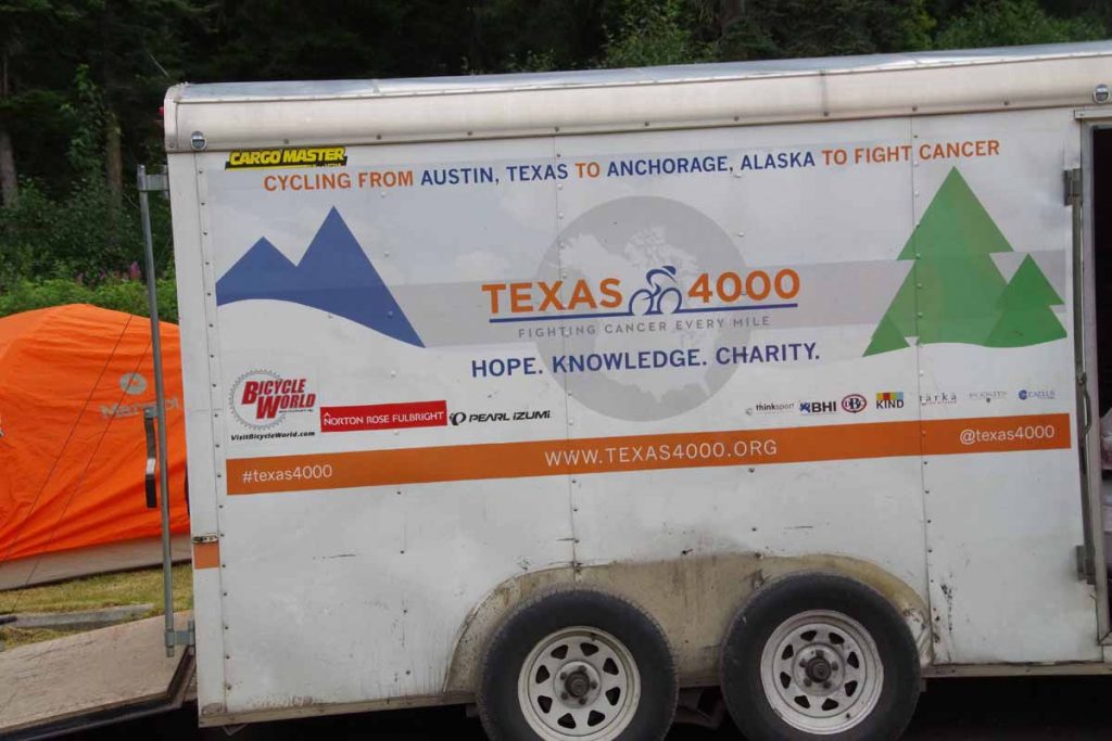
It was fun connecting with other cyclists. Later in afternoon, Mark, Hana and Rick cycled a little further down the road to camp and rest of us enjoyed Bell2.
Thought the photo below was amusing, though not sure if it would be allowed in North Carolina.
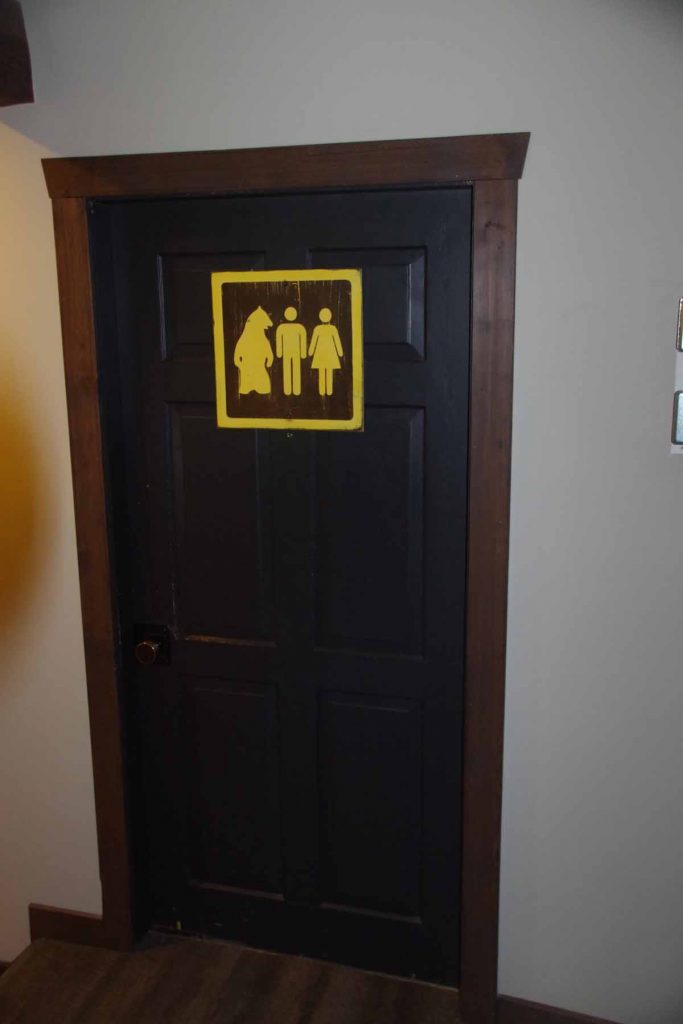
Bell2 to Meziadin Junction (day 3)
Breakfast brunch with Texas 4000 before setting off down the road to Meziadin Junction.
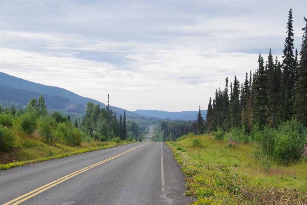
Today started as somewhat easier cycling as the first 60km mostly followed the Bell-Irving River though with some climbs up and down along the way. There tended to me more descents than climbs.
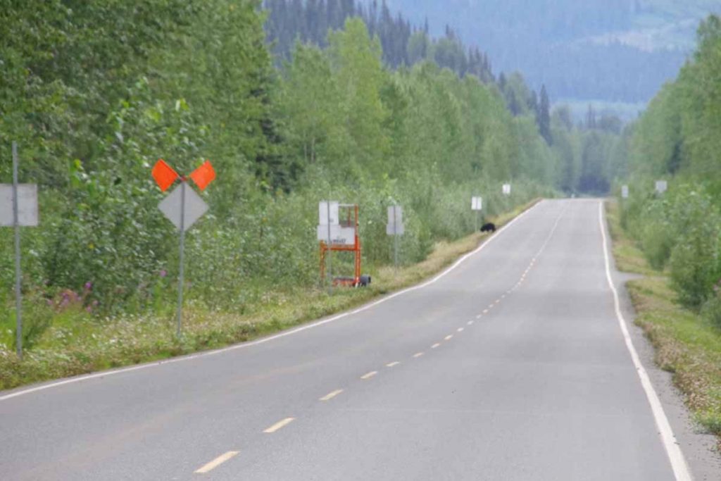
I did see a bear in the distance, but he had almost scampered off the road before I could get a photo.
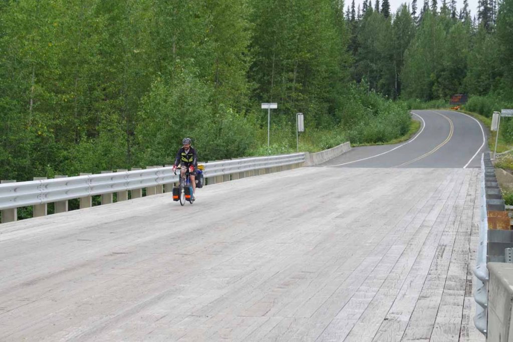
I stopped to take a photo of the wooden bridge decking that is found on some of the bridges and the Canadian cyclist just happened to come along. We had a brief snack break before he went ahead.
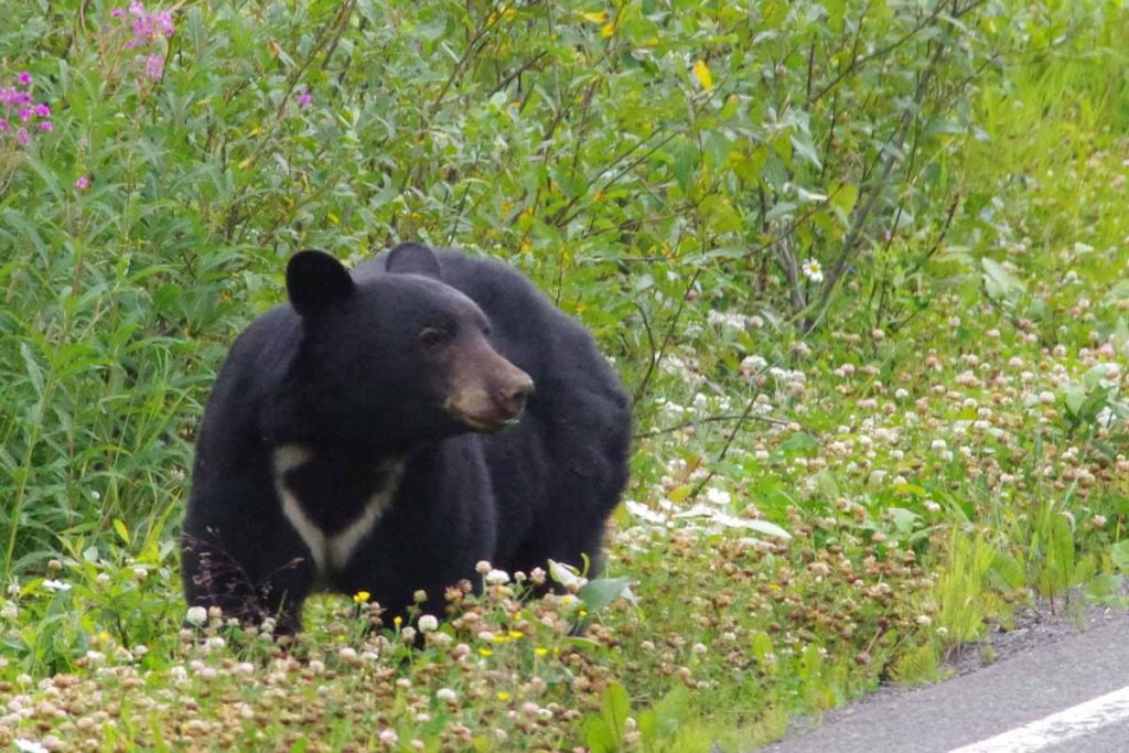
Not much later, I came much closer to a bear. The bear above was busy munching on clover just on the other side of the highway as I rolled up. I made some noises to see if he noticed me. He (she?) looked up and decided the clover was much more interesting. So I carefully cycled past just a road distance apart.
At 60km, the road crossed the Bell Irving River. Somewhat of a surprise but the last third of the ride had a rather long 12km hill to climb first along with some climb/descent as it went up and over some drainages. Definitely a bit tougher riding in the afternoon. However, without too much difficulty, I was at Meziadin Junction. I stayed at the campground, 1.5km past the junction, but did come back for dinner at the work camp.
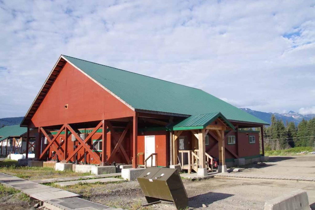
The work camp was definitely an industrial type setting with large trailer building under separate roofs.
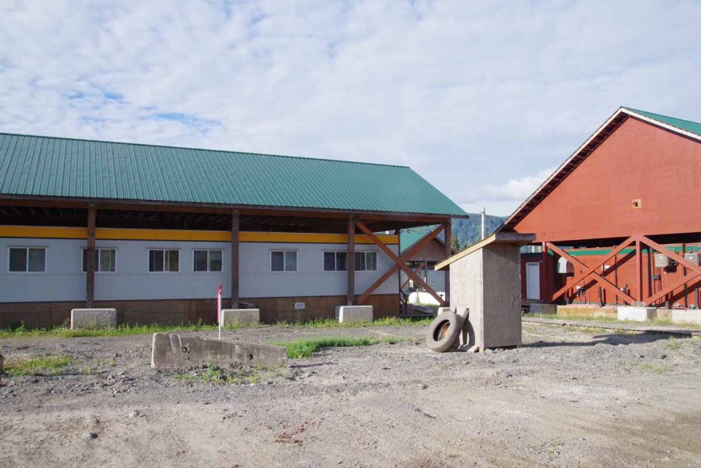
At dinner I was with several log truck drivers. They had passed us cyclists most the the day and hence I was able to figure more out about their operations:
- The mill was in Stewart, ~60km from Meziadin Junction and at sea level. Apparently, the finished product goes out by sea
- The logging areas are near Bob Quinn, so each truck driver does ~200km one way or ~400km driving for a single load of logs. They make two runs per shift
- There were six truck drivers total
Otherwise the work camp had a cafeteria that made a standard fare each day. This night was turkey with the trimmings and was pretty good. After dinner went back to the campground. Paid for wifi but couldn’t connect, except later in middle of the night.
Meziadin Junction to Bonus Lake (day 4)
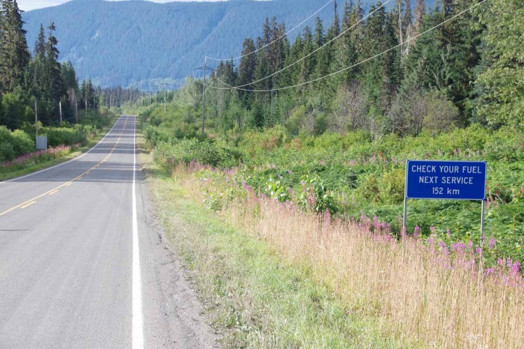
Total of 156km left on the Cassiar, so decided to split this into two days. While the truck drivers from previous night were further north, I did still have some log trucks passing, until I came past the following lot where they were loading up these trucks.
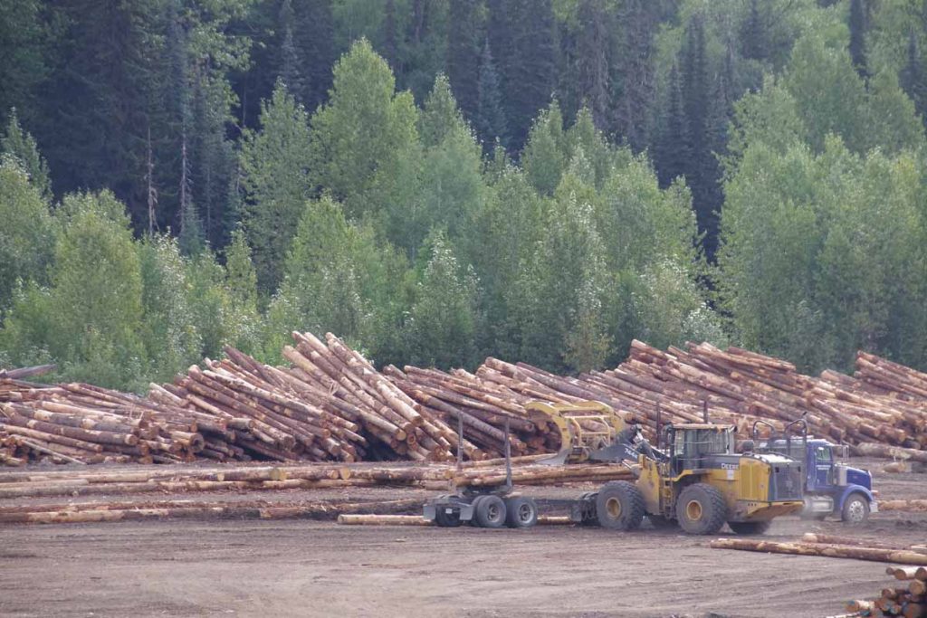
Along the way, I came along these locals who were riding from Houston, BC to Stewart
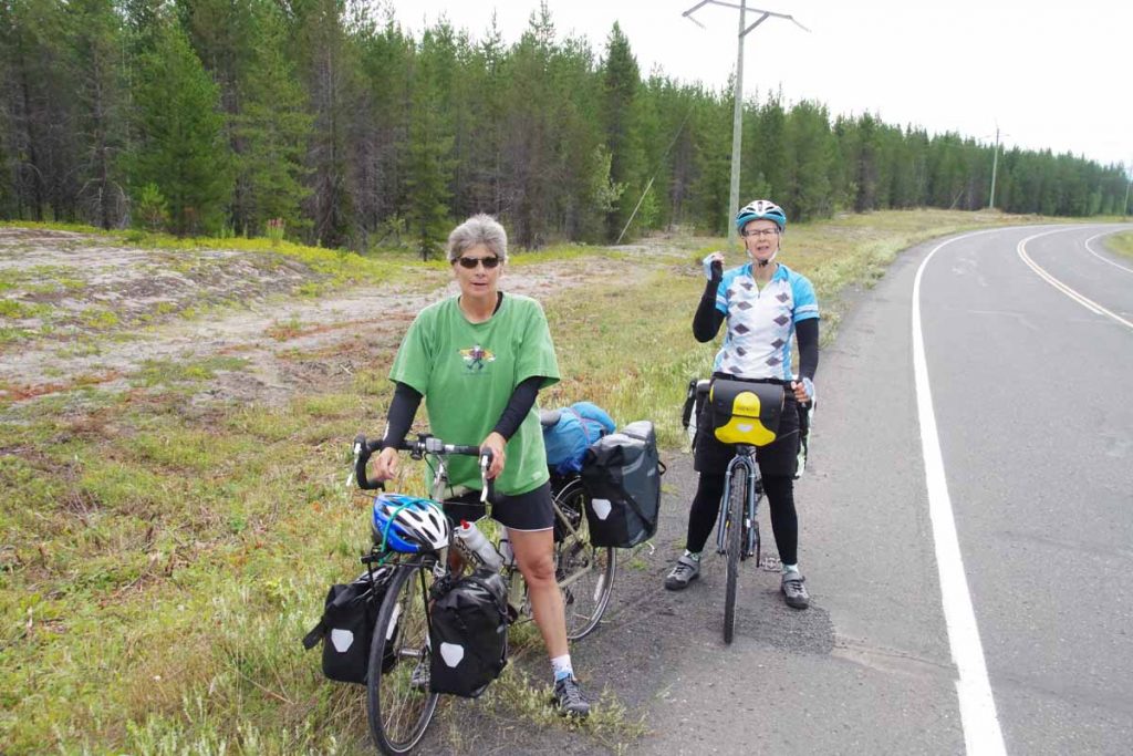
It was otherwise a reasonably relaxed day with fewer hills than previously. Given the bears I had seen, I wanted to avoid some of the rivers (with salmon spawn) and had found this nice site by a lake known as “Bonus Lake”
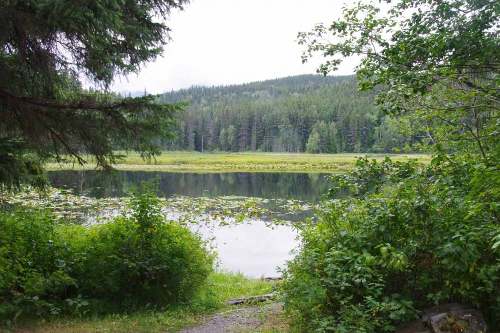
The one thing I did discover was a water filter was more important for still water like lakes than flowing water from streams as just scooping water brought all sorts of little creatures swimming along.
Bonus Lake to Kitwanga (day 5)
I survived the lake bugs and today finished (except for 4km) the remainder of the Cassiar Highway. A few hills but less severe than further north.
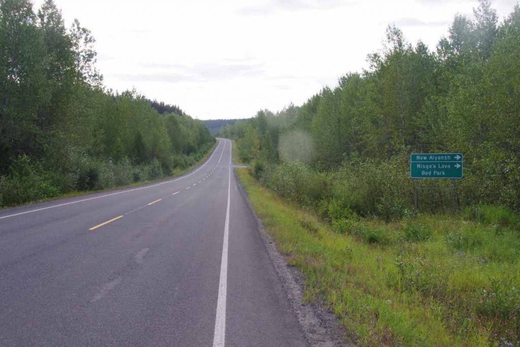
Initially I crossed Cranberry Bridge #2 and then Cranberry Bridge #1 at 18km. After the second bridge, the road was a rougher chip seal than before. Looking at the water stops including Moonlit Creek at 50km (posted no camping), I think Bonus Lake had been good spot to stop. At 56km was a sign to Gitanyow,
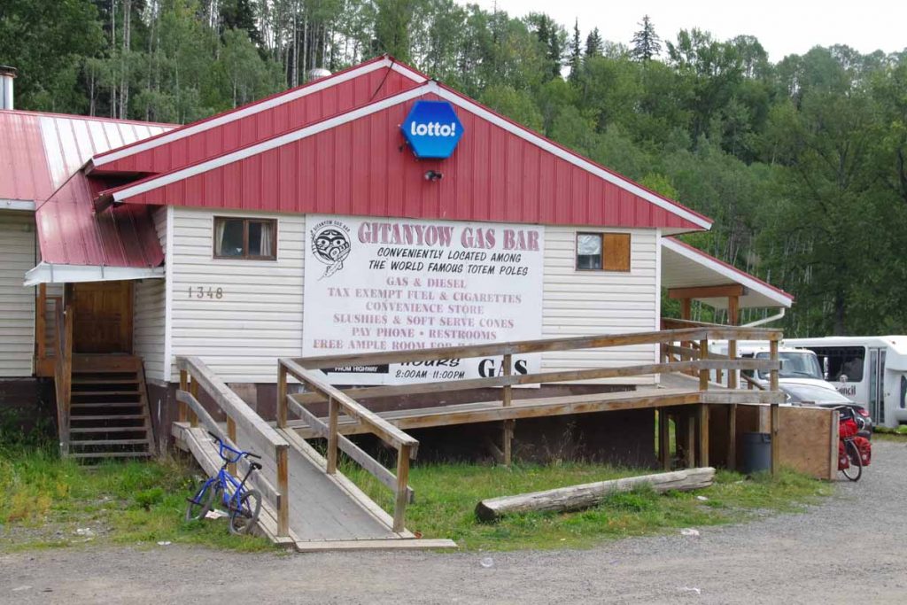
a small first nations settlement. Good spot for a lunch as well as looking at some fairly impressive totem poles.
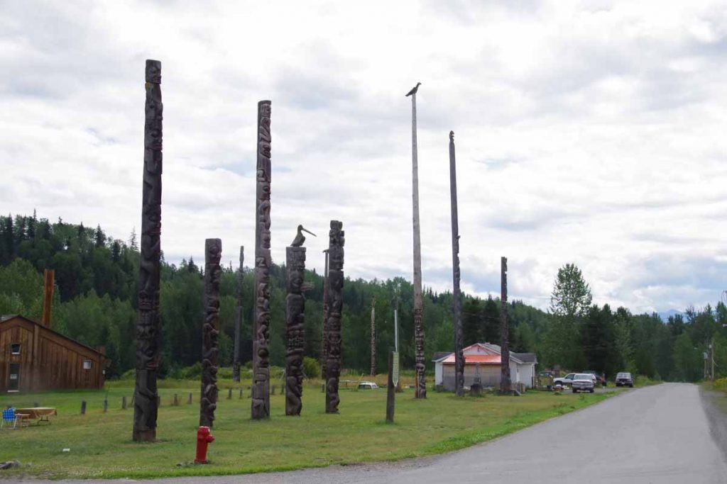
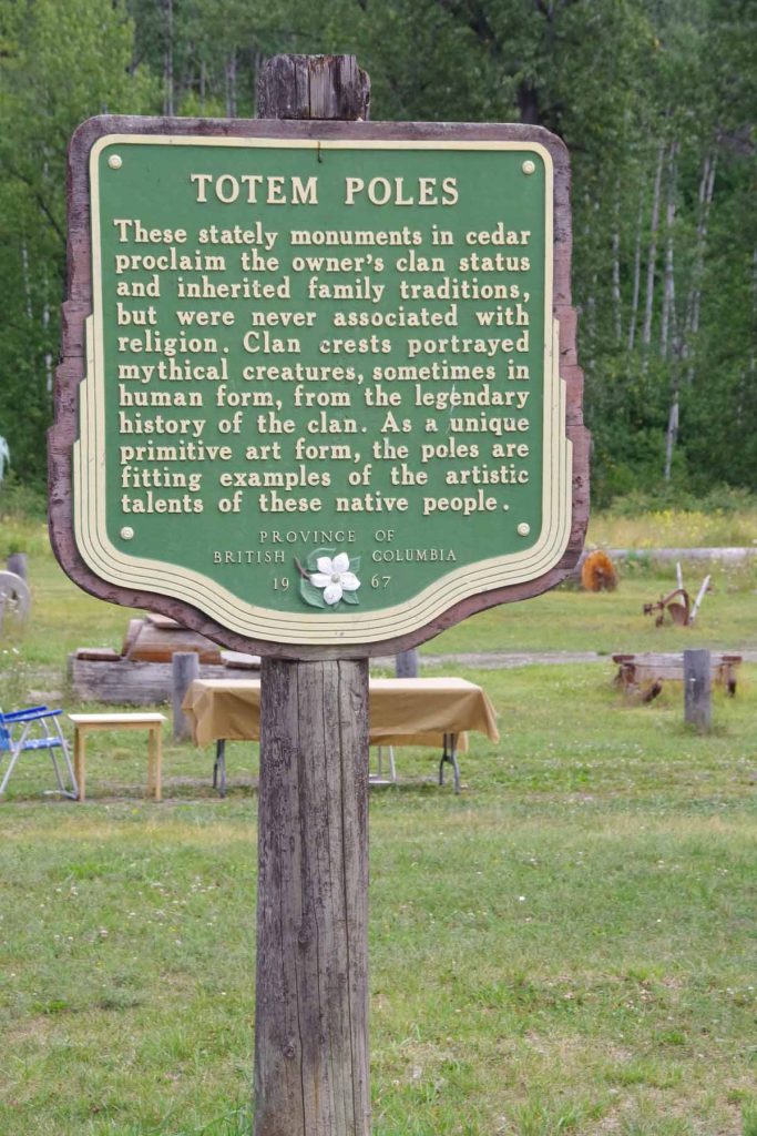

The other exit from Gitanyow was only 20km from end of the road. This passed fairly quickly and I reached Kitwanga the last settlement at end of the road.
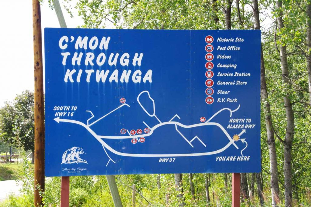
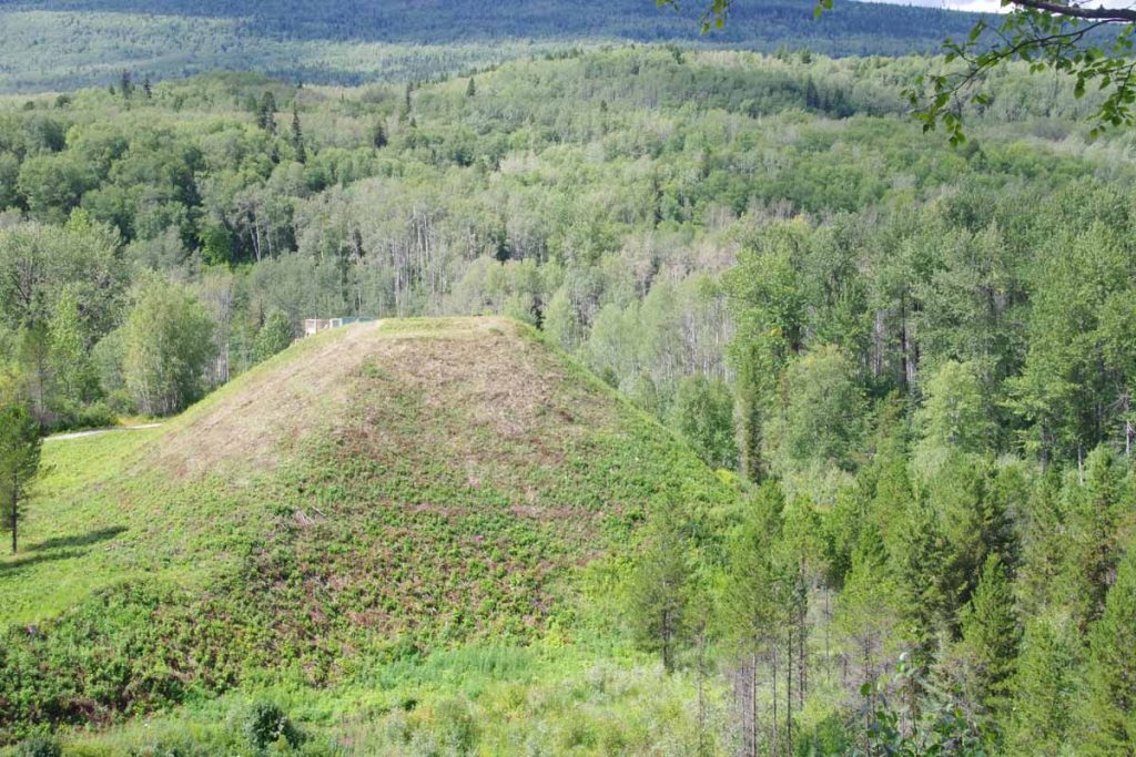
I took the bypass including coming through the old historic Battle Hill.
The local RV park advertised wifi, so decided to stay there. Unfortunately, wifi didn’t work with a “data block” message. Apparently, some previous customers had used up all the monthly bandwidth allotment and so no more until the next month. RV park owner was a bit frustrated with customers that might use Netflix and similar apps since it could gobble everything up and leave her with frustrated customers.
Kitwanga to Smithers (day 6)
Started the day by cycling 4km to Petro Canada station in time for a 7am opening time for restaurant and breakfast.
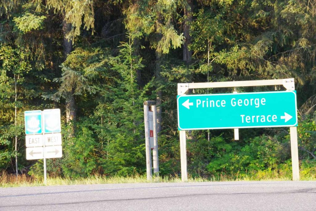
Reached end of the Cassiar!
There are normally three employees and by 7:15am, I was outside with the clerk and the waitress as well as a few customers. The cook had the keys and was late. However, things got unlocked and overall had a good breakfast before setting on the road.
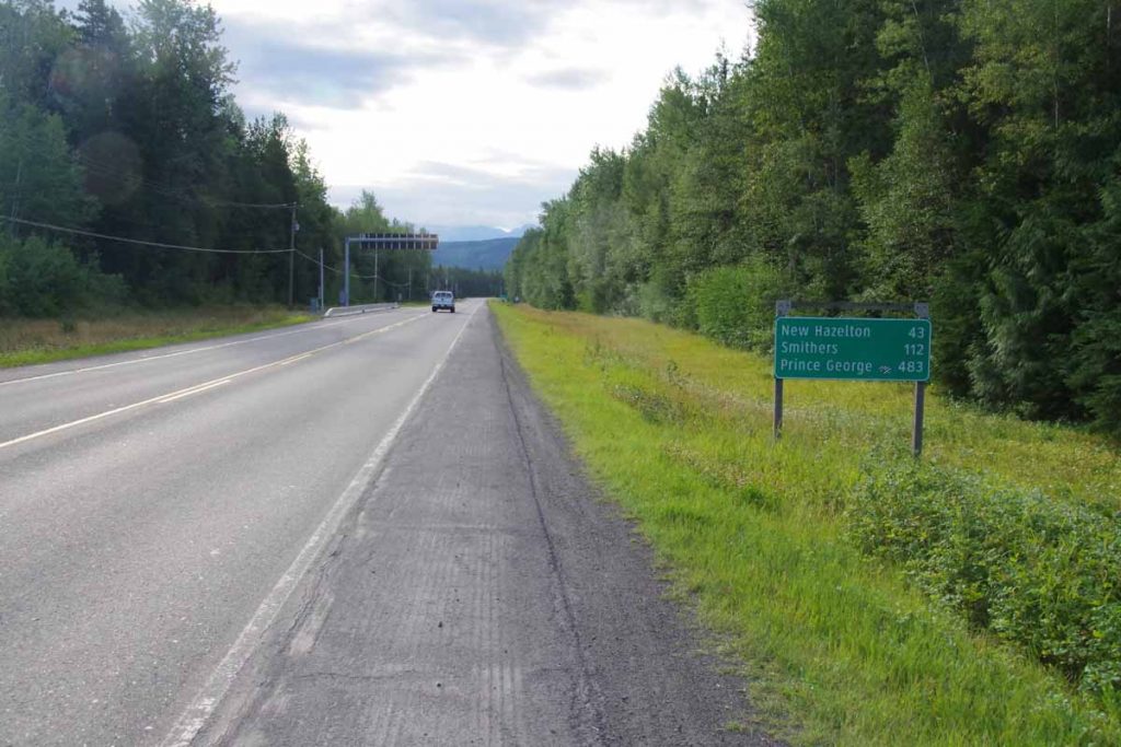
As a first impression, the Yellowhead Highway had wider shoulders but also more traffic. The route mostly followed the rivers but still had a moderate amount of climbing. Less of the short sharp climbs, but several longer climbs and then descents. Overall the bike was going well, though I noticed some occasional slips again.
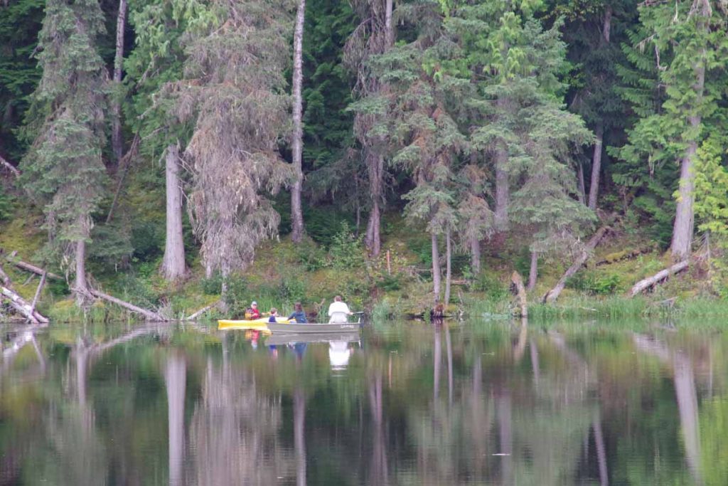
Seeley Lake looked like a nice campground and location.
After 48km, came down into New Hazelton and while still early, went for lunch. Notice below to see the first stop light I had seen since Whitehorse.
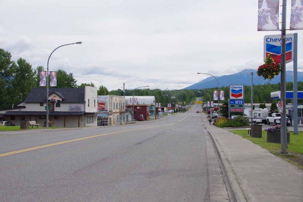
Also the first chain restaurant.
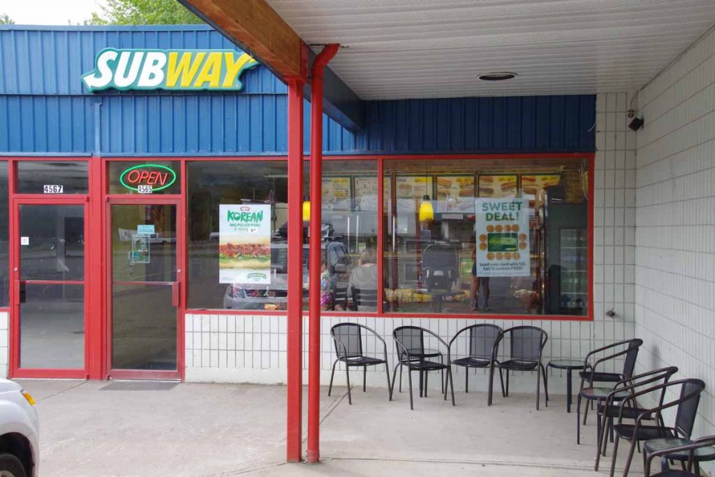
New Hazelton while not large was definitely a bit more civilization than anything since Watson Lake.
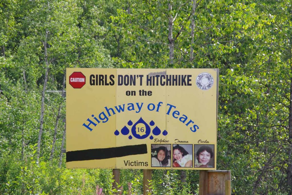
Along this highway, there seemed to be some sort of anti-hitchhiking campaign.
After New Hazelton, a good 5km long climb and then more ups and downs. Started to pick up a better tailwind breeze. That was good from perspective of making it a bit easier, though it also increased the pings I got of being lightly loaded. Figured I could get this sorted out in Smithers when I reached there and brought things to a bike shop.
As detailed in post preceding this one, unfortunately my freehub gave out at 97km. I started walking and almost immediately, a pickup truck driver was kind enough to notice and bring me to local bike shop, McBike. So missed the last 17km of cycling into Smithers and will now need to sort out best way to get bike fixed and back on the road again. See preceding post for further details.

The picture of the lake the boat and fishermen is great! So was the picture of the bear – it looked pretty big. It is so interesting to see such a wide swatch of land that is still very wild and only lightly inhabited by people. I hope you can sort out your bicycle issues.