Humahuaca
The town of Abra Pampa came alive after dark. As I walked around it was a big contrast with around 4 pm when I arrived. I saw little shops I hadn’t noticed before, most likely because they were closed but also the night light made them easier to spot.
I started with my standard ritual of watching the temperature on my cycle computer decline from the inside hotel as I got on the road. It got to -4C (25F) before it started back up again.
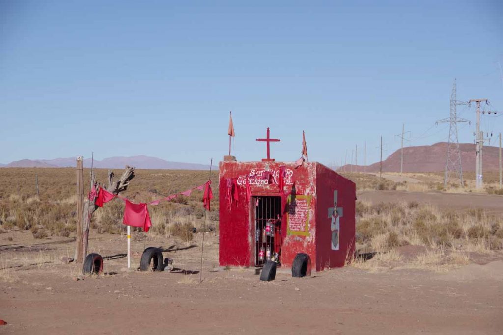
I think the photo above was of a memorial shrine, they are getting fancier here in Argentina.
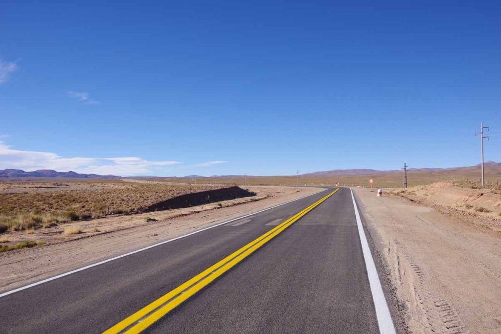
The first 25 kilometers were a gradual climb and still in wide open spaces.
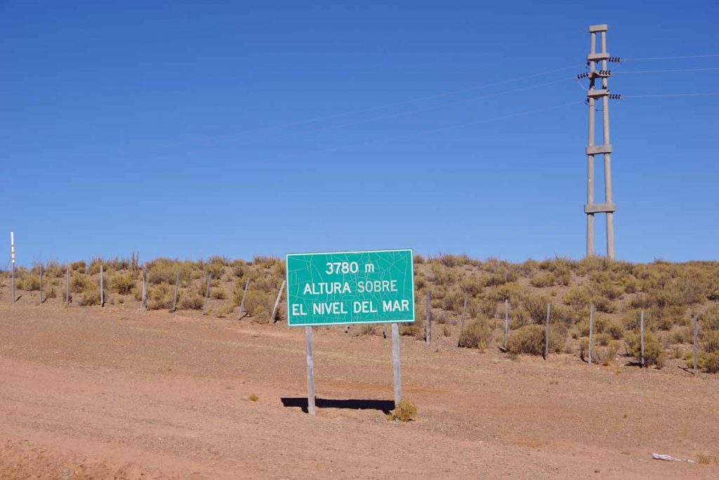
I got to the top at this sign, 3780m/12400ft. When I was there I wasn’t thinking much of the altitude since I had already been as high as 4500m. It wasn’t until later that I thought, “this is higher than Trail Ridge Road, Loveland Pass, etc”. It will also be the high point for a while as this marks start of a gradual descent towards Salta.
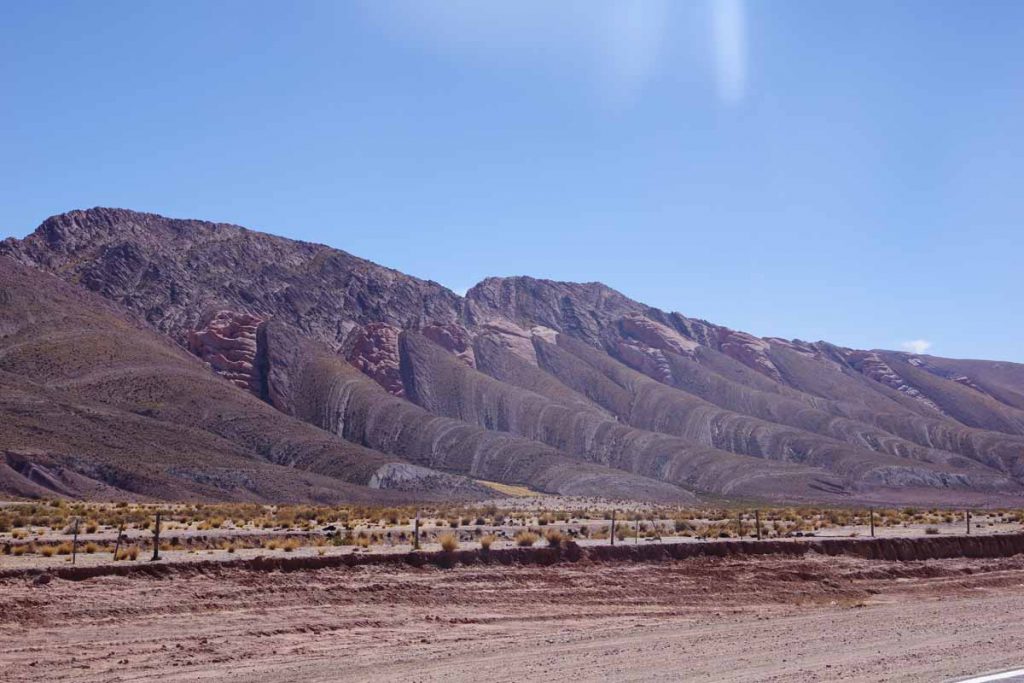
After this I started following river valleys including this one with interesting banded rocks.
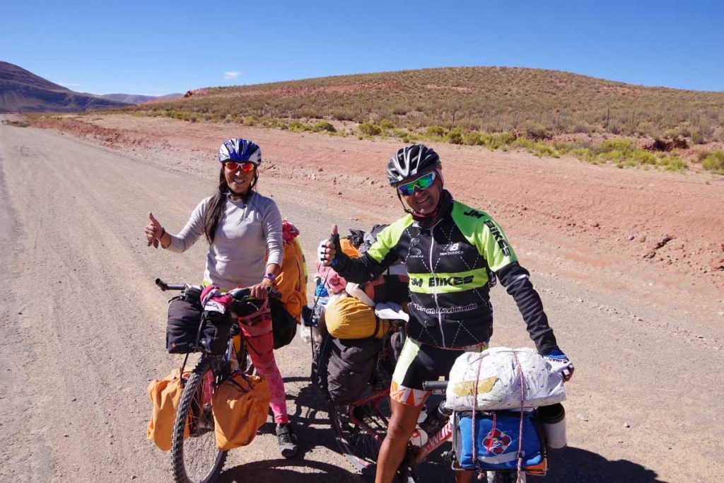
I met these Argentinian cyclists who were on their way to La Quiaca, and almost there.
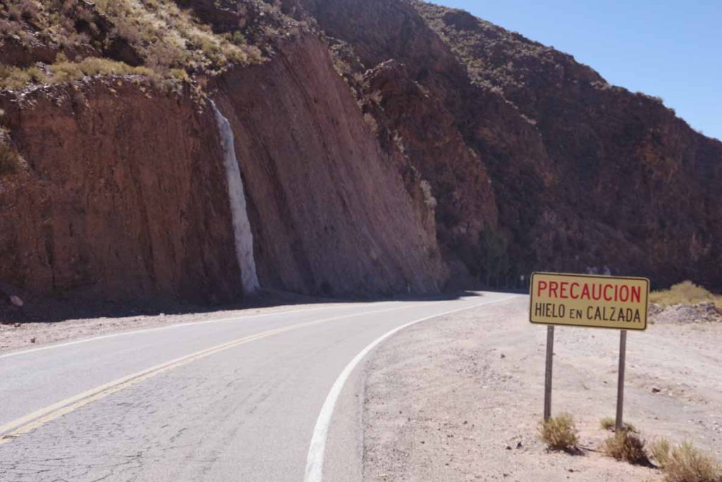
Watch for ice on the road!

Here was a closer view of the frozen waterfall from the previous picture.
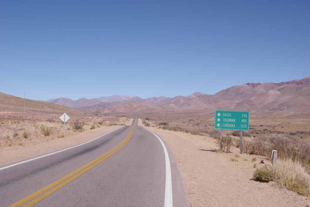
I climbed over one valley and then started downhill again.
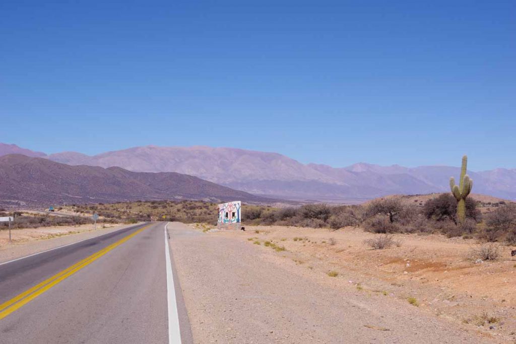
This is a region with some large saguaro-like cactus.
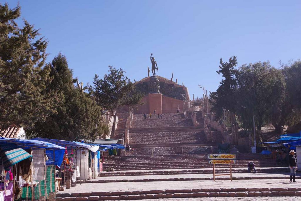
Without too much trouble, found my way into Humahuaca. This is a touristy town and I spot more tourists walking around as well as a number of different hotels and guest houses. I am also now around 3000m/10,000ft and have started the descent off the altiplano.
