Buta Ranquil
Four days cycling from Malargue have brought me to Neuquen Province, the first in the Patagonia region. Cycling was through dry areas, with some rough roads and not many towns.
Day One – Malargue to Bardas Blancas
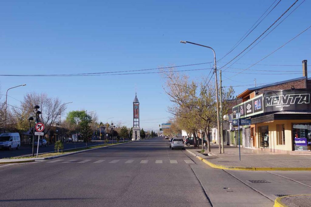
Relaxing rest day yesterday in Malargue. Today was an easier ride over the hill and down to the Rio Grande town of Bardas Blancas.
Above was the clock in the middle of town. Off to one side was a large Vea grocery store. It was cool but not cold as I cycled out of town.
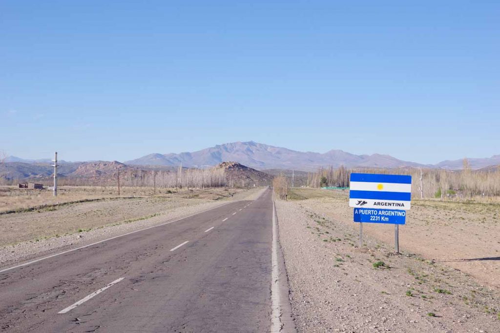
On the way out of town was another sign to Puerto Argentino (Port Stanley). The asphalt was rough here but was better later.
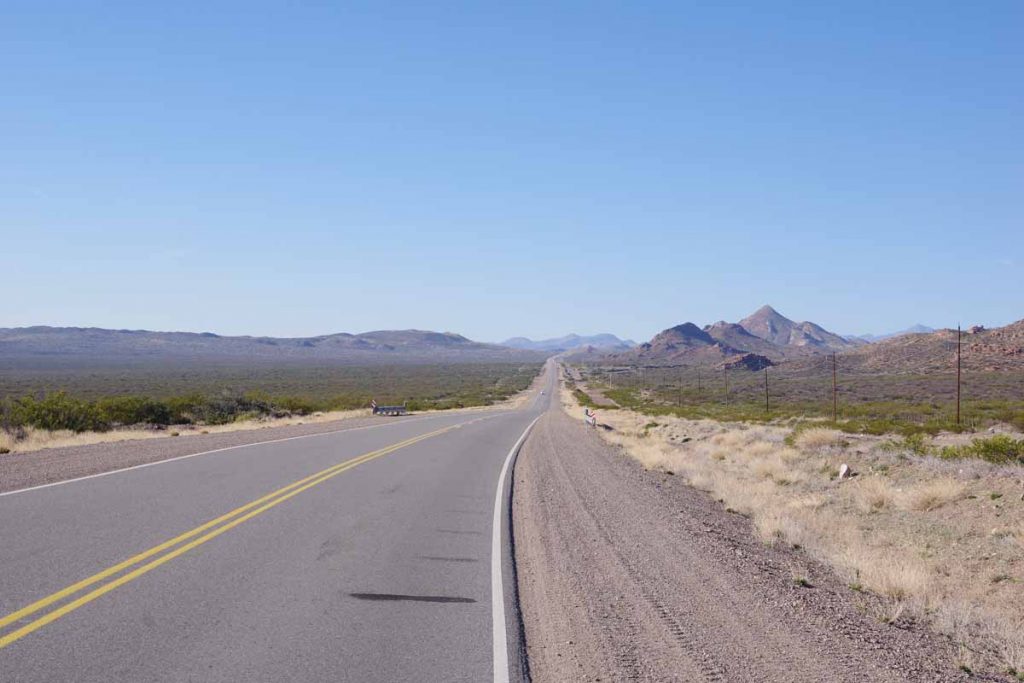
Wide open spaces. This area continues to be dry with only low scrub brushes.
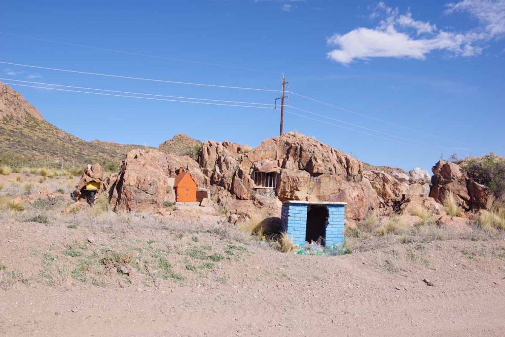
Still small shrines, though they seem to use the rocks more.
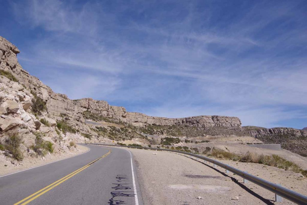
Getting close to the top of the hill with rock outcroppings.
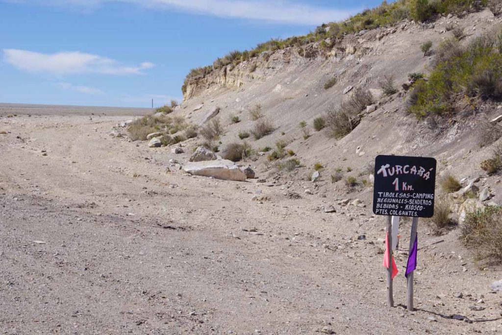
There was a sign for a business that looked promising.
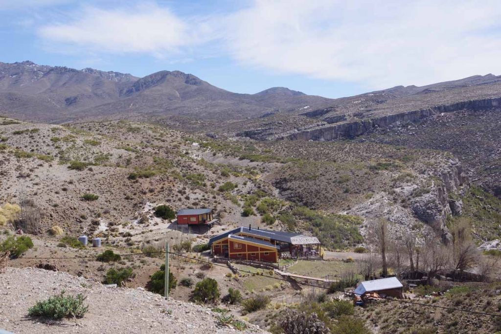
Unfortunately, it was down below and off the road.
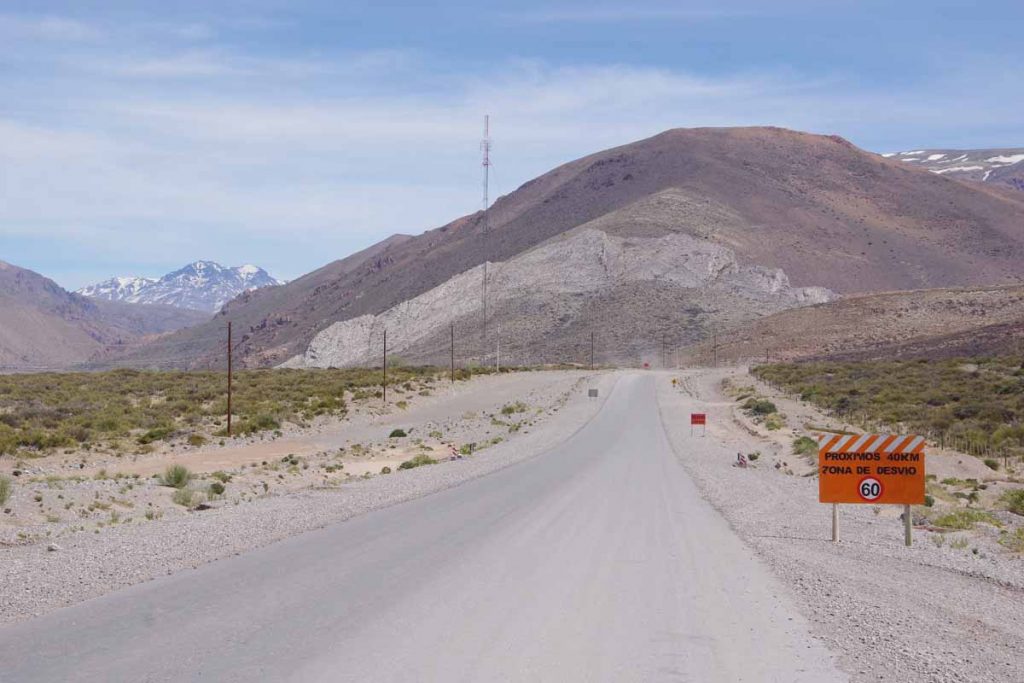
As I got closer to Bardas Blancas, the first signs for road construction followed by several kilometers of gravel road.
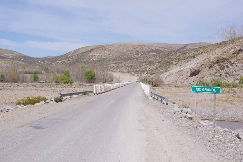
Rio Grande River. Plan is to follow this valley for the next day.
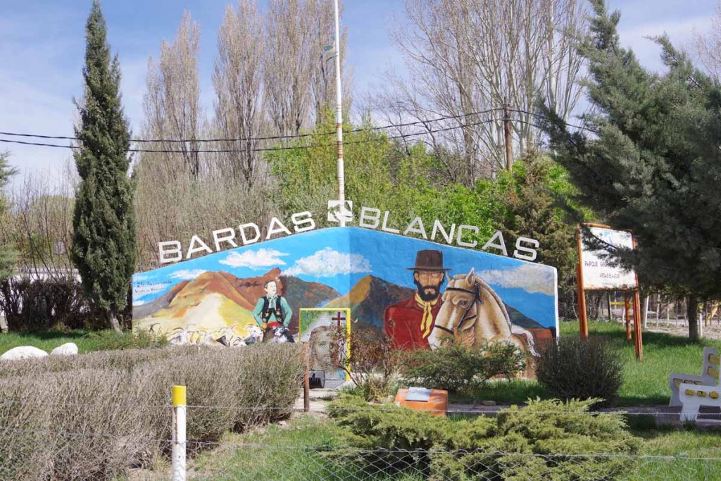
Bardas Blancas was small village whose population is ~50 people. There was a small hostel here with an inexpensive room. Had a nice big lunch that ended up being as expensive as the room. Otherwise a relaxing afternoon in anticipation of a tougher ride.
Day Two – Bardas Blancas to a gravel pit
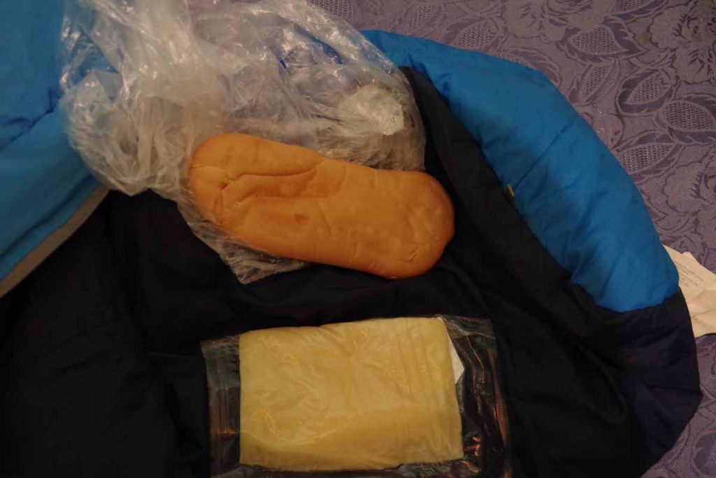
Breakfast was bread and cheese. Somehow the cheese reminds me of geology: (1) the cheese starts similar to igneous rock from a mold (2) I purchased it in sedimentary rock mode, when it has been sliced and then layered (3) after a day or so in the panniers it looks more like metamorphic rock and has been transformed by heat and pressure.
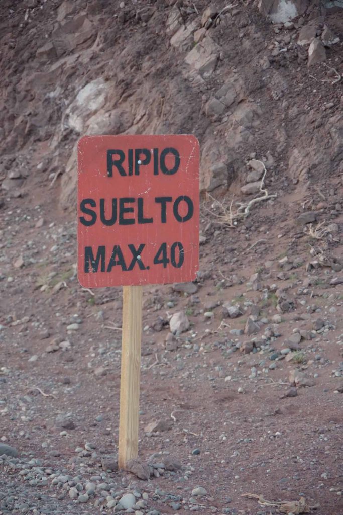
There were three main sections of road today: ~30 kilometers of mixed gravel and pavement – followed by 26 kilometers of asphalt – followed by the start of a 50 kilometer gravel stretch.
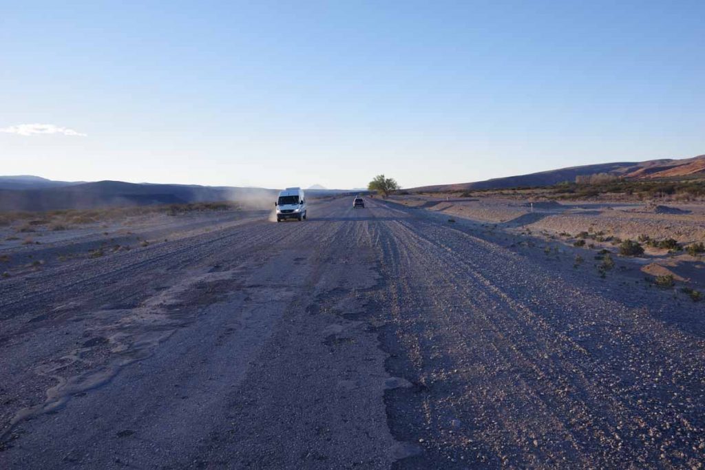
Good example of the first intermittent section with gravel and asphalt. Overall this wasn’t too difficult to ride and certainly easier than later.
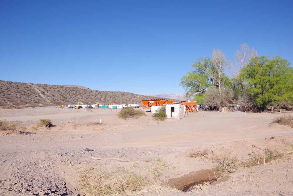
There were a few “construction” signs but not much actual examples of the road under construction. There was this work camp, but unlike Bolivia where they were working everywhere on the road even on a Sunday, there were far fewer signs of any construction at all.
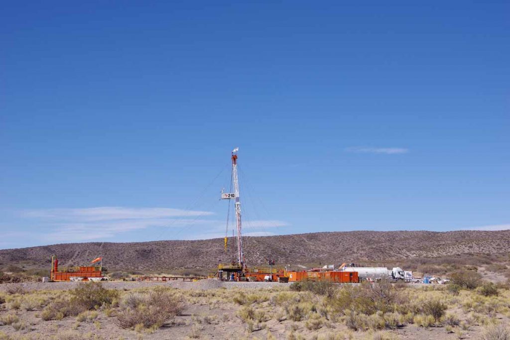
Well number 210
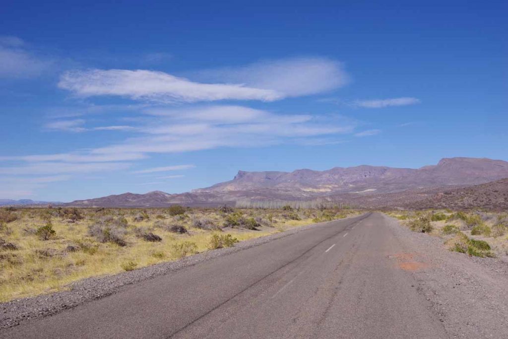
Good pavement and great views along the way.
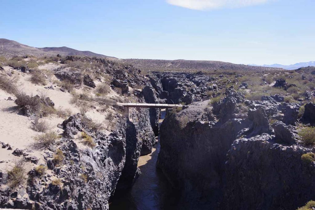
I crossed the Rio Grande again. The river was narrow and down in a small canyon that was marked by lava rocks.
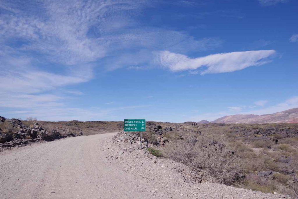
After this started the long gravel stretch. The first 10 kilometers had many loose rocks, often as big as my fist. It was a slow ride with frequent stops.
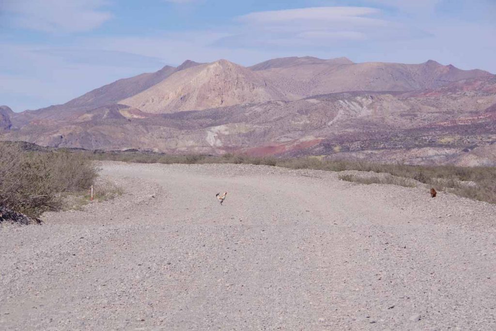
This chicken is crossing the road. I don’t know why.
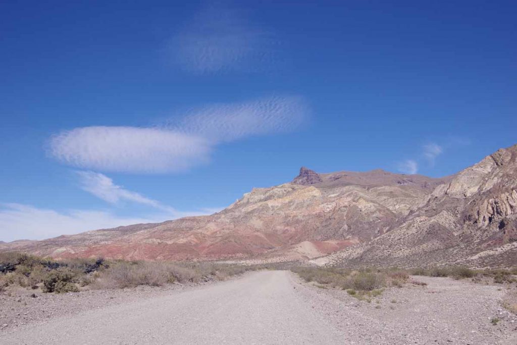
Another section of rock outcropping.
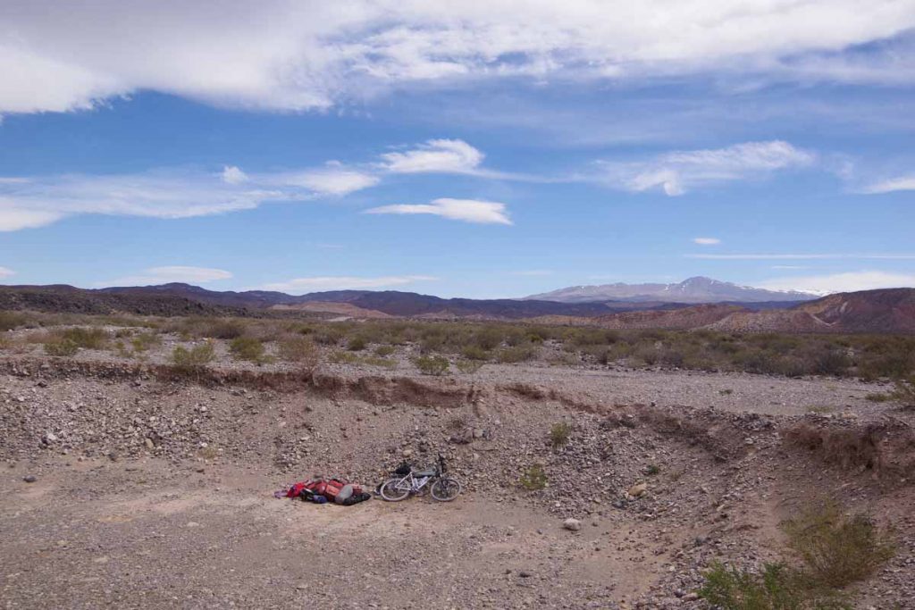
At 81 kilometers, I was coming to ending point of where the Rio Grande would split from the road. I have an Android app, iOverlander that overland travelers use to mark points along the way. Most of these are in trucks or motorcycles, but still helpful to find wild camping places. This gravel pit was one place listed and it gave some shelter from the wind.
Day Three – Gravel pit to Barrancas
Today I made it to Patagonia. The first 25 kilometers continued on the gravel road. The surface was marginally better but there was also 500 meters of climbing so it was still a slow ride.
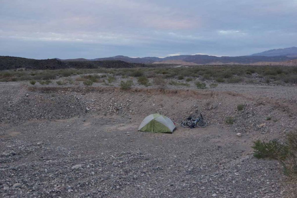
My campsite in the gravel pit. The wind came in bursts. Sometimes a strong wind and a lot of the night not much wind at all.
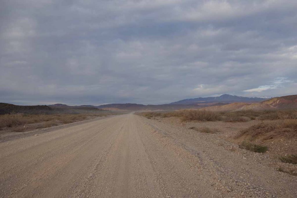
Start of the gravel road.
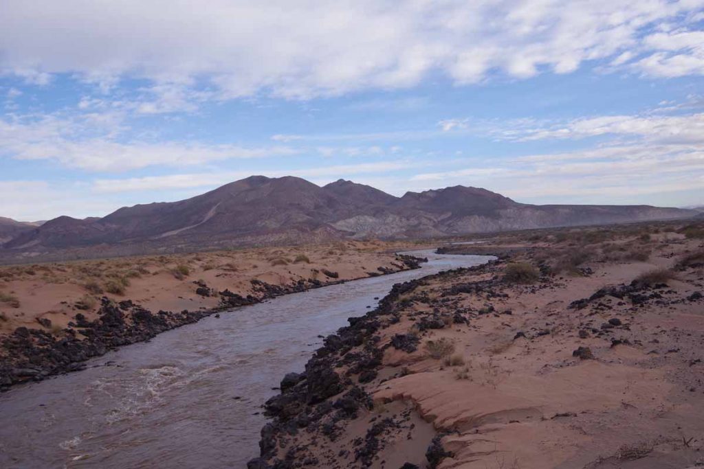
My last crossing of the Rio Grande. Notice how brown the water is with sediments.
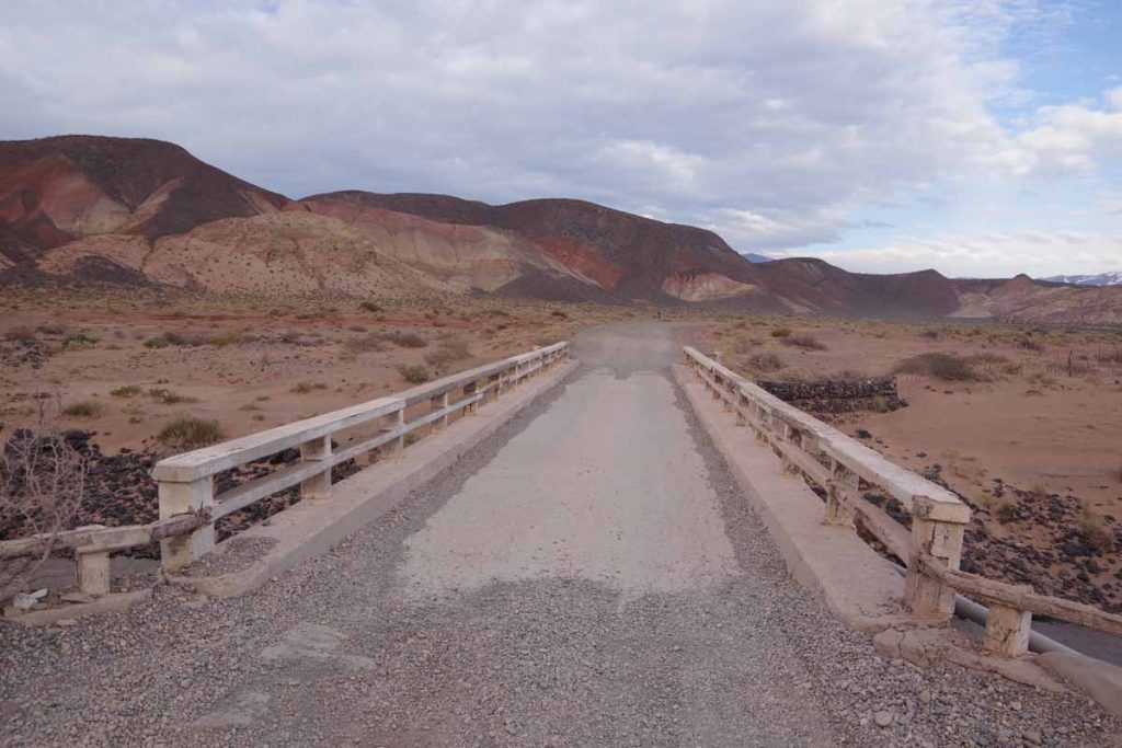
Small bridge over the river.
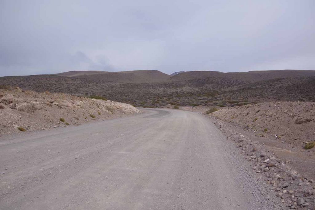
Pavement!
It took more than three hours to slowly ride up the gravel road up the hill and finally saw the asphalt. As I got closer to top of the hill the wind also picked up.
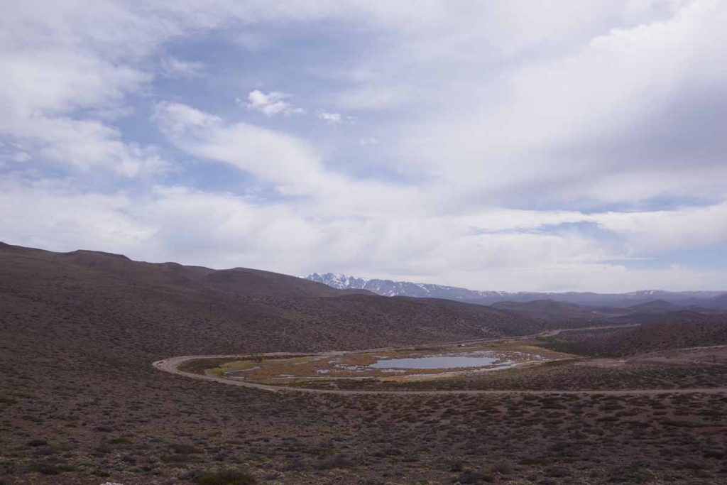
Highest point, looking back on a small lake.
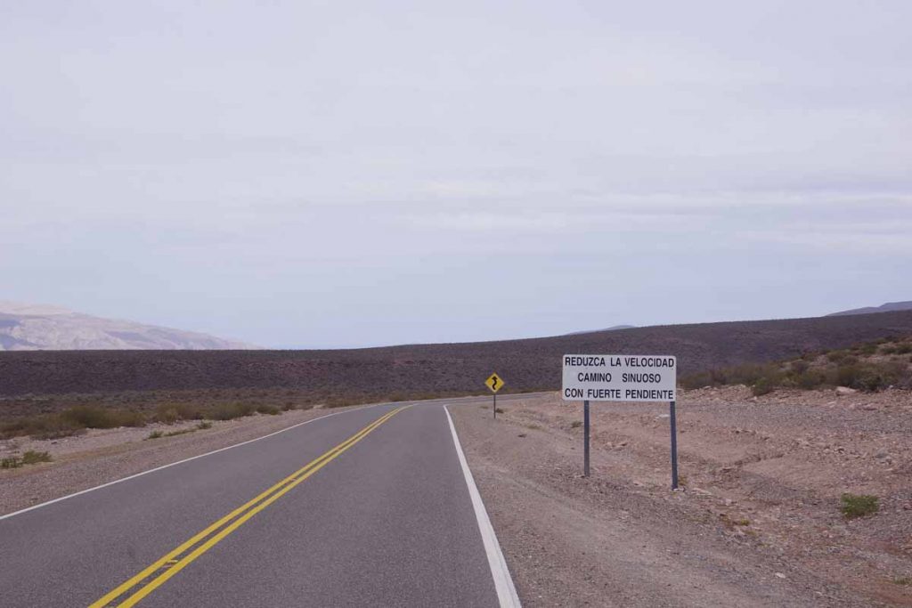
Slow down, winding road with steep grades. The wind kept it from being too fast.
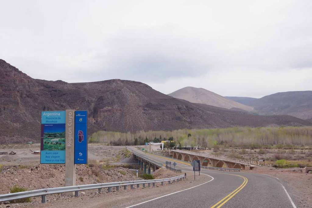
At the bottom of the hill was the Barrancas River. Mendoza Province is part of Cuyo Region. In Argentina I started in the Region Norte near Salta. The Cuyo region was in the middle.
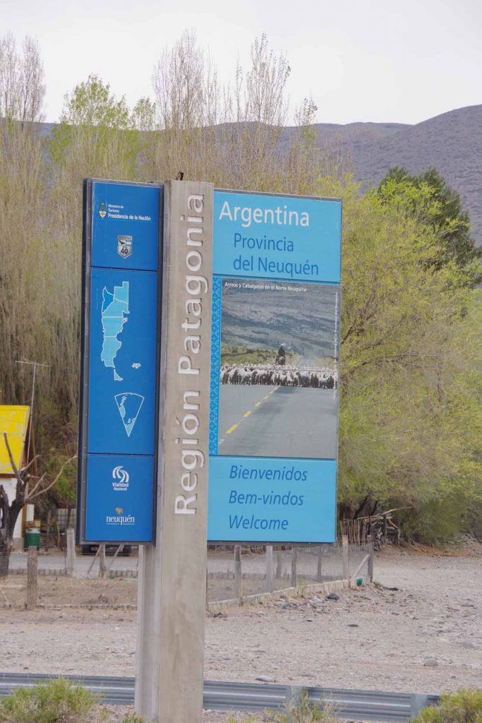
Across the river was the Region Patagonia. Hooray!
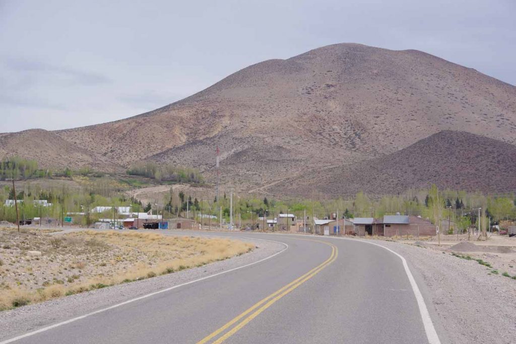
Climbing up the hill was small town of Barrancas. Another small hostel here. Nobody was around, but there wasn’t anywhere else to go, so walked around town and eventually someone showed up.
Day Four – Barrancas to Buta Ranquil
Today a short ride, less than half day to Buta Ranquil.
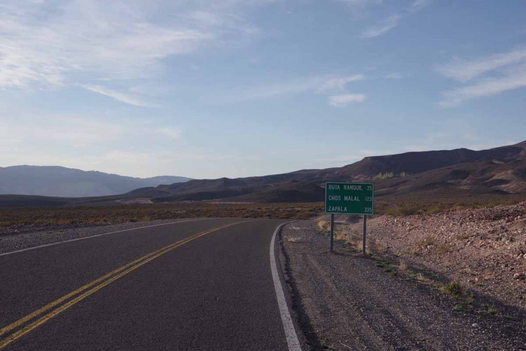
Up the first hill out of town. It was a cold morning with a brisk wind.

Continued wide expansive views along the way.
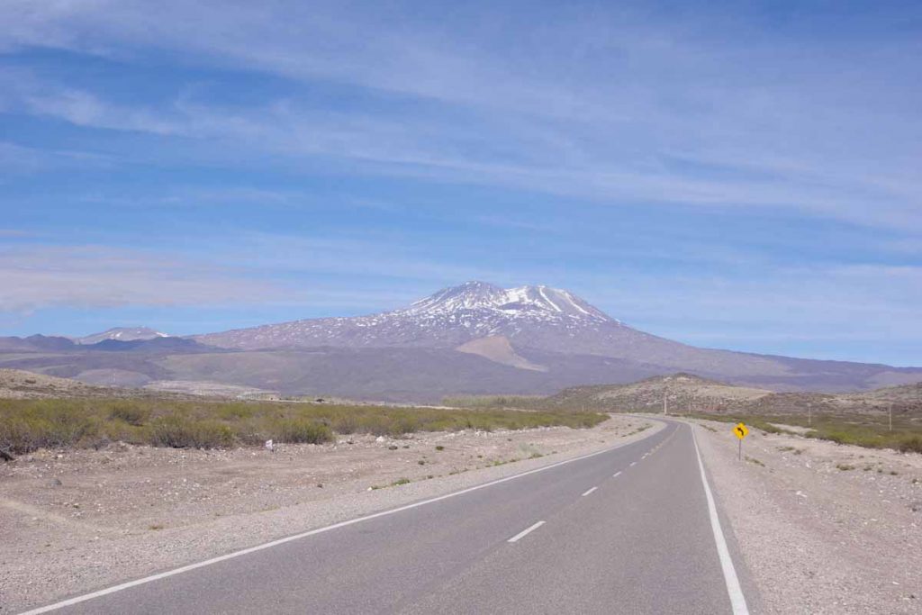
Buta Ranquil is located right next to a tall mountain. Without much difficulty was there by 11am after a shorter ride.
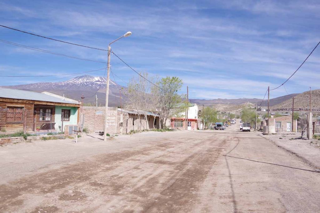
Some of the streets in town. Getting in early meant I was still before siesta time, so shops were also open.
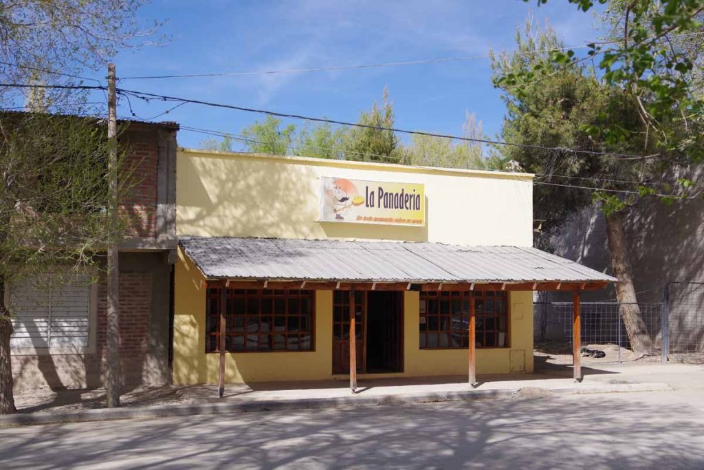
Bread shop in town.
Otherwise nice to be back in a place with internet and small town here. Expect Chas Malal to be an even larger town and then some gaps again before Bariloche. Not sure when, but I anticipate areas with more trees as I get close to Bariloche.
My latitude of 37 degrees south is now further south than Cape of Good Hope in Africa (34 degrees south) and almost as far south as southern part of mainland Australia (39 degrees south). Tasmania and New Zealand still have points further south, but in a while, I’ll be far enough south that there won’t be large land masses to block the winds from whipping around the Southern Hemisphere and into South America. Patagonia is known for wind and expect these will become stronger as I go south.
Also a note that Laura and Ernie had an interesting post about their ride through this area.

Odd thoughts hit the lonely traveler. IE: Geologic cheese. Your blog is like a good book, looking forward to the climax, but don’t want it to end.