Cycled a great little country road today, in between two larger cities.
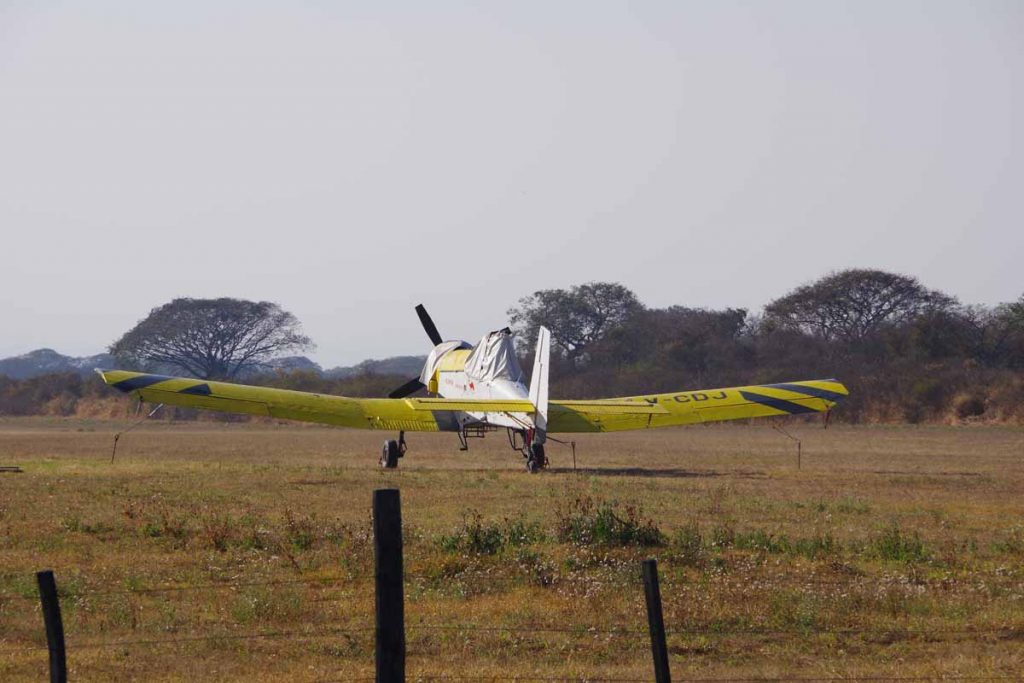
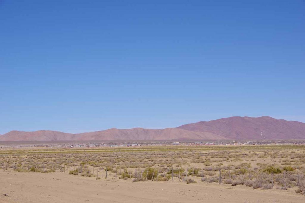
It was hectic leaving Jujuy as I followed a major road out of the city and crossed the freeway. However, within 10 kilometers I was up a short hill and the road kept getting more rural. I passed the small airstrip in photo above.
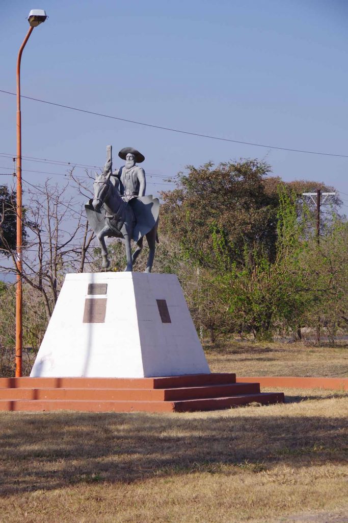
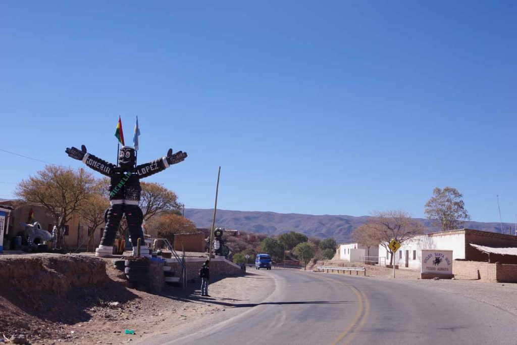
The town of El Carmen was at 32km and had this conquistador as statue entering town.
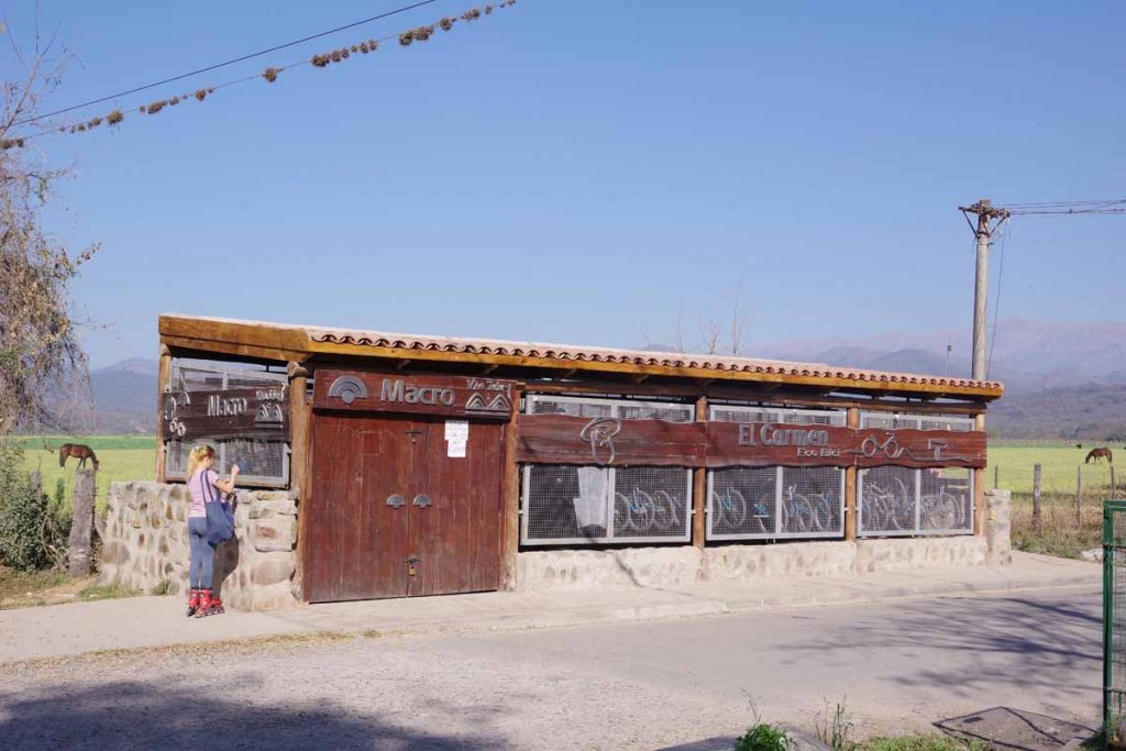
Not long thereafter, I passed this bicycle rental place.
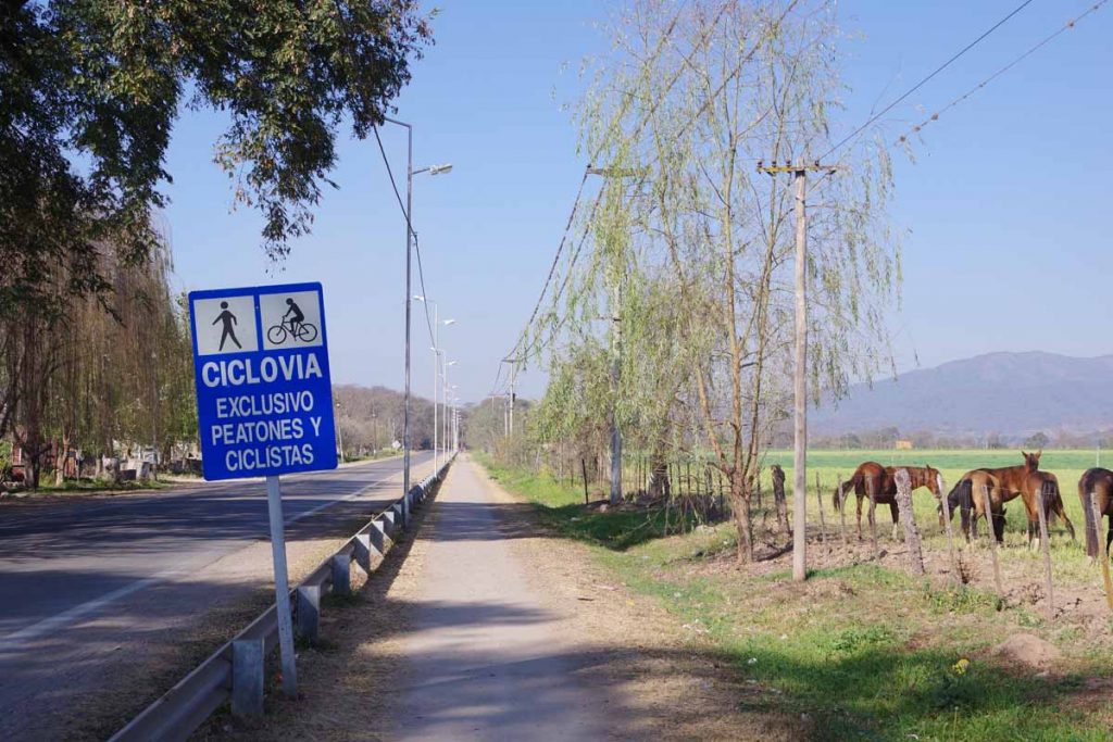
It was next to 3 kilometers of bike path that I followed.
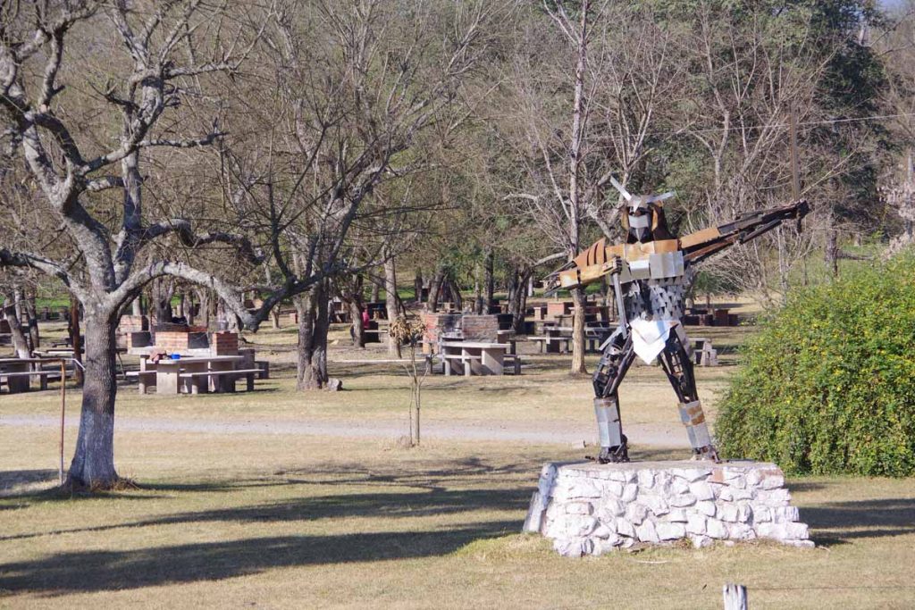
It ended at the municipal campground.
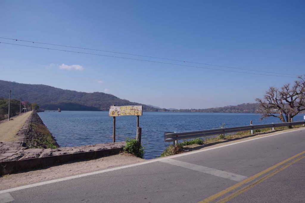
The campground was next to one of two lakes.
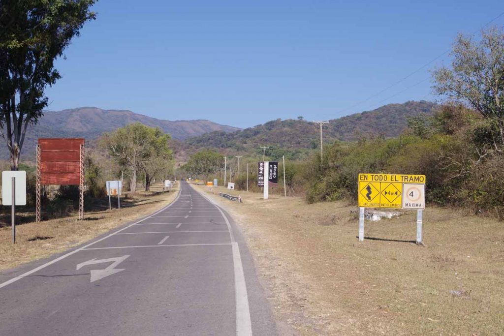
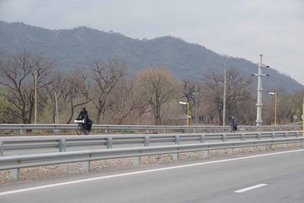
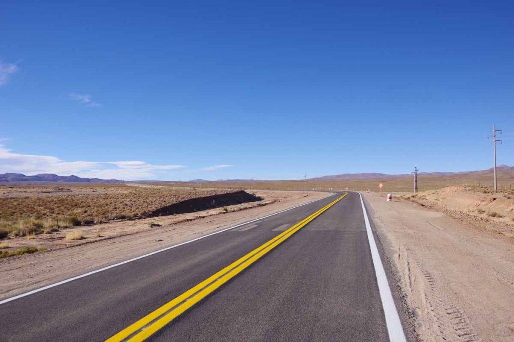
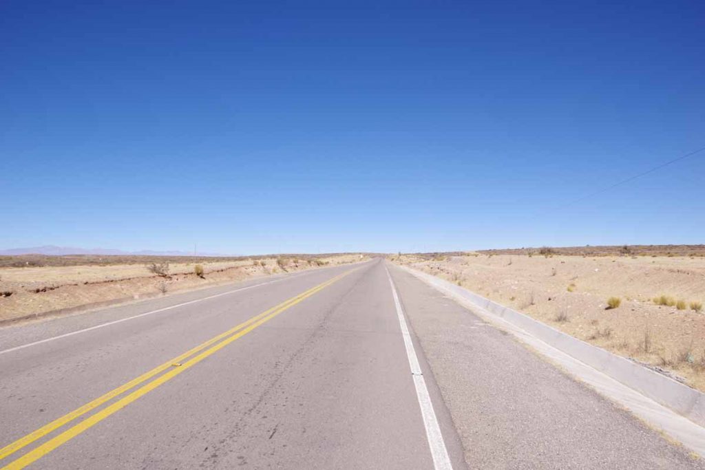
At 40 kilometers the road split and I followed this small road. Trucks and buses were prohibited and the entire road was signed as 4m (13ft) wide for both lanes. Even small cars had some difficulties fitting into the lanes and in multiple places a sign would indicate cars to go one at a time. The road wound its way back and forth as well as slowly climbed 300m/1000ft.
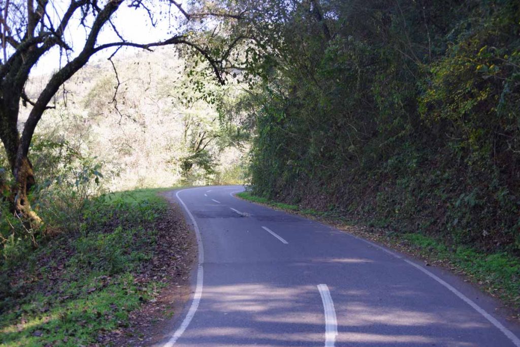
It was a great quiet little country road.
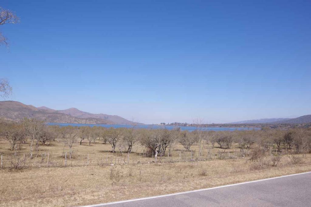
By 65 kilometer mark I had passed the high point, and came past a second lake. The road widened a bit here and traffic also increased.
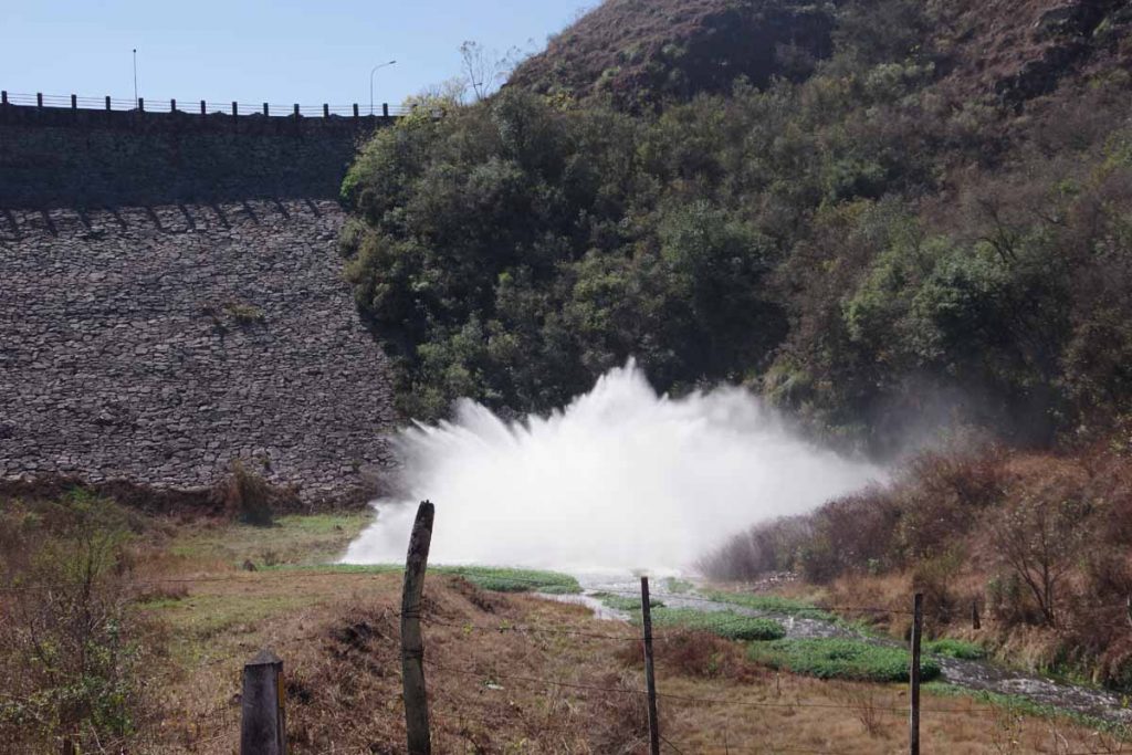
The bottom outlet of the lake had a rather bit blast of water coming from below the dam. While it was mostly downhill, there were a few other hills to climb here.
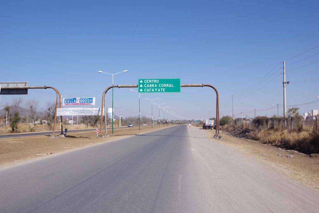
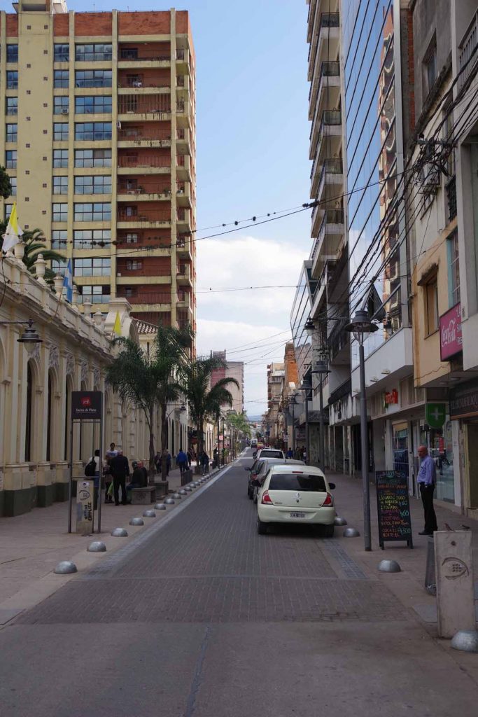
The last 15 kilometers, I came to a larger highway and then into small city streets again as I came into the large city of Salta. I found a hotel about a block from the main square and did a quick walk around some of the shops. Overall a nice place and I plan to take at least tomorrow here as a rest day. Nice to make it to this larger city.
Category Archives: Argentina
San Salvador de Jujuy
Downhill but not always easy riding.
Started out at 2500m/8400ft still in a region with cactus. The first 30km was a continuation of easy cycling, an easy descent and not much in the way of wind. The route crossed a few small villages where a set of raised markers were placed between opposing traffic lanes to keep them separated. This also meant vehicles were more reluctant to pass me, but fortunately mostly well behaved.
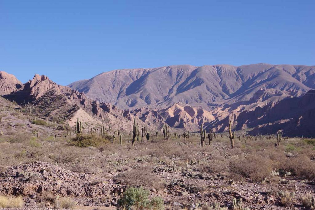
A good example of the valley I followed.
At 30km, it mostly leveled off and a headwind kicked up. The next 15km were tougher riding as there wasn’t much descent and even a climb of ~100m/350ft as the wind increased. It got somewhat overcast. After this a 6km steeper descent back to the river valley and less wind for rest of the ride.
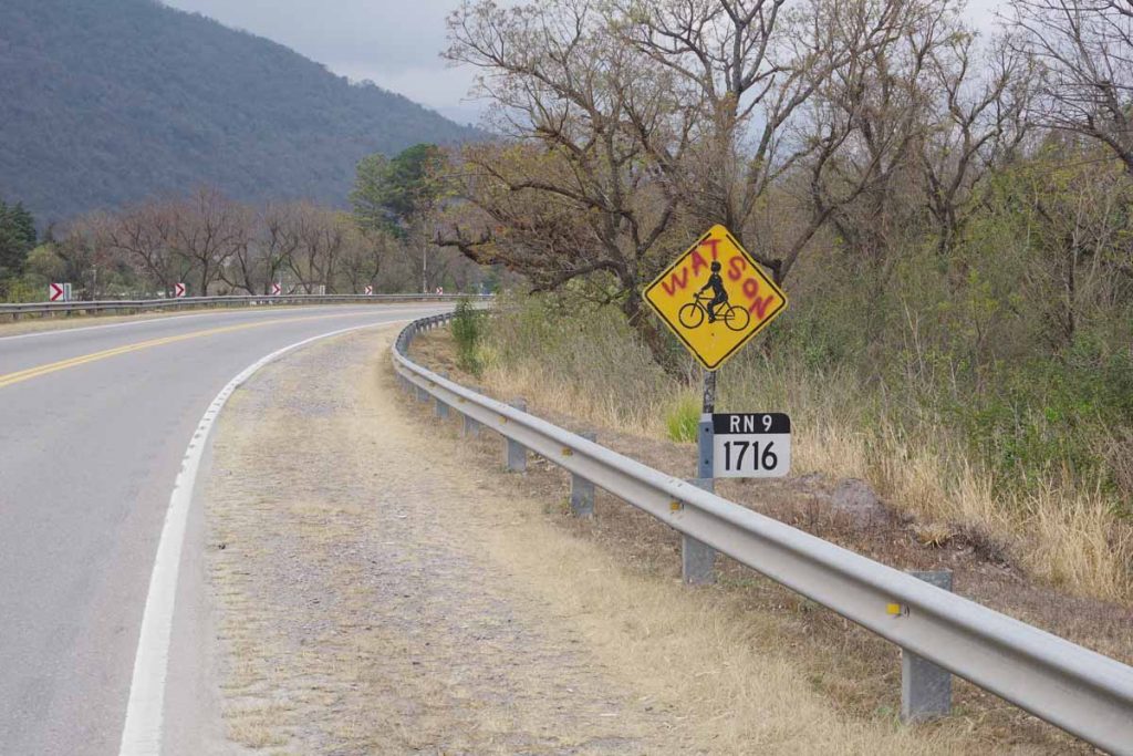
I’m not sure who “Watson” is, but nice to see a bike sign. The road didn’t have a paved shoulder and gradually traffic was increasing. The “RN 9” is ruta 9 at 1716 kilometers north of Buenos Aries.
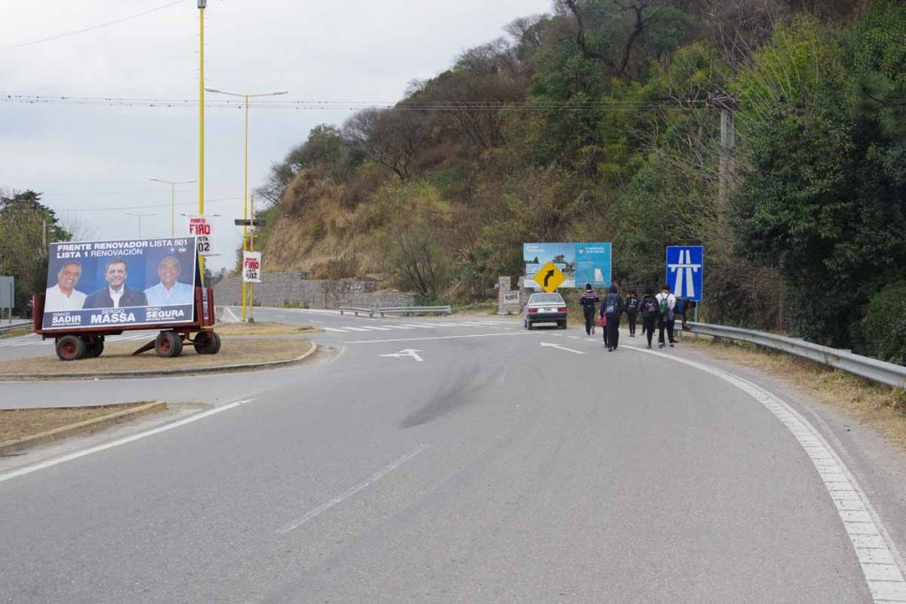
In the little town of Yala, the road became four lanes.
I saw two touring cyclists on the opposite lanes, but it was a divided highway and so not possible to talk further.
The last bits of the ride brought me into Jujuy, also known as San Salvador de Jujuy. This is a town of 300,000 people and hence largest place I’ve been in Argentina so far.
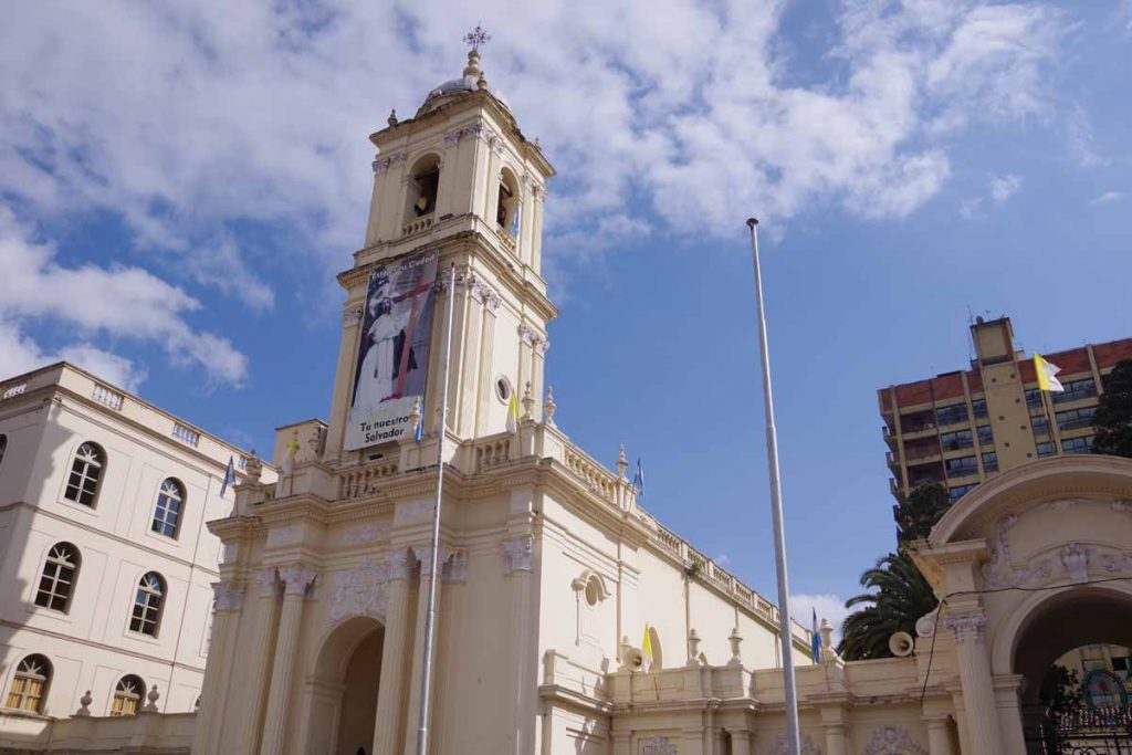
There is a central square with a large church.
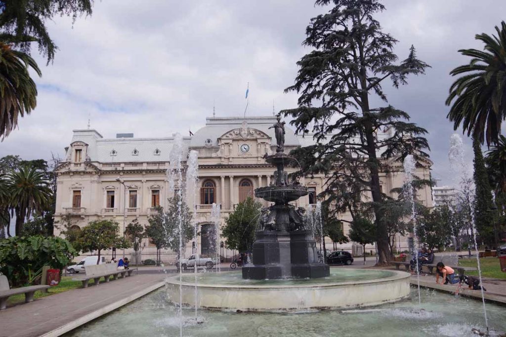
Also fountains and a nice government building.
I was surprised to see palm trees again on the main square, particularly since I just left the tropics with cactus and not palms.
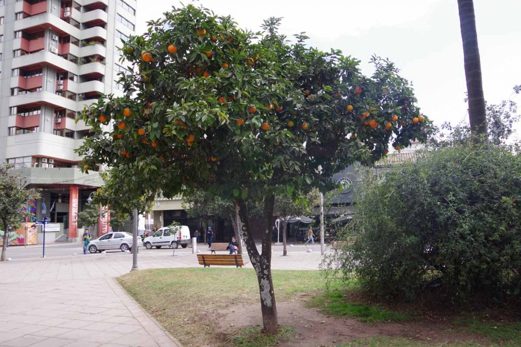
There are oranges on the trees in the square.
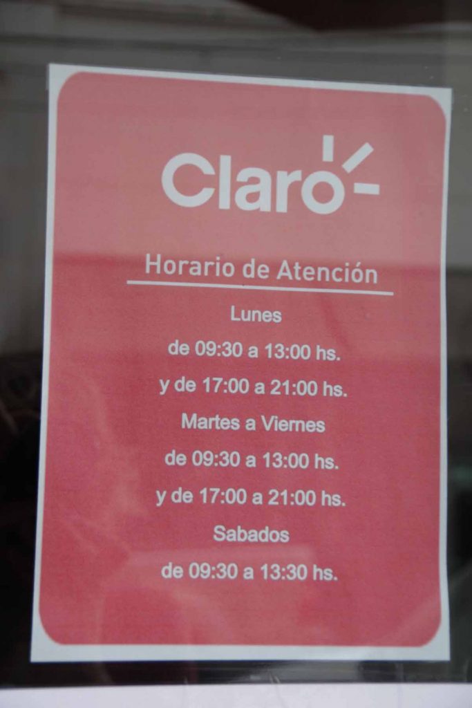
Typical shop hours for many places in town. The afternoon siesta from 1pm to 5pm is longer than other places I’ve been (Colombia might have two or three hours) and takes some planning.
Tilcara
Almost a rest day. Short easy ride today with 425m/1400ft of descent to another touristy town.
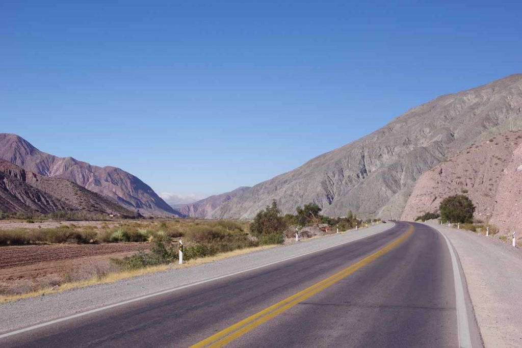
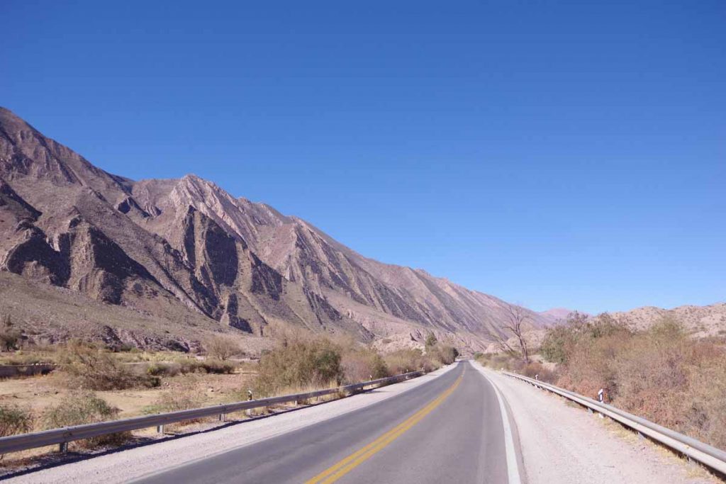
Today I continued to follow a valley downhill with grades at ~1% or occasionally 2% downhill. I crossed two small villages before reaching Tilcara.
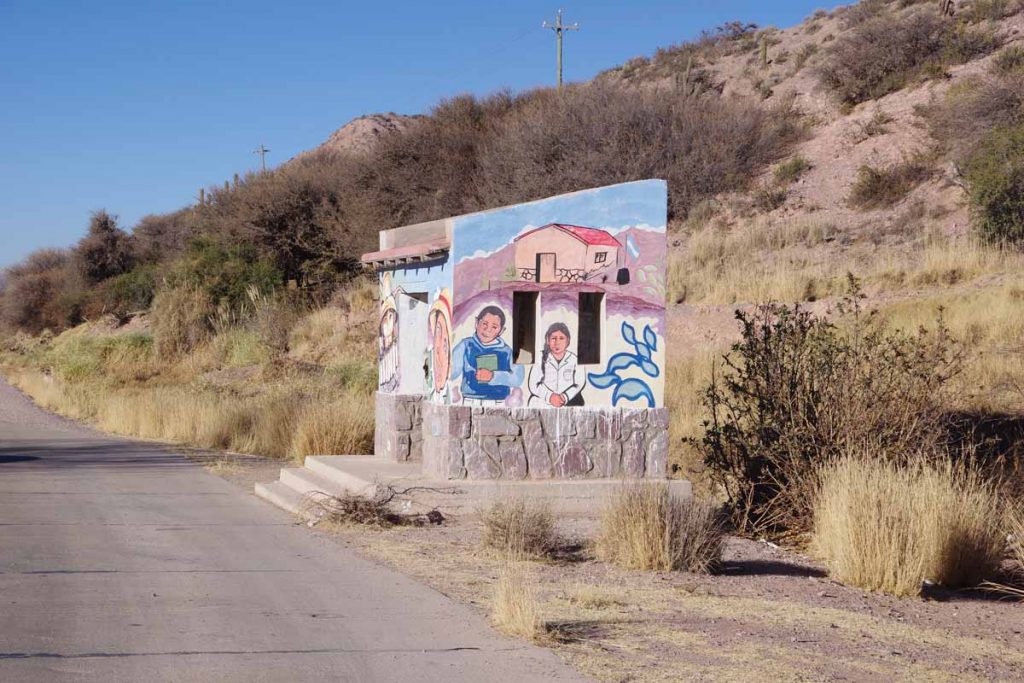
The bus stops are getting fancier mural paintings.
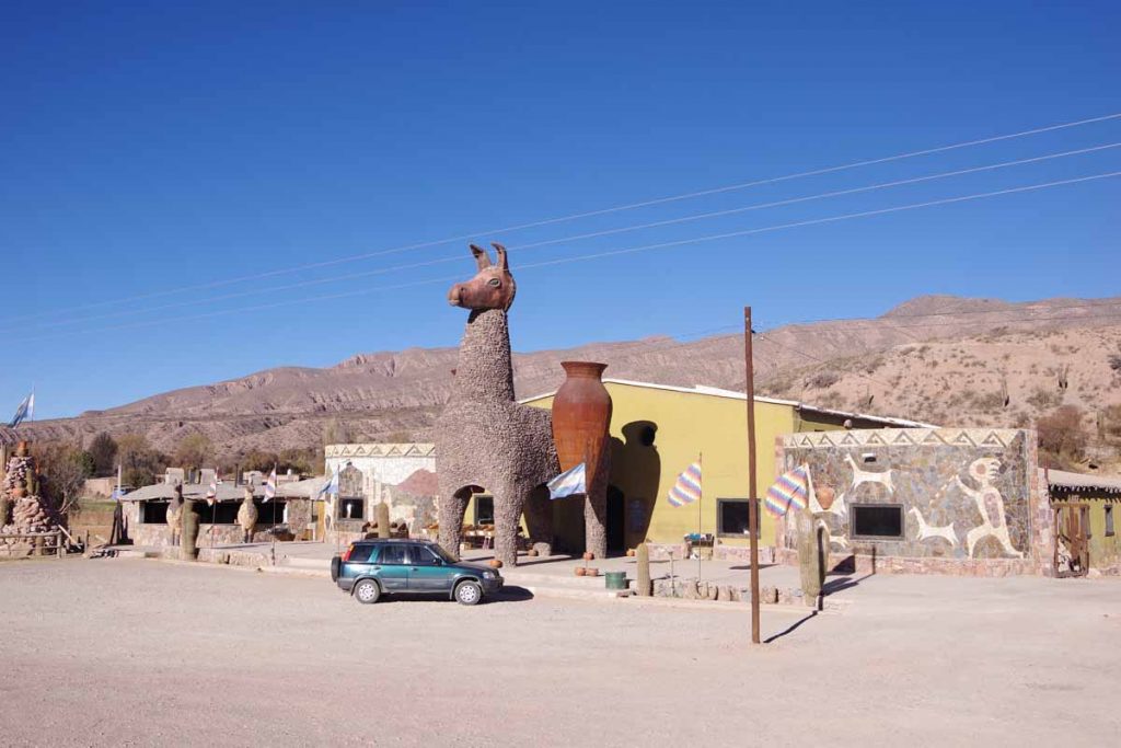
It seems to be a touristy area with places like this selling pottery and other wares. Apparently, the mountain scenery as well as early civilization ruins are the attractions.
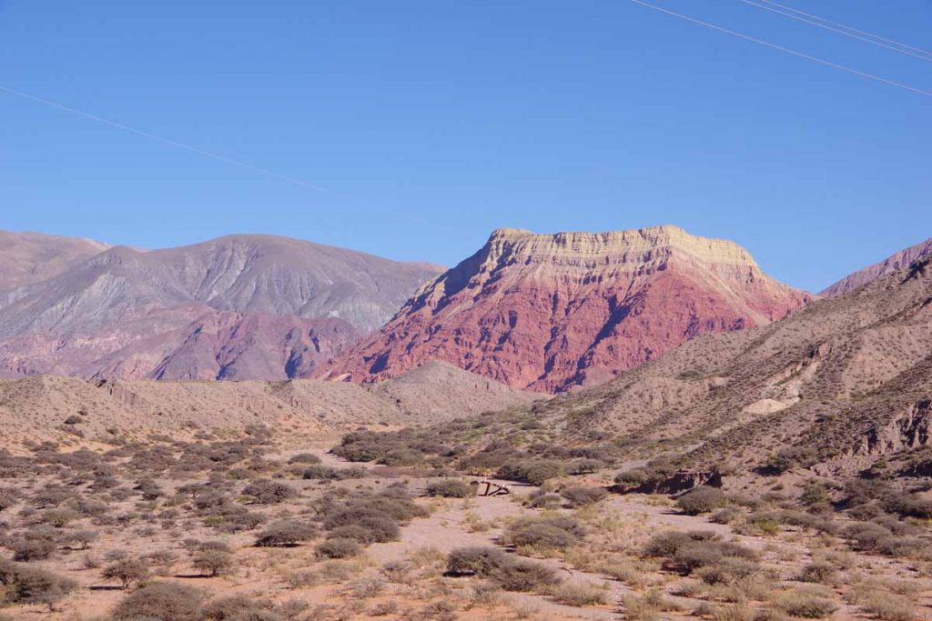
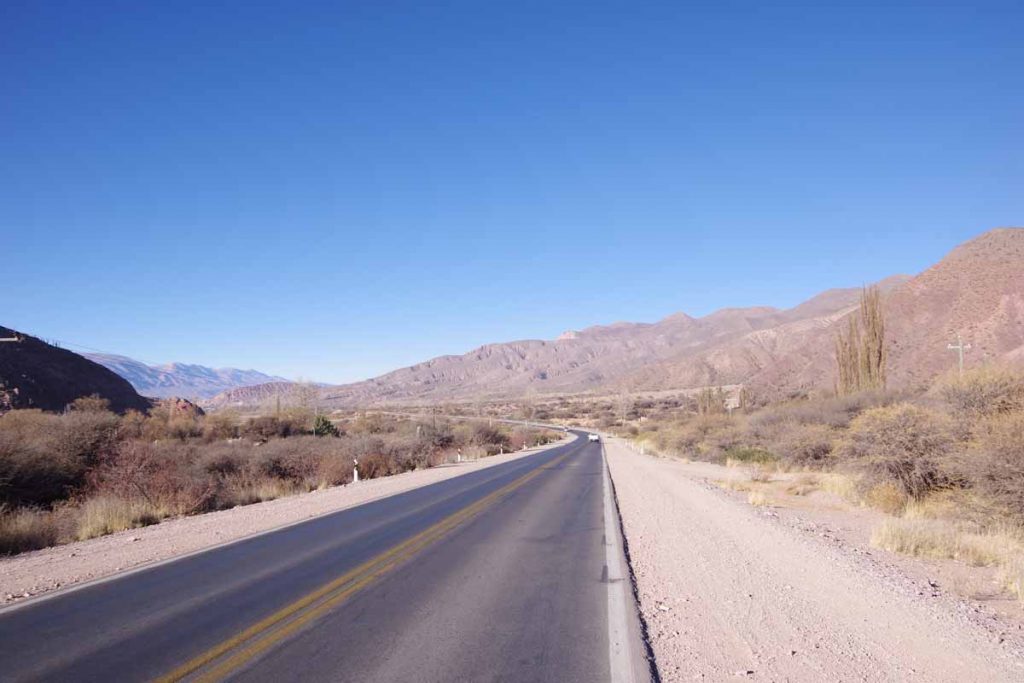
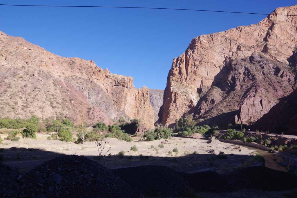
Some of the canyon along the way.
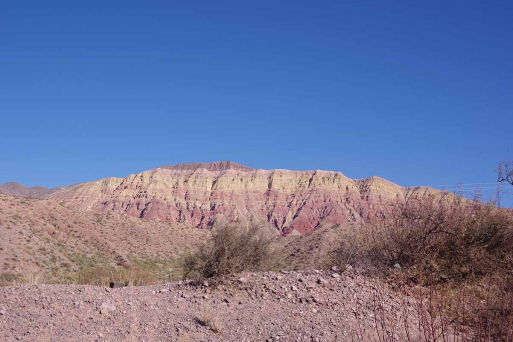
More scenery.
More of the canyon.
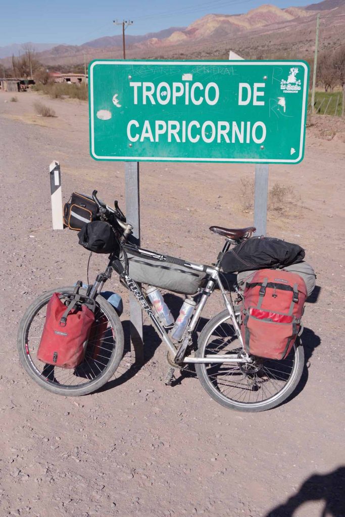
I crossed the Tropic of Capricorn today.
In North America, I usually had the midday sun on my face. I started at 70 degrees north latitude so at solstice the sun was approximately 45 degrees from the horizon. By the time I was in Baja around 23 degrees, it was winter solstice and so still around 45 degrees from the horizon.
In South America, I’ve usually had the midday sun behind. Even in Colombia when I was 10 degrees north, it was April and hence the midday sun was further north. The Tropic of Capricorn is the point where the sun is overhead at (southern hemisphere) summer solstice, and hence after this point, the midday sun will always be north all year long.
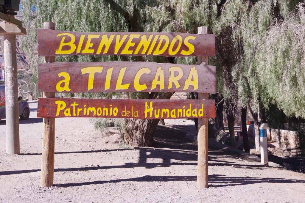
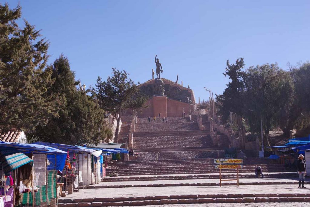
Made it to Tilcara before noon as well as before time the cafes close for the midday siesta. Nice little touristy town to wander through. As the sign indicates, this is a World Heritage location,
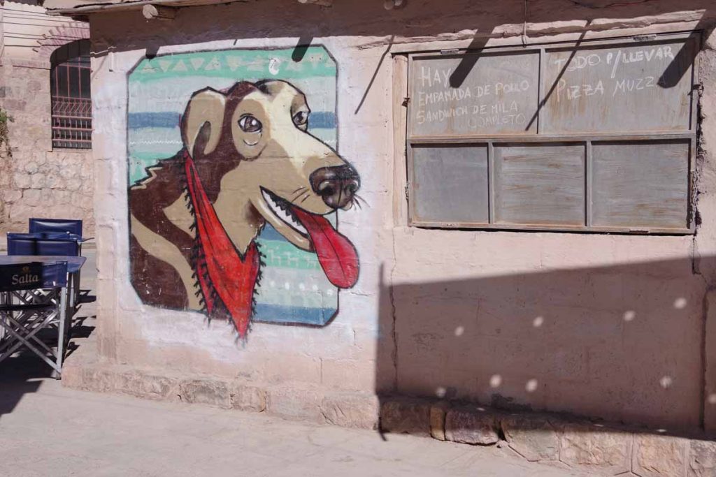
One of the murals in town.
Humahuaca
The town of Abra Pampa came alive after dark. As I walked around it was a big contrast with around 4 pm when I arrived. I saw little shops I hadn’t noticed before, most likely because they were closed but also the night light made them easier to spot.
I started with my standard ritual of watching the temperature on my cycle computer decline from the inside hotel as I got on the road. It got to -4C (25F) before it started back up again.
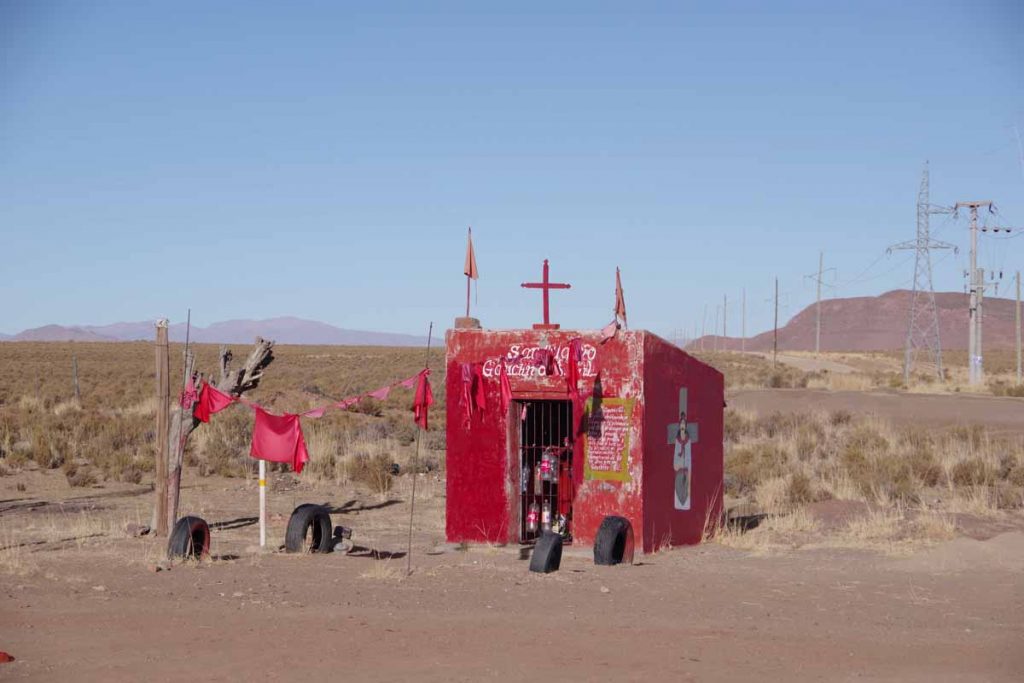
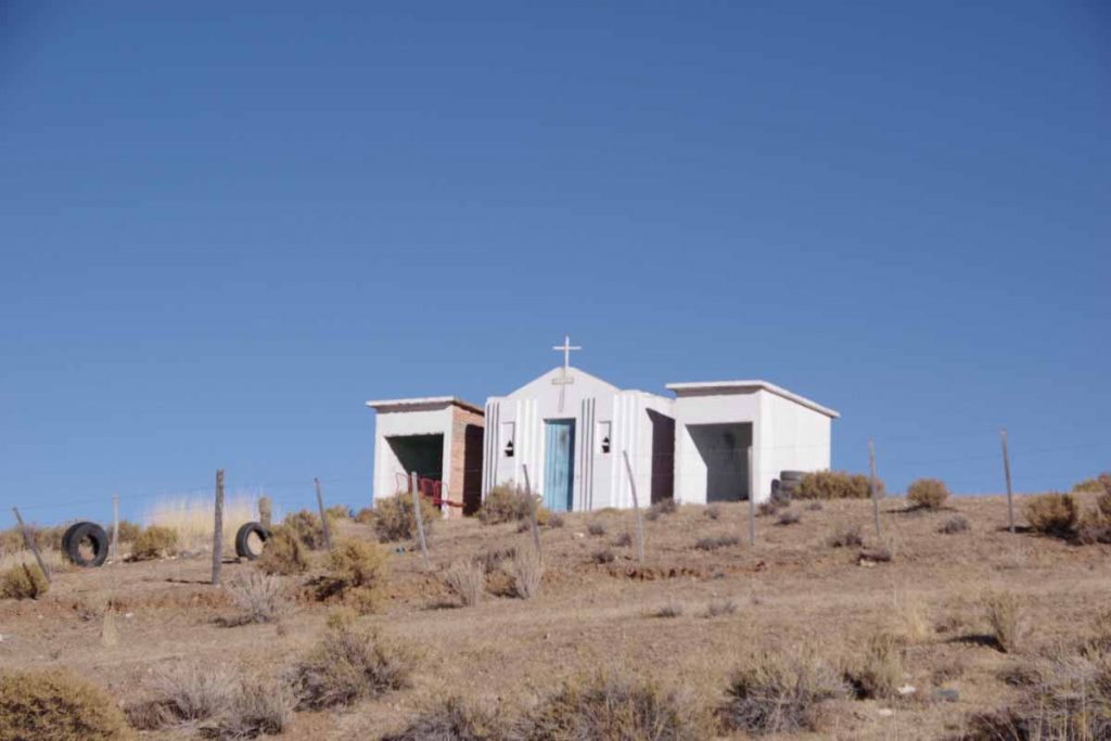
I think the photo above was of a memorial shrine, they are getting fancier here in Argentina.
The first 25 kilometers were a gradual climb and still in wide open spaces.
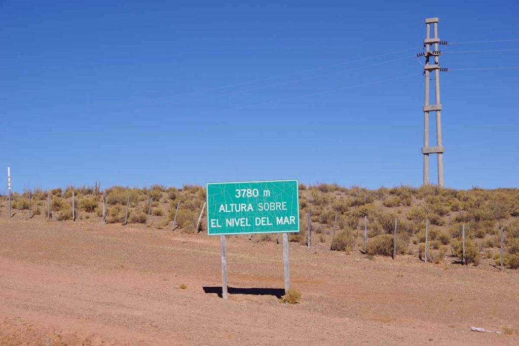
I got to the top at this sign, 3780m/12400ft. When I was there I wasn’t thinking much of the altitude since I had already been as high as 4500m. It wasn’t until later that I thought, “this is higher than Trail Ridge Road, Loveland Pass, etc”. It will also be the high point for a while as this marks start of a gradual descent towards Salta.
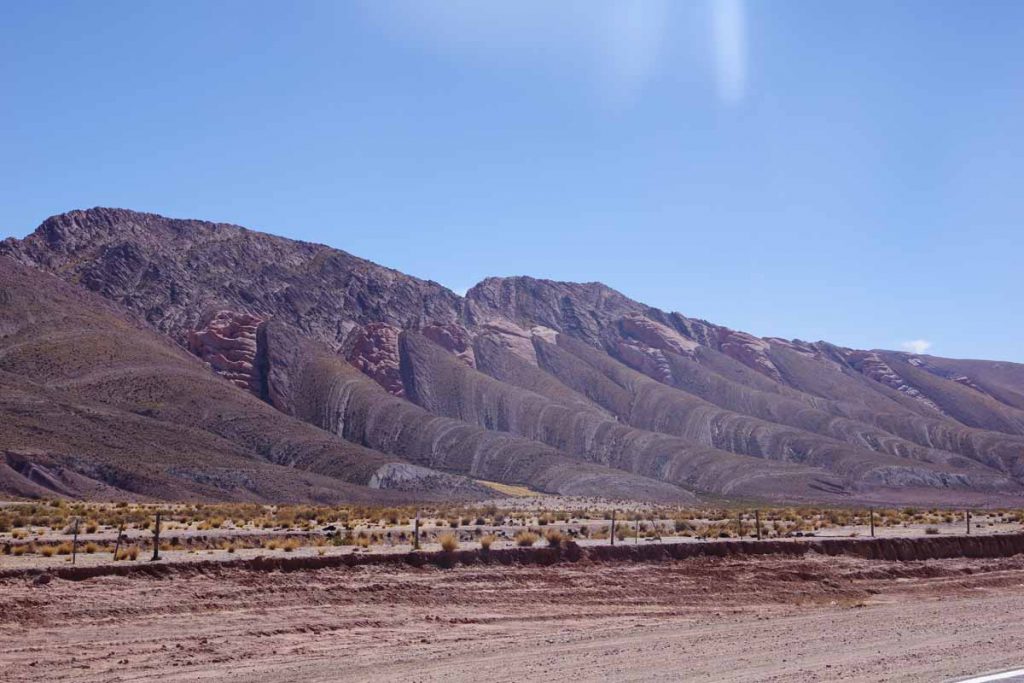
After this I started following river valleys including this one with interesting banded rocks.
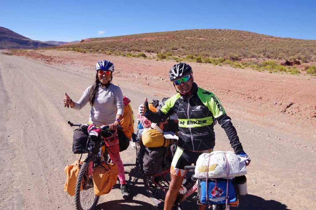
I met these Argentinian cyclists who were on their way to La Quiaca, and almost there.
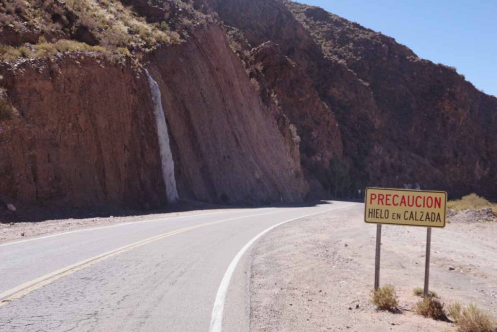
Watch for ice on the road!

Here was a closer view of the frozen waterfall from the previous picture.
I climbed over one valley and then started downhill again.
This is a region with some large saguaro-like cactus.
Without too much trouble, found my way into Humahuaca. This is a touristy town and I spot more tourists walking around as well as a number of different hotels and guest houses. I am also now around 3000m/10,000ft and have started the descent off the altiplano.
Abra Pampa
Big sky country. A lot of riding in wide open spaces without much in way of trees, hills or anything else to block either the view or the wind. The land is mostly fenced and I seem to be on a boundary with some llamas and also some cattle.
Clocks were set ahead by an hour crossing into Argentina on top of the hour that they were set crossing into Bolivia. This means sunrise around 8:00am and sunset around 7:00pm. It was still cold so waiting until 9am before setting off and still had it below freezing the first half hour.
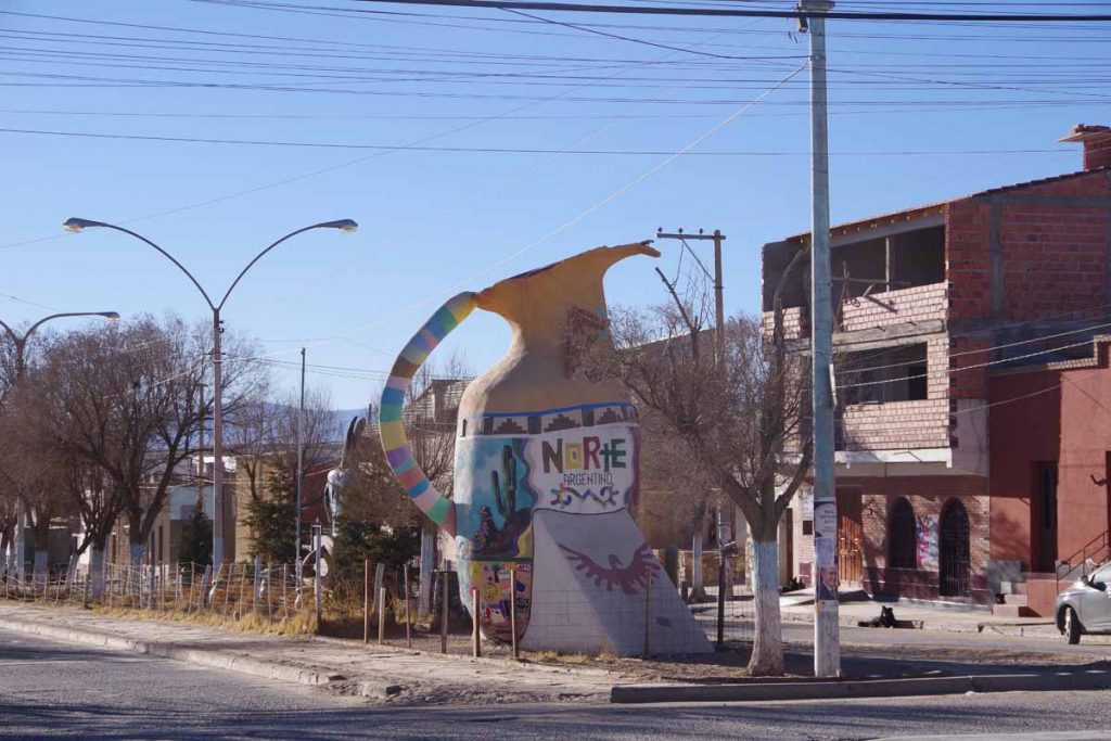
There seems to be a “pottery” theme as I saw these large pitchers leaving La Quiaca.
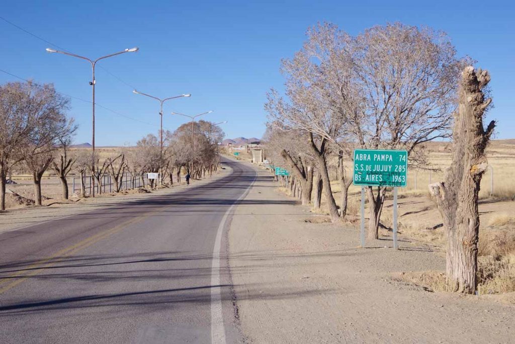
I was on Ruta 9, which is marked for distances to Buenos Aries.
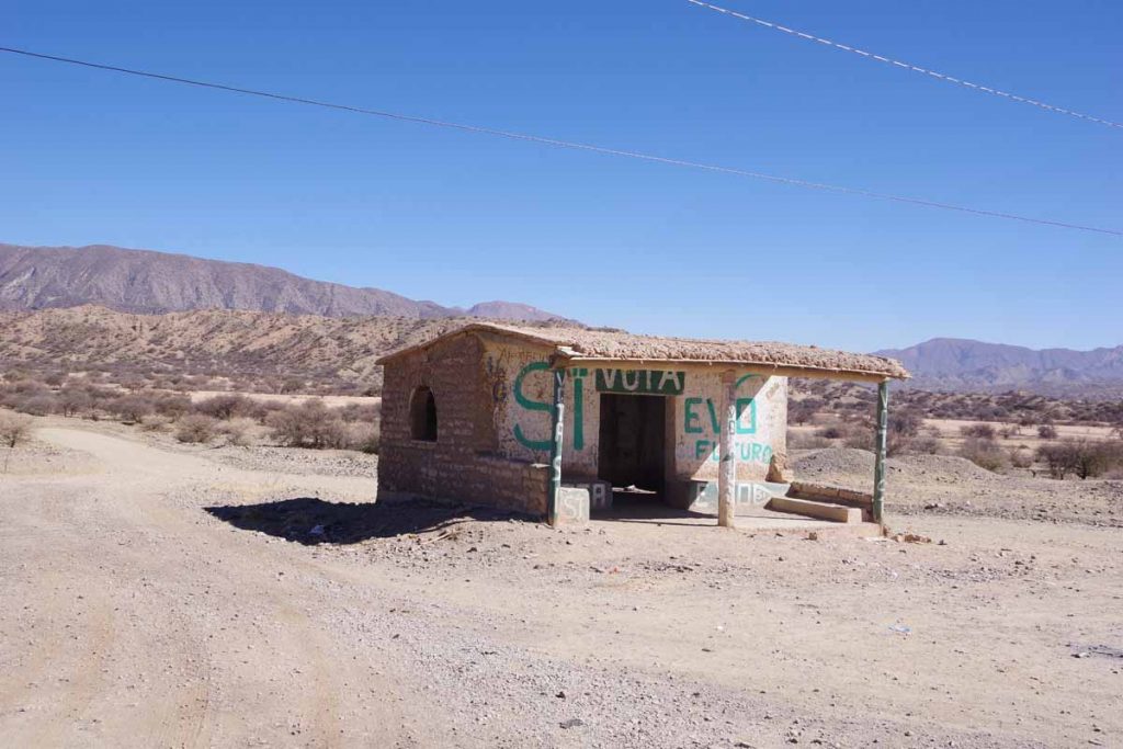
Small memorial on the hill.
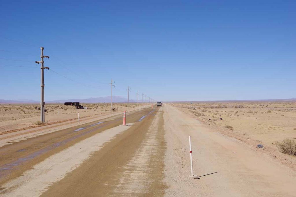
At 15km came across a section of road construction. It was 15 kilometers long and most was reasonable to ride but some shorter sections of washboard road as well.
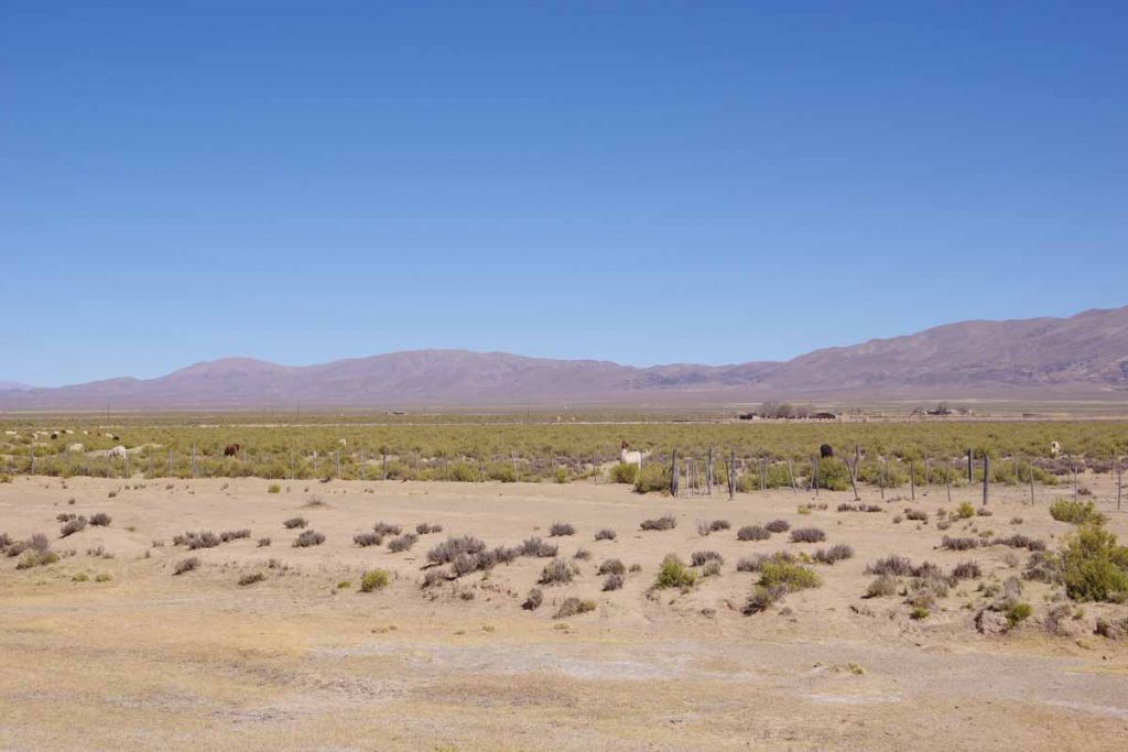
Sections of llamas and cattle in fenced off area.
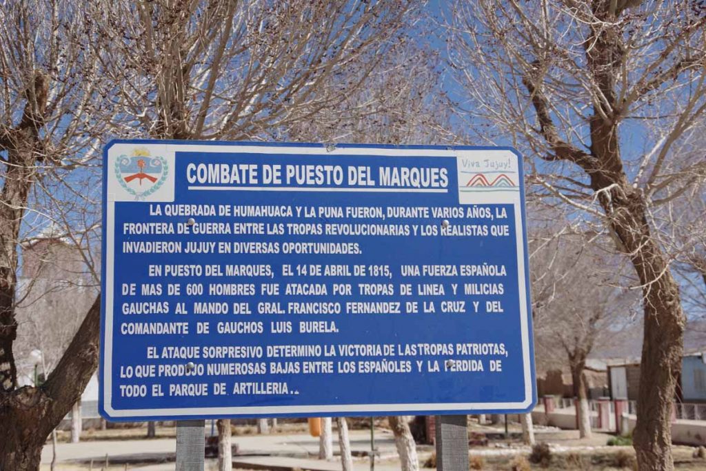
Puesto del Marcos was a small settlement that seems to be site of a battle in 1815. Signs in advance of the settlement warned of a 1200m long urban area. Interestingly enough, I couldn’t find a single open business in this town.
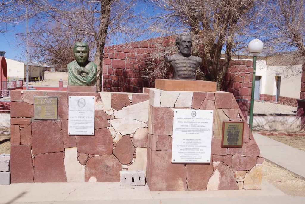
Statues for key players in the battle.
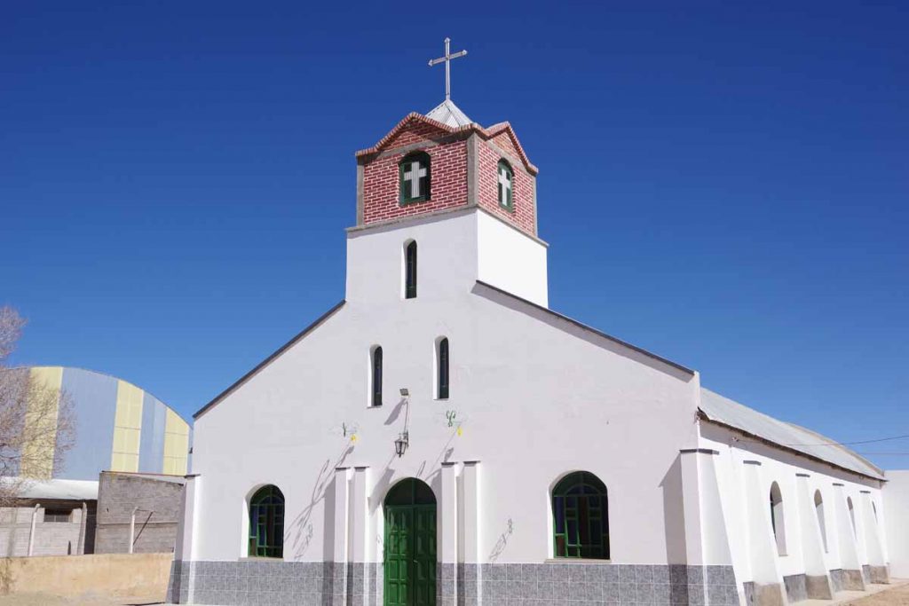
Nearby church.
As I got near 74km, I could see Abra Pampa in the distance.
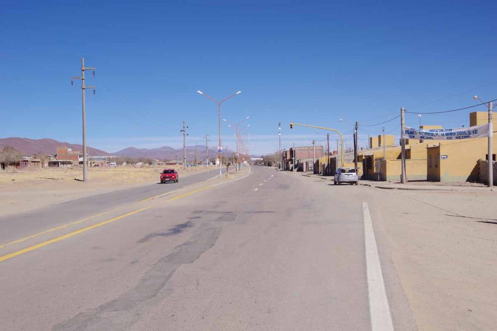
Main street in the town.
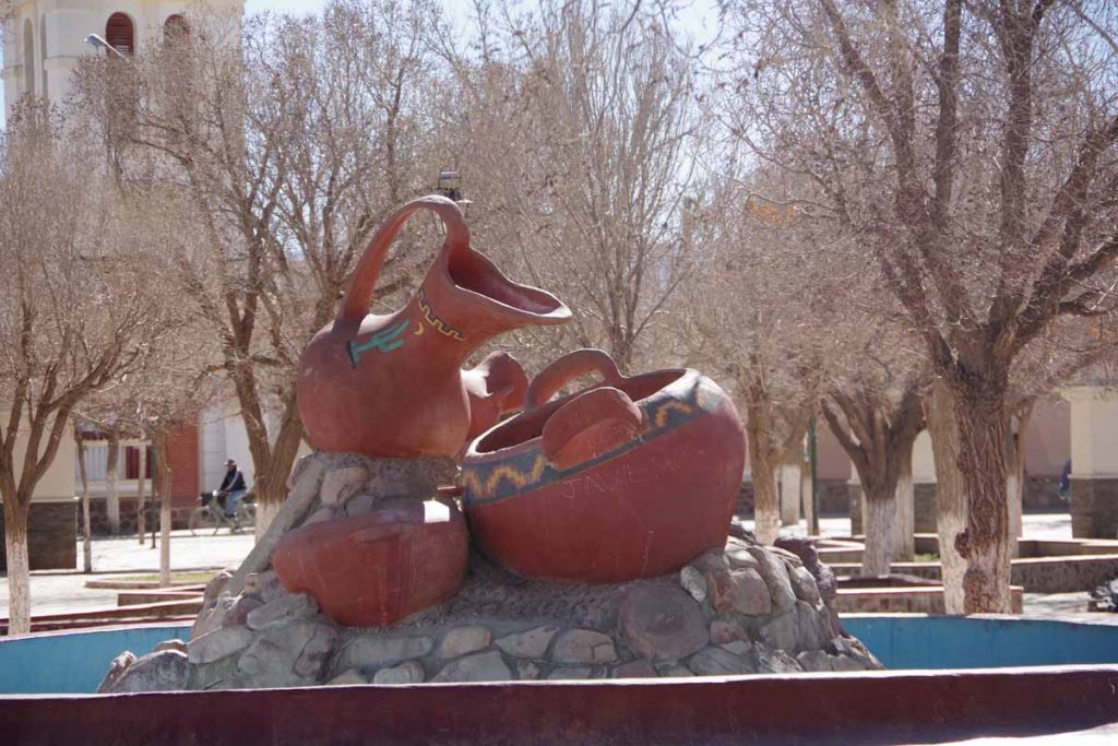
Pottery on the town square.
I found the hotel in town and then wandered to see what I could find to eat. A nearby store had a few things. The restaurant near the bus station was mostly closed, so will likely need to wait until 8 or 9 pm when they seem to open again.
Otherwise a nice riding day as I slowly make my way through the big sky country. I believe I have another ~50km before the road starts to descend further as well as enter warmer regions. It will have been several weeks above 3000m/10,000ft of riding since I left Arequipa.
La Quiaca, Argentina
Made it to Argentina, now I just need to cycle to the other end. This also means I finished crossing Bolivia. Bolivia was challenging but quite beautiful and so far my favorite Latin American country. Colombia is #2 and Honduras is #3, but we’ll see what Argentina (and Chile) brings.
Tupiza sits in a valley and until the sun finally poked over tops of the high ridges, it was cold. I found my way past some road construction and back onto the main road. For the first 30km, the route roughly followed this valley while also crossing half a dozen small settlements. Each had a name and a sign, but there wasn’t much business to be seen.
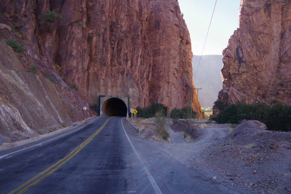
There was a tunnel as well as a small auxiliary tunnel off to the right. I probably could have walked through the baby tunnel, though there wasn’t any traffic and so went along the main road instead.
Tire shop at one of the small towns.
At 31km, I came past this small bus stop. More importantly, this is where the serious part of the climbing began. A climb of 600m/2000ft from 2800m to 3400m and back up a plateau. There were a few places with 9% grades, but overall it was a steady slow climb that never got extremely steep. The sun was out and it was north facing, so it also got warm on the climb.
Overall today I recorded 1235m of climb, so the other parts both before and after this 15km stretch weren’t necessarily flat either.
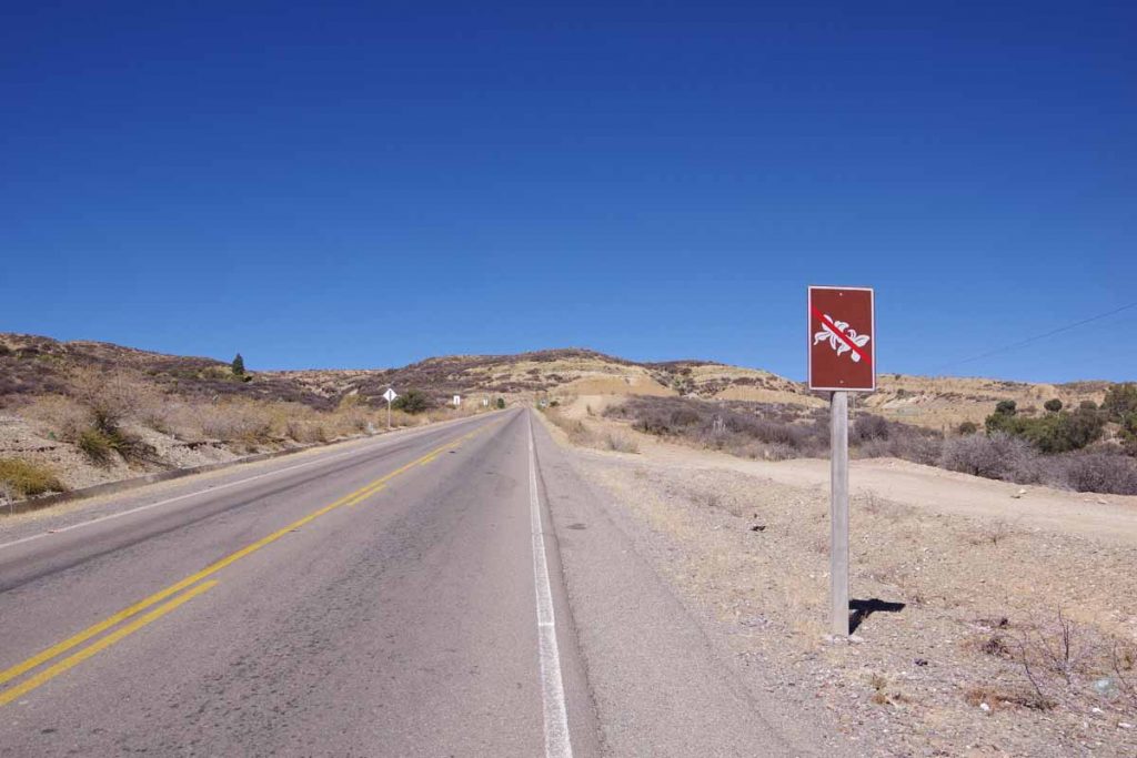
I’m not sure what this sign is prohibiting.
At the top it became more open, though still some rolling hills.
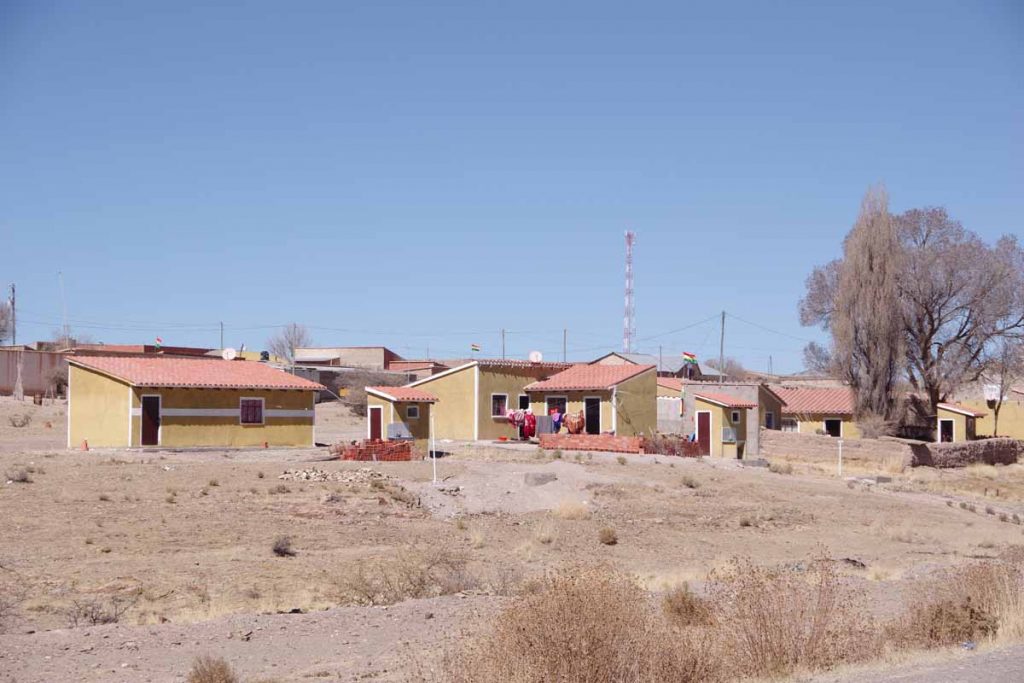
Little town of Mojo, most all of it.
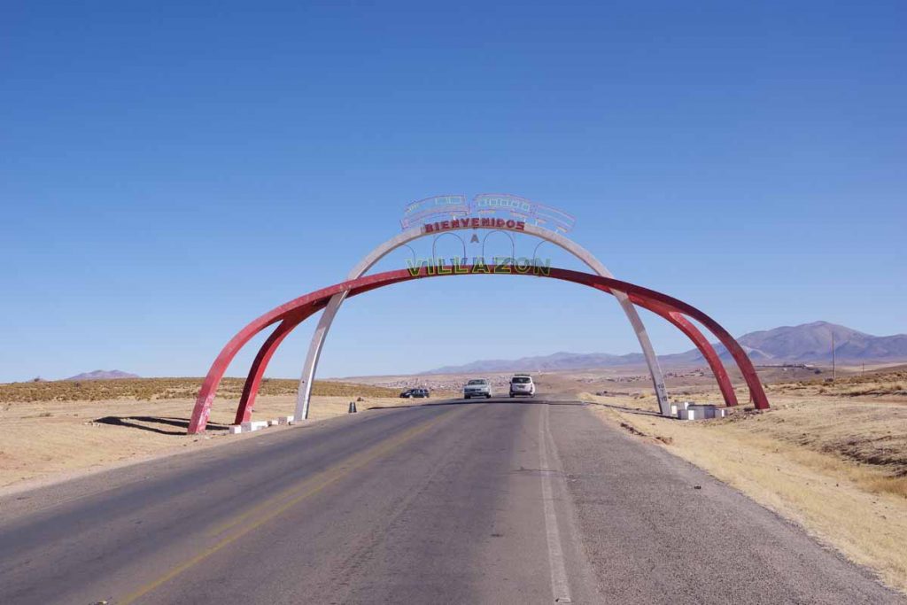
Here was the entrance arch to Villazon. This was border town on the Bolivian side. I figured I would stop if I found an inviting hotel and otherwise continue to clear the border with Argentina.
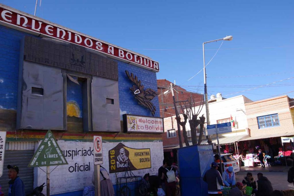
The last little bit of Bolivia. I exchanged my Bolivianos here for Argentina Pesos.
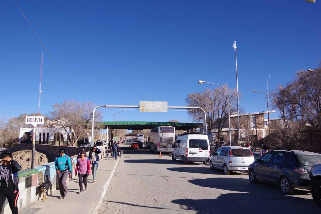
Came across the little bridge and then to the immigration offices. Getting stamps in my passport was surprisingly quick. Stepped to the window from Bolivia and got stamped out. Stepped over to the Argenina side and also stamped in. The stamp gives me 90 days in the country. That should be sufficient to either reach Puerto Montt (Chile) or perhaps will take a short break to fly back to the US somewhere along the way and refresh on some essential items like tires. Will see.
The most annoying thing about the Argentina customs came just as I was about to leave. A customs officer saw my bike and decided all the panniers needed to come off and be sent through a metal scanner. This took a bit since I have things tied, partially for theft but more importantly so my heel doesn’t knock the rear panniers off and into the spokes. So a slow dissassembly and then put everything back together.
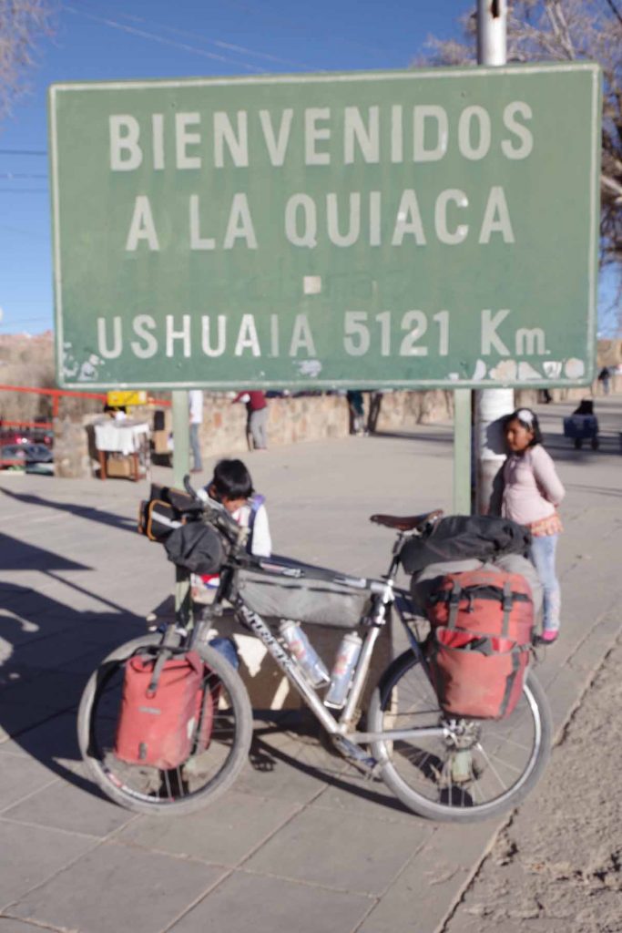
There was a sign here for Ushuaia! First one I’ve seen.
Made my way into town and found a reasonable hotel (wifi extremely slow). I tried my normal arrival routine of finding a restaurant to replenish. Oops, five restaurants all closed – they don’t open until later in the evening. Will have to see how I adjust the routine. I did find a nice supermarket though (hard to find in Bolivia) and so got food there instead.
Overall, I enjoyed my trip through Bolivia. It was sometimes tough riding and often cold nights. However, the scenery was spectacular and the roads before Uyuni were nice. I’ve got my 10 year Bolivia visa in my passport and seems like an interesting place to come back and explore further.
Route from here to Salta will stay high for a while and then descend. Multiple small towns, though expect wifi might be a bit of hit and miss. Otherwise, nice to already be in Argentina!