An easier and shorter ride today with time to prepare for tougher ride tomorrow.
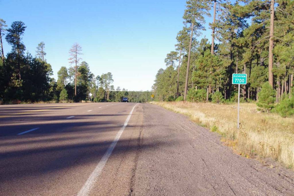
Started out the day at 7500ft on top of the Mogollon Rim. It was perhaps 50F so still not very cold. After a short while, I came to local high point of 7700ft and at seven miles I stopped at the Mogollon Rim visitor center.
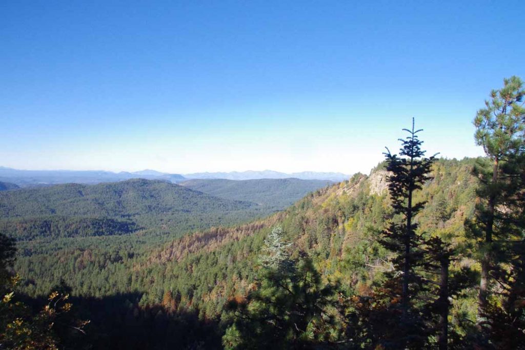
Nice views from here looking down over the escarpment.
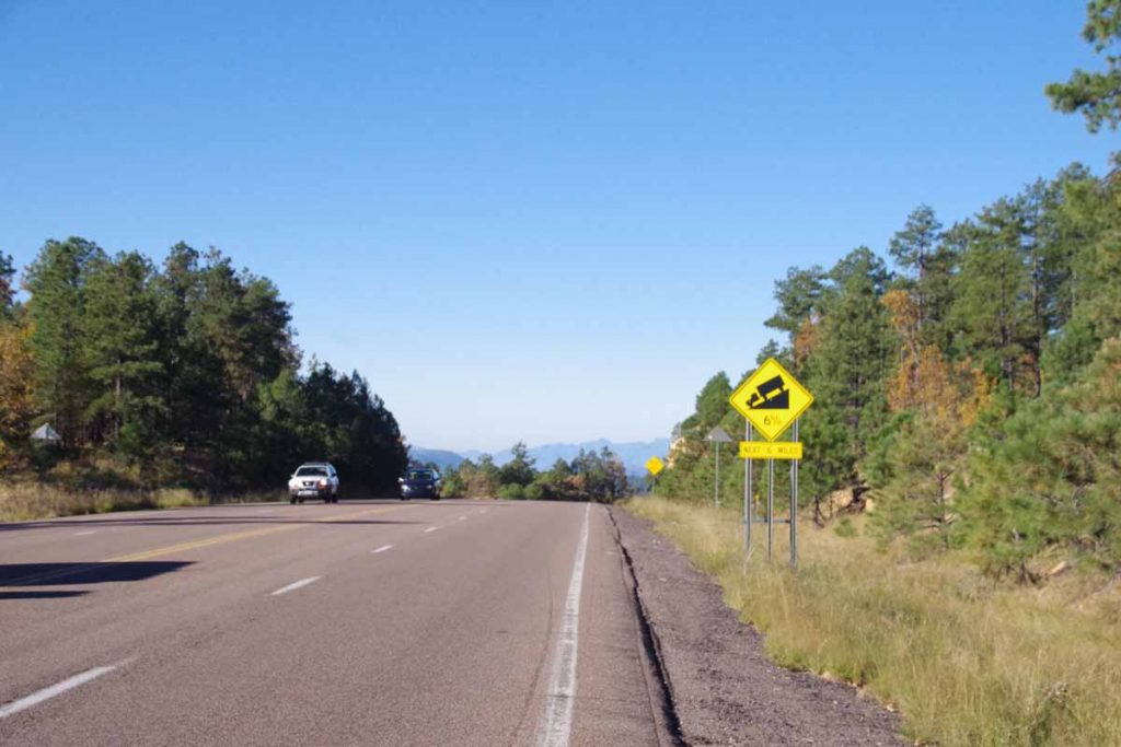
Followed by perhaps five miles of steeper descent to lose ~1500ft of elevation.
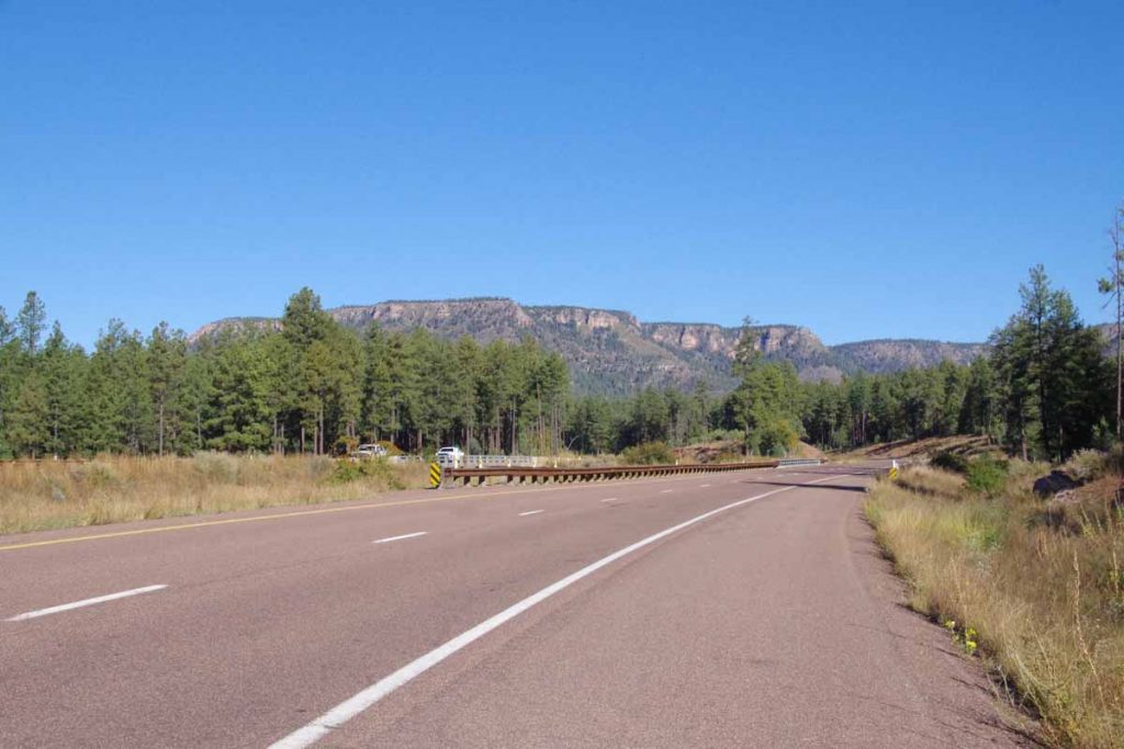
I now saw the escarpment from down below. As shown in photos there was wide shoulder as part of a four-lane divided highway.
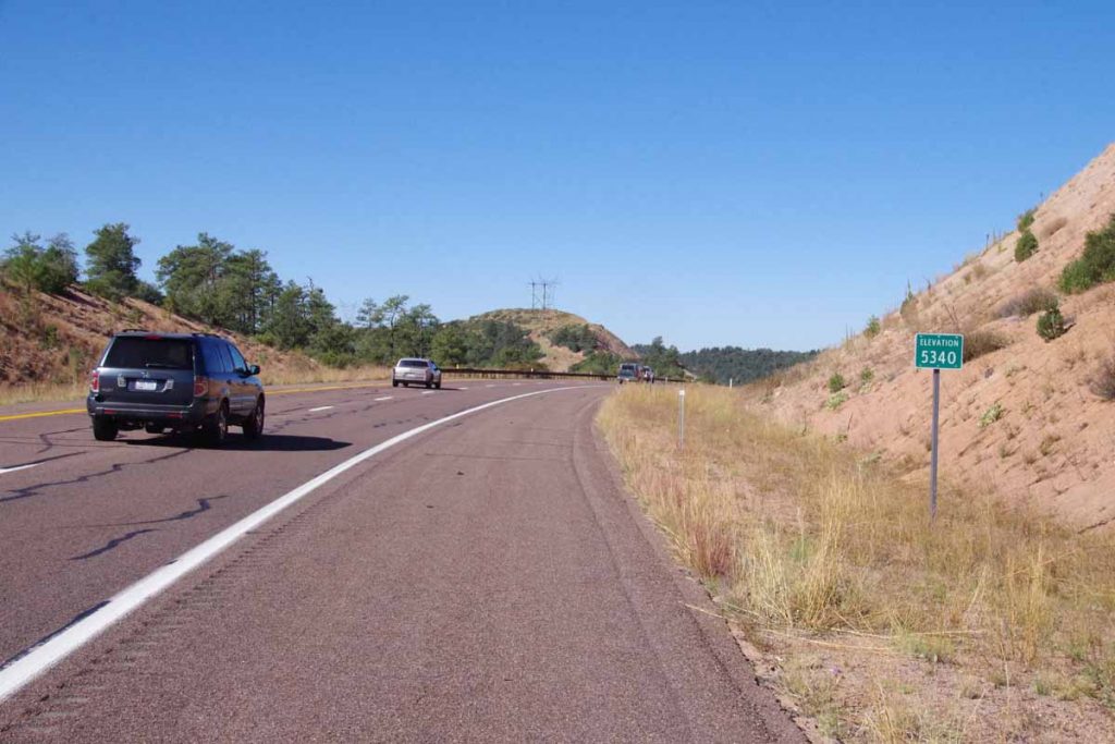
This road went up and over a few smaller hills but mostly progressively lower.
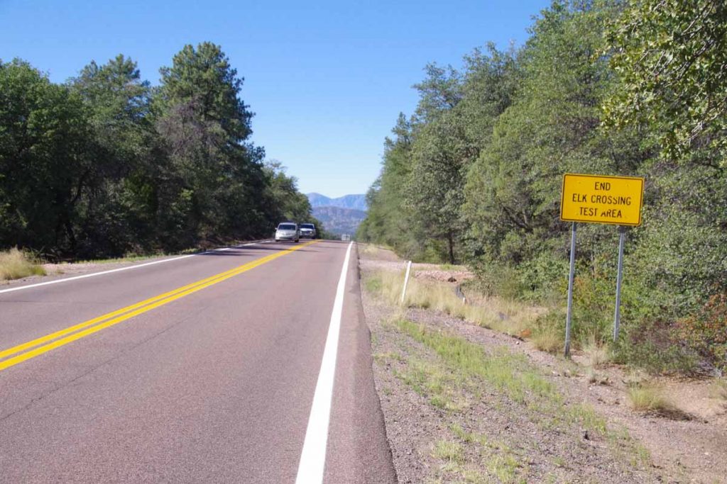
Coming into town of Star Valley, this road then narrowed to a two-lane highway without much shoulder at all. Still quite a bit of traffic and with exception of one truck fairly well behaved. It also became a bit warmer as I reached town of Payson. Not quite sure what an “Elk crossing test area” means.
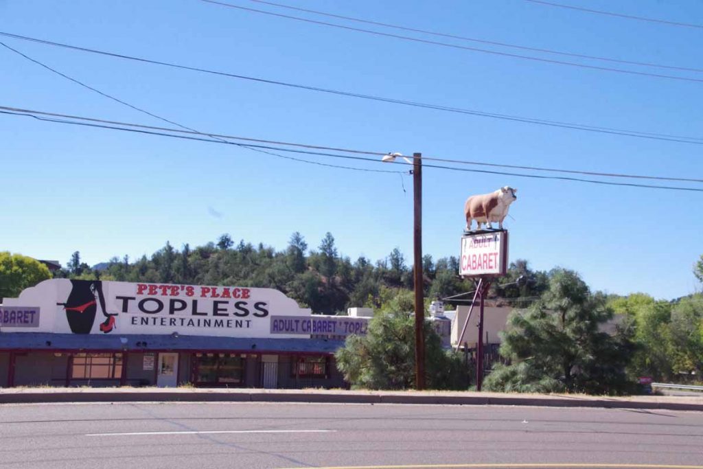
Still outside Payson, I came past this establishment which had me wonder how a steer was somehow the symbol for a topless entertainment complex – seemed a bit strange to me.
I climbed up and over the last hills and overall today was a descent from ~7500ft down to ~5000ft and a corresponding increase in temperature. As I’ve looked at Google Maps it tells me there is a further ~3500ft of net descent to the Phoenix metro area with a ride of -8000ft and +5000ft on my proposed route tomorrow. While that is a huge amount of downhill, it also is a considerable amount of uphill climbing on the way as well – so nice to have today be a bit easier. Also notice temperatures in Phoenix warmer than average (mid 90s vs. average of low 90s) so will lose those cooler temperatures that have come from staying higher as well.
What will be nice is rejoining the Adventure Cycling route – which actually joins the last bit of US 87 into Phoenix area. That route was changed from when I rode it in 2001. At that time, it went directly on US 60 to Globe, but I believe folks complained this route had a dangerous tunnel, no shoulders and a lot of truck traffic.