↓
 

A bicycle ride across the Americas

from Deadhorse (SCC) to Ushuaia (USH)

  • Home
  • Plan
  • Blog
  • Photos
  • FAQ
    • Why?
    • Where?
    • What next?
  • Map
  • Equipment
  • Calendar
  • Countries
    • USA
      • Alaska
      • Montana
      • Wyoming
      • Colorado
      • New Mexico
      • Arizona
      • California
      • Texas
    • Canada
    • Mexico
    • Guatemala
    • Honduras
    • Nicaragua
    • Costa Rica
    • Panama
    • Colombia
    • Ecuador
    • Peru
    • Bolivia
    • Chile
    • Argentina
  • Weather
  • Links
  • Contact
Home→Tags descent

Tag Archives: descent

Outskirts of San Diego

A bicycle ride across the Americas Posted on 2016-10-21 by mev2016-10-21

imgp4432
“Where are you headed?”, “San Diego”. It is a conversation I have a few times a day. However, folks aren’t looking as strangely as before. I am now four or five miles from downtown San Diego and will go there this weekend to make an official finish before taking the train to Portland on Monday.

Today had a surprising high range of temperatures. My cycle computer told me 5C (41F) starting from Pine Valley. Middle of the afternoon it peaked a little over 37C (99F) so a range of 50+ degrees Fahrenheit or 30+ degrees Celsius. I had ridden most of the route on Christmas rides though the Adventure Cycling route also was slightly different through Lakeside.
imgp4433
I climbed up the first hill from Pine Valley and in a very short time, the temperature jumped more than 10F (6C). No longer in the cold valley bottom. From here it was mostly downhill.
imgp4434
At eight miles there was a 3.5 mile ride on I-8 again. After this it was frontage roads through Alpine. By now it was over 20C. My rear tire felt funny and then noticed it was slowly going flat. Stopped to patch and noticed I had two patch kits where the glue had dried out including one where I had never even opened the glue. Fortunately, had a spare tube and swapped it in.
imgp4436
San Diego was visible in the distance (this photo was actually from the interstate).

Through Lakeside it started getting hot.
imgp4439
Leaving Lakeside was a few miles of Father Junipera Serra trail. After this I came to larger roads (Mission Gorge, Friar) and past shopping centers before finding my way in hotel on outskirts of San Diego.

Now looking forward to a weekend in San Diego. Also time to finish out phase 2 and start planning forward. I’ve come a long way (5000+ miles, 8000+ kilometers, 4 months) but there is still a lot more both from standpoint of challenge (Latin America vs US/Canada) and also distance (10,000+ miles to go).

Posted in California, USA | Tagged descent, flat

Fountain Hills, downhill part 2

A bicycle ride across the Americas Posted on 2016-10-12 by mev2016-10-12

Made it! 3553ft of climbing and 6677ft of descent and I’m on the far outskirts of the Phoenix metro area.
imgp4246
I anticipated a tough day and it was actually not as difficult as I expected. Two things that probably also helped is there was no wind and the warmer parts of the day I had some high thin clouds so it really didn’t get much above 90F (32C). I had enough water but if one is riding this in hotter temperatures makes sense to bring even more as there weren’t places to refill.

I started early not far from this “Indian bread” truck. Unlike a lot of other places, “Indian” here means native American, not south-Asian.

The route was pretty much a four lane divide highway all day. The first four miles had no shoulder but after that good shoulders all day long.
imgp4248
I started close to 5000ft and at the five mile mark started a good descent that eventually ended up about 3000ft not far from a place known as Rye. Rye didn’t seem to have any services other than ATV rentals. After this a lot of up and down between the 12 mile mark and the 30 mile mark. Up to 3800ft, down to 3400ft, up to 4500ft, etc. I’m glad I had started not long after sunrise as this meant the climbs weren’t yet too hot.
imgp4250
Above is a representative photo of one of those descents followed by climbs.
imgp4251
The road topped out a little above 4500ft as I crossed into Maricopa County. After this a good descent into Sunflower and over the next climb, I saw my first saguaro cacti.
imgp4252
I went from no saguaro to them being everywhere.
aimgp4253
Look up on the hill and you can see them all the way up.
imgp4254
There were still some good solid climbs and descents and this one at 45 miles I walked a portion. It wasn’t too steep to ride but was also nice to exercise different muscles for a change. After topping out at 2400ft, the last 12 miles were mostly a gentle downhill. Certainly a nice change as riding was easy and it wasn’t so steep that I needed to worry about braking.

Got in not too late into Fountain Hills. Some of my route today was on the Adventure Cycling Southern Tier route and now time to sort out how I follow this route through the Phoenix metro area and then further west.

Posted in Arizona, USA | Tagged descent, saguaro

Payson, downhill part 1

A bicycle ride across the Americas Posted on 2016-10-11 by mev2016-10-11

An easier and shorter ride today with time to prepare for tougher ride tomorrow.
imgp4237
Started out the day at 7500ft on top of the Mogollon Rim. It was perhaps 50F so still not very cold. After a short while, I came to local high point of 7700ft and at seven miles I stopped at the Mogollon Rim visitor center.
imgp4238
Nice views from here looking down over the escarpment.
aimgp4241
Followed by perhaps five miles of steeper descent to lose ~1500ft of elevation.
imgp4242
I now saw the escarpment from down below. As shown in photos there was wide shoulder as part of a four-lane divided highway.
imgp4243
This road went up and over a few smaller hills but mostly progressively lower.
imgp4244
Coming into town of Star Valley, this road then narrowed to a two-lane highway without much shoulder at all. Still quite a bit of traffic and with exception of one truck fairly well behaved. It also became a bit warmer as I reached town of Payson. Not quite sure what an “Elk crossing test area” means.
imgp4245
Still outside Payson, I came past this establishment which had me wonder how a steer was somehow the symbol for a topless entertainment complex – seemed a bit strange to me.

I climbed up and over the last hills and overall today was a descent from ~7500ft down to ~5000ft and a corresponding increase in temperature. As I’ve looked at Google Maps it tells me there is a further ~3500ft of net descent to the Phoenix metro area with a ride of -8000ft and +5000ft on my proposed route tomorrow. While that is a huge amount of downhill, it also is a considerable amount of uphill climbing on the way as well – so nice to have today be a bit easier. Also notice temperatures in Phoenix warmer than average (mid 90s vs. average of low 90s) so will lose those cooler temperatures that have come from staying higher as well.

What will be nice is rejoining the Adventure Cycling route – which actually joins the last bit of US 87 into Phoenix area. That route was changed from when I rode it in 2001. At that time, it went directly on US 60 to Globe, but I believe folks complained this route had a dangerous tunnel, no shoulders and a lot of truck traffic.

Posted in Arizona, USA | Tagged descent, escarpment

Banff, Icefields Parkway

A bicycle ride across the Americas Posted on 2016-08-17 by mev2016-08-18

aIMGP3438
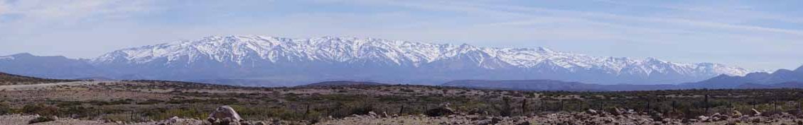
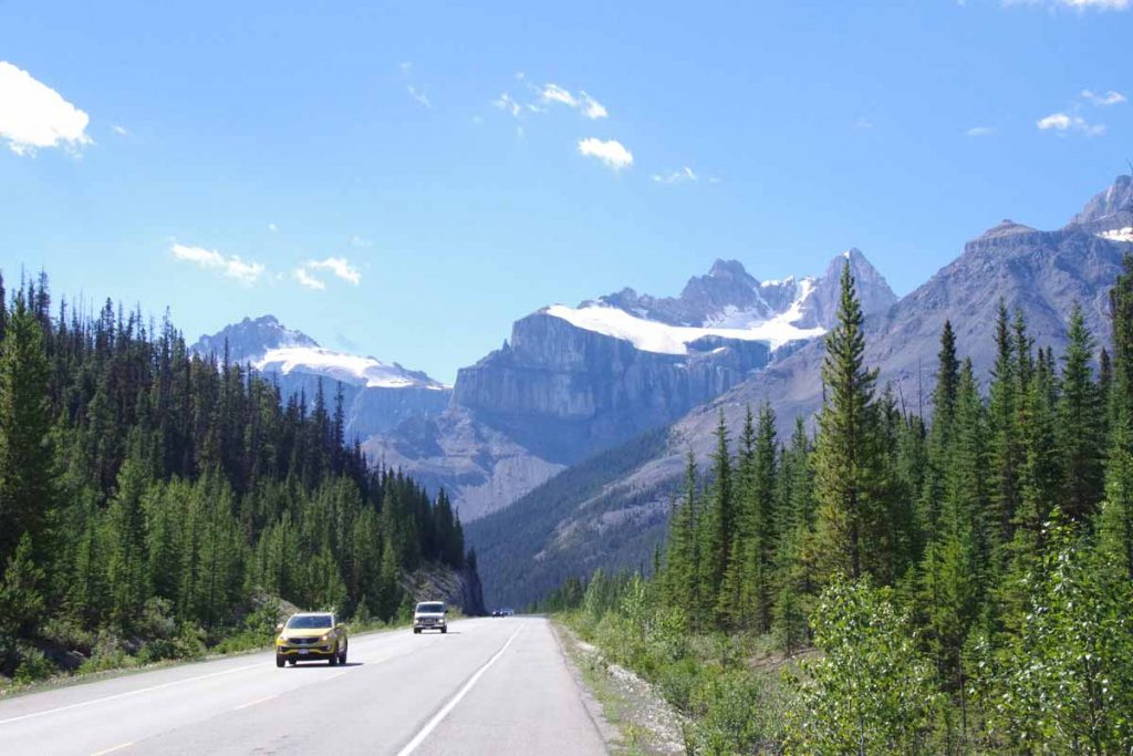
The Icefields Parkway is a popular and scenic route from Jasper to Lake Louise. Commercial trucks not allowed and hence lots of tourists in RVs, cars and buses. Also a fair number of bicycles both supported (i.e. unloaded) and unsupported. I had made reservations for each night and hence knew I had to climb 1000m+ the first day. Overall it was a great three day ride – with many photos to show below.
Day One
IMGP3396
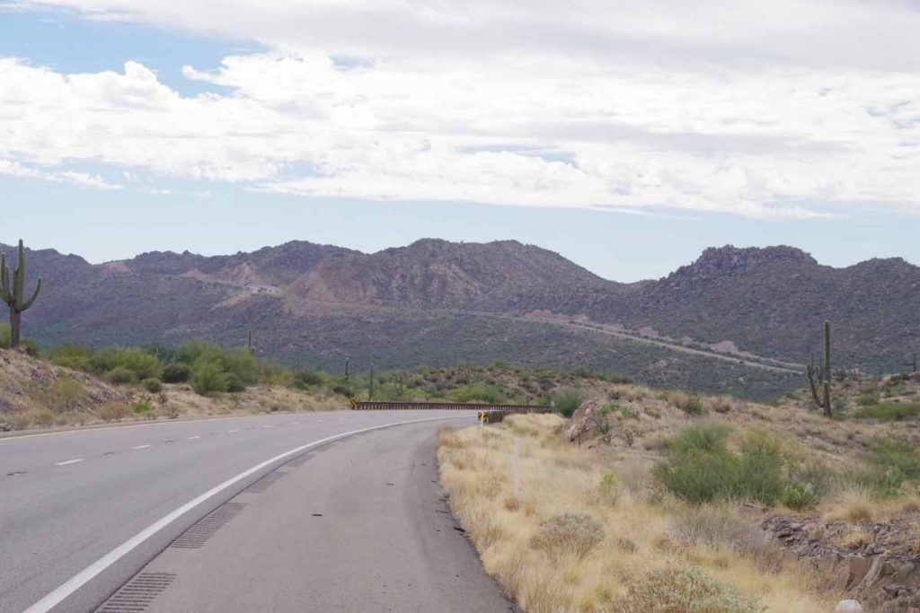
It was 4C (39F) starting out but quickly warmed up during the day. The route initially started along the river and was flat, but at 5km after crossing a glacier stream started to climb.
IMGP3398
Near the top was a beautiful lake, perfect for early morning reflections.
IMGP3401
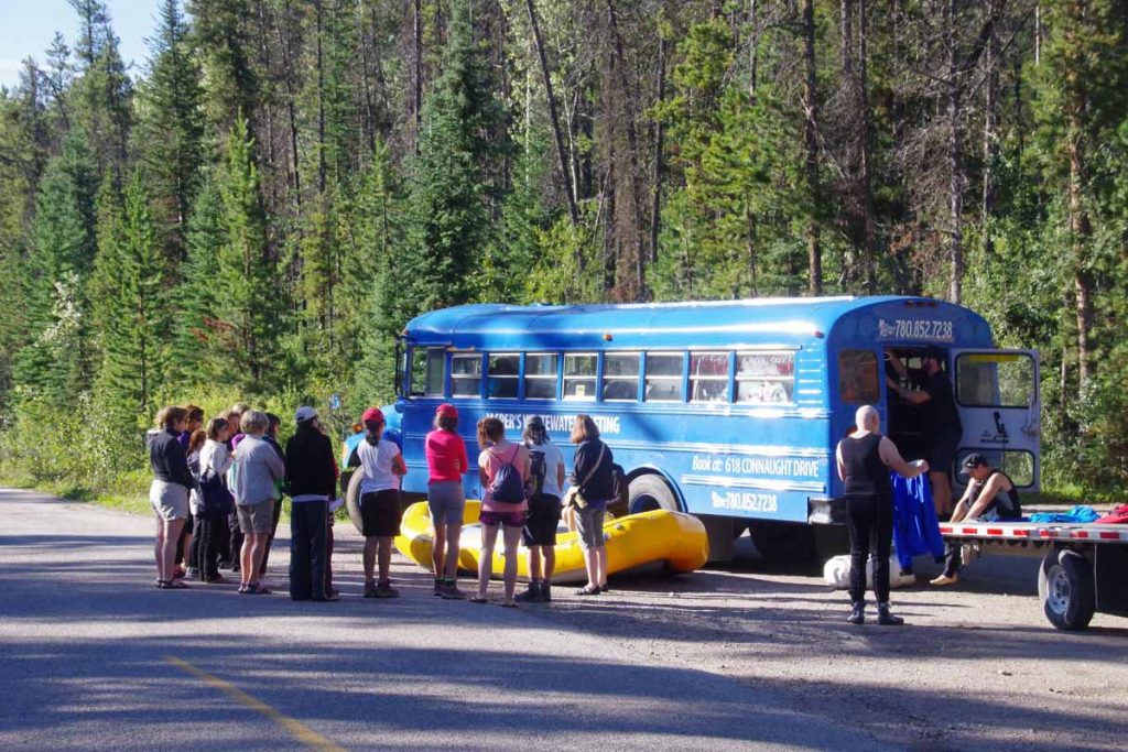
As I neared the end of 93A, I came on this group of rafters getting their pre-trip briefing. At 15km was junction with Icefields Parkway as well as Athabasca Falls.
IMGP3403
IMGP3406
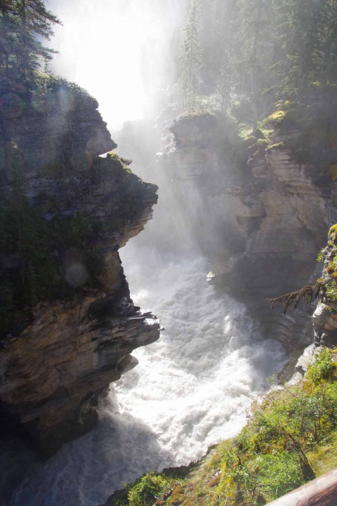
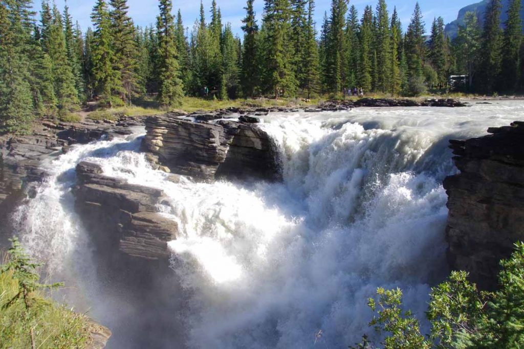
The falls didn’t drop far (12m, 40ft) but had lots of fury to them.
IMGP3409
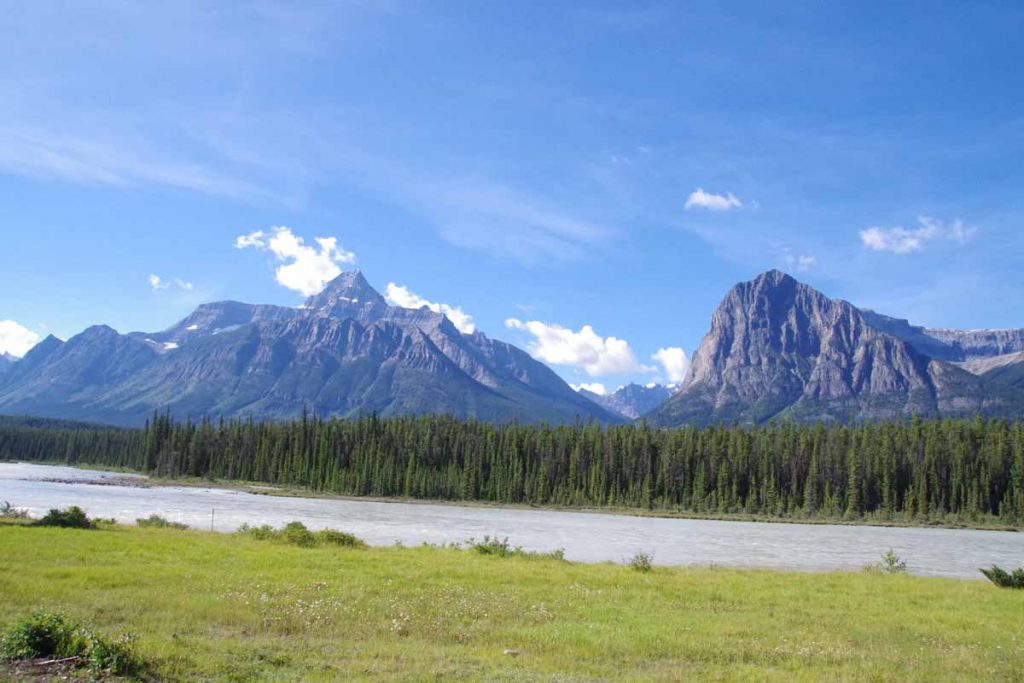
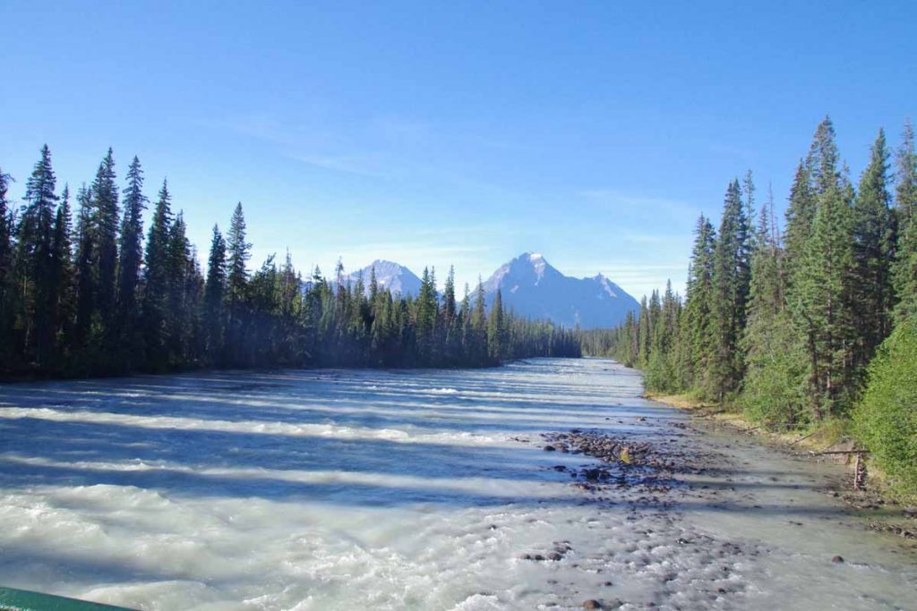
After this followed the river slowly uphill with scenery such as photo above. At 40km was Sunwapta Falls and a lodge here and chance to get lunch.
IMGP3412
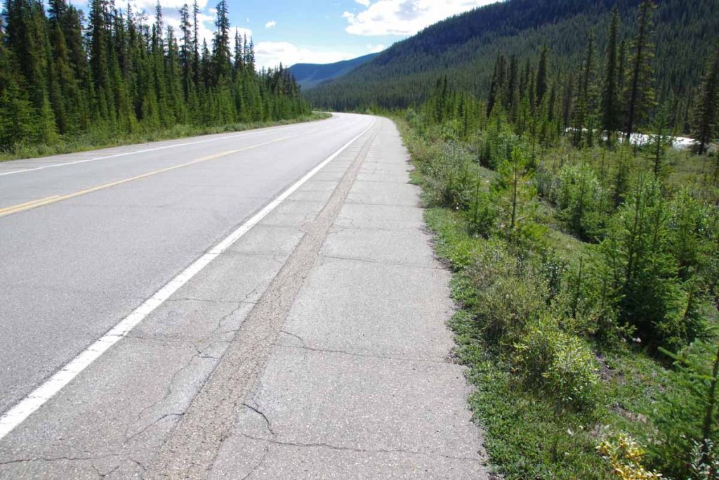
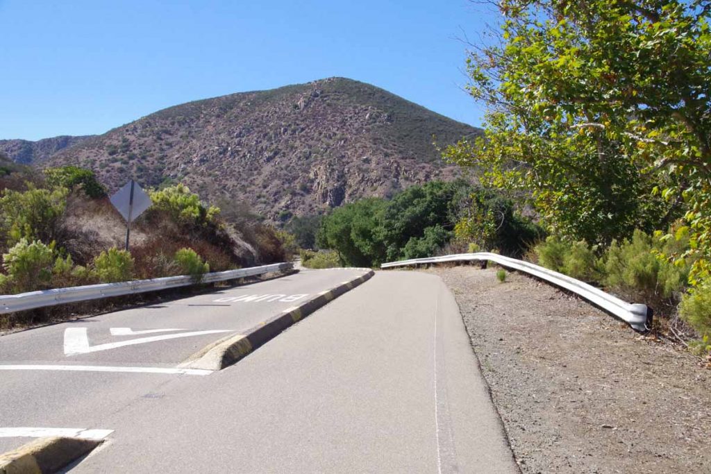
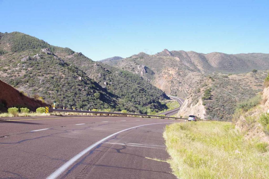
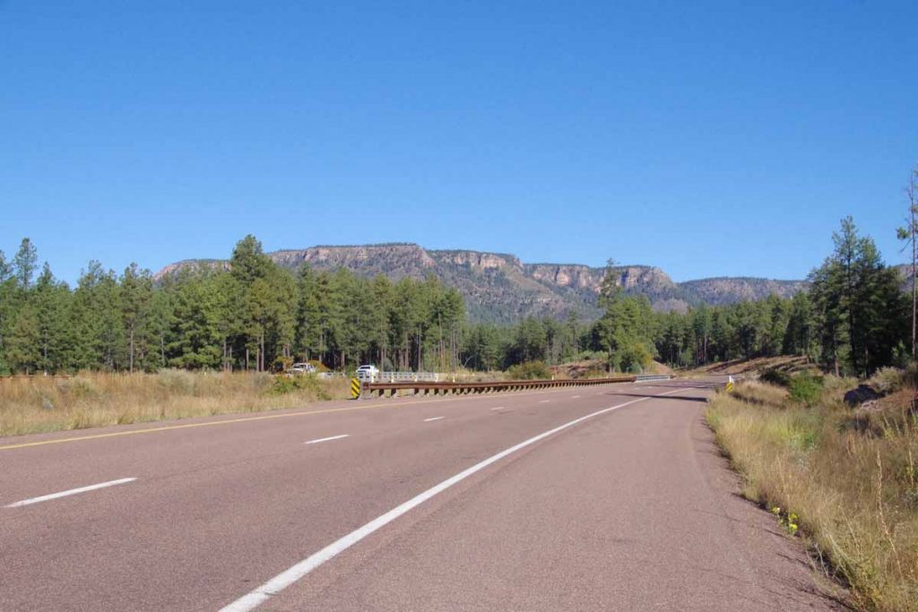
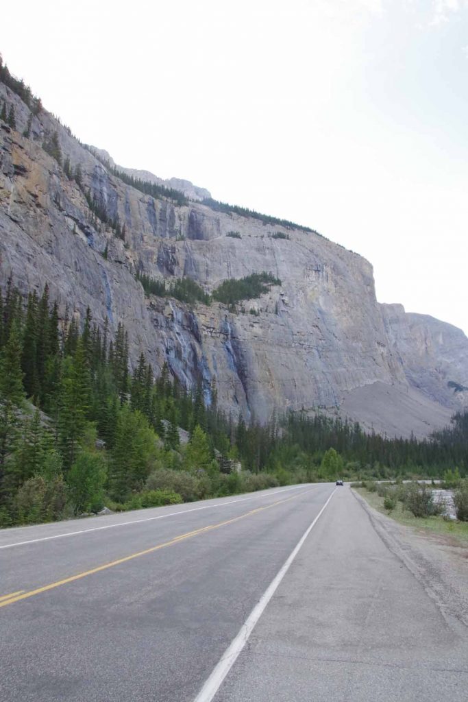
Most of the time the shoulder was fine, though did occasionally suffer from two problems: (a) as seen above, some strong lateral cracks that would cause a “thump, thump, thump” as I cycled over them. Interestingly the way to avoid this was to cycle in that groove in the middle and (b) when passing zones appeared the road didn’t get wider but instead the shoulders went away.

However, not to complain.

It was a slow steady climb to ~74km where suddenly the grade increased to ~8%. I pedaled some and also walked a little of this hill.
IMGP3419
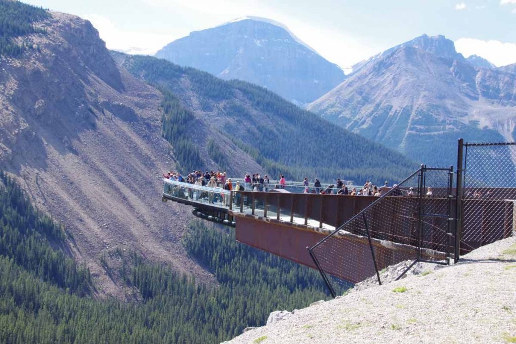
Near the top was this tourist attraction where tourists could walk out onto the skybridge that jutted some 250m+ over the valley floor below. After this sky bridge a short descent and last little bits going to the Columbia Icefields.
IMGP3421
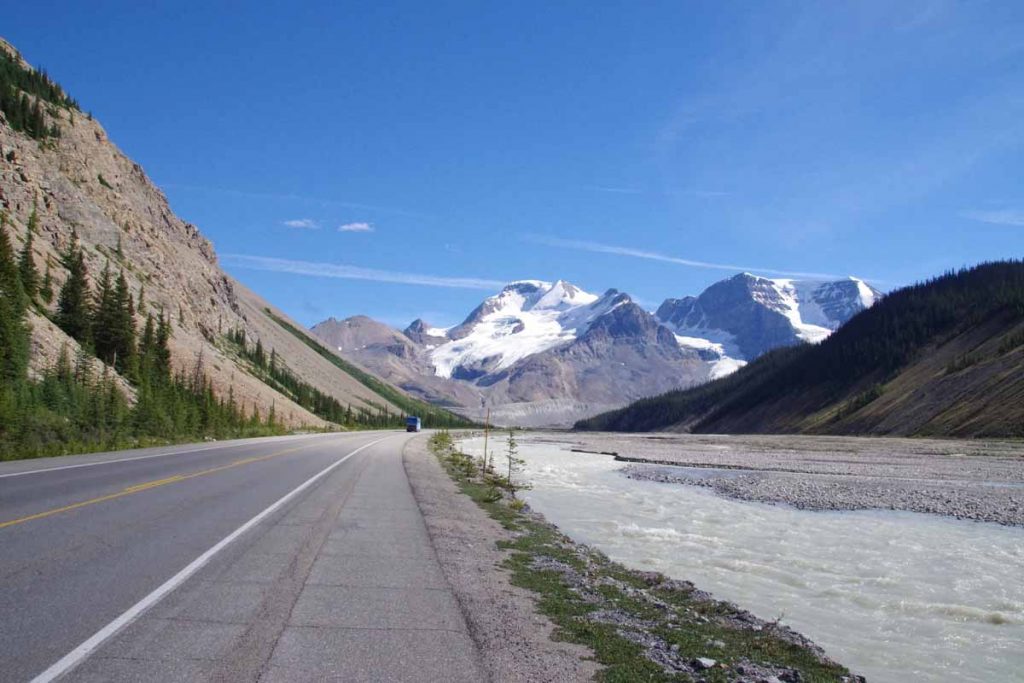
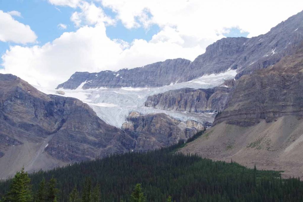
A good picture of the end of the icefield glacier below.
IMGP3424
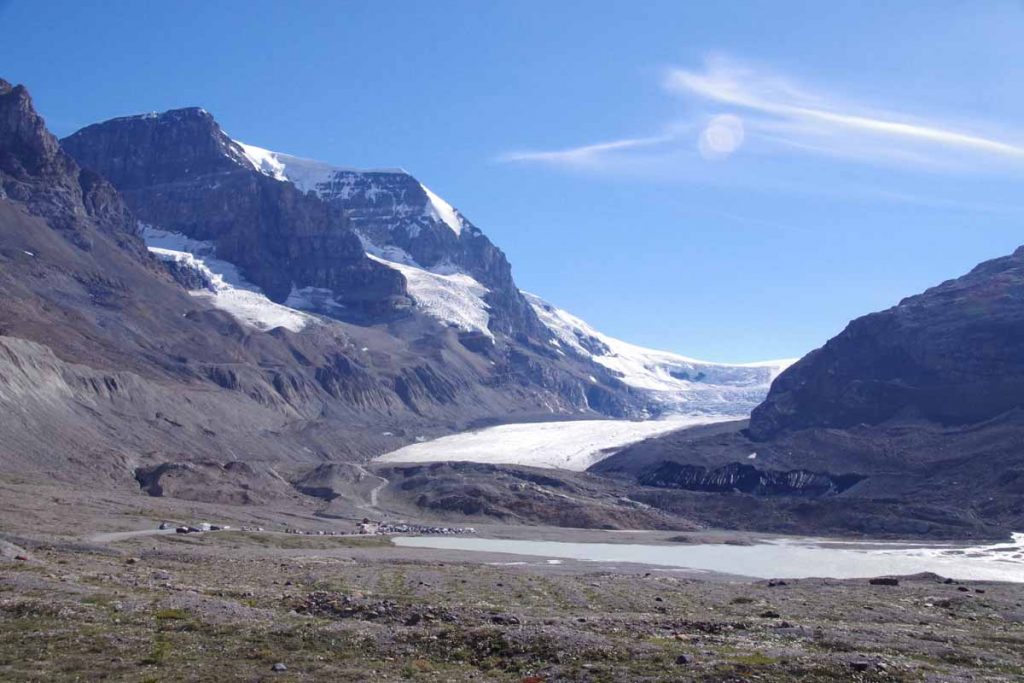
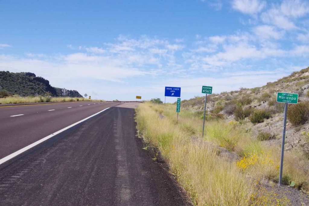
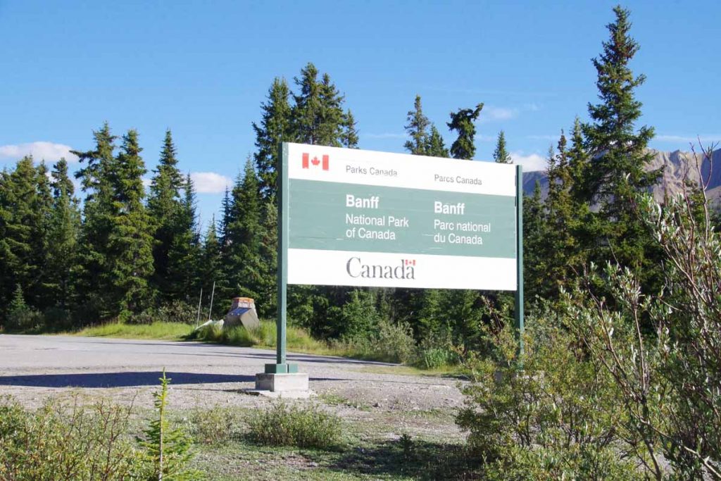
What I thought was interesting was almost immediately the river started large from bottom of the icefield. Also here was a large “Icefields Centre” with cafeteria and chance to refuel at end of the day. After this just 8km including 4km to top of the first pass (2035m) and boundary between Jasper and Banff Parks.
IMGP3426
Overall a tough but satisfying day with over 1000m of steady climbing from Wabasso Campground to and over the pass.
Day Two
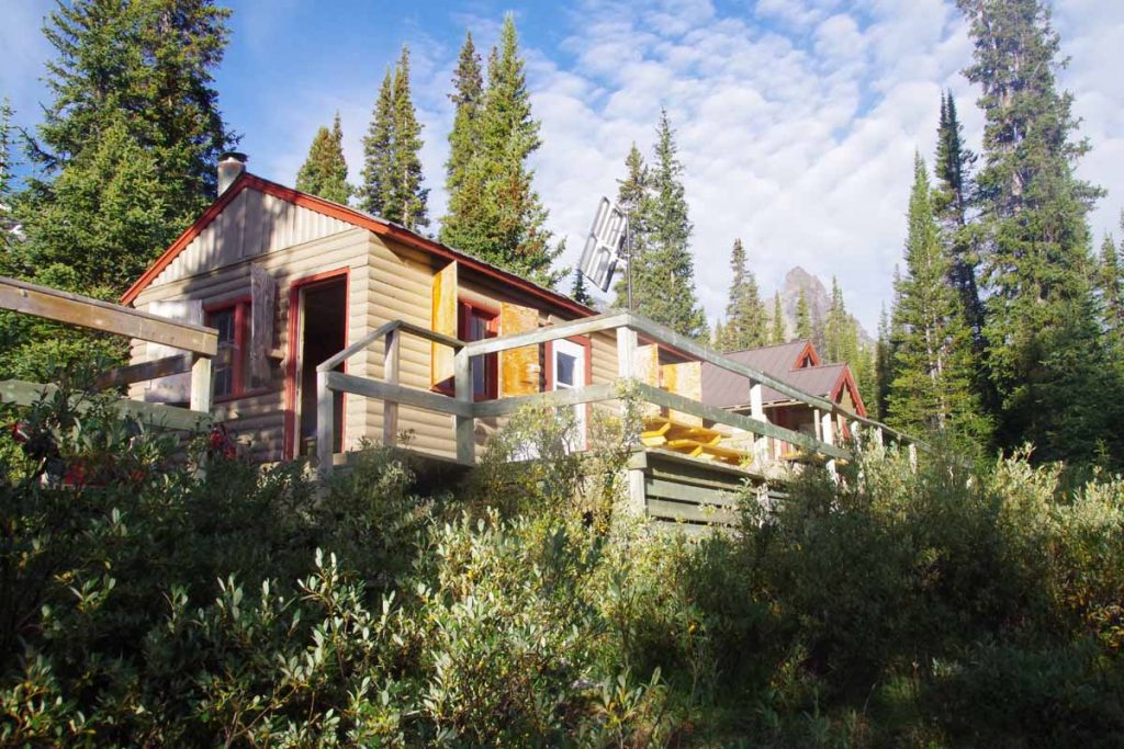
I stayed overnight at the Hilda Creek Hostel. A nice little place with dorm and kitchen building. The hostel itself was “unattended” meaning they emailed you a lock code and you needed to make sure you kept everything clean. There was another party of three there, friendly folks who also gave me some water (there river was fresh glacier melt and lots of sediment). The dorm was a bit dark, so I actually set up my tent outside.
IMGP3427
In the morning after the sun reached over the ridge, I set off for the day. First 40km would be downhill and then I would climb just as far back uphill over the next ridge.
IMGP3429
Steep descents down into the Saskatchewan River valley and also several degrees colder as sun hadn’t quite reached. Photo above coming to the “weeping wall” where small rivulets came down the steep rock face.
IMGP3433
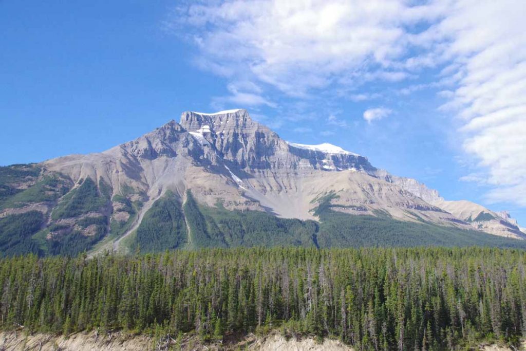
Many more dramatic mountains to pass, I stopping taking photos of all of them. At 40km was Saskatchewan Crossing, a large commercial place and chance to get early lunch.
IMGP3437
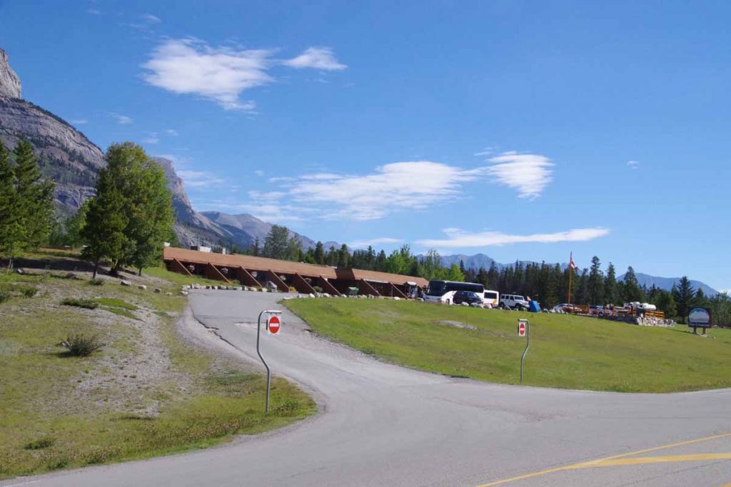
Tour buses were definitely stopping here and the line to restroom would suddenly grow as busloads queued up.

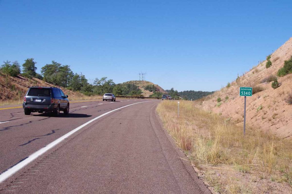
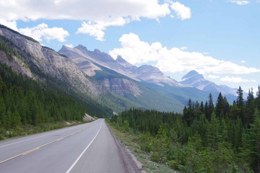
After lunch another 2km to cross the bridge at 1394m and from then another 34km of climbing back up to 2088m. Had a good climb to start and fortunately, not quite as steep as day before.
IMGP3442
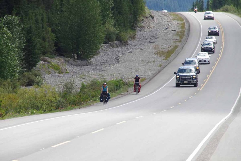
I did see some cyclists such as ones below, but you can see it was fairly busy.
IMGP3439
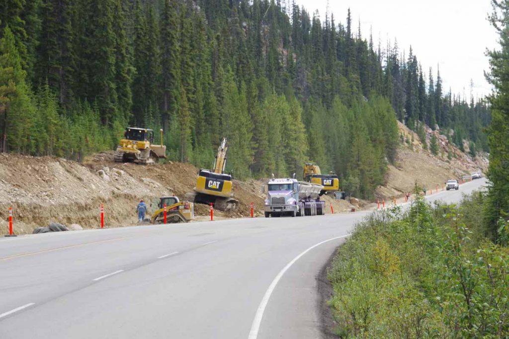
Pretty close to the top was brief area of construction (and exception to the “no trucks”)
IMGP3448
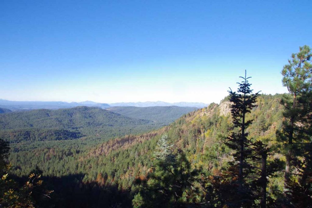
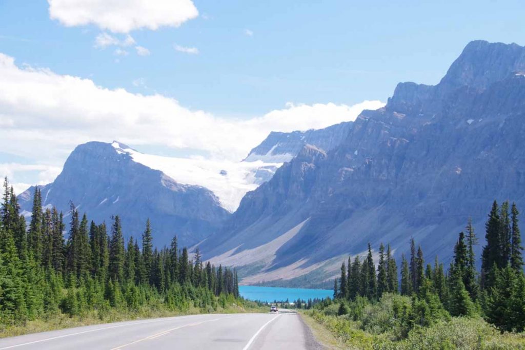
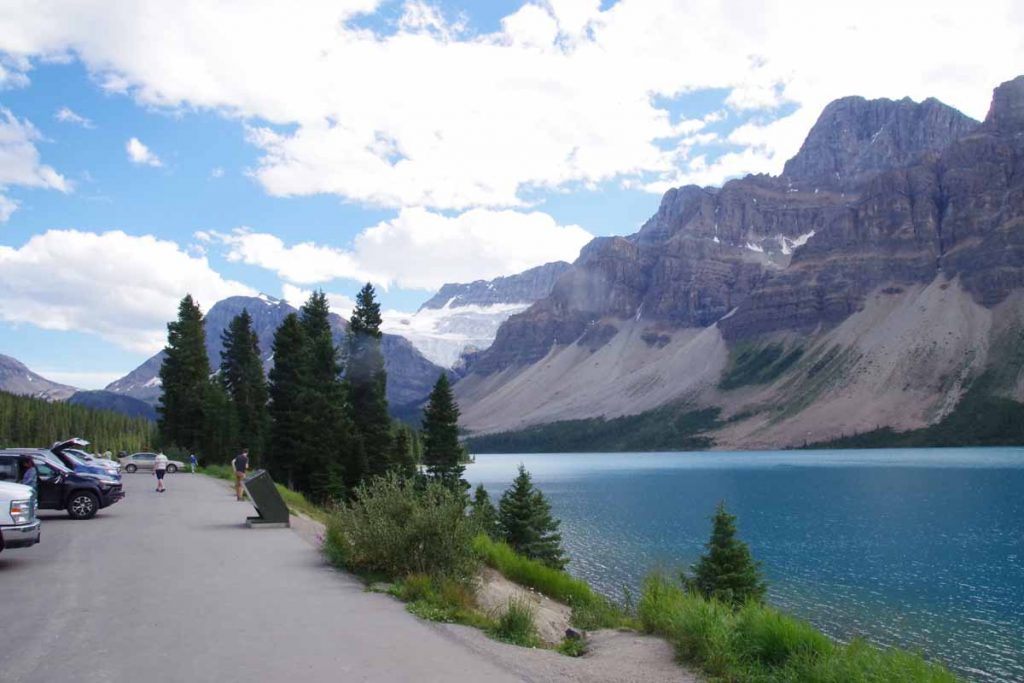
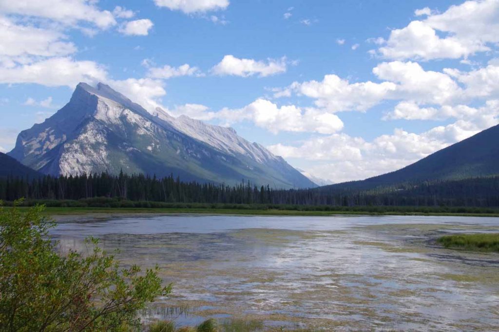
After this the rest of the day was mostly downhill past several deep blue lakes.
IMGP3451
IMGP3455
Here was Crowfoot Glacier.
IMGP3456
End of the day was another hostel, this time Mosquito Creek.
IMGP3459
This hostel had more guests as well as someone attending. Nice location and good place to relax.

Day Three
Woke early in hostel and careful not to wake other campers, made my breakfast in the cook building. Packed my gear and was on the road by 8am. It was still cool in the valley.
IMGP3463
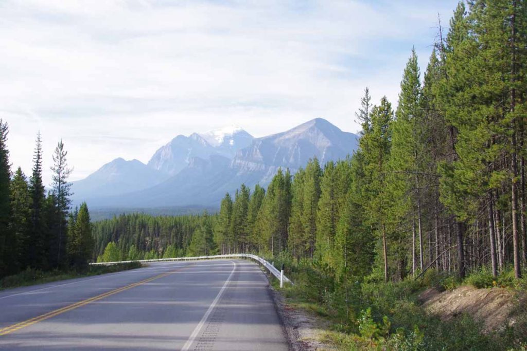
The predominant direction today was downhill with the first 27km going down to Lake Louise Village.
IMGP3464
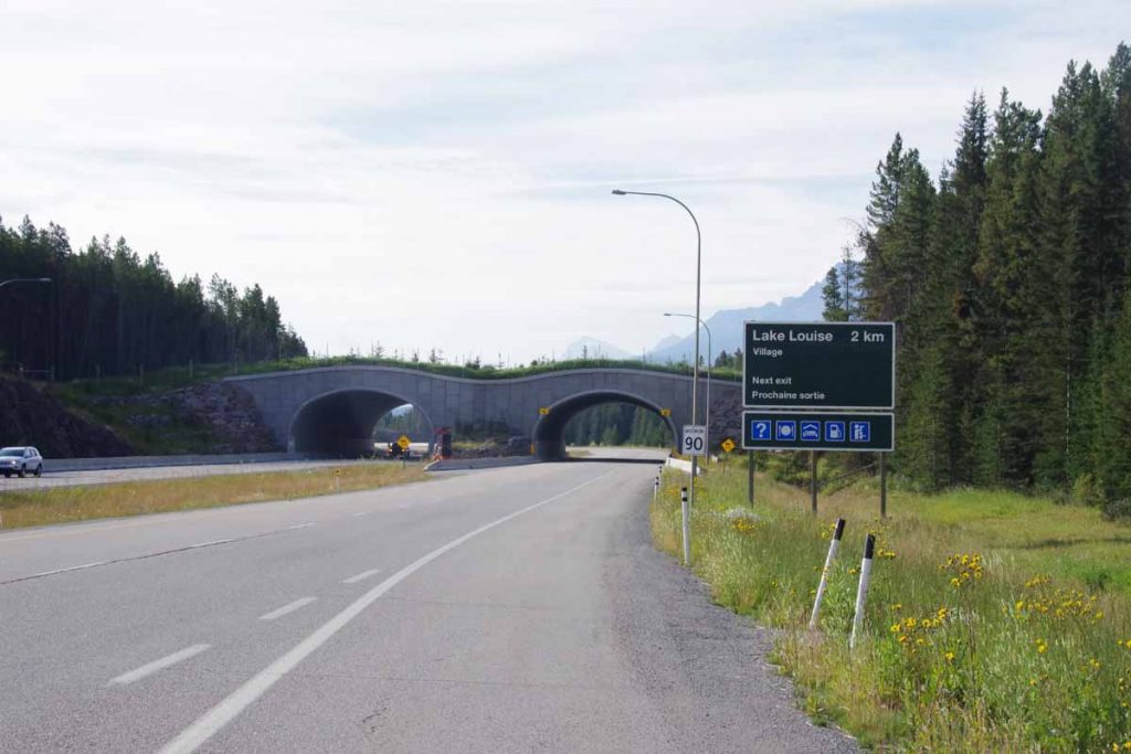
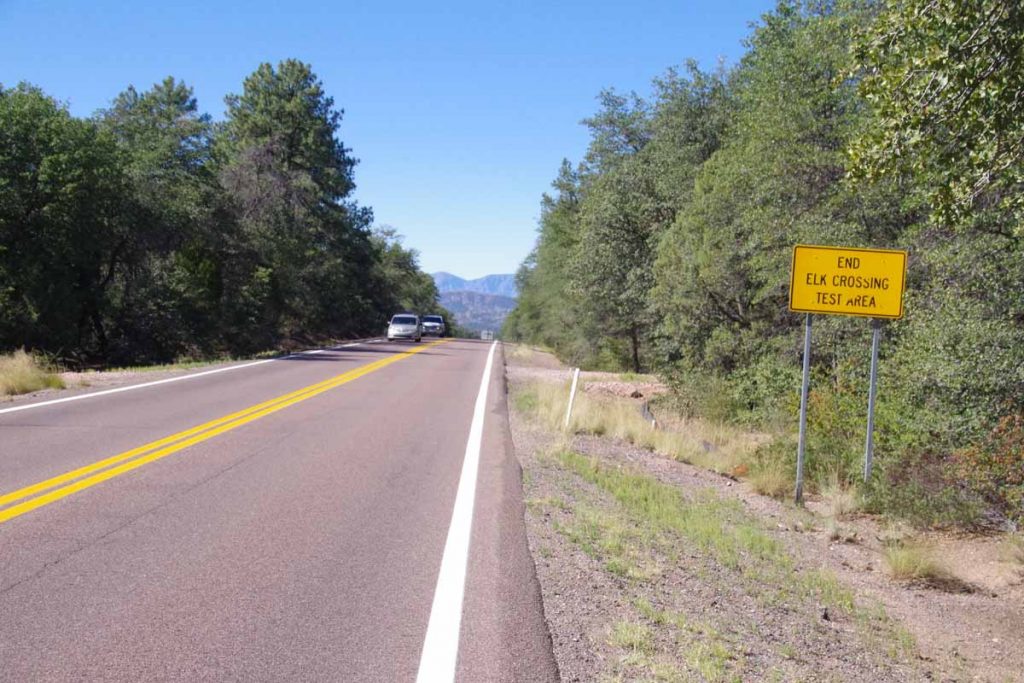
Just before the village, the Icefields Parkway officially ended and there was a short stretch of Trans-Canada Highway (route one). Apparently, I missed the separate bike path but the (interstate-type) highway was fine. One interesting thing this highway had done was erect huge fences everywhere to keep moose/elk etc off the highway. Instead they were directed onto animal crossings such as the ones above.

I stopped in at the visitor center in Lake Louise and got my Banff National Park information. Also found a chance to upgrade my planned campground to a hotel that wasn’t outrageously expensive. I considered cycling (200m+) up to Lake Louise but decided that could wait. From here the next 60km was along the old route, now named Bow Valley Parkway.
IMGP3465
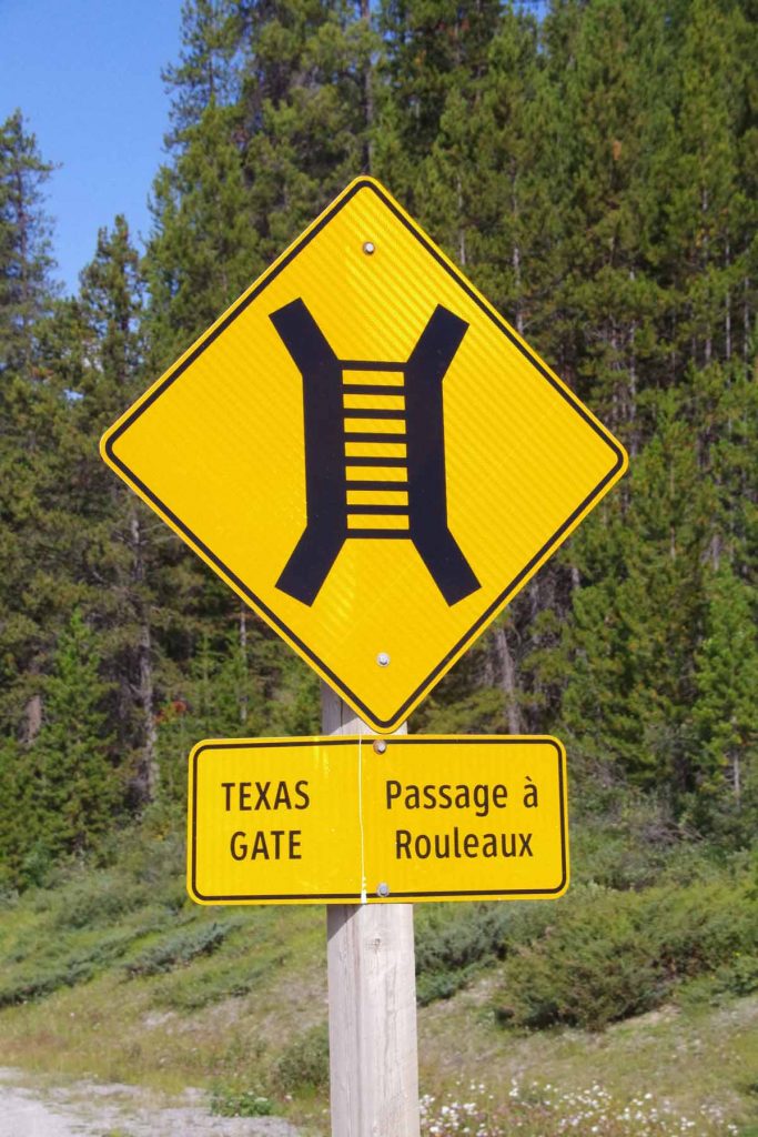
To help keep the animals from going onto the highway, they had “Texas Gates” as shown in sign above. What is a Texas Gate? Well looks a bit like below.
IMGP3466
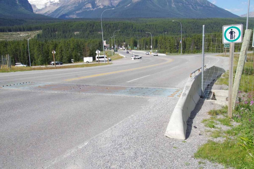
Yup, in Texas they would be “cattle guards”.

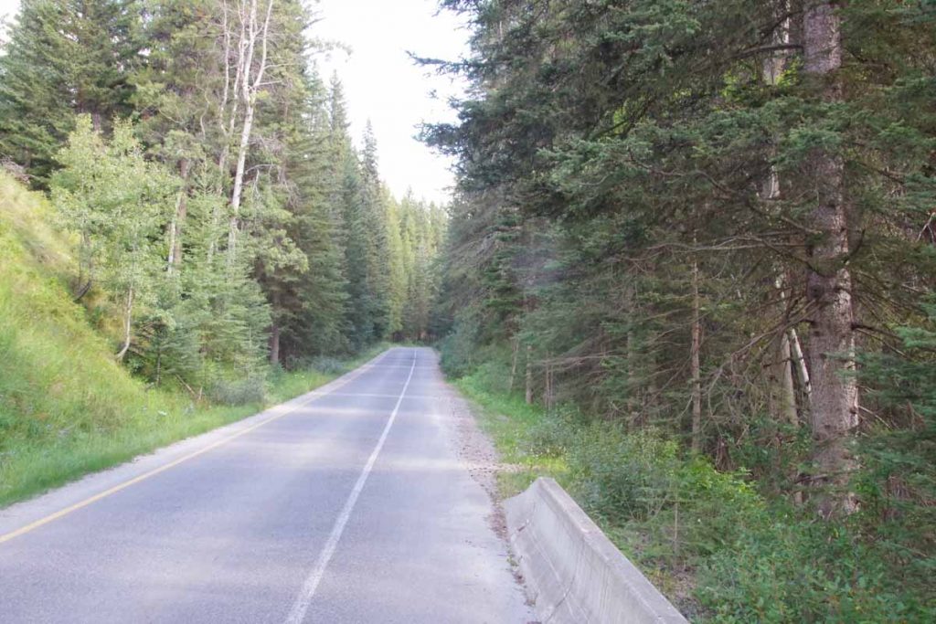
The Bow Valley Parkway as a quiet route with several information signs and stops along the way.
IMGP3469
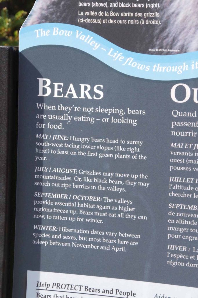
This one told us about bears (I only saw one on the second morning of the Icefields ride).
IMGP3471
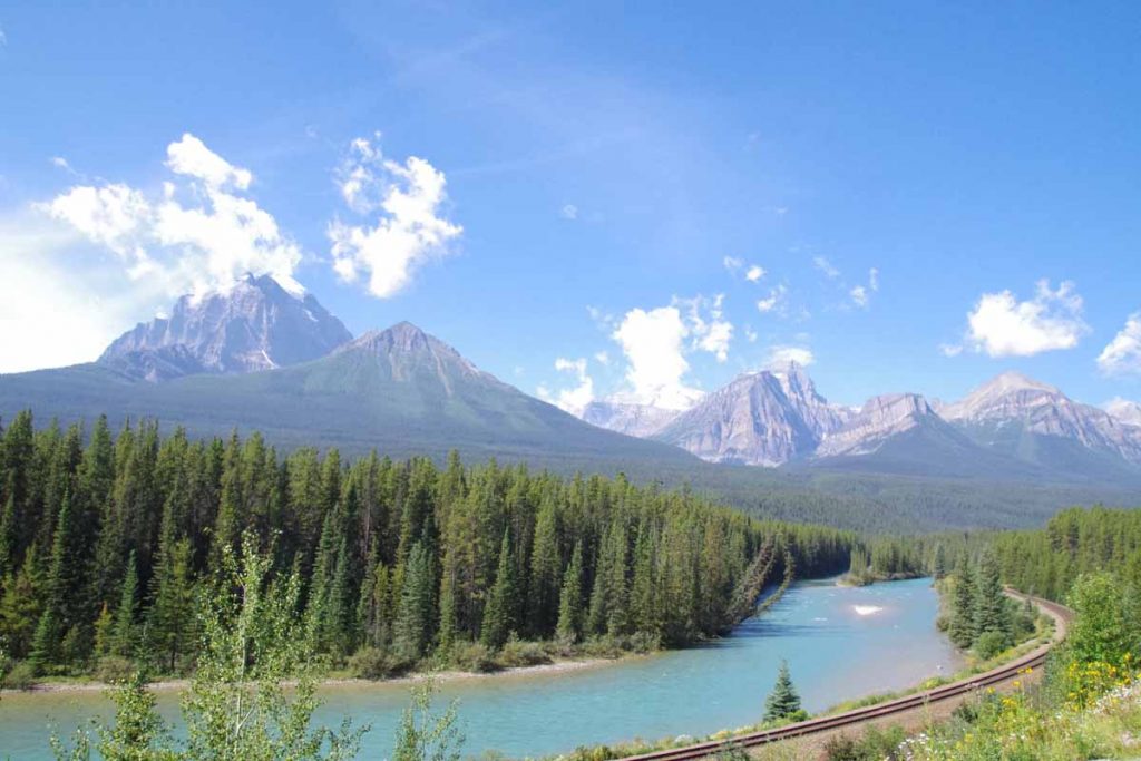
The route roughly followed the railway and the Bow River.
IMGP3474
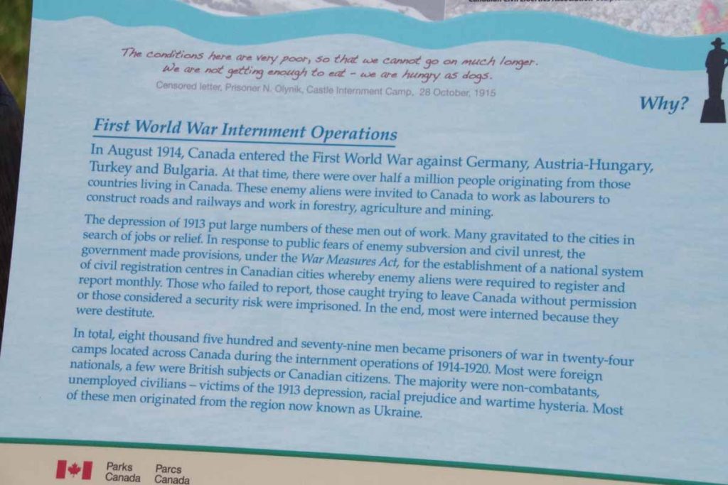
This sign and nearby statue was interesting since it talked about internment camps and road crews, but this time during the first world war and likely Ukrainians from the parts of Austro-Hungarian empire.
IMGP3477
In a few places, the road split and each direction was its own road. However, look at the nice wide striped shoulder on this one.

Near end of the Bow Parkway, the road rejoined the Trans-Canada and this time, I did find the bike path that led on to Banff. Nice little parkway that then went past a few lakes.
IMGP3479
To arrive at Banff itself.
IMGP3480
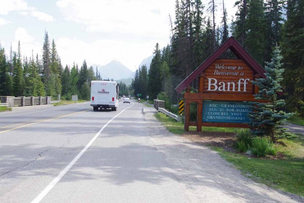
Here I found my way to hotel and then walked around downtown. Tomorrow a rest day here to get a few errands such as laundry done and otherwise prepare for the Great Divide cycling route. Nice to have made it to Banff.

Posted in Alberta, Canada | Tagged bear, descent, icefields
©2023 - A bicycle ride across the Americas - Weaver Xtreme Theme
↑