↓
 

A bicycle ride across the Americas

from Deadhorse (SCC) to Ushuaia (USH)

  • Home
  • Plan
  • Blog
  • Photos
  • FAQ
    • Why?
    • Where?
    • What next?
  • Map
  • Equipment
  • Calendar
  • Countries
    • USA
      • Alaska
      • Montana
      • Wyoming
      • Colorado
      • New Mexico
      • Arizona
      • California
      • Texas
    • Canada
    • Mexico
    • Guatemala
    • Honduras
    • Nicaragua
    • Costa Rica
    • Panama
    • Colombia
    • Ecuador
    • Peru
    • Bolivia
    • Chile
    • Argentina
  • Weather
  • Links
  • Contact
Home→Tags flat

Tag Archives: flat

Outskirts of San Diego

A bicycle ride across the Americas Posted on 2016-10-21 by mev2016-10-21

imgp4432
“Where are you headed?”, “San Diego”. It is a conversation I have a few times a day. However, folks aren’t looking as strangely as before. I am now four or five miles from downtown San Diego and will go there this weekend to make an official finish before taking the train to Portland on Monday.

Today had a surprising high range of temperatures. My cycle computer told me 5C (41F) starting from Pine Valley. Middle of the afternoon it peaked a little over 37C (99F) so a range of 50+ degrees Fahrenheit or 30+ degrees Celsius. I had ridden most of the route on Christmas rides though the Adventure Cycling route also was slightly different through Lakeside.
imgp4433
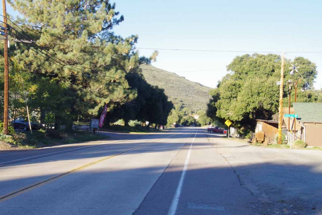
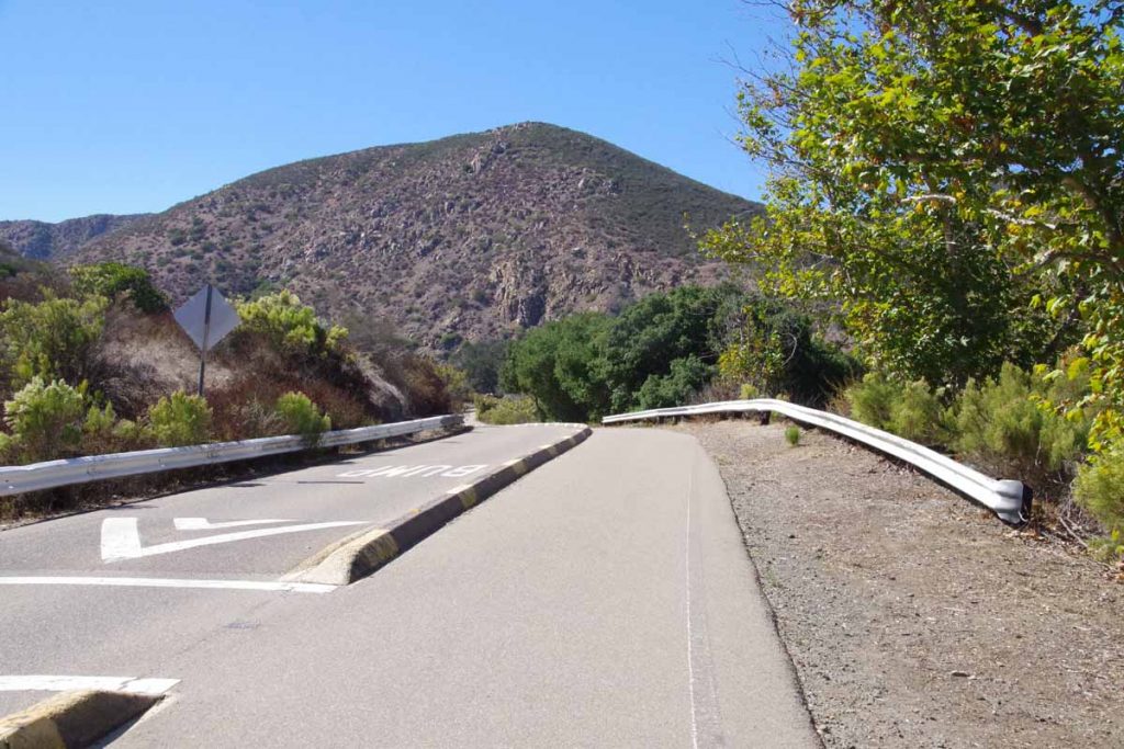
I climbed up the first hill from Pine Valley and in a very short time, the temperature jumped more than 10F (6C). No longer in the cold valley bottom. From here it was mostly downhill.
imgp4434
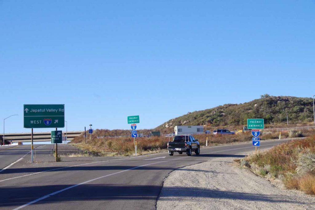
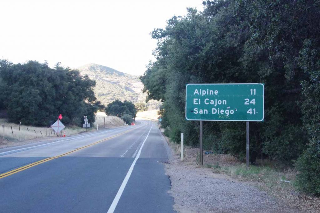
At eight miles there was a 3.5 mile ride on I-8 again. After this it was frontage roads through Alpine. By now it was over 20C. My rear tire felt funny and then noticed it was slowly going flat. Stopped to patch and noticed I had two patch kits where the glue had dried out including one where I had never even opened the glue. Fortunately, had a spare tube and swapped it in.
imgp4436
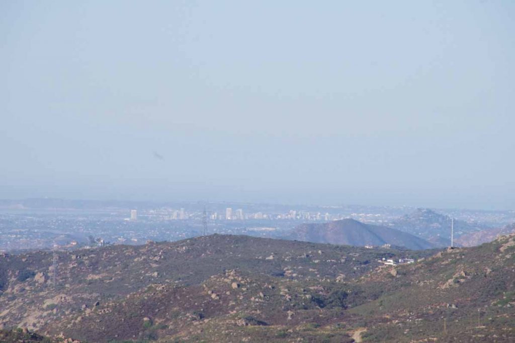
San Diego was visible in the distance (this photo was actually from the interstate).

Through Lakeside it started getting hot.
imgp4439
Leaving Lakeside was a few miles of Father Junipera Serra trail. After this I came to larger roads (Mission Gorge, Friar) and past shopping centers before finding my way in hotel on outskirts of San Diego.

Now looking forward to a weekend in San Diego. Also time to finish out phase 2 and start planning forward. I’ve come a long way (5000+ miles, 8000+ kilometers, 4 months) but there is still a lot more both from standpoint of challenge (Latin America vs US/Canada) and also distance (10,000+ miles to go).

Posted in California, USA | Tagged descent, flat

Haines Junction

A bicycle ride across the Americas Posted on 2016-07-10 by mev2016-07-10

It rained.

Today the rain made for a tougher day than it otherwise would have been. Forecasts told me 80% chance in Destruction Bay (my starting point) and only 30% chance in Haines Junction (my ending point), so figured it would only be getting better.
IMGP2898
Skies were overcast but otherwise dry and 10C (50F) when I started out. Fortunately, no more headwinds from yesterday. Slowly going down the road when at 13km, my front tire went flat. The tire has some small holes and something must have gotten in to puncture. I patched the tube but it already had four patches so also swapped in a new tube. Took my time carefully getting everything right. As I was doing this it started to sprinkle. Put on my rain jacket anyways and from that point until 80km point, it never stopped raining.
IMGP2900
At 26km, I came past an RV park and right at this point, Dave and Sarah came out. They had stayed there last night at a nice spot right along the lake. In this stretch the road followed the coast and if you look closely on photo above, you can see them cycling on the bend.

The road followed the lake around the next turn and suddenly the headwind was back. Coming due from south. The rain increased and temperature dropped to ~7C (45F). It was tough and cold riding. Up ahead at 36km was a small visitor area where I stopped in to warm up. Had nice exhibits about the Kluane Wilderness area and also one could rent bear canisters here and then return them in a “bear canister drop box”.

IMGP2906
Fortunately, after visitor area the road followed the lake shore around and then down wind. Still wet but better. At 44km the road also started to slowly climb away from the lake. The photo above was one of the plaques at 50km rest area.

The summit was at 52km and then a quick drop and then climbing again. The rain and cold increased in intensity so no photos for the next 50km. I was still warm enough but considered finding a spot to pitch the tent and just get a stop to the rain. However, one thing that kept me going was far ahead I could see a patch of blue sky. While it was still wet and cold at least the road ahead looked better than behind.

It took until 80km before the rain eased and then fairly quickly also stopped. The road was suddenly dry. Wow! It also warmed to 10C and then slowly a bit more. At 86km I reached a second summit, at 1004m the highest point between Fairbanks and Whitehorse.
IMGP2909
The next 14km past the summit was suddenly descent. No need to pedal, but instead watch to make sure I didn’t pick up too much speed. Somewhat amusing I found this sign around 96km warning of school buses and knew I was coming back to civilization. This community has around 100 residents, so not sure they have more than one or two school buses.

At 100km the chip seal ended. Wow! Smooth asphalt, it had been a while and definitely made a difference. Rode the last several 6km to reach Haines Junction. Overall 60km of wet rain and two longer climbs made for a bit longer day, though a 14km descent at the end still made it not too tough. I then got a chance to wander around Haines Junction.
IMGP2911
On the main highway intersection is this statue. Locals call it “the muffin” since it looks like a large muffin with animals embedded. Interestingly enough on several back streets there are also blue signs directing people to “the muffin”. I found a nice bakery (opens at 7am!) and they also had a muffin sign but explained the inside joke to me.
IMGP2914
Here is small church
IMGP2915
Here is sign explaining the church.
IMGP2917
Here is overview photo showing the Haines Junction highway intersection but also the dramatic mountains found nearby.

Posted in Canada, Yukon | Tagged flat, muffin, rain
©2023 - A bicycle ride across the Americas - Weaver Xtreme Theme
↑