↓
 

A bicycle ride across the Americas

from Deadhorse (SCC) to Ushuaia (USH)

  • Home
  • Plan
  • Blog
  • Photos
  • FAQ
    • Why?
    • Where?
    • What next?
  • Map
  • Equipment
  • Calendar
  • Countries
    • USA
      • Alaska
      • Montana
      • Wyoming
      • Colorado
      • New Mexico
      • Arizona
      • California
      • Texas
    • Canada
    • Mexico
    • Guatemala
    • Honduras
    • Nicaragua
    • Costa Rica
    • Panama
    • Colombia
    • Ecuador
    • Peru
    • Bolivia
    • Chile
    • Argentina
  • Weather
  • Links
  • Contact
Home→Tags rain

Tag Archives: rain

Iskut

A bicycle ride across the Americas Posted on 2016-07-23 by mev2016-07-23

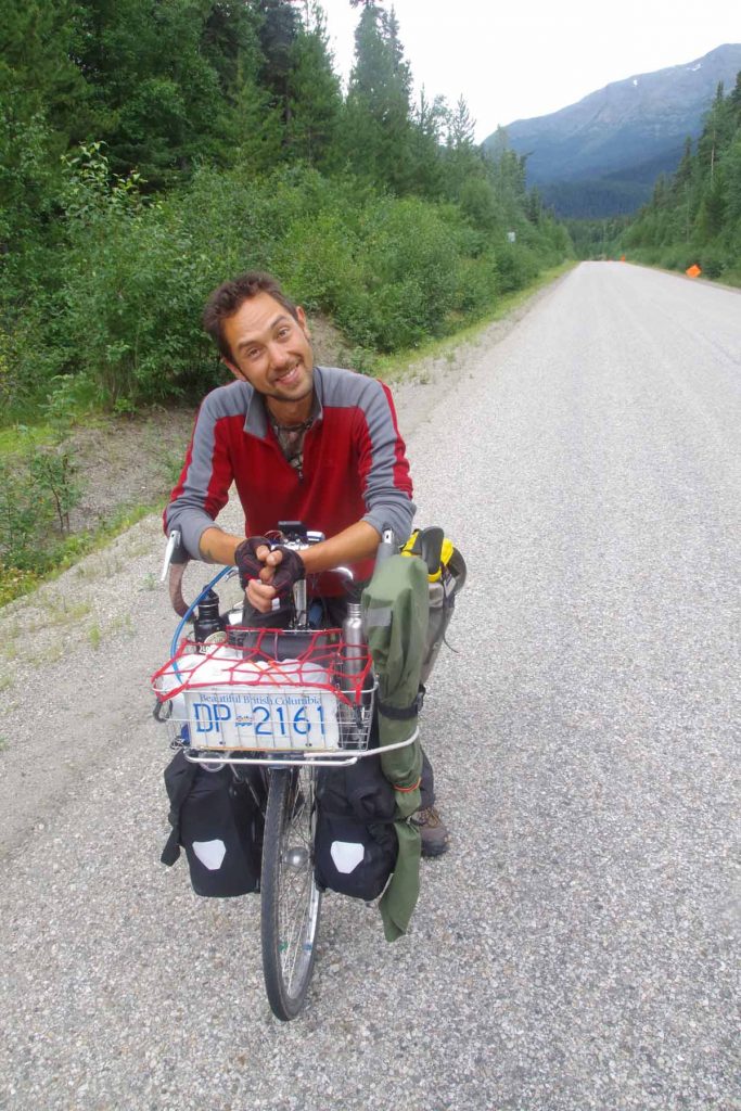
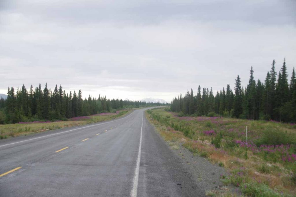
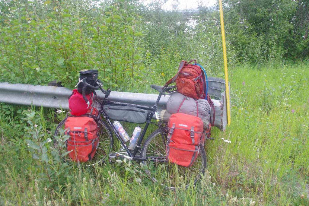
Weather today was not pleasant.
IMGP3132
Started out today at 7C (45F) and light rain. Motorcyclists looked at me as if I was a bit crazy, though we also agreed that I’d better generate heat than they sitting with cold wind chill. Fortunately, there was also some climbing on the agenda to generate the heat.

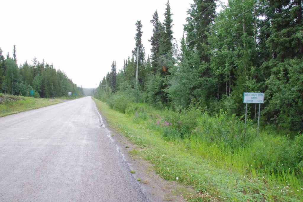
One kilometer in, I came across the sign above about an Arctic/Pacific watershed divide. Apparently, Dease Lake drains north to Dease River and eventually into the MacKenzie River in the Arctic Ocean. Barely up a few feet, areas south of the lake drain to the Tanzilla River to Stikine River and then to the Pacific. Only 822m according to the sign.

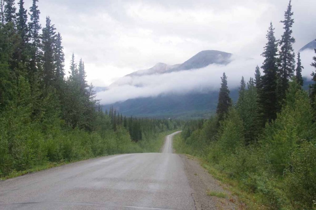
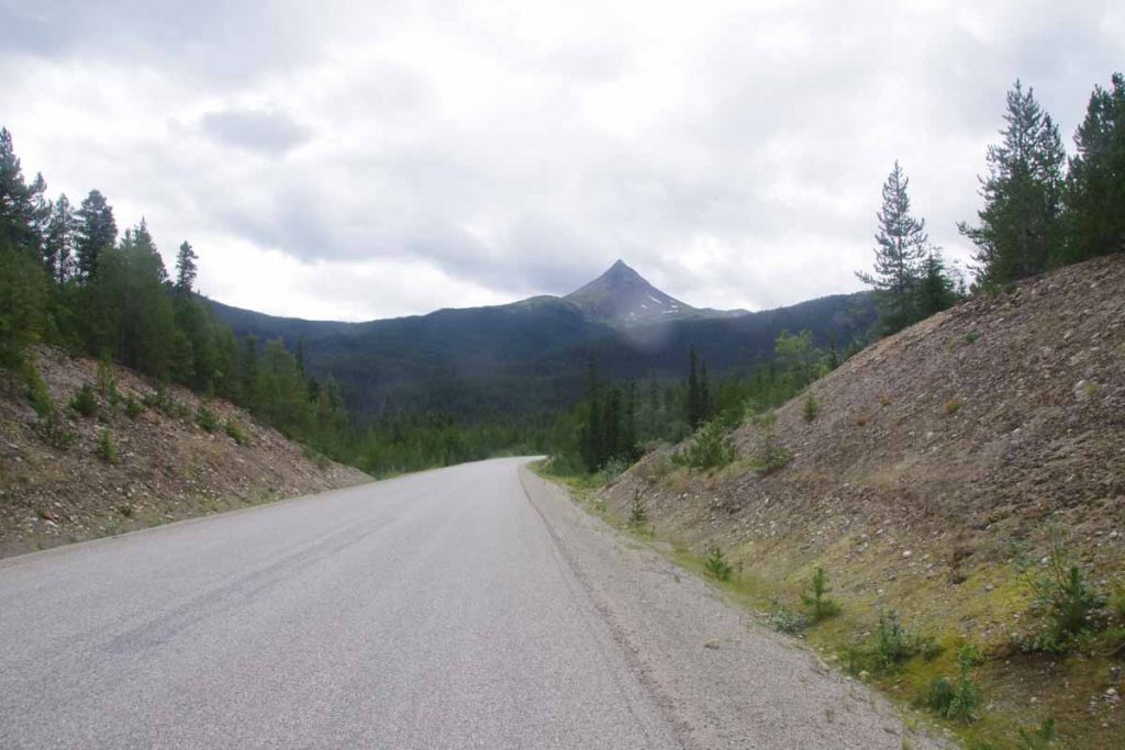
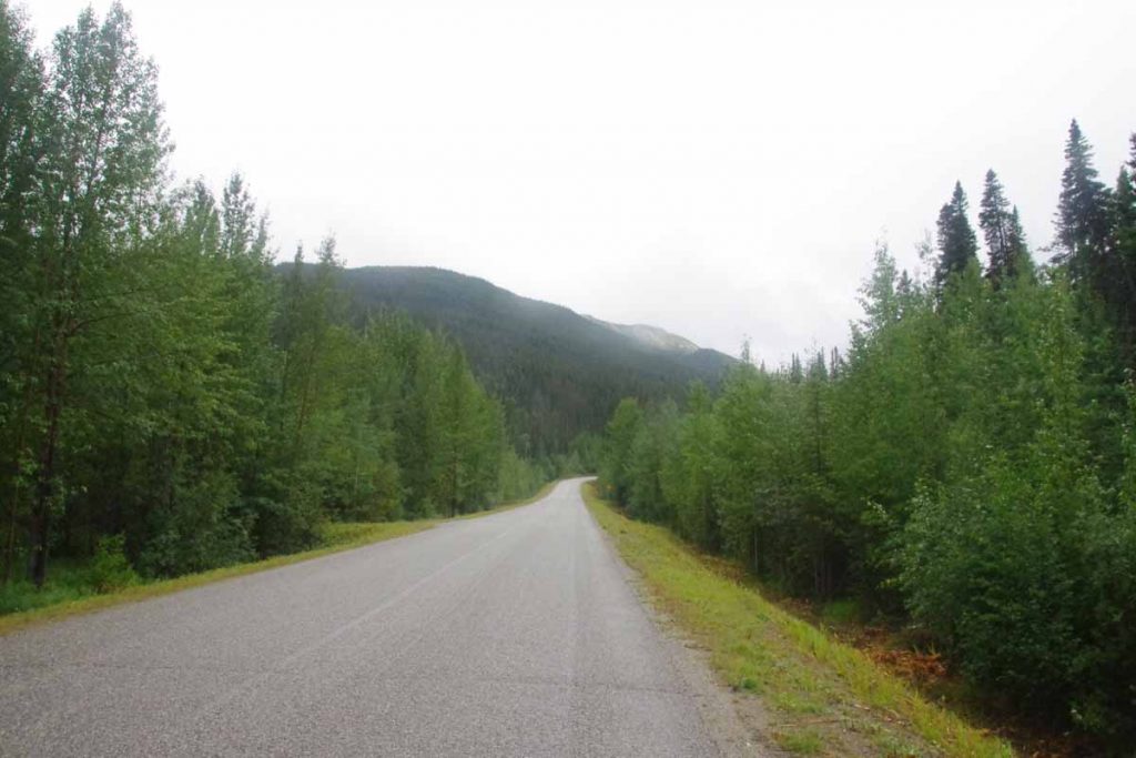
The first 9km had some gradual climbs until I reached the Tanzilla River itself. From here it would be 6km of steeper climbs and another 5km to reach the summit of Gnat Pass.
IMGP3133
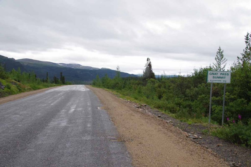
The rain had paused and I was still fresh, so put it into low gear and slowly made my way up the pass. As I climbed it rained a bit more and the temperature dropped. By time I was at the top (1241m), it was 4.3C (39F) and there was also a bit of a headwind. Fortunately, it didn’t get colder after that.
IMGP3135
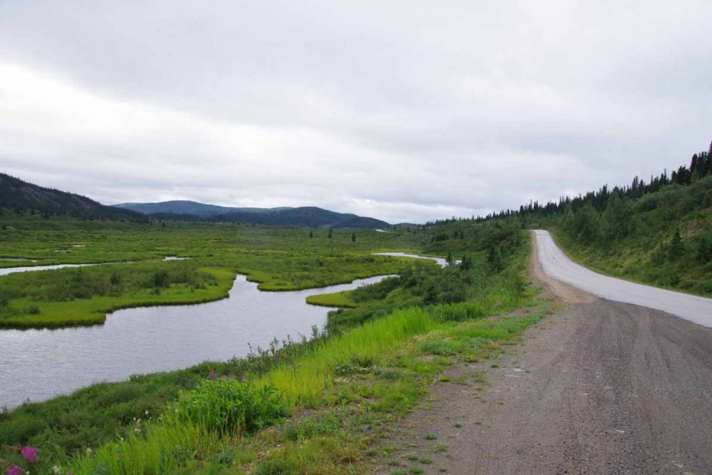
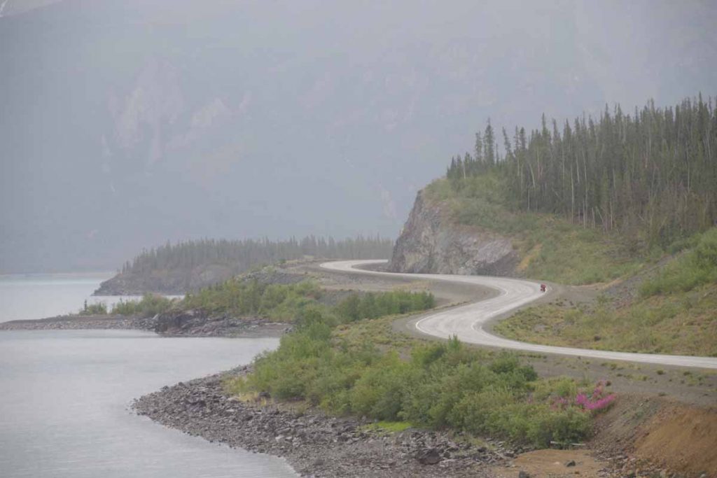
There were some nice lakes and the road generally trended downwards. It did warm a degree or two, but had to be careful to keep moving enough to keep warm. Close to 40km, the road descended a good bit to cross the Stikine River.
IMGP3136
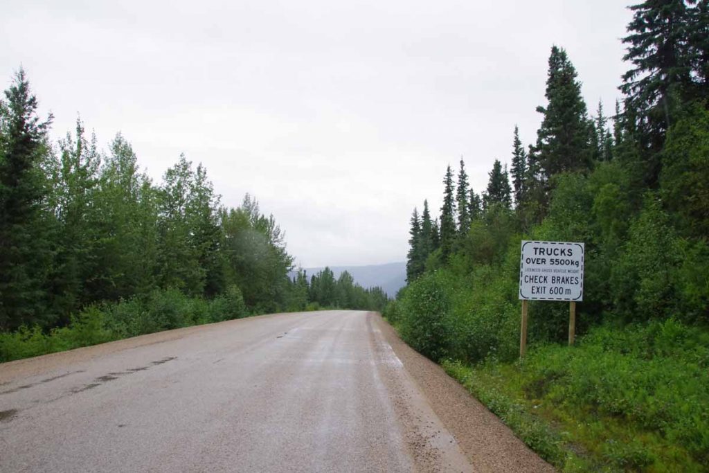
There was an area for truck drivers to check their brakes. Overall, the signs said “6%” but that was only one or two spots and overall I think the grade was less. The bottom was at 51km and 692m elevation, so I lost all the gains I had made for the day.
IMGP3137
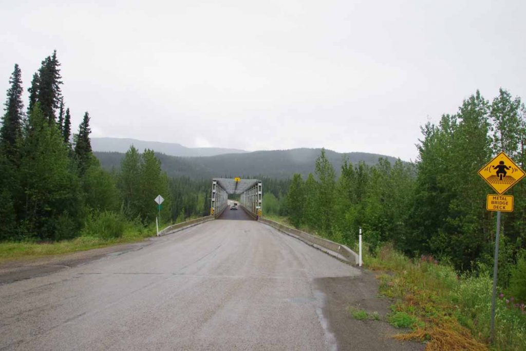
The bridge had a metal deck and I walked across rather than slipping in the wet. The river was surprisingly large. This overall river area is part of a provincial park. On the other side, the climb began again. Next 7km had some solid climbs including a section with steep curves where they had let the road go back to gravel. However, with almost as much energy as the first climb, I was soon back to the plateau. Along the way, the worst of the cold rain seemed to finish as well, though still had occasional drops.
IMGP3140
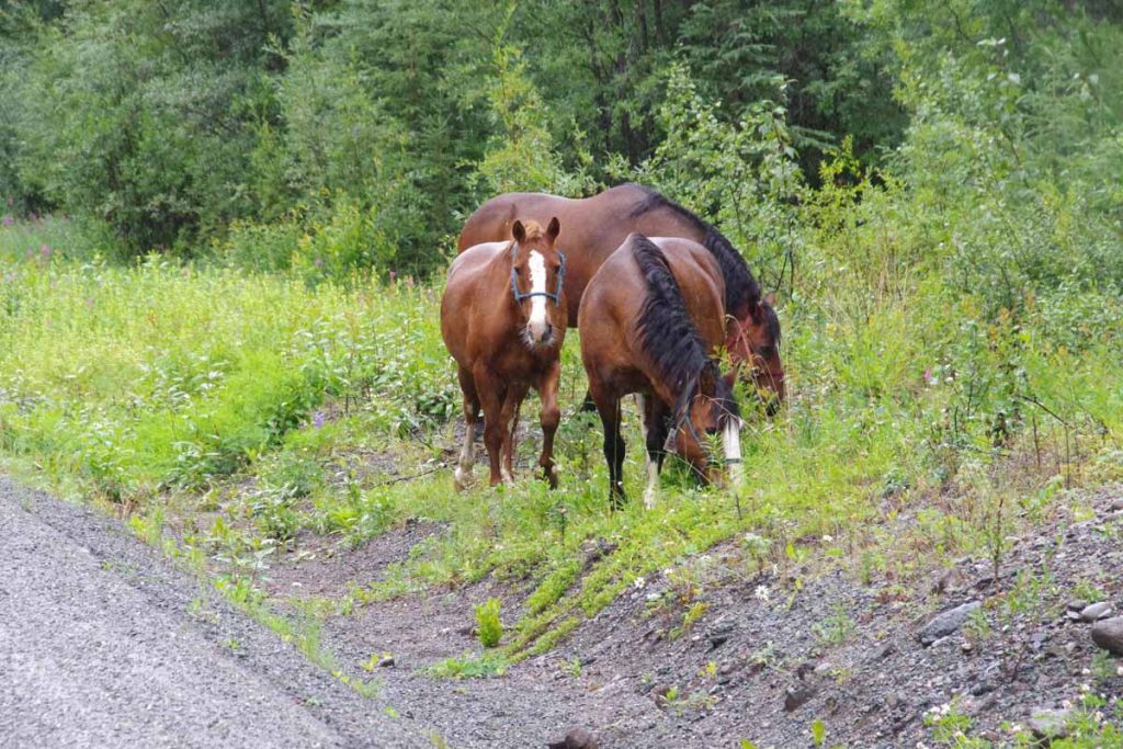
Up ahead I saw something cross the road. Didn’t quite seem like either bear or moose. Once I got closer, I found these three horses. They all had bells on them so made noise as they moved around. I stopped at a rest area and had a bit of of lunch at 60km. Every 5km there is a marker along the road, today had started 480, 475, 470,… I was amused to see that instead of “420” there was a milepost “421” instead. Most likely to keep people from stealing the sign.

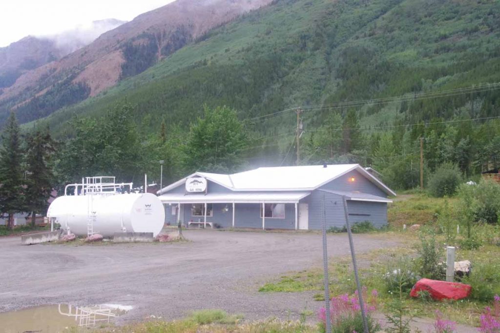
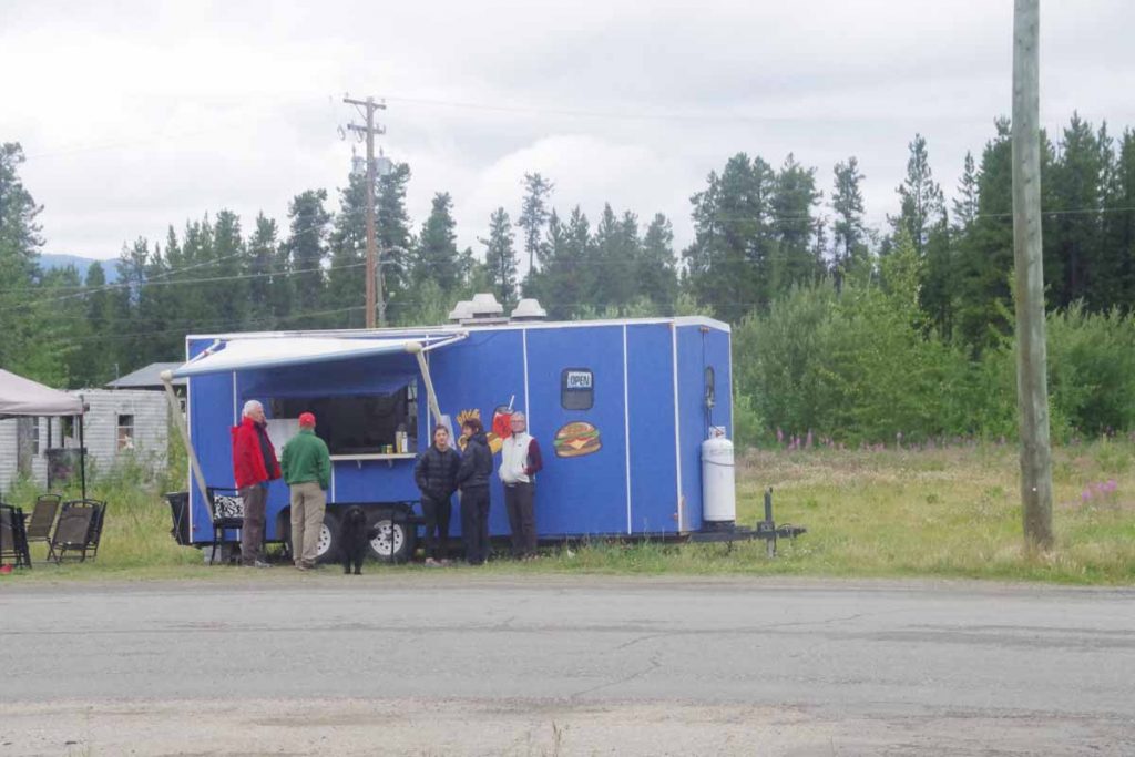
Once up top, there was another brief drainage to cross to reach ~1100m and after this a good descent into Iskut. In this stretch of road, the headwinds picked up and it was still cold. Saw a B&B and was tempting to stop here, but continued to reach Iskut store at 82km. While I didn’t need further supplies, this one would have been sufficient to stock up on provisions (unlike Good Hope Lake). After this another 16km south of town, most of it going along the lake before reaching the Tatogga Resort.
DSCF1250
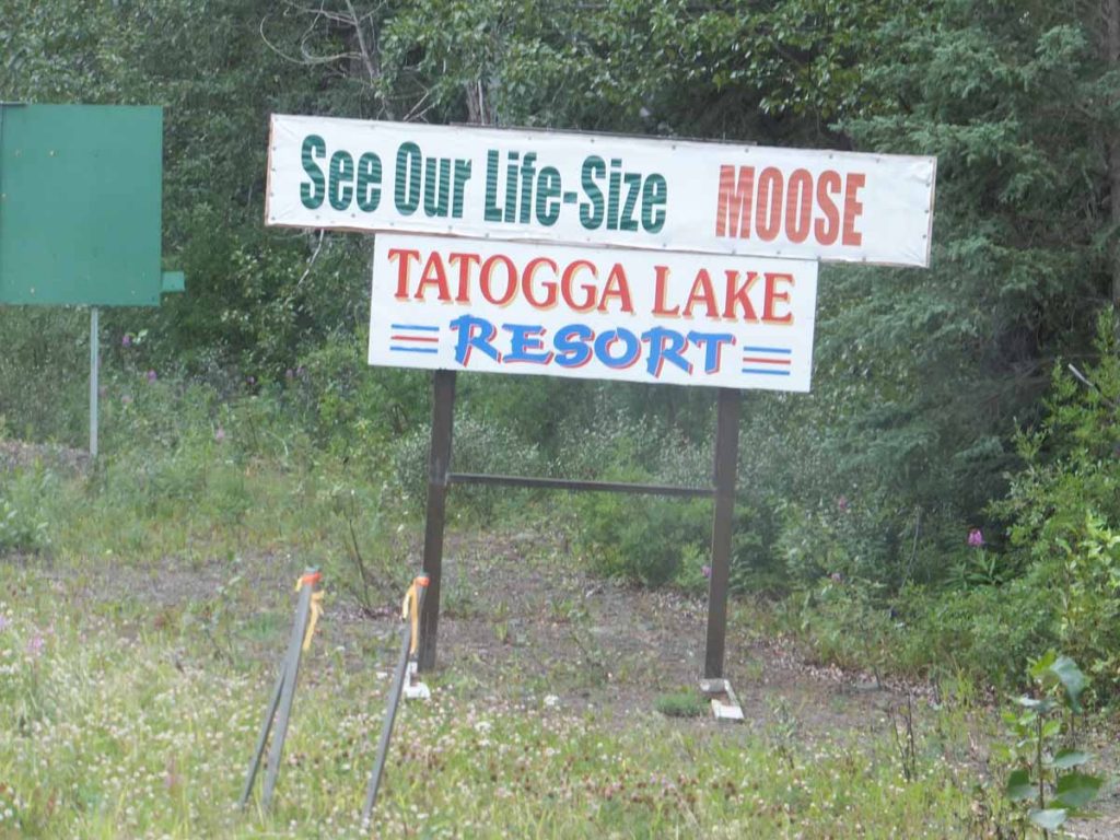
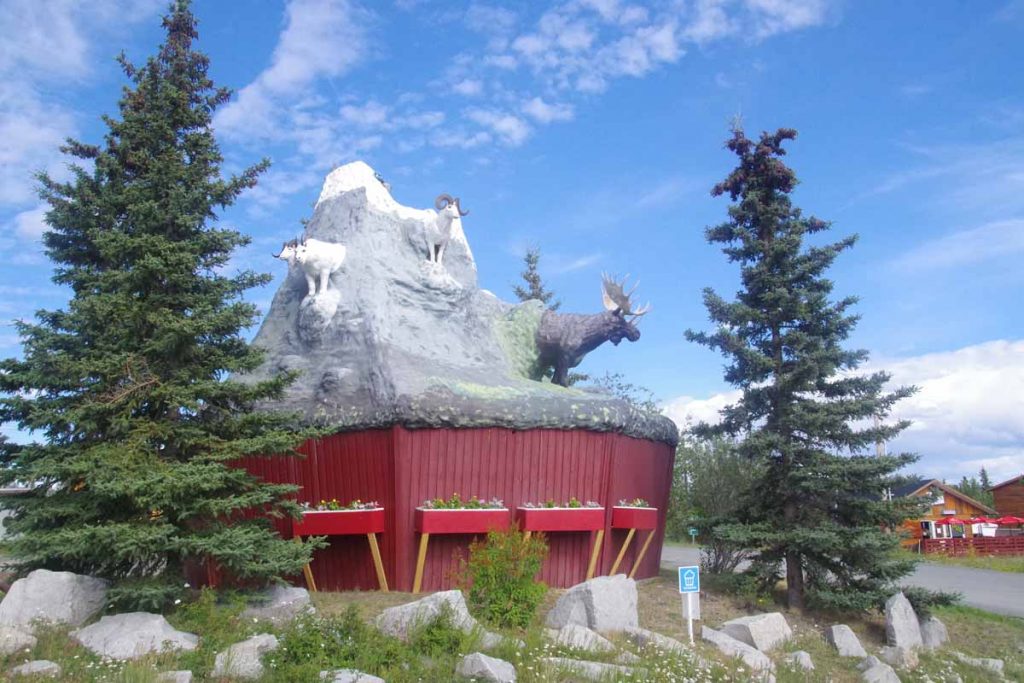
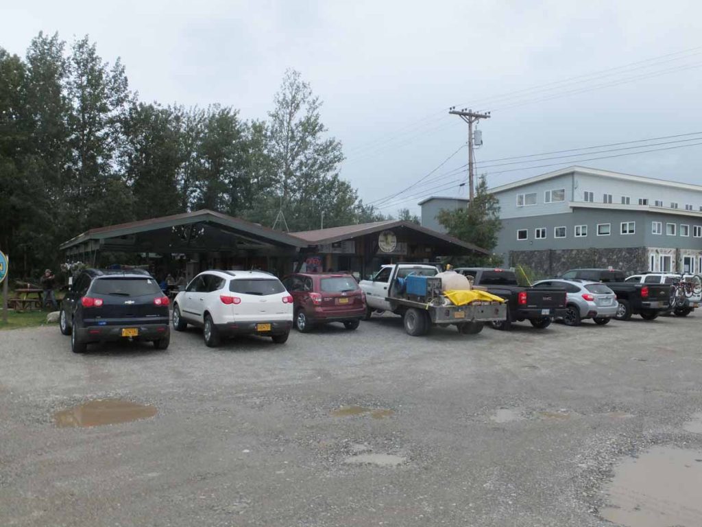
I was motivated to reach here, not so much to see the moose but instead to get a motel room out of the rain (more expected overnight) and recharge here for the next segment of the Cassiar. Overall, it never got much above 12C and particularly the first ~60km were rather cold and wet. While the lodge does have the moose mentioned above, it also has a rather nice set of overview maps so can get a sense of the terrain ahead.

Posted in British Columbia, Canada | Tagged headwind, hills, rain

Dease Lake, avoiding the rain

A bicycle ride across the Americas Posted on 2016-07-22 by mev2016-07-22

Three days of cycling brought me to small settlement of Dease Lake. Each day had some rain, though fortunately avoided it during most of the the cycling hours.
IMGP3111
Left Nugget City after a good breakfast, refreshed and ready to see the Cassiar Highway. At 1km, I turned south to the junction and at 5km, I came to the border with British Columbia shown above. First impressions of the road were good, at least as smooth as the chip-seal Alaska Highway. A bit narrower, both in the road and in how much of the side vegetation had been cleared.
IMGP3113
I saw a fox in the distance not long after I entered BC. He watched me briefly and then scurried away. The first 30km along the road had an initial climb and then a lot of quick short hills. In contrast to the Alaska Highway, the Cassiar seems to stay “closer” to the grade and hence had quite a few quick, short and steep grades. That took some getting used to and the first 30km were a bit slower. In return, it felt a bit more “wilderness” than the larger and busier Alaska Highway. There were still a moderate amount of RVs and motorcycles and even some 18-wheeler trucks but perhaps 50% less overall.
IMGP3114
I crossed some older burned out areas. At 44km as I passed Wheeler Lake, the short steep little hills had largely subsided and the chip seal was replaced with perfectly smooth asphalt. Wow!
IMGP3115
At 60km, stopped briefly at Beaverdam rest area and talked with a truck driver with car carrier bringing seven vehicles up to Eagle River. He warned me of some construction ahead closer to Dease Lake. It also started to rain lightly. However, without too much trouble I was able to find my way to Boya Provincial Campground.
IMGP3117
The campground was a beautiful site with two campsites for bicycles with picnic table and right by the lake. It was a great place to camp. Some rain in the evening and also overnight.
IMGP3118
Woke up on second day at 4am to rain on the roof. I let it rain for a while, but not much past 5am, I was ready to get up. Not too far from my campsite was a covered space for the canoe/boat landing. I moved my tent, bike and gear under the shelter and made breakfast. This let me get ready out of the rain and by time I was ready to go, the rain had mostly stopped.
IMGP3119
In distance to the north (unfortunately I was headed south), I could see the sun under edge of the clouds. However, it did stay dry on second day until I reached my next camp. First 2km to go back to the main road and then follow the road over some small hills. Theme for day two was “Cassiar Mountains” as I spent the entire day slowly weaving my way between the mountains.
IMGP3121
Another image from second day where you can see the Cassiar Highway.
IMGP3122
At 15km, I came to “Good Hope Lake” and just in time for the gas station to open. This was also listed as a store, though I would have been disappointed if I had relied on this for provisions. Good thing I got them in Watson Lake.
IMGP3125
At 40km, I came to Jade City. While it is listed on the map as “city” what you see above is most of it. Apparently, a large percentage of the world’s Jade is mined near here and the store above has lots of different sizes and types for sale. I got a coke and candy bar and instead refueled here. Also interesting to meet a guy who had raced Tour Divide last year with an impressive 27 day finish (100 miles/day). He also told me to avoid carrying too much extra on the Great Divide route.
IMGP3126
Above is Needle Nose mountain. The route kept threading its way past these mountains and first along a sequence of lakes. I crossed over top of current drainage near 60km and then a good descent for several kilometers to the Cottonwood River. From here mostly flat before the road started following the Dease River uphill.
IMGP3127
Met a cyclist who started in Ohio on May 17th and was headed to Alaska. We traded information about the road ahead. Not much further, I found a good spot to camp near Pyramid Creek. 86km for the day, but a pretty ride. As far as timing goes, not long after I set up camp it started to rain. Was nice to be snug in the tent with the rain heading down, though did go out later to make dinner.
IMGP3128
Third day started a bit cold and ugly. It rained a fair amount overnight and in morning when I woke up as well. I procrastinated getting up for a while and as my luck had it, it did mostly stop raining in time for me to make breakfast and pack camp. However, it was cool (8C) and never really warmed up this day. Also later in the day, I got a bit of a headwind. I put my rain jacket on and also sweated some into it.
IMGP3129
Some minor road construction to start. These guys were using a machine to trim some of the foliage closest to the road.
IMGP3130
The larger construction was the “Sawmill to Serpentine” project for 27km. In addition to a number of kilometers of gravel, this happened to correspond to spot where the road climbed a fair amount away from the lake and then descended up and down over some steep little hills. The hills, gravel and reappearance of wet spotty rain meant for some slow cycling. Fortunately not that long of a day and I found myself into Dease Lake a little before 1pm.
IMGP3131
Coming into Dease Lake, I was amused to find some other businesses giving their directions as “turn left at the restaurant”, implying there was only one restaurant. However then found that even that restaurant was closed. However, a reasonable grocery here along with a deli grill. Got a motel room with kitchenette to dry my gear and also can make some things from the grocery. Looking to regroup here and looks like might be slightly damp next few days as well.

Posted in British Columbia, Canada | Tagged Cassiar, fox, rain

Haines Junction

A bicycle ride across the Americas Posted on 2016-07-10 by mev2016-07-10

It rained.

Today the rain made for a tougher day than it otherwise would have been. Forecasts told me 80% chance in Destruction Bay (my starting point) and only 30% chance in Haines Junction (my ending point), so figured it would only be getting better.
IMGP2898
Skies were overcast but otherwise dry and 10C (50F) when I started out. Fortunately, no more headwinds from yesterday. Slowly going down the road when at 13km, my front tire went flat. The tire has some small holes and something must have gotten in to puncture. I patched the tube but it already had four patches so also swapped in a new tube. Took my time carefully getting everything right. As I was doing this it started to sprinkle. Put on my rain jacket anyways and from that point until 80km point, it never stopped raining.
IMGP2900
At 26km, I came past an RV park and right at this point, Dave and Sarah came out. They had stayed there last night at a nice spot right along the lake. In this stretch the road followed the coast and if you look closely on photo above, you can see them cycling on the bend.

The road followed the lake around the next turn and suddenly the headwind was back. Coming due from south. The rain increased and temperature dropped to ~7C (45F). It was tough and cold riding. Up ahead at 36km was a small visitor area where I stopped in to warm up. Had nice exhibits about the Kluane Wilderness area and also one could rent bear canisters here and then return them in a “bear canister drop box”.

IMGP2906
Fortunately, after visitor area the road followed the lake shore around and then down wind. Still wet but better. At 44km the road also started to slowly climb away from the lake. The photo above was one of the plaques at 50km rest area.

The summit was at 52km and then a quick drop and then climbing again. The rain and cold increased in intensity so no photos for the next 50km. I was still warm enough but considered finding a spot to pitch the tent and just get a stop to the rain. However, one thing that kept me going was far ahead I could see a patch of blue sky. While it was still wet and cold at least the road ahead looked better than behind.

It took until 80km before the rain eased and then fairly quickly also stopped. The road was suddenly dry. Wow! It also warmed to 10C and then slowly a bit more. At 86km I reached a second summit, at 1004m the highest point between Fairbanks and Whitehorse.
IMGP2909
The next 14km past the summit was suddenly descent. No need to pedal, but instead watch to make sure I didn’t pick up too much speed. Somewhat amusing I found this sign around 96km warning of school buses and knew I was coming back to civilization. This community has around 100 residents, so not sure they have more than one or two school buses.

At 100km the chip seal ended. Wow! Smooth asphalt, it had been a while and definitely made a difference. Rode the last several 6km to reach Haines Junction. Overall 60km of wet rain and two longer climbs made for a bit longer day, though a 14km descent at the end still made it not too tough. I then got a chance to wander around Haines Junction.
IMGP2911
On the main highway intersection is this statue. Locals call it “the muffin” since it looks like a large muffin with animals embedded. Interestingly enough on several back streets there are also blue signs directing people to “the muffin”. I found a nice bakery (opens at 7am!) and they also had a muffin sign but explained the inside joke to me.
IMGP2914
Here is small church
IMGP2915
Here is sign explaining the church.
IMGP2917
Here is overview photo showing the Haines Junction highway intersection but also the dramatic mountains found nearby.

Posted in Canada, Yukon | Tagged flat, muffin, rain

Delta Junction, easy riding on the Richardson Highway

A bicycle ride across the Americas Posted on 2016-07-02 by mev2016-07-07

On the road again after fixing the bike. New derailleur worked well as did the new pedals. This let me take off on Friday morning. Now I had a choice on which direction to go. Briefly considered three choices:

  • Yukon River. A purist approach would be to get the bike back to Yukon River and come back cycling from there – covering all the distance. That had some logistical issues, particularly getting myself and bicycle back and some risk of getting caught back in mud again. It would however, be the “purist” thing to do. In the end the reason that tipped the scales here was I just wasn’t that excited about the gravel between Yukon River and end of the Dalton Highway. So guess not being a purist here.
  • Cycle the Elliott Highway back and forth. Take a three day trip up to the start of the Dalton and back. Would cover at least some of the missing gap and also have a good shakedown before departing Fairbanks again.
  • Start cycling from Fairbanks southbound towards Alaska Highway and towards Watson Lake.

I was most serious about the last two and not 100% decided until last minute. In the end, I started down from Fairbanks, partially to get some reasonable travels down the road and start a track record from here.  It does mean there is a “gap” in the travels and that is just the way it will end up being. It also gives me ample time to get first to Whitehorse and then further down through British Columbia. It was nice to just get some riding in and make sure all was ok.
DSCF1227
Airport Road through Fairbanks was signed “no bicycles” so took the frontage roads for ~5 miles before reaching the main intersection of Steese Highway and Richardson Highway. For the next 25 miles the road was a four lane divided highway with reasonable shoulders.
DSCF1228
I stopped at mile 13 in North Pole for a bite to eat. This was also site of the “Santa’s workshop” shown above, though I didn’t stop there. At 25 miles the route took me past Eieleson Air Force Base including past a very long runway. There were signs about “No stopping, no standing, no photographs” for the highway traffic.

The weather had been on verge of raining and rained a little more when I stopped at Salcha Store at mile 30+. A woman with pickup looked at my bike, shook her head and suggested in this rain I’d be better off putting the bike in back of the pickup. I thanked her for her concern and pedaled along.
DSCF1231
Overall the route was fairly flat on first day and it wasn’t very late as I came past the C Lazy Moose RV park. Just past that was the “Midway Lodge”. I had stayed at the Midway on my trip down the Alaska Highway in 1997. It now looked a bit run down and was no longer an operating commercial establishment. Hence, circled back to the Lazy Moose which had a tent site and also boasted of showers. An early end to a not particularly difficult day, but wanted to just get some riding in with load. We got another good downpour in the evening.
DSCF1233
Saturday morning and back on the road early. The second day had several longer hills and also had some good showers as well. Nine miles in I stopped at Birch Lake shown above. Multiple vacation homes in this area, but still quiet on the lake.
IMGP2791
Photo above taken at a rest stop at mile marker 298 shortly before a climb over Tenderfoot Hill. You can see the red duffel that surrounds a bear canister on the front pannier. I’ve got my food in that canister and now instead of as food pannier, have a laptop and odds and ends pannier. By now everything has its place.

Tenderfoot Hill was approximately a mile and a half of climb. By the time I reached the top, the rain was coming down hard so put all my covers over camelbak, front handlebar bag as well as my jacket. A few miles of descent and after that the rain subsided. The last miles into Delta Junction were relatively flat. I had seen a sign for a “Tesoro Gas Station” at 40 mile point and was looking forward to stopping there for bite to eat.

I crossed large bridge over the Tanana River and saw the gas station. Unfortunately, it was only a gas station and no other establishment. There was a closed lodge next door.

DSCF1240
So I cycled the last little bit until I came to the road junction that marks center of Delta Junction and found a motel nearby. Overall two fairly easy days of riding, though also somewhat wet. Nice to get some real road riding in from here.
DSCF1235
This spot is also the end of the Alaska Highway (or more precisely the northern start for me). Stopped in at the visitor center where they raved about the “drive in” that was just a little further south.
DSCF1239
I walked that way and saw the sign “drive through” and went inside. Asked if there was a place to eat and they cleared some spot. Overall they had some frozen items in a case and a microwave. It didn’t seem as exciting as people had reported.
DSCF1238
However, once I walked a little further south, I found the original intended location: the Buffalo Drive in – not the drive through Liquor Store with convenience foods I had found first Once I cleared that up, I agree it was a better meal for this little town.

Posted in Alaska, USA | Tagged North Pole, rain, Richardson Highway
©2023 - A bicycle ride across the Americas - Weaver Xtreme Theme
↑