↓
 

A bicycle ride across the Americas

from Deadhorse (SCC) to Ushuaia (USH)

  • Home
  • Plan
  • Blog
  • Photos
  • FAQ
    • Why?
    • Where?
    • What next?
  • Map
  • Equipment
  • Calendar
  • Countries
    • USA
      • Alaska
      • Montana
      • Wyoming
      • Colorado
      • New Mexico
      • Arizona
      • California
      • Texas
    • Canada
    • Mexico
    • Guatemala
    • Honduras
    • Nicaragua
    • Costa Rica
    • Panama
    • Colombia
    • Ecuador
    • Peru
    • Bolivia
    • Chile
    • Argentina
  • Weather
  • Links
  • Contact
Home→Tags bear

Tag Archives: bear

Whitefish, over to the North Fork and back

A bicycle ride across the Americas Posted on 2016-08-26 by mev2016-08-26

I chased a bear. Not on purpose of course. On the first day of three, I had just crested the Whitefish Divide and was carefully navigating my bike along a rocky downhill road. All the sudden as I looked up, saw a galloping black bear ahead, running away. He must have been along the road, heard me coming and then decided to bolt. Not sure what else to do, I continued cycling after him (but letting him safely get away) and from then until rest of the day, I made extra noise rounding corners.
IMGP3538
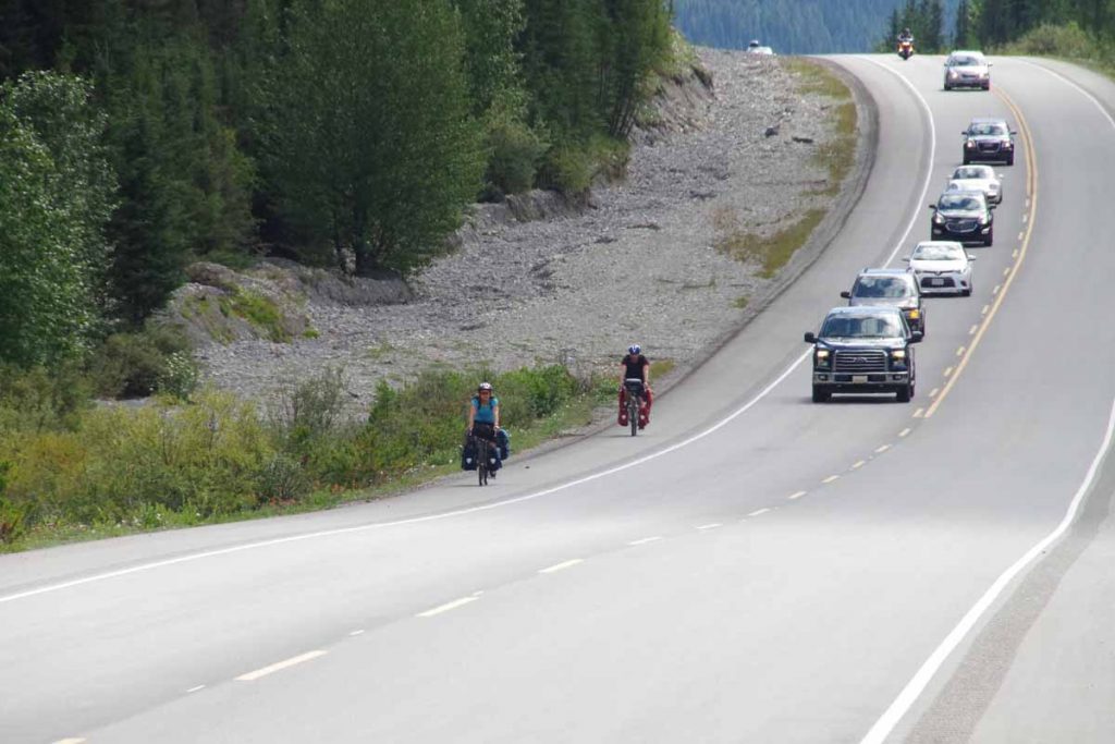
It was a three day, ~90 mile ride primarily on gravel. This time I followed the guide book directions of where to stop. Overall, it was three not extremely difficult days, through some rugged terrain. Riding started simple enough starting from Eureka. At the motel this morning were at least three riders. Chris (who you’ll see later), myself and Scott one of the Scottish riders. Scott and his other rider (David) I had met before Elkford and they had decided they had different goals – so David forged ahead and Scott was going to make an easy pavement ride to Whitefish, catch a train and spend his US holiday other than on the divide.
Day One
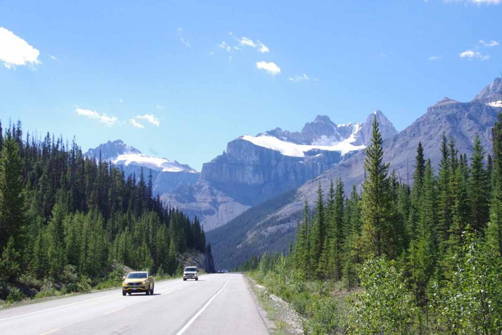
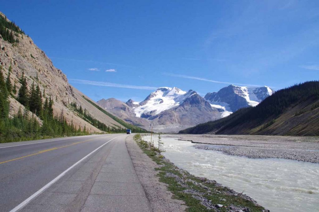
The route went for a mile along US 93 before turning to the back roads. Once again, some nice pretty and paved routes, though also with a few short hills. After 9 miles back to US 93 and then at 10.8 miles the real adventure started.
IMGP3539
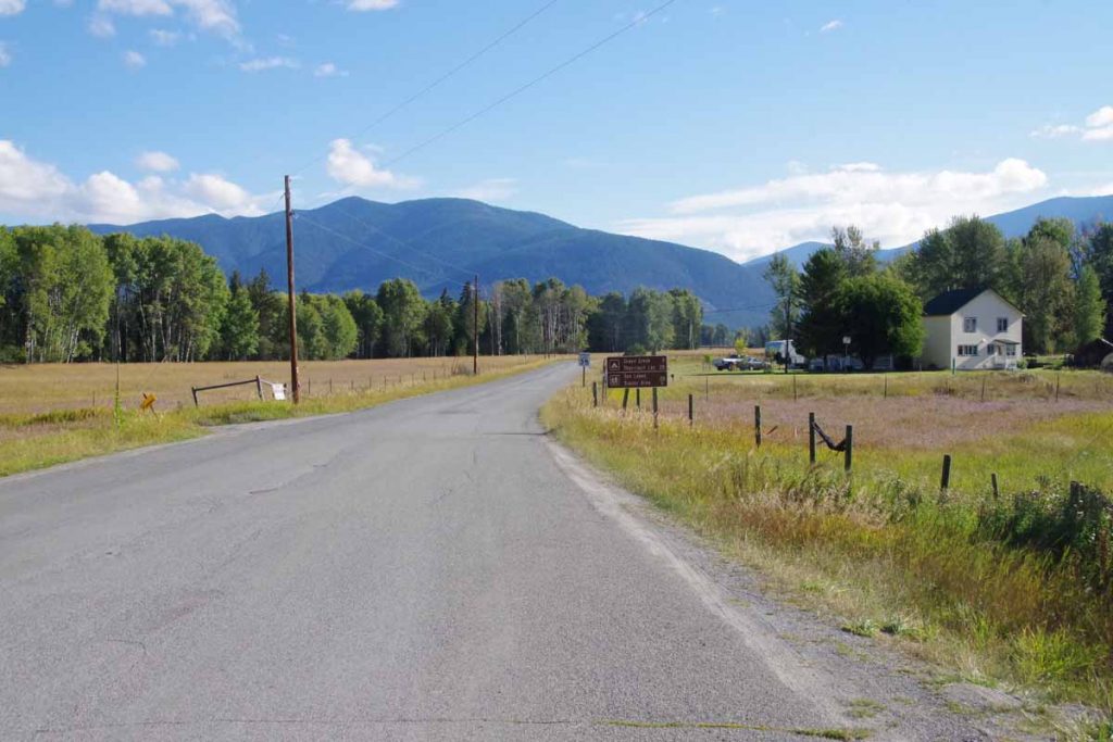
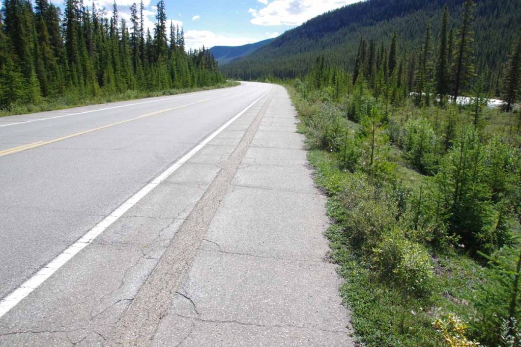
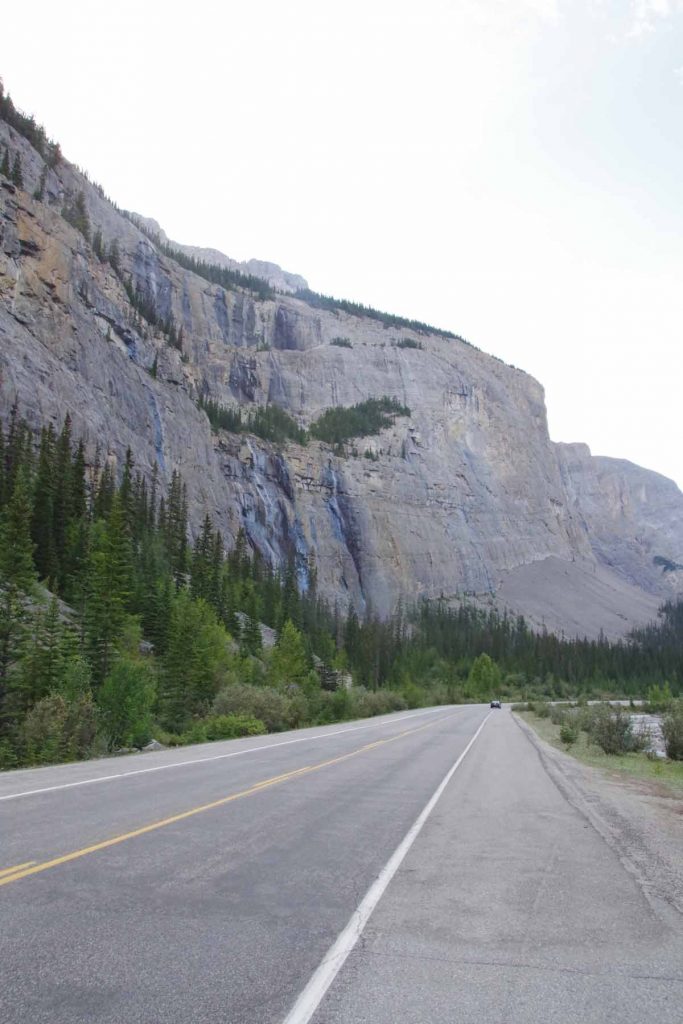
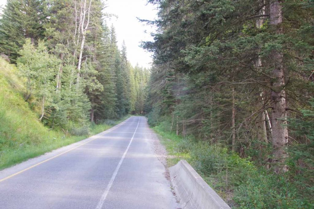
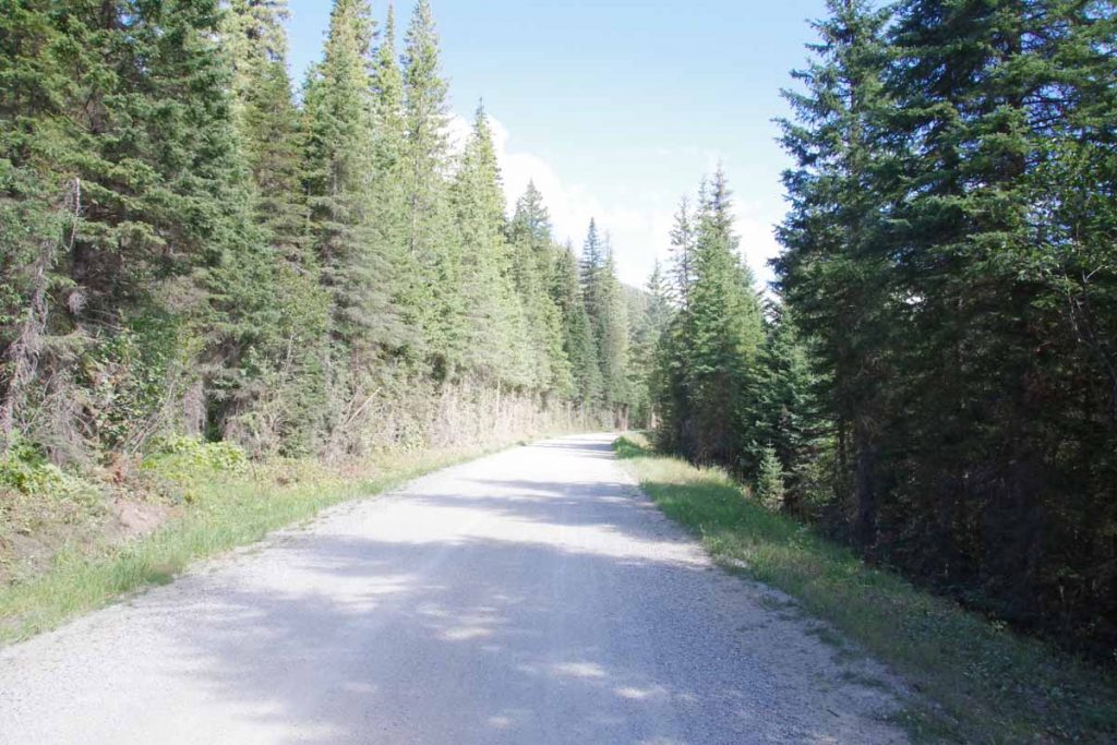
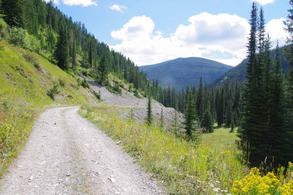
Above is the photo of Graves Creek Road. Started paved and reasonable grade.
IMGP3540
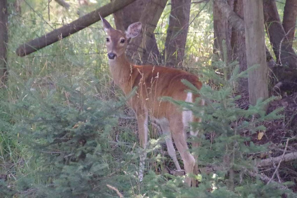
Quite a few deer in this area.
IMGP3545
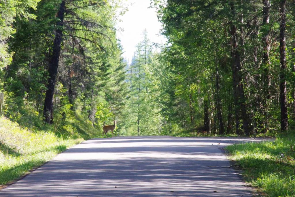
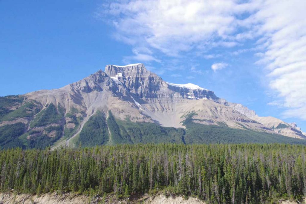
The road slowly followed the creek uphill. In total there would be ~2000 ft of climb before reaching the summit.
IMGP3549
After ten miles, the pavement ended and it became a good quality gravel road. Notice they even bothered to occasionally trim the worst of the trees overlapping the road, so can’t be so rugged yet.
IMGP3550
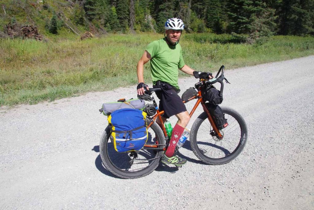
Chris who had been in motel this morning, also came past. Chris is from Oberlin, OH area and had ridden the southern half of the Great Divide last year and was riding other bits this year. He cautioned the NM section was particularly challenging as water was not always found even at the infrequent locations shown on the map. (The more I hear of NM section, more I suspect I’ll be on paved roads and not GDMBR by then).
IMGP3551
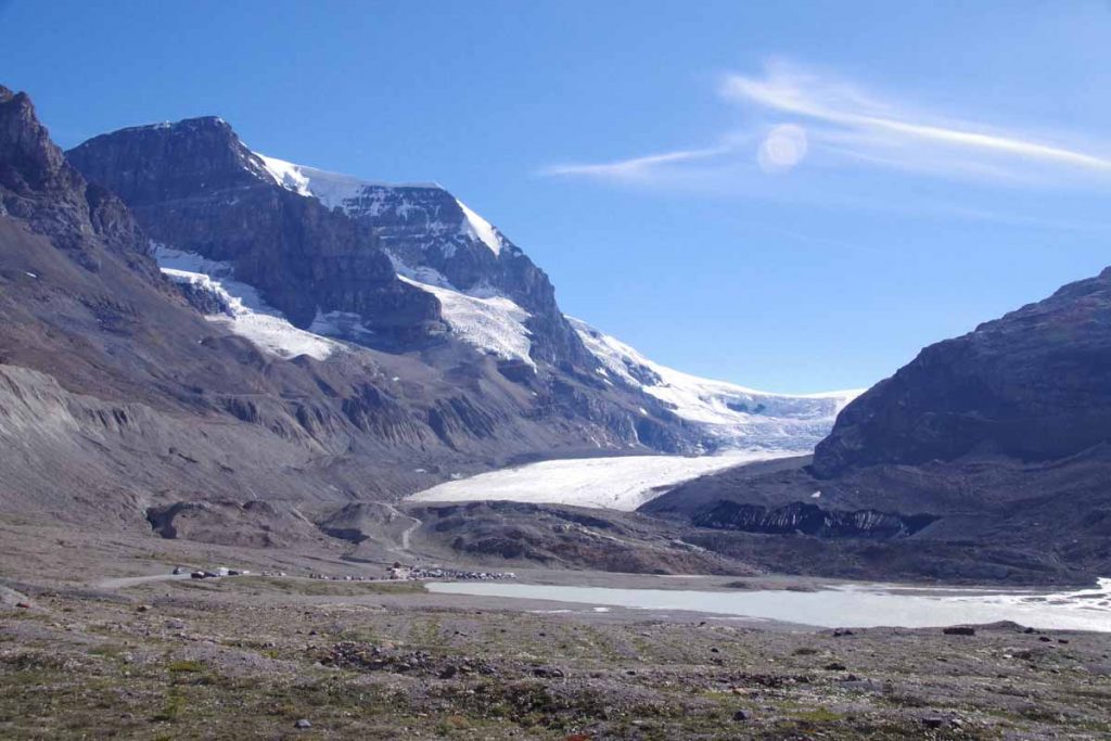
After a few miles of good gravel, the road steepened and much bigger climbing began. I decided to walk the last two miles to top of Whitefish Divide. On the way down is where I encountered the bear mentioned above (sorry no photos, both myself and bear were excited enough).
aIMGP3553
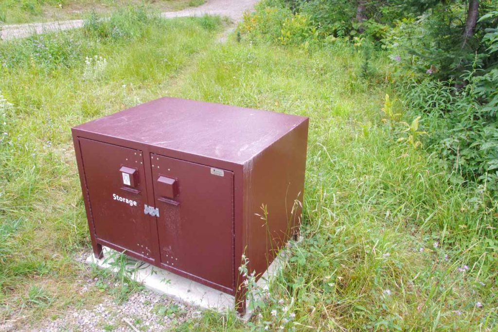
From the top, mostly descent of 5.6 miles and there was Tochuck Campground. While it was still early afternoon, I decided to stop partially since I’d decided to follow the guidebook and partially since there wasn’t an immediately obvious campground close, particularly one with bear containers.

Later that evening another GDMBR cyclist came through. She was a young woman who was probably slower than me, but with a lot of drive. Only cyclist I had met so far that didn’t take the Fernie alternative.
Day Two
IMGP3554
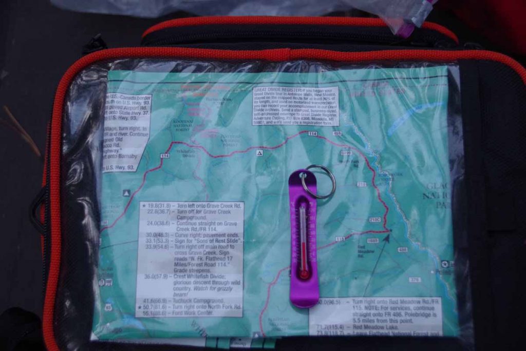
It was cold overnight. My little thermometer above was still above freezing, but my bike computer recorded -2.7C (27F). Campground was hidden in the trees and I mostly got breakfast before sun really reached down.
IMGP3555
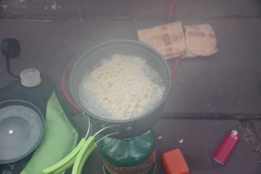
A fairly common breakfast is ramen noodles, tuna and oatmeal (not together).

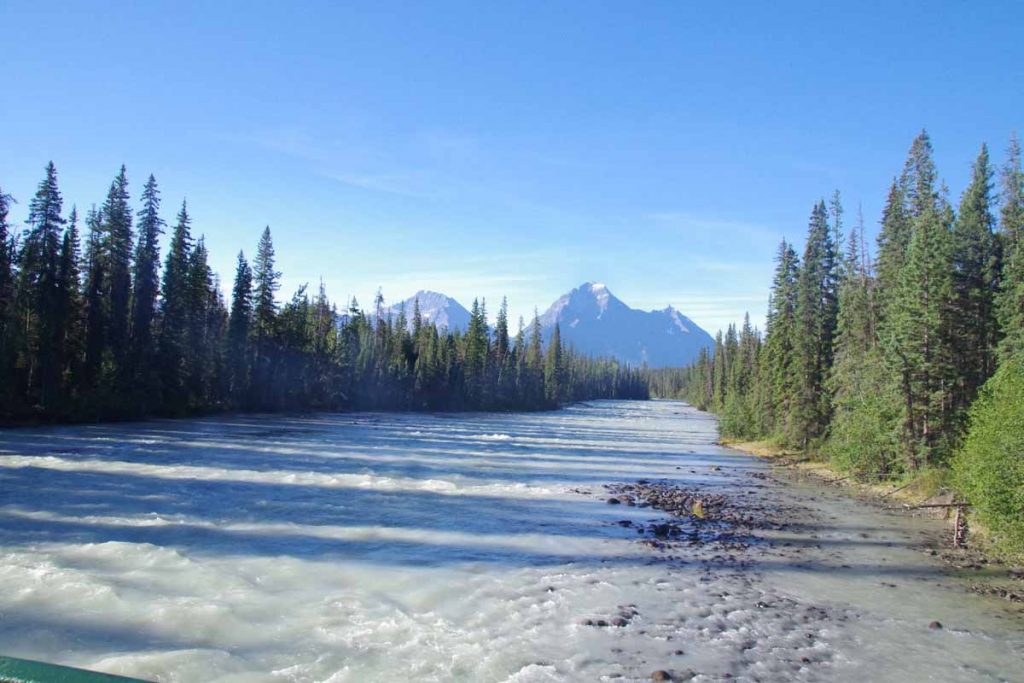
From here I followed the road downhill for 9 miles. Slowly it became less rocky which was nice. At the bottom, the road intersected with the North Fork road.
IMGP3558
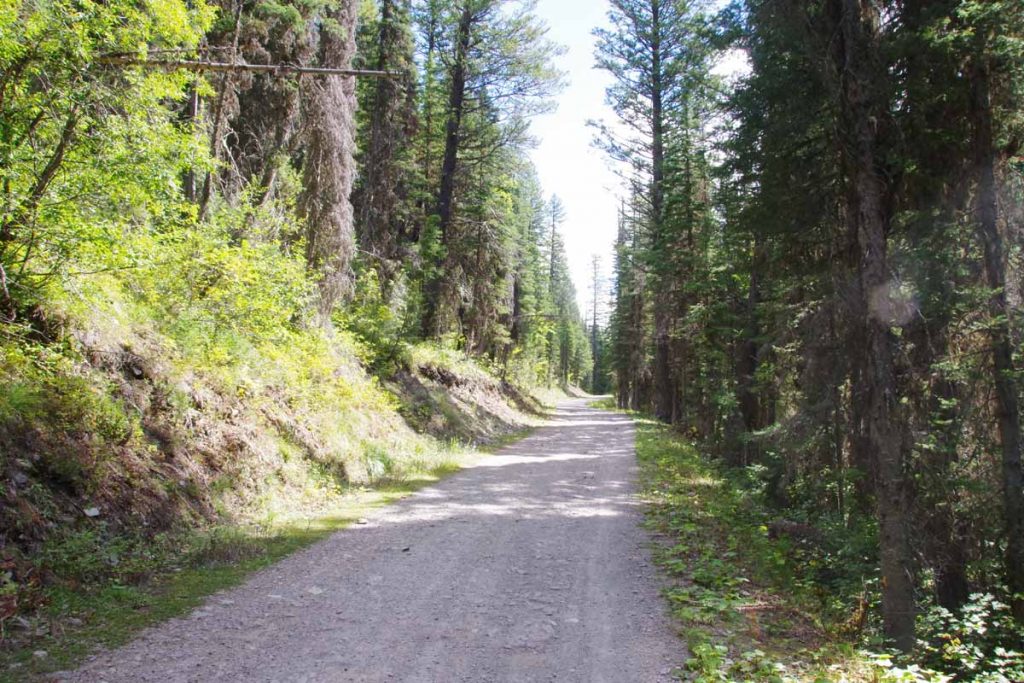
This road was wider, but at least as rough. Also surprising how much “No Trespassing” signs as well as private cabins were found here. In hindsight I was glad I’d stayed in the campground since not clear it would be easy to just camp beside the road without being on private property.
IMGP3561
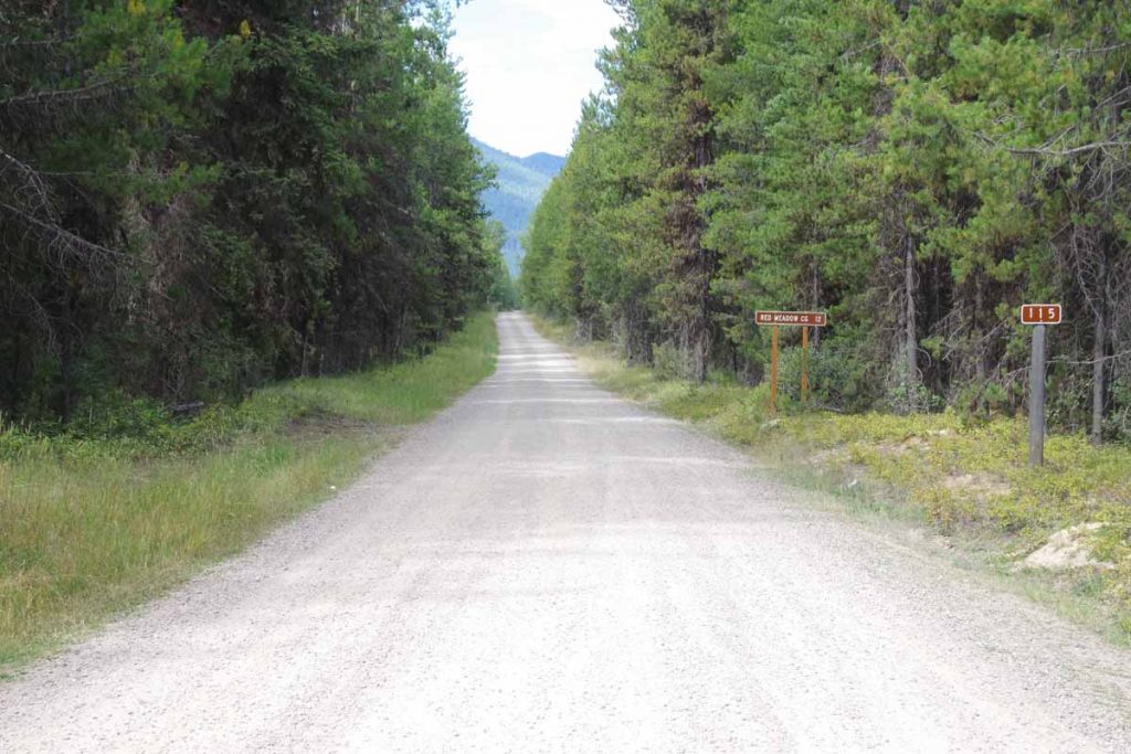
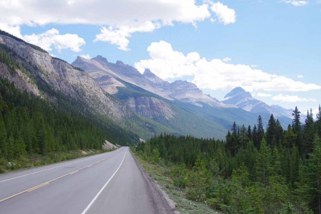
At the 18 mile mark, the climb started up Red Meadow road. This would be ~1500ft spread over a dozen miles. Both the road surface and the climb were surprisingly nice. Except for the last two miles, I could just go into lower gear and slowly pedal my way up.
IMGP3562
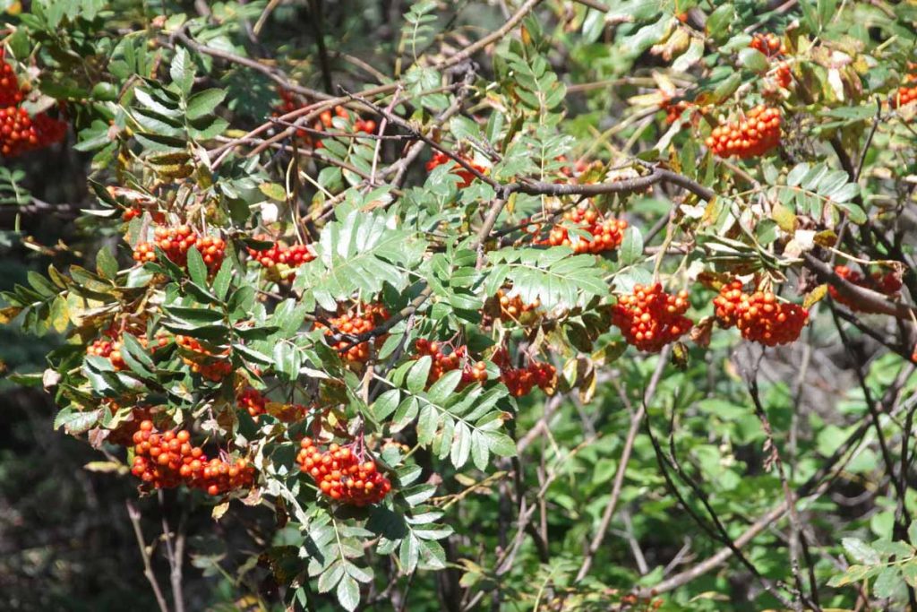
These berries were found along the way.

Again, it was early afternoon, but decided to follow the guidebook again. It got cloudy and briefly rained on two occasions. Otherwise, it was nice camping near Red Meadow Lake. They also had bear containers here.
IMGP3564
In the evening it rained again.
Day Three
Cold morning. There was ice on the tent and ice on the picnic table.
IMGP3566
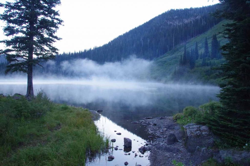
Some mist coming up from the lake shortly before sunrise. I thought I might wait until the sun came down the mountain.
IMGP3567
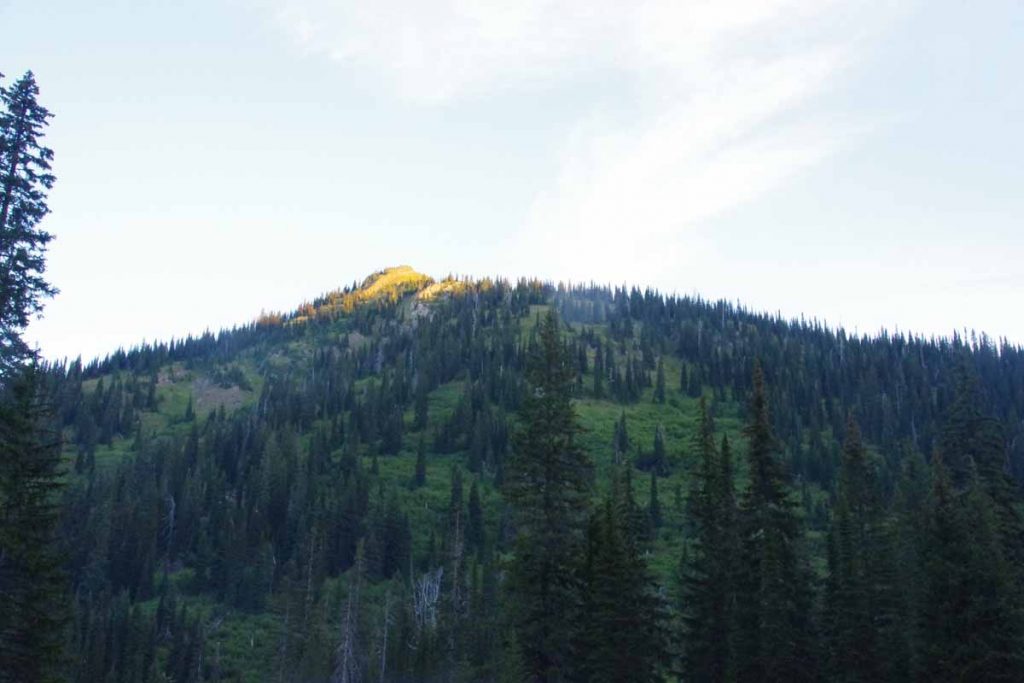
However, even though the sun hit the highest peaks close to sunrise, nearly two hours later it still hadn’t gotten to the campground, so finally gave up and packed in an icy tent. Definitely has me cautious about too much camping at elevation.

My bike computer recorded -1.7C (29F) even at 9am when I started, so expect it was a few degrees colder before then. My sleeping bag is warm enough but still a bit chilly to ride early in the morning. The initial descent was rocky again most of the first 5.6 miles to Upper Whitefish Lake. After that it got better and was predominantly downhill.

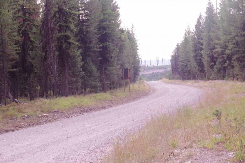
At 22 miles I came to pavement again.
IMGP3570
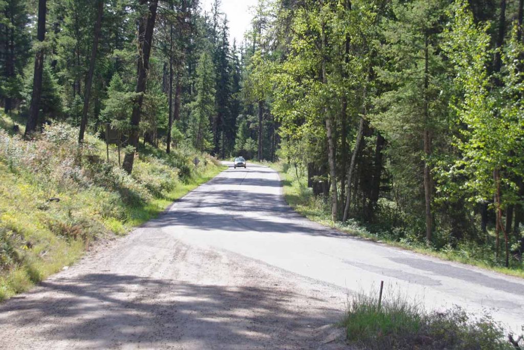
Hooray! However, a few shorter little hills to climb along Whitefish Lake and I was in middle of downtown. Now some errands to take care of:

  • Glacier Cyclery replaced my pedals. Best guess is the horrible racket heard before Eureka was one of the bearings falling apart. Still have slow leak in back tire, but will figure this out tomorrow before departure.
  • Went to post office to pick up a SIM card I had let Amazon send “General Delivery”. Unfortunately, when the sender uses UPS, that doesn’t seem to work and UPS bounces it back as “invalid address”. Only cost me $1 to try and Safeway nearby had the same SIM card kits
  • Connected with few people I know in the area and made arrangements to meet up.

Overall, I’m glad I did this three day out and back over the Whitefish Divide as well as tried to follow the guidebook list of three easy days. From here, I’m considering doing a bit more main highway rather than GDMBR, though I’m also told the immediate next bits are not that difficult.

Posted in Montana, USA | Tagged bear, rocky road

Banff, Icefields Parkway

A bicycle ride across the Americas Posted on 2016-08-17 by mev2016-08-18

aIMGP3438
The Icefields Parkway is a popular and scenic route from Jasper to Lake Louise. Commercial trucks not allowed and hence lots of tourists in RVs, cars and buses. Also a fair number of bicycles both supported (i.e. unloaded) and unsupported. I had made reservations for each night and hence knew I had to climb 1000m+ the first day. Overall it was a great three day ride – with many photos to show below.
Day One
IMGP3396
It was 4C (39F) starting out but quickly warmed up during the day. The route initially started along the river and was flat, but at 5km after crossing a glacier stream started to climb.
IMGP3398
Near the top was a beautiful lake, perfect for early morning reflections.
IMGP3401
As I neared the end of 93A, I came on this group of rafters getting their pre-trip briefing. At 15km was junction with Icefields Parkway as well as Athabasca Falls.
IMGP3403
IMGP3406
The falls didn’t drop far (12m, 40ft) but had lots of fury to them.
IMGP3409
After this followed the river slowly uphill with scenery such as photo above. At 40km was Sunwapta Falls and a lodge here and chance to get lunch.
IMGP3412
Most of the time the shoulder was fine, though did occasionally suffer from two problems: (a) as seen above, some strong lateral cracks that would cause a “thump, thump, thump” as I cycled over them. Interestingly the way to avoid this was to cycle in that groove in the middle and (b) when passing zones appeared the road didn’t get wider but instead the shoulders went away.

However, not to complain.

It was a slow steady climb to ~74km where suddenly the grade increased to ~8%. I pedaled some and also walked a little of this hill.
IMGP3419
Near the top was this tourist attraction where tourists could walk out onto the skybridge that jutted some 250m+ over the valley floor below. After this sky bridge a short descent and last little bits going to the Columbia Icefields.
IMGP3421
A good picture of the end of the icefield glacier below.
IMGP3424
What I thought was interesting was almost immediately the river started large from bottom of the icefield. Also here was a large “Icefields Centre” with cafeteria and chance to refuel at end of the day. After this just 8km including 4km to top of the first pass (2035m) and boundary between Jasper and Banff Parks.
IMGP3426
Overall a tough but satisfying day with over 1000m of steady climbing from Wabasso Campground to and over the pass.
Day Two
I stayed overnight at the Hilda Creek Hostel. A nice little place with dorm and kitchen building. The hostel itself was “unattended” meaning they emailed you a lock code and you needed to make sure you kept everything clean. There was another party of three there, friendly folks who also gave me some water (there river was fresh glacier melt and lots of sediment). The dorm was a bit dark, so I actually set up my tent outside.
IMGP3427
In the morning after the sun reached over the ridge, I set off for the day. First 40km would be downhill and then I would climb just as far back uphill over the next ridge.
IMGP3429
Steep descents down into the Saskatchewan River valley and also several degrees colder as sun hadn’t quite reached. Photo above coming to the “weeping wall” where small rivulets came down the steep rock face.
IMGP3433
Many more dramatic mountains to pass, I stopping taking photos of all of them. At 40km was Saskatchewan Crossing, a large commercial place and chance to get early lunch.
IMGP3437
Tour buses were definitely stopping here and the line to restroom would suddenly grow as busloads queued up.

After lunch another 2km to cross the bridge at 1394m and from then another 34km of climbing back up to 2088m. Had a good climb to start and fortunately, not quite as steep as day before.
IMGP3442
I did see some cyclists such as ones below, but you can see it was fairly busy.
IMGP3439
Pretty close to the top was brief area of construction (and exception to the “no trucks”)
IMGP3448
After this the rest of the day was mostly downhill past several deep blue lakes.
IMGP3451
IMGP3455
Here was Crowfoot Glacier.
IMGP3456
End of the day was another hostel, this time Mosquito Creek.
IMGP3459
This hostel had more guests as well as someone attending. Nice location and good place to relax.

Day Three
Woke early in hostel and careful not to wake other campers, made my breakfast in the cook building. Packed my gear and was on the road by 8am. It was still cool in the valley.
IMGP3463
The predominant direction today was downhill with the first 27km going down to Lake Louise Village.
IMGP3464
Just before the village, the Icefields Parkway officially ended and there was a short stretch of Trans-Canada Highway (route one). Apparently, I missed the separate bike path but the (interstate-type) highway was fine. One interesting thing this highway had done was erect huge fences everywhere to keep moose/elk etc off the highway. Instead they were directed onto animal crossings such as the ones above.

I stopped in at the visitor center in Lake Louise and got my Banff National Park information. Also found a chance to upgrade my planned campground to a hotel that wasn’t outrageously expensive. I considered cycling (200m+) up to Lake Louise but decided that could wait. From here the next 60km was along the old route, now named Bow Valley Parkway.
IMGP3465
To help keep the animals from going onto the highway, they had “Texas Gates” as shown in sign above. What is a Texas Gate? Well looks a bit like below.
IMGP3466
Yup, in Texas they would be “cattle guards”.

The Bow Valley Parkway as a quiet route with several information signs and stops along the way.
IMGP3469
This one told us about bears (I only saw one on the second morning of the Icefields ride).
IMGP3471
The route roughly followed the railway and the Bow River.
IMGP3474
This sign and nearby statue was interesting since it talked about internment camps and road crews, but this time during the first world war and likely Ukrainians from the parts of Austro-Hungarian empire.
IMGP3477
In a few places, the road split and each direction was its own road. However, look at the nice wide striped shoulder on this one.

Near end of the Bow Parkway, the road rejoined the Trans-Canada and this time, I did find the bike path that led on to Banff. Nice little parkway that then went past a few lakes.
IMGP3479
To arrive at Banff itself.
IMGP3480
Here I found my way to hotel and then walked around downtown. Tomorrow a rest day here to get a few errands such as laundry done and otherwise prepare for the Great Divide cycling route. Nice to have made it to Banff.

Posted in Alberta, Canada | Tagged bear, descent, icefields
©2023 - A bicycle ride across the Americas - Weaver Xtreme Theme
↑