Two days of cycling brought me further to Teslin a small community 180km away from Whitehorse and on the shore of Lake Teslin.
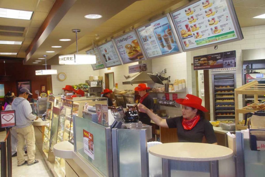
I was well rested as I left the big city of Whitehorse behind. I’m told the photo above is the last Tim Hortons I will see until I reach Smithers, ~1200km from Whitehorse. Also last bike shop. Hopefully won’t need either a bike shop or Tim Hortons before then.
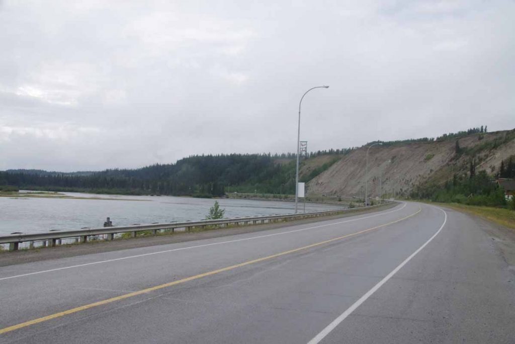
Overcast skies but pretty much stayed dry all day. The road started up along the Yukon River and then quickly climbed the escarpment to reach the Alaska Highway at 7km. Went along some roadside businesses but overall Whitehorse is fairly sprawled out. At 21km I took a break at the cutoff to the Klondike Highway I had taken yesterday (in the bus) that led to Carcross and Skagway. There were signs here that told which weekends were “non-motorized” in the winter, presumably to give cross country skies some time without snow mobiles as well.
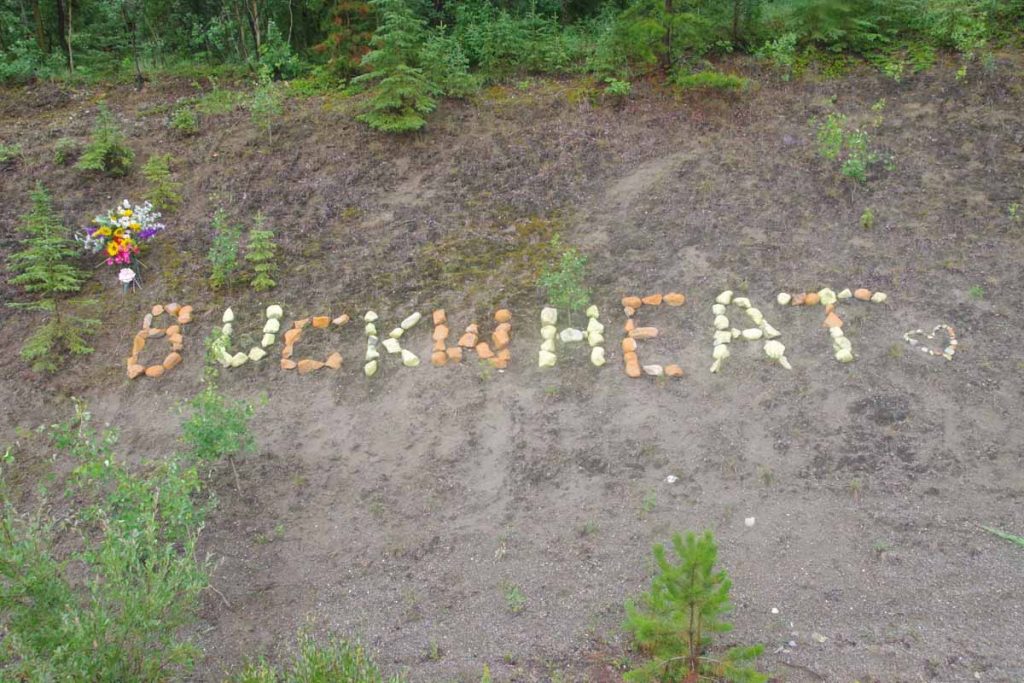
Not sure who Buckwheat is but friends made a nice memorial along the road.
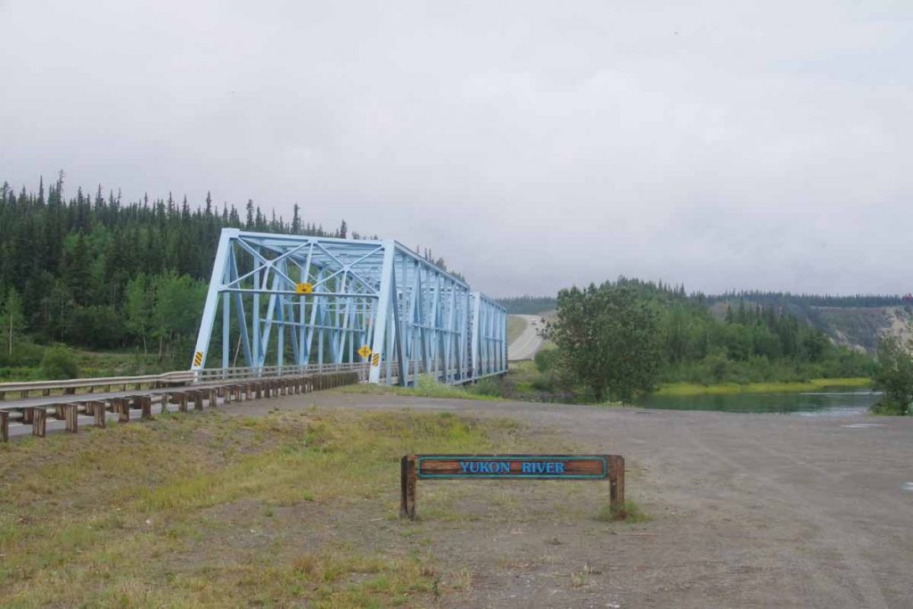
At 32 km the road descended and crossed the Yukon River. Nice little park here as well as boat ramp. The road then paralleled Marsh Lake for next 30km.
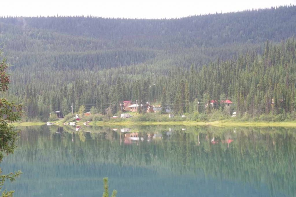
Some was right along the lake, but most seemed to climb and descend little hills along the banks.
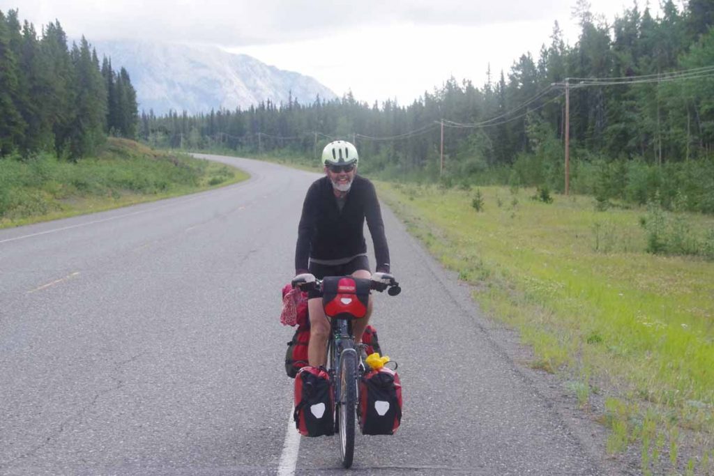
I saw three cyclists the first day – coming the other way. Above was one of a brother and sister who were cycling up to Whitehorse and then Inuvik. Prior to that also came across Paul who was also cycling to Inuvik. It was nice to stop along the way and compare notes about upcoming road conditions and services.
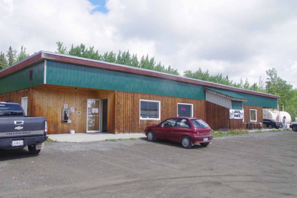
At 84km was Jake’s crossing and a chance to get a late lunch.
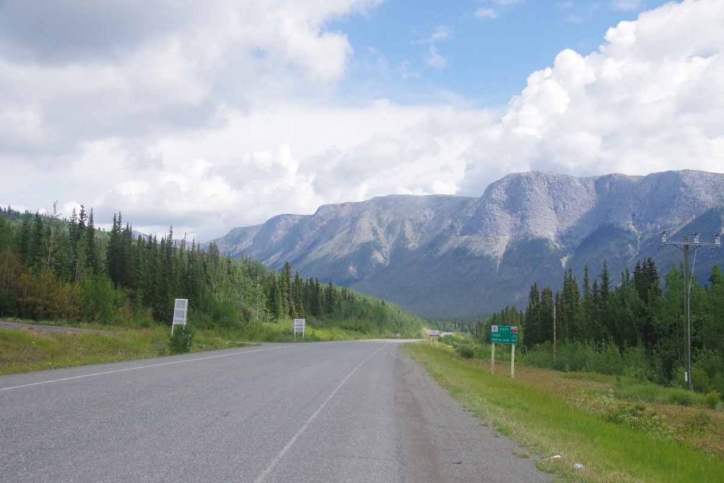
From here I cycled 24km further to camp at provincial campground: Squanga Lake. There were spots for RVs and also a separate tent section. It was interesting to see who arrived in the tent section:
- Matthias from Leipzig was another cyclist who started after I had from Deadhorse and was headed to Calgary. He had gone longer miles per day and actually leapfrogged ahead but then spent two rest days in Whitehorse so rode from there this first day as well.
- There was a German fellow with a canoe who had paddled from Whitehorse along the rivers/lakes was now making his way back.
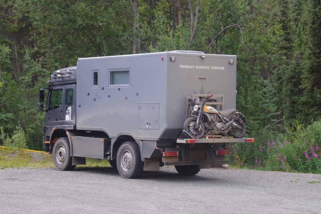
- There was a German couple in the overland vehicle below. They had gone up to Prudhoe Bay and were now slowly winding their way south, eventually also via Latin America.
All German speaking and all on an extended holiday. I get the sense most of those in RVs are US as well as a reasonable share of those on on motorcycles. However cyclists is a smaller share of those from US. On several occasions so far, folks initially guess my nationality as Canadian. Not sure why, but perhaps I’m picking up lingo, eh? Or perhaps just fewer of my age group doing these types of extended trips?
We got some rain overnight, but campground had a nice cooking shelter so bike was dry.
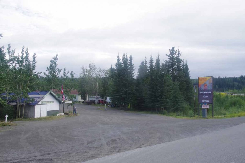
On second day, had a breakfast in camp and then cycled 20km down the road to reach a second breakfast at Johnson’s Crossing. Nice RV park and café here. It was located at the Teslin River Bridge.
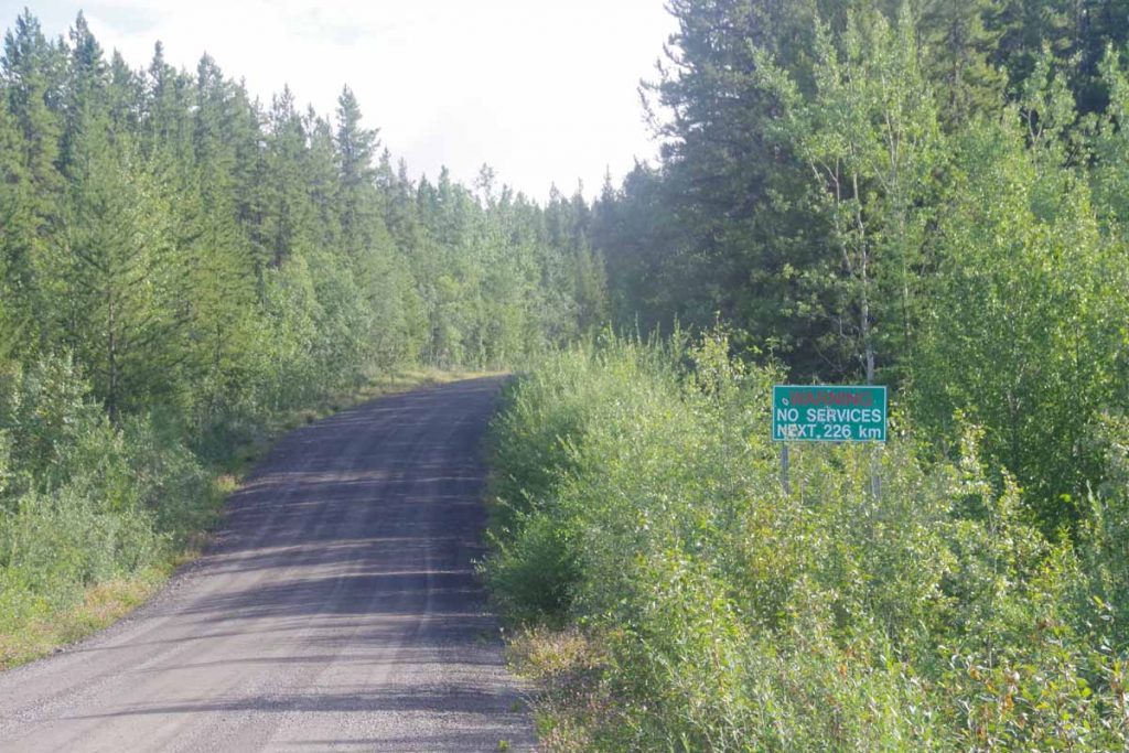
Also the intersection with the Canol road. A short-lived project conceived to build a pipeline from Norman Wells some ~500km away and pump through the wilderness. The road and pipeline were abandoned in 1944 after the war scare passed and more economical sources of oil could be found. However the first half of the road is still here as a rugged road.
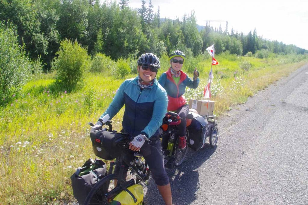
A little bit later I came across Shon and Jihyun a Korean couple cycling on a tandem. Their bags said “Alaska/Argentina” and they had started in Ushuaia three years ago and were on their way to Prudhoe Bay. Wow! It was fun get a few glimpses of their trip.
From here cycled the last bits to Teslin. The second day was a shorter day of only 72km and a somewhat easier day before doing a three day stretch across to Watson Lake.
