↓
 

A bicycle ride across the Americas

from Deadhorse (SCC) to Ushuaia (USH)

  • Home
  • Plan
  • Blog
  • Photos
  • FAQ
    • Why?
    • Where?
    • What next?
  • Map
  • Equipment
  • Calendar
  • Countries
    • USA
      • Alaska
      • Montana
      • Wyoming
      • Colorado
      • New Mexico
      • Arizona
      • California
      • Texas
    • Canada
    • Mexico
    • Guatemala
    • Honduras
    • Nicaragua
    • Costa Rica
    • Panama
    • Colombia
    • Ecuador
    • Peru
    • Bolivia
    • Chile
    • Argentina
  • Weather
  • Links
  • Contact
Home→Tags other cyclists

Tag Archives: other cyclists

West Yellowstone

A bicycle ride across the Americas Posted on 2016-09-06 by mev2016-09-06

Two days cycling brought me to West Yellowstone. Both days with cooler temperatures, but weather forecasts look good from here.

Day One
IMGP3656
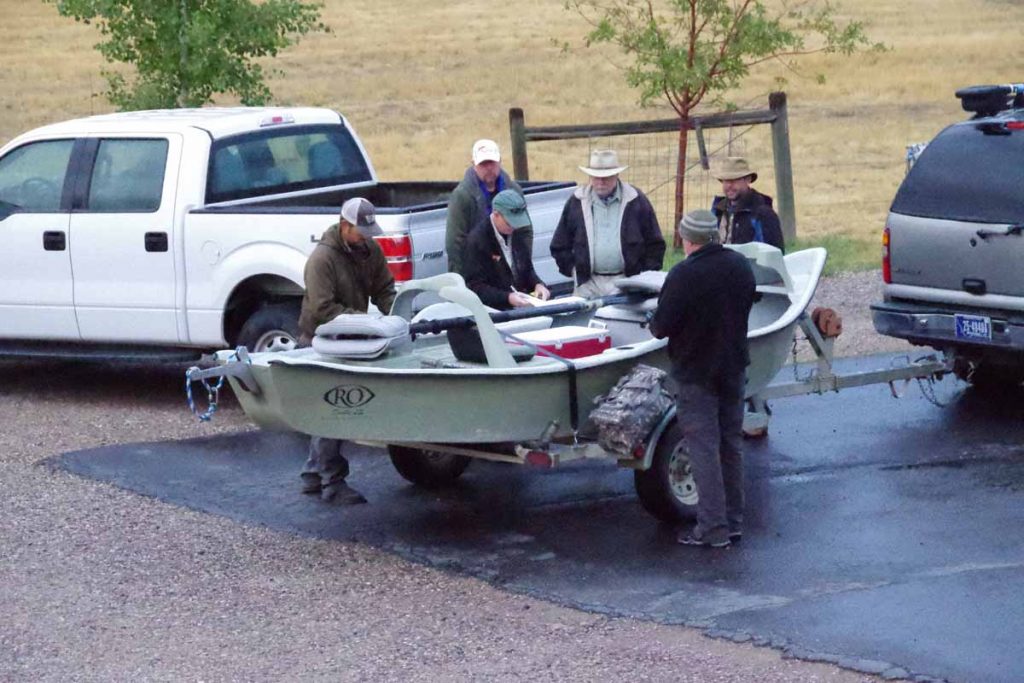
Fishermen were getting ready early as I prepared for a cold day of cycling following my rest/rain day.

Sunday had been cold and wet in Ennis. Good time to drop by laundromat and otherwise take it easy in Ennis. Wet weather was forecast to continue Monday morning, but other than periodic showers, Monday was definitely better than Sunday.
IMGP3658
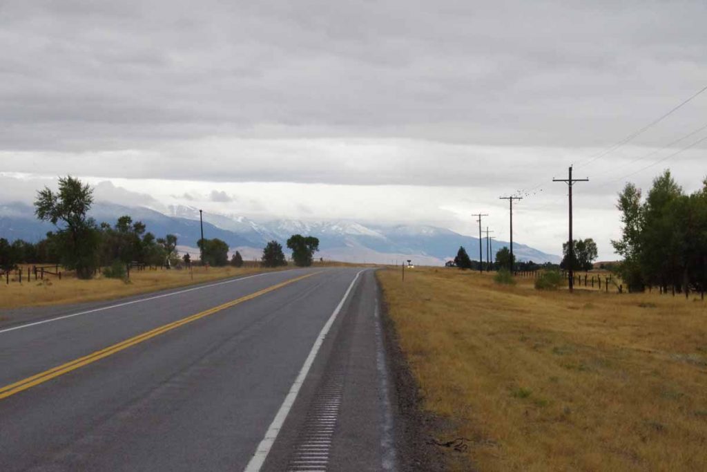
Photo above gave a nice overview of the day. Water in the rumble strip divots and snow up on the higher peaks. The distance was only 38 miles but included 1100 ft of net climb and some headwinds on the second half of the ride.
IMGP3660
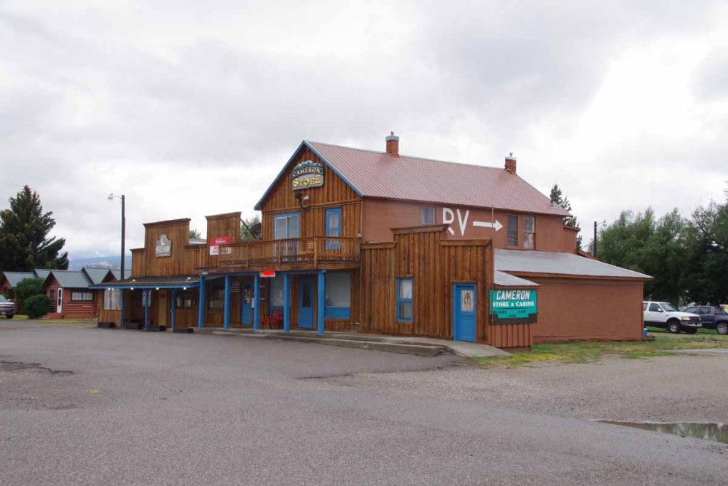
At 11 miles was Cameron store which was closed for Labor Day. However, it was still a good spot to shelter from the wind and eat a snack. After that, continued to follow the road as it slowly followed the Madison River.
IMGP3662
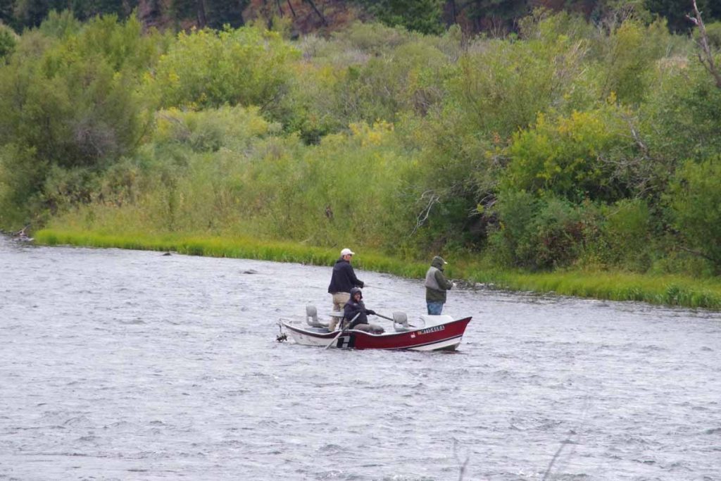
There were several boat ramps with access to the river. I saw a number of boats like these. Seemed like one person was guiding the boat with oars while others might stand in the boat with their fishing rods. Stopped briefly at a rest area at 34 miles and then cycled the last bits to a placed named “Driftwater Resort”. It was still overcast and cool (7C or 45F) when I arrived but later in the afternoon the sun came out again and it warmed a few degrees.

Overall Driftwater Resort was a nice overnight. In the evening, the bar and grill opened and I had a large enough pizza that I ate two thirds for dinner and left the rest for breakfast.
Day Two
Overnight frost but bright sunshine had me hopeful it would quickly warm up. Some recent snow on the higher peaks.
IMGP3664
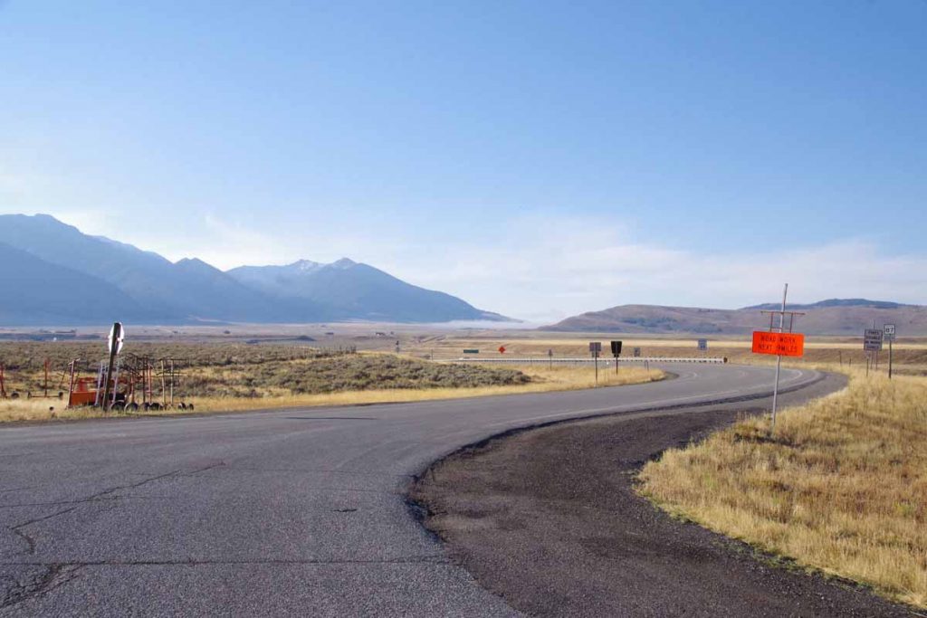
At 2.5 miles the road junction split, though both routes were just about the same distance. This was the other road leading south over Raynolds Pass and briefly through Idaho.

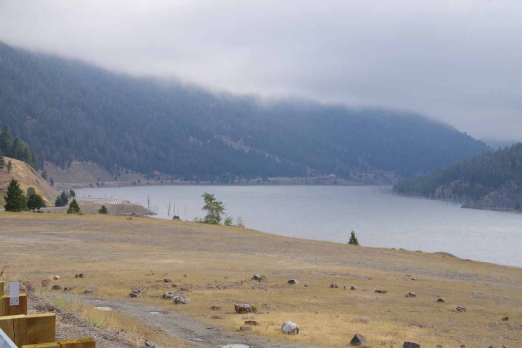
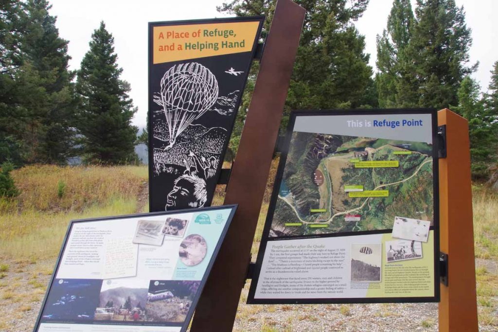
The road I took followed the river and then went via Earthquake Lake and Hebgen Lake. There were multiple signs along the way about the August 17th, 1959 magnitude 7.3 earthquake that hit the area (wikipedia description). Rock slides killed 28 people and blocked the Madison River to create Earthquake Lake. It was interesting understanding more about the story as I cycled past the signs.
IMGP3668
Here is Earthquake Lake. Notice that it had become cloudy and quite a bit cooler, so back to ~2C (35F) for most of this stretch.
IMGP3670
Here was a sign that described Refuge Point. The road had been blocked and survivors made their way here. The mural also shows smokejumper firefighters who parachuted in to help.

After Earthquake Lake, came past the dam for Hebgen Lake (which fortunately held during the earthquake).
IMGP3672
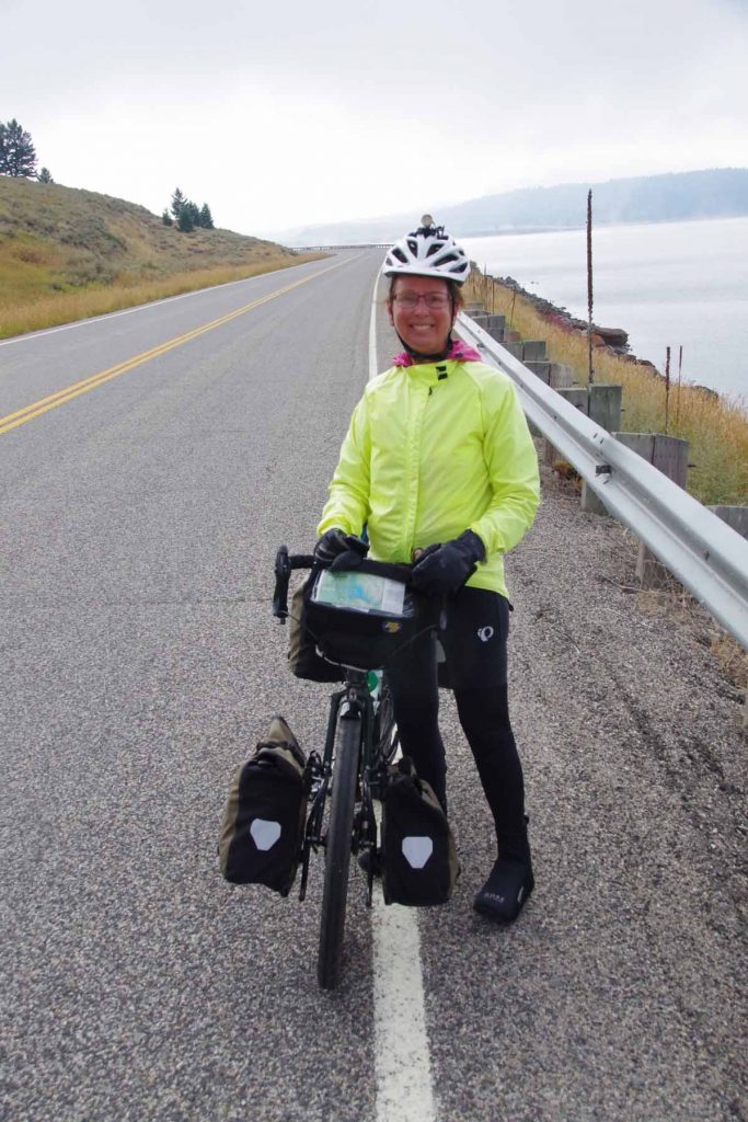
Met a touring cyclist on her way riding from Canon City, CO to Corvallis, OR.
IMGP3673
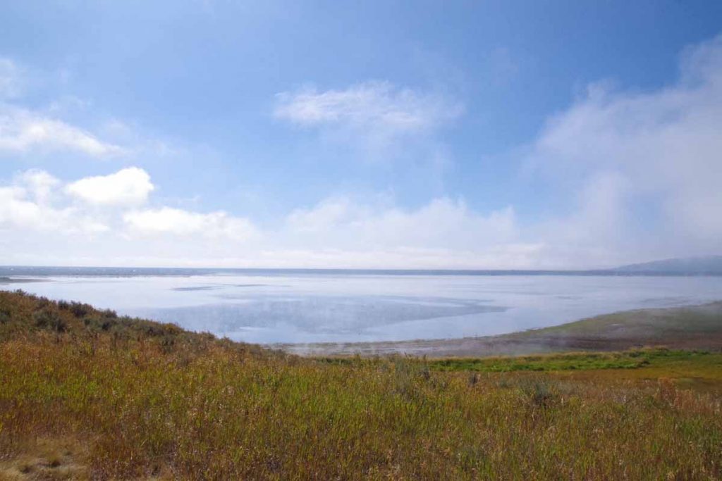
Here was another view of Hebgen Lake as the worst overcast had cleared and it finally started warming up. Still interesting to see in parts the lake was still steaming earlier as if the water temperature was warmer than the air.

After Hebgen Lake, joined US 191 and cycled the last eight miles into West Yellowstone.
IMGP3678
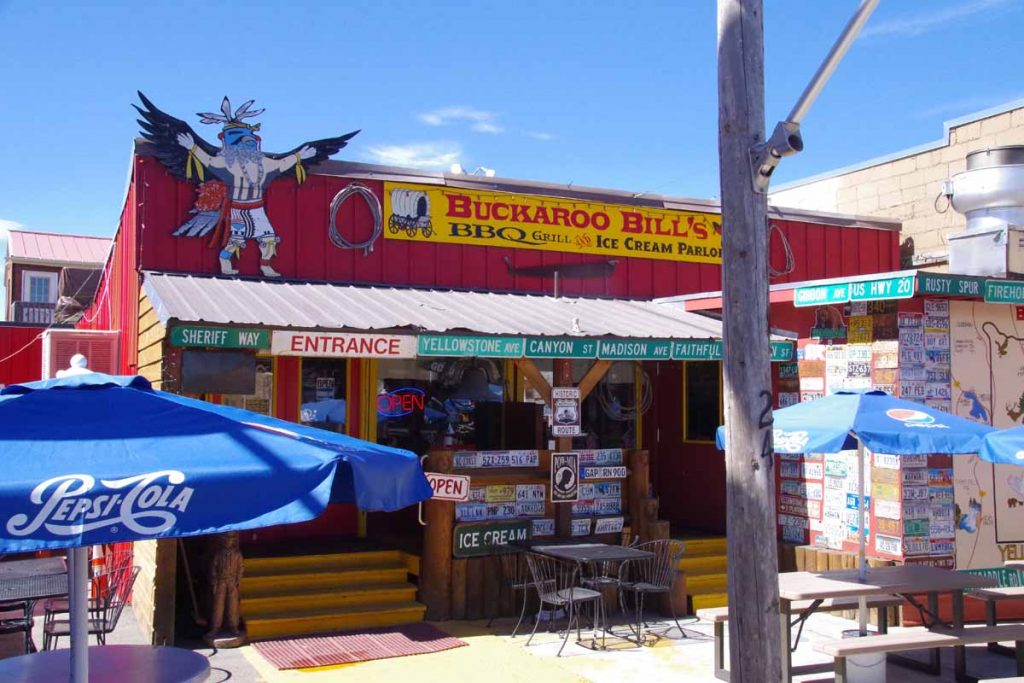
West Yellowstone is a touristy and somewhat expensive little town. I got a chance to walk around some of the shops including the local bike shop. Also stopped in the Visitor Center where I could look over the maps as next few days are planned out.
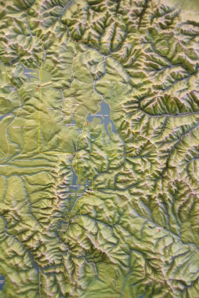
IMGP3677a
Good topographic view of the area. General plan is numbered on map above (1) West Yellowstone (2) cross into Yellowstone and camp at Yellowstone Lake (3) go south via Teton National Park and Moran, WY (4) cross Togwotee Pass and then over via Dubois, WY. In addition to being a bit hilly, this is somewhat higher elevation so glad I waited just a bit for the worst of the wet to pass through the area.

By the also passed two milestones in the ride to West Yellowstone: (1) passed 5,000km of cycling for this trip and (2) passed south of the 45th meridian – half way from North Pole to equator and also half way from Arctic Circle to the Tropic of Cancer (pretty close to southern tip of Baja).

Posted in Montana, USA | Tagged cold, earthquake, other cyclists

Swan Lake, cruising the Flathead Valley

A bicycle ride across the Americas Posted on 2016-08-27 by mev2016-08-27

IMGP3573
Today a somewhat easier and flatter day mostly on pavement. While all but the last ~12 miles were part of the GDMBR, expect this to be part of several days mostly on pavement paralleling the route rather than riding all the gravel roads. Fixed my flat tire and otherwise set up for leisurely departure from Whitefish.

Last night I visited with Tim Travis. Starting in 2002, Tim spent over a decade bicycle touring and living on the road with his bicycle. His first two years were on year in Mexico and Central America followed by one year in South America. I was familiar with Tim from following his web site from early days and otherwise on the web – and also recently re-read his first two books – and also believe Tim used my Australia web site to help plan his travels there. It was fun catching up.
IMGP3574
The first eleven miles today were on the GDMBR through back roads to Columbia Falls. I had made arrangements to meet my sister-in-law, Natalie, there for an early lunch. It was fun connecting there as well.

After lunch, I headed south and had intermittent south winds (headwinds) for rest of the day – though not as bad as I had feared when I heard of the 20-30mph SSW forecast. This area was a mix of agricultural as well as some forest with vacation homes (or perhaps permanent from people who live in resort-like setting). There was also some hay and some cattle.
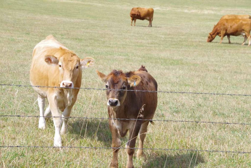
IMGP3575
These cows were friendly and curious and I didn’t even have to “moo” to get them to come over.
IMGP3576
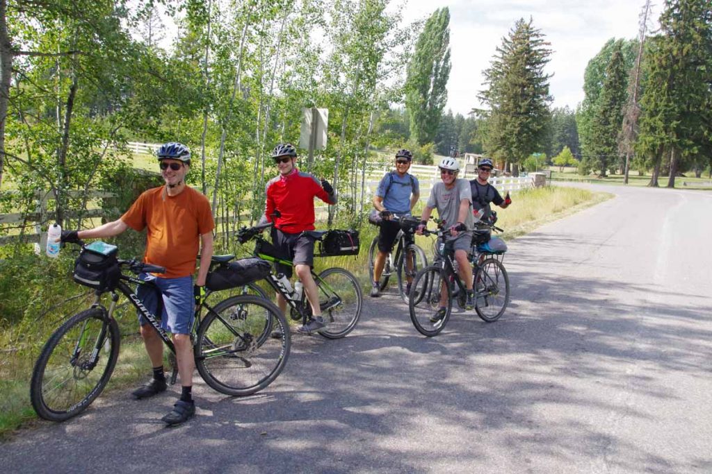
I met my group of Great Divide riders for the day on this segment as well. They initially came past me, but I was able to pass them later. They were doing a segment of the divide this year from Whitefish MT to Lima MT and had support drivers along and hence the light loads. Despite the lightly loaded bikes, I was just as fast on the flats and eventually left them behind when they stopped for lunch.

I took one stretch on “206” to avoid a few miles of gravel, but otherwise took the official route including a 2.3 mile section of gravel. It was reasonable cycling – through with my later start and lunch stop, I was a little later than normal. Stopped at 44 miles in Ferndale at gas station for bite to eat and then rode the last 12 miles to a nice B&B lodge on Swan Lake.
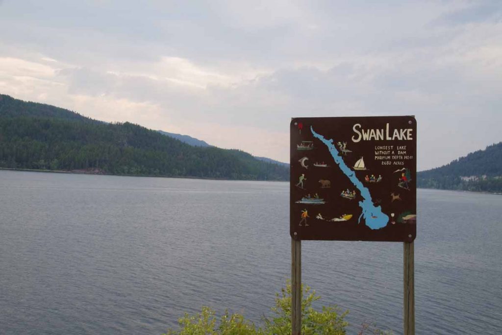
IMGP3577
Photo above is of Swan Lake and here I had left the GDMBR as it goes on other side of the lake on gravel roads that go up and down some of the hills. Supposed to be reasonable riding, though I figured I’d make some progress following the paved roads on this side. Apparently, upcoming sections near Helena and Butte I’ve got some recommendations to consider skipping the roughest bits there.
IMGP3578
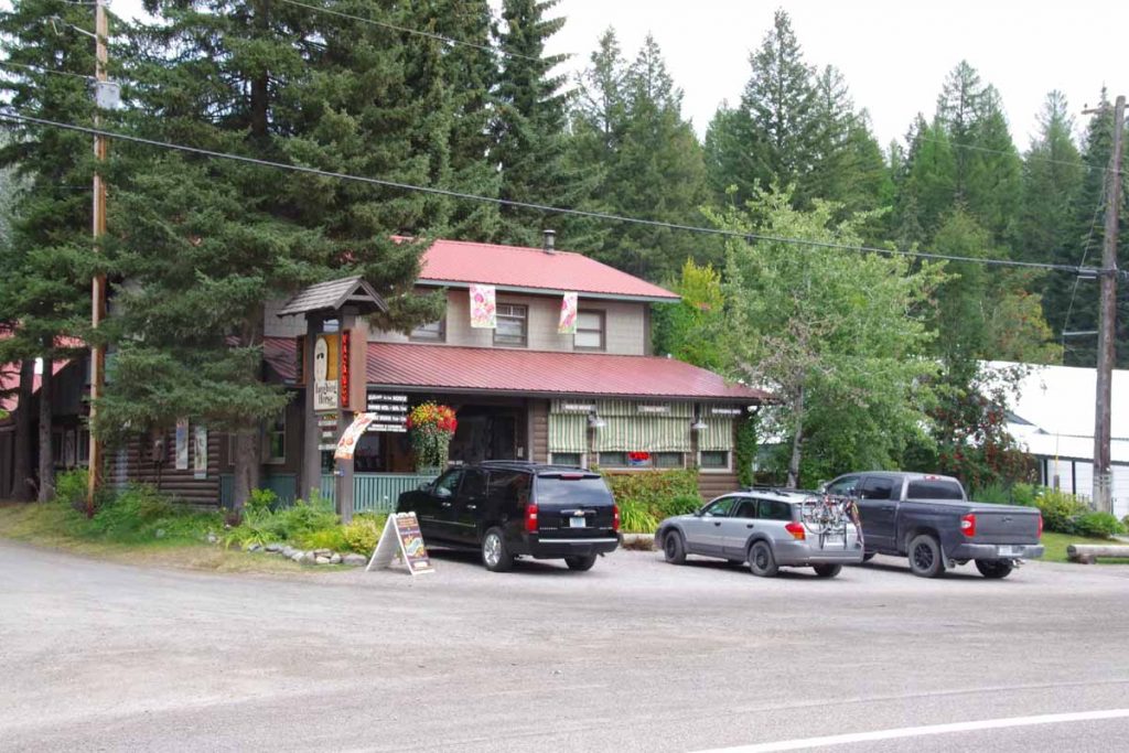
There is photo of the lodge, where also had dinner and plan breakfast tomorrow before setting off. The lodge had some friendly cocker spaniels several of which had “don’t feed me” signs around their collars.

Posted in Montana, USA | Tagged flat terrain, other cyclists

Teslin, along the lakes

A bicycle ride across the Americas Posted on 2016-07-15 by mev2016-07-15

Two days of cycling brought me further to Teslin a small community 180km away from Whitehorse and on the shore of Lake Teslin.
IMGP2937
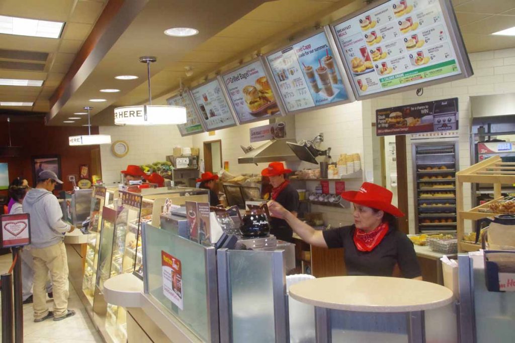
I was well rested as I left the big city of Whitehorse behind. I’m told the photo above is the last Tim Hortons I will see until I reach Smithers, ~1200km from Whitehorse. Also last bike shop. Hopefully won’t need either a bike shop or Tim Hortons before then.
IMGP3030
Overcast skies but pretty much stayed dry all day. The road started up along the Yukon River and then quickly climbed the escarpment to reach the Alaska Highway at 7km. Went along some roadside businesses but overall Whitehorse is fairly sprawled out. At 21km I took a break at the cutoff to the Klondike Highway I had taken yesterday (in the bus) that led to Carcross and Skagway. There were signs here that told which weekends were “non-motorized” in the winter, presumably to give cross country skies some time without snow mobiles as well.
IMGP3033
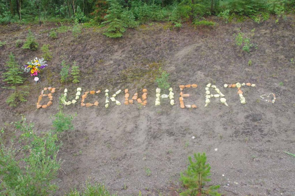
Not sure who Buckwheat is but friends made a nice memorial along the road.
IMGP3035
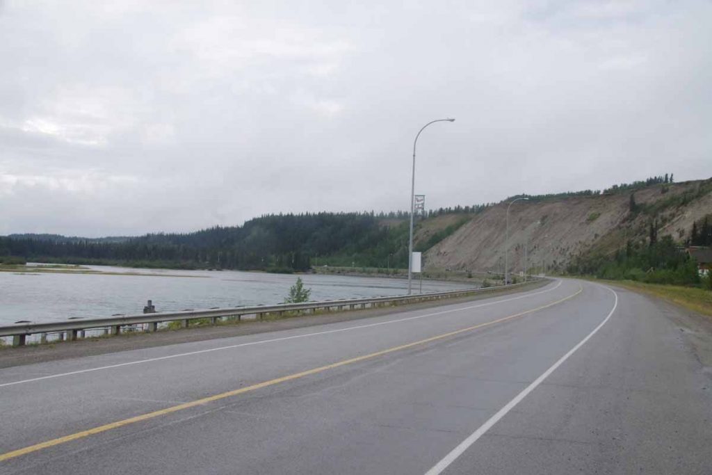
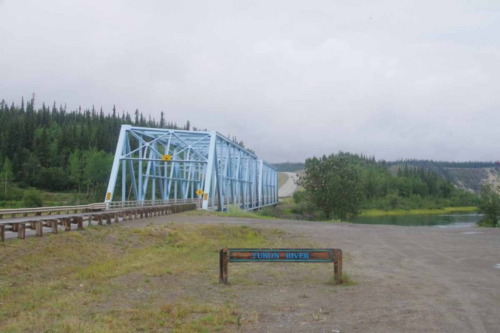
At 32 km the road descended and crossed the Yukon River. Nice little park here as well as boat ramp. The road then paralleled Marsh Lake for next 30km.
IMGP3038
Some was right along the lake, but most seemed to climb and descend little hills along the banks.
IMGP3040
I saw three cyclists the first day – coming the other way. Above was one of a brother and sister who were cycling up to Whitehorse and then Inuvik. Prior to that also came across Paul who was also cycling to Inuvik. It was nice to stop along the way and compare notes about upcoming road conditions and services.
IMGP3041
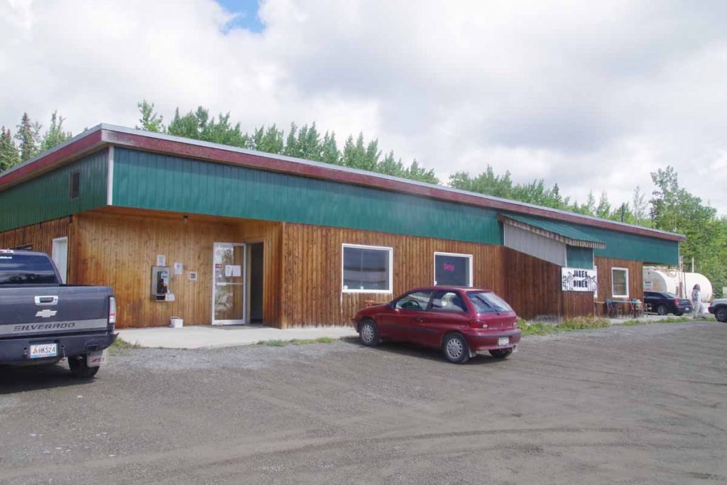
At 84km was Jake’s crossing and a chance to get a late lunch.
IMGP3042
From here I cycled 24km further to camp at provincial campground: Squanga Lake. There were spots for RVs and also a separate tent section. It was interesting to see who arrived in the tent section:

  • Matthias from Leipzig was another cyclist who started after I had from Deadhorse and was headed to Calgary. He had gone longer miles per day and actually leapfrogged ahead but then spent two rest days in Whitehorse so rode from there this first day as well.
  • There was a German fellow with a canoe who had paddled from Whitehorse along the rivers/lakes was now making his way back.
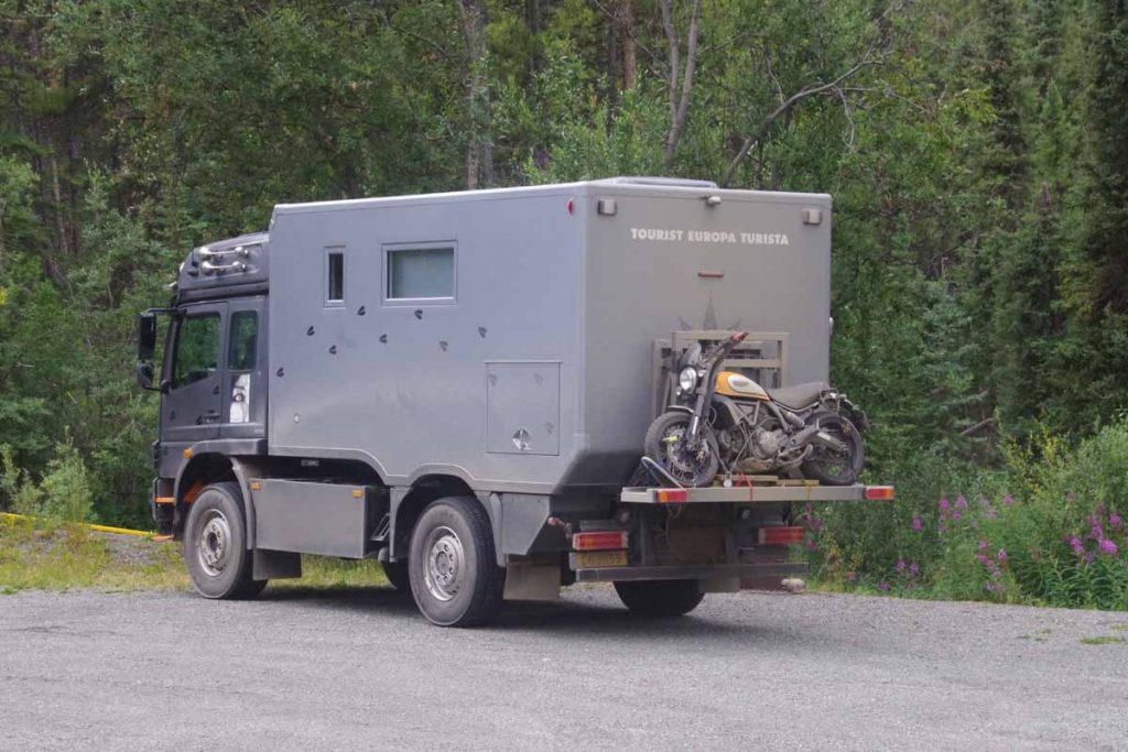
  • There was a German couple in the overland vehicle below. They had gone up to Prudhoe Bay and were now slowly winding their way south, eventually also via Latin America.

All German speaking and all on an extended holiday. I get the sense most of those in RVs are US as well as a reasonable share of those on on motorcycles. However cyclists is a smaller share of those from US. On several occasions so far, folks initially guess my nationality as Canadian. Not sure why, but perhaps I’m picking up lingo, eh? Or perhaps just fewer of my age group doing these types of extended trips?
IMGP3045
We got some rain overnight, but campground had a nice cooking shelter so bike was dry.
IMGP3046
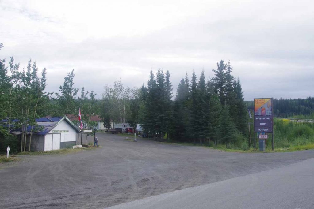
On second day, had a breakfast in camp and then cycled 20km down the road to reach a second breakfast at Johnson’s Crossing. Nice RV park and cafĂ© here. It was located at the Teslin River Bridge.
IMGP3050
Also the intersection with the Canol road. A short-lived project conceived to build a pipeline from Norman Wells some ~500km away and pump through the wilderness. The road and pipeline were abandoned in 1944 after the war scare passed and more economical sources of oil could be found. However the first half of the road is still here as a rugged road.
IMGP3054
A little bit later I came across Shon and Jihyun a Korean couple cycling on a tandem. Their bags said “Alaska/Argentina” and they had started in Ushuaia three years ago and were on their way to Prudhoe Bay. Wow! It was fun get a few glimpses of their trip.

From here cycled the last bits to Teslin. The second day was a shorter day of only 72km and a somewhat easier day before doing a three day stretch across to Watson Lake.

Posted in Canada, Yukon | Tagged lakes, other cyclists

Bush telegraph and the internet

A bicycle ride across the Americas Posted on 2016-06-04 by mev2016-06-04

One thing I enjoy doing is catching up with other cyclists along the route. Back in 2001, when I cycled around Australia there was what we called the “bush telegraph”. There was mostly one road that was traveled by both cyclists and caravans as well. As we met each other, we would trade accounts about other cyclists on the road. “Did you see to cyclists pulling trailers?”, I would ask. “You mean the ones with the big hats, yes we saw them around Kununarra”. With conversations like these the bush telegraph allowed us to informally keep tabs on other cyclist friends and occasionally meet up as we went along.

While the internet was certainly around and I blogged my 2001 trip, the availability of wifi and cell internet connections has now only increased. As a result, one can now augment the bush telegraph by checking up on respective web sites as well.

So far I’ve read quite a few journals of folks who did similar trips and added those to the links page. As I meet others in real time, I’ll try adding there as well. One that I’ve been following recently is Dr Scott Acton JWST World Bicycle Tour. Scott is from Niwot, Colorado so there is a connection there since I graduated from Niwot High School. He has a multi-part trip whose first segment started in Colorado and is heading towards Deadhorse or Fairbanks. As a result, the last part of his trip, from Watson Lake onwards, is giving some early hints of road conditions I might expect on my ride. Not sure if we’ll intersect (his original plan was to get to Deadhorse around time I depart), but at least fun to see his journal and photos.

Posted in Planning | Tagged other cyclists
©2023 - A bicycle ride across the Americas - Weaver Xtreme Theme
↑