↓
 

A bicycle ride across the Americas

from Deadhorse (SCC) to Ushuaia (USH)

  • Home
  • Plan
  • Blog
  • Photos
  • FAQ
    • Why?
    • Where?
    • What next?
  • Map
  • Equipment
  • Calendar
  • Countries
    • USA
      • Alaska
      • Montana
      • Wyoming
      • Colorado
      • New Mexico
      • Arizona
      • California
      • Texas
    • Canada
    • Mexico
    • Guatemala
    • Honduras
    • Nicaragua
    • Costa Rica
    • Panama
    • Colombia
    • Ecuador
    • Peru
    • Bolivia
    • Chile
    • Argentina
  • Weather
  • Links
  • Contact
Home→Categories Planning 1 2 >>

Category Archives: Planning

Post navigation

← Older posts

Epilogue: Created a kindle book

A bicycle ride across the Americas Posted on 2018-05-19 by mev2018-05-19

I’ve created a Kindle book that describes not only this trip, but also my five previous long journeys. It can be found on Amazon.com.

It has been an interesting exercise to write out this book. It gave me a chance to revisit past trips and also figure out how to describe things more for a book audience than an updated blog.

Posted in Planning

SCC to USH, reflections from the trip

A bicycle ride across the Americas Posted on 2017-12-23 by mev2017-12-26

After completing a trip, I find it helpful to reflect on what worked, what broke, what I enjoyed more and less. I believe there are many different ways to do bicycle touring – and not one single “right” method – but instead a set of preferences and things that work differently for different people. However, also write this down if it might help others thinking of a similar trip.

Bicycle
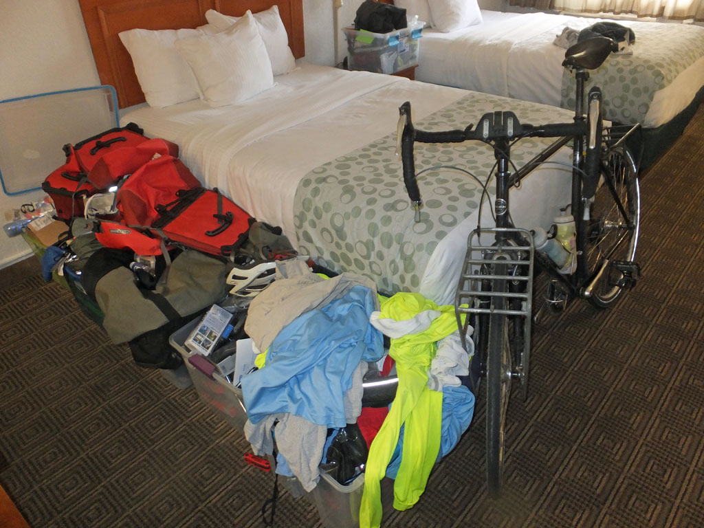
On previous long trips, I often bought a new bicycle, especially for the trip. In contrast for this ride, I decided to take four of my existing bikes prepped as necessary: two Trek 4500 mountain bikes (one of them I cycled across Africa) and two Trek 520 mountain bikes (one of them I cycled across Europe and Asia). This gave me both a primary bike and a spare of each type. I cycled most of the way to Banff on my touring bike and after that the rest of the trip on my mountain bike.

None of these bikes are particularly fancy or expensive, but I updated to get stronger wheels and a leather saddle. I also put a front rack on my mountain bike.

Reflections:

  • Disc brakes: I have become a big fan of disc brakes – mainly because of a failure I didn’t have. As a rider who is both heavier than average and cautious, I wear through brakes. On previous trips, this also eventually meant a failure on the rear rim. This didn’t happen on my trip. I replaced rotors once and brake pads many times, but didn’t have any rim failures.
  • Hubs/Wheels: I had two hub failures, both with a Phil Woods hub and the pawls sticking down and the hub spinning freely in both directions. After that, I had Sugar Wheel Works build up a different wheel around a DT Swiss 540 tandem hub. I took an extra ratchet mechanism and grease with me, but the hubs worked without a problem. In my experience, while Phil Woods makes a strong hub, it seems like also important to get the mechanism opened, serviced and cleaned and that is difficult for me to do on the road. After four Phil Woods failures, two prior to this trip and two on this trip, I am more shy about using them on other trips. Through the failures, I was pleased with service I had from Sugar Wheelworks.
  • Frame: The right chainstay of my aluminum Trek 4500 bicycle was cracked in Bariloche and welded. There is sometimes a debate about the suitability of Aluminum vs. Steel on touring bikes. Despite the failure, I am still undecided on the debate.
  • Derailleur: My rear derailleur twisted off the bike in the mud of the Dalton Highway. For now, I still think of this as a fluke that happened once in many cycling miles.
  • Tires: I used three different models of tires during the trip: Schwalbe Marathon Plus, Schwalbe Marathon Mondial, and Schwalbe Marathon Supreme. The first two are heavier but also extremely durable tires that served me well. The Supreme tires are considerably lighter (and hence faster). They held up well enough, though I did eventually have enough punctures that I ended up picking new tires back from the USA. Once I got past Mexico, I didn’t see Schwalbe tires in bike shops I passed along the way. They might be there if one searches more.
  • Tubes and tire sizes: Through Latin America, I had 26″ wheels but with Presta tubes and not the more common Schraeder valve. There is also a debate in cycling community about 26″ vs. 700C in Latin America. I carried enough spare tubes and in my experience, the odd sizes I had were not an issue.

Overall, I thought the bikes served me well enough from a reliability and durability angle. Some choices made for a slightly slower ride on my mountain bike. That wasn’t a big deal when I was self-supported touring and was a minor factor in the group riding.

Self-Supported riding vs. a TDA supported ride
“They are just different”.

I found myself saying this statement a few times, partially in answer to conversations I had including what I enjoyed most. Also, as a reminder to myself that on the TDA trip to focus on that ride (going on a TDA ride focused on all the ways it isn’t same as self-supported touring is a setup to be unhappy).

In general the largest tradeoffs I found were:

  • On the TDA supported ride, one has support with cooked meals, your gear carried and security of a medic and bike mechanic along the way. The food was excellent, not just my opinion but also of other riders.
  • On the TDA supported ride, one has social interactions of traveling with a group of riders. For example, it was interesting when we met solo supported cyclists along the way, they seemed eager to talk with us as other cyclists.
  • The TDA ride essentially has a fixed agenda and fixed route. Each riding day one checks a whiteboard, copies down the route instructions. During the day, riders go at their own pace and stop when/where you want, but generally follows route instructions or “flagging tape” to figure out where to go. On my self-supported riding, I would adjust my distances and routes as I went along and also take rest days when it made sense for me.
  • The alternatives to cycling the daily TDA route and distances are essentially to be on the bus or other transport. After cycling every inch from Cartagena to Puerto Montt, I had some long days of gravel riding where I ended up on the bus.

Overall, I planned my trip for 2016/2017 to give myself an option of riding with TDA through some/all of South America and ended up exercising the option to do the last month with TDA from Puerto Montt to Ushuaia. This gave me a fixed end date for completing the trip and support through some difficult parts of the Careterra Austral as well as some of the most remote parts of South America.

In hindsight, I think this was the right choice. While I could have cycled on my own for this last section, I would have chosen to ride via the Argentinian side and also would not have taken the extra time for hiking at El Chalten or Torres del Paine. I would have also missed the interesting border crossing at O’Higgins.

I’ve now cycled with TDA three times: once through China, once across Africa and once in South America. Given the tradeoffs above, I don’t expect to ever be a TDA customer for their tours in “tamer” parts of the world, e.g. North America, Europe or Oceania, and I’ll prefer touring self-supported on my own. However, in those places where language/geography/weather make things more extreme, I’ll choose TDA for a supported ride again.
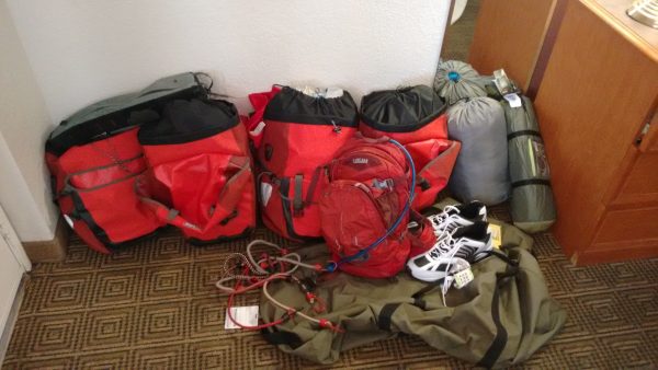
Other equipment

  • Tent: My REI Quarterdome tent served me well enough. It started new. There are some holes in the floor and also now one in the rainfly. One of the poles is slightly bent. One zipper is starting to stick. It held up well enough in the wind and other weather. Hence, it is starting to get “worn out” but will be fine for more local trips.
  • Sleeping Bag: My sleeping bag was rated for -8C/17F. Except for a few nights in Peru/Bolivia, this was warm enough for the trip. I had many days of temperatures just below 0C, but only a handful in the -15C to -5C range. I had a second light sleeping bag for the Altiplano region of Bolivia and Peru and was warm enough. For most of Mexico, Central America and coastal Columbia, it was much warmer even at night.
  • Thermarest: My thermarest developed a hole in it from camping with thorns in Baja California. I was able to patch some of the leak, but it still was slow enough to deflate halfway through the night.
  • Cycle Computer: My Garmin cycle computer worked through the trip. The rechargeable batteries run down after a day of riding, so found an extra battery pack helpful. I stayed in hotels often enough that other charging e.g. dynamo or solar wasn’t necessary.
  • Worn out: The following things wore out during the trip: one pair cycling gloves, two handle bar bags, one broken pannier, one Camelbak. I also lost: two cycle mirrors, one little thermometer.
  • Trailer: Originally I didn’t have a front rack on my mountain bike, but did have an Extrawheel Trailer. I somehow misordered and discovered I was missing the hitch and then later purchased a front rack. I think that was a blessing in disguise as having front rack ended up worked better than I expect the trailer would have.

Overall, other equipment held up well enough along the way.

Routing Choices
As the trip progressed, I largely picked the route based on what I wanted to see and where wanted to go. I didn’t ride “both” alternatives so won’t necessarily have a scientific comparison, but following were my perceptions of some of the major choices as I made them from north to south:

  • Cassiar Highway vs. Alaska Highway: In 1997 I had cycled the Alaska Highway all the way to the end. This trip, I cut off on the Cassiar instead. I enjoyed the choice and found the Cassiar was still more “rugged”. The cleared areas on both sides of the highway is less, the short grades occasionally steeper and I saw more wildlife in this part of the Cassiar than I did previously on the Alaska Highway.
  • Icefields Parkway: The Icefields Parkway was stunning and a highlight of the trip. It also ended up being crowded enough that I needed to make reservations in advance for camping and hostel sites. I’m glad I made the choice to ride this section rather than going back via US Pacific Coast. The Pacific Coast is also nice, but I’ve cycled most of it three times before.
  • Great Divide Route vs. Paved roads: I cycled just some parts of the GDMBR before riding most of the distance on the paved highways going through the same areas. I expect this is one of those personal preference things where some prefer the more rugged/wilderness aspects of a wilderness road and other prefer better road quality/small towns of a busier highway. I am more in the latter camp. I enjoyed the parts of GDMBR I cycled, but overall am at least as happy on paved roads.
  • Baja California: I enjoyed Baja. I had picked Baja as a “gentle introduction to Mexico” and found the riding not difficult. There is only one highway and in a few sections, the road is narrow with not quite enough room for two trucks to pass along with a bicycle. There is also a moderate amount of traffic. However, I enjoyed the overall desert terrain and occasional small Mexican village. It also was easy cycling that helped my confidence in starting Latin America.
  • Highlands of Mexico: Elevation matters. Even in December/January, the lower coastal areas of Mexico were surprisingly hot. I’m glad I was able to ride through highland areas where it was significantly cooler.
  • Toll roads vs. Free roads: I crossed a good portion of Mexico on the toll roads (cuota) rather than the other (libre) roads. Some of this choice was for better roads including shoulders and somewhere the travel advisories suggested they might be safer. This worked well enough for me. However, I now also have additional confidence that I might make more of a mix of both roads types on a future trip.
  • Highlands in Guatemala and Honduras: Elevation matters. As in Mexico, traveling at higher elevations is cooler cycling at expense of having more hills to cross. I would make the same choice in the future.
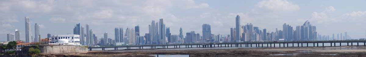
  • Pan American through Panama: A good portion of my cycling though Panama was on the major highway. The road was good and there usually were good shoulders. However, traveling a busy highway through an area that was fairly hot was not a highlight of the trip and I might look for other alternatives on a future ride.
  • Cartagena/Medellin/Popayan/Pasto: I took the major road via the west in Colombia. Overall, I enjoyed this route and Colombia as a whole was one of my favorite countries.
  • Coast of Peru: I cycled more than 2000km along the coast of Peru. There is a definite tradeoff in Peru between the coastal areas which are flat and the highland areas with poorer roads, many more hills smaller towns. Average distances in the mountains would be significantly lower than along the coast. The coast was surprisingly cool with the Humbolt Current creating temperatures rarely below 12C or above 20C. Further south it also brought headwinds. While not the most exciting part of my trip, it was an expedient route that I would do again if I were crossing all of Peru.
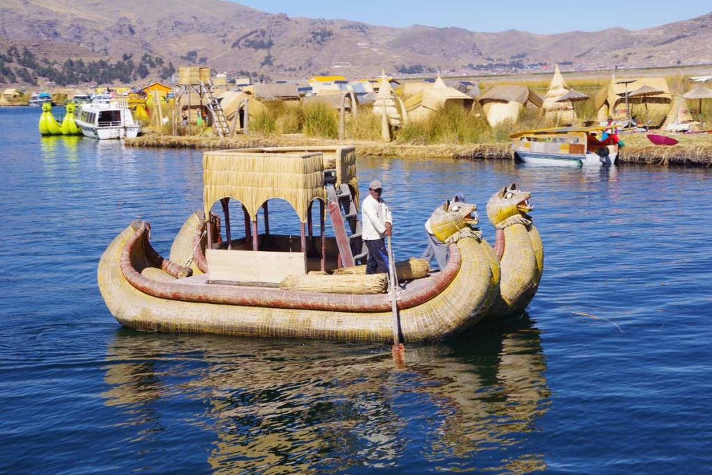
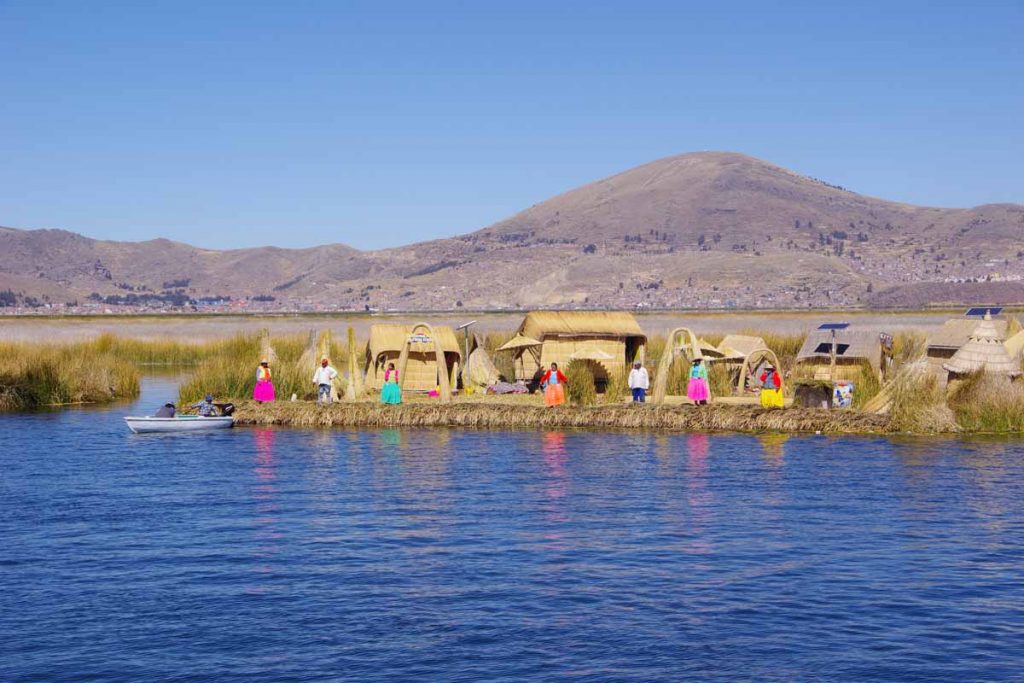
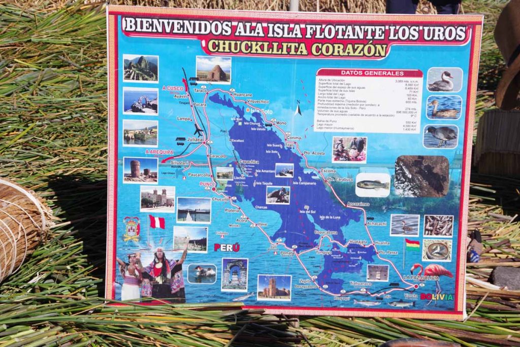
  • Lake Titicaca, Bolivia, Altiplano, Salar: While I could have kept going south into Chile, I really enjoyed my time cycling up at the higher elevations. Lake Titicaca beautiful and going via the salt flats was a highlight of the trip.
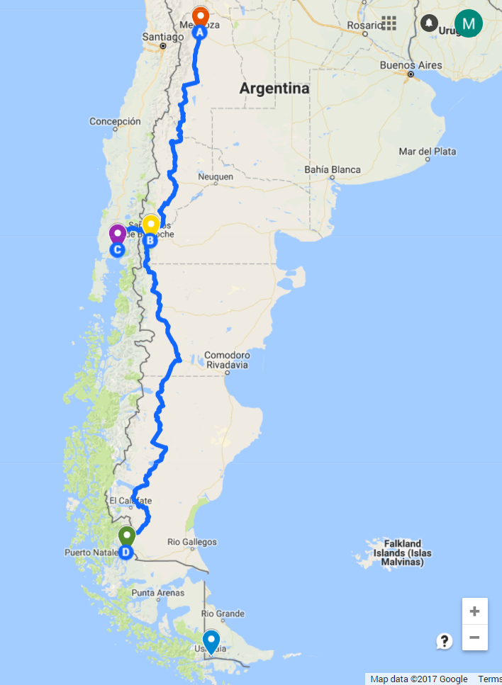
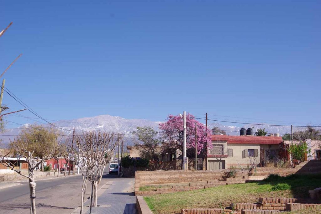
  • Argentina vs. Chile, particularly south of Mendoza: My perception is that the tradeoff is that Argentina is drier and windier while Chile may not be as windy but a lot wetter. As a whole, I found the riding via Ruta 40 to be interesting and enjoyable. Once I got close to Bariloche, it became rather beautiful as well.
  • Careterra Austral: Already covered in the TDA section above, but I also found the Careterra Austral to be a highlight for the ride.

Overall, I followed relatively common routes mostly along the Pacific Coast of South America and other places there wasn’t as much choice.

Miscellaneous:

  • Spanish: I had enough “survival Spanish” to do the trip, but found extra times I spent in Oaxaca and Bariloche to also be valuable. More Spanish generally helped my interactions with locals and further conversations than the immediate purchase or hotel stay.

.

Six Trips:
This trip is my sixth long bicycle ride and completes rides across six continents. Some might inevitably ask, “which was your favorite” or why. My general response and advice is generally twofold: (a) my recommendation is always to “do your own country first”, e.g. Americans cycle across the USA, Canadians across Canada, Europeans through Europe, etc. The reason is one has extra connections to people, history, and language. Hence, my first ride across the USA (in 1992) was also special. (b) if I have to pick, I’d probably select time in Australia. I really enjoyed the outback areas and being in country long enough to get a feel and sense. English-speaking made travels a bit easier as well.

With that said, I really enjoyed me cycling these past 18 months through Canada, USA and then Latin America. There has been an interesting phasing of regions and variety going from country to country. I also like the “newness” of seeing a different part of the world and found travels in this Spanish-speaking area to be relatively easy. Not sure what or where my next trips might take me, but I’ve seen enough of Latin America that I’d love riding through the areas again.

Others
Are there questions or reflections that I’ve missed or you are curious. Let me know via “comments” or “contact” above and I’ll add to this post over time as well.

Overall, I really enjoyed my ride and I am happy and grateful I was able to do it. I would make many of the same choices if I were to do the same trip again. One might also ask, “what next” and for the first time in a while I don’t have another cross-continent multi-month trip already in my plans/dreams. I’m sure I’ll keep doing other shorter rides and tours along the way.

Posted in Planning

Mendoza, departure eve

A bicycle ride across the Americas Posted on 2017-09-16 by mev2017-09-16

Back in Mendoza after a nice visit to Colorado.

I swapped in a new front tire and went for a test ride. All seems well. Nice to have a new tire, two new spares, a new mirror, new gloves and a new Camelbak. After almost three weeks off the bike, it will be nice to ride again.

Monday is Chilean Independence Day. The agreement that I had with the hotel was two nights reservation in return for their keeping my stuff while I was gone. This way they don’t as easily get stuck with an empty room that Chileans might otherwise rent for a long weekend in Mendoza. If there had been a window of good weather followed by worse weather, e.g. wind/rain coming, then I might have gone early but forecasts look good for a while and I have some time, so one day in Mendoza to put everything in place for departure.

Plans can always adjust but following is the rough idea for the next nine weeks until I need to be in Puerto Montt (purple pin) to meet TDA:

  1. Start cycling from Mendoza (red pin) to Bariloche (yellow pin) (AB). Distance is slightly less than 1500km and looks to be mostly paved. Towns are found along the way, but it will be mostly two-day gaps between towns.
  2. At the two-week point, end of September, make a rough decision between “ferry” or “school” and make appropriate reservations:
    • Ferry: After Bariloche, another 1600+ kilometers to Puerto Natales (green pin) along Ruta 40 (BD). A little tougher than before but should still be possible in the time I have. At Puerto Natales, a car ferry leaves once a week and takes four days to go to Puerto Montt (purple pin).
    • School: In Bariloche, there are two Spanish language schools. One looks interesting and also has a homestay option with a local family. Sign up for appropriate number of weeks depending on my Bariloche arrival dates and then the week before TDA arrives, cycle over to Puerto Montt (BC).

From Puerto Montt, TDA takes 29 days to get to Ushuaia including 16 cycling + 6 rest days to Puerto Natales and 6 cycling + 1 rest day to Ushuaia. So if I do cycle to Puerto Natales on the Argentina side, then I will see bits of Patagonia from multiple angles. First two weeks of cycling before I get too far ahead of myself.

Posted in Argentina, Planning

Chilecito rest day

A bicycle ride across the Americas Posted on 2017-08-21 by mev2017-08-21

Happy San Martin Day!

I didn’t realize until later that today was a holiday. The supermarket was open on Sunday hours, so open in the morning and closed in the evening. Fortunately, I stocked up on most things in the morning. A number of the other shops still stayed closed, though I didn’t figure this out until later.

Four of us cyclists in town all on a rest day and all planning to depart tomorrow, so nice to catch up with others on similar journeys.

Some of the cars around I had previously seen in Europe but not for many years.

Otherwise also got a bit more rough planning together as I have three months (November 21st) to get to Puerto Montt some ~2150km from here. TDA will cycle the same distance in just under a month, so I do have a little time to play with. Following is a rough updated plan:

  • From here to Mendoza is ~650km and will have combination of an occasional town but also camping along the way.
  • I’ve booked a short flight back from Mendoza to Colorado in September. This gives me a chance to pick up new tires and potentially a few other spare parts. I had budgeted the time+money for one trip back to the USA and Mendoza seems like a good place for such trip and tires are a good excuse. The only drawback of flying from Mendoza instead of Puerto Montt is I’ll still need to carry anything extra I bring to Puerto Montt.
  • From Mendoza to Puerto Montt is another ~1500km to cycle most likely heading via Bariloche on the Argentina side.
  • Puerto Montt to Ushuaia with TDA is ~2475km and a more intense month of cycling – though no longer carrying my gear. TDA ride finishes in Ushuaia on December 21st at the summer solstice.
  • After that, fly back to the USA. My tenants’ Austin lease finishes December 31st and I will re-enter the working world in 2018.
Posted in Argentina, Planning

Puno, rest day

A bicycle ride across the Americas Posted on 2017-07-19 by mev2017-07-19

A day to be a tourist and plan some additional details for Bolivia.

This morning I took a boat tour to the floating islands near Puno. These are inhabited by Uru people and hence are also referred to as the Uros Islands.

It was about half an hour slow cruising on our tour boat to reach the islands. Each island has half a dozen structures and is inhabited by five to eight families. Hence, our boat picked one of the islands and locals there provided a tour, allowed photos and otherwise hosted. It was fun. What I actually found most intriguing was feeling the ground move up and down as the island bobbed in a wake of a floating boat.

The explained how the island was constructed.

The sold and showed handicrafts.

More handicrafts.

One of the huts in basic original form.

One of the huts in newer revised form. Also interesting to see the solar panels that drive electrical items including lights and televisions.

Construction of a boat. These used to last only a few months. However, newer construction methods that use both nylon line and plastic bottle materials (up to 1000 per boat) will make them last several years.

Also a good overview of the lake. As a whole half day was reasonable amount of time to get a good perspective.


I have also been looking through blogs and planning a bit further on the ride across Bolivia. The general idea is to first go to La Paz (~300km) and then fairly directly via Oruro, the salt flats at Uyuni and cross the border at Villazon. Until La Paz, there will be more towns where hotels have wifi. After that, it will be hit and miss with some larger gaps between internet service. One blog I read had seven days without wifi between Oruro and Uyuni and they were making reasonably long days through harsh terrain, so I might have that or longer.

Fortunately, there are not huge amounts of climbing involved. In total, expecting ~1650km until Salta through some beautiful but harsh terrain. Nights will also be cold until I descend off the Altiplano.

Also did a quick sync with how my riding pace is going relative to TDA:

TDA expects to have a rest day in Puno on September 27th. This means I am now approximately 70 days ahead. I left Cartagena 83 days ahead of their July 9th departure. So roughly speaking, it has taken me 3 months to travel what TDA will ride in 2.5 months and they will have “caught up 13 of the original 83 days” by the time they are in Puno. Of course their route is also a little longer and with some more gravel roads and challenging riding that I bypassed.

From Puno to Puerto Montt, I have approximately four months and TDA will have just slightly less than two months to ride a relatively similar distance but with TDA again occasionally picking tougher roads. In any case, those extra 70 days will be caught up on way to Puno.

An interesting blog for TDA trip can be found here. The TDA pace was to ride from Caucasia to Medellin (over the first set of hills) in three riding days. I took five days and a rest day.

Posted in Peru, Planning

Elevation on way to Puno

A bicycle ride across the Americas Posted on 2017-07-11 by mev2017-07-11


I have been looking at the elevation profile on way to Puno as well as likely places to stop along the way.

Around 25 kilometers down the road is Yura, elevation 2590m/8500ft. This is last place with a hotel for a while.

Around 130 kilometers is Imata, next medium sized town at elevation 4451m/14,603ft. Weather forecasts for Imata seem to have high temperatures around 15C (59F) and lows around -5C (23F) with it warming rapidly after the sun comes up.

It looks like there is also a village around the 80-kilometer mark at that little dip below 4000m/13,100ft on the elevation profile.

Following is a summary of key elevations along the route. It is not *that* much more than I’ve been before, but the trick is to avoid climbing too quickly and give my body some time to adjust to the altitude – while also covering these gaps between villages so I don’t have to carry too much food/water. It is right around 100 kilometers where the road is above the 4000 meter mark and I’ll be camping somewhere once or twice in this gap.

Elevation (meters)Elevation (feet)Description
532817480Highest elevation I've been, in a bus; Tanglang La Pass in the Himalaya
439614421Highest elevation I've hiked, Mount Harvard, in Colorado
420013800Typical elevation I found myself much more short of breath hiking in Colorado
23287638Arequipa starting elevation
25908500Yura, last hotels
445114603Imata, village near high point
452814855Highest point on road to Puno
381012500Puno, elevation

Posted in Peru, Planning

Signed up for a segment of TDA South America

A bicycle ride across the Americas Posted on 2017-01-07 by mev2017-01-07

Decided to sign up for the last segment of South American Epic 2017 from TDA. In particular, the 2475km from Puerto Montt to Ushuaia (link). I expect to ride self supported from Cartagena to Puerto Montt and then finish South America with TDA.

Why?

I’ve written before about trade offs of doing a supported tour (e.g. having gear carried and support for mechanical/medical issues) vs. riding self-supported (e.g. ability to ride at your own pace, route and interact more closely with locals). All else being equal, I prefer riding my own self-supported ride at least in countries where the logistics aren’t too difficult.

However, I also figured it would be a nice blend to get at least some riding in with TDA. Given that the TDA ride generally goes faster, if I wanted a fixed end date (December 21st), then it makes the most sense to make the last segment the supported ride. It also turns out that physical logistics in Patagonia for distances/food/wind are up for a good challenge as well. If I were doing my own ride in that section, I might bias towards ruta 40 on the Argentinian side.

What this also provides is a nice “backstop”. Hopefully not, but if for some reason I end up traveling even slower through South America, then might consider trying to join the TDA ride earlier. Also it helps add some certainty about “finishing” my ride by end of 2017.

I have a lot more riding to do through Mexico and Central America first and then need to ride >80% of South America on my own, before doing that last 20% with TDA, so it is still a ways off…but also nice to put a piece or two together along the way.

p.s. For those who don’t know TDA was originally “Tour d’Afrique” but now named “TDA Global Cycling” to more closely reflect their multitude of rides. I’ve enjoyed my past two trips riding with them:

  • Riding through China in 2007 on the last part of the inaugural edition of the Silk Route ride.
  • Riding across Africa in 2013 on the Tour d’Afrique ride.
Posted in Planning

Wrapping up loose ends

A bicycle ride across the Americas Posted on 2016-06-15 by mev2016-07-07

Bags are packed:

wp-1465933909722.jpg

I have four new panniers packed as follows:

  • One with food for eight days
  • One with camping stuff such as thermarest, stove, water filter, fuel, etc.
  • One with clothes
  • One with miscellaneous items including bike repair, toiletries and some electronics.

I sent off a package to Fairbanks with some items to swap. In particular, after Fairbanks I may not need as many warm clothes or to carry as much food at a time. However, sent some additional items I can use along the way.

wp-1466016419873.jpg

My storage locker is now packed with everything to save away in Austin including four bicycles.

Finally after packing everything up, I locked my doors and handed over my keys to property manager. They will list it to find tenants. My gear is packed in a rental minivan. Tomorrow morning plan is to drive to Colorado. Will spend the weekend there before flying out on Sunday.

wp-1466016465875.jpg

Posted in Planning

Almost homeless

A bicycle ride across the Americas Posted on 2016-06-13 by mev2016-07-07

DSCF1159a
My townhouse is now empty. This past weekend I completed moving my remaining items into storage. As these things go, it barely fit in the size I had rented, though if I’d rented a different size I’m sure that would have been the case as well. Towards the end, I had the sense that I’d like to have sorted through a few more things since I’m sure there is more being stored than I might later use, but that time will mostly wait.

This afternoon I met the cleaning crew. This is from a company that does “move out” type services. Costs a little, but nice to get everything thoroughly cleaned. Tomorrow morning I will have a company clean the carpets. After that, hand the keys to a property manager and hopefully will soon have it rented. I decided to rent to get some income but more importantly to have someone looking after those little maintenance items that can otherwise creep up.

Once I downsized from a full house, I put my remaining items and bicycle into a rented minivan and am staying at motel in Austin. These past weeks I’ve kept some bins for things I might “possibly” need for the trip. From the photo below, clearly these five bins are more than will fit in my panniers. Not particularly worried since I know several instances where I have half a dozen tires or extra things to completely sort through. However, general idea is to start with this limited stash and pack together four panniers and perhaps a care package of things I don’t need yet that I’ll send on to Fairbanks.

Not to make too much of plight of those who are homeless not of their own choice (seems like a tough life), but I jokingly describe myself as having become homeless (this week) and unemployed (last week) – but also freed up from these things so I can take off on this trip.
DSCF1161a

Posted in Planning | Tagged packing

Tour Divide and GDMBR

A bicycle ride across the Americas Posted on 2016-06-11 by mev2016-06-12

The Tour Divide mountain bike race had its grand start yesterday on traditional second Friday in June. The link to the leaderboard is here and the discussion forum is here. A description of the route is here. Also a fun article describing 2015.

The racers that win the Tour Divide are really a different class, covering 2700 miles in around 15 days including 200,000+ feet of climbing and mostly off road. It is something I’ll follow along as a spectator but have no pretense of doing. Checking the leaderboard periodically as well as the blogs.

The route that the Tour Divide race follows is the Great Divide Mountain Bike Route (GDMBR) as mapped by Adventure Cycling. It is partially through Tour Divide and partially through Adventure Cycling (I’m a life member) that I’ve gotten interested in the GDMBR. As a result, my plan is to try riding the route after I get to Banff. I will swap out my touring bike for a mountain bike (already sent on way to Montana). It is a bit of an experiment: I’ll see how well off-road touring goes and I’ll also get some riding this trip on my mountain bike. Overall, I’m expecting my pace to be 4x-5x slower than the winners of the race or try finishing in two months or so.

Of course, can’t get too far ahead of myself, first up on the docket is Alaska and starting my ride. So in the mean time, I’ll watch vicariously as some of these racers show their stuff and offer occasional tidbits about the route.

Posted in Planning, USA

Post navigation

← Older posts
©2023 - A bicycle ride across the Americas - Weaver Xtreme Theme
↑