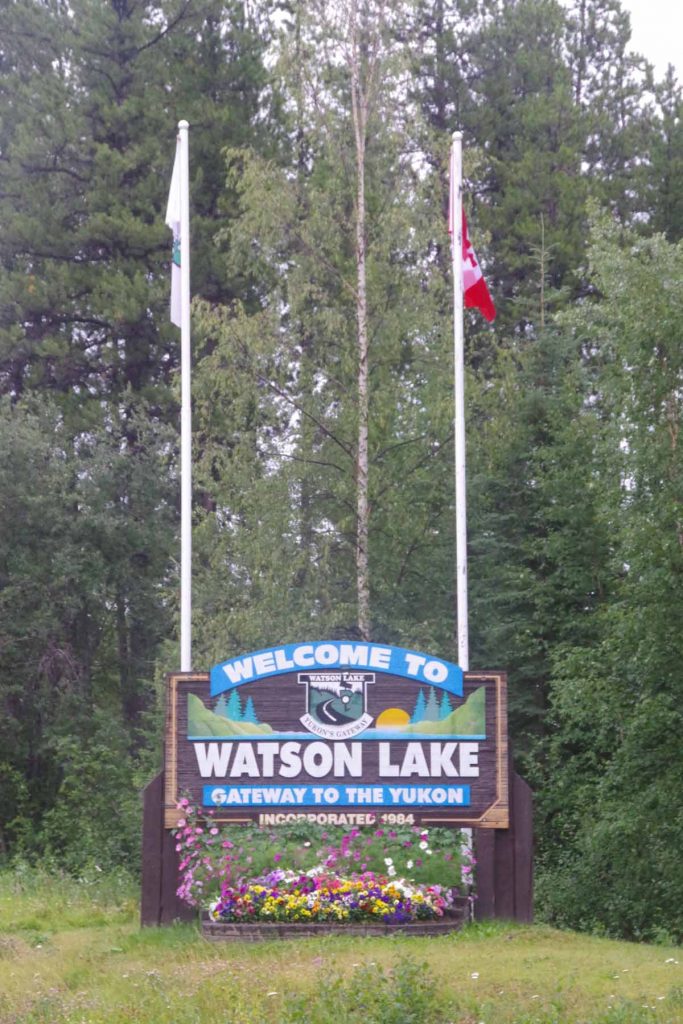
Today I cycled to Watson Lake to pick up some groceries. Nugget City is ~1km from intersection with Cassiar Highway but ~22km from Watson Lake. I could leave my heavy panniers behind. I was surprised at how much easier it was to pedal. This will be useful to figure out for Great Divide if there is anything else I can reduce the weight.
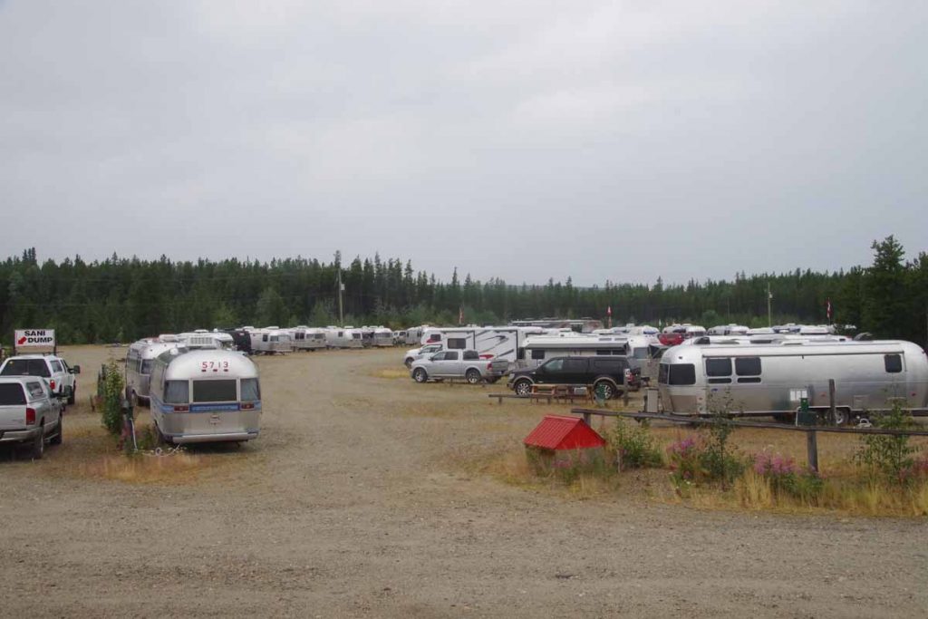
Last night there was a group of 30+ airstream trailers that also stayed here for two days. It is an organized group on a two month trip going up the Alaska Highway and back down again.
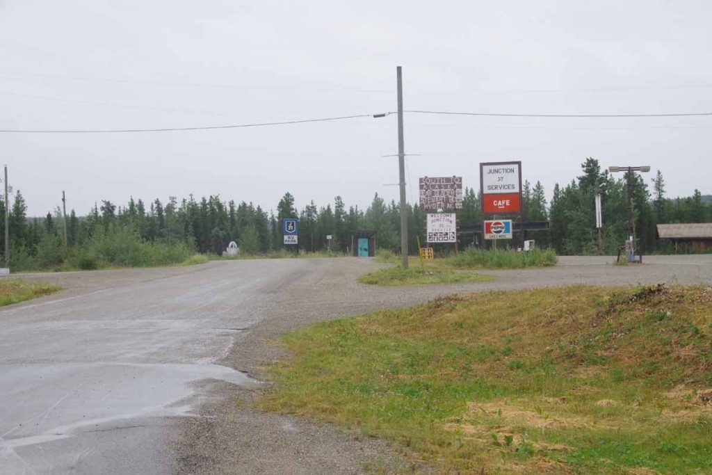
It was overcast and slight drizzle as I left. One kilometer I passed the start of the Cassier shown below.
It was mostly downhill until the Liard River at 12km and then a several kilometer climb. This is particularly where I noticed the weight difference.
At 22.5km was a Yukon visitor station located at the “Signpost Forest”. I thought it was a fun place and have multiple photos below. The visitor center also had one of the better films and photos about construction of the Alaska Highway. Some items I learned:
- Motivation to build the road came just after Pearl Harbor with concern that Japan could attack Alaska and establish a beachhead to attack North America. This concern was magnified in May 1942 when Aleutian Islands Attu and Kiska were taken and skirmishes made around Dutch Harbor.
- The route was chosen in part to link together a set of airfields along the “Northwest Staging Route”. These airfields were used to fly US-built airplanes across the Bering Strait to Russia where under “lend lease” they were painted with Russian marking and used in battle on the eastern front in Europe.
- It took less than ten months to build the original “mud road”. That is the amount of time between when congress authorized the work and when victory was declared. At the time congress authorized the work, they hadn’t yet gotten agreement from Canada, it was just assumed it would be given as part of the war effort.
- It took ~20,000 people to build the original road. A majority of these were US military, though also a good portion of contractors as well. The cost was $150 million in 1942 dollars so a large expenditure for the time. This included up to seven miles of bridging and 50 miles of culverts built
- In 1943, the Public Roads Administration (PRA) was chartered to turn the mud road into an all weather gravel road. After that first winter, when it melted, many bridges watched out and road bulldozed over frozen muskeg melted becoming impassible bog. That started a gradual level of improvement of the route.
- In 1946, after the war, the road was turned over to Canada. Canada made payment of approximately 1/2 of the original construction costs.
Overall I found it interesting after traveling half of this road, to see how it originally came to be and was constructed 74 years ago.
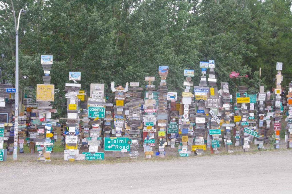
The other interesting here was the signpost forest. In 1942, one of these construction workers, Carl Lindley, placed a sign indicating direction and distance to his hometown of Danville, Illinois.
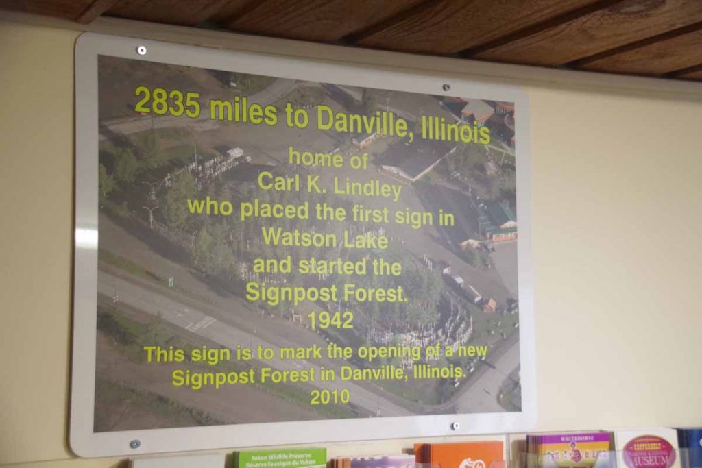
It went viral (pre-internet, viral over many years), after that with a steady progression of signs being placed. By 1988, there were over 6000 signs in the signpost forest. Now there are more than ten times as many.
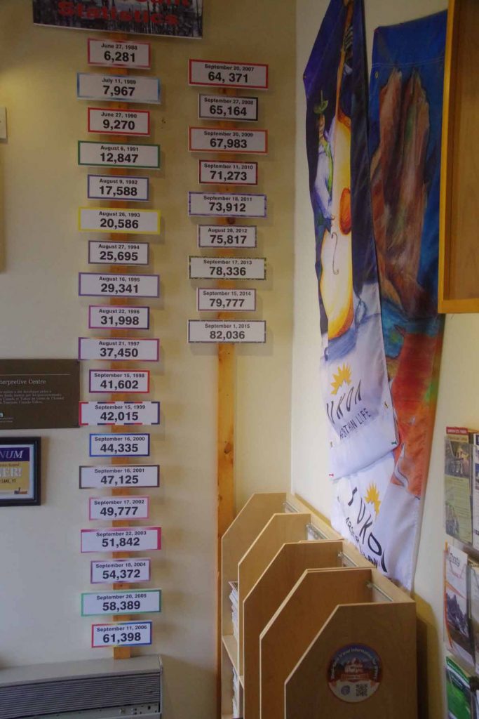
Below you’ll see some of the pictures I took of signs.
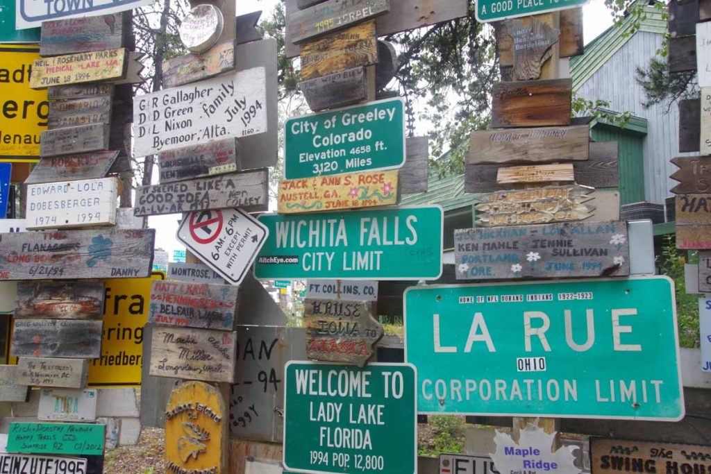
Above you’ll see one from Northern Colorado
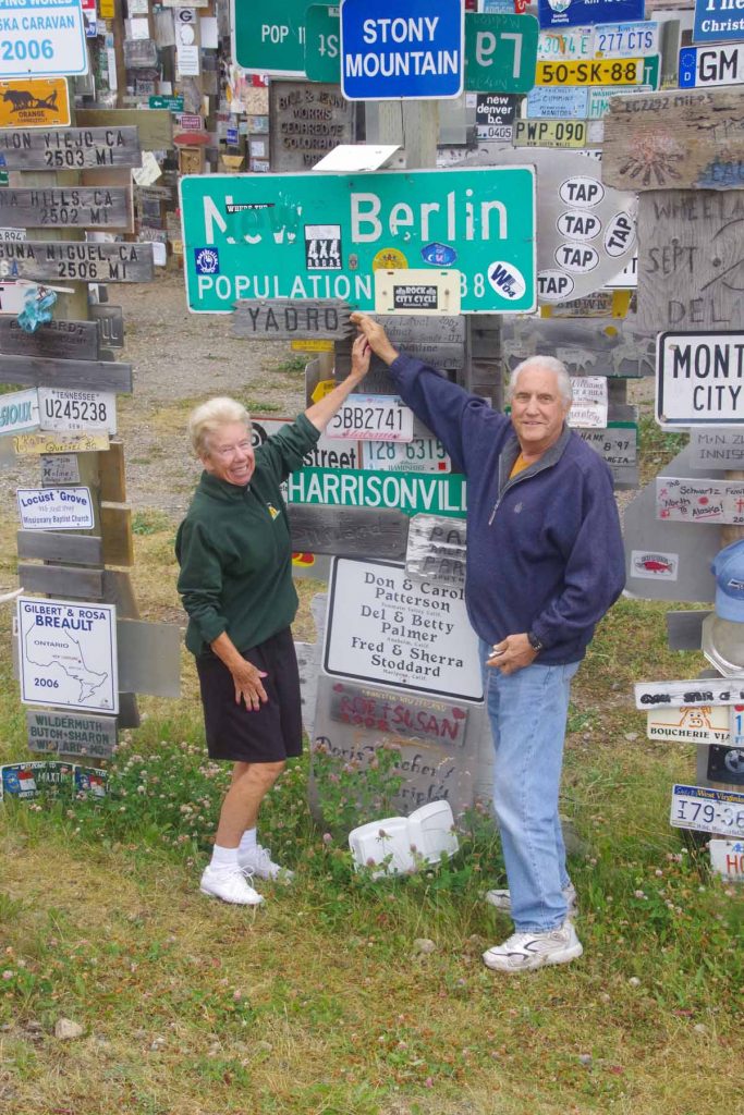
These folks were from New Berlin Wisconsin. They were happy to have found “their” sign.
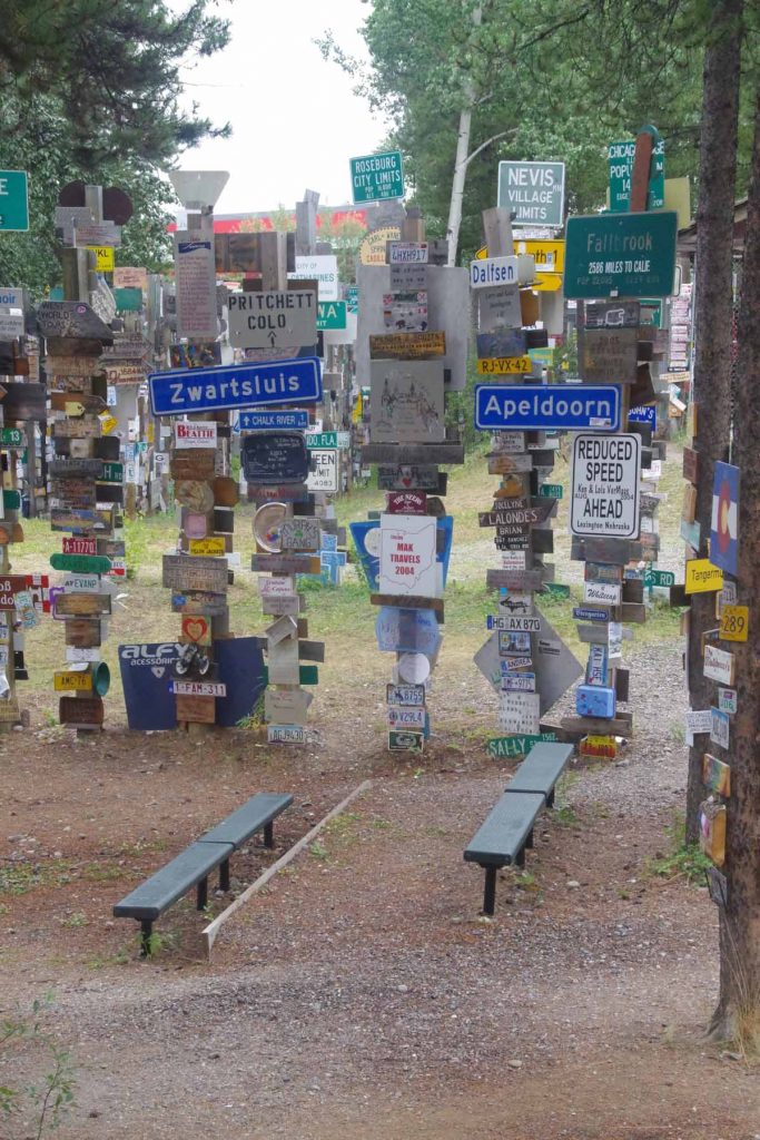
Dutch readers will notice a few places from the Netherlands in this one.
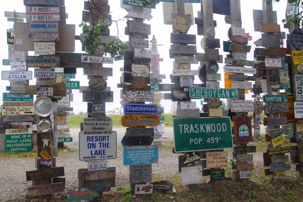
My grandparents lived in Stadskanaal for a while.
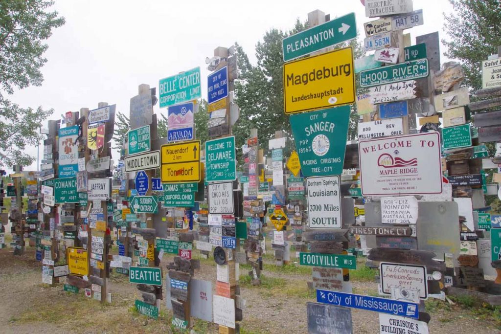
Another collection of signs.
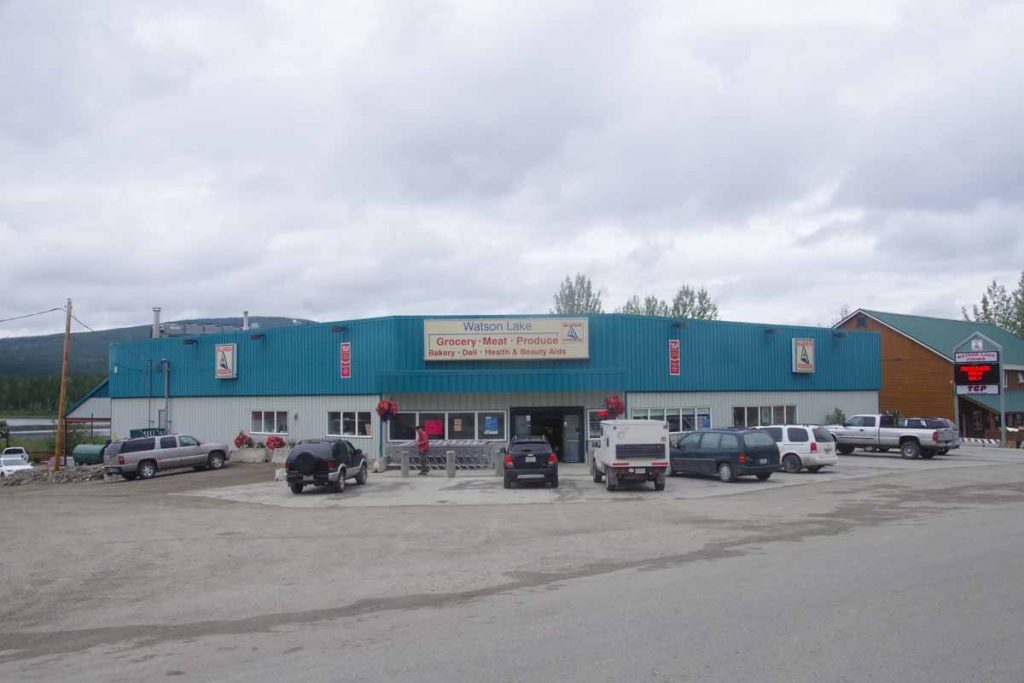
After all wandering around around the signpost forest, I stopped by post office to mail away a few items. I also found grocery story below. After that cycled to far end of town to the recommended restaurant (BJ’s) and then cycled back to Nugget City. It rained a bit more on the way back but overall a nice day trip of almost 50km round trip.
Tomorrow plan is to start down the Cassiar Highway. The position of services suggests likely 9 cycling days of ~80km per day to cycle the Cassiar. Will be interesting to compare with Alaska Highway.
