Jasper, on to Alberta
Big thunderstorm as I awoke. Enough to fill all the divots from the rumble strips, but fortunately dry when I left.
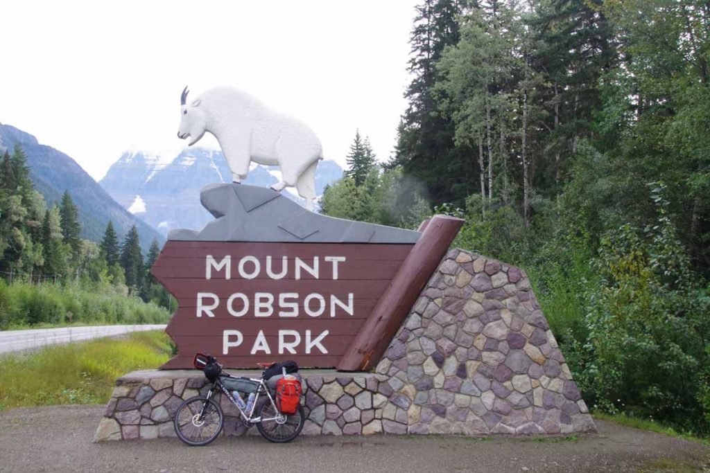
First day full loaded on the mountain bike. Overall I think my average speed was a little slower than the touring bike, though seems like my endurance was roughly the same. I also had somewhat less things, both the items I left behind and only having two panniers to carry everything.
The first 17km retraced my steps to Robson Visitor Center. Above you can see the “after” picture with my bicycle. In the 10km after the visitor center was a substantial portion of the climb for the day. I put it in low gear and slowly wound my way up the hill.
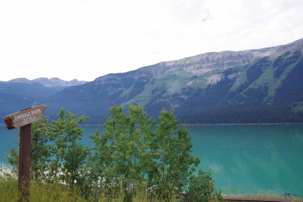
A little past the top was Moose Lake and for rest of the day no huge climbs until after Jasper, though some smaller ones to keep everything challenged. Photo above was Moose Lake and then Emerald Ridge in the background.
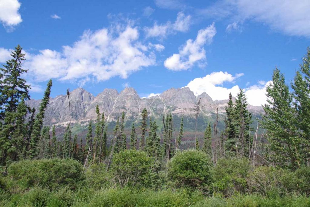
The peaks in Robson park were already stunning and could tell I was coming into the Rockies.
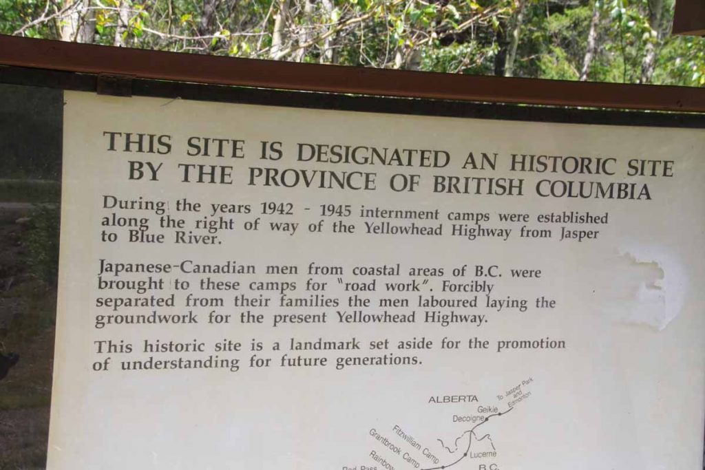
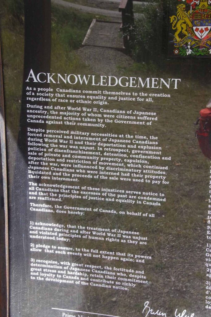
Not far from the border was a rest area with this sign about internment camps for Japanese-Canadians during the second world war. Interesting to see this also happened in Canada, particularly after my visit to Topaz in 2013. Also interesting to see the Canadian government had also put the “Acknowledgement” sign below
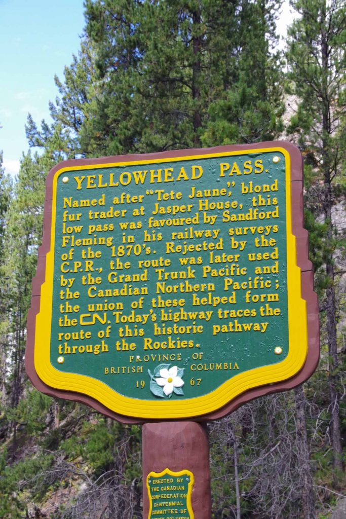
Not much past that I was at top of Yellowhead pass
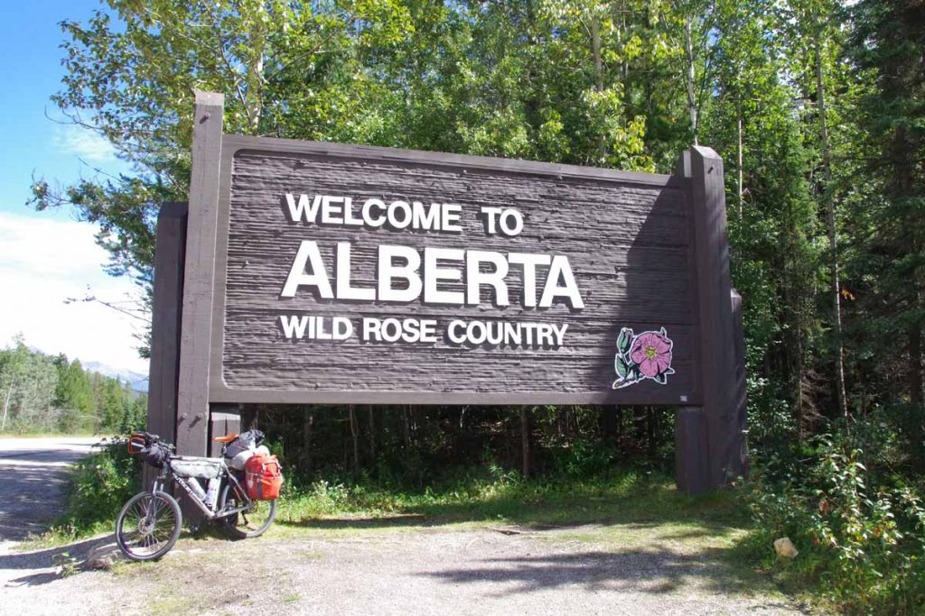
This was border with Alberta
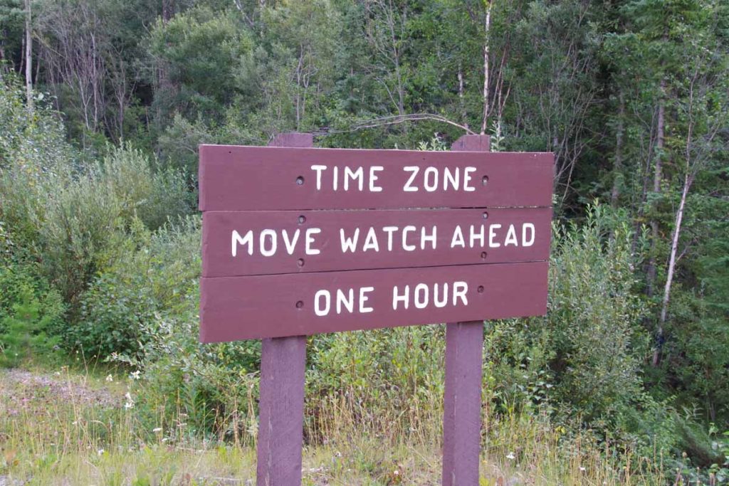
A new time zone
As well as boundary of Jasper National Park. Five kilometers past the park boundary was an entrance station where I paid fees so I could stay overnight the next six nights in Jasper and Banff National Parks. The next 20km was to Jasper town and was almost level with not much drop from the pass. I did spot a few cyclists again.
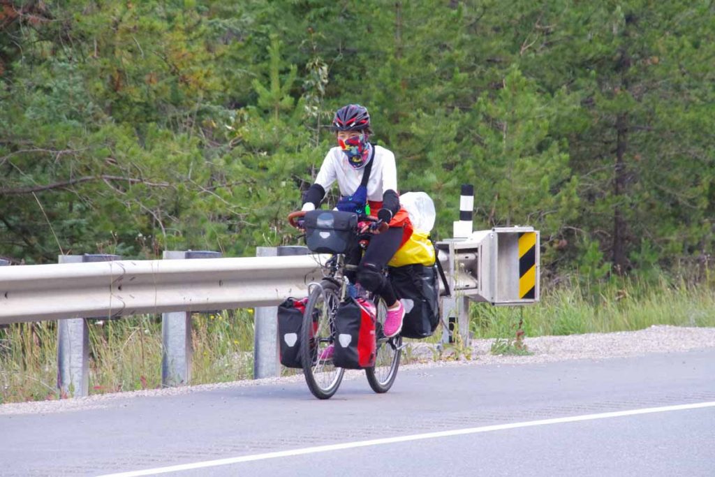
Without much difficulty I found myself at 104km into Jasper town itself. I found a bike shop and bought two inner tubes and also a restaurant and grocery to refuel for both afternoon and next several days.
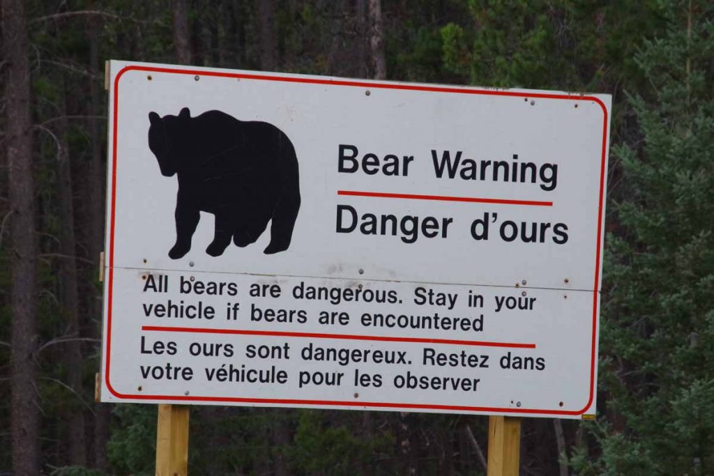
However, I wasn’t done for the day as my campground was located 18km south of town. Sounds like good advice below, though not real practical if your “vehicle” is a bicycle.
I took the main road and slowly headed south. At 10km was a split into the 93A which went on west side of the river where campground was located.
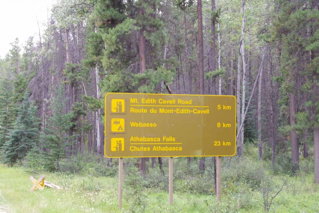
There was a surprisingly big hill in those last 8km and then a descent back down to the river. Overall 122km and a long day. At the campground entrance they informed me they didn’t have bear lockers and if I had food, I would need to give it to them for safe keeping. I asked if instead I might have a fellow camper in next site lock things up. Fortunately, they agreed and fortunately friendly folks across the way kept my food bag for the night.
