↓
 

A bicycle ride across the Americas

from Deadhorse (SCC) to Ushuaia (USH)

  • Home
  • Plan
  • Blog
  • Photos
  • FAQ
    • Why?
    • Where?
    • What next?
  • Map
  • Equipment
  • Calendar
  • Countries
    • USA
      • Alaska
      • Montana
      • Wyoming
      • Colorado
      • New Mexico
      • Arizona
      • California
      • Texas
    • Canada
    • Mexico
    • Guatemala
    • Honduras
    • Nicaragua
    • Costa Rica
    • Panama
    • Colombia
    • Ecuador
    • Peru
    • Bolivia
    • Chile
    • Argentina
  • Weather
  • Links
  • Contact
Home→Tags pass

Tag Archives: pass

Antonito

A bicycle ride across the Americas Posted on 2016-09-27 by mev2016-09-27

imgp4049
Two days mostly in the San Luis Valley brought me to Antonito, just five miles north of the New Mexico Border.

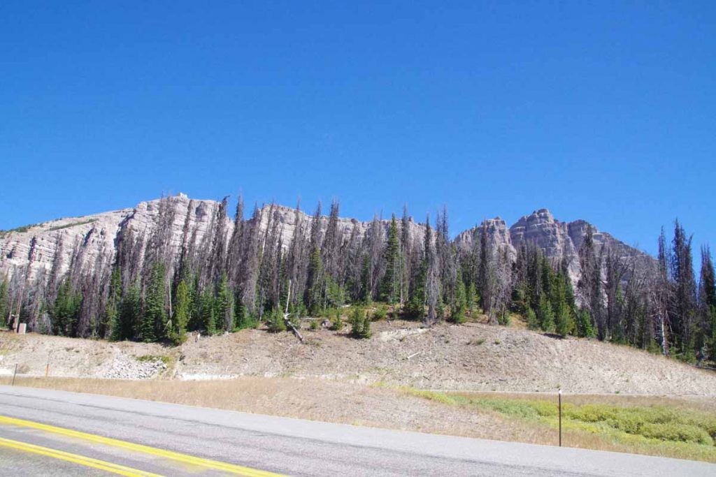
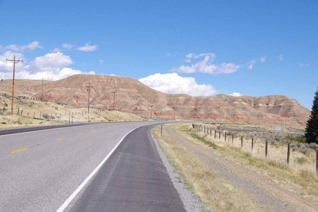
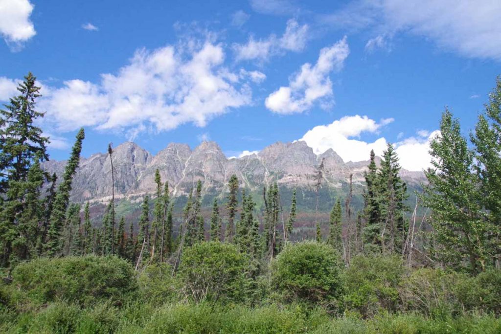
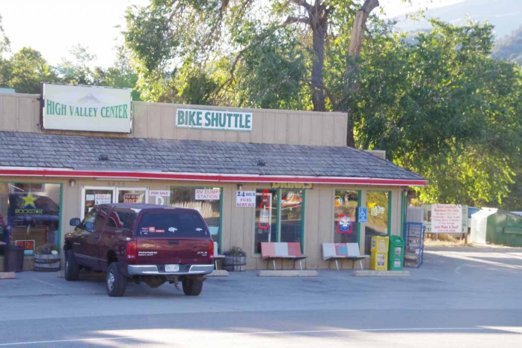
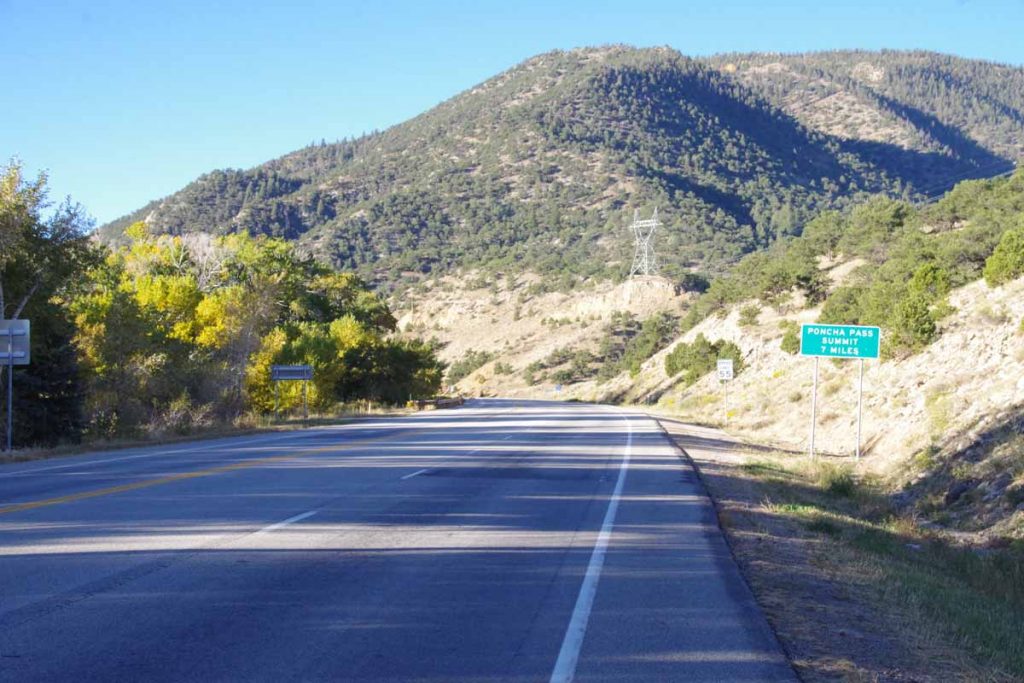
First order of business was to climb over Poncha Pass, approximately 2000ft spread over 11 miles. Some gentle climbing to Poncha Springs where I took the photo above. It looks like the “bike shuttle” likely takes tourists to either Poncha Pass (9010 ft) or Monarch Pass (11318 ft) where they can then glide back down. I went up the more conventional way which had one or two short stretches of 6% and the rest was 5% or less.
imgp4051
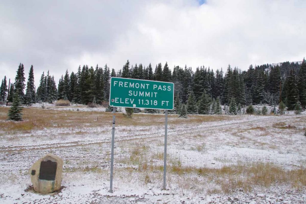
It was cool climbing though quite a bit warmer than Fremont Pass.
imgp4053
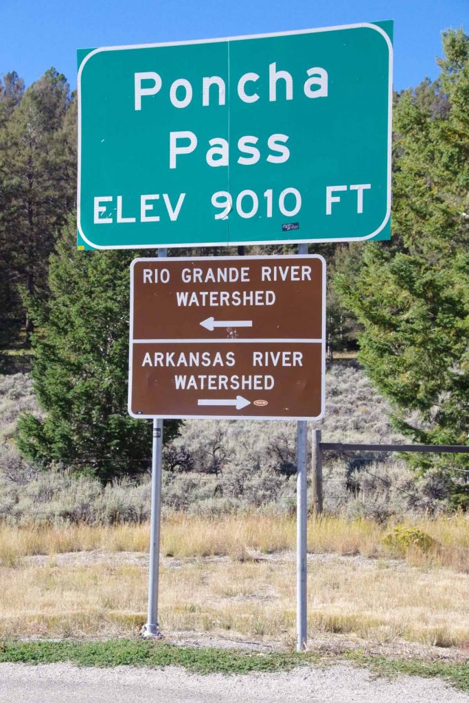
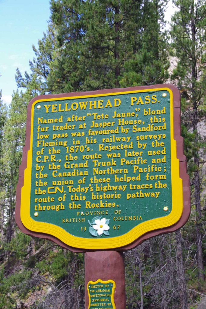
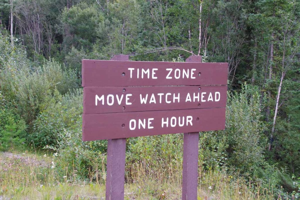
Sign at the top. In my riding through Colorado I’ve now crossed through the headwaters of four large rivers:

  • Crossed the North Platte River just after Rawlins. The North Platte starts up in North Park basin where I rode past Walden.
  • Once I crossed Muddy Pass, I came into the Colorado River basin. I crossed the Colorado River just past Kremmling. The headwaters were a little further east above Grand Lake.
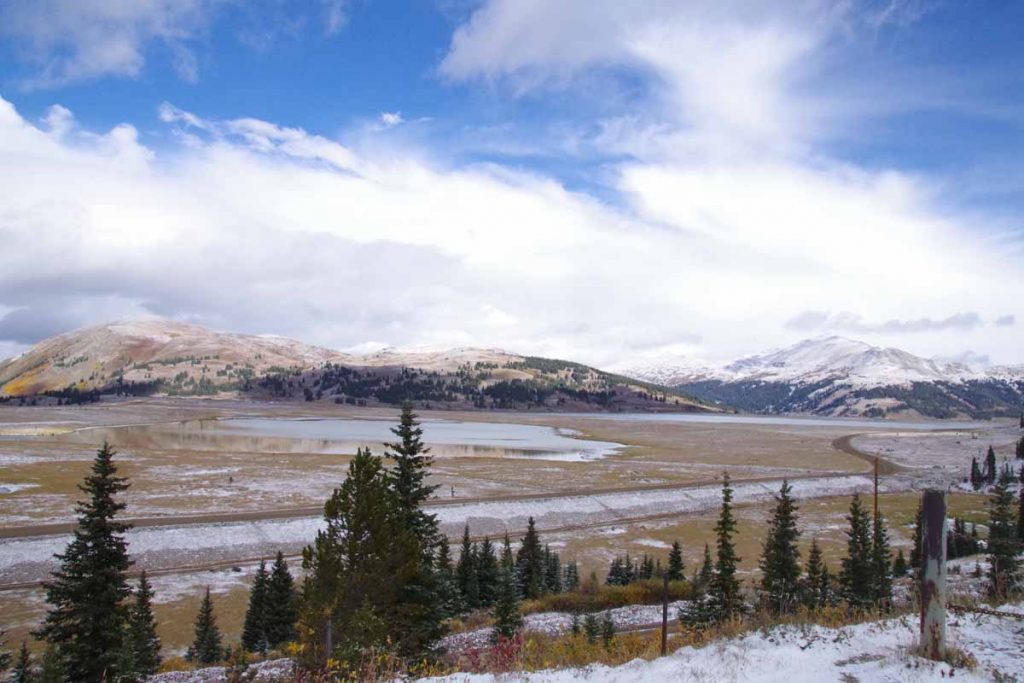
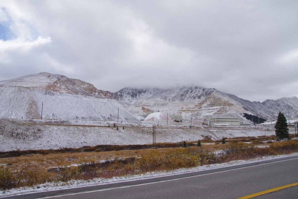
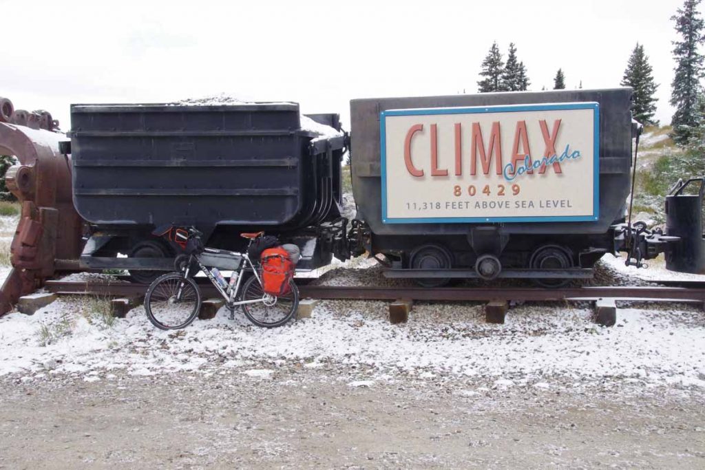
  • Once I crossed Fremont Pass, I was in the Arkansas River headwaters and crossed the Arkansas River several times as I followed the river downhill to Salida.
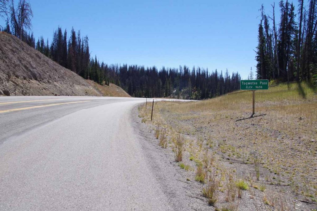
  • Once I crossed Poncha Pass, I came into the Rio Grande River basin. The headwaters are in the San Luis Valley. I crossed the Rio Grande River just before Alamosa.

No other big river basins left, though eventually I’ll need to cross back from the Rio Grande Basin to the Colorado River Basin.
imgp4055
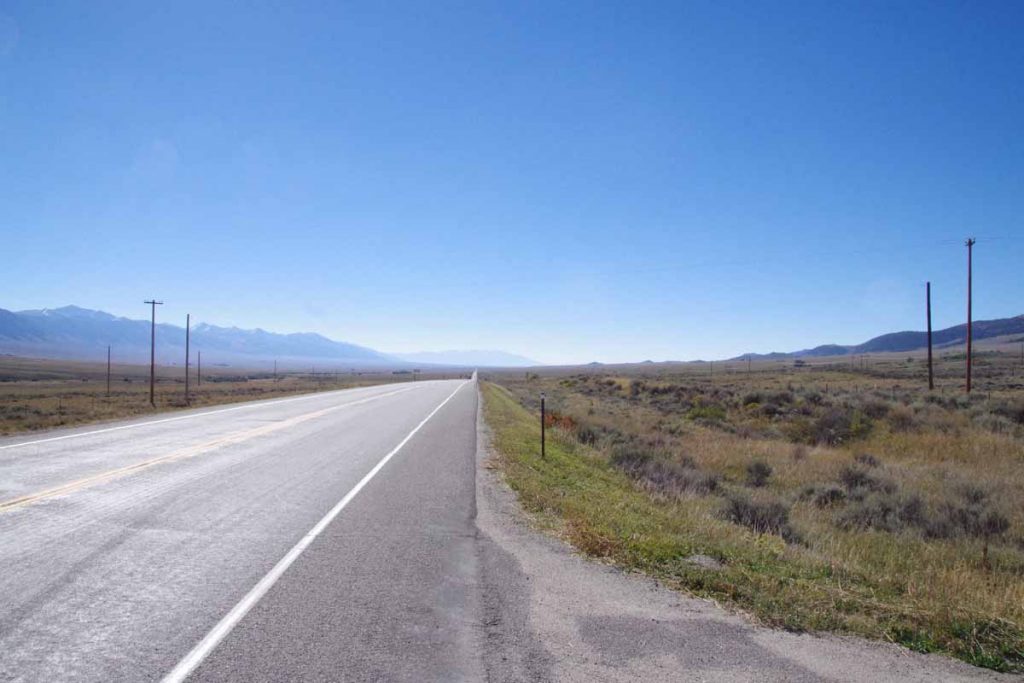
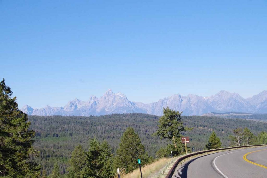
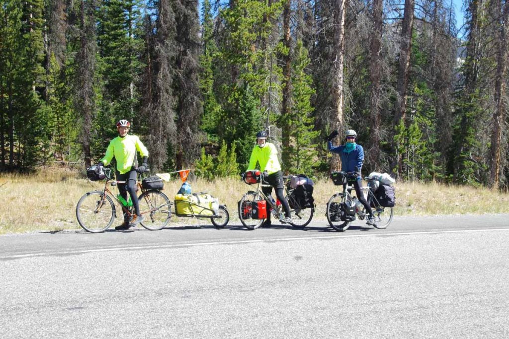
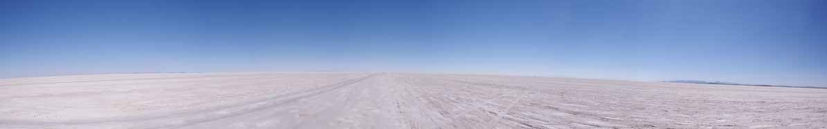
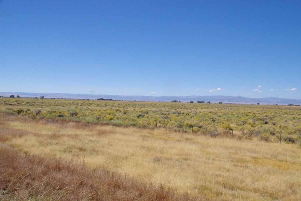
The San Luis Valley is a high-altitude basin of approximately 8000 square miles (122 miles x 74 miles – slightly larger than area of Massachusetts and half the size of the Netherlands). It is flat, open and without trees. Fortunately these two had little wind. I had some gentle descent into the valley and then pretty flat after that.
aimgp4056
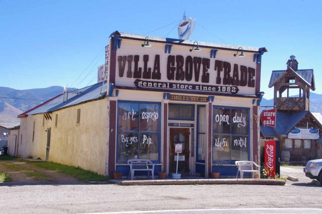
At 25 miles was Villa Grove. An unexpected treat to find this store/cafe. Stopped and had a delicious piece of chocolate pie.
imgp4058
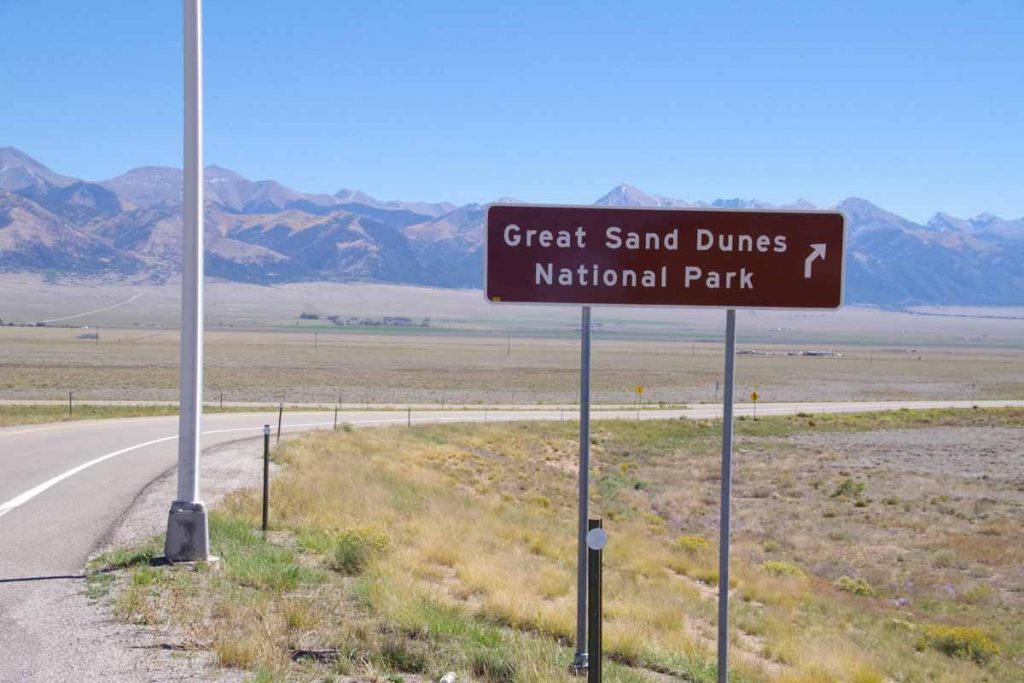
Five miles later was turnoff to CO 17, the smaller road to the Great Sand Dunes. Less traffic and much narrower shoulders.
imgp4061
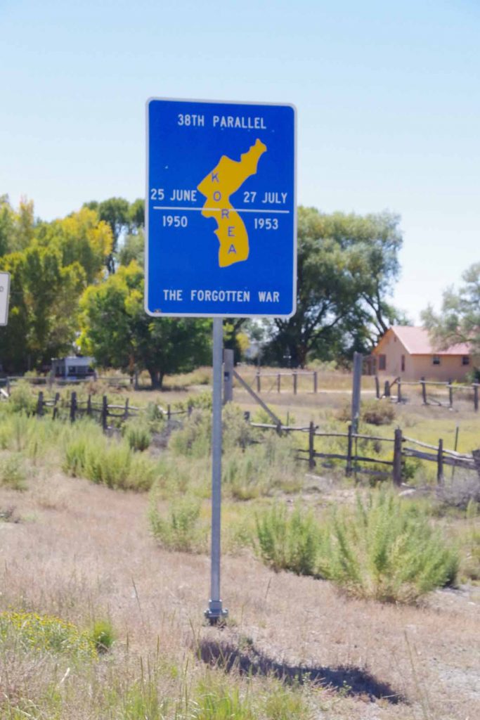
At the town of Moffat, I crossed the 38th Parallel. Here they also had a sign pointing out this was same parallel as original dividing line in Korea. Town is an overstatement as only business establishments consisted of a post office and a small artsy gallery that also served espresso coffee.
imgp4066
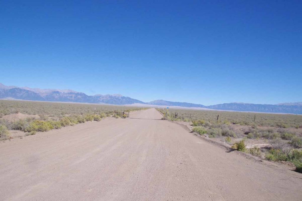
After Moffat another 16 miles south and then I turned to a gravel road. The Great Sand Dunes are in the distance. It was washboard road, but fortunately only 2.7 miles and I was at the Great Sand Dunes Pool and RV Park.
imgp4068
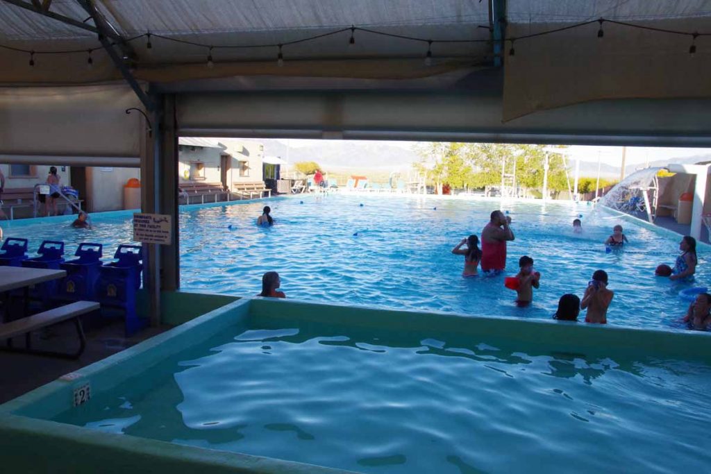
There was a nice swimming pool here as well as a small grill. I had dinner and then went for a swim and soak. In the evening I watched the presidential debate on a TV at the bar.
imgp4070
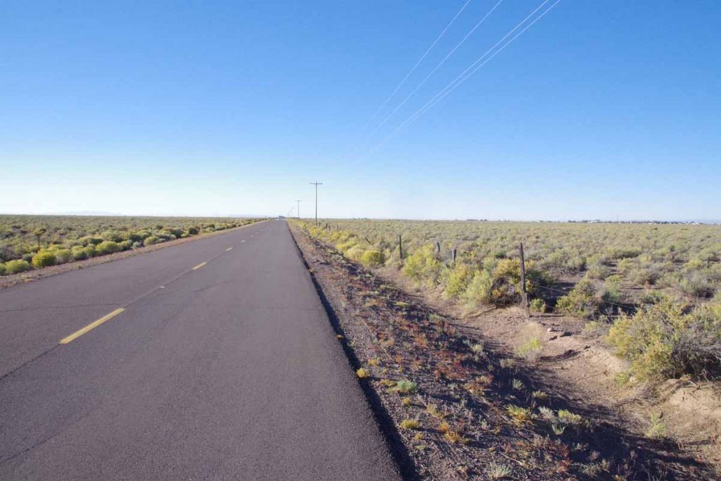
Next morning skies were clear blue again and back cycling through San Luis Valley. The town of Hooper is off in right side of this image. Again, town is an overstatement as nothing was open.
imgp4072
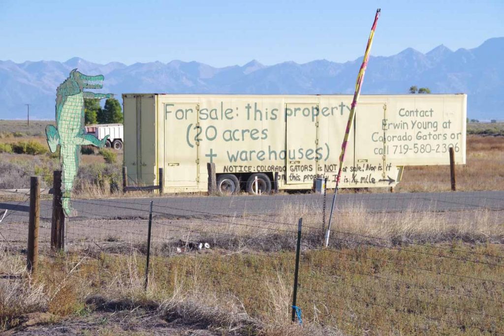
Not much further was an alligator farm. Once can even buy the land next door.
imgp4076
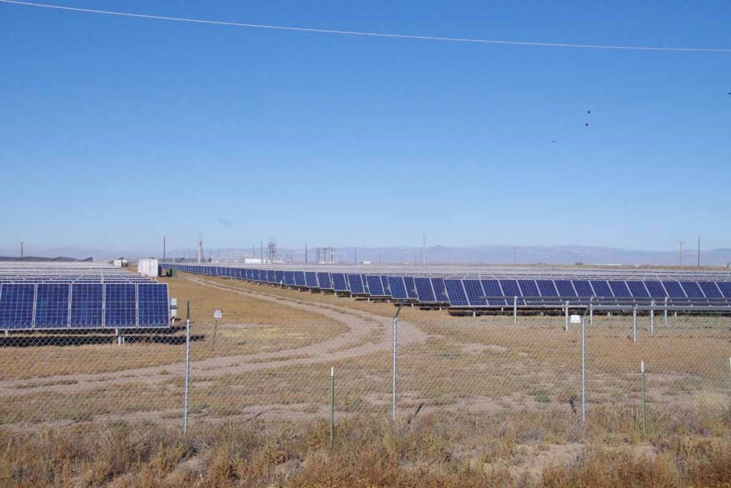
A little before Mosca, was this 30 MW Solar Array. Wikipedia says it was largest installation in the world at time it was completed (2012). Those panels rotate to catch the sun.
imgp4078
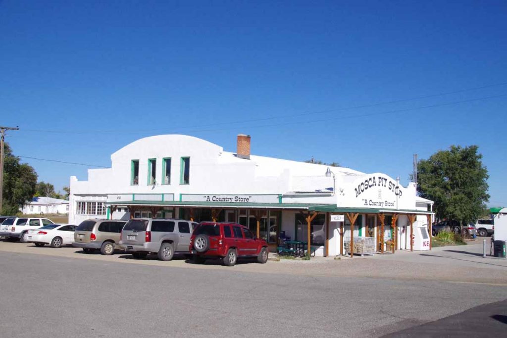
Seven miles past Hooper, Mosca had a store/gas station and chance to get breakfast. After that another 15 miles and I was through Alamosa, the big town for the day.
imgp4079
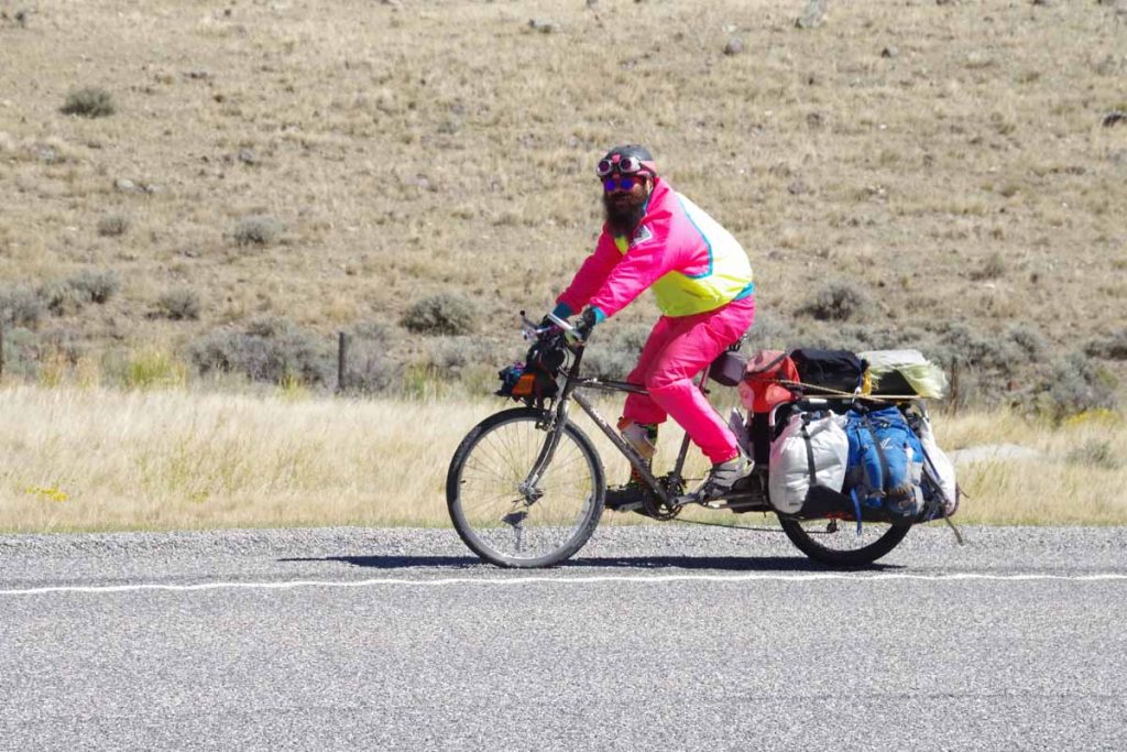
After Alamosa, the route followed the railroad. US285 had nice wide shoulders. There was the slightest incline as I climbed ~300ft in 29 miles to reach Anonito.
imgp4090
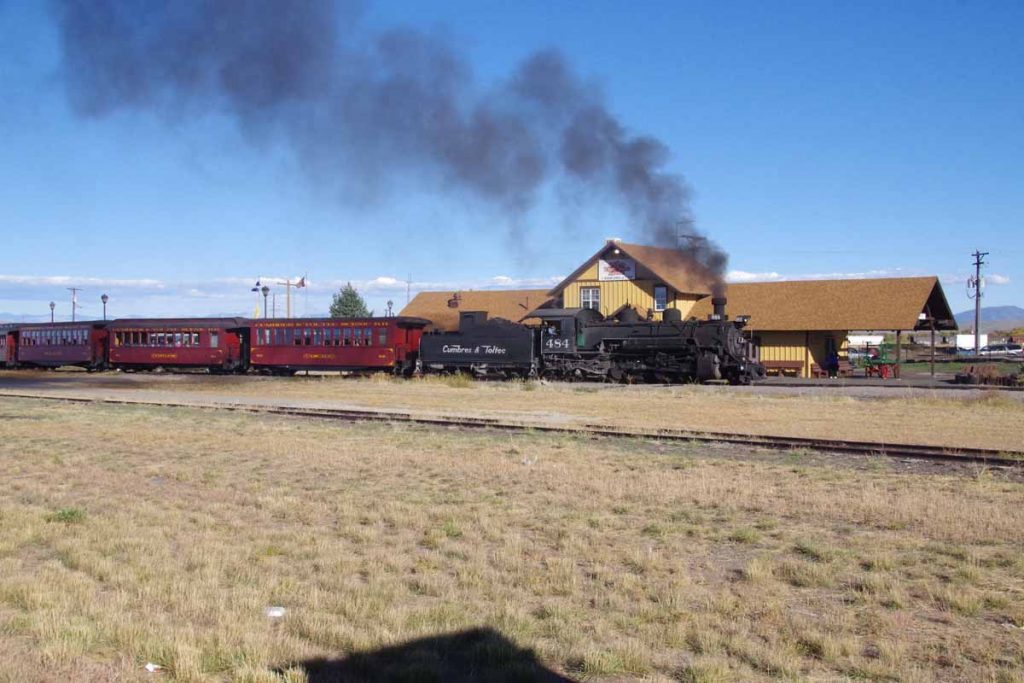
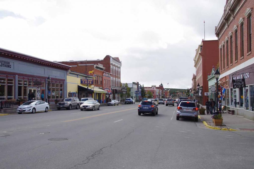
Antonito has a narrow gauge tourist railroad.
imgp4082
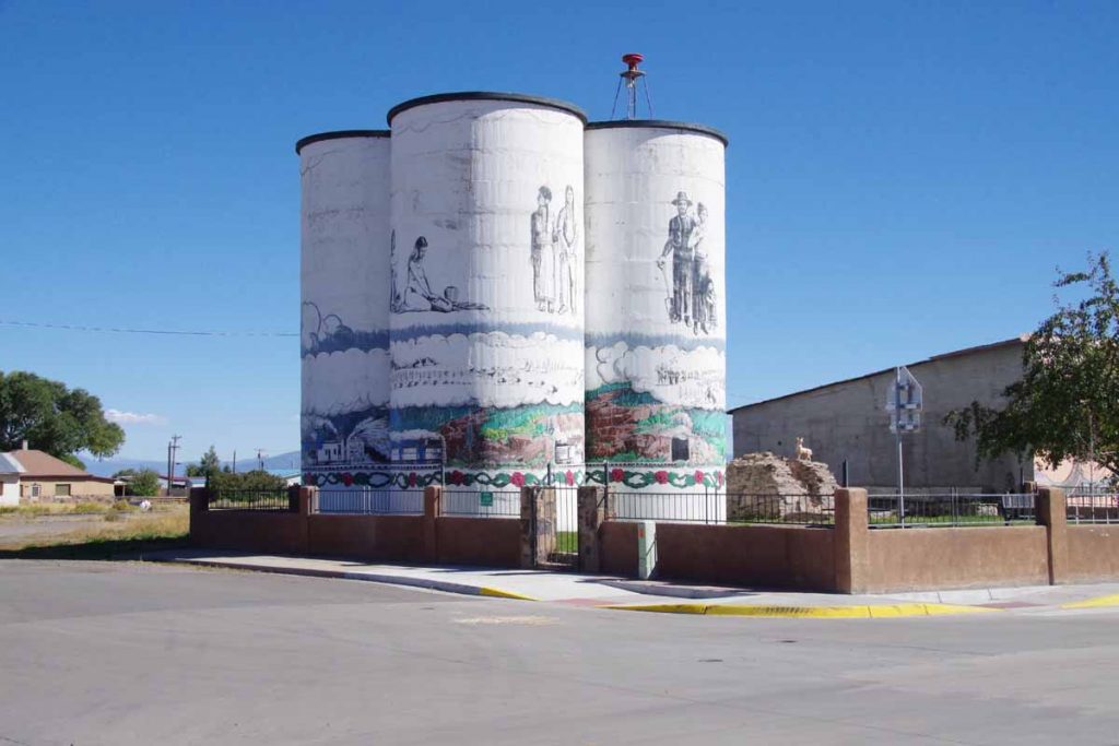
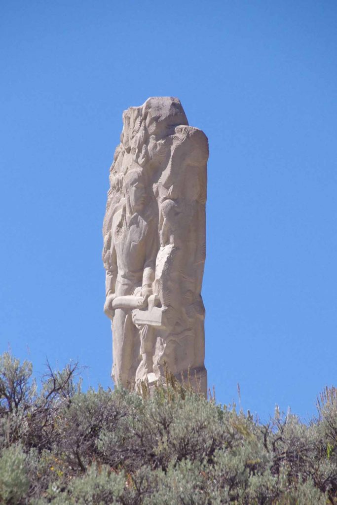
It also has some interesting artwork and paintings. Otherwise a small downtown with grocery and one or two restaurants. Overall two nice and not extremely difficult days of riding to come here.
imgp4085
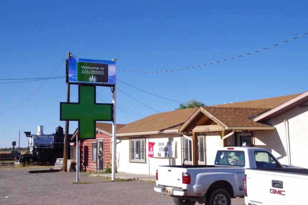
It also has at least three cannabis shops. There might be more of these shops than restaurants in town.

Posted in Colorado, USA | Tagged aligators, pass, pool, solar

Leadville, Fremont Pass

A bicycle ride across the Americas Posted on 2016-09-24 by mev2016-09-24

A chilly ride over Fremont Pass to Leadville.
imgp3991
Yesterday was a quiet rest day in Copper Mountain. It is “mud season” after the summer resort season and not yet ready for ski season. In the afternoon a cold front came through with wind as well as snow flurries. As you can see above, it didn’t really accumulate much and mostly made things wet.
imgp3994
It was cold the next morning and I waited until the sun got a chance to get up. The lowest temperatures my cycle computer showed for the ride was -5C (23F), just a bit on the chilly side for the gear I have with me. At least the storm had passed through and no wind.

After 0.5 miles I reached the junction with CO 91 and climbing began almost immediately. Fortunately a fairly gentle ~3% type grade until the 4.5 mile mark where there was a two mile hill with grades closer to 6%. The climbing took enough effort that I kept warm.
imgp3997
There were road markings left on the road, on photo above you can barely see “Ali” a bit ahead. This was the last part of a sequence on the road: “Float like a butterfly” (0.25 mile gap), “Sting like a bee” (0.25 mile gap), “R.I.P. Ali”. One of the markings indicated it was from RTR (Ride the Rockies). This past summer, the RTR route did the “Copper triangle” from Copper Mountain to Leadville to Vail and back to Copper Mountain. It is also a popular ride other times as well. In any case, nice to have some of the hazards marked and interesting these markings are still there three months after RTR.
imgp4002
After seven miles the road flattened with a majority of the climbing completed. One could look over the large tailing ponds, not frozen yet. The marker above marked the former towns that had been flooded over by tailings and mine debris.
imgp4003
Here is a photo taken right next to the monument.
imgp4007
Not long after this, the last little bit of climbing brought me to summit of Fremont Pass. The marker on left tells that this was also a boundary of the 1803 Louisiana Purchase.
imgp4005
Just before reaching the summit, I could see the Climax Molybdenum Mine. At its peak output, this mine supplied 3/4s of the worlds molybdenum. It was shut down in 1995 and recently reopened in 2012.
aimgp4011
There was a little display here about mining.
imgp4015
Included was a description of the tailings (half a billion tons!) that helped bury little towns below.
imgp4018
From the top of Fremont Pass, the temperature was now up to -1C (30F) and warmed a bit from there. However, there was also a cold west wind and I was no longer climbing, so felt colder on the way down than the way up.
imgp4020
On the way down, this place seemed to broadcast his political views, complete with confederate flag and Trump sign.
imgp4023
Without too much trouble I found my way to Leadville and had lunch in the old downtown.
imgp4025
After that found a place to stay not much further. It was a short ride and never did warm up much – but also nice to see some Fremont Pass again.

Posted in Colorado, USA | Tagged cold, molybdenum, pass

Dubois, over Togwotee Pass

A bicycle ride across the Americas Posted on 2016-09-09 by mev2016-09-09

The objective today was simple: climb ~3000 feet up and over Togwotee Pass and descend the other side to Dubois.
imgp3751
The Tetons were behind me and ~17.5 miles of climbing from Hatchet to the summit with the majority of this in the first half. I got into low gear and slowly went up the hill. At 9 miles was Togwotee Lodge, an upscale place.
imgp3753
I stopped in to buy a candy bar and take a short rest. After this the road was slightly flatter for a few miles and then some shorter steep climbs. While it wasn’t fast, I was happy to get to the summit and see the sign. Hooray!
imgp3757
A slight tailwind had picked up which was also welcome. From here, the first nine miles had more of the descent and then more gradual after that.
imgp3758
Above is a photo of some of the rock formations near the summit. As I descended I came past some burned areas. The Lava Mountain lodge had sign “tx firefighters” so assume the two were related.
imgp3760
These three cyclists started July 17th from east coast and were following the Transamerica Trail to Oregon.
imgp3763
This monument was to “tie hacks”, in particular those whose particular skills were in hacking trees to create well-formed railroad ties. This eventually died off both as demand for railroad ties lessened and as sawmills were used instead.
imgp3764
This cyclist had started in Vermont and was on his way to the west coast.
imgp3765
Tailwinds and a slight descent made for good travels. As I got nearer to Dubois (locals pronounce it as “dew-boys”) the rocks and landscapes also changed. Looks a fair amount dryer than on the west side of the pass.
imgp3766
Nice to reach Dubois and find place to stay. I did investigate this jackalope exhibit, but nothing particularly fancy here.

Posted in USA, Wyoming | Tagged jackalope, pass

Jasper, on to Alberta

A bicycle ride across the Americas Posted on 2016-08-17 by mev2016-08-17

Big thunderstorm as I awoke. Enough to fill all the divots from the rumble strips, but fortunately dry when I left.
IMGP3367
First day full loaded on the mountain bike. Overall I think my average speed was a little slower than the touring bike, though seems like my endurance was roughly the same. I also had somewhat less things, both the items I left behind and only having two panniers to carry everything.

The first 17km retraced my steps to Robson Visitor Center. Above you can see the “after” picture with my bicycle. In the 10km after the visitor center was a substantial portion of the climb for the day. I put it in low gear and slowly wound my way up the hill.
IMGP3368
A little past the top was Moose Lake and for rest of the day no huge climbs until after Jasper, though some smaller ones to keep everything challenged. Photo above was Moose Lake and then Emerald Ridge in the background.
IMGP3377
The peaks in Robson park were already stunning and could tell I was coming into the Rockies.
IMGP3380
Not far from the border was a rest area with this sign about internment camps for Japanese-Canadians during the second world war. Interesting to see this also happened in Canada, particularly after my visit to Topaz in 2013. Also interesting to see the Canadian government had also put the “Acknowledgement” sign below
IMGP3382
Not much past that I was at top of Yellowhead pass
IMGP3383
This was border with Alberta
aIMGP3388
A new time zone
IMGP3386
As well as boundary of Jasper National Park. Five kilometers past the park boundary was an entrance station where I paid fees so I could stay overnight the next six nights in Jasper and Banff National Parks. The next 20km was to Jasper town and was almost level with not much drop from the pass. I did spot a few cyclists again.
IMGP3391
Without much difficulty I found myself at 104km into Jasper town itself. I found a bike shop and bought two inner tubes and also a restaurant and grocery to refuel for both afternoon and next several days.

However, I wasn’t done for the day as my campground was located 18km south of town. Sounds like good advice below, though not real practical if your “vehicle” is a bicycle.
IMGP3393
I took the main road and slowly headed south. At 10km was a split into the 93A which went on west side of the river where campground was located.
IMGP3394
There was a surprisingly big hill in those last 8km and then a descent back down to the river. Overall 122km and a long day. At the campground entrance they informed me they didn’t have bear lockers and if I had food, I would need to give it to them for safe keeping. I asked if instead I might have a fellow camper in next site lock things up. Fortunately, they agreed and fortunately friendly folks across the way kept my food bag for the night.

Posted in Alberta, British Columbia, Canada | Tagged Jasper, National Park, new bike, pass, tubes
©2023 - A bicycle ride across the Americas - Weaver Xtreme Theme
↑