Leadville, Fremont Pass
A chilly ride over Fremont Pass to Leadville.
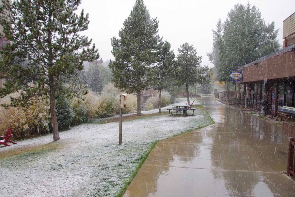
Yesterday was a quiet rest day in Copper Mountain. It is “mud season” after the summer resort season and not yet ready for ski season. In the afternoon a cold front came through with wind as well as snow flurries. As you can see above, it didn’t really accumulate much and mostly made things wet.
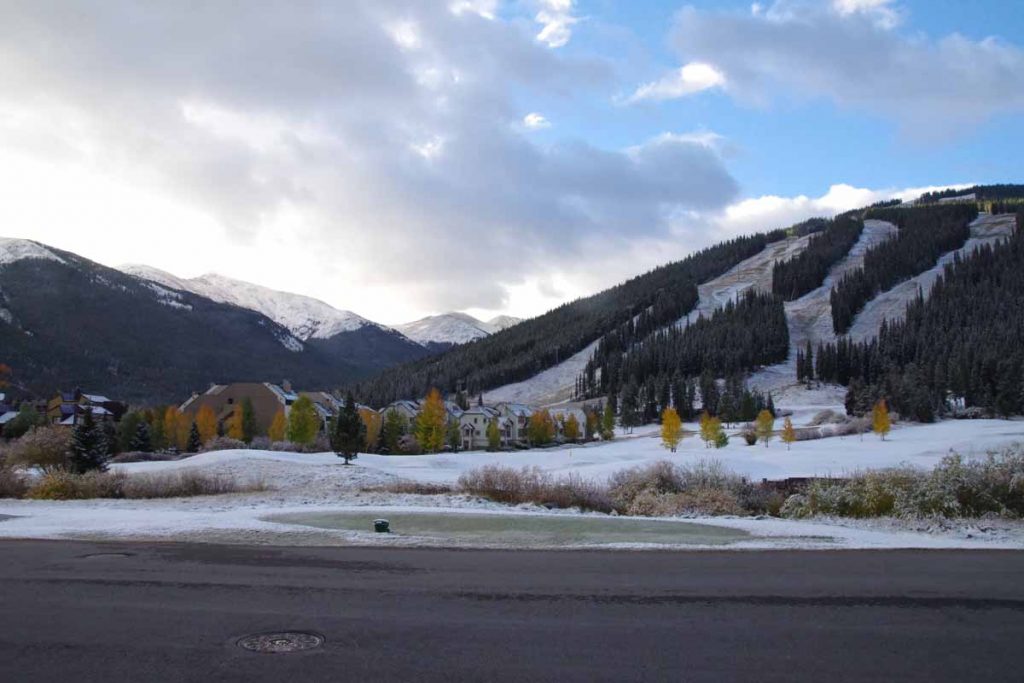
It was cold the next morning and I waited until the sun got a chance to get up. The lowest temperatures my cycle computer showed for the ride was -5C (23F), just a bit on the chilly side for the gear I have with me. At least the storm had passed through and no wind.
After 0.5 miles I reached the junction with CO 91 and climbing began almost immediately. Fortunately a fairly gentle ~3% type grade until the 4.5 mile mark where there was a two mile hill with grades closer to 6%. The climbing took enough effort that I kept warm.
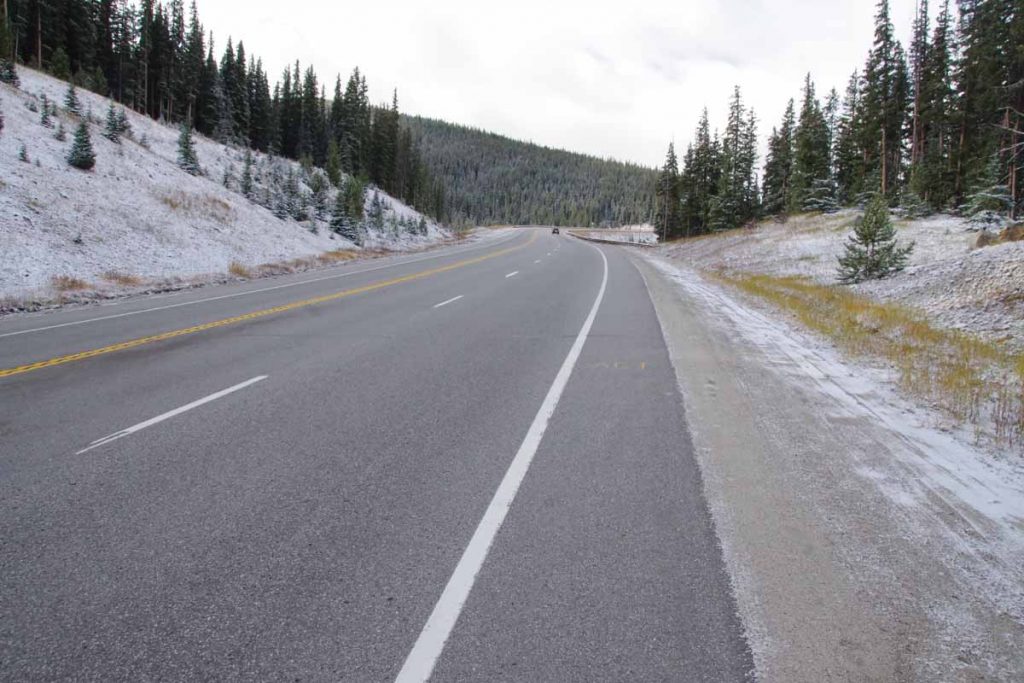
There were road markings left on the road, on photo above you can barely see “Ali” a bit ahead. This was the last part of a sequence on the road: “Float like a butterfly” (0.25 mile gap), “Sting like a bee” (0.25 mile gap), “R.I.P. Ali”. One of the markings indicated it was from RTR (Ride the Rockies). This past summer, the RTR route did the “Copper triangle” from Copper Mountain to Leadville to Vail and back to Copper Mountain. It is also a popular ride other times as well. In any case, nice to have some of the hazards marked and interesting these markings are still there three months after RTR.
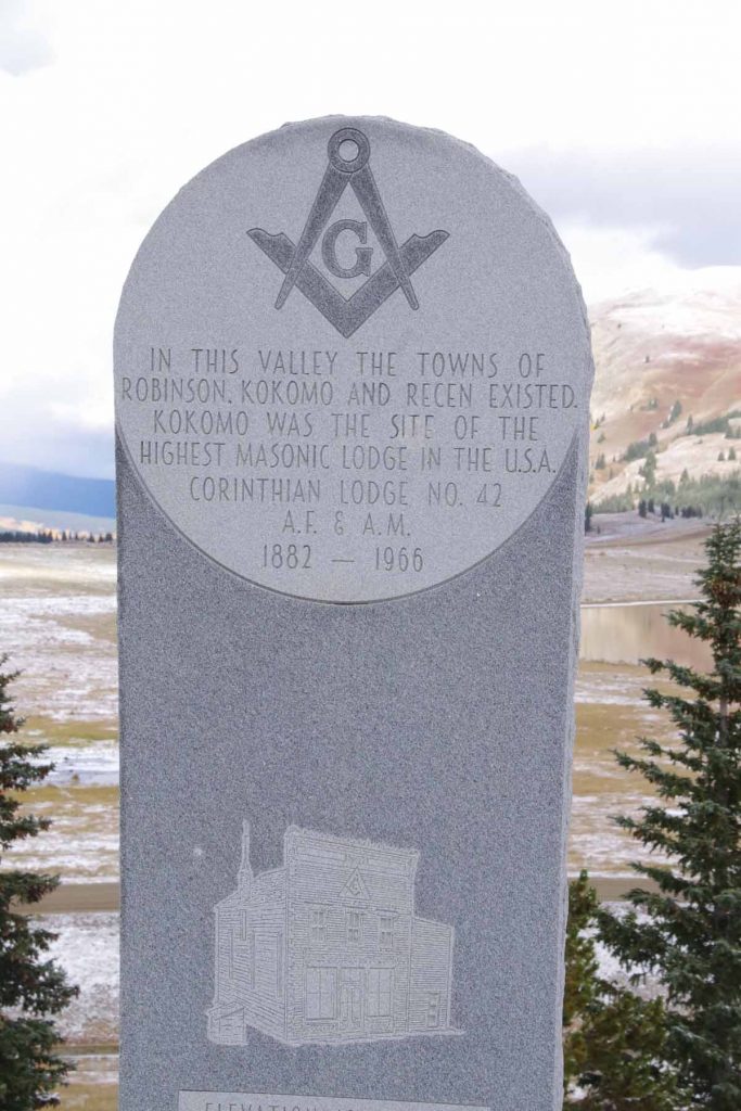
After seven miles the road flattened with a majority of the climbing completed. One could look over the large tailing ponds, not frozen yet. The marker above marked the former towns that had been flooded over by tailings and mine debris.
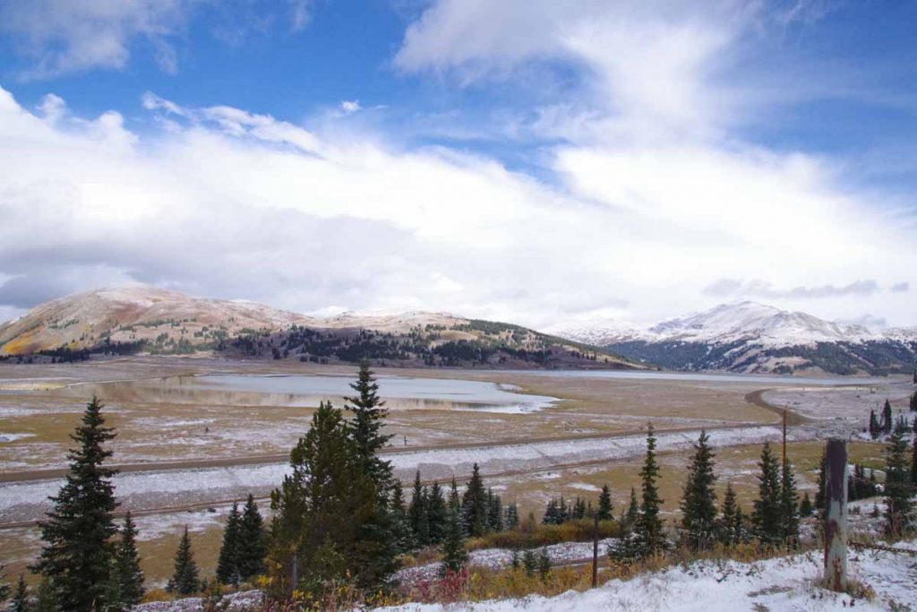
Here is a photo taken right next to the monument.
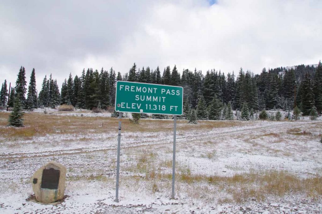
Not long after this, the last little bit of climbing brought me to summit of Fremont Pass. The marker on left tells that this was also a boundary of the 1803 Louisiana Purchase.
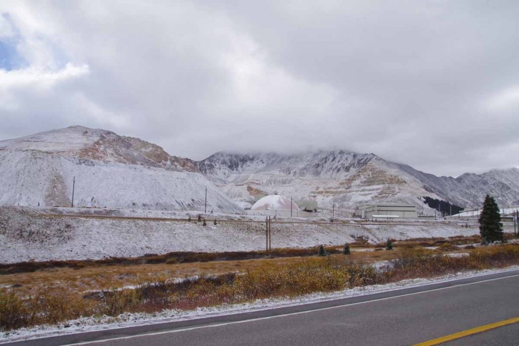
Just before reaching the summit, I could see the Climax Molybdenum Mine. At its peak output, this mine supplied 3/4s of the worlds molybdenum. It was shut down in 1995 and recently reopened in 2012.
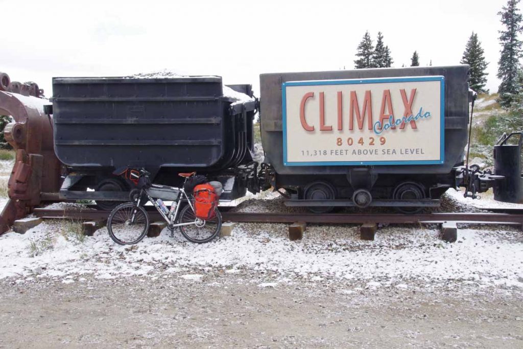
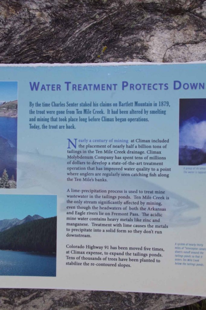
There was a little display here about mining.
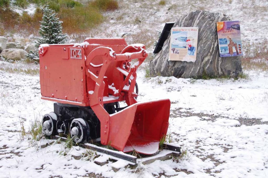
Included was a description of the tailings (half a billion tons!) that helped bury little towns below.
From the top of Fremont Pass, the temperature was now up to -1C (30F) and warmed a bit from there. However, there was also a cold west wind and I was no longer climbing, so felt colder on the way down than the way up.
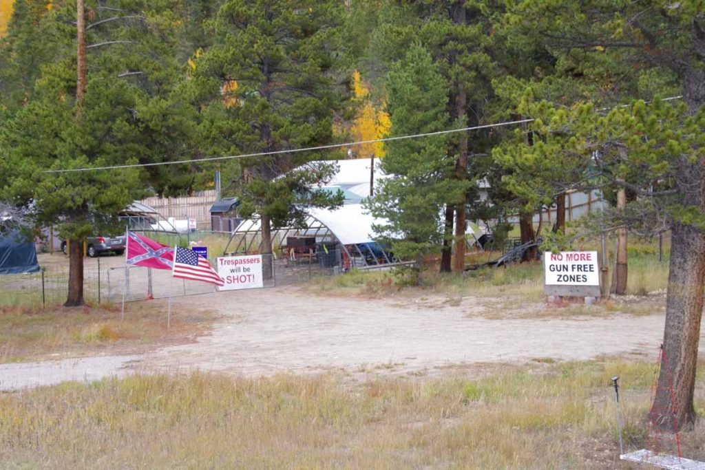
On the way down, this place seemed to broadcast his political views, complete with confederate flag and Trump sign.
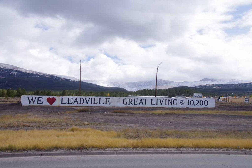
Without too much trouble I found my way to Leadville and had lunch in the old downtown.
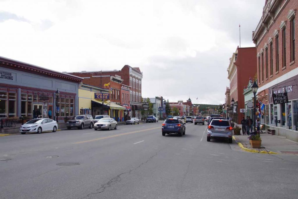
After that found a place to stay not much further. It was a short ride and never did warm up much – but also nice to see some Fremont Pass again.

San Diego, CA 93 degrees today and dry. Remarkable contrast to Leadville/Freemont.