Salida
Downhill, little wind and warmer. Big contrast today from yesterday as I followed the Arkansas Valley downhill from Leadville to Salida. While it was a route I’ve done multiple times, I still enjoy coming down past the Sawatch range and the 14ers.
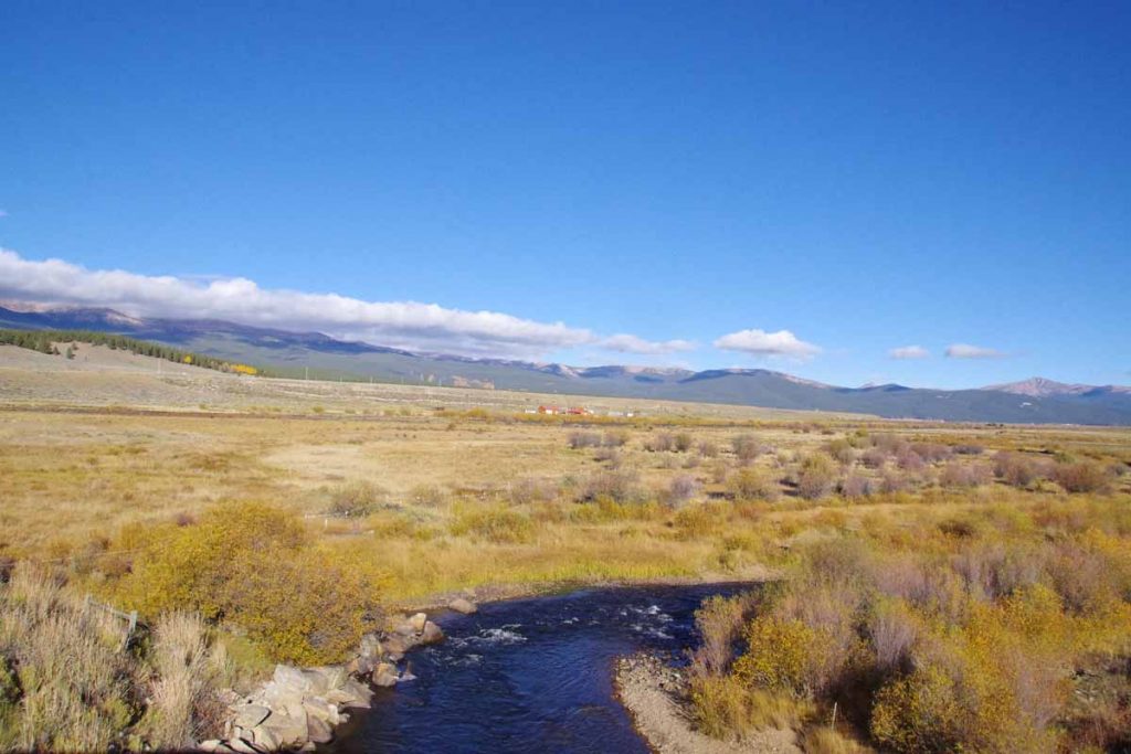
It was barely below freezing starting out. I had a nice descent from Leadville but that also meant less pedaling to keep warm. In photo above, I crossed the Arkansas River. Still pretty small here. The valley opened up, but fortunately not much wind either direction.
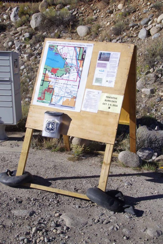
At 14 miles was a turnoff to CO 82 for Twin Lakes as well as the road that goes over Independence Pass. The sign indicated there was a scheduled burn to get rid of extra fuel. After this the road went through more of a small canyon and past the town of Granite.
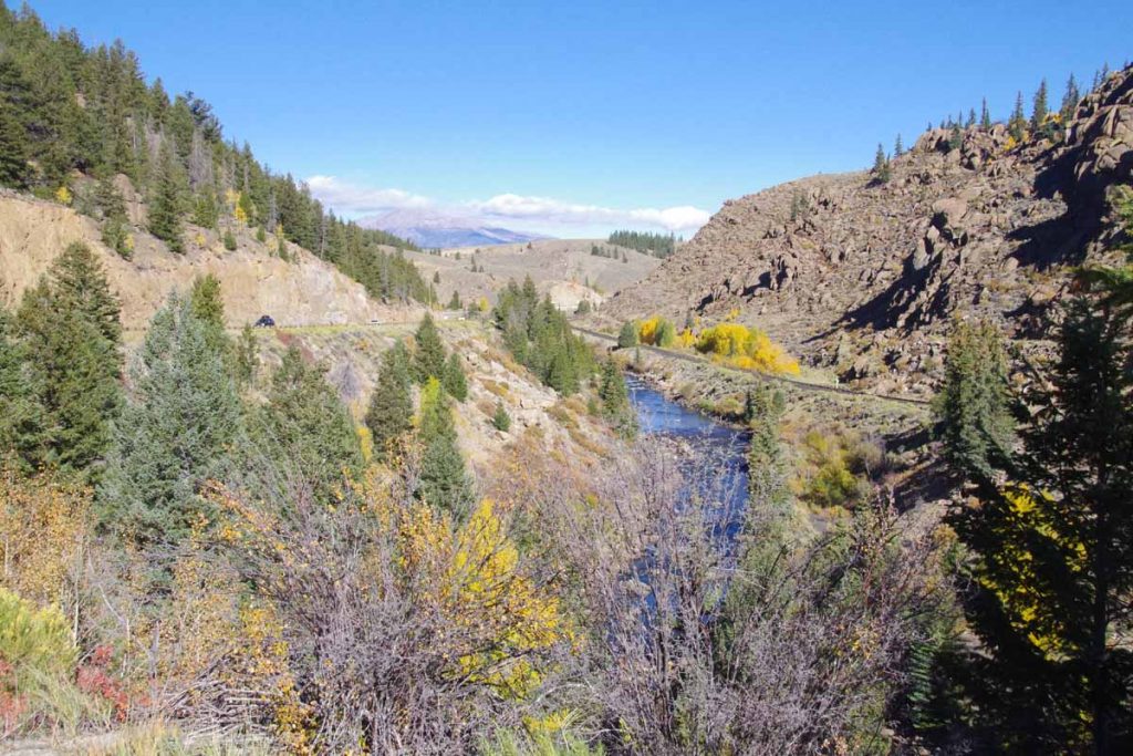
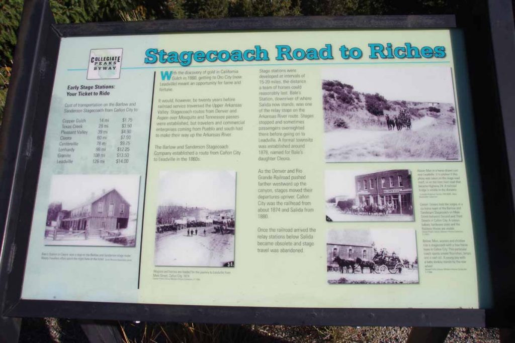
Picture above shows both the canyon, railroad and remains of a stagecoach road. The stagecoach route was created when Leadville had its gold and silver rush.
After this through the town of Buena Vista. The main street was narrowed due to construction, but traffic otherwise well-behaved. A short refuel stop before going on the road.
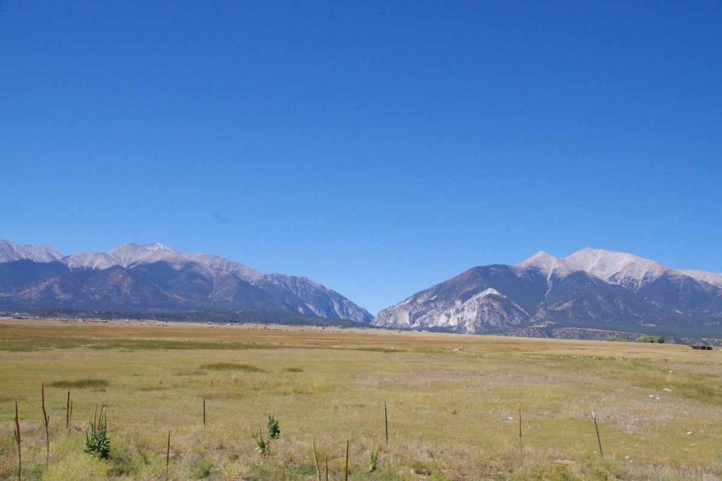
Photo above is Mount Princeton and Antero. Looking back at my photos, many of them were of the different 14ers as I came past, though there is also some similarity.
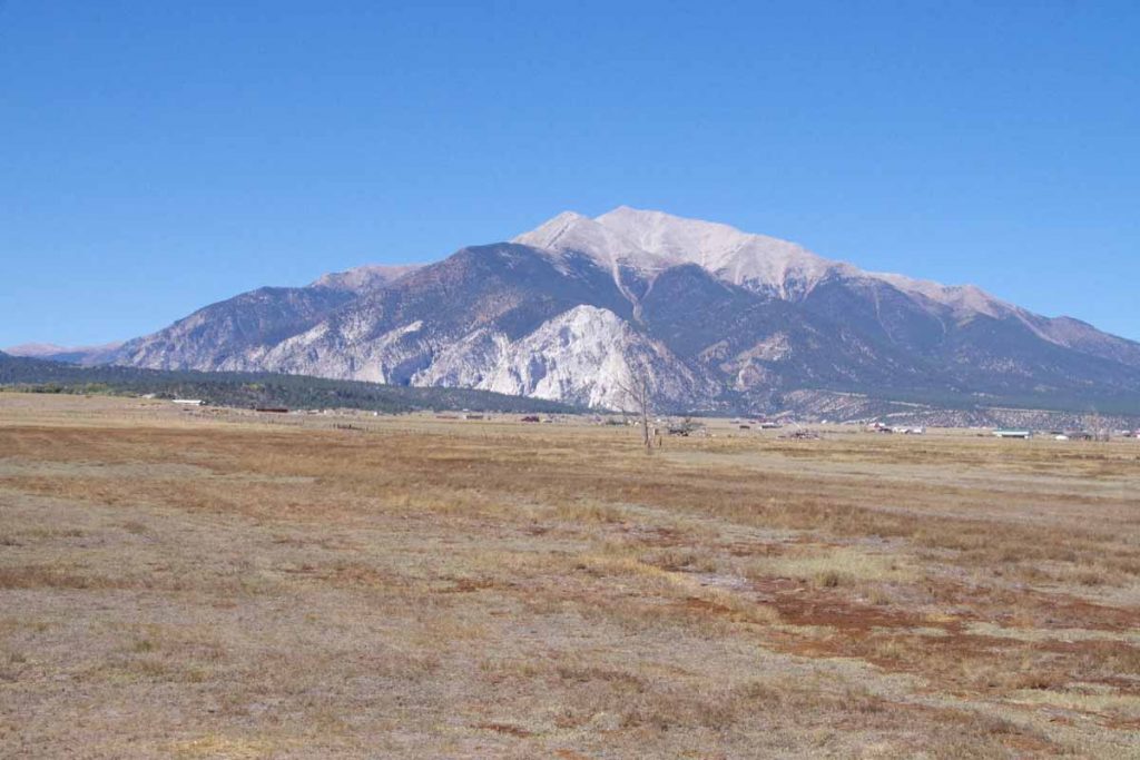
Mount Princeton is interesting because of the white “chalk”, which is actually coloration of the granite coming from mineral springs.
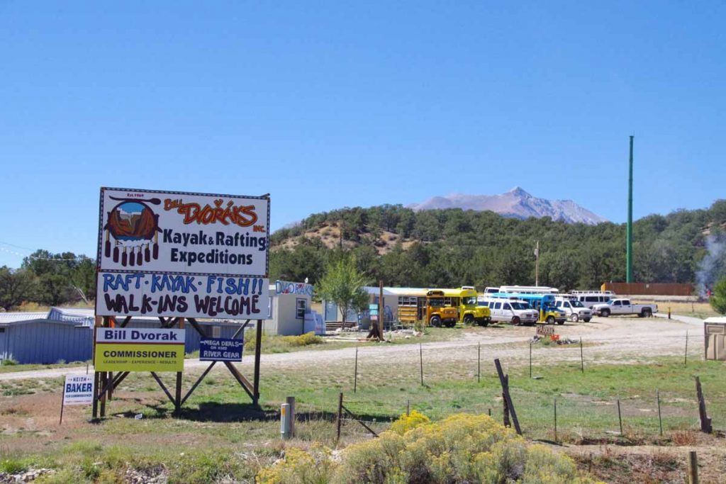
Rafting is a huge business during the summer. Places along the road seem to mostly be closed for the season.
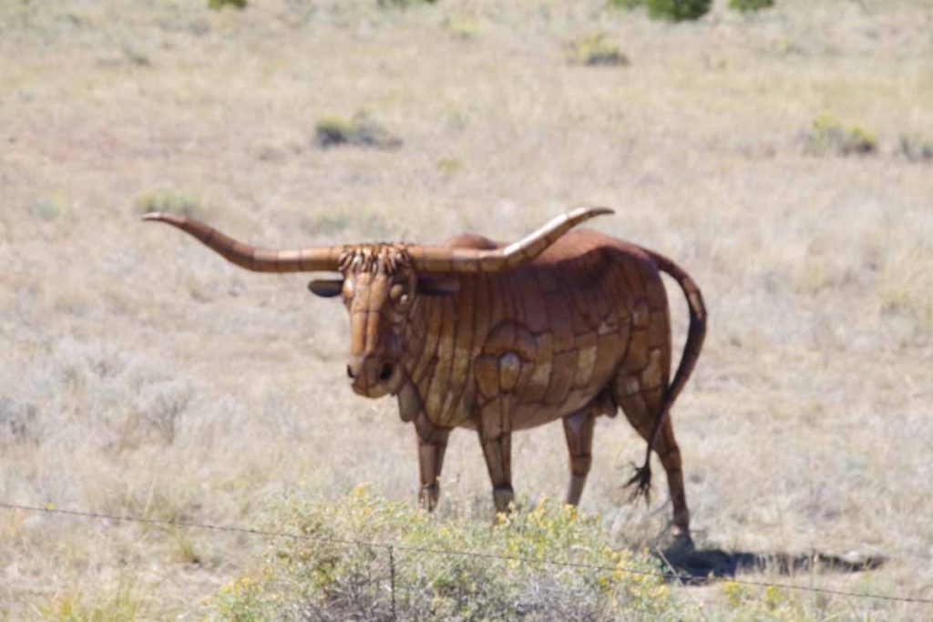
Past some ranches and cattle as well as this fake bull.
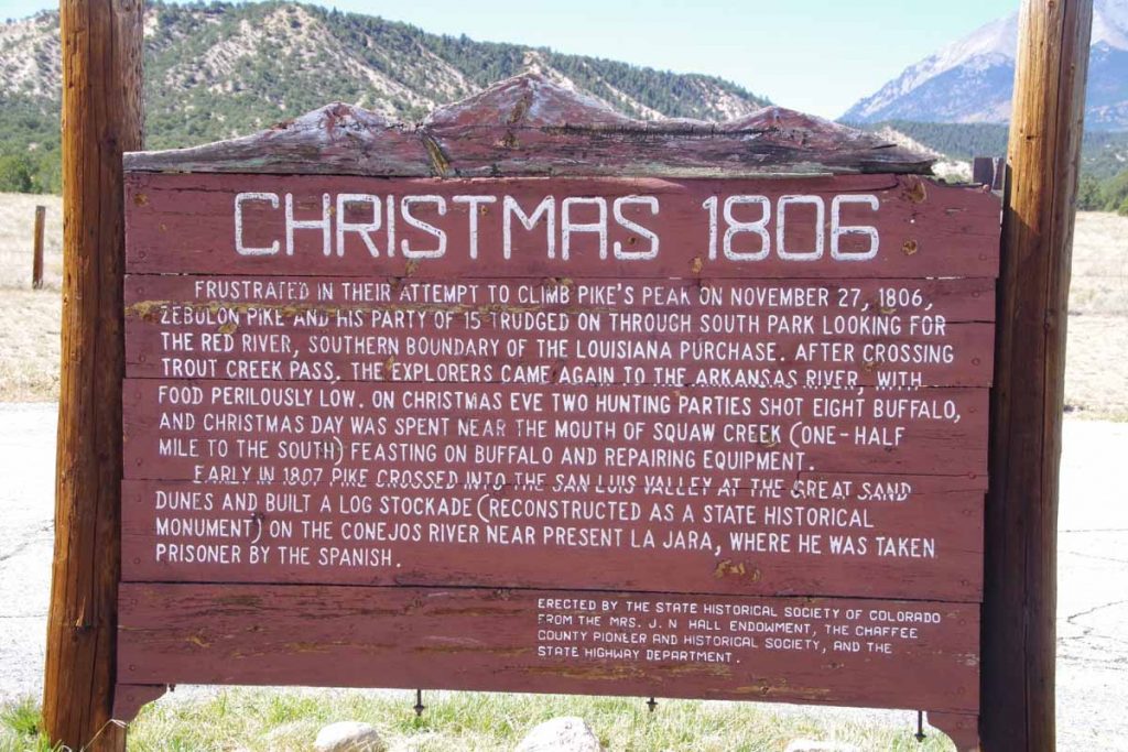
Sign about the early Pike expedition through the area.
At 49 miles the road split and I took the high road to Poncha Springs. It went over a small ridge and back up to 7600ft before I turned back onto US 50 and descended back to Salida. Overall nice to have an easier ride today. Otherwise get ready for another pass (Poncha Pass) tomorrow.
