↓
 

A bicycle ride across the Americas

from Deadhorse (SCC) to Ushuaia (USH)

  • Home
  • Plan
  • Blog
  • Photos
  • FAQ
    • Why?
    • Where?
    • What next?
  • Map
  • Equipment
  • Calendar
  • Countries
    • USA
      • Alaska
      • Montana
      • Wyoming
      • Colorado
      • New Mexico
      • Arizona
      • California
      • Texas
    • Canada
    • Mexico
    • Guatemala
    • Honduras
    • Nicaragua
    • Costa Rica
    • Panama
    • Colombia
    • Ecuador
    • Peru
    • Bolivia
    • Chile
    • Argentina
  • Weather
  • Links
  • Contact
Home→Categories Mexico→Morelos

Category Archives: Morelos

Izucar de Matamoros

A bicycle ride across the Americas Posted on 2017-01-15 by mev2017-01-15

So long pine trees, hello again palm trees and sugar cane.

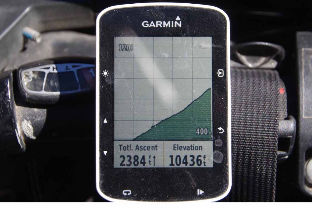
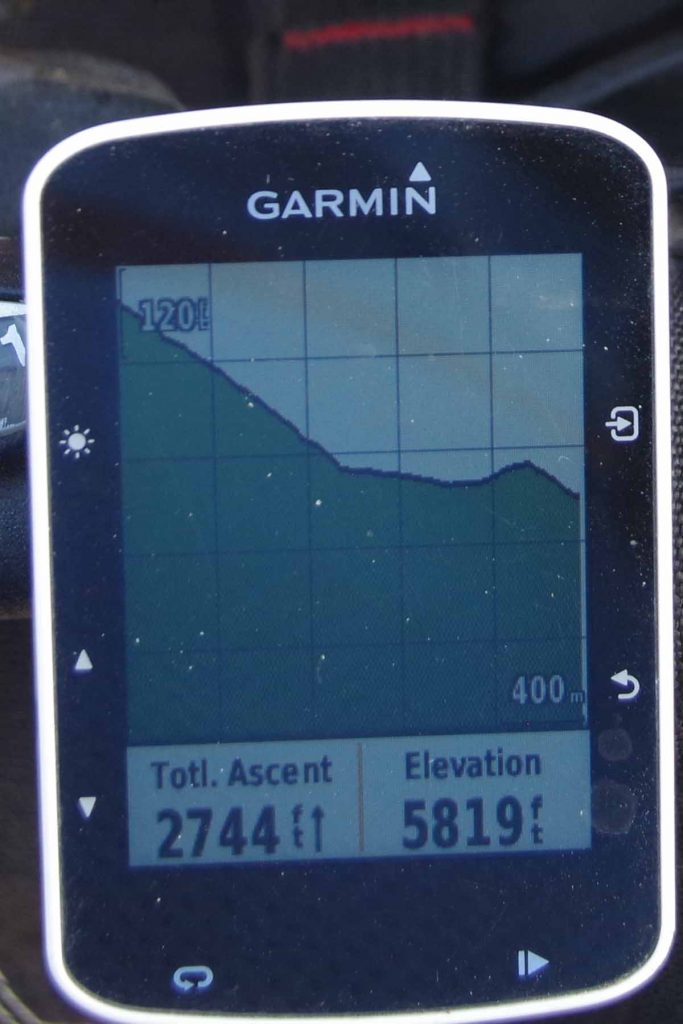
Yesterday a relaxing day in Cuernavaca so was fresh on the road this morning. Today had some climbs (982m according to odometer) but more descents than climbs so I’ve now transitioned into warmer region and different crops.

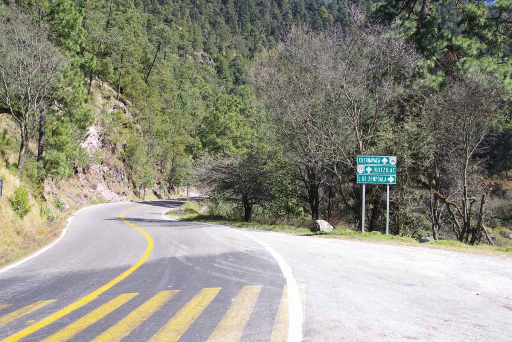
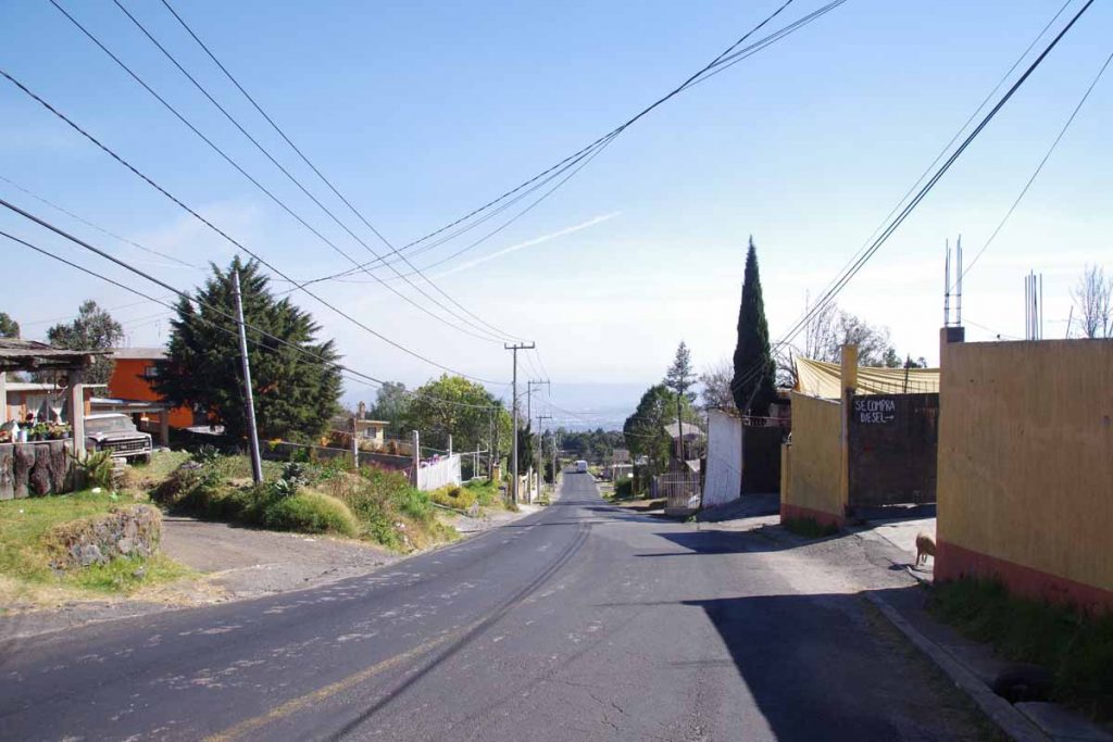
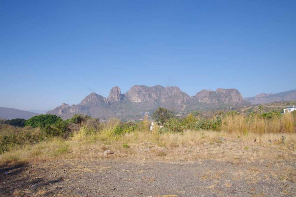
The first 16km I took a back road to Tepoztlan. It started out urban and more downhill but I ended up climbing it all back up the last few kilometers. Photo above is looking down over urban areas of Cuernavaca.

At this point I was on 160D and descended from 1800m to 1300m. This road wasn’t as much fun as the shoulder was narrow with a rumble strip. So I alternated between descending on the highway and shifting over to the shoulder. Fortunately, once this bottomed out near kilometer 30, the road became a wider cuota with a wider shoulder.

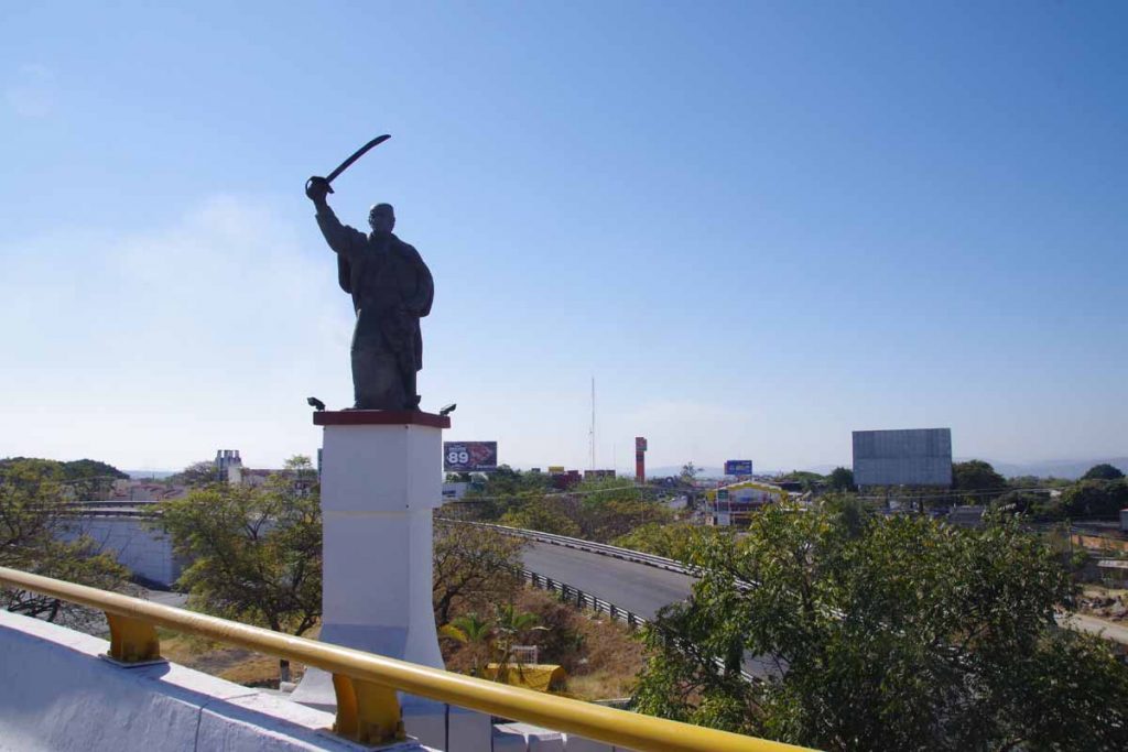
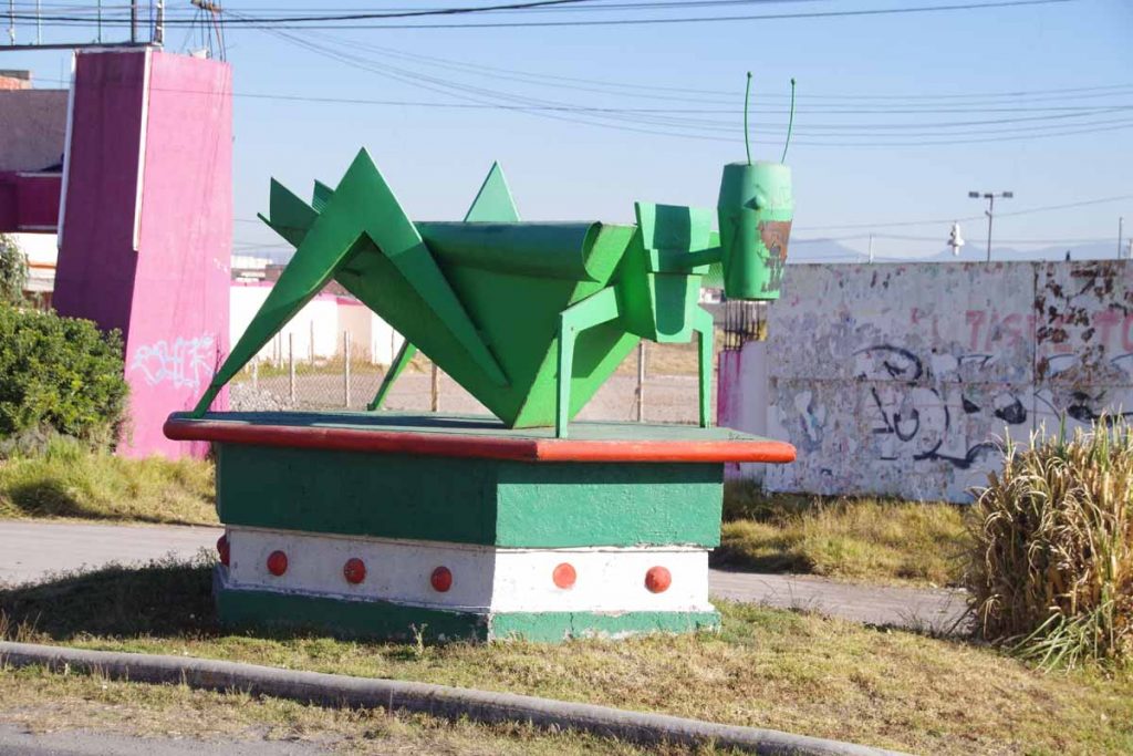
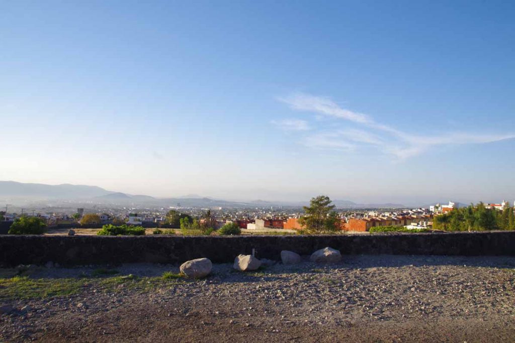
Also had some more traffic, but overall not real busy. Near 45km, I came past turnoff to Cuautla where this fierce looking statue was overlooking the commercial billboards. I ended up on a bypass with a bit of climbing and then back out into rural areas again.

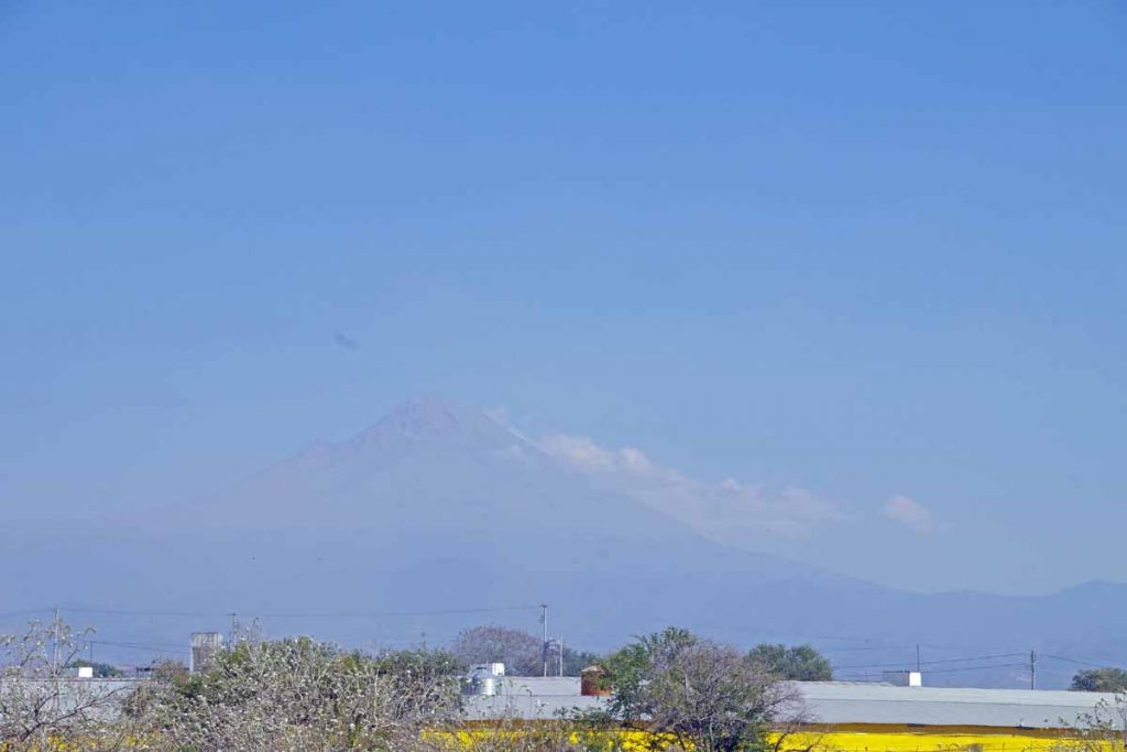
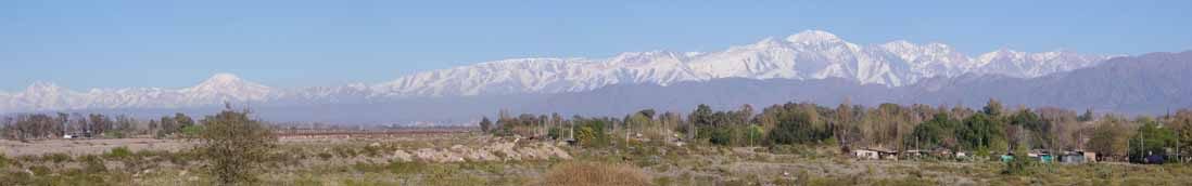
It was a bit hazy but off to the left I could see Popocatepetl. This active volcano is Mexico’s second tallest peak at 5426m (17,802ft). It is also North America’s fifth tallest peak.

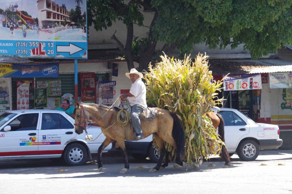
I’ve seen a few more horses being used today. One horse has the rider and the other the crops.

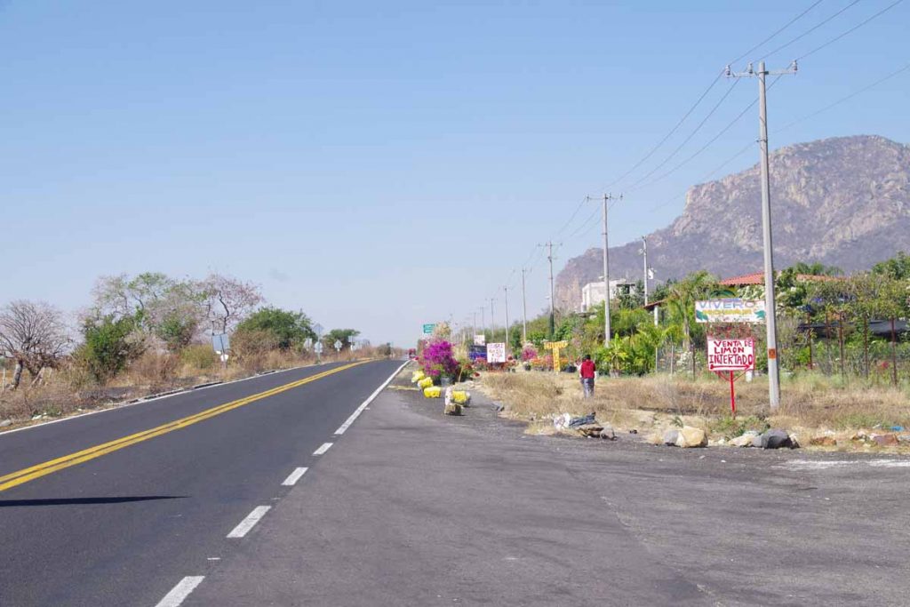
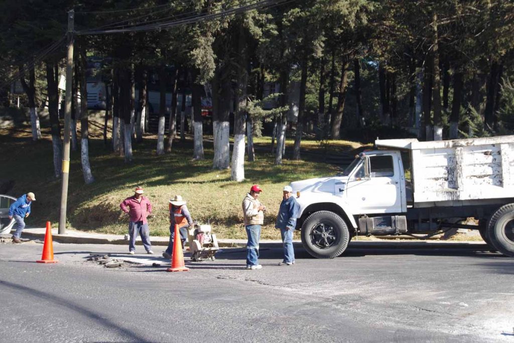
By afternoon it was getting warmer, but still pretty riding. By now the road had also narrowed to two lanes without much shoulder. However, there also wasn’t much traffic.

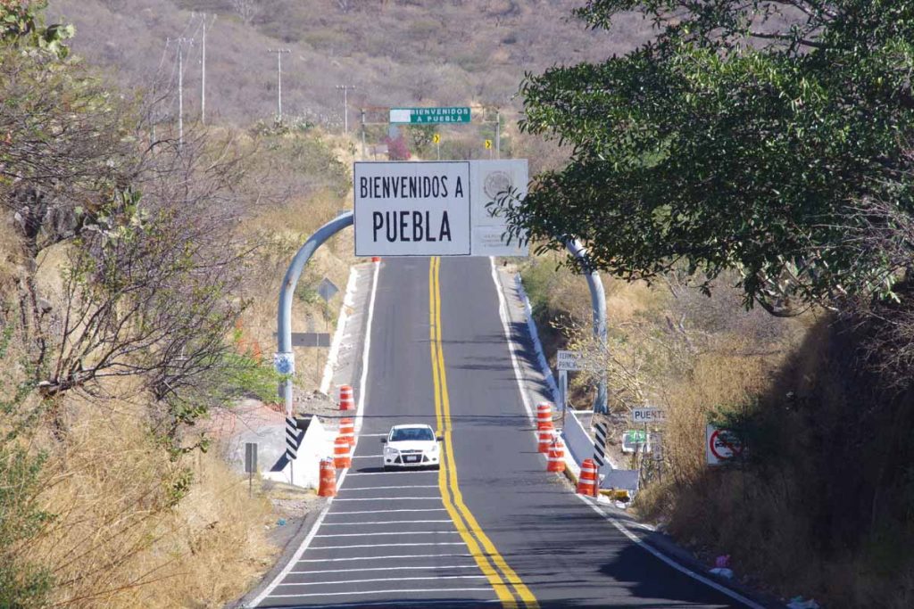
I crossed the border to Puebla state, the 7th state I’ve cycled in Mexico. Best guess is 72 states total: 50 in the USA, 7 in Mexico, 6 in Australia, 6 in India and 3 in Germany. Other nations call their subdivisions other names like provinces, oblasts, departments, districts, etc so didn’t count those.

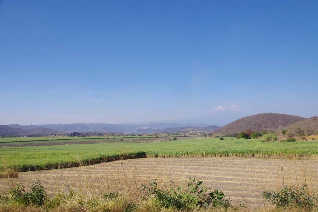
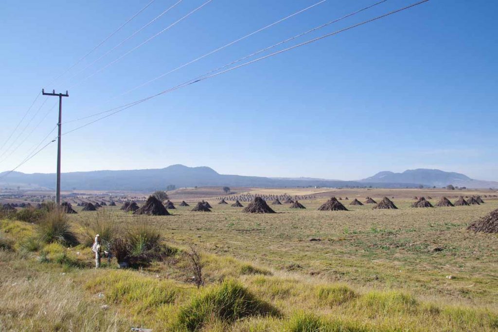
Here was a good example of fields of sugar cane.

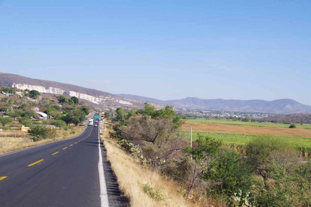
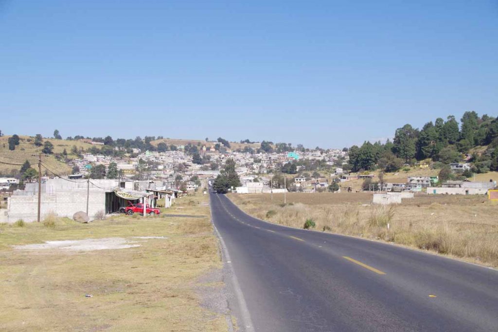
I was happy to see Izucar de Matamoros appear ahead. Found a reasonable spot to stay.

During my rest day also sorted out a bit of road ahead. I’m about 327km from Oaxaca. Plan is to stop there and take a five day Spanish language class. At end of that class, I’ll be joined by another cyclist and plan is to ride with two of us to family he has in Costa Rica. Look forward to cycling with two of us, and coincidentally Guatamala, Honduras and Nicaragua are good places to ride with more than one.

Posted in Mexico, Morelos, Puebla

Cuernavaca

A bicycle ride across the Americas Posted on 2017-01-13 by mev2017-01-13

Over a big hill today with a lot of descent, some of it steep. Otherwise, riding today had a bit of everything: busy highways, small villages, a climb through pine trees and descent. A lot of descent.

The first 8km were leaving Toluca following highway 55. It was busy, but usually had a shoulder and I was already part of the way out of the city. At the 8km mark, an exit took me under the highway in a small one-car width tunnel. The roads now took me through several villages. The small roads and village roads have frequent “tope” or speed bumps, so I would also slow to carefully go over. It was relatively flat and road conditions varied.

At 23km, I turned south and came through a bit more hilly region.

Still a few agricultural fields though.

This photo was looking back at a village I had crossed. I was surprised at how many businesses were advertising as roadside restaurants and the like. Not sure if this is otherwise a vacation region for those from Mexico City urban areas or otherwise.

These folks were having a meal in one of the villages.

The other thing I noticed were a surprising number of “WC” signs. Not sure if this is the English “water closet” aka toilet or something else, but at least in sign above they seem related.

At 40km, I came to junction in village of Santa Martha. I was at 2800m (~9400ft) elevation and a small road led further uphill. I filled up on water and got a snack before setting off for a slow climb.

At 47km, was close to my top elevation. From here a reasonable descent, though the road was sometimes rough.

It was a nice and winding road and came along a park. Not far from here I also crossed into Morelos state, though I didn’t actually see signs.

By 65km, I had pretty much crossed over and could see Cuernavaca nearly 1000m further below. The next parts of road were very steep. I’m not that good at steep downhill so kept it cautious and rode down using my brakes a fair amount as well as stopping a few times. Fortunately, 10km further brought me to northern outskirts of Cuernavaca and reasonable place to stay.

I am now closer to 1800m again and days will again be a bit warmer. I’m also still several kilometers from city center (and several hundred meters higher), though don’t plan to ride through middle of this city.

Posted in Estado de Mexico, Mexico, Morelos
©2023 - A bicycle ride across the Americas - Weaver Xtreme Theme
↑