↓
 

A bicycle ride across the Americas

from Deadhorse (SCC) to Ushuaia (USH)

  • Home
  • Plan
  • Blog
  • Photos
  • FAQ
    • Why?
    • Where?
    • What next?
  • Map
  • Equipment
  • Calendar
  • Countries
    • USA
      • Alaska
      • Montana
      • Wyoming
      • Colorado
      • New Mexico
      • Arizona
      • California
      • Texas
    • Canada
    • Mexico
    • Guatemala
    • Honduras
    • Nicaragua
    • Costa Rica
    • Panama
    • Colombia
    • Ecuador
    • Peru
    • Bolivia
    • Chile
    • Argentina
  • Weather
  • Links
  • Contact
Home→Categories Mexico→Sinaloa

Category Archives: Sinaloa

Acaponeta

A bicycle ride across the Americas Posted on 2016-12-28 by mev2016-12-28

Two days riding has brought me to small town of Acaponeta

Day One
First day cycling on mainland. It is warm and a little more humid today. Fortunately, I was able to finish riding by early afternoon.

The hotel started breakfast at 7am, but I skipped it to get a chance of riding in early morning cool air. Glad I did as there wasn’t much traffic the first 5km that I worked my way through surface streets of Mazatlan. After this point, I was on the main road 15.

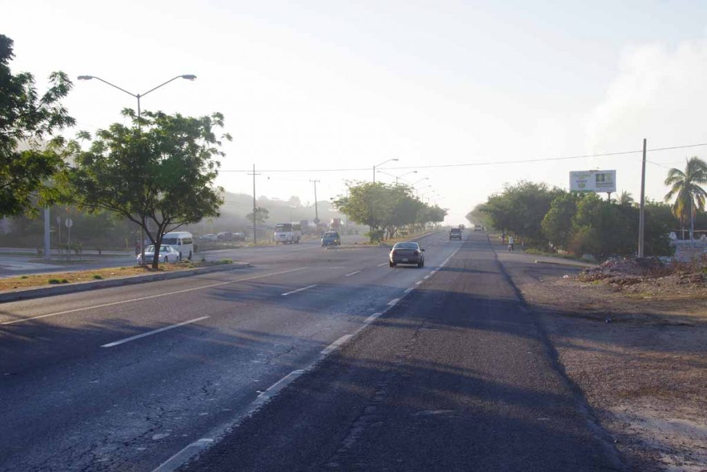
The next 20km were along road 15 and were better than reports I had read. There was pretty much a shoulder all the way, except for when vehicles parked there. I had some dogs give chase and one bit a pannier, around the airport – should have kept my bear spray :). Other than excitement was fairly quick to ride to 25km and through small town of Villa Union.

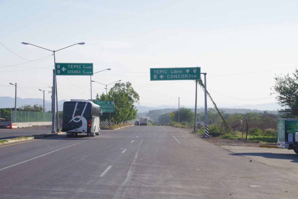
At this point, there is a choice to take either the “libre” or free road or the “cuota” or toll road. After reading several cycle journals, I knew:

  • Unlike Tijuana, where multiple cyclists were chased off the toll roads, cycling on the toll road seems to be allowed here. I did see one “no bicycling” sign, but I also went through one toll gate and attendants were carefully directing me of where to ride through the gate. I also passed at least one police. Not sure where it stops being allowed, though one cyclist followed the toll roads for over 1000km to close to Puebla where he was suddenly excluded.
  • The toll road (cuota) has a shoulder and has a good surface. That makes it friendly to ride. I did find that occasionally the shoulder gets used by cars when they try to pass – forcing cars on both sides towards the shoulder. So one still has to remain vigilant.
  • The free road (libre) has no shoulder. There are more services along the way on this road as it goes through settlements where the toll road bypasses them.

Based on those tradeoffs, I decided to start with the toll road today.

It was reasonable riding the toll road and I definitely liked having a shoulder.

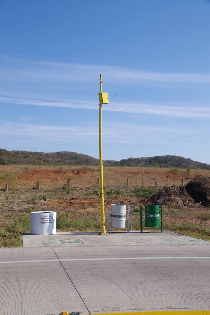
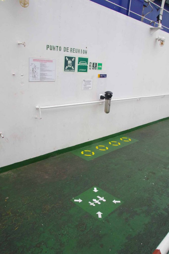
There were a number of these emergency posts. They have a phone (yellow pole), a bin for organic waste (green), a bin for inorganic waste (grey) and a container for water (white). The water had scum on top and not drinkable, but likely useful for radiators and the like. I didn’t try my trick of dumping water over my back to cool off.

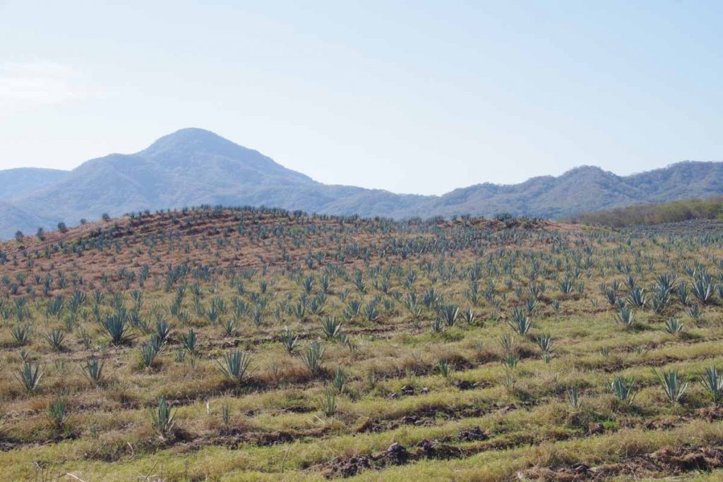
This was a more tropical area and also with some farms. Not sure what these were, but were nicely placed in rows.

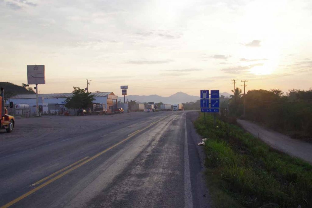
At 68km I went through a toll gate and at 69km was a brief rest area where one could buy drinks and snacks. Also good chance to cool down as it was starting to get warm.

At 79km, I saw this break in the fence at a point where libre and cuota were running side by side. I skipped through the gap and onto the free road for the last bit. This was both because the cuota was longer and because I expected to come past hotels on the libre road.

It was another 11km, and I found myself in town of Escuinapa.

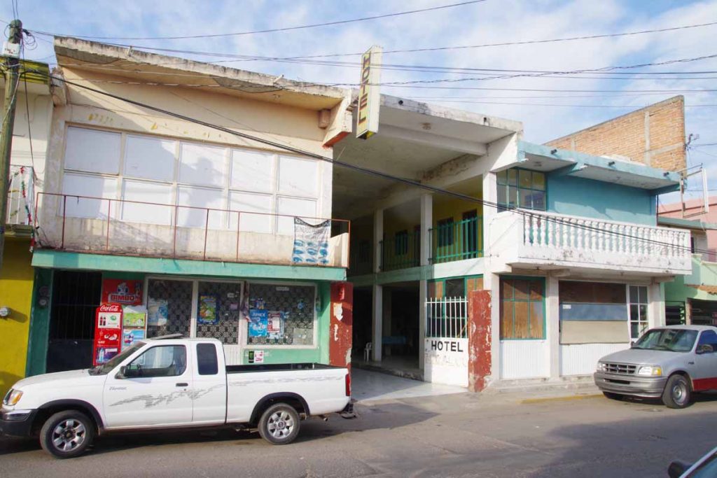
The road split into one way. Google Maps had indicated a hotel but I couldn’t find it. I did find this other hotel shown in photo above. A room was only 150 pesos. Nice place to rest. No wifi and no blankets on the bed and not the cleanest but it had a locking door.

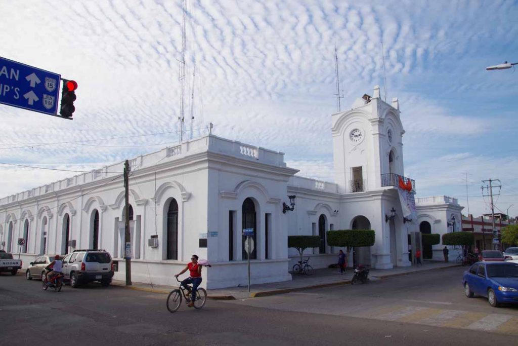
Look carefully and cyclist is holding up something with her left hand.

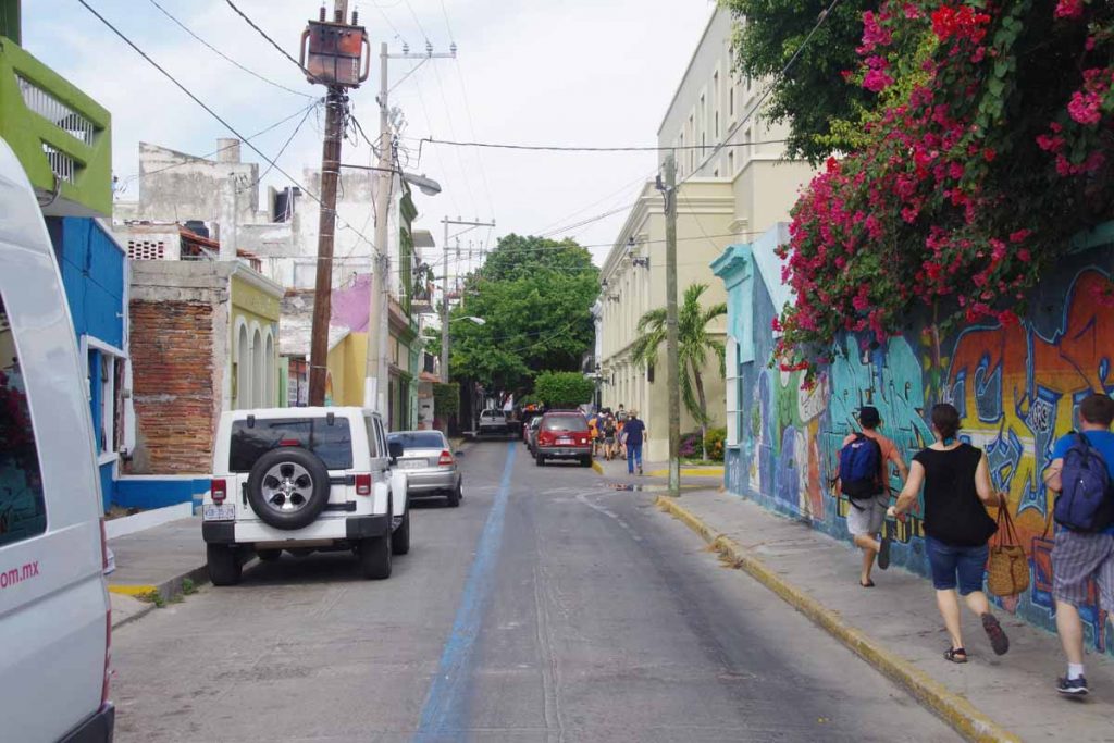
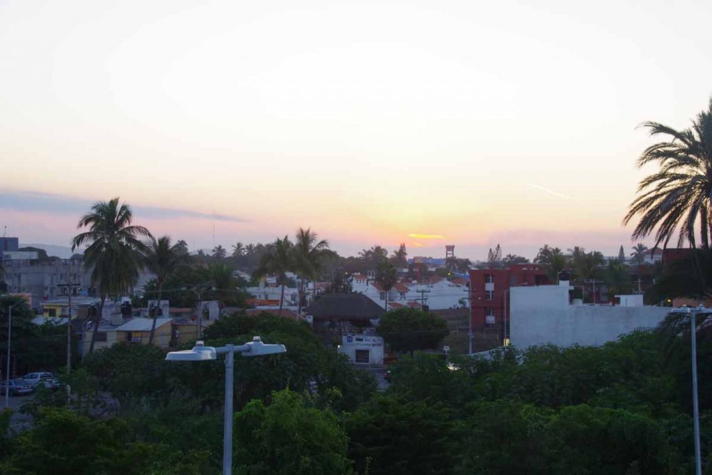
This gave me a chance to walk through town as well as get a bite to eat in restaurant. Overall a nice ride to start from Mazatlan.
Day Two
Nice easy ride for my second day. Got into town by noon which was before the worst heat.

Work up my hotel hosts (think I was the only guest) and got on the road at sunrise. It was already 16C (61F) and forecast to be warmer than yesterday. However I had planned only 65km so would be able to get most riding done in cooler morning temperatures.

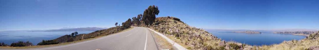
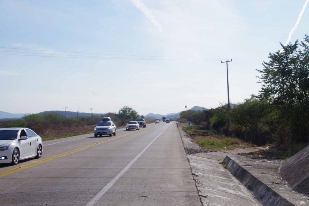
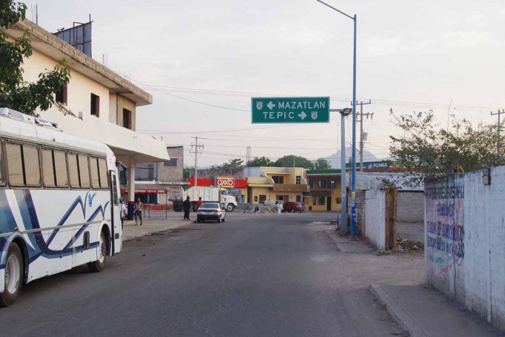
Once I got through town, I reached the main road at 7km. For the next 9km, both libre and cuota roads were together with four lanes and a good shoulder. Easy riding as there wasn’t much climbing today and winds were calm. Photo above was already saying next services in Acaponeta.

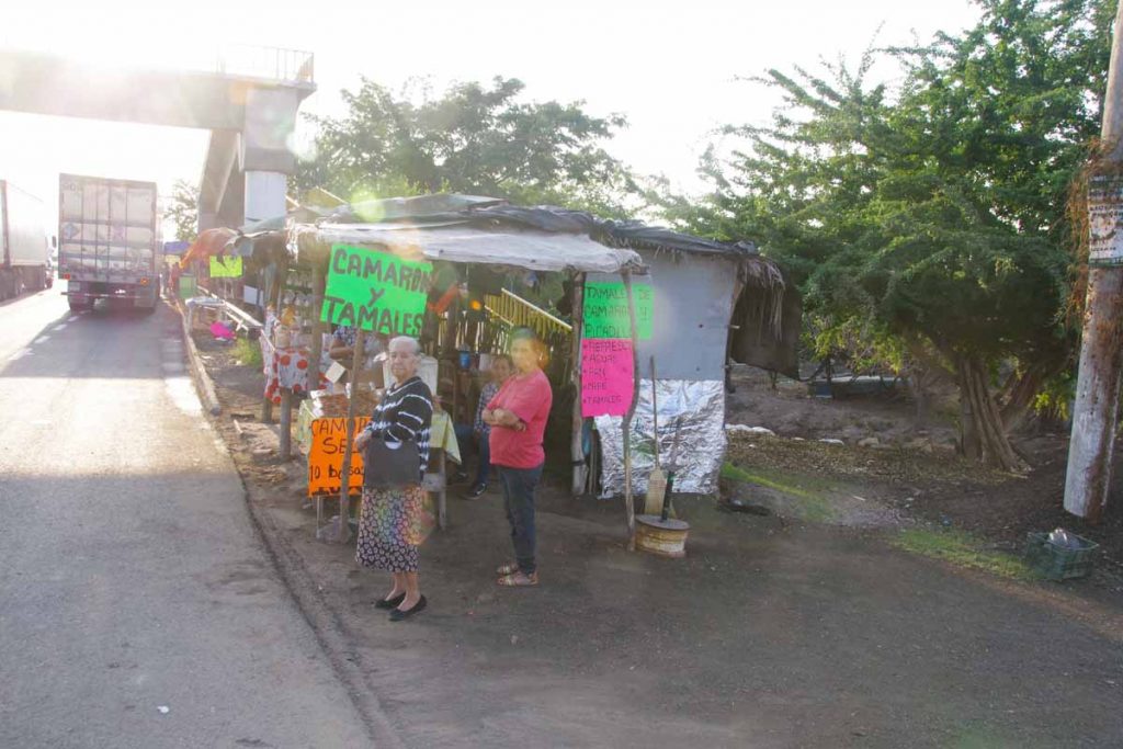
At 13km was a small village and many sellers of tamales and dried shrimp. Stopped for breakfast and I wasn’t the only one.

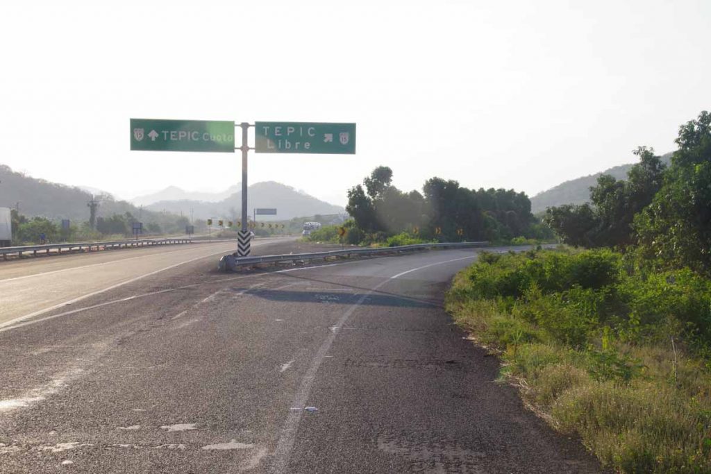
At 17km, the roads split and I took the libre since it was a more direct ride. While there weren’t shoulders on this road, traffic was mostly light until I got close to Acaponeta.

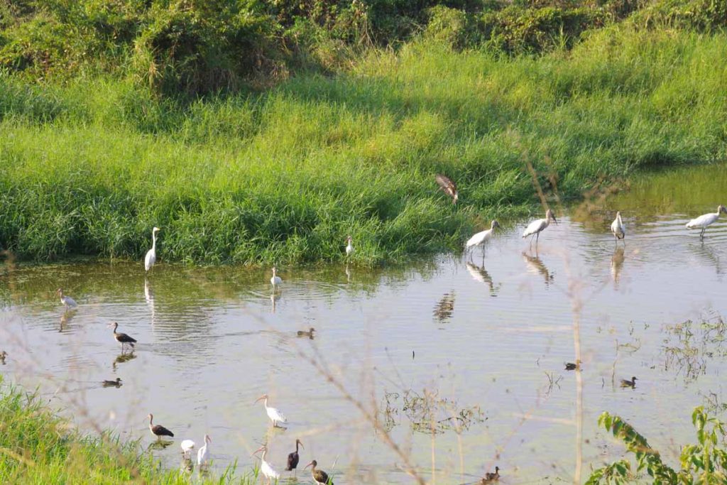
It was a pretty ride, with a variety of sights. Some marshy terrain with cranes. Other sections had orchards (not sure the trees). Also came past a large estuary. Overall still cool, flat and good riding.

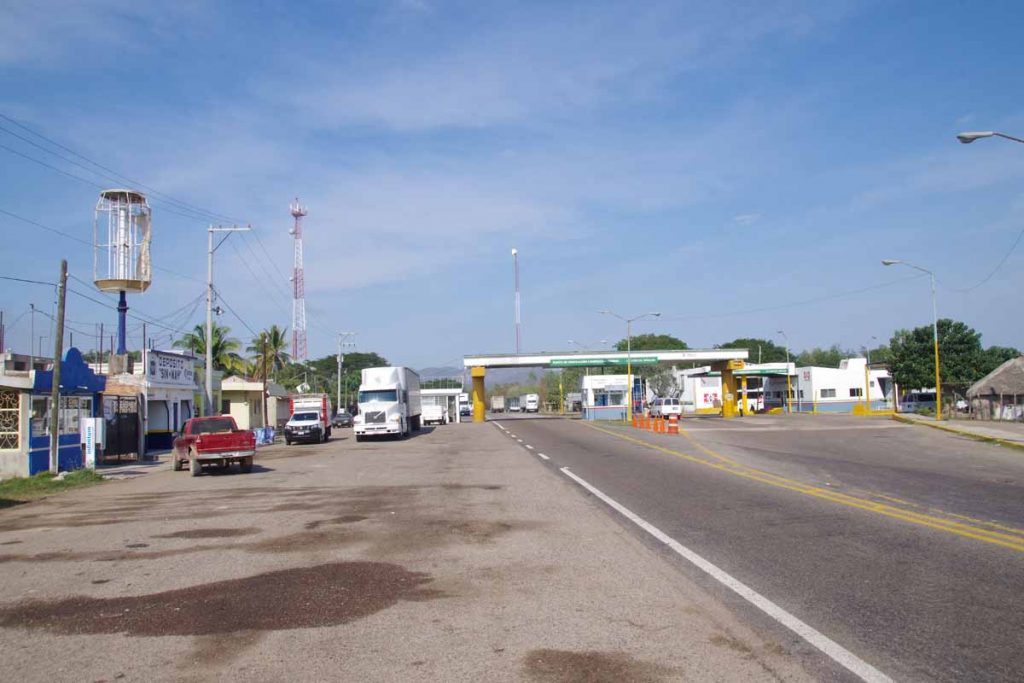
At 60km, I came through some controls, but nobody checking my direction.

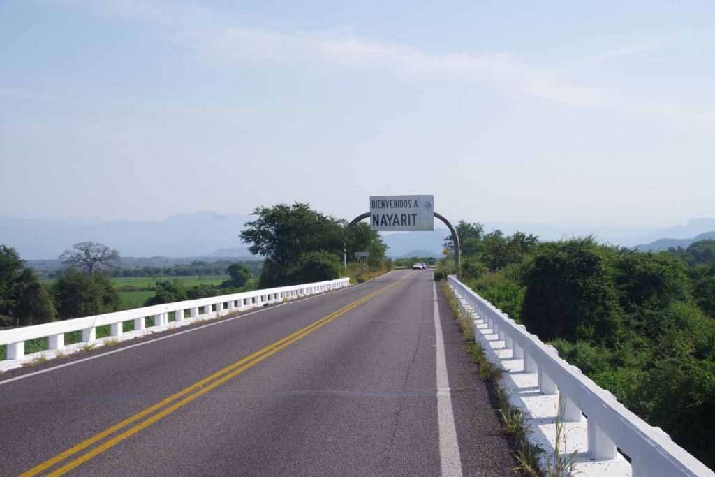
Shortly thereafter I crossed boundary into Narayit, my fourth Mexican state so far. Seemed like the vegetation encroached much closer on the road. There was moderate amount of traffic, so all felt a bit tighter.

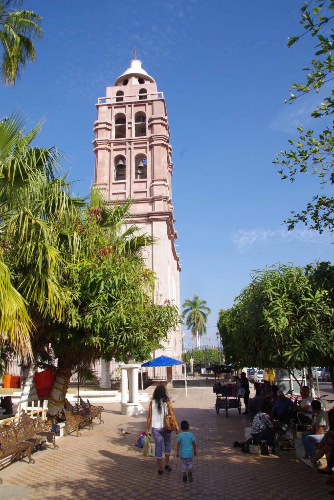
However, not much later I was at turnoff to Acaponeta and cycled into town and found place to stay. Overall nice two days riding. Now an afternoon to look around town.

Posted in Mexico, Narayit, Sinaloa

Mazatlan, ready for stage four

A bicycle ride across the Americas Posted on 2016-12-26 by mev2016-12-26

I have arrived on mainland of Mexico after taking an overnight ferry from La Paz.

I had three relaxing days in La Paz. Had a hotel in downtown “malecon” (beach boardwalk) in middle of a touristy area.

Some years back the town was known for pearling, though now expect tourism plays a much bigger role.

On Christmas Day, I cycled 17km north to the ferry terminal north of town. I was several hours early, but figured I could hang out at the terminal as easily as in La Paz. I had already bought my tickets (1200 pesos ~= $60 + 200 pesos for the bicycle ~= $10) online and had stopped by the ferry office in La Paz earlier to pay for my bicycle.

The boarding time was 6pm for an 8pm departure. Through the afternoon more people arrived including two french cyclists.

Boarding was an easy process. They first let all passengers go without luggage. Next they called folks with luggage. We cyclists got on end of the line, though at some point they waved us forward. There supposedly was an airport type scanner to check the luggage but once they figured a bicycle and all bags wouldn’t go easily, they waved us past.

There are two layers of vehicles in the ferry, with mostly large trucks below and passenger automobiles and motorcycles below. I don’t think they were full. There were two main passenger decks. The lower “B” deck had the large “salon” lounges and many cabins. The upper “A” deck had a few more cabins but also a large restaurant/eating area.

We found a spot along the side to place my bike and I took the key panniers with me. Once inside, there was a choice. For those who didn’t have a cabin, were directed to the “salon”, passenger lounges. Apparently, large airline type seats and then TV screens playing movies all night long.

I had splurged for a cabin (990 pesos ~= $50) which was very nice. It had two beds below and also two beds above that could fold down. I had it all to myself. Also in my little cabin was a toilet and shower. Overall a nice place and had a good nights sleep.

In the evening before we left, a cafeteria-style restaurant served a meal that was also included in the fare. After that back to the cabin and asleep. I could barely feel the boat rocking back and forth a bit.

I found a few more of these green spots. This time next to the lifeboats. So do believe these are some form of more universal symbol for “assembly point”. Surprised I hadn’t seen more of them in the US before.

The ferry arrived around 10:30am, but it was an hour later before I was off the boat. Now time to get my bearings and find way to hotel I had reserved. Without too much trouble, I cycled through the small streets of the old town and found myself on the main road along the malecon.

Mazetlan has a number of miles of sandy beaches with hotels and restaurants along the way. Overall a nice place to arrive, though I’ll be eager to get on the road again.

The next phase is phase 4 and covers the rest of Mexico. Plan is to follow the coast to town of Tepic and then go inland and up the highlands via Guadalajara. This also seems to be the most common route in cycling journals I’ve read. After that, plan to skirt around Mexico City to Puebla.

After Puebla, there is a fork in the road with one of two possible endpoints: Tapachula on the Pacific near Guatamala border or Chetumal on the Caribbean near the Belize border. I haven’t completely decided which of these two end points I will shoot for, but have some time before finalizing.

Reflecting back on Phase 3 (Baja), this all went at least as easily as I expected. The road is narrow, but I knew that. Otherwise, many places to stay and enough places to get food and water along the way. Baja was windy, but otherwise dry and sunny. One other thing I find nice is I’ve likely passed my shortest day. From Prudhoe Bay (continuous sunshine) to San Diego, the days kept getting shorter and by time I left after Thanksgiving the day was only 10 hours and 12 minutes long. I’ve already got 30 minutes more daylight coming from being further south including crossing into the tropics (San Diego now 10 hours even).

Now on to see a bit more of Mexico!

Posted in Baja, Mexico, Sinaloa
©2023 - A bicycle ride across the Americas - Weaver Xtreme Theme
↑