Quemado
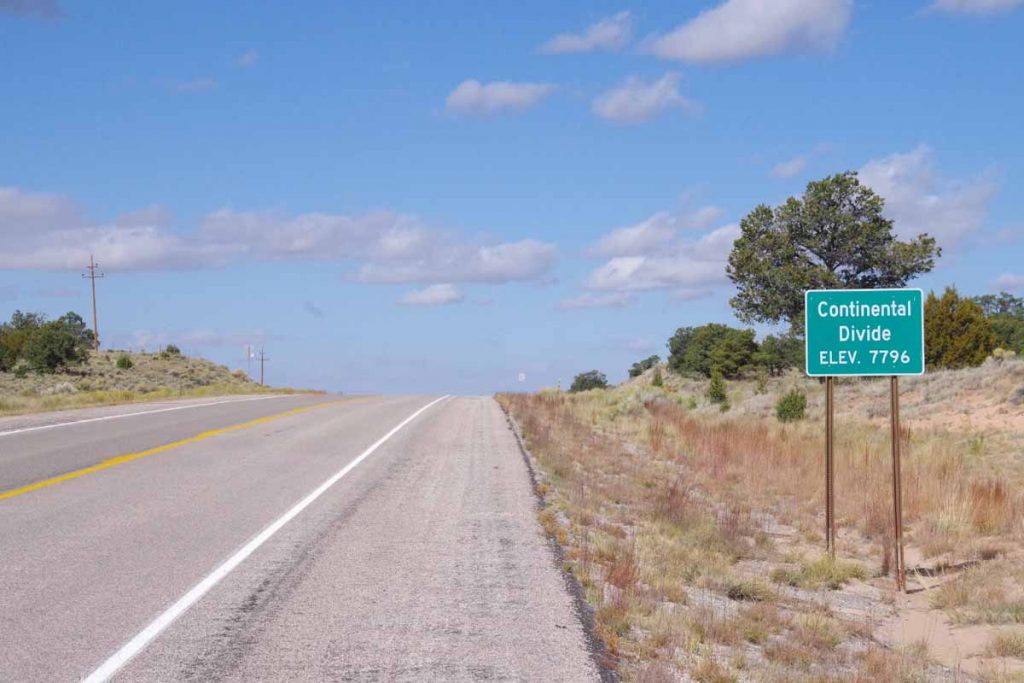
Crossed the continental divide and back in the Colorado River drainage.
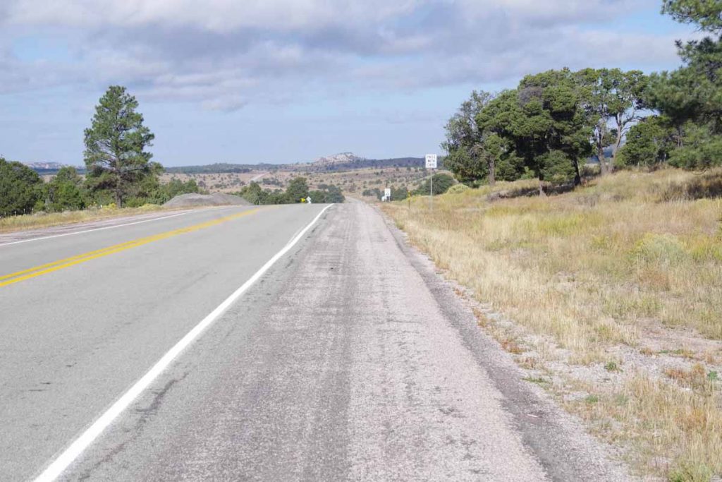
Datil is at 7300ft. First 11 miles were a gradual climb to 8095ft elevation, mostly following a drainage with scrub trees along the way. Photo above was as I crossed the high point.
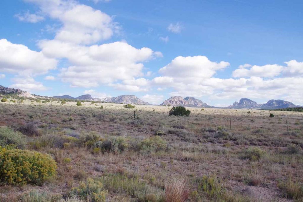
The Datil Mountains were now to my right. It was across some drainages and a net drop of a few hundred feet before I crossed the continental divide.
A few miles later, I reached Pie Town. With a name like that, no excuse to at least stop and have some pie.

I had a small “very berry” pie. Pie Town is also a crossing point to the Great Divide Mountain Bike Route. While I didn’t see other cyclists, I did have a local give me directions to the “Toaster House” – a local cyclist-only lodging listed on the GDMBR maps.
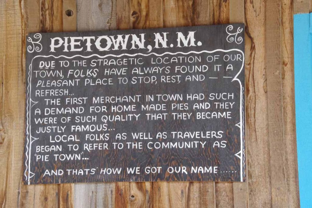
Here is the story of how Pie Town got its name. There were actually three cafes in town, though only one was open when I arrived.
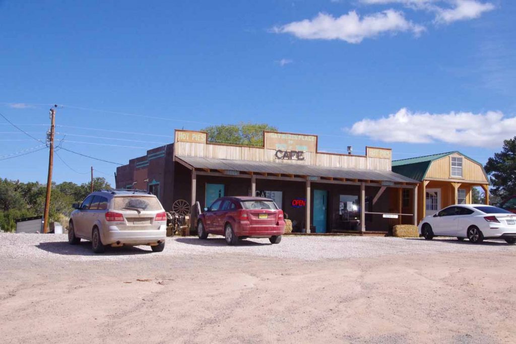
This is the one I ordered the pie above.
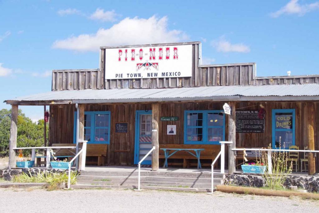
The Pie-o-neer was opening later in the day.
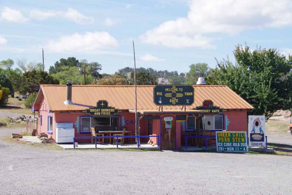
The cafe was the third place. All three seemed to advertise pies so I wasn’t the only one getting pies.
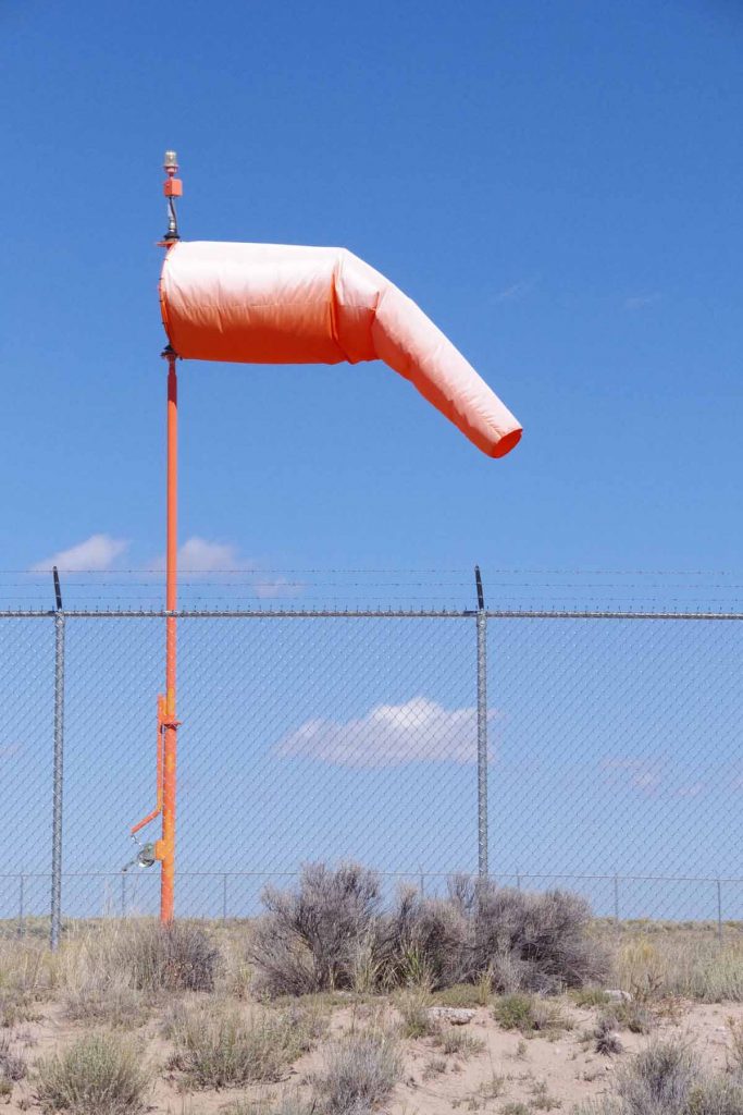
After this another 22 miles with ~1000ft of net descent as I cycled through mostly open countryside. Light headwinds again as this seems to be a consistent weather pattern.
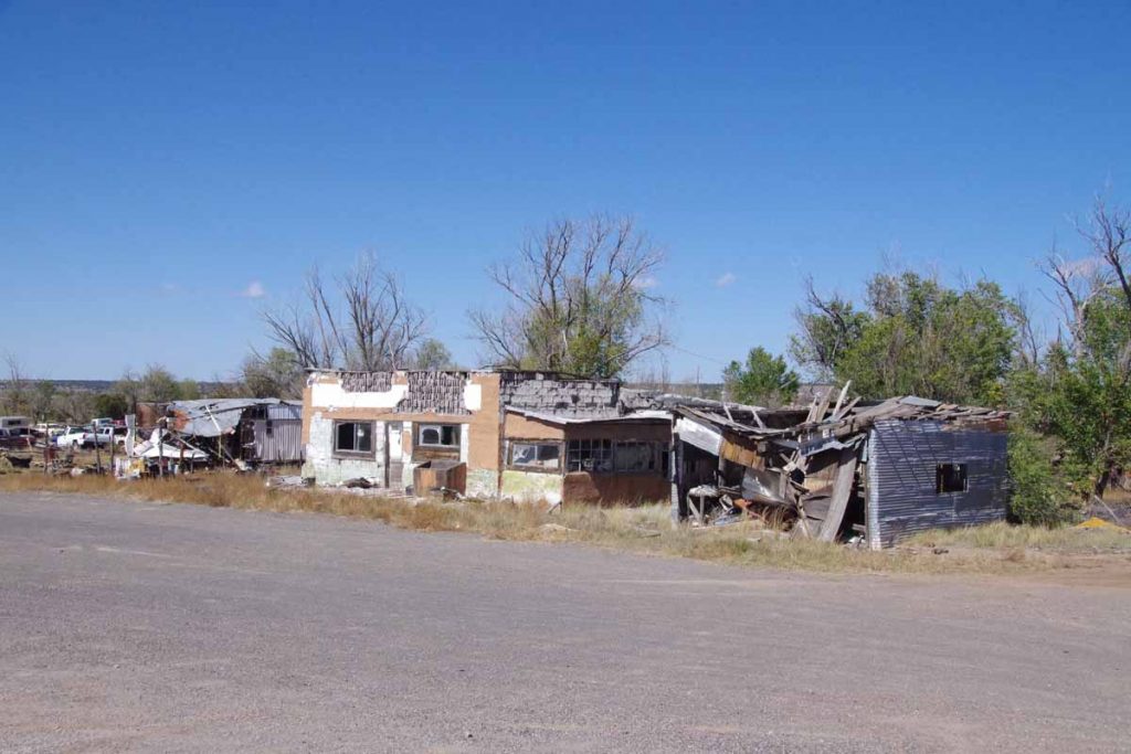
Part way along was a settlement known as Omega. Buildings above had seen better days.
After this came into Quemado, “home of the Eagles” and otherwise a small main street.
