↓
 

A bicycle ride across the Americas

from Deadhorse (SCC) to Ushuaia (USH)

  • Home
  • Plan
  • Blog
  • Photos
  • FAQ
    • Why?
    • Where?
    • What next?
  • Map
  • Equipment
  • Calendar
  • Countries
    • USA
      • Alaska
      • Montana
      • Wyoming
      • Colorado
      • New Mexico
      • Arizona
      • California
      • Texas
    • Canada
    • Mexico
    • Guatemala
    • Honduras
    • Nicaragua
    • Costa Rica
    • Panama
    • Colombia
    • Ecuador
    • Peru
    • Bolivia
    • Chile
    • Argentina
  • Weather
  • Links
  • Contact
Home→Categories USA→New Mexico

Category Archives: New Mexico

Springerville, Arizona

A bicycle ride across the Americas Posted on 2016-10-07 by mev2016-10-07

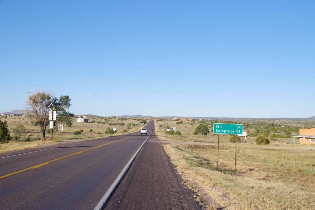
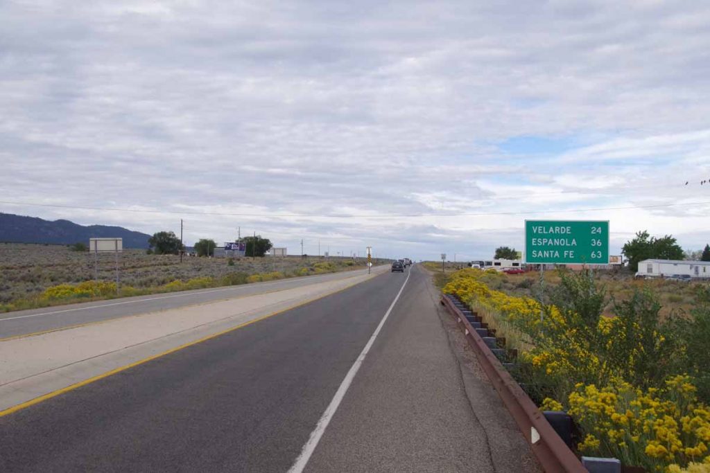
Where do folks in Quemado go to get to a “big city”? When I posed this question, I was told Springerville was the place for a grocery and Show Low was place for a Walmart type store. Hence, today was generally heading towards the big city – though still pretty remote and rural.
imgp4205
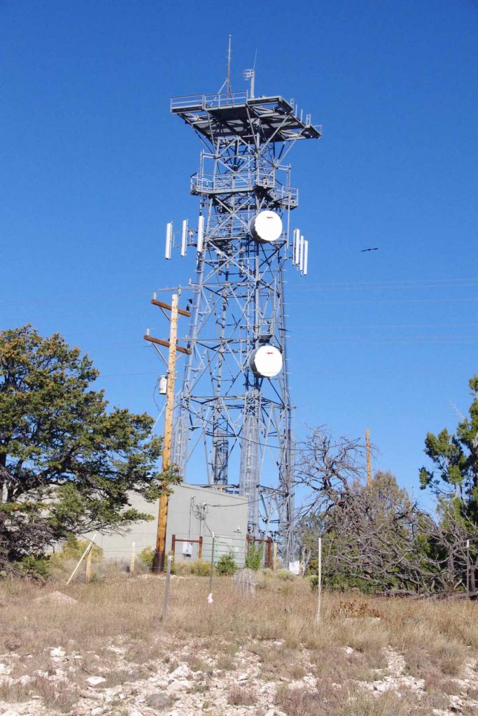
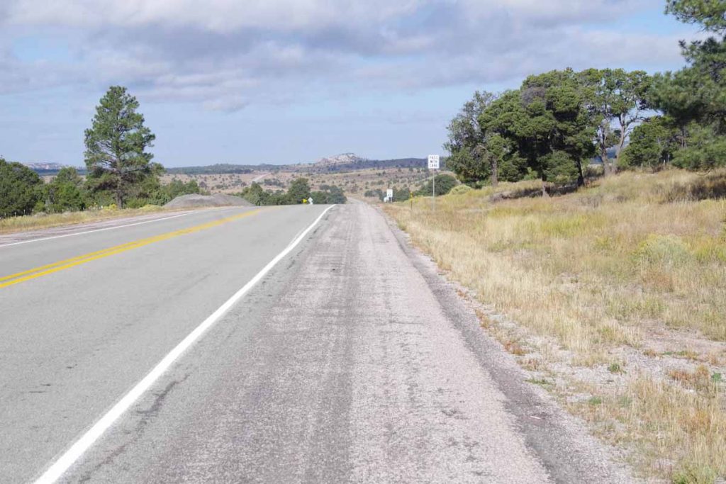
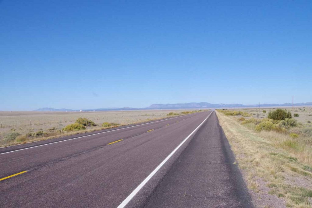
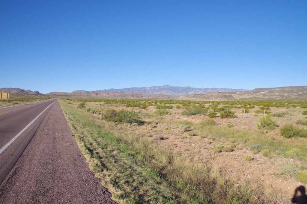
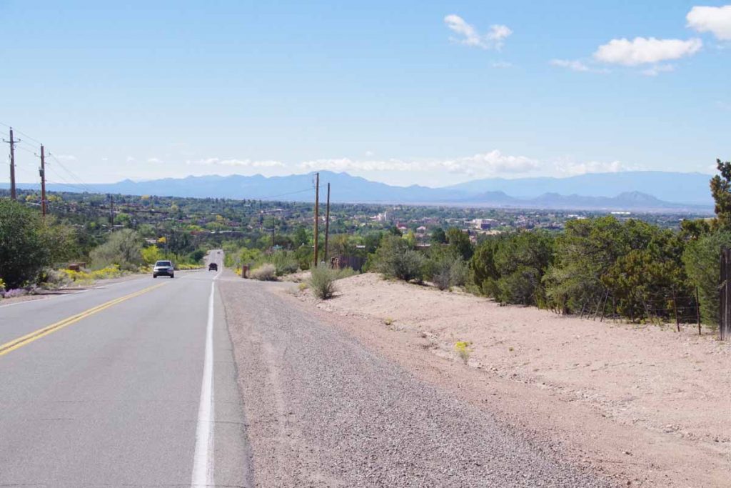
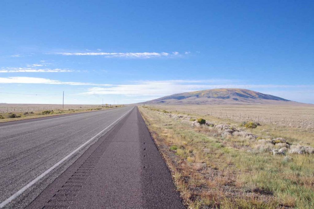
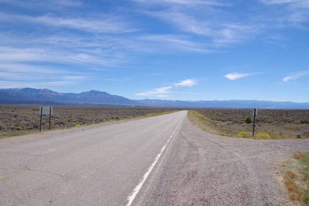
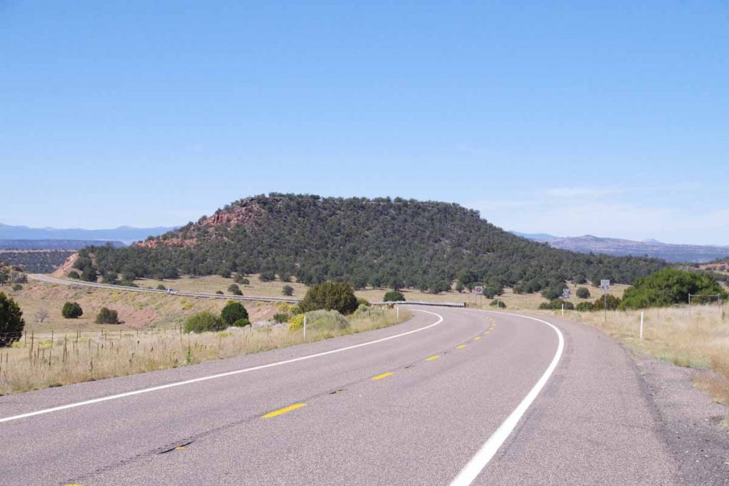
Todays route came across several hills including a gradual climb the first seven miles. Always nice to see a tower since it indicates top of the hill.
imgp4206
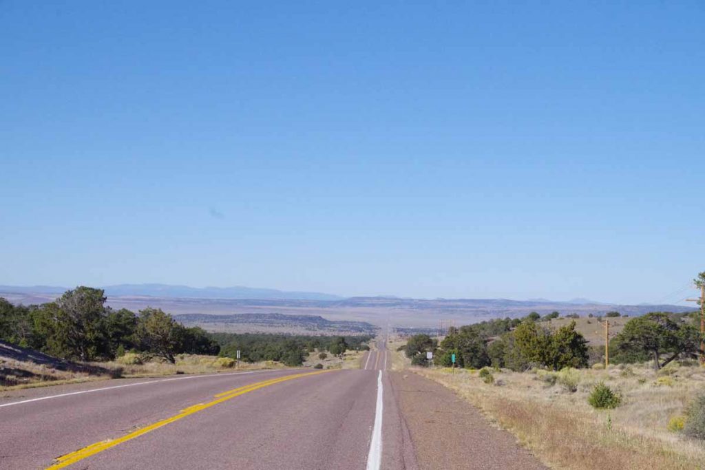
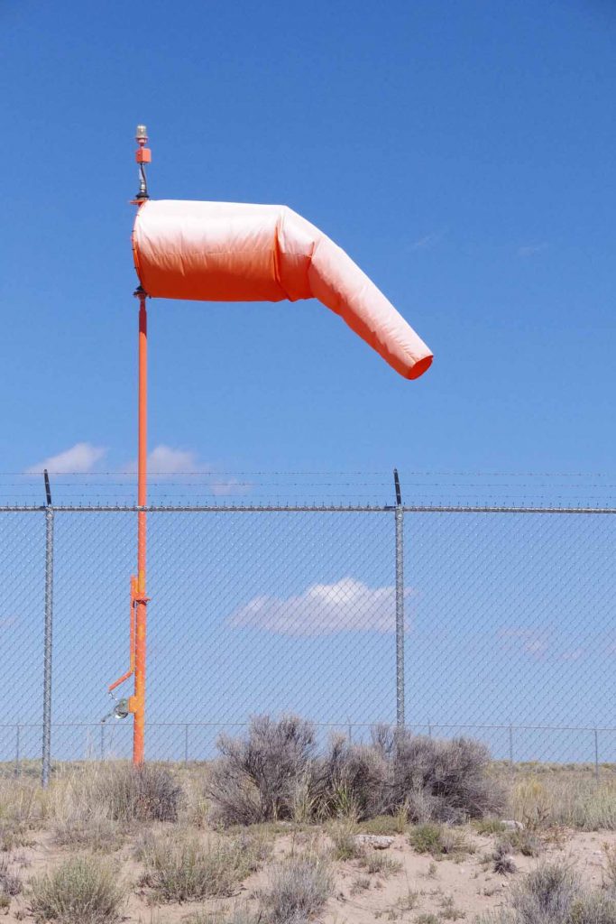
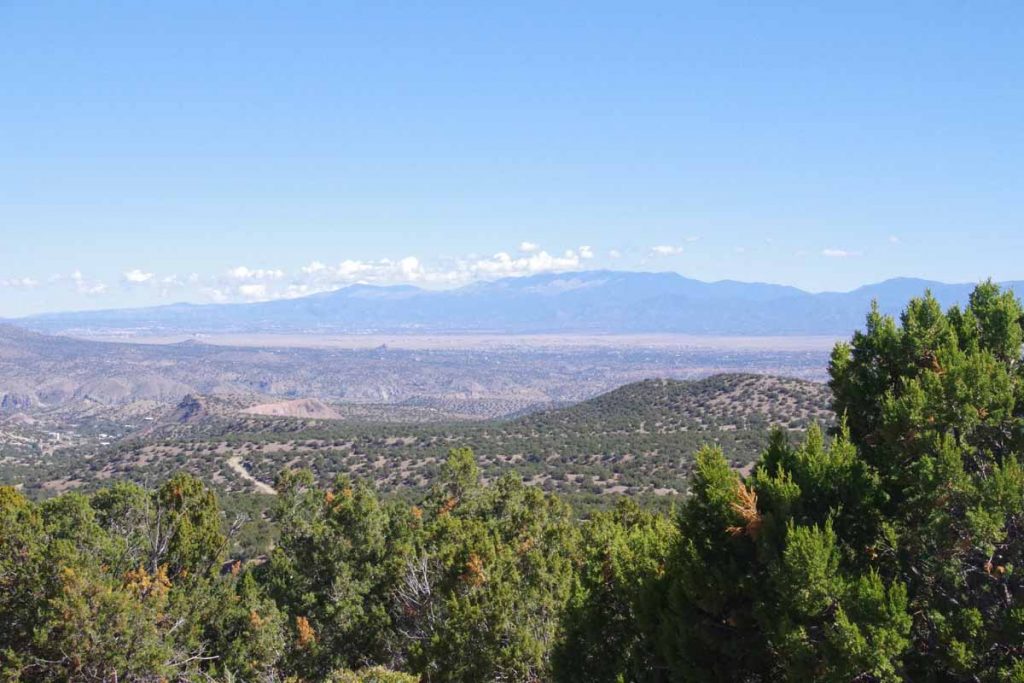
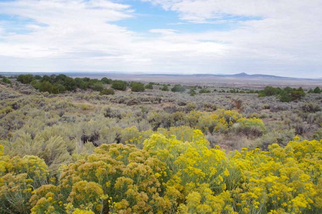
From the top, one can see across to hills on other side, ~18 miles away. I even had light tailwinds!
imgp4207
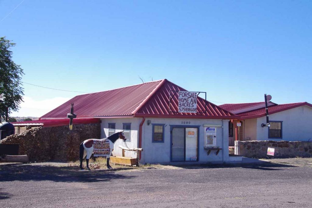
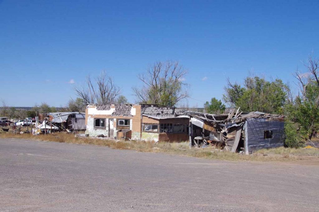
At 23 miles was town of Red Hill. Sign on the horse tells us this is a “one horse town.”
imgp4208
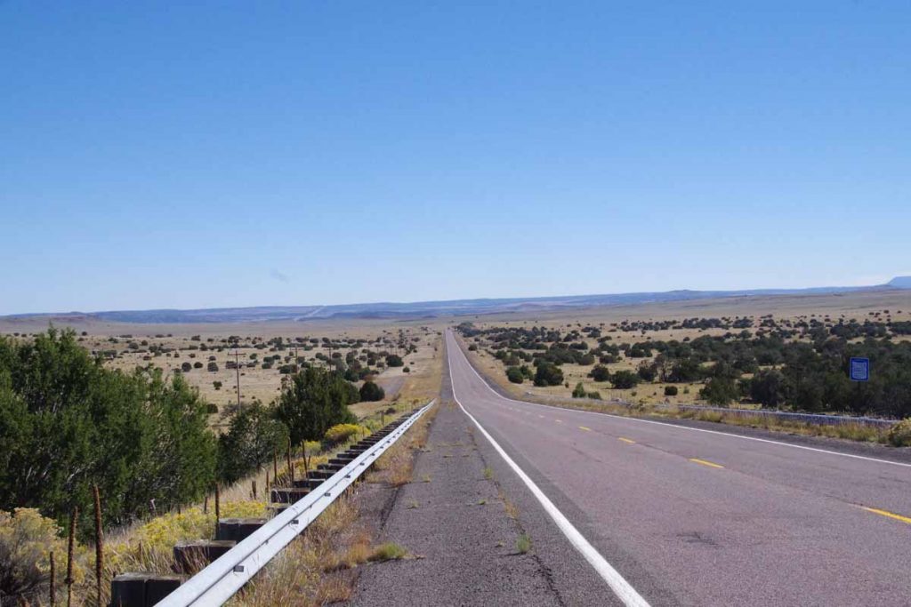
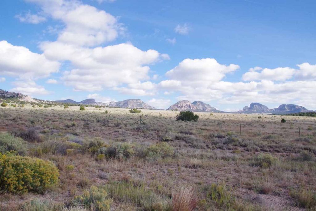
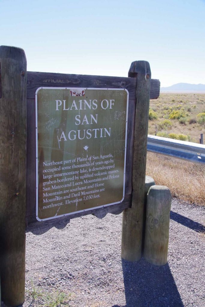
At 24 miles one can see back across the valley to where photo above was taken.
imgp4209
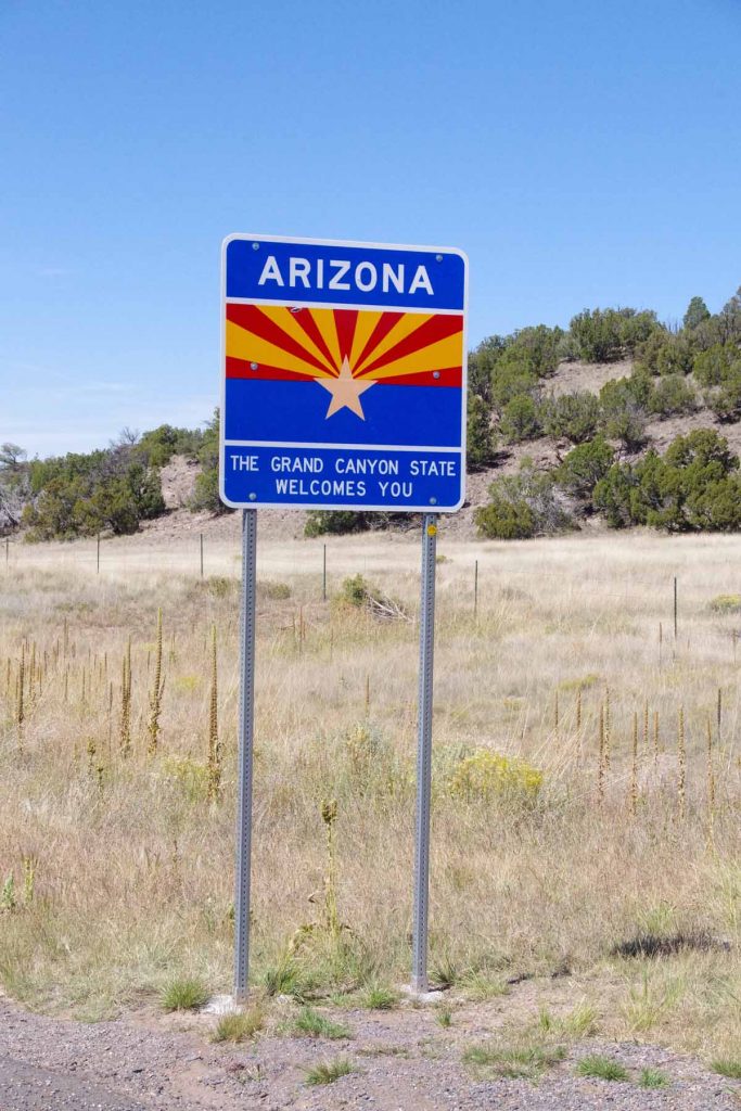
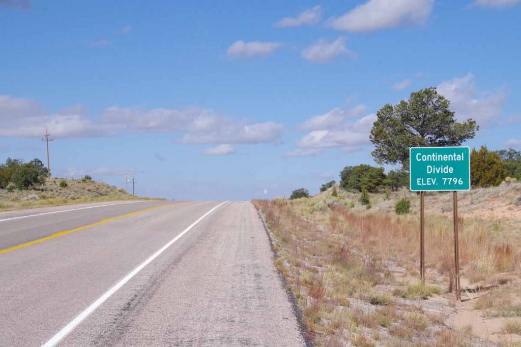
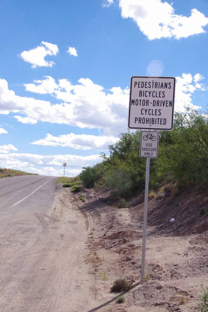
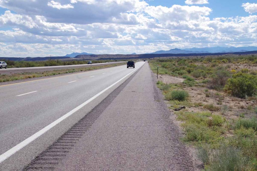
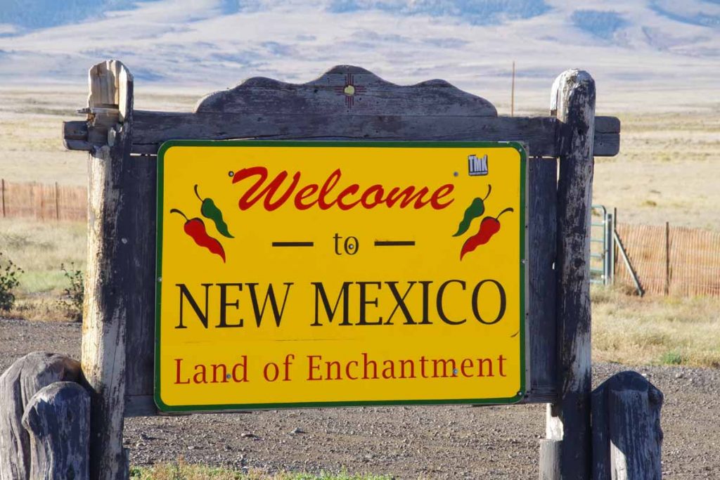
Not much further I crossed the state line. The shoulder in NM had been very rough and this improved once I crossed into AZ. In addition, I set my watch back an hour. Both AZ and NM are on Mountain time, but most of Arizona doesn’t observe daylight savings. Hence in the summer Arizona is on same time as California and in the winter, Arizona is on same time as New Mexico.
imgp4210
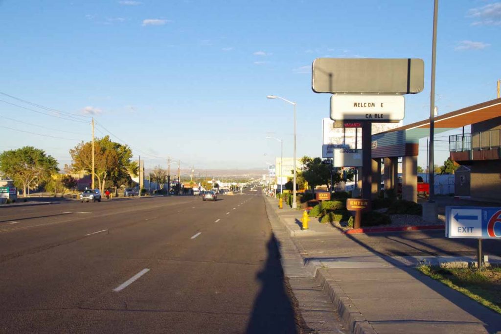
Without much trouble found my way into Springerville.
imgp4212
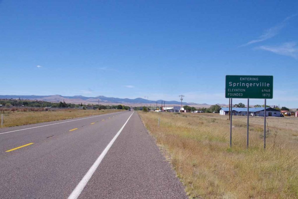
Each US state seems to put different information on their welcome signs. For example, Colorado gives the elevation, Massachusetts gives the year the town was founded, many states in midwest give the population. So far Arizona has given same info as both Colorado and Massachusetts.

Once in town, I found the laundromat, the Safeway and other highlights.

My plan is to take a rest day tomorrow. Weather forecast says a front will come through with ~80% chance of thundershowers and 0.4″ of precipitation. Doesn’t sound severe but nice to take a break.

Posted in Arizona, New Mexico, USA | Tagged state line

Quemado

A bicycle ride across the Americas Posted on 2016-10-06 by mev2016-10-06

Crossed the continental divide and back in the Colorado River drainage.
imgp4192
Datil is at 7300ft. First 11 miles were a gradual climb to 8095ft elevation, mostly following a drainage with scrub trees along the way. Photo above was as I crossed the high point.
imgp4193
The Datil Mountains were now to my right. It was across some drainages and a net drop of a few hundred feet before I crossed the continental divide.
imgp4195
A few miles later, I reached Pie Town. With a name like that, no excuse to at least stop and have some pie.
aimgp4200
I had a small “very berry” pie. Pie Town is also a crossing point to the Great Divide Mountain Bike Route. While I didn’t see other cyclists, I did have a local give me directions to the “Toaster House” – a local cyclist-only lodging listed on the GDMBR maps.
imgp4199
Here is the story of how Pie Town got its name. There were actually three cafes in town, though only one was open when I arrived.
imgp4201
This is the one I ordered the pie above.
imgp4198
The Pie-o-neer was opening later in the day.
imgp4202
The cafe was the third place. All three seemed to advertise pies so I wasn’t the only one getting pies.
imgp4203
After this another 22 miles with ~1000ft of net descent as I cycled through mostly open countryside. Light headwinds again as this seems to be a consistent weather pattern.
imgp4204
Part way along was a settlement known as Omega. Buildings above had seen better days.

After this came into Quemado, “home of the Eagles” and otherwise a small main street.

Posted in New Mexico, USA | Tagged continental divide, pie, wind

Datil, across the Plains of San Agustin

A bicycle ride across the Americas Posted on 2016-10-05 by mev2016-10-05

A shorter ride through high, dry and mostly treeless terrain.
imgp4177
First ten miles had some low scrub trees and a gentle climb. Signs told me about historical cattle drives that were held here. I climbed to a low rise at 7300ft and came to edge of a region known as “Plains of San Agustin”
imgp4184
Apparently, this was remains of a large uplifted lake with layers of sediment.
imgp4180
Treeless areas looked like this. Fortunately, winds were light.
imgp4179
In the American west, water is always a key issue.
imgp4183
The Plains of San Agustin are also site of the National Radio Astronomy Very Large Array telescope an array of 26 radio telescopes arranged in a large Y format. There was a visitor center ~4 miles off the route, so I skipped it here is a description. I could count at least 16 of these large telescopes including several in photo along the railroad line.
imgp4185
Signs always a good reminder, though surprised to have this on a long straight mostly flat highway.
imgp4187
I slowly came to edge of the treeless plain and then came into Datil. Not too much past noon I was at cafe above. Wind had been increasing some and this was a good place to stay before crossing the continental divide tomorrow.

Posted in New Mexico, USA | Tagged astronomy, Plains of San Agustin

Magdalena

A bicycle ride across the Americas Posted on 2016-10-04 by mev2016-10-04

Four and a half hours to do 27 miles. It wasn’t very far and definitely wasn’t very fast. However, I’m now 2000ft higher and also upwind (at least for today) of where I started this morning.
imgp4167
Half mile on the main street and then I started following US 60 up the hill. On my right was “M Mountain” also known as Socorro Peak. Socorro is home of New Mexico Tech (also known as New Mexico Institute of Mining and Technology – and formerly known as New Mexico School of Mines). I assume the M has something to do with mines…
imgp4168
There was some road construction. The construction itself was minor, but for rest of the day I had full trailers of dirt passing me and empty ones coming back. I’m still not quite sure where they were going to dump the dirt.
imgp4170
A majority of the climb was in the first eleven miles. The next nine miles were mostly flat, but instead got a headwind to keep things in check.
imgp4171
Someone had fun painting those buildings, when I came to them they were mostly abandoned though.
imgp4173
Signs for the Magdalena fault.
imgp4175
Homesteading this land in 1920 would have been a hard life. No problem clearing the land, but not sure what they would do to get water on the property or how much could be done if they didn’t have water.
imgp4176
Around the bend, up the last hills and I was happy to be in Magdalena. Also in enough time to get to the cafe before it closed. The town has a few galleries, more than one motel, a small grocery and a convenience store. However, one restaurant is closed on Mondays and Tuesdays and a second closes just after lunch. However, happy to get here after a slow ride this morning.

Posted in New Mexico, USA | Tagged m mountain, wind

Socorro

A bicycle ride across the Americas Posted on 2016-10-03 by mev2016-10-03

imgp4150
Weather forecasts and restricted highways influenced my cycling over the past day and a half to Socorro. Weather forecast called for a front to move through on Monday with a windy afternoon from the SW (headwinds). Hence, I wanted to get as far as I could before then. There is a stretch of I-25 without reasonable paved alternatives, so I also wanted to travel the interstate at a reasonable time.

First twelve miles were along major streets in Albuquerque. Sunday morning early and there wasn’t much traffic on the road. However, Albuquerque streets seem to have a fair amount of debris – and particularly in bike lanes one needs to keep a watch out. I cycled past Kirkland Air Force Base and then the ABQ airport before crossing I-25 and taking the main road past scrap metal and junkyards out of town.
aimgp4153
There were perhaps a dozen balloons aloft as part of the balloon festival.
imgp4154
At 17 miles, I crossed I-25 and briefly went via an Indian reservation.
imgp4156
This brought me through a more agricultural region along east size of the Rio Grande River. Some nice cycling here through mixture of small towns and countryside.
imgp4157
Has anyone lost their goats?

It was fairly flat without too much wind so made good time. By 60 miles I had a choice to make. Should I stop at I-25 exit #175 at the RV park or instead keep going to I-25 exit #163 at Las Casitas RV park?
imgp4160
I got on shoulder of I-25. There were signs both prohibiting bicycles and saying they should stay on the shoulder.
imgp4159
The shoulder wasn’t too bad and not a huge amount of traffic. Only had to watch for occasional “road alligators”, namely those shredded truck tires that were ready to reach up and grab unsuspecting bicycle tires.
imgp4161
I came past a rest area where signs told of sand dunes. A few miles later, the I-25 riding was done and I finished at the RV park. Overnight there was briefly some rain on the tent, but by morning the tent was dry and no signs of any precipitation.
imgp4162
Next morning I had carefully crafted a route found from looking up the internet. It stayed on back roads and avoided need for an additional 13 miles of I-25 riding. I started by going underneath the interstate to follow frontage roads.
imgp4163
Google maps bicycle instructions doesn’t always avoid gravel, but fortunately only a mile and a half. Also there was already some wind from the SW but nice that I was going only shorter distance.
imgp4164
Without too much difficulty, this brought me to the post office. Why the post office?
imgp4166
I had an envelope to pick up that contained the Adventure Cycling Southern Tier bicycle maps. I had ordered these to come to Socorro (one wants to pick a town large enough that the post office has reasonable hours but not so large that there is more than one post office). I plan to follow Map #1 from Tempe to San Diego. I am less certain how much of Map #2 I’ll catch since it is still a ways further south going via El Paso to Tempe – and I might more likely cut across further north. However, this now lets me sort this all out.

Posted in New Mexico, USA | Tagged Adventure Cycling, post office, wind

Albuquerque, Turquoise Trail and Route 66

A bicycle ride across the Americas Posted on 2016-10-01 by mev2016-10-01

Cycled a scenic byway known as the Turquoise Trail and finished with a small piece of Route 66.
imgp4136
First six miles were getting out of Santa Fe and then past a lot of strip mall development. This brought me to the I-25 intersection where I discovered the entire intersection was closed due to reconstruction. Recommended detour was to skip a few miles west to the next intersection. Probably not too bad, though I was concerned on finding NM 14 again. I asked the construction workers – who went into problem solving mode. They suggested I follow them as a pilot car. That was nice as they led me @ ~15mph through the main site and out the other end. Photo above was of the road closure on the other end just as I exited.
aimgp4139
Shortly thereafter I passed the prison (no hitchhikers) and then was on the primary route for the day, NM-14 also known as the Turquoise Trail. This route went through several historic and artsy towns. However, I do think the dividing line between art and junk is sometimes subtle. I believe the above was art, though it might also be weather vanes in form of bicycles.
imgp4140
A short while later, I passed this origami place.
imgp4141
I think this is art, though it also looked a bit like someone left the christmas decorations up too long.
imgp4143
At 25 miles I came into little town of Madrid. This town catered to the upscale tourists with lots of little shops.
imgp4142
Parking was $5!
imgp4144
Here was an example of one of the shops.
imgp4146
I had descended from ~7000ft in Santa Fe to ~5700ft. By Madrid I was back up to ~6000ft but now some more serious climbing started as went back up to 7000ft again. This brought me over the summit and then back via Golden where I had a snack.
imgp4147
I think this is supposed to be art in Golden. Golden was somewhat below the summit and here had another 600ft of climb slowly up to San Antonito. The road became both wider and busier as went over might last summit for the day before descending back to I-40.
imgp4149
The last 7 miles were along historic Route 66. Several signs like this one as well as a shield painted in the road. It was mostly a descent until I reached the far eastern reaches of Albuquerque. There is a hot air balloon festival going on this weekend through next weekend. I had made a hotel reservation since it seemed like many of the hotels had already filled up. Also lets me find my way through this city early on a Sunday morning as I’ll follow the Rio Grande further south.

Posted in New Mexico, USA | Tagged art

Santa Fe

A bicycle ride across the Americas Posted on 2016-09-30 by mev2016-09-30

Short ride today with ~1300ft net feet of climb. Got a chance to walk through historic center of Santa Fe.
imgp4119
Last night I carefully wrote out directions coming from Google Maps. The first 18 miles I was parallel to US285 but was only on the highway for two miles. Photo above was looking back on the highway.
imgp4120
A good portion of the road was through Pajoaque Indian reservation. There were several casinos and also at least ten signs like the one above. First one I saw, I thought “good, nice to have a reminder”. However, when I kept seeing them, I then wondered what else might be going on here, e.g. local riders making rides through the reservation? I did pass a bored police officer at one intersection and made double sure to come to absolute complete stop at the stop sign.
aimgp4121
I passed Camel Rock.
imgp4122
At 18 miles the road left US 285 and I followed NM 591. It went through some upscale neighborhoods. I also stopped briefly at a cafe for a snack. After that continued to climb up to top of divide. Photo above was shortly after the top, when I could see down into the city.
imgp4126
After finding place to stay, I walked down to the historic plaza shown above. Lots of artsy shops, restaurants as well as tourists visiting.
imgp4128
Above is the palace of governors with many vendors. Overall, a not too difficult ride into a touristy city. My count is this makes 27 US state capitals that I’ve ridden a bicycle. I’ve cycled in all 50 states, but not the capital city in the other 23.
imgp4135
For dinner, I found the “Paper Dosa” restaurant and had a masala dosa (above). Tasty and thanks Mohan for the suggestion. May seem strange to have south Indian in Santa Fe, though I’ve been eating Mexican food most other nights, mostly at hole-in-the-wall restaurants in towns I’ve come through.

Posted in New Mexico, USA | Tagged bike sign, capital

EspaƱola

A bicycle ride across the Americas Posted on 2016-09-29 by mev2016-09-29

Easier ride today with three different parts. Surprised with how much traffic there was on the road.
imgp4109
Started out from Taos with a decent shoulder riding along the edge of a wide valley.
imgp4111
Once I left congestion of the town, I could see across wide open spaces. At 11 miles, the road went over a low rise and then descended ~750ft in the next two miles. At bottom was the Rio Grande Gorge Visitor center. They had a nice overview topographic that showed my last two days riding. The Rio Grande River goes through a gorge of ~82 miles long. It is now part of Rio Grande del Norte National Monument established in 2013. I had seen some of the signs, but the visitor center helped put it all together.
imgp4113
The next third of the ride went through a part of the gorge.
imgp4114
It was pretty though the road was narrow and the shoulder was rough. That would have been OK, except I was surprised at how much traffic seemed to be on this road. At Velarde the valley opened up and suddenly the road became two lanes each direction.
imgp4116
Here were folks selling apples along the way.
imgp4117
Short while later also possible to buy chiles.

I rode down to intersection with US 285 before finishing for the day. This will let me take a shorter ride tomorrow into Santa Fe, as well as do some additional looking on the best route to take into and through this city.

Posted in New Mexico, USA | Tagged canyon, chile, narrow road

Taos, Land of Enchantment

A bicycle ride across the Americas Posted on 2016-09-28 by mev2016-09-28

Crossed into New Mexico today.
imgp4092
After five miles, came to the border with requisite CO and NM signs.
imgp4096
In the background was San Antonio Mountain. The route gradually climbed over to left of the mountain and then along. Several signs for “Elk Crossing” and “Winter Wildlife viewing area”, but otherwise not much. Shortly pass San Antonio Mountain was a weigh station and then the shoulder went away. Fortunately, light traffic most rest of the day.
imgp4098
At 30 miles was Chile Line Depot and chance to get a late breakfast.
imgp4099
The place across the street claimed to be a store, but I’m skeptical. After Tres Piedras, two route choices either continue on US285 or go east via Taos. Trip reports I’d read seemed to suggest more traffic and intermittent shoulders on 285 and more lodging choices in Taos, so headed east.
aimgp4101
“If you lived here, you’d be home now!”
imgp4103
A few home sites but also many wide open spaces. A lot of this land seems to be either BLM or Forest Service managed.
imgp4104
At some point I started seeing a number of funky looking homes. The company was earthship.com and they had a display home. However, when I saw the $7 admission fee, I wasn’t quite curious enough.
imgp4106
Shortly after the road crossed the Rio Grande river. The river itself was contained in this small gorge.
imgp4108
There were vendors selling art type stuff.

After this, a bit of a grind to cycle into the wind and very slowly uphill. I crossed over Taos and found a place to stay on the other side. I saw some of the turnoffs to the Taos Pueblo, but didn’t follow them this time. Overall, get sense of a touristy and slightly artsy community. Nice to get a few miles in New Mexico.

Posted in New Mexico, USA | Tagged border crossing
©2023 - A bicycle ride across the Americas - Weaver Xtreme Theme
↑