↓
 

A bicycle ride across the Americas

from Deadhorse (SCC) to Ushuaia (USH)

  • Home
  • Plan
  • Blog
  • Photos
  • FAQ
    • Why?
    • Where?
    • What next?
  • Map
  • Equipment
  • Calendar
  • Countries
    • USA
      • Alaska
      • Montana
      • Wyoming
      • Colorado
      • New Mexico
      • Arizona
      • California
      • Texas
    • Canada
    • Mexico
    • Guatemala
    • Honduras
    • Nicaragua
    • Costa Rica
    • Panama
    • Colombia
    • Ecuador
    • Peru
    • Bolivia
    • Chile
    • Argentina
  • Weather
  • Links
  • Contact
Home→Tags border crossing

Tag Archives: border crossing

Taos, Land of Enchantment

A bicycle ride across the Americas Posted on 2016-09-28 by mev2016-09-28

Crossed into New Mexico today.
imgp4092
After five miles, came to the border with requisite CO and NM signs.
imgp4096
In the background was San Antonio Mountain. The route gradually climbed over to left of the mountain and then along. Several signs for “Elk Crossing” and “Winter Wildlife viewing area”, but otherwise not much. Shortly pass San Antonio Mountain was a weigh station and then the shoulder went away. Fortunately, light traffic most rest of the day.
imgp4098
At 30 miles was Chile Line Depot and chance to get a late breakfast.
imgp4099
The place across the street claimed to be a store, but I’m skeptical. After Tres Piedras, two route choices either continue on US285 or go east via Taos. Trip reports I’d read seemed to suggest more traffic and intermittent shoulders on 285 and more lodging choices in Taos, so headed east.
aimgp4101
“If you lived here, you’d be home now!”
imgp4103
A few home sites but also many wide open spaces. A lot of this land seems to be either BLM or Forest Service managed.
imgp4104
At some point I started seeing a number of funky looking homes. The company was earthship.com and they had a display home. However, when I saw the $7 admission fee, I wasn’t quite curious enough.
imgp4106
Shortly after the road crossed the Rio Grande river. The river itself was contained in this small gorge.
imgp4108
There were vendors selling art type stuff.

After this, a bit of a grind to cycle into the wind and very slowly uphill. I crossed over Taos and found a place to stay on the other side. I saw some of the turnoffs to the Taos Pueblo, but didn’t follow them this time. Overall, get sense of a touristy and slightly artsy community. Nice to get a few miles in New Mexico.

Posted in New Mexico, USA | Tagged border crossing

Eureka, Montana!

A bicycle ride across the Americas Posted on 2016-08-23 by mev2016-08-23

Back in the USA.
aIMGP3534
Today another day of pavement cycling that was mostly flat and brought me across the border back to the USA. The “Fernie Alternative” followed gravel roads on east side of the Elk River, but I stayed on Route 3 on the west. The road was moderately busy but had a good shoulder. I also saw other cyclists (three going my way, two going the other way) along this stretch as well. Seems like others don’t always buy the “Canada” map and then guidebooks don’t describe the Fernie alternative.
IMGP3527
Just outside Fernie I passed signed for the resort. Apparently, the peak season is still winter but summer is picking up as well.
IMGP3529
A little while later there was a tunnel with lights to indicate bicycles in the tunnel. I didn’t see any explicit button to press so perhaps it detected automatically. I did find a spot later that where the “wildlife detection” system with flashing lights and picture of a deer started to go off when I cycled past.
IMGP3530
At 18 miles was Elko and a mile later was road 93 to the border. This road was much quieter. Something in my drive train started making a bunch of crackling noises. A bit concerning as I tried to figure it out. Eventually not long after I crossed the US border it stopped. My best guess was some of the bearings in my right pedal, but will likely check this in Whitefish when I get there.
IMGP3531
This road continued flat, though there was one good hill both up and down to cross the Elk River. A little past 1pm, I came to the US customs and immigration station. Entry was very simple. They asked where I lived, how long I had been in Canada and if I had food with me. I pointed out my freeze dried meal bag and also an apple. However, no citrus and they were happy.

I had a late lunch at the Duty Free place on US side. There was also one on the Canadian side and not quite sure if they sell the same things or different.
IMGP3536
After this just nine miles of quiet country cycling brought me to Eureka. Along the way the noise in my drive train fixed itself. Found a motel and then the forest service office (for maps) and then grocery store to stock up. I wasn’t quite able to get a working US SIM card yet, so no phone along the way. Wifi also a bit spotty. Plan is to take three days and follow the back roads over to Whitefish.

On the Canada page I have updated a table with all the distances and climbs for the last seven weeks I’ve spent in Canada. There is similar on the Alaska page. Overall totals for Canada were 3215km and 25,972m of climb. You can also find links to Strava to see profiles for individual days of riding.

Posted in Montana, USA | Tagged border crossing, pedal

Beaver Creek, Canada!

A bicycle ride across the Americas Posted on 2016-07-07 by mev2016-07-07

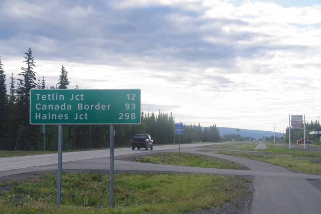
The road from Tok to Beaver Creek looked like a good two day ride of 113 miles. It would bring me across the Canadian border. There was settlement of Northway Junction at 50 miles so ideally find a spot just a bit further.
IMGP2812
The road started out both smooth and flat for the first 10 miles. My bicycle was gliding better now that I figured out that the rear wheel hadn’t been mounted 100% centered. At 10 miles was the broad expanse of the Tanana River. I had been roughly following this river last few days and this was the last crossing. It was a wide bridge with good shoulder but there were also signed nearby of earlier bridges.
IMGP2816
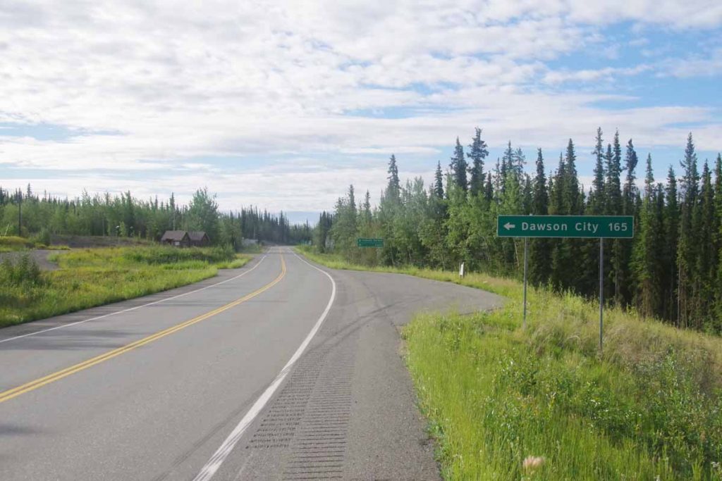
At 12 miles a road junction pointed to the Taylor Highway with roads to both Eagle and Chicken and then long way around to Dawson City. The latter went on a reportedly rough route known as the “top of the world highway” but I figured I’d stay on the standard route.
IMGP2819
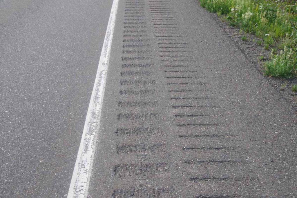
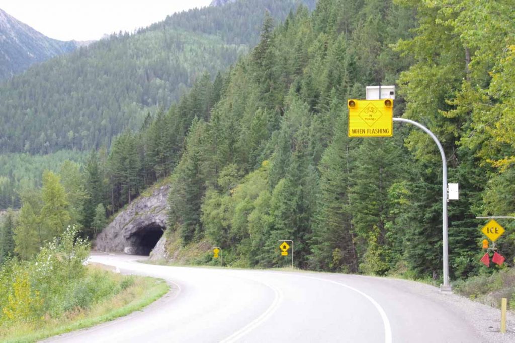
After this point the road frequently seemed to climb up along the hillside only to descend a few miles later. There were multiple iterations and it made things just slightly slower. The road was generally smooth, though occasionally a perfectly reasonable shoulder got messed up with double rumble strips as shown at photo above.
IMGP2822
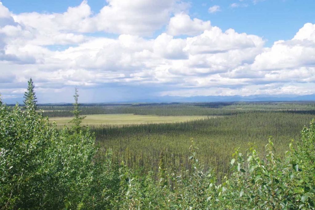
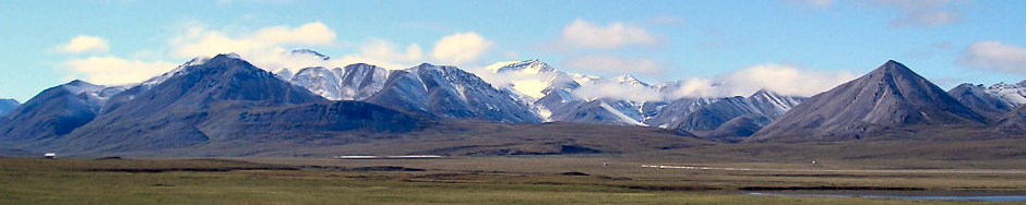
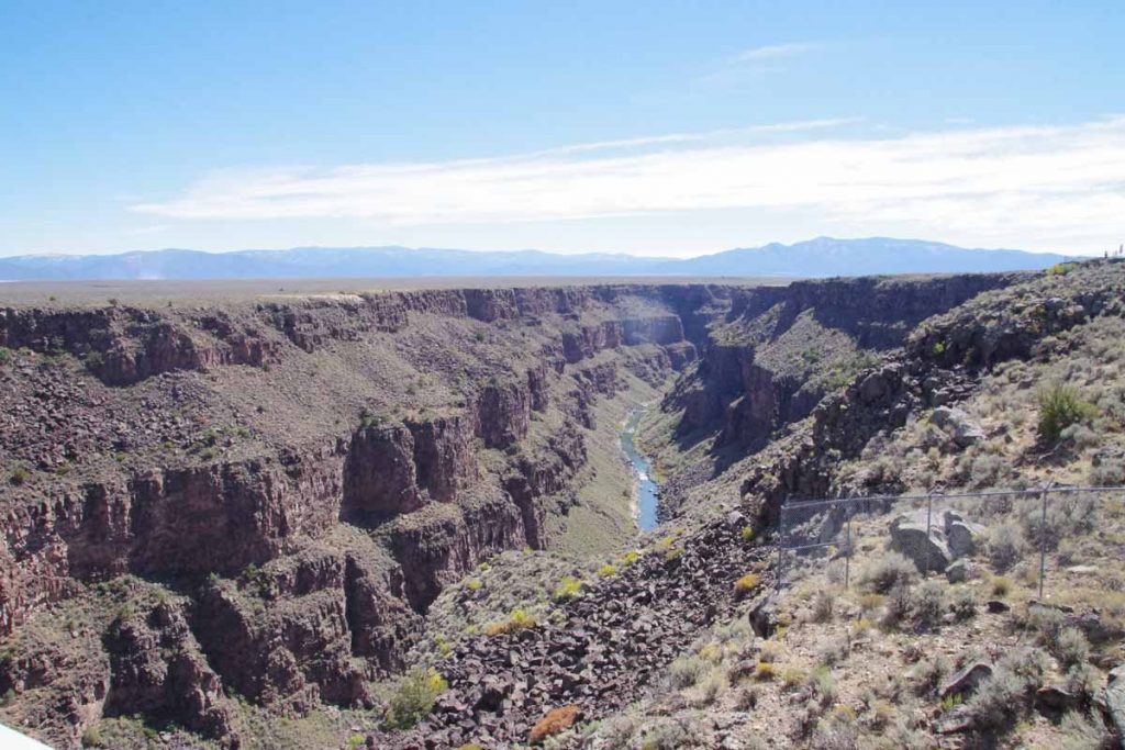
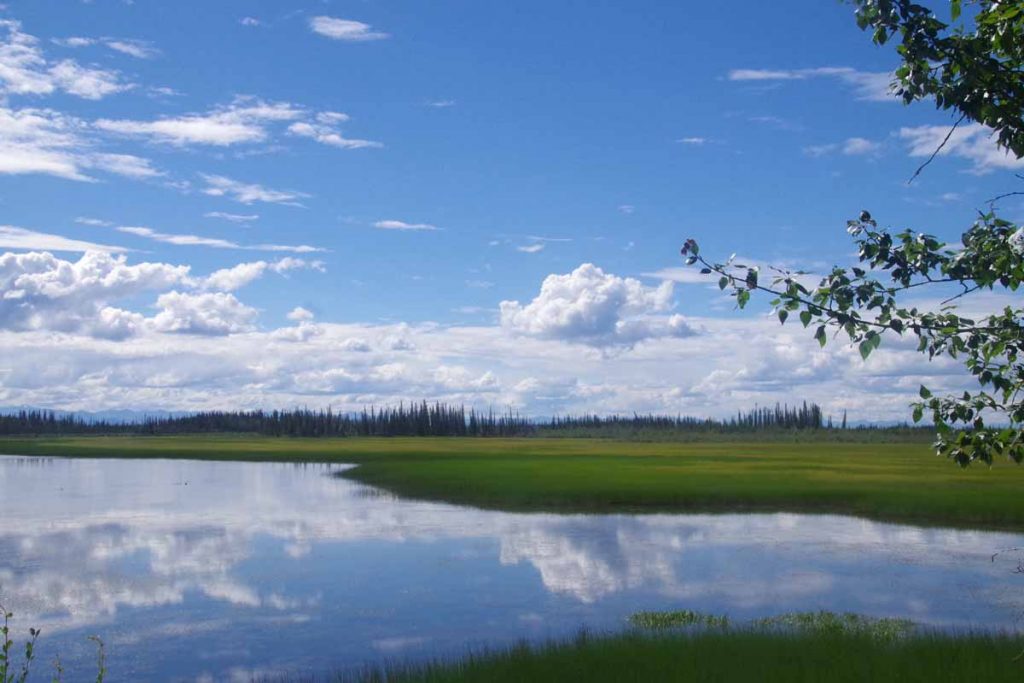
However, overall it was a beautiful ride and occasional trips along the mountain led to nice expansive views as shown above.
IMGP2824
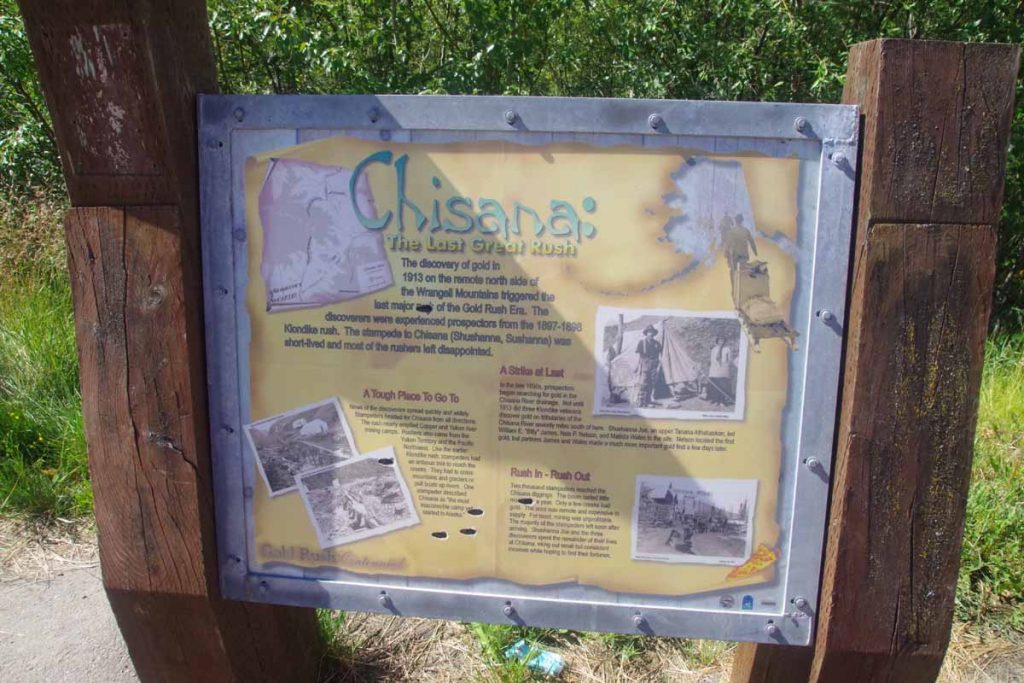
I came along several interpretive signs including this one that explained the last gold rush in 1913 in Chisana River area.
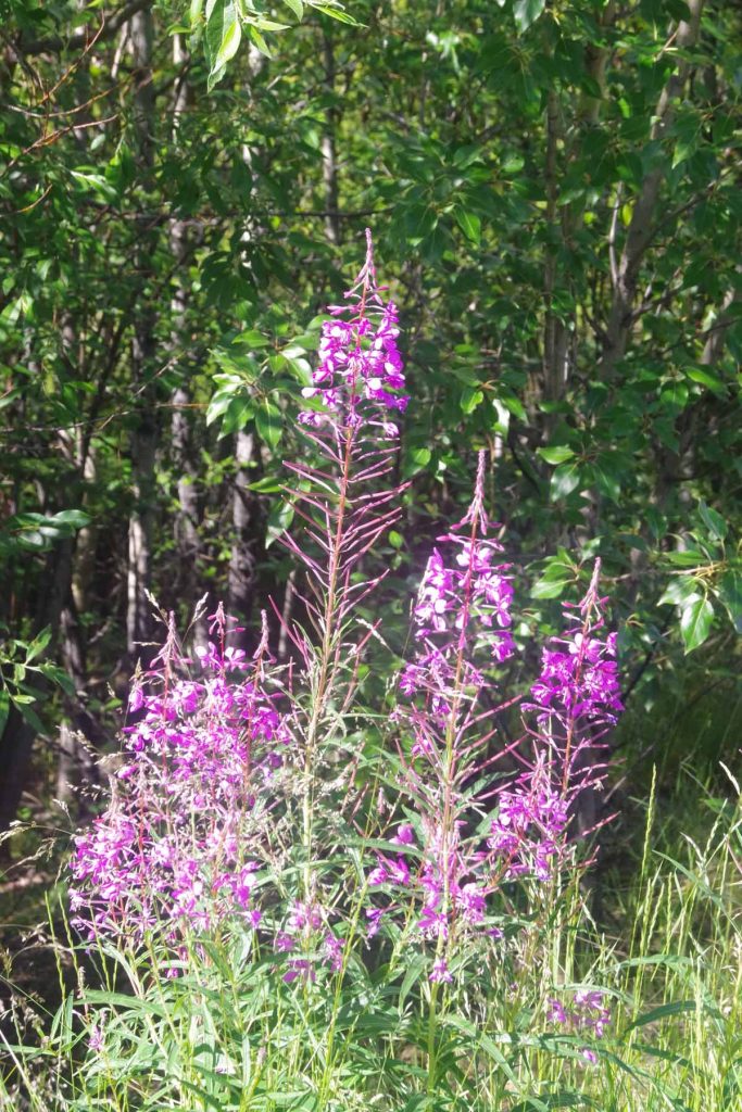
The flowers seemed to be in full bloom. Also unfortunately a few biting deer flies. I needed to pay attention while stopped because they would take just a bit to hone in, but if you didn’t get them then the bite had a sting to it.
IMGP2829
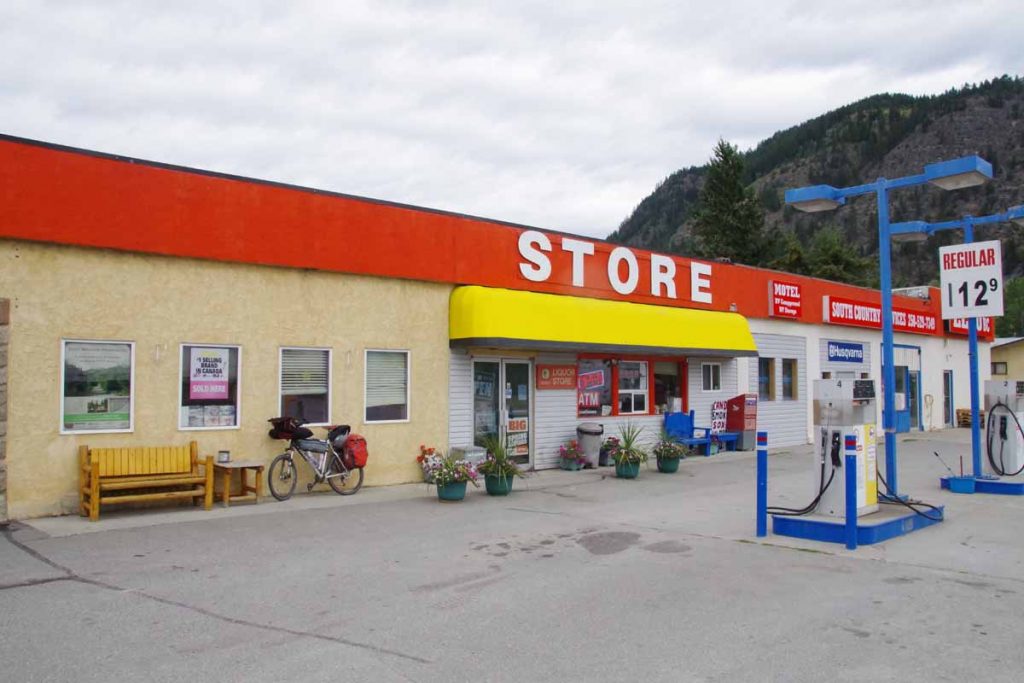
Without too much difficulty I was at the Northway Junction store a little past noon. I had done 50 miles of pretty cycling. I took an extended leisurely gas station lunch as I heated and ate several items they had for sale. It briefly rained but nothing too bad. Finally after an hour and a half, I set off another seven miles down the road to the Lakeview Campground listed in “The Milepost”.
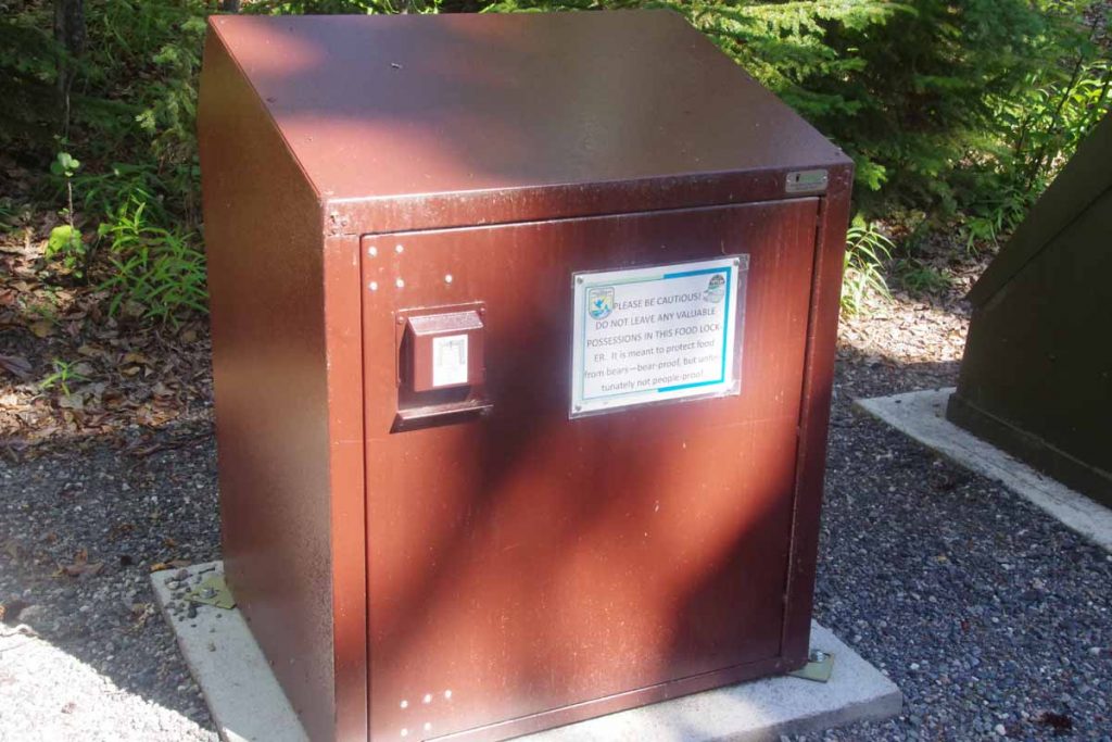
It was a lovely campsite along the lake. They even had a bear-proof container to put your food, complete with a label that talked more about humans than about bears. Not far away as a “bird blind” that was in shade and hidden that you could sit and watch the lake as well as the birds.
IMGP2832
It was a nice relaxing afternoon as I set up the tent, made dinner and otherwise relaxed. Overnight we had several storms drop through some rain, but all was dry in the tent.
IMGP2833
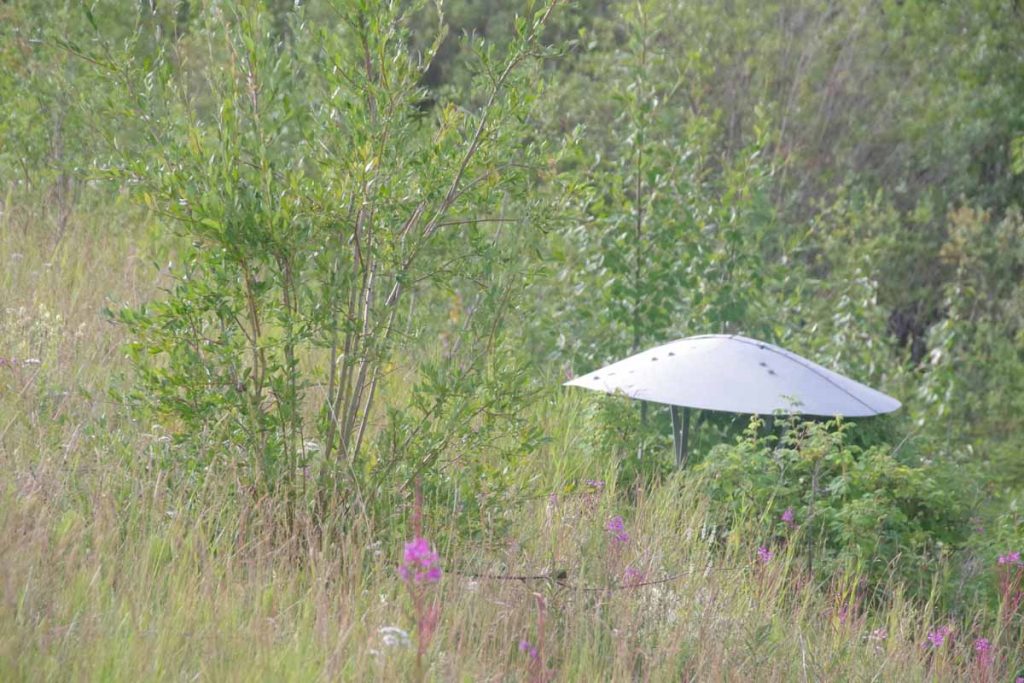
On the second day, I set off by 6:30am or so. The road continued its roller coaster hills though not quite as large as the day before. The overcast skies had fortunately cleared and it was good cycling. One intriguing thing I saw along the way were these conical segments supposedly as an experiment to see if they could help maintain permafrost and hence keep the road from settling further.
IMGP2836
The overall theme started as “cycling to the border”.
IMGP2838
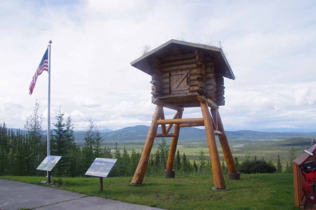
As I got close, I came past this “cache” on stilts that was part of an exhibit of the Teslin Wildlife Refuge Visitor Center. Nice visitor center here where I stopped briefly before continuing…
IMGP2841
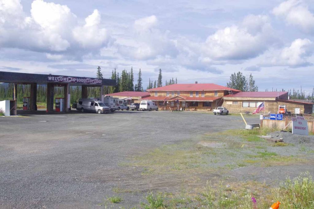
to the border city lodge. This was a larger roadhouse with motel, café and small store. Service was a bit slow, but I was able to get a cheeseburger here and refuel. After that I cycled the remaining 3.5 miles to the official border.
IMGP2843
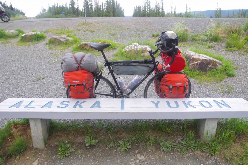
The photo above shows the bike half in Alaska and the front half already in the Yukon.
IMGP2845
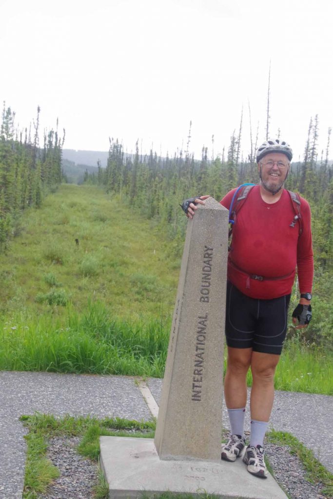
Photo above is the obligatory border marker photo. What is more interesting than my photo is you can see behind that they’ve cleared the small path all the way along the border in the distance.
IMGP2849
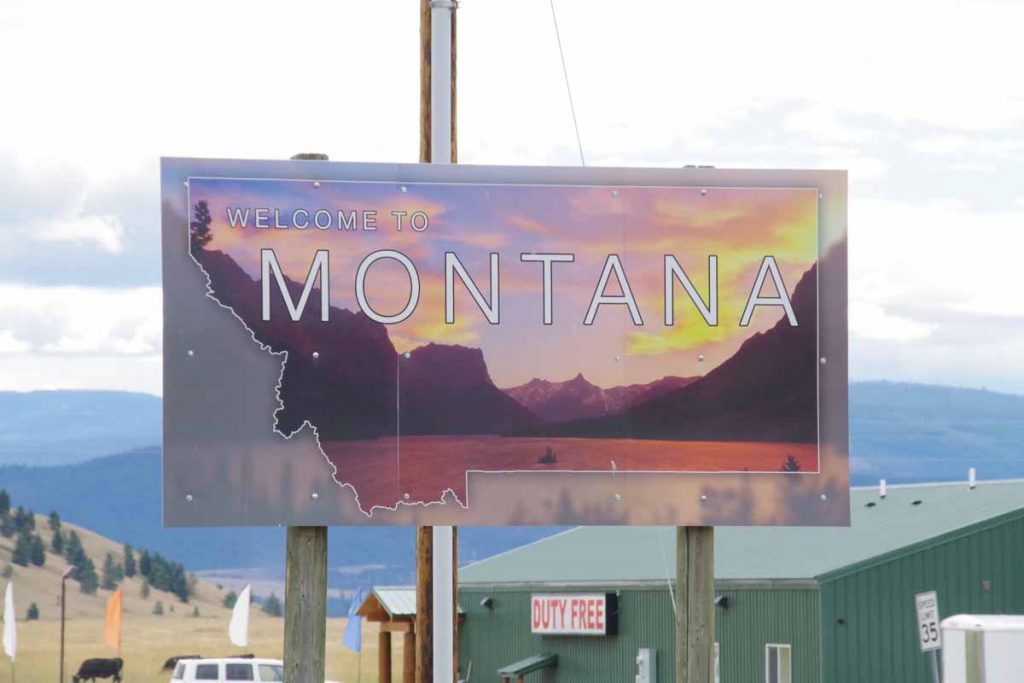
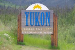
Picture above is sign for entering the Yukon Territory. These were all at the official border.
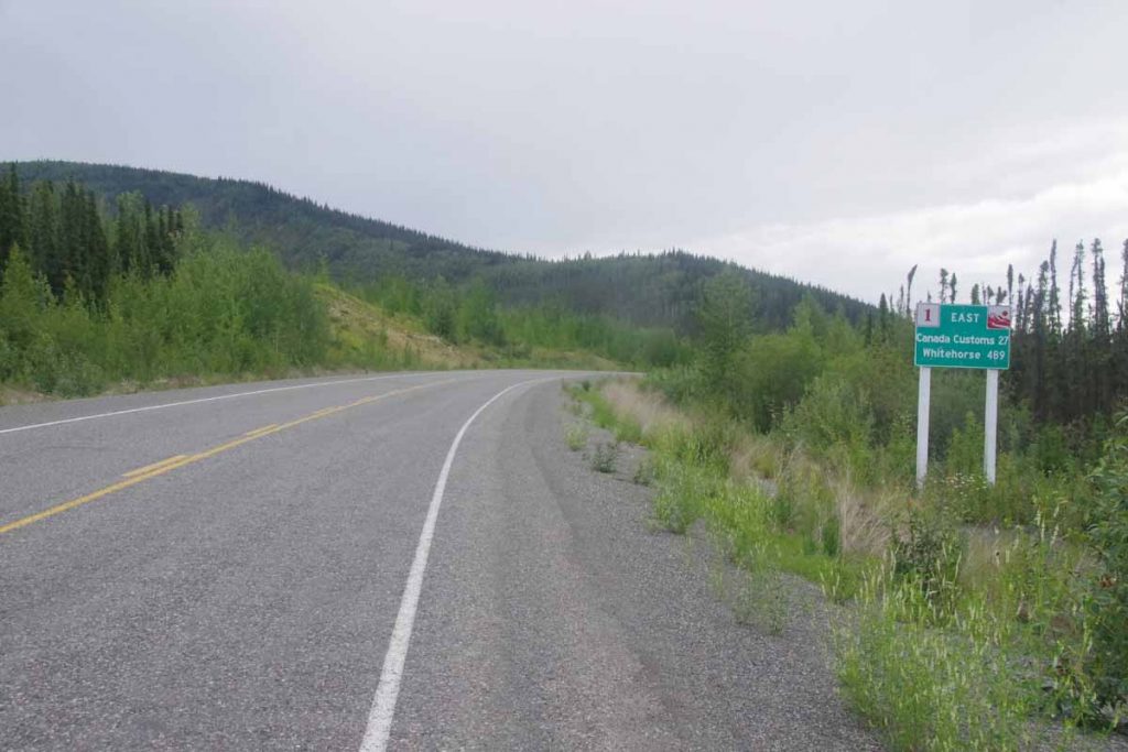
However, there were still another 27 km before I reached the official entry point into Canada. The first few kms were hilly and then it settled out better.
IMGP2850
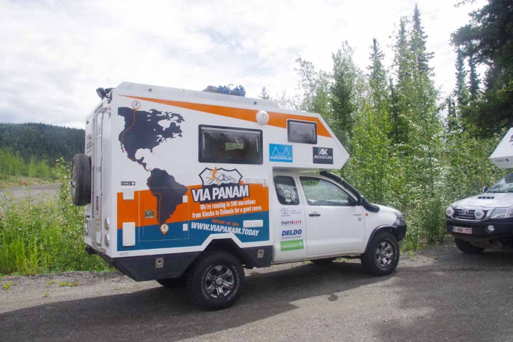
Along the way, I came past the crew from www.viapanam.today a Belgian runner who is spending 22 months running from Deadhorse to Ushuaia. They had two of these little campervans which was fun.
IMGP2851
I cycled the remaining distance to reach the Canada Customs. They had some standard type questions such as whether I was bringing tobacco, alcohol, firearms or weapons including knives, bear spray into Canada. They also did a rough set of questions of whether I would be financial burden, e.g. did you have enough $ (I listed cash as well as ATM), that I wasn’t working but did have a house rented. They asked if I had visited any other countries in 2016 and then thumbed through my passport and noted the Khartoum (Sudananese) visa so I noted that was part of an African cycle trip. Fortunately with that conversation I passed the test and was on my way. I did specifically request a passport stamp.

Found a motel in Beaver Creek and got my clothes cleaned at local laundry. First night the wifi was having problems, something about having upgraded their phone service. However, I separately decided to take a rest day here and on second day the wifi was now working.

I’ve cycled six days and plan is now to take a rest day before tackling a similar distance from here to Whitehorse.

Posted in Alaska, Canada, USA, Yukon | Tagged bear enclosure, border crossing, camping, rumble strips, wildlife refuge
©2023 - A bicycle ride across the Americas - Weaver Xtreme Theme
↑