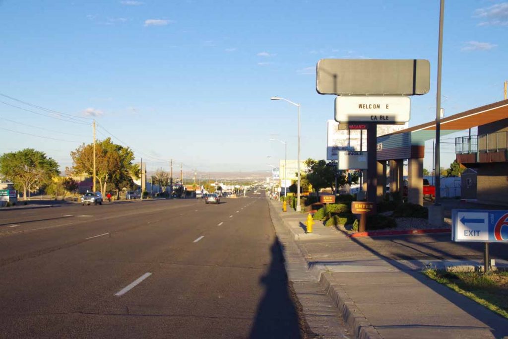
Weather forecasts and restricted highways influenced my cycling over the past day and a half to Socorro. Weather forecast called for a front to move through on Monday with a windy afternoon from the SW (headwinds). Hence, I wanted to get as far as I could before then. There is a stretch of I-25 without reasonable paved alternatives, so I also wanted to travel the interstate at a reasonable time.
First twelve miles were along major streets in Albuquerque. Sunday morning early and there wasn’t much traffic on the road. However, Albuquerque streets seem to have a fair amount of debris – and particularly in bike lanes one needs to keep a watch out. I cycled past Kirkland Air Force Base and then the ABQ airport before crossing I-25 and taking the main road past scrap metal and junkyards out of town.
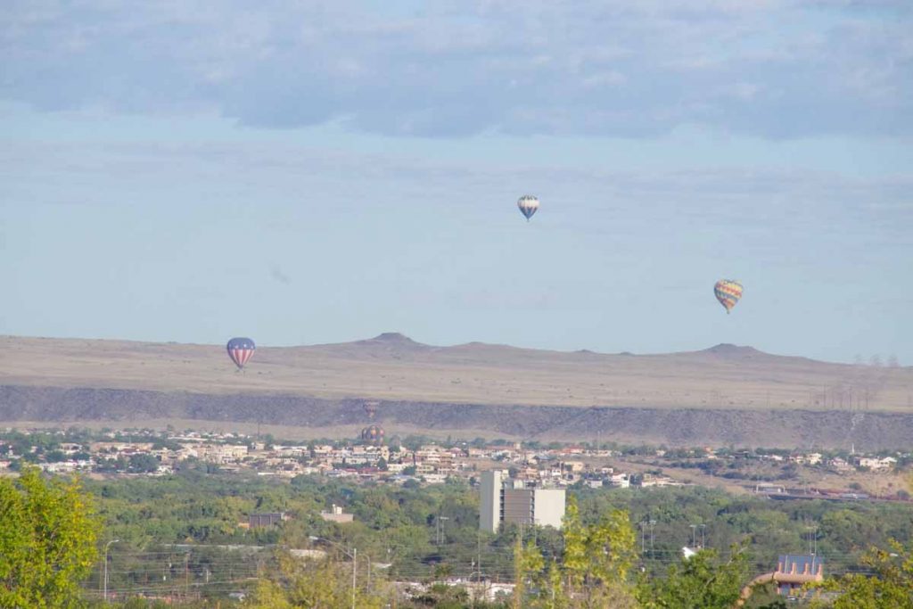
There were perhaps a dozen balloons aloft as part of the balloon festival.
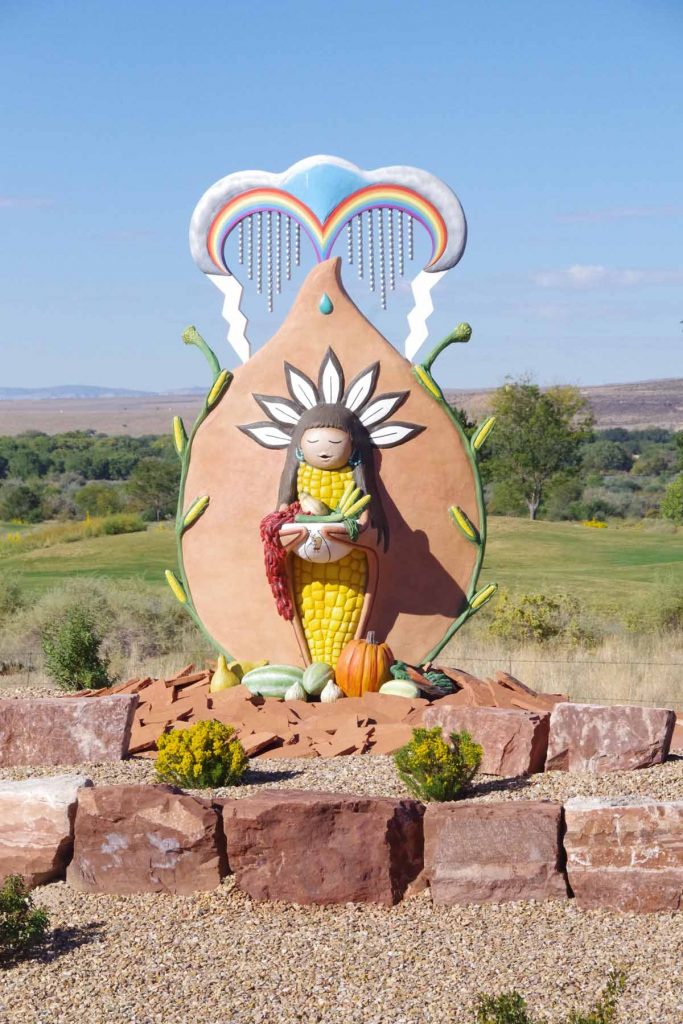
At 17 miles, I crossed I-25 and briefly went via an Indian reservation.

This brought me through a more agricultural region along east size of the Rio Grande River. Some nice cycling here through mixture of small towns and countryside.
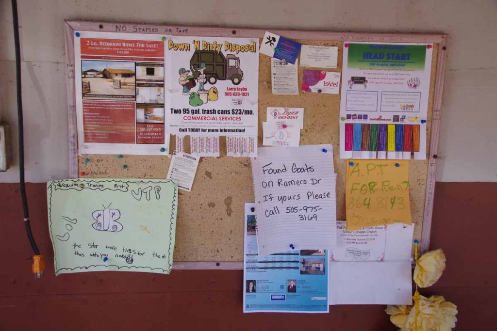
Has anyone lost their goats?
It was fairly flat without too much wind so made good time. By 60 miles I had a choice to make. Should I stop at I-25 exit #175 at the RV park or instead keep going to I-25 exit #163 at Las Casitas RV park?
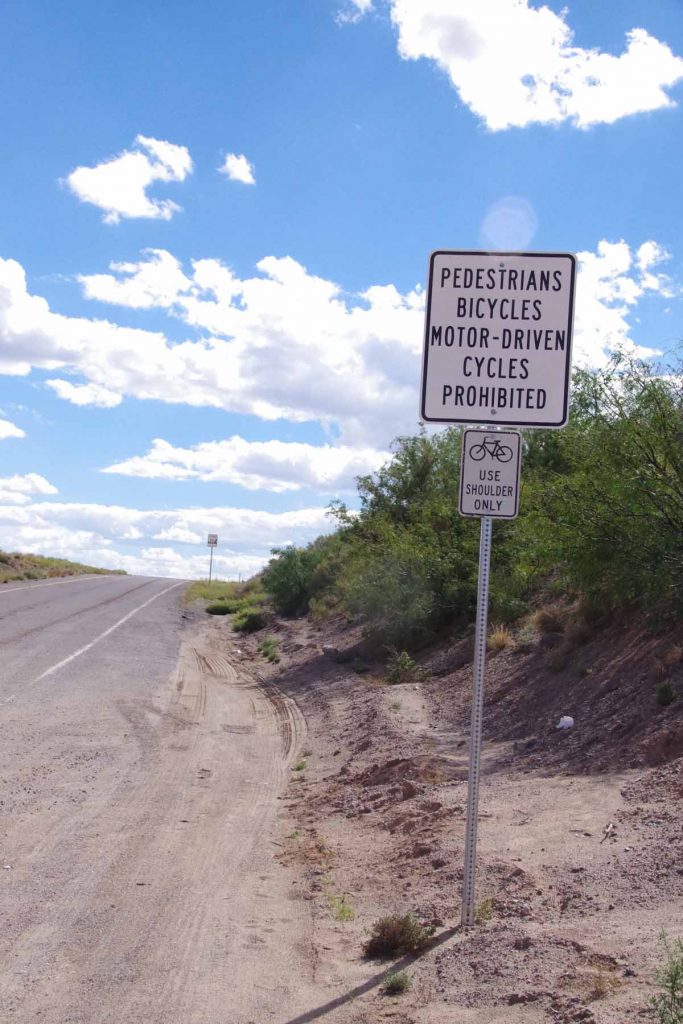
I got on shoulder of I-25. There were signs both prohibiting bicycles and saying they should stay on the shoulder.
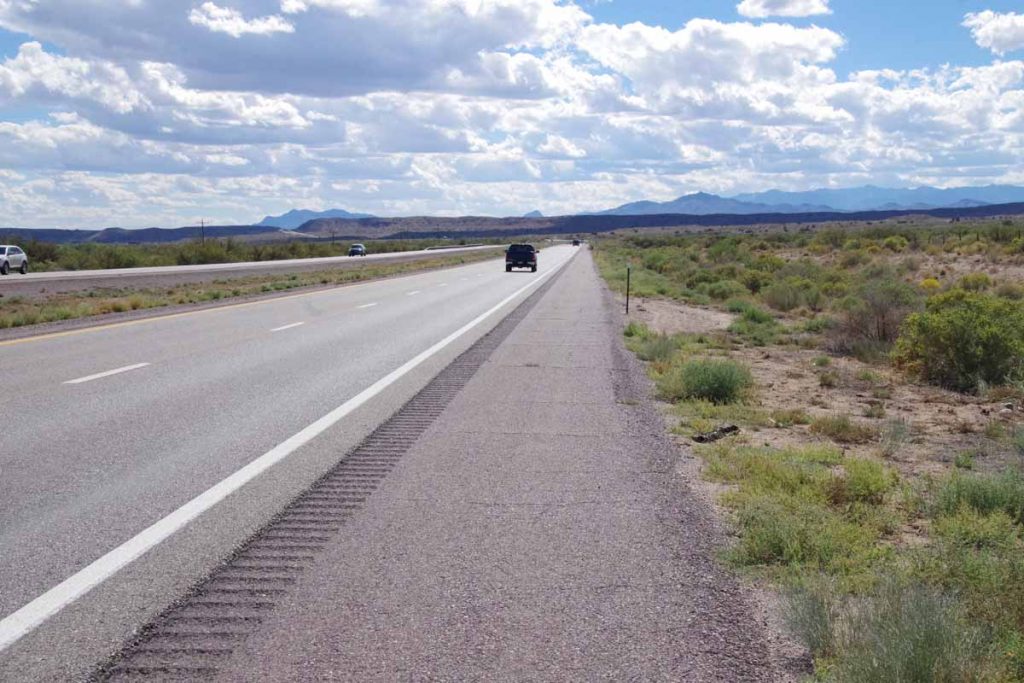
The shoulder wasn’t too bad and not a huge amount of traffic. Only had to watch for occasional “road alligators”, namely those shredded truck tires that were ready to reach up and grab unsuspecting bicycle tires.
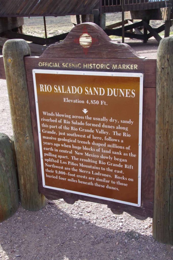
I came past a rest area where signs told of sand dunes. A few miles later, the I-25 riding was done and I finished at the RV park. Overnight there was briefly some rain on the tent, but by morning the tent was dry and no signs of any precipitation.
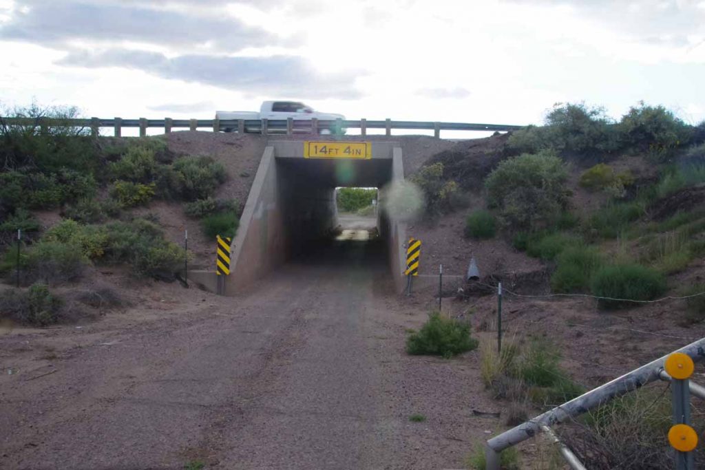
Next morning I had carefully crafted a route found from looking up the internet. It stayed on back roads and avoided need for an additional 13 miles of I-25 riding. I started by going underneath the interstate to follow frontage roads.
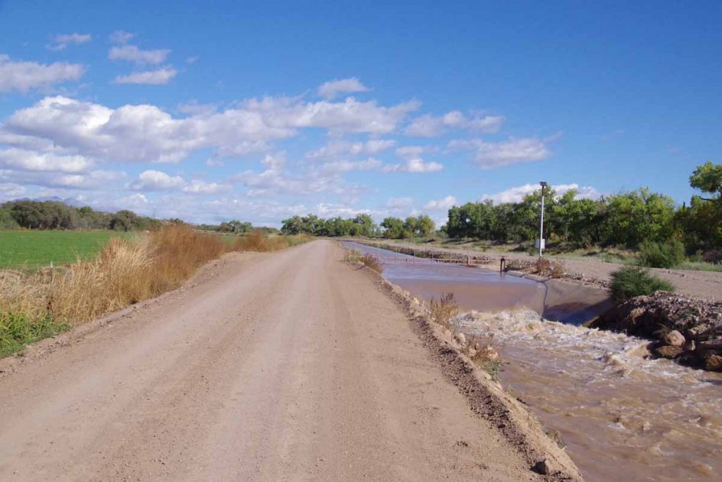
Google maps bicycle instructions doesn’t always avoid gravel, but fortunately only a mile and a half. Also there was already some wind from the SW but nice that I was going only shorter distance.
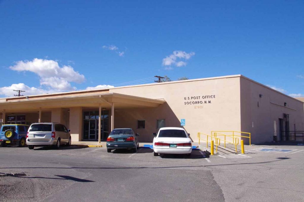
Without too much difficulty, this brought me to the post office. Why the post office?
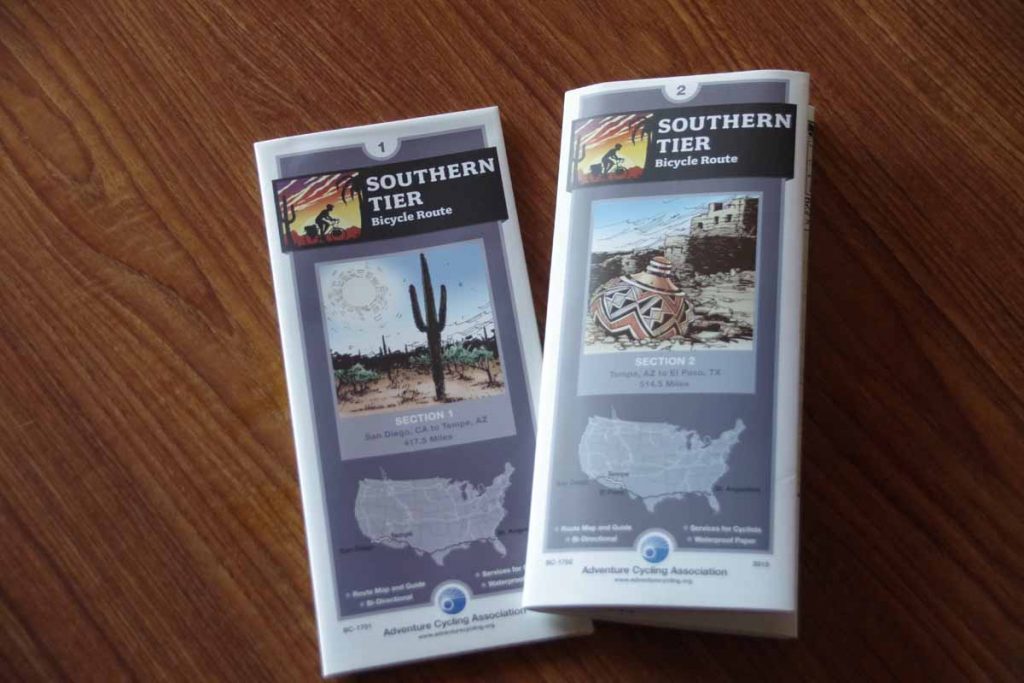
I had an envelope to pick up that contained the Adventure Cycling Southern Tier bicycle maps. I had ordered these to come to Socorro (one wants to pick a town large enough that the post office has reasonable hours but not so large that there is more than one post office). I plan to follow Map #1 from Tempe to San Diego. I am less certain how much of Map #2 I’ll catch since it is still a ways further south going via El Paso to Tempe – and I might more likely cut across further north. However, this now lets me sort this all out.

