↓
 

A bicycle ride across the Americas

from Deadhorse (SCC) to Ushuaia (USH)

  • Home
  • Plan
  • Blog
  • Photos
  • FAQ
    • Why?
    • Where?
    • What next?
  • Map
  • Equipment
  • Calendar
  • Countries
    • USA
      • Alaska
      • Montana
      • Wyoming
      • Colorado
      • New Mexico
      • Arizona
      • California
      • Texas
    • Canada
    • Mexico
    • Guatemala
    • Honduras
    • Nicaragua
    • Costa Rica
    • Panama
    • Colombia
    • Ecuador
    • Peru
    • Bolivia
    • Chile
    • Argentina
  • Weather
  • Links
  • Contact
Home→Tags wind

Tag Archives: wind

Quemado

A bicycle ride across the Americas Posted on 2016-10-06 by mev2016-10-06

Crossed the continental divide and back in the Colorado River drainage.
imgp4192
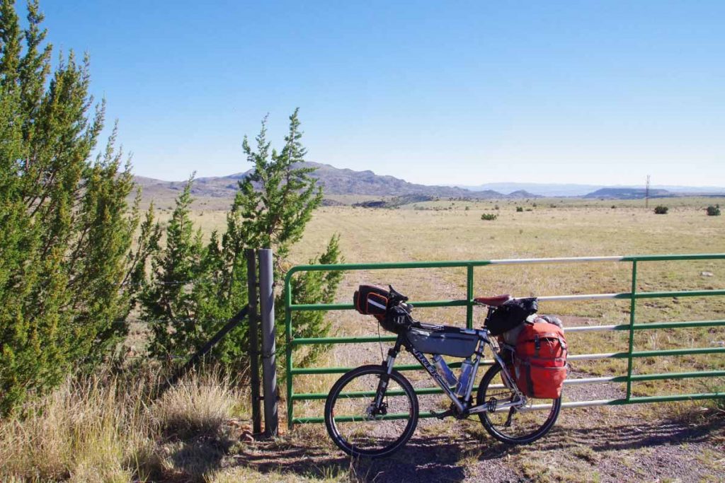
Datil is at 7300ft. First 11 miles were a gradual climb to 8095ft elevation, mostly following a drainage with scrub trees along the way. Photo above was as I crossed the high point.
imgp4193
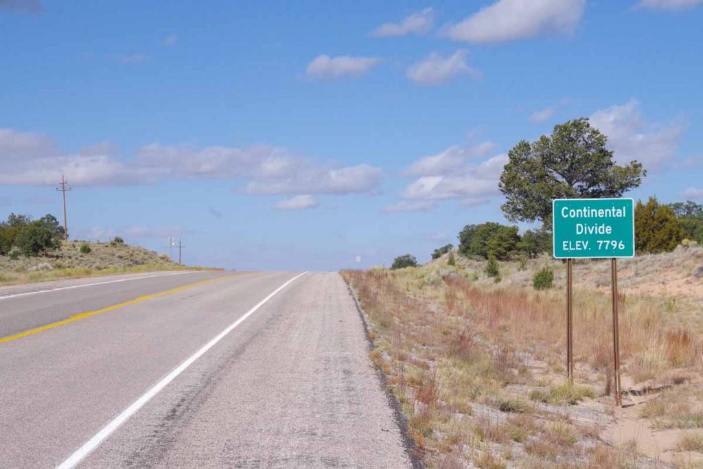
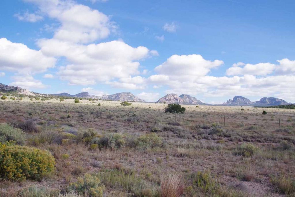
The Datil Mountains were now to my right. It was across some drainages and a net drop of a few hundred feet before I crossed the continental divide.
imgp4195
A few miles later, I reached Pie Town. With a name like that, no excuse to at least stop and have some pie.
aimgp4200
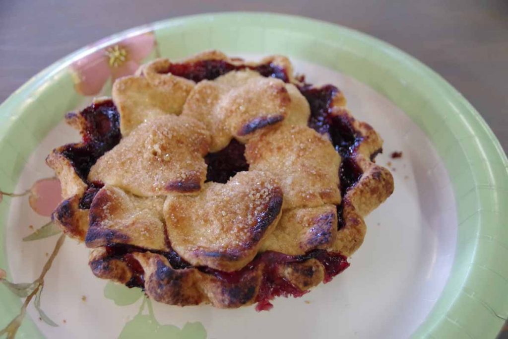
I had a small “very berry” pie. Pie Town is also a crossing point to the Great Divide Mountain Bike Route. While I didn’t see other cyclists, I did have a local give me directions to the “Toaster House” – a local cyclist-only lodging listed on the GDMBR maps.
imgp4199
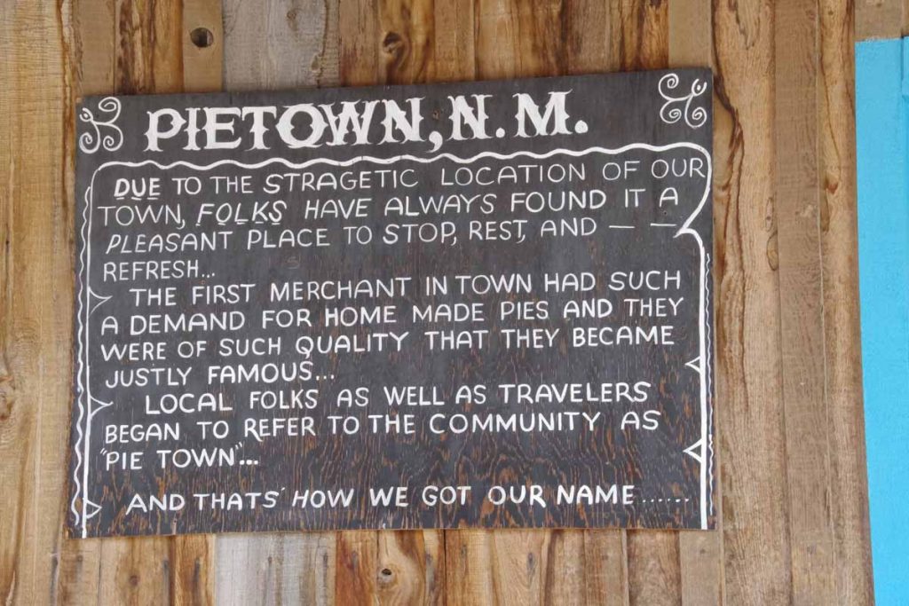
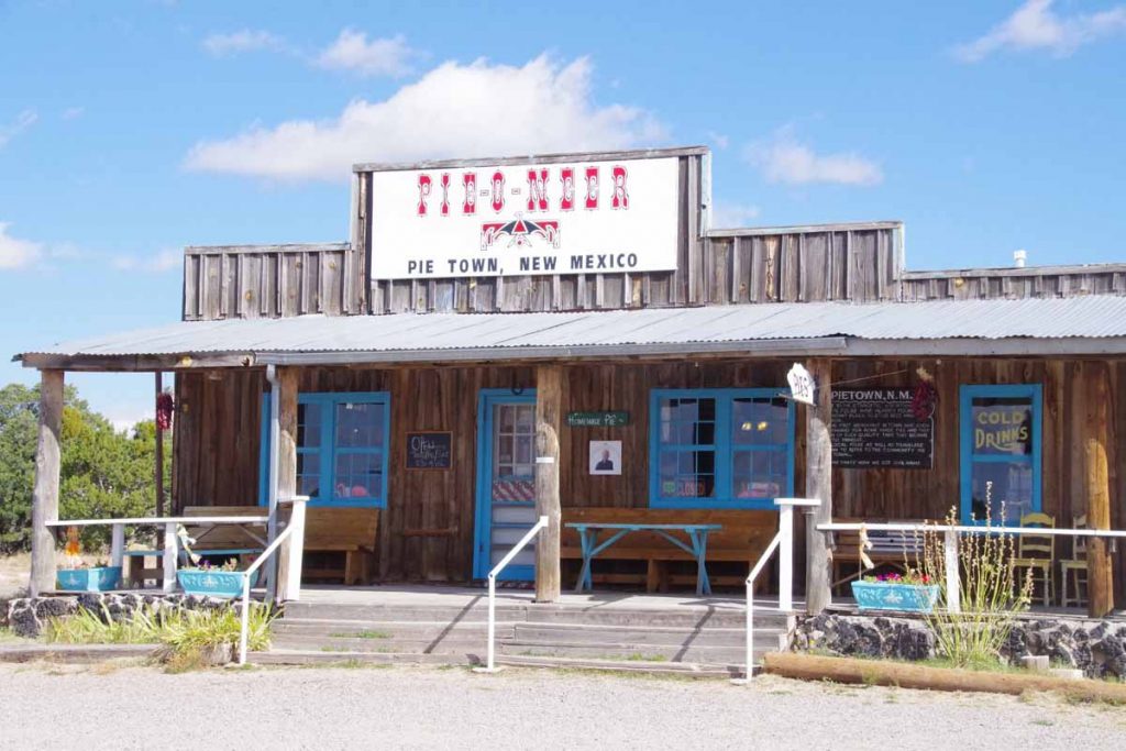
Here is the story of how Pie Town got its name. There were actually three cafes in town, though only one was open when I arrived.
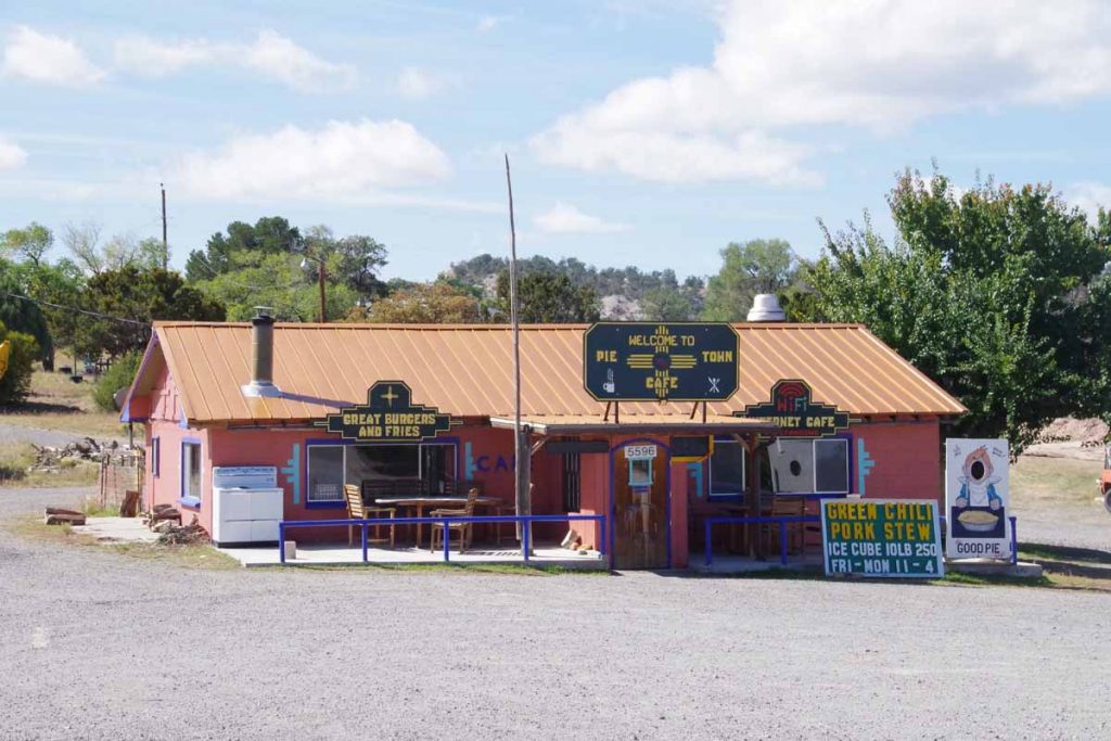
imgp4201
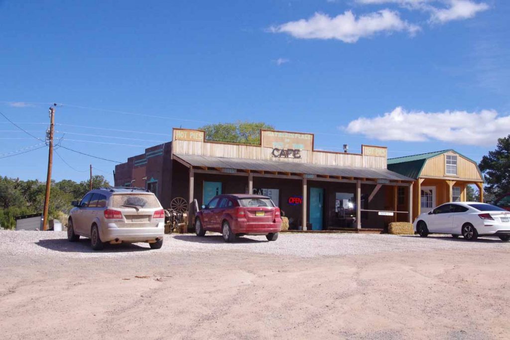
This is the one I ordered the pie above.
imgp4198
The Pie-o-neer was opening later in the day.
imgp4202
The cafe was the third place. All three seemed to advertise pies so I wasn’t the only one getting pies.
imgp4203
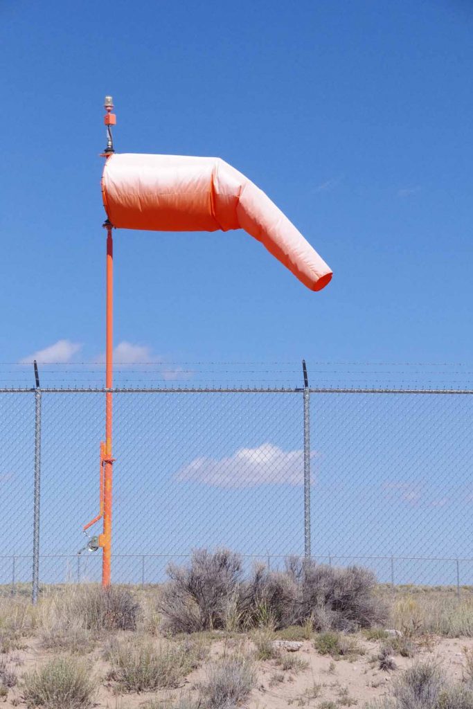
After this another 22 miles with ~1000ft of net descent as I cycled through mostly open countryside. Light headwinds again as this seems to be a consistent weather pattern.
imgp4204
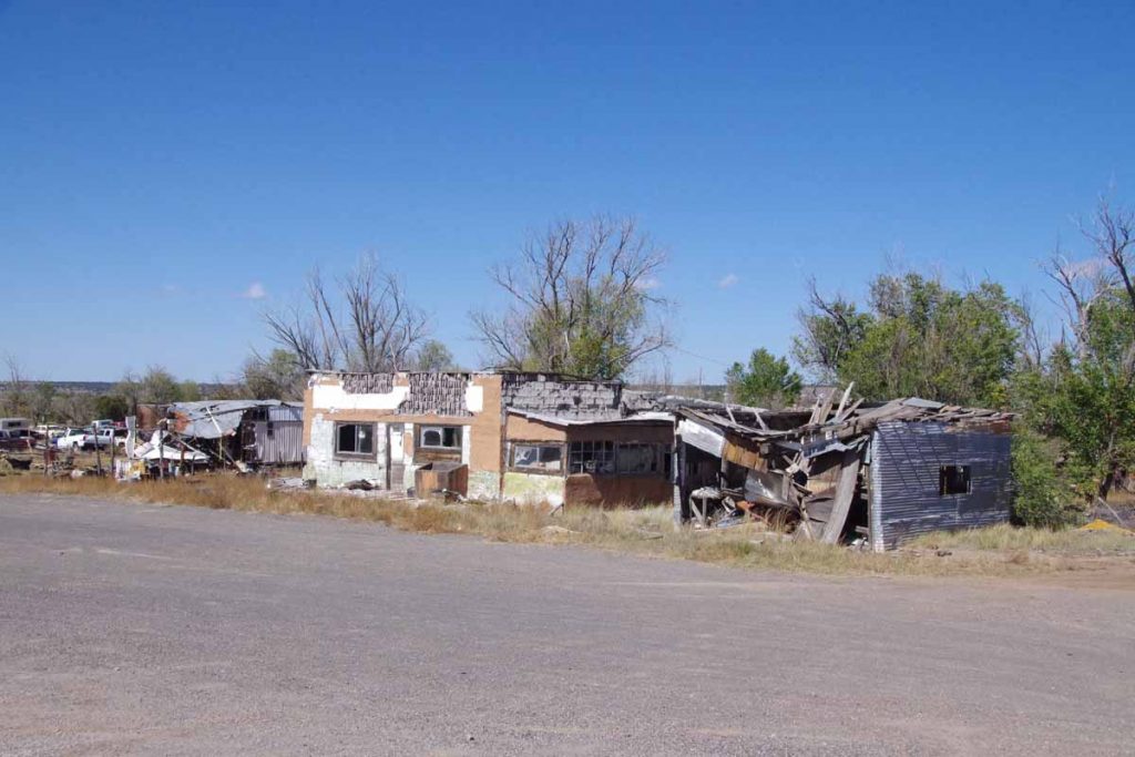
Part way along was a settlement known as Omega. Buildings above had seen better days.

After this came into Quemado, “home of the Eagles” and otherwise a small main street.

Posted in New Mexico, USA | Tagged continental divide, pie, wind

Magdalena

A bicycle ride across the Americas Posted on 2016-10-04 by mev2016-10-04

Four and a half hours to do 27 miles. It wasn’t very far and definitely wasn’t very fast. However, I’m now 2000ft higher and also upwind (at least for today) of where I started this morning.
imgp4167
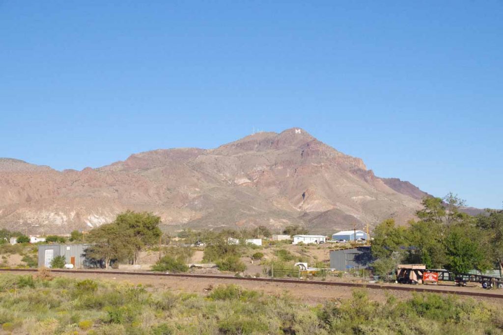
Half mile on the main street and then I started following US 60 up the hill. On my right was “M Mountain” also known as Socorro Peak. Socorro is home of New Mexico Tech (also known as New Mexico Institute of Mining and Technology – and formerly known as New Mexico School of Mines). I assume the M has something to do with mines…
imgp4168
There was some road construction. The construction itself was minor, but for rest of the day I had full trailers of dirt passing me and empty ones coming back. I’m still not quite sure where they were going to dump the dirt.
imgp4170
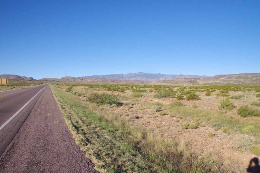
A majority of the climb was in the first eleven miles. The next nine miles were mostly flat, but instead got a headwind to keep things in check.
imgp4171
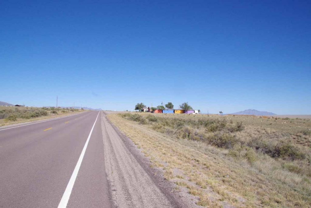
Someone had fun painting those buildings, when I came to them they were mostly abandoned though.
imgp4173
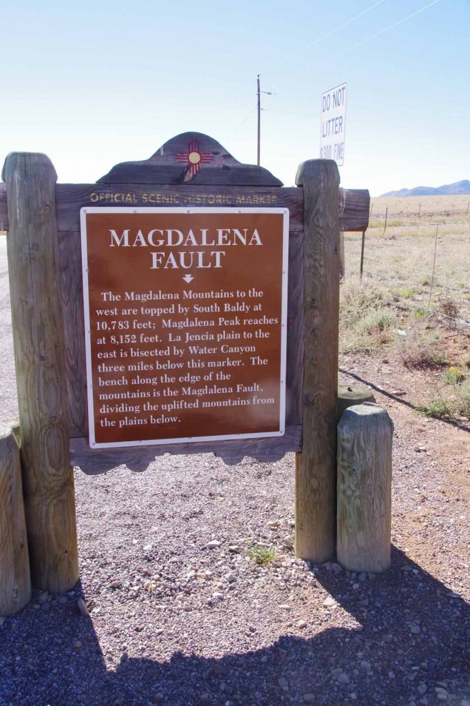
Signs for the Magdalena fault.
imgp4175
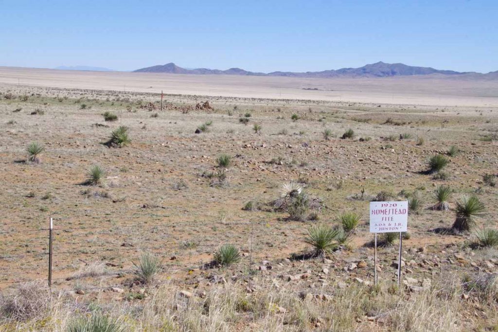
Homesteading this land in 1920 would have been a hard life. No problem clearing the land, but not sure what they would do to get water on the property or how much could be done if they didn’t have water.
imgp4176
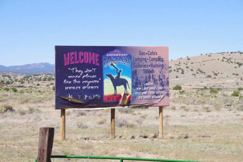
Around the bend, up the last hills and I was happy to be in Magdalena. Also in enough time to get to the cafe before it closed. The town has a few galleries, more than one motel, a small grocery and a convenience store. However, one restaurant is closed on Mondays and Tuesdays and a second closes just after lunch. However, happy to get here after a slow ride this morning.

Posted in New Mexico, USA | Tagged m mountain, wind

Socorro

A bicycle ride across the Americas Posted on 2016-10-03 by mev2016-10-03

imgp4150
Weather forecasts and restricted highways influenced my cycling over the past day and a half to Socorro. Weather forecast called for a front to move through on Monday with a windy afternoon from the SW (headwinds). Hence, I wanted to get as far as I could before then. There is a stretch of I-25 without reasonable paved alternatives, so I also wanted to travel the interstate at a reasonable time.

First twelve miles were along major streets in Albuquerque. Sunday morning early and there wasn’t much traffic on the road. However, Albuquerque streets seem to have a fair amount of debris – and particularly in bike lanes one needs to keep a watch out. I cycled past Kirkland Air Force Base and then the ABQ airport before crossing I-25 and taking the main road past scrap metal and junkyards out of town.
aimgp4153
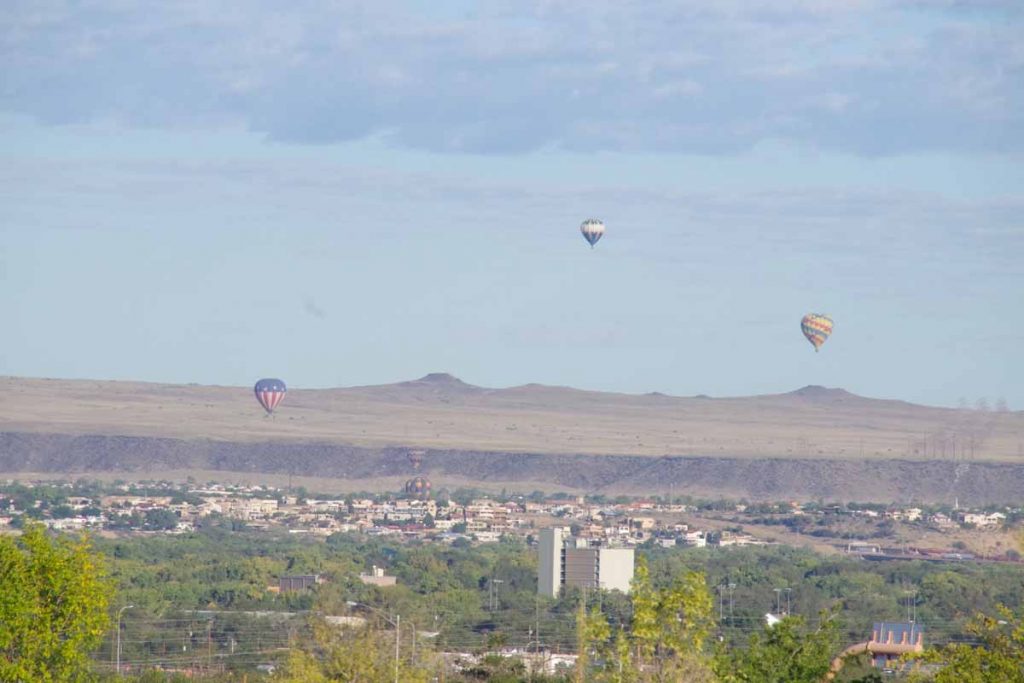
There were perhaps a dozen balloons aloft as part of the balloon festival.
imgp4154
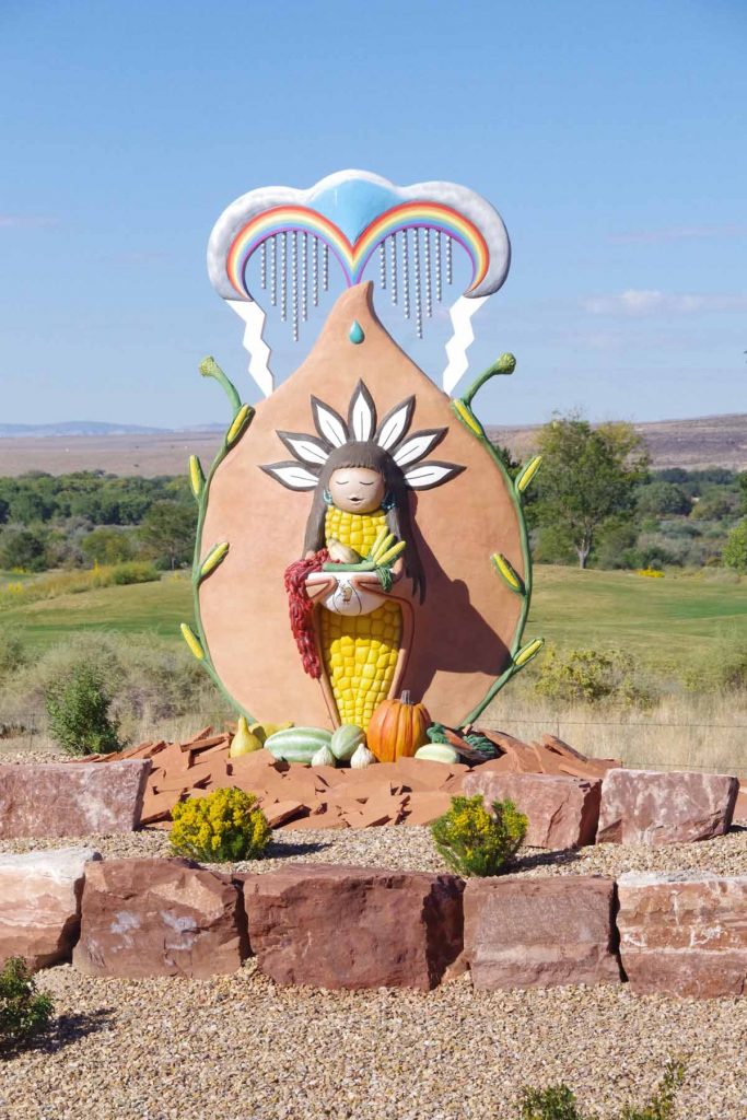
At 17 miles, I crossed I-25 and briefly went via an Indian reservation.
imgp4156
This brought me through a more agricultural region along east size of the Rio Grande River. Some nice cycling here through mixture of small towns and countryside.
imgp4157
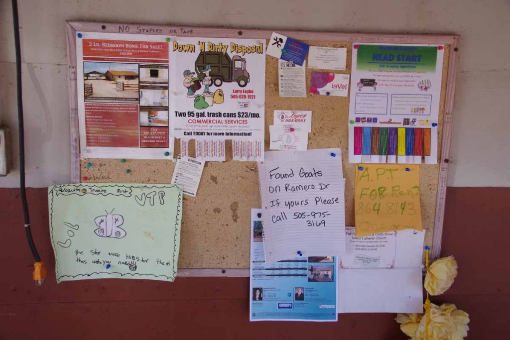
Has anyone lost their goats?

It was fairly flat without too much wind so made good time. By 60 miles I had a choice to make. Should I stop at I-25 exit #175 at the RV park or instead keep going to I-25 exit #163 at Las Casitas RV park?
imgp4160
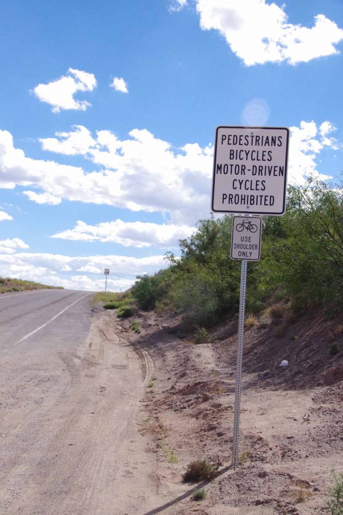
I got on shoulder of I-25. There were signs both prohibiting bicycles and saying they should stay on the shoulder.
imgp4159
The shoulder wasn’t too bad and not a huge amount of traffic. Only had to watch for occasional “road alligators”, namely those shredded truck tires that were ready to reach up and grab unsuspecting bicycle tires.
imgp4161
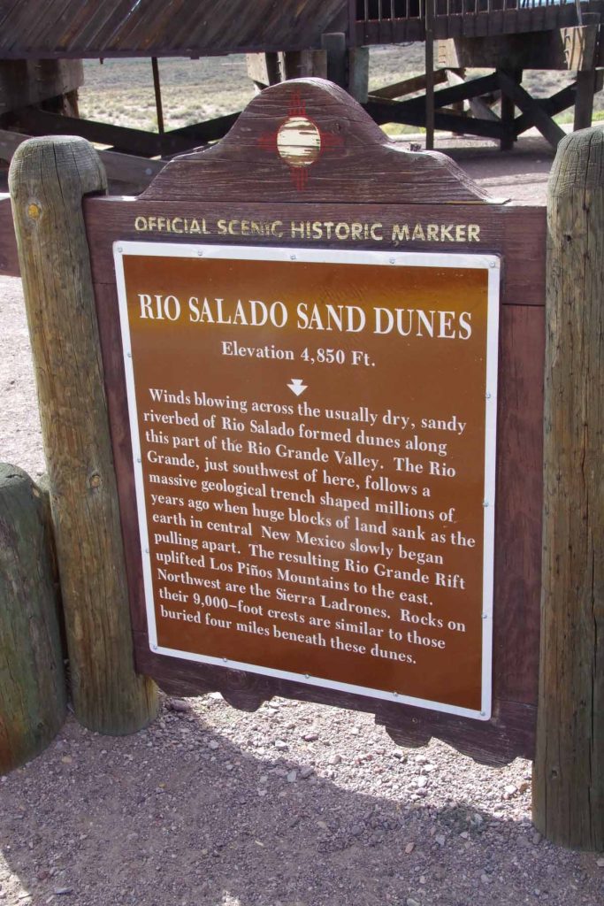
I came past a rest area where signs told of sand dunes. A few miles later, the I-25 riding was done and I finished at the RV park. Overnight there was briefly some rain on the tent, but by morning the tent was dry and no signs of any precipitation.
imgp4162
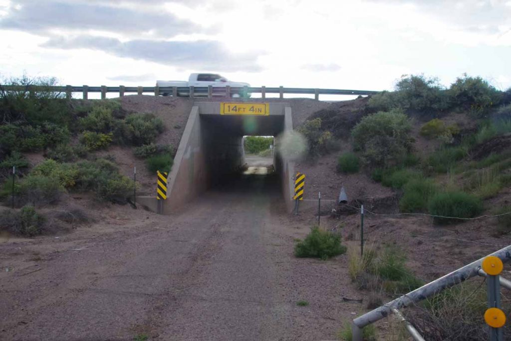
Next morning I had carefully crafted a route found from looking up the internet. It stayed on back roads and avoided need for an additional 13 miles of I-25 riding. I started by going underneath the interstate to follow frontage roads.
imgp4163
Google maps bicycle instructions doesn’t always avoid gravel, but fortunately only a mile and a half. Also there was already some wind from the SW but nice that I was going only shorter distance.
imgp4164
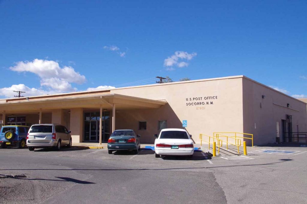
Without too much difficulty, this brought me to the post office. Why the post office?
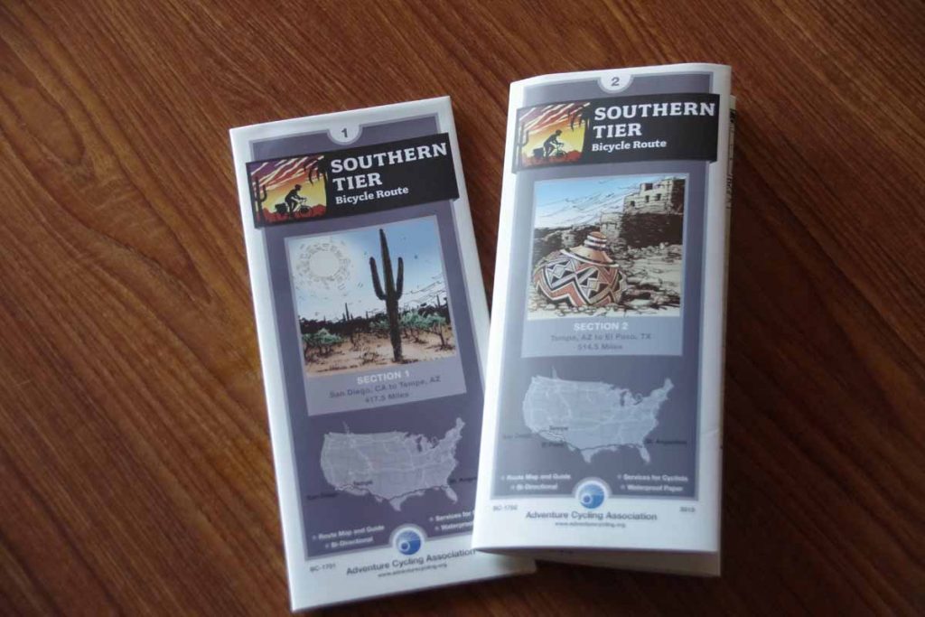
imgp4166
I had an envelope to pick up that contained the Adventure Cycling Southern Tier bicycle maps. I had ordered these to come to Socorro (one wants to pick a town large enough that the post office has reasonable hours but not so large that there is more than one post office). I plan to follow Map #1 from Tempe to San Diego. I am less certain how much of Map #2 I’ll catch since it is still a ways further south going via El Paso to Tempe – and I might more likely cut across further north. However, this now lets me sort this all out.

Posted in New Mexico, USA | Tagged Adventure Cycling, post office, wind

Kremmling, on the road and into the wind

A bicycle ride across the Americas Posted on 2016-09-21 by mev2016-09-21

Two days riding brought me to Kremmling. This was familiar riding on roads I had cycled several times before.
Day One
Nice to be back on the road again. Today the theme was “beat the wind”. While I did end up with headwinds much of the day, I still felt partially successful with almost no wind the first 10 miles.
imgp3946
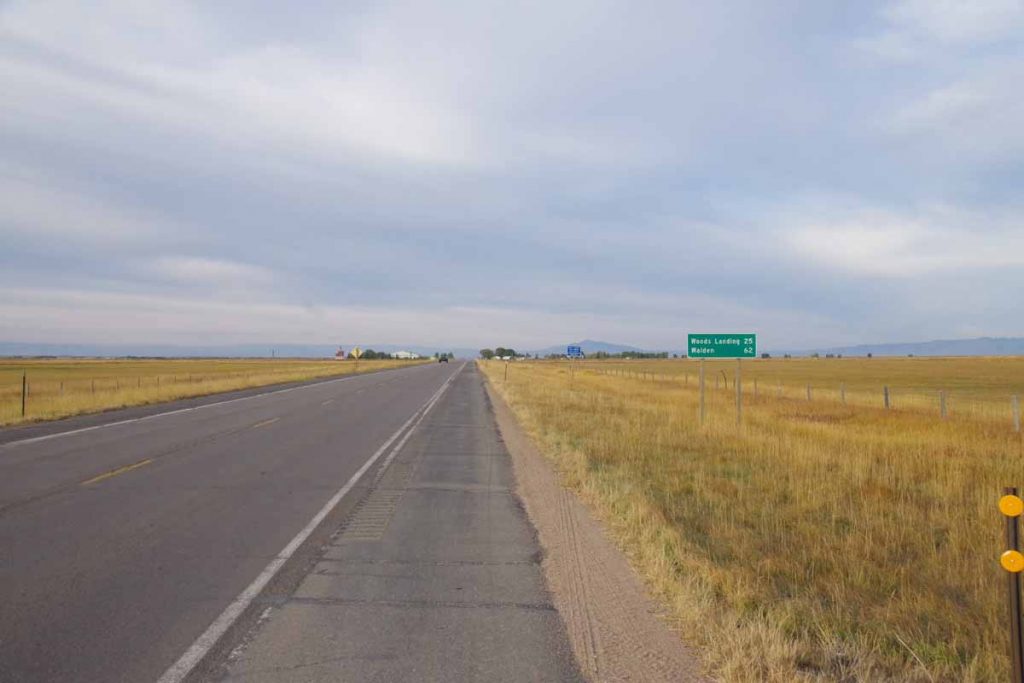
The ride from Laramie quickly becomes flat and open. I was in familiar territory and had done this ride multiple times before. The first 26 miles were through wide open land where the wild card is the wind. It once took me 6 hours to cycle that distance with some ferocious headwinds. Fortunately it was calm starting out and lighter headwinds the last half of the distance.
imgp3947
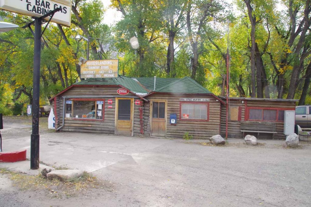
At Woods Landing, one trades the wind for 1000+ feet of climbing. I stopped in and talked with the clerk for a bit. She noted it had been rather hazy, most likely from some of the fires in the area.
imgp3949
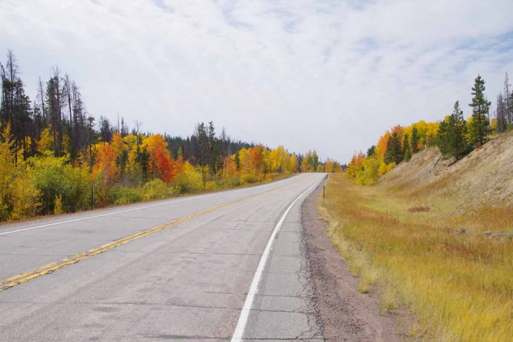
The aspen are beginning to turn. I climbed to slightly over 9100ft before having an occasional descent coming into Mountain Home. Not much later, I crossed the Colorado border.
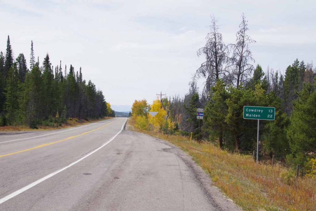
imgp3951
The first indication was the CO 127 road sign.
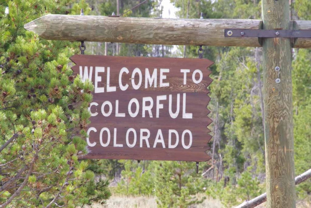
imgp3952
However, shortly thereafter I came to the Welcome to Colorful Colorado sign. It was 9 miles of both headwind and mostly downhill from here to the next road junction.
imgp3954
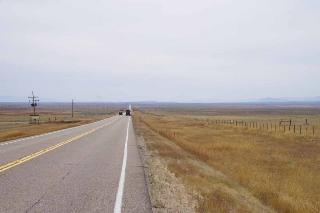
This brought me to North Park, a large treeless and relatively flat area. Walden is in the middle of this space.
imgp3957
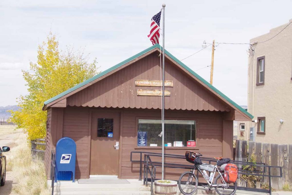
Cowdrey is first. Above is the small post office. There isn’t much else in Cowdrey.
imgp3959
At end of 63 miles I was in to Walden. There are five motels in town and none have vacancies. Apparently, a combination of firefighters, hunters and other workers have made this very popular. It is currently bear and elk season with the latter being bow hunting only. I’m told it will get even busier once the elk season opens for rifles.

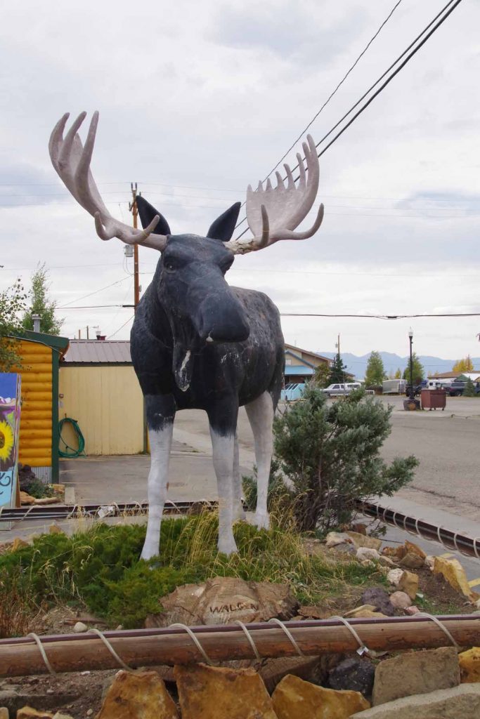
Otherwise Walden dubs itself as the “Moose watching capital of Colorado”. I wandered through familiar haunts before camping in the city park.
Day Two
Warm overnight and the sprinklers didn’t come on. Today definitely had some riding into the wind as it was blowing even at the start. The first 34 miles started in flat open North Park.
imgp3961
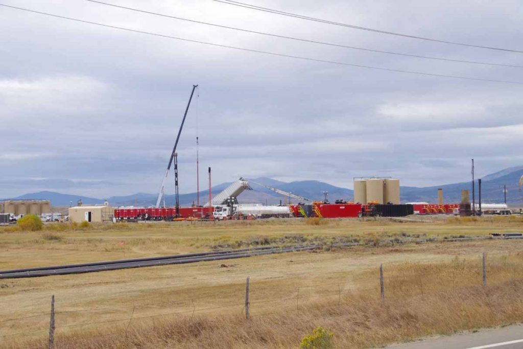
There was some energy development going on at several sites.
imgp3962
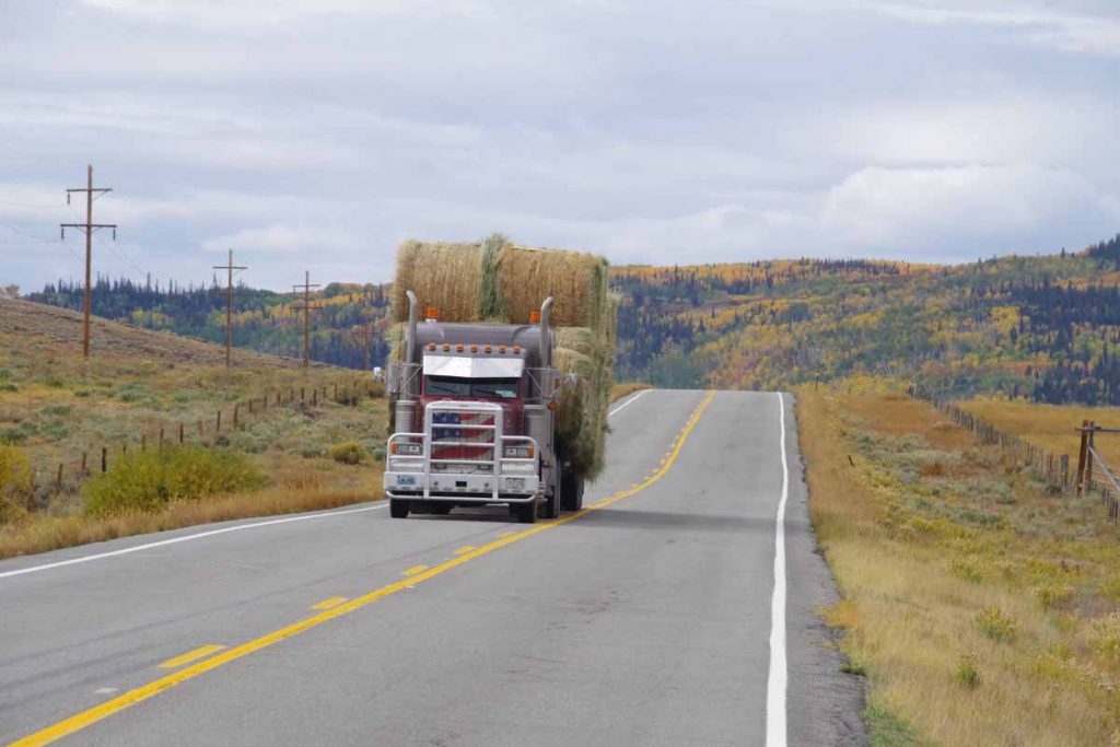
Shoulders on the road were narrow and there was some truck traffic, but all well behaved.
imgp3965
After ~22 miles the road slowly found a valley and followed gradually up to the pass. Definitely have a lot of fall colors.
imgp3966
Not far from the top, one can spot the Rabbit Ears. I wasn’t going up all the way to Rabbit Ears Pass, but instead just over a 8772 ft continental divide crossing named Muddy Creek Pass.
imgp3967
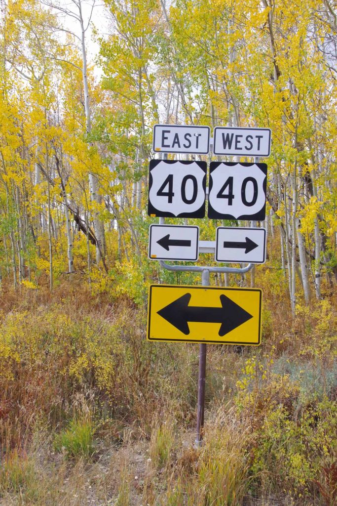
There wasn’t even a sign, so took this photo of the Highway 40 Junction instead. From this point, it was ~1300ft of descent over 27 miles down to Kremmling. Here I definitely noticed some of the wind coming from the south.
aimgp3968
Nice view coming towards Kremmling.
imgp3969
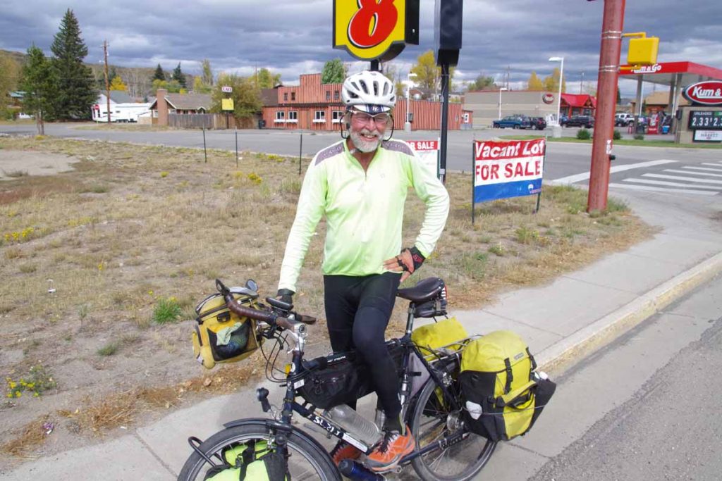
Within Kremmling, met this cross-country cyclist headed west. Also met four Great Divide Mountain bike riders on their way south. No photo because I was walking around town without my camera. They had started roughly the same time as myself in Banff and were making good progress.

Overall, nice to be riding on the cleaned and fixed hub again. The past two days were good riding made a little more difficult with headwinds but also over familiar routes.

Posted in Colorado, USA, Wyoming | Tagged moose, wind

Rawlins, Wyoming hospitality, Wyoming wind

A bicycle ride across the Americas Posted on 2016-09-12 by mev2016-09-12

Two days cycling brought me from Lander to Rawlins. Wyoming is often windy and on second day we had a front come through the might have increased that wind.
Day One
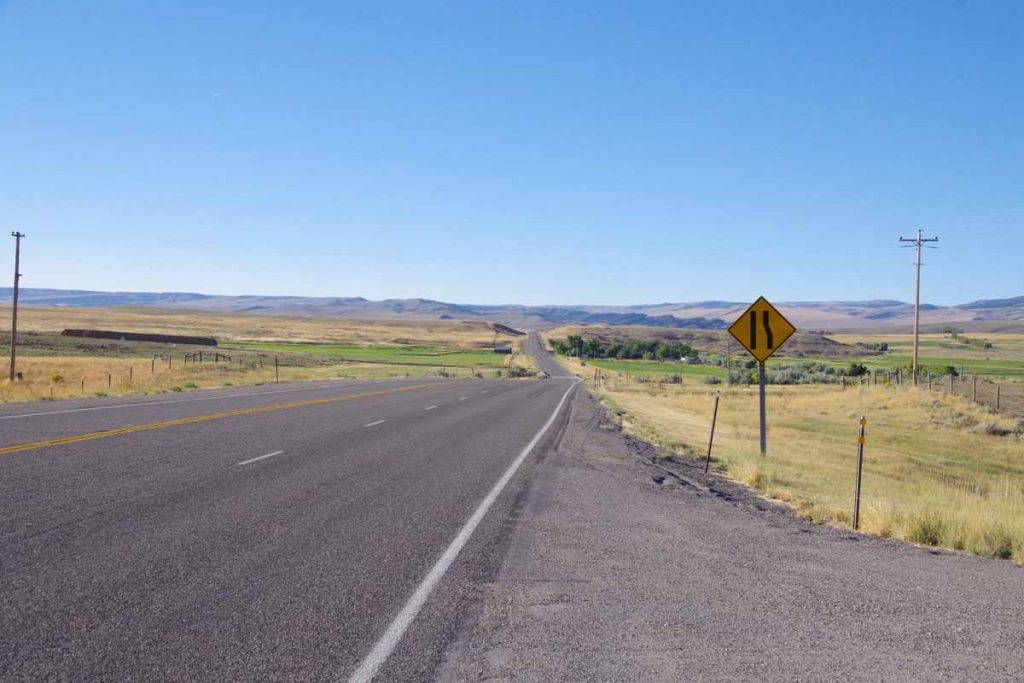
My description for the first day was “26-6-26”. This meant 26 miles of gently rolling hills, followed by a 6 mile climb, followed by 26 miles of mostly flat.
imgp3782
Riding started out well, here is an example of one of those rolling hills.
imgp3787
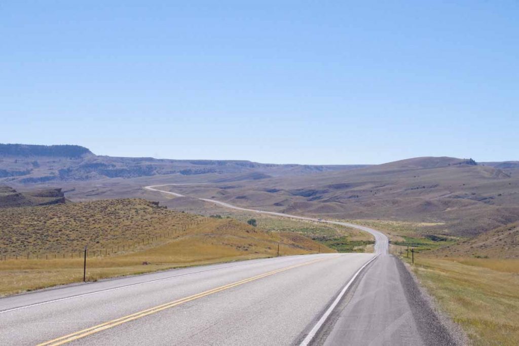
After 26 miles, I came to the base of the “Beaver Divide”. This was a steady climb that gained ~1100ft. By now, the wind was starting to pick up and during the climb there was some cross-wind as well as small bits of head wind. However, without too much trouble I slowly made my way to the top.
imgp3790
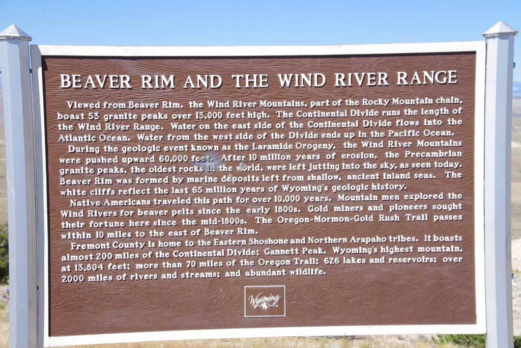
Here is the description of the Beaver Rim
imgp3791
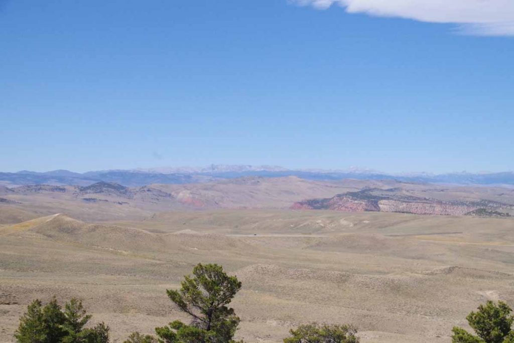
Along with the view from the top. Tough to see in the distance, but believe Togwotee Pass is off there in the distance. By now the wind had definitely picked up and it was mostly a tailwind.
imgp3794
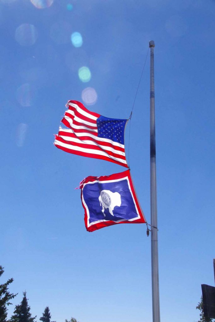
Six at 38 miles was a rest area. I ate my lunch items inside out of the wind. While I didn’t stop in (it was Sunday), there was also the Mormon Handcart historic site nearby.

From what I’ve read, (wikipedia), some of the Mormon pioneers made the journey to Utah pulling handcarts. At this location, two handcart companies encountered early snows and a number of people perished. Just cycling this route on smooth pavement, one definitely gets a sense of how difficult it must have been to have walked through this area pulling a cart.
imgp3799
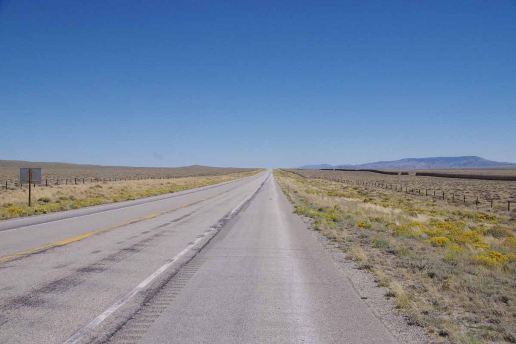
The last 20 miles were open riding with a good tailwind.
imgp3801
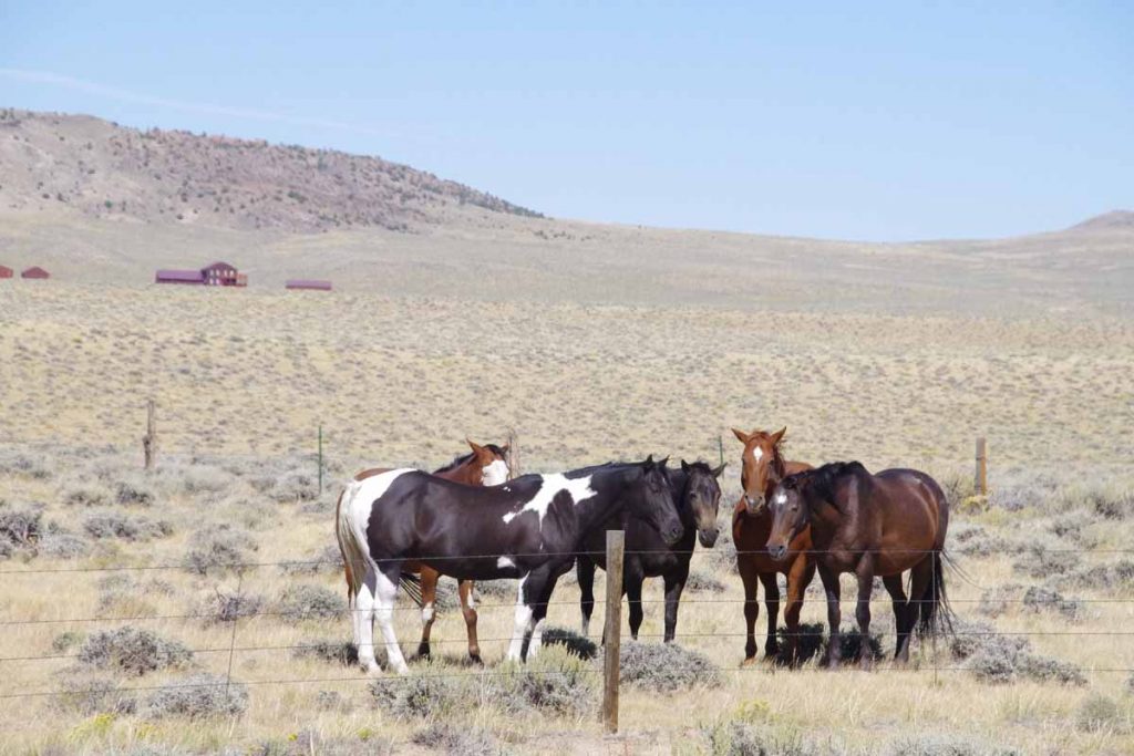
The horses seem to congregate when there is wind.

This brought me to Jeffrey City. Jeffrey City had once been a booming uranium mining town with several thousand people. About 95% of the people left and one can see some abandoned buildings from the road.
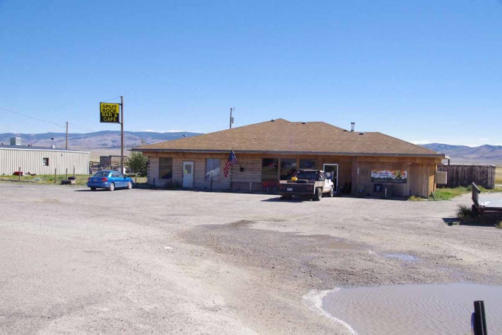
aimgp3803
The Split Rock Cafe and Bar seems to be a center of what is left. I stopped in for a late lunch.
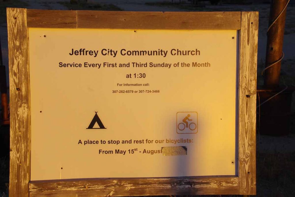
imgp3805
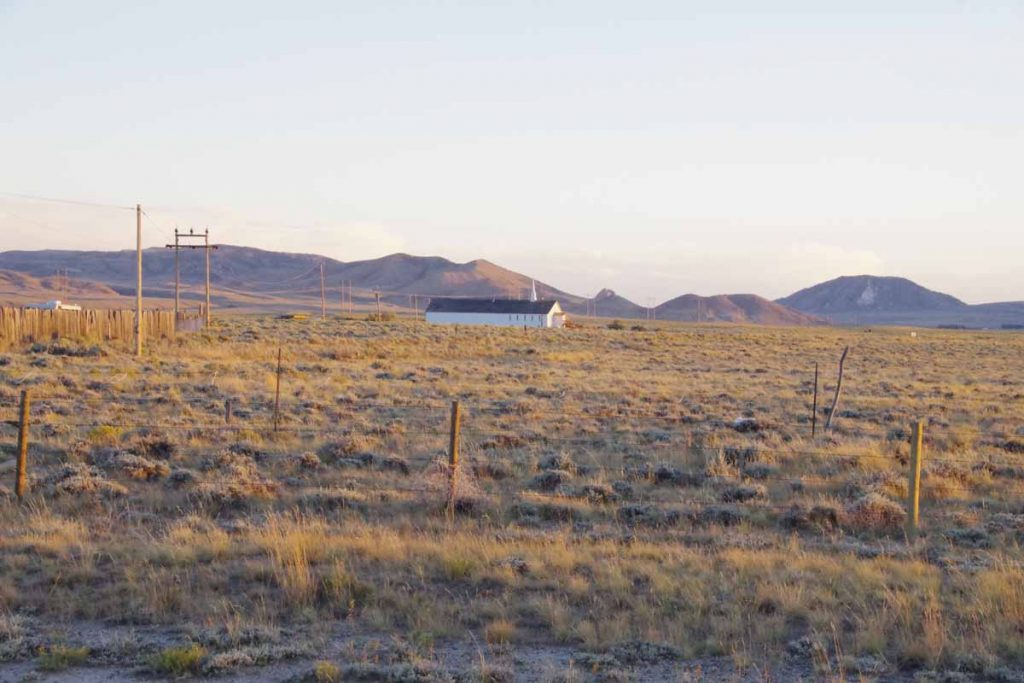
This community also has reputation of being very welcoming to cyclists. Sign above pointed to the Community Church a little ways away.
imgp3806
Both the church and the pottery building will let cyclists camp. Later in the evening I talked with the pottery dude. He had bought an old gas station some years ago for $5000 and now makes and sells pottery. He realizes he won’t see much pottery to cyclists, but still gives them cookies and has a spot on the Adventure Cycling maps offering behind his store as camping place.

He also pointed out to me that Jeffrey City had won a June Curry award from Adventure Cycling for being such a welcoming community after the local motel had shut down.
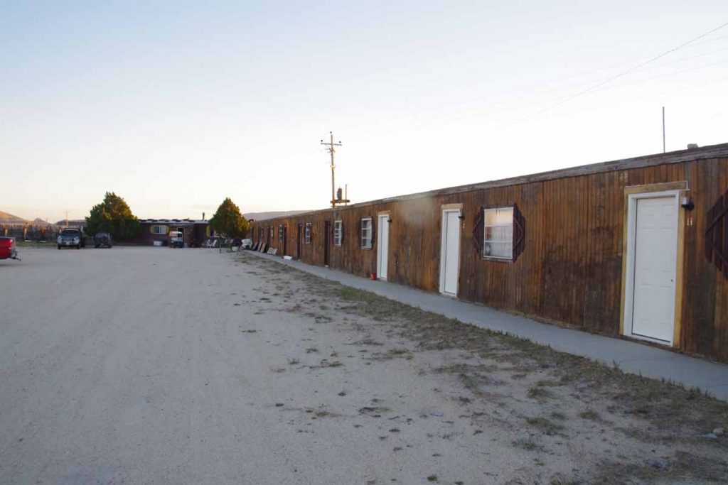
imgp3804
While the motel has reopened (and I stayed there), I definitely got a sense of welcome hanging out in the Split Rock cafe and talking with folks.
Day Two
The wind howled through the night as the front passed through. I knew it was shifting from SW (tailwind) to NE (headwind for 1st 23 miles) so somewhat concerned of how difficult the day might become. Fortunately, by 7am the wind had lessened. I had a breakfast at the Split Rock cafe and then set out into the wind.
imgp3807
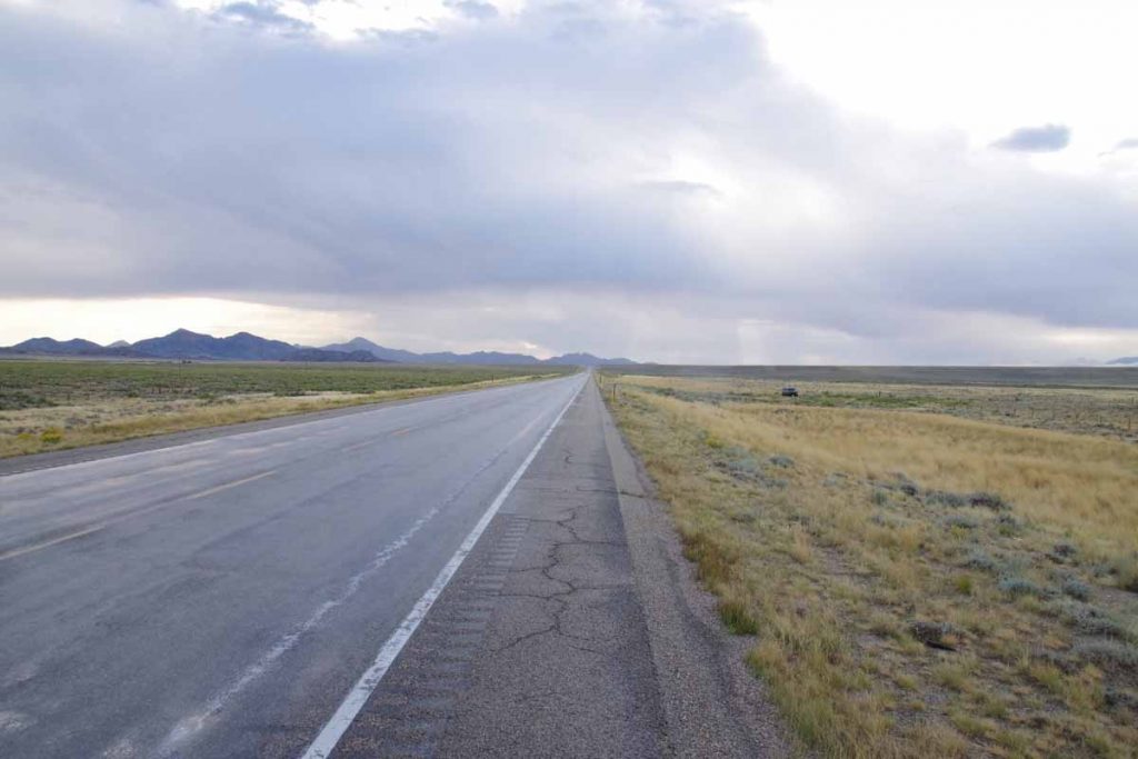
It was much colder and there were some drops of rain. This made for slow steady slog.
imgp3809
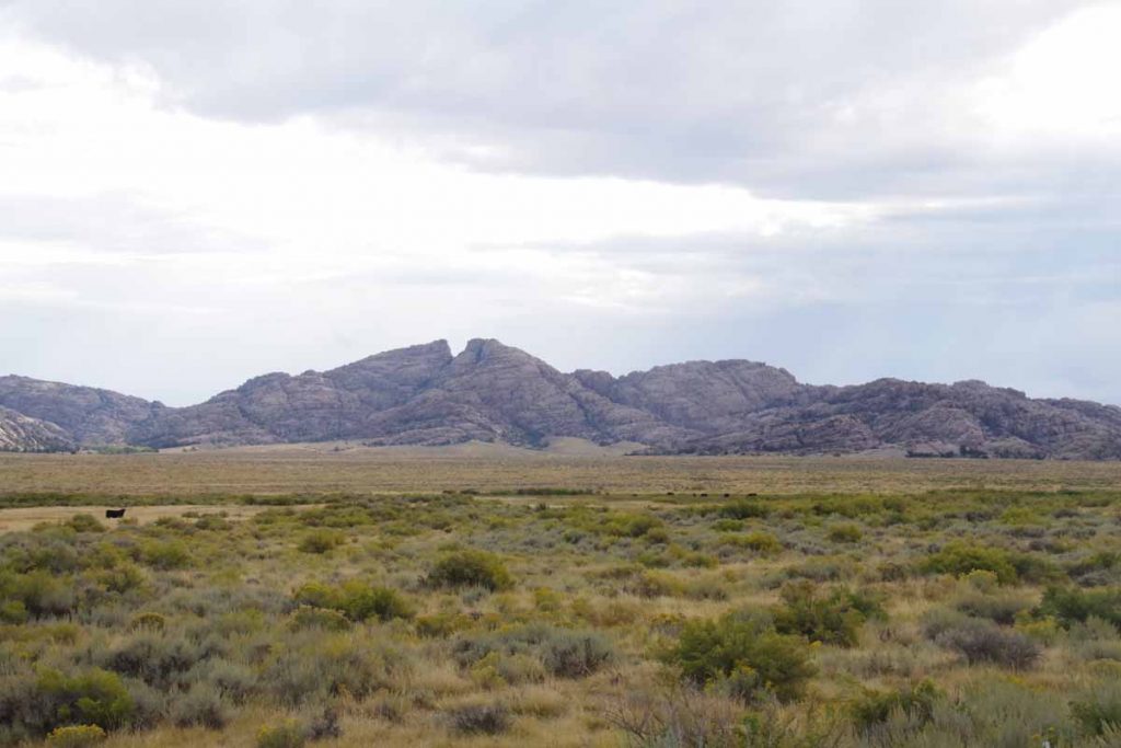
After 15 miles I came past Split Rock.
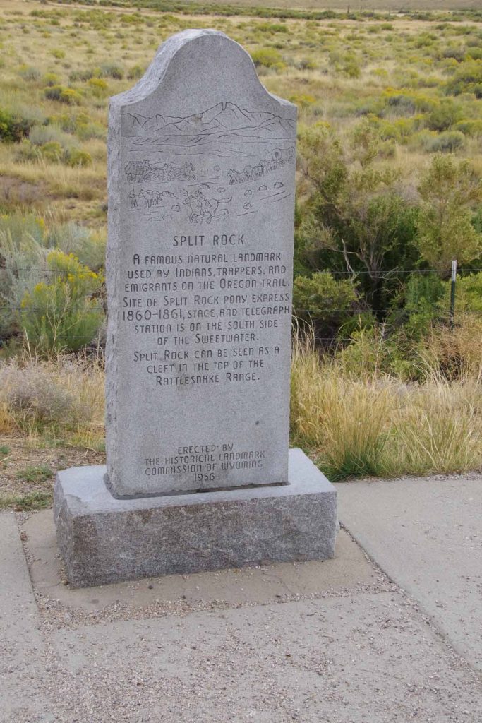
imgp3808
Here is the description.

After 23 miles, I came to the Muddy Gap junction. The temperature had dropped to ~3C (37F) and last bits had some head wind. Fortunately, it warmed up significantly from here and the road also changed to have more tail wind as I went through muddy gap.
imgp3813
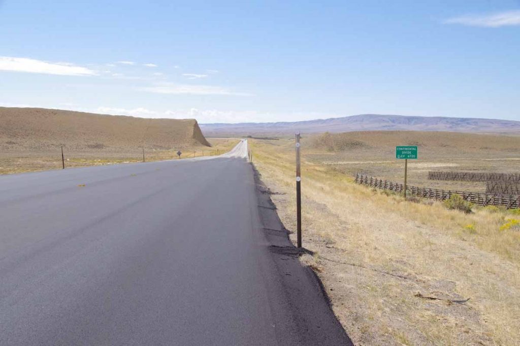
I crossed the continental divide to a region known as “Great Divide Basin”. There isn’t much precipitation or water in this basin and the water that is there evaporates rather than going to either Atlantic or Pacific.
imgp3814
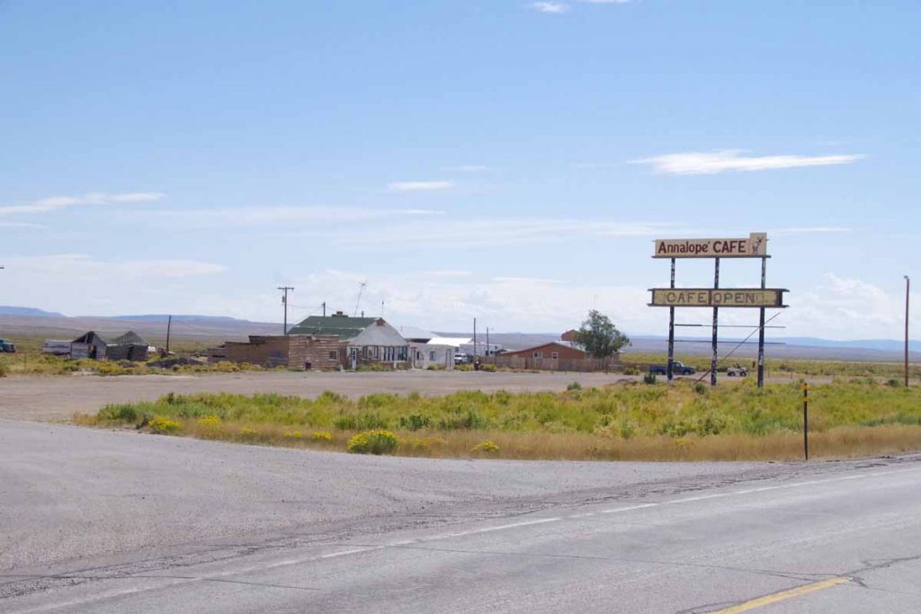
Despite the sign, the Anna-lope cafe in Lamont was not open.
imgp3817
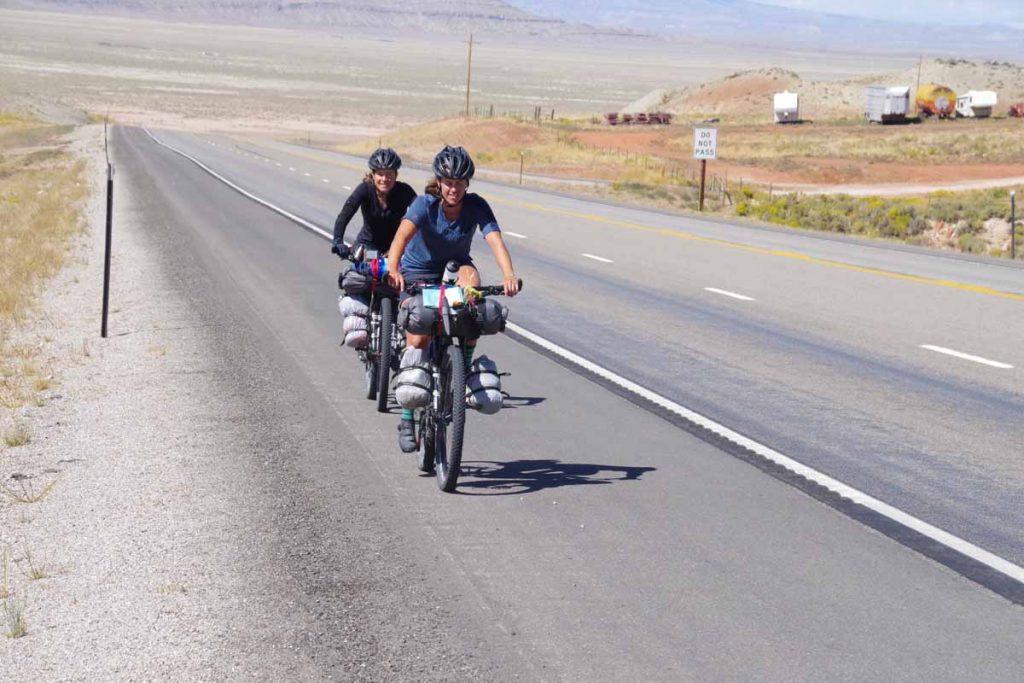
I have been following the “Transamerica Trail” which goes from Virginia to Oregon. However, the Great Divide Mountain bike route also rejoined here for last 15 miles into Rawlins. These cyclists had started August 8th in Banff and were doing the Great Divide.
imgp3818
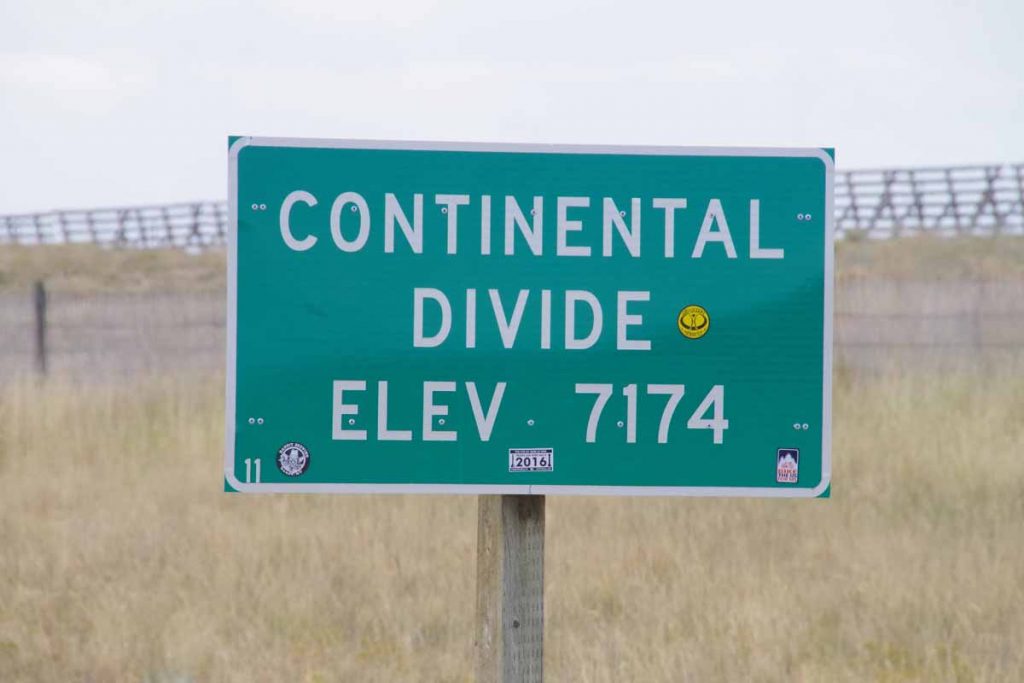
Not much later, I crossed the continental divide and left the Great Divide basin. The last miles into Rawlins were fast as they were downhill and down wind. Yeah! Overall definitely had some strong winds the past two days and also good sense of hospitality at Jeffrey City.
Posted in USA, Wyoming | Tagged June Curry, wind
©2023 - A bicycle ride across the Americas - Weaver Xtreme Theme
↑