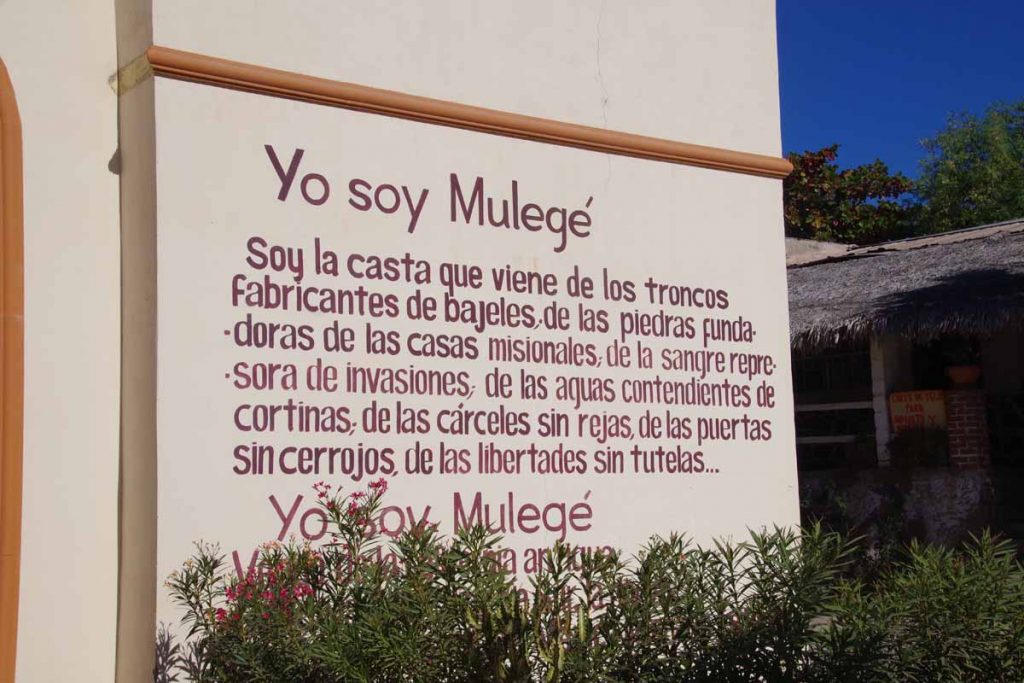
Today an easy ride to nice small town of Mulege. I had a destination of ~100km in mind and figured I would wait to see if I split it into two days. Town of Mulege was inviting enough, so decided to stay.
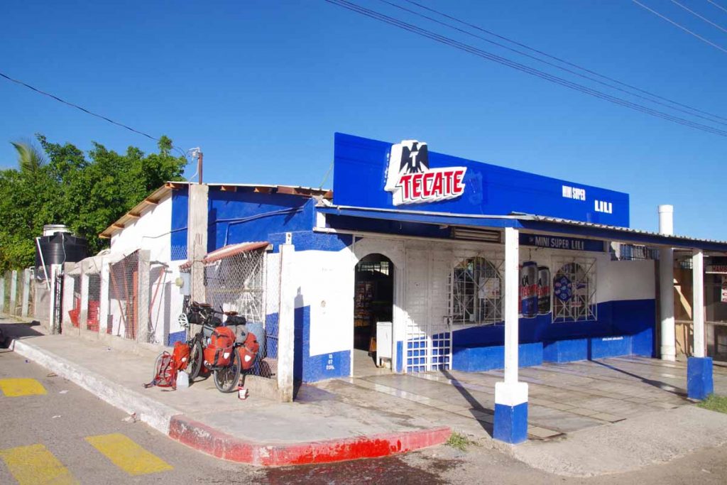
Another beautiful sunny day and fortunately road surfaces became better again after leaving Santa Rosalia. At 12km, I stopped at the mini-super “Lili” which had a surprising variety of food.
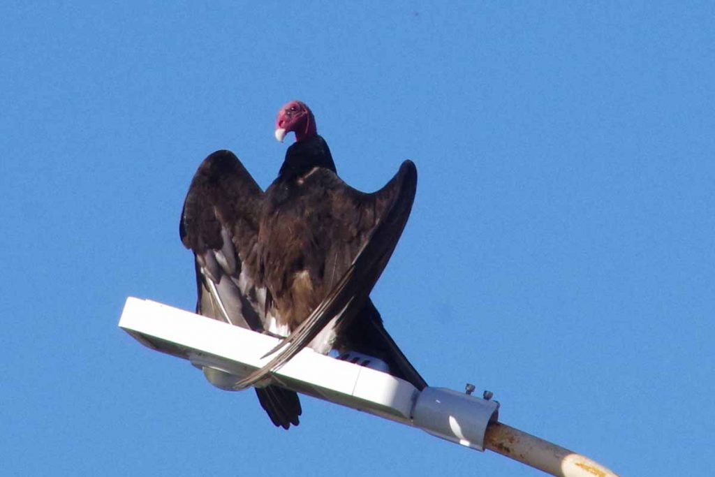
Not too far away, this vulture was out on a street pole.
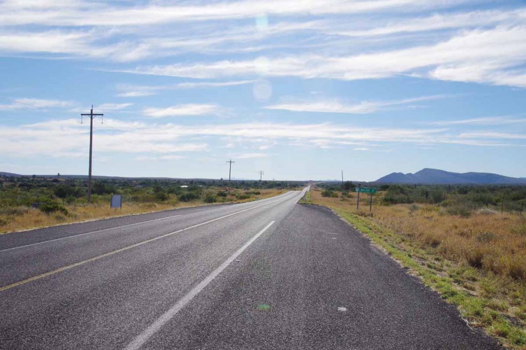
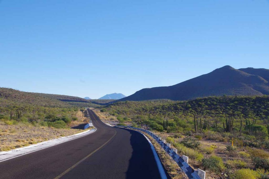
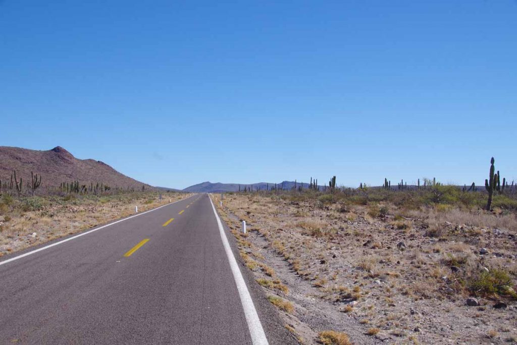
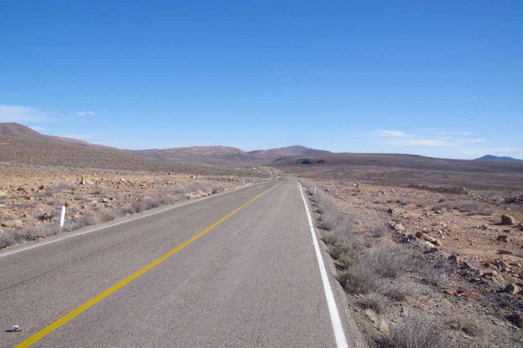
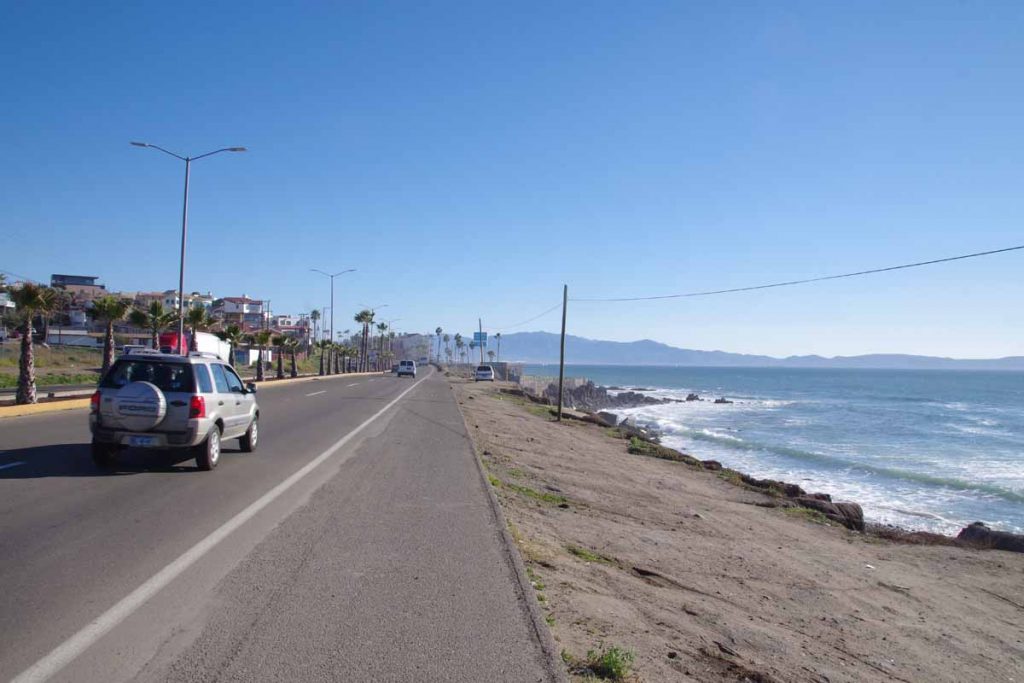
The route left the coast over a low hill and then was mostly inland and fairly flat. I saw the ocean for 1st 15km and not after that. Still narrow road but also not too much traffic.
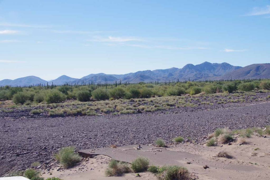
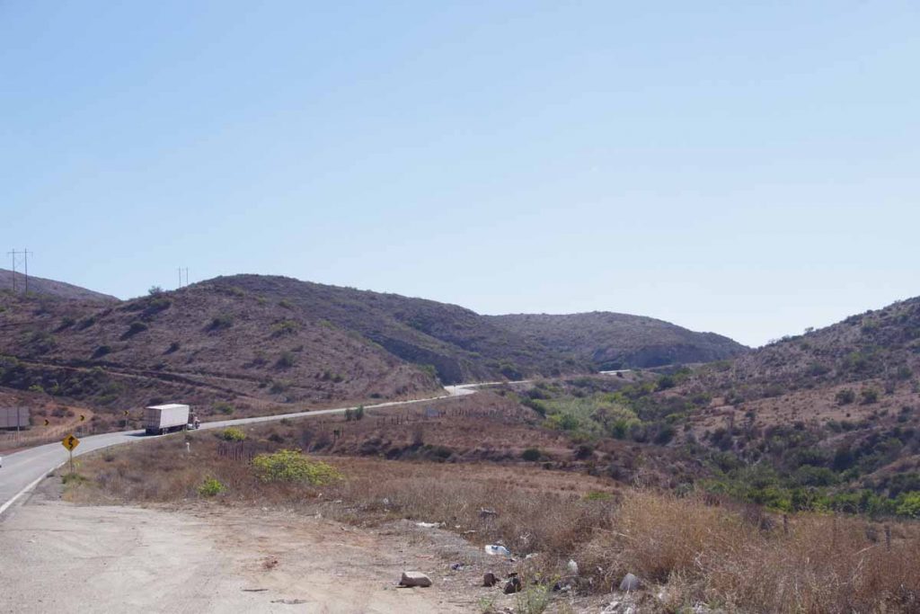
I crossed some larger dry river beds on newly constructed bridges. This photo looking down at the old road, shows that in many spots that old road was completely gone where it crossed the river beds. This area seems to have been hit by hurricanes in 2014 and 2016 as well as earlier years, so when it rains apparently it can really pour.
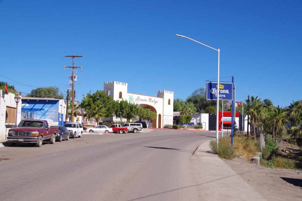
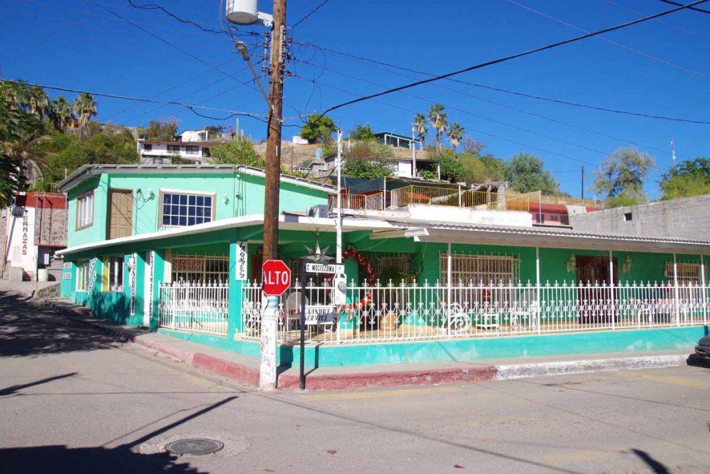
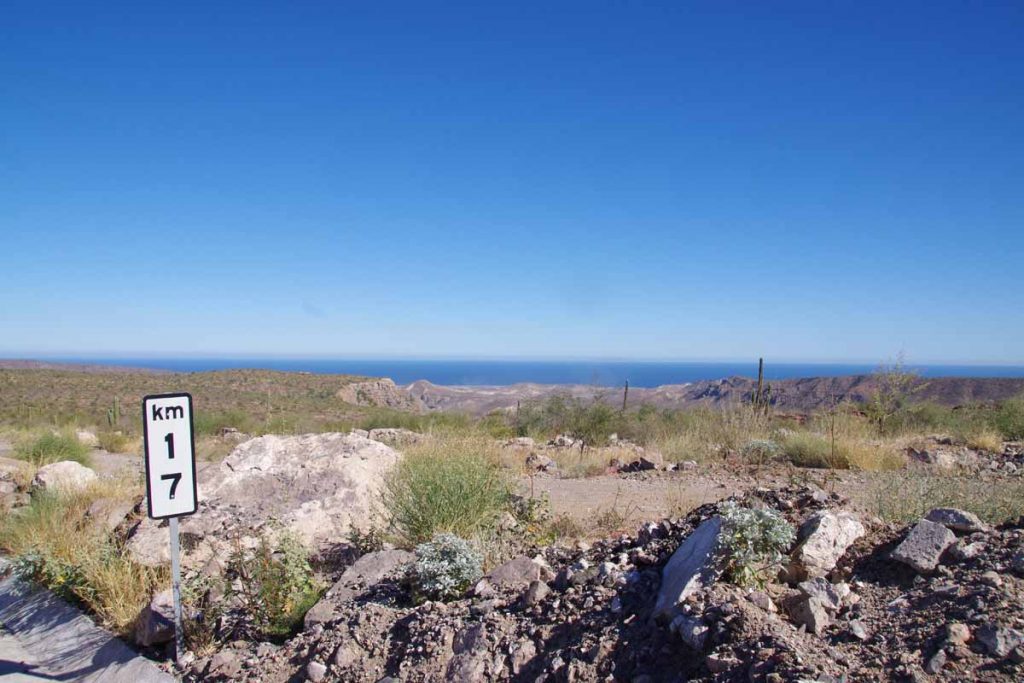
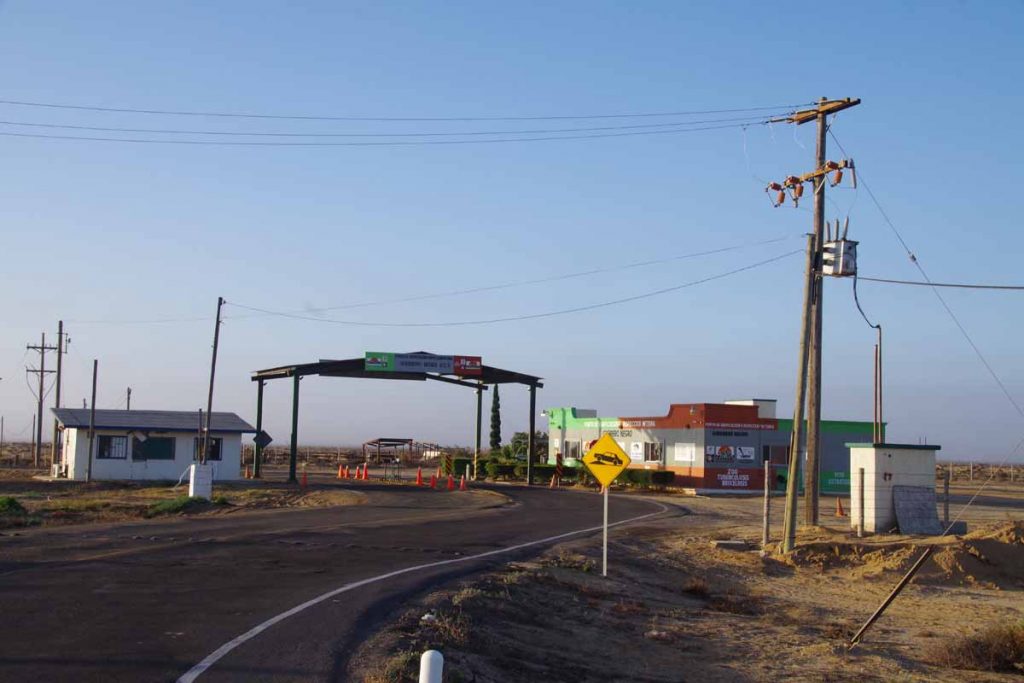
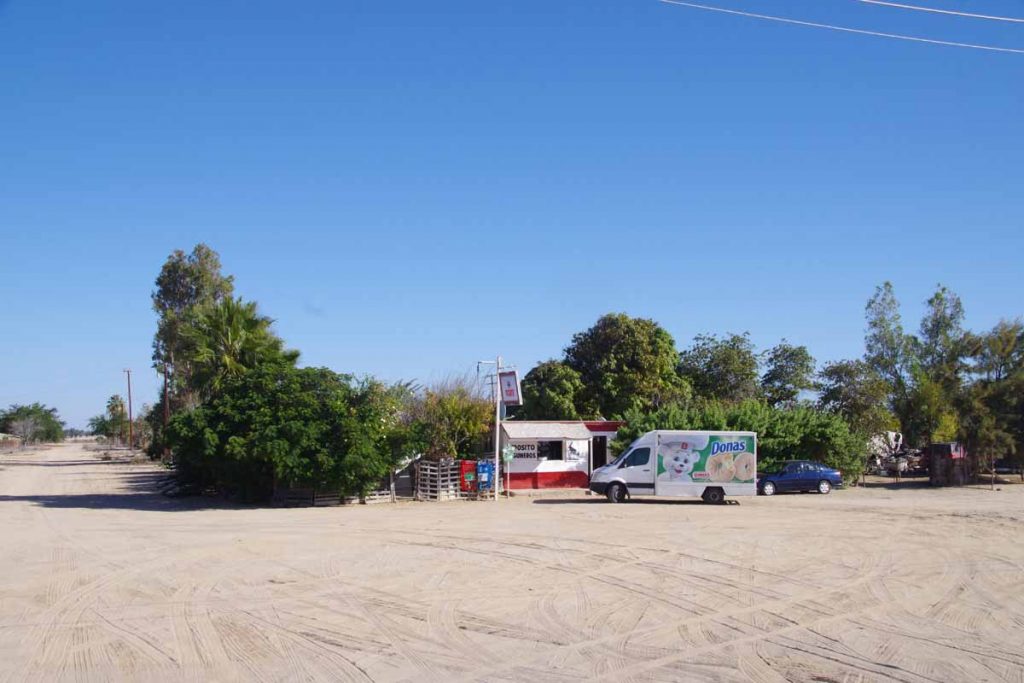
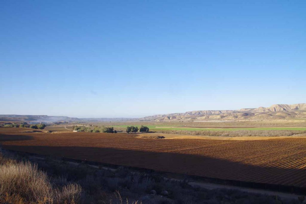
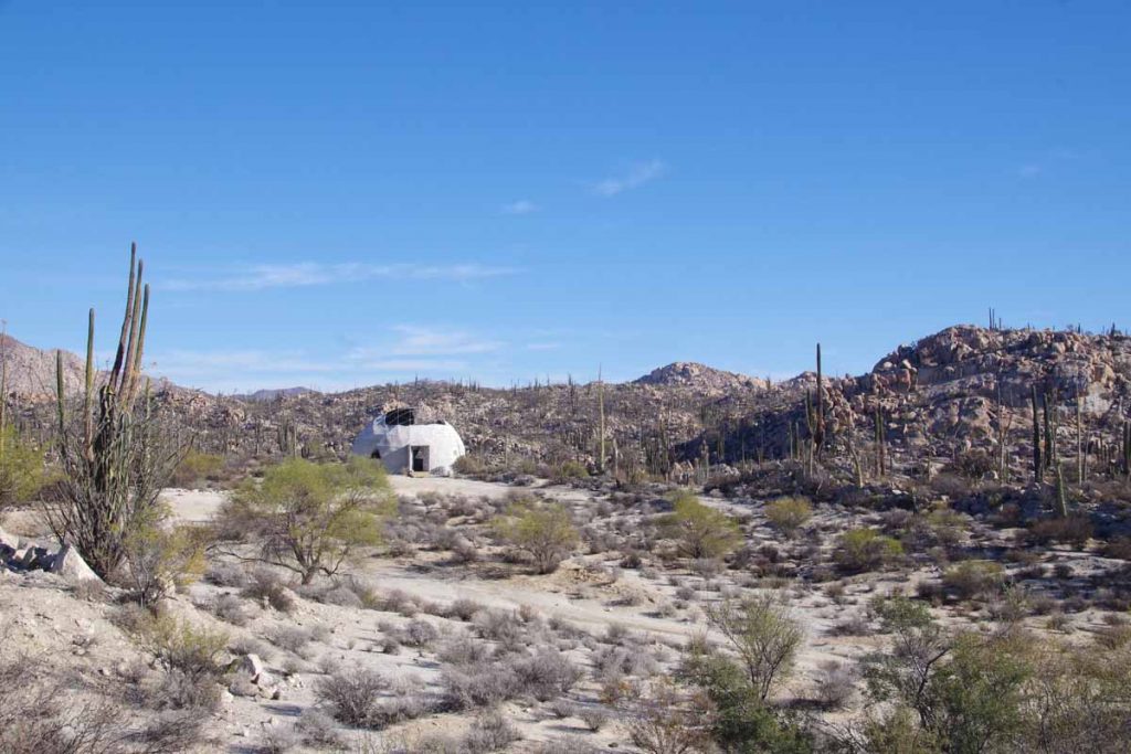
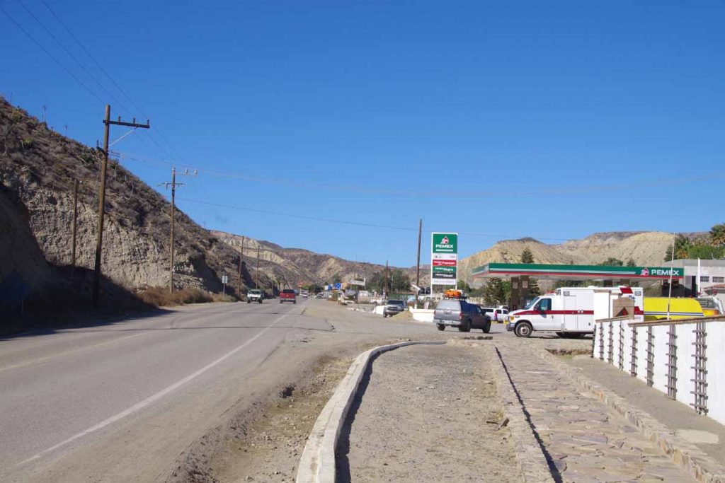
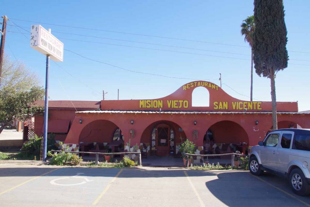
I climbed up a low ridge at 55km and then descended down into Mulege. Photo above showed the entrance to the town.
It had chance to brush up on my Spanish.
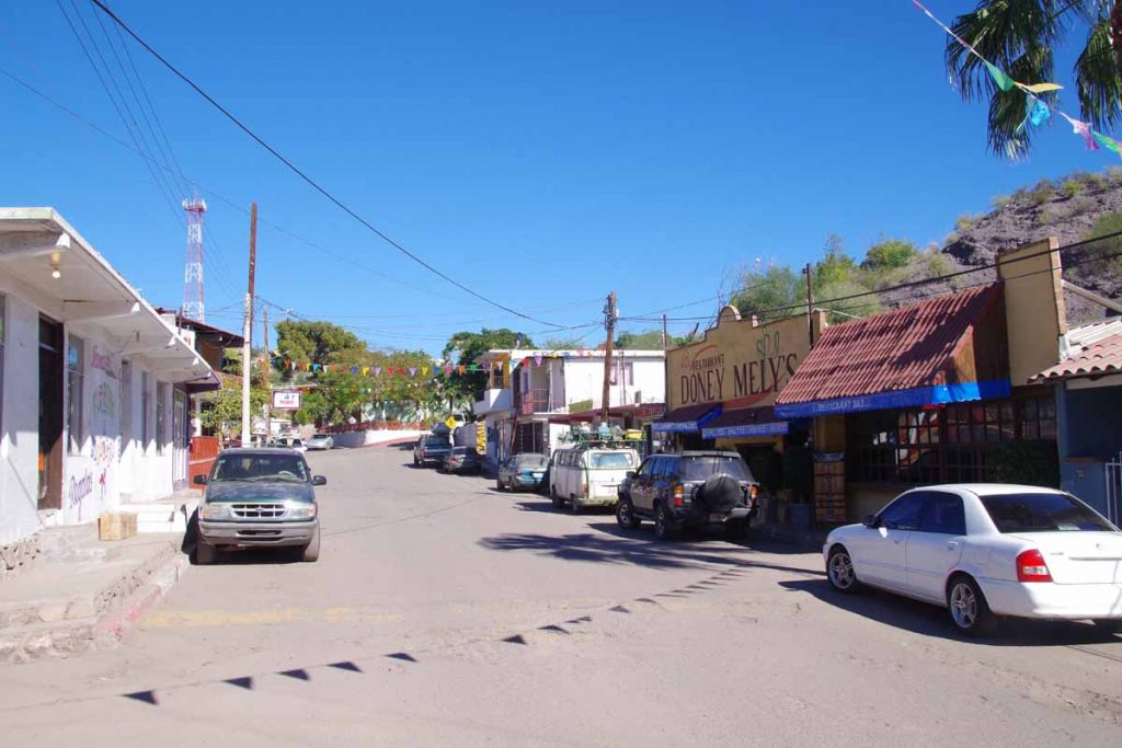
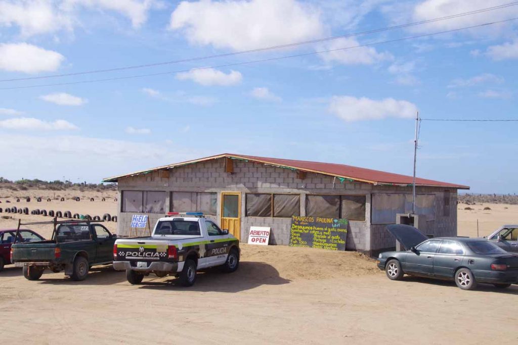
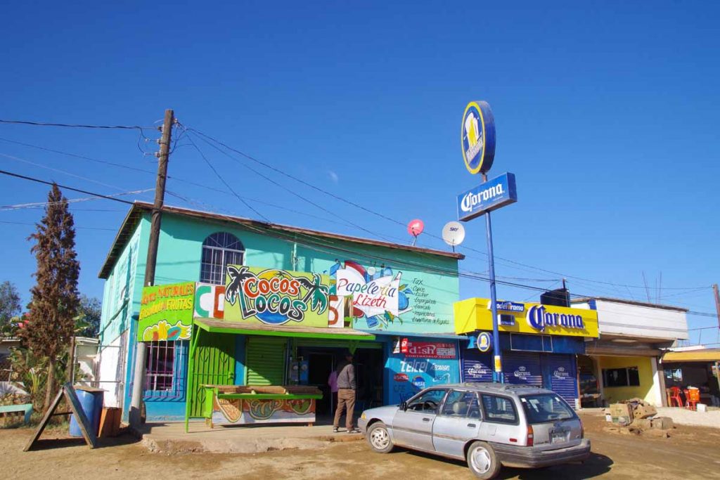
While it was still early, the town had nice inviting little street and decided to stop here for the day.
The laundry service was closed, but washed a few items by hand.
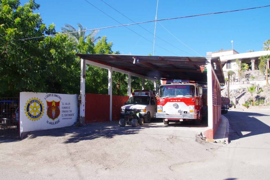
There is a little fire station.
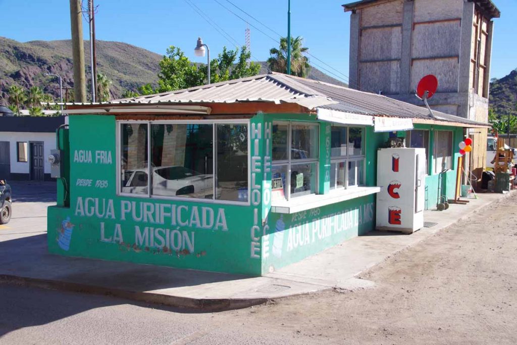
Mulege and other places also have these little places to fill up on purified water. I haven’t used one yet (mostly filtered my own water) but seems handly. Overall a pleasant ride today and chance to wander around through this town.
Category Archives: Mexico
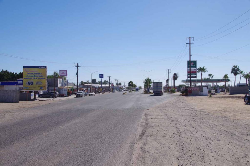
Santa Rosalia
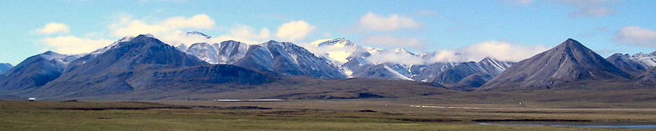
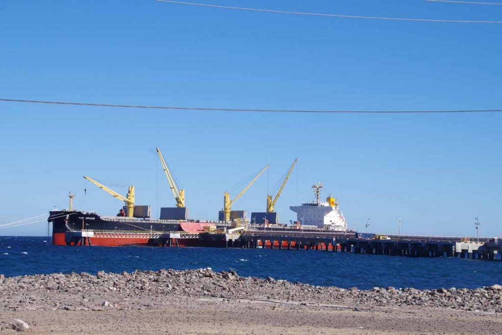
Made it to the Sea of Cortez and also passed 1000km mark since I restarted in San Diego.
Today was a pleasant ride and one I rode with another cyclist for a little over half the distance. San Ignacio looks like a nice little town nestled into a valley. It was a few km more riding before I was heading up for the first larger hill to climb. It was steep in a few bits, but nothing too bad. No much further was a small loncheria “Datil” where I stopped for a coke.
Not many kilometers ahead I thought I spotted something on the road. Could it be another cyclist? Not sure and I was actually slowly gaining. I met up with Corine, a US cyclist who had been heading southbound along Baja Peninsula. Nice to ride with someone else for a change and over the next 40+km we cycled together. Over the next 30km, the route slowly climbed from ~250m to over ~500m all the while getting closer to large imposing Volcan las Tres Virgenes. Just before the 40km mark we crested a local summit and had a short descent back and then mostly level again. Fortunately, much less wind today than yesterday.
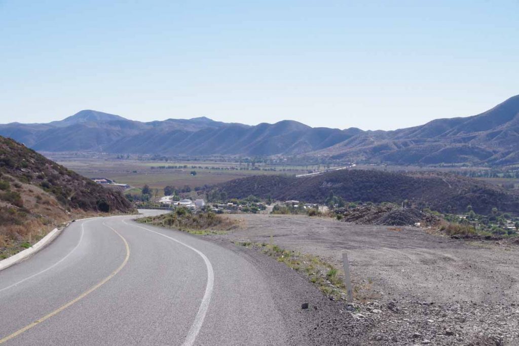
At the 57km mark we could see the Sea of Cortez below! Told Corine to go ahead since I’m slow on descents and she was planning on riding further. The descent itself had a few steeper sections but within 3km had lost most of the elevation and then over a few hills and to the coast.
There were some large mineral extraction areas here and the road was surprisingly beat up in this section.
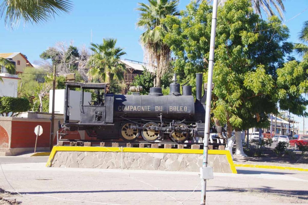
Without much difficulty made my way through the town where this railway engine was posted and then found a place to stay a little past the center in the south. Overall, a moderate amount of climbing today but nice to share the long gradual climb with another cyclist and also nice to have reached the Sea of Cortez.
San Ignacio
Easy start and a windy tougher finish.
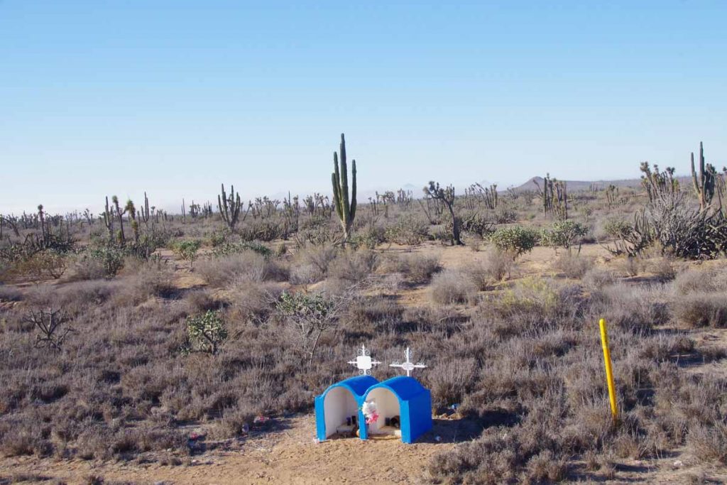
Road started flat through dry regions. Occasional bits of agriculture but mostly dry cactus and scrub. I had left not long after sunrise in part to get early if the wind kicked up. Photo above shows another of those local memorials.
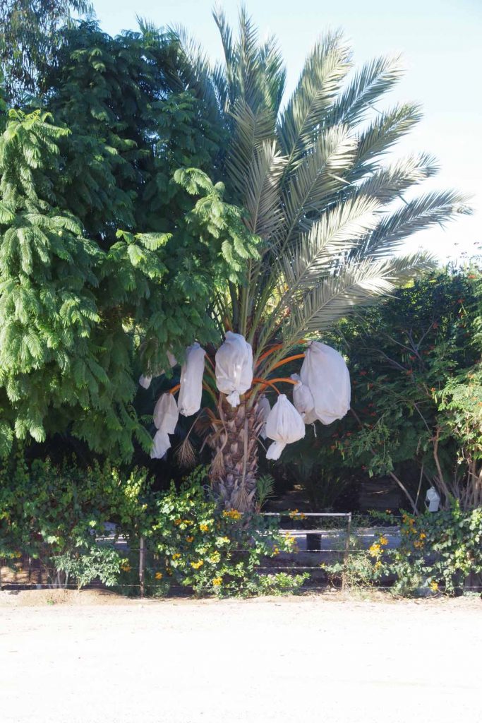
Photo looks like they might be protecting the fruit.
After 36km started a very gentle climb to a mesa and then after less flat and a lot more little hills including an occasional quick dip but then a 6-8% climb on the other end. Despite the people in the photo, I think this restaurant was actually closed.
Several longer climbs and as I crested on near 60km, suddenly the wind picked up. First gently but with surprising strength after that. I was fortunate that San Ignacio was less then 10km away since wind was making it a lot more difficult.

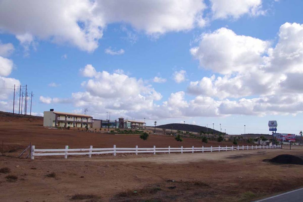
Saw this sign for bicycle camping, though also saw a nice motel that offered chance to get out of the wind. San Ignacio has several road-side businesses including this one, but town is in a little valley a little bit ahead and off to the south.
El Marasal
Todays location also seems to have name Vizcaino, though that name also seems to apply to a broader region.
Today turned out to be a nice easy ride, flat and not much wind. I had expected flat terrain but wild card was whether head winds might pick up. I started with good breakfast in the hotel and was on the road shortly thereafter. I had stayed at hotel outside Guerrero Negro so first passed under an arch welcoming to Baja California Sur.
The agricultural station was shortly thereafter.
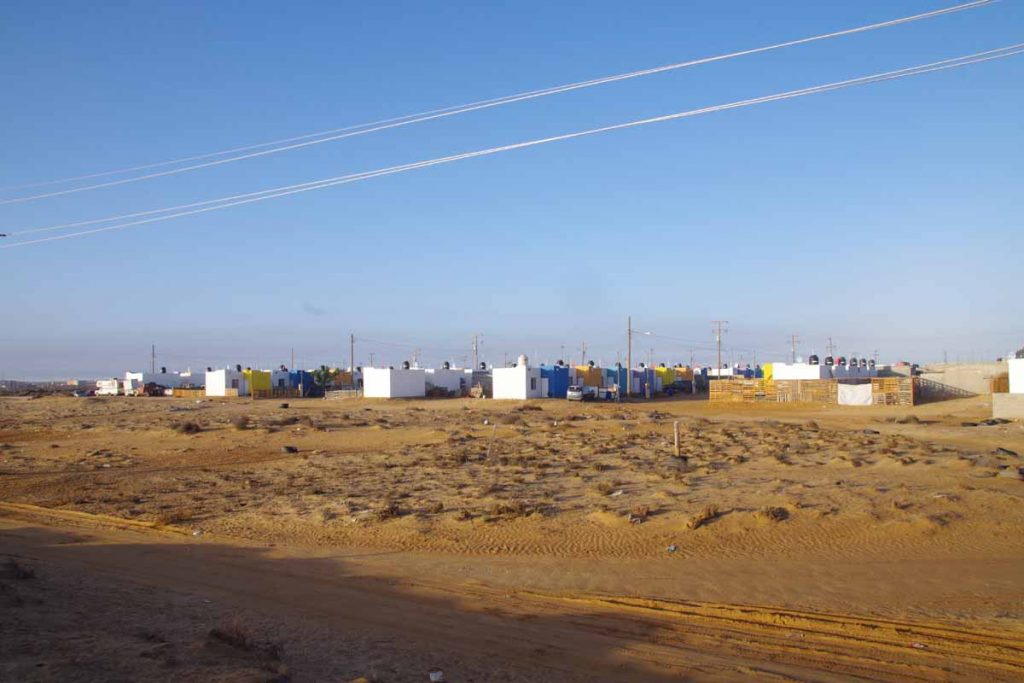
Here are few houses from Guerrero Negro. Notice how each one has its own water tank on the roof. I’ve seen one or two tank trucks but am surprised there aren’t more. This is very dry region, so I don’t expect them to catch much rainwater.
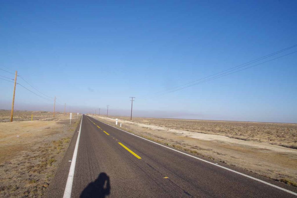
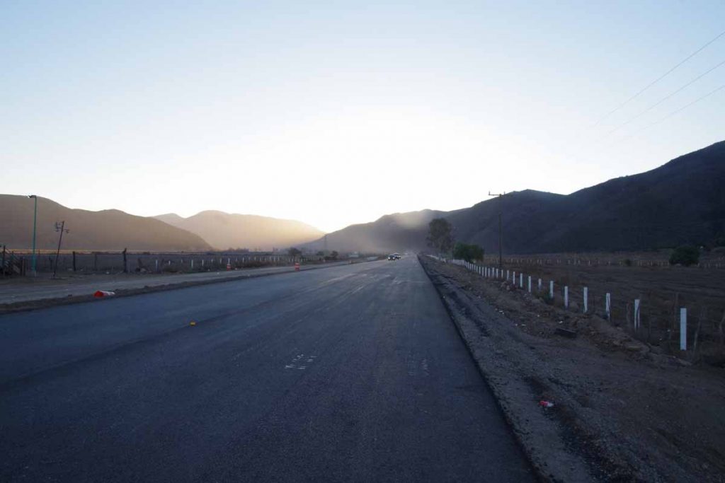
After Guerrero Negro, the road became very flat and open. This is taken looking backwards with the sun. Felt like a “training ride” as mostly pedaling on flat terrain as the kilometers passed.
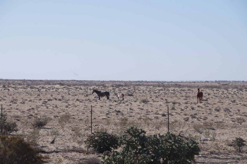
I did see a few horses and one cow. There was an occasional house along the way and signs for small roads leading off the main highway.
At 40km was this small store by a few more houses. Nice place to stop and get a quick snack. After this several cyclists passed including the two American cyclists from yesterday. I also cycled for short bit with a German cyclist who started in Anchorage, rode up to Fairbanks and is heading southbound eventually also through Central America and eventually South America. He was riding with a second German cyclist and had met along the way.
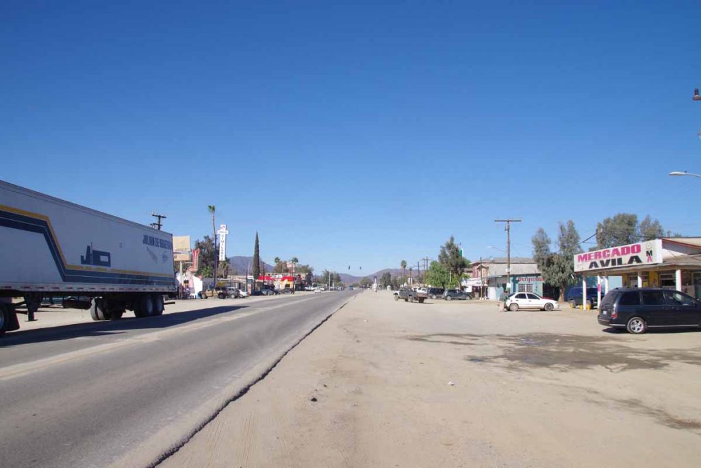
At 76km I came to small town of Vizcaino. It was still early but a bit too far to San Ignacio in a single day and so otherwise nice place to stop. I wandered through town after that to get bite to eat and see some shops.
Guerrero Negro, through the Valle de los Cirios
Four days of riding through desierto central has brought me to Guerrero Negro. It was remote, but not as isolated as I expected with many small places along the way and some good spots to camp. The road was narrow but overall in good condition and not much traffic.
Day One
A climb from El Rosario and into the desert. Overall, I climbed a net of 600m and my odometer gave a total of 1300m. Most of that initial climbing was in the first 35km and then rolling hills after that.
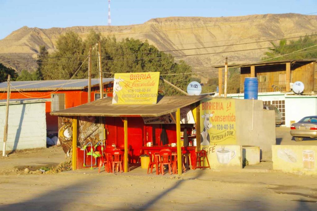
Left at sunrise when El Rosario was mostly asleep on a Sunday morning. A few places like the birria above was starting to stir.
The first 8km followed the valley and were mostly flat. Above is one last photo looking at this agricultural valley after I crossed a bridge and before starting the climb. After this point there were multiple spots where one would fairly steeply climb 100m and then level off or roll a bit before encountering the next climb. Fortunately, it didn’t get much over 20C (68F) since this climb would be tougher in summer heat without shade.
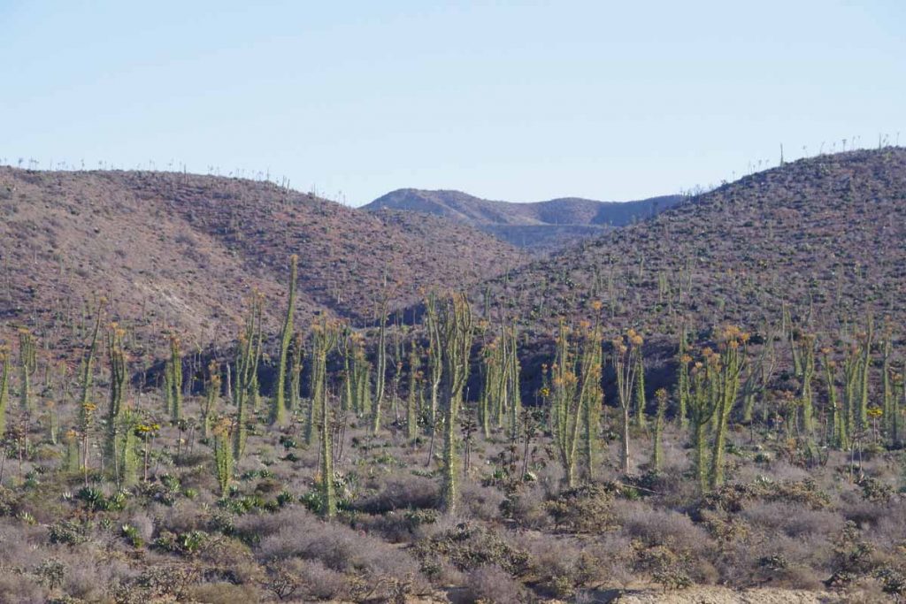
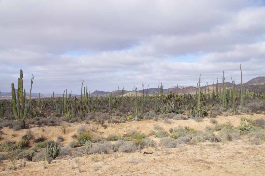
After ~15km I started seeing some of these giant cirios cacti. The photo doesn’t give a full account of the scale but they are ~10-15m tall (33-48ft) and dwarf those shrub bushes beside them. I kept climbing to reach local summit near 35km. Phew!
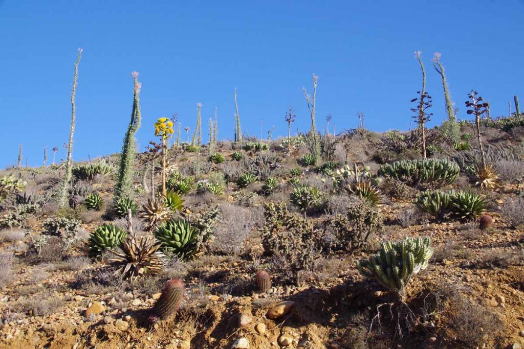
Along the way, continued to see a nice array of cacti, particularly in the more sheltered areas.
At 46km was the first “loncheria” or place to refill on water and perhaps get a snack. Mostly at the first one I was happy to have an excuse to get off the bike, sit and take a short rest. There was another one at 51km, but no need to stop again. A third one at 63km was deserted and closed.
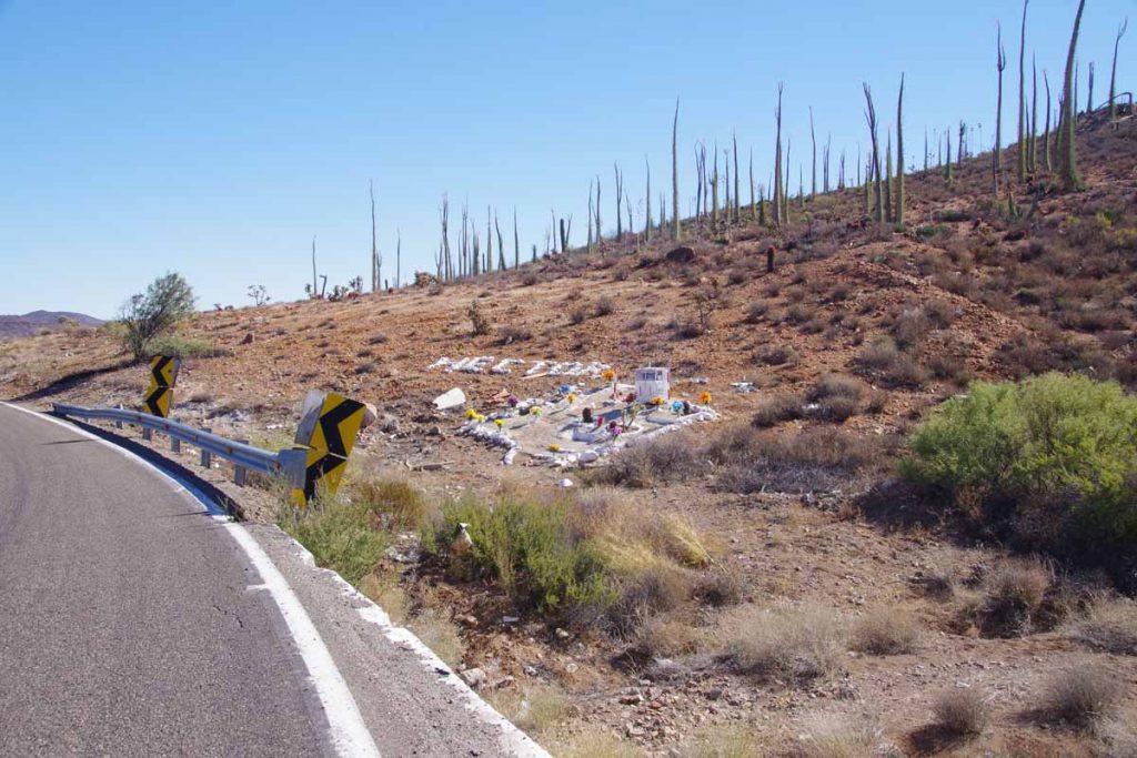
Not far from here was a photo I named “Hector missed the turn”. All the signs were present: (a) a curvy road (b) a missing guardrail (c) debris below and (d) an elaborate memorial with Hector’s name in painted rocks.
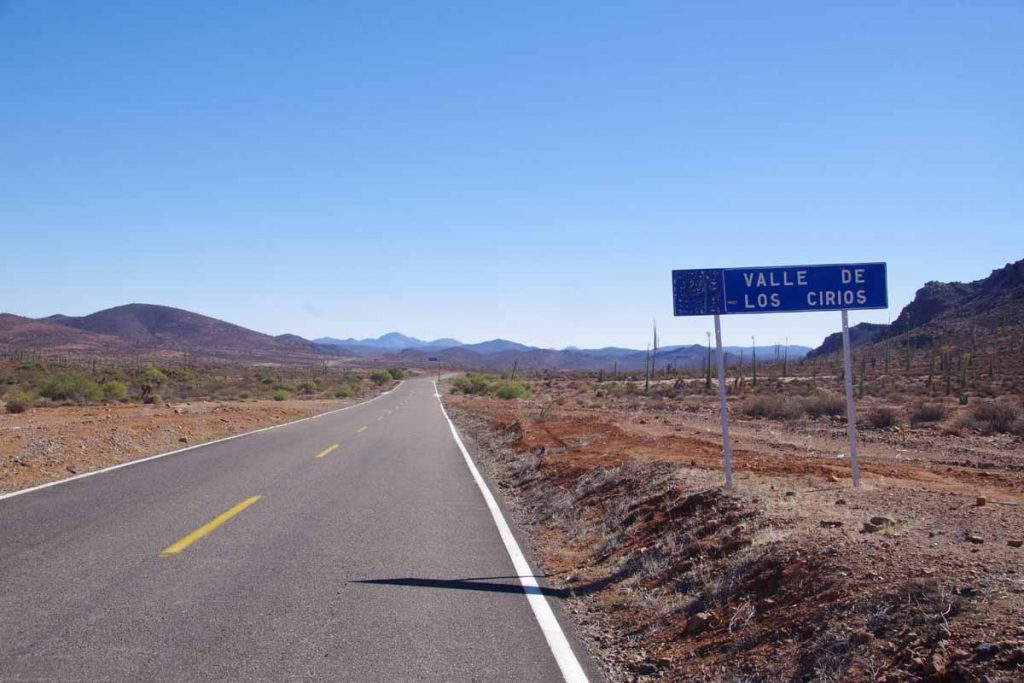
As I got higher, I got to a more open area and slowed as started going into more of a headwind. Just about the right time a loncheria appeared. I stopped and had two burritos. Not sure what to expect, but these are small snack burritos with a rolled tortilla and a little filling. Also here I crossed the 30 degree parallel and more formally came across “Valle Los Cirios” natural preserve area.
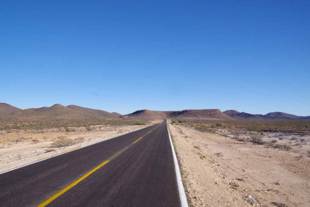
Another photo of the long open areas.
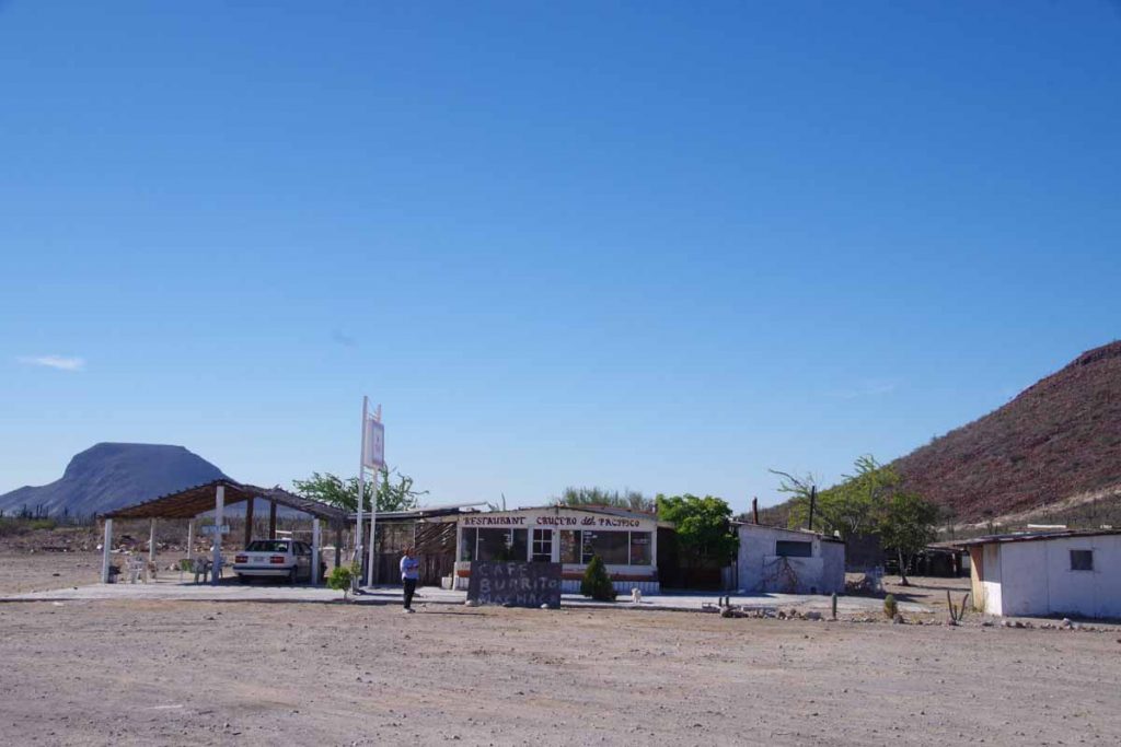
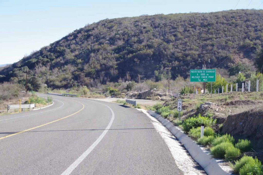
Fortunately at 87km, my end destination appeared: San Agustin. There was a small café here (more little burritos) and a military checkpoint. The café also advertised RV Park. I was only one there and it was a quiet night.
Day Two
My thermarest sprung a leak last night. It was flat at midnight and again at 2am. I have a patch kit but I’ll need to find the hole first. Other than that, today was generally an easier ride with fewer hills to climb and only about half the total elevation.
It was a pretty morning and I cooked some soup on the stove in early morning just before sunrise. There was a gentle climb for the first 15km and then as I crested the hill I saw more rocks mixed together with cacti. Photo above wasn’t far from Catavina a small settlement I reached just past 9am. There was also a small store here and three motels. While it was tempting to stay, the timing wasn’t right so after a stop at the store, I was on the way again.
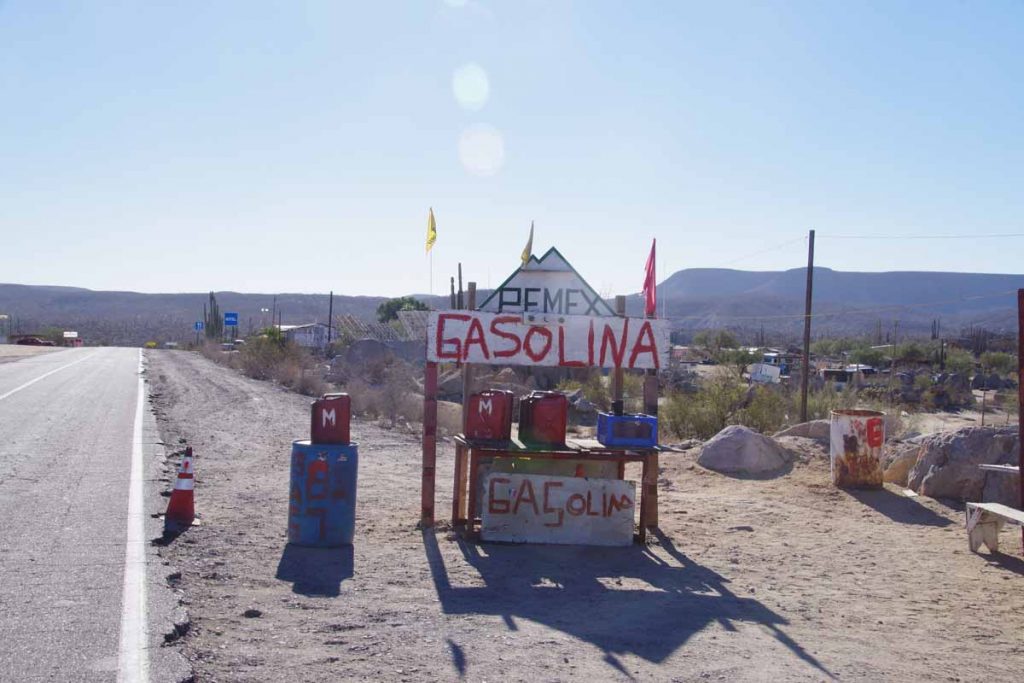
While not a formal gas station, these guys are willing to sell you some gas if you are running short.
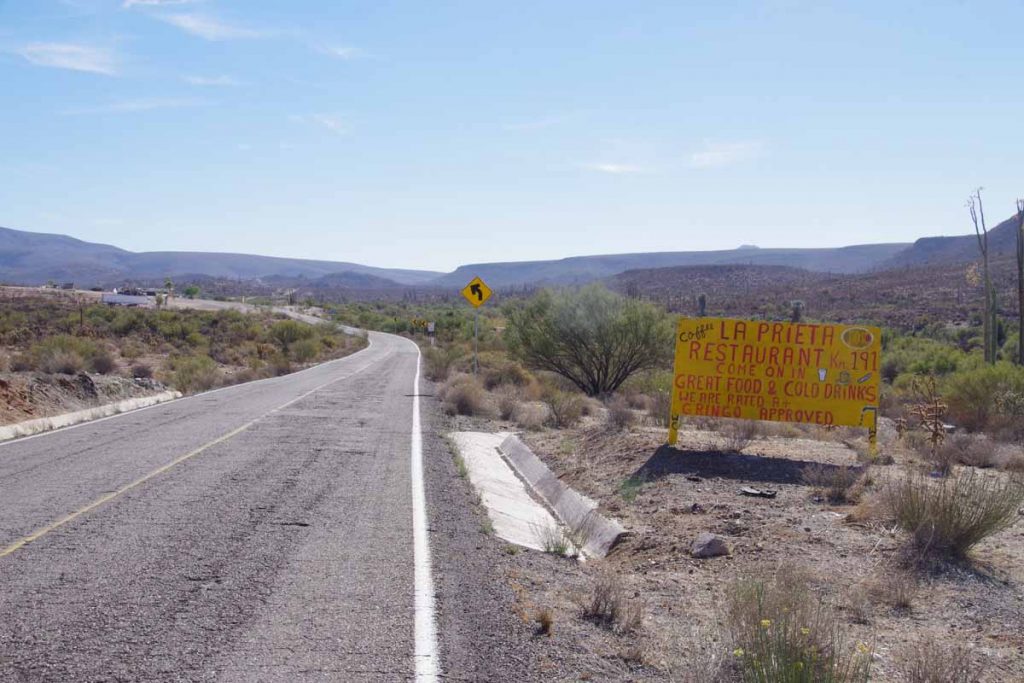
At 46km this sign beaconed as an excuse to a breakfast stop.
Two bikes outside and I met a couple from France who were also cycling Baja. They were going to try for similar destination today (Chapala), though I didn’t see them later (apparently they likely stayed 500m before the loncheria as I heard later).

After an omlet brunch, the road continued a more substantial climb. It also passed another closed loncheria. Reached a local high point.
After this the views were more open and also fewer plants. Without too much difficulty, I reached Rancho Chapala at 3pm and so had more than an hour before sunset. Had dinner in the café (more little burritos and later a quesadias). They let me camp behind the loncheria and fortunately a place sheltered from the wind. At night a generator was used to power the lights and when this stopped around 9:30pm, became very quiet and with beautiful view of stars and milky way.
Day Three
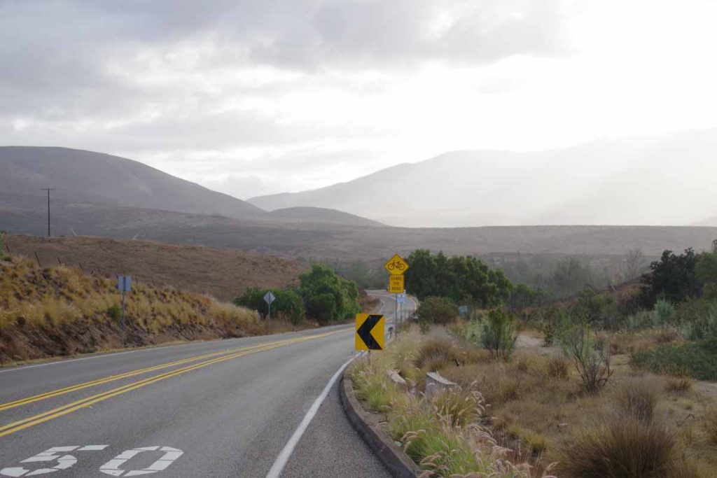
The wind continued throughout the night. My tent was sheltered but I could hear it creaking in the trees. Started to become concerned if might be enough wind to make cycling difficult. However, decided I’d start out and worst-came-to-worst, could always turn back.
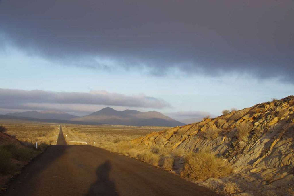
Compared to what I feared, the wind was much better today. Above is a photo from 4km looking back towards Rancho Chapala. I believe this is a bit of an open bowl valley and so might be normally a more windy spot. Not to say there wasn’t some wind today but not as bad as expected.
The first 48km was through open country with some areas with nice cacti and also some long stretches to ride. I had camped at ~700m and overall there was a gradual descent through the morning to ~200m so that helped keep speeds up. The winds were mostly cross winds.
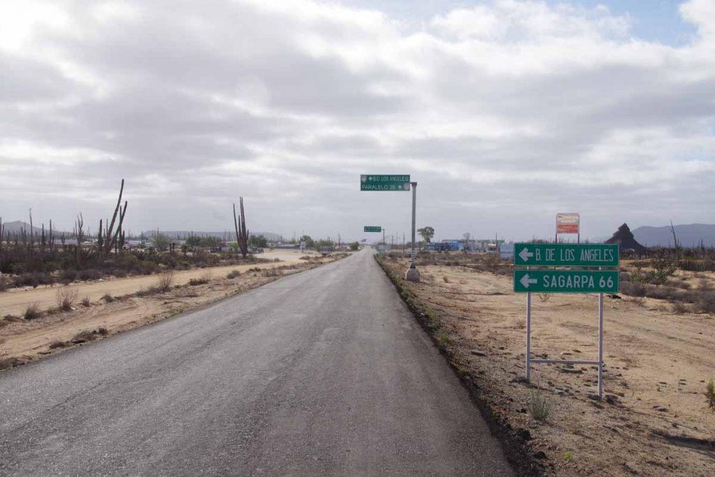
At 48km I came to what looked like it could be a big intersection of road to Bahai Los Angeles. There wasn’t much here, other than a junk yard, a police building, a small store and loncheria (didn’t bother to check if it was open). The road surface became slightly better here, though still narrow. Not that there was much more traffic.
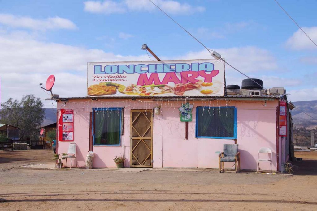
At 62km was Loncheria Mary. Great place to stop for food. I ordered breakfast omlet but it also came with beans and tortillas. They said they had wifi, but couldn’t connect.
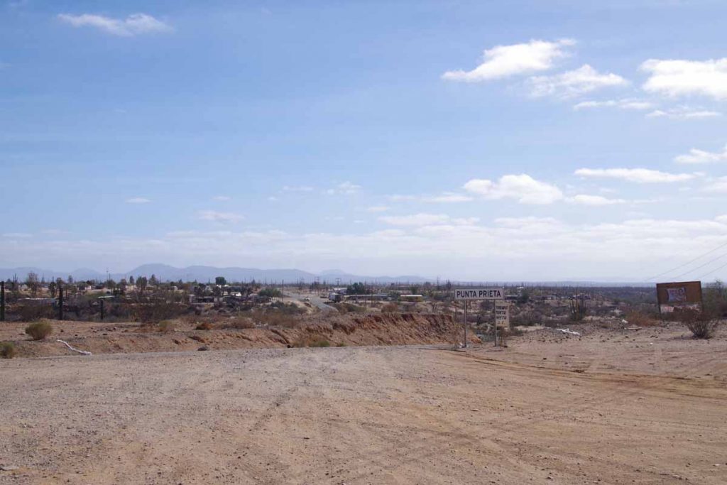
Town of Punta Prieta itself was across a small “vado” and before I knew it I had passed. Still a few more hills to climb.
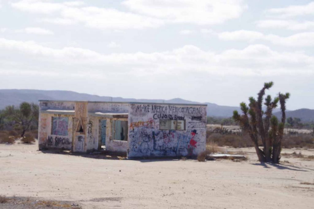
I assume the graffiti was in response to recent US election.
Kept up good progress to reach Rosarito. Like Punta Prieta this was small town and not just loncheria. Stopped in the small hotel here and had lunch at restaurant next door. Even had a hot shower.
Day Four
Flattest day yet.
Hill above is perhaps one of the largest and it was particularly flat at the end. I had a tailwind in this section so easy riding overall. I expected it to be easy so slept in a bit. The first point of civilization wasn’t until Valle Jesus Maria at 42km. This was part with a few very gently rolling hills and also a military checkpoint.
Valle Jesus Maria had a number of small places including this restaurant where I had a breakfast and first working internet since I left El Rosario. Overall a nice little place.
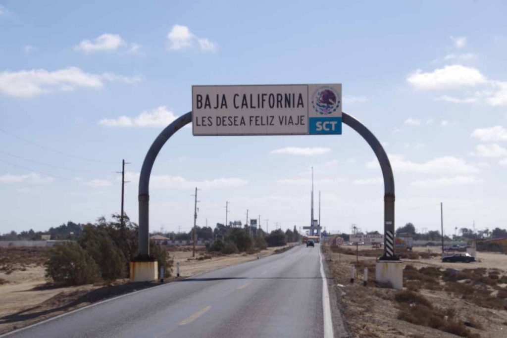
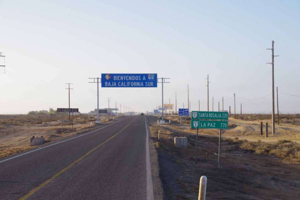
Another 30km of flat straight cycling through barren countryside. Two US cyclists passed me and shortly thereafter I came to Guerrero Negro. The 28th parallel of latitude is a state boundary and so first the goodbye arch from Baja California (Norte) state.
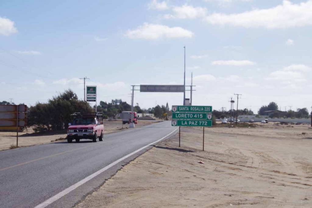
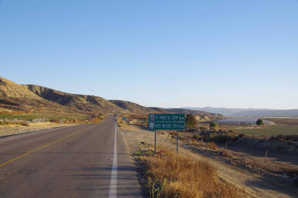
My GPS skipped ahead an hour to Mountain Standard Time and there were now signs for distances remaining in Baja California Sur.
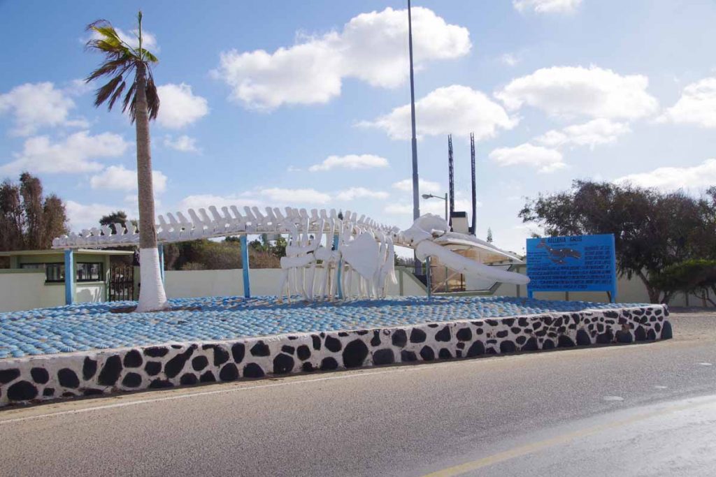
There was a military zone and then this gray whale skeleton and then I was at the town. Found a place to stay and now will sort out the next section of the route.
El Rosario
Changing landscapes as I left agricultural areas and cycled a stretch of desolate coast before reaching El Rosario.
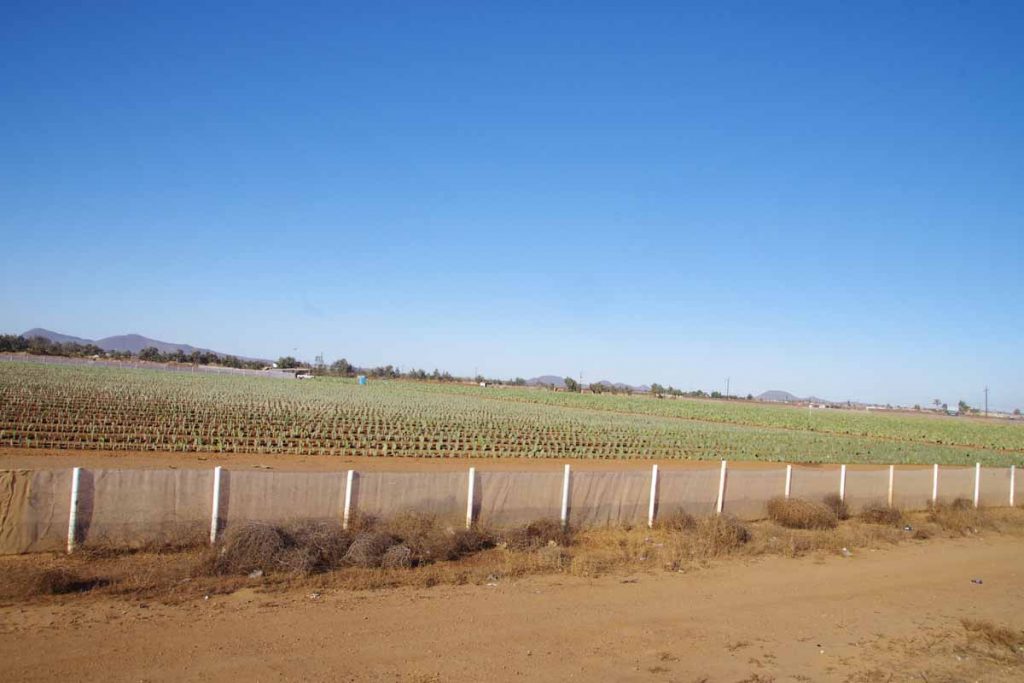
The first third of the ride similar to yesterday, a mostly agricultural area with a lot of road traffic and occasional signs of the coast with RV parks or fishing signs. Above was a field of cactus that was growing nicely in rows.
More of these covered structures with crops growing inside.
At 16km, there was a truck stop designated as “rest area” in Los Pinos. Stopped for a short break. Not much after this, I passed turnoff to “Santa Maria” with hotels and resort locations and not much further the agricultural area stopped. The amount of traffic on the road also became considerably fewer. Still occasional 18-wheeler trucks but a lot fewer cars.
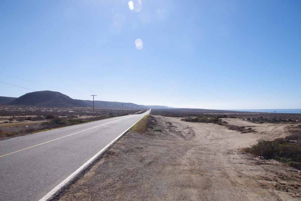
Photo above shows some of the more desolate coastline. I did see one or two places that were advertising lots for sale (in English as well as Spanish) with water and power available.
The last 10km, the road turned inland and slowly climbed a large hill. At top was another military checkpoint and then a steep descent into El Rosario.
A photo of part of the town looking up the hill.
The next 360km goes inland and through the desert. Other folks have written journals like this one that give more details of what is found along the way. It doesn’t look as desolate as one might expect, so plan on bringing some extra food but also getting things along the way as well. From what I’ve read, the desert looks like an interesting ride.
San Quintin
Today was a change from last few days. Rather than going inland from valley to valley, it was much more of a straight road. It was flatter terrain with just a few drainages to cross. Overall perhaps 5-15km from the ocean which I could occasionally see in the distance. Even here there were signs for fish or occasionally to an ocean RV park. Also have seen a few more hotels in these settlements.
There were also several small settlements along the road and more of an agricultural area.
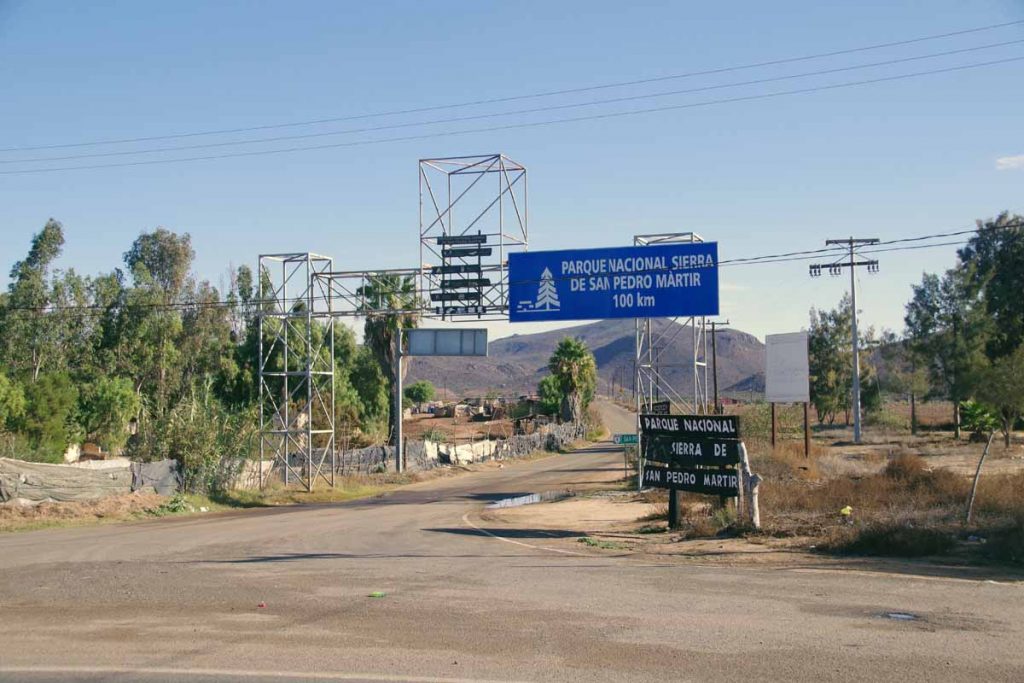
I passed a turnoff to a national park. I get the sense that one will have different perspective staying with the trans-peninsular highway e.g. route 1 vs. going inland to some of these more remote areas.
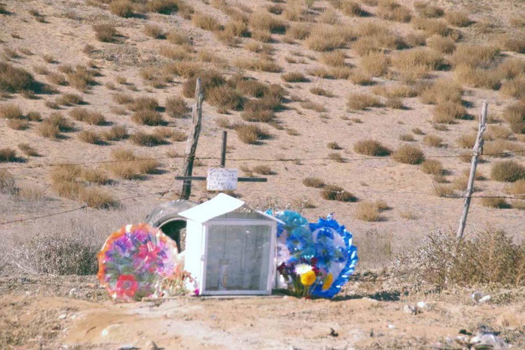
There continue to be occasional little shrines along the road. More elaborate than simple crosses or markers I see in US or Canada.
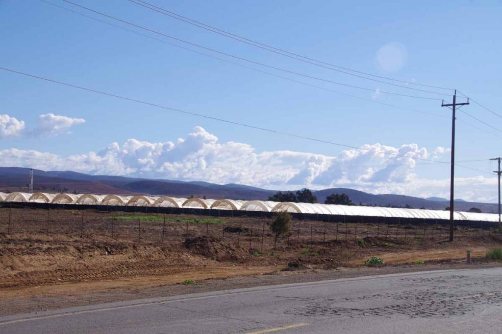
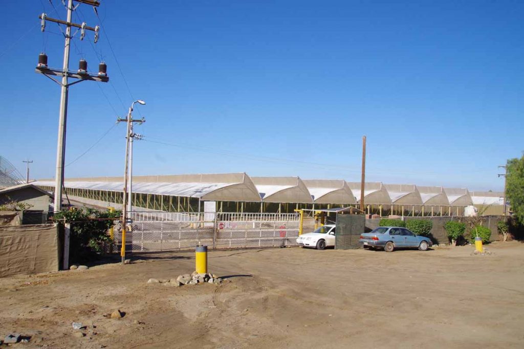
Here is an example of agriculture. Several of these crops seemed to have temporary covers placed over them. I saw some fields where the covers were half there so either busy putting them up or bringing them down. Some of these fields had many cars presumably for field workers. Not quite sure what crop this is.
Also along this part of the route, I’ve seen multiple “solicita” type signs for help wanted at various places.
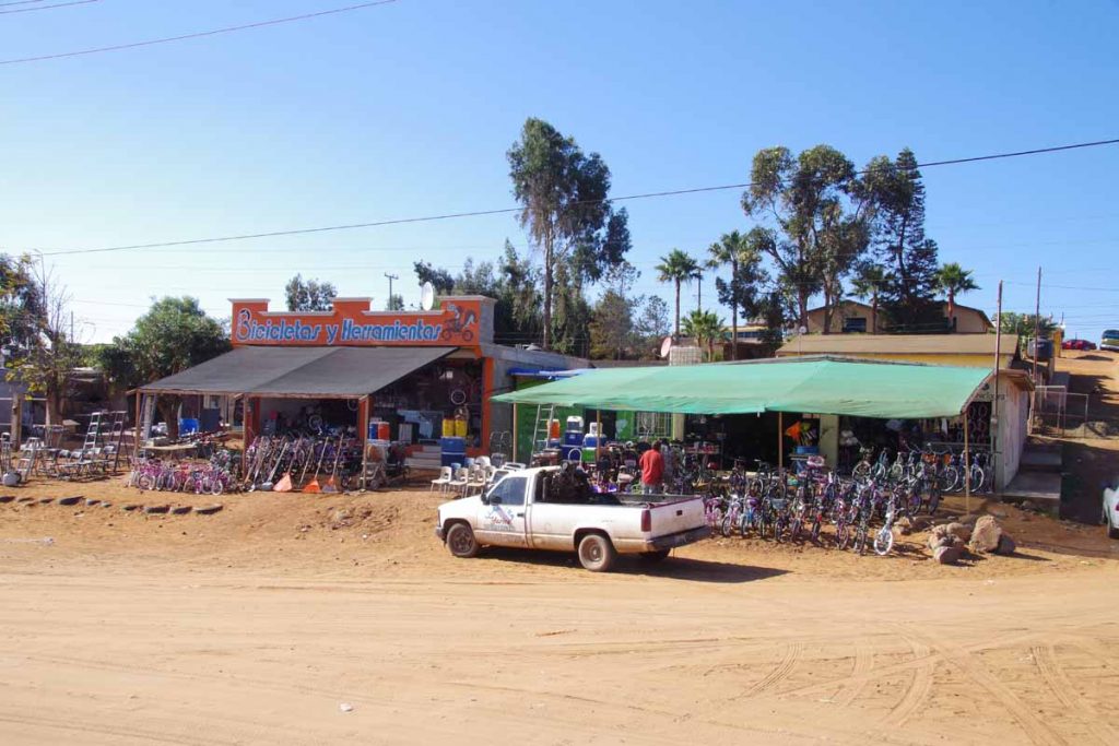
This was bike shop with lots of bikes.
Overall a fairly easy ride today. Distance wasn’t far (61km) and road was flatter. Still a narrow road of varying condition but traffic seems to give plenty of room or slow to wait to pass – so can’t complain there. Overall, I expect another similar day riding to El Rosario with agriculture/towns/beaches/tourist places/traffic before then cutting inland across a longer stretch of desert. Fewer cars there and also a lot fewer settlements or places to get things.
It rained overnight, but as you can see from the photos, I’ve been fortunate with many sunny days and nothing too bad as far as wind goes.
Punta Colonet
Two days, one of them short, brought me 125km further down the Baja Peninsula to Punta Colonet.
I had reviewed other journals to see where people had stayed and noticed that campground at Santo Tomas was well received and hotel or camping in San Vincente was not so well received so decided to make a short day to Santo Tomas.
The first 3km from Ensenada were along parallel to the beach. Stopped here at OXXO for brief breakfast snack and then joined the main highway #1.
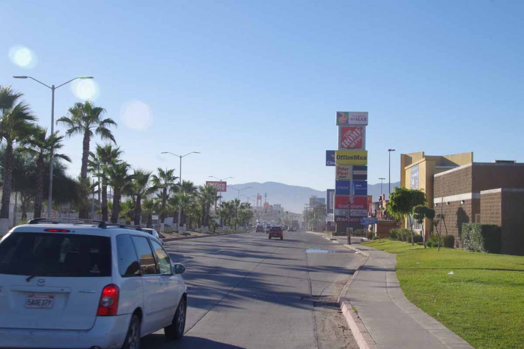
It was busy for first 16km. First a bit of urban sprawl past large box stores (Walmart, Home Depot, Office Max, etc) and then more busy highway. There were even a lot selling “Arboles de Navidad” (Christmas trees).
There wasn’t always a shoulder, but traffic gave me plenty of room. After 16km, the road turned inland and slowly followed a valley uphill. Lanes were reduced from three to two and eventually one lane with a nice shoulder. Passed some greenhouses and also some vineyards.
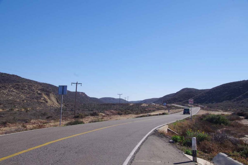
The military checkpoint was straightforward as they waved me through. Slowly climbed up a valley and stopped briefly at 35km at restaurant/market that advertised in English “breakfast”. After that one more hill to climb and then into the Santo Tomas Valley.
Nice vineyard here as well as the El Palomar campground and motel. Made my way to mini-market to get some tortillas and jam for lunch and then had a relaxing afternoon. There was quite a bit of construction noise outside and in evening the roosters didn’t seem to wait until morning. However, overall would agree with recommendations that this was a nice place.
Next morning I was on the road early. Reports had suggested the next 30km of road could be narrow. However, it ended up better than expected. After the initial construction, there was 4km of brand new smooth road. After that it was narrow with barely enough room for two trucks to pass – and none for a bicycle in between. However, I watched in my mirror and got off the road when I saw those situations develop. It was a slow climb of 300m until I reached the 11km mark. After that, there were sections of brand new road and a few older narrower sections but the worst was over.
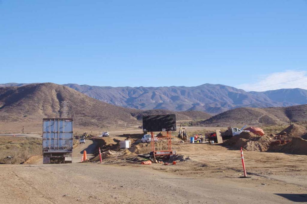
Here is a section of construction I passed.
At 39km I was in San Vincente and had a nice late breakfast at this restaurant. Tortillas seem to come with everything including breakfast omelets.
Lots of people and some stores along the road, but you can see how even through town the paved section is narrow.
There was an international hamburger place (though I’d just eaten breakfast, so no point in stopping).
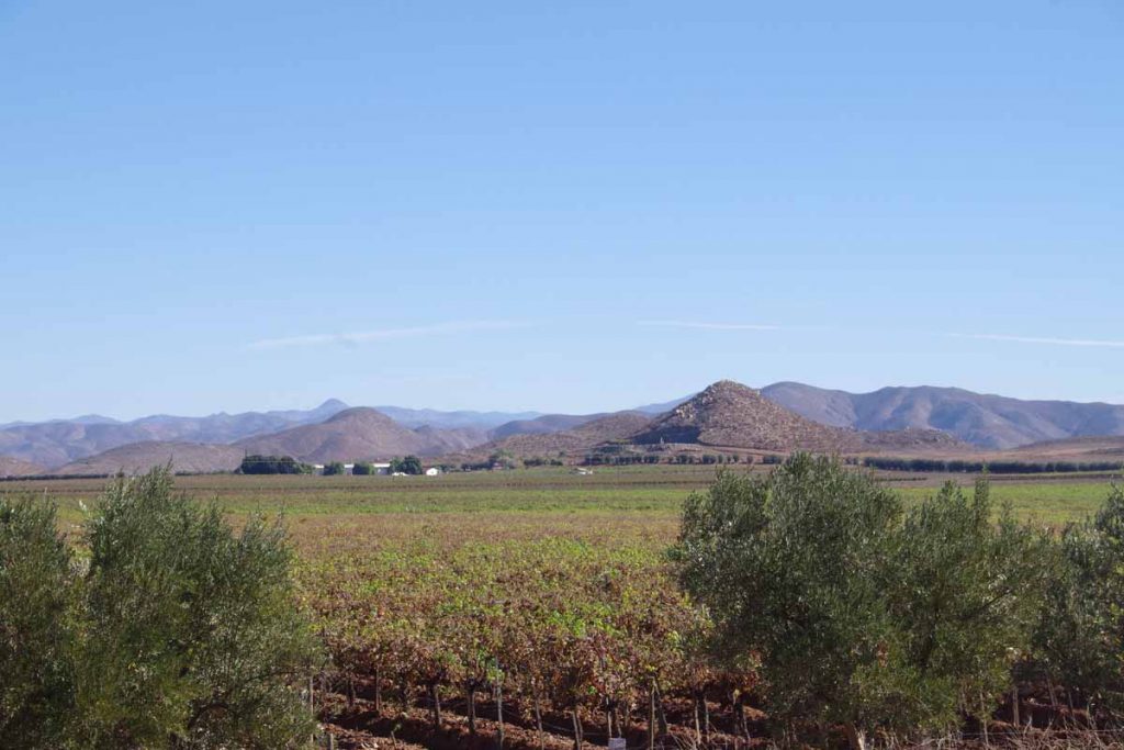
The riding after San Vincente was pretty with a mixture of agricultural plots like the vineyard below
As well as areas of low scrub without crops growing on them. These seemed to separate one valley from the next.
Overall 800m of climbing on the second day, so a few different valleys. At 75km I came to first parts of Colonet. I had read of a hotel with good reviews. I didn’t find it initially so circled back when I reached edge of town. It turns out it was further up the hill and off by itself.
Overall, two nice days of cycling as I make my way to El Rosario. At that point, the road turns inland through a larger stretch of desert.
Ensenada
Nice ride today on roads that were better than I expected.
I was on the road at 7am again today. I stopped a few kilometers later at OXXO store to get a few breakfast items including “dulce pan”, sweet bread that seems to be a favorite. The first half of the ride today had most all the ~700m of climbing including the first 6km starting up the hill.
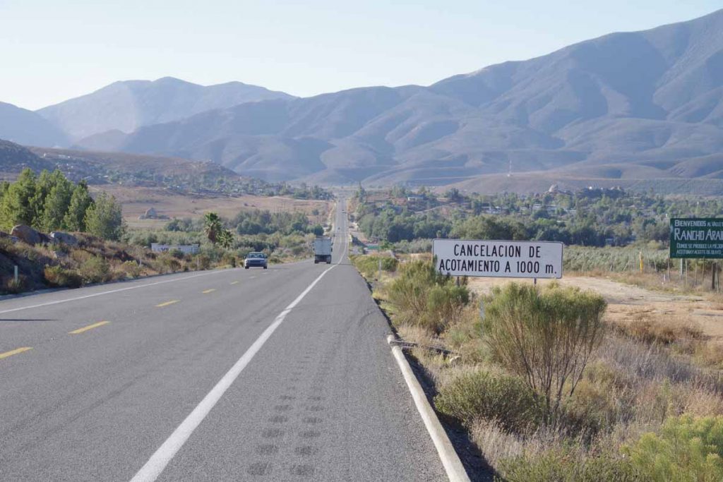
On the way down, the “cancelacion de acotamiento” sign which had me stop to look up (unsuccessfully) in my dictionary. My best guess was that it meant the shoulder went away, except that it actually didn’t. Google Translate says “cancellation of boundary”. Another small town at bottom of this hill and then a good climb up the other side.
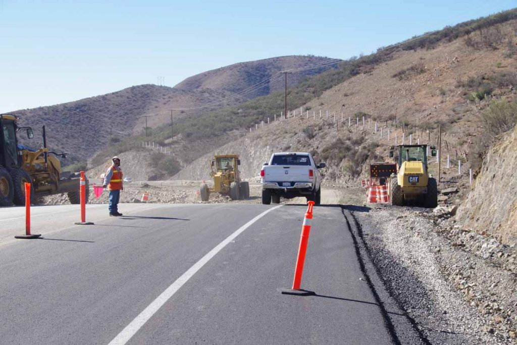
At 46km there were several kilometers of road construction and some old highway. Fortunately, downhill and still reasonable surface.
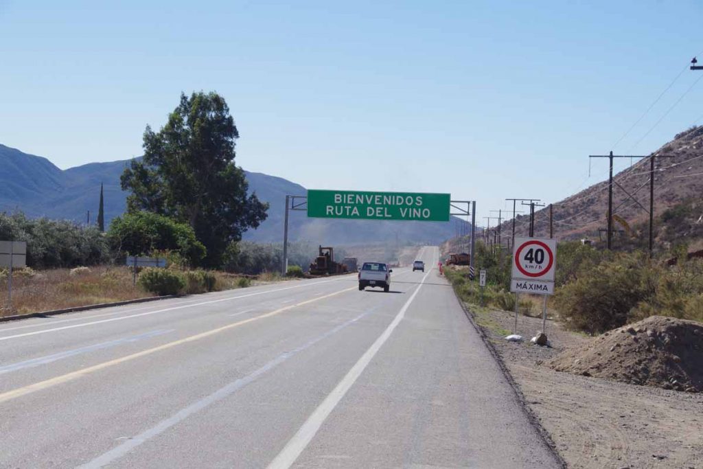
At bottom of this hill, signs for the “wine route”. Multiple wineries, some hotels (likely upscale $$) and easier cycling.
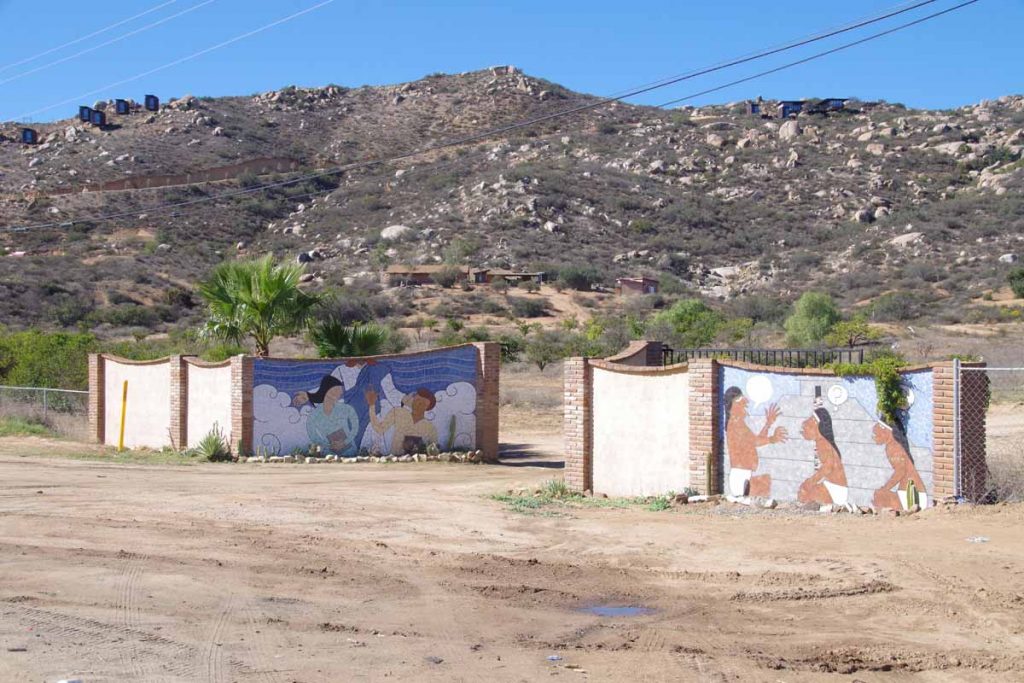
Not sure exactly what these murals were trying to depict.
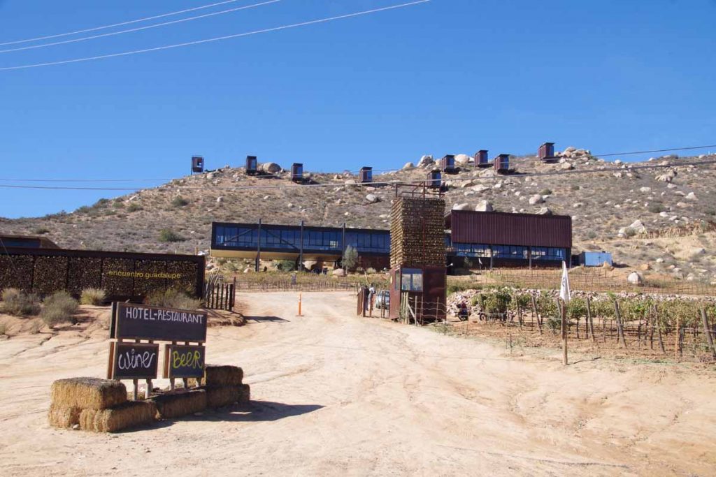
See those boxes up on the hill? I believe these are the rooms for this hotel. Gives each one a nice view as well as a private space.
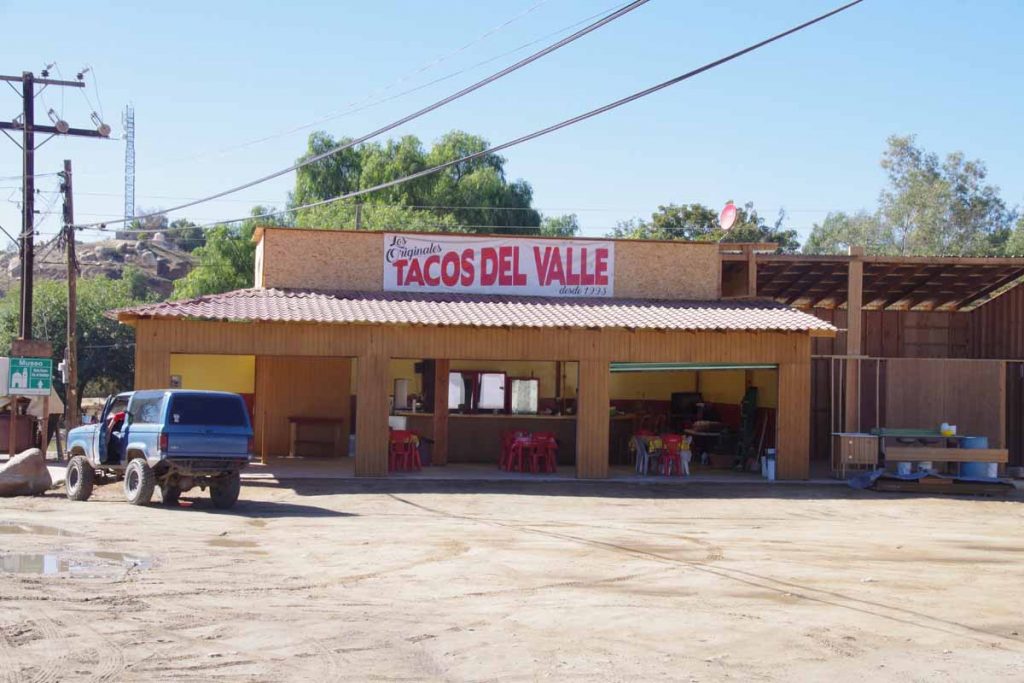
This was my lunch spot in town of Guadalupe. Easy to eat next to my bike and a friendly guy making the tacos.
After lunch the route slowly got busier and at some point turned into two lanes each way. My shoulder now went away, but traffic still light enough that it usually passed.
By 90km, I had reached the Pacific Ocean and route 3 had joined the main route 1 from Tijuana. It got busier, but most of the way I had a shoulder and was reasonable cycling.
I cycled the last 10km into middle of Ensenada and found an inexpensive hotel. Now a chance to walk around. I got a SIM card, but somehow could only buy a 9-day service plan. Will need to see how to follow this up with a 30-day plan, perhaps online? Otherwise, a pretty ride from Tecate to Ensenada. This is a big city (500,000) but at least traffic I’ve seen so far doesn’t seem that big.
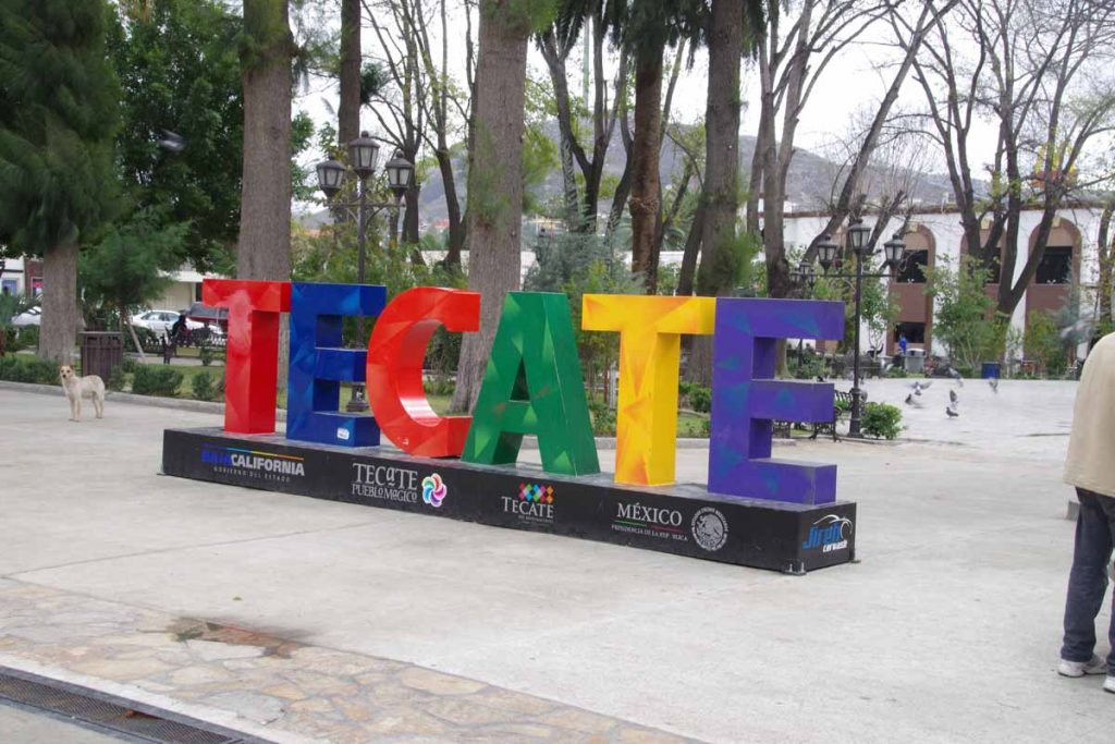
Tecate
Viva Mexico!
Today was a straightforward ride to town of Tecate and then border crossing into Mexico. It was cool and overcast, but fortunately stayed dry all day long. I decided to get on the road early since I knew I had a lot of climbing to do and it gets dark early (~4:40pm sunset). The first 4km were flat but then climbed ~1200m over the remaining 60km today. I initially followed larger roads through suburban San Diego, most of them with bike lanes and overall not very heavy traffic.
At 13.5km, I came to edge of suburban development and followed Otay Lakes Road. This was flat or very gentle grade as the road came past a sky-dive center and a commercial campground. At 28km, turned right onto CA-94. This road had more traffic and not much of a shoulder. Fortunately, all relatively well behaved. My odometer had a few short sections of ~7% grade but mostly less.
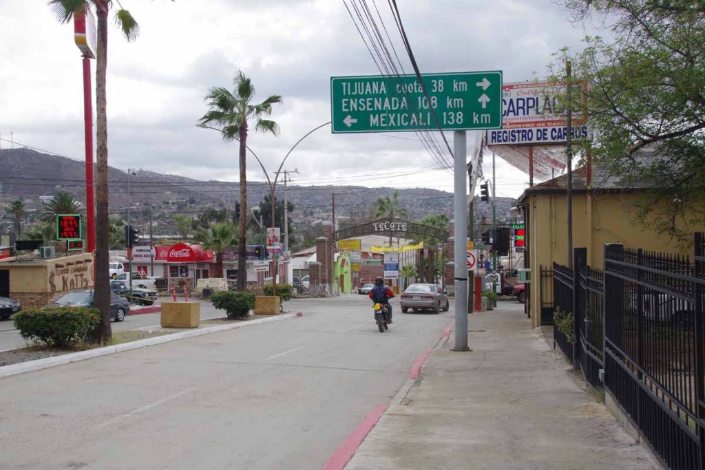
Close to noon and I could see Tecate in the distance. Interestingly, I didn’t see much of town of Tecate, CA but a lot more on the Mexico side.
Border crossing was remarkably easy. Nothing required to check out of USA. It asked customs officials about the FMM form which I knew I would need to travel further into Mexico. I was directed first to immigration to get the form, then to a bank office and finally back to immigration to get the form stamped. Glad I had read this on internet as it would have been surprisingly easy to enter and skip getting this form.
I was now in city of Tecate where photo above was taken as I passed the square. Traffic was remarkably easy and before I knew it I was already following signs to climb the hill to Mexico 3 – the wine route to Ensenada. There seemed to be several hotels, though I had made things a little easier by making a reservation online at place ~10km south of the town.
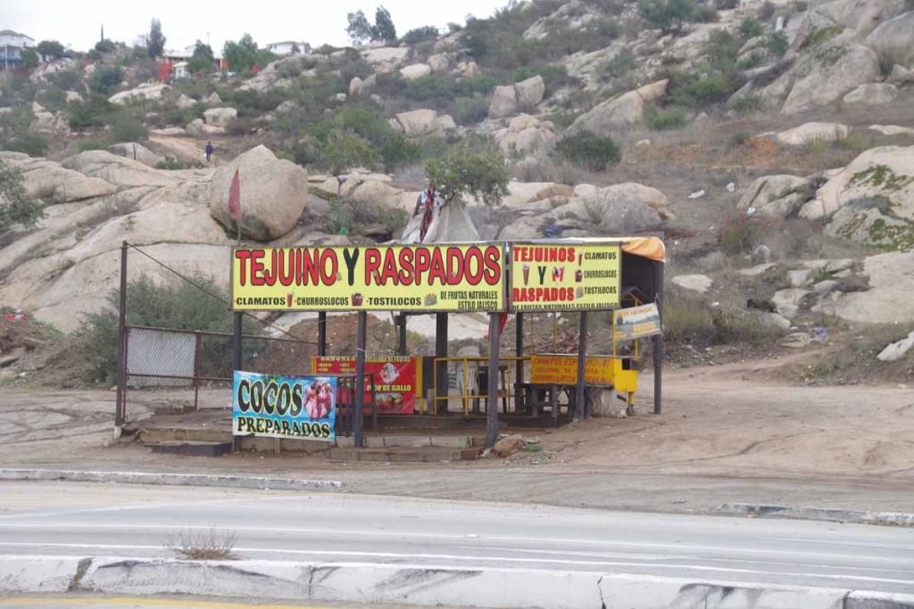
I can tell I’ll need to get out the dictionary to translate signs I don’t know (I think the one above is for “snow cones”).
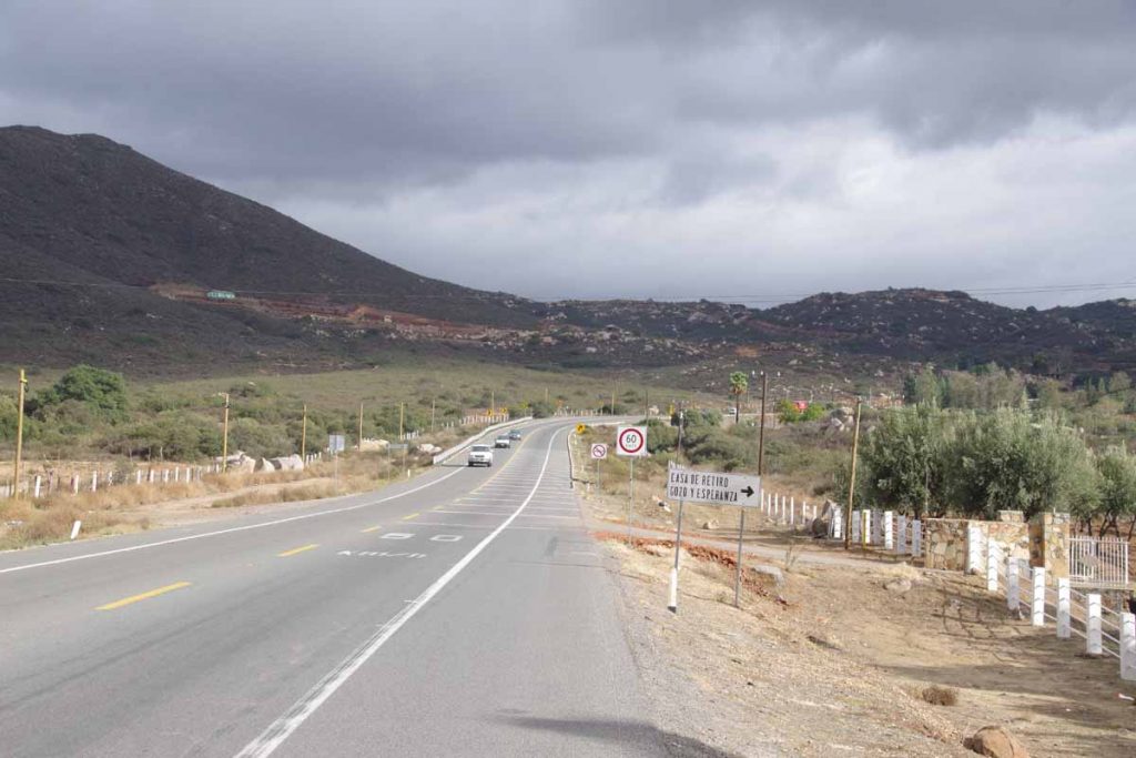
The first kilometers south of town still had a nice shoulder, but expect this to go away at some point.
Overall, crossing at Tecate was simple. I’ve already passed the border town, but still need to get a few errands in a city center such as getting a Mexican SIM card.
Viva Mexico!