↓
 

A bicycle ride across the Americas

from Deadhorse (SCC) to Ushuaia (USH)

  • Home
  • Plan
  • Blog
  • Photos
  • FAQ
    • Why?
    • Where?
    • What next?
  • Map
  • Equipment
  • Calendar
  • Countries
    • USA
      • Alaska
      • Montana
      • Wyoming
      • Colorado
      • New Mexico
      • Arizona
      • California
      • Texas
    • Canada
    • Mexico
    • Guatemala
    • Honduras
    • Nicaragua
    • Costa Rica
    • Panama
    • Colombia
    • Ecuador
    • Peru
    • Bolivia
    • Chile
    • Argentina
  • Weather
  • Links
  • Contact
Home→Author mev - Page 13 << 1 2 … 11 12 13 14 15 … 33 34 >>

Author Archives: mev

Post navigation

← Older posts
Newer posts →

Abmuqui

A bicycle ride across the Americas Posted on 2017-05-17 by mev2017-05-17

Shorter ride today with over 1400m (4700ft) of descent. A little warmer, but not to worry we’ll climb this all back on way to Quito.

San Gabriel was nice little town, with the main commercial street up on the hill. We were back on the road early and for first time in several days, the road was dry. It stayed dry and sunny and even warmer here at 1760m (5800ft). Gasoline in Ecuador is relatively inexpensive. Also interesting to find another country it is sold by the gallon.

Off in the distance, our first volcano. This before one of the first descents.

Still some small hills to climb. Made an excuse to stop by photographing the environmental sign.

Religious shrine on entrance to one of the villages.

Mammoths!

Also saber tooth cats.

Mural told of the slaying of the mammoth.

All these murals and more at entrance to village of Bolivar.

Not much further and we started the serious descent for the day. My tire felt a bit soft, so stopped at 20km and pumped it up. Otherwise, the descent was on good two lane road and with stretches in the 8-10% downgrade. It was tiring to go so slow down this hill.

Another religious shrine along the way. Seems like many of these Ecuadorian villages want to mark entrance with some interesting shrine or memorial.

Finally at the bottom! It was considerably warmer here and also seemed a bit drier.

Without too much trouble, cycled to a nice roadside resort. Next door was small restaurant. The specialty was fish.

Overall today was shorter day, but significant climb back ahead and not sure where next place to stay. When we arrived, I checked my back tire. Pulled out three small wires as well as a piece of glass. I ended up patching the tube as well.

Posted in Ecuador

San Gabriel

A bicycle ride across the Americas Posted on 2017-05-16 by mev2017-05-16

Today a pretty and not too difficult ride through Ecuador. This being Ecuador, there was climbing involved, but less that the last two days of riding.

Started out cycling through the small streets of Tulcan, from city center and then south along the spine. It was early and not much on the road yet. The roads were wet as there had been intermittent rain.

After 6km, came to the main road and started the longer climbing for the day, ~400m (1700ft). Road had a good shoulder. Found it interesting that Ecuador also adopts 911 as emergency number.

Today was mostly across agricultural region with these patchwork fields.

This photo near the top, at 3300 meters (10,850ft).

Look carefully on the horizon and you’ll see people up working on the field.

Horses here.

Cattle as well. See a number of small dairies along the way.

Toll booth. In Colombia, motorcycles are free, in Ecuador they cost $0.20. Since there isn’t a motorcycle lane to bypass on the right, we had to take cues on where to ride. Eventually directed all the way left to bypass the toll area.

Colon Christobal was one town over from our destination.

San Gabriel, destination for today.

Sculpture at center of town.

Murals.

Church.

We walked around town to find restaurant for lunch as well as buying some groceries. Otherwise a quieter and not too difficult ride today.

So far, haven’t noticed a lot of difference between Ecuador and Colombia. Starting in southern part of Colombia, I did notice some wool ponchos start to appear. Otherwise, these look like little towns in the Andes with cooler temperatures. Lots of hills, but that was true in Colombia as well.

Posted in Ecuador

Tulcan, Ecuador

A bicycle ride across the Americas Posted on 2017-05-15 by mev2017-05-15

Greetings from Ecuador! These past two days, we cycled over two larger hills from Pasto. I say “we” because, my brother Bert arrived in Pasto day before, by bus, with his bike and is joining the ride for a bit. Nice to ride with him.
Day One
From Pasto to the the last reasonable sized town on the Columbia/Ecuador border (Ipiales) is 83 km. However, there is ~2000m of climb so our plan was to split this into two days.

One of the churches in Pasto. We started from near the bus station. Some of my photos on this first day out of focus (sorry), though this first one was fine.
From Pasto there is a ~600m (2000ft) climb starting out, followed by a ~1400m (4600ft) descent. So it was a slow grind to get up top of the hill. It was mostly a slow 6-7% climb. I thought it was interesting to see a paintball place. Overall, parts of Colombia I’ve seen, appear to be a little more wealthy nation than some of Central America (e.g. Honduras or Guatemala), so paintball is one of those indulgences.

It was a Sunday and despite being overcast and dreary looking, there were plenty of local cyclists on the road. This was at the top (3174m, or 10,400ft) at gas station restaurant. Some local cyclists had also stopped here at restaurant.

Now for the big descent. Across the way were these patchwork fields.
A pose with some friendly military folks. This part of Colombia from Cali south has had multiple spots where there were military stationed along the road. Often a “buenos dias” as we cycle past.

Very close to bottom is town of Pedregal, a popular stopping point for cycle tourists. We stopped here and had lunch.

Church in Pedregal.

We considered stopping in Pedregal as it would be nice to be in small town with stores and similar amenities. However in end, went another 8km further to small guest house mentioned by another blogger. What sealed the deal for me was that Pedregal hotel didn’t have hot water. If I wasn’t going to have hot water anyways, then nice to get just a few kilometers fewer to cycle the next day.
Hotel San Jorge was our spot. It was ~700m back to village of El Capuli. This was small enough that the restaurant didn’t need a sign. However, tourists like ourselves did need to ask.
Day Two
Today was a longer ride where we knew we had ~1000m of climb to reach Ipiales. It turned out we went just slightly further into Ecuador.

Today the climb was over a longer distance. Hence, there were sections of flatter/rolling terrain mixed with some solid climbs. One short and very steep hill mixed in as well. This photo shows a common issue, small rocks or sometimes landslides coming down the hills and onto the road.

At 8km, there was a crossing as well as small shrine, complete with seating for six. Bert is checking out the shrine.
Pretty waterfalls the other direction.

More waterfalls.

A small stand selling fruit and other things on the climb.

These guys were picking beans. The photo may not show it, but the field is moderately steep.

This brought us to Ipiales not far from noon. At this point we had a choice, try cycling to cross the Ecuador border, or stay here and cross early in morning. We knew the border was notorious for sometimes having long delays, so thought it would be good to use our afternoon time now.

Photo above is just after we exited the Colombian immigration point and not yet entered Ecuador. I’m not quite sure what I can photograph, so had this shot more from afar, but does demonstrate some of the chaos you sometimes see at the border. Also if you look closely, the bridge connecting Colombia with Ecuador has a signed cycle path.

Crossing into Ecuador turned out to be quicker and easier than expected. They gave me a 90 day visa, which should be more than enough since distance is shorter than Colombia and I spent 31 days crossing Colombia. However, better to have too many days than not enough.

After the border there was a steep little climb before leveling off and not too far away was Tulcan the first larger town in Ecuador. We went to center of the town to find hotel with wifi and hot water. Also to see if I can find a SIM card for my phone. At the border there was someone hawking SIM cards, but it was of a small network, so not sure how good the coverage.

This was vendor on the street.

Church across from the plaza on main street.

That thing with feathers looks like what we would have call a native american headdress. Not sure what the connection is here with Ecuador. Otherwise turned out to be slightly wet and soggy afternoon and so nice to have a reasonable hotel (with hot water!) here in Tulcan as we check maps for next segments on our way to Quito.

I ended up stopping at several shops on my way to buy a SIM card. Eventually found one and purchased a SIM card plus a week of service including 200mb of data for $3. Also interesting that in Ecuador they use US dollar currency bills along with their own more local Ecuadorian partial dollar coins.

Posted in Colombia, Ecuador

Pasto

A bicycle ride across the Americas Posted on 2017-05-11 by mev2017-05-11

Two challenging days riding and I am ready for rest day in Pasto. First day was challenging with a lot of climbing. Second day was tough with some more climbing and neither bicycle nor myself was 100%. However, happy to be in Pasto. My brother arrives Saturday afternoon so have not one, but two rest days here. I could have kept going and have him meet me further, but also decided this was good spot for a breather.
Day One
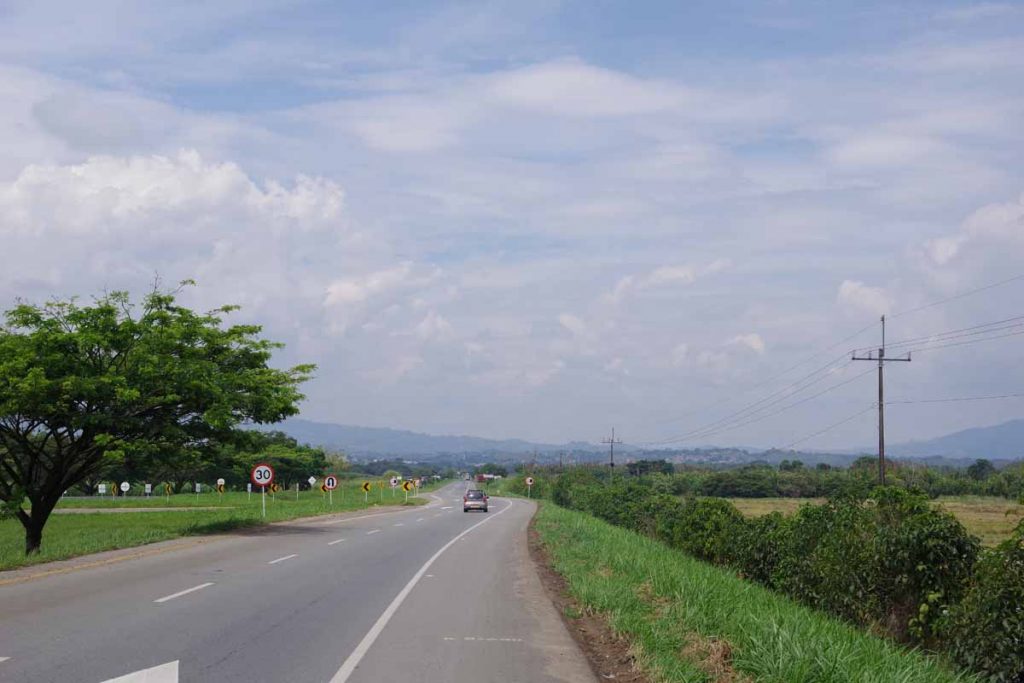
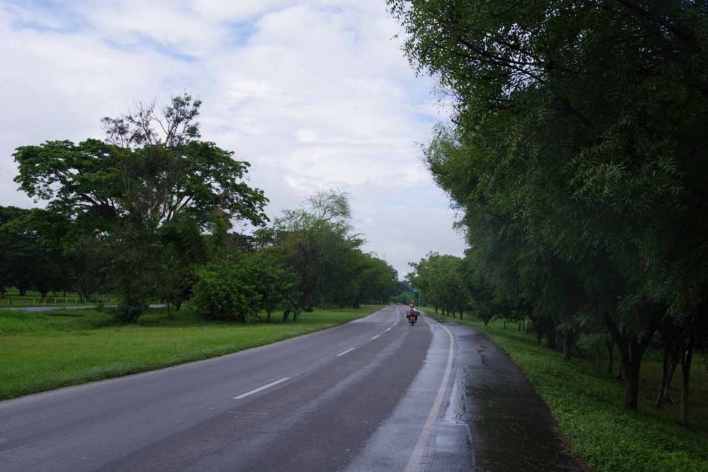
Up, down, up. A lot of climbing today, but weather cooperated so all went well.

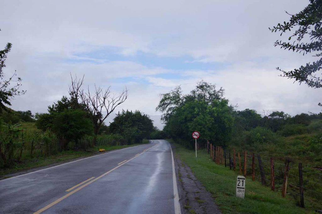
Left the hotel and low point for the day was at 3km where I crossed the river. From here, 23km of climb up to ~5000ft. A little over half that climb was in the first 9km, so steeper starting out and easier after that.

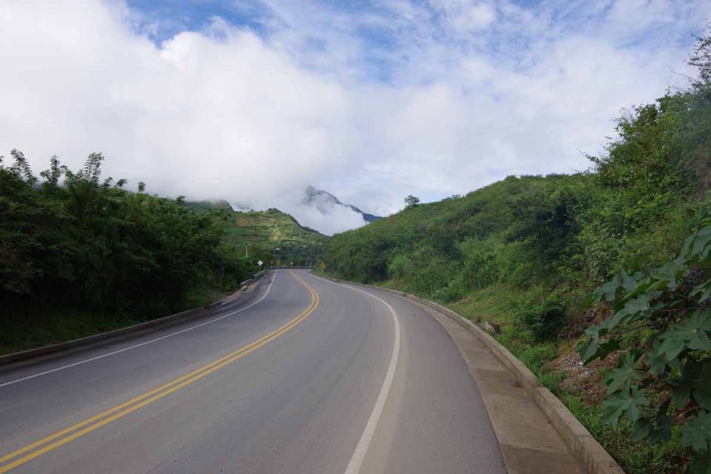
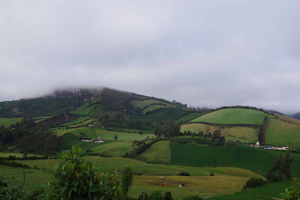
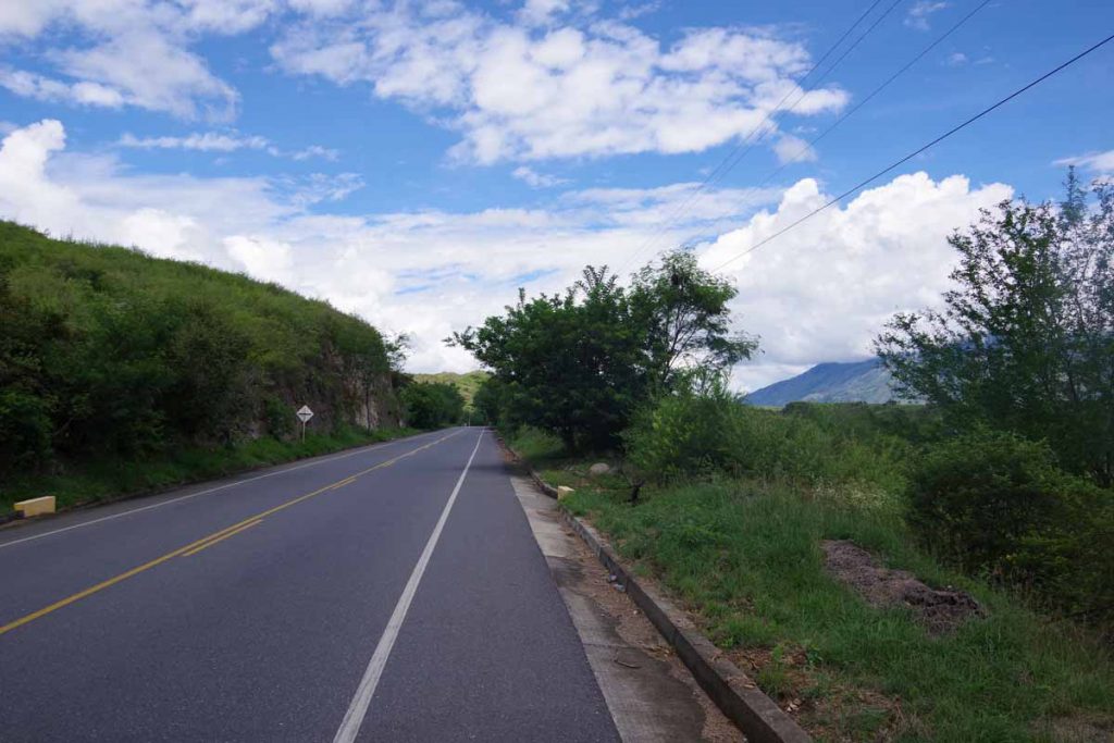
Weather was turning to be a nice day with blue skies.

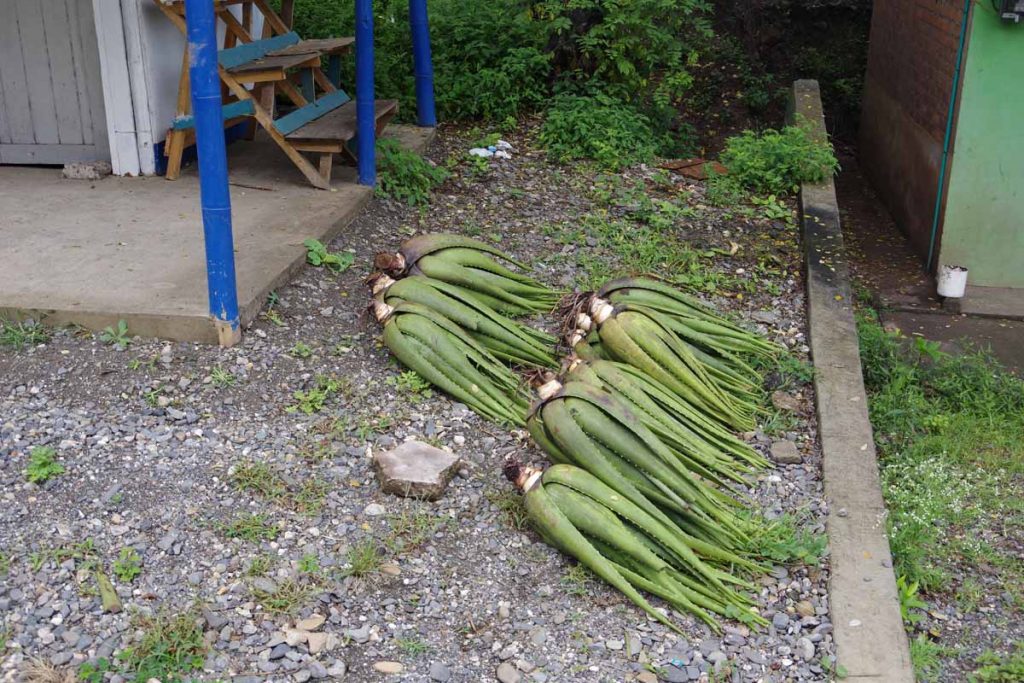
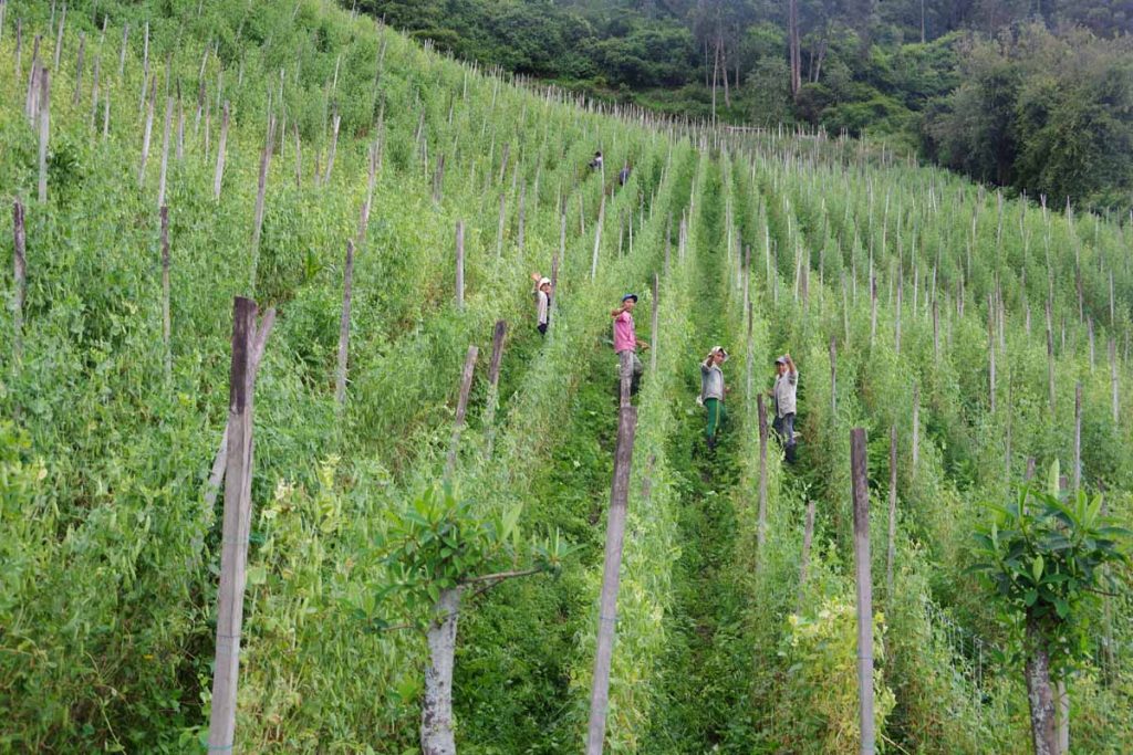
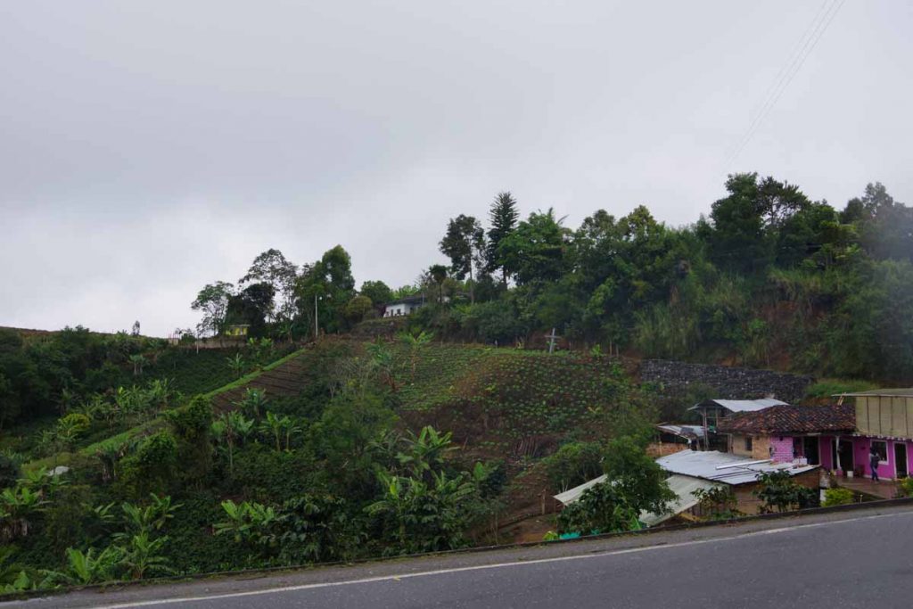
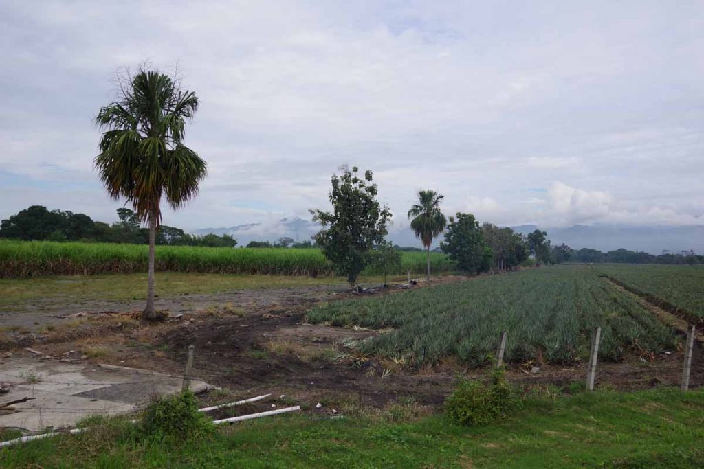
Not sure what these plants are, but looked like they had specifically been harvested here. Also saw a lot of squash and some watermelon as well.

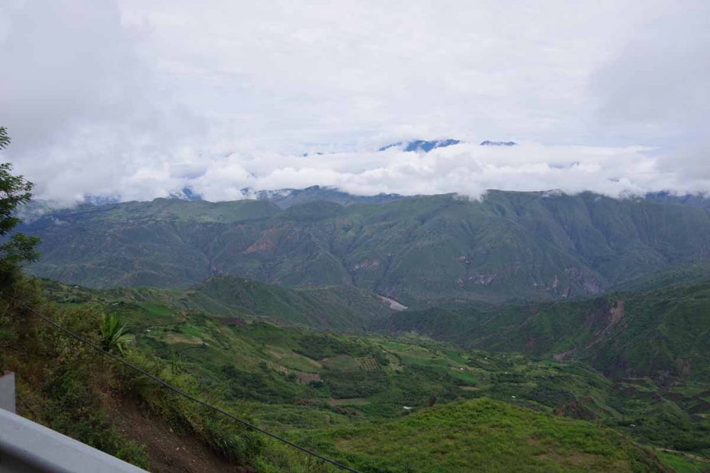
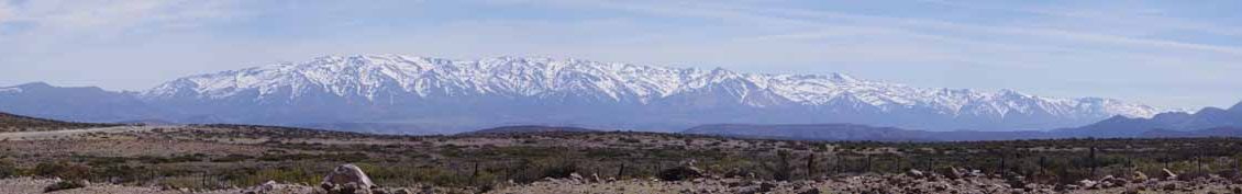
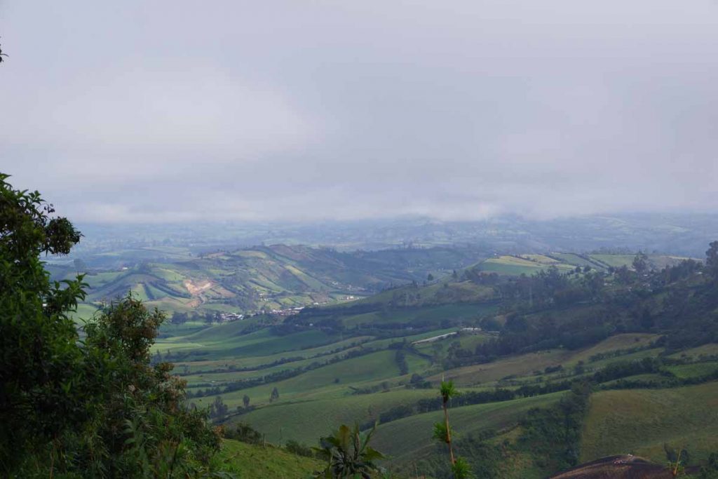
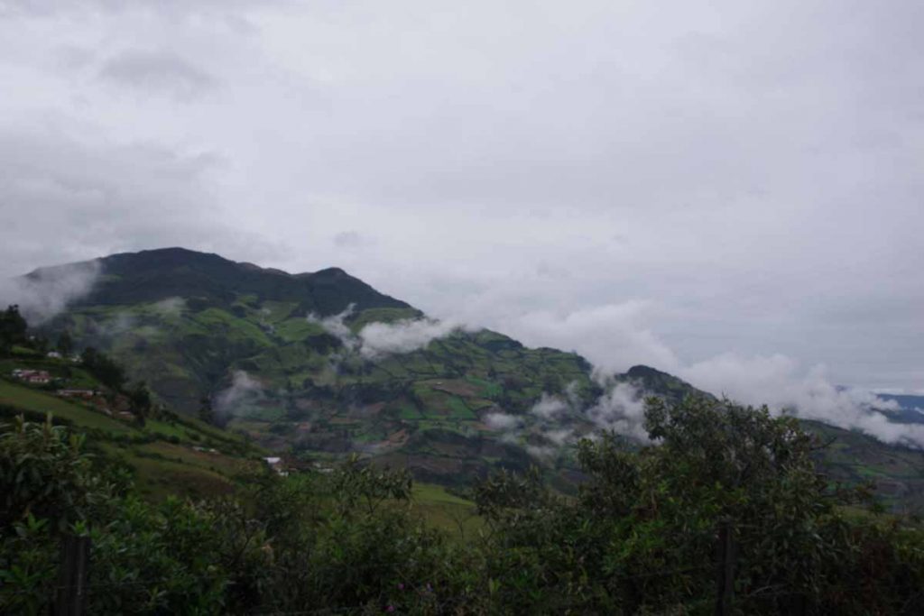
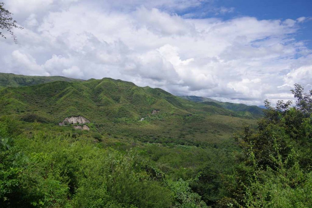
It was a steady ride that took around 4 hours including my stops but nice views on the top. From here a brief level spot before descending for 13km back down to the river.

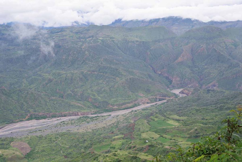
You could see the river down below.

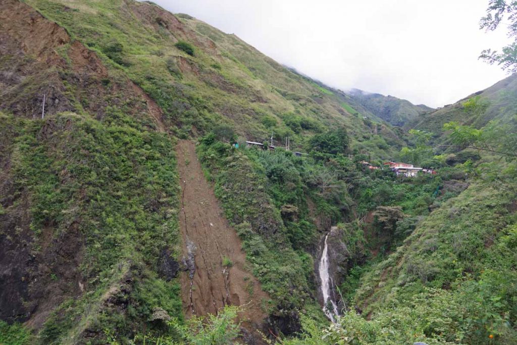
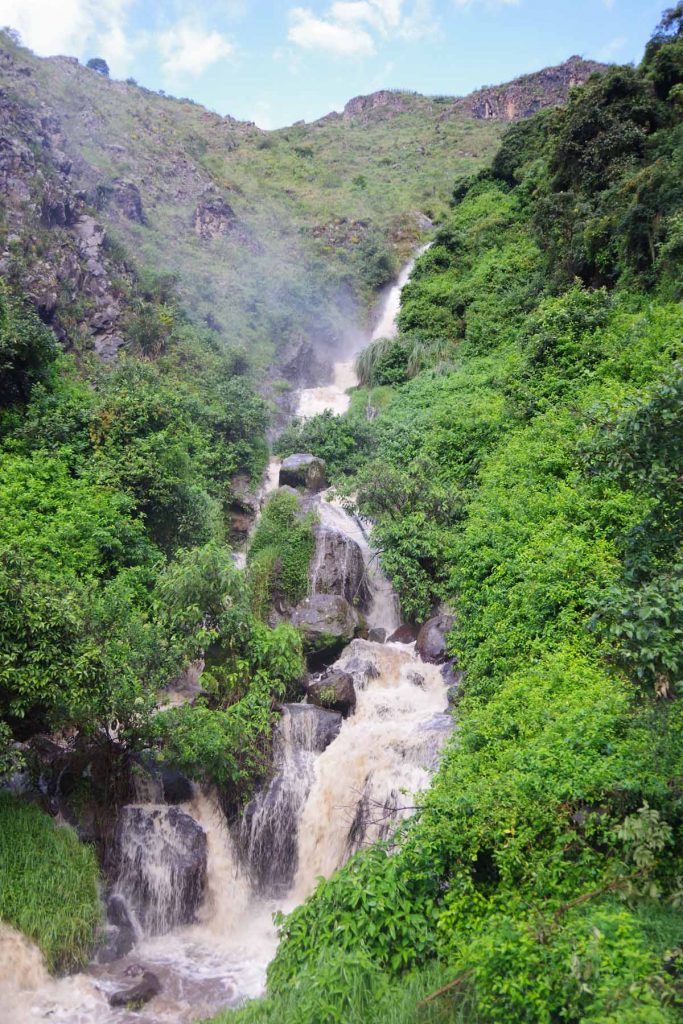
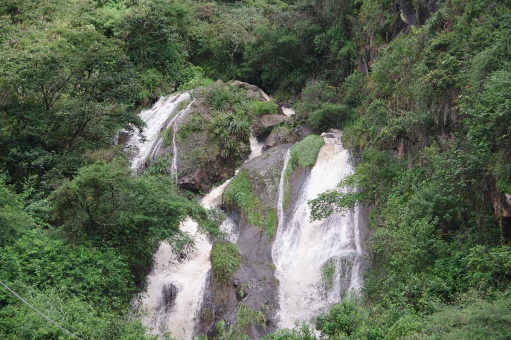
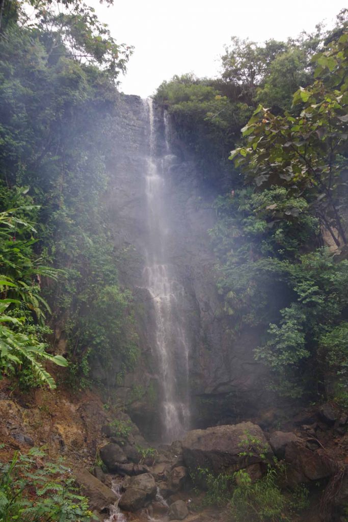
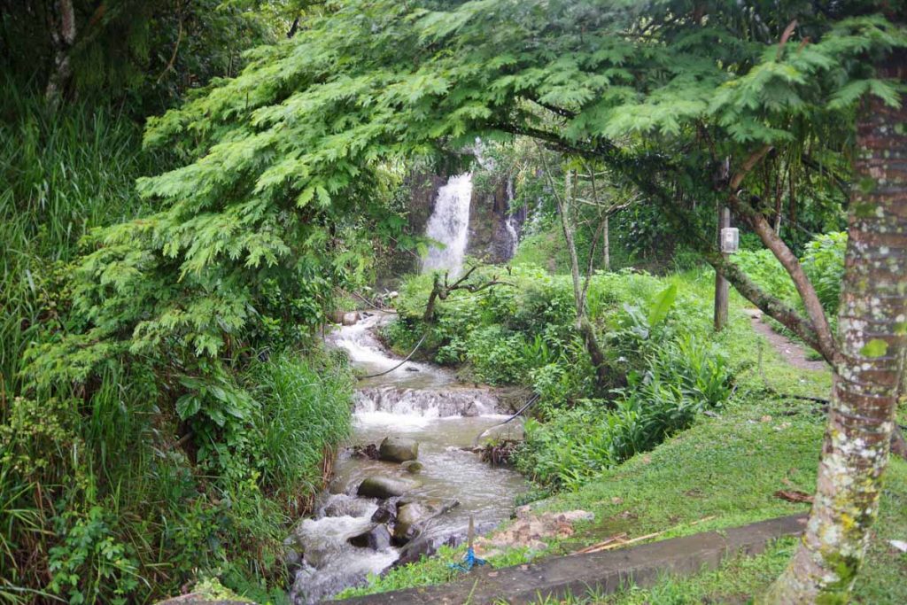
Another view of road on descent with a waterfall below.

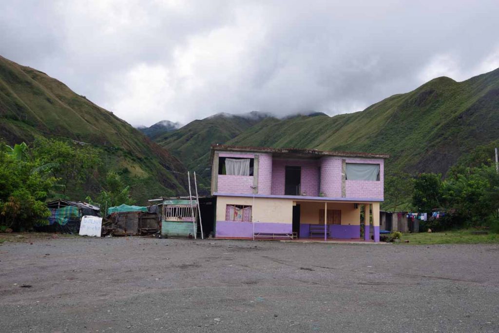
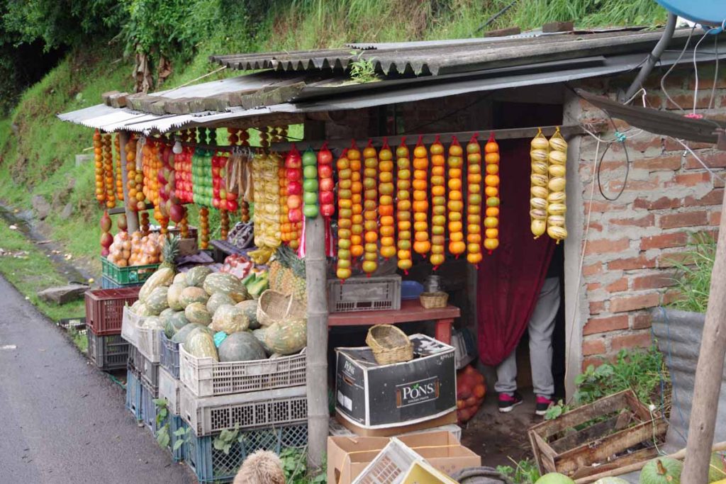
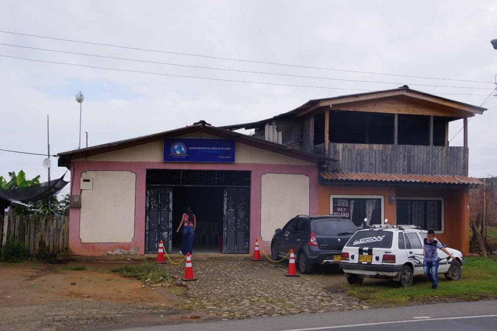
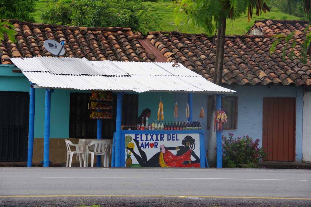
Colorful basic house.

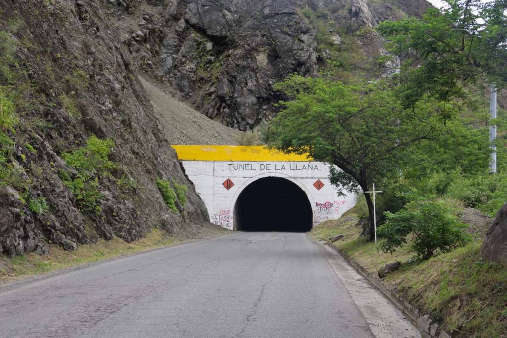
First of two tunnels today. This one on the descent and with a curve. Got somewhat dark, but fortunately not too long.

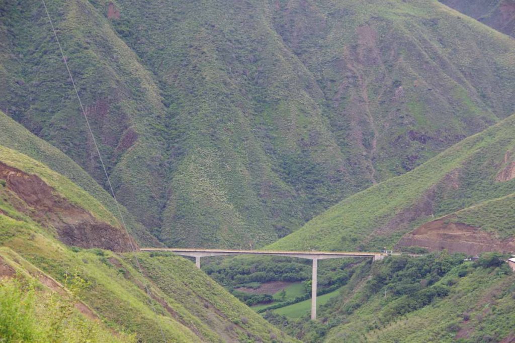
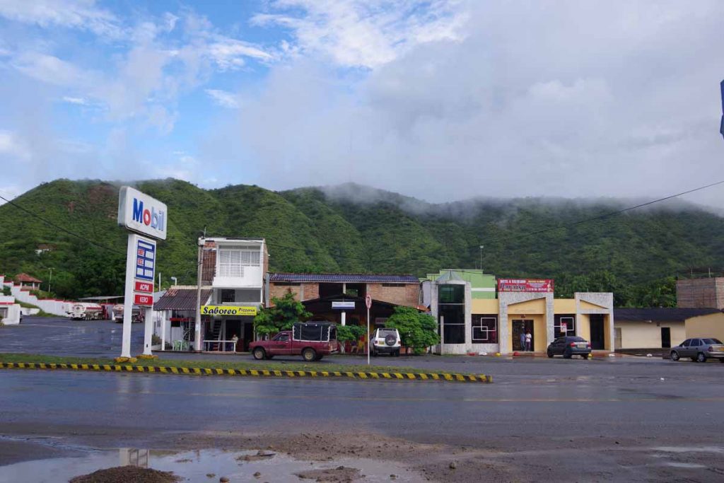
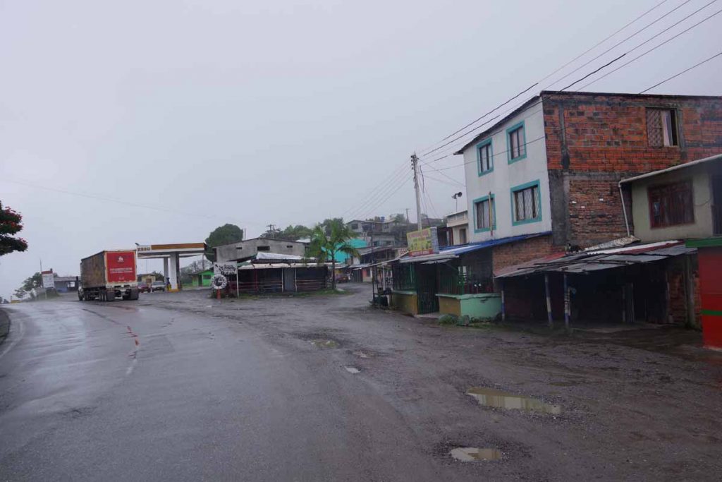
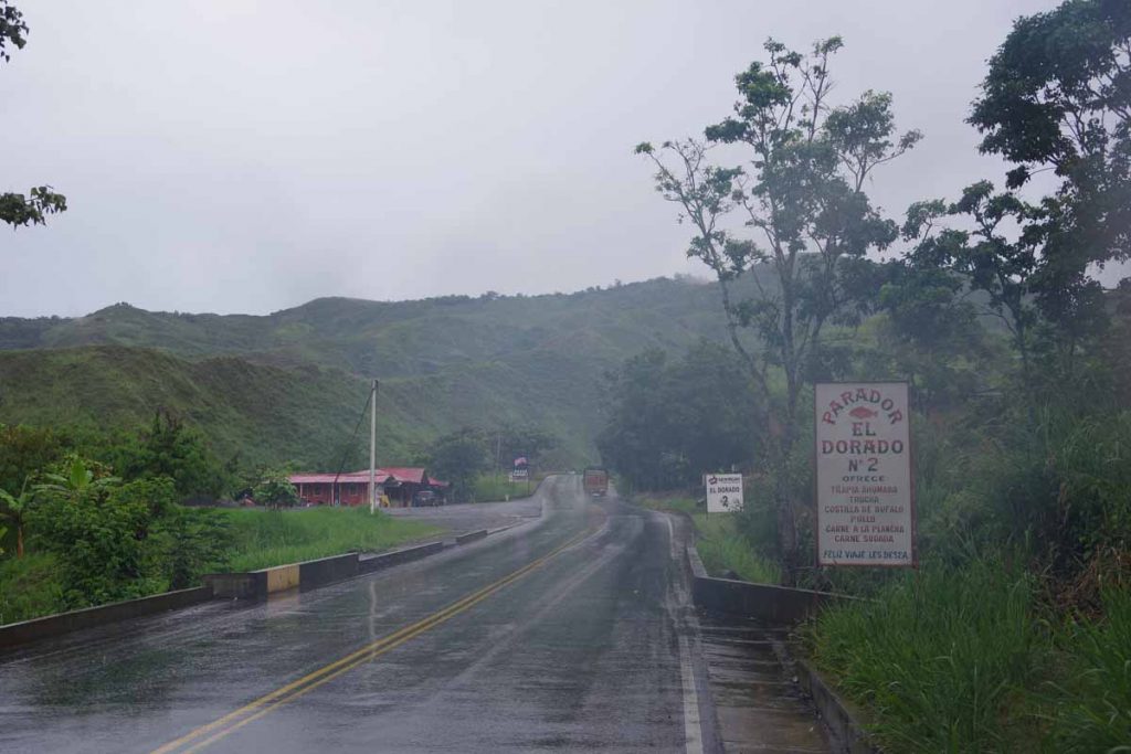
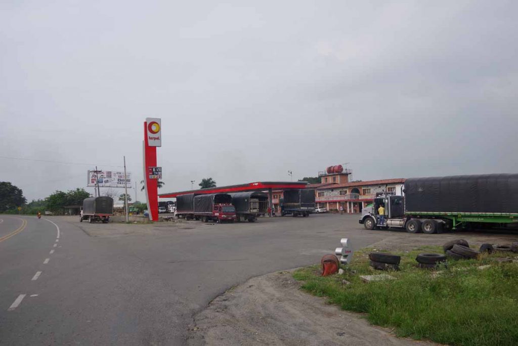
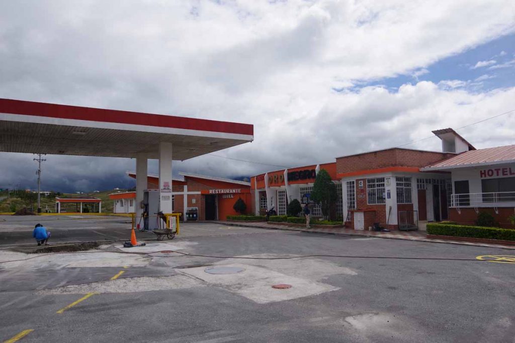
Bridge down at the bottom. Wasn’t much at the bottom. One small place that looked like it might be hotel and a gas station mostly closed.

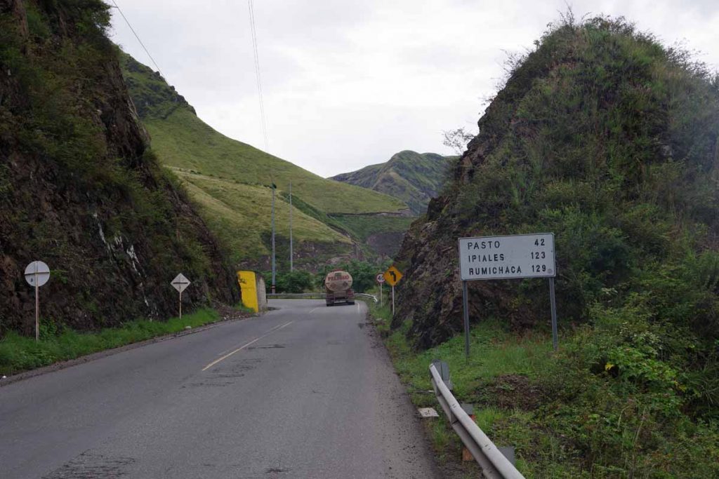
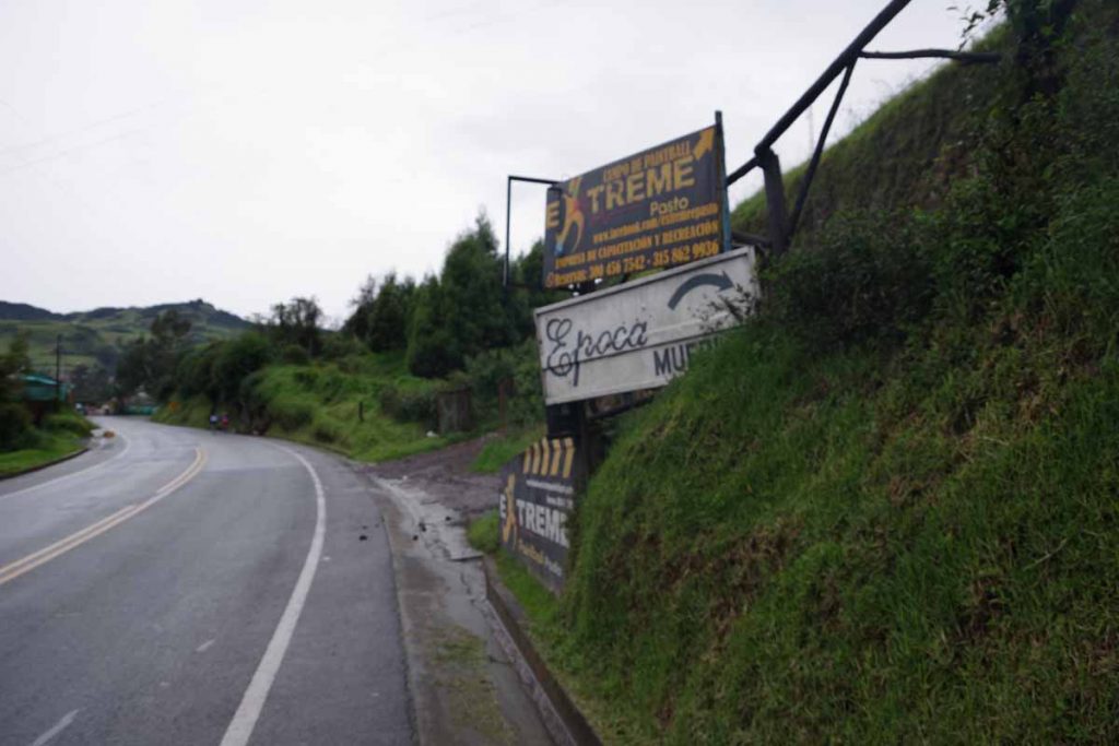
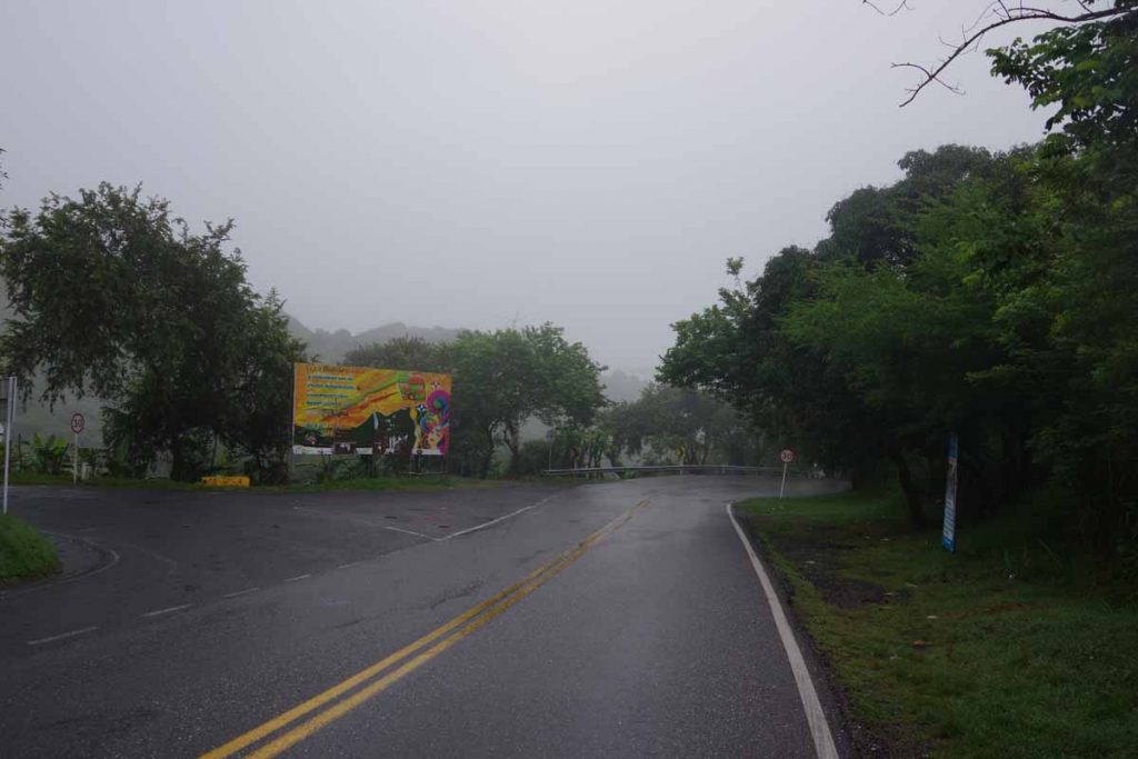
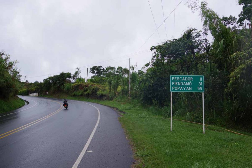
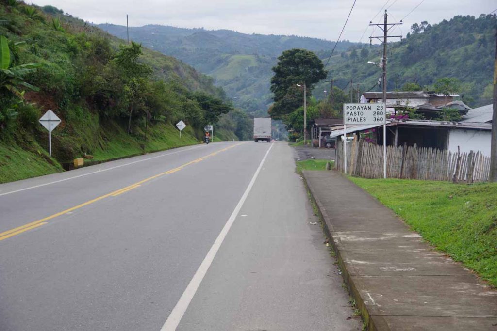
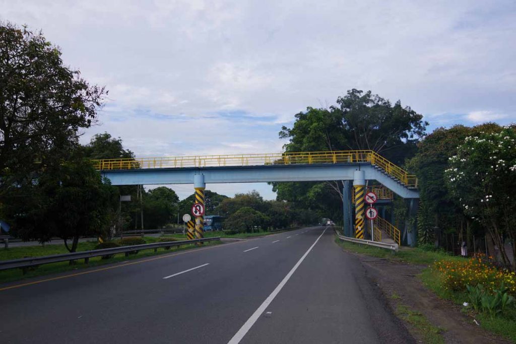
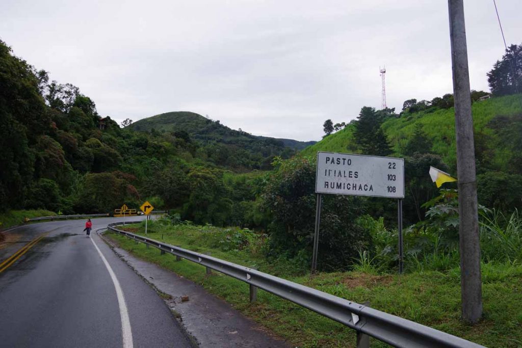
Climbing back out there also wasn’t much for the first 12km. The sign to Pasto made it seem tantalizing close, but a lot of climbing still to go.

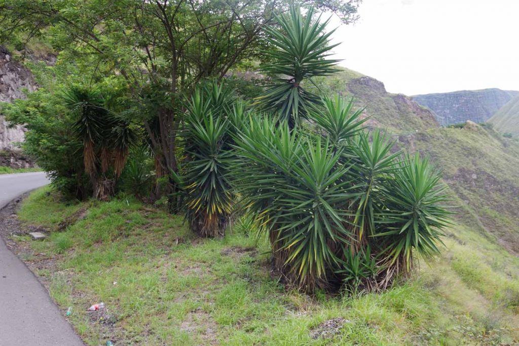
These plants almost look like Joshua Trees but still somewhat different.

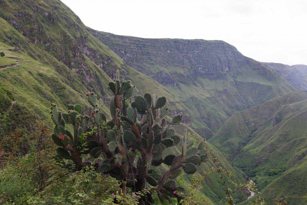
Also nice to see a cactus if this means drier general climate.

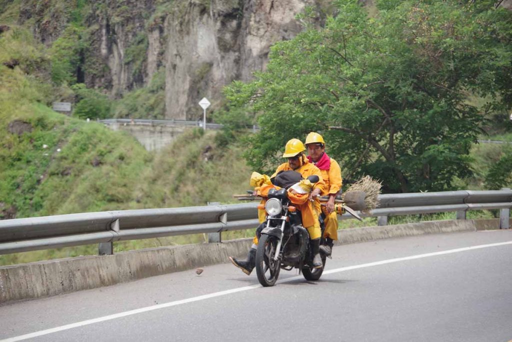
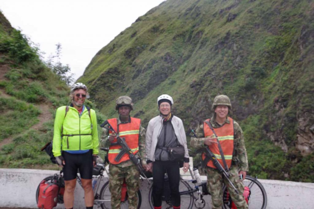
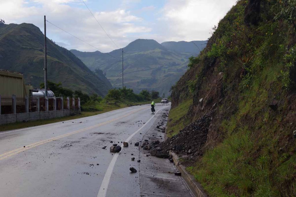
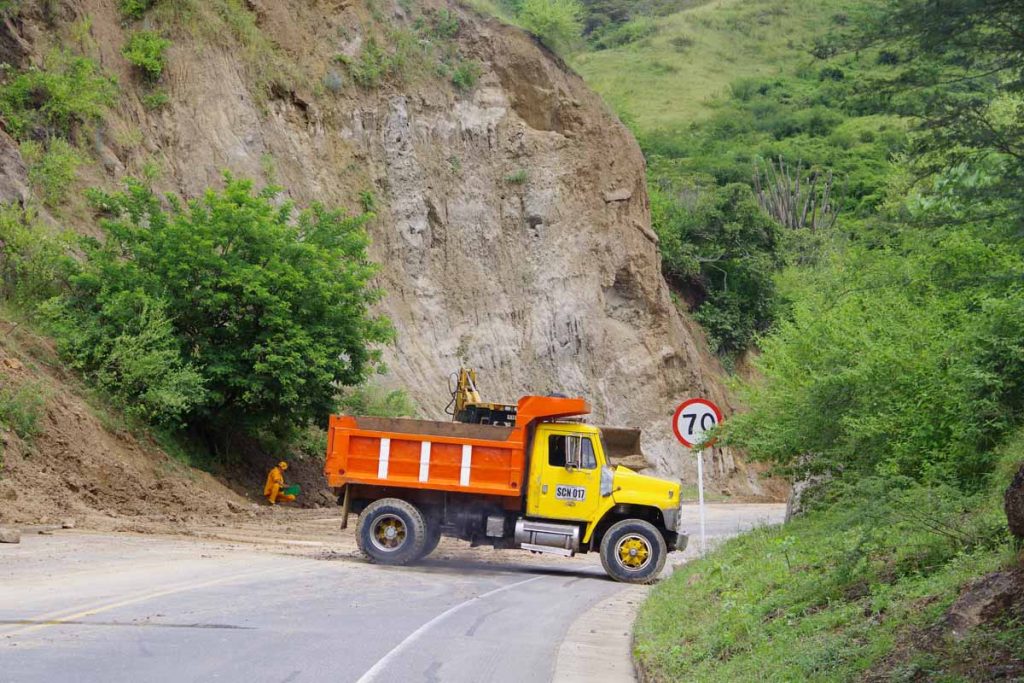
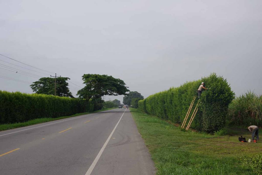
These road workers were sweeping up debris that fell onto the road.

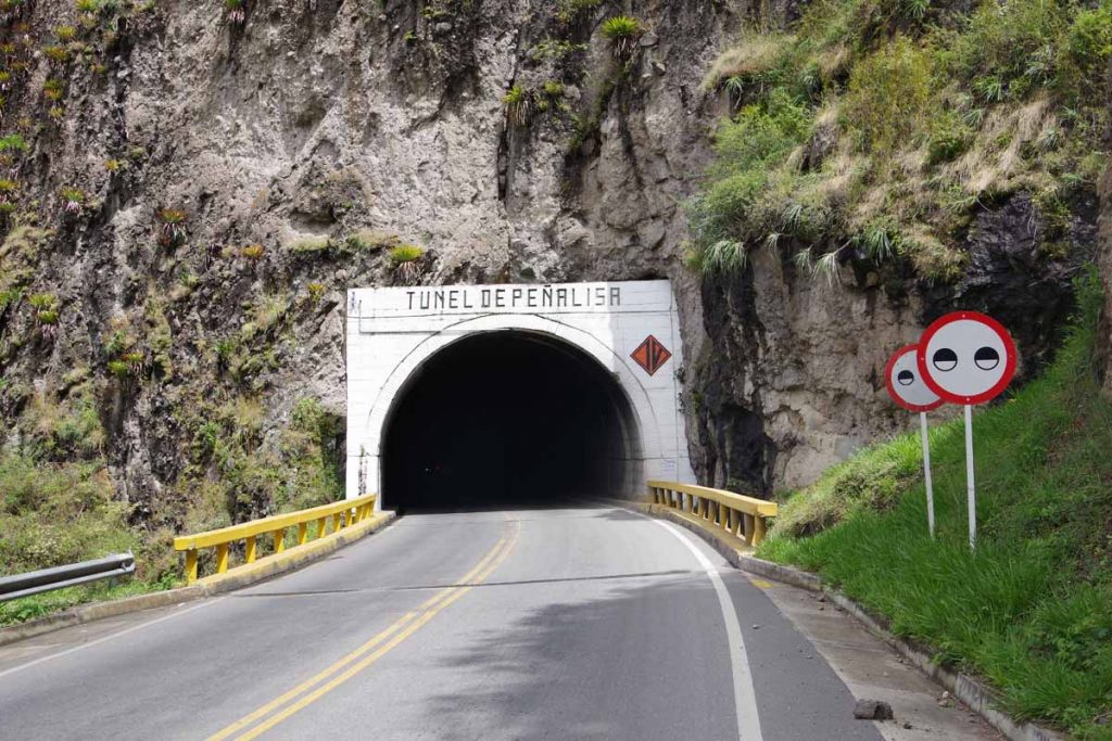
Second tunnel, this one on the way up, so a bit slower to climb.

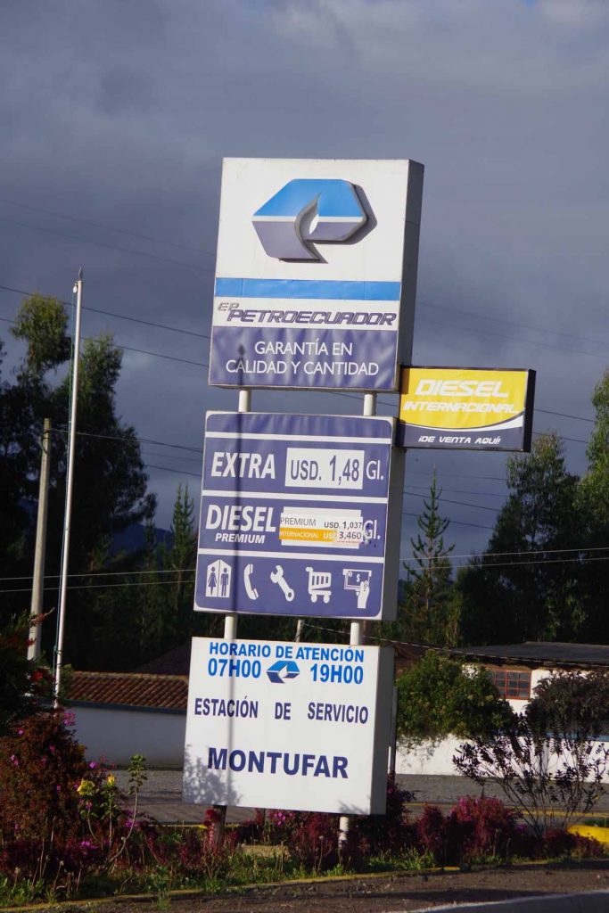
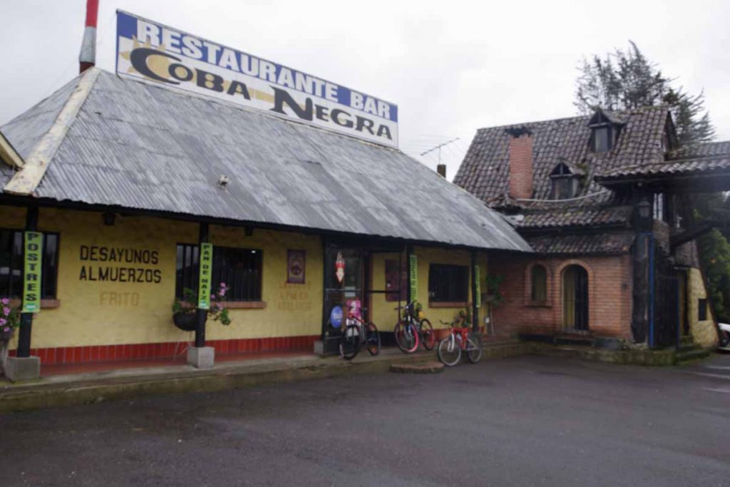
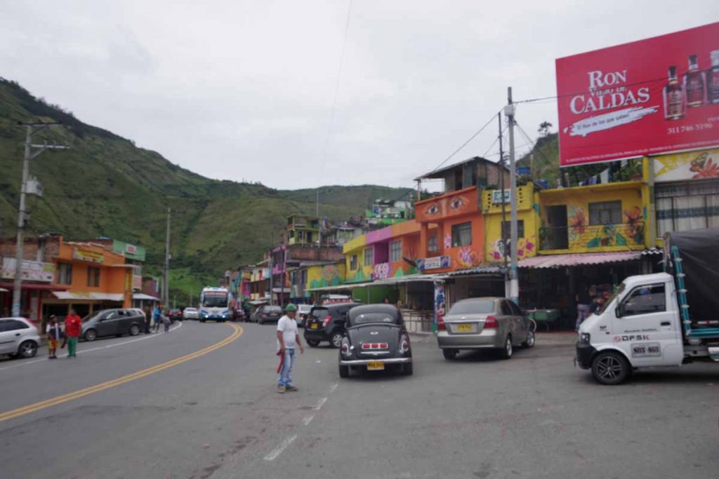
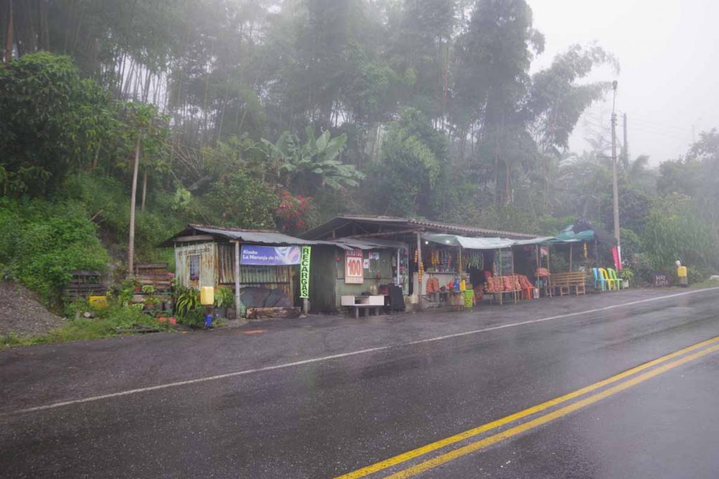
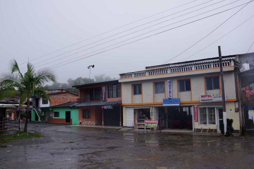
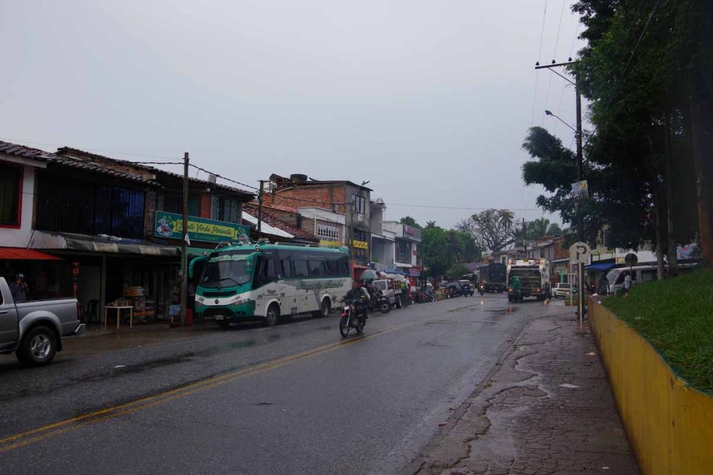
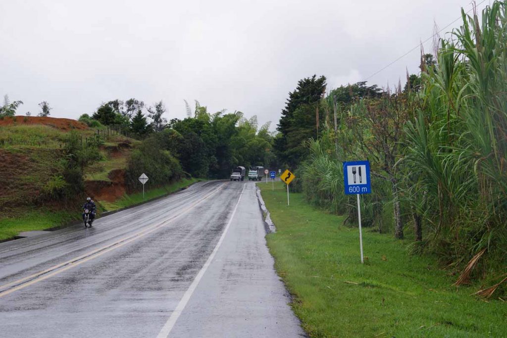
At 50km, first hotel or for that matter store. Not quite clear what the problem was, but I understood I couldn’t rent a room here.

Second hotel a little further had rooms but didn’t have a restaurant, so went a bit further.

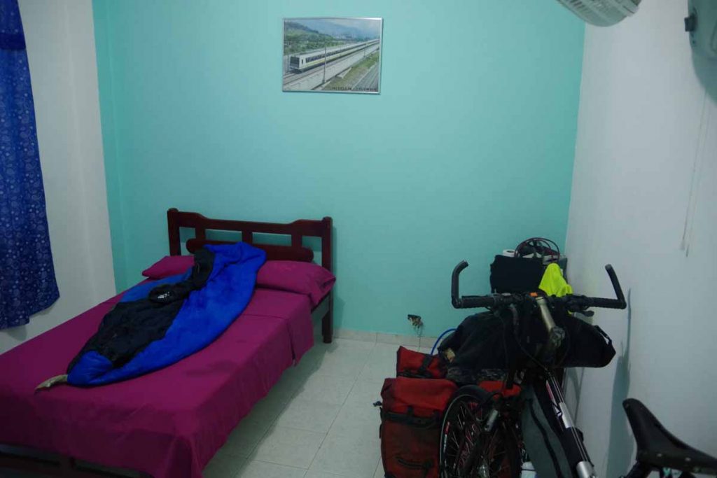
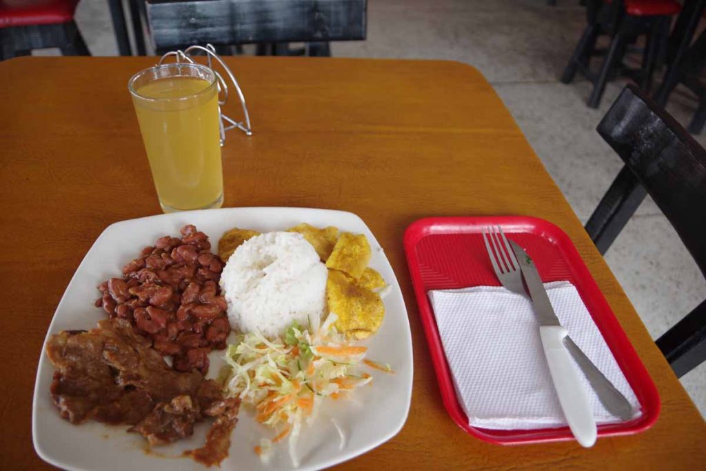
Third hotel had restaurant and rooms. No wifi, but can’t be picky. Overall, a long day of climbing but except for light rain starting and some showers along the way, it was reasonable cycling as well as not too hot.
Day Two
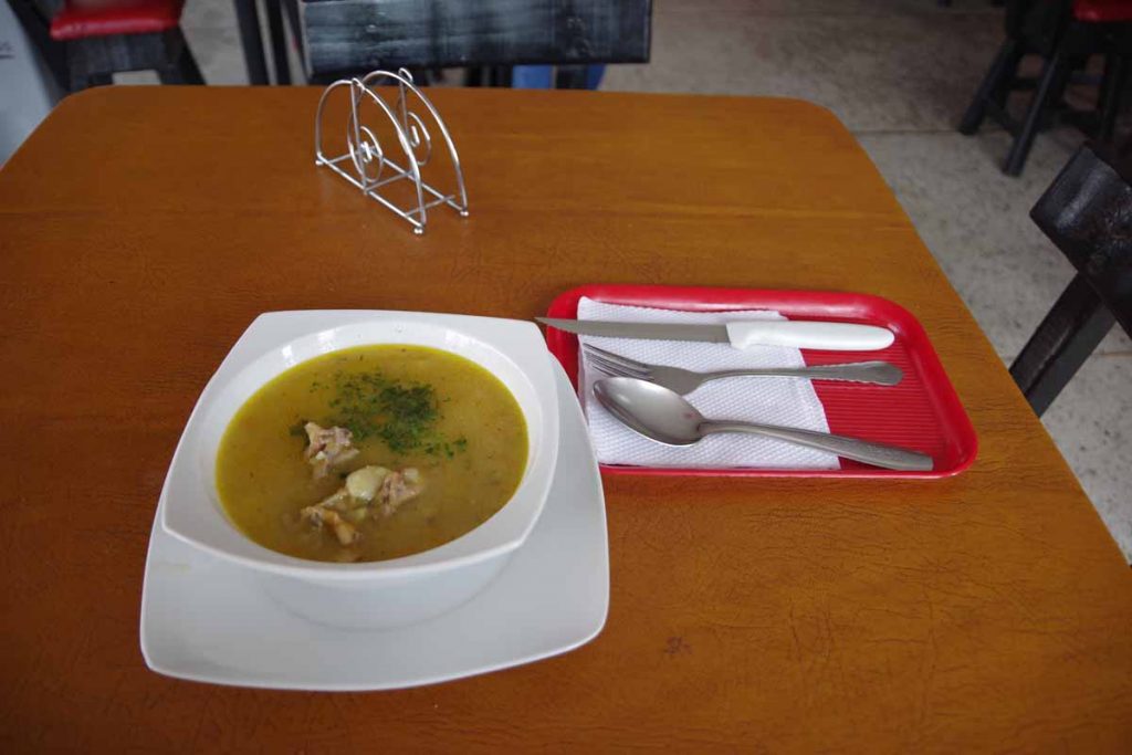
Wasn’t feeling 100% today. Had some tuna and crackers since I knew I would need energy for another 1000 meter+ climbing day. Stopped 6km in for a bit more to eat.

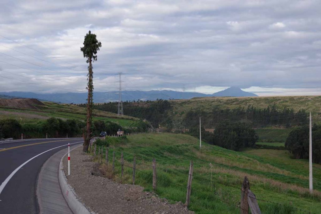
Today was only 31km, though all the climbing was in the first 24km. I was quite slow. Also noticed that my rear shifter continued to stick. Eventually I could get into lowest gears, but disconcerting since I use those gears a lot.

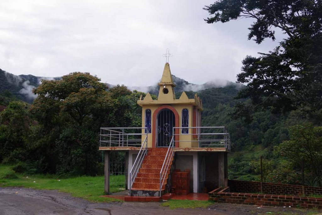
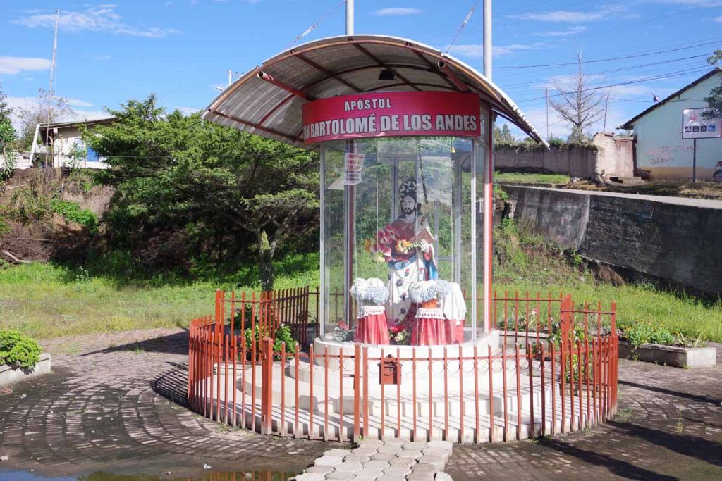
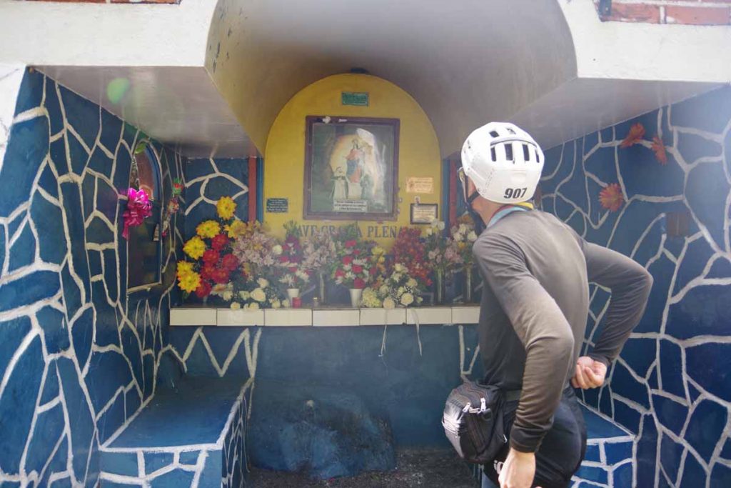
Small shrine on the way up.

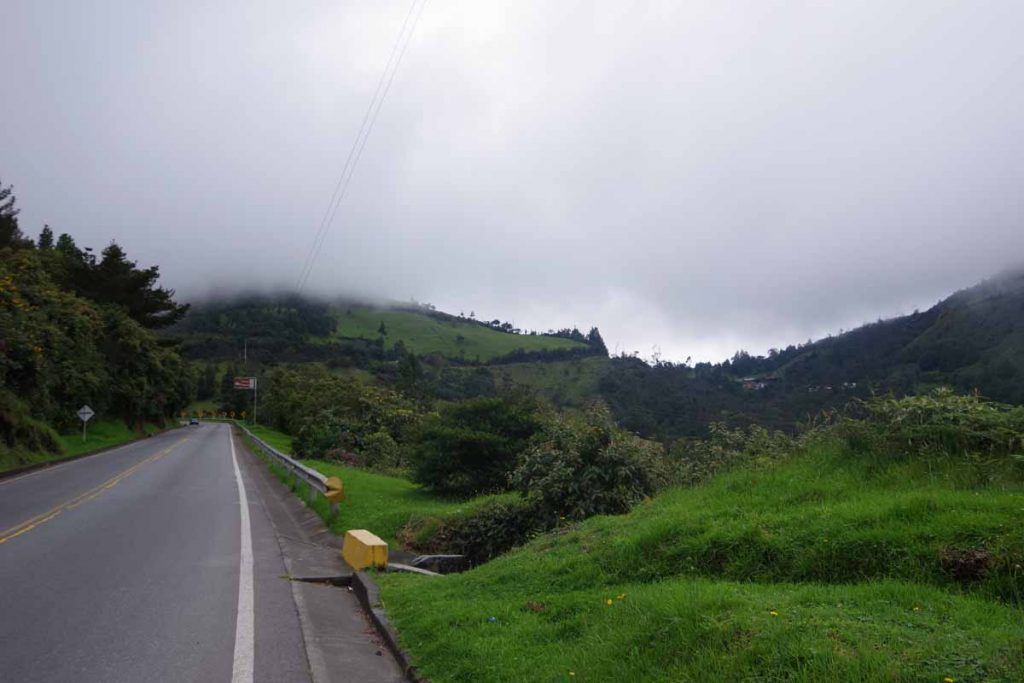
Up to the right, you can see the top!

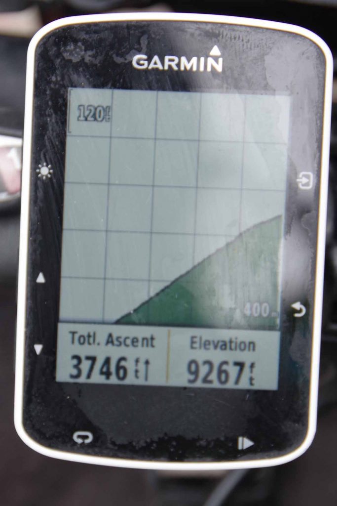
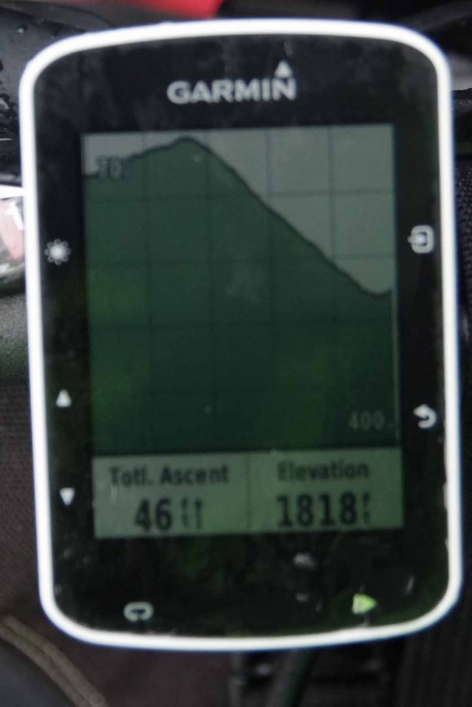
Odometer height shot, pretty much at the top. From here a nice 6km descent down into Pasto.

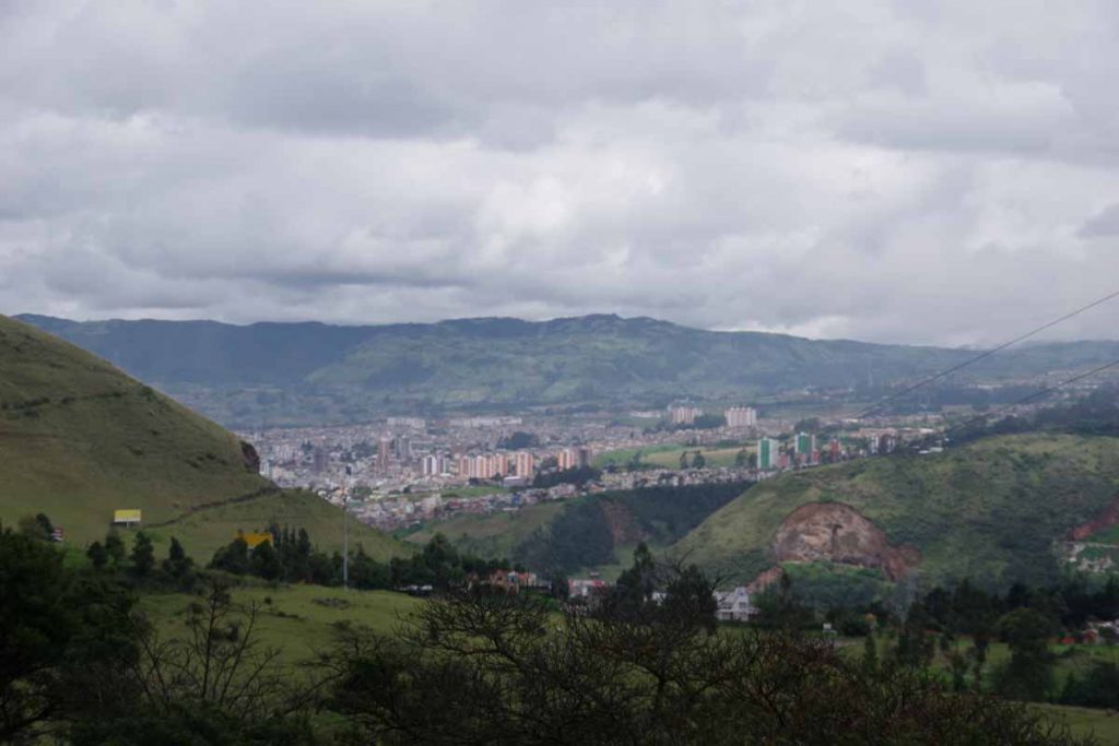
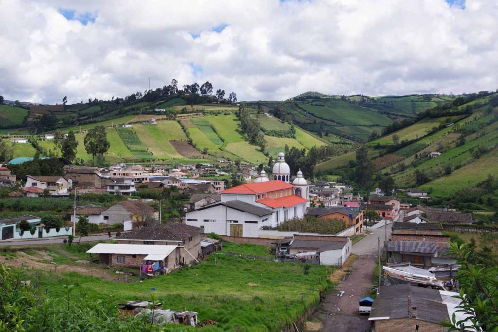
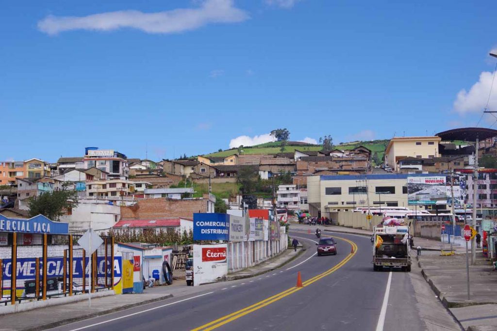
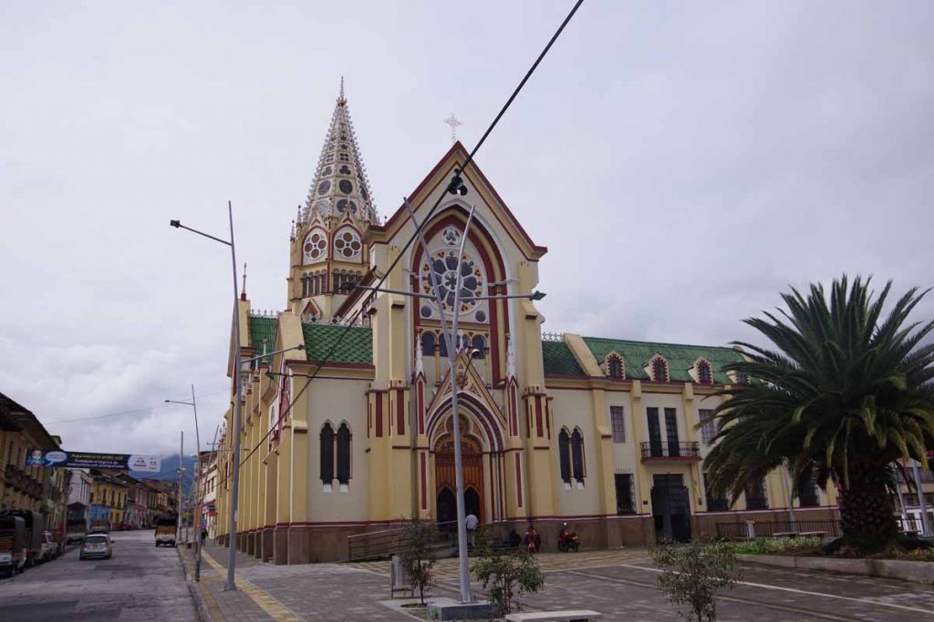
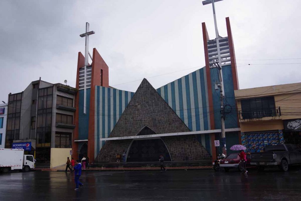
First view looking down on Pasto.

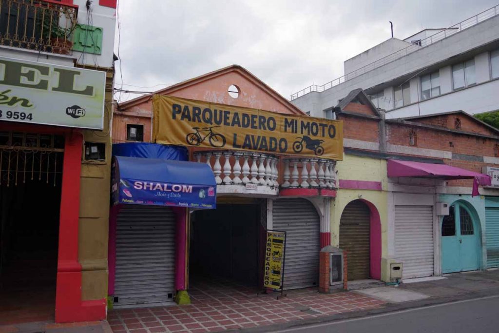
I looked in Google Maps to find spot with bike shops and found three clustered not far apart. The first one was closed, so I found a hotel first. This seems to be the business district with nice hotels. This one was a little more expensive (but still cheaper than US), but I was also motivated to have a hotel with both hot and cold water.

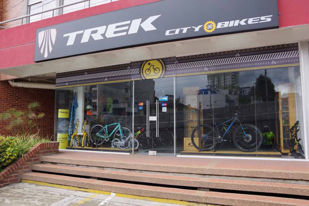
Afterwards, I went to the bike shops. Discovered they all seemed to close for a lunch siesta. Thought the first one would open at 2pm, but was then told it was 3pm.

Found the specialized bike shop nearby. Had them replace my brake pads. Rear pad had been worn and the clip had actually just gotten bent, most likely on the final descent into Pasto. They looked at the shifters, but couldn’t do much for them. Suggested getting a new set. They didn’t have them at this shop, but instead in center.

I got the sense, repair isn’t much of the business – instead it is mostly sales and assembly. When I asked for the price to do the repairs, I was told free. That didn’t seem right and asked three more times, but eventually got changes done without charge. Wow and thanks.

Second bike shop didn’t have shifters but suggested a shop downtown. Third shop does seem to have a shimano eight speed shifter and brake combination. I’ll sleep on it overnight, but otherwise likely have it replaced tomorrow – hopefully some peace of mind that these gremlins I see now, don’t turn out more serious.

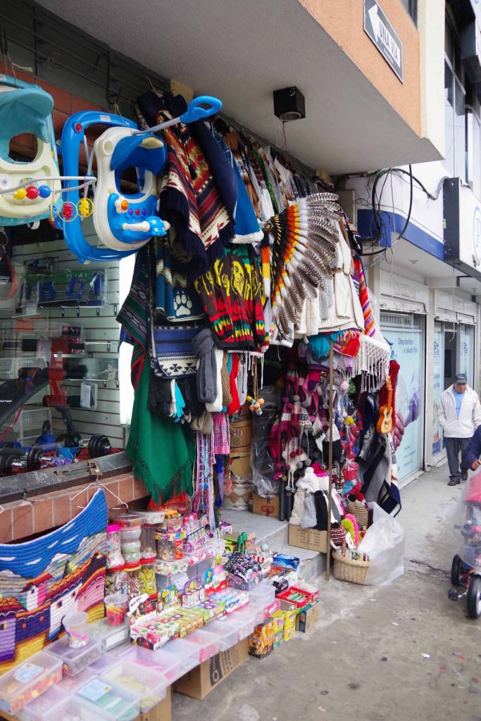
Otherwise, nice to be in Pasto, get some laundry done and otherwise get ready for restful rest day (Friday). Will likely move to downtown hotel for last night when Bert arrives via bus with his bicycle.

Posted in Colombia

Remolimo

A bicycle ride across the Americas Posted on 2017-05-09 by mev2017-05-09

Blue skies return, mostly, as I ride a “bouncy castle of health.”

There is a road in Southwestern Colombia between Mocoa (where devastating floods happened a few months ago) and Pasto (my next large city), named the “Trampolina de Muerte” (trampoline of death). It is supposed to be very scenic, very rugged, partially dirt and reputation as Colombia’s most dangerous road. Since I’m happier avoiding steep downhills, an easy choice for me to miss. However, it is popular with many cycle tourists.

I’m on the alternate route, which some bloggers described to nickname the “bouncy castle of health” (this one and this one). There were half a dozen shorter steep climbs and then descents on second part of the ride today – however overall not too difficult.

Today started with ~300m of descent from El Bordo. These anti-mosquito signs were posted around the town. However, the tire shop placing their advertisement is actually what they want to avoid, standing places for mosquitoes to breed.

A little further down. It was still misty, overcast and almost drizzle starting out. Thought I might have a repeat of yesterday dampness.

Blue skies ahead!

Turned out to be a really nice morning as the clouds lifted and I got blue skies and sunshine again. I was riding at elevation of ~600m but never did it feel extremely warm. The road was relatively flat until ~32km and after that started some of the bounces of the bouncy castle. In total I climbed a little over 800m today and ended up several hundred meters lower than I started.

At 40km, was settlement of Mojarras. After that the next 35km had almost no settlements and no stores. I stopped at intersection in Mojarras and was happy I got bite to eat there.

It was a beautiful road. You can see it along the distance. It wound along the hills and occasionally would climb a hill and descent to a crossing creek and them climb again.

There were some rock slides and this truck was clearing one of them up.

Not much after this, it started raining. Lightly at first and then a deluge let loose. It was raining hard enough that I got off and walked a short bit. Fortunately, just ahead there was small unoccupied cabin with veranda up front. I pulled my bike under the awning. A short while later, two motorcyclists also arrived as well as an automobile and a guy walking in the area.

We waited out the worst of it and 45 minutes later while it was still raining, I continued on to Remolimo.

Remolimo was nice little town with several hotels and also shops.

A photo of my room. This one is larger than most, but has nice spot to lean the bicycle against the wall. Sleeping bag is airing out because of rain earlier. Not sure why there is a train photo as art on the wall, but often these hotels seem to have random images. For example, lighthouses in one hotel nowhere near the ocean.

It took me a little to dry out, then a little to figure out how to turn the water on as well as get a working internet connection. However, nice to be in Romolimo now. My elevation is ~600m (2000ft) and hills between here and Pasto top out over 2800m (9200ft) so a lot of climbing ahead. I may have avoided a Trampoline of Death, but doesn’t mean flat route either.

Posted in Colombia

El Bordo

A bicycle ride across the Americas Posted on 2017-05-08 by mev2017-05-08

Another soggy day in paradise. My hands were prune-shriveled from the web when I finished. It was wet from mid-morning for entire day and only paused a little after I finished.

Left Popayan early with not much city traffic. With a few kilometers I was back on the main road to Pasto. It was busier and there was sharp lip between main road and shoulder so had to pick where to ride.

A lot of hills today, overall over 1000m of climb even though the net was a descent. I came through coffee growing regions and saw places where they had beans drying underneath covered awnings.

A number of these roadside places. By now it had started to rain more steadily.

At 40km was town of Rosas. I was still at same net elevation, but there was a 16km long downhill after this.

Was tempting to check into little hotel here, though also wanted to get some more distance.

Waterfall along the road on way down.

More restaurants, some mist coming on the camera lens.

Town of El Bordo was reasonable size and mostly strung along the highway. I had seen a hotel sign that I tried to follow from Google Maps. Went way back into town and there wasn’t a hotel there, so circled back to main road and found spot close to center of town. It was still raining a reasonable amount, but fortunately subsided not long after that.

Posted in Colombia

Popayan

A bicycle ride across the Americas Posted on 2017-05-07 by mev2017-05-07

Soggy afternoon in the white city. Today I got in before the rain really started. Yesterday there was no before as it rained most of the morning. I am back to climbing including 1700m split between the last two days.

Day One
Squish, squish, squish. Wet day riding today as well as a lot of little hills.

Today started with drizzle, turned to rain. Went briefly dry and then turned back to rain. It was nice to have a rest day as felt fresh on the ride back. In contrast to earlier, now back to hilly regions as climb back through hills. Overall >1100m of climb in a short distance today.

Lots of water riding today.

Notice that the buses are becoming more colorful again. Not quite as colorful as Central America but more so that rest of Colombia.

Some of the little towns coming up. Still a nice wide shoulder.

Cute church sign on the way.

I had one short break at 26km and then was happy to see the hotel sign coming up. Knew of this roadside gas station hotel from other blogs and wasn’t quite as sure about Piendamo so made it a shorter day.

Best thing was to discover that the hotel had hot water. Nice to get clean but also to get warm again.
Day Two
Nice little hotel last night. There wasn’t wifi and even the phone signal was weak. However, it had good restaurant and small store nearby. It was sort of place that catered to truckers stopping the night.

This morning a photo of hotel from outside. I left before there was breakfast but had some crackers. Today there was ~600m of climbing though still ended up at same elevation as I started. A lot of little ups and downs and several longer grades.

Signs now giving distances to the border.

It is Sunday and I saw a few of these churches such as the Pentecostal church. Music coming from inside and also people just arriving.

Sundays are also cycling days and there were many riders on the road. One cyclist came past, had some remarks about the long hill. Not long thereafter his bike was upside down with a failed derailleur. Fortunately, there was a pack of cyclists coming past that had a support vehicle and we were able to get him a ride in short order.

This guy was getting the meat ready for the grill, while his friend was carrying the sign to post for roadside business. Saw several places that seemed to advertise special menus for Sundays and holidays.

The last kilometers brought me through urban Popayan and then followed signs to centro. This church was right off main square. Found a slightly pricey but nice hotel not far from the square. Not long after arrival, several rain showers came through again.

These guys were doing best to avoid the rain.

Church across the street.

Inside of the church. Shot in HDR mode, so brings out more of the range of colors.

More typical Popayan street downtown.

Overall nice to get to this town after two hilly and wetter days. Noticed that my front derailleur doesn’t shift into largest chain ring. I don’t use that much anyways, though if the barrel adjuster doesn’t tighten the cable enough, might look for bike shop in next larger town (Pasto). Popayan shops seem to be closed for Sunday.

Also time to review the blogs to see likely stopping points the next days from here to the Ecuador border.

Also noticed that cumulative mileage happens to be 16,094 kilometers or just at 10,000 miles.

Posted in Colombia

Santander de Quilichao

A bicycle ride across the Americas Posted on 2017-05-04 by mev2017-05-04

Third day of flat riding through sugar cane. However, have reached end of flattest part of the valley and back to hills after that.

A nice small hotel yesterday. I ended up taking off my front wheel to fit it into the room. Last night I was sitting with my weight in middle part of double bed when board underneath broke. Oops. Not too crooked to sleep on overnight, but this morning I showed it to the owner.

Today was almost exclusively sugar cane and not corn, pineapple, cattle or other crops. These guys above were trimming a large hedge surrounding a sugar cane field.

An example of an oversized gas station that also includes a restaurant and small hotel. Not every gas station has this, but does appear along the main roads. I ate a late breakfast at another one of these.

Flat riding with more sugar cane.

Football practice. Not long after this was a small town.

As I got closer to Santander, I could start to see the slightest hills in the distance. Apparently road from here to Popayan has a fair amount of rolling hills, so figured Santander would be good place to stop.

A typical lunch plate. Somehow, find it just a bit more difficult to communicate with Colombian Spanish than Mexican Spanish. So, I’m not always 100% certain of what I’ve ordered. I’ll ask for a plate (plato) and if it comes with things like salad (ensalada), rice (arroz) and beans (fijoles) as well as some form of meat (carne). I’ll usually end up with some variation of the plate above. This one also came with lemonade.

Soup was also included. Price today was 7,000 pesos or $2.50. That is on the low end of a meal cost, but it isn’t often that the price goes more than 20,000 pesos.

Posted in Colombia

Candelaria

A bicycle ride across the Americas Posted on 2017-05-03 by mev2017-05-03

A ride through flat sugar cane country.

Sometimes a hotel has hot and cold water. Sometimes it only had cold. Yesterday was first time a hotel had no water. Apparently, there was an outage in the city. Fortunately, by evening they had solved that issue.

This morning I left middle of Tolua. Passed this combination parking and washing for motorcycles and bicycles. After a few kilometers I was back to the main road.

Noticed the pedestrian overpasses specifically have a sign to let you walk your bike up the ramps.

Pineapple, sugar cane and corn were the predominant crops. Of these, sugar cane was most prevalent.

Near 40km there was a gas station with light house and restaurant. This was good spot for a break.

Interesting to find this sign all in english about poultry and pigs. I see chickens running around all the time, but hadn’t noticed much in way of pigs.

These large “tren caƱero” or sugar cane trains, often have four or five trailers behind. Definitely notice when these pass on the road.

There was a bunch of other tractors and agricultural equipment as well.

This sign shows the choices I had at end of the day. Palmira was my default if the weather was poor. I could either go through large city of Cali or bypass it on road via Candelaria. I decided on the bypass road and at 86km, finished in Candeleria.

I cycled to the park downtown, but ended up coming back to a hotel on the main highway.

Nice statue in the park.

I have a little more of this flat valley left, but soon the road will climb out of the valley again as it continues south via Popayan.

Posted in Colombia

Tulua

A bicycle ride across the Americas Posted on 2017-05-02 by mev2017-05-02

Wet roads starting out. Wet roads finishing up. In between a flat day riding under sunny skies.

Had breakfast in the hotel before going back to the main highway. All day was riding on two lane divided highway. It wasn’t limited access, so lots of little places along the way. The road was still wet and occasionally some mud splatters to streak things.

It was an agricultural area with cows as well as corn and sugar cane. Interesting to find these white birds often with cattle.

This was soccer field in small village I passed. A good overview for the day: slightly soggy field. Lots of sugar cane and otherwise flat.

Love potion for sale. Seemed to be multiple places in this village all selling some variation.

By now the sun had come out and was turning out to be a nice day. Interestingly the signs have changed from citing specific genus and species of animals to a very generic sign warning of “native animals”.

In Colombia, motorcyclists have their license plate numbers on their helmets. With multiple passengers on a motorcycle, often more than one helmet has the license plate number.

I had lunch at this large cafeteria style restaurant. It was located in between the lanes of alternate traffic. No need for walls as there isn’t much seasonal variation in temperature. This area is around 1000m high so not quite as hot as the lowlands.

Sugar cane.

As I got close to 90km, I went into center of Tulua. It was a busy crowded little city. I had picked several hotels from the internet and second one looked reasonable. Otherwise, nice to be in middle of one of these Colombian towns.

Posted in Colombia

Post navigation

← Older posts
Newer posts →
©2025 - A bicycle ride across the Americas - Weaver Xtreme Theme
↑