↓
 

A bicycle ride across the Americas

from Deadhorse (SCC) to Ushuaia (USH)

  • Home
  • Plan
  • Blog
  • Photos
  • FAQ
    • Why?
    • Where?
    • What next?
  • Map
  • Equipment
  • Calendar
  • Countries
    • USA
      • Alaska
      • Montana
      • Wyoming
      • Colorado
      • New Mexico
      • Arizona
      • California
      • Texas
    • Canada
    • Mexico
    • Guatemala
    • Honduras
    • Nicaragua
    • Costa Rica
    • Panama
    • Colombia
    • Ecuador
    • Peru
    • Bolivia
    • Chile
    • Argentina
  • Weather
  • Links
  • Contact
Home→Categories Canada - Page 2 << 1 2 3 >>

Category Archives: Canada

Post navigation

← Older posts
Newer posts →

Frasier Lake

A bicycle ride across the Americas Posted on 2016-08-07 by mev2016-08-07

The terrain today was a little flatter. Today a slightly longer ride both in terms of distance and time.
IMGP3264
The first ten kilometers started with a climb up to the top of Six Mile Summit. Here you can see the final approach on the hill. It was only ~3km but got a bit steep towards the end. There was a chain up area at the bottom and a chains off at the top. Nice to get that out of the way at start of the day.
IMGP3265
Here is the top of Six Mile Summit.

In the rest of the day there were two or three short steep hills but overall the land was becoming a bit flatter and there were also long stretches of flat land.
IMGP3267
Some areas of agriculture such as these with large hay rolls.

Once I crossed Six Mile Hill the rest of the ride into Burns Lake at 52km went fairly quickly. Signs indicated there was repaving and I saw some newly paved pieces but fortunately no construction on Sunday. Once in Burns Lake, I met up with Jared Lester. Jared is working in town for BC Wildfire Service – as a summer job before he goes back to school in the fall. We both cycled TDA in 2013, though Jared was a stronger/faster cyclist and was able to ride every inch of the designated route. He was 18 then and youngest rider in TDA 2013. Nice catching up with him.
IMGP3268
I call this a “joint mug shot”, taken by convenience store clerk, though we’re both smiling.

After that got some lunch and then headed out. There weren’t too many places to stop very nearby, but figured I wanted to at least get close enough to Vanderhoof that I could reach it the next day. The route went up and down past the lake but continued to be somewhat flatter than previous days. The travel lane was nice and smooth and sometimes the chip seal shoulder was extremely rough – hence I alternated between riding in the shoulder and on the white stripe.
IMGP3270
One rest area had this cairn with an inscription (below) that suggested the main stone had once been part of the castle where King Arthur was born. If so, who and why was motivated to bring that stone here to middle of BC?
IMGP3269
Here is another small lake. The signs indicate “Lakes District” and there are several larger lakes out here as well.
IMGP3273
At 108km was Endako where the only business was this roadhouse. Just the right time and place to have an early dinner here. At 108km, I hemmed and hawed about stopping here and renting a room upstairs. Finally decided to go just a little further and cycled to Frasier Lake at 121km to end the day.

Posted in British Columbia, Canada | Tagged Jared, Six Mile Summit

Topley

A bicycle ride across the Americas Posted on 2016-08-06 by mev2016-08-06

Nice to be on the road again after a week in Smithers.
aIMGP3258
Fewer big peaks to pass by today as the landscape flattened out some. However, still some hills to climb up and over as the road mostly followed the Bulkley Valley.
IMGP3253
Foggy in the morning as I started out. The road sign gives a good idea of the overall agenda: Houston for lunch, Topley as destination and Prince George in a few days. The bike rode well and even “clicked” as the spring forced the new pawls out. I could definitely notice the difference and had no skip issues today.
IMGP3254
Photo above shows some of the sometimes large things that are moved on the road. Something this big has a pilot car, but things only somewhat smaller pass with mostly just a “wide load” sign. Fortunately, a reasonable shoulder on the Yellowhead Highway and traffic is also considerate.
IMGP3255
At 15km was Telwaka and shortly after that was what looked like some cabins with the following sign out front. Of course had to get a photo of this which is second time I’ve seen a bicycle-specific welcome sign (the first was on Cassiar Highway before Irkut but it was cold and rainy and I was concentrating on keeping warm).
IMGP3257
Also not too far from Telwaka was a rest area that had some signs including this one about an overland telegraph. It surprised me that bridging the Pacific would somehow be seen as easier than bridging the Atlantic. However, also gave good idea of importance of telegraph lines a little over a century ago – perhaps equivalent of “fiber” today.
IMGP3259
Close to 25km it began to rain for a while. The road also had a few hills to climb over. Fortunately, it was mostly done by 35km when I caught this cyclist coming down the hill. He was headed to Juneau. I asked about hills and he indicated the one he had come down was the largest. Shortly thereafter was a somewhat steep ~3km and then flatter ~5km to reach top of Hungry Hill.
IMGP3260
After climbing the hill a good descent back to the Bulkley River and I was nearing Houston. The road shoulder had some more debris, particularly rocks and parts of logs – but was mostly still rideable. Without too much difficulty made it to Houston for lunch.
IMGP3261
A claim to fame for Houston is the “World’s largest fly rod” as shown here outside the visitor center. The power was out so one restaurant was closed but Subway was able to make sandwiches. Had a sandwich and took a leisurely lunch before getting back on the road.
IMGP3263
Passed kilometer post 420 (no sign) and then 421 (sign), on a road that normally places signs every 5km. The last 30km was mostly flat with a slight uphill grade as the road followed the drainage uphill.

At 93km was turnoff to Granisle and a store, motel and closed restaurant. I didn’t expect much in next 50km until Burns Lake so figured it was good place to stop for the day.

Posted in British Columbia, Canada | Tagged fly rod, telegraph

Smithers, hub fixed

A bicycle ride across the Americas Posted on 2016-08-05 by mev2016-08-05

Hooray, my bike is ready to go again.

I had been checking the UPS tracking numbers and was getting a bit concerned that by middle of the day, the last status was still “arrived in Prince George”. Hence, decided to stop by McBike just in case and was pleasantly surprised to discover the hub parts had been delivered in the morning. They were almost done with the bike since I had also asked for replacing worn cassette and chain as well.

I just picked things up and the bike rides well and appreciate Phil Wood for sending up the parts under warranty and McBike for their work in getting me going again.

Below is an image of the broken hub part to briefly describe what failed. The end view shows five pawls that normally stick out one direction engage in a ratchet wheel to drive the hub forward. When one spins the other direction, these pawls stay pushed in to let the hub spin freely.

The problem was that the pawls were getting stuck in the “disengage” level and the hub was spinning freely in both directions. Not particularly useful when you want the hub to engage and let you drive forward. When the chain “skipped forward” perhaps one pawl was missed and when it rotated freely all pawls were missed.

The second picture gives an end view including the spring that sits in middle of the pawls and provides pressure to help keep the pawls popped out so they will engage.

What appears to have failed is a combination of the spring no longer pushing the pawls back out and the pawls themselves getting stuck in off position. Perhaps one contributing factor was the grease getting dirty/contaminated so providing extra help in keeping the pawls stuck. Phil Woods send an extra version of the freehub body as well as some grease, instructions. In addition since we weren’t 100% certain if I had a four-pawl or five-pawl hub, they sent some extra pawls. The replacement pieces were sufficient for mechanic to fix things.
IMGP3252
IMGP3251
One thing I’m thinking in future is carrying an extra freehub overhaul kit as well as perhaps learning a bit more on taking hubs apart to put in fresh grease.

In any case, happy to have things fixed and be ready to ride again.

Posted in British Columbia, Canada | Tagged hub, pawl

Hanging out in Smithers

A bicycle ride across the Americas Posted on 2016-08-04 by mev2016-08-04

Tired of seeing Smithers photos? I’m not quite tired of taking them, though will be happy once I’m on the road again.

I’ve had a quiet past several days and also have done some exploring of the area. Right at start of Monday morning I called Phil Wood service and had a ~20 minute conversation with Leroy about the broken hub. As part of that call and several follow up emails back and forth, the plan emerged. Phil Wood has sent the replacement hub parts (under warranty, thank you) via UPS and now the waiting is for an expected Friday end-of-business delivery. The latest tracking shows the package has reached Prince George, ~375km from here. Hopefully all is well and McBike gets it installed and I’m able to depart on Saturday, also on my way to Prince George.
DSCF1251
On both Tuesday and Thursday, I rented a mountain bike. On Wednesday, I did more walking around town.

I traveled north to point where the hub failed and then cycled my way back, partially so I could see the missing section but more from my bike. I also stopped by the Lesters. That takes some explaining: in 2013, I cycled Tour D’Afrique across Africa along with Jared Lester and ~50 other people. Jared is a strong cyclist, a real nice guy, and at 18 was youngest cyclist on the trip. However, he works for BC Wildfire service and hence wasn’t in town. Jared had volunteered his families assistance if needed. I didn’t need, but instead just made a courtesy visit while I was here. I had met his parents when they came to Capetown at finish of TDA. Still hope can intersect with Jared either later or during my travels from here to Prince George.
DSCF1259
Here is a photo of Smithers Main Street, this time with the flag of Poland and of the Netherlands. They had a number of other flags displayed this day as well.
DSCF1260
Here is the mountain bike I rented. Nice 29er, full suspension bike. I also rode up to the trailhead for Twin Falls, a local recreation site just north of town. The road to Twin Falls gets slightly steep at the end and then there is a short trail to a viewing platform.
DSCF1263
Here are the twin falls from the viewing platform. Note that they aren’t quite identical twins since the water from the left fall seems much more than from the right.
DSCF1264
A number of businesses of which this one struck me as a typical one catering to those traveling with RV. A combination of large RV-sized car wash, showers and laundromat. Before leaving will stop by laundromat again and make sure everything is clean.
DSCF1267
One nice part of Smithers is the “perimeter trail” a mostly connected set of paths through the woods that can be followed to ride around Smithers. Some are nice forest paths like this one, some are rough rocky paths, one section was closed and some sections are on-street bike paths. However, get a sense of Smithers as being bike friendly with racks placed downtown and facilities like these paths.
DSCF1265
I’ve stayed in motel, but there is also a nice community campground down by the river.
DSCF1266
Photo of the Bulkey River, not far from that campground.

Overall, have gotten a chance to get out most days and even do some cycling with a rented mountain bike. All this while occasionally checking the delivery status as the package slowly made its way north. Hopefully tomorrow the package arrives and then we see about getting things fixed and moving further again.

Posted in British Columbia, Canada

Smithers, weekend update

A bicycle ride across the Americas Posted on 2016-08-01 by mev2016-08-02

Quiet weekend in Smithers. Talked with Phil Wood this morning (Monday) and they are investigating possibilities. Will update below about the hub as I know more. Today is British Columbia day, a public holiday with shops closed – so seeing what sorts out before going to McBike and Sports tomorrow on whether to take Plan A (fix existing hub) or Plan B (build replacement 36-spoke wheel).

UPDATE: Thanks to Phil Wood, they have sent a hub cassette here to Smithers. I have a UPS tracking number and an expected Friday delivery. Hopefully McBike can get things installed and after that I’ll be back on the road again. A bit of delay, though Smithers is a nice place to have that delay. Will look for different items here including perhaps renting a mountain bike and riding back to cover the missing 17km link.

A relaxing weekend and if I have to be stopped, then Smithers is a rather nice town to wait. I am two blocks off the main street with little shops. Below are some more photos of the town. Of course at some point frustrating to not be able to proceed, but have to give things time to sort out.
aIMGP3241
Here is the alpenhorn guy at entrance to Main Street. Smithers is in a valley with some tall peaks to the west and some shops on Main have an alpine theme.
IMGP3236
Tim Hortons, Canadian Tire, laundromat, McDonalds, traffic lights, etc. This is largest town since Whitehorse.
IMGP3237
McBike and Sport. A pretty complete and full-sized bike shop. Have my bike there for a tuneup and to help replace the hub.
IMGP3238
Town library at end of Main with mountains in the background.
IMGP3240
Mural describing the months of the year from perspective of Smithers.
IMGP3242
Saturday morning is farmers market. By far the longest line was for a bakery with good bread and other goods.
IMGP3245
Local coffee place that opens early.
DSCF1251
Local scenery. Look close and you can see the train.

Posted in British Columbia, Canada

Smithers, finished the Cassiar and started the Yellowhead

A bicycle ride across the Americas Posted on 2016-07-29 by mev2016-07-29

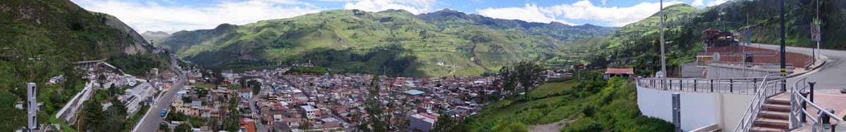
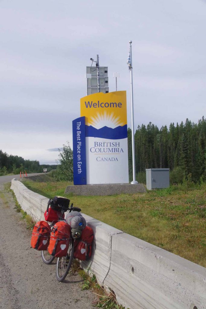
After five days of cycling along the Cassiar and one day cycling the Yellowhead, I am now in Smithers. Little to no working wifi connections have caused this to be collected together in one post, so I’ve labeled them by day.

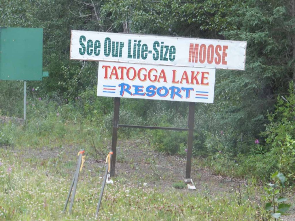
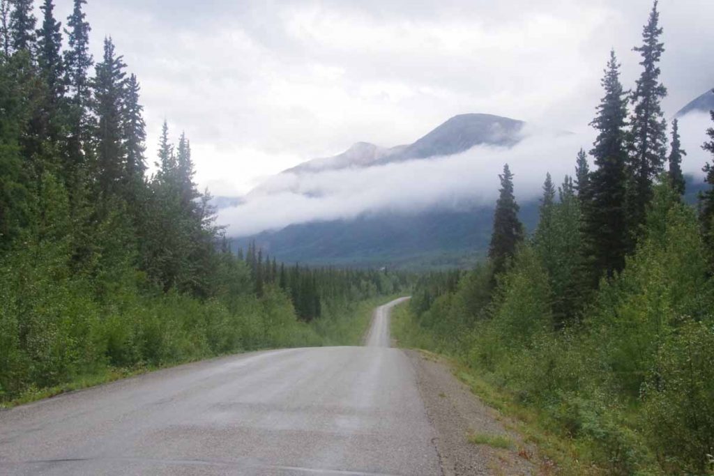
Tatogga to Bob Quinn (day 1)
Sometimes paying attention to the weather forecast can be a bad thing, particularly when you can’t do much about it. It rained overnight at Tatogga Lodge but was dry by morning. Internet weather forecast was for 15-25 km/h from the SSW or in other words headwinds. For several days following it was 10-15 km/h from the SSW, hence first day was strongest but headwinds for foreseeable future. I figured I would split the 141km to next point of civilization (Bell2) into two days.
IMGP3144
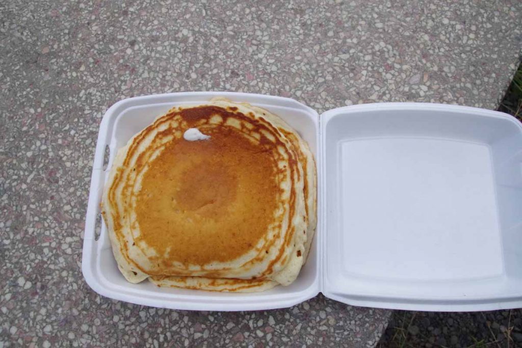
Breakfast didn’t start until 8am and things were pretty relaxed. Very friendly and nice service, just not the quickest. Started with bowl of yogurt and then an omelet. When they said, “we don’t have hashbrowns, how about a small pancake instead”. I replied with how about two? Unfortunately, my eyes were bigger than my stomach and I ended up with extra container to carry those two large pancakes.

The wind was already going when I started. Undoubtedly some psychology and some hindrance, but I was slow going. At 25km, I came across a nice (and recommended) provincial park, Kinesaw but it was too early to stop yet. There was a rest area with pit toilets at Eastman at 47km where I had lunch including those extra pancakes. Mmmm…
IMGP3147
I had lunch at same table with two couples traveling in campers. The wind blew the tablecloth every which way. I looked around see see how suitable Eastman might be as a camp site: good clean water – check; nice spots to camp? – sortof; far enough in the distance – not quite since that meant 94km the next day. So after some hemming and hawing, set out on the road again.
IMGP3149
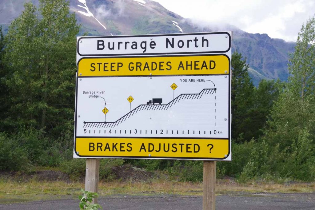
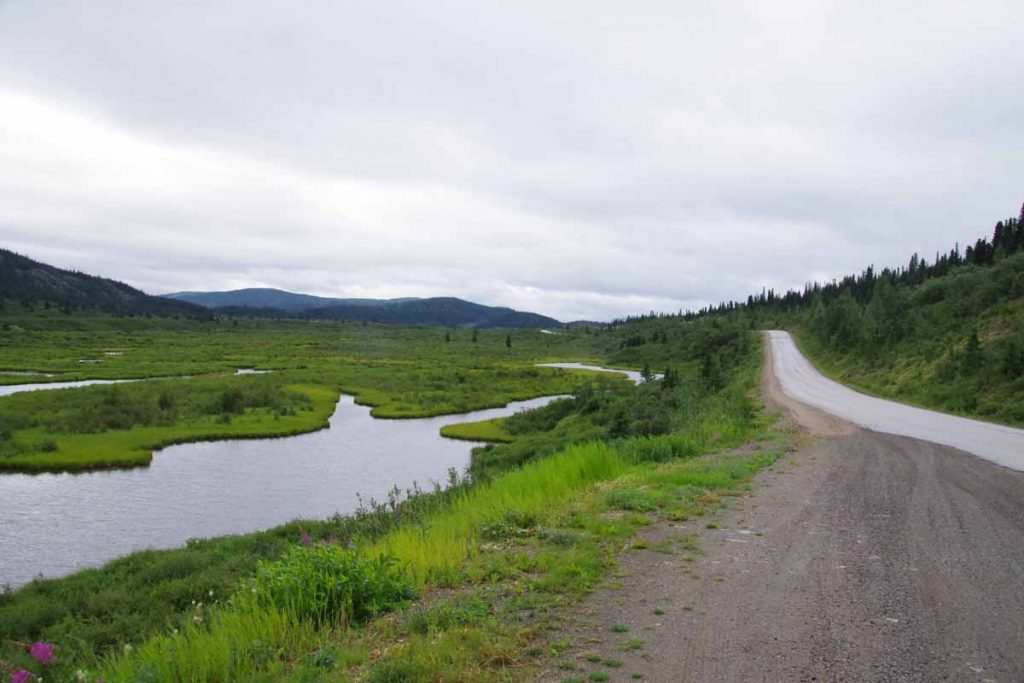
There was reasonable descent and climb down the Burrage river and then back on the other side. At this point I had 60km done and figured I would stop and the next nice stream I found. Unfortunately, none of the streams were particularly suitable. First one had a high bridge and water way down 20-30m below and not an easy way to get to it; next one didn’t really have good camp sites. I was picky but also kept going. Fortunately at some point the wind was also less.
IMGP3152
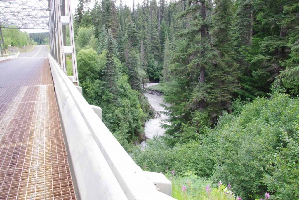
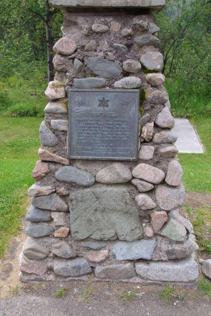
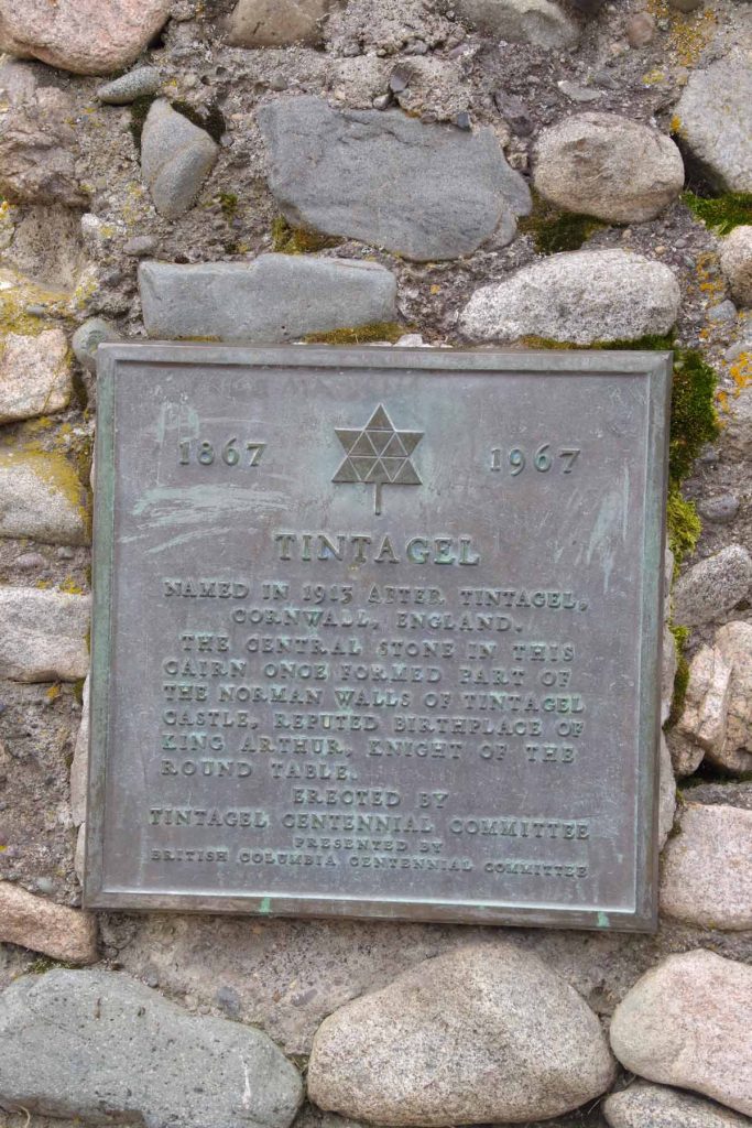
Above is example of the “Devil Creek”, though the name should have been a giveaway as being a raging torrent.
IMGP3153
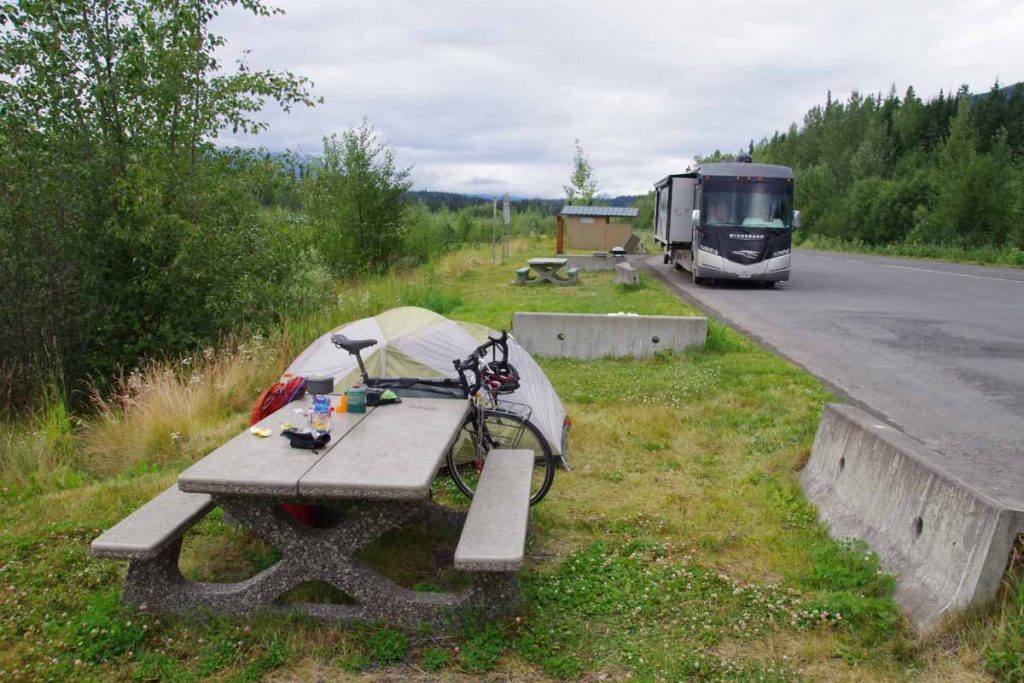
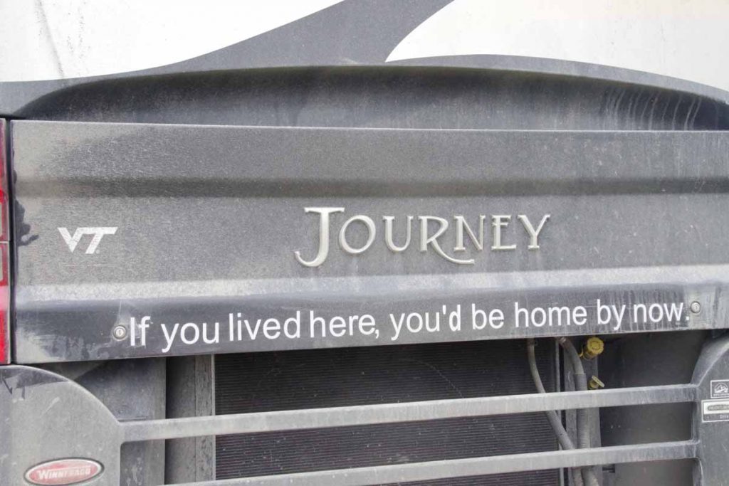
Finally as I got close, the Bob Quinn Rest area at 94km was a pretty nice spot. There was small creek less than a km away and a picnic table, pit toilets and bear proof litter barrels. Turns out there were two other campers there as well. One in a large RV and one in a smaller camper. The large RV had slogan below, which I thought was cute. Perhaps see if I can get similar sign for my tent?
IMGP3156

Bob Quinn to Bell2 (day 2)
Not much wind overnight and fortunately mostly calm when I awoke. Despite forecasts, wind was not a big deal today and it was otherwise a short ride of only 47km.
IMGP3157
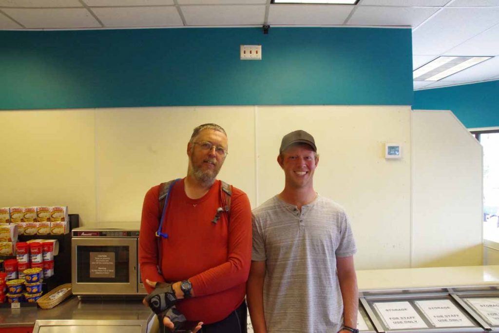
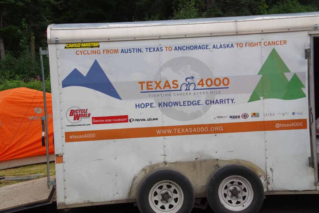
These folks from Connecticut wanted a photo, so I got one of them as well. They also told me there was a large cycling group “from Houston” they had seen earlier. I thought it might be Texas 4000 but wasn’t sure.
IMGP3158
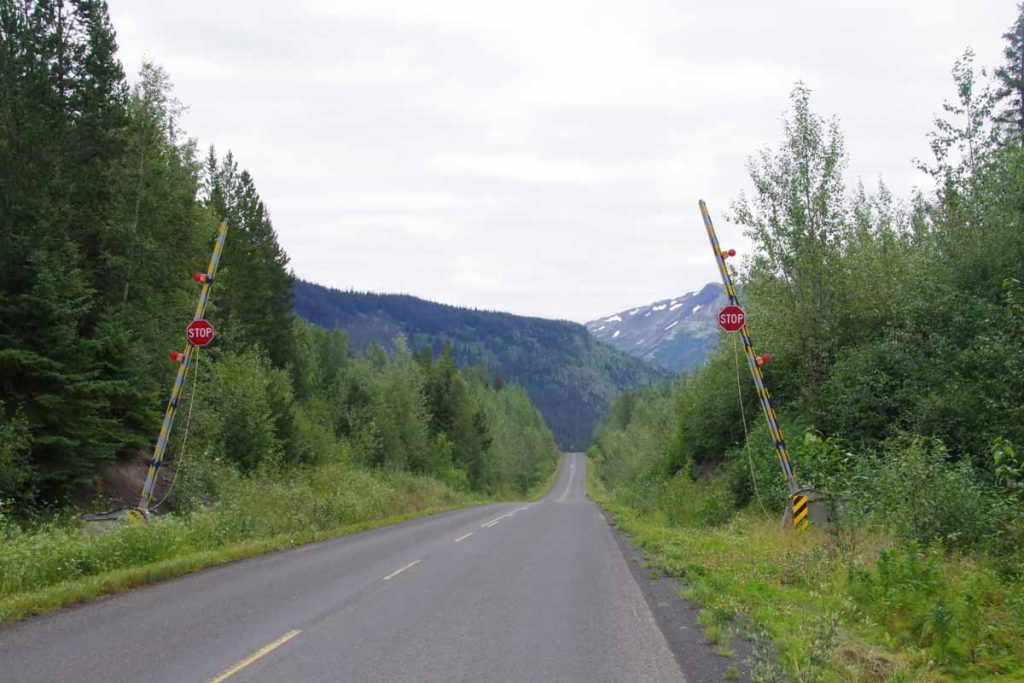
The gates above are “avalanche gates” so the road can be blocked in winter if an avalanche has blocked the route. Today I saw several avalanche chutes as I slowly climbed up to and then over a low summit.
IMGP3159
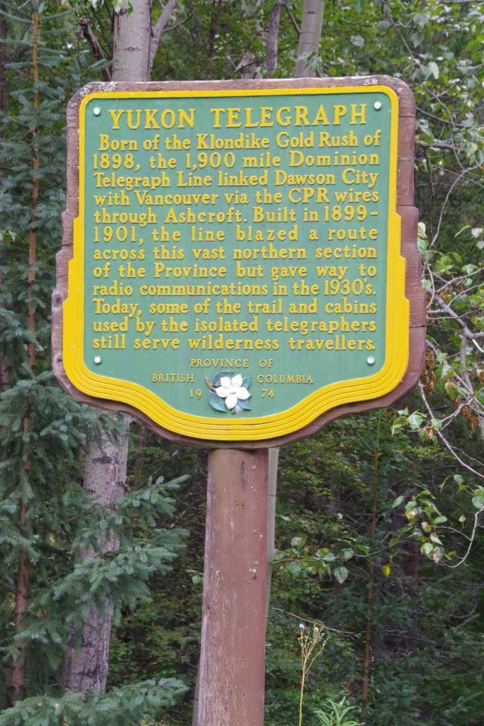
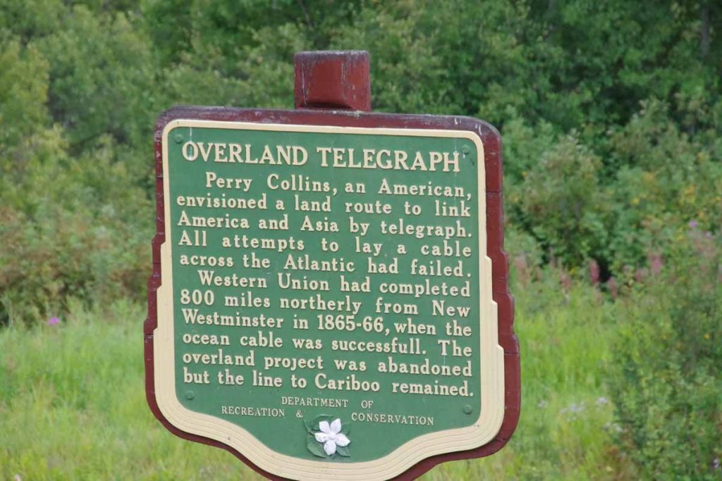
Along the way was this sign describing an earlier telegraph line from ~1900. Pretty amazing thinking of maintaining a telegraph line through some pretty rugged countryside.
IMGP3160
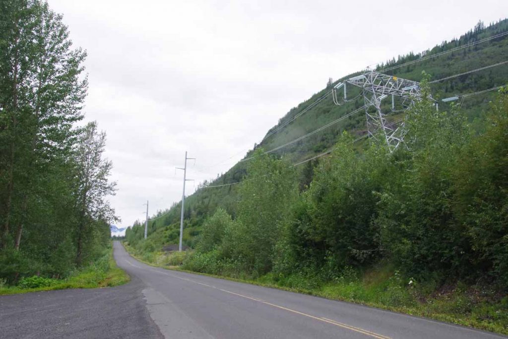
Nowadays the new line being put in is a high voltage electric transmission line started in 2012. It hasn’t yet reached Dease Lake but definitely has come this far.

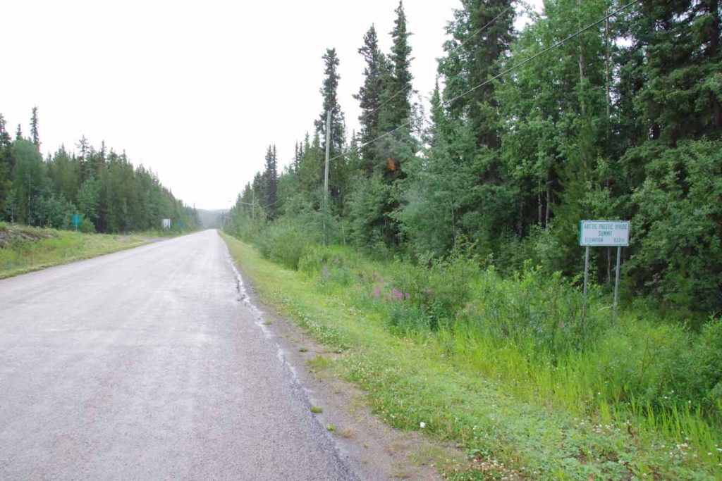
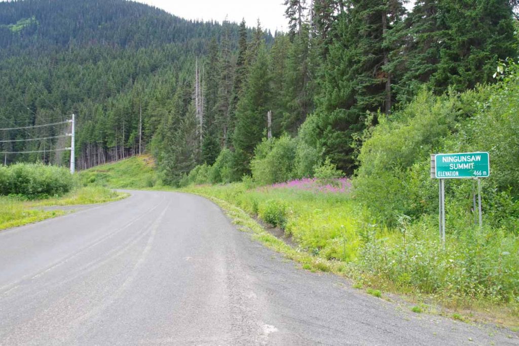
Some somewhat slow but beautiful climbing brought me to the local water divide shown below.
IMGP3161
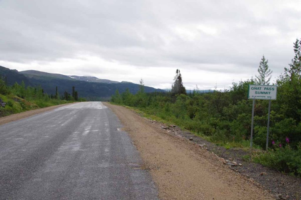
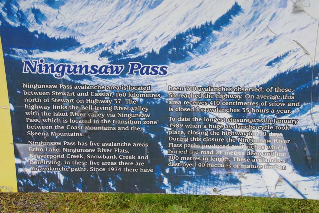
There wasn’t a huge downhill but did stop by a rest area on way down where the plaque below explained more about the avalanches as well as the pass.
IMGP3163
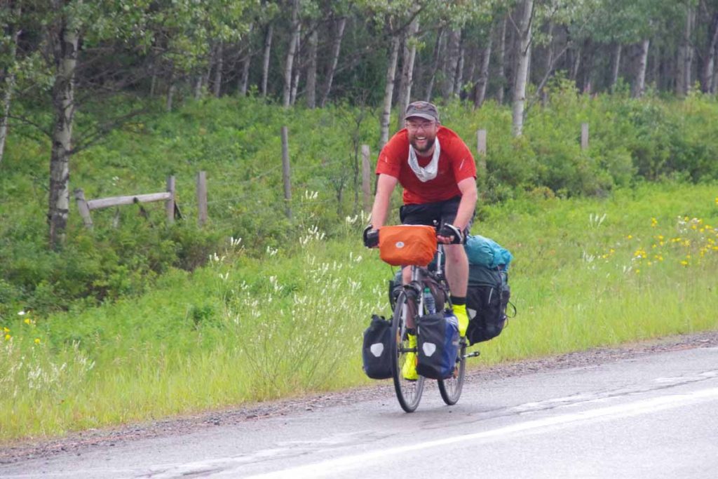
When I was about 41km along, I saw six riders coming the other way (two are hidden behind others in photo below)
IMGP3165a
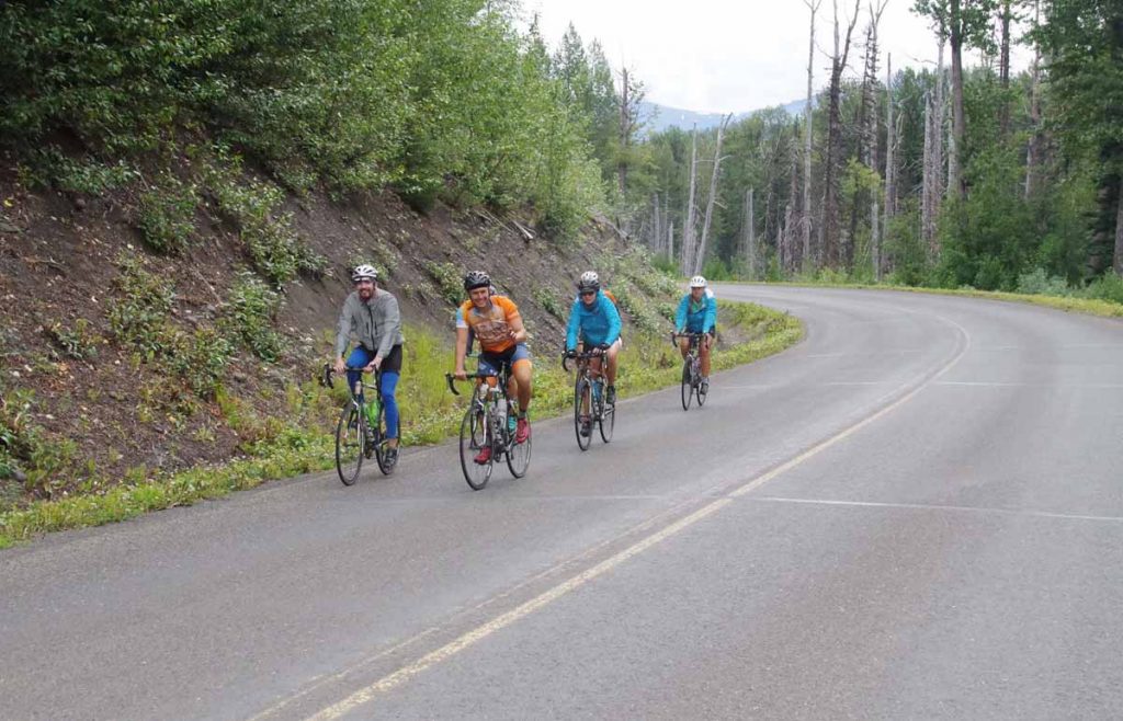
I held out my hand with thumb and pinkie extended and yelled “Go Horns!” I got a similar response which confirmed to me that this was Texas 4000. As I learned later, this group of six riders had decided to make a “challenge day” by riding from Meziadin Junction to Dease Lake, a distance just slightly over 200 miles. Wow!
IMGP3166
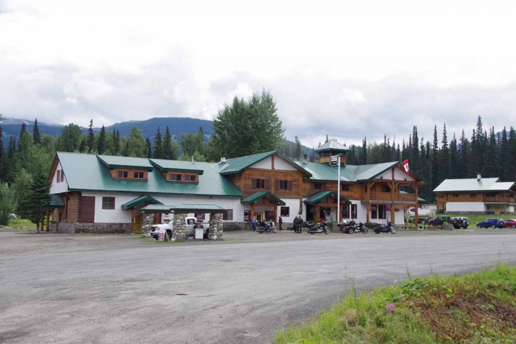
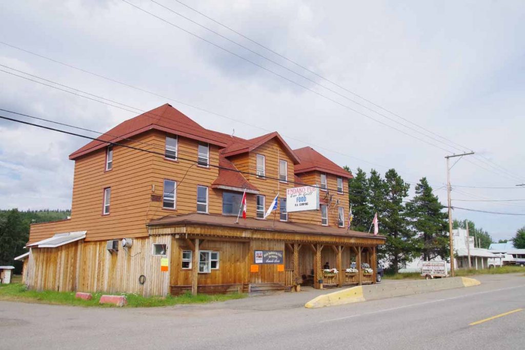
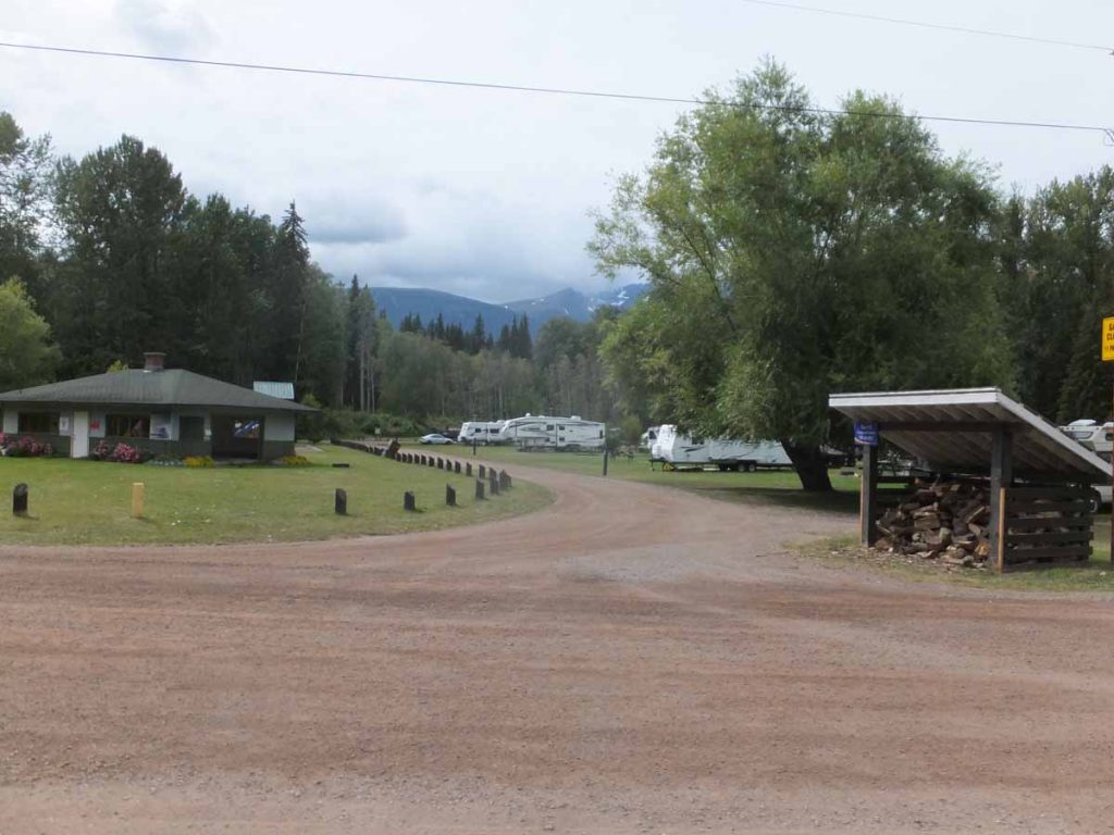
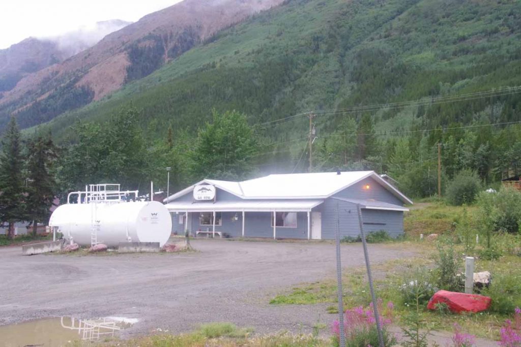
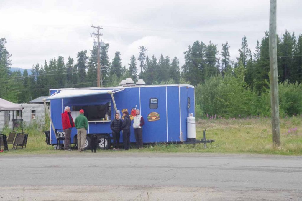
Without much difficulty, I found myself at Bell2 Lodge. A fairly nice, upscale but also expensive lodge. I was still early and had lunch and then reserved a tent camp site ($25 Canadian compared to $0 at Bob Quinn, though it did include a shower).
IMGP3174
Later in afternoon, four other touring cyclists arrived including Mark and Hana, from New Zealand traveling for two years from Prudhoe Bay southbound; Rick from the Netherlands traveling for a year from Prudhoe Bay to Panama City and a Canadian cyclist going from Whitehorse to Calgary.
IMGP3175
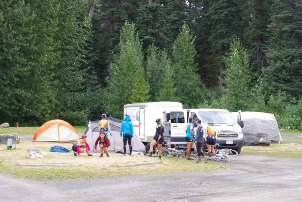
Also arrived was rest of Texas 4000 group.
IMGP3176
It was fun connecting with other cyclists. Later in afternoon, Mark, Hana and Rick cycled a little further down the road to camp and rest of us enjoyed Bell2.

Thought the photo below was amusing, though not sure if it would be allowed in North Carolina.
IMGP3179

Bell2 to Meziadin Junction (day 3)
Breakfast brunch with Texas 4000 before setting off down the road to Meziadin Junction.
IMGP3180
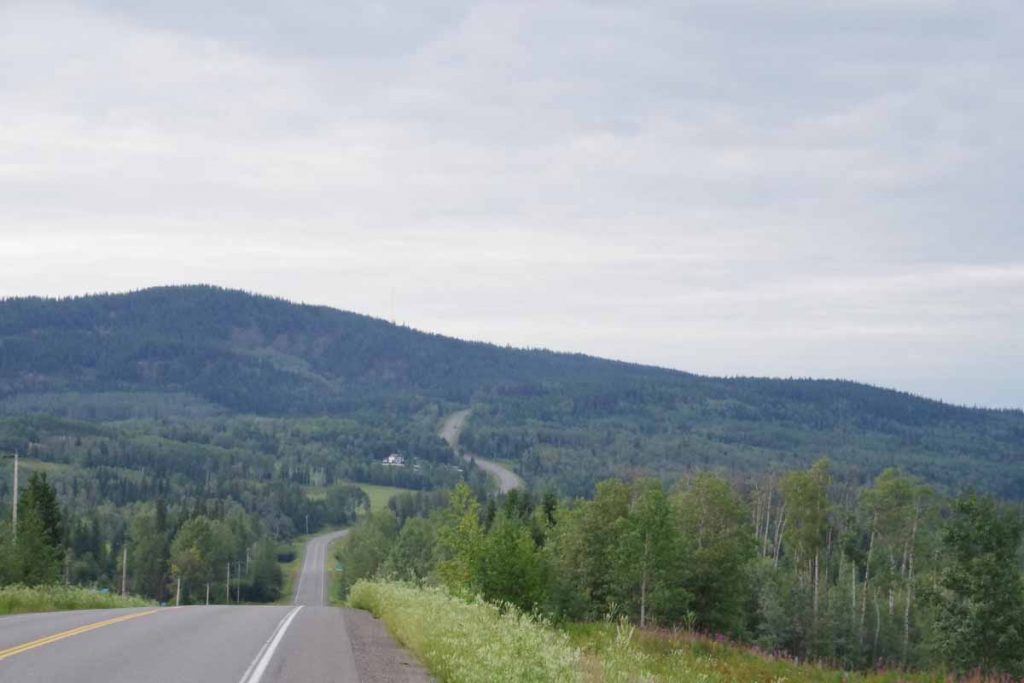
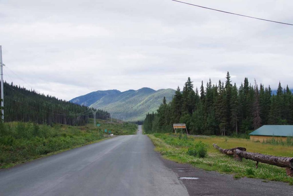
Today started as somewhat easier cycling as the first 60km mostly followed the Bell-Irving River though with some climbs up and down along the way. There tended to me more descents than climbs.
IMGP3182
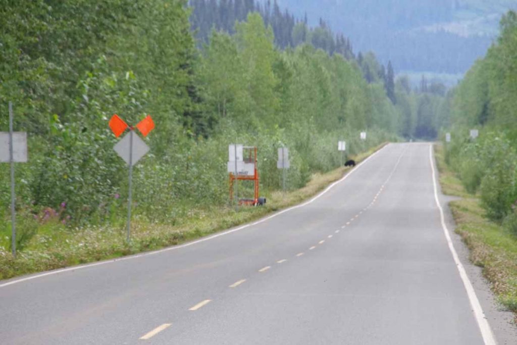
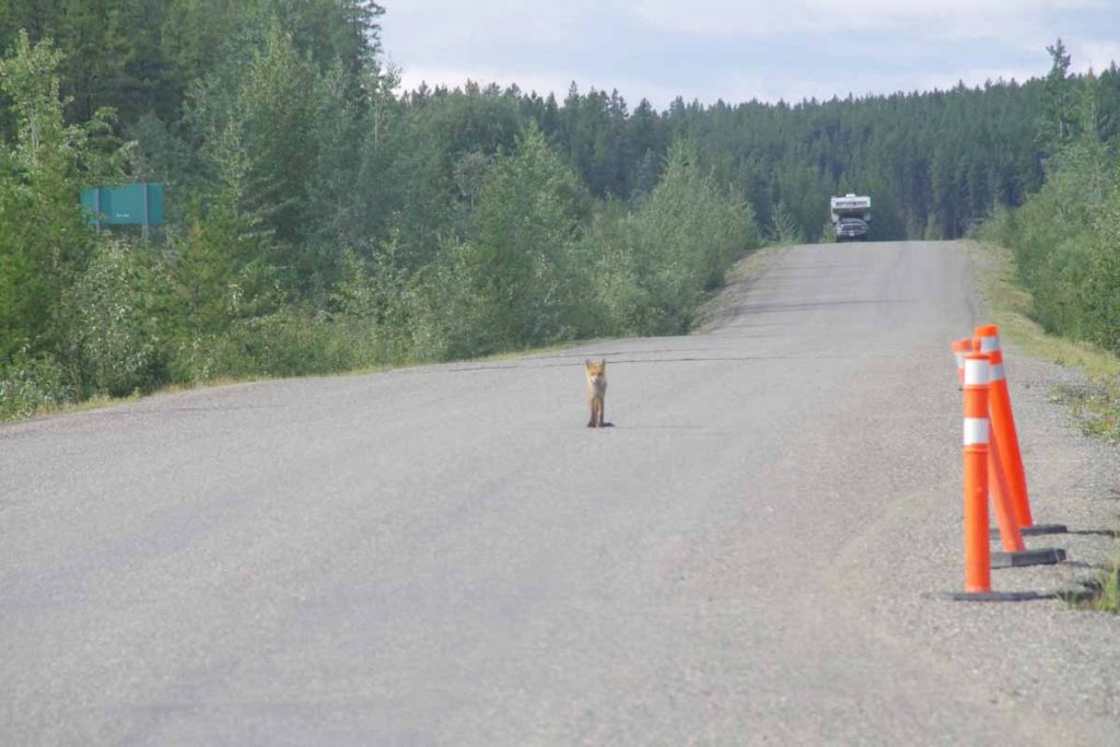
I did see a bear in the distance, but he had almost scampered off the road before I could get a photo.
IMGP3184
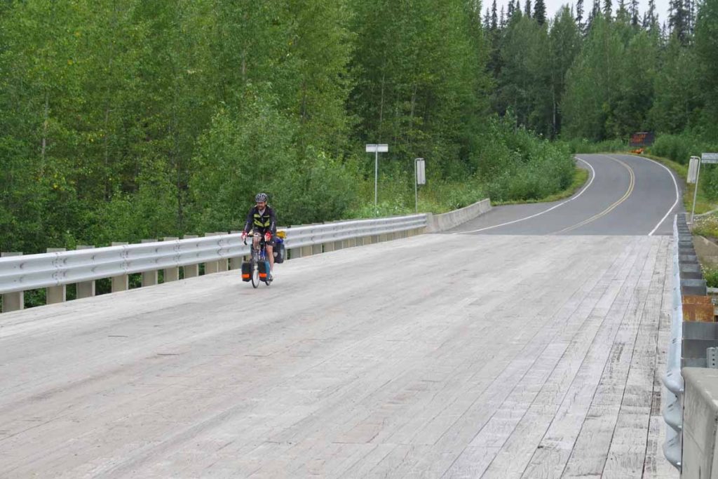
I stopped to take a photo of the wooden bridge decking that is found on some of the bridges and the Canadian cyclist just happened to come along. We had a brief snack break before he went ahead.
IMGP3185a
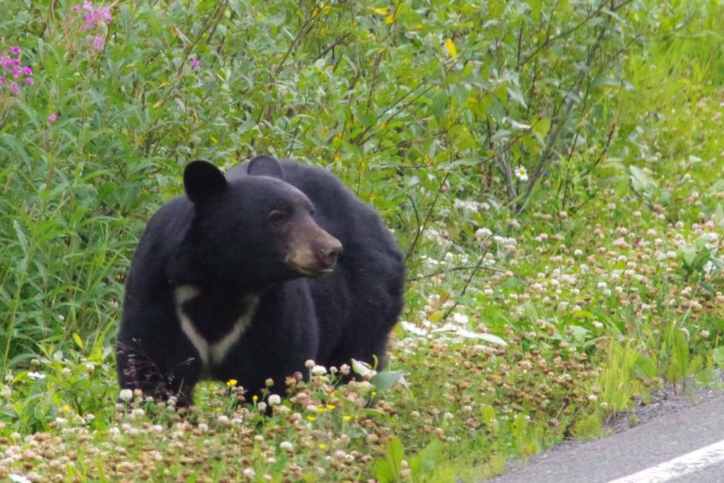
Not much later, I came much closer to a bear. The bear above was busy munching on clover just on the other side of the highway as I rolled up. I made some noises to see if he noticed me. He (she?) looked up and decided the clover was much more interesting. So I carefully cycled past just a road distance apart.

At 60km, the road crossed the Bell Irving River. Somewhat of a surprise but the last third of the ride had a rather long 12km hill to climb first along with some climb/descent as it went up and over some drainages. Definitely a bit tougher riding in the afternoon. However, without too much difficulty, I was at Meziadin Junction. I stayed at the campground, 1.5km past the junction, but did come back for dinner at the work camp.
IMGP3189
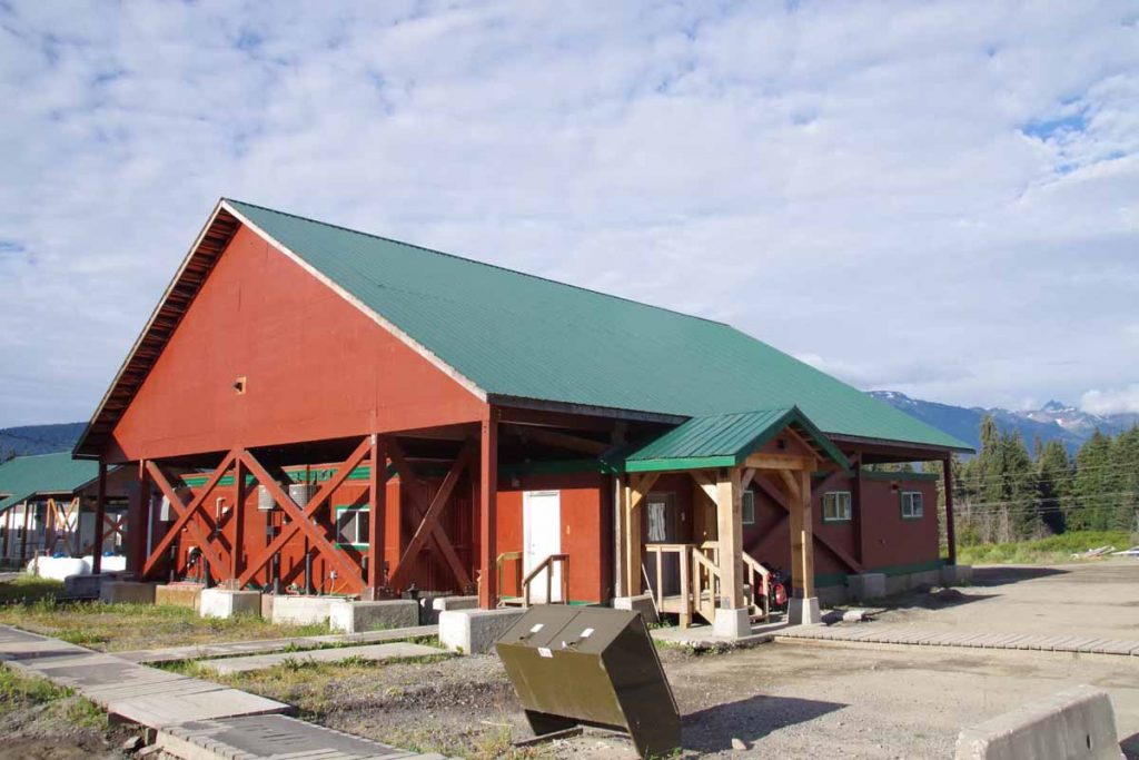
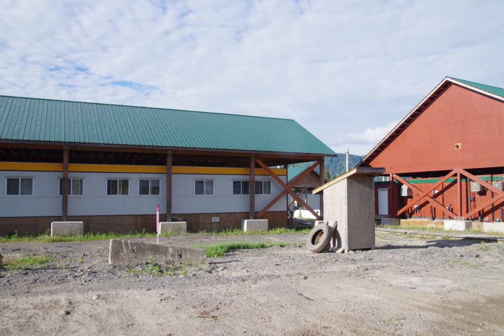
The work camp was definitely an industrial type setting with large trailer building under separate roofs.
IMGP3190
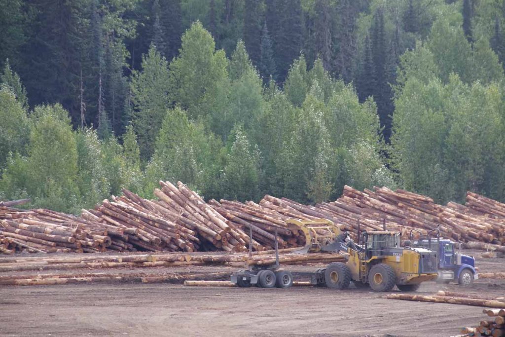
At dinner I was with several log truck drivers. They had passed us cyclists most the the day and hence I was able to figure more out about their operations:

  • The mill was in Stewart, ~60km from Meziadin Junction and at sea level. Apparently, the finished product goes out by sea
  • The logging areas are near Bob Quinn, so each truck driver does ~200km one way or ~400km driving for a single load of logs. They make two runs per shift
  • There were six truck drivers total

Otherwise the work camp had a cafeteria that made a standard fare each day. This night was turkey with the trimmings and was pretty good. After dinner went back to the campground. Paid for wifi but couldn’t connect, except later in middle of the night.

Meziadin Junction to Bonus Lake (day 4)
IMGP3195
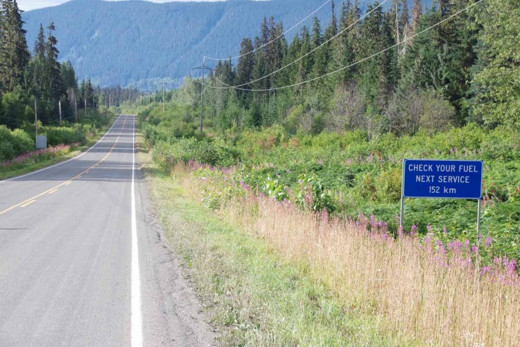
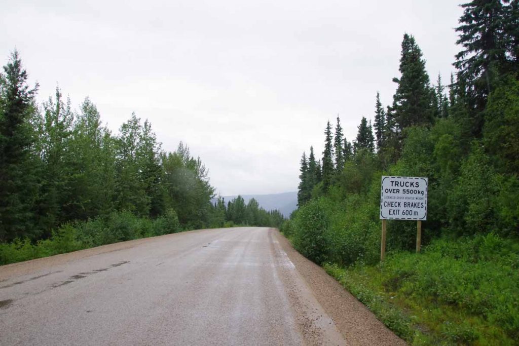
Total of 156km left on the Cassiar, so decided to split this into two days. While the truck drivers from previous night were further north, I did still have some log trucks passing, until I came past the following lot where they were loading up these trucks.
IMGP3197
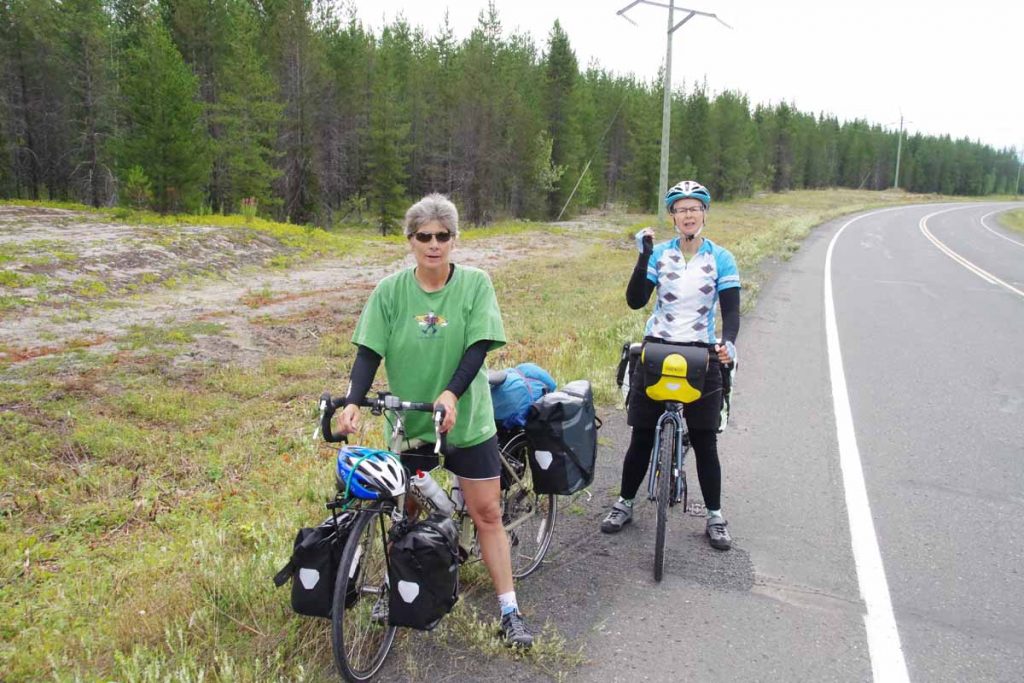
Along the way, I came along these locals who were riding from Houston, BC to Stewart
IMGP3199
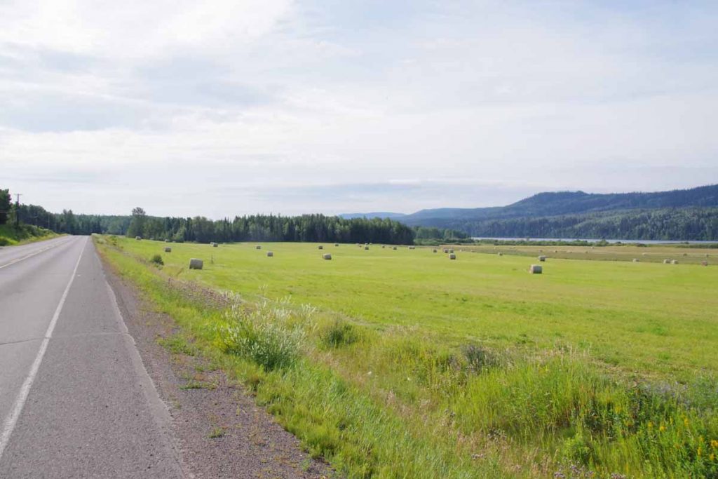
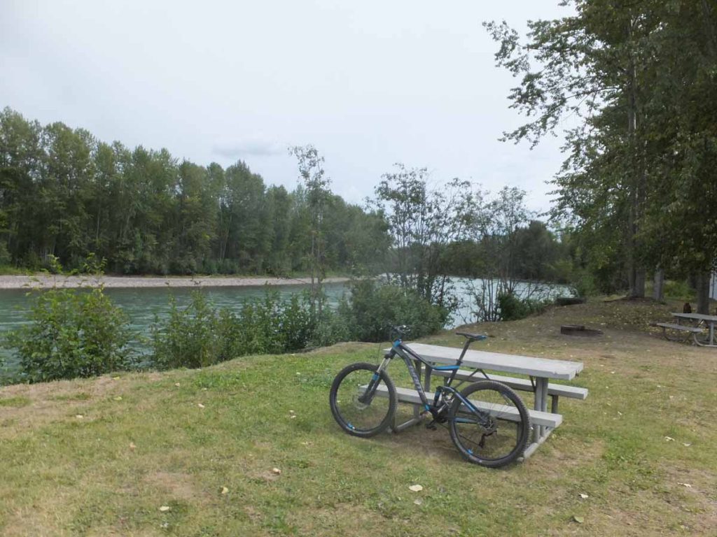
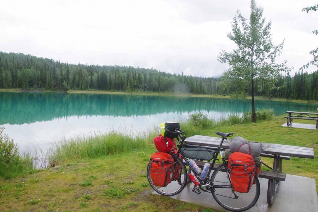
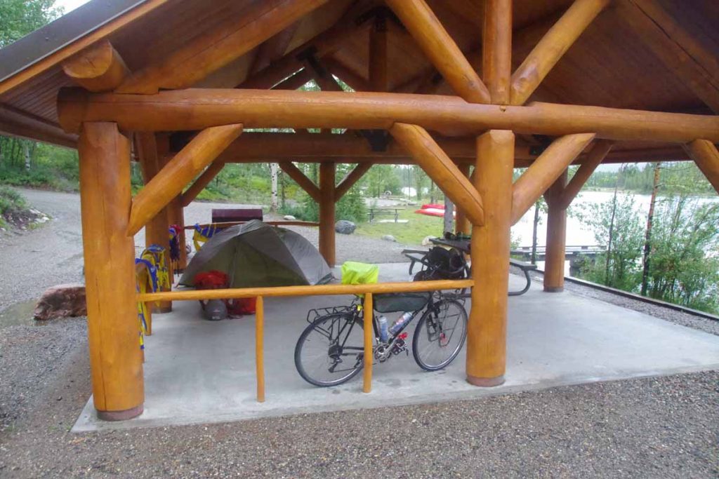
It was otherwise a reasonably relaxed day with fewer hills than previously. Given the bears I had seen, I wanted to avoid some of the rivers (with salmon spawn) and had found this nice site by a lake known as “Bonus Lake”
IMGP3202
The one thing I did discover was a water filter was more important for still water like lakes than flowing water from streams as just scooping water brought all sorts of little creatures swimming along.

Bonus Lake to Kitwanga (day 5)
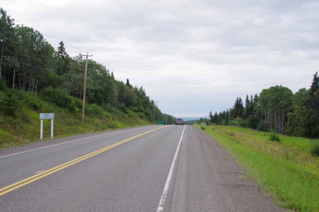
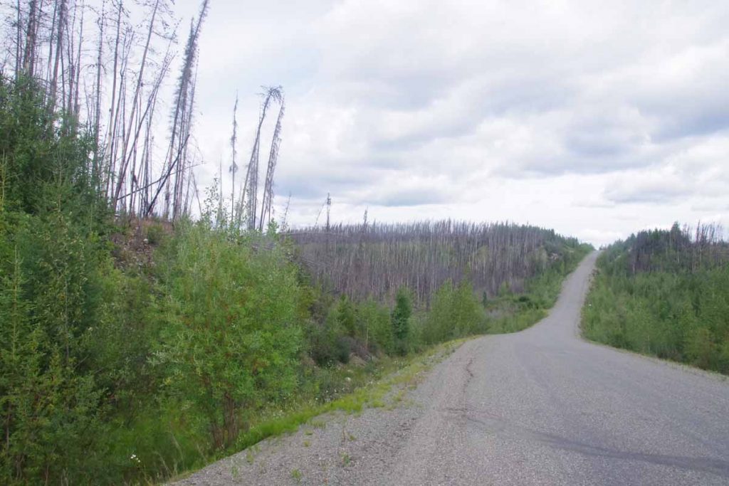
I survived the lake bugs and today finished (except for 4km) the remainder of the Cassiar Highway. A few hills but less severe than further north.
IMGP3204
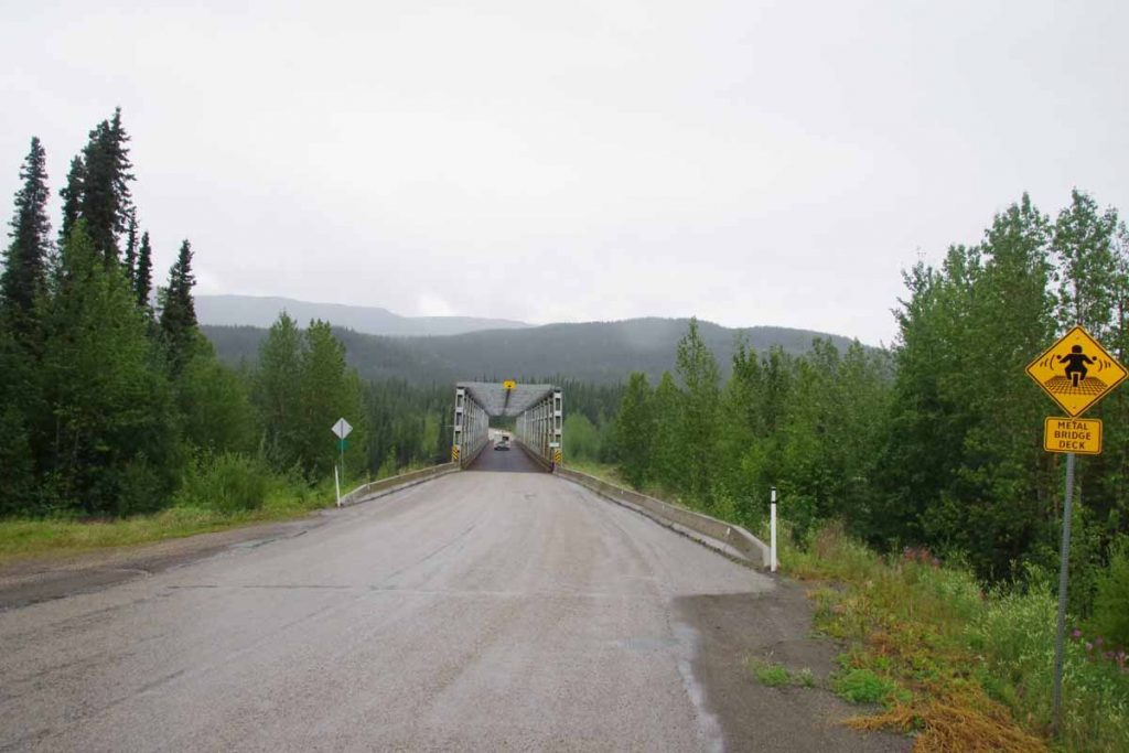
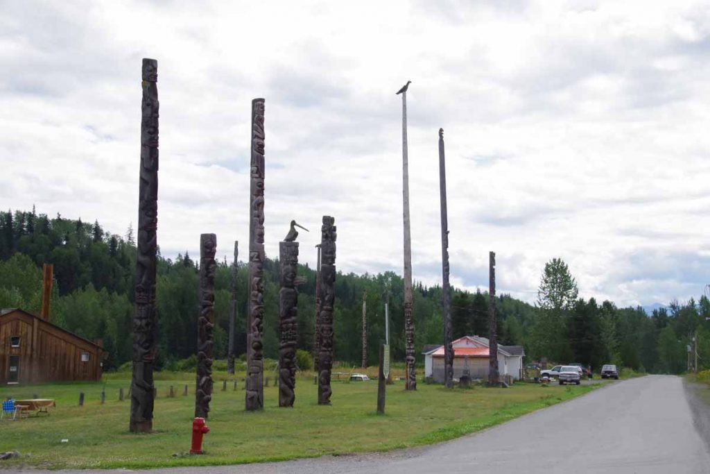
Initially I crossed Cranberry Bridge #2 and then Cranberry Bridge #1 at 18km. After the second bridge, the road was a rougher chip seal than before. Looking at the water stops including Moonlit Creek at 50km (posted no camping), I think Bonus Lake had been good spot to stop. At 56km was a sign to Gitanyow,
IMGP3208
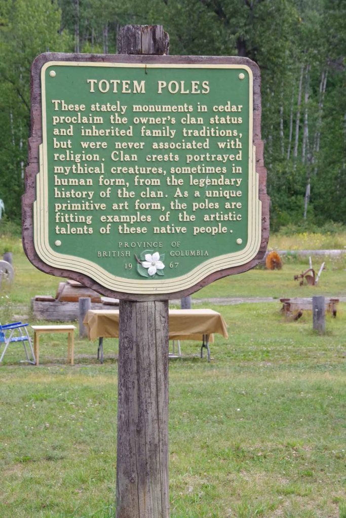
a small first nations settlement. Good spot for a lunch as well as looking at some fairly impressive totem poles.
IMGP3210IMGP3211IMGP3212
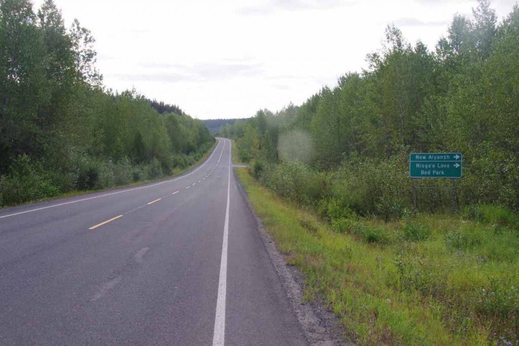
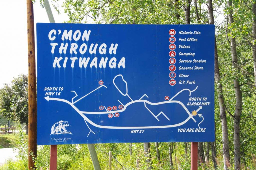
The other exit from Gitanyow was only 20km from end of the road. This passed fairly quickly and I reached Kitwanga the last settlement at end of the road.
IMGP3214
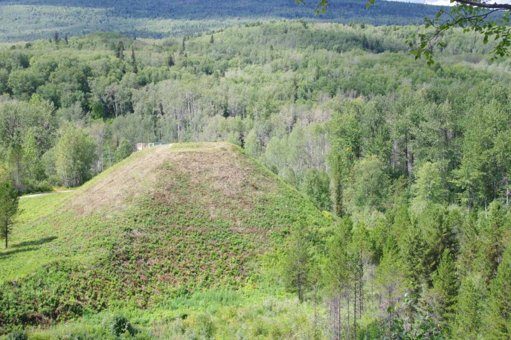
I took the bypass including coming through the old historic Battle Hill.
IMGP3215
The local RV park advertised wifi, so decided to stay there. Unfortunately, wifi didn’t work with a “data block” message. Apparently, some previous customers had used up all the monthly bandwidth allotment and so no more until the next month. RV park owner was a bit frustrated with customers that might use Netflix and similar apps since it could gobble everything up and leave her with frustrated customers.

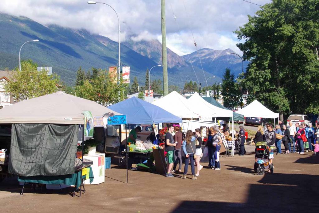
Kitwanga to Smithers (day 6)
Started the day by cycling 4km to Petro Canada station in time for a 7am opening time for restaurant and breakfast.
IMGP3222
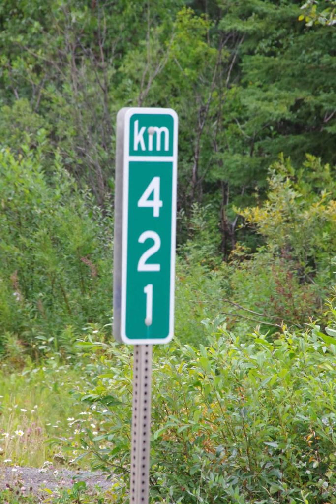
Reached end of the Cassiar!

There are normally three employees and by 7:15am, I was outside with the clerk and the waitress as well as a few customers. The cook had the keys and was late. However, things got unlocked and overall had a good breakfast before setting on the road.
IMGP3226
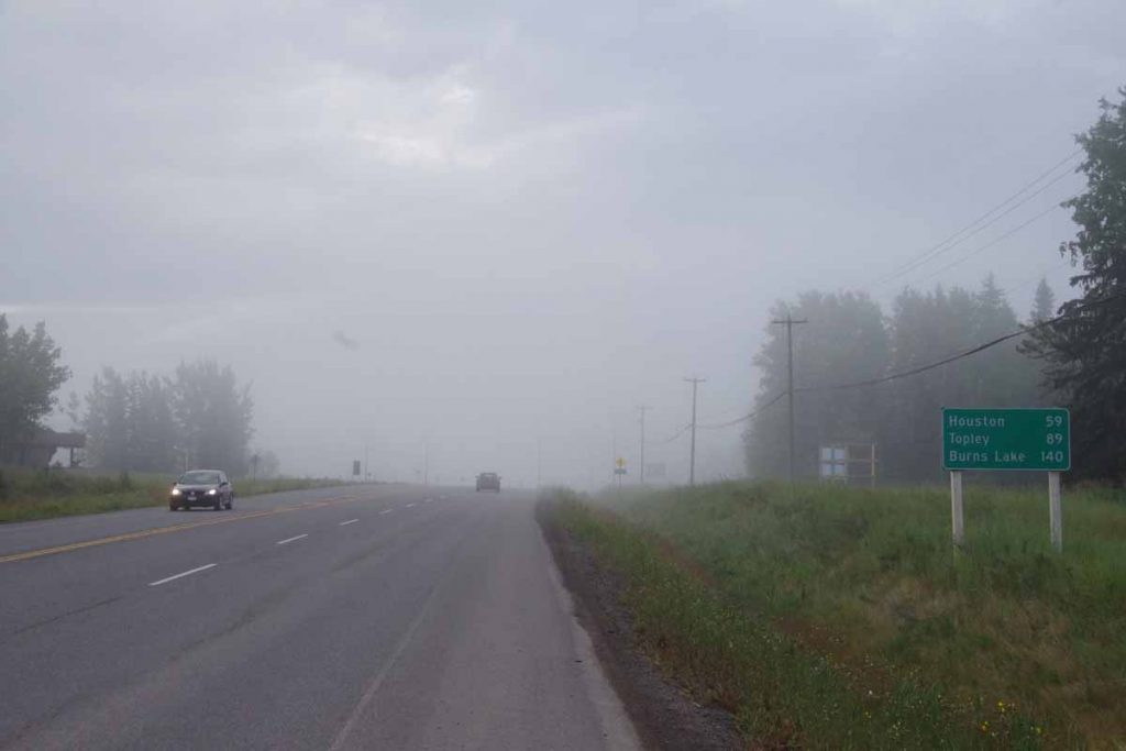
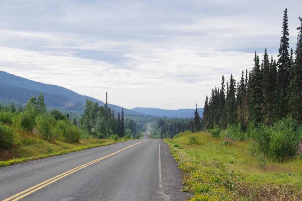
As a first impression, the Yellowhead Highway had wider shoulders but also more traffic. The route mostly followed the rivers but still had a moderate amount of climbing. Less of the short sharp climbs, but several longer climbs and then descents. Overall the bike was going well, though I noticed some occasional slips again.
IMGP3228
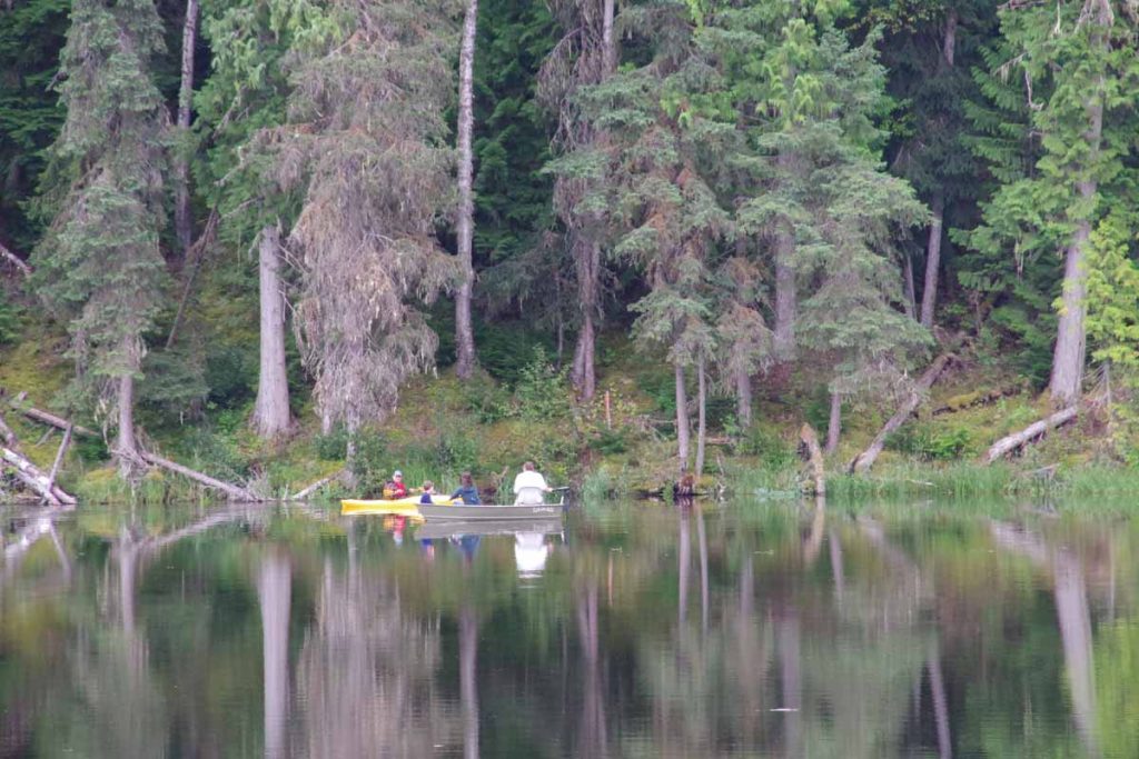
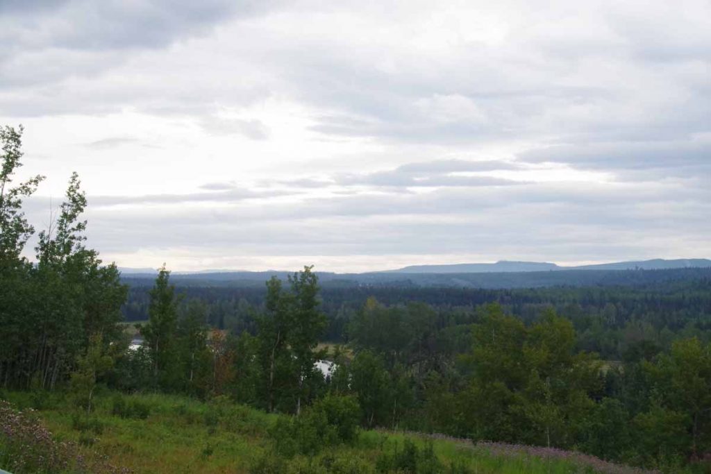
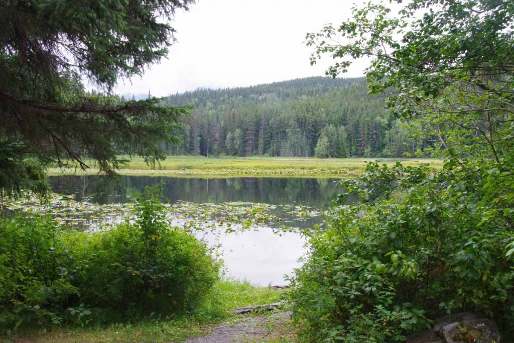
Seeley Lake looked like a nice campground and location.
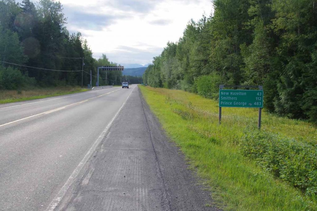
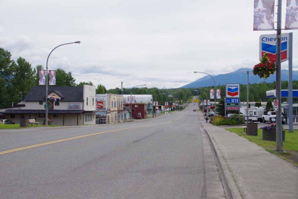
After 48km, came down into New Hazelton and while still early, went for lunch. Notice below to see the first stop light I had seen since Whitehorse.
IMGP3230
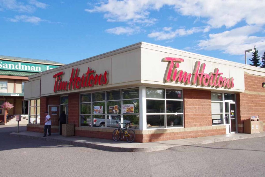
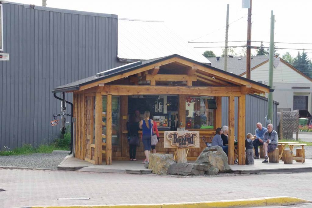
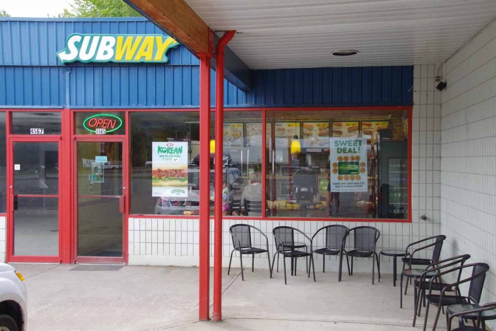
Also the first chain restaurant.
IMGP3232
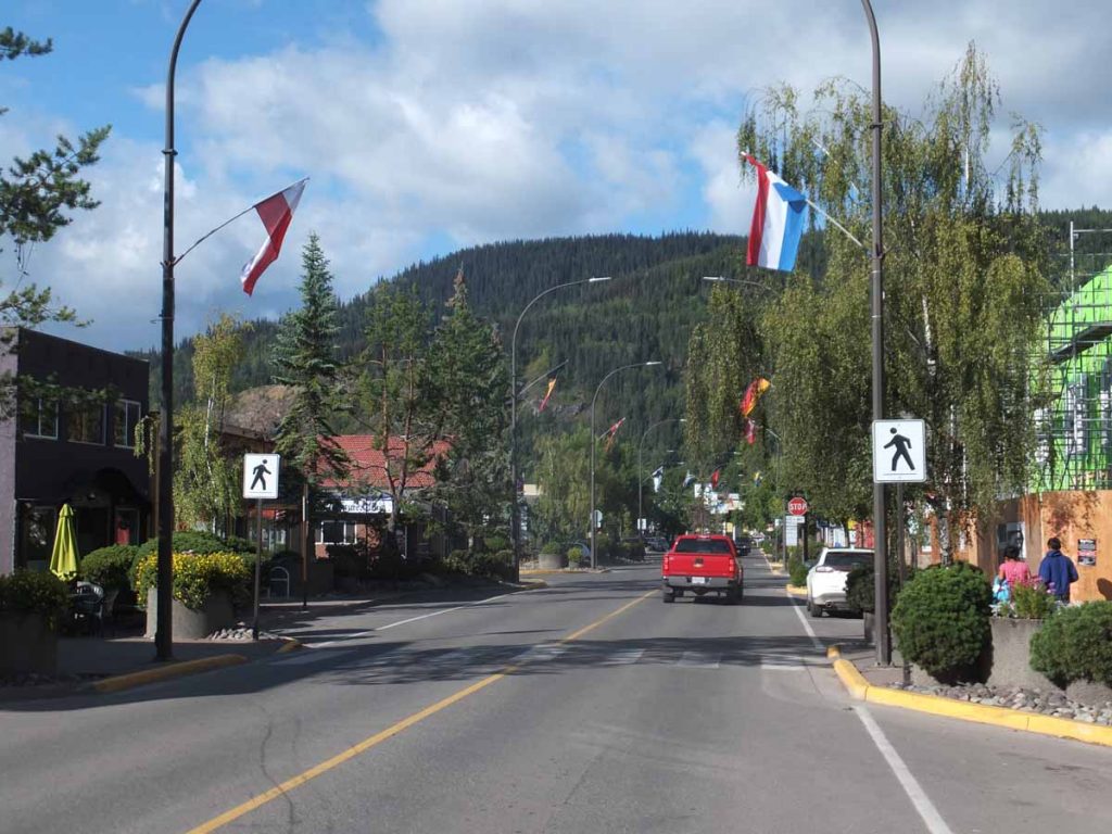
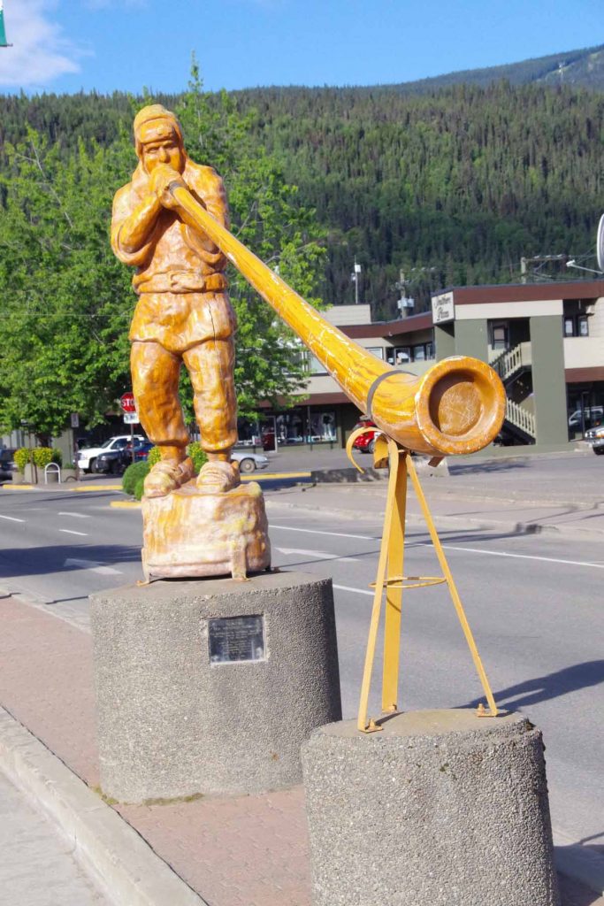
New Hazelton while not large was definitely a bit more civilization than anything since Watson Lake.
IMGP3235
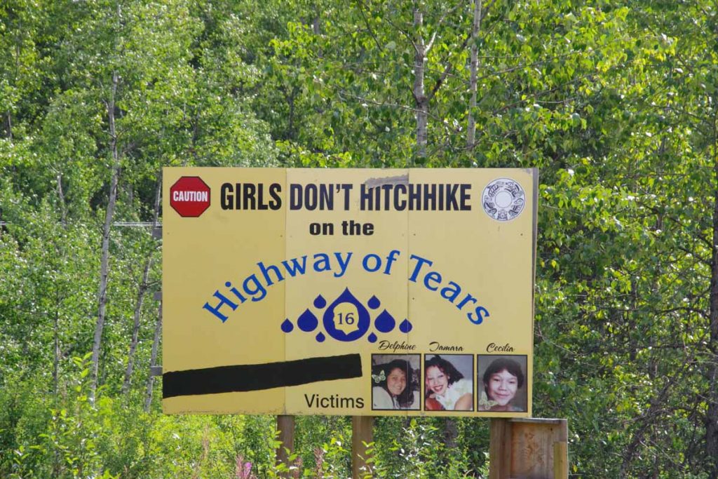
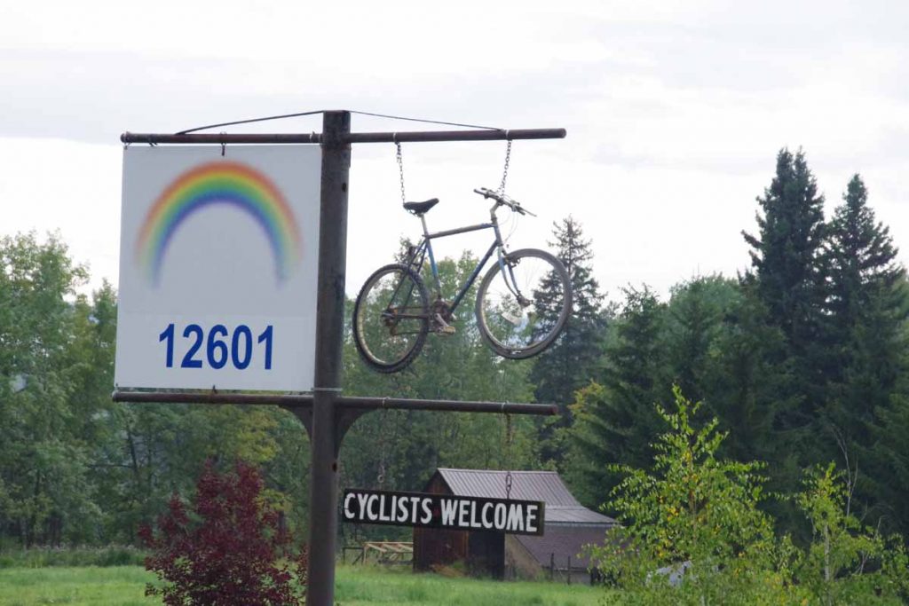
Along this highway, there seemed to be some sort of anti-hitchhiking campaign.

After New Hazelton, a good 5km long climb and then more ups and downs. Started to pick up a better tailwind breeze. That was good from perspective of making it a bit easier, though it also increased the pings I got of being lightly loaded. Figured I could get this sorted out in Smithers when I reached there and brought things to a bike shop.

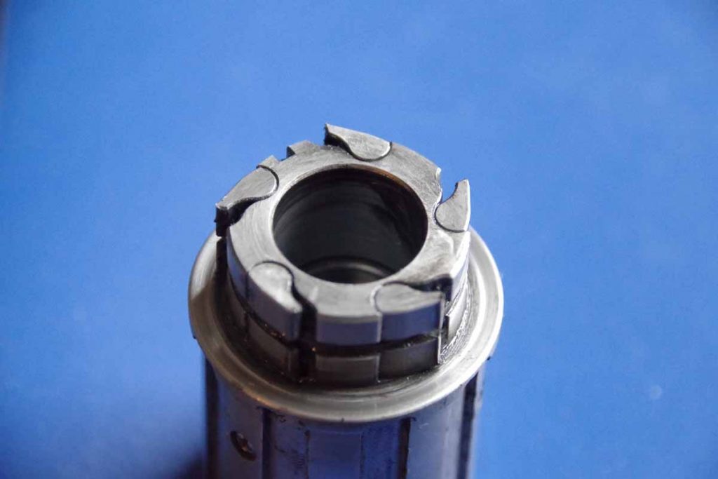
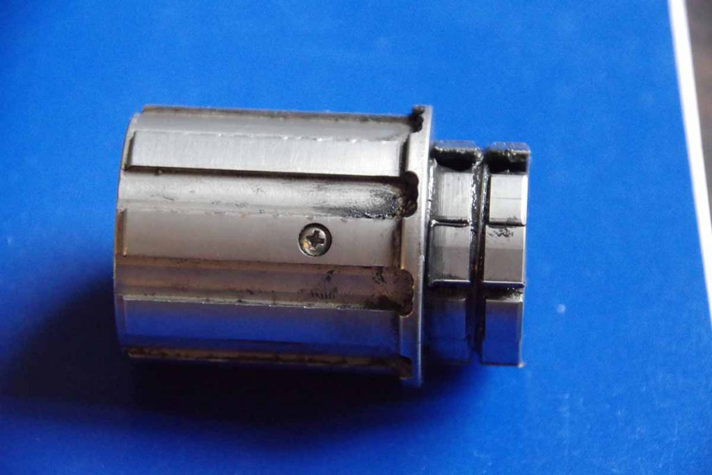
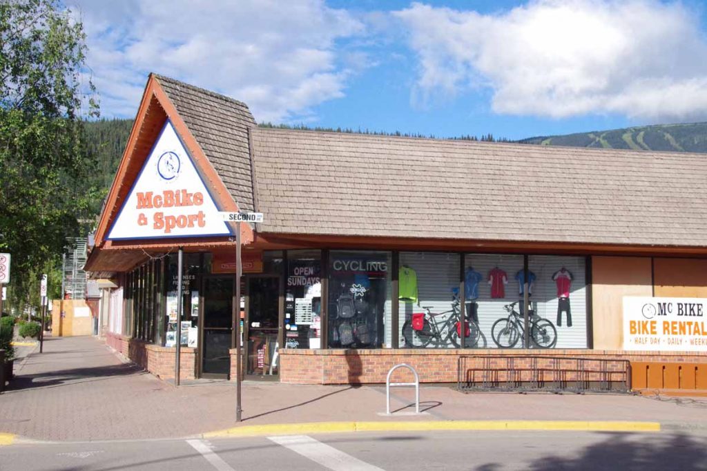
As detailed in post preceding this one, unfortunately my freehub gave out at 97km. I started walking and almost immediately, a pickup truck driver was kind enough to notice and bring me to local bike shop, McBike. So missed the last 17km of cycling into Smithers and will now need to sort out best way to get bike fixed and back on the road again. See preceding post for further details.

Posted in British Columbia, Canada

Smithers, bike issues

A bicycle ride across the Americas Posted on 2016-07-29 by mev2016-07-30

Made it to Smithers. Original plan had been to take a rest day or two, catch up the blog and get ready for the road ahead. I will make a separate post catching things up with photos from the Cassiar and last six days of cycling since there is a bunch to tell there.

Unfortunately, also had some bike issues today – though circumstances were probably best situation to have these problems. In short, it looks like my “freehub” has failed. The freehub ratchets things so one direction the hub spins freely and the other direction it engages and lets you drive the gears forward. I will work with local bike shop (McBike) to get best solution going forward.

I had been noticing an occasional “slip” earlier on the Cassiar and was hoping it was signs of a stretched/worn chain and not a failing hub. If I was cycling under full load, it wouldn’t happen but in a not complete load e.g. downwind/downhill or starting to engage it would slip just a bit. It was hard to get the exact sequence of when it happened, but I figured I would bring the bike to Smithers bike shop and replace the chain/cassette and also sort out this issue. So I had already planned a day or two as rest day here and had even emailed the McBike bike shop from the Cassiar to let them know I would bring the bike in over this weekend.

Today started same as normal where I had an occasional slip, but no more or less than normal. In the afternoon there were a few hills to climb over and also a nice tailwind from the north. The slipping was a bit more with the tailwind still tolerable. I had lunch in New Hazelton at 48km and another stop in Moricetown at 84km. I was looking forward to getting the last 30km and riding into Smithers.

At 97km there was a short hill to climb over. I geared down, but the slips seemed to increase compared with before. I tried several different gear combinations, but by time I was at top of the hill, it was now spinning freely in the wrong direction. The freehub had failed. I knew I was within 17km of downtown Smithers so worst case even within walking distance. The weather was good and the road was ok for walking. So I started walking with the bike. However, I had gone less than 300m when a pickup truck pulled up. He had noticed me walking and figured this wasn’t quite the right situation. I showed the issue and before I know it bike and all gear was in back of the pickup and on way to McBike.

We unloaded things downtown and did an initial diagnosis. We’re still in process of sorting everything out. The general direction would be either to build up a 36-spoke wheel from components here or to somehow get freehub components sent up here. Unfortunately, McBike doesn’t have a 36 hole hub in stock and Monday is a holiday in British Columbia. So we may have some things to sort out by Tuesday morning. In any case, probably best place to have this happen and otherwise was planning on looking around Smithers but might have a bit more time here than originally planned.

So time to let things unfold and sort out the immediate situation as well as figure out reasons why the freehub failed as soon as it did. I’ve had them fail before January 3rd and 8th 2001 in New Zealand and also in Thailand in 2007 and in Botswana April 2013 and December 2015 in San Clemente – so it is a circumstance I knew could happen but surprised it happened as quickly as it did since previous failing hubs generally had more mileage on them.

UPDATE 30 July
Had a chance to sort out a few more things here. In general my action plan is as follows:

  • Plan A (preferred) – get hold of the hub manufacturer when they open for business on Monday morning. See how quickly I might be able to get a replacement hub sent to Smithers. I actually sent their sales/service email addresses an email yesterday evening but no response so likely needs to wait until they are open for business.
  • Plan B (backup) – McBike doesn’t have a 36-spoke hub. However, the other bike shop C.O.B. does have a hub that should be possible to build a 36-spoke wheel. If Phil Woods can’t solve the problem or get a replacement shipped in reasonable time, then build a replacement wheel here to get on the road. In mean time, ship away the old wheel back to US and work with Phil Woods on replacement/fix after that.

Having a three day holiday doesn’t help but just need to get some time to get everything sorted out.

Posted in British Columbia, Canada

Meziadin Lake

A bicycle ride across the Americas Posted on 2016-07-27 by mev2016-07-27

Short update from Meziadin Lake campground where wifi works when others are asleep but was too congested to connect yesterday. Three days of cycling brought me here:

  • First day had strongest headwinds of the trip. Had good full breakfast but also later start. Kept going until found good spot to camp at Bob Quinn wayside.
  • Second day was short ride to Bell2 lodge, a nice upscale, but expensive wilderness lodge. Met several other cycle tourists here headed southbound including Mark and Hana. Coming the other way was a group of 19 riding from Austin to Anchorage from Texas 4000.
  • Third day started easier with 60km mostly following river but last third went over large hill to reach Meziadin junction. At junction was work camp and had dinner in cafe with log truck drivers before going to provincial park

Still continues to be beautiful wilderness road going through valleys created from glaciers.
IMGP3165a
Above is photo of Texas 4000 cyclists I met. Earlier in the day, I had met some folks with a camper who told me there was a large group of young people cycling from Houston. I had a guess it might be Texas4000, so when I saw the crew above cycling, I held out a thumb and pinkie and yelled “Go horns!”. They responded and hence confirmed that this was an Austin-based group who had left in early June. Later after I arrived at Bell2, the rest of the Texas4000 group arrived. Apparently, the group in photograph above was doing a “challenge ride” of 200+ miles from Meziadin Junction to Dease Lake. The rest of the group was cycling that distance in three days and would meet up later.

Likely two more days on the Cassiar to reach somewhat more populated Yellowhead Highway and one or two days from there to Smithers. Photos wait until I have better connections.

Posted in British Columbia, Canada

Iskut

A bicycle ride across the Americas Posted on 2016-07-23 by mev2016-07-23

Weather today was not pleasant.
IMGP3132
Started out today at 7C (45F) and light rain. Motorcyclists looked at me as if I was a bit crazy, though we also agreed that I’d better generate heat than they sitting with cold wind chill. Fortunately, there was also some climbing on the agenda to generate the heat.

One kilometer in, I came across the sign above about an Arctic/Pacific watershed divide. Apparently, Dease Lake drains north to Dease River and eventually into the MacKenzie River in the Arctic Ocean. Barely up a few feet, areas south of the lake drain to the Tanzilla River to Stikine River and then to the Pacific. Only 822m according to the sign.

The first 9km had some gradual climbs until I reached the Tanzilla River itself. From here it would be 6km of steeper climbs and another 5km to reach the summit of Gnat Pass.
IMGP3133
The rain had paused and I was still fresh, so put it into low gear and slowly made my way up the pass. As I climbed it rained a bit more and the temperature dropped. By time I was at the top (1241m), it was 4.3C (39F) and there was also a bit of a headwind. Fortunately, it didn’t get colder after that.
IMGP3135
There were some nice lakes and the road generally trended downwards. It did warm a degree or two, but had to be careful to keep moving enough to keep warm. Close to 40km, the road descended a good bit to cross the Stikine River.
IMGP3136
There was an area for truck drivers to check their brakes. Overall, the signs said “6%” but that was only one or two spots and overall I think the grade was less. The bottom was at 51km and 692m elevation, so I lost all the gains I had made for the day.
IMGP3137
The bridge had a metal deck and I walked across rather than slipping in the wet. The river was surprisingly large. This overall river area is part of a provincial park. On the other side, the climb began again. Next 7km had some solid climbs including a section with steep curves where they had let the road go back to gravel. However, with almost as much energy as the first climb, I was soon back to the plateau. Along the way, the worst of the cold rain seemed to finish as well, though still had occasional drops.
IMGP3140
Up ahead I saw something cross the road. Didn’t quite seem like either bear or moose. Once I got closer, I found these three horses. They all had bells on them so made noise as they moved around. I stopped at a rest area and had a bit of of lunch at 60km. Every 5km there is a marker along the road, today had started 480, 475, 470,… I was amused to see that instead of “420” there was a milepost “421” instead. Most likely to keep people from stealing the sign.

Once up top, there was another brief drainage to cross to reach ~1100m and after this a good descent into Iskut. In this stretch of road, the headwinds picked up and it was still cold. Saw a B&B and was tempting to stop here, but continued to reach Iskut store at 82km. While I didn’t need further supplies, this one would have been sufficient to stock up on provisions (unlike Good Hope Lake). After this another 16km south of town, most of it going along the lake before reaching the Tatogga Resort.
DSCF1250
I was motivated to reach here, not so much to see the moose but instead to get a motel room out of the rain (more expected overnight) and recharge here for the next segment of the Cassiar. Overall, it never got much above 12C and particularly the first ~60km were rather cold and wet. While the lodge does have the moose mentioned above, it also has a rather nice set of overview maps so can get a sense of the terrain ahead.

Posted in British Columbia, Canada | Tagged headwind, hills, rain

Dease Lake, avoiding the rain

A bicycle ride across the Americas Posted on 2016-07-22 by mev2016-07-22

Three days of cycling brought me to small settlement of Dease Lake. Each day had some rain, though fortunately avoided it during most of the the cycling hours.
IMGP3111
Left Nugget City after a good breakfast, refreshed and ready to see the Cassiar Highway. At 1km, I turned south to the junction and at 5km, I came to the border with British Columbia shown above. First impressions of the road were good, at least as smooth as the chip-seal Alaska Highway. A bit narrower, both in the road and in how much of the side vegetation had been cleared.
IMGP3113
I saw a fox in the distance not long after I entered BC. He watched me briefly and then scurried away. The first 30km along the road had an initial climb and then a lot of quick short hills. In contrast to the Alaska Highway, the Cassiar seems to stay “closer” to the grade and hence had quite a few quick, short and steep grades. That took some getting used to and the first 30km were a bit slower. In return, it felt a bit more “wilderness” than the larger and busier Alaska Highway. There were still a moderate amount of RVs and motorcycles and even some 18-wheeler trucks but perhaps 50% less overall.
IMGP3114
I crossed some older burned out areas. At 44km as I passed Wheeler Lake, the short steep little hills had largely subsided and the chip seal was replaced with perfectly smooth asphalt. Wow!
IMGP3115
At 60km, stopped briefly at Beaverdam rest area and talked with a truck driver with car carrier bringing seven vehicles up to Eagle River. He warned me of some construction ahead closer to Dease Lake. It also started to rain lightly. However, without too much trouble I was able to find my way to Boya Provincial Campground.
IMGP3117
The campground was a beautiful site with two campsites for bicycles with picnic table and right by the lake. It was a great place to camp. Some rain in the evening and also overnight.
IMGP3118
Woke up on second day at 4am to rain on the roof. I let it rain for a while, but not much past 5am, I was ready to get up. Not too far from my campsite was a covered space for the canoe/boat landing. I moved my tent, bike and gear under the shelter and made breakfast. This let me get ready out of the rain and by time I was ready to go, the rain had mostly stopped.
IMGP3119
In distance to the north (unfortunately I was headed south), I could see the sun under edge of the clouds. However, it did stay dry on second day until I reached my next camp. First 2km to go back to the main road and then follow the road over some small hills. Theme for day two was “Cassiar Mountains” as I spent the entire day slowly weaving my way between the mountains.
IMGP3121
Another image from second day where you can see the Cassiar Highway.
IMGP3122
At 15km, I came to “Good Hope Lake” and just in time for the gas station to open. This was also listed as a store, though I would have been disappointed if I had relied on this for provisions. Good thing I got them in Watson Lake.
IMGP3125
At 40km, I came to Jade City. While it is listed on the map as “city” what you see above is most of it. Apparently, a large percentage of the world’s Jade is mined near here and the store above has lots of different sizes and types for sale. I got a coke and candy bar and instead refueled here. Also interesting to meet a guy who had raced Tour Divide last year with an impressive 27 day finish (100 miles/day). He also told me to avoid carrying too much extra on the Great Divide route.
IMGP3126
Above is Needle Nose mountain. The route kept threading its way past these mountains and first along a sequence of lakes. I crossed over top of current drainage near 60km and then a good descent for several kilometers to the Cottonwood River. From here mostly flat before the road started following the Dease River uphill.
IMGP3127
Met a cyclist who started in Ohio on May 17th and was headed to Alaska. We traded information about the road ahead. Not much further, I found a good spot to camp near Pyramid Creek. 86km for the day, but a pretty ride. As far as timing goes, not long after I set up camp it started to rain. Was nice to be snug in the tent with the rain heading down, though did go out later to make dinner.
IMGP3128
Third day started a bit cold and ugly. It rained a fair amount overnight and in morning when I woke up as well. I procrastinated getting up for a while and as my luck had it, it did mostly stop raining in time for me to make breakfast and pack camp. However, it was cool (8C) and never really warmed up this day. Also later in the day, I got a bit of a headwind. I put my rain jacket on and also sweated some into it.
IMGP3129
Some minor road construction to start. These guys were using a machine to trim some of the foliage closest to the road.
IMGP3130
The larger construction was the “Sawmill to Serpentine” project for 27km. In addition to a number of kilometers of gravel, this happened to correspond to spot where the road climbed a fair amount away from the lake and then descended up and down over some steep little hills. The hills, gravel and reappearance of wet spotty rain meant for some slow cycling. Fortunately not that long of a day and I found myself into Dease Lake a little before 1pm.
IMGP3131
Coming into Dease Lake, I was amused to find some other businesses giving their directions as “turn left at the restaurant”, implying there was only one restaurant. However then found that even that restaurant was closed. However, a reasonable grocery here along with a deli grill. Got a motel room with kitchenette to dry my gear and also can make some things from the grocery. Looking to regroup here and looks like might be slightly damp next few days as well.

Posted in British Columbia, Canada | Tagged Cassiar, fox, rain

Post navigation

← Older posts
Newer posts →
©2025 - A bicycle ride across the Americas - Weaver Xtreme Theme
↑