↓
 

A bicycle ride across the Americas

from Deadhorse (SCC) to Ushuaia (USH)

  • Home
  • Plan
  • Blog
  • Photos
  • FAQ
    • Why?
    • Where?
    • What next?
  • Map
  • Equipment
  • Calendar
  • Countries
    • USA
      • Alaska
      • Montana
      • Wyoming
      • Colorado
      • New Mexico
      • Arizona
      • California
      • Texas
    • Canada
    • Mexico
    • Guatemala
    • Honduras
    • Nicaragua
    • Costa Rica
    • Panama
    • Colombia
    • Ecuador
    • Peru
    • Bolivia
    • Chile
    • Argentina
  • Weather
  • Links
  • Contact
Home→Categories Colombia - Page 2 << 1 2 3 >>

Category Archives: Colombia

Post navigation

← Older posts
Newer posts →

Irra

A bicycle ride across the Americas Posted on 2017-04-29 by mev2017-04-29

I am hanging out overlooking town square in small town of Irra. I can hear (and feel) loud music with definite thumping beat. Lots of people outside, some in the park, others on small shops. I was fortunate to find a room in “Hotel Central”, essentially the only hotel in town. It did take some work to carry my bike up two flights of narrow stairs. There is free wifi in the park, so am able to make this posting.

Today was a pretty ride along the Cacua river canyon.

La Pintada was still sleepy town when I departed, a contrast from evening before. Here I crossed the river bridge and there was town on other side as well.

Vultures sitting in the tree.

There were more opportunities for truck washes today. These guys were giving a good clean, but noticed my camera.

Side creeks are fairly muddy. Looked like these guys were sluicing for gold or other mineral.

Still many of these animal signs. Not sure if these are all to watch out for, or highway department is having fun getting all the different animals on signs.

Several spots with construction today. At several of these vendors had shown up to hawk food or drink to the drivers and bus occupants.

At 46km was La Felisa. Reports were the hotel didn’t allow bicycles inside. Otherwise, had a feel of a “truck stop” type of town.

Lots of eateries though.

Another of those animal signs.

In one of the construction zones, I even went through a tunnel. Fortunately, this one had lights.

Today was my brother’s birthday. Congrats Tom!

We were born on the same day, five years apart. Thank you for birthday greetings sent.

At 65km, reached small town of Irra. There was a hotel downtown. It did require carrying my bicycle up two narrow flights of stairs. I didn’t think there was wifi until later. From here, the route leaves the river canyon, so understand there will be more hilly terrain. No huge climbs, but a lot of ups and downs.

Posted in Colombia

La Pintada

A bicycle ride across the Americas Posted on 2017-04-28 by mev2017-04-28

Out of the big city and over the hill.

It was a little harder to get out of Medellin than to ride in. I left shortly after 6am, but there was already a fair amount of traffic. My general plan was to follow main arterials for 4km and then get on the main autopista highway. Problem was that these arterials had elevated through roads in the middle and surface streets on the sides. It already felt too busy to get into the middle lanes, so I followed the surface streets. At some point however, there was a construction closure and I was blocked.

Not a big deal, I got out the phone and followed several other local streets until around 5km I could get on the highway. There was initially no shoulder, but traffic was well behaved and I also wasn’t the only bicycle on the highway. Multiple local cyclists also passed. Fortunately, after a few kilometers I got the shoulders shown above.

As I went further outbound, the lanes each direction gradually reduced from six to five to four and then eventually to two lanes each direction at 16km. Occasionally these buses would stop in the right lane or there would be trucks stopped, but it all worked fairly well.

The highway bypassed the main towns, but I could see them sometimes below.

At 27km, the road split and now only had one lane each direction. I find it interesting the amount of detail on the “bicycling” sign. Not just any bike, but looks like a full suspension mountain bike.

This is a cycling country and I saw many locals out riding.

I started the day a little under 1500m (4900ft) and gradually climbed up to 2450m (8030ft). It was gradual at first, but towards the end there were several short stretches over 10%.

I found it amusing to see the signs along the way, this one for serpents.

The genus and species for armadillo.

I’ve seen these “eye” signs before in Colombia, but they were particularly present today.

I got close to the top and saw this “bicicletas pesicolo” sign. As best I can tell, this is name of a local shop or organization.

At 39km, reached the top at last!

I had a nice lunch here and also talked with owners of the restaurant. They offered to let me camp over beside the restaurant.

They also showed me many stickers placed here by various cross-continent travelers. Alas, I didn’t have one for them to add.

From here it was ~40km descent from 2450m (8030ft) all the way to ~770m (2500ft). Never too excited about descent, but figured I’d try to get to town of Santa Barbara, and stay in a hotel there.

Versalles was town before that. Amused to see they had “Alaska” ice cream.

Some great views on the way down.

Another animal sign.

At 55km, I came past Santa Barbara. I knew another blogger had stayed here. However, apparently he went into the town and I stayed on the main highway. Hence, I ended up bypassing any hotels and soon found myself on other end. Not a big deal, but decided to complete the rest of the descent today.

It was a slow steady drop and it slowly heated up on the descent. I am now back to hotels with air conditioning, no blankets and one temperature water. Interestingly enough, the main river past town is “Rio Cauca”. I left this behind in Puerto Valdiva at 200m but by now I’ve gone upriver so am at 750m on the river. General route will follow this river further upstream from here for a while.

Overall a good day with 1250m+ of climb, an overall descent of 1680m (more than a mile) and 80km to bring me out of Medellin.

Posted in Colombia

Medellin

A bicycle ride across the Americas Posted on 2017-04-27 by mev2017-04-27

Down the hill and into the big city.

Overall an easy day, though descending 1000+ meters and riding into a city of 2.5 million does take some concentration. I wasn’t in a big hurry since I knew today would be straight forward. The first 5km were actually a slight uphill to ~2200m (7400ft).

I passed a little piece of Eden along the way.

At 5km, I came to edge of the downhill. The valley floor is 1100m (3900ft) below. As I descended, there were at least 20 recreational cyclists climbing slowly up the hill. A few reached the top and then passed me back on the way down.

At 18km, I was down at the bottom and joined a major highway heading very slightly up the valley towards Medellin. There was a bike path here. It was a bit bumpy, particularly when it crossed a lot of side streets. It was also incomplete, going away in parts.

The road cyclists pretty much all avoided it and rode in the right lane. Traffic was light and this seemed to work. I alternated doing some sections on the road and some in the bike path. By 38km, it had gotten pretty busy.

I took a traffic circle and then onto a secondary highway. No bike path, but this one had a sidewalk. Again, I tried the sidewalk in some pieces, but mostly ended up on the road.

The last section even marked the right lane for bicycles and trucks. At 48km, I turned off this road and into the main city. Without too much trouble, I found my way to reasonable hotel recommended by other cyclist blogs.

I am about 1km from the main commercial district, so took a walk.

A pedestrian mall with several closed shopping streets.

Light rail running through it.

A city bike share program, the bikes are inside these lockers.

Have seen more of these assembly points in Colombia and other countries.

Overall, getting into Medellin took some care, but compared with other large Latin American Cities I’ve ridden, this was easier than average. Now will take some time to plot my route to Cali and following via points. Pretty much guaranteed there will be some substantial climbs though.

Posted in Colombia

Don Matias

A bicycle ride across the Americas Posted on 2017-04-26 by mev2017-04-26

Wet. Unsurprisingly, rain showers continue during the wet season in Colombia.

Yesterday I took a rest day in Yarumal. It was a nice little town and my hotel was right off the main square. In addition, forecasts called for 100% chance of rain with 25mm total throughout almost all the day. It turned out the forecasts were wrong and it was dry and mixed clouds all day until a solid rain shower late in the day.

This morning I was ready to go. Road sign gave the rough choices for next days – figured Santa Rosa at least and perhaps Don Matias. The first 6km were mostly descent into the valley and below 2000m.

One could see Yarumal above.

At the bottom was an interesting old bridge.

After this the climb began, another ~600m (2000ft) over the next 12km. As I climbed, it started a light drizzle and then a light rain. The temperatures also fell below 10C (50F). It wasn’t extremely steep, so just a steady climb up the hill.

This bull was saddled up to carry the milk.

The rain continued as I reached the top and came into Llanos de Cuiba. A little past a toll booth there was a roadside restaurant and hotel. It was a welcome sight as I parked my bike out of the rain. Folks looked at me and my bike shorts in the cool rain (8C) as being a bit crazy, but this didn’t stop me from being served. Nice break here and was almost tempting to check out the hotel.

After my break, the weather improved: rain mostly stopped and it also slowly warmed up.

I passed what I think was a roadside memorial – to people killed in a truck. There were even dummy figures in the cab.

There were multiple small hotels along the way today. This one advertises 15,000 pesos (~$5.50). Less than average, but overall small roadside hotels are not very expensive in Colombia.

I reached the high point for the day.

Today is my father’s birthday (papá – notice the accent). Coincidentally I saw a number of signs for potatoes (papa – notice the lack of accent).

Stopped long enough beside the road and this curious calf came over to check things out.

Small church along the way.

An experiment with HDR mode in my camera, showing the extra dynamic range.

At 49km, was Santa Rosa del Osos and chance for another bite to eat. It was still early and the weather had slowly improved, so continued on to Don Matias.

Shrines next to a waterfall.

There was a reasonable amount of ups and downs in this last section, so nice to crest the last hill and see a sign for a hotel.

Overall, a wet day with more rain than my rest day yesterday (in contrast to the forecast which reversed the two), however still beautiful cycling here through Colombia.

Posted in Colombia

Yarumal

A bicycle ride across the Americas Posted on 2017-04-24 by mev2017-04-24

Toto, we’re not in Kansas anymore…

While the lowlands I cycled the first week aren’t exactly like Kansas either, my last cycling day and a half is markedly different as I’ve climbed up into the mountains. Today, I heard for first time, “the hot water is on the left”. Previously, there was only one temperature and I was happy when it was cool.
Day One
Left the lowlands today and started climbing. Temperature starting out today (~22C, 71F) was similar to temperature in middle of day at elevation (~25C, 77F) though it did get warmer in between.

Started early and came through Taraza town when all was still quiet. The first 43km were mostly flat as I followed the Cacua River.

This first stretch had quite a few jets of water squirting into the air. Tempting to ride under and get a cool soaking. As shown on the sign, most of these were for washing vehicles and I saw several trucks stopped and being given a good wash.

The river was large and a brownish color. Slowly started going into a steeper valley.

A lot of these little creeks along the way with rushing water.

At 43km, I came to Puerto Valdivia. The route had climbed ~100m in the last 43km – but now would head sharply up for the next 20km.

There was a little bakery here to get a bite to eat and fuel for the climb.

There was a nice bike shop. I saw perhaps 15 recreational riders out today, most with cycling gear and helmets.

A small hotel across the street.

After this crossed the bridge and took a photo of this small piece of town. From here it would be ~20km of a consistent grade. The first part was both warmest and a few spots were the steepest. My odometer read 37C (98F), of which some was in the sun, but definitely a warm and sweaty start.

The road was sometimes narrow and not much in way of shoulders. Trucks were reasonably good about giving room, but needed to be careful around some of the corners.

A slow and steady climb and chance to take another rest at 50km mark at a small hotel and restaurant. I was surprised at how many small places there were along the way.

At 57km, was another break. Here was a small pool and waterfall and some cooling off. However, by now temperatures had also fallen.

It was a nice sight to see Valdivia. I believe the main part of town is on a sharp hill up to the left. However, I stayed on the main road. The nearby gas station also had restaurant and hotel. No internet, but also only 20,000 pesos ($7) so can’t complain too much. I was a bit beat after the climb, but also nice to have cooler temperatures here.

Day Two
It rained heavily starting around 2am. I listened to the rain and decided to repack my gear: moving my sleeping bag from (not very waterproof) stuff sack into a pannier and moving other things into the stuff sack. While it was still raining in the morning when I got up, it was definitely lighter than the heavy overnight rains and hence I set off.

The first 15km had a majority of the climb (~900m or 3000ft) net altitude gain. I started out reasonably strong, but around the 8km mark it became just a bit steeper, particularly an occasional very steep section. To switch off, I walked a bit or two of the steepest bits. Fortunately, by 11km, it was just slightly better and I was back riding. I could see the local top up in photo above, but it took a long time to reach.

At the top was a military post and 1km later was a nice restaurant/cafe. Well positioned to get a morning snack. After this, I still had a net 450m (1500ft) of climbing, but glad I had the largest share of climb early. It was ~14C (57F) and just on verge of mist/rain and hence needed to make sure I kept moving to keep warm.

Another backlog of trucks stopped here. My best guess was a large oversize vehicle coming up the steep bits. It later also passed me.

Definitely a green landscape.

Many little waterfalls.

Finally at 32km, I crested the high point for the day. My odometer is set to record distances in meters but elevations in feet.

A few kilometers later, Yarumal was visible down below.

Cycled right into the main square and found nice hotel right off the square. In the afternoon the sun even came out for a short bit! Weather forecast for tomorrow calls for even more rain, but will check conditions in the morning or whether to take an rest day excuse in this little town.

Posted in Colombia

Taraza

A bicycle ride across the Americas Posted on 2017-04-22 by mev2017-04-22

Pleasant ride along the Rio Cauca. The river itself has headwaters further south near Popayan, but my route departs the main river to cross the mountains in another 43km.
http://www.scc2ush.com/wp-content/uploads/2017/04/frogs.mp3
The road occasionally passes swamps and bogs. In audio recording above, were the large number of frogs. In addition to trucks and road noises, I’ll also have noisy birds and music played much too loudly.

Road continued to have reasonable shoulder and not large amount of traffic.

I passed this military base with statue and flag.

What found interesting about billboard nearby is soldiers all sporting large cameras on their helmets – a sign of new Colombian armed forces.

I passed many of these small fruit stands. Look carefully at the tree above and you’ll see some of the fruits still on the tree. Where people haven’t gathered them, I also passed some of the fruits lying in the road.

A few slight hills but overall mostly flat as overall elevation today went from 60m to 100m in the slightest climb.

Town of Taraza was here off in the distance. Found a nice hotel in outskirts of town, so cycled in first and then circled back. In afternoon once again nice to be in an air conditioned room.

Posted in Colombia

Caucasia

A bicycle ride across the Americas Posted on 2017-04-21 by mev2017-04-21

Pleasant ride in lowlands of Colombia. Road was flatter, but a little worse condition and also busier. Caucasia was surprisingly large town, with a lot of motorcycles.

Planeta Rica was nice little town and my hotel was nice and close to the town square. Also had a supermarket nearby to stock up for some breakfast items to eat before departing. The first part of the ride the road was sometimes rough grooved pavement as well as a few spots with road construction. As seen on sign above, either gasoline is expensive here (per liter) or much more likely, this is second Latin American country that sells by the gallon. Guatemala was the first country and others (Mexico, Honduras, Nicaragua, Costa Rica and Panama) all by the liter.

At 14km there was a toll booth. Instead of having special toll roads, Colombia seems to have these toll booths on major highways I’ve been on. There are ~2850 pesos per dollar so costs a car either $2 or $4 for a toll.

Motorcycles are free on that special right lane beside the trucks. Bicycles also travel on that lane.

Some pleasant riding through the countryside.

I’ve been passing a number of large ranches or finacs. Even saw a cowboy on horse trying to herd some of these cattle.

At 24km, the town of Buenavista had a nice town center on the main road. Stopped here for a snack and short break.

In Mexico, speed bumps were “tope”. In Guatamala, this became “tomulus”. Here the signs warn of “zona de resaltos”. Wonder how many further variations I will have going south.

A termite mound.

That fence seems to be made of living trees each sprouting a little bit.

Large bridge over the San Jorge river. Today the route was flatter than yesterday, though still a few rolling hills to climb over.

At 48km, a pleasant surprise. Gas stations here usually don’t have much else or perhaps a hotel and restaurant. However, this was first one I saw with a Subway. Prices were similar to US prices and hence rather expensive for Colombia. However, inside was air conditioning, so nice chance to cool down a bit before cycling the last 20km.

Caucasia was a busy town. I had a hotel in mind from previous blog, but looked like it was closed for renovation. So continued on main road and just south of town, found a reasonable hotel. My route will now follow the Cauca River just slightly uphill for the next 100km before starting a sharp ascent up and over the first set of mountains – as well as expected cooler temperatures that come with elevation.

I’m now at 8 degrees north latitude and hence same as my southernmost point in Panama.

Posted in Colombia

Planeta Rica

A bicycle ride across the Americas Posted on 2017-04-20 by mev2017-04-20

Its raining, its pouring.
The old man is snoring
Went to bed and bumped his head,
and didn’t wake up until morning.

Except for the head bump, that could have been written about last night.

Thunder and heavy rain last night. Looked out once and saw a toad hopping along in the pouring rain. It was down to light rain when I started and within an hour it had stopped. I passed several spots where it looked like tree limbs had been knocked down from the storm. April and May are raining season in Colombia, so not completely unexpected.

As shown above, there as a short stretch of separate bike lane. After that two lane highway until La Ye at 14km and then single lane after that. Overall, a nice ride with gently rolling hills.

Showing some of the single road.

In one of the towns many houses had these little bricks out for sale out front.

This is a pool hall. I’ve passed these in multiple smaller villages along the way.

These guys are ready to give monster haircuts.

Cemeteries here often have rather elaborate tombs.

Juice for sale.

Overall was a good ride, though since I wasn’t near a store yesterday I hadn’t had much breakfast. I did stop at a small restaurant at 30km to recharge. Overall, it also stayed somewhat cooler today, perhaps the rains had helped keep things cooler.

At 66km, I came into town of Planeta Rica. Cycled all the way through it before circling back and finding a reasonable hotel. In Central America occasional bibles found in hotel rooms were Spanish and English New Testaments. Here in Colombia, I haven’t seen many, but they appear to be Spanish only.

Nice to wander around town.

There is a USA clothing shop.

Butcher shop with meat hanging out in front.

In the central square there is of course the church. Also able to find a SIM card and get phone service configured again. Always handing coming into larger towns to check Google Maps to figure out local streets.

Posted in Colombia

Sahagun

A bicycle ride across the Americas Posted on 2017-04-19 by mev2017-04-20

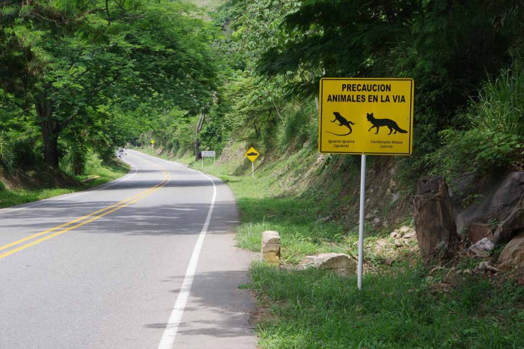
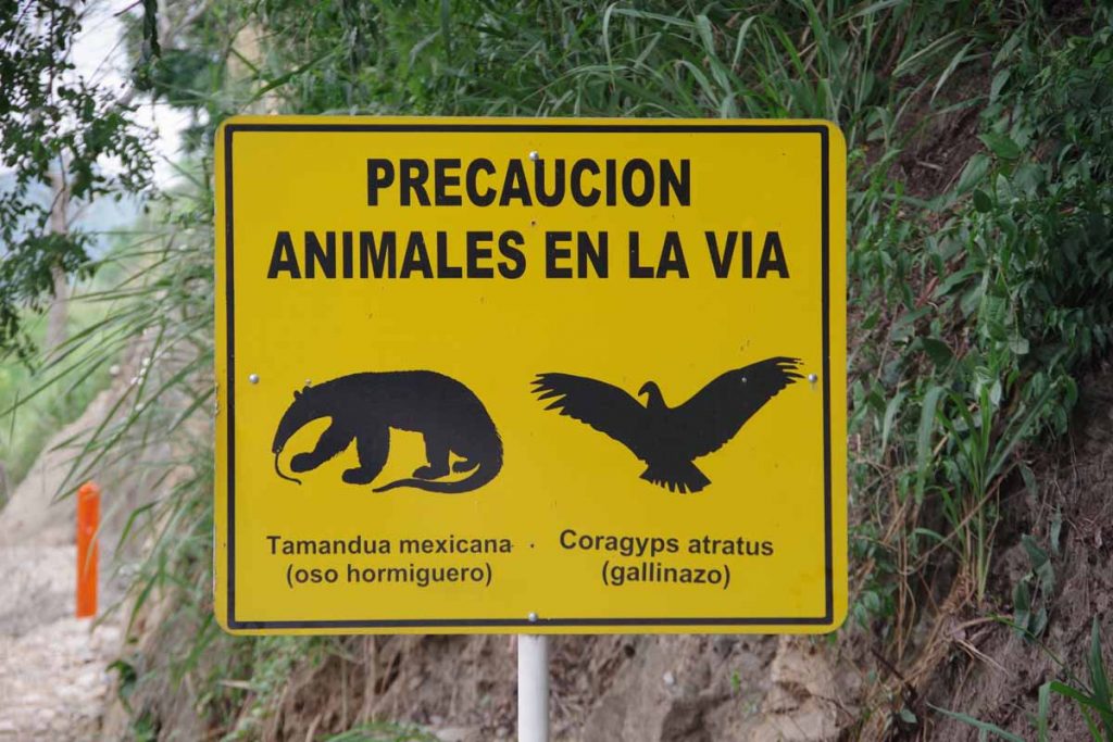
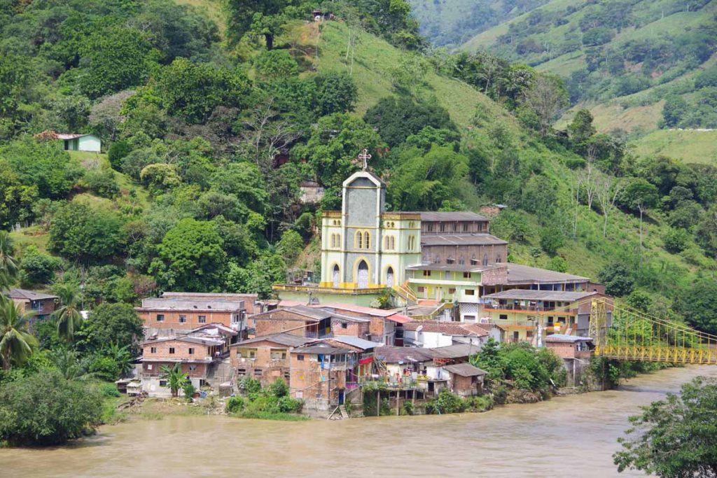
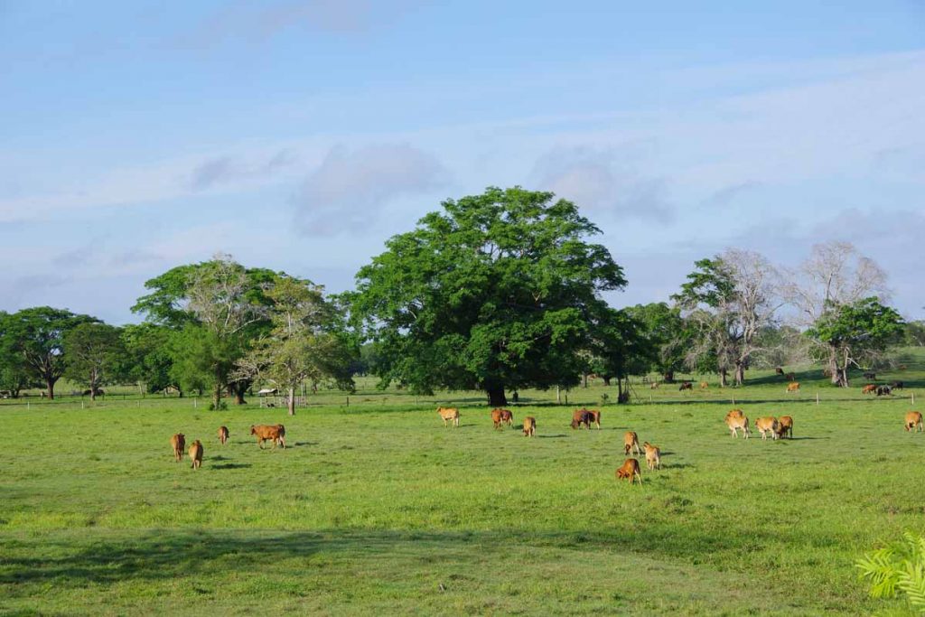
Making an easy cruise through lowlands of Colombia. It is humid and afternoons can be warm. However, mornings are pleasant cycling and hence have made some shorter rides before skipping to an air conditioned room in the afternoon.
Day One
Hot humid afternoon makes for another morning ride.

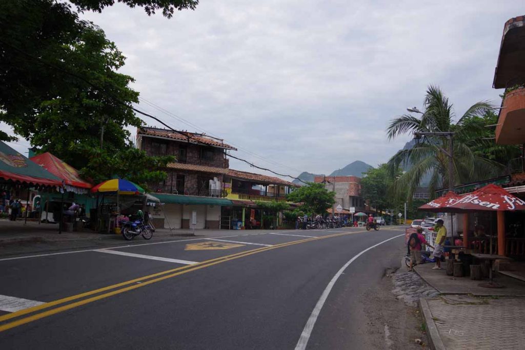
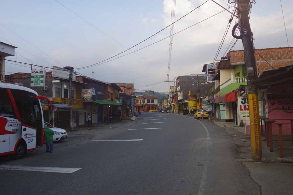
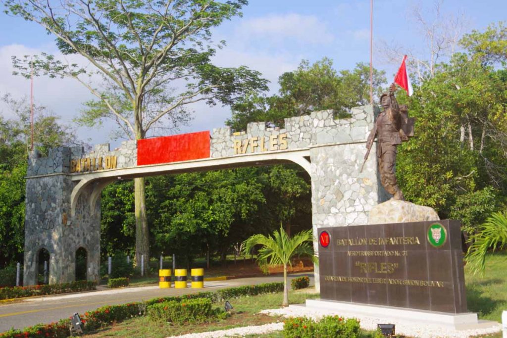
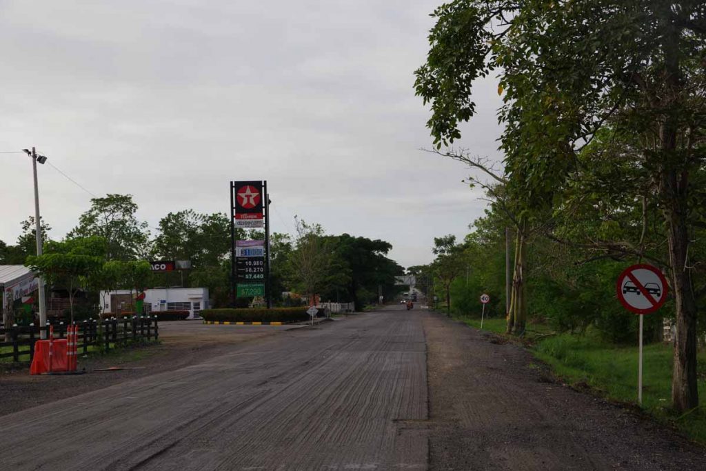
Made my way to larger city of Sincelejo, though my “maps.me” application somehow didn’t point me at right location for the hotel. Hence, found a spot near the main highway outbound from town. A nice restaurant nearby but no internet.

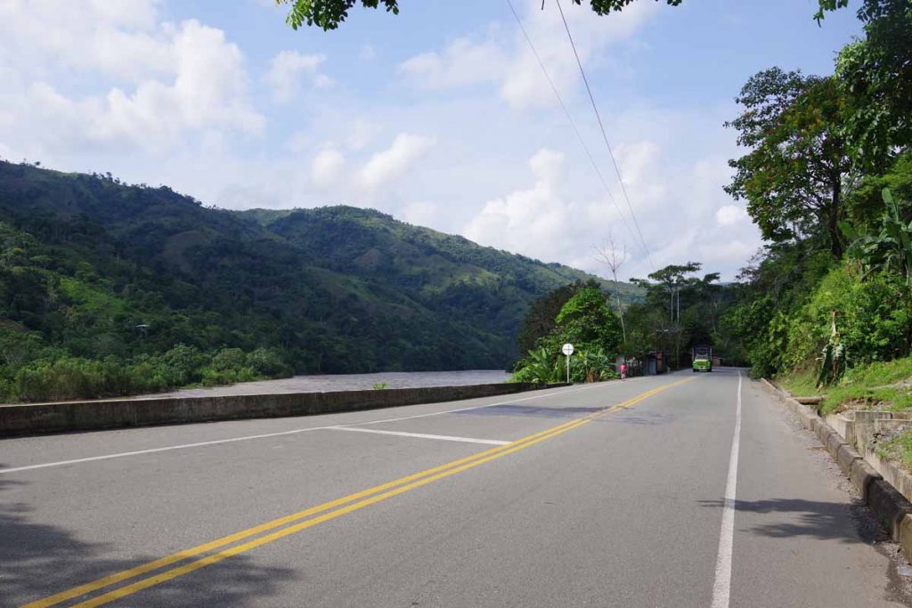
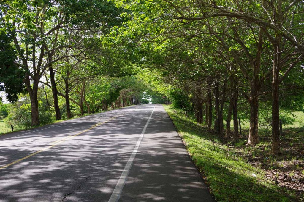
Once again out on the road early. It started near 22C (71F) but warmed steadily through the morning. The road was mostly flat for first half of the ride and then hilly in the second half.

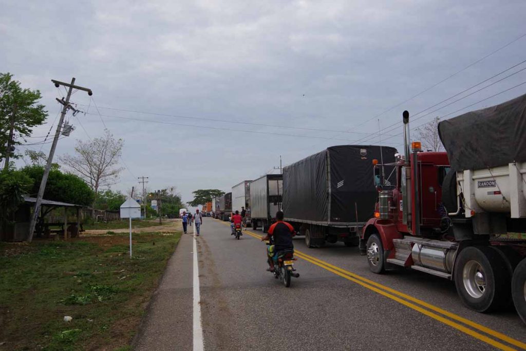
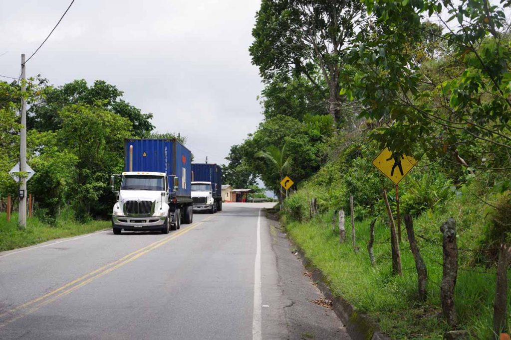
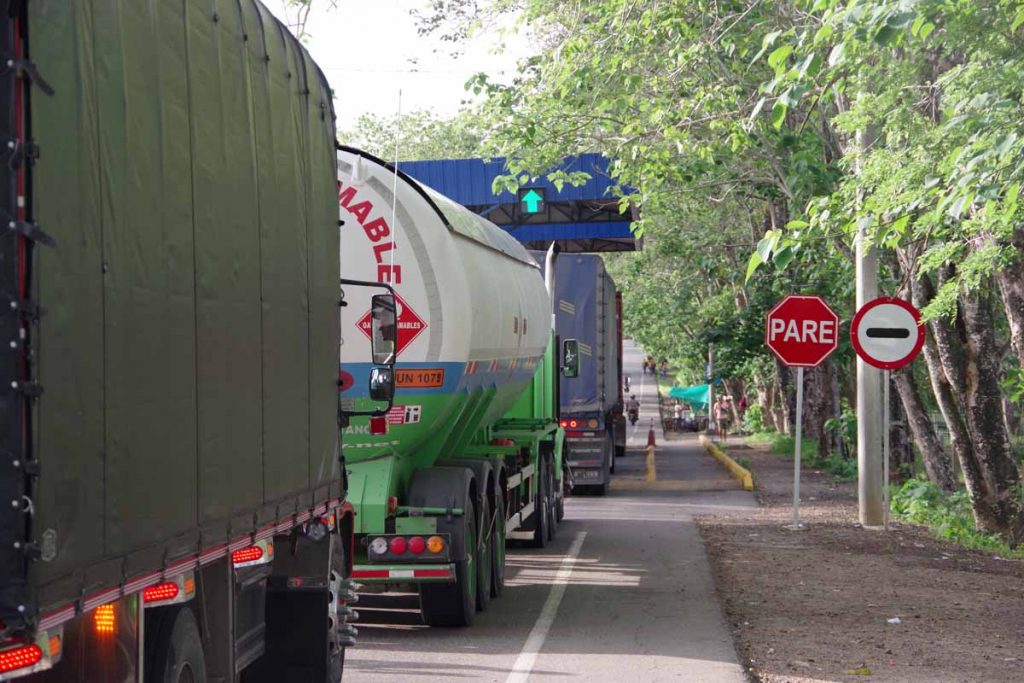
At the 6km mark, there was a long line of trucks backed up and no traffic from the front. I carefully cycled in left lane to figure out what was going on. It looks like a local protest had blocked the road. There were branches spread across the road and a set of young people on top of those branches – keeping the road blocked.

Nearby were half a dozen police officers. I looked at the officers with a puzzled look. They motioned over to the side to tell me to carry my bike over the branches on side of the road. So carefully walked over and kept eyes open as I walked over the barricade. All the trucks and even motorcycles were stopped, but somehow it was ok for a bicycle to pass.

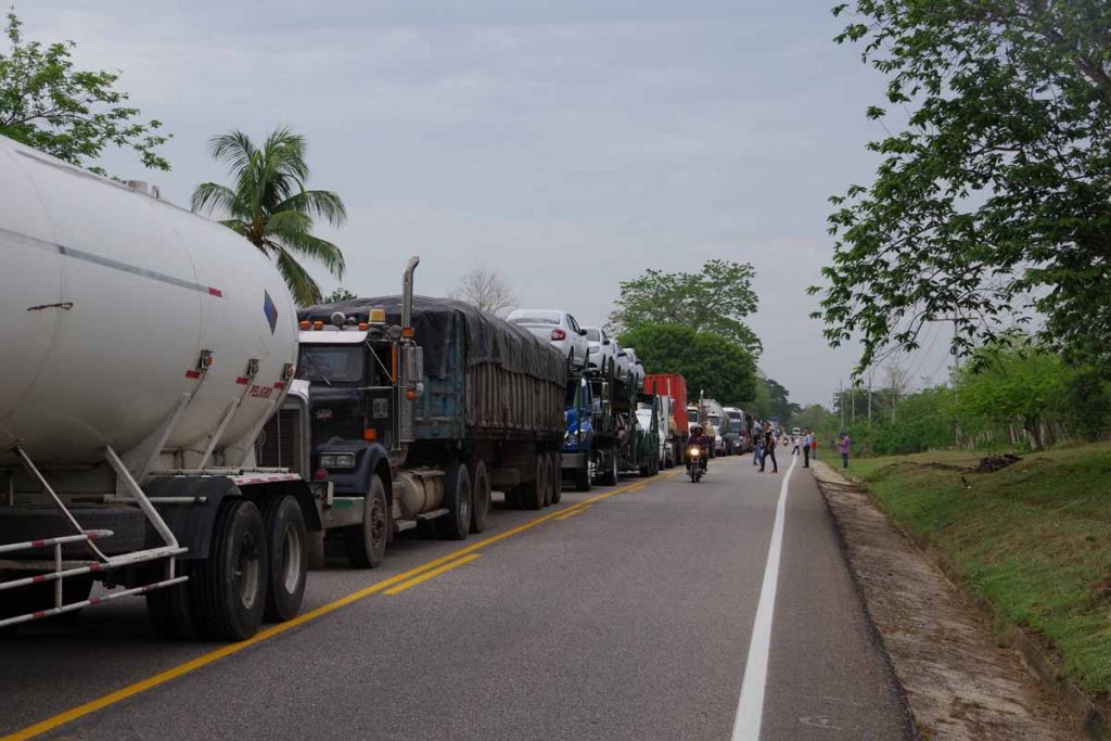
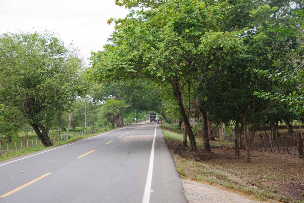
After that passed the long line of trucks waiting the other direction. The road became pretty quiet with no traffic from behind and only occasional vehicles from front. Otherwise pleasant cycling though occasionally with a rough road.

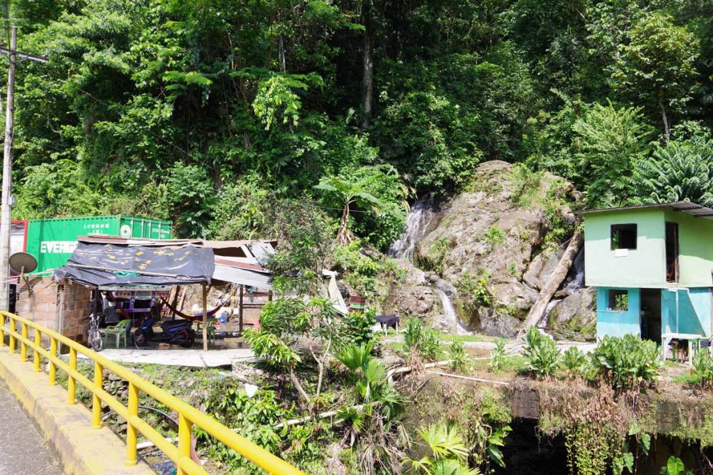
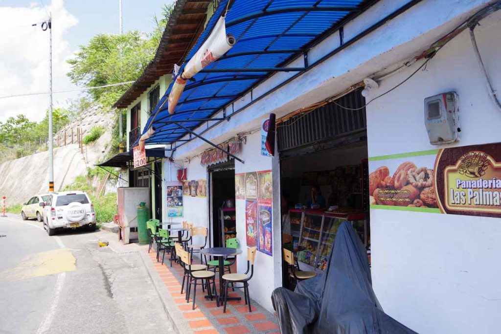
At 27km, I came to small village and stopped for a snack. Right about this time, a large number of cars and trucks came past. Apparently, the roadblock was now over. I waited a bit to let the worst of the traffic pass. After this point started having some small hills.

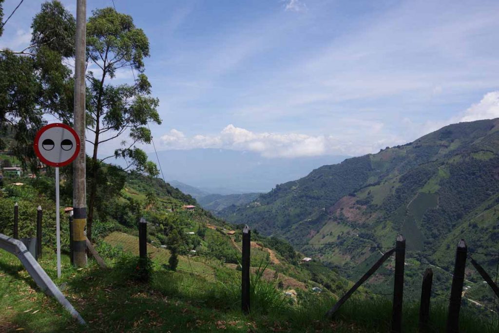
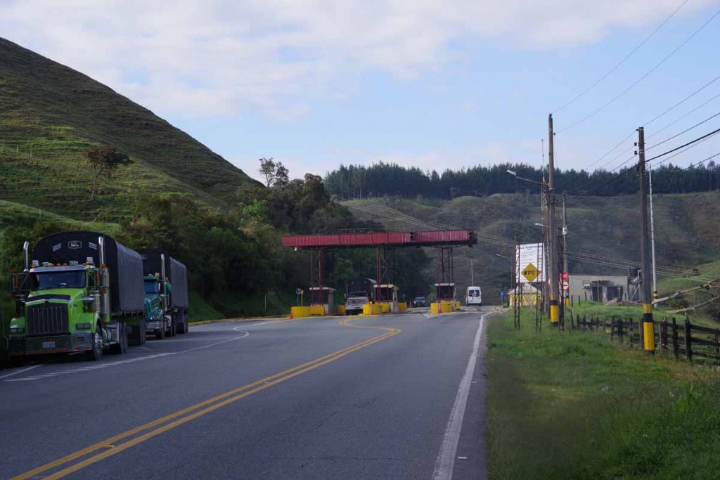
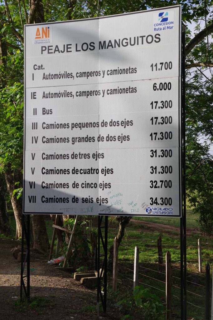
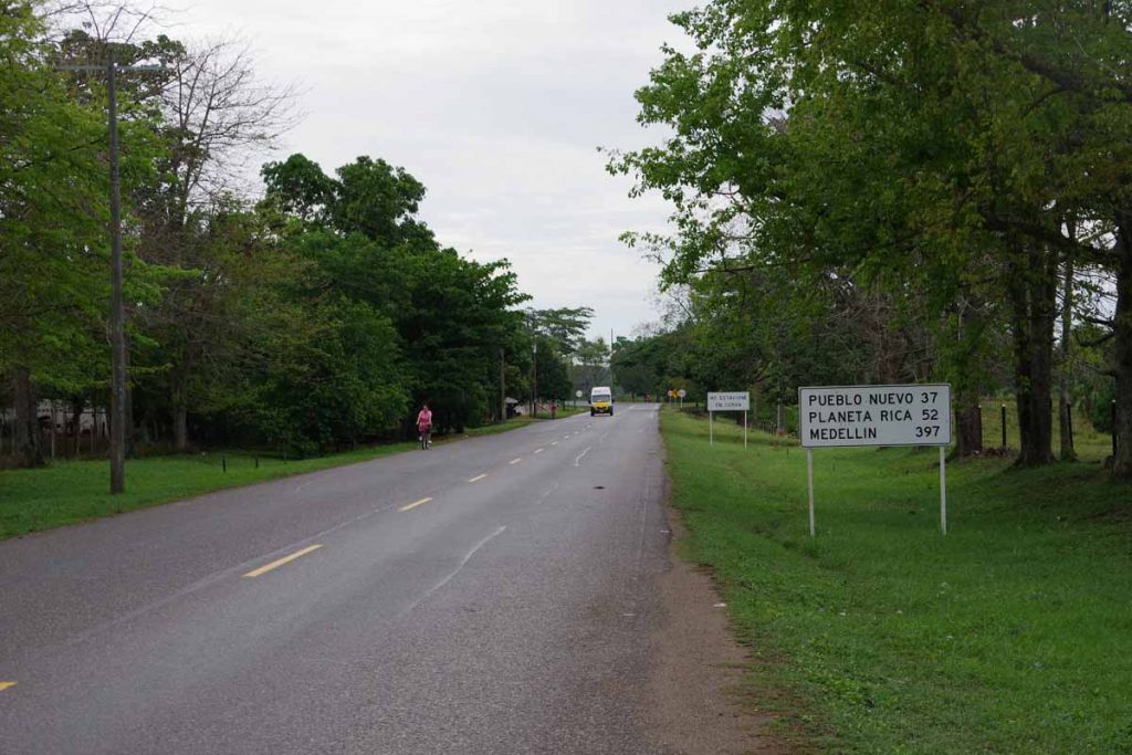
At 36km was town of Tolo Viejo and shortly thereafter the road joined with another major road. It became a four lane divided highway and briefly went past a toll road. The hills continued and by now it was getting warm.

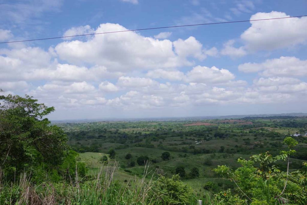
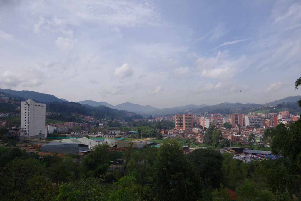
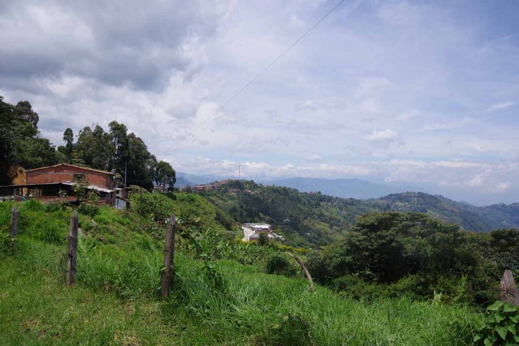
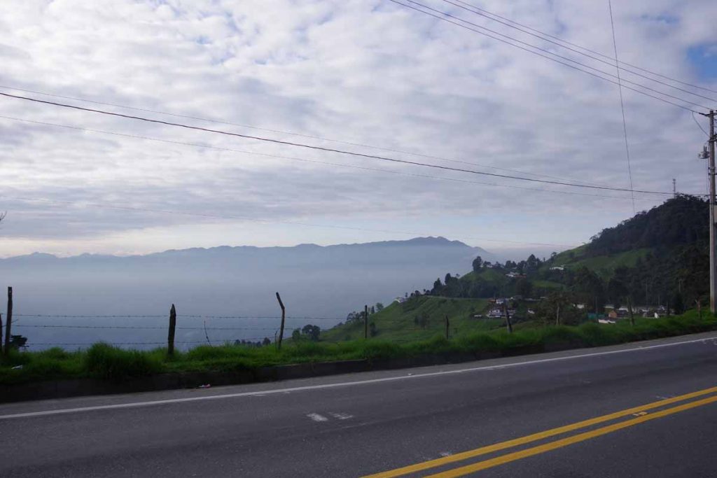
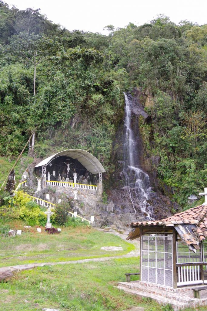
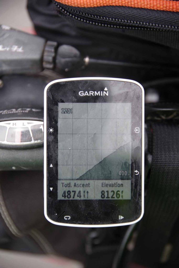
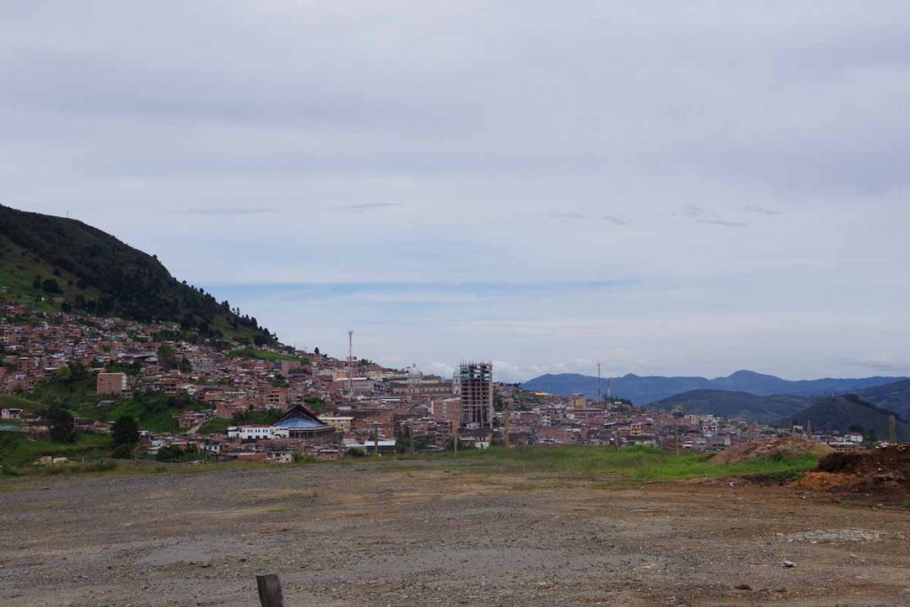
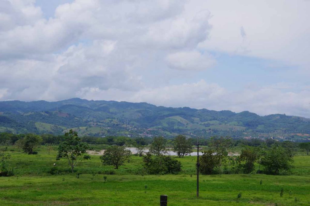
Stopped one more time for a cold coke and to cool down a bit. Shortly thereafter made a steady climb up to Sincelejo. Nice views over the country side.

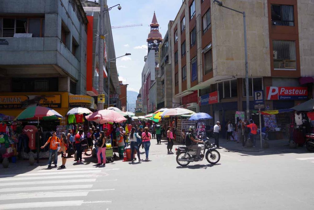
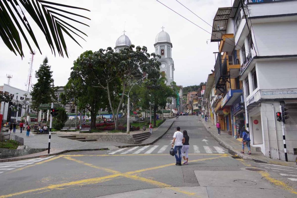
I have an Android app that pointed me to a hotel I had picked: Hotel Arawak Plaza, presumably next to the plaza. I cycled straight into the city.

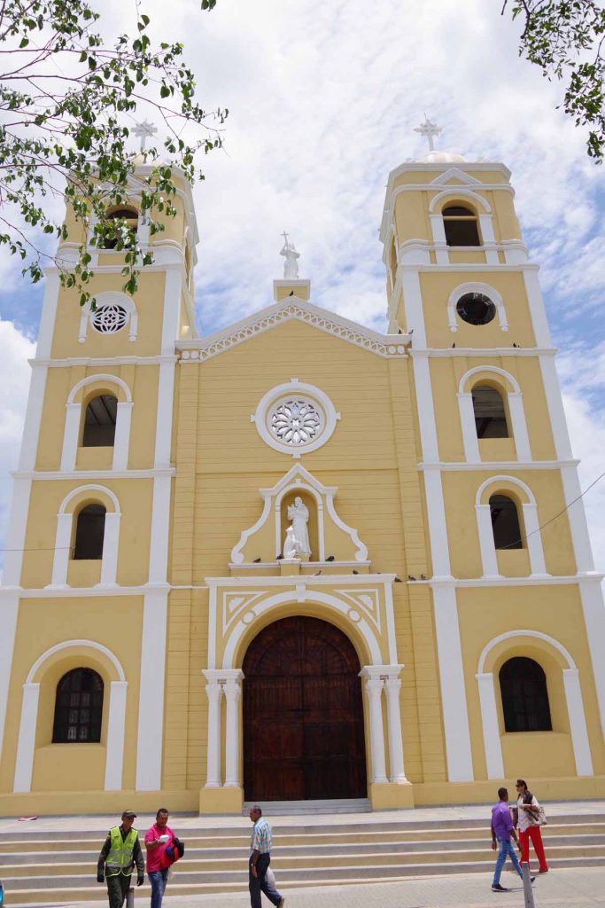
Came right into center of town, presumably also the plaza. I should have looked around here a bit more, since often hotels are found right next to the town square. However, followed my map and discovered there wasn’t a hotel where I expected.

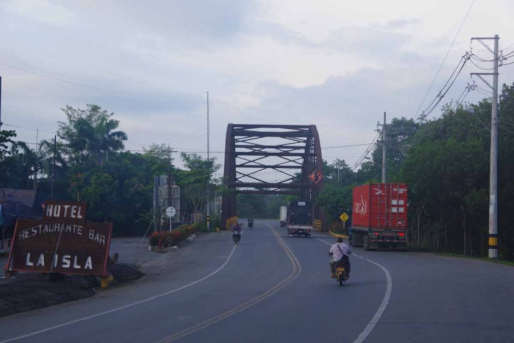
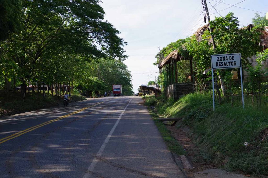
By now I was already headed “outbound” and knew from other blogs there would be something at road intersection leaving town. Hence, cycled to this road intersection. It was warm enough that decided it would make for a good stopping point and chance to tackle road ahead tomorrow morning.
Day Two
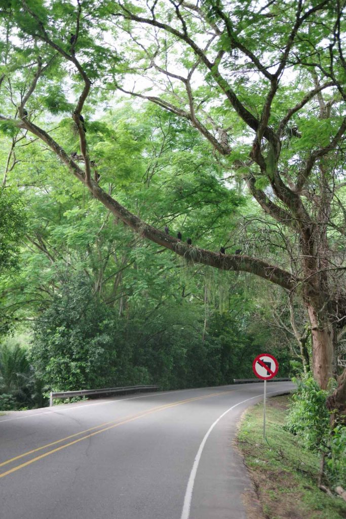
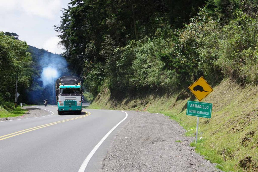
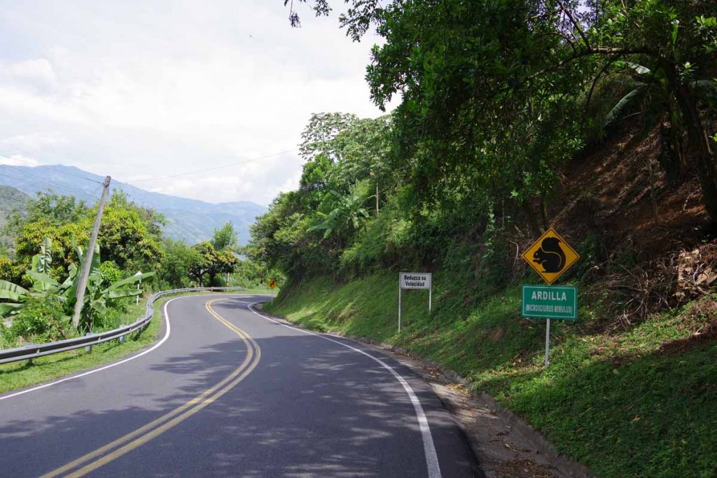
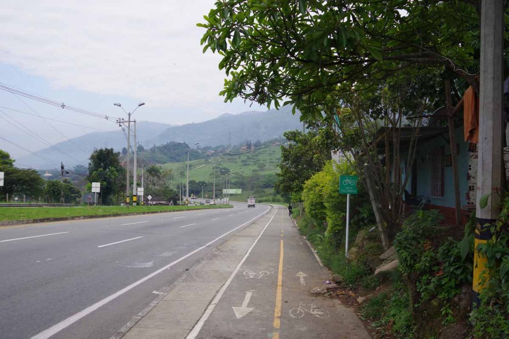
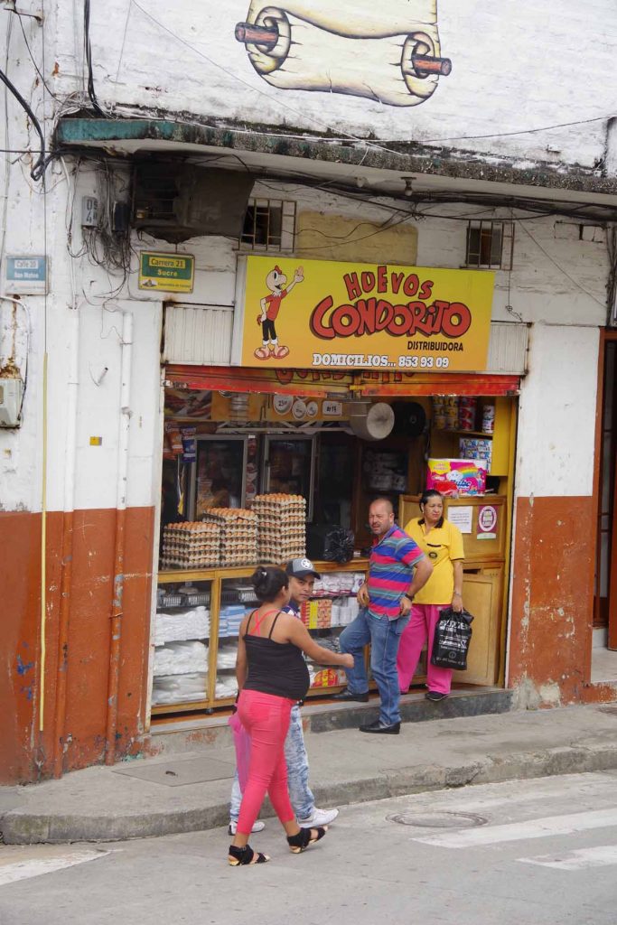
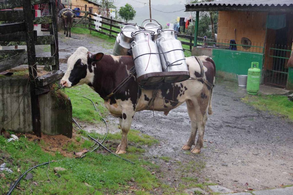
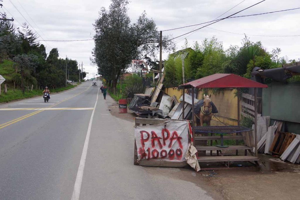
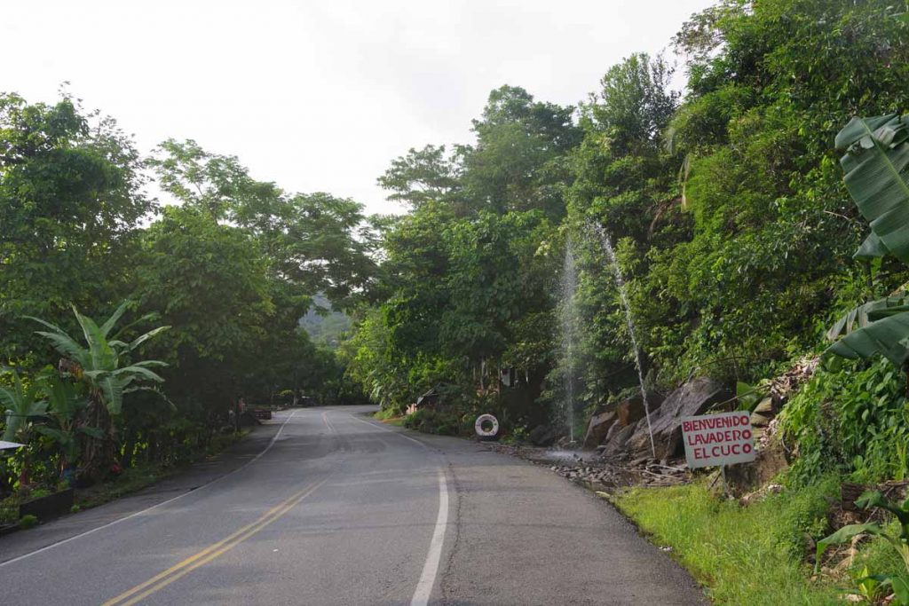
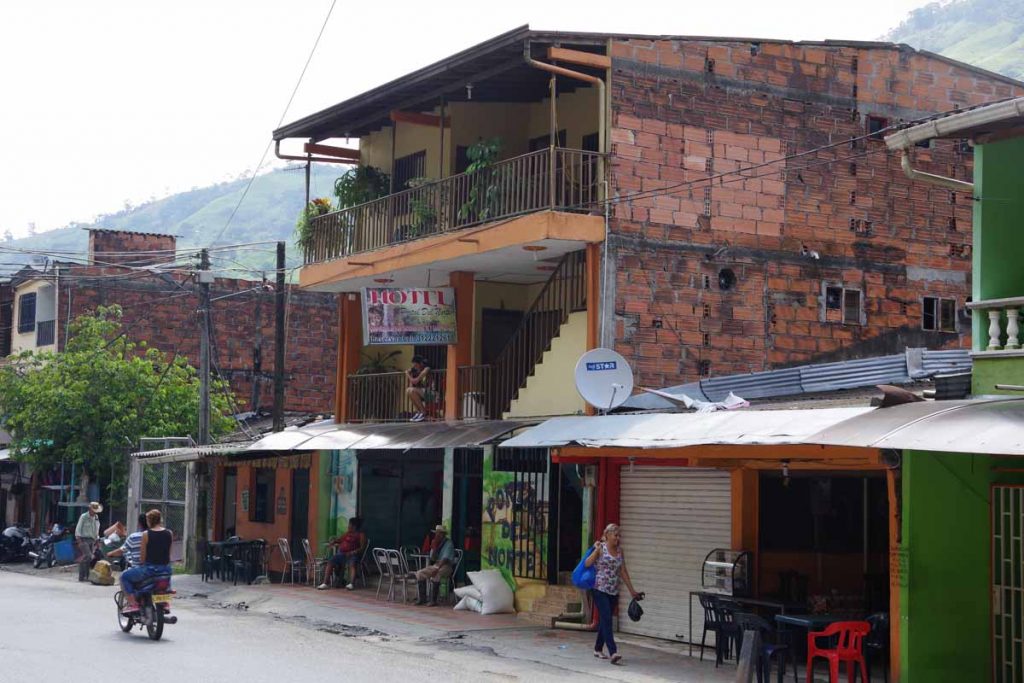
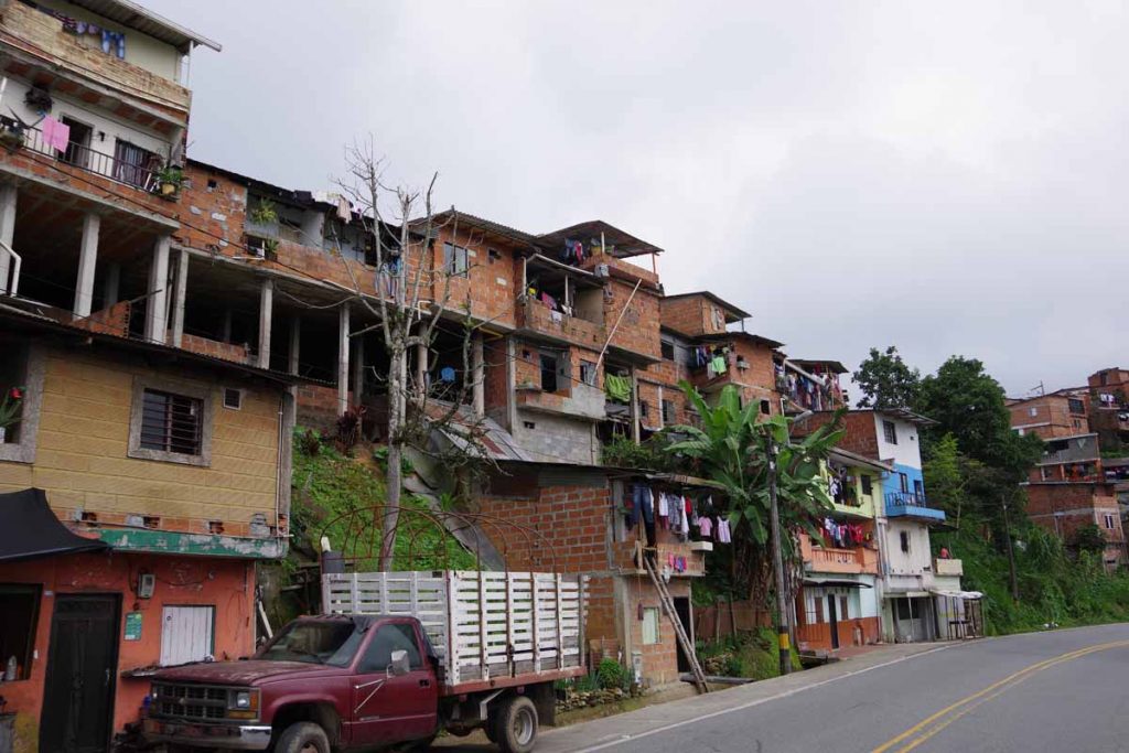
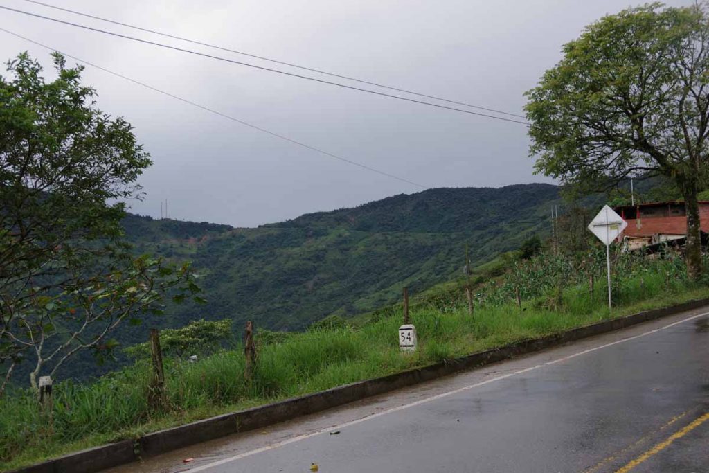
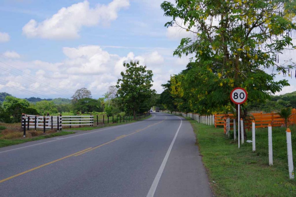
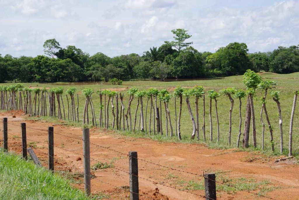
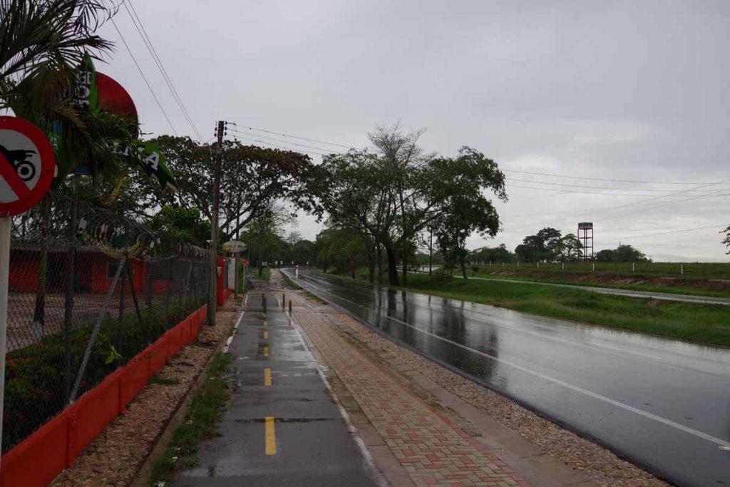
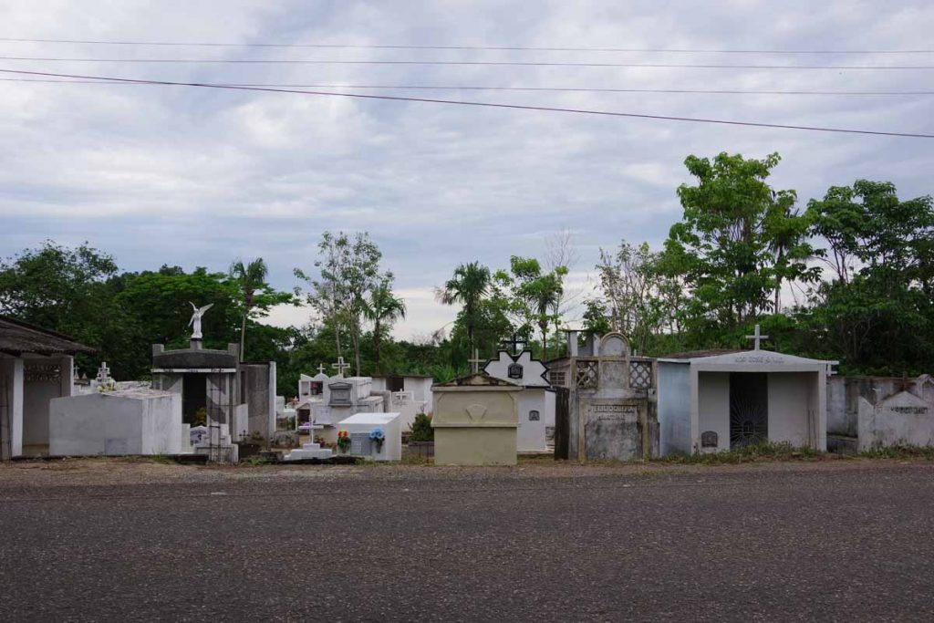
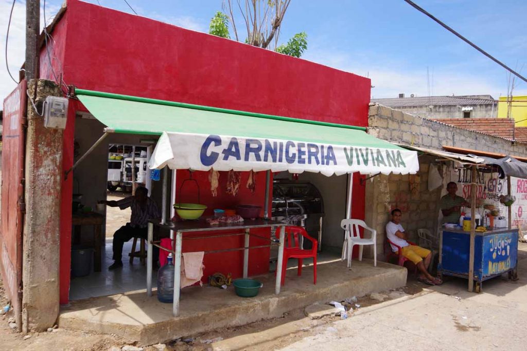
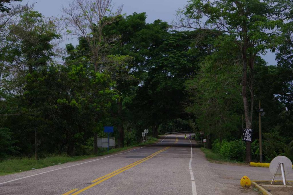
Misty overcast morning as I started today. Children go to school early as I passed many walking along the highway when I was riding at 6:30am. Roads continue to be reasonable, in terms of road condition, traffic and shoulders. Overall, like cycling in Colombia so far.
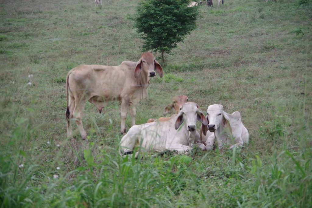
Family portrait.

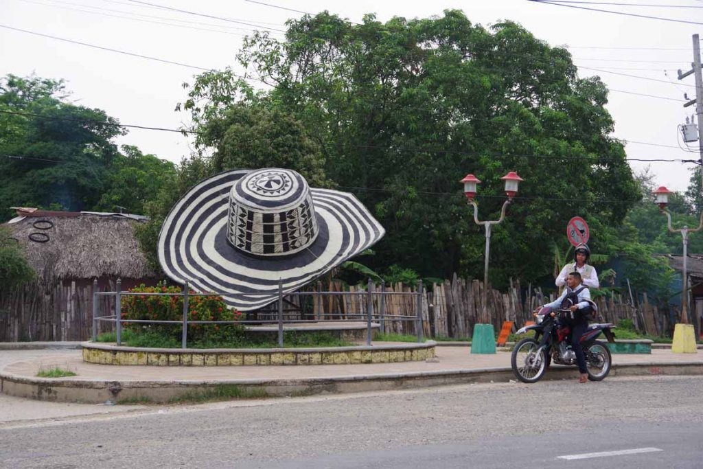
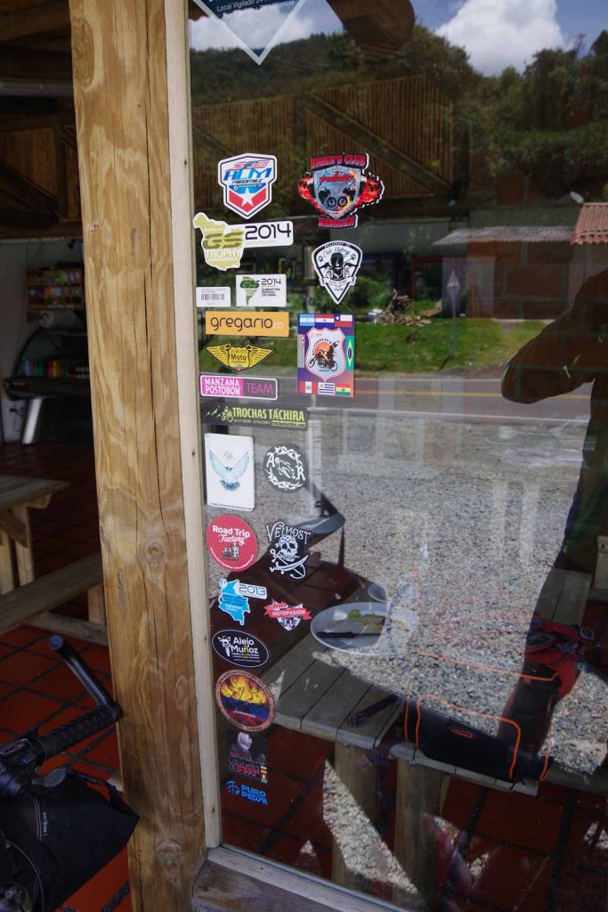
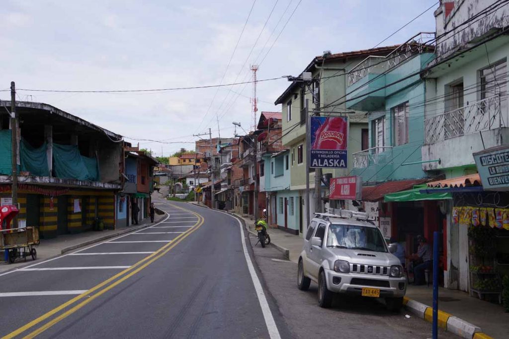
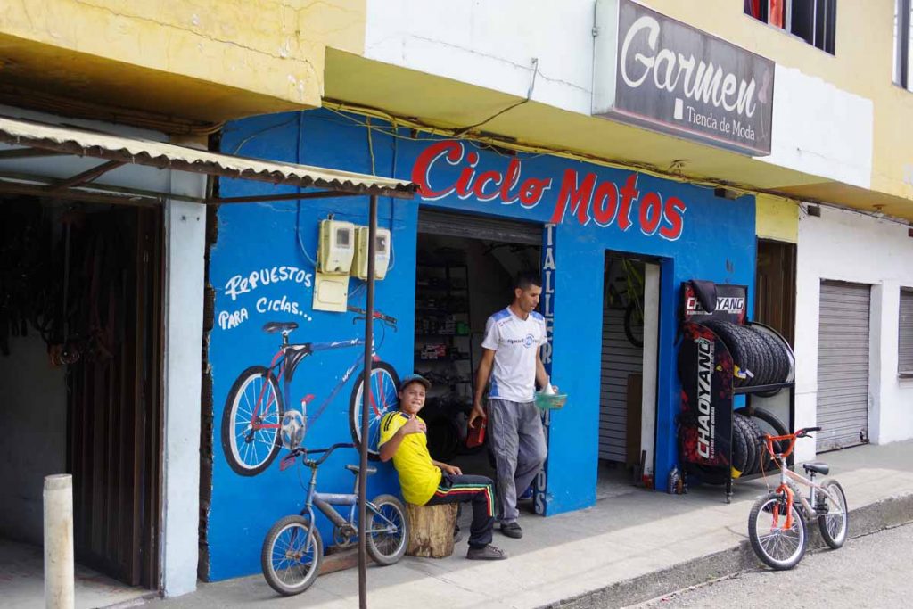
I see these Colombia hats occasionally worn. The town of Chinu had this large hat, but also many smaller shops selling them as well. Also saw several signs for “artisan” as well.

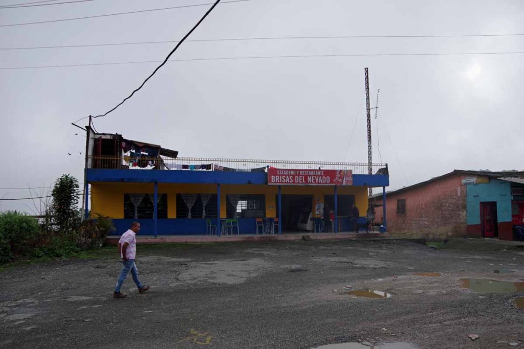
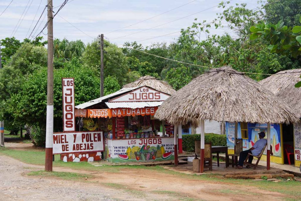
At 27km, it was time to stop for a cold drink. It was still relatively cool. Other journals had described the route today as “hilly”, though then it turned out easier than expected. Still made it a shorter day as this is how the towns lay out.

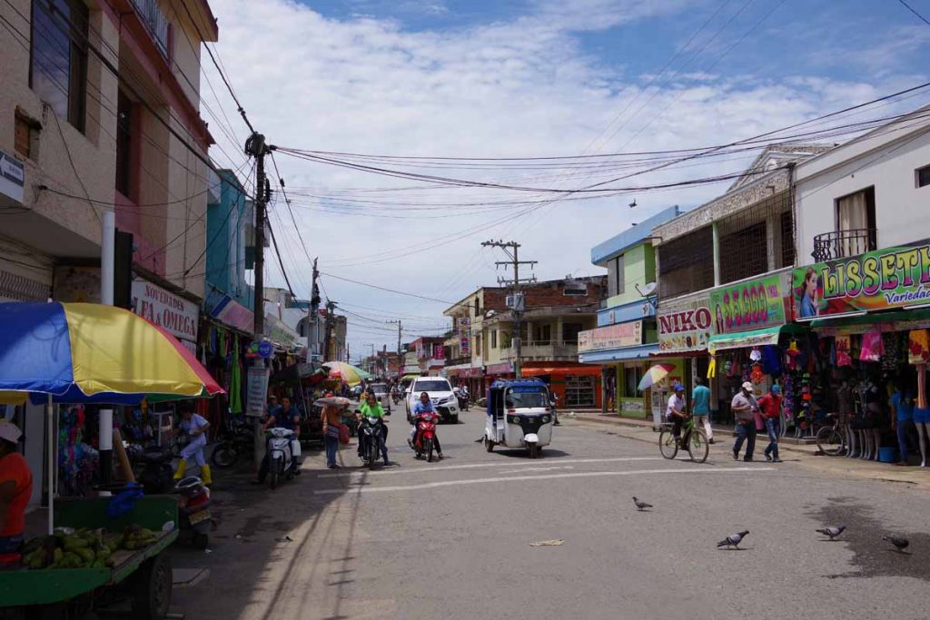
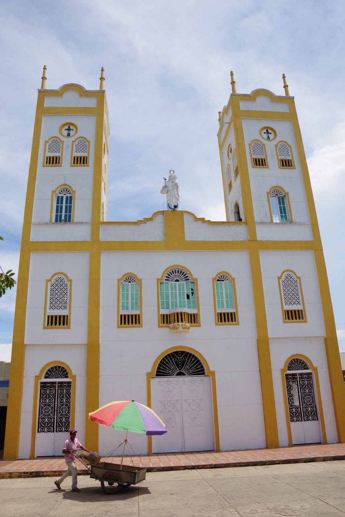
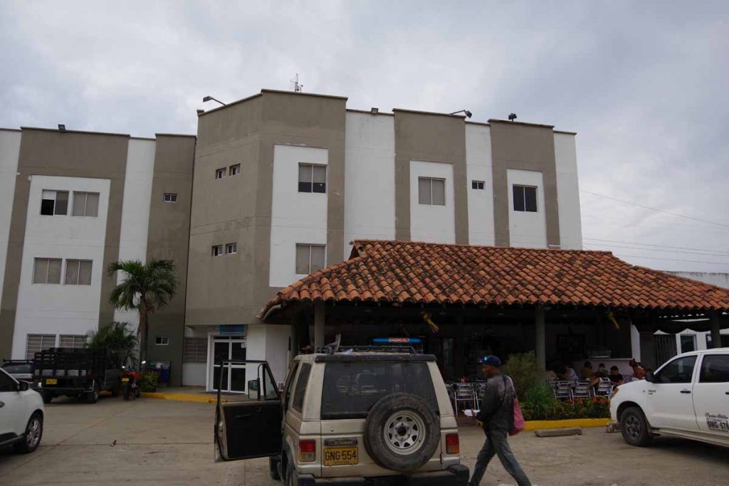
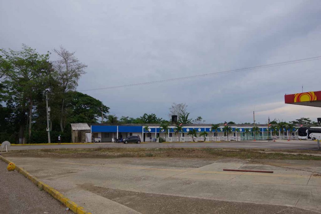
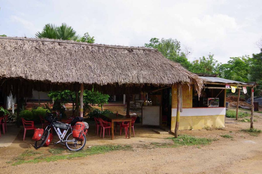
At 42km I went into town of Sahagun to find a bank. Typically can be found around the town square. It took a bit, but found my way first into the middle of the town and then back out. After that, headed for a hotel that had been listed in one of the blogs I’ve followed. They were full, so continued southbound. A few kilometers south of town there was a hotel and restaurant. I first had lunch in the restaurant and then decided to stay in hotel (wifi is only so-so, but otherwise one of the nicer places I’ve stayed).

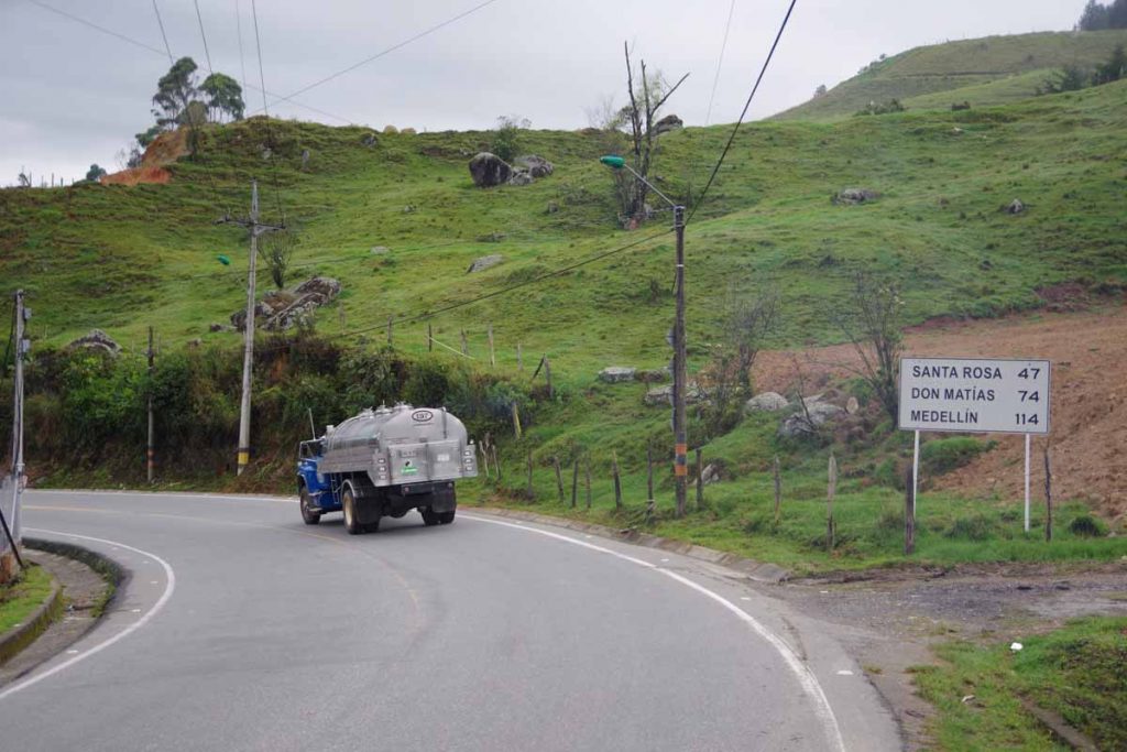
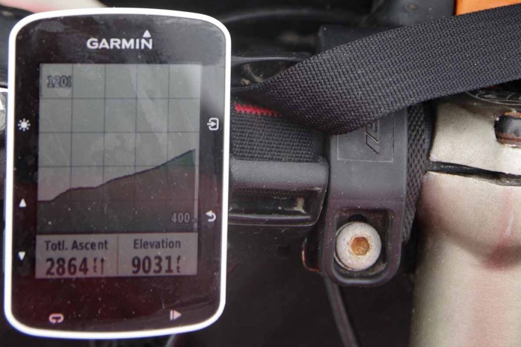
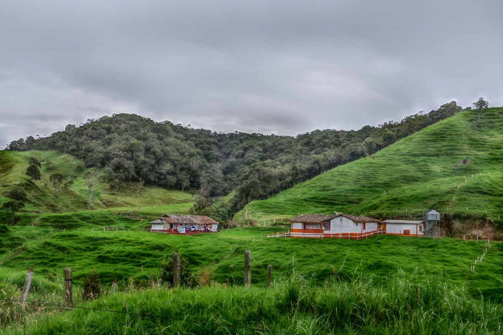
Otherwise having fun on a slow cruise through countryside of Colombia. I expect ~200km from here I’ll enter first a river valley and then have substantial climbs into the Andes over to Medellin. Elevation should make for cooler temperatures though also a lot more climbing.

Posted in Colombia

San Onofre

A bicycle ride across the Americas Posted on 2017-04-17 by mev2017-04-17

Another easy ride today. Cooler temperatures and overcast. Weather forecasts called for thunderstorms, particularly in the afternoon. In the morning it was humid but never over 30C (86F).

Photo of the hotel from last night. It was at a major road intersection and cost 30,000 pesos (~$11). Reasonable restaurant attached to the hotel, though not much in way of stores. I was able to find some tuna and bread for breakfast which I had starting out.

The road started out a bit rougher and narrowed than yesterday, though the first 40km were pretty flat. I was looking for a place for second breakfast. I saw a few restaurants and a few roadside stands, though nothing very inviting until Palo Alto at 42km.

Here was an example of a gas station hotel near the 20km mark. There were several small villages along the way. Basic housing and surprised to see as many people as I saw in these places.

I think this belching factory might be palm oil but not 100% sure. I did see a number of palms today.

Stopped in main intersection for Palo Alto. There was small religious shrine here. Assume Colombia is a catholic country, though I only noticed one church busy with Easter services when I cycled past yesterday.

I have seen more burros here, some with people riding and some carrying goods. This seems like a relatively poor region, not sure if this represents all of Colombia or just a poorer section overall.

At 60km, I came into San Onofre. A little past the turnoff to the town, there was a place advertised as “hotel y restaurant”. I stopped and had lunch here for reasonable 12,500 ($4.50). While it was still early, also inquired about the rooms and these were reasonable 25,000 ($9), so decided to make it a shorter day, This lets me get into larger town of Sincelejo tomorrow.

Picture above shows the water pipe for the shower. There is one temperature, not hot but also not very cold either.

One interesting milestone today: the sun is definitely north when overhead at midday (if it were visible today). I am south of 10 degrees and the declination is now north of 10 degrees. Still a ways to the equator (near Quito), but from here on out through South America, I should always have a midday sun to the north.

Posted in Colombia

Post navigation

← Older posts
Newer posts →
©2025 - A bicycle ride across the Americas - Weaver Xtreme Theme
↑