↓
 

A bicycle ride across the Americas

from Deadhorse (SCC) to Ushuaia (USH)

  • Home
  • Plan
  • Blog
  • Photos
  • FAQ
    • Why?
    • Where?
    • What next?
  • Map
  • Equipment
  • Calendar
  • Countries
    • USA
      • Alaska
      • Montana
      • Wyoming
      • Colorado
      • New Mexico
      • Arizona
      • California
      • Texas
    • Canada
    • Mexico
    • Guatemala
    • Honduras
    • Nicaragua
    • Costa Rica
    • Panama
    • Colombia
    • Ecuador
    • Peru
    • Bolivia
    • Chile
    • Argentina
  • Weather
  • Links
  • Contact
Home→Categories Peru - Page 2 << 1 2 3 4 >>

Category Archives: Peru

Post navigation

← Older posts
Newer posts →

Chala

A bicycle ride across the Americas Posted on 2017-07-03 by mev2017-07-03

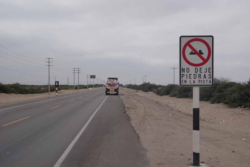
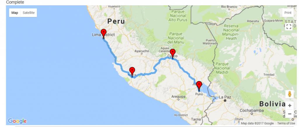
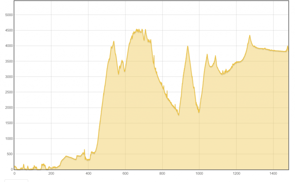
Today was a tougher ride than yesterday. The distance was almost the same both slightly over 90km. The climbing was only double 900m vs. 400m. However, what made things particularly tough was the wind in the afternoon.

Roughly by the numbers:

  • There is just over eleven hours between sunrise and sunset. I keep making the sunset a few minutes earlier as I pedal south.
  • I was out on the road for nine hours of that time.
  • Cycle computer gives me a very slow average speed of 12 km/h. This means about 7.5 of those nine hours were riding and another 1.5 hours were stopping along the way.
  • I know for most of the windiest 15km this afternoon, I was doing well less than 12 km/h

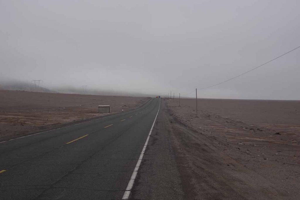
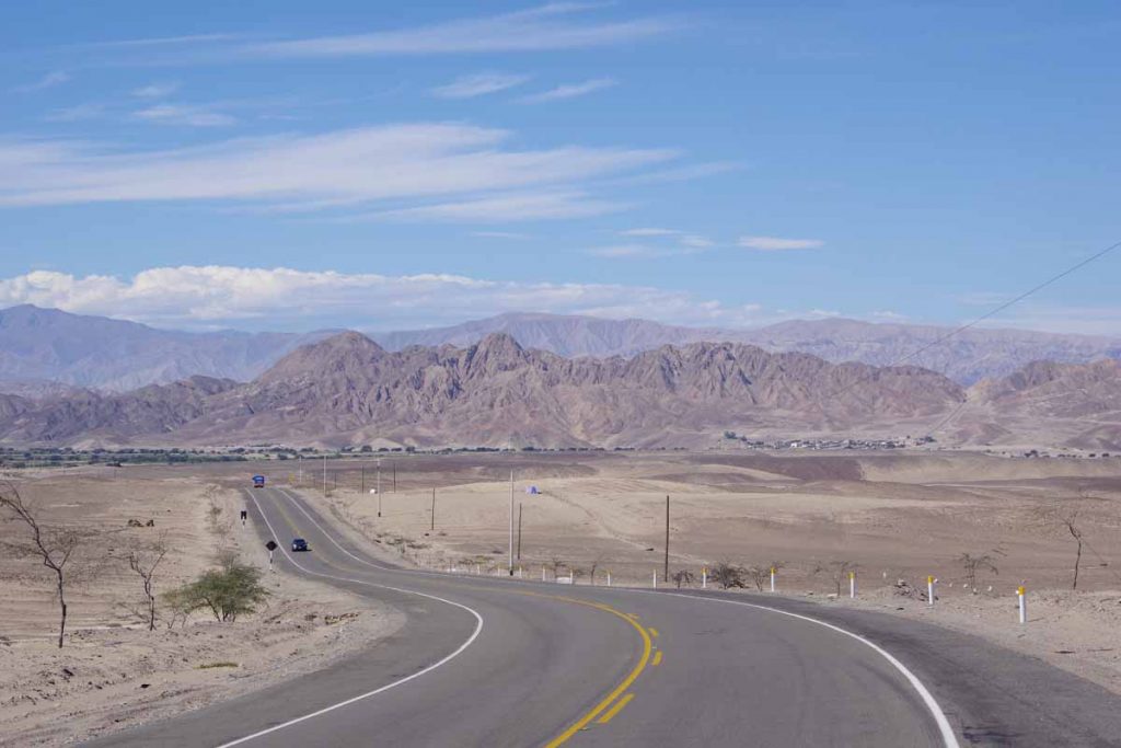
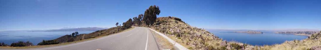
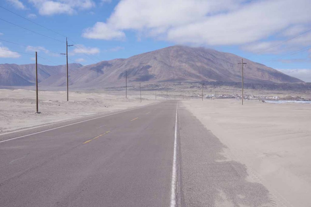
Above was the road once I reached the turnoff point again. Some rolling hills with occasional short grades reaching 7%.

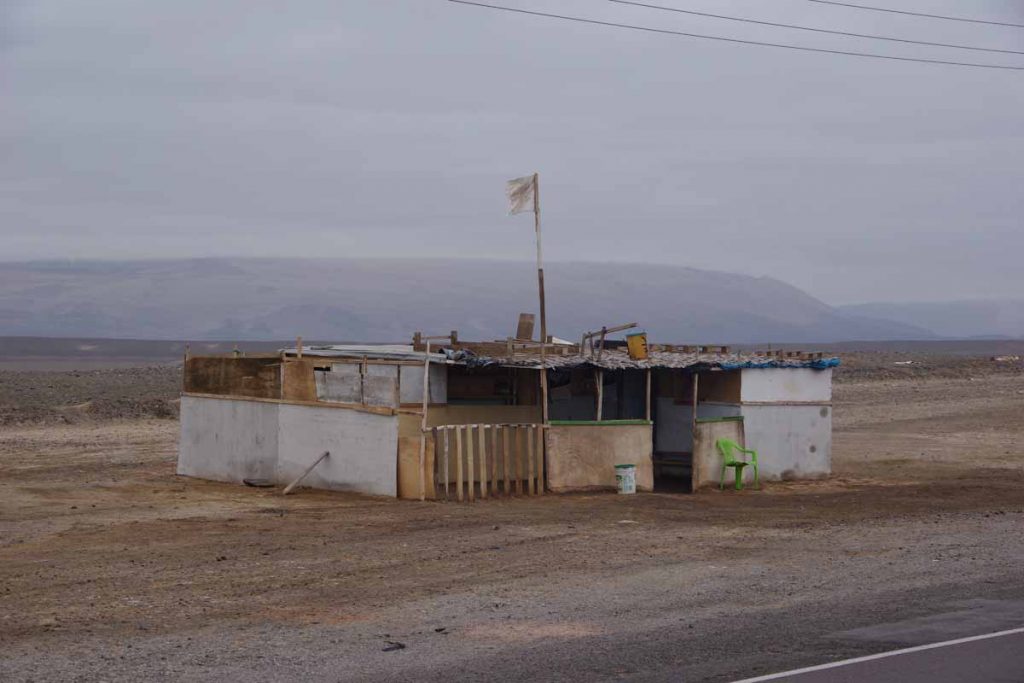
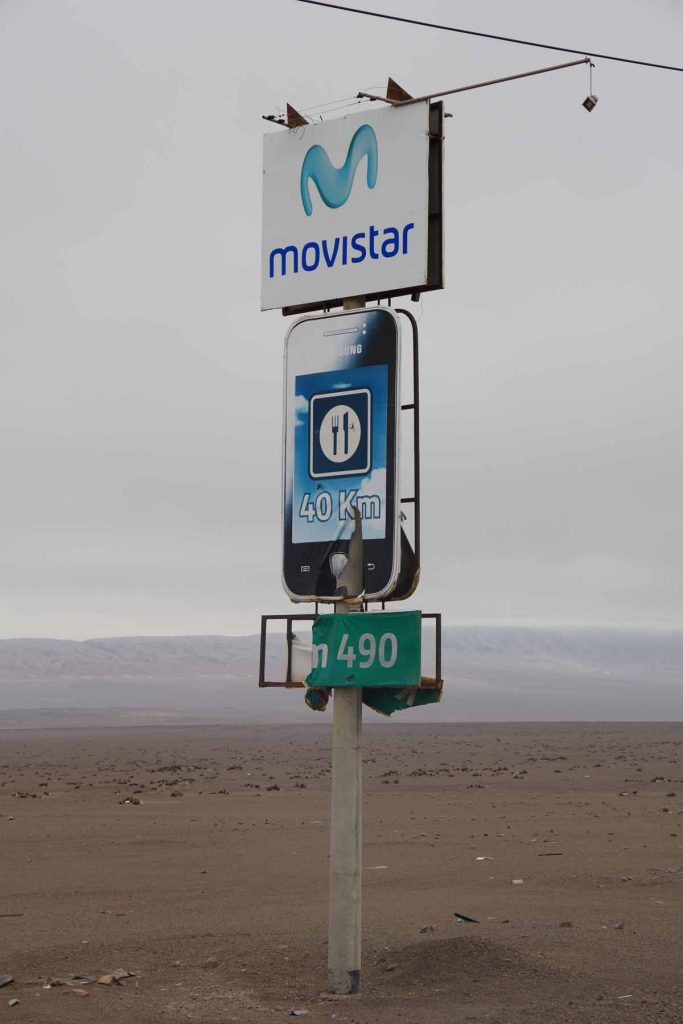
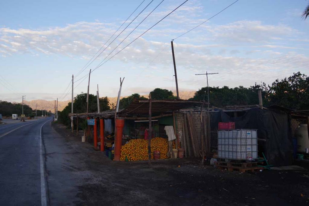
It was already windy some this morning as the flag on this shack shows, though not too bad.

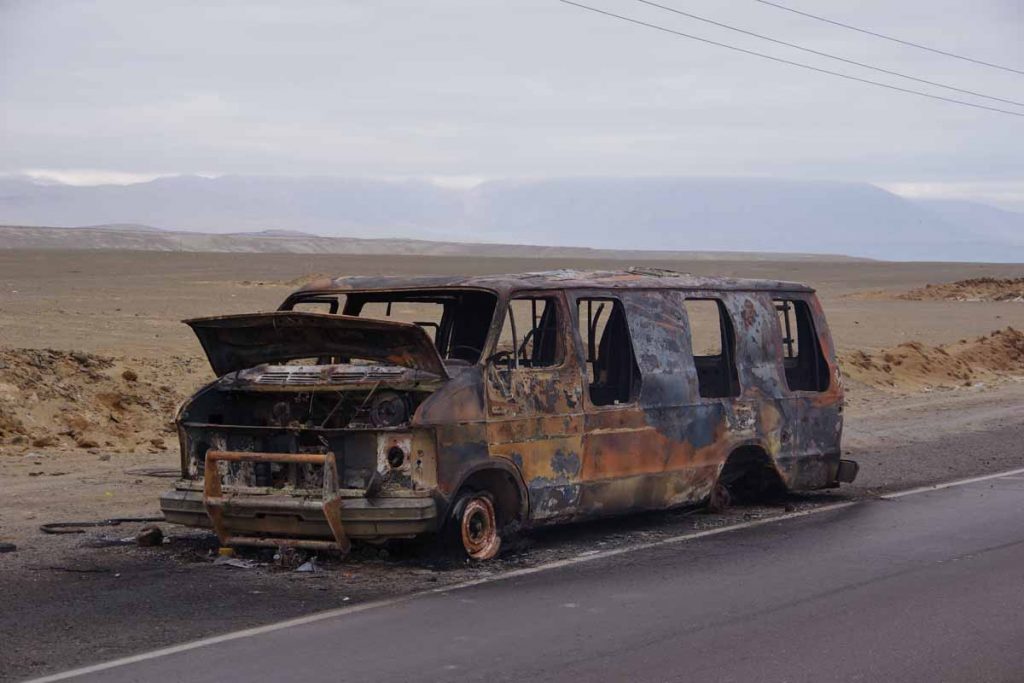
A burned out car along the road.

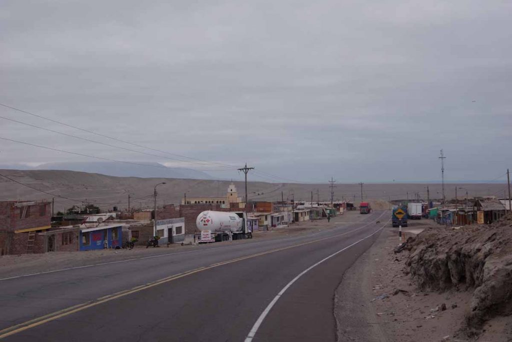
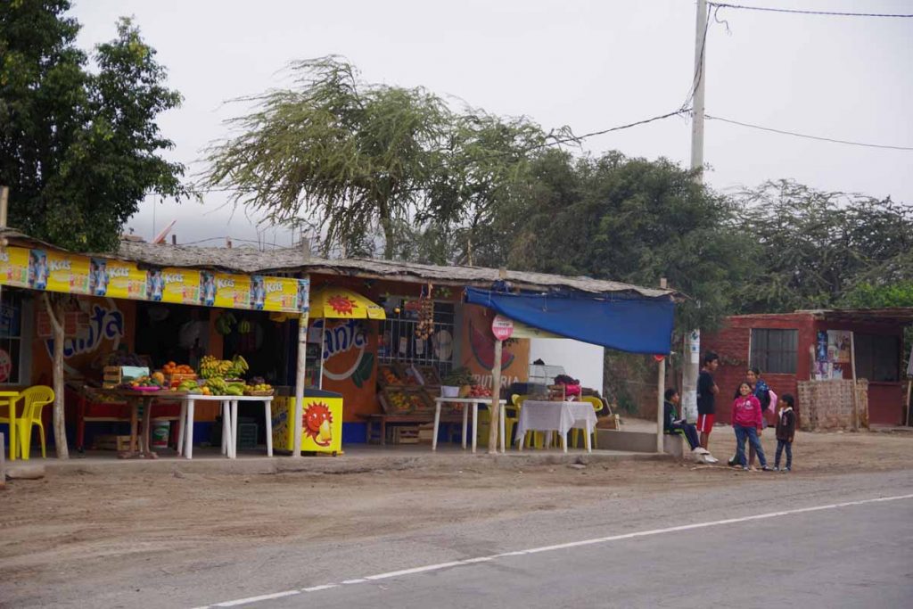
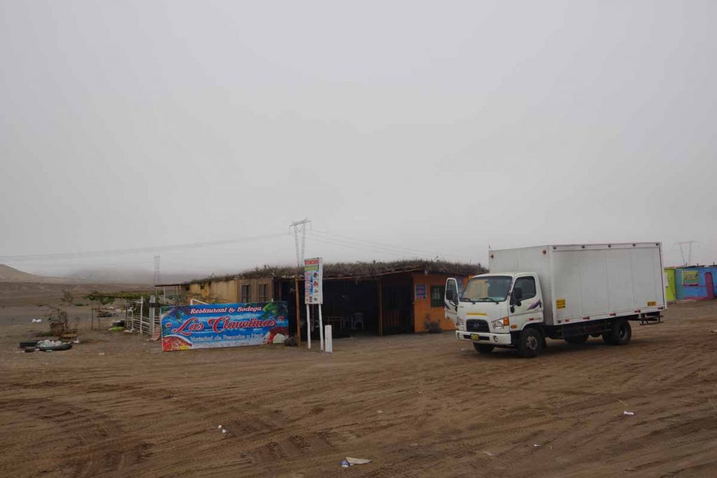
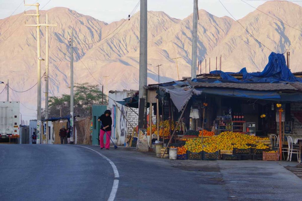
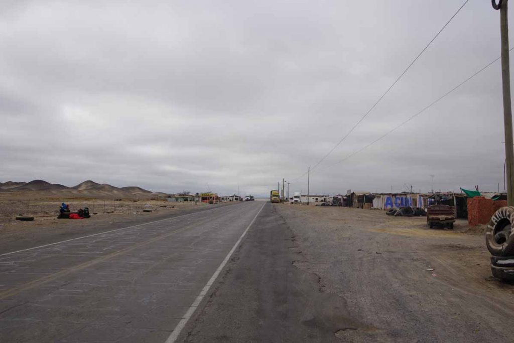
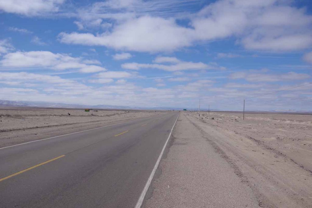
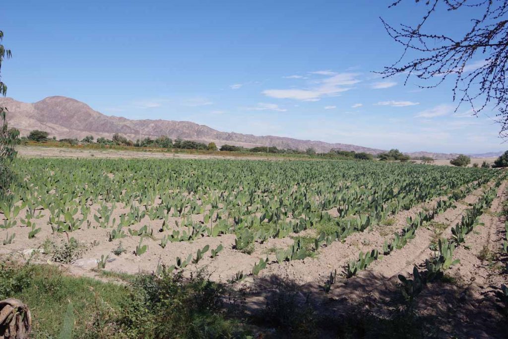
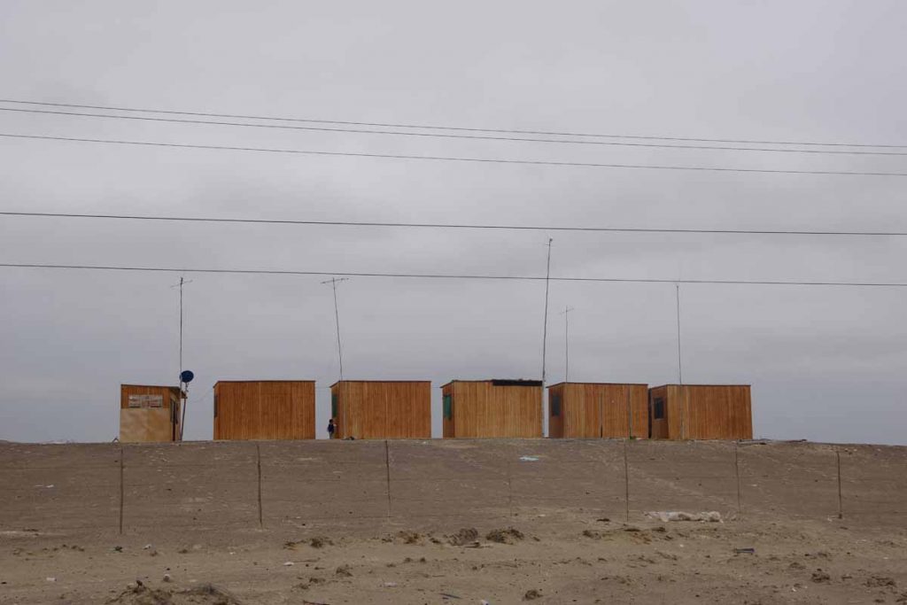
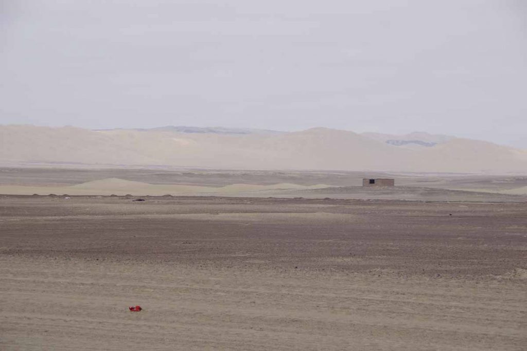
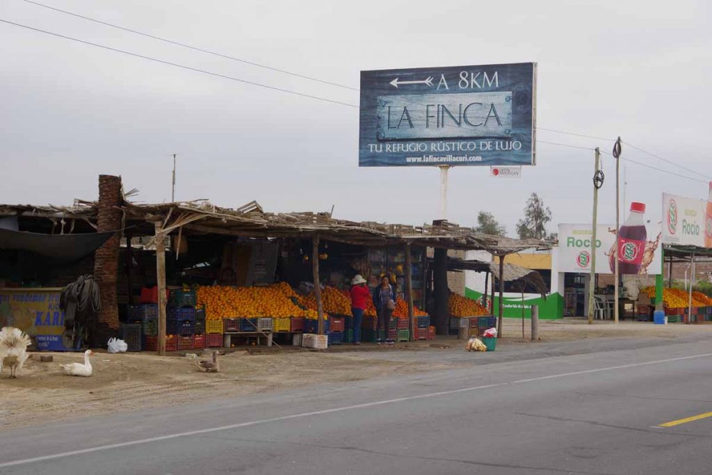
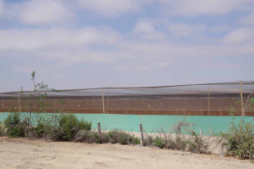
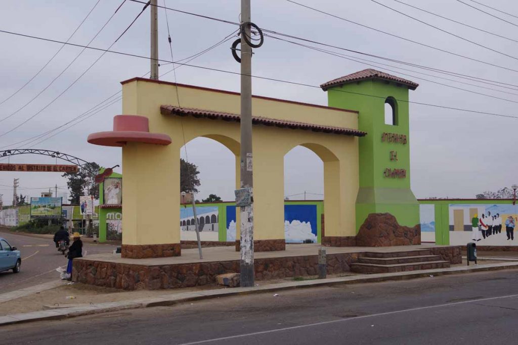
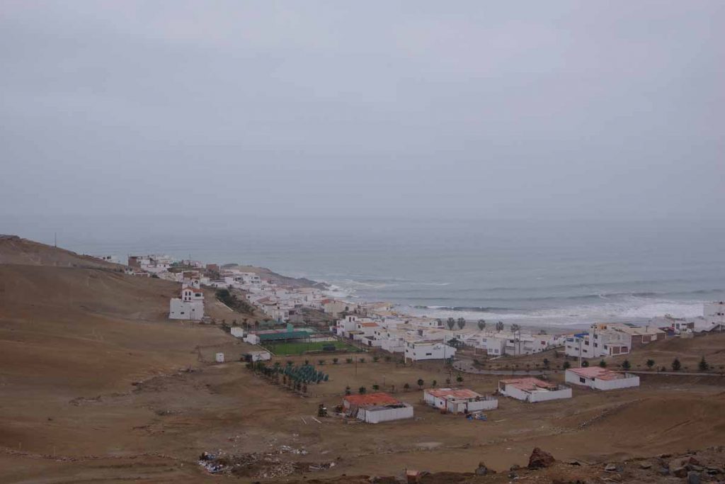
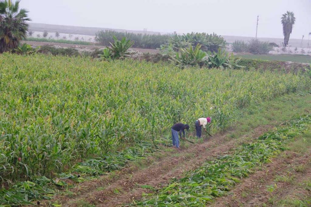
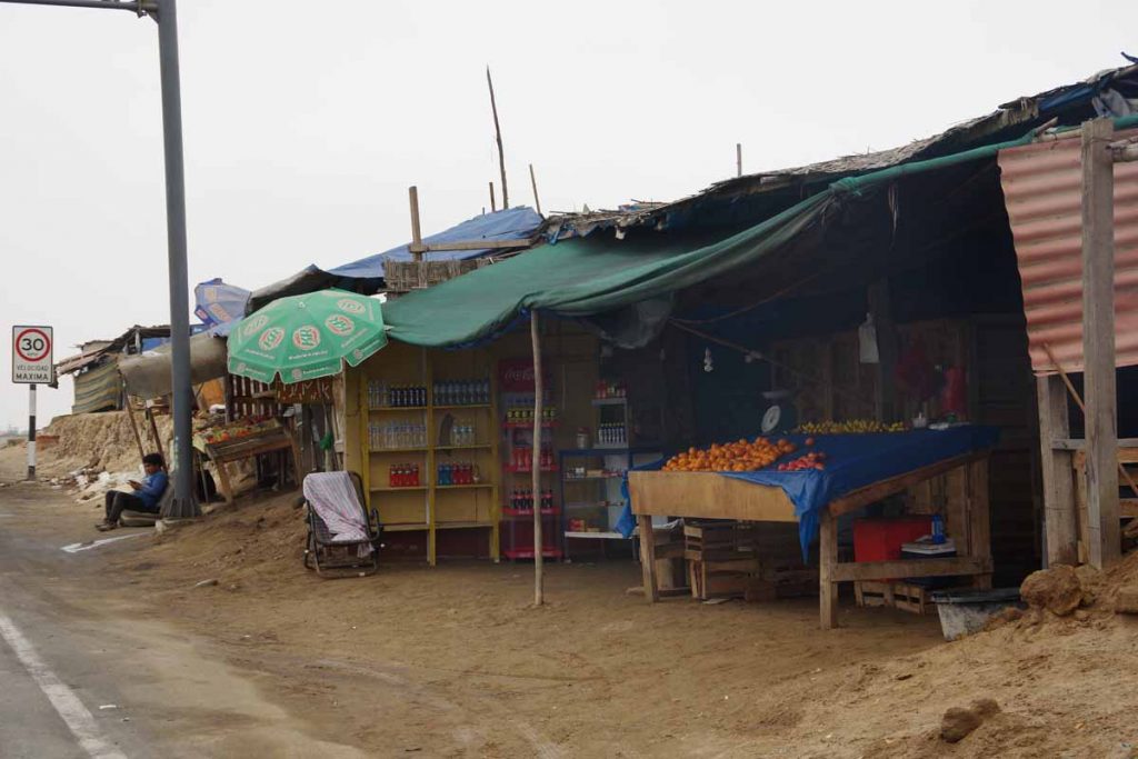
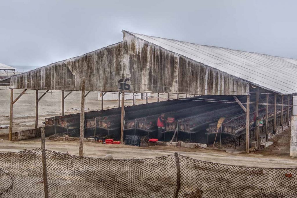
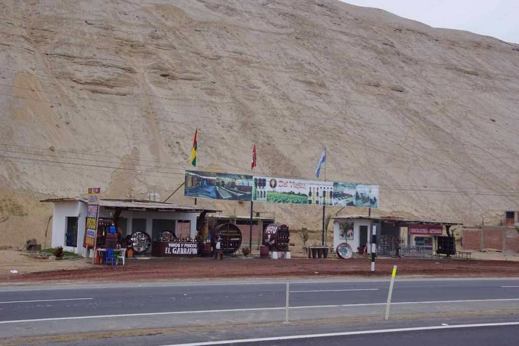
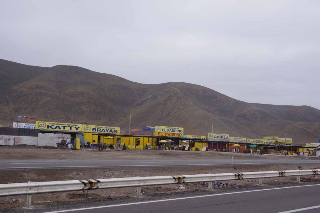
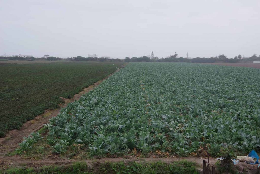
There were three villages like this along the way, along with one town (Yauca). Otherwise it was open desert areas. Yauca was in a valley with olive trees and for the rest I didn’t see agriculture.

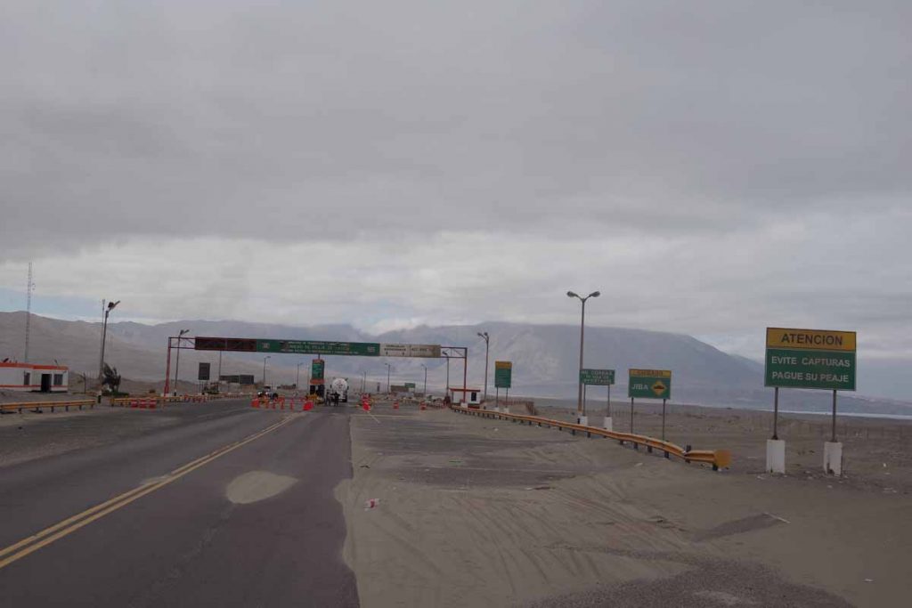
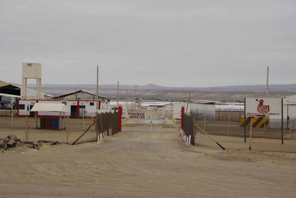
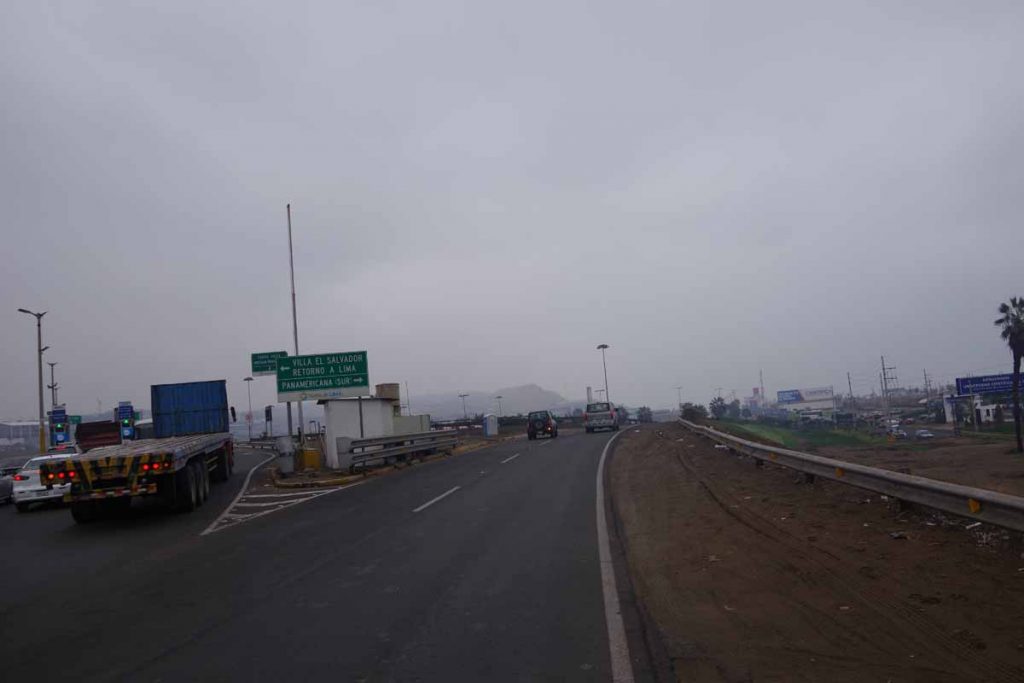
Just before Yauca was a toll booth. I found the sign that essentially said, “avoid capture, pay your toll”, interesting.

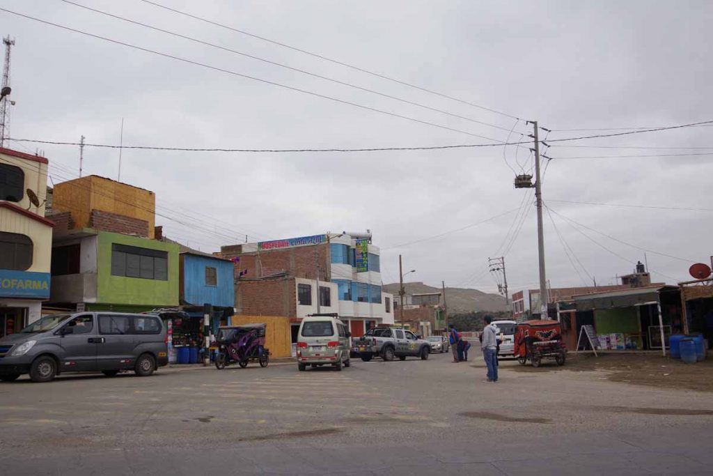
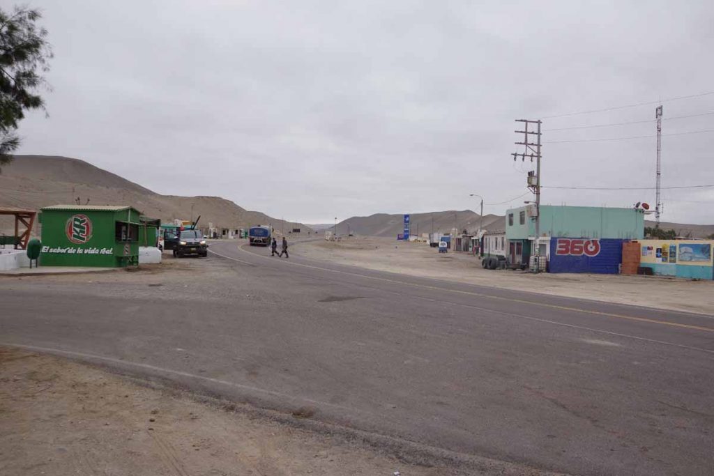
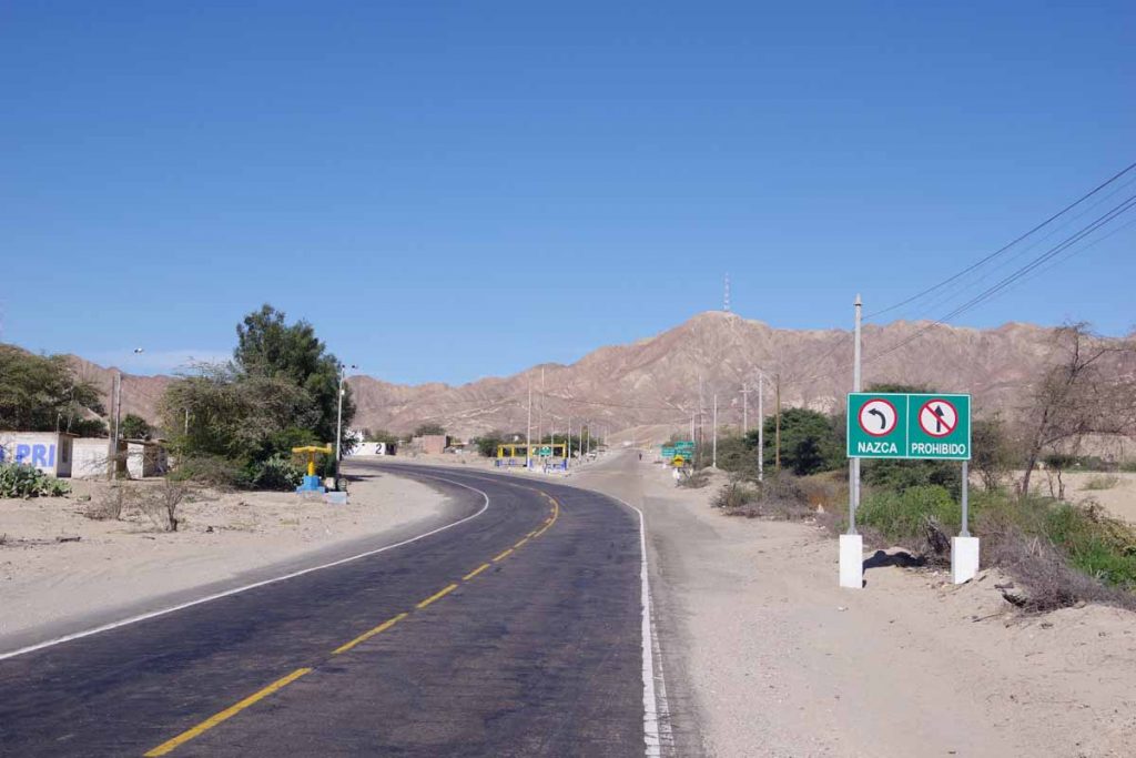
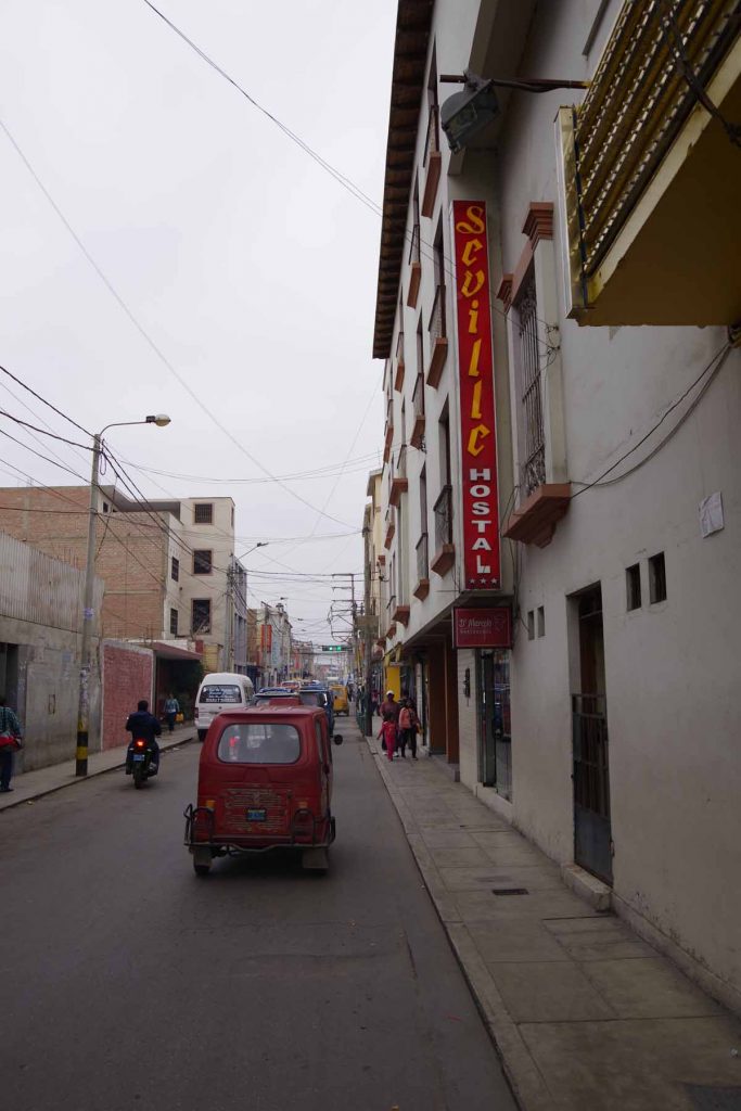
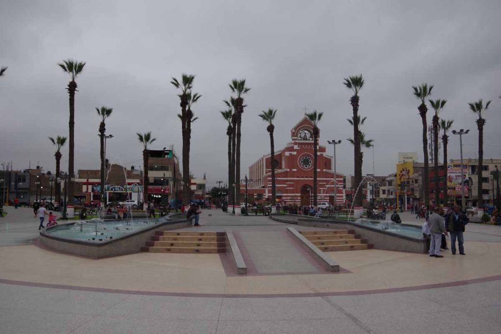
I reached Yauca a little past 10am. It was a nice little road junction that seemed to have everything: hotel, restaurants and some small stores. It was tempting to make it a short day, but I decided it was early enough I could ride to Chala instead.

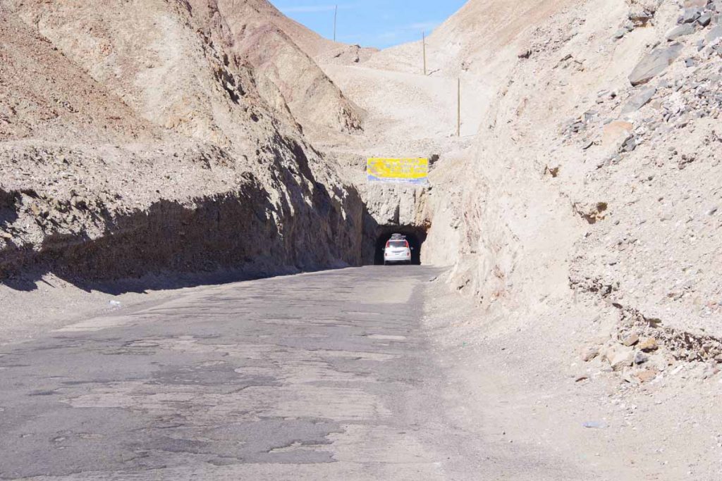
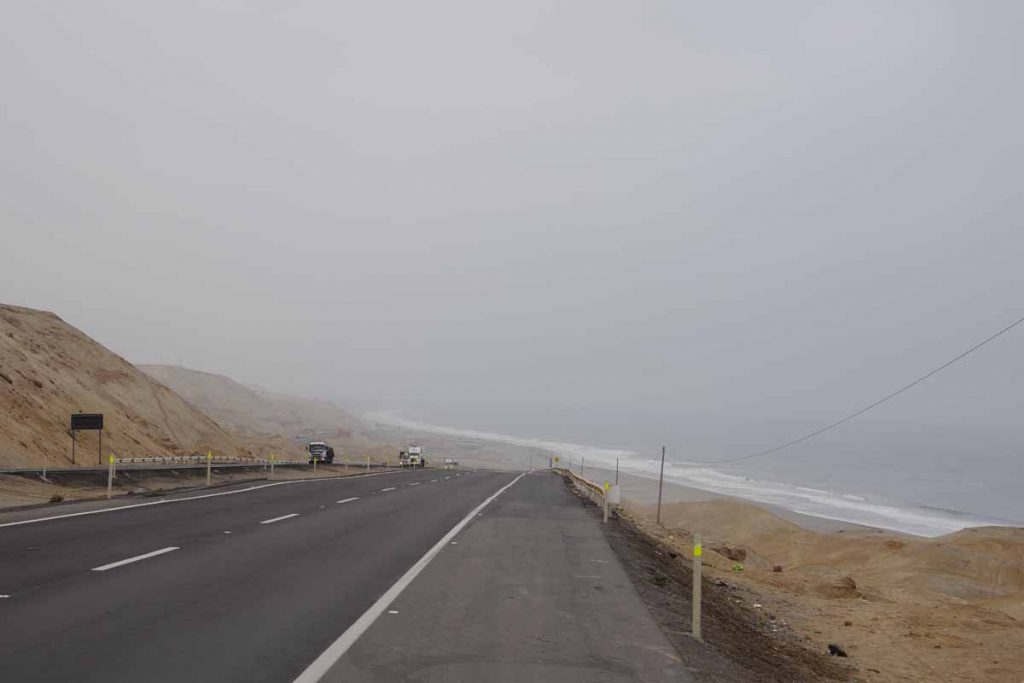
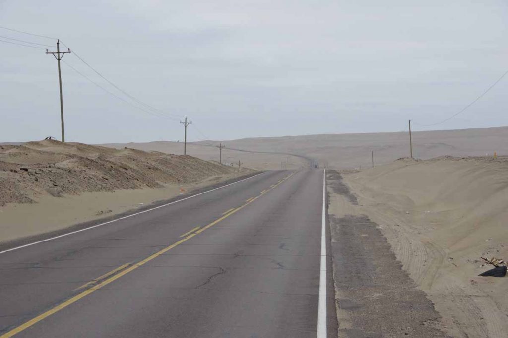
The road started flat and along the beach. The road then climbed nearly 300m (1000ft) up along the mountain and went right along the coast. After a slow climb, the wind really picked up. It was tough and slow riding and made me think, “if this keeps up, it would have been better to have stayed in Yauca.”

It was slow for quite a while, though fortunately, the wind lessened for the last 15km of the day.

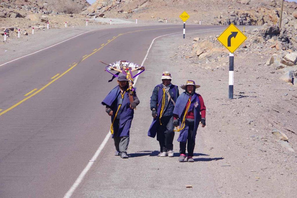
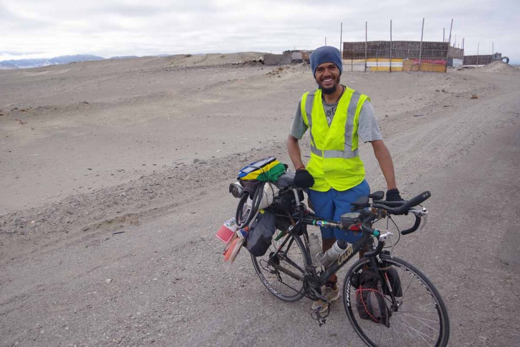
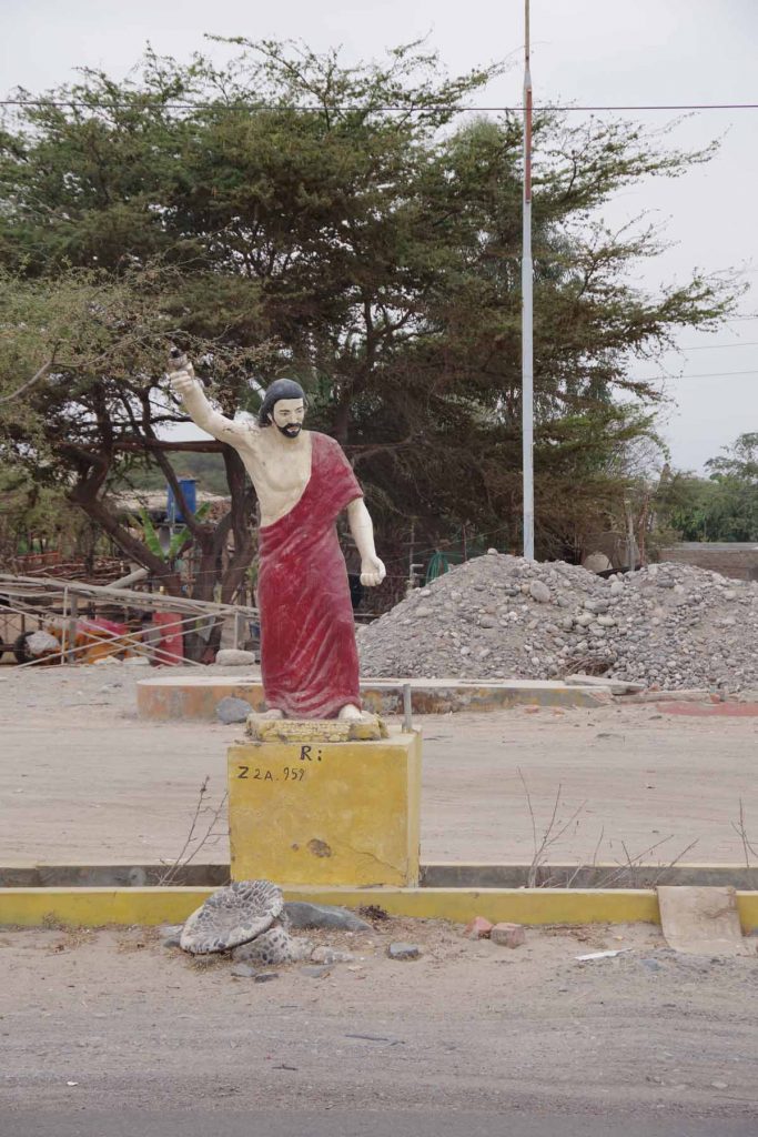
I met several sets of pilgrims walking along the coast today. They were headed north towards “puro” (not sure of the same) and had started in the south of Peru. They stopped and wanted a photo with me.

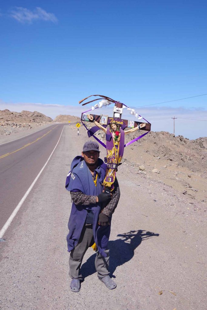
So I also got a photo of the guy carrying Jesus on the cross. I don’t have a photo, but a while later also met some pilgrims walking with a much larger cross with a small wheel on the base.

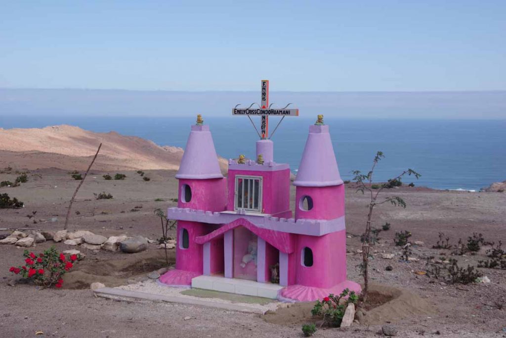
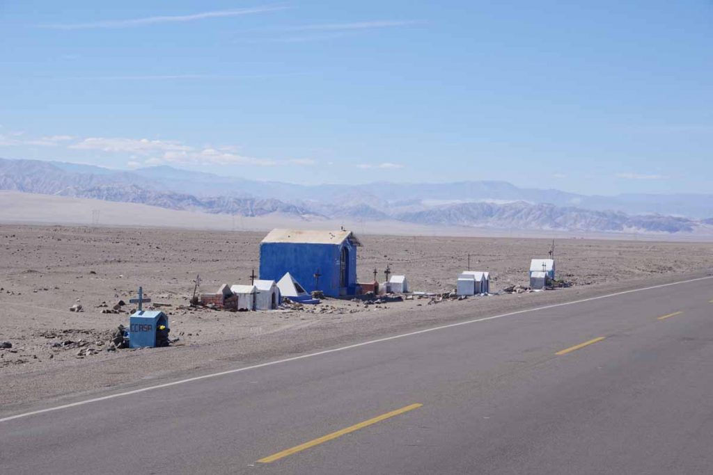
A small roadside shrine for an infant.

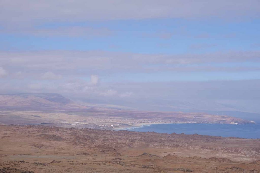
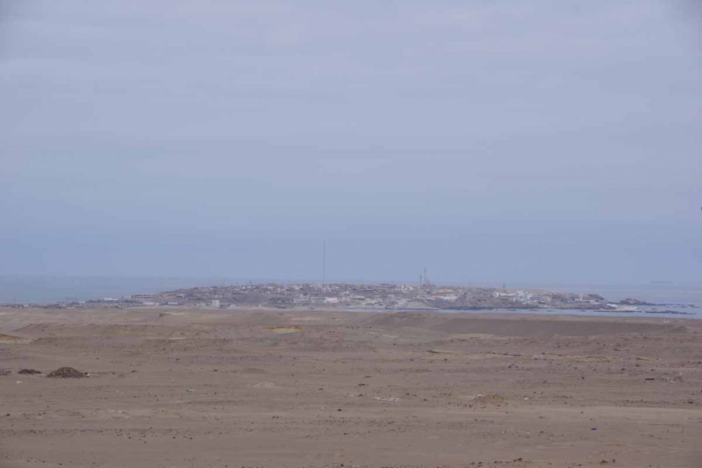
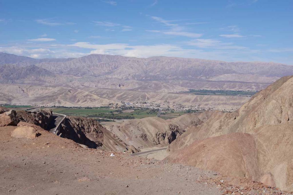
It was nice to finally see Chala down below in the distance. This is a larger town than Puerto Lomas and has several hotels to pick from. Otherwise, nice but long day riding. As best I can tell, tomorrow has similar distance and similar climbing. The wild-card will be the wind. No hotels in between but if wind is stronger, then might be a two-day ride rather than a single day. Will have to see…

Posted in Peru

Puerto Lomas

A bicycle ride across the Americas Posted on 2017-07-02 by mev2017-07-02


Cycling from the twilight zone to the sea. Today started out with low foggy clouds and almost drizzle. However, the road wasn’t wet. Fortunately, also not much wind so it was overall an easy ride that descended 600m from Nazca to a peninsula in the Pacific Ocean.

There were a few establishments like the one shown above, but I was quickly out in open desert again.

Movistar cell network has a set of signs like these that will mention a nearby and upcoming attraction. First time I’ve seen one more than 100km away, let alone 367km away. That tells me not to expect a huge amount along the coast.

A good part of the morning was this type of twilight zone cycling. The low clouds just added to the eeriness of it all.

Police were directing traffic what looked like a horrific accident. I had seen two ambulances zoom past earlier, so this happened not long ago.

At 40km was a road junction and also small restaurant. A good excuse to take a short break.

This sign was going other direction (towards Nazca), but shows a more typical posting to let one know a restaurant will be 40km ahead.

I cycled to turnoff to Puerto Lomas. Several restaurants here. By now the low clouds had started to lift.

Another 7km brought me to peninsula of Puerto Lomas as well as a hotel.

Walking through town was the town square.

Also a small harbor.

Several seafood type businesses but not much in way of restaurants so bought few items from a store. One establishment was packed with people watching the confederation cup soccer match between Germany and Chile, but no food there.

Next days should bring me along the coast with increasing hills. Not much past Camana, will leave the coast and start inland towards Arequipa.

Posted in Peru

Nazca

A bicycle ride across the Americas Posted on 2017-07-01 by mev2017-07-01

Why were the Nazca Lines created? Were aliens involved?

I didn’t come any closer to answering these questions but did pass the Nazca lines in the desert on my way today.

Many citrus trees and stands on my way starting out.

Cool morning air as I rode past these stands.

Blue skies and rolling hills before a steeper 200m climb up to the Nazca Plain.

At the top were signs for the Nazca Lines, some 300 figures out in the desert nearby.

I could see a line or two from the highway, but not enough to make out the figure.

There was an observation tower where for 3 sols ($1), one could see more.

Apparently, either climbing a nearby hill or taking a small flight-seeing trip are ways to really see more of the figures. I saw several of these flights cruising over and circling the lines.

On the far side of the lines, I met two German cyclists coming the other direction. They had started in Santiago, Chile and were towards end of a trip headed to Lima. They guessed right away, “you must be American” and I guessed, “you must be German.” Not sure what was behind their guess, but mine was based in part that Germans might make such a guess.

I asked about their route and temperatures they encountered in Bolivia (-10C to -15C). They offered a light sleeping bag. Wow, I appreciated this and took them up on this, even though they wouldn’t accept payment for the bag. This had actually been something on my mind for a bit.

When I planned my trip, I had roughly planned clothing/gear to cover >30F (0C) during daytime cycling and >20F (-7C) and wet at night. For example, my sleeping bag is rated 17F (-8C) and did OK first night in Alaska when it snowed and was ~20F. I had seen some more recent blogs and posts that suggested it might be colder than that in Bolivia – both because I’m crossing in middle of winter and south and west of La Paz is just a bit colder than La Paz where 90th percentile dips to ~23F (-5C). So I had been thinking I might need to be ready for closer to -10C to -15C and was planning on looking for an extra sleeping bag in Arequipa. There will also be little villages with hotels, but some gaps where I will camp between villages. So appreciate the generosity of the German cyclists and came at just right time.

Not too much further and I was already in town of Arequipa before noon. Found a nice hotel and looked around.

There are flightseeing trips over the lines.

However, more expensive than my 3 soles I paid and from what I saw, those flights go over the lines pretty quickly. So I’ll settle for seeing them on youtube videos like this one: https://www.youtube.com/watch?v=FRNNjbBCGMI

From here, the plan is to cycle further along the coast to Arequipa and then climb up to ~4200m (13,800ft) to the Altiplano and Lake Titicaca as well as crossing over Bolivia. TDA plans a rest day in Nazca around 12 September, so I am approximately 73 days ahead of their schedule.

Posted in Peru

Palpa

A bicycle ride across the Americas Posted on 2017-06-30 by mev2017-06-30

Through the valley, over the desert and into the small town of Palpa.

Today the ride had a little of everything. First, 30km was small villages in an agricultural valley. The church above was the center of one of those villages. I hadn’t been near a grocery store yesterday evening but stopped in at a small shop on the way to pick up fruit.

At 30km I left the valley and turned into a headwind as well as climbed ~150m up a long hill. The shoulder was rough most of today but there was also a lot less traffic than coming into Ica, so I could take the travel lane more often.

I expect this truck driver was feeling cross-winds as well.

On top of the hill was a longer plain where I met this Brazilian cyclist. He had cycled down the coast of Brazil, across Bolivia and now was heading north. He had an overall six-year plan that included 59 countries and 88,000 kilometers on a squiggly route around the world. He lamented that a visa to the USA cost him nearly $300. This is first cycle tourist I have encountered in a while.

Long, straight and mostly flat. Fortunately, the wind had died down by now.

Not quite sure what happened here, but a large collection of individual memorials as well as one bigger shrine as well.

Near 70 kilometers I crested a hill and saw the first point of civilization for a while. On the right side is the town and leading above it is the “old” road. The new Panamerican Highway bypasses the town and goes all the way left around the mountains. I cycled to near the town and had lunch here.

They farm cactus here.

This was split between new road and old road. I wasn’t sure what was prohibited on the old road, but I saw some cars come from there, so figured it was probably OK.

I got to the top and came to a narrow one-car wide tunnel. It was a little more than 100m long and you could see the other side. However, it was important to make sure you had a clear path before entering the tunnel. There weren’t lights and it got dark in the middle of the tunnel. Otherwise, it wasn’t too bad to cycle through.

There was a steep descent on the other side of ~10%. Off in the distance, Palpa lies in the second valley. I made my way down the hill and then across the next hill to small town of Palpa. There wasn’t much in the town square but I did find a reasonable hotel on the main road. Overall a nice variety of riding today.

Posted in Peru

Ica

A bicycle ride across the Americas Posted on 2017-06-29 by mev2017-06-29

A day riding mixed area of desert, farms and agro-industrial areas. Surprising amounts of truck traffic, though after the first 12km, the shoulders were good.\

Enjoyed my time in the little town of Pisco. I enjoy finding these little towns with a hotel not too far from the town square.

Everyone out of the van, we need to fix the tire!

Cycled six kilometers back to rejoin the Panamerican Highway. The road was busy and the shoulder was poor, so mostly rode the white line and watched my mirror when I needed to move out of the way. Fortunately, after the 12-kilometer mark or so, a reasonable shoulder reappeared and stayed until I was close to Ica.

There were several larger industrial type plants like this fertilizer plant.

If you lived here, you’d be home now!

This little oasis of lots seems to empty out into the desert once you pass the entrance station. I notice that prices advertised for lots have gone down since the coastal gated communities nearer to Lima.

Another industrial type area as a big chicken ranch.

These small huts were on side of the road. I thought it interesting that each seemed to have a TV antenna and the last one had a satelite dish.

That little isolated hut in the desert might not have a TV antenna though.

A statue also fairly isolated along the road.

At 50 kilometers, there was a toll booth and more of these fruit stands.

In addition to toll booths, there was some type of fish-check station.

My lunch stop was at this kiosk where bought a few items and took a short break. After this point there were more large farms.

These guys were busy loading up the truck.

These vineyards with netting to keep out birds.

One of my favorite signs, “don’t leave rocks on the road” made several appearances again today.

The last 15 kilometer were through several small villages and then into larger town of Ica. The main road seemed to bypass the center of town, so ended up with hotel on far end and not too much nearby. However, otherwise nice place.

Overall, definitely an interesting mixture of areas that are more populated than before but still dry areas.

Posted in Peru

Pisco

A bicycle ride across the Americas Posted on 2017-06-28 by mev2017-06-28

Short ride today to Pisco, next town along the coast.

A few kilometers to exit Chincha and then mostly an agricultural area with small towns. The town of El Carmen had a nice portal with murals that seemed to explain the history.


They were spraying something on the corn.

I am guessing this tower had something to do with irrigation, though not completely certain.

Corn was out to dry, though the birds were also feasting.

The freeway had ended yesterday so smaller road today with a sometimes bumpy shoulder. However, the overall distance was short and at 34 km I was already at the turnoff to Pisco. Went another six kilometers into middle of town.

There is a soccer tournament (FIFA confederation cup) that seems to be a big deal. It was playing in the cafe I had lunch and I’ve seen several other matches with Chile playing on other days.

One of the churches in town.

Otherwise, Pisco is nice small town with shopping street and small square. Not quite as busy as Chincha Alta.

Posted in Peru

Chincha Alto

A bicycle ride across the Americas Posted on 2017-06-27 by mev2017-06-27


Today was a ride with several different variations of landscapes. The kilometers are now counting up from Lima. Still close enough that there is a fair amount of development instead of complete desert areas. Today I came through several fairly distinct regions.

The first thirty kilometers I would characterize as the “private beach community” section. The road had rolling terrain across the hills. Off to the ocean side, there would be these small private beach communities below. Typically there would be a fence and potentially a guard house. There wasn’t much otherwise in way of commercial establishments.

I went down the hill and came to the small town of Cerro Azul. Good place for a quick stop and break.

The next twenty-five kilometers I would characterize as the agricultural. Completely flat road and crops being grown on both sides.

Also, donkey carts that needed to cross the highway.

This section did have a few no bikes signs. By the time I saw the first one, there wasn’t much alternative route to take. In any case, the Pan American continued to have a nice shoulder, except for a bridge where the third of the signs was located. I suspect the signs came because the bridge didn’t have a shoulder. However, traffic was light so I was only on on the bridge.

After the agricultural section, I went up a hill to a section I would describe as “lost coast”. The road again bounced on top of the hills. I didn’t see much of the coast on the side at all. There were a few of these fruit stalls. Nice excused to stop and get a few mandarin oranges.

This bathroom and shower was in this section, in middle of nowhere.

This seemed to be an argument or explanation for keeping the town beach in public hands rather than letting it become private as beaches further north had become.

I also passed this large Peru Liquid Natural Gas plant, a bit more description here.

After the lost coast, I came down the hill and went along the ocean. This had more businesses.

There were chicken tents (taken in HDR to get details from the shadows).

There was a wine business.

Finally the last ten kilometers I turned inland and to the small town of Chincha Alto.

I found a nice hotel that had been recommended by my uncle Gerard.

Found the town square.

There seemed to be some type of children’s parade.

Complete with a royal princess.


Overall a slightly long day but good ride with a good variation between the sections. Also Chincha Alta is nicest little town I’ve come through since Lima.

Posted in Peru

Asia

A bicycle ride across the Americas Posted on 2017-06-26 by mev2017-06-26

On the road again as I depart the big city and head south from Lima.

Several kilometers of stopped up traffic, but otherwise getting out of Lima wasn’t too bad.

I started on the bike path for first several kilometers. Miraflores has done a good job with these paths including having them on one-way streets but allowing bicycles to go both directions.

Leaving Lima, I had a bit of everything. Not long after the bike path, I descended into a high-speed highway. It merged with another highway and had fun getting across the lanes. Not long thereafter this bike path appeared on right side.

This was down by the ocean where I also found this statue. Unfortunately, discovered I had to climb back out again. This next bit was the most crowded with almost 10 kilometers of a mixture of stop-and-go as well as a very busy crowded road. Once again, many of these little buses that would keep zooming in to stop and drop off or pick up passengers.

At 15 kilometers I rejoined the Pan American Highway and shortly thereafter there was a toll booth. Not the most exciting road, but it has a good shoulder and reasonable direction. It started very busy with four lanes each direction and a lot of traffic, but over the next 20 kilometers, the traffic volume decreased considerably as the lanes also dropped down to two each way. Stopped at the 34-kilometer mark for a short break.

There were some fun billboards here, including many they had adjusted the shapes of the sign to match the product.

I came past more of these chicken farm tents. This time I was downwind from the tents and could definitely smell the manure.

Also multiple of these small communities where they were selling lots as well as condominiums. The 389 per month catches your eye, but I noticed multiple weasel words here including (1) “desde” = from (2) it is in US dollars, not Peruvian sol and (3) it tells you only for the first month.

This section advertised artisan bread. Stopped here for lunch.

Many other possibilities along the way as well.

There wasn’t a lot, but I did come past some agricultural fields as well. Overall, the day was overcast all day long. The streets even started out wet. I expect not necessarily much rain but a heavy mist today.

I am not sure what a woman in a bikini has to do with bricks. However, I will admit it did get me to take a photo of the sign.

I considered stopping at 64km where I knew there was a hotel but pushed on further to Asia at 96km. It was sort of a strange place. There was a large wall surrounding a mall complex. There was a sign for a hotel that said, open all year. I first cycled around part of the outside of the wall, but couldn’t find it. Next, I went to a gate in the wall. Guards told me the hotel was open, but when I visited it, they looked closed and said they had no rooms.

Next, made my way across the highway to a different hotel. No hot water but otherwise a reasonable place. Also found a restaurant but not much in way of store here to get breakfast items.

Nice to be on the road again.

Posted in Peru

Lima, time to be a tourist

A bicycle ride across the Americas Posted on 2017-06-25 by mev2017-06-25

Sunday in Lima, time to be a tourist.

I walked to the nearby square and signed up for a half-day tour of the historic center of Lima on the Mirabus pictured above. It was a nice chance to see a little bit of the city with the highlight being the Church and Monastery of San Francisco along with the catacombs found underneath.

As our tour bus went past several squares including Plaza San Martin, pictured above, I thought they sure looked familiar as I had cycled right past.

The last Sunday of each month, roads in the center of Lima are closed to automobiles to allow bikes, roller blades, pedestrians and others to use them. We also walked from here for rest of the tour.

I saw quite a few local scout groups out in uniform. They seemed to be in some sort of organized scavenger type hunt where they visited different locations, got clues and put together puzzles.

Church of La Merced was on our way, this photo in HDR.

The main plaza was packed with people.

There was music,

and dancing,

and horses,

and just hanging out with friends,

in traditional costumes or on the phone.

Church of San Francisco and associated monastery was impressive.

By the way, the black spots are pigeons.

We could take photos inside the church. However, no photos of the monastery or catacombs underneath.

What was particularly impressive was the paintings and artwork in murals, ceilings and in paintings. There was a historic library with 25,000 dusty books that might remind one of Harry Potter. Underneath, there were narrow catacombs with many bones, often neatly sorted into skulls in one bin, tibias in another, etc. Overall a rather interesting visit.

On way back, we could see streets were still closed for some cyclists.

Hopefully, tomorrow won’t get stuck into too much traffic leaving, having missed my window of light traffic. Even today this intersection was stopped up often enough that someone could come in costume and go past the cars.

A photo of bikes for rent during the traffic-free morning.

Spotted this bike oriented business as well.

Otherwise, nice relaxing day here in Lima.

Posted in Peru

Lima, bike maintenance + route planning

A bicycle ride across the Americas Posted on 2017-06-24 by mev2017-06-24

An easy day in Lima.

First order of business is to get some worn parts replaced on the bike. I start at Bicicentro bike shop at 9 am when they open. We check the chain and as expected it is stretched. So replace both chain and rear cassette since they wear together. I also ask to have brake pads replaced. They don’t have the metal version of the pads, so I bring a copy.

The mechanic seems to fiddle a fair amount. I’m sure more competent than myself, though don’t have as much confidence in his skills. Eventually, he is done and tells me best to replace the rotors as well. They have one extra rotor, but I then notice it is stamped, “resin only”. So I go back to my hotel and bring my extra rotor I had along. Surprised the front rotor was diagnosed this way since it was new in Colombia and doesn’t show as much wear. I buy a patch kit and a spare set of organic brake pads.

The bike rides smoothly though not noticeably different as I ride to the Specialized bike shop. They have a set of spare tubes here. I have an awkward size (26″ but Presta valves), so nice to have one or two additional here. Specialized also doesn’t have the specific rotor, but give me an address of bike shop that might. I do get the sense the Specialized shop is more set up for more general bike service, so would likely go there first in the future.

Next ride to Best Bikes. This is a Shimano shop and has Shimano pads and rotors but not Avid. Not sure of the compatibility, I skip buying a Shimano rotor. Later check the internet and suggests these are not always compatible.

It took pretty much entire morning but my bike is at least set up for riding ahead. I expect Cuzco might have similar shops and after that not as certain about Bolivia.

In the afternoon, I spent some time looking through blogs and planning the next steps. The next 450km to Nazca is pretty straightforward and looks similar to what I’ve already done. After that, a fork in the road. By default, I had assumed climbing the hill here from Nazca and going to Cusco, a distance of ~650km and also more than 12,000m of climbing. Yikes! As I looked for blogs of this route, I found few. Many cyclists had skipped this part, either coming to Cusco from mountains earlier or taking the bus or other alternatives.

When I ask Google Maps to plot a route to La Paz, a second slightly more direct option appeared, via Arequipa. There is still some substantial climbing. Hard to avoid when going up and over 4500m of altitude. However, this route is also roughly taken by the railroad and appears that once one reaches the altitude of the Altiplano, there is a lot less descent and climb over subsequent ridges. So 100km shorter distance and considerably less climb and less time and high (cold) remote parts.

What one misses is Cusco itself. Cusco is interesting if one wants to make a side trip to Machu Pichu and challenge yourself climbing/descending. I’m sure it is an interesting place, though right now am leaning more towards the Arequipa alternative. I’ve got a few days until Nazca to sort this all out further.

Posted in Peru

Post navigation

← Older posts
Newer posts →
©2025 - A bicycle ride across the Americas - Weaver Xtreme Theme
↑