↓
 

A bicycle ride across the Americas

from Deadhorse (SCC) to Ushuaia (USH)

  • Home
  • Plan
  • Blog
  • Photos
  • FAQ
    • Why?
    • Where?
    • What next?
  • Map
  • Equipment
  • Calendar
  • Countries
    • USA
      • Alaska
      • Montana
      • Wyoming
      • Colorado
      • New Mexico
      • Arizona
      • California
      • Texas
    • Canada
    • Mexico
    • Guatemala
    • Honduras
    • Nicaragua
    • Costa Rica
    • Panama
    • Colombia
    • Ecuador
    • Peru
    • Bolivia
    • Chile
    • Argentina
  • Weather
  • Links
  • Contact
Home→Author mev - Page 12 << 1 2 … 10 11 12 13 14 … 33 34 >>

Author Archives: mev

Post navigation

← Older posts
Newer posts →

Chunchi

A bicycle ride across the Americas Posted on 2017-05-29 by mev2017-05-29

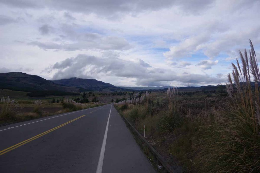
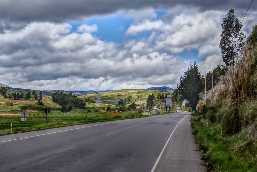
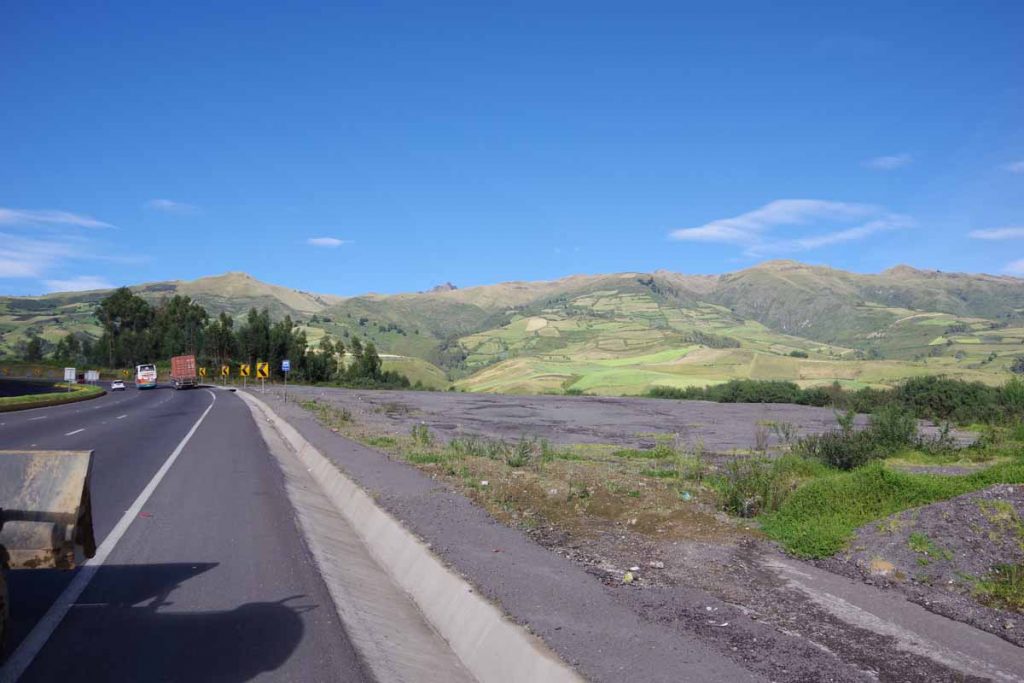
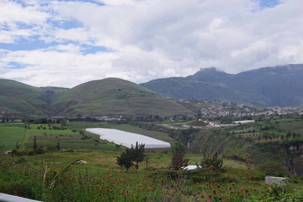
Beautiful riding through hilly terrain. As the crow flies, the distance today was only 13km. However, the route went over a large ~300m (1000ft) hill and then winding its way across and back on a steep valley. Today distance still only 35km, but nearly three times as far as the direct route. Overall, still easier and shorter than I anticipated.

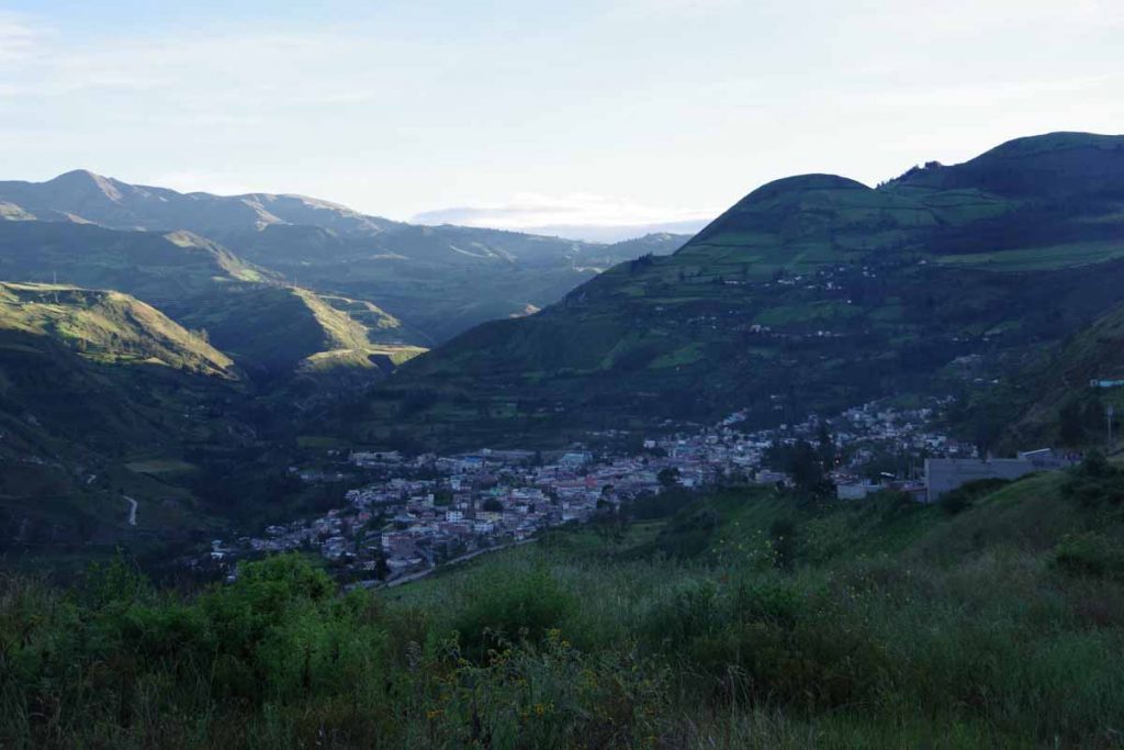
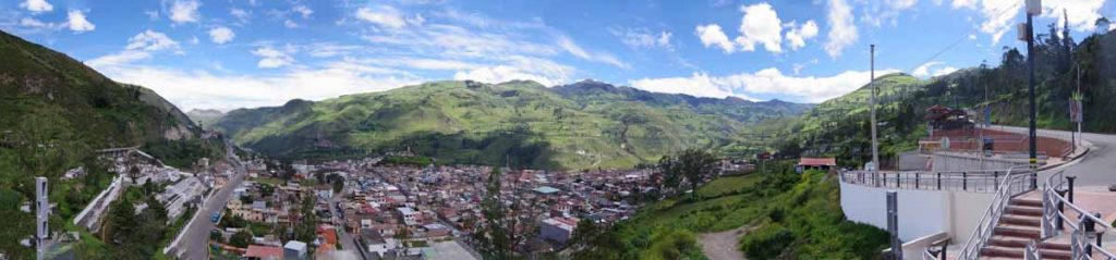
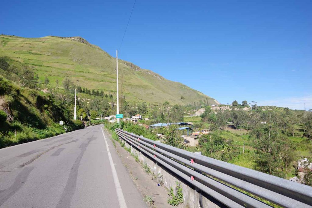
Started the day with a 5.5km climb out of Alausi. Grade was fairly consistent 7-8%, so mostly a case of going into my lowest gear and slowly climbing. Photo above was looking back on Alausi from part way up the climb.

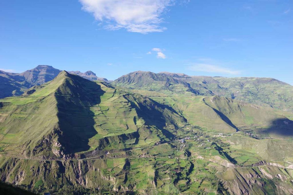
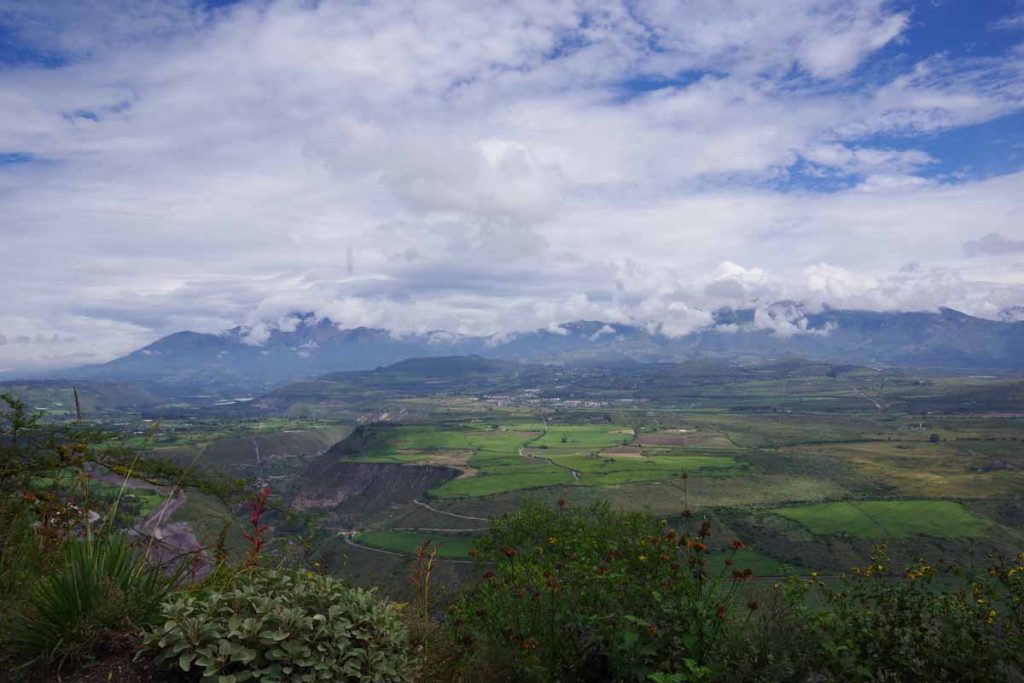
I could now see across to the other side. Note the road that is part way down the mountain.

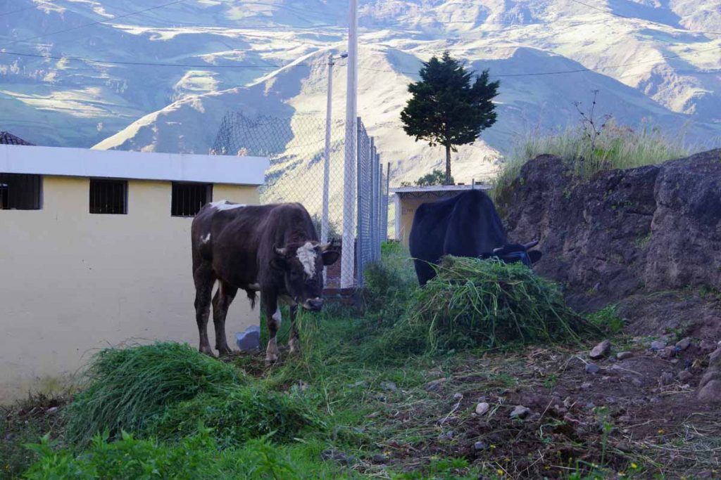
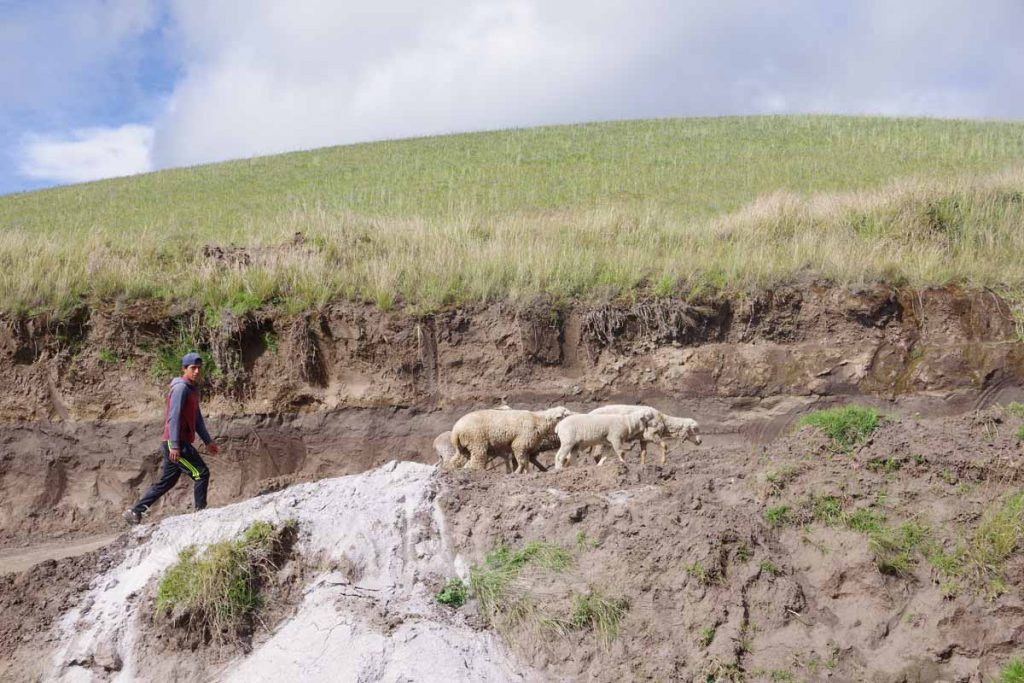
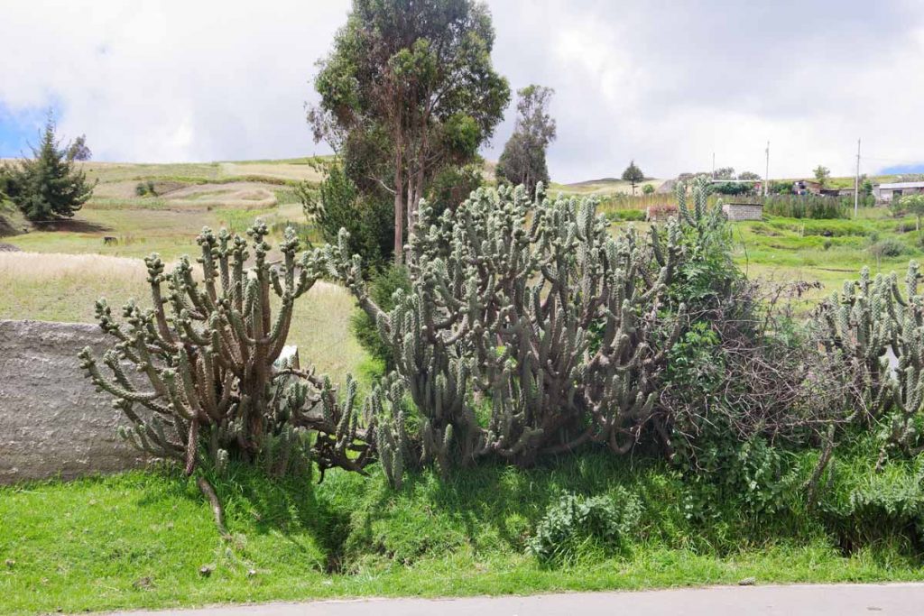
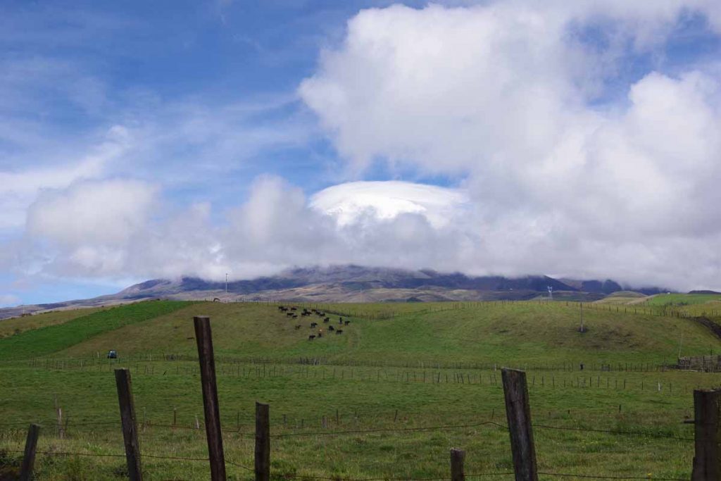
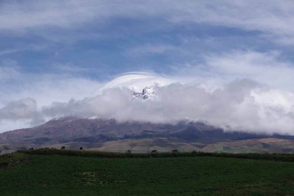
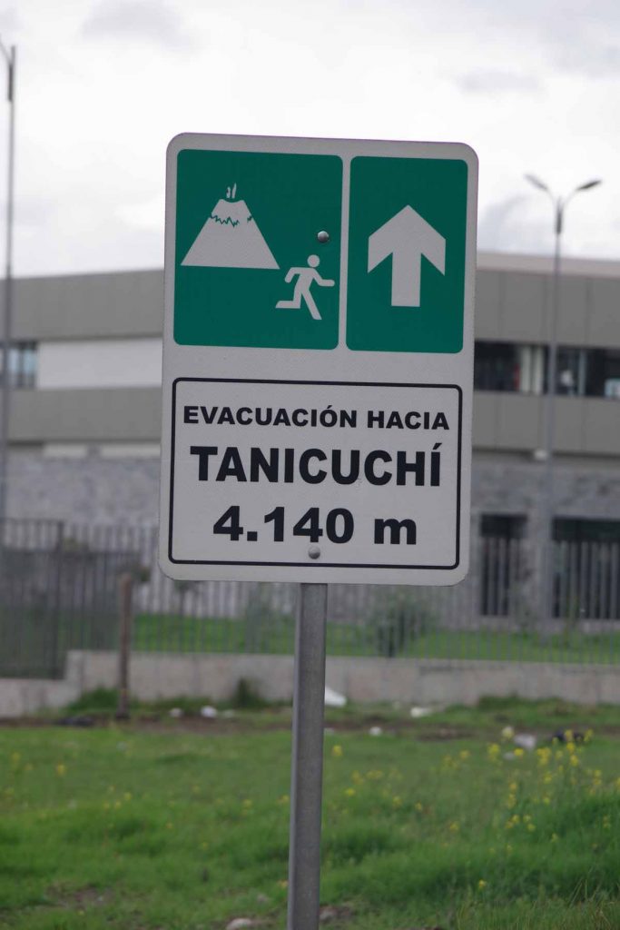
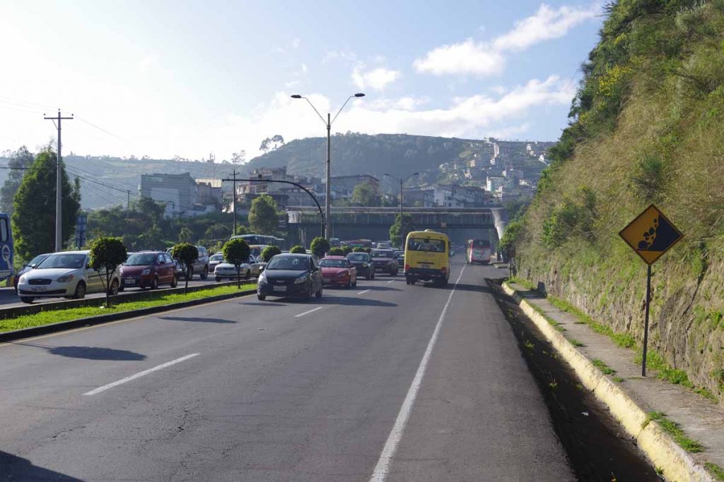
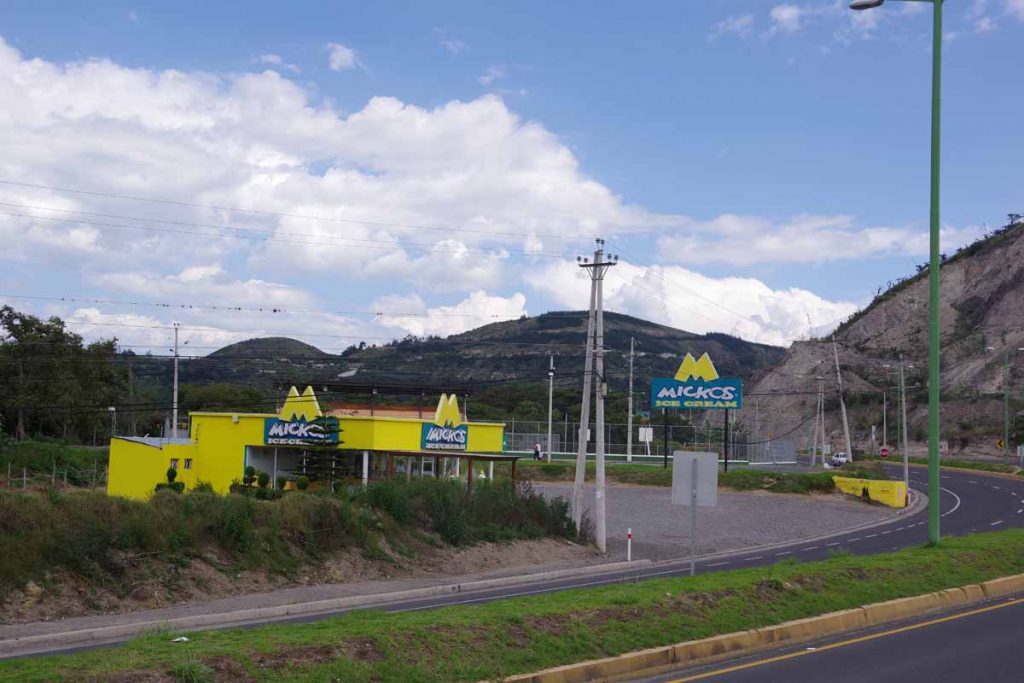
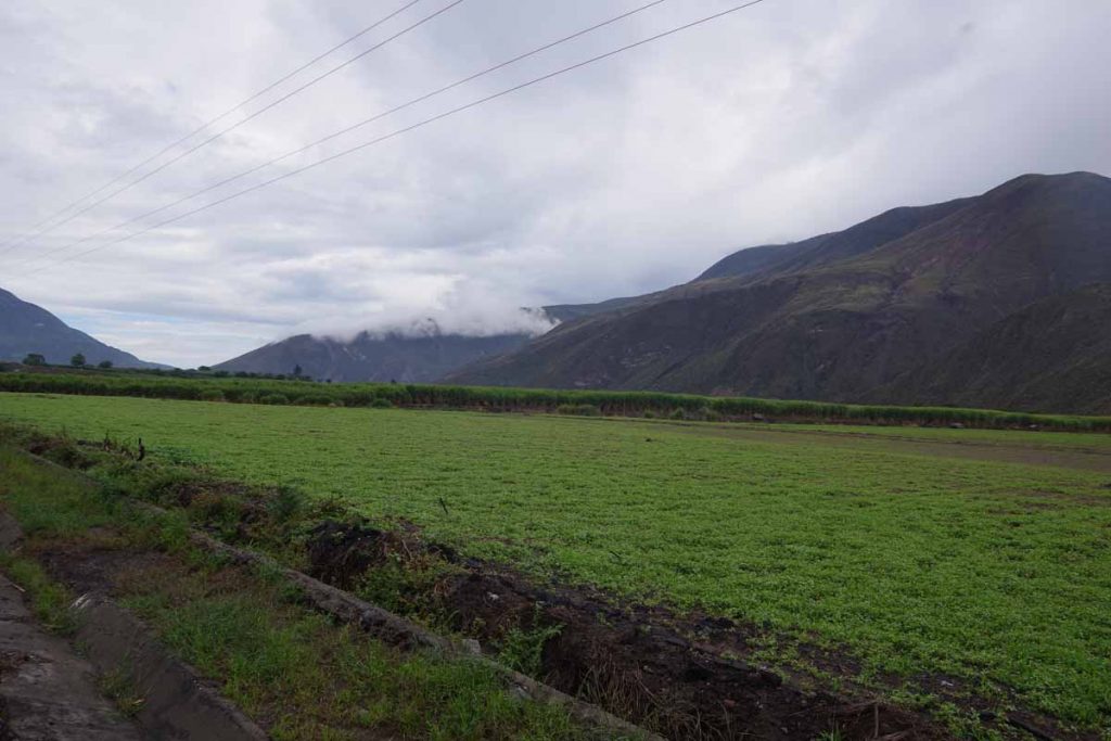
Today no sheep and more cows again.

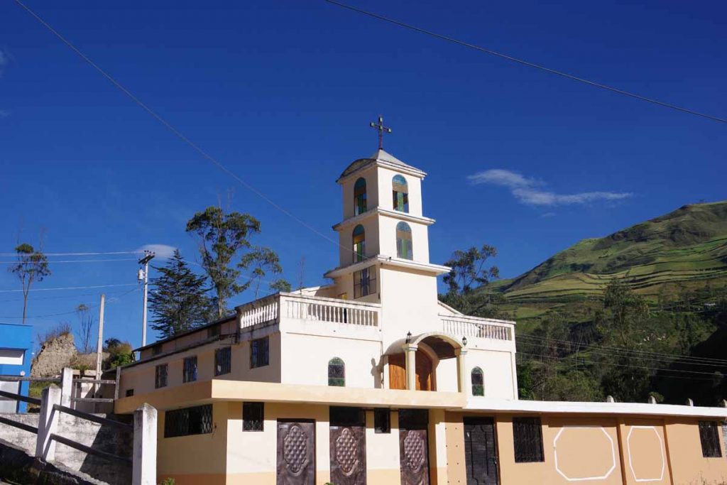
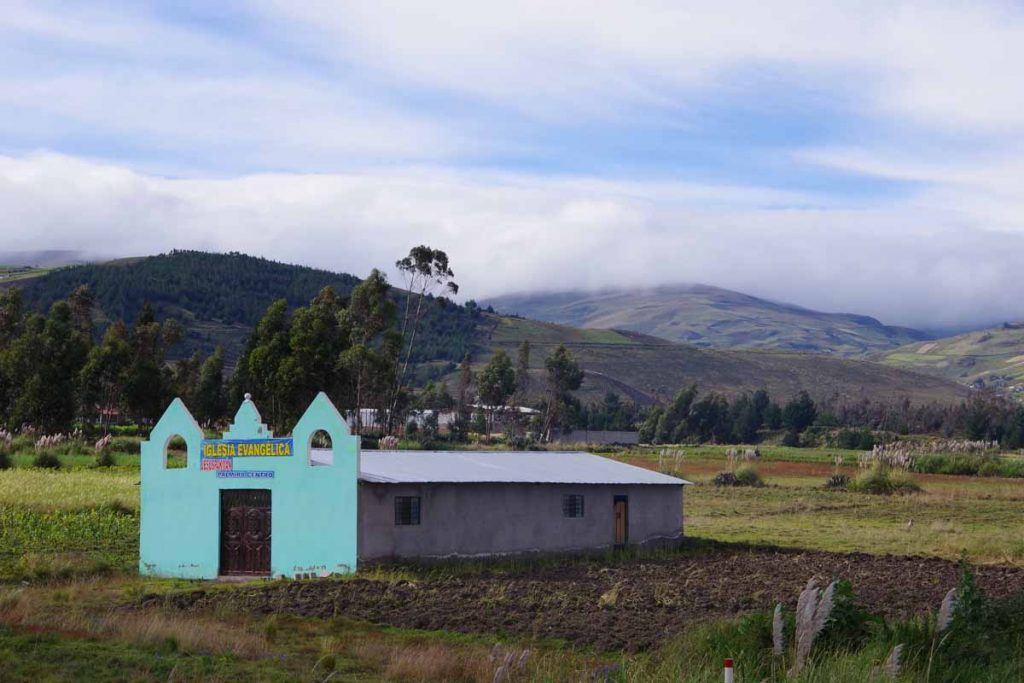
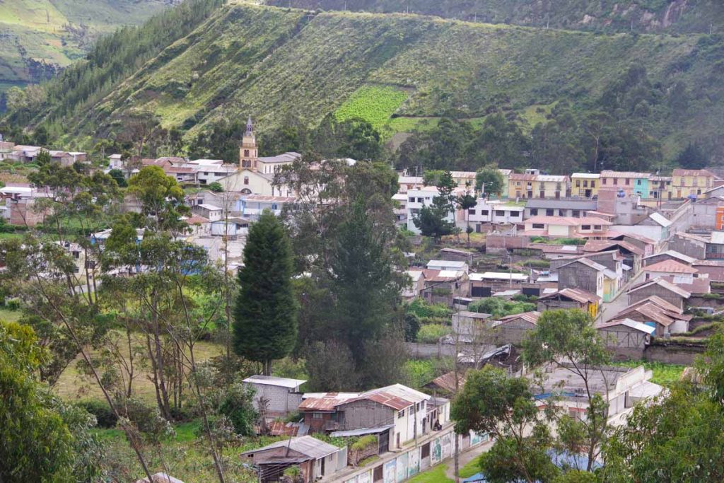
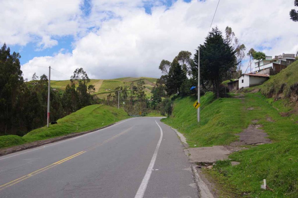
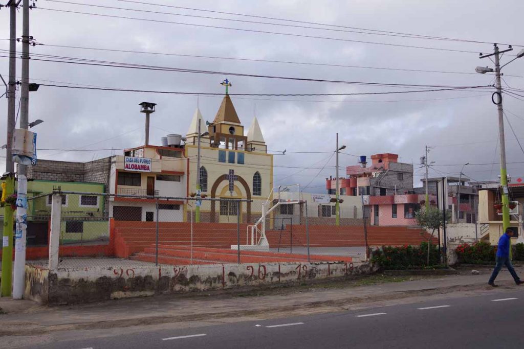
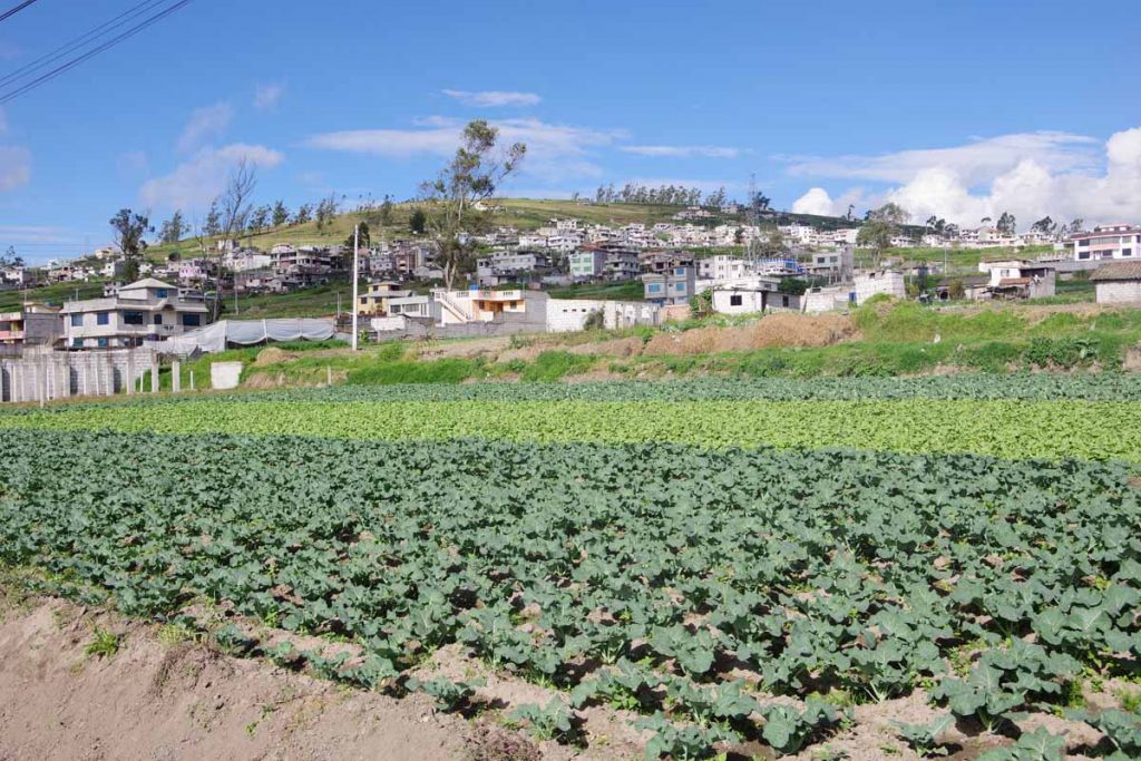
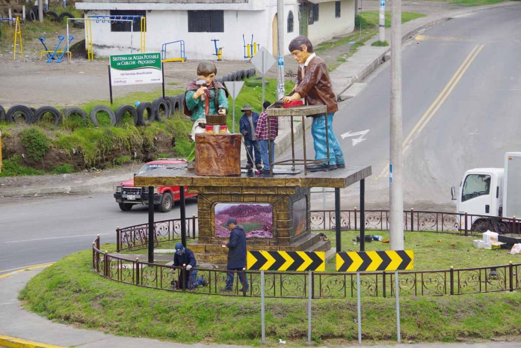
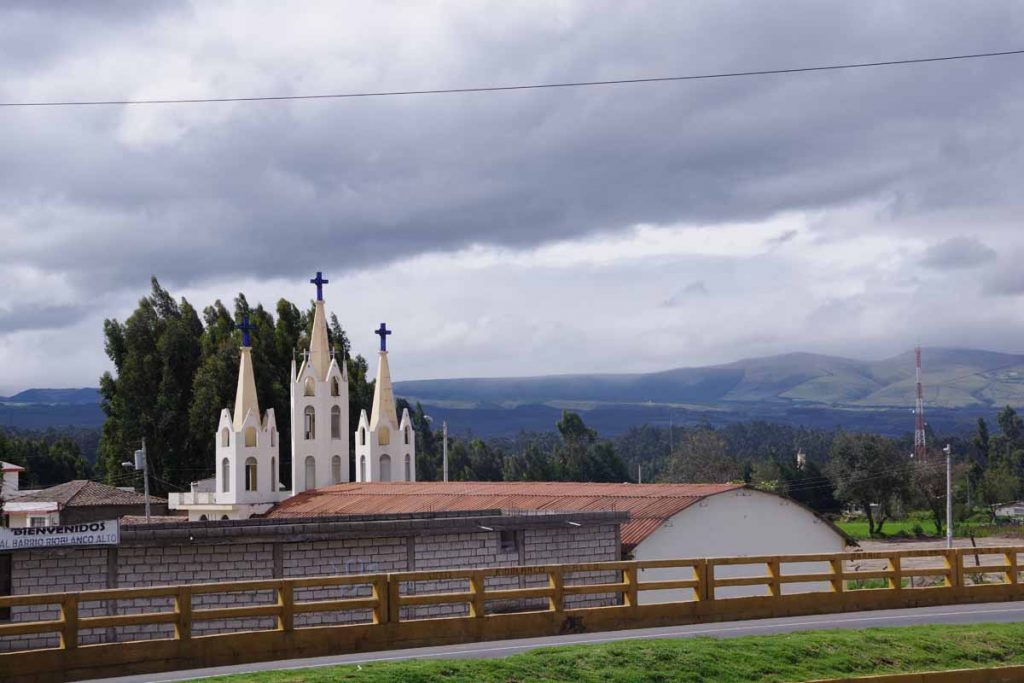
Several small villages along the way, this one with nice church.

Now back on the other side. Climbs here weren’t as consistent, a few had stretches of 12% climb. However, none extremely long.

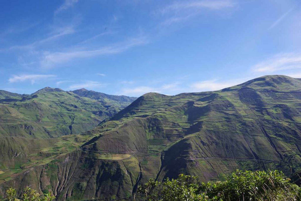
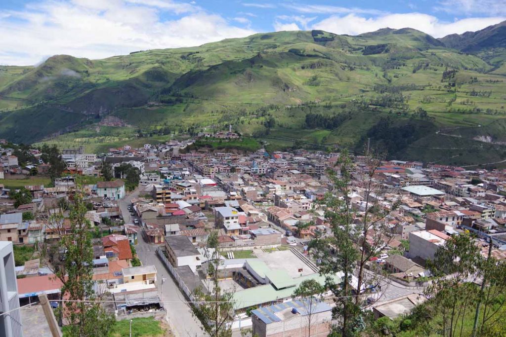
This photo looks back across the valley to where the second photo on this page was taken. The main road is almost all the way at the top near the microwave towers. However, there also appear to be some smaller cross roads lower down as well.

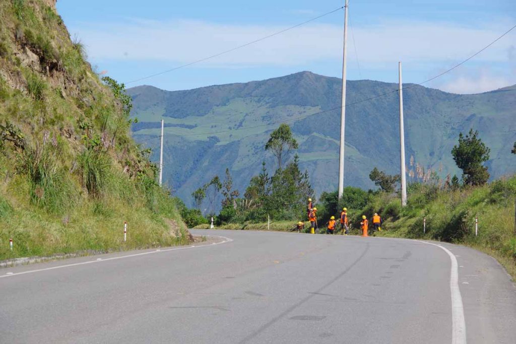
These construction workers were clearing organic debris from the gutters.

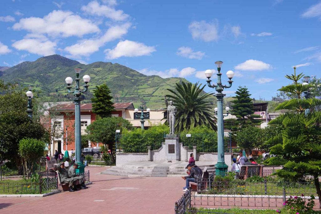
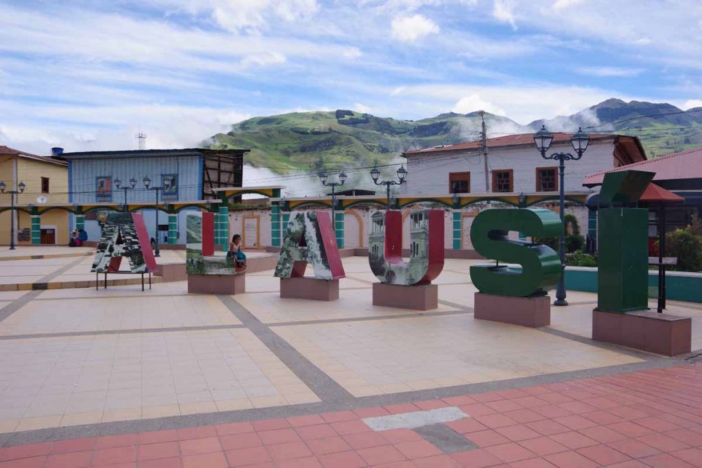
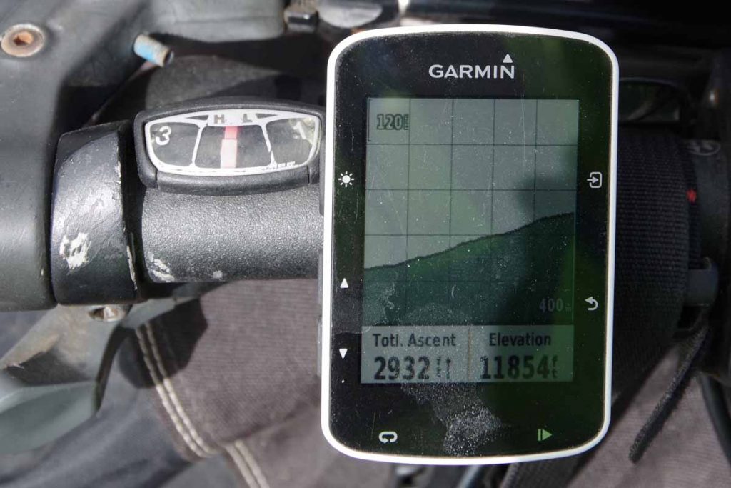
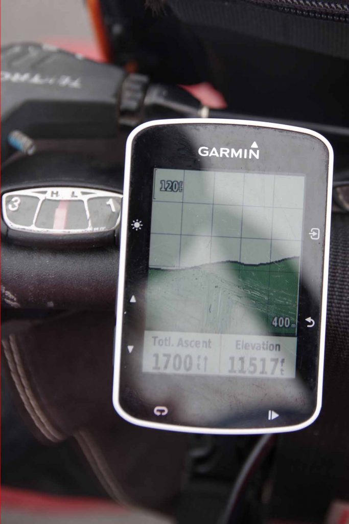
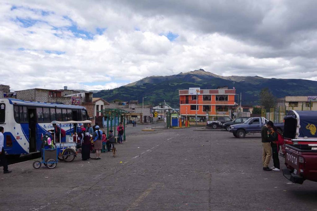
Found myself to the main square in Chunchi earlier than anticipated. Still 742m (2430ft) of climbing where perhaps thought there could be even more. Not complaining however, as this gave me time to get leisurely lunch in town and look around. Also, expect tomorrow to be quite a bit tougher so happy to have an easier day before a challenging day.

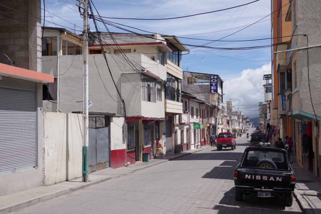
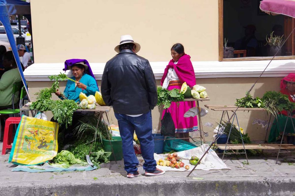
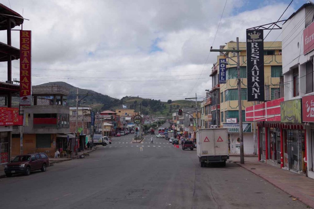
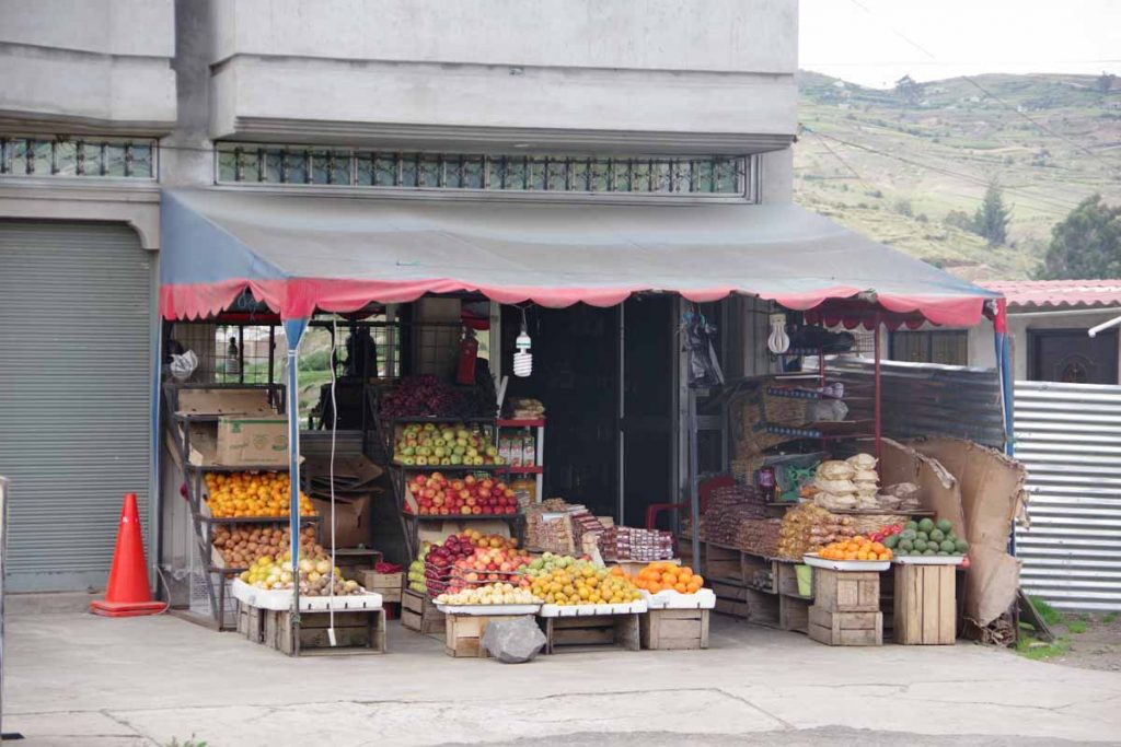
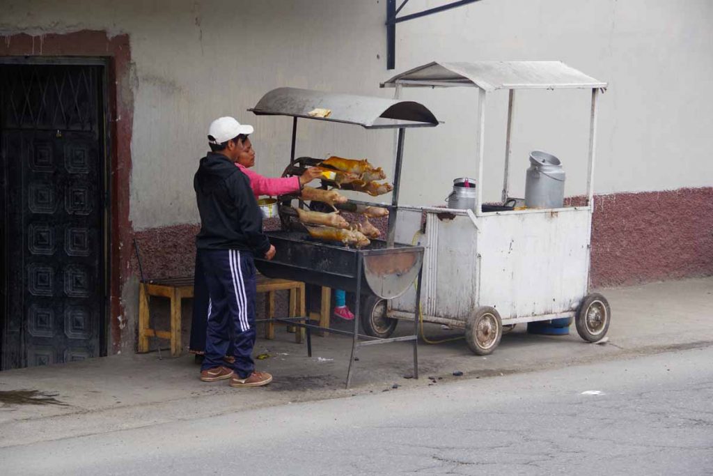
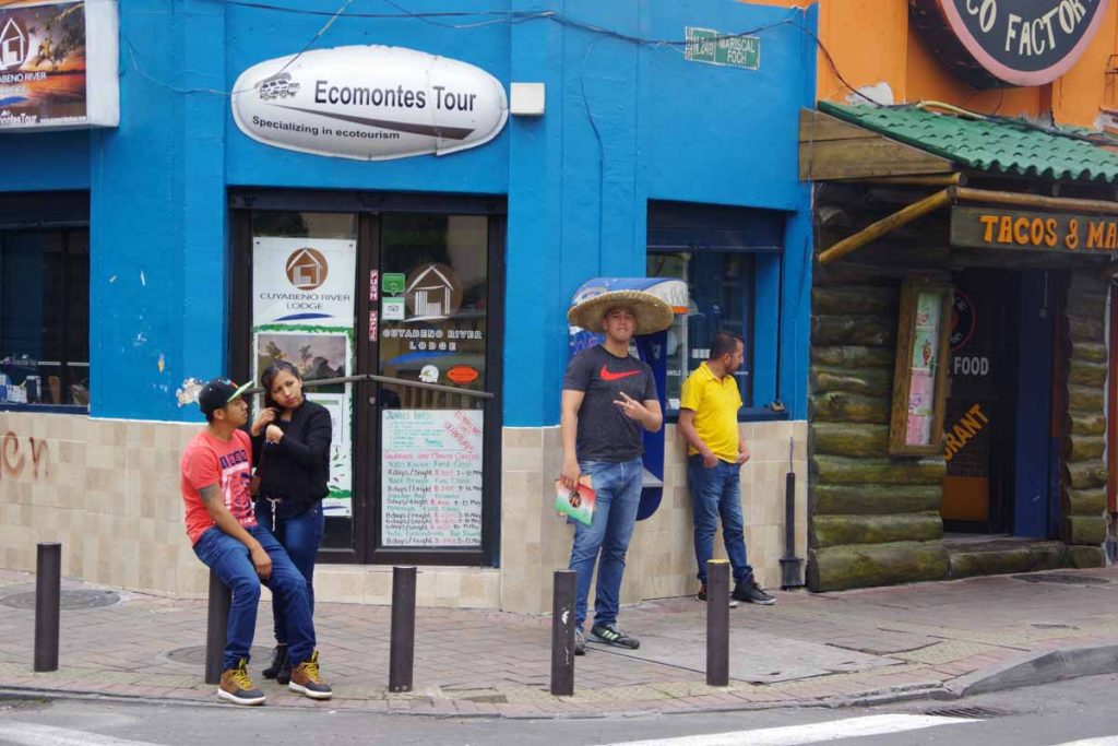
Streets in town were not as busy as Alausi.

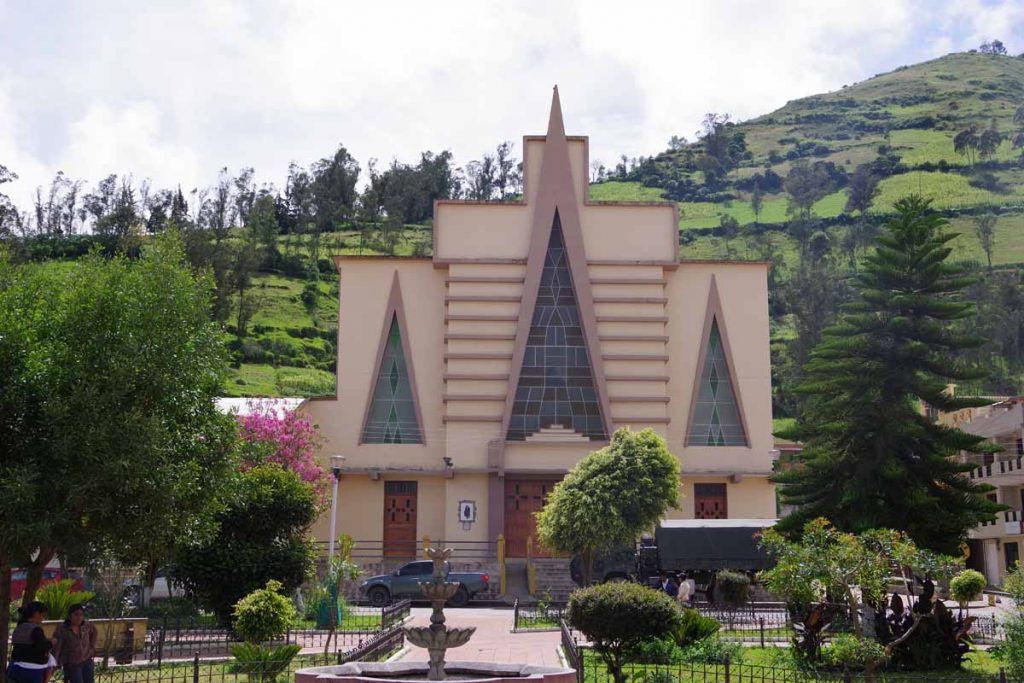
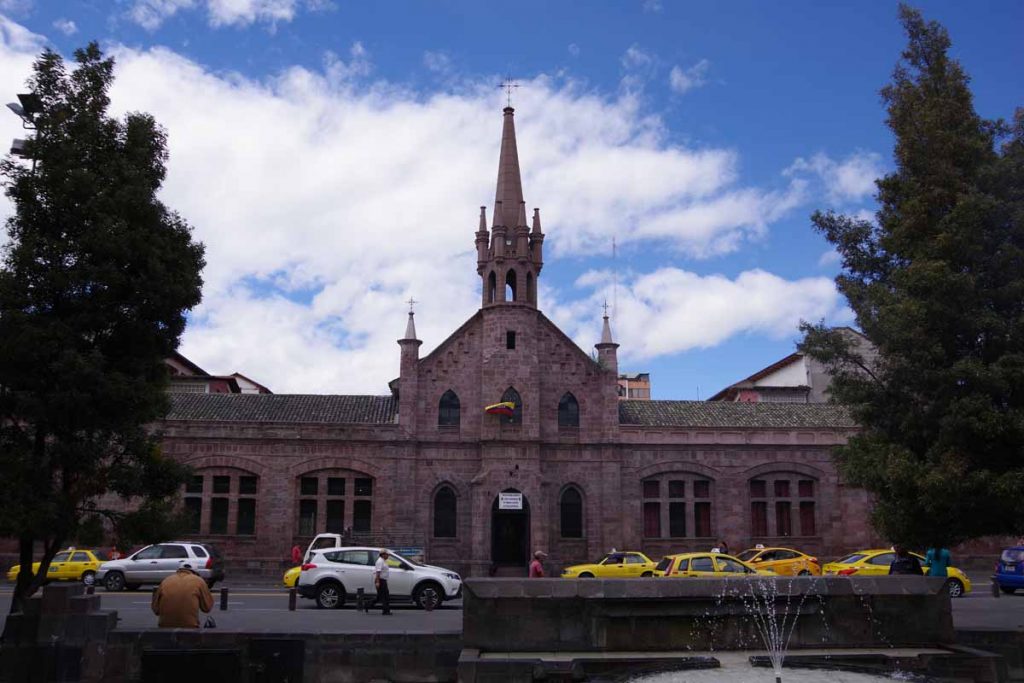
A somewhat modern looking church on the main square.

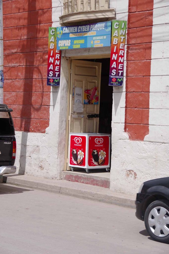
Last few days, towns have many internet cafes like this one. I take this as a sign that broadband is not necessarily available in individual residences (or more expensive than people can pay). Somewhat a contrast to cities like Quito with far less frequent internet. The cell network does have 3G data however and reasonable connectivity, particularly given the hilly terrain.

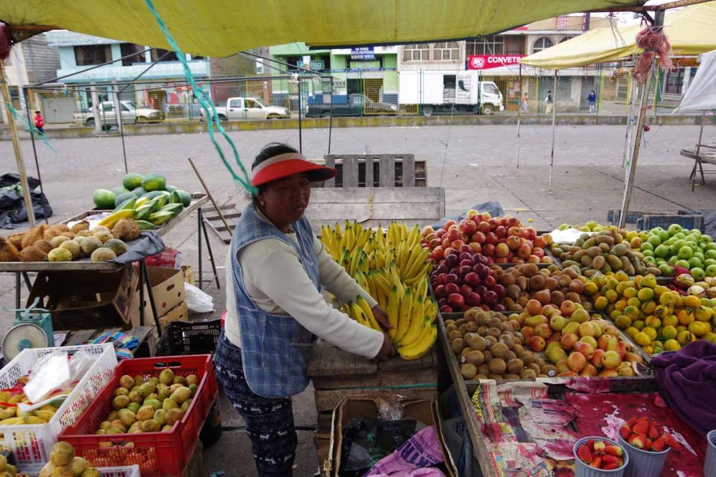
A nice restful afternoon here in Chunchi as look over next few days. I expect a few days to Cuenca before then departing the highland areas and towards lower coastal areas.

Posted in Ecuador

Aluasi

A bicycle ride across the Americas Posted on 2017-05-28 by mev2017-05-28


Aluasi is a great little town at bottom of a steep valley. A contrast from Guamote where I departed yesterday. I was at a nice hotel right by the bus “station”. Not many people around other than waiting for the bus and streets seemed to quickly turn to dirt. In contrast, many people out an around in Aluasi and even looks a bit more touristy.

Overall, hardest part of today was steep descent last few kilometers into town. I left Guamote around 6:30am and it was 4.5C (~40F) and colder than normal including a wind. Fortunately, a tail wind this time. The route slowly climbed a few hundred meters and crossed areas with evergreen trees. However, a lot of more open lands as well.

Passed this simple church, note the importance in the facade.

These folks were going from one bus to another. A majority of people in villages are wearing a colorful traditional dress.

At 24km, I reached a high point and from here almost 1000m (3300ft) of descent awaited, most of that in last kilometers. This mural was telling us about Alausi.

I crossed train tracks several times yesterday and also at start of today. I haven’t seen any live activity but crossings are all well-marked.

This is sheep country as the number of sheep I saw today outnumbered the number of cows (one and that was on a road sign warning of cattle).

Stopped at a gas station before the final descent. The parked bike sometimes draws interest.

Town of Tixan in the distance, I had circled this on road above. After this the downhill route became steep. My GPS recorded 10%, 11%, 12% and 13% consistently and a brief point of 16% but not sure if that was right. I even walked a kilometer or two since I was otherwise going so slowly/carefully that it was easier to walk the bike downhill than keep on the brakes at -13% grade.

By now I was very close to Alausi, hooray!

The central square is next to a train station.

People out selling produce.

Volleyball game in progress. These guys were good and had some spectators. Otherwise, I like this little town and have wandered up and down the main street. It would be a nice place to stay for a bit, though I’ve also looking forward to climbing over the hills ahead. I do know whatever way I go, it will be a steep climb out of this valley.

Posted in Ecuador

Guamote

A bicycle ride across the Americas Posted on 2017-05-27 by mev2017-05-27

Found my first flat road in Ecuador. Only 3km worth, but seems longer than previous flat stretches.


I wasn’t expecting today to be too long or difficult, so had the included breakfast at the hotel. My routine has generally been to set my alarm for 5:30am and get on the road when I am ready, typically a little before 6:30am. Today I was an hour and a half later.

The first 5km were through an urban area with lots of traffic. I was pleased to see just a bit of Chimborazo again even if the top was hidden by clouds.


It was very busy in this area and as I came past 7km, I saw everyone seemed to be on their way to this market. After this a lot less on the road. The first 20km had a bit more climbing than descent.

I came through this small town.

Nice looking fruit stand.

Roasting cuy (guinea pigs), apparently one carrousel can hold ten. They were busy putting on sauce and then slowly rotating them over the fire.

After the 20km point, there was a brief section that was actually flat. The road paralleled shore of a lake as well as a railroad track. After this point, the rest of the day was also fairly easy with more descent than climb.

A good example of the road.

A similar section of road that I took with HDR mode in my camera.

Saw these interesting cactus type plants as well. Definitely drier here than in Colombia, though not quite arid either.

Even with late start, I was in Guamote not long after 1pm. I found a hotel that looked locked. However, ringing the bell and someone came. I didn’t have a bell later to ask to be let out, but eventually someone showed up. Once again, internet was connecting locally but not to the DNS server more remotely.

There wasn’t much to the town, but I tried to see if I could get my phone updated with internet again. The first shop wasn’t much help as they kept asking if I had saldo (remainder) on my plan. I had a few days left, but had gone over the data limits. However, they couldn’t figure it out.

Next place I stopped was an internet café with a young woman (hard to guess age, 16? 25?) attending. We couldn’t update my existing carrier, but she could sell me a SIM card for another provider, Claro. Upgrade went easily, but then we were missing some configuration to make the internet connection. She kept at it, with help texts and calling Claro until it was working.

Later in evening there was an attendant at hotel that I could show the non-working wifi. He plugged in the network cable to the wifi extenders and all was working again. Definitely interesting to have combination of tech stuff as well as language mixed together. Usually, I have a good idea on the troubleshooting, but don’t always have enough Spanish to explain.

Posted in Ecuador

Riobamba

A bicycle ride across the Americas Posted on 2017-05-26 by mev2017-05-26

What point on the earth’s surface is furthest from the center?

Apparently, Chimborazo is that point. Today I cycled past Chimborazo on a ride that was easier than I anticipated. The first 27km for today was mostly a climb of 800m (2600ft) to cross highest point so far on the bike trip. After that it was predominantly downhill almost the same amount to reach Riobamba. What made it easier was that the climb really didn’t exceed 9% anywhere. Also, I feel fully recovered from previous saddle sore.

The hotel filled up including some noisy guests arriving around 3am. However, still a reasonable place to stay. Only downside was internet stopped working in middle of my blog update from yesterday, so I kept that one separate still.

I had breakfast in my room and then started riding up the hill. There was a Shrek behind that fence.

One village on the way up had a basketball court prominently in front of the town church.

Restaurant advertising Cuy (guinea pig) as a specialty.

Another village had this shoe at the entrance monument.

Sign telling of Pope Francis visit to Ecuador in 2015.

Past Mocha it did get steep for a bit, but never extreme and so I could put in lowest gear and slowly crank up the hill.


Once I got up near top, views of Chimborazo came into view. It was tough to tell where clouds sometimes ended and the peak started. The clouds kept shifting in front of the peak. As I cycled along, I must have gotten 20 different Chimborazo photos since each time the clouds would make it look a bit different. This peak is Ecuador’s highest point at 6263 meters (20,548 ft) and also point furthest from center of the earth.

The top of the road crested out near 3600m (11,800ft) so Chimborazo was another 2600m (8700ft) above where I was cycling.

After this a reasonable descent with few extremely steep bits. The road was often four lanes though the shoulder was also at times minimal. Fortunately, traffic was light enough and moved over to make way.

Riobamba is located on a downhill and is a bit of a strung out city. First time, it seemed like a “strip” type city that is common in the US west. First hotel I tried was full, but second one had room and was nice place to stay. Today is a Battle of Pinchincha holiday. The town is pretty quiet and many shops are shut down. Not sure if this is because of the holiday or this is always how Riobamba runs.

Posted in Ecuador

Ambato

A bicycle ride across the Americas Posted on 2017-05-26 by mev2017-05-26

A short and easier ride today with varied terrain: agricultural valley, mid-sized city and then slow climb.


While the summit wasn’t visible, it was nice to spot Cotopaxi this morning, Equador’s second highest point. I cycled through rest of Latacunga town and then was on a four-lane highway with gentle descent down the valley. It was easy cycling with only a hill or two. At 13km, I came to the next town Salcedo.


Not sure why, but hidden behind a low brick wall was this old 727. There wasn’t an airfield or similar nearby. The route took a zig-zag route through city streets before then going and joining the main 35 highway at 18km. There was a toll plaza followed by a 100m climb and after this point, the road shoulders were narrower.


Banana boxes from Equador.

Why the photo? One thing I’ve noticed in my travels is Ecuadorian bananas are pervasive in a large part of the world. They seem to get shipped in a particular size box, almost always with lettering in English and often a weight in pounds instead of kilograms. These boxes then get re-used for a lot of purposes.

As an example, in my ride across Russia, I saw these same boxes in some small towns in Siberia. Despite both Ecuador and Russia being on metric system and neither having English as primary language, they were still standard format. I also found it interesting to consider that path those bananas took to get from Ecuador into interior of Russia.

I’ve found the same boxes in other places in the world as well, though Russia is perhaps my most remote example. I believe many of the bananas in the USA come from Costa Rica, but Ecuador is then largest banana exporter to rest of the world.

That is why I took the photo.


Nearby was agricultural land such as this area. Despite the fields, or perhaps because of them, there are also a lot of houses as well.


At 34km, I came to a choice point just before town of Ambato. This photo summarizes the main items:

  • Riobamba, my destination for tomorrow was 64km away. In that 64km, the road goes over 3600m (11,800fy), so there is still a lot of climbing yet.
  • Ambato, is a nice city center and staying here would be a nice stop in the city. However, would leave a tougher day for tomorrow.
  • A previous blogger documented his approach to go beyond Ambato. He eventually ended up in Mocha staying at the fire station; having thought there would be a hotel there and being incorrect. He had however, documented hotels he came to before then. Some were in countryside, so not as pleasant to stay as city, but some of the climb done.

After stopping at the Petro Ecuador at the right and having a break in the mini-market, I decided to go into center of Amato and see from there.

This guy was delivering bananas, though interesting no boxes to be found.


I reached the main square in Ambato.


There was a nice church here.

After leaving the square, I started on the outbound road. There was a short hill here with an insanely steep grade. I pushed the bike up the hill.


A little further, I felt my tire go flat. I had ridden over glass. Took a slow careful time to unpack everything, diagnose the flat and then fix it. It was directly in the middle of the tire. Hopefully doesn’t leave a hole for further flats.

After the flat, I decided to stop at next hotel along the way, only 2km further. Nice hotel and I’m on the “outbound” road from Ambato about 5km from city center. So still close enough to have stores and services and also 150m higher than city center so a little less climbing for tomorrow.

Note: This post was all ready to go when the internet stopped working. I had a fun Spanish exercise of asking, “can I reboot the router” to someone who seemed to think the remedy to a DNS issue was to connect from elsewhere. In the end it didn’t help. I also ran through my cell phone MB without internet so until I can recharge those minutes, won’t have internet from the cell phone. In any case, uploaded today instead of yesterday.

Posted in Ecuador

Latacunga

A bicycle ride across the Americas Posted on 2017-05-24 by mev2017-05-24

Back to one on the road. Today Bert and I climbed the hill from Machachi. At the top, Bert turned back to Quito and I descended down the other side to Latacunga. A little cold with a strong south wind but otherwise a fairly easy day.

You will have to imagine that somewhere behind that large cloud is an active volcano named Cotopaxi, since that is what I did today as well. No glimpses of the 5897m (19,347 ft) volcano. It was ~7C (45F) starting out and became a degree or two colder as we gained elevation. That wouldn’t have been too bad, but seemed colder because we also had a wind blowing cold air in our faces.

The route itself was on a nice shoulder and grades that were 5-8% for a few kilometers and less for most rest of the way. Overall one of the easiest longer climbs we’ve had in Ecuador.

At the top it pretty much leveled out. There was a nice little restaurant with enclosed glass porch that could serve hot chocolate. Perfect! We could watch the bikes and also warm up a bit. Photo above was our “end of the journey together” shot as after this, Bert descended back down with a nice tailwind and I went across the level top and then descended into the headwind.

(Note: Anyone using this web site to check for Bert, he reported later that he cycled all way back to a hotel close to the airport. Not planning to place further updates in the blog).

Near the top, saw multiple signs like this one warning this was an active volcanic zone.

My odometer telling me I’ve now climbed higher than Fremont Pass in Colorado and hence highest point on the trip so far. I expect that record to be broken in next few days as a few upcoming climbs are just a little higher.

Lenin Moreno is the newly elected President of Ecuador. He took office today as the 44th President. While I didn’t notice anything else celebrating the start of his term, there are still some election murals like this one around.

These signs point to where you can go for a shelter from volcanic eruption. Remind me of tsunami signs in Pacific Northwest of USA, or flash flood warning signs in Colorado.

These guys were hard at work, cleaning a monument that appears to celebrate people hard at work.

A fairly basic church across the road with tin roof. Machachi had a nice church but otherwise haven’t seen many in last little bit.

I passed a military base, looks like airborne classification. Also can see the flags reminding me of the headwind. Fortunately, the downhill grade was gradual at this point so downhill and against the wind seemed to cancel each other out.

Cycled into Latacunga and found a hotel without too much difficulty. A nice advantage of watching other blogs.

The city also seemed to have a small military base.

Posted in Ecuador

Machachi

A bicycle ride across the Americas Posted on 2017-05-23 by mev2017-05-23

Two rest days in Quito and chance to take a short break from cycling.


Photo above shows Bert enjoying local delicacy of cuy (guinea pig).

I stayed with more standard and basic fare. My body was recovering from a few things: GI tract still adjusting to food or water or something. A little more concerning, but looks to be on the right track was I had developed a saddle sore that had become infected. It was hurting the two days riding into Quito. I guessed a day of rest would help and also from internet learned that my malaria medicine (doxycycline) was sometimes prescribed as an anti-biotic. So followed instructions for doxy as if I would enter a malaria region (only found below 1500m in Ecuador).

After first rest day, the infection wasn’t much better, so we found a local clinic for a consultation. That was its own adventure but reasonably efficient. First had picked out something from internet but our hostal owners said it was now mostly for older Ecuadorians on their equivalent of social security. However, they had a recommendation. First place was an emergency hospital but guard was able to recommend a second. A short wait and was seen by a doctor who cleaned things up further with anti-biotic wipes/cremes and confirmed my anti-biotic medicine choice and suggested anti-inflammatory as well. Today was feeling much better when we departed. Now will need to be careful in next days (and rest of trip) to not have relapse. However, overall was good choice to take that break and Quito was the right place.

Today we had some busy roads getting out of Quito. First was local city streets including this short stretch of bike path.

Leaving the city, the highway became considerably busier. We were headed “outbound” but as you can see from photo above, they had switched one of our lanes to now also come inbound. However, after 8km, we were on different highway, still busy but no longer as congested.

We climbed including past some overlooks with good views of the city.

Eventually on the main highway. Sign above not far from Machachi and shows good list of upcoming cities on the highway over next days.

Once in Machachi, we found a reasonable hotel and went out to get lunch.

Photo above actually our hotel, but also taken with slightly larger perspective to show one of the volcanoes in the background. There is a tall volcano, Cotopaxi, not too far from here but we haven’t seen it yet.

Banana’s not too expensive here at $0.50 for five bananas. Have bought them even less expensively but this was still reasonable price.

Overall plan is for Bert to join me in first part of tomorrow, but once we reach top of the hill, I’ll go over on to next town and Bert will turn back headed towards Quito for next part of his trip.

Posted in Ecuador

Quito

A bicycle ride across the Americas Posted on 2017-05-20 by mev2017-05-20

Sometimes you know when you are ready for a rest day. Today was one of those days. It wasn’t particularly long at only 36km and not an enormous amount of climbing with only 980m (3200ft). There were some steep bits and somehow my body was saying, time to take a rest. So tomorrow will be nice chance to rest here in Quito.

Our route started with 3.7km of mostly descent to the river. From here, a good highway climbed 695m (2280ft) in the next 11.6km (7.2 miles). Do the math and it is only an overall average of 6%. However, there were some steep bits, particularly at start, where my odometer recorded 9-12% climbs. By time I reached the not as steep parts, I was dragging a bit more.

Here you could see as we approached Quito. The city itself was up on the hill and a bit more to climb. We took a bit of a roundabout route.

Nice to see the Quito sign at last!

After this point it was urban cycling. Here was a Texas Chicken place.

I saw a variety of cycle facilities. This one mostly indicated an on-street bike route and nothing special.

There was a little park with a bike path.

That brought us into our destination near Foch Plaza. This area seems to be a “backpacker” destination with many hostals, bars, restaurants. We had some more difficulty finding a bread shop or reasonable market shop. I was able to renew my phone for another week ($3).

Definitely a tourist photo. The guy wearing a sombrero was advertising his “Mexican Food” restaurant to backpackers that were walking past.

Overall, happy to get here into Quito and looking forward to a day without cycling tomorrow before heading further south after that.

Posted in Ecuador

Guayllabama

A bicycle ride across the Americas Posted on 2017-05-19 by mev2017-05-19

Across the equator and into the Southern Hemisphere. Greetings from 0.06 degrees south.

Nice morning leaving Otavalo, though my GI tract wasn’t quite agreeing. Stopped twice in first 10km and better after that. We started out with a climb for the day, a bit of level and then more climbing again.

This statue was somehow along the road now really connected to anything.

A view of fields along the way during the climb.

At 20km point we were over 3100m (10,000ft) and nice little shop that sold hot cocoa among other things.

First views of Cayambe volcano here at 5710m (~19,000ft), Ecuador’s third highest peak. The south flank is on the equator. It is the highest point on the equator and only one that is snow covered. There were two routes here to Quito – the longer one went via Cayambe town and the shorter one via Tabacundo. We had much more detailed notes on the first one, but it was 10km longer and decided we’d try shorter route instead.


More views of Cayumbe, can you tell I was impressed?

After this generally downhill, though we just enough shorter uphills to keep climbing muscles engaged.

Lenin was recent candidate in elections here.

Crossing the equator itself was a bit anti-climatic since the road we were on didn’t have any specific marking or monument (the Cayambe route had one). So mostly looked up the GPS coordinates on my phone and within a kilometer of when I crossed, took this shot as the first one in Southern Hemisphere.

One short intense 2km climb at the bottom and we were now past little town of Guayllabama. There was motel along the road and nice place to stay. Still a substantial climb between here and city of Quito, though we’re getting closer.

Posted in Ecuador

Otavalo

A bicycle ride across the Americas Posted on 2017-05-18 by mev2017-05-18

A longer ride today as we regained the 1000m we lost the day before. Overall, 1257m (4124ft) of climbing today.

Yesterday we stayed at bit of a countryside resort, complete with swimming pool. There were few other guests. It was warmer and in the evening we had a few mosquitoes in the room. Overnight it cooled down and was raining when we awoke. Breakfast was included with the room, so we stayed until the restaurant opened. This meant we left about an hour later than previous days, but with on and off rain showers, this wasn’t all bad.

The first 16km were flat to slightly downhill. Photo above shows sugar cane,

Also some cactus here as well.

At 16km, we started the longest part of the climb, ~600m (2000ft). The grades were reasonable and rarely over 8%. It was more a case of getting into a low gear and slowly going up the hill.

Nice to see signs warning of cyclists on the road.

More plants on the way up, these had interesting curls.

Some more plants here as well.

As we got higher up, we could also see better views. Occasional sunshine but the nearby peaks were shrowded in clouds most the day. Top of this climb was 32km and stopped at a small restaurant here to refuel. From this point, we could see across to larger town of Ibarra, population 140,000. Our route crossed middle of town.

First greenhouses to see. Occasionally, see these in other places in Ecuador as well.

Ibarra was busy and shoulders were occasionally narrow. On the far end, the road became first four lanes and then six lanes. Here was second larger climb of the day as we slowly climbed our way out of Ibarra.

We crossed two toll plazas. In Ecuador, we are generally directed onto side paths to get around the toll lanes.

Later afternoon and we got into Otavalo. This is more of a touristy town with nice city center. Our first hotel was full and second one was a little ways away from center. Was tired enough from climbs today that we did a little walking for dinner as well as super market but otherwise I stayed closer to the hotel. Still more hills in this area, though nice to slowly get closer to Quito.

We’re now at 0.23 degrees north latitude, so need to go check the drain and see if Coriolis effect is still causing water to swirl down counter-clockwise. In any case, this link suggests the effect would be weak here.

Posted in Ecuador

Post navigation

← Older posts
Newer posts →
©2025 - A bicycle ride across the Americas - Weaver Xtreme Theme
↑