↓
 

A bicycle ride across the Americas

from Deadhorse (SCC) to Ushuaia (USH)

  • Home
  • Plan
  • Blog
  • Photos
  • FAQ
    • Why?
    • Where?
    • What next?
  • Map
  • Equipment
  • Calendar
  • Countries
    • USA
      • Alaska
      • Montana
      • Wyoming
      • Colorado
      • New Mexico
      • Arizona
      • California
      • Texas
    • Canada
    • Mexico
    • Guatemala
    • Honduras
    • Nicaragua
    • Costa Rica
    • Panama
    • Colombia
    • Ecuador
    • Peru
    • Bolivia
    • Chile
    • Argentina
  • Weather
  • Links
  • Contact
Home→Author mev - Page 4 << 1 2 3 4 5 6 … 33 34 >>

Author Archives: mev

Post navigation

← Older posts
Newer posts →

Zapala, wind and some additional rest days

A bicycle ride across the Americas Posted on 2017-10-01 by mev2017-10-01

Decided to take some additional days in Zapala to let a weather system pass through.

The next town is 200+ kilometers to the south-west with nothing in between. Following are weather forecasts over next few days.

  • Sunday – Winds from W, 41 km/h gusting to 59 km/h
  • Monday – Winds from WNW, 30 km/h gusting to 50 km/h
  • Tuesday – Winds from WNW, 44 km/h gusting to 96 km/h
  • Wednesday – Winds from WNW, 59 km/h gusting to 78 km/h
  • Thursday – Winds from WNW, 72 km/h gusting to 96 km/h
  • Friday – Winds from W, 9 km/h, gusting to 15 km/h

On the other side of the gap forecasts also have high winds along with occasional rain and drizzle.

While I could slog through the next days and make it across the gap before the worst winds, it wouldn’t be pleasant riding. I have some time that I might otherwise spend in Bariloche that I will now spend in this nice little town.

Posted in Argentina

Zapala rest day

A bicycle ride across the Americas Posted on 2017-09-30 by mev2017-09-30

Enjoying a relaxing day in Zapala as well as figuring out the next cycling sections.

End of September and I’ve cycled 23,845 kilometers (14,817 miles) so far. For fun, I decided to plot out the distance cycled vs days on the road above. I labeled the horizontal shelves where I stopped for a bit before continuing.

Each “box” is one month wide and 2,000 kilometers high and so shows when riding I’ve been fairly consistent in riding 1,500 to 2,000 kilometers per month. A little less in Central America and the start of South America and a little more in the first four months and last month before Mendoza.

The TDA ride from Puerto Montt to Ushuaia will be ~2,500 kilometers in one month including a good stretch of unpaved roads. The riding will thus be at a quicker pace over rough terrain – but also no longer carrying my gear in my panniers nor having to chunk my route into appropriate stops, get food/water or other items. In any case, it will be an interesting change.

I am still figuring out whether to stop for approximately four weeks in Bariloche and take a break before cycling over to Puerto Montt or to keep cycling south after Bariloche for another four weeks and then take a ferry back around. Some of this will depend on how tough the Argentina section of Ruta 40 will be further south and hence I am taking some time to read further.

Zapala is a small town with a main double street downtown.

There is art of more classic type.

Also art of a more modern style.

A reasonable sized supermarket that is open much of the day.

Also little shops like this bread shop.

From here I expect approximately a week of riding to Bariloche. The next 200 kilometers is a gap with no towns or services. I expect three days riding or perhaps two if the strong headwinds forecast turn out less than expected. This should still be a dry and windy section. After the gap, it brings me to the “Lake District” with a lusher (and wetter/rainier) area.

Posted in Argentina

Zapala

A bicycle ride across the Americas Posted on 2017-09-29 by mev2017-09-29

Two longer days riding through sparsely populated areas have brought me to the small town of Zapala where I will also take tomorrow as a rest day.

Day One – Chos Malal to overlook roadside camp
Nice cycling day with three longer climbs and a lot of open scenery. It was drier again and I saw fewer little creeks in the drainages I crossed.

A few kilometers outside Chos Malal was a police checkpoint. They seem to have these occasionally and typically wave me through. However, at this one, I showed my passport and they carefully recorded both my name and passport number.

Just past that was the monument shown in the photo above. It marks the half-way point for Ruta 40. I have mostly followed this route from Cafayate (two days cycling past Salta) until now. Ruta 40 actually starts at La Quaica where I entered Argentina and swings west through higher elevations. It ends just on the southern border with Chile. It is a great cycling route skirting the Andes mountains just on the east side.

Here was the sign in English at the monument. The tall curved item in the first photo as a curved flagpole where the curve represents the strong and persistent winds found in the area.

On the first climb, I came past this truck with a gracias to Difunta Correa. I normally see this reference in roadside shrines.

After the long climb, one could see views of the valley ahead. Down across this valley and then another slow climb brought me to a potential camp point near 75 kilometers. However, the day was going well, so kept going and even had a light tailwind.

Looking down from the second climb.

Large radio telescope in the distance.

At end of the day was a slow climb up a hill. I saw a very small newborn goat near the road. The mother had scampered away so now the small goat had to find her again. No photo since I figured it was better to get them reunited.

Just off the road was a great little campsite. It was close to the road but hidden behind a small hill. There was a view into the valley below. The wind kicked up once or twice overnight but overall was still reasonable.

Day Two – Overlook roadside camp to Zapala
Today had a weather system moving through with a few showers and brief but strong winds.

Near sunrise at my small overlook camp.

The first 40 kilometers the route turned slowly to the west. Unfortunately, this meant I had a light headwind.

A little past this point it started to rain and the wind picked up. The wind kept getting stronger and I stopped to put on my rain jacket. It was a slow steady slog against a strong gusting wind driving rain hard enough to sting. Almost as quickly as the squall had picked up, it then subsided as well.

The clouds lifted, the sun almost came out and looked much brighter than just fifteen minutes before.

At 40 kilometers was the small town of Las Lajas. It had a municipal campground with good reviews and the small main street shown above. However, since the road turned to SSE, I also expected some nice tailwinds that could help push me another 56 kilometers to Zapala.

The museum on edge of town had dinosaurs outside.

The road became busier between Las Lajas and Zapala. Some may have to do with there being small towns. In addition to the west is one of the crossings between Chile and Argentina. Cars and trucks mostly had Argentina license plates, but these might still have visited Chile.

Another rain squall as I came to Zapala with its Las Malvinas sign.

Here was an entrance to the town. I saw four road cyclists on my way in. Otherwise found a reasonable hotel not far from the bus station. This is the largest town for a while and I decided to take a rest day as there will be some larger gaps again between here and Bariloche. The weather forecasts are a bit more volatile for next few days so want to tackle these gaps with fresh legs.

Posted in Argentina

Chos Malal

A bicycle ride across the Americas Posted on 2017-09-27 by mev2017-09-27


Easier than expected for 1200 meters of climb today. I spent half a day riding in colder cloud/fog and the rest in much nicer sunnier skies.

Not long after leaving Buta Ranquil, the picture above was my view. It was a few degrees above 0C (~36F) and cold on my hands during descents. I expected the route to have hills and was fortunate that wind was minimal and even at times a light tailwind.

Coming down one of the first hills, I could barely see under the clouds.

From 34 kilometer point there was a ten kilometer hill. It was a slow climb but never very steep. This guy on horse just crossed the road ahead.

At the top of the climb the view opened up and I was out of the clouds. It also became warmer. Nice to see some mountains in the distance including some I hadn’t seen before.

Wide sweeping views and otherwise still a dry terrain.

One subtle change I did notice is the little gullies now seem to have water in them. While the landscape is dry, it does start to point to an area with just slightly more water than before. The hills above also occasionally have snow patches.

Can you spot the armadillo? It was doing best it could to hide.

As I got over the last hill there was a sign warning of winding road and steeper descent ahead. It was all still reasonable, but nice finish to the day with a downhill.

In the distance is Chos Malal. This is first town over 10,000 people (barely) since Malargue some five days before. There is a nice small town square and a few hostels. Also surprisingly not one but several supermercado grocery stores.

Posted in Argentina

Buta Ranquil

A bicycle ride across the Americas Posted on 2017-09-26 by mev2017-09-26

Four days cycling from Malargue have brought me to Neuquen Province, the first in the Patagonia region. Cycling was through dry areas, with some rough roads and not many towns.

Day One – Malargue to Bardas Blancas

Relaxing rest day yesterday in Malargue. Today was an easier ride over the hill and down to the Rio Grande town of Bardas Blancas.

Above was the clock in the middle of town. Off to one side was a large Vea grocery store. It was cool but not cold as I cycled out of town.

On the way out of town was another sign to Puerto Argentino (Port Stanley). The asphalt was rough here but was better later.

Wide open spaces. This area continues to be dry with only low scrub brushes.

Still small shrines, though they seem to use the rocks more.

Getting close to the top of the hill with rock outcroppings.

There was a sign for a business that looked promising.

Unfortunately, it was down below and off the road.

As I got closer to Bardas Blancas, the first signs for road construction followed by several kilometers of gravel road.

Rio Grande River. Plan is to follow this valley for the next day.

Bardas Blancas was small village whose population is ~50 people. There was a small hostel here with an inexpensive room. Had a nice big lunch that ended up being as expensive as the room. Otherwise a relaxing afternoon in anticipation of a tougher ride.

Day Two – Bardas Blancas to a gravel pit

Breakfast was bread and cheese. Somehow the cheese reminds me of geology: (1) the cheese starts similar to igneous rock from a mold (2) I purchased it in sedimentary rock mode, when it has been sliced and then layered (3) after a day or so in the panniers it looks more like metamorphic rock and has been transformed by heat and pressure.

There were three main sections of road today: ~30 kilometers of mixed gravel and pavement – followed by 26 kilometers of asphalt – followed by the start of a 50 kilometer gravel stretch.

Good example of the first intermittent section with gravel and asphalt. Overall this wasn’t too difficult to ride and certainly easier than later.

There were a few “construction” signs but not much actual examples of the road under construction. There was this work camp, but unlike Bolivia where they were working everywhere on the road even on a Sunday, there were far fewer signs of any construction at all.

Well number 210

Good pavement and great views along the way.

I crossed the Rio Grande again. The river was narrow and down in a small canyon that was marked by lava rocks.

After this started the long gravel stretch. The first 10 kilometers had many loose rocks, often as big as my fist. It was a slow ride with frequent stops.

This chicken is crossing the road. I don’t know why.

Another section of rock outcropping.

At 81 kilometers, I was coming to ending point of where the Rio Grande would split from the road. I have an Android app, iOverlander that overland travelers use to mark points along the way. Most of these are in trucks or motorcycles, but still helpful to find wild camping places. This gravel pit was one place listed and it gave some shelter from the wind.

Day Three – Gravel pit to Barrancas
Today I made it to Patagonia. The first 25 kilometers continued on the gravel road. The surface was marginally better but there was also 500 meters of climbing so it was still a slow ride.

My campsite in the gravel pit. The wind came in bursts. Sometimes a strong wind and a lot of the night not much wind at all.

Start of the gravel road.

My last crossing of the Rio Grande. Notice how brown the water is with sediments.

Small bridge over the river.

Pavement!

It took more than three hours to slowly ride up the gravel road up the hill and finally saw the asphalt. As I got closer to top of the hill the wind also picked up.

Highest point, looking back on a small lake.

Slow down, winding road with steep grades. The wind kept it from being too fast.

At the bottom of the hill was the Barrancas River. Mendoza Province is part of Cuyo Region. In Argentina I started in the Region Norte near Salta. The Cuyo region was in the middle.

Across the river was the Region Patagonia. Hooray!

Climbing up the hill was small town of Barrancas. Another small hostel here. Nobody was around, but there wasn’t anywhere else to go, so walked around town and eventually someone showed up.

Day Four – Barrancas to Buta Ranquil
Today a short ride, less than half day to Buta Ranquil.

Up the first hill out of town. It was a cold morning with a brisk wind.

Continued wide expansive views along the way.

Buta Ranquil is located right next to a tall mountain. Without much difficulty was there by 11am after a shorter ride.

Some of the streets in town. Getting in early meant I was still before siesta time, so shops were also open.

Bread shop in town.

Otherwise nice to be back in a place with internet and small town here. Expect Chas Malal to be an even larger town and then some gaps again before Bariloche. Not sure when, but I anticipate areas with more trees as I get close to Bariloche.

My latitude of 37 degrees south is now further south than Cape of Good Hope in Africa (34 degrees south) and almost as far south as southern part of mainland Australia (39 degrees south). Tasmania and New Zealand still have points further south, but in a while, I’ll be far enough south that there won’t be large land masses to block the winds from whipping around the Southern Hemisphere and into South America. Patagonia is known for wind and expect these will become stronger as I go south.

Also a note that Laura and Ernie had an interesting post about their ride through this area.

Posted in Argentina

Malargue

A bicycle ride across the Americas Posted on 2017-09-21 by mev2017-09-21

Happy spring or fall for those of you in the northern hemisphere.

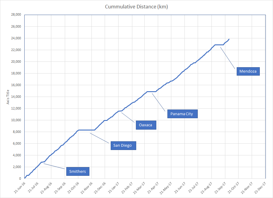
While cycling I’ve become more aware of phases of the moon, time of sunset and length of the day. Since Lima, there have been two factors affecting the day length: as I went further south, the days became shorter and as spring approached, the days became longer. Between Arequipa and Mendoza these two factors almost canceled each other out, leading to 11 hours and 15 minutes between sunrise and sunset in both cities. After Mendoza, the days have been getting longer and from here until Ushuaia both factors are now increasing the length of the day – to reach 17 hours and 20 minutes on the solstice in Ushuaia.

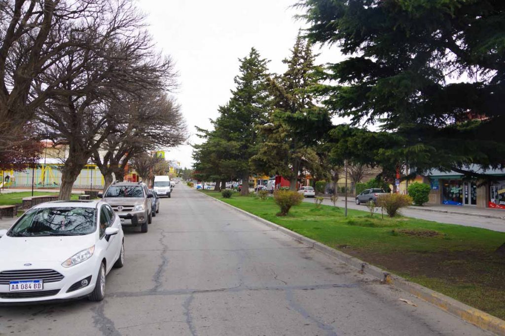
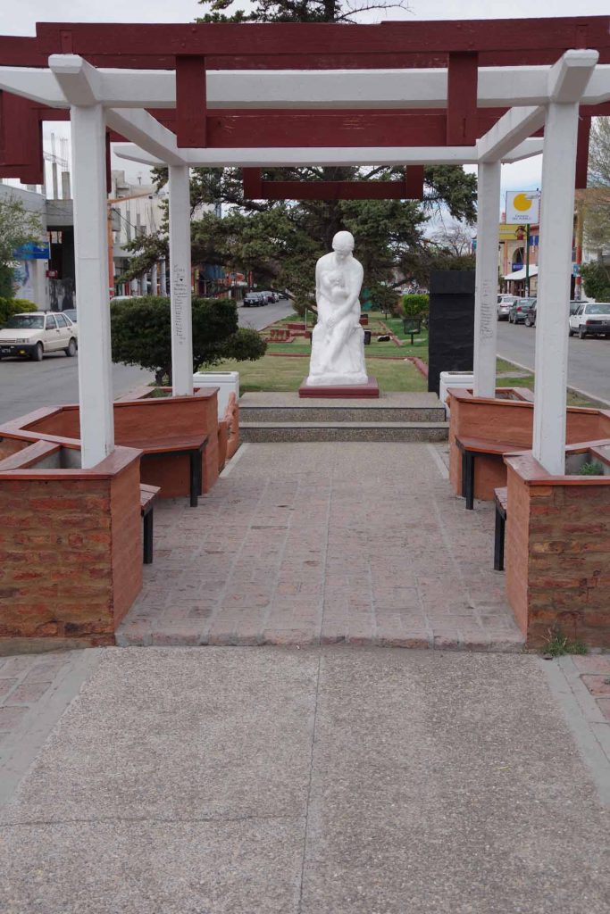
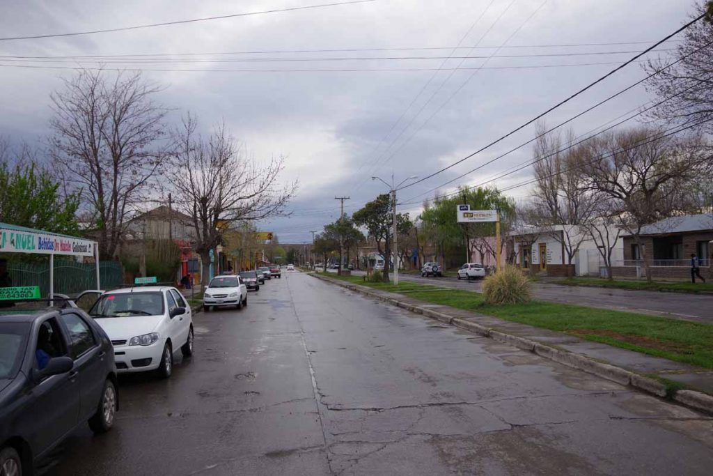
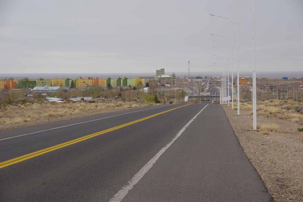
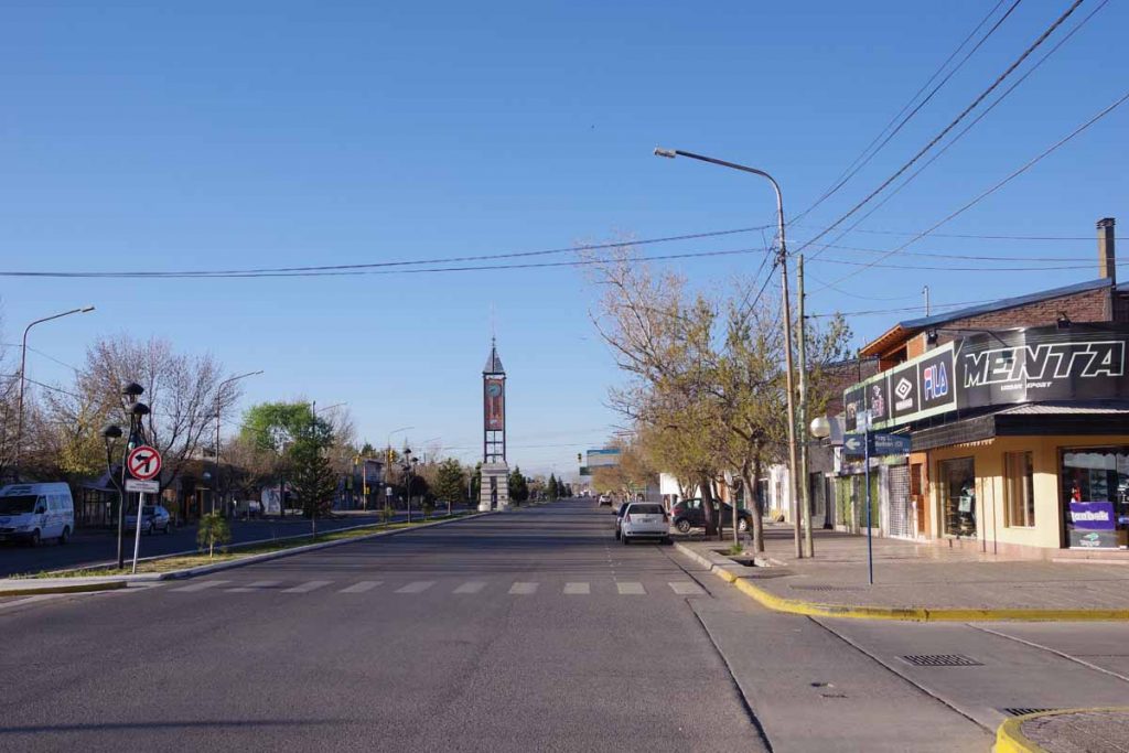
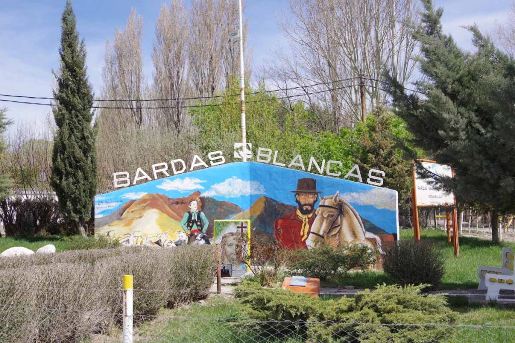
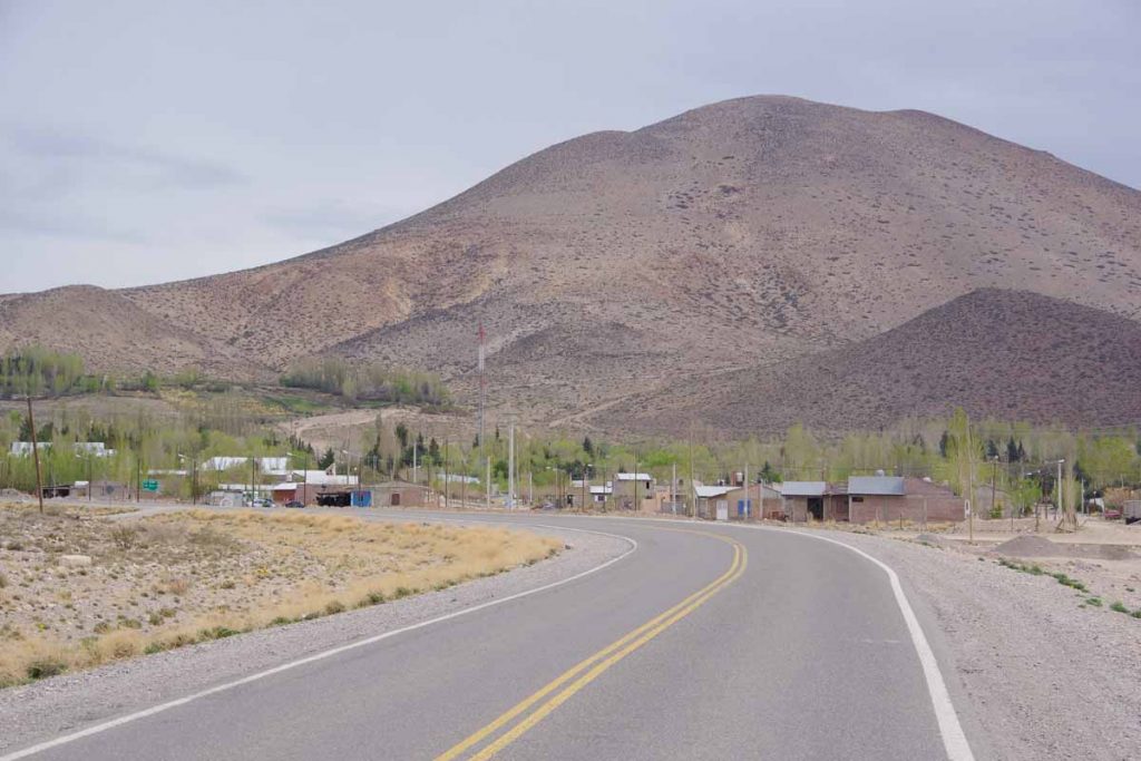
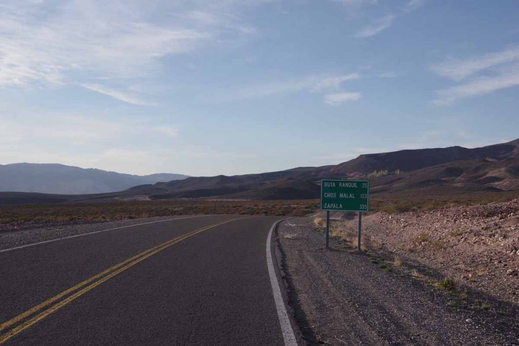
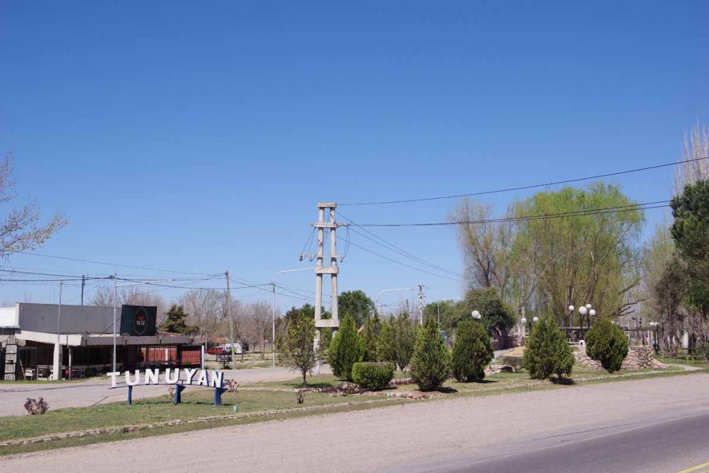
Two days brought me 188 kilometers further to the town of Malargue. A small town with wide streets and also where I’ve planned a rest day for tomorrow.

Day One – San Rafael to roadside camp

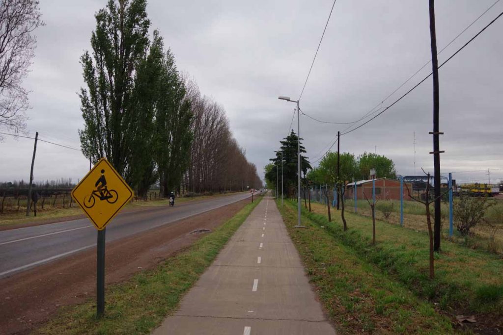
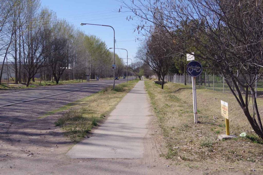
It rained overnight. My bike was parked outside as I’d let the hotel talk me into placing it in the alley behind a locked door. However, didn’t look too wet and rain was pretty much past when I departed. The first fifteen kilometers were still through San Rafael including this bike path shown above.

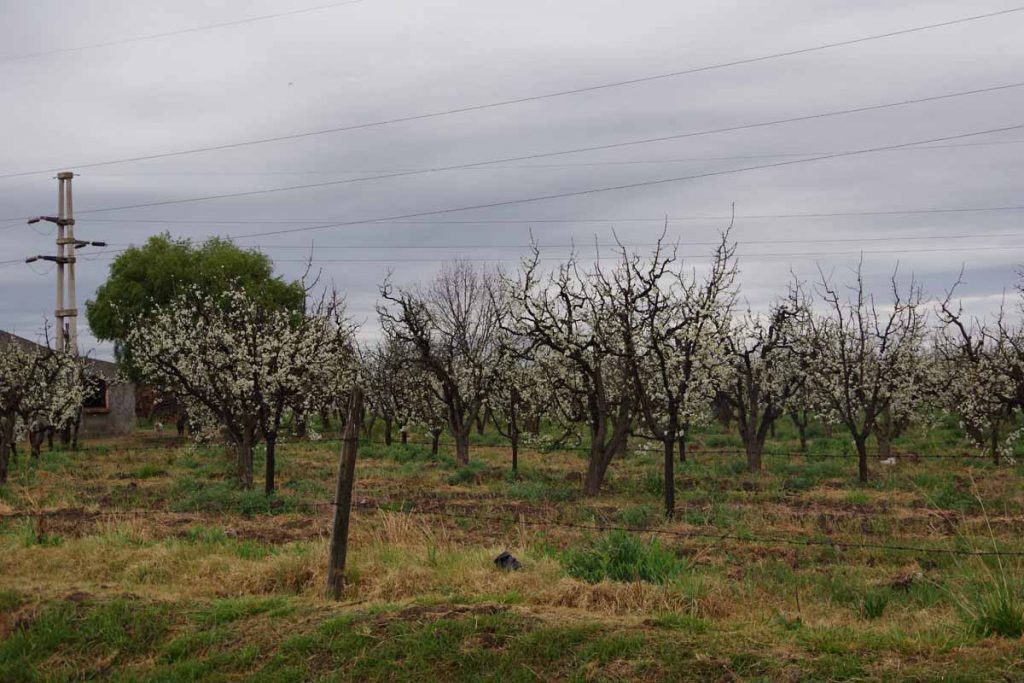
Fruit trees are in bloom.

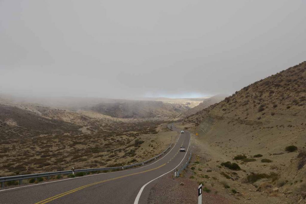
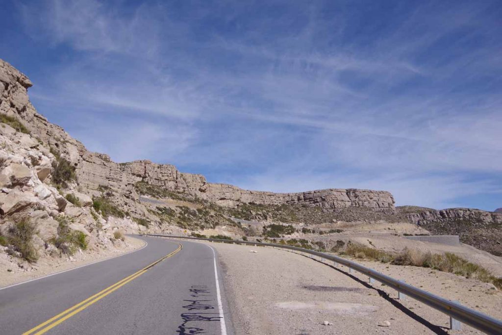
On the edge of town, the road started climbing. There was a brief stretch of 8% grades, but most was a gentle 1% or 2% climb.

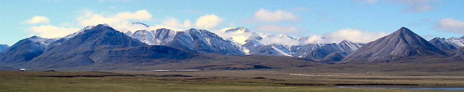
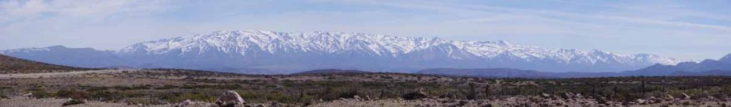
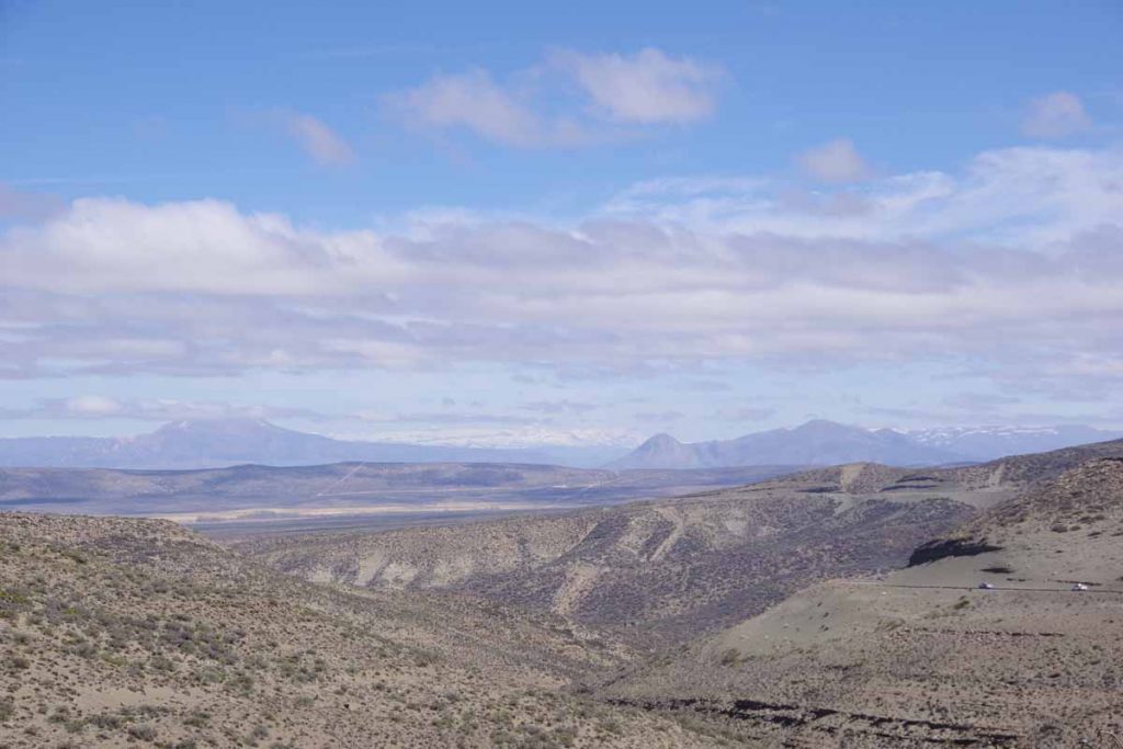
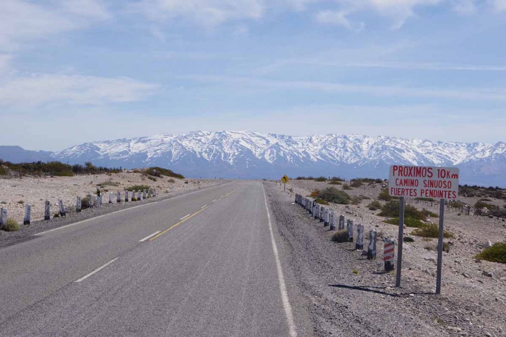
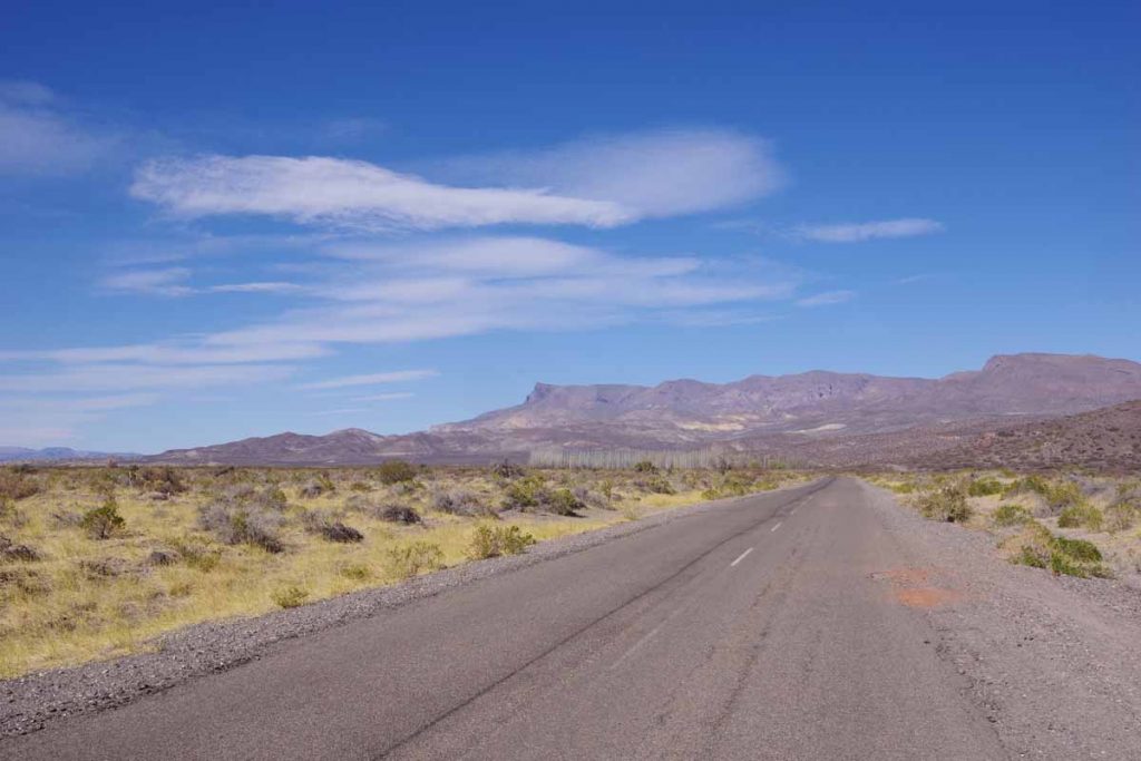
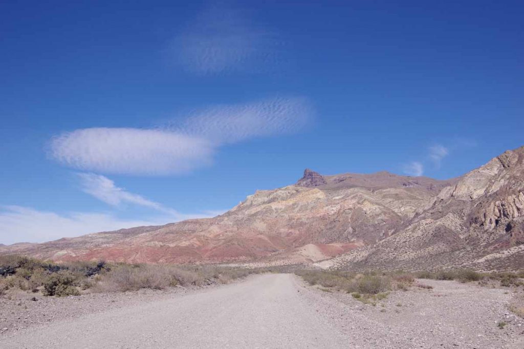
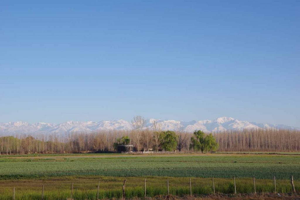
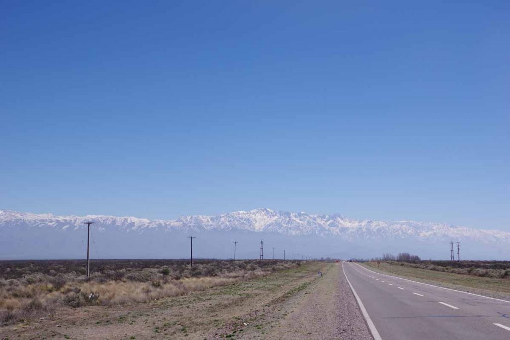
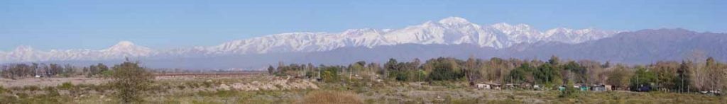
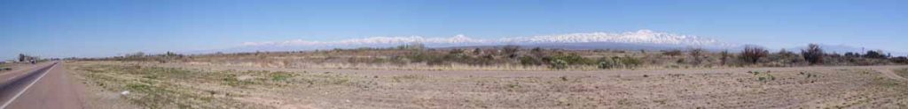
Some wide sweeping views at top of the first climb including snowy peaks again.

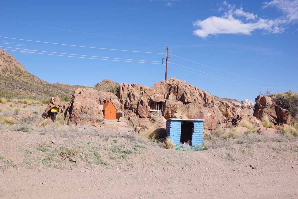
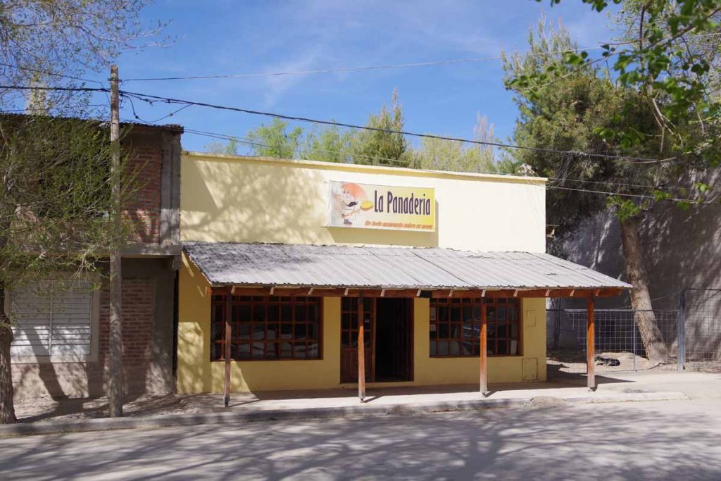
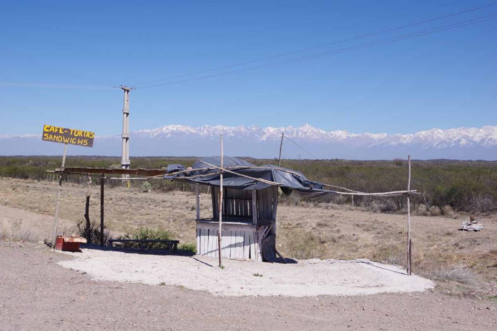
At 52 kilometers was the only real business establishment after San Rafael. This small cafe is where I had lunch.

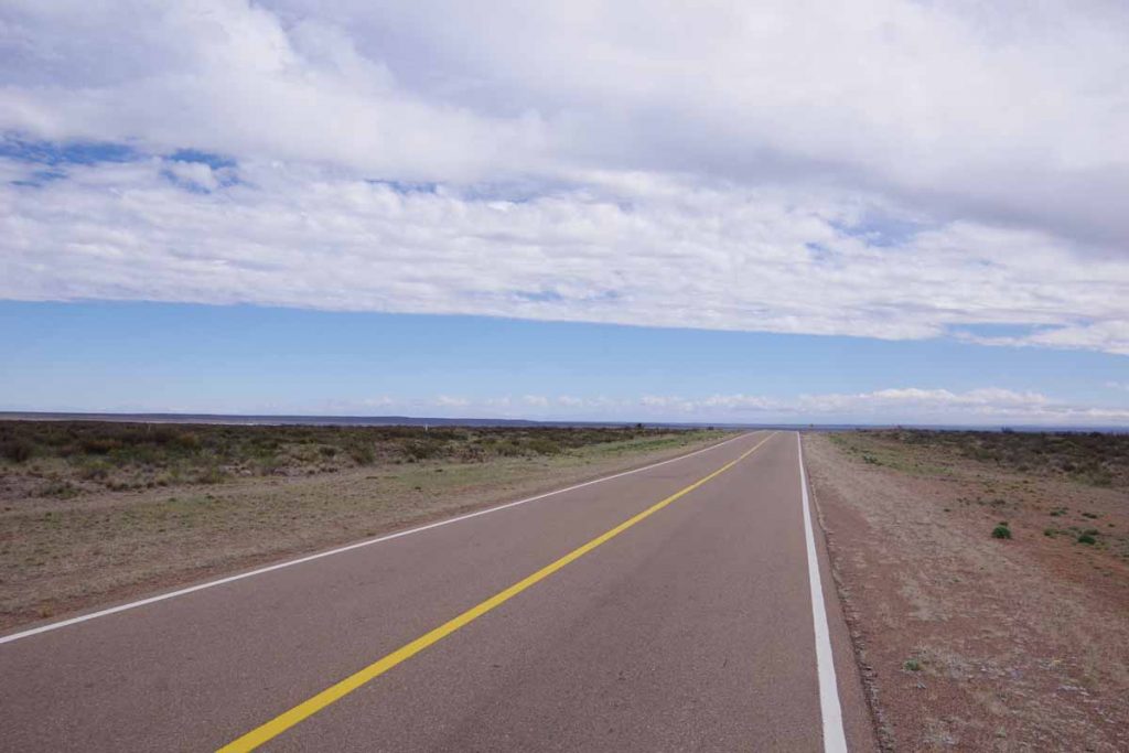
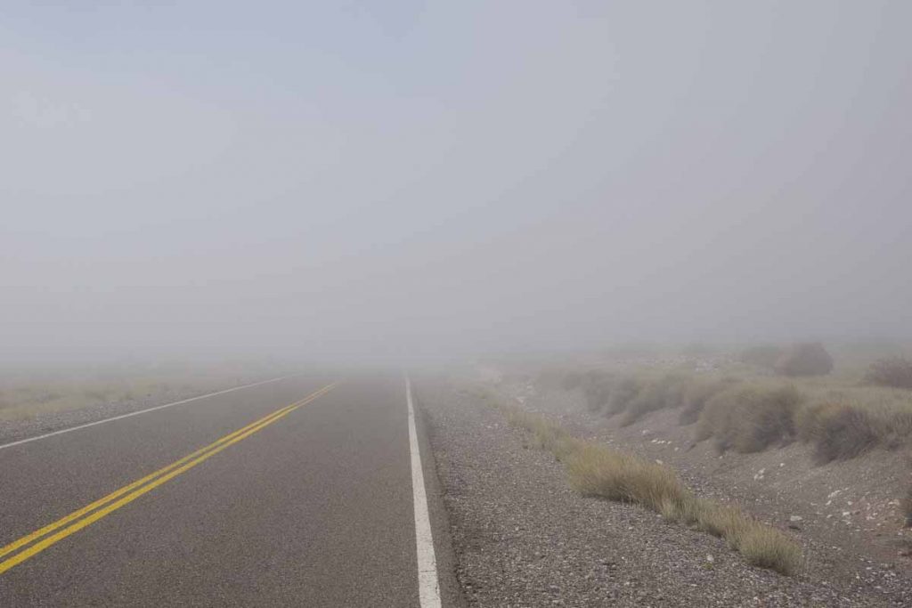
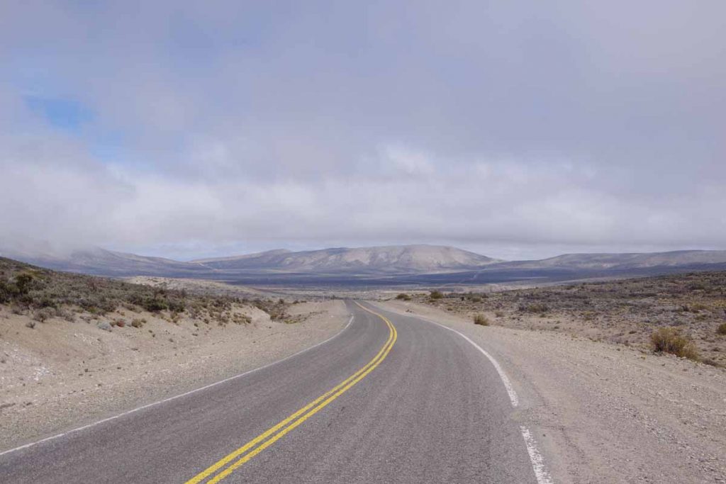
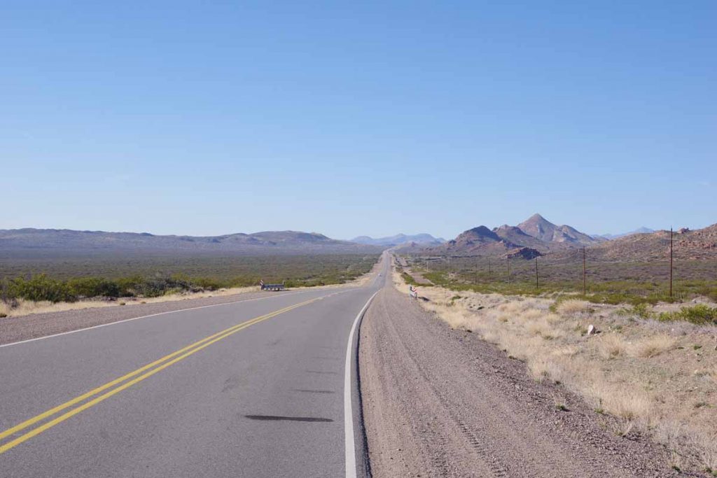
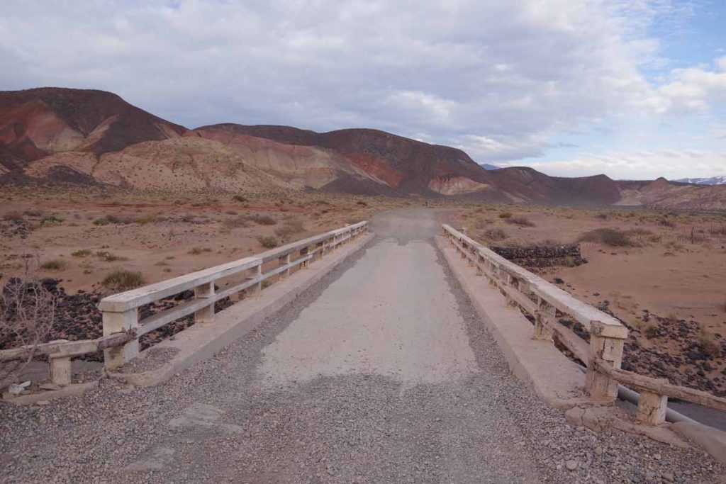
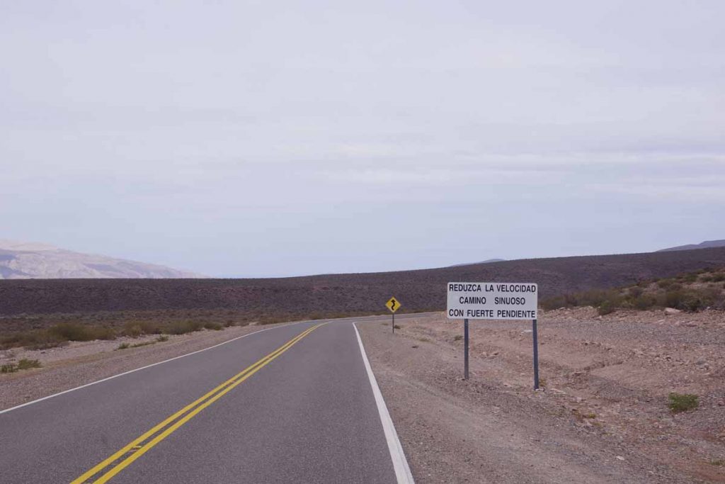
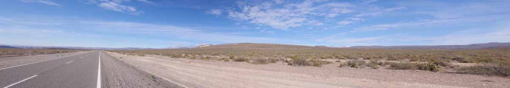
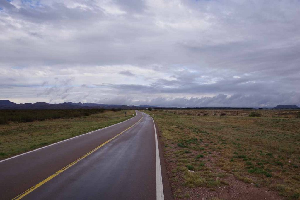
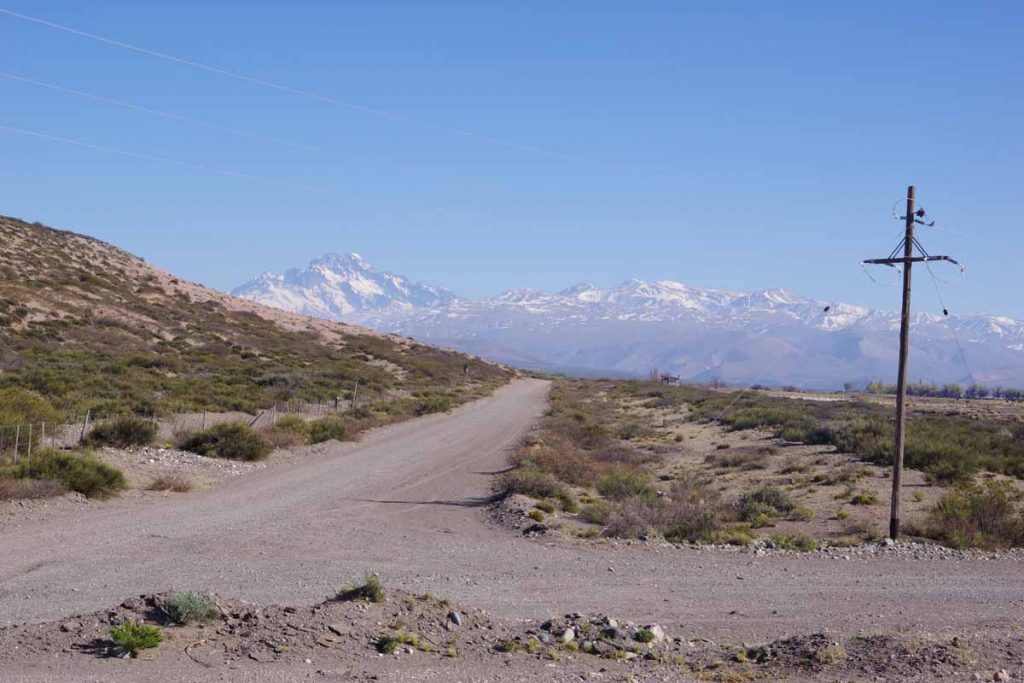
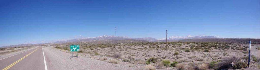
The road was smooth. There were fences on both sides and this didn’t look the most inviting to camp.

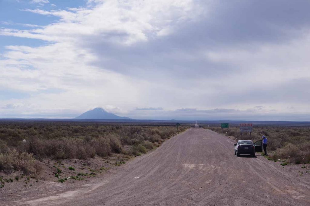
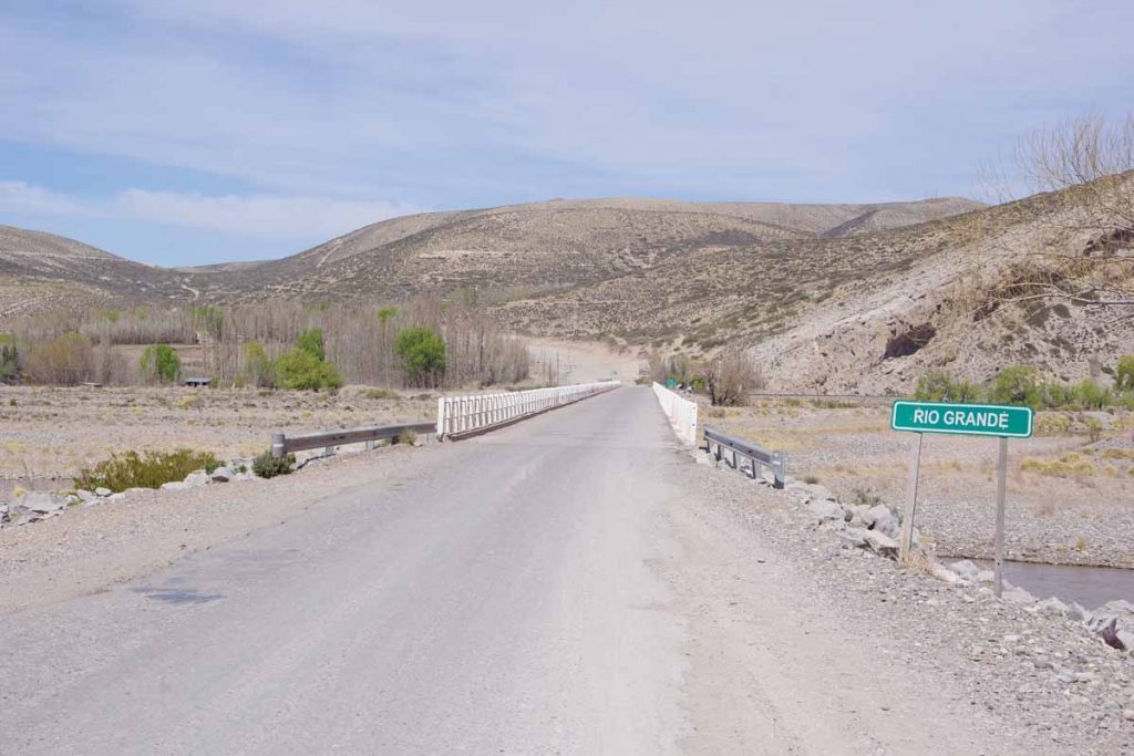
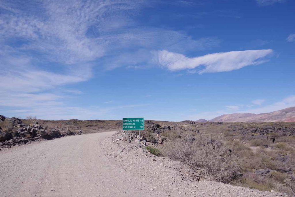
The other end of this road was in Pareditas. It was 113 kilometers of this gravel that I had avoided by going around via San Rafael.

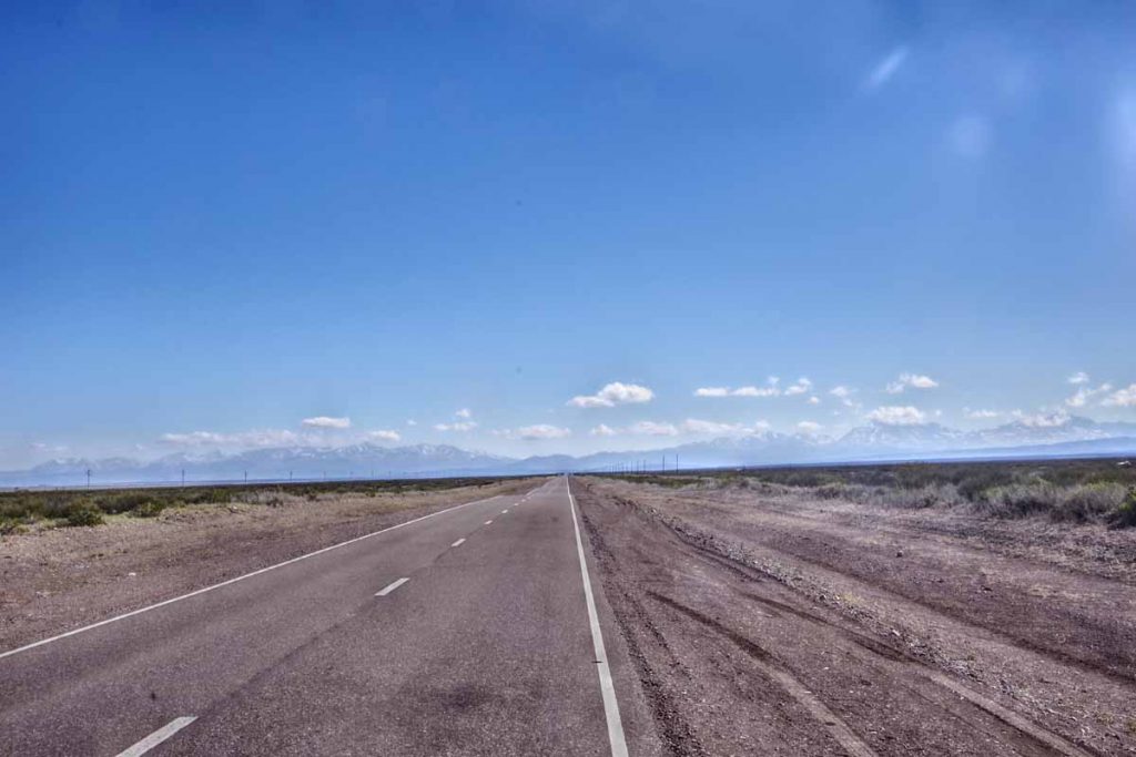
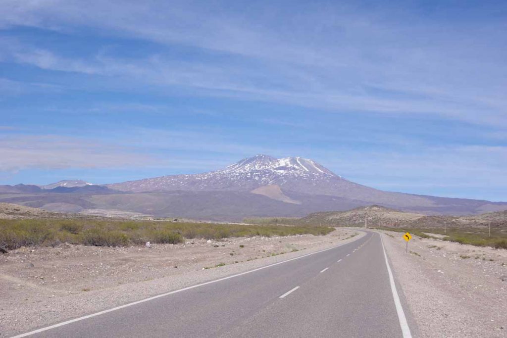
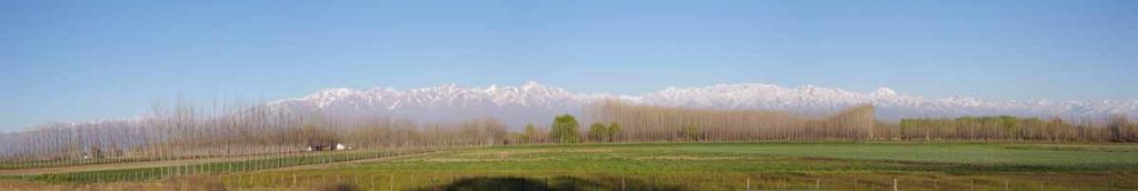
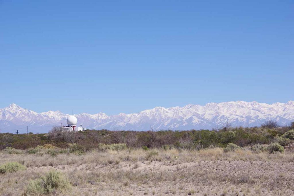
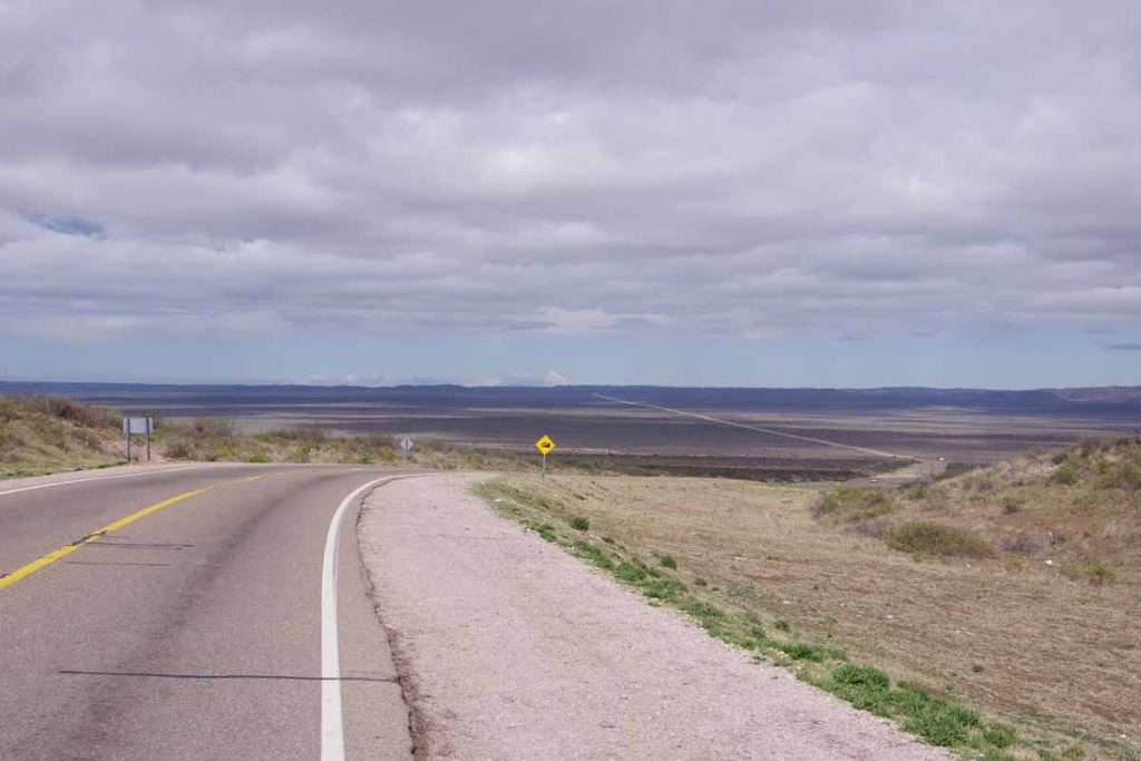
The mountains came into view and started getting closer.

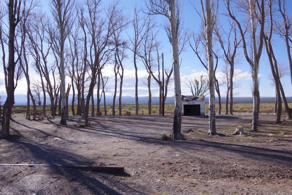
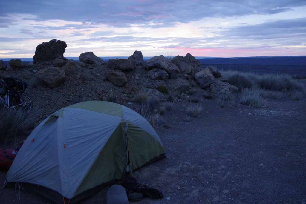
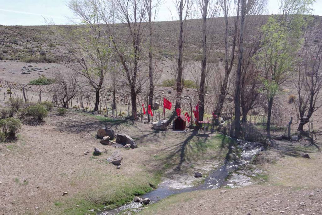
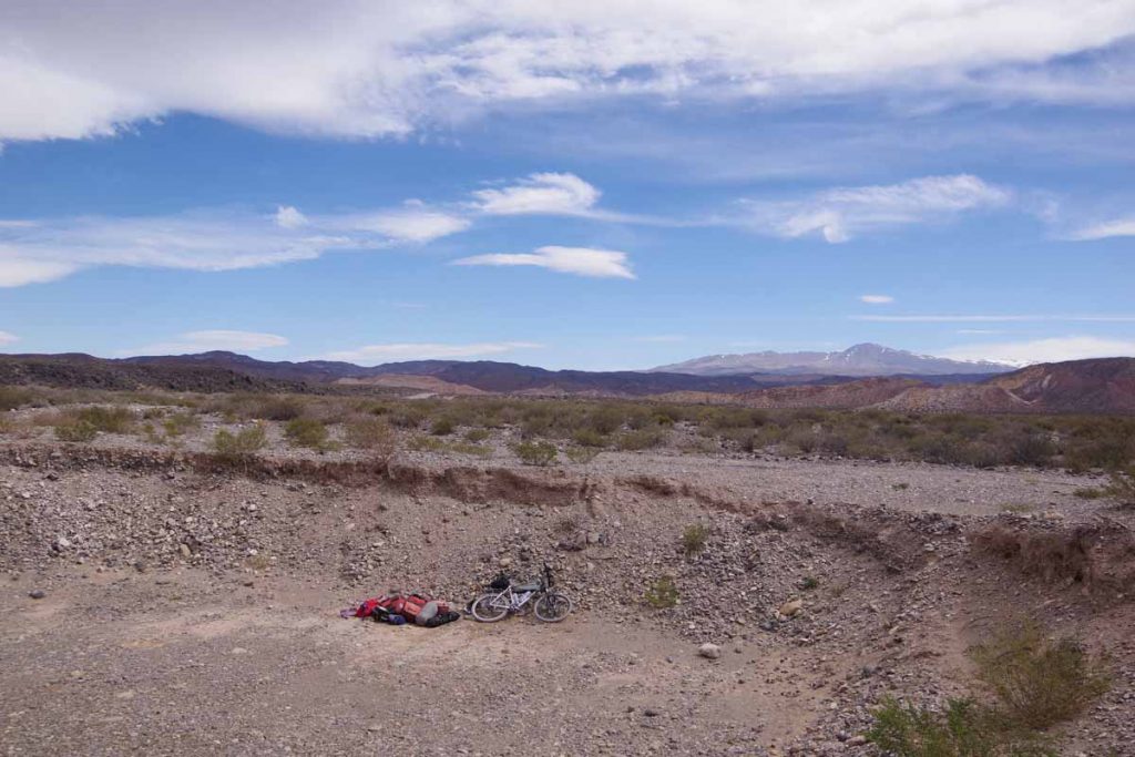
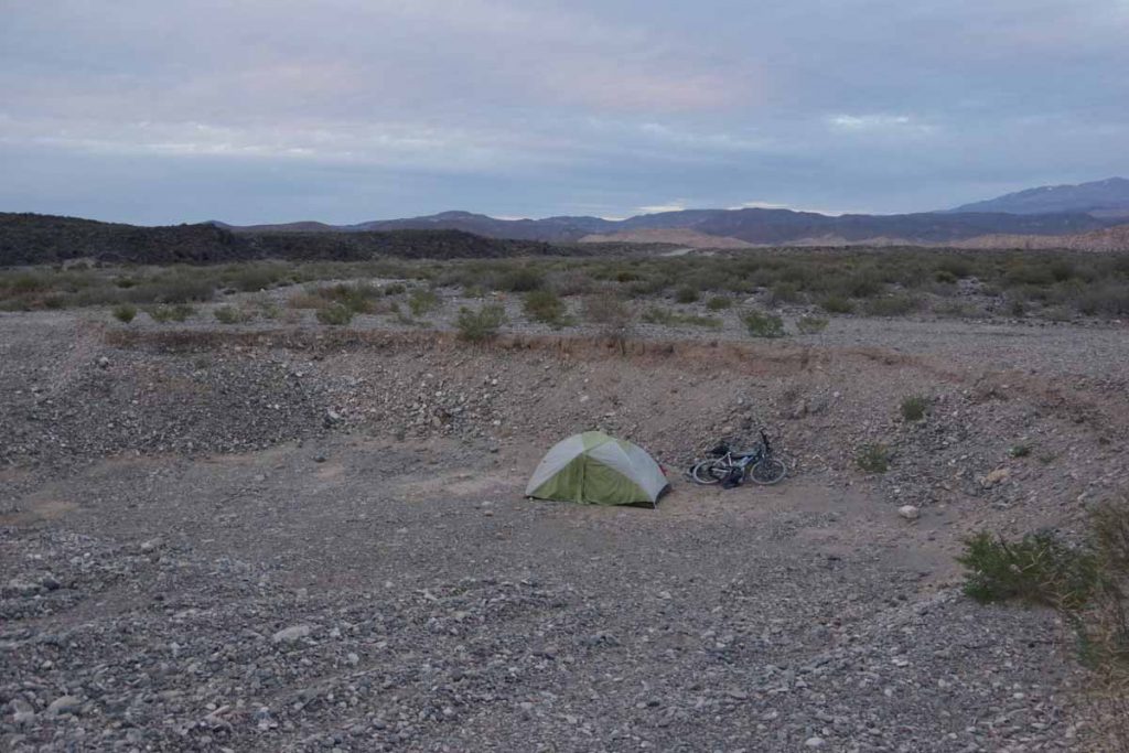
At 120 kilometers was this roadside area. The trees allowed me to get a bit further from the road to camp. While there were no services this was a nice camp site overall. I think one vehicle stayed overnight with a barking dog, but I slept well.

Day Two – Roadside Camp to Malargue
It was just below freezing in the morning but warmed quickly.

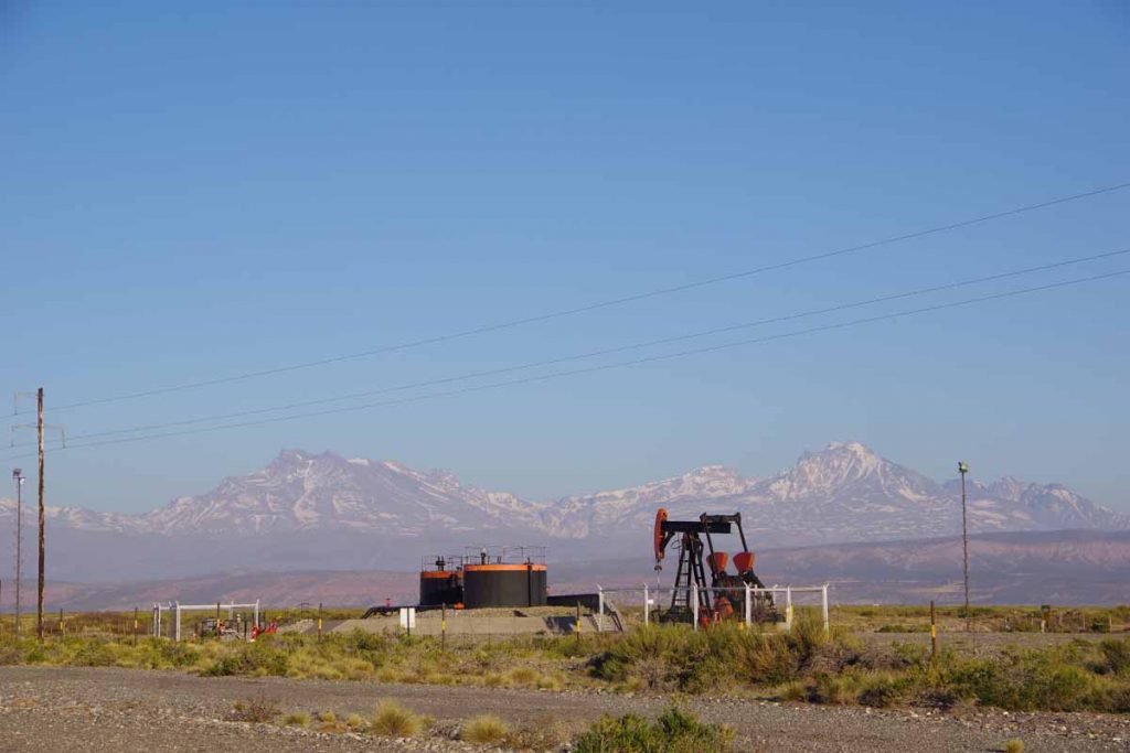
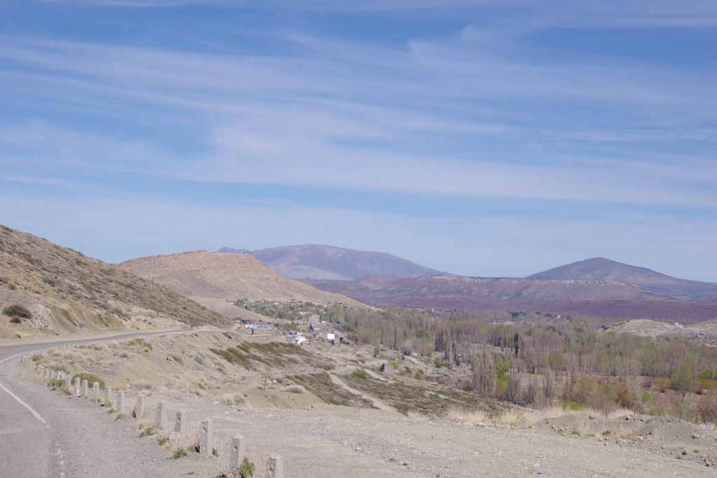
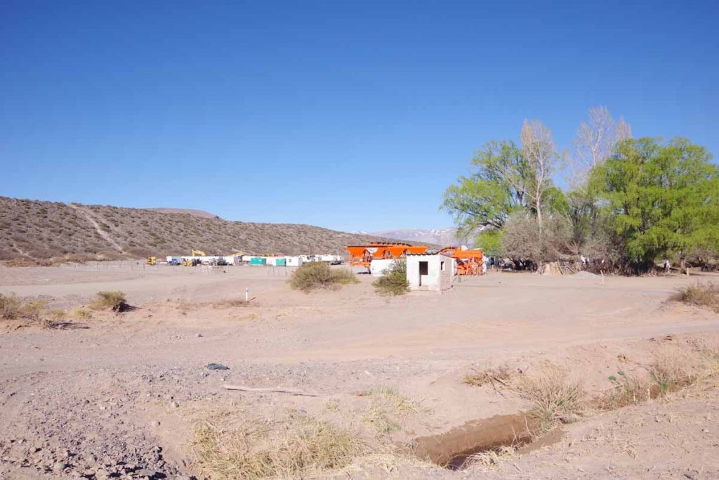
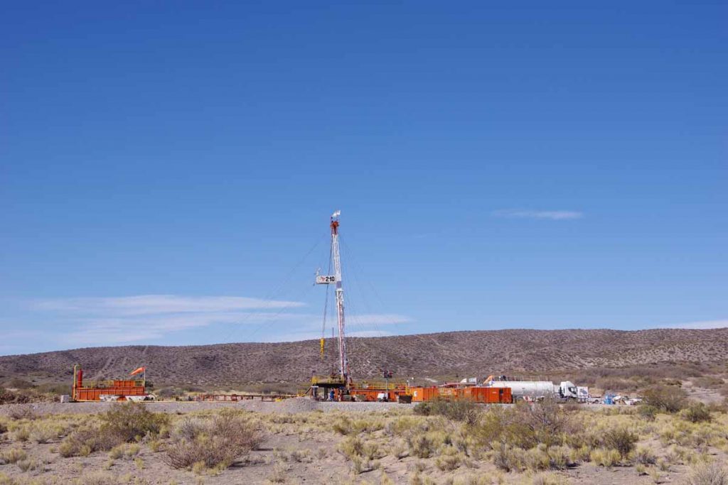
There were some oil wells along the way to El Sosneado, the first town along the way. I was at El Sosneado quickly and stopped at a minimart at 16 kilometers.

The minimart sold stickers for “Ruta 40 – 3000 kilometers”. I missed the 3000 kilometer mark, but here was 2997.

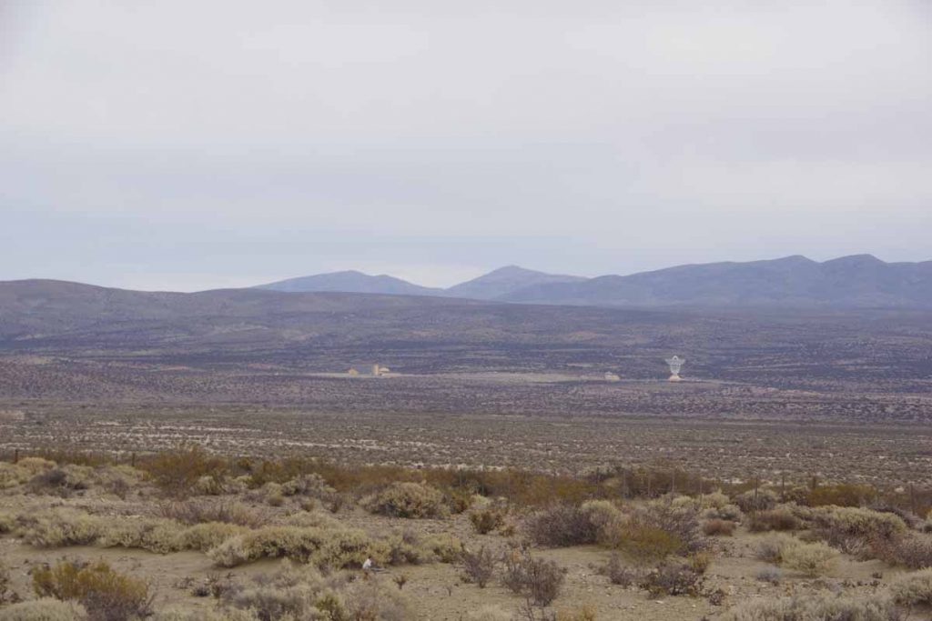
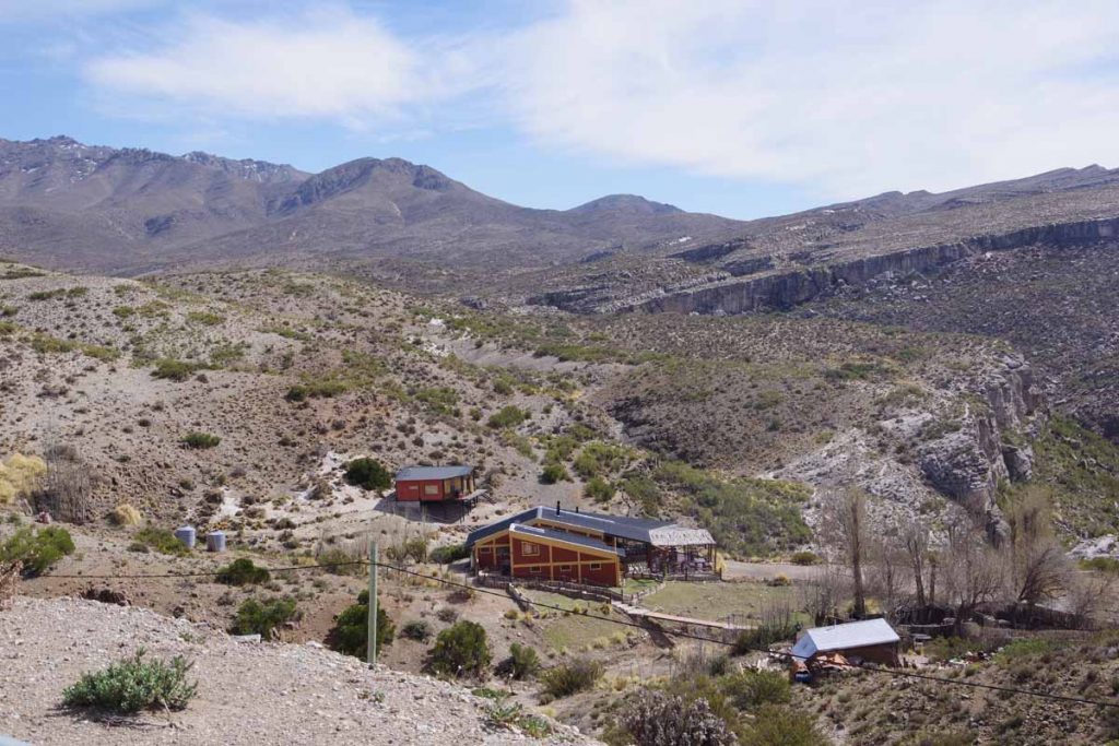
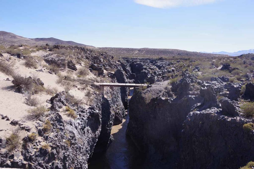
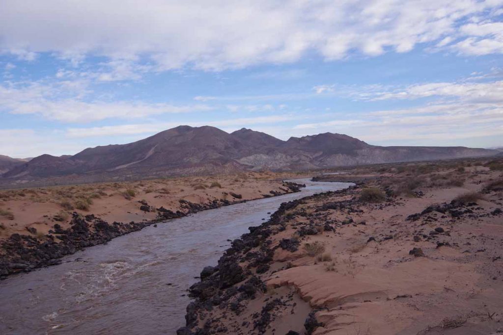
Just past El Sosneado was a river valley with two interesting points of interest. While I didn’t go up the valley (and the road would have been closed due to snow), I had read about them.

67 kilometers up this valley is an abandoned hotel and some thermal pools. It was rumored to be a hideout used by Nazis to evade capture for war crimes. Further description (in Spanish), here.

Somewhat further than the hotel and higher up is the crash site of Uruguayan Air Force Flight 571 in October 1972. I had read a book about the ordeal, “Alive, Story of the Andes Survivors” a number of years ago and just recently read it again in Mendoza. A complete description in the book, but a shortened version is the flight was carrying an Uruguayan Rugby team for competition in Santiago, Chile. Weather across the Andes was too treacherous so the plane stopped in Mendoza. When it tried again the following day, the intended flight path went first south to Malargue, then across the Andes and then north again. There was a strong westerly wind, little visibility and plane was still in the middle of the Andes when the pilot radioed intention to start the descent to Santiago. The wings hit sides of a mountain and the tail fell off, but the main fuselage stayed intact for a sliding crash landing on the snow.

Some of the 45 passengers and crew died in the crash and others in days following of their injuries. Some survived the crash but were killed in an avalanche on day 17. As the survivors realized a rescue wasn’t coming, they prepared the strongest to hike out to safety. The expoditionaries first went downhill, but in a mistaken impression they were in Chile, they turned back since it looked like this led further into the middle of the Andes. If they had continued, then in about two days they would have reached the abandoned hotel and somewhat lower the (closed) road leading down to El Sosneado. Instead, after waiting some weeks, the expeditionaries hiked up another 600 meters (2000ft) to the top of the ridge and then down that valley into Chile. It took three days to climb to the top and another week to reach civilization. Overall, more than ten weeks elapsed since the crash but this then led to the rescue of the 16 survivors.

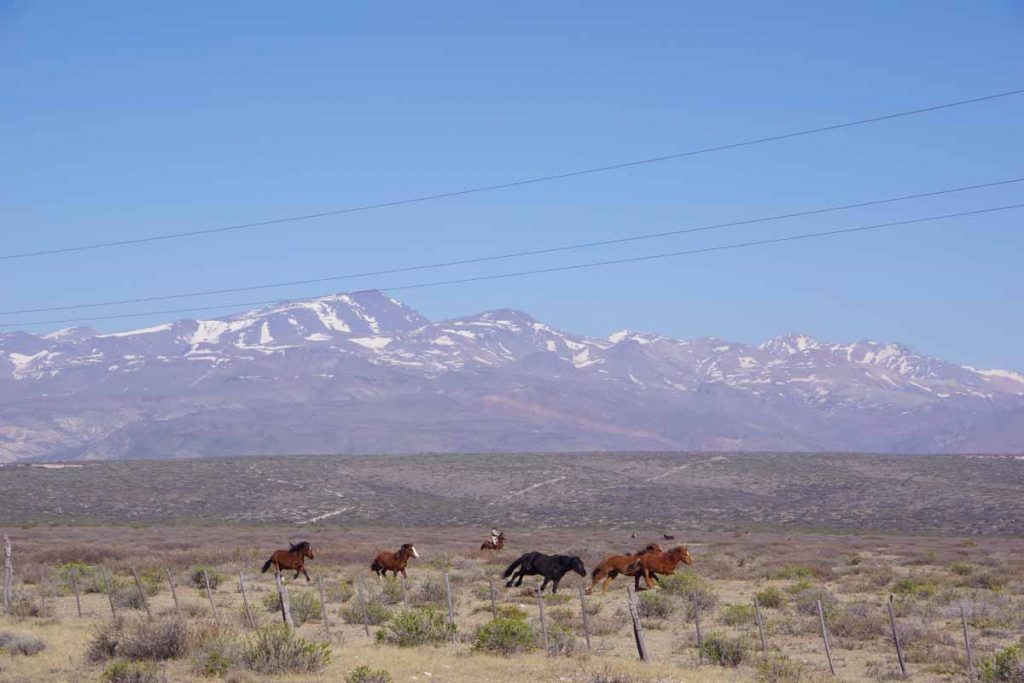
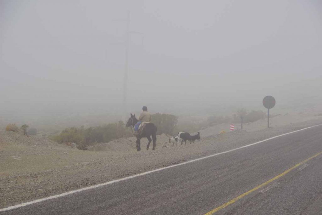
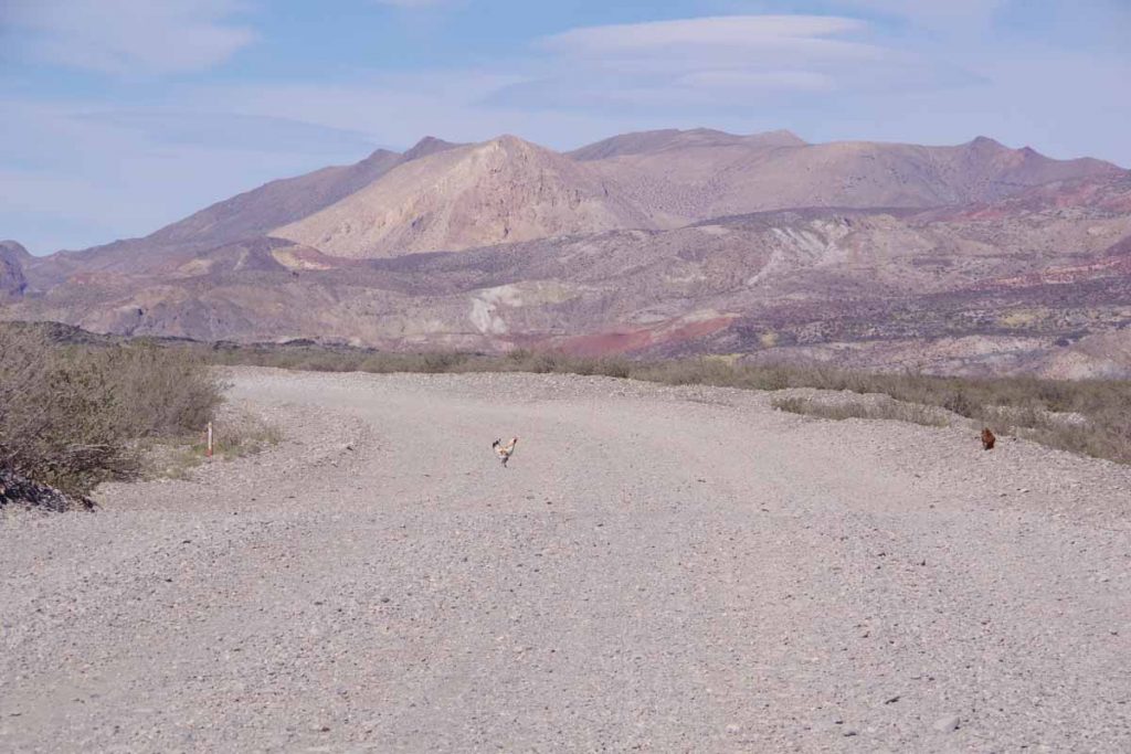
In this next stretch saw this cowboy chasing horses.

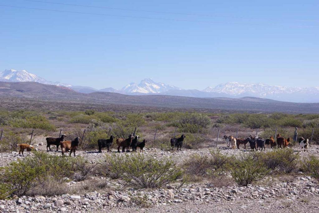
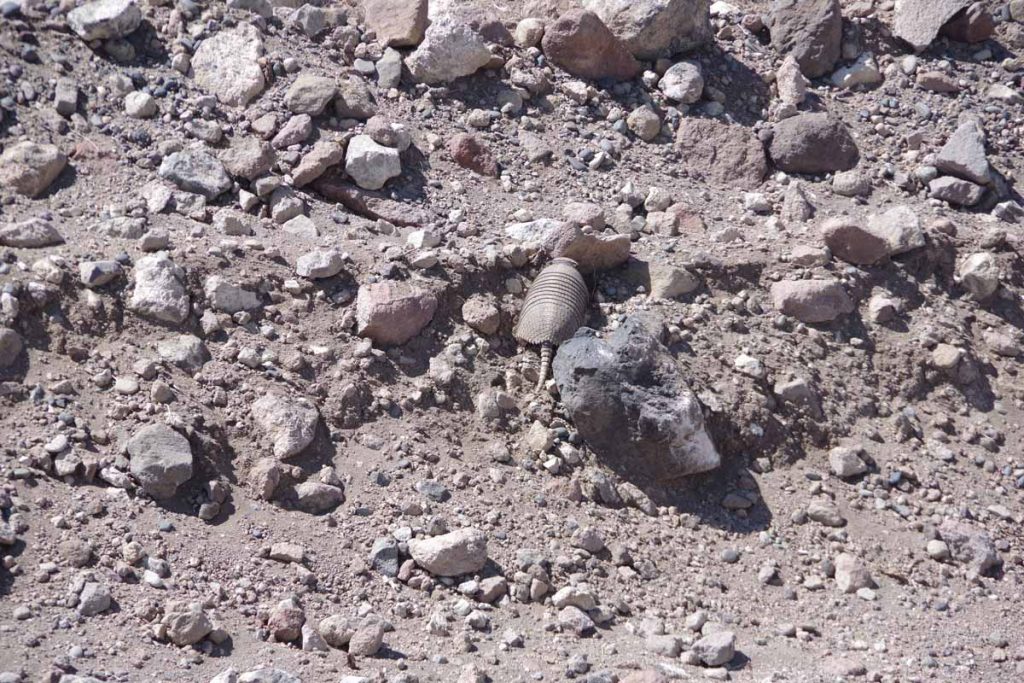
Also some goats along the way.
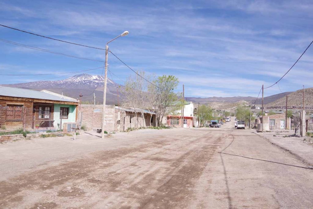
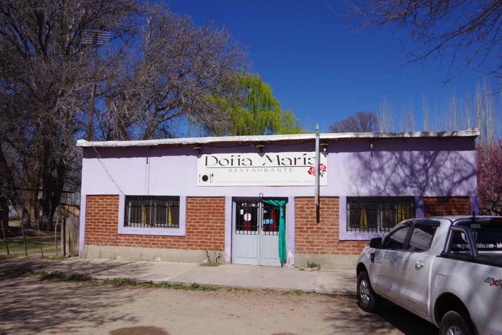
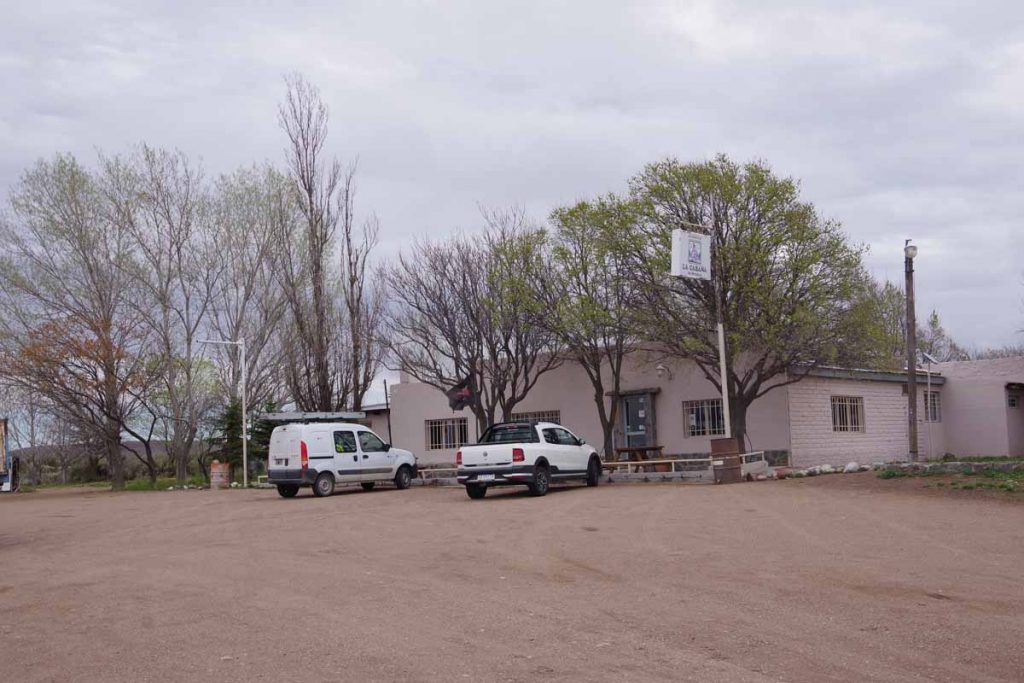
There was a turnoff to Las LeƱas, one of the largest ski areas in Argentina. Ski season ends on October 1st. I saw some ski rental places still open in Malargue, the nearest town with an airport. However, I expect tourist season is winding down and was able to find a hotel without too much difficulty.

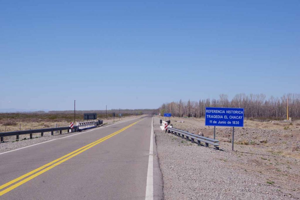
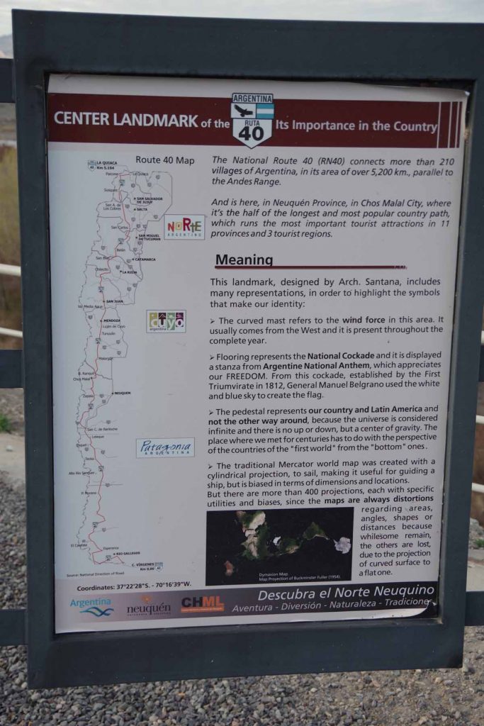
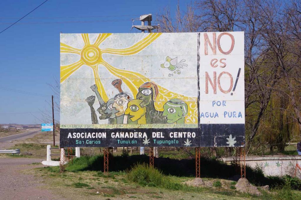
Not sure if all Argentinians know these date or if they put these signs out to get the curious like myself to look them up…

Apparently, the Tragedy of Chacay happened when Governor of Mendoza Province, as well as those in his party, were killed by local native Indians in the early history of Argentina.

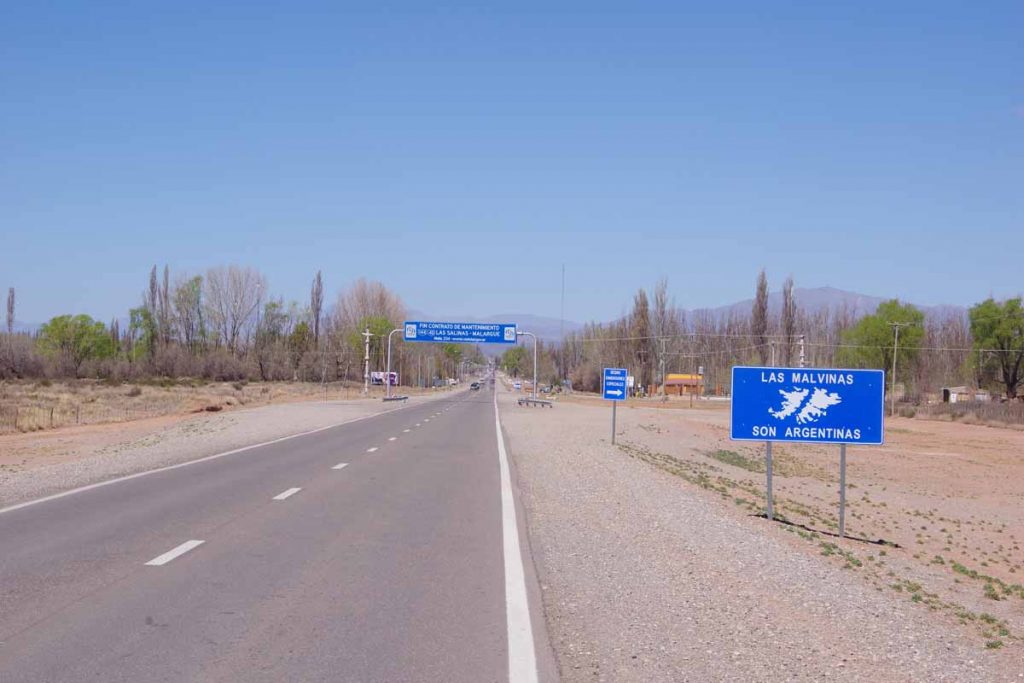
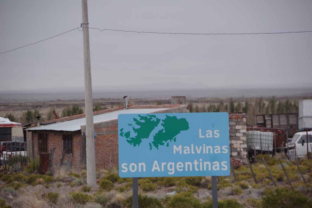
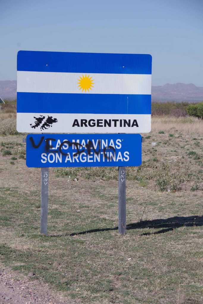
Once I got close, I saw signs for Malargue as well as another “Las Malvinas” sign.

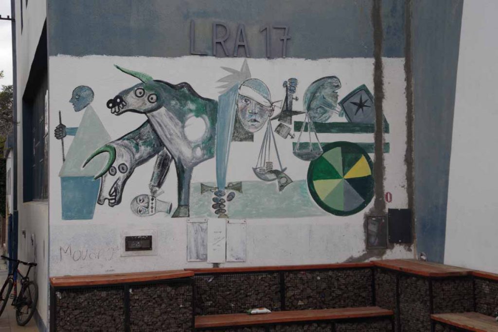
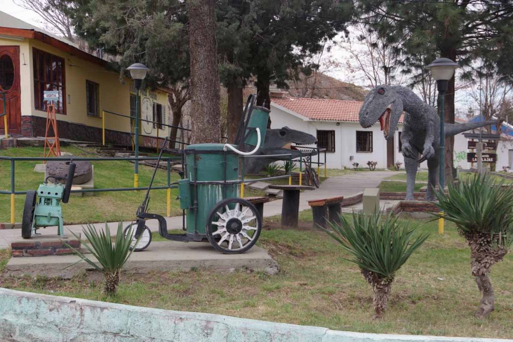
Looks like a football team, though not quite sure which players are painted here.

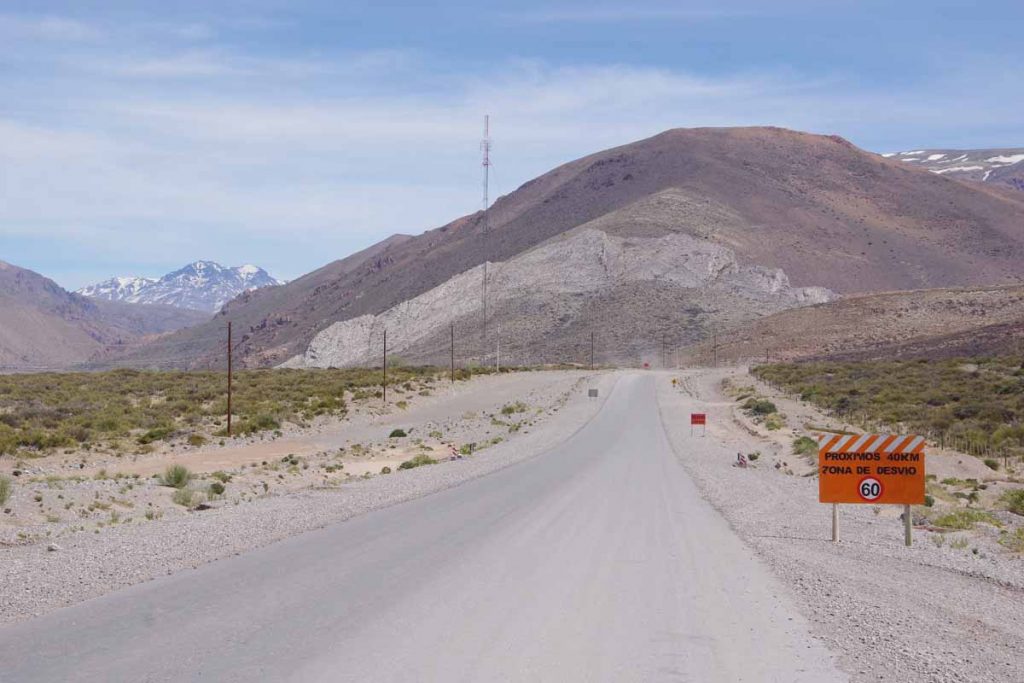
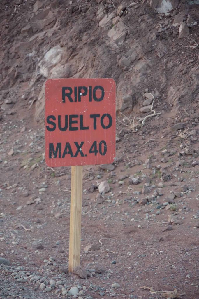
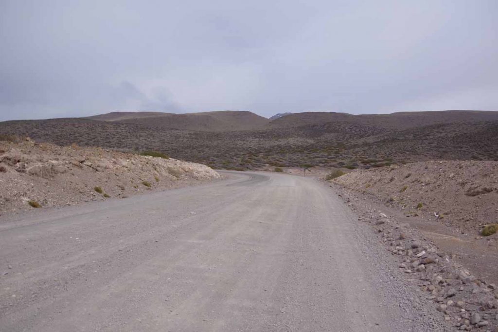
Overall an easier day today, but still decided to take a rest day here since upcoming road will become more difficult and towns with hotels further apart. Expect a few days of camping and a ~100-kilometer stretch of Ruta 40 with gravel and road construction.

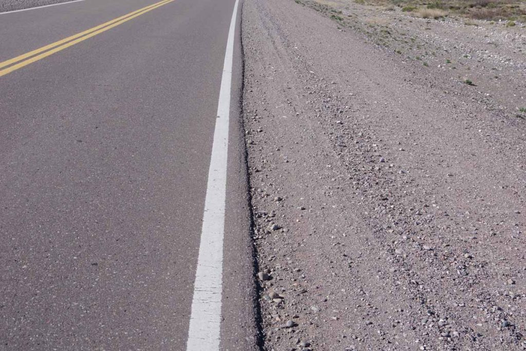
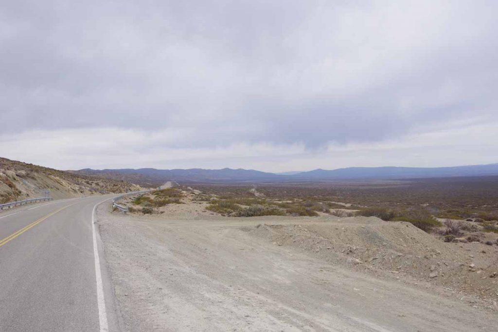
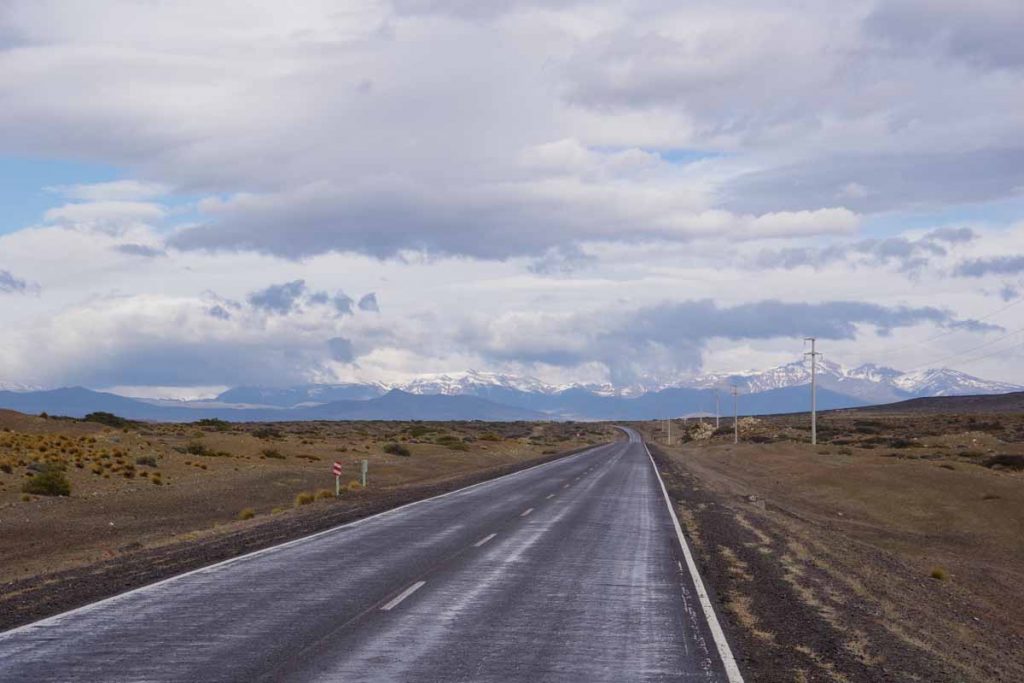
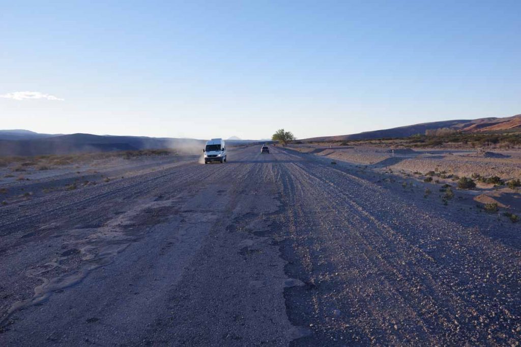
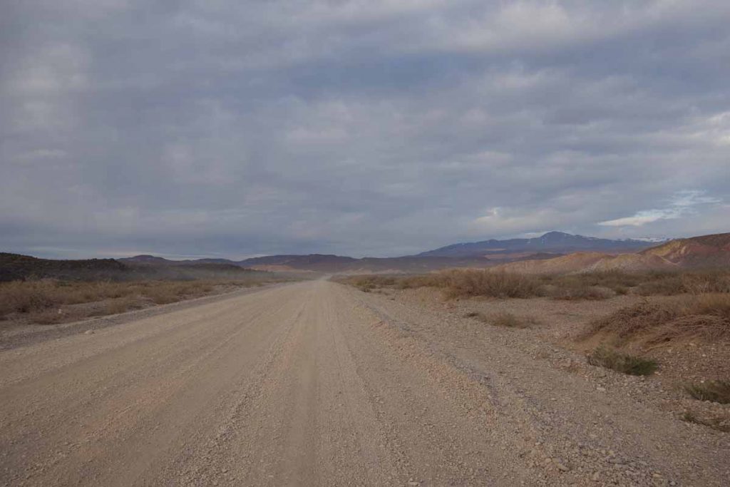
A good example of the difference between pavement and gravel I expect can be seen looking at the gravel shoulders. This will be slower cycling and after the rest day may be a several days before the next update. However, first an easy day in this tourist town near the end of the ski season.

Posted in Argentina

San Rafael

A bicycle ride across the Americas Posted on 2017-09-19 by mev2017-09-19


Two days cycling has brought me to San Rafael. With population 170,000 it is one of the larger towns I will have left from here southbound. I expected the distance of 153 kilometers to be just a bit far for one day, so expected to camp but wasn’t quite certain where when I started.
Day One – Tunuyan to Roadside Camp
Breakfast in the hotel. A nice clear morning where the first 40 kilometers were in an agricultural area along the mountains.

Great views of mountains to my right, can’t quite get enough of these snowy peaks.

Road was good even with a shoulder for most of this section.

Saw what looked like a bird nest way high up in the trees. As you can see, spring is coming and these trees are starting to blossom.

Clean pure water is a local issue that seems to be in common in a lot of the world, as are “no” statements against things that might endanger that water supply.

At 42 kilometers I came to a road junction. Ruta 40 continued straight ahead and Ruta 143 went off to San Rafael. Ruta 40 turns to gravel later and I decided to stay on pavement for a bit longer as this also would get me through more populated areas. However, just after this, the agricultural area would stop and there would be a gap of ~100 kilometers before reaching the agricultural and more populated areas near San Rafael.

There was a restaurant stop for lunch at 52 kilometers. Supposedly there was a campground not far from here. I didn’t easily see it, so decided to continue up and through the more open areas.

Looking back, I slowly left the mountains behind. The paved shoulder also disappeared. The road had gradually climbed from 900m in the morning to 1400m at the highest point at 76 kilometers. Mostly a barely 1% climb and not difficult.

At 95 kilometers I saw this roadside rest. Looked like the ideal place to camp. While the awning wasn’t really necessary, I didn’t put up my rainfly. Still heard some traffic on the nearby road through the night, but that eventually quieted down as well.

Day Two – Roadside Camp to San Rafael

Looking through the mesh of my tent, I saw a truck had parked overnight. It left just as the sun was rising. I took my time packing up and then getting back on the road.

Back to some wide open and fairly desolate looking areas again.

About 22 kilometers down the road, saw another of these shelter areas. Looks like something built a bit more officially.

At 42 kilometers I came to the entrance signs for San Rafael. This was once again agricultural along the way. Two interesting signs followed.

The first, “Las Malvinas Son Argentinas” as well as the little outline on the map, reiterate that Las Malvinas (Falkland Islands) belong to Argentina.

The second gave a distance to Puerto Argentino. I looked up “Puerto Argentino” and learned that this is the capital of the Falklands. It was established by the British and named Port Stanley. As a British town, it didn’t have an Argentinian name, but the Spanish translation of “Puerto Stanley” is not liked by those advocating Argentinian sovereignty since it refers to a British politician. Hence, “Puerto Argentino” is the name adopted by Argentina since their short-lived occupation in 1982. None of the locals use this name though.

While this is a “as the crow flies” distance out to sea, nice to see Puerto Argentino is also closer than Lima (2660 kilometers) and the as the crow flies distance to Ushuaia (2248 kilometers) is not much further. Meanwhile, Deadhorse Alaska is a long ways away (13,260 kilometers).

It was still 15 kilometers into center of town and there was a bike path for much of this distance. I am sometimes wary of such paths since they aren’t always continuous and can have more hazards so I’ll check out what the locals are doing. Most seemed to be cycling on this path and it turned out to be a reasonable ride.

There is a nice town square and I found a hotel not too far away. While it was mid-afternoon, the siesta isn’t quite as strict here as further north as I was able to find a restaurant that was open.

From here, it will be diagonally back to the mountains and town of Malargue, a ride I expect to take two long days with a roadside camp in between. After that, reports of road construction and rougher roads, so expect a bit tougher gap after Malargue.

Posted in Argentina

Tunuyan

A bicycle ride across the Americas Posted on 2017-09-17 by mev2017-09-17

On the road again! First day cycling south from Mendoza.

Today I followed the mountains south. It was a quiet Sunday morning as I left Mendoza.

Mendoza metropolitan area has a population of a million and there was a local freeway through town. It was quiet as I came past the giraffe at 5km, much quieter than when I had entered the city on a Monday afternoon rush hour.

Without much trouble, I was on Ruta 40 heading southbound. This was a major freeway until the very end of the day. On two occasions I saw a “no bicycling” sign, but I also saw half a dozen local cyclists. There were also shoulders which made it an easier ride than coming into Mendoza from the north.

Vineyards with mountains behind.

Crossing a small bridge, I saw signs for a cafe. It turned out to be this place and it wasn’t open. I did however, stop briefly at the YPF gas station at 25 kilometers. These seem to have good wifi as well as a small shop/cafe.

Looks like an air traffic radar signal, but not 100% certain. By now there were occasional fields but also larger areas of scrub.

Without too much trouble, made it to Tunuyan. The main street was boarded up, both in the siesta time window and because it is Sunday. However, I was able to find an open cafe a few doors down as well as small kiosk store to get a few things for tomorrow. There will be another small town and a gas station followed by a long gap before I get to San Rafael.

As an interesting comparison, ten years ago today we arrived in Vladivostok after cycling from Amsterdam. The total distance should be close to my distance from Cartagena to Ushuaia.

Posted in Argentina

Mendoza, departure eve

A bicycle ride across the Americas Posted on 2017-09-16 by mev2017-09-16

Back in Mendoza after a nice visit to Colorado.

I swapped in a new front tire and went for a test ride. All seems well. Nice to have a new tire, two new spares, a new mirror, new gloves and a new Camelbak. After almost three weeks off the bike, it will be nice to ride again.

Monday is Chilean Independence Day. The agreement that I had with the hotel was two nights reservation in return for their keeping my stuff while I was gone. This way they don’t as easily get stuck with an empty room that Chileans might otherwise rent for a long weekend in Mendoza. If there had been a window of good weather followed by worse weather, e.g. wind/rain coming, then I might have gone early but forecasts look good for a while and I have some time, so one day in Mendoza to put everything in place for departure.

Plans can always adjust but following is the rough idea for the next nine weeks until I need to be in Puerto Montt (purple pin) to meet TDA:

  1. Start cycling from Mendoza (red pin) to Bariloche (yellow pin) (AB). Distance is slightly less than 1500km and looks to be mostly paved. Towns are found along the way, but it will be mostly two-day gaps between towns.
  2. At the two-week point, end of September, make a rough decision between “ferry” or “school” and make appropriate reservations:
    • Ferry: After Bariloche, another 1600+ kilometers to Puerto Natales (green pin) along Ruta 40 (BD). A little tougher than before but should still be possible in the time I have. At Puerto Natales, a car ferry leaves once a week and takes four days to go to Puerto Montt (purple pin).
    • School: In Bariloche, there are two Spanish language schools. One looks interesting and also has a homestay option with a local family. Sign up for appropriate number of weeks depending on my Bariloche arrival dates and then the week before TDA arrives, cycle over to Puerto Montt (BC).

From Puerto Montt, TDA takes 29 days to get to Ushuaia including 16 cycling + 6 rest days to Puerto Natales and 6 cycling + 1 rest day to Ushuaia. So if I do cycle to Puerto Natales on the Argentina side, then I will see bits of Patagonia from multiple angles. First two weeks of cycling before I get too far ahead of myself.

Posted in Argentina, Planning

Colorado visit

A bicycle ride across the Americas Posted on 2017-09-13 by mev2017-09-13


My short visit to the US is drawing to a close and tomorrow the plan is to fly back to Mendoza and continue my ride.

It was a short visit but I got the major items accomplished. I had ordered bike tires, brake pads and a new rotor via Amazon so will return with spare parts I need. At the same time, decided to replace a few worn items. After 14 months my bike gloves were developing holes and my Camelbak had ripped and been very worn so both were replaced.

I also got a few things in anticipation of the TDA ride. In particular rather than having four separate panniers, a tent, a sleeping bag all as separate items, TDA requests participants to use two 90L duffel bags, so I got those but now will need to carry them with me. I also expect somewhat wetter and colder weather so I left behind a pair of shorts instead have two pairs of long cycling tights.

I hadn’t been using my stove much, so I brought it back as well as my extra sleeping bag. Overall a productive exercise to get everything renewed and updated in anticipation of cycling the last 1/3 of South America.

Meanwhile, it was also a good opportunity to catch up with a few people as well as on my duplex in Fort Collins. Also a nice to visit with my parents and brother.

Lions!

Tigers!

Bears! (Oh my).

We visited the Wild Animal Sanctuary in nearby Keensburg, Colorado. This is a somewhat unique type of rescue that gets large animals that are often in some horrific conditions and might otherwise be destroyed. What is unique is most of these animals have never been truly “wild” and hence could not just be re-released.

As a good example, the Bolivian government passed a law banning the use of lions by circuses. The rescue group ADI stepped in to save 25 animals that would otherwise have been killed. These animals were flown to Denver and ended up at a specially built lion enclosure at the sanctuary.

Some of the rescue animals haven’t seen environments other than small enclosures and haven’t been well socialized. The Wildlife Sanctuary works to gradually introduce them to successively larger enclosures along with other animals of the same species.

There is an elevated walkway that goes for a mile and a half where one can observe and spot some of the animals. Apparently these animals are much less stressed by something in the sky than lots of people peering in at ground level. I captured photos above. In some enclosures, we didn’t see anything if the animals were in underground dens or away from view. Overall an interesting place to visit. By the way, the Wildlife Sanctuary doesn’t have any outside funding and thus works entirely from private donations.

Otherwise nice to take a break in Colorado and get ready to return to Argentina.

Posted in Colorado, USA

Post navigation

← Older posts
Newer posts →
©2025 - A bicycle ride across the Americas - Weaver Xtreme Theme
↑