↓
 

A bicycle ride across the Americas

from Deadhorse (SCC) to Ushuaia (USH)

  • Home
  • Plan
  • Blog
  • Photos
  • FAQ
    • Why?
    • Where?
    • What next?
  • Map
  • Equipment
  • Calendar
  • Countries
    • USA
      • Alaska
      • Montana
      • Wyoming
      • Colorado
      • New Mexico
      • Arizona
      • California
      • Texas
    • Canada
    • Mexico
    • Guatemala
    • Honduras
    • Nicaragua
    • Costa Rica
    • Panama
    • Colombia
    • Ecuador
    • Peru
    • Bolivia
    • Chile
    • Argentina
  • Weather
  • Links
  • Contact
Home→Categories Argentina - Page 3 << 1 2 3 4 5 >>

Category Archives: Argentina

Post navigation

← Older posts
Newer posts →

Buta Ranquil

A bicycle ride across the Americas Posted on 2017-09-26 by mev2017-09-26

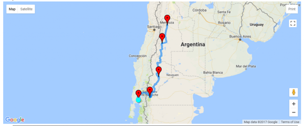
Four days cycling from Malargue have brought me to Neuquen Province, the first in the Patagonia region. Cycling was through dry areas, with some rough roads and not many towns.

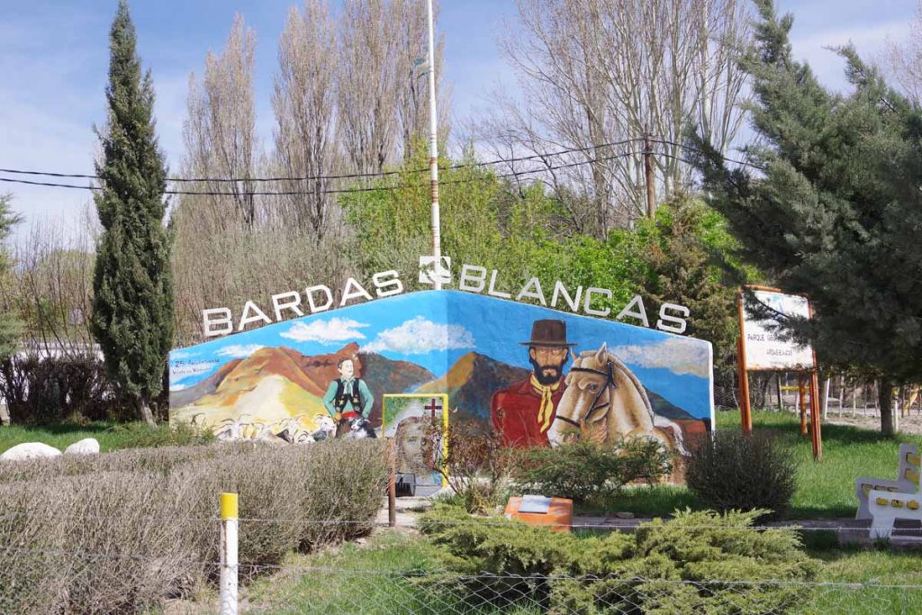
Day One – Malargue to Bardas Blancas

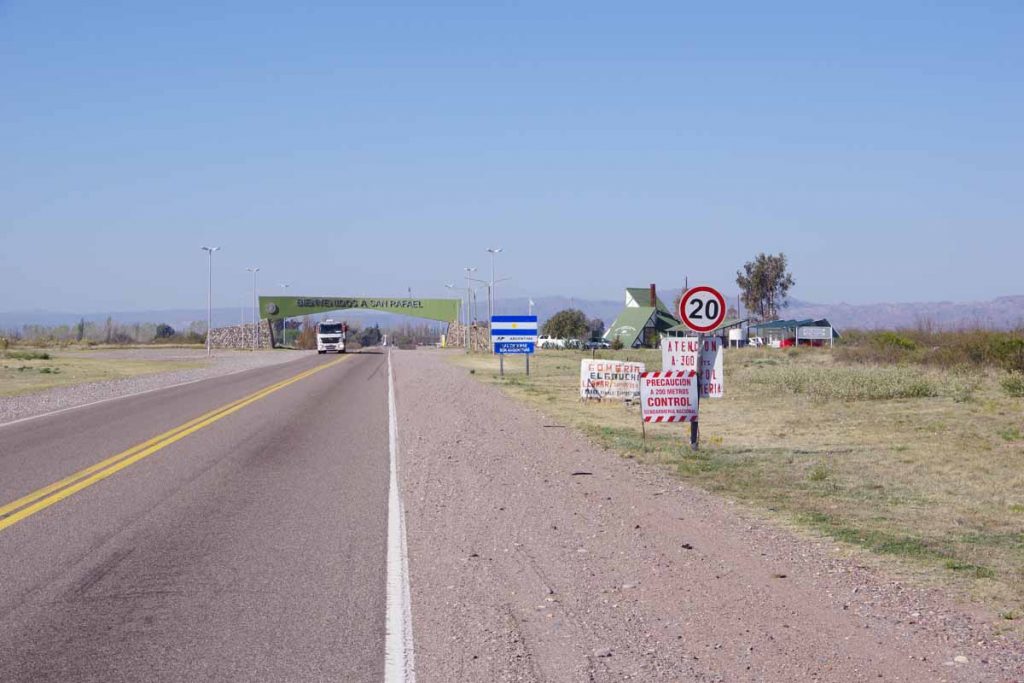
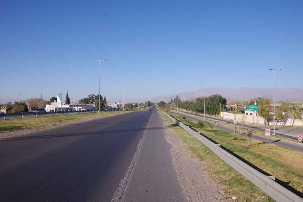
Relaxing rest day yesterday in Malargue. Today was an easier ride over the hill and down to the Rio Grande town of Bardas Blancas.

Above was the clock in the middle of town. Off to one side was a large Vea grocery store. It was cool but not cold as I cycled out of town.

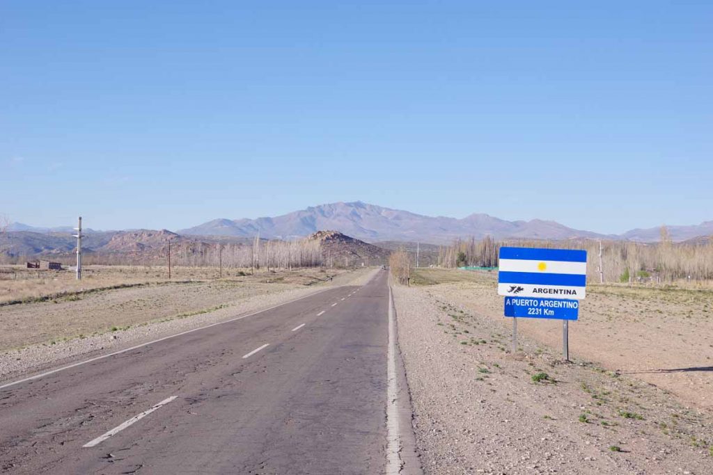
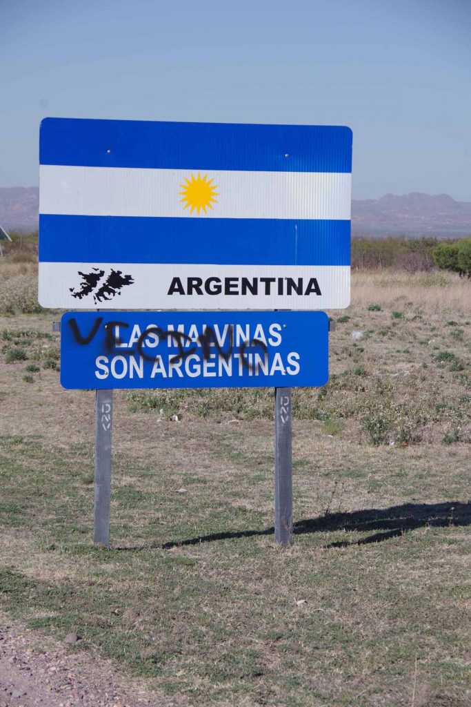
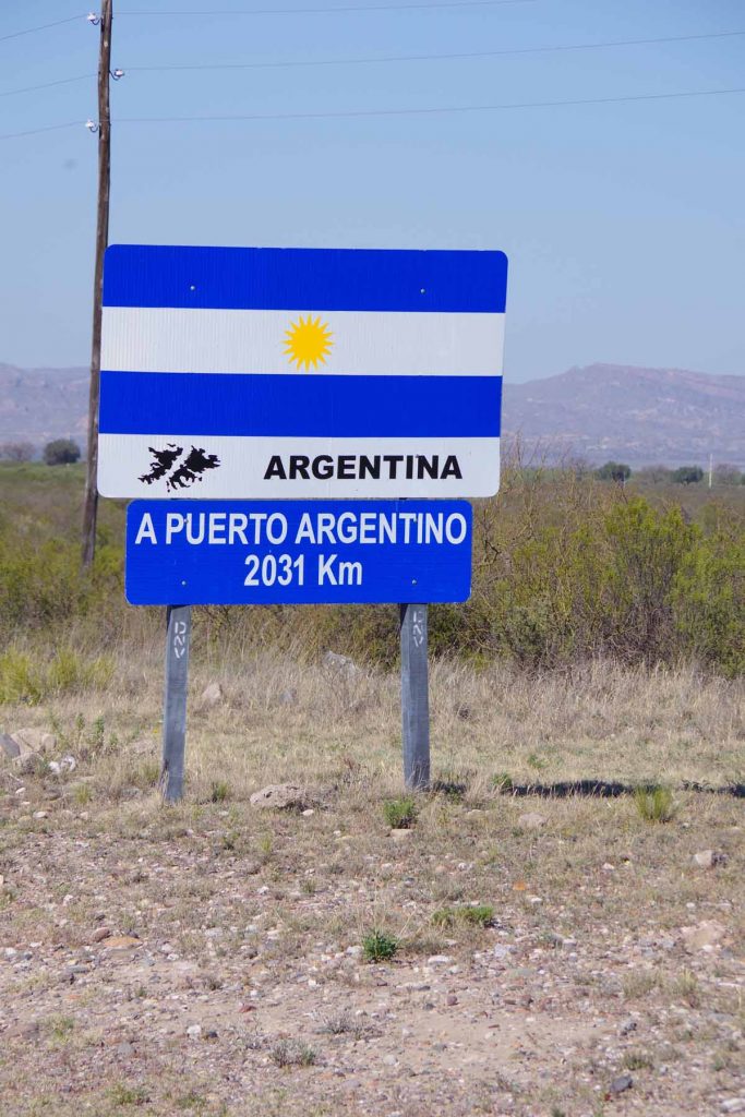
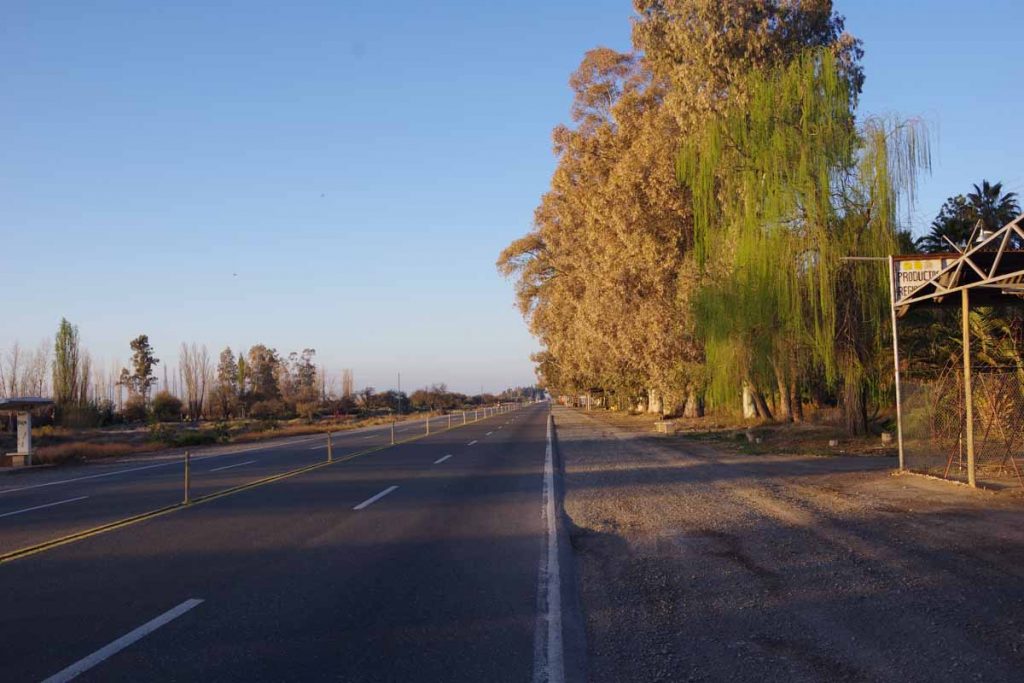
On the way out of town was another sign to Puerto Argentino (Port Stanley). The asphalt was rough here but was better later.

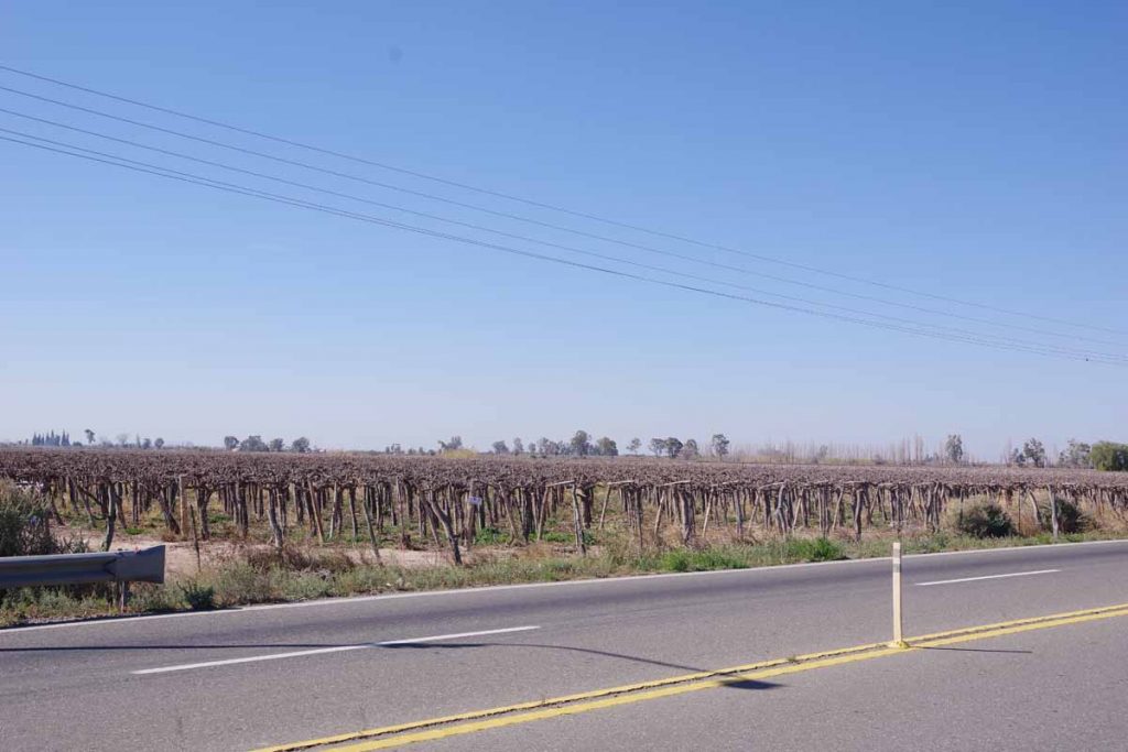
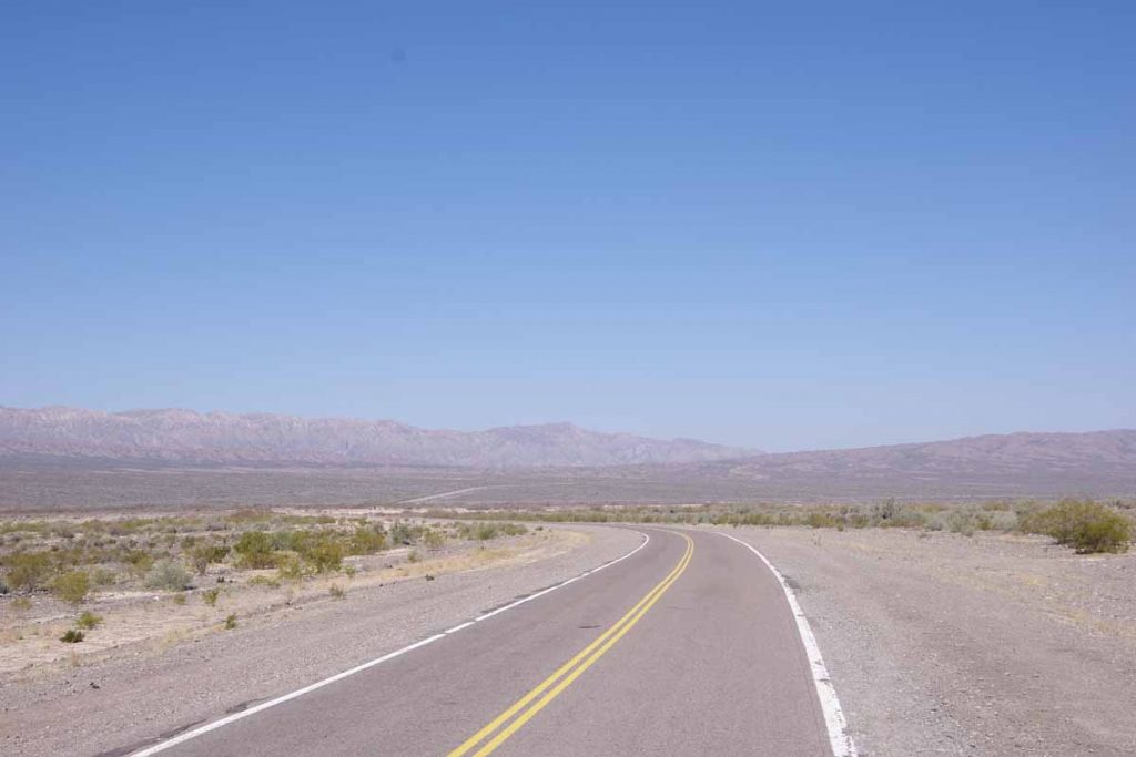
Wide open spaces. This area continues to be dry with only low scrub brushes.

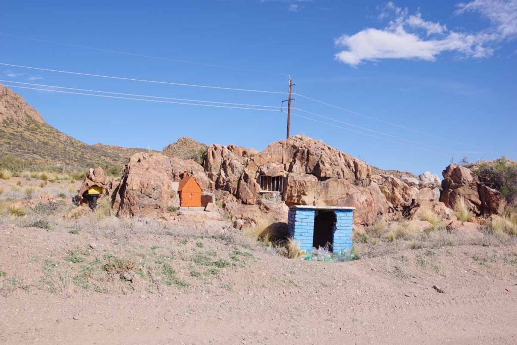
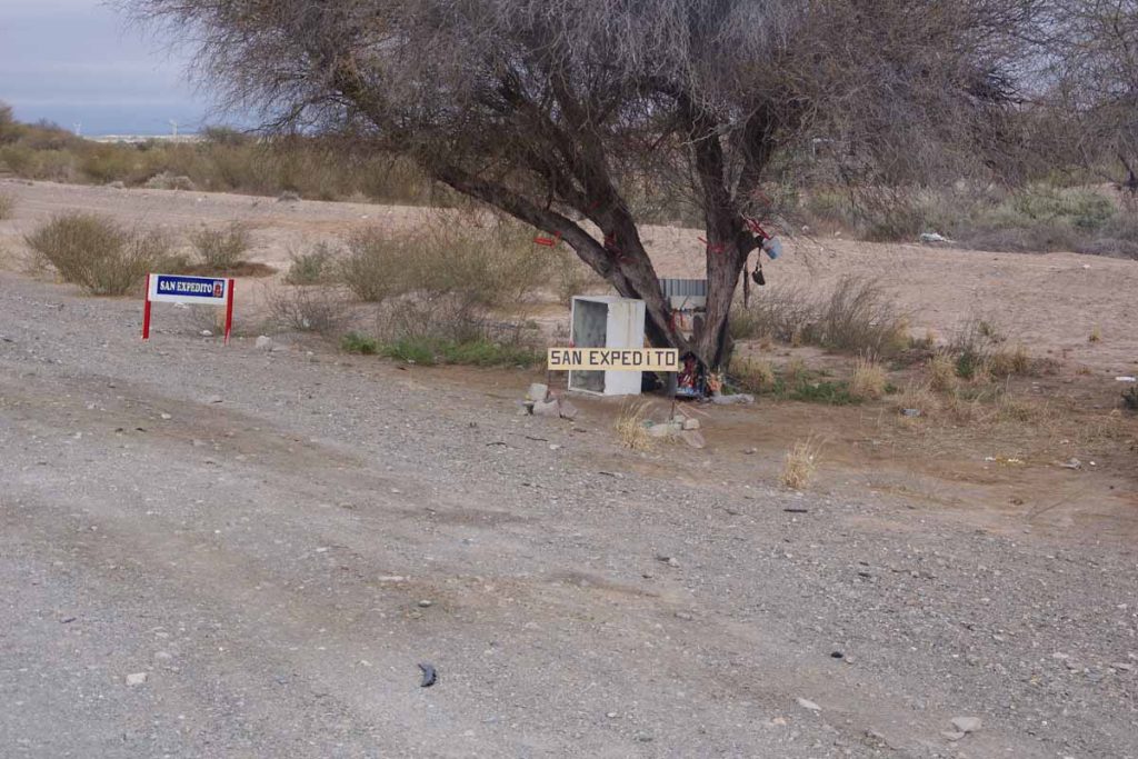
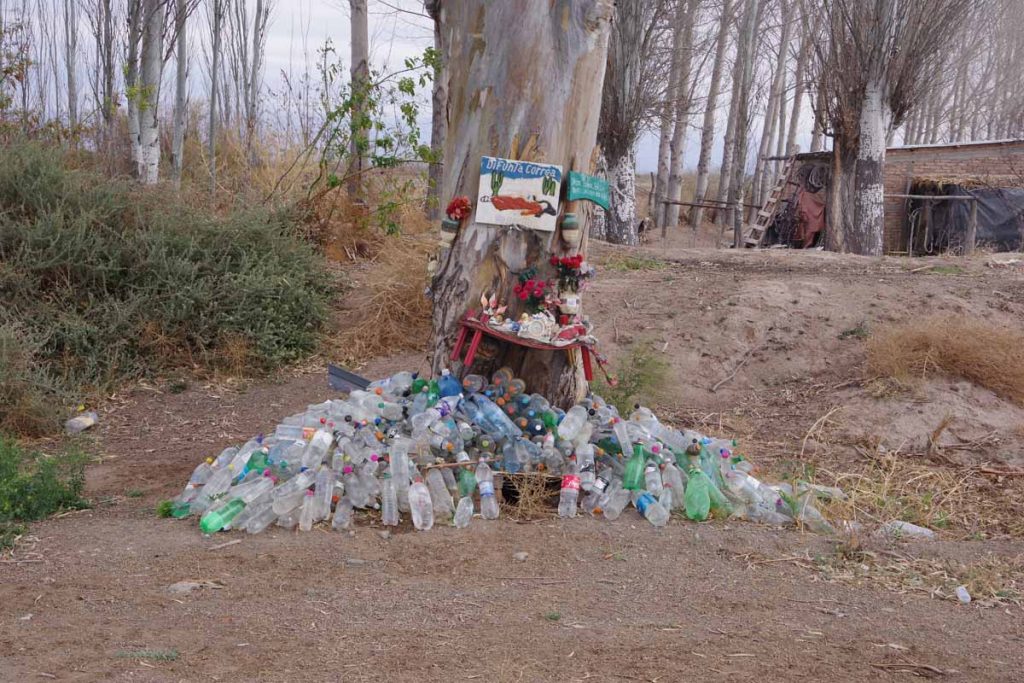
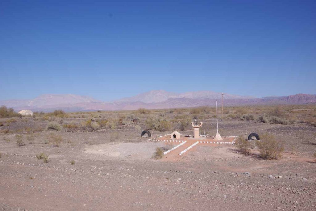
Still small shrines, though they seem to use the rocks more.

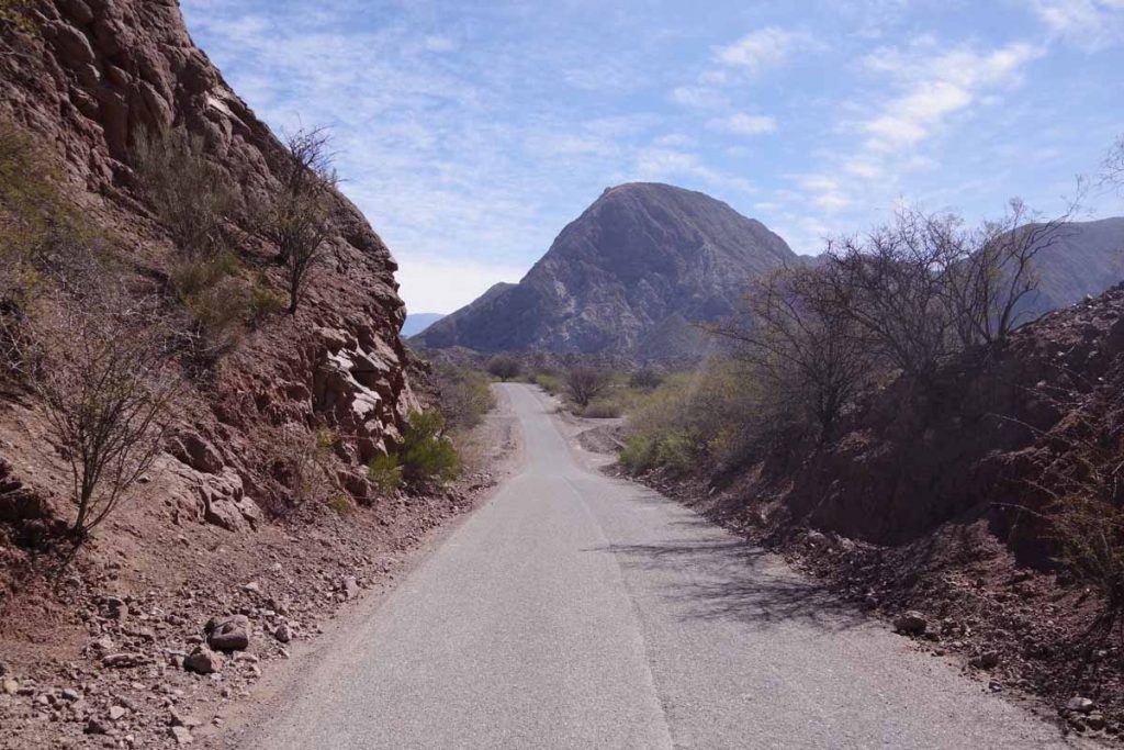
Getting close to the top of the hill with rock outcroppings.

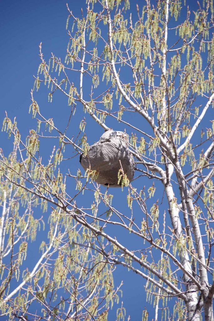
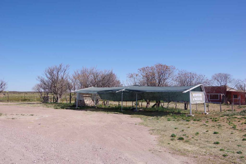
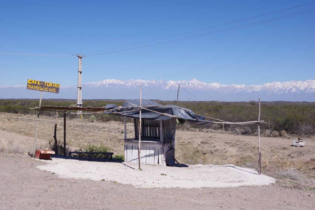
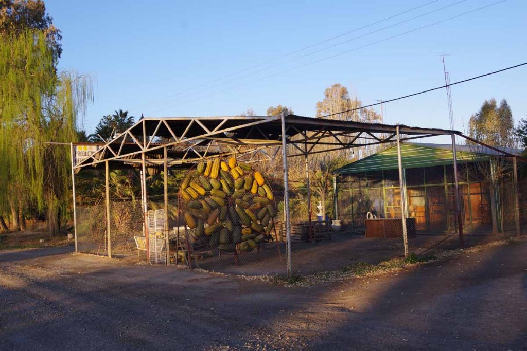
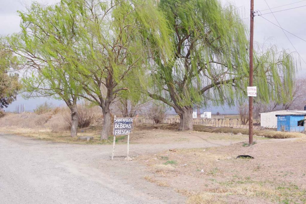
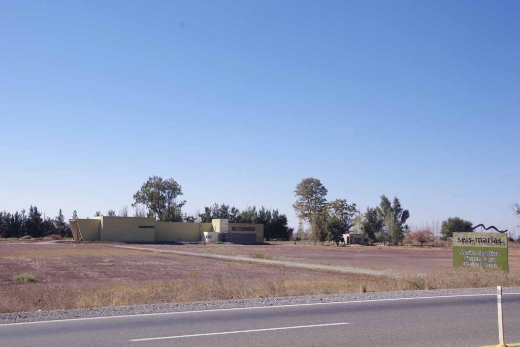
There was a sign for a business that looked promising.

Unfortunately, it was down below and off the road.

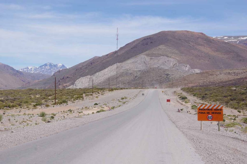
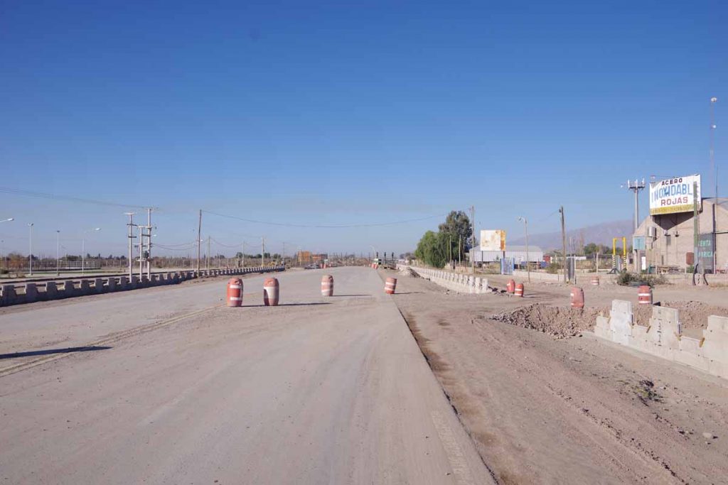
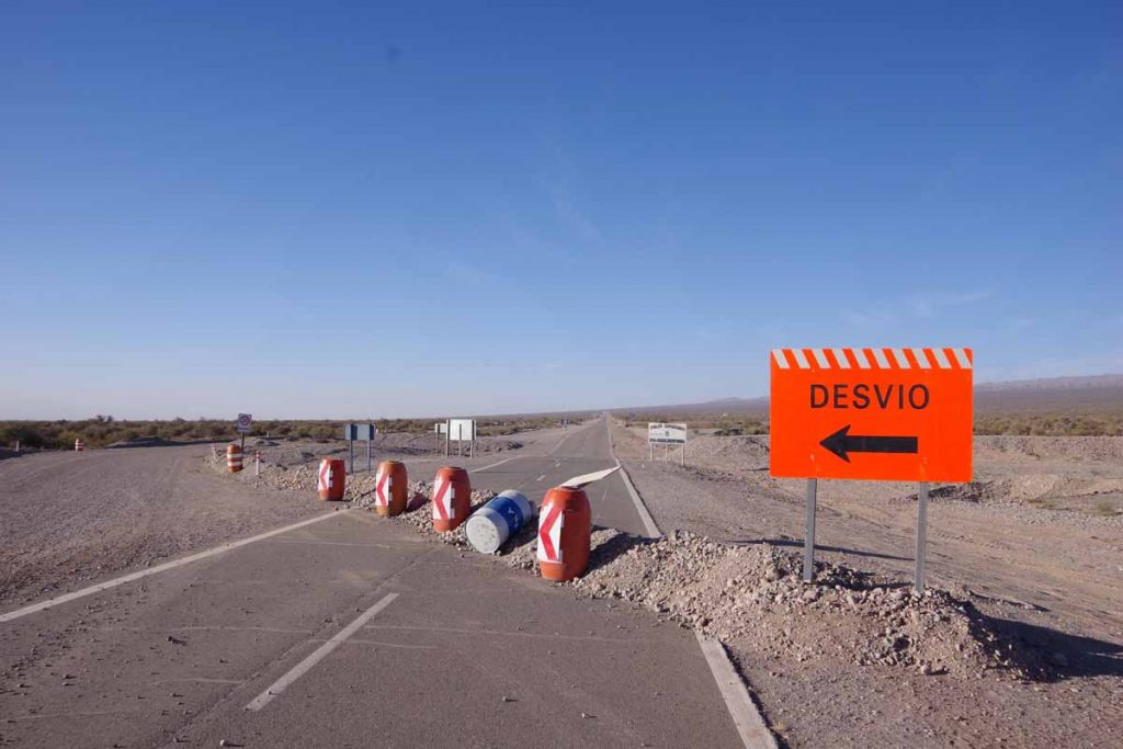
As I got closer to Bardas Blancas, the first signs for road construction followed by several kilometers of gravel road.

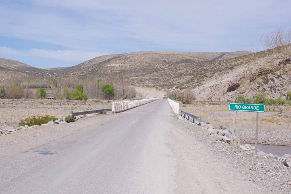
Rio Grande River. Plan is to follow this valley for the next day.

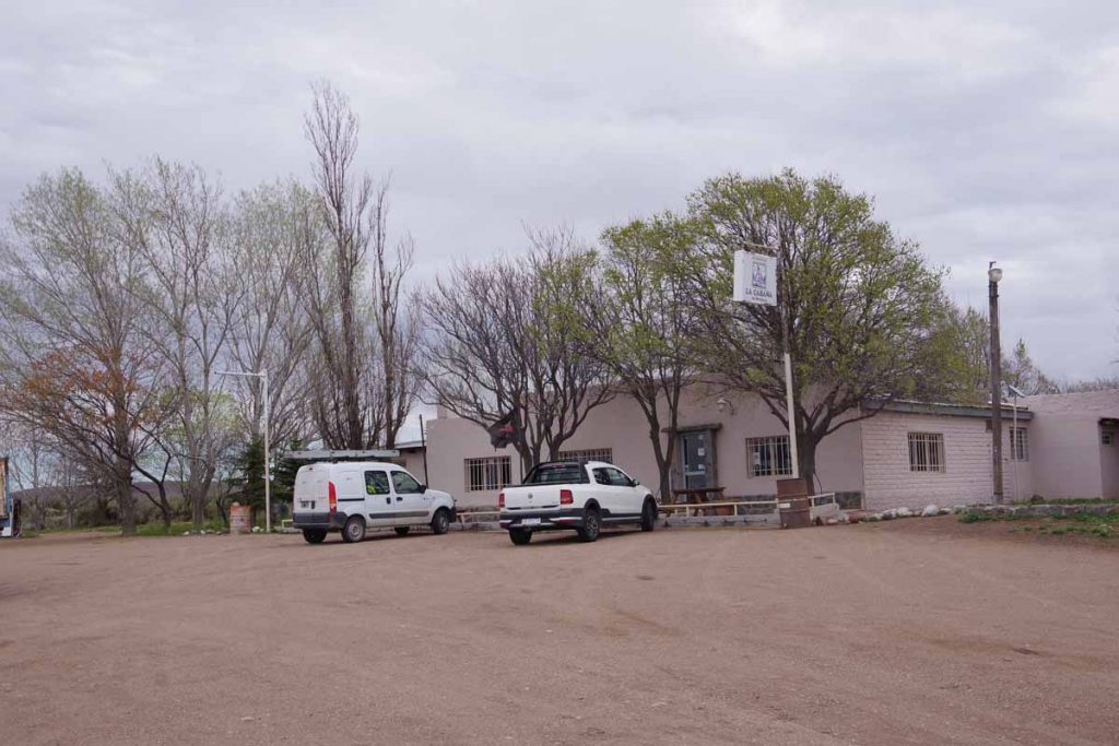
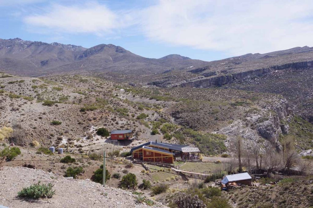
Bardas Blancas was small village whose population is ~50 people. There was a small hostel here with an inexpensive room. Had a nice big lunch that ended up being as expensive as the room. Otherwise a relaxing afternoon in anticipation of a tougher ride.

Day Two – Bardas Blancas to a gravel pit

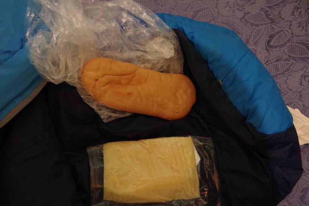
Breakfast was bread and cheese. Somehow the cheese reminds me of geology: (1) the cheese starts similar to igneous rock from a mold (2) I purchased it in sedimentary rock mode, when it has been sliced and then layered (3) after a day or so in the panniers it looks more like metamorphic rock and has been transformed by heat and pressure.

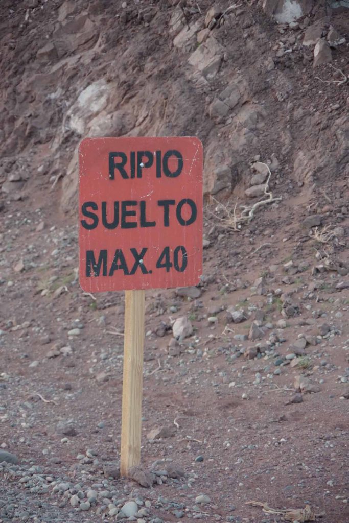
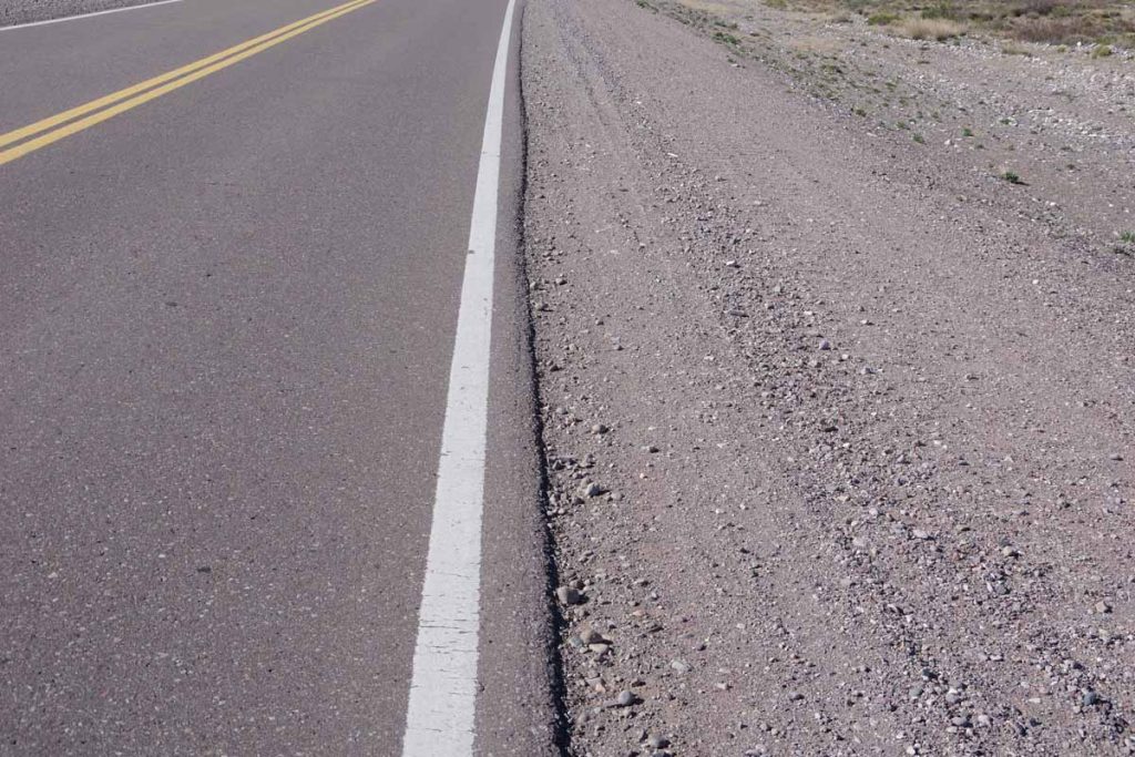
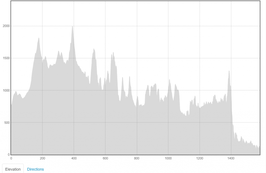
There were three main sections of road today: ~30 kilometers of mixed gravel and pavement – followed by 26 kilometers of asphalt – followed by the start of a 50 kilometer gravel stretch.

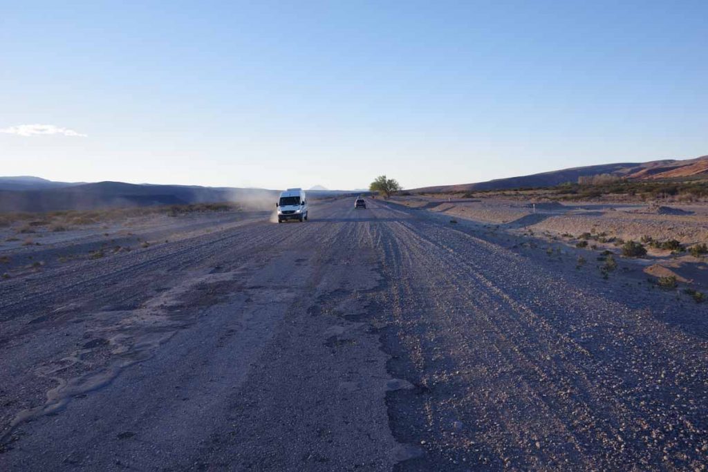
Good example of the first intermittent section with gravel and asphalt. Overall this wasn’t too difficult to ride and certainly easier than later.

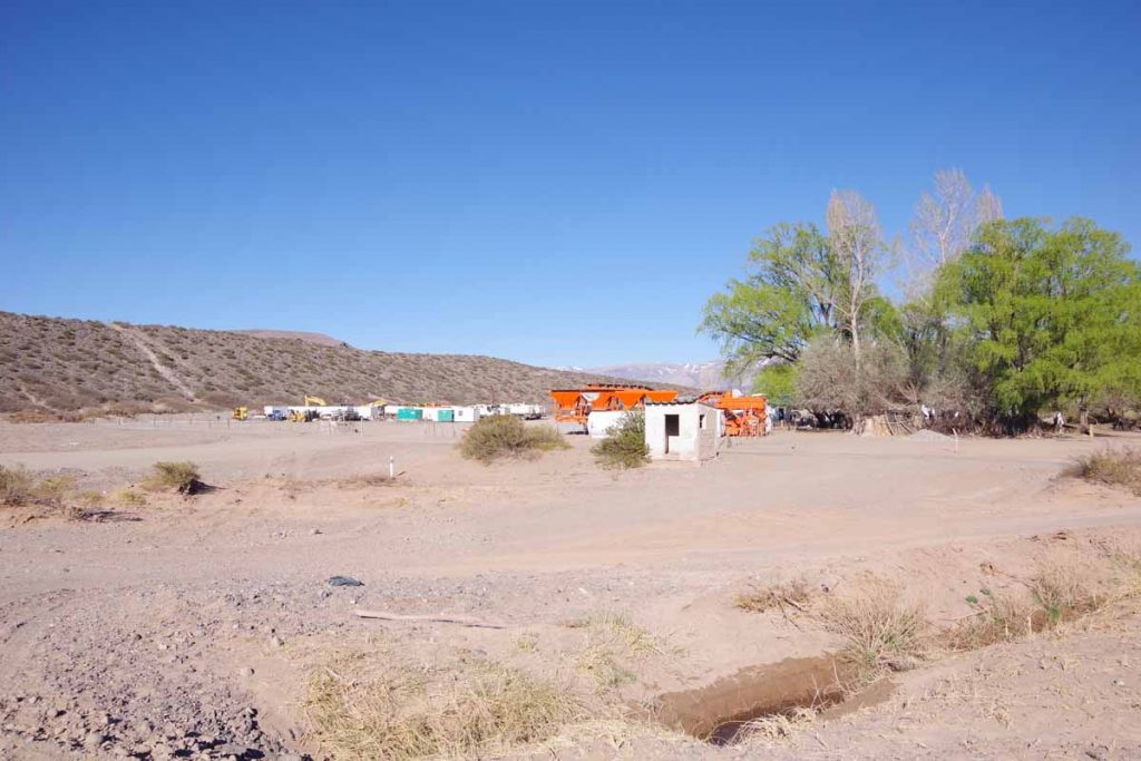
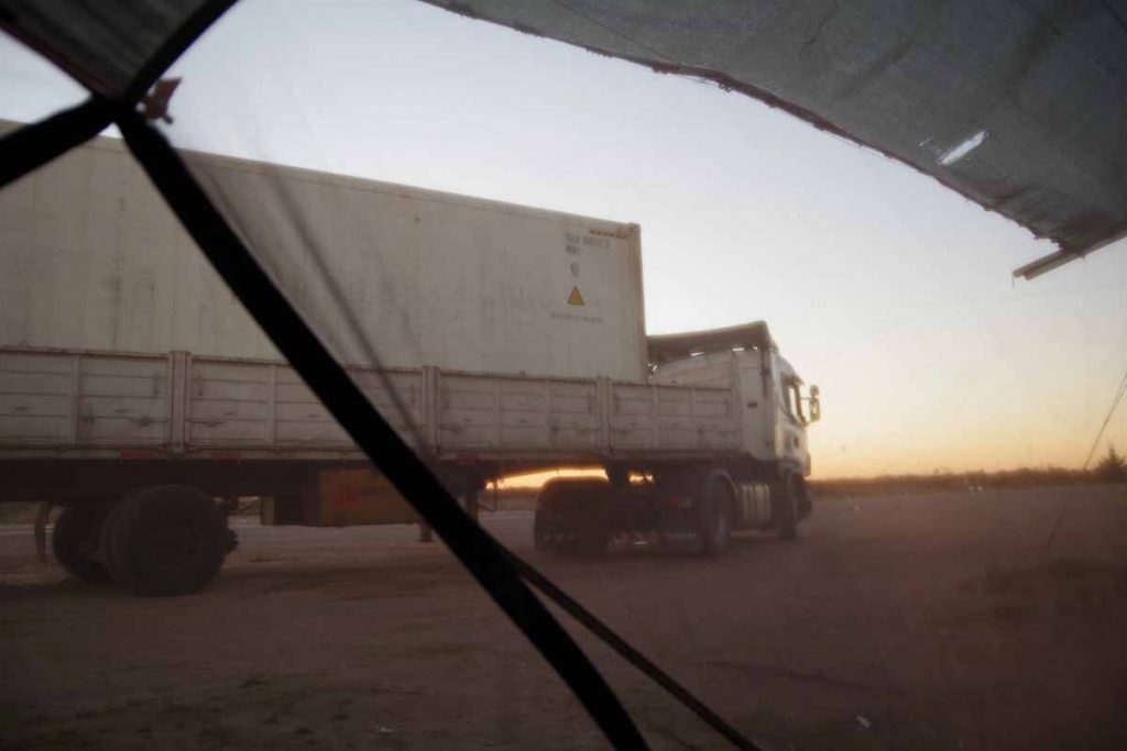
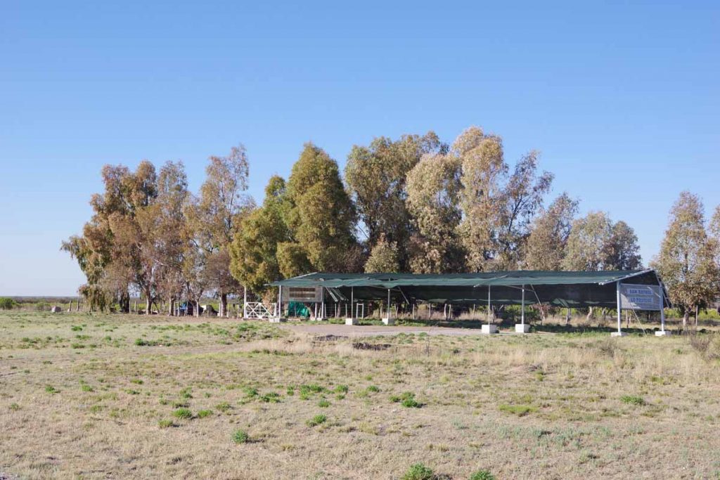
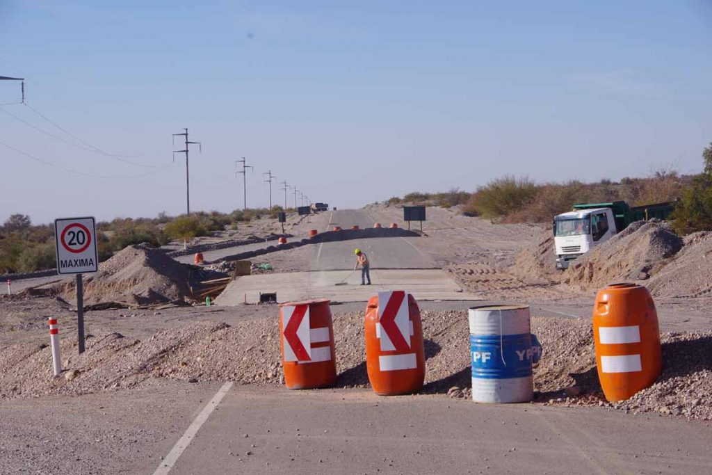
There were a few “construction” signs but not much actual examples of the road under construction. There was this work camp, but unlike Bolivia where they were working everywhere on the road even on a Sunday, there were far fewer signs of any construction at all.
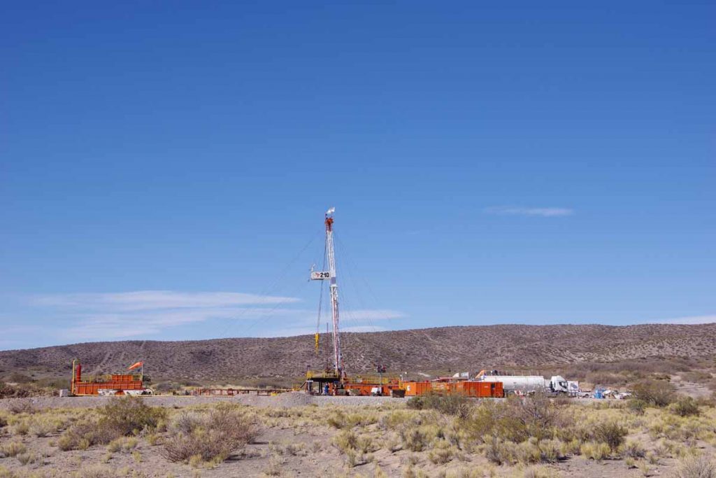
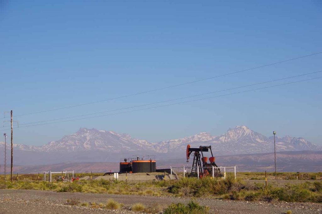
Well number 210

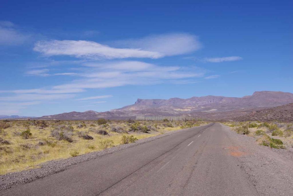
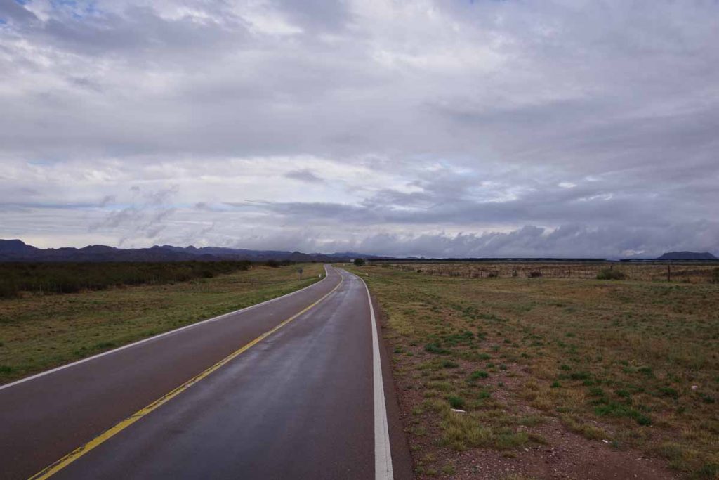
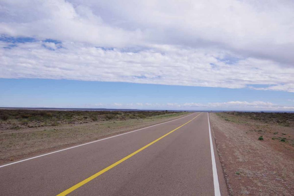
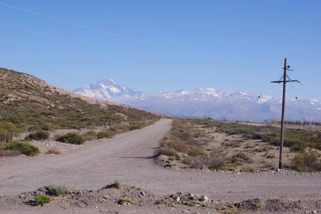
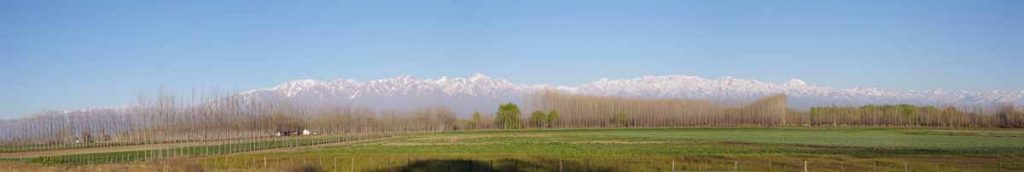
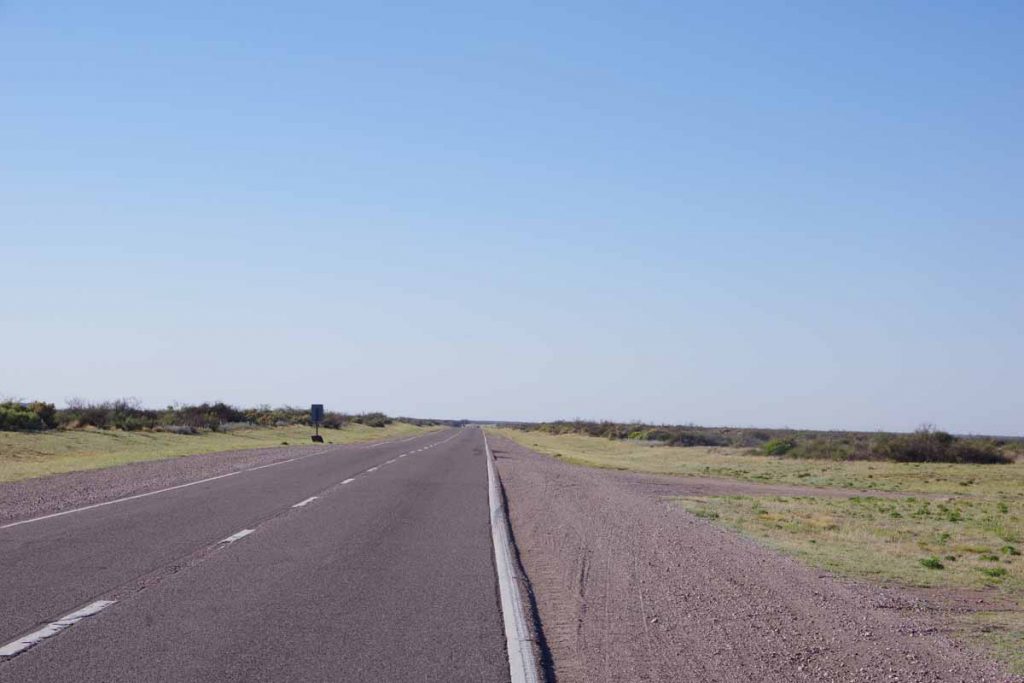
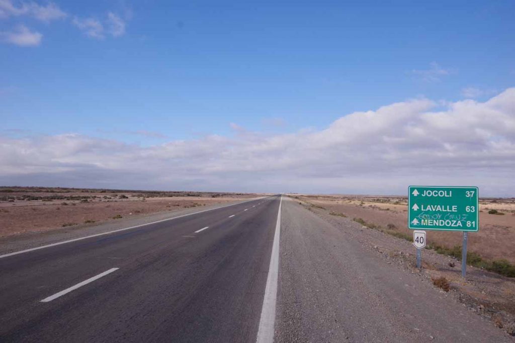
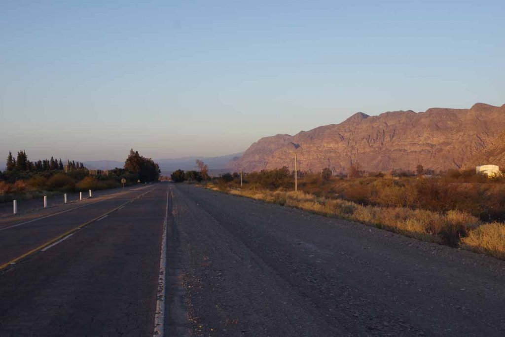
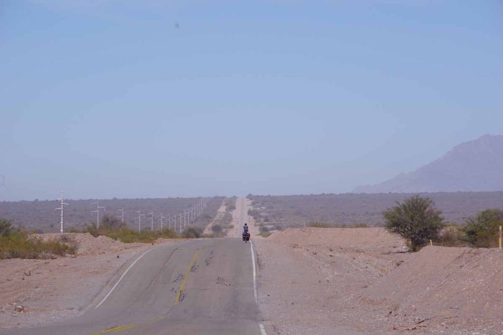
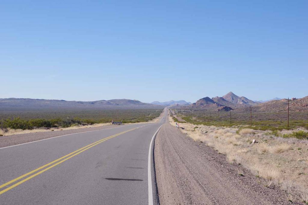
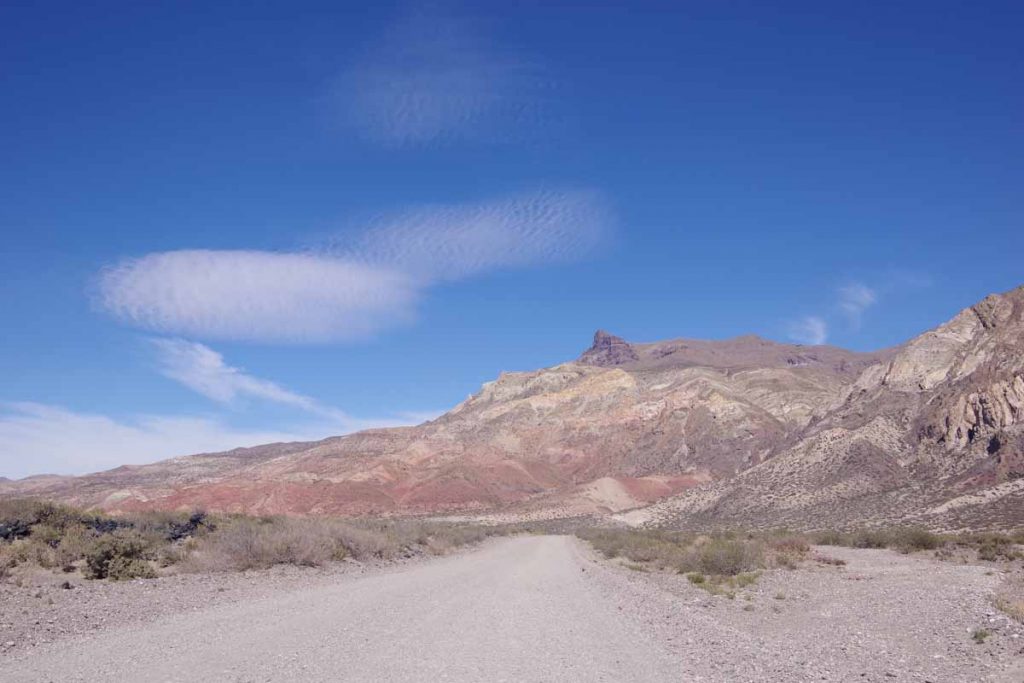
Good pavement and great views along the way.

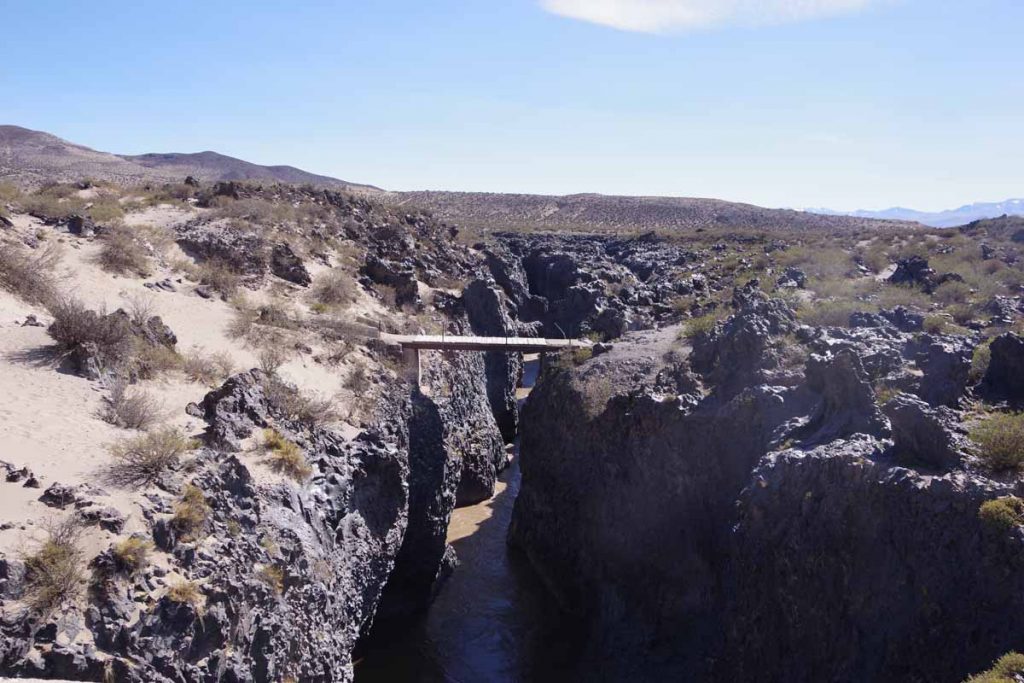
I crossed the Rio Grande again. The river was narrow and down in a small canyon that was marked by lava rocks.

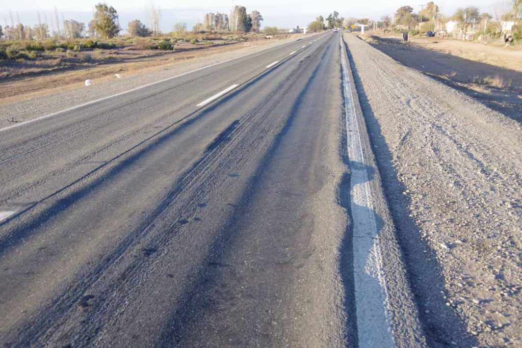
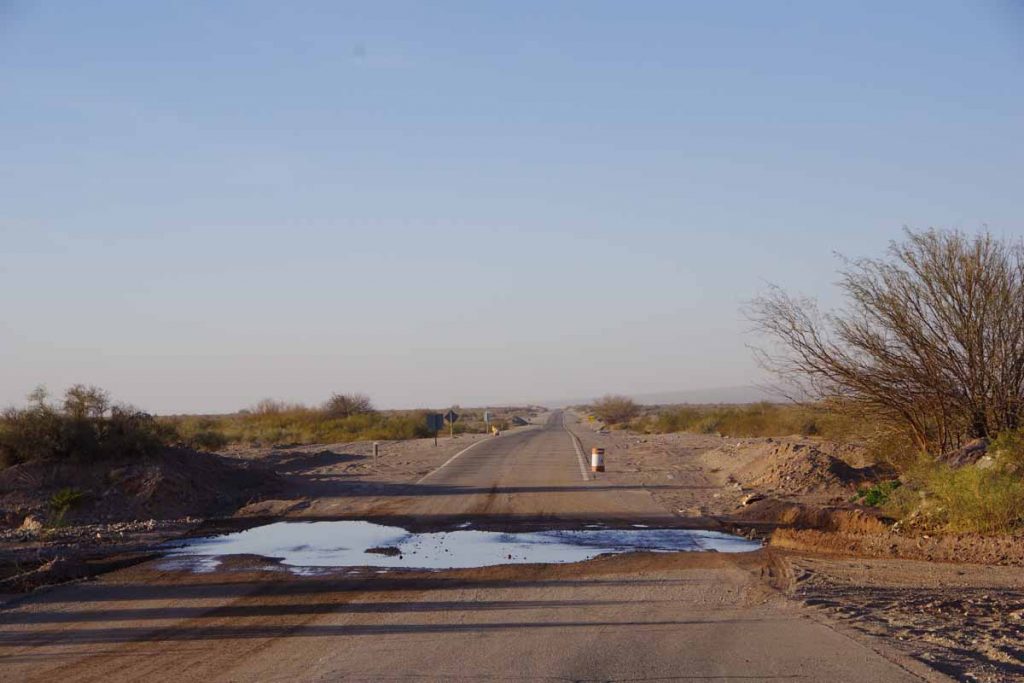
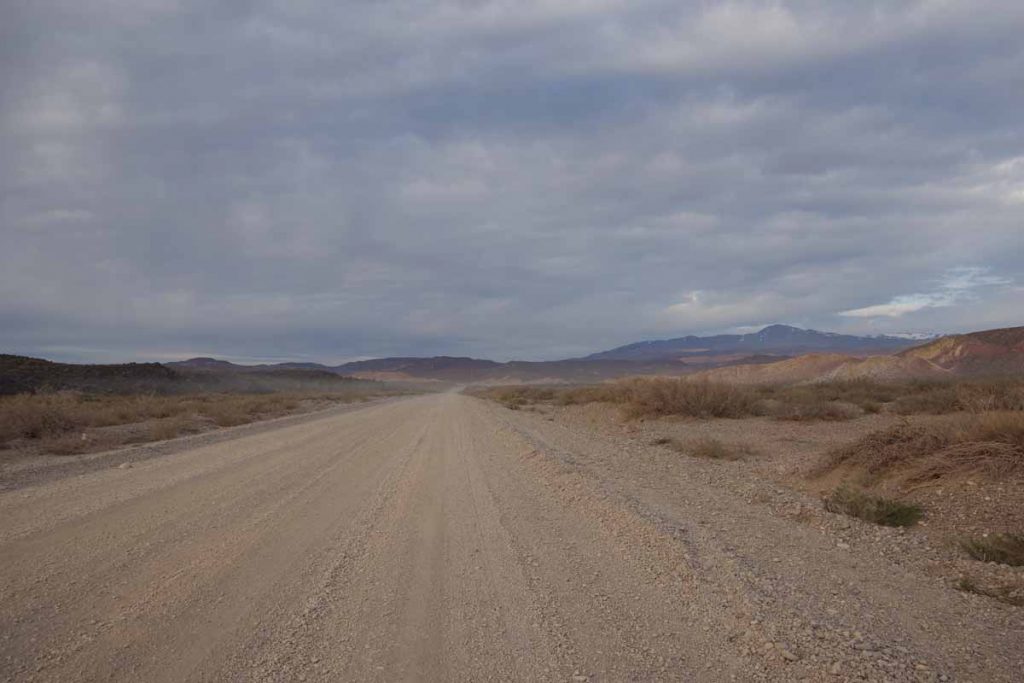
After this started the long gravel stretch. The first 10 kilometers had many loose rocks, often as big as my fist. It was a slow ride with frequent stops.

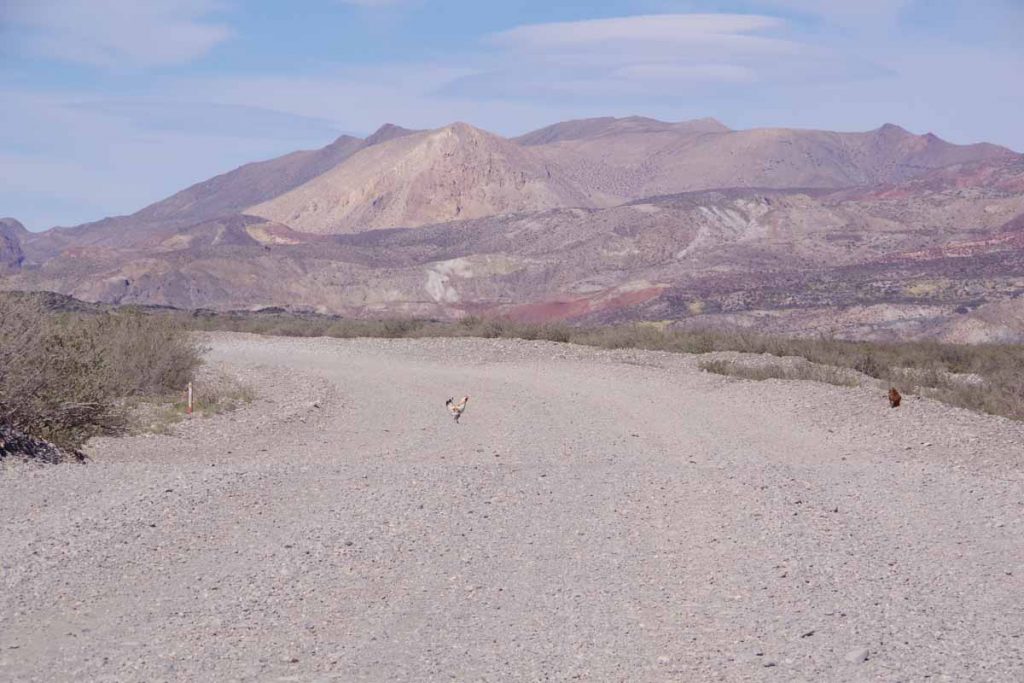
This chicken is crossing the road. I don’t know why.

Another section of rock outcropping.

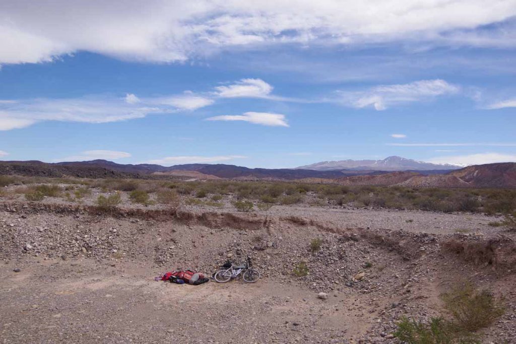
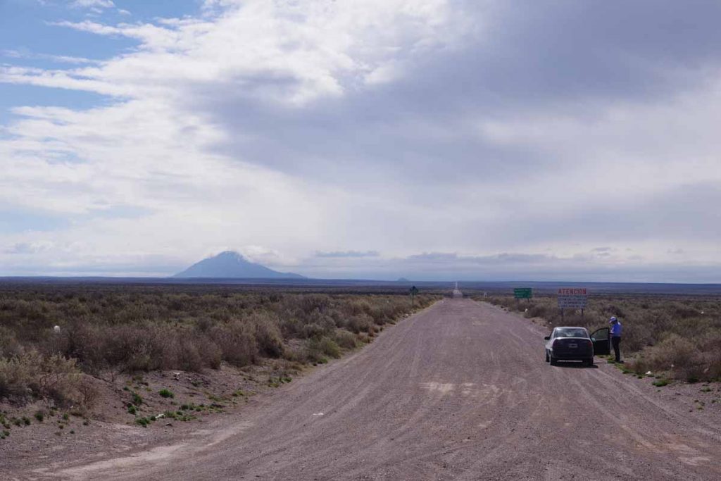
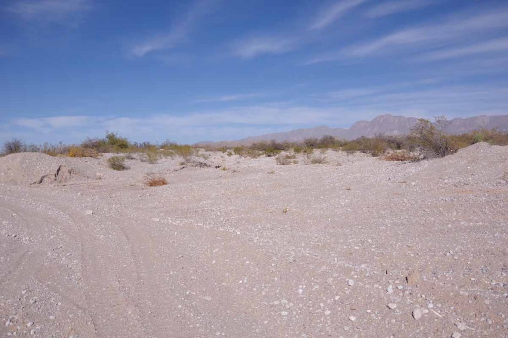
At 81 kilometers, I was coming to ending point of where the Rio Grande would split from the road. I have an Android app, iOverlander that overland travelers use to mark points along the way. Most of these are in trucks or motorcycles, but still helpful to find wild camping places. This gravel pit was one place listed and it gave some shelter from the wind.

Day Three – Gravel pit to Barrancas
Today I made it to Patagonia. The first 25 kilometers continued on the gravel road. The surface was marginally better but there was also 500 meters of climbing so it was still a slow ride.

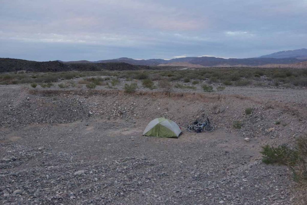
My campsite in the gravel pit. The wind came in bursts. Sometimes a strong wind and a lot of the night not much wind at all.

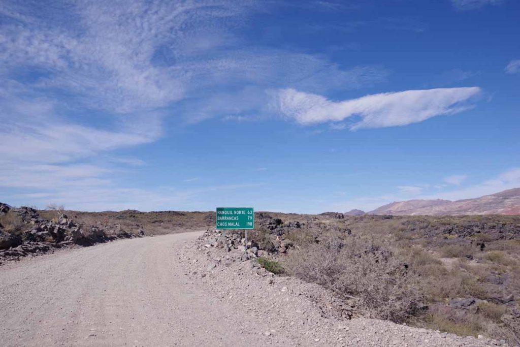
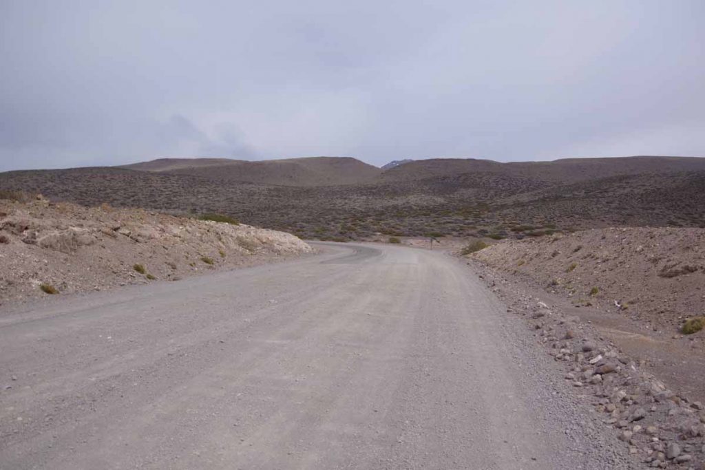
Start of the gravel road.

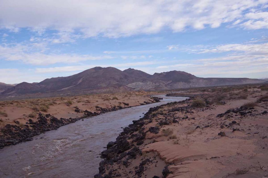
My last crossing of the Rio Grande. Notice how brown the water is with sediments.

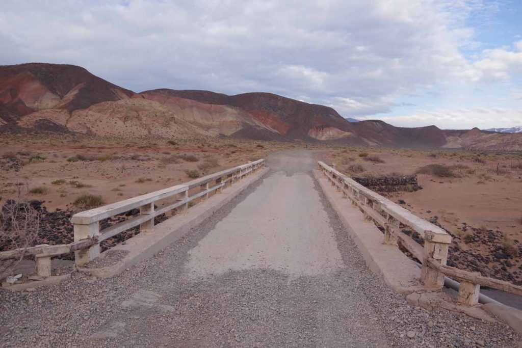
Small bridge over the river.

Pavement!

It took more than three hours to slowly ride up the gravel road up the hill and finally saw the asphalt. As I got closer to top of the hill the wind also picked up.

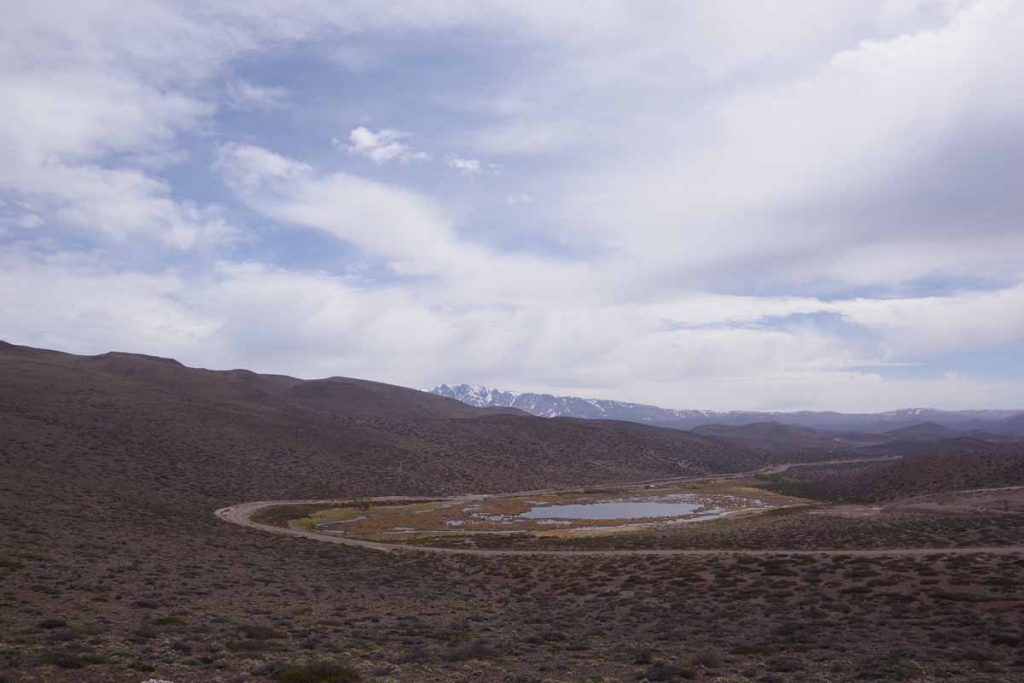
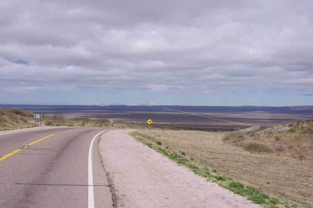
Highest point, looking back on a small lake.

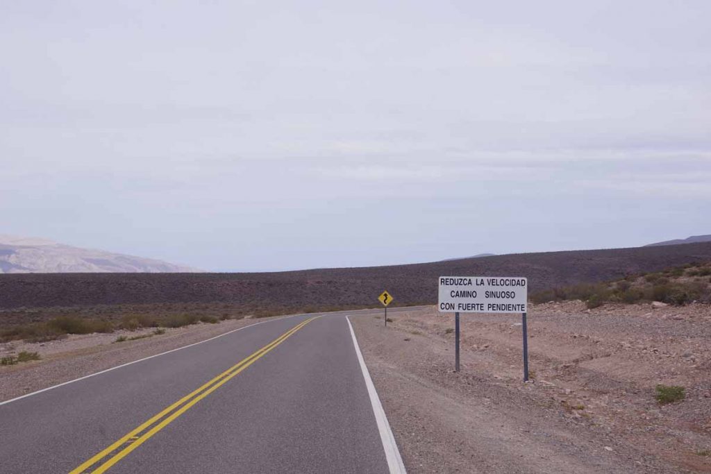
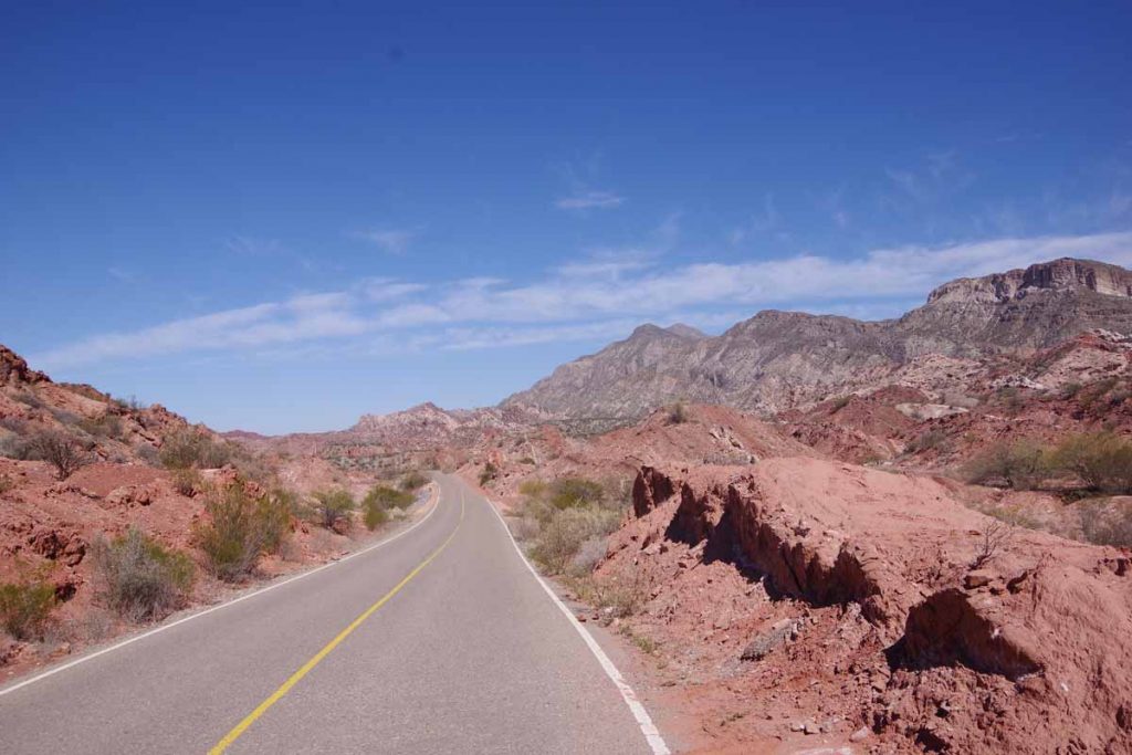
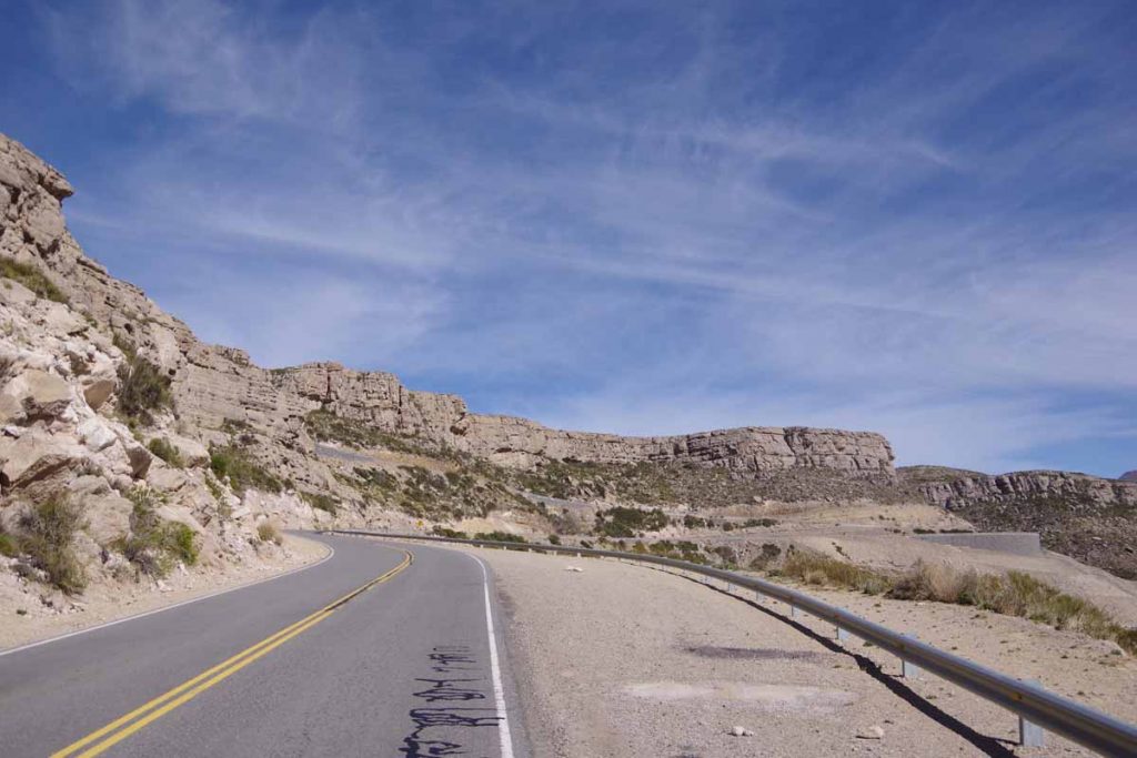
Slow down, winding road with steep grades. The wind kept it from being too fast.

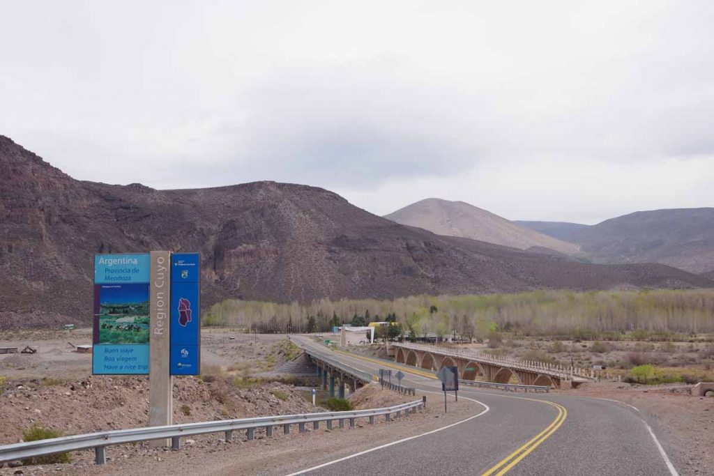
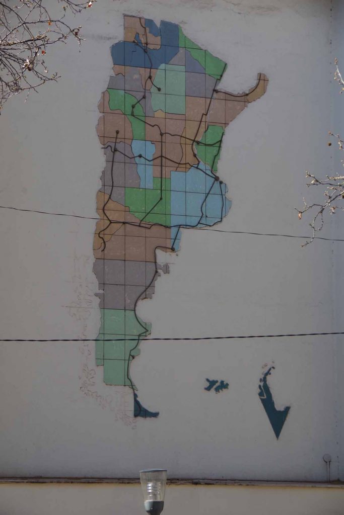
At the bottom of the hill was the Barrancas River. Mendoza Province is part of Cuyo Region. In Argentina I started in the Region Norte near Salta. The Cuyo region was in the middle.

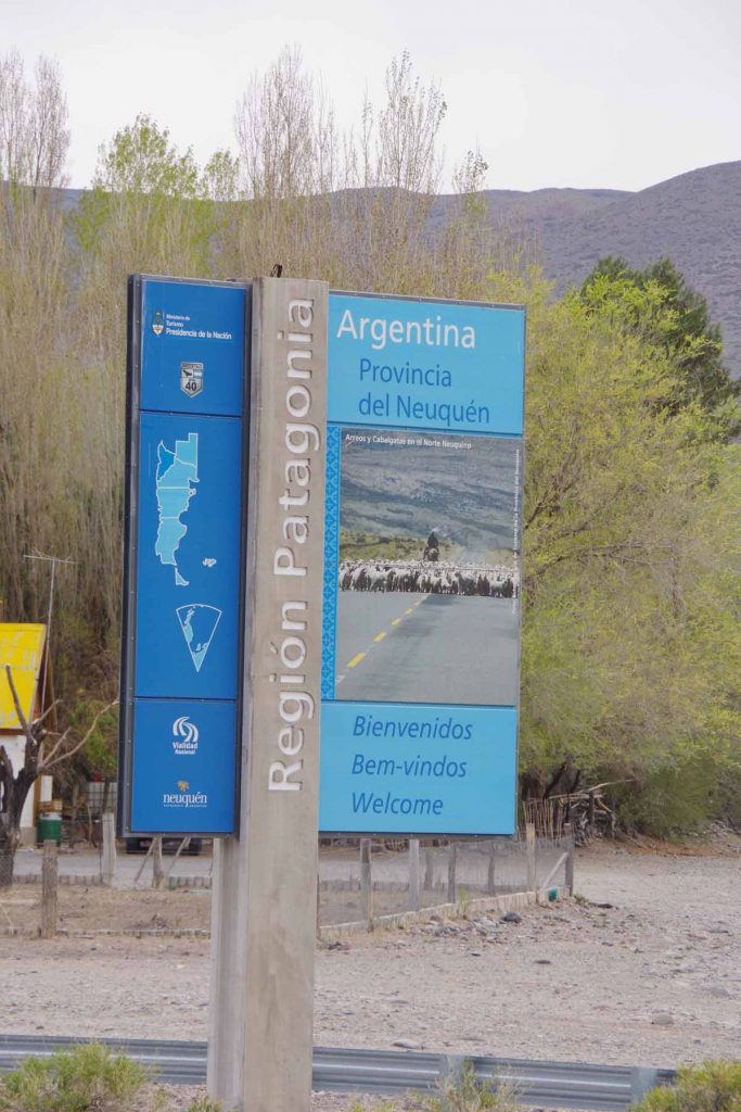
Across the river was the Region Patagonia. Hooray!

Climbing up the hill was small town of Barrancas. Another small hostel here. Nobody was around, but there wasn’t anywhere else to go, so walked around town and eventually someone showed up.

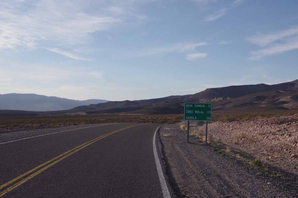
Day Four – Barrancas to Buta Ranquil
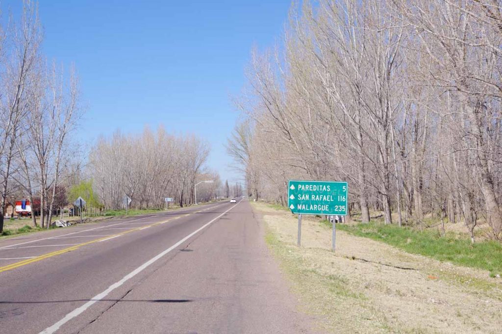
Today a short ride, less than half day to Buta Ranquil.

Up the first hill out of town. It was a cold morning with a brisk wind.

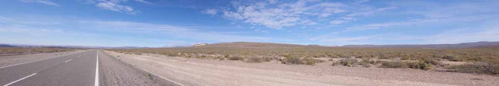
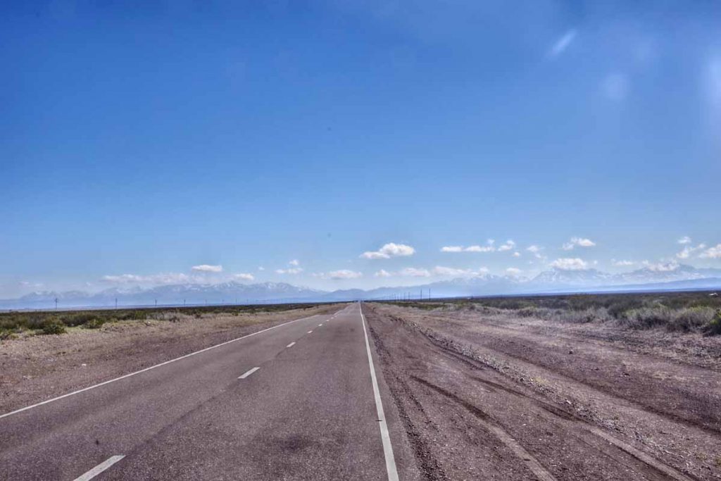
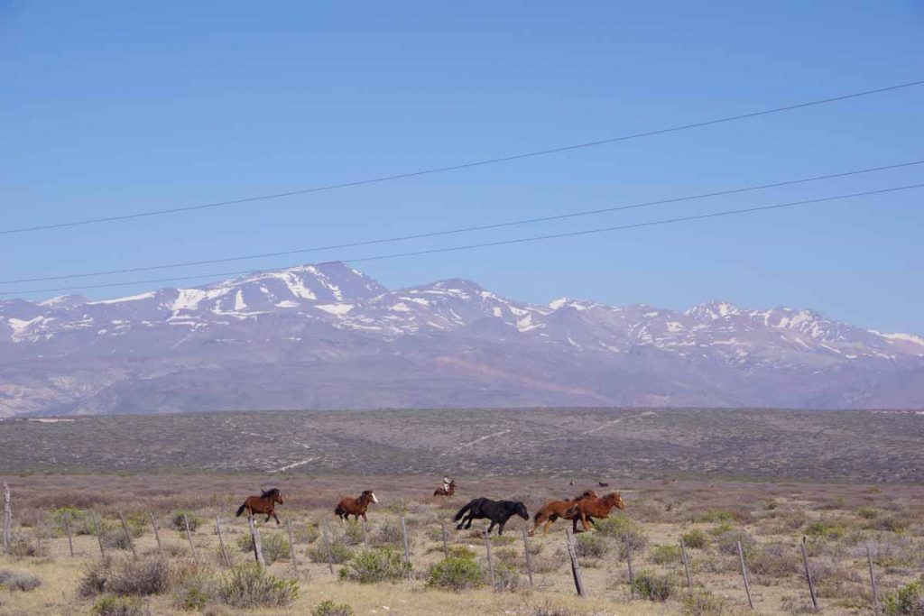
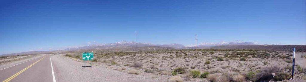
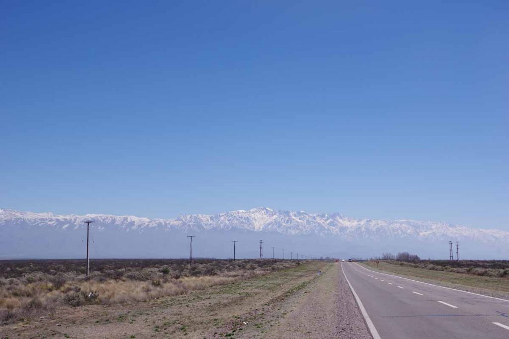
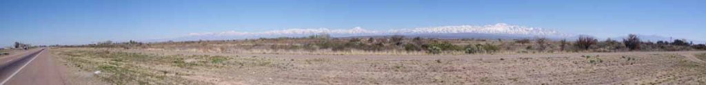
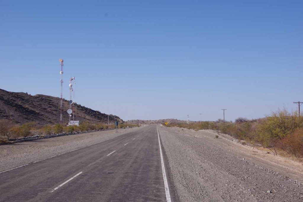
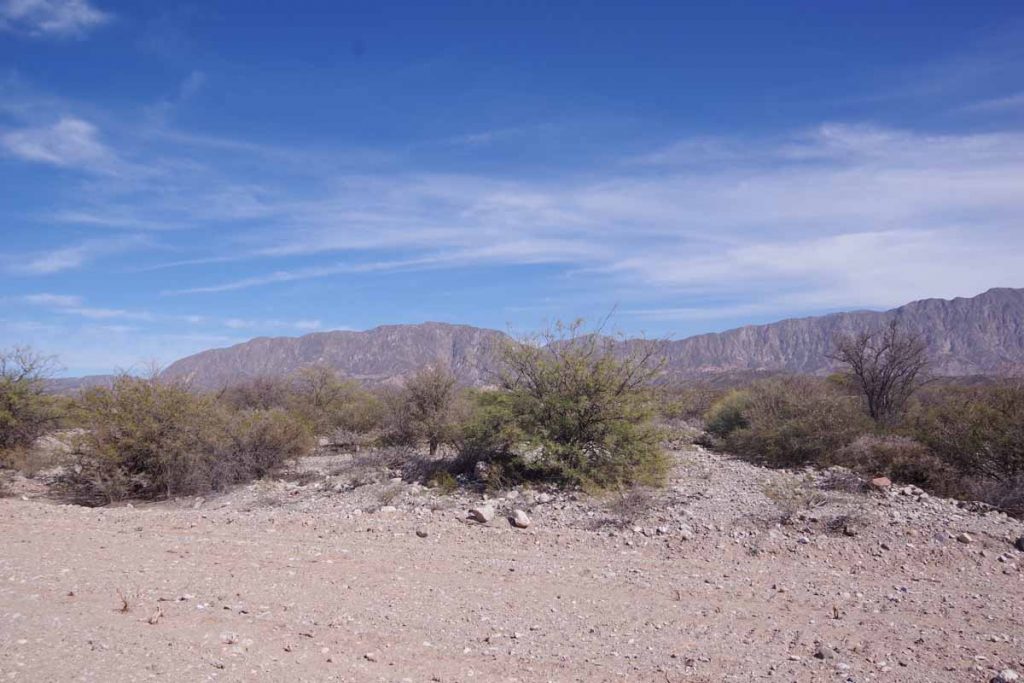
Continued wide expansive views along the way.

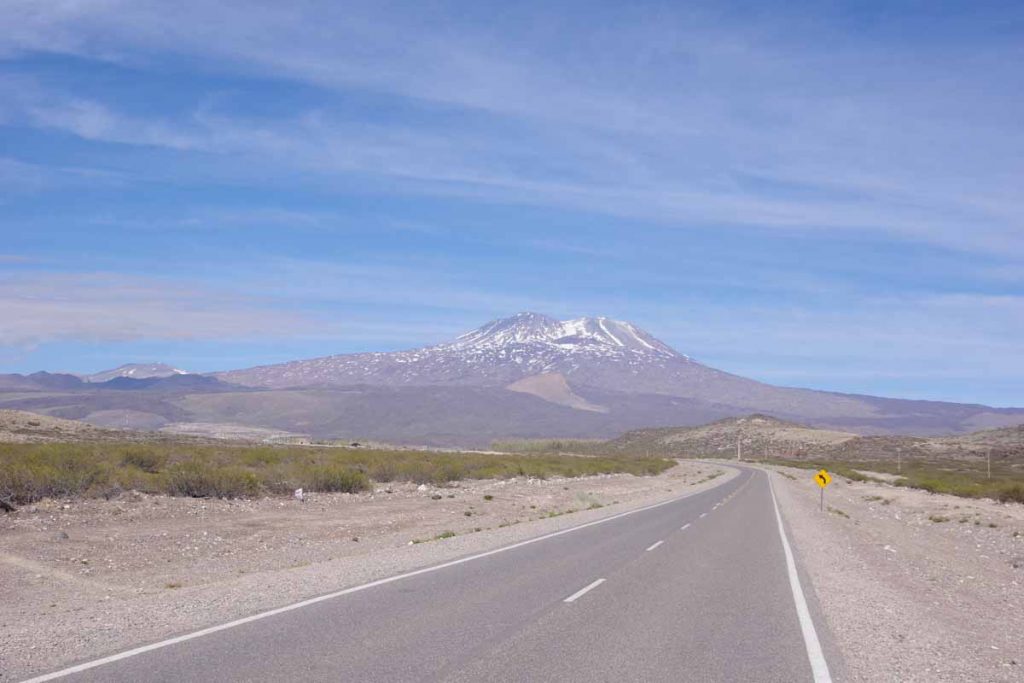
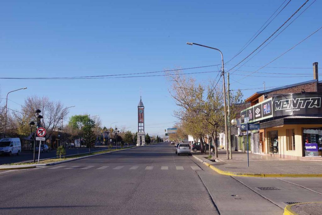
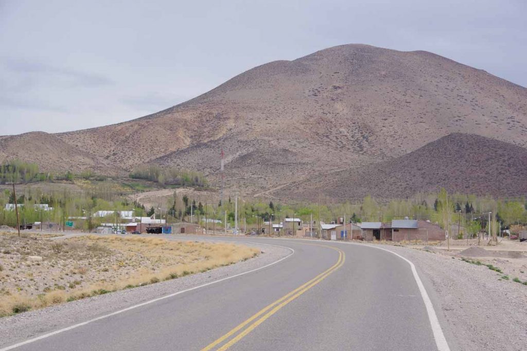
Buta Ranquil is located right next to a tall mountain. Without much difficulty was there by 11am after a shorter ride.

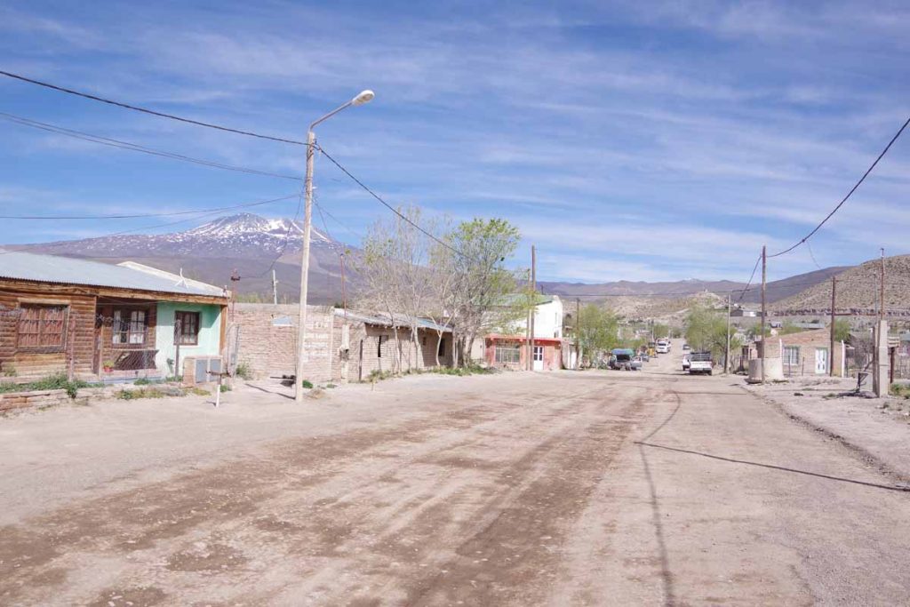
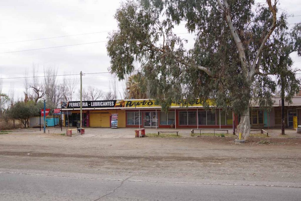
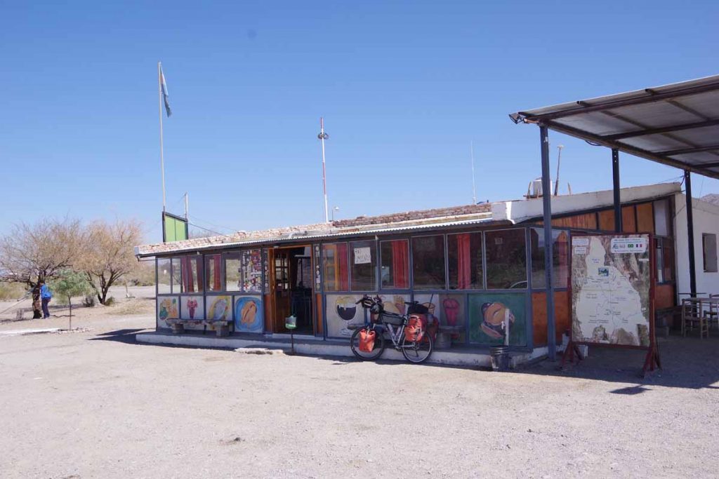
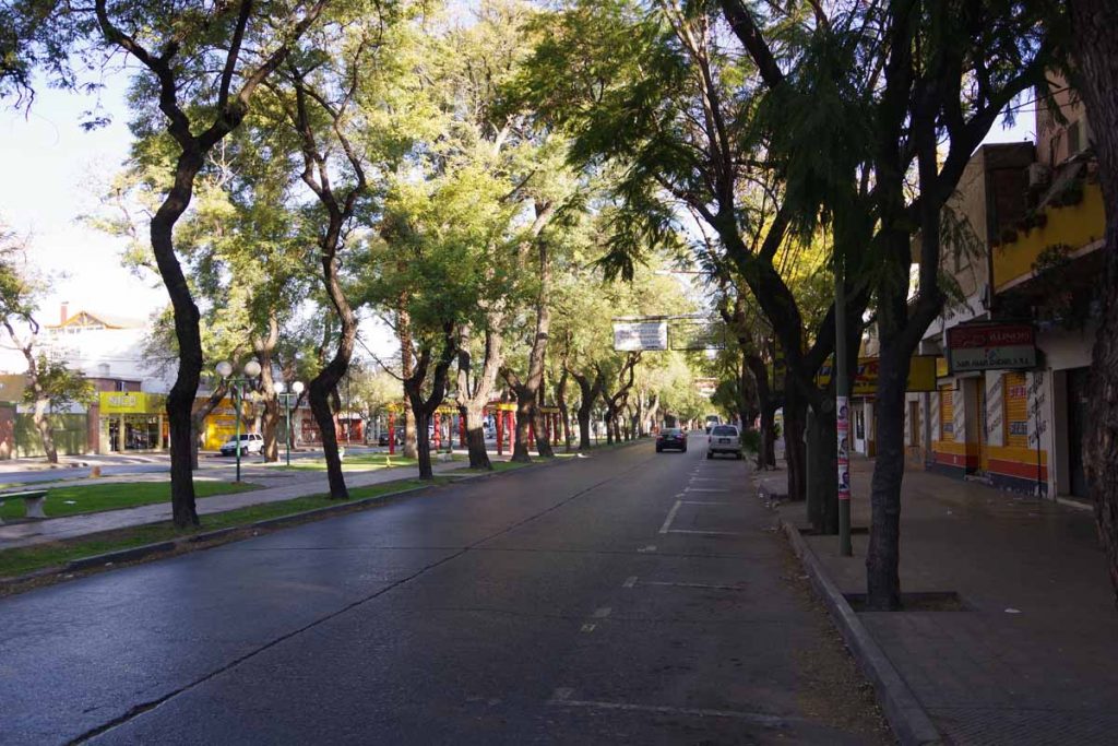
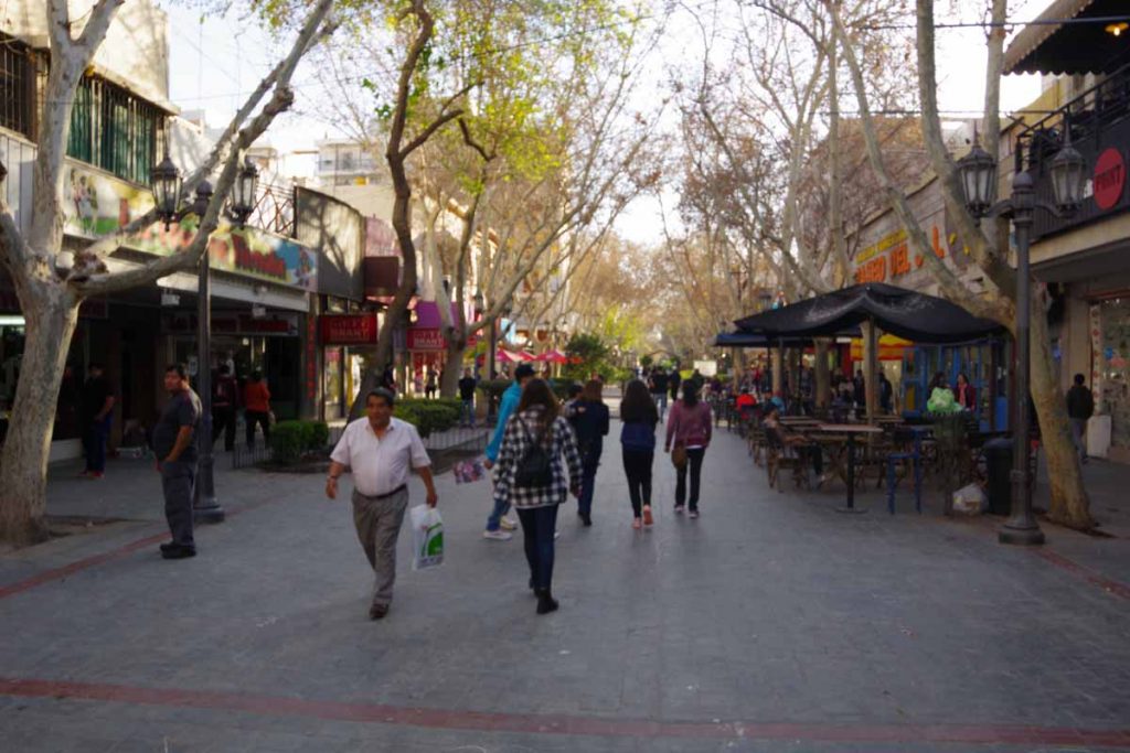
Some of the streets in town. Getting in early meant I was still before siesta time, so shops were also open.
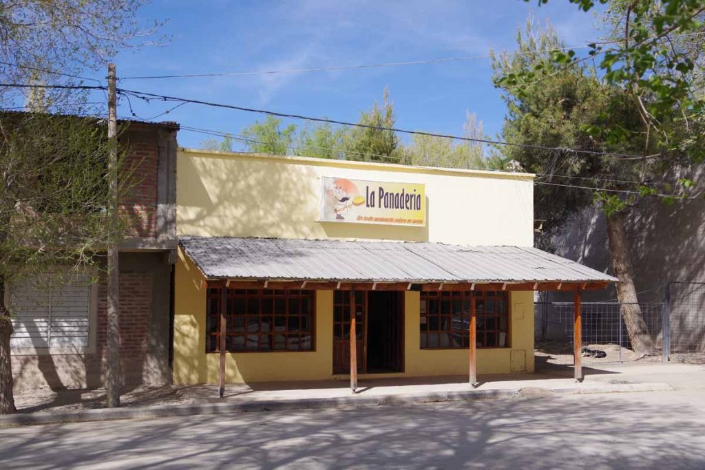
Bread shop in town.

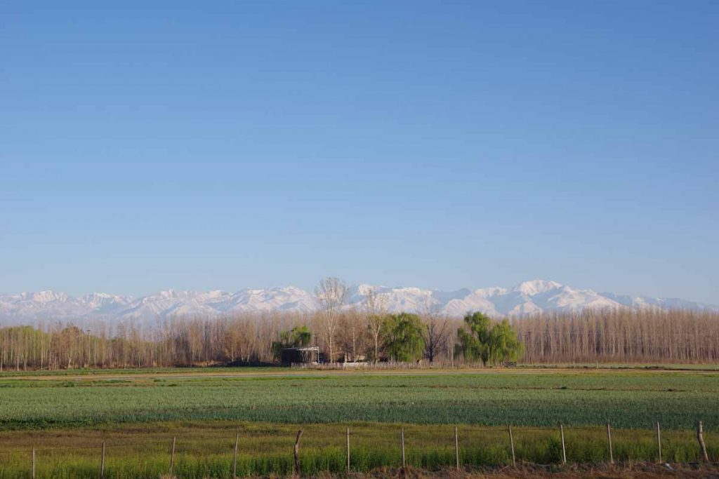
Otherwise nice to be back in a place with internet and small town here. Expect Chas Malal to be an even larger town and then some gaps again before Bariloche. Not sure when, but I anticipate areas with more trees as I get close to Bariloche.

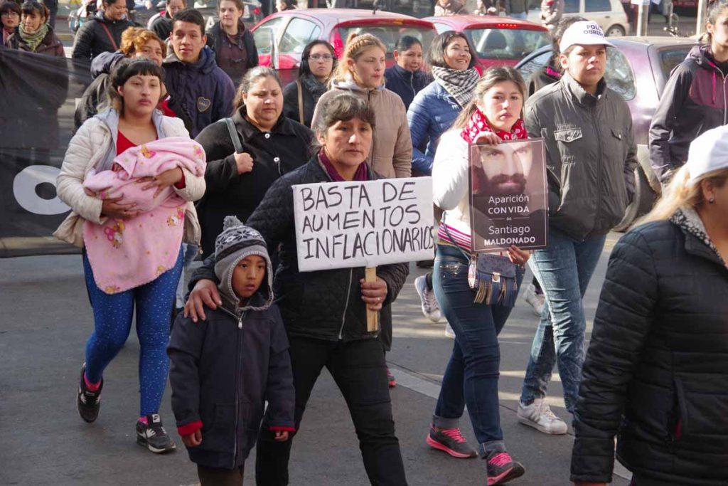
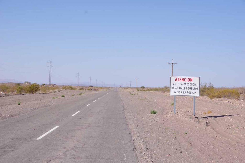
My latitude of 37 degrees south is now further south than Cape of Good Hope in Africa (34 degrees south) and almost as far south as southern part of mainland Australia (39 degrees south). Tasmania and New Zealand still have points further south, but in a while, I’ll be far enough south that there won’t be large land masses to block the winds from whipping around the Southern Hemisphere and into South America. Patagonia is known for wind and expect these will become stronger as I go south.

Also a note that Laura and Ernie had an interesting post about their ride through this area.

Posted in Argentina

Malargue

A bicycle ride across the Americas Posted on 2017-09-21 by mev2017-09-21

Happy spring or fall for those of you in the northern hemisphere.

While cycling I’ve become more aware of phases of the moon, time of sunset and length of the day. Since Lima, there have been two factors affecting the day length: as I went further south, the days became shorter and as spring approached, the days became longer. Between Arequipa and Mendoza these two factors almost canceled each other out, leading to 11 hours and 15 minutes between sunrise and sunset in both cities. After Mendoza, the days have been getting longer and from here until Ushuaia both factors are now increasing the length of the day – to reach 17 hours and 20 minutes on the solstice in Ushuaia.

Two days brought me 188 kilometers further to the town of Malargue. A small town with wide streets and also where I’ve planned a rest day for tomorrow.

Day One – San Rafael to roadside camp

It rained overnight. My bike was parked outside as I’d let the hotel talk me into placing it in the alley behind a locked door. However, didn’t look too wet and rain was pretty much past when I departed. The first fifteen kilometers were still through San Rafael including this bike path shown above.

Fruit trees are in bloom.

On the edge of town, the road started climbing. There was a brief stretch of 8% grades, but most was a gentle 1% or 2% climb.

Some wide sweeping views at top of the first climb including snowy peaks again.

At 52 kilometers was the only real business establishment after San Rafael. This small cafe is where I had lunch.

The road was smooth. There were fences on both sides and this didn’t look the most inviting to camp.

The other end of this road was in Pareditas. It was 113 kilometers of this gravel that I had avoided by going around via San Rafael.

The mountains came into view and started getting closer.

At 120 kilometers was this roadside area. The trees allowed me to get a bit further from the road to camp. While there were no services this was a nice camp site overall. I think one vehicle stayed overnight with a barking dog, but I slept well.

Day Two – Roadside Camp to Malargue
It was just below freezing in the morning but warmed quickly.

There were some oil wells along the way to El Sosneado, the first town along the way. I was at El Sosneado quickly and stopped at a minimart at 16 kilometers.

The minimart sold stickers for “Ruta 40 – 3000 kilometers”. I missed the 3000 kilometer mark, but here was 2997.

Just past El Sosneado was a river valley with two interesting points of interest. While I didn’t go up the valley (and the road would have been closed due to snow), I had read about them.

67 kilometers up this valley is an abandoned hotel and some thermal pools. It was rumored to be a hideout used by Nazis to evade capture for war crimes. Further description (in Spanish), here.

Somewhat further than the hotel and higher up is the crash site of Uruguayan Air Force Flight 571 in October 1972. I had read a book about the ordeal, “Alive, Story of the Andes Survivors” a number of years ago and just recently read it again in Mendoza. A complete description in the book, but a shortened version is the flight was carrying an Uruguayan Rugby team for competition in Santiago, Chile. Weather across the Andes was too treacherous so the plane stopped in Mendoza. When it tried again the following day, the intended flight path went first south to Malargue, then across the Andes and then north again. There was a strong westerly wind, little visibility and plane was still in the middle of the Andes when the pilot radioed intention to start the descent to Santiago. The wings hit sides of a mountain and the tail fell off, but the main fuselage stayed intact for a sliding crash landing on the snow.

Some of the 45 passengers and crew died in the crash and others in days following of their injuries. Some survived the crash but were killed in an avalanche on day 17. As the survivors realized a rescue wasn’t coming, they prepared the strongest to hike out to safety. The expoditionaries first went downhill, but in a mistaken impression they were in Chile, they turned back since it looked like this led further into the middle of the Andes. If they had continued, then in about two days they would have reached the abandoned hotel and somewhat lower the (closed) road leading down to El Sosneado. Instead, after waiting some weeks, the expeditionaries hiked up another 600 meters (2000ft) to the top of the ridge and then down that valley into Chile. It took three days to climb to the top and another week to reach civilization. Overall, more than ten weeks elapsed since the crash but this then led to the rescue of the 16 survivors.

In this next stretch saw this cowboy chasing horses.

Also some goats along the way.

There was a turnoff to Las Leñas, one of the largest ski areas in Argentina. Ski season ends on October 1st. I saw some ski rental places still open in Malargue, the nearest town with an airport. However, I expect tourist season is winding down and was able to find a hotel without too much difficulty.

Not sure if all Argentinians know these date or if they put these signs out to get the curious like myself to look them up…

Apparently, the Tragedy of Chacay happened when Governor of Mendoza Province, as well as those in his party, were killed by local native Indians in the early history of Argentina.

Once I got close, I saw signs for Malargue as well as another “Las Malvinas” sign.

Looks like a football team, though not quite sure which players are painted here.

Overall an easier day today, but still decided to take a rest day here since upcoming road will become more difficult and towns with hotels further apart. Expect a few days of camping and a ~100-kilometer stretch of Ruta 40 with gravel and road construction.

A good example of the difference between pavement and gravel I expect can be seen looking at the gravel shoulders. This will be slower cycling and after the rest day may be a several days before the next update. However, first an easy day in this tourist town near the end of the ski season.

Posted in Argentina

San Rafael

A bicycle ride across the Americas Posted on 2017-09-19 by mev2017-09-19


Two days cycling has brought me to San Rafael. With population 170,000 it is one of the larger towns I will have left from here southbound. I expected the distance of 153 kilometers to be just a bit far for one day, so expected to camp but wasn’t quite certain where when I started.
Day One – Tunuyan to Roadside Camp
Breakfast in the hotel. A nice clear morning where the first 40 kilometers were in an agricultural area along the mountains.

Great views of mountains to my right, can’t quite get enough of these snowy peaks.

Road was good even with a shoulder for most of this section.

Saw what looked like a bird nest way high up in the trees. As you can see, spring is coming and these trees are starting to blossom.

Clean pure water is a local issue that seems to be in common in a lot of the world, as are “no” statements against things that might endanger that water supply.

At 42 kilometers I came to a road junction. Ruta 40 continued straight ahead and Ruta 143 went off to San Rafael. Ruta 40 turns to gravel later and I decided to stay on pavement for a bit longer as this also would get me through more populated areas. However, just after this, the agricultural area would stop and there would be a gap of ~100 kilometers before reaching the agricultural and more populated areas near San Rafael.

There was a restaurant stop for lunch at 52 kilometers. Supposedly there was a campground not far from here. I didn’t easily see it, so decided to continue up and through the more open areas.

Looking back, I slowly left the mountains behind. The paved shoulder also disappeared. The road had gradually climbed from 900m in the morning to 1400m at the highest point at 76 kilometers. Mostly a barely 1% climb and not difficult.

At 95 kilometers I saw this roadside rest. Looked like the ideal place to camp. While the awning wasn’t really necessary, I didn’t put up my rainfly. Still heard some traffic on the nearby road through the night, but that eventually quieted down as well.

Day Two – Roadside Camp to San Rafael

Looking through the mesh of my tent, I saw a truck had parked overnight. It left just as the sun was rising. I took my time packing up and then getting back on the road.

Back to some wide open and fairly desolate looking areas again.

About 22 kilometers down the road, saw another of these shelter areas. Looks like something built a bit more officially.

At 42 kilometers I came to the entrance signs for San Rafael. This was once again agricultural along the way. Two interesting signs followed.

The first, “Las Malvinas Son Argentinas” as well as the little outline on the map, reiterate that Las Malvinas (Falkland Islands) belong to Argentina.

The second gave a distance to Puerto Argentino. I looked up “Puerto Argentino” and learned that this is the capital of the Falklands. It was established by the British and named Port Stanley. As a British town, it didn’t have an Argentinian name, but the Spanish translation of “Puerto Stanley” is not liked by those advocating Argentinian sovereignty since it refers to a British politician. Hence, “Puerto Argentino” is the name adopted by Argentina since their short-lived occupation in 1982. None of the locals use this name though.

While this is a “as the crow flies” distance out to sea, nice to see Puerto Argentino is also closer than Lima (2660 kilometers) and the as the crow flies distance to Ushuaia (2248 kilometers) is not much further. Meanwhile, Deadhorse Alaska is a long ways away (13,260 kilometers).

It was still 15 kilometers into center of town and there was a bike path for much of this distance. I am sometimes wary of such paths since they aren’t always continuous and can have more hazards so I’ll check out what the locals are doing. Most seemed to be cycling on this path and it turned out to be a reasonable ride.

There is a nice town square and I found a hotel not too far away. While it was mid-afternoon, the siesta isn’t quite as strict here as further north as I was able to find a restaurant that was open.

From here, it will be diagonally back to the mountains and town of Malargue, a ride I expect to take two long days with a roadside camp in between. After that, reports of road construction and rougher roads, so expect a bit tougher gap after Malargue.

Posted in Argentina

Tunuyan

A bicycle ride across the Americas Posted on 2017-09-17 by mev2017-09-17

On the road again! First day cycling south from Mendoza.

Today I followed the mountains south. It was a quiet Sunday morning as I left Mendoza.

Mendoza metropolitan area has a population of a million and there was a local freeway through town. It was quiet as I came past the giraffe at 5km, much quieter than when I had entered the city on a Monday afternoon rush hour.

Without much trouble, I was on Ruta 40 heading southbound. This was a major freeway until the very end of the day. On two occasions I saw a “no bicycling” sign, but I also saw half a dozen local cyclists. There were also shoulders which made it an easier ride than coming into Mendoza from the north.

Vineyards with mountains behind.

Crossing a small bridge, I saw signs for a cafe. It turned out to be this place and it wasn’t open. I did however, stop briefly at the YPF gas station at 25 kilometers. These seem to have good wifi as well as a small shop/cafe.

Looks like an air traffic radar signal, but not 100% certain. By now there were occasional fields but also larger areas of scrub.

Without too much trouble, made it to Tunuyan. The main street was boarded up, both in the siesta time window and because it is Sunday. However, I was able to find an open cafe a few doors down as well as small kiosk store to get a few things for tomorrow. There will be another small town and a gas station followed by a long gap before I get to San Rafael.

As an interesting comparison, ten years ago today we arrived in Vladivostok after cycling from Amsterdam. The total distance should be close to my distance from Cartagena to Ushuaia.

Posted in Argentina

Mendoza, departure eve

A bicycle ride across the Americas Posted on 2017-09-16 by mev2017-09-16

Back in Mendoza after a nice visit to Colorado.

I swapped in a new front tire and went for a test ride. All seems well. Nice to have a new tire, two new spares, a new mirror, new gloves and a new Camelbak. After almost three weeks off the bike, it will be nice to ride again.

Monday is Chilean Independence Day. The agreement that I had with the hotel was two nights reservation in return for their keeping my stuff while I was gone. This way they don’t as easily get stuck with an empty room that Chileans might otherwise rent for a long weekend in Mendoza. If there had been a window of good weather followed by worse weather, e.g. wind/rain coming, then I might have gone early but forecasts look good for a while and I have some time, so one day in Mendoza to put everything in place for departure.

Plans can always adjust but following is the rough idea for the next nine weeks until I need to be in Puerto Montt (purple pin) to meet TDA:

  1. Start cycling from Mendoza (red pin) to Bariloche (yellow pin) (AB). Distance is slightly less than 1500km and looks to be mostly paved. Towns are found along the way, but it will be mostly two-day gaps between towns.
  2. At the two-week point, end of September, make a rough decision between “ferry” or “school” and make appropriate reservations:
    • Ferry: After Bariloche, another 1600+ kilometers to Puerto Natales (green pin) along Ruta 40 (BD). A little tougher than before but should still be possible in the time I have. At Puerto Natales, a car ferry leaves once a week and takes four days to go to Puerto Montt (purple pin).
    • School: In Bariloche, there are two Spanish language schools. One looks interesting and also has a homestay option with a local family. Sign up for appropriate number of weeks depending on my Bariloche arrival dates and then the week before TDA arrives, cycle over to Puerto Montt (BC).

From Puerto Montt, TDA takes 29 days to get to Ushuaia including 16 cycling + 6 rest days to Puerto Natales and 6 cycling + 1 rest day to Ushuaia. So if I do cycle to Puerto Natales on the Argentina side, then I will see bits of Patagonia from multiple angles. First two weeks of cycling before I get too far ahead of myself.

Posted in Argentina, Planning

Mendoza rest days

A bicycle ride across the Americas Posted on 2017-09-04 by mev2017-09-04

I have had a relaxing week in Mendoza. One day with some drizzle but otherwise comfortable if slightly cool temperatures.

In the middle of Mendoza is a large Plaza Independencia.

Two blocks up and over in each of four directions are four other smaller squares. On a map the layout would be a “5” on a dice.

There is a pedestrian mall with the requisite cafes and street performers.

Police ride bikes here to patrol the pedestrian mall, though there are signs prohibiting others from riding bicycles on the mall.

There was a small protest that came through one day.

I believe the cause includes stopping inflationary increases.

There are shops that sell package tours. I looked briefly at them though none of them seemed particularly exciting. Popular trips seem to include wine tours as well as “alta montana” to go high up into the mountains. There also appears to be horseback riding and rafting though I am not sure the rafting is currently going.

It is still the end of winter and looks like they are still skiing higher up in the mountains.

I brought my bike in for service. It was time to replace a worn chain as well as a cassette. Otherwise, the bike seems to be riding well. My plan is to fly to Colorado in a few days. It will be some long flights surrounding a short trip. On the way outbound, I have overnights in Santiago and Los Angeles. On the return, it will be an overnight in Miami and one in Lima, Peru.

Otherwise mostly relaxing and also started working further on a project to write out a Microsoft Word document describing the previous five long trips I took before this one. I mostly have detailed journals on a web site, but the idea is to remove some of the redundancy (we rode, it was long, it was hot, we stopped. Next day we rode,…) and focus on highlights of these trips. It is some work and will still require some careful editing, though I’ve got a little over 58,000 words written out and more still to finish.

Mendoza is the middle purple colored province on the map above. I’ve spent some time reading other journals to get an idea of the route and travels from here south.

The rough plan would be to continue on Ruta 40 along the east side of the Andes to Bariloche and then cross over to Puerto Montt and meet the TDA ride.

The elevation of this route is not particularly high, though it may get colder as I go further south. In addition, chances of rain seem to increase as well.

After returning from Colorado, I expect to have just over two months to get to Puerto Montt. That is roughly twice as much time as my typical pace has been these past months of cycling. As I’ve looked further, I’ve mulled a few possibilities:

  • It might just take me longer if I have a more relaxed pace or run into some weather delays or mechanical issues
  • There is a language school in Bariloche if I get there early, and perhaps an excuse to further brush up on my Spanish
  • It may be possible to cycle a little further south through the Argentinian side of Patagonia and then catch a bus or ferry back

All these alternatives essentially start out with a ride southbound from Mendoza and I can wait as that unfolds to see if I end up with any extra time and if so where I might spend it.

Otherwise, a nice and relaxing change of pace in Mendoza as I prepare for a flight back to Colorado and followed by a continuation of the trip southbound.

Posted in Argentina

Mendoza

A bicycle ride across the Americas Posted on 2017-08-28 by mev2017-08-28

Into the big city as I complete this stage of the ride. Mendoza is approximately 2/3 of the distance through South America and time for a short intermission including a flight back to the USA.

Today was a longer ride both in distance and time with a light headwind for most of the day.

The roadside hotel was nice and had good pizza place next door. The weather forecasts had said “warmer today”. While it started out warmer, by mid-morning overcast set in and it never really warmed up much further. The first 10km had a nice four lane highway.

These guys had fun arranging the melons.

Between the 10km and 100km mark, the road narrowed to two lanes and got steadily busier as I got closer to Mendoza. There were sections with deep ruts as shown in the photo. These were obnoxious as it was difficult to ride too close to the shoulder and instead I would need to ride in the ruts.

Fortunately, other sections were smoother.

At 31 kilometers I passed from San Juan province to Mendoza province. There was an agricultural check at this point where they checked vehicles, but waved me through without checks.

It was also a bit of a toll booth with cars being charged ~$2.

Shrines here included ones to San Expedito.

I also saw San Expedito on other signs not always associated with a shrine.

Of course, the other shrines were also still along the way. This one had collected a large amount of water containers.

Signs told one to check the water level before crossing.

Water level marker.

At 71km I stopped briefly in Jocoli, just as the store in the photo was open. By the time I finished, it was already closed.

The last bit of the ride brought me past the airport and into Mendoza.

Mendoza wasn’t too difficult to ride. The road widened to four lanes and once I got close, I was able to take the smaller city streets. I had booked a hotel on Expedia and once I figured out it was a reasonable place, then also booked some additional nights during my Mendoza stay. Nice to reach this larger city where the plan is to spend the next week before my flight to the US. A chance to both relax and get some more detailed plans for the remainder of South America.

Posted in Argentina

Media Agua

A bicycle ride across the Americas Posted on 2017-08-27 by mev2017-08-27

Lazy Sunday afternoon in Media Agua.

It is 170 kilometers from San Juan to Mendoza. The road is flat, mostly straight and without a paved shoulder. There is a moderate amount of traffic. In general, not the most exciting or scenic road but one where you do need to pay attention.

The distance was just a bit more than I wanted to ride in a day, particularly after 157km yesterday. The last known spot with a hotel was Media Agua at 55km, so I decided to split it into a shorter ride today and longer ride tomorrow. Since I had plenty of time, I took my time in getting ready and leaving this morning. It still was a quiet Sunday morning when I left.

After a few kilometers, I turned onto a four lane highway with a nice shoulder.

This lasted less than five kilometers before I came into a large road construction project. I went past the construction barriers. While in Bolivia they were working on Sunday, it was very quiet in Argentina as I worked my way through the road project.

Soon enough I was on the other side. This area is agricultural including this olive oil factory.

Quite a few vineyards along the way and a few wineries.

The sign says emergency habitations, though most of them seemed to have people living in them now. Also a good example where most places I passed had a water tank on the roof.

Otherwise, without much difficulty, I found myself in Media Agua. Next to the gas station is a restaurant as well as a roadside hotel. It was a lazy afternoon as I relaxed and anticipated a longer ride into Mendoza to follow. I will have a little over a week in Mendoza before flying to the US for a short intermission and chance to pick up bike tires and a few other supplies.

In the afternoon I saw Laura and Herbie. They also were planning on splitting the ride to Mendoza into two days, but expecting to camp a little further along the road. We will have left Salta on the same day two weeks ago and pretty much leapfrogged each other these past two weeks.

Posted in Argentina

San Juan

A bicycle ride across the Americas Posted on 2017-08-26 by mev2017-08-26


Longer ride that was mostly flat and without much wind.

Yesterday the weather forecast said 15-25km/h headwinds so was a good time for a rest day. Today was more favorable and my plan was to at least cycle 100km and then assess things. As it turns out, I cycled 157km all the way to San Juan.

A cool morning starting out and after 10 km I was back to Ruta 40 again. For the most part, followed a long shallow valley southbound.

There were radio towers such as this one at several spots along the way.

Also signs telling people to report animals on the loose.

I still see shrines but fewer Gauchito Gil shrines than further north. I might have only seen two or three today.

As I got closer, I saw several daily cyclists out for a ride. The last 20km near San Juan had even more local cyclists.

A lot of the route was parallel to an old abandoned railroad.

At 101km was this restaurant where I had a late lunch. This had been my original target and there were some abandoned houses I could have camped near in the area. However, it was still early so I continued.

In the distance you can see the largest uphill for the day. A 200 meter climb and then a descent much of the rest of the way to San Juan.

It became busier on the road as I neared the town. There were occasionally shoulders though these were inconsistent.

San Juan itself had nice tree-lined streets. I followed these into the center of the city.

At some point I found a pedestrian mall. I checked a hotel or two and found a reasonable place to stay nearby.

I am glad that I took a rest day yesterday since if there had been much headwind, not sure I would have made it the entire distance in one day – so I still would have been here this evening. Now close enough that it is time to sort out the Mendoza possibilities.

Posted in Argentina

San Jose de Jachal

A bicycle ride across the Americas Posted on 2017-08-24 by mev2017-08-24

Crossed over 30 degrees south latitude.

It didn’t necessarily look particularly exciting. However, since I started at 70 degrees North, this makes it 100 degrees of latitude crossed.

Had a great breakfast in the hotel with all four of us touring cyclists. It was cold, but fortunately no wind! I stopped to take a photo at the statue as well as put on mittens.

There was a low water crossing. There was a sign warning of such crossings for next 60 kilometers. Also numbers on the road starting around 190. It wasn’t until later that I realized that this meant 190 different small creek crossings in those 60 kilometers. Fortunately, I believe this was the only one with water, but in wetter season, one needs to be careful.

There was road construction. Mostly putting concrete in the low water crossings as well as some paving. Was able to stay on asphalt almost all the time.

Just an occasional diversion like this one where they were cleaning up from the construction work.

An example of one of those 190 small dry wash crossings.

Ernie and Laura came by. Good example of the long straight road that mostly went through this dry area.

At 74 kilometers a traffic circle and then a big change. I took the back road (491) to San Jose de Jachal. It was a great little road that went through a canyon and then climbed steeply up a view point.

The road was narrow and even went through a small tunnel.

At points the road was marked with a width of 4m (13ft) for the entire road. Not much traffic and a great cycle ride.

Came past this church on the other side.

The wind picked up the last 10km into town. It was a long but nice ride as I found the hotel in town. Walked to the town square. Most everything was closed, but the ice cream place was open. Will come back later and hopefully restaurants are open. From here a ~160km gap to the next town, so will look carefully at the weather forecast – particularly the wind in deciding when to cross.

Posted in Argentina

Post navigation

← Older posts
Newer posts →
©2025 - A bicycle ride across the Americas - Weaver Xtreme Theme
↑