↓
 

A bicycle ride across the Americas

from Deadhorse (SCC) to Ushuaia (USH)

  • Home
  • Plan
  • Blog
  • Photos
  • FAQ
    • Why?
    • Where?
    • What next?
  • Map
  • Equipment
  • Calendar
  • Countries
    • USA
      • Alaska
      • Montana
      • Wyoming
      • Colorado
      • New Mexico
      • Arizona
      • California
      • Texas
    • Canada
    • Mexico
    • Guatemala
    • Honduras
    • Nicaragua
    • Costa Rica
    • Panama
    • Colombia
    • Ecuador
    • Peru
    • Bolivia
    • Chile
    • Argentina
  • Weather
  • Links
  • Contact
Home→Categories USA - Page 2 << 1 2 3 4 … 6 7 >>

Category Archives: USA

Post navigation

← Older posts
Newer posts →

Jacumba Hot Springs

A bicycle ride across the Americas Posted on 2016-10-19 by mev2016-10-19

Is it better to know about the road ahead or to remain blissfully unaware? Today was a good example of the tradeoff. I’m normally in the camp that likes to know what is ahead so I can learn from others experiences and do some planning of my trip.

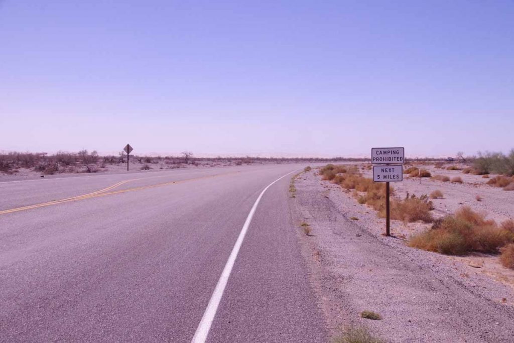
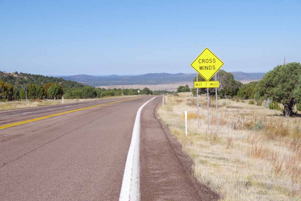
So yesterday I made a reservation at Jacumba Hot Springs so I could watch the debate. After that I read what others had to say about the route. I was surprised. I already knew there would be a solid climb from below sea level to over 3200ft. However, other reports seemed to include four additional challenges that had made their trips fun: (a) the 20 miles from Seeley to Ocotillo supposedly had an extremely rough road, some commented as the “worst on the entire southern tier” and others did inventive things like sneak on the interstate, etc (b) the climb on I-8 had two bridges with minimal shoulder (c) some complained of heat over 100F and even hotter (d) winds could be fierce.
imgp4386
After reading those accounts, I thought “wow! is this going to be a really rough day?” Fortunately, it turned not to be as bad as anticipated.

I got on the road twenty minutes before sunrise – to give myself some cool morning cycling and stay ahead of wind if it picked up.
imgp4390
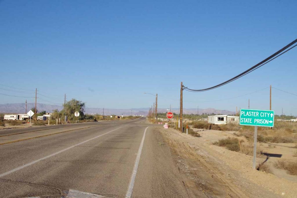
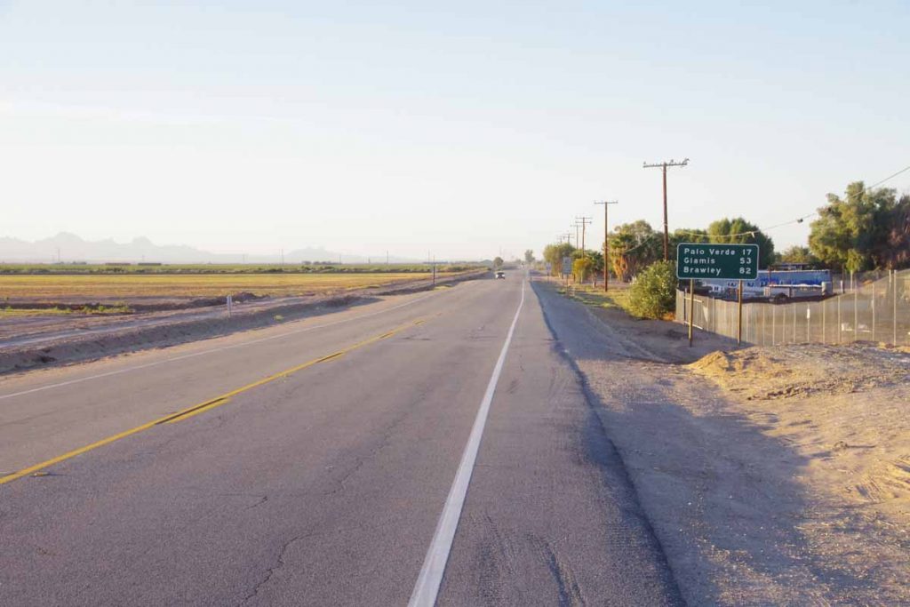
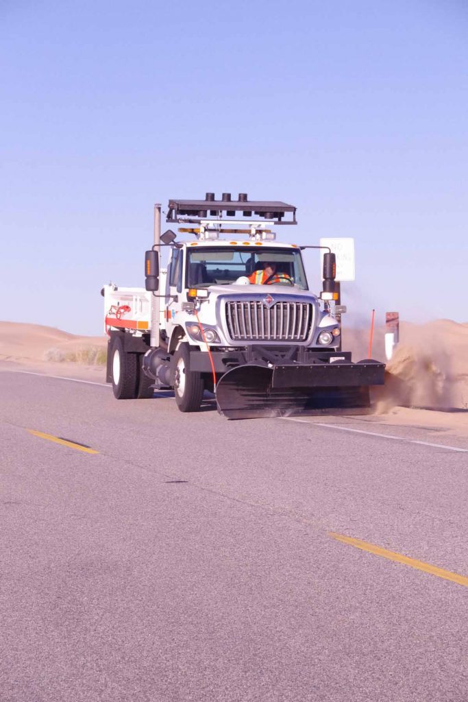
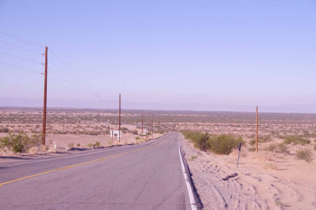
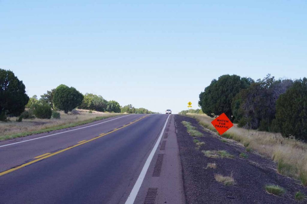
The first seven miles cycling to Seeley the road was fine, only getting a bit rough once I came into Seeley. I stopped at convenience store and clerk told me the road was OK until the stop sign. There was a lot of traffic on the road, but turns out it all turned off in direction of the prison. After the stop sign it was much quieter riding.
imgp4396
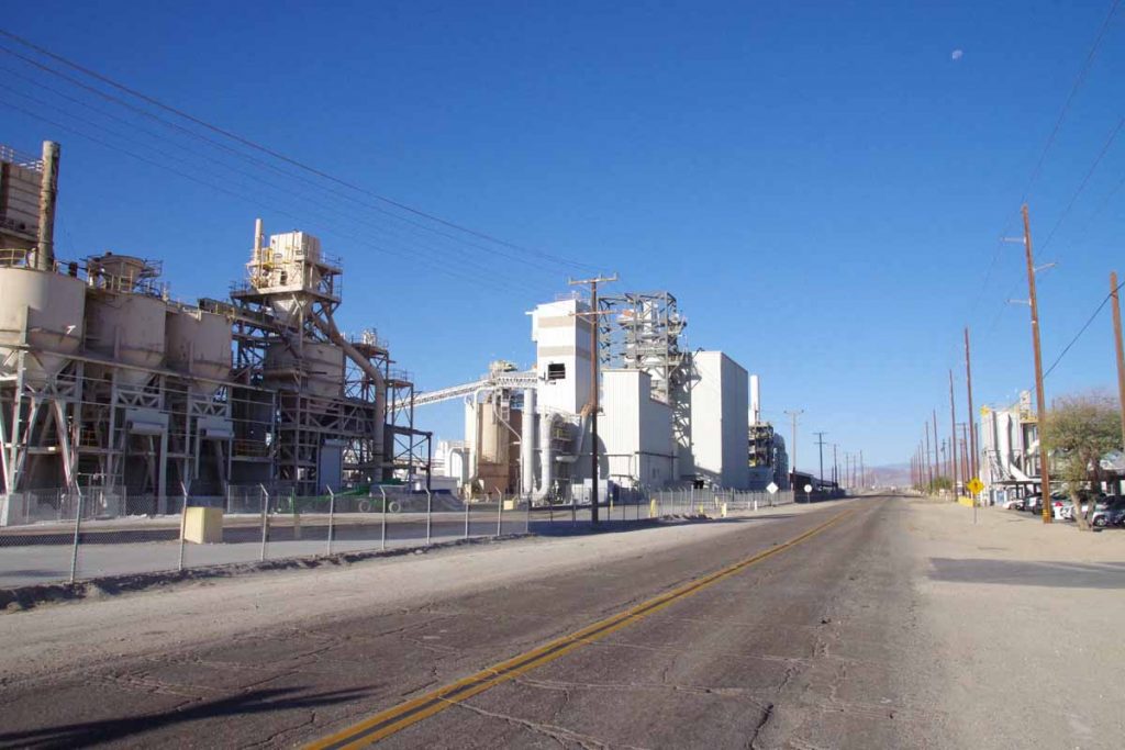
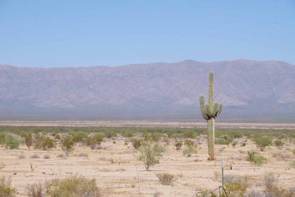
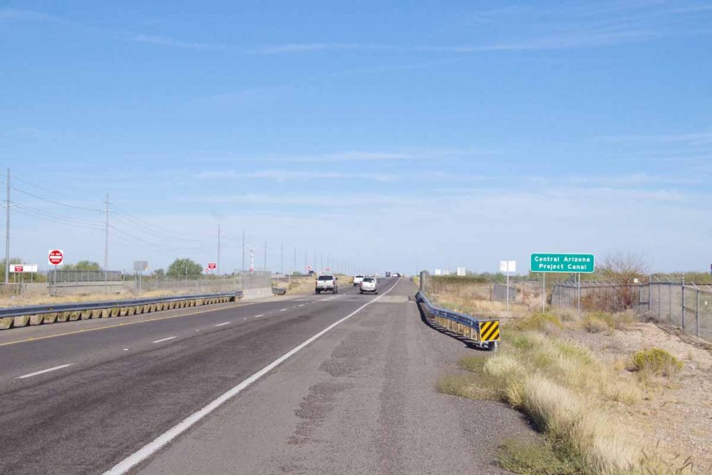
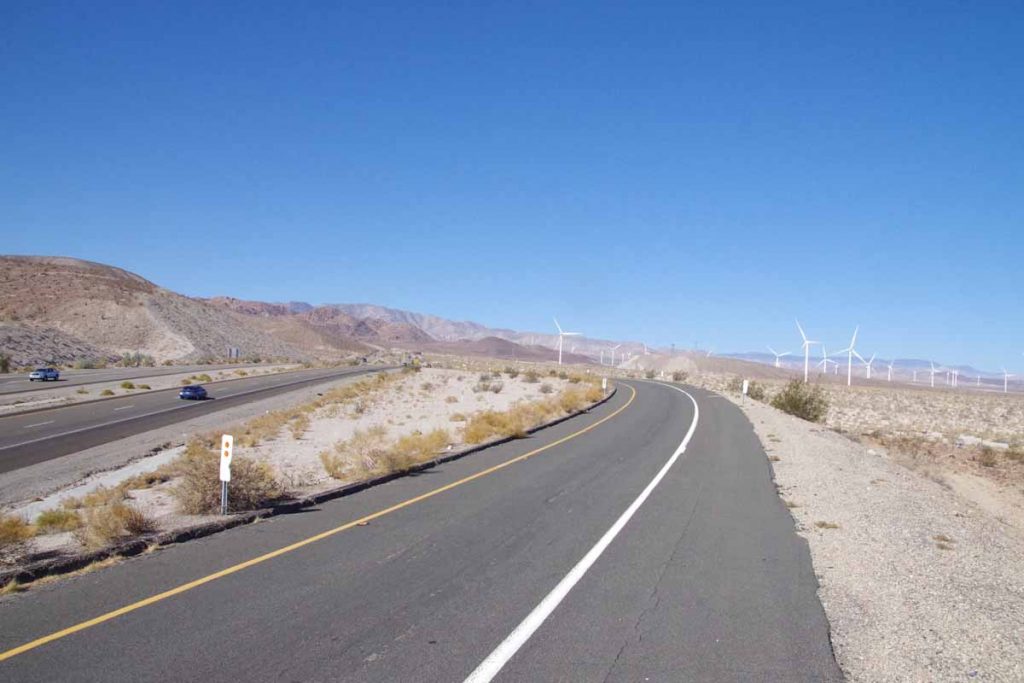
At 17 miles was Plaster City. This was mostly a large plasterboard factory and nothing else.
imgp4397
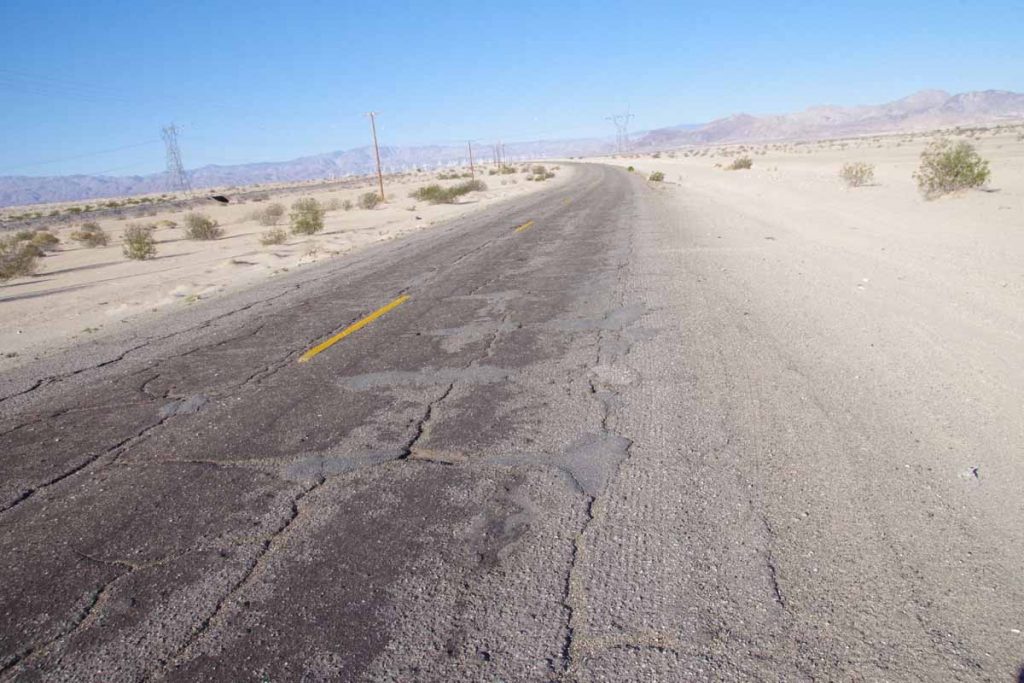
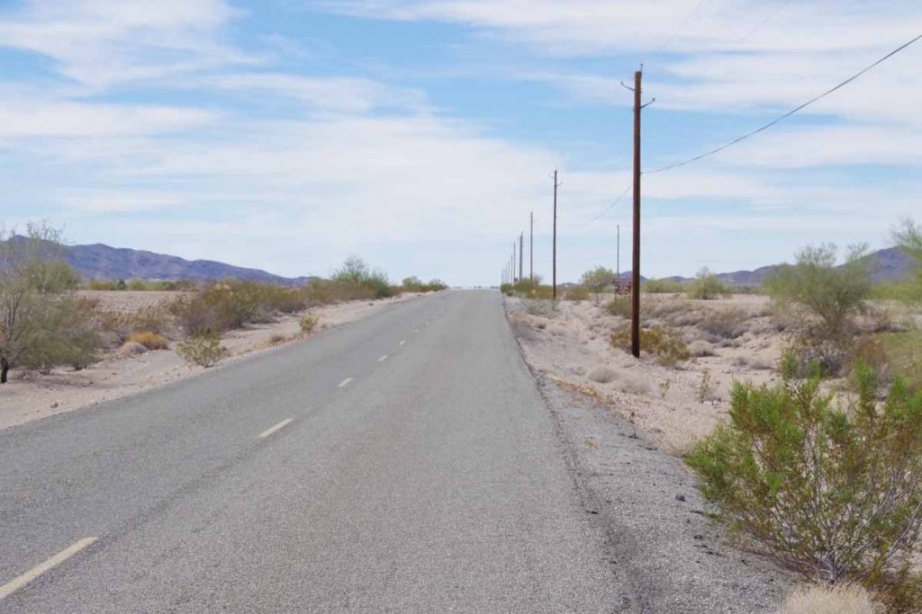
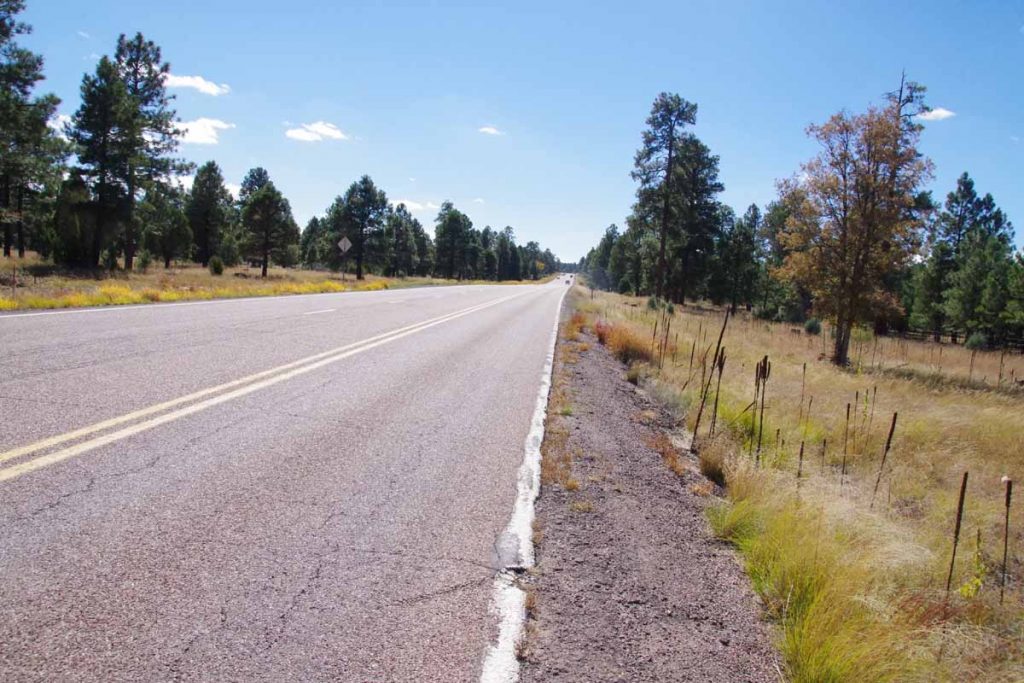
The road was rough both before and after Plaster City. However, my expectations had been set for something a lot lot worse. On my trip so far, at least half of the gravel roads have been rougher. I also thought, “this would pass for smooth road in Ukraine”. So while it wasn’t smooth pavement, it also certainly was better than I expected.
imgp4401
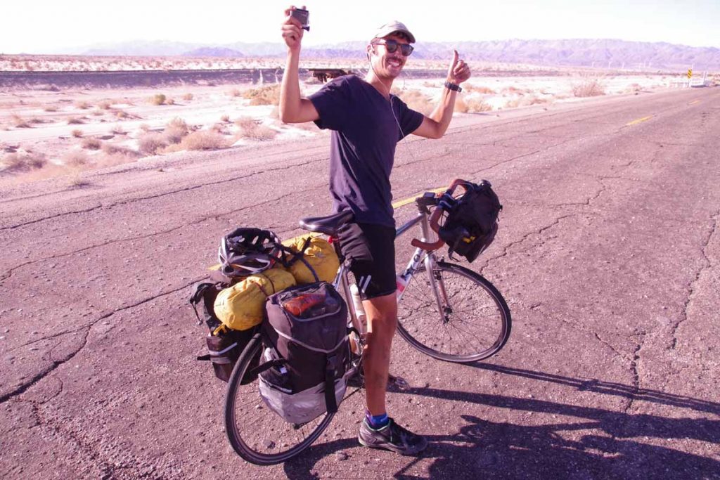
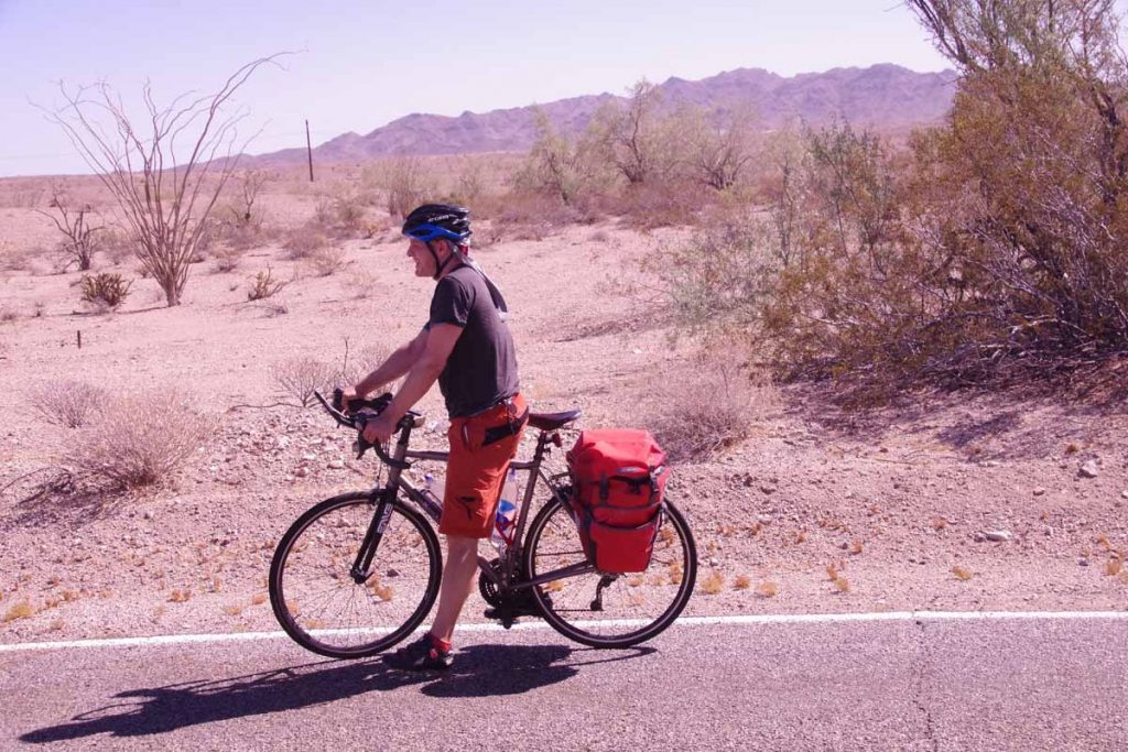
I met a cyclist here who was on an around the world trip on combination of motorcycle and bicycle. He was from the UK and had started with ~30,000km across Russia, Mongolia, Japan and other places before switching to a bicycle where he had ridden another 6,500km so far. His goal was to ride across USA to Florida and then circle back to the UK.
imgp4405
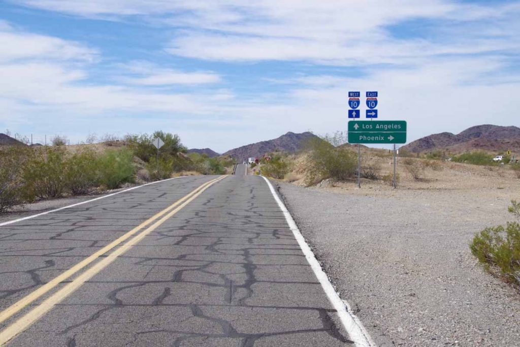
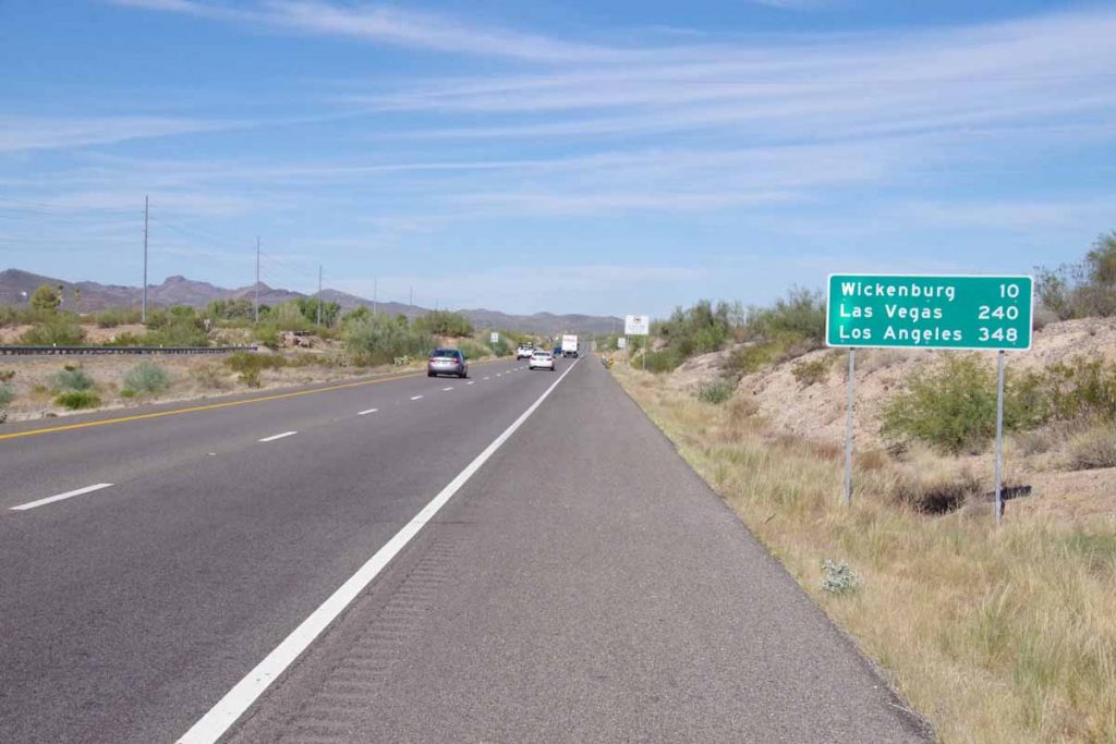
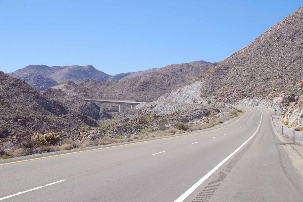
I cycled the remaining distance to Ocotillo. The bad road was done, and shortly the climbing and interstate riding would start.
aimgp4406
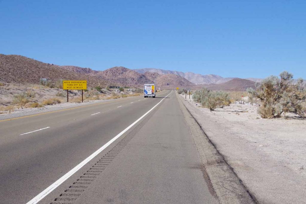
There were signs suggesting motorists turn off the air conditioning for next 10 miles of climbing to keep engines from overheating.

The temperature was just over 30C (86F) and no air conditioning for me.
imgp4407
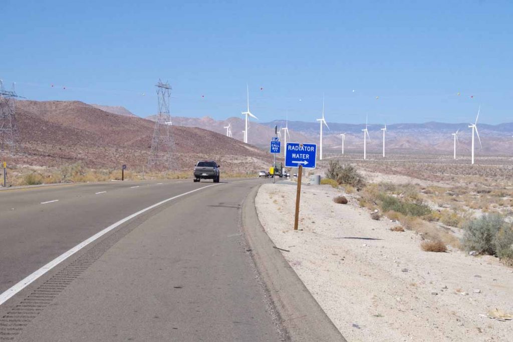
The next 10 miles contained 19 of these radiator stops where one could get water. I stopped at almost all of them. While I couldn’t drink the water, I could pour it over my neck and shirt and use it to stay cool. It was also a nice excuse for short break from climbing. I had gotten this idea from reports I read the previous evening.
imgp4408
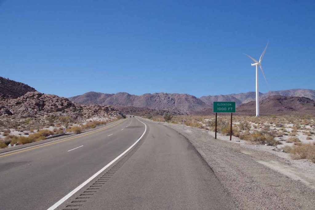
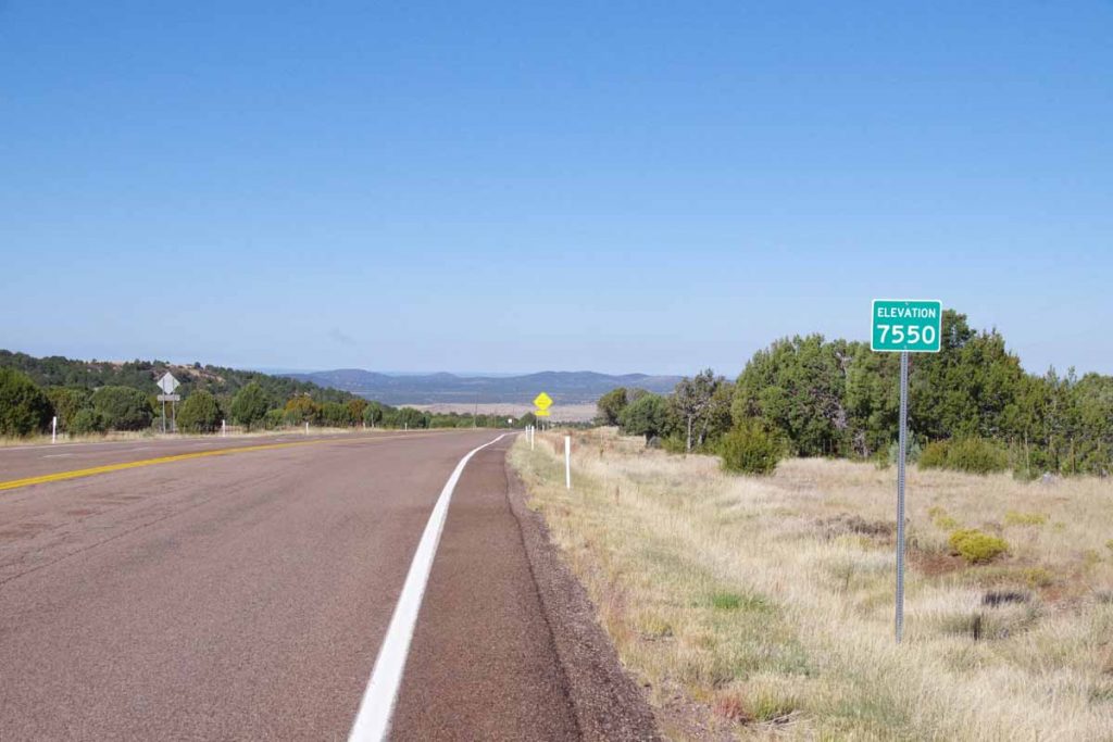
I passed the 1000ft level.
imgp4410
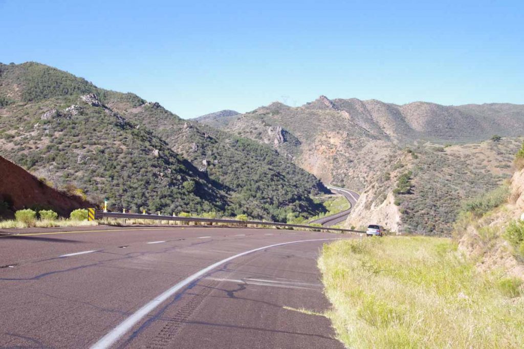
This was the second of two bridges. The shoulder was ~30cm wide (one foot) so it was narrow. On the first bridge the traffic all moved over on the second it passed a bit closer but nothing too scary.
imgp4411
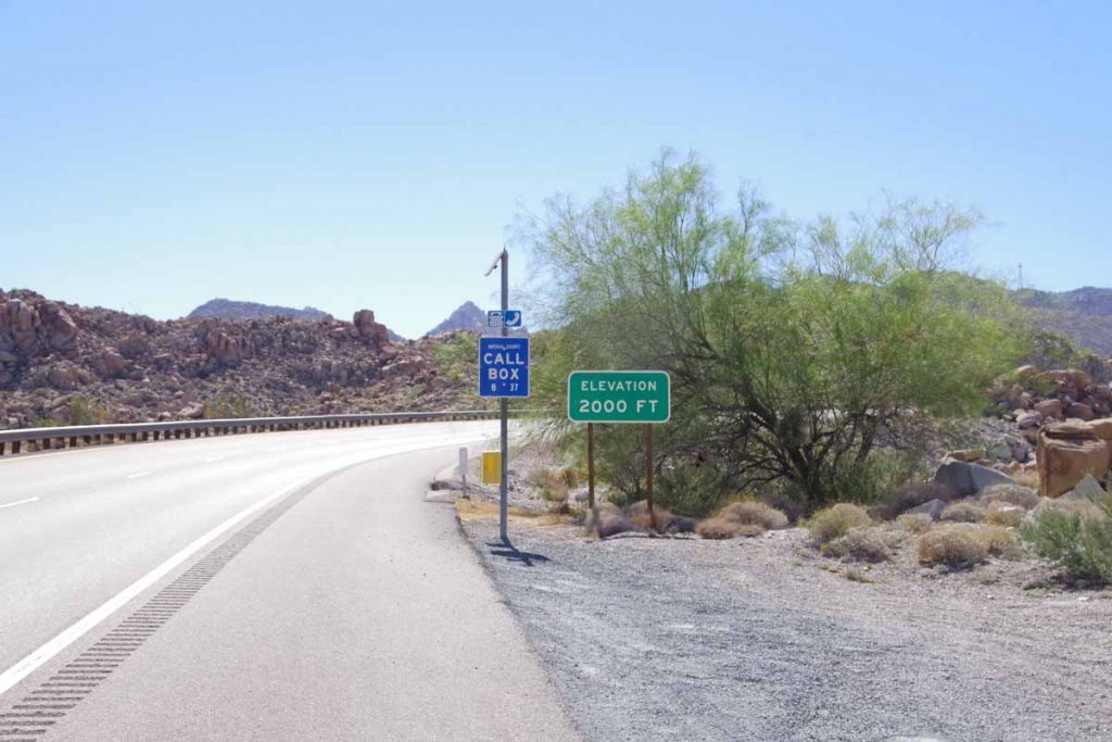
I passed the 2000ft level.
imgp4412
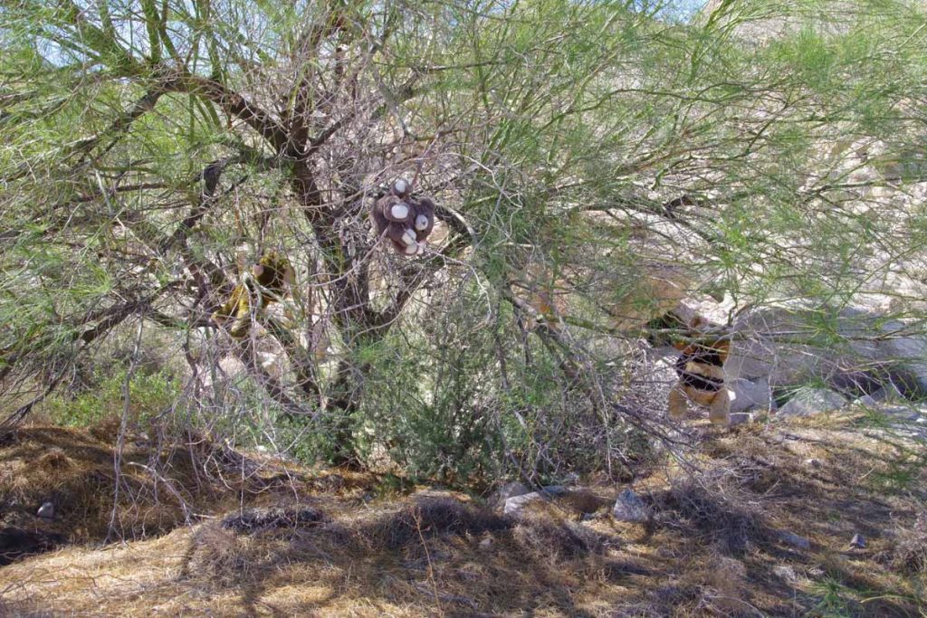
Here was a tree with three teddy bears suspended.
imgp4414
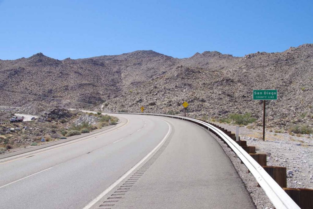
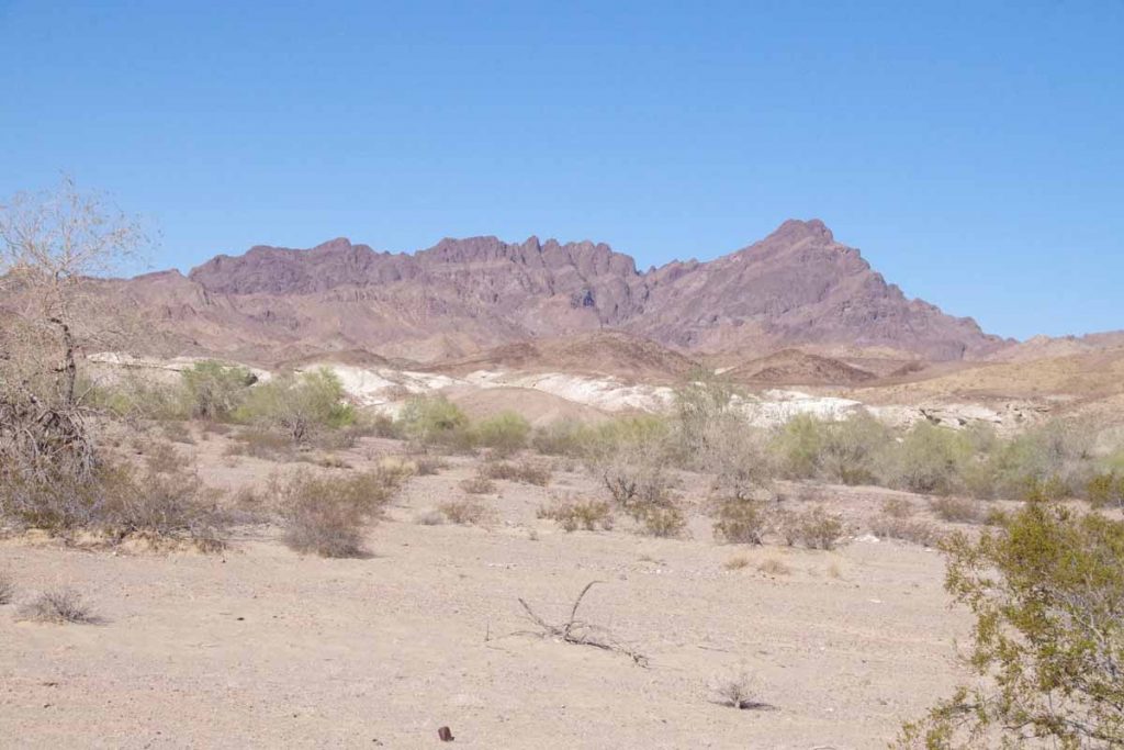
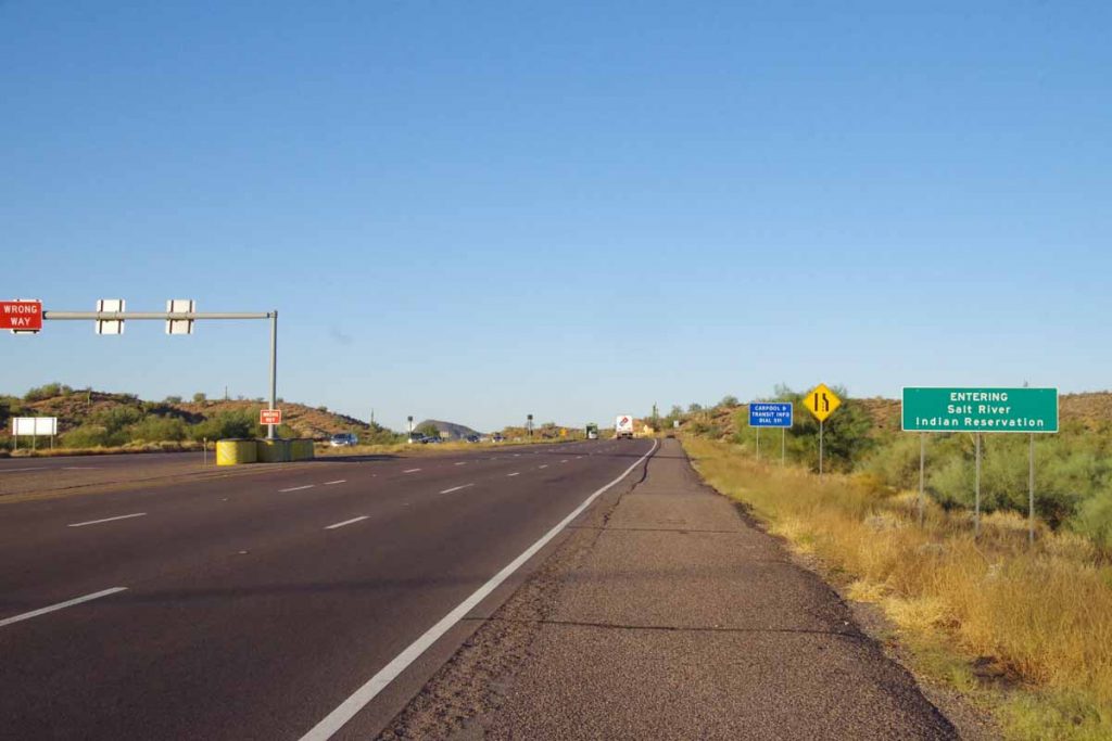
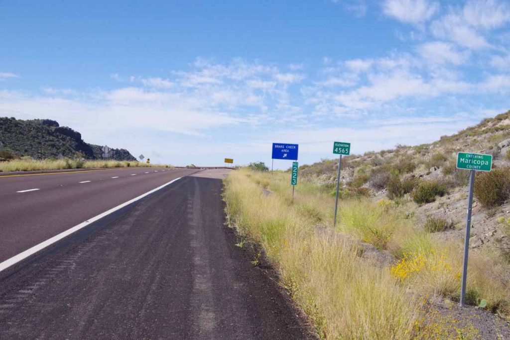
San Diego country, hooray!
imgp4416
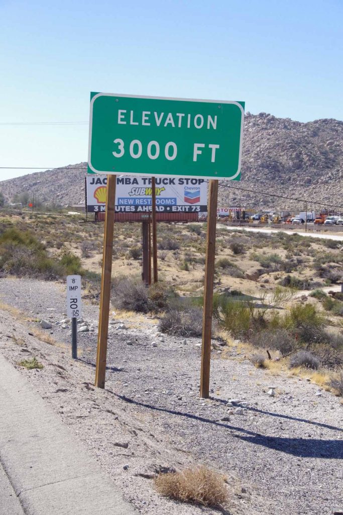
I passed the 3000ft level and shortly thereafter, left the interstate behind. Overall, these 10 miles had a substantial climb, but stopping and soaking with water helped. Despite being later in the day, it was cooler at the top than the bottom.
imgp4418
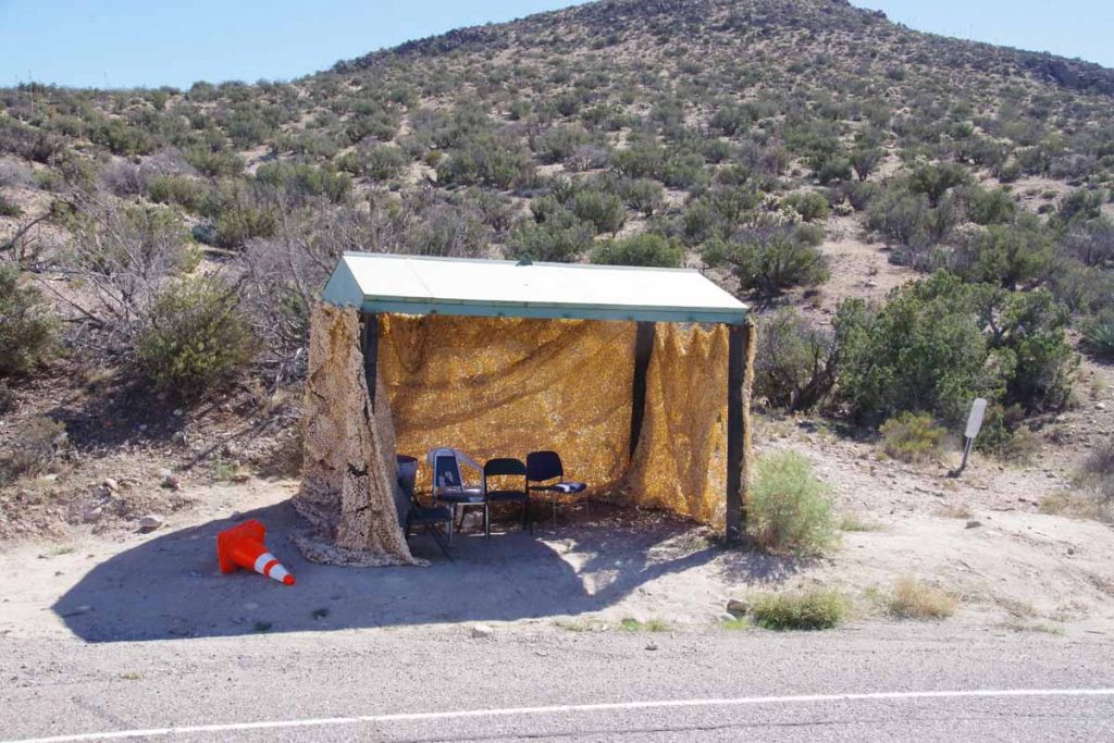
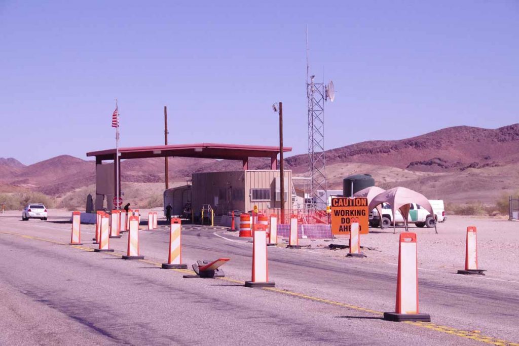
From here I followed “old 80” the last six miles to Jacumba Hot Springs. There was still 200ft of climbing and after that mostly descent. I also got quite close to the US/Mexico border. I saw many border patrol vehicles and believe this tent was also likely associated.
imgp4419
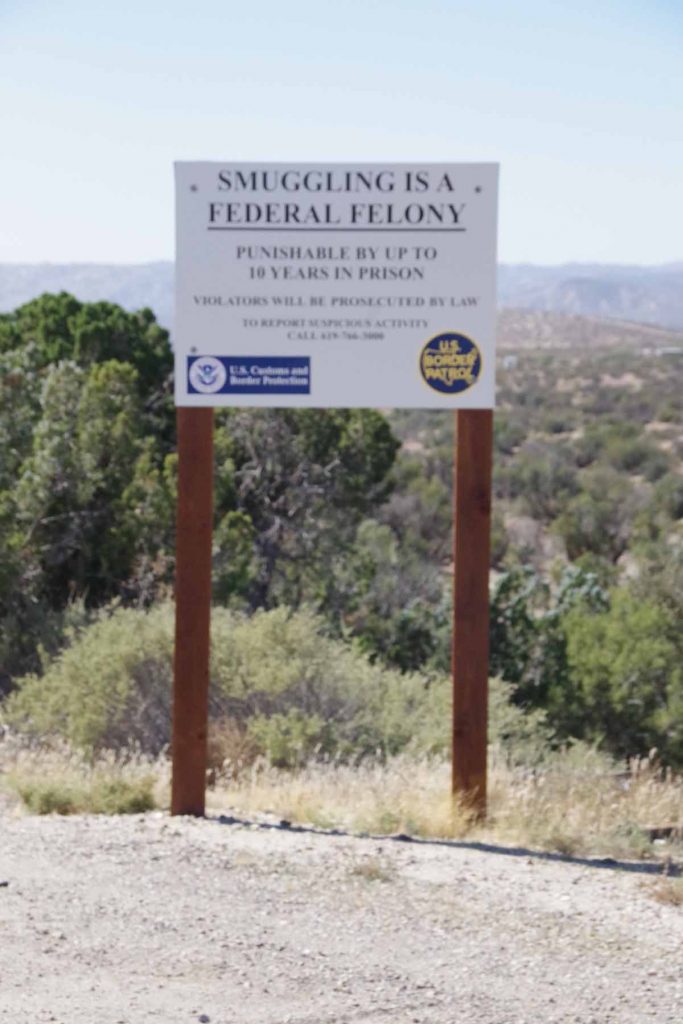
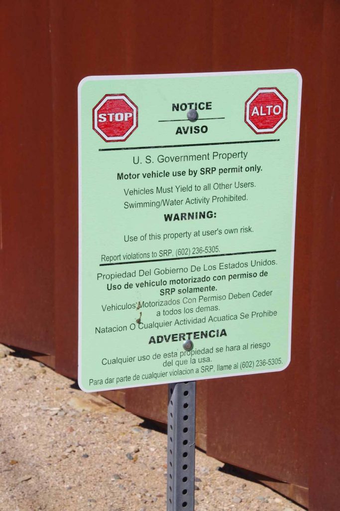
There were warnings about smuggling.
imgp4422
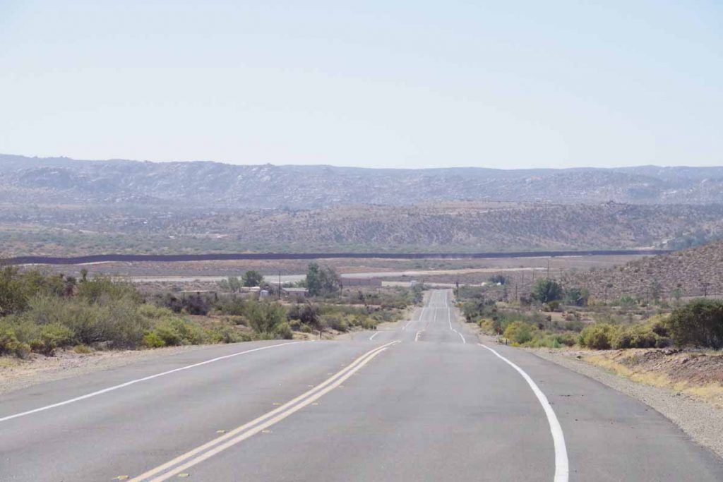
While not quite to Mexico, you can see it from here. The big line in the middle is a border fence and Jacumba Hot Springs is off just slightly to the right. I got there around 2pm, which was earlier than I had anticipated.

So is it better to know the road ahead? Today the advance reading set my expectations for a potentially much tougher day. The weather cooperated by not going much over 30C and not having to fight tough headwinds. The road was rough but not as bad as described. The climb was long but soaking with water multiple times kept cool. So I think still slightly better to know, but also need to be careful to not get too concerned on some of what I’ve read.

Posted in California, USA | Tagged bad road, border, climb

El Centro

A bicycle ride across the Americas Posted on 2016-10-18 by mev2016-10-18

Two days riding has brought me to the Imperial Valley.
imgp4335
The Adventure Cycling Map warns “Services are extremely limited between Brawley and Palo Verde and may be closed seasonally. Plan accordingly and carry food and water”. There were ~20 miles to ride to Palo Verde and sign above summarizes the challenge. Google told me there was a store at Glamis which closed at 3pm – so goal for first day was to get to Glamis before the store closed and then assess whether to continue to Brawley or camp nearby.
imgp4336
It was still nice and cool as I cycled past flat agricultural areas.
imgp4339
These guys were in process of unstacking the trailer and then loading a double-length trailer with hay.
imgp4342
There wasn’t much in Palo Verde, though for only $79,000 you could own this restaurant!

Across from the closed restaurant was “Wheelies” gas station. I topped off on water and bought two extra Gatorade for a total of ~6 liters – which I figured should be more than enough, perhaps even to cross the entire gap.
imgp4344
A few miles of farmland and then the route climbed up past dry desert landscapes.
imgp4348
The Border Patrol had this station to check vehicles coming the other direction.
imgp4349
I met a cyclist riding the Southern Tier for his fifth time. In this area the road was a bit frustrating since it went up and over a lot of the same hill. Rather than climbing elevation I would go up to 925 and down to 875 and repeatedly. Fortunately, not long after climbed to highest point and with fewer ups and downs. However, the wind started to pick up.
imgp4354
I came past a large mining area and then as I came close to Glamis these signs prohibiting camping.
imgp4355
Not sure if it was because of the tortise or the mines or other reasons.
imgp4358
At 60 miles I reached Glamis. Only 1:45pm so I made my 3pm target. I refilled on water and assessed the situation. It was only 27 miles to Brawley and I had enough time. However, the headwinds were now 15-20mph with occasional gusts. I decided rather than fight the wind, would see where I could camp.

Glamis was an interesting place – particularly attracting those who come to play in the dunes with ATVs, dune buggies and other vehicles. Seems like particularly focused on getting people out for a long weekend of camping in the dunes.
imgp4359
I asked the store owners and they said I was welcome to camp underneath the store awning. So I camped next to the jail mural and the saloon mural. It was nice shady place to camp. The railway nearby is active day and night with a train every 1-2 hours. I was told this was a north/south line heading from Los Angeles to Mexico. Otherwise nice place to camp.
aimgp4363
Second morning brought calm winds and beautiful morning. First seven miles were along the dunes.
imgp4369
A sand plow was grading some of the excess sand from the road.
imgp4371
After seven miles the dunes stopped and it was dry desert again.
imgp4374
Another seven miles brought me to edges of the irrigated regions.
imgp4377
Both dry dusty fields and green ones like this one.
imgp4378
Having a combination of feed lot and solar array was interesting.
imgp4380
Some fields had a lot of these birds.
imgp4383
I stopped in Brawley for early lunch and then cycled the last 16 miles to El Centro. It was getting warm and hence nice to have slightly shorter day. El Centro has a surprising number of motels and least expensive prices I’ve seen so far.

Maps tell me I am now ~125 miles from San Diego including climbing up and over the coastal mountains. Expect tomorrow to tackle the first of these hills and hopefully also get to slightly cooler temperatures. Also starting to make plans after reaching San Diego which roughly summarized are: (a) take train to Portland, OR to pick up my wheel (b) take train back to Austin to spend few weeks preparing/refitting for rest of the trip (c) Thanksgiving in Colorado (d) return to San Diego, cross the US/Mexico border and continue southbound.

Posted in California, USA | Tagged sand dunes

Blythe, California

A bicycle ride across the Americas Posted on 2016-10-16 by mev2016-10-16

Snowbirds and interstates were the themes for the day.
imgp4301
Waited until the cafe opened to have breakfast and then headed out. As expected today was warm (~33C, 91F) though not abnormal. Salome might have military connection as displayed by these missiles as well as map of middle east in the convenience store.
imgp4302
Pleasant cycling without too much traffic as the first 25 miles had many RV parks.
imgp4303
For example the KOA park above. The better ones seemed to at least have a few trees and perhaps other amenities nearby. It wasn’t yet high season as saw a restaurant announcing a November 9th opening as well as “help wanted”.
imgp4304
At seven miles I came to small town of Hope.
imgp4305
Here is the back of the same sign.
aimgp4306
Here is the local church.
imgp4309
Generally descent in this first stretch as I came below level of the Arizona canal again.
imgp4310
It looked fuller here.
imgp4313
As I came closer to Brenda, there were many RV parks.
imgp4315
This one also still had the cafe closed.
imgp4316
This one advertised rates for the season ($1300) as well as bingo and a gospel jam.
imgp4317
Here one could jam less expensively.

After seeing all these parks (and more), I stopped in Brenda for a bite to eat as well as to understand how this all worked. The clerk told me:

  • Brenda has a population of 200-300 year round and 800-900 at peak snowbird season
  • Snowbirds are arriving now and almost all will be here by Christmas. December is particularly popular month for arrivals
  • January and February are busy and then by March and April people start departing again.

So now we are at start of the season as the parks are all attracting new residents.
imgp4319
After Brenda, US-60 merged onto the interstate (I-10) and I had 11 miles of interstate cycling. This road is main route between Phoenix and Los Angeles and it was busy. It was also starting to get warm.
imgp4323
You can see Quartzite in the distance.
imgp4325
A few more RV parks here, including this one with high-wheeler bicycles.
imgp4326
If you run for Mayor, it seems to be important to tell people you are a “Year Around Resident”.

Had lunch in Quartzite.
imgp4327
Initially the route was six miles of a nice small desolate road before
imgp4330
Getting back on the interstate for another 12 miles. While I had done small bits of I-25 (New Mexico) and I-15 (Montana) on this trip, this interstate seemed a bit more aggravating. I decided to do a count of the next 100 vehicles that passed in the right lane:

  • 62 automobiles
  • 35 trucks
  • 3 large RVs towing vehicles behind

All this in slightly less than 5 miles. This was only vehicles in the right lane and I didn’t count if they had moved over to left lane before passing. I guess it was a bit more aggravating because of more traffic (other interstates more of the vehicles could move over to left), 75mph speed limit (vs 65mph in New Mexico), lots of trucks and later in the day and a bit warmer. Nothing dangerous, just a bit annoying.
imgp4332
Fortunately, after 12 miles of interstate riding, the exit brought me to the frontage road and then the pedestrian bridge over the Colorado River. Also the border to California!
imgp4333
More official welcome sign a few miles later. Cycled into town and nice to finish the day with a motel. From here there is a bigger gap to the next town so likely some desert camping in between.

Posted in Arizona, California, USA | Tagged hope, interstate, snowbird, state line

Salome

A bicycle ride across the Americas Posted on 2016-10-15 by mev2016-10-16

Today a ride through the desert west of Wickenburg.
imgp4287
All day was on US-60 with reasonable shoulder and a lot less traffic than yesterday. I guess more of the traffic continued on US-93 rather than west on US-60 where the interstate (I-10) otherwise provides a reasonable alternative.

First three miles were in Wickenburg city and then wide open desert. First 12 miles were a gentle climb. Still saguaro cacti here, though fewer than I had coming into Phoenix.
imgp4288
Just on edge of town was a monument to the Wickenburg Massacre.
imgp4289
Text of the plaque for closer reading.

After it was cycling through wide open country. I stopped briefly in Aguila at 26 miles.
imgp4292
More places here to practice Spanish.
aimgp4293
Picture above gives reasonable view of desert landscape. Still an occasional saguaro but otherwise sparse plants, often with an area around them of bare soil. I assume the roots spread out to take in moisture from a wide area around each plant. A few spots had a low bush or two and I even came past an irrigated field, but most of the terrain looked more like above.
imgp4296
Wenden was 49 mile mark and while the bar above was closed.
imgp4297
Supermarket did have a few things for lunch. Wenden bills itself as “Gateway to Lake Alamo”. Looking at the map, this lake is ~25 miles north.
imgp4299
After lunch cycled the last few miles to Salome. A light breeze had picked up, but fortunately most of the ride without much difficulty from wind or heat. Above is a picture of their 9/11 monument.

Posted in Arizona, USA | Tagged desert, massacre

Wickenburg

A bicycle ride across the Americas Posted on 2016-10-14 by mev2016-10-14

Easy ride today as I left the Phoenix metro area and started back across desert areas. Three weeks ago, I had temperatures below freezing as I crossed Colorado mountains, now definitely at other end of the temperature scale. Overnight is at least 15C (59F) and often a bit warmer. Day time gets to 30C (86F) and sometimes slightly warmer.
imgp4274
All day today was riding along US 60, with the first 9 miles still going past suburban sprawl in towns of Surprise and West Sun City.
imgp4275
There was reasonable shoulder expect for short section of construction. Even the signs warning of the construction seemed to block parts of the shoulder.
imgp4278
However, after 9 miles, it looked a lot more like this. Here was a crossing of the Central Arizona Project Canal. As I understand things the canal is part of the largest and most expensive aqueduct system in the US. It carries water from Lake Havasu to southern Arizona. For all that expense, I was surprised the actual canal wasn’t particularly big.
imgp4282
I saw my first sign for Los Angeles and also one for Las Vegas.
aimgp4280
While the route didn’t have much in way of stores, there were occasional businesses like this one near Morristown. As I got close to Wickenburg, went into a bit more of a valley.
imgp4283
Unfortunately, also a ghost bike here. Ghost bikes mark spots of bicycle fatalities and this one was on a wide open road. Link to more background information.
imgp4284
Not much after that, found myself in downtown Wickenburg. Still early in the day, but will not be much after this for a while.

Posted in Arizona, USA | Tagged aqueduct, desert, ghost bike

Sun City

A bicycle ride across the Americas Posted on 2016-10-13 by mev2016-10-13

Spent the day crossing the Phoenix metro area. I’m not all the way through yet, but at least on the northwest side outbound. As cities go, crossing was straightforward, aided in part by a lot of riding on bike paths along the Arizona Canal.
imgp4255
Started back on US 87 with slight descent as I came through the Indian reservation and then to eastern parts of Scottsdale.
imgp4258
I crossed two larger canals, though access routes along them were blocked.
imgp4260
At 11 miles, turned west along flat open country.
imgp4261
A few miles later and I was on these large boulevards as I came into Scottsdale proper. Stopped for a bit at a McDonalds and figured out my overall routes. I was also waiting just a bit until the bike shops would open.
imgp4262
I found a shop named Bicycle Haus and was there when they opened at 10am. Yesterday I had noticed my front brake pads were pretty much worn. Still fine on the ride, but with a lot of the descent, their stopping power was diminished. So I had both front and back brake pads replaced. Also checked the chain which wasn’t very stretched yet. I was happy they were able to check the bike right when I came in.
aimgp4264
I now found myself to the Arizona Canal and followed it using the Google Maps instructions. Every few miles it seemed to have me switched sides. Also this part of the canal was not paved, but the hard-packed gravel was easy to ride. The Adventure Cycling route was a mile or two further south, I believe since they avoid gravel, whereas Google Maps bicycle instructions much more easily pick gravel roads.
imgp4265
Signs along the canal.
imgp4266
The intersections also seemed to have a lot of political signs. Definitely more now here in Arizona than I’ve seen elsewhere.
imgp4267
Around the 32 mile mark, I came past this Greek Orthodox temple and this also marked the point where the Adventure Cycling route joined for real – and the canal route stayed paved.
imgp4269
There weren’t many cross streets but pretty much most of them had these underpasses, which was nice to keep traveling along the route. There were homeless people in the cool shade of a few of these tunnels, but still enough room to travel past. The temperatures got up to low 90F (32-33C) so warm but not abnormally so. Gradually there were fewer tunnels and more streets I needed to cross normally. Eventually, got to end of the canal route.
imgp4271
Here the route brought me through some neighborhoods like this one.
imgp4272
What I did find interesting is more people driving on city streets with their golf carts like this fellow.

Eventually found myself at edges of Sun City and turned onto US 60. Major highway again headed outbound, but hopefully good shoulders and not too bad to finish departing the city. I’ve also now finished “map 15” of the adventure cycling route so 14 maps from here to San Diego.

Posted in Arizona, USA | Tagged bike shop, canal, crossing city

Fountain Hills, downhill part 2

A bicycle ride across the Americas Posted on 2016-10-12 by mev2016-10-12

Made it! 3553ft of climbing and 6677ft of descent and I’m on the far outskirts of the Phoenix metro area.
imgp4246
I anticipated a tough day and it was actually not as difficult as I expected. Two things that probably also helped is there was no wind and the warmer parts of the day I had some high thin clouds so it really didn’t get much above 90F (32C). I had enough water but if one is riding this in hotter temperatures makes sense to bring even more as there weren’t places to refill.

I started early not far from this “Indian bread” truck. Unlike a lot of other places, “Indian” here means native American, not south-Asian.

The route was pretty much a four lane divide highway all day. The first four miles had no shoulder but after that good shoulders all day long.
imgp4248
I started close to 5000ft and at the five mile mark started a good descent that eventually ended up about 3000ft not far from a place known as Rye. Rye didn’t seem to have any services other than ATV rentals. After this a lot of up and down between the 12 mile mark and the 30 mile mark. Up to 3800ft, down to 3400ft, up to 4500ft, etc. I’m glad I had started not long after sunrise as this meant the climbs weren’t yet too hot.
imgp4250
Above is a representative photo of one of those descents followed by climbs.
imgp4251
The road topped out a little above 4500ft as I crossed into Maricopa County. After this a good descent into Sunflower and over the next climb, I saw my first saguaro cacti.
imgp4252
I went from no saguaro to them being everywhere.
aimgp4253
Look up on the hill and you can see them all the way up.
imgp4254
There were still some good solid climbs and descents and this one at 45 miles I walked a portion. It wasn’t too steep to ride but was also nice to exercise different muscles for a change. After topping out at 2400ft, the last 12 miles were mostly a gentle downhill. Certainly a nice change as riding was easy and it wasn’t so steep that I needed to worry about braking.

Got in not too late into Fountain Hills. Some of my route today was on the Adventure Cycling Southern Tier route and now time to sort out how I follow this route through the Phoenix metro area and then further west.

Posted in Arizona, USA | Tagged descent, saguaro

Payson, downhill part 1

A bicycle ride across the Americas Posted on 2016-10-11 by mev2016-10-11

An easier and shorter ride today with time to prepare for tougher ride tomorrow.
imgp4237
Started out the day at 7500ft on top of the Mogollon Rim. It was perhaps 50F so still not very cold. After a short while, I came to local high point of 7700ft and at seven miles I stopped at the Mogollon Rim visitor center.
imgp4238
Nice views from here looking down over the escarpment.
aimgp4241
Followed by perhaps five miles of steeper descent to lose ~1500ft of elevation.
imgp4242
I now saw the escarpment from down below. As shown in photos there was wide shoulder as part of a four-lane divided highway.
imgp4243
This road went up and over a few smaller hills but mostly progressively lower.
imgp4244
Coming into town of Star Valley, this road then narrowed to a two-lane highway without much shoulder at all. Still quite a bit of traffic and with exception of one truck fairly well behaved. It also became a bit warmer as I reached town of Payson. Not quite sure what an “Elk crossing test area” means.
imgp4245
Still outside Payson, I came past this establishment which had me wonder how a steer was somehow the symbol for a topless entertainment complex – seemed a bit strange to me.

I climbed up and over the last hills and overall today was a descent from ~7500ft down to ~5000ft and a corresponding increase in temperature. As I’ve looked at Google Maps it tells me there is a further ~3500ft of net descent to the Phoenix metro area with a ride of -8000ft and +5000ft on my proposed route tomorrow. While that is a huge amount of downhill, it also is a considerable amount of uphill climbing on the way as well – so nice to have today be a bit easier. Also notice temperatures in Phoenix warmer than average (mid 90s vs. average of low 90s) so will lose those cooler temperatures that have come from staying higher as well.

What will be nice is rejoining the Adventure Cycling route – which actually joins the last bit of US 87 into Phoenix area. That route was changed from when I rode it in 2001. At that time, it went directly on US 60 to Globe, but I believe folks complained this route had a dangerous tunnel, no shoulders and a lot of truck traffic.

Posted in Arizona, USA | Tagged descent, escarpment

Forest Lakes

A bicycle ride across the Americas Posted on 2016-10-10 by mev2016-10-10

Cycling through resort areas with ponderosa pine trees and vacation cabins today. I’ve been cycling on top of an escarpment known as the “Mogollon Rim”.
imgp4225
Show Low continued as a sprawled out community with curb and gutter for several miles before I was on rural roads with sidewalks. Today continued with more traffic as I headed through rural areas.
imgp4230
Around 32 miles Overguard had more of a vacation feel to it. Local folks told me the summer was generally busier with summer cabins than winter with occasional snow. Sign above confirmed summer home sales.
imgp4232
One could buy either carved bears or carved aliens. A few miles later I came to Heber where I had lunch.
aimgp4233
This was also end of the paved shoulder and start of a ~1200ft climb further up the escarpment.
imgp4235
Near the top was the following small cafe and not much further Forest Lakes.
imgp4236
As a boy scout I recall both participating and organizing “snipe hunts”. A common scenario would have the hunters with their sleeping bag stuff sacks and perhaps some “bait” like toothpaste waiting to catch the snipes that were flushed out. When I saw pamphlet above I wonder if there was more I didn’t know or if I’m being set up to be fooled again.

Posted in Arizona, USA | Tagged pine trees, snipe

Show Low

A bicycle ride across the Americas Posted on 2016-10-09 by mev2016-10-09

Last night storms came through but overall less rain than expected from the front.
imgp4213
Beautiful morning cycling as I quickly left city limits of Springerville and was out in countryside. Today had increased traffic, even for a Sunday so expect Quemado was probably the most remote place. Signs told me I crossed 7000ft but just a few larger rolling hills today.
imgp4214
A sign told me to expect cross-winds for 7 miles. Fortunately, no wind.
imgp4215
Seven miles later, there was a second sign warning of wind for next seven miles. Fortunately, no wind.
imgp4218
Seven miles later, there was the third sign warning of wind for next seven miles. Fortunately, no wind.
imgp4217
Crossed up over a low rise. At about 25 miles (i.e. a little past seven miles after the third sign), started with a light wind, but no more signs after that. Came along some low pinon pines and so also not as severe.
imgp4221
It is election season and most of the signs I’ve seen along the road are typically for local candidates, e.g. county officials or school boards or similar. Also interesting to compare the states so far: AZ has probably the most election signage, NM has probably the least. In rough order I would say: AZ -> MT -> CO -> WY -> NM. I’ve also seen the occasional Trump/Pence signs but except for right near Santa Fe, haven’t seen and Clinton signage.
imgp4222
This was part of some road markings that said: “Don’t”, “make”, “me”, “lose”, “my”, “mind” with appropriate gaps in between. Not quite sure what that all meant.
imgp4223
There was more traffic today, but not quite sure what good this particular sign was doing. Without too much trouble, I found my way into Show Low. I had left an hour earlier on the clock since I was no longer in daylight savings, so also a bit earlier on the clock.
imgp4224
Show Low is a relatively spread out town. I did catch this mural on my way in. From here there are two routes to Phoenix: one via Globe and one via Payson. When I ask locals, they seem to split 50/50 on which route they take when driving.

Posted in Arizona, USA | Tagged no wind, signs

Post navigation

← Older posts
Newer posts →
©2025 - A bicycle ride across the Americas - Weaver Xtreme Theme
↑