↓
 

A bicycle ride across the Americas

from Deadhorse (SCC) to Ushuaia (USH)

  • Home
  • Plan
  • Blog
  • Photos
  • FAQ
    • Why?
    • Where?
    • What next?
  • Map
  • Equipment
  • Calendar
  • Countries
    • USA
      • Alaska
      • Montana
      • Wyoming
      • Colorado
      • New Mexico
      • Arizona
      • California
      • Texas
    • Canada
    • Mexico
    • Guatemala
    • Honduras
    • Nicaragua
    • Costa Rica
    • Panama
    • Colombia
    • Ecuador
    • Peru
    • Bolivia
    • Chile
    • Argentina
  • Weather
  • Links
  • Contact
Home→Tags tire

Tag Archives: tire

Ennis, fly fishing town

A bicycle ride across the Americas Posted on 2016-09-03 by mev2016-09-03

IMGP3629
Today a nice ride from Whitehall to Ennis. The cold front had come through last night with some gusty winds and rain drops, but overall not much cooler this morning. Whitehall is known for its murals of the Lewis and Clark expedition and I saw a few as I passed through town.

First eight miles were on secondary roads parallel to I-90. After that I turned south and started to see more signs pointed for Yellowstone.
IMGP3632
Next 15 miles were on MT 369 which had a few climbs through the hills. It was an agricultural area and in a few spots, I could smell fresh cut hay. Also passed along a sign for a potato grower.
IMGP3635
These three big tractors came past as I moved off the road to leave plenty of room.
IMGP3640
At fifteen miles I noticed my rear tire being squishy soft again. Looks like one of the inner tire layers has a bit of a tear. Might still be ok in emergency, but decided to swap in my spare tire.
IMGP3641
At 22 miles turned south on US 287. There was a 3-4 foot shoulder that also had a rumble strip. Most of the time, I could ride to right of the rumble strip and in any case traffic was fairly light.
IMGP3642
Harrison had this nice little store and excuse to stop. Decided I would try for lunch in Norris, 11 miles further though. Unfortunately, reaching Norris, the bar only started serving food after 2pm. So back on the road.
aIMGP3644
Next 9 miles to McAlister had a fairly large hill. This is a view part way up the hill and looking back.
IMGP3645
What goes up, must come down and nice to see this sign as I reached the top.
IMGP3647
Part way down, I met this cyclist coming the other way. He had started in New Jersey and was getting closer to his end destination of Seattle. I’m far enough off the GDMBR, but now closer to the “Transamerica Trail”, so expect I might see some other East/West cycle tourists here.

At the bottom was McAlister and chance for a late lunch. After that only 6 more miles to Ennis to end a nice day of cycling.
IMGP3650
Ennis has this statue of a fly fisherman on the main intersection and this theme seems play here.
IMGP3652
Several shops where you can buy from a large assortment of flies.
IMGP3653
A fly fishing festival being held over Labor Day weekend.
IMGP3654
A number of large painted fish placed at different places around town.

I booked a room for two nights and plan to take a rest day here. Weather forecast now calls for ~60% chances of rain for both Sunday and Monday. This looks like a fairly arid region and is only 4900ft, so not sure it will be particularly severe here. However, still a nice spot to get a rest day before cycling closer to Yellowstone and higher elevations.

Posted in Montana, USA | Tagged fly fishing, potatoes, tire

Whitehorse, rest day

A bicycle ride across the Americas Posted on 2016-07-13 by mev2016-07-13

Today decided to avoid the bike and instead become a tourist.
IMGP2938
This area has been shaped by several events from the past, particularly the Klondike Gold Rush and the construction of the Alaska Highway in the second world war.

Gold was found near Dawson City in 1896 leading to ~100,000 people “stampeding” on their way to riches and fortunes. Problem was the gold was very remote, ~500km north of here along the Yukon River valley. Steamships going up the Yukon were slow and only could go some of the year. Hence, many of the folks on their way to the gold fields went first to Skagway, Alaska where there is deep water port and then just a matter of climbing ~3000ft over the coastal range, building a boat and floating down the Yukon.

The Canadian RCMP wanted to make sure those traveling had sufficient goods to survive and hence enforced particular limits amounts of flour, sugar and other goods (link from previous bike trip) – the total weight usually totaling to a ton. All of this had to be carried to top of the passes, requiring many trips. By 1900 a railroad was built to top of the pass and then on to Whitehorse. While the largest boom of the stampede was past, that railroad continued to run until 1982 including a particularly busy time in WWII to help construct the road.

By 1988, the railroad was opened back up – but this time for tourists. My goal for the day was to take a tour on the railroad as well as visit Skagway.
IMGP2945
The railroad lines into Whitehorse have been abandoned, so we started with a bus ride. Down the Alaska Highway and then on the Klondike Highway past Carcross where we took a short break. Carcross retirement home shown below.
IMGP2956
At Frasier we boarded the narrow gauge railroad. This was 27.7 miles from Skagway.
IMGP2958
After a short climb we came to the top of White Pass as well as the US/Canada border. Below are flags from US, Alaska, British Columbia, Yukon Territory and Canada.
IMGP2976
It was a rather scenic ride down the valley. One could see the narrow tracks, steep cliffs and great views as the train slowly inched its way down.
IMGP2982
About two hours later we found our way down to sea level and in the town of Skagway. It took a bit to clear US customs and then I was in the town. I think Skagway is a rather strange town.
IMGP3009
A beautiful scenic location, but also extremely influenced by the ~900,000 visitors each summer that come from the cruise ships that dock in the harbor. As a result, everything in the first eight blocks seems to be oriented towards having these cruise ship passengers get off their boats and buy or do something to get their Alaska experiences or souvenirs. In 2000, I did a cycle trip from Haines to Skagway and then I remember a preponderance of moose towels for sale.
IMGP3024
By now there seem to be a number of different things: (a) gold and jewelry (b) T-shirts, hats and other types of apparel (c) food (d) tours or quick experiences, e.g. Sockeye cycle would haul you up the road and let you ride down (e) various knickknacks in the “Alaska” category like towels, magnets and similar.
IMGP3015
Skagway can handle up to four large cruise ships at a time. Today was a “four ship day”. I was told every other Sunday was a “one ship day” but other days are all busier. Signs on the load streets suggest this madness all lasts from May 1st to October 1st and then Skagway somehow becomes something different.
IMGP3011
I did find the local bicycle shop (Sockeye cycles) and was able to buy a tube here. A brief bit of background. While today was a tourist day without cycling, I had tried installing a new front tire last night. The tire stayed briefly on and then slipped off the rim, “pow!”. Yikes, hopefully just bad mounting on my part, but I was a bit cautious. I put a new tire back on and partially inflated (30 psi) and made sure all was seated well. This morning before I left, I increased to 50 psi. After coming back from the tour, I went the full 70 psi and cycled unloaded some around town. It does seem to be ok.

However, at Sockeye cycles I was able to get an extra tube and also noticed they sell good 700x35C Schwalbe as well.
IMGP3027
On the way back we stopped briefly in Carcross and then back into Whitehorse. Too late for local sport shops to be open, but there is a large Canadian Tire store that seemed to have most of what I needed. Overall a fun and different day as a tourist.

Tomorrow will pack up and back on the road. Expect approximately five days from here along the Alaska Highway to reach Watson Lake (two to Teslin and three from Teslin to Watson Lake).

Posted in Canada, Yukon | Tagged railroad, tire, tourist

Whitehorse, riding to the big city

A bicycle ride across the Americas Posted on 2016-07-12 by mev2016-07-12

I figured I would ride the 100 miles from Haines Junction to Whitehorse in two not very difficult days. I had cycled this road twice before both times in a day, but even then it was a long day.
IMGP2921
It was a cool morning and all was riding well as I departed around 7:30am. Past the airport and soon in the more rural areas. However, I did notice a few more “subdivisions” in this segment, so looks like more people are moving or putting summer cabins here. Around 15km, I could see a small patch of wet pavement ahead. Rather strange thing as I cycled into the sprinkling rain on the pavement and then 3km further it was dry again. It was as if a rain cloud had chosen just this small part of the road to water. Looking back I could see the rainbow in photo above.
IMGP2923
Otter Falls was at 32km and good spot to have a real breakfast. Friendly waitress who suggested I take the road past Champagne rather than the main road. Also a friendly and curious dog who mostly was trying to figure out if I’d give it a treat. The pavement was still good to this point, though started getting more chip seal after this. A few small hills to go over but overall going fast than previous days.
IMGP2924
At 59km signs told me of 8km of road construction. Lots of dust here and a hard surface that was tougher to ride. Fortunately, at 60km was the turnoff to Champagne. This was the old road until 2002 when a bypass was constructed. Champagne was a native (First Nations) village that was 5km into the road. This route was great! Not only was there no traffic, but the chip seal was similar in surface to the main Alaska Highway. I also got to skip 7km of dusty dirt road. There were two short steep hills but nothing too bad.
IMGP2925
The town of Champagne had a tourist information sign as well as this building with collection of hubcaps. Presumably, the collection is growing less now.

It was another 10km along the Champagne old road until I rejoined the Alaska Highway. I figured I would go a bit further and then find a spot close to water and camp for the night. Still early, but this way I would split the ride into two easy segments. At Mendenhall there was sign for B&B/Cabins that were now “closed” and at 90km was a wayside rest area but signs for no camping as well as no water.

However, 2km further the road crossed Stoney Creek. Found a lovely camp site where a side road went up to the creek and set up tent to relax for the afternoon. While I was there three different vehicles pulled up. Folks got out and either filled up water jugs and/or let a dog loose to frolick in the water. Apparently, this is where folks in Mendenhall subdivision get their water.
IMGP2930
Next morning got my bags together and set off a little past 7am. Right now I’ve got four panniers and am working through how I might reduce things to two panniers for the Great Divide Route. I should be able to do it, but will need to carefully sort through what I’m using and what not.

Start of the morning always seems to go quickly with a lot of energy and fairly quickly rode past the Takhini River Bridge.
IMGP2932
This area has a region known as the Salt Flats where local water has become very alkaline and also a number of small lakes such as the one above. Either the hills increased a bit after this or I my early enthusiasm was wearing less but was getting more tired once I passed the city limits sign.
IMGP2934
near 45km. However, city limits doesn’t mean city and I had more than 15km to go. Whitehorse struck me as an interesting small/big town. In the next section the town was small enough that they could list multiple signs with services: first the gas stations, then the motels, then the other services, etc. However, this went on for nearly 10km along the road and hence the big part of it.

Without too much difficulty, I got myself into the city center and found a motel. This is the first town in 1000km with a Walmart.
IMGP2935
More importantly, I got several key items in my shopping list: a tire, a tube and shoelaces. There are two bike shops in town.
DSCF1248
I stopped by both and was impressed that both had reasonable Schwalbe foldable tires. My front tire went flat just as I went to the motel, but plan is to put a new tire in the front, get ride of the one with sidewall tear and use my old front tire as a spare [there will be a quiz :)]. That should last until next town with a bike shop which I’m told is Smithers BC ~1250km from here.
DSCF1249
I was even impressed that the town is big enough there are bike lockers to rent and store a bike. I’ve wandered around to the Walmart, past the downtown as well as visited both bike shops. Plan for tomorrow is to take a rest day here and be a tourist before doing the next section to Watson Lake. It is nice being in a big city even if the population is ~25,000 or so.

Posted in Canada, Yukon | Tagged bike shop, rainbow, tire

Tok, starting down the Alaska Highway

A bicycle ride across the Americas Posted on 2016-07-04 by mev2016-07-07

DSCF1241
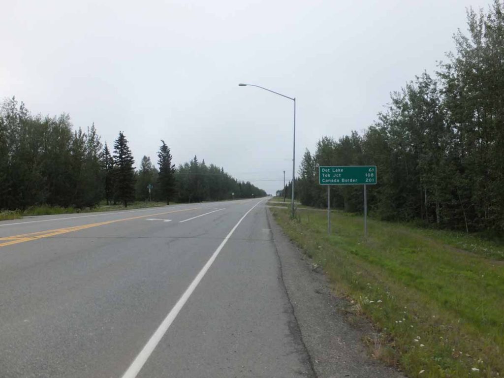
Theme for last two days has been “riding to Tok”. It was nice and restful in the motel but particularly appreciate ability to pull the blinds and get some dark. I didn’t get on the road until 7am. I cycled to the road junction and sign above gives the basic overview: 108 miles to Tok with an intermediate point at Dot Lake. Hence, the general idea was to get to Dot Lake the first day and then ride into Tok the next.

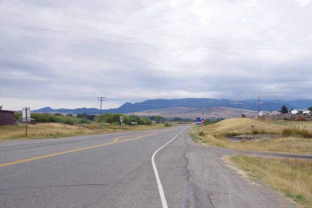
The road was flat, smooth with a very gentle incline. I saw a moose crossing the road in far distance but not close enough to get a good shot. Otherwise not extremely scenic as the clouds obscured the Alaska Range and otherwise was a flat road through the forest.
DSCF1242
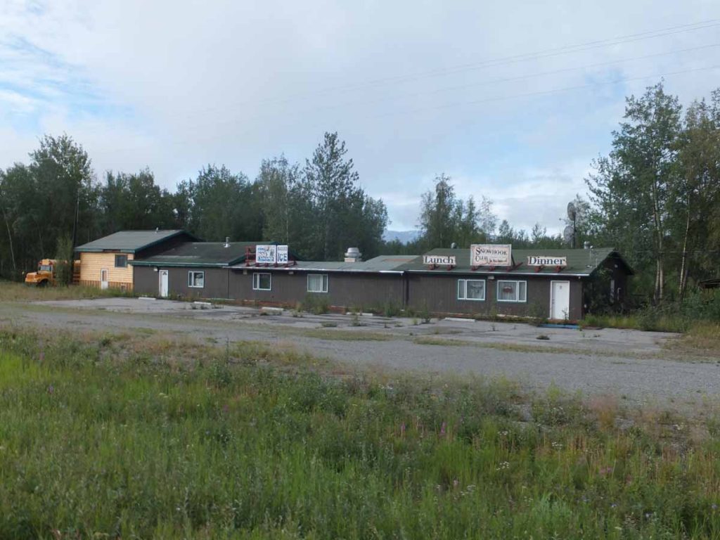
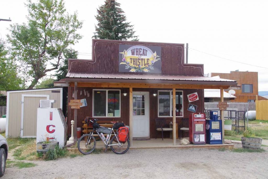
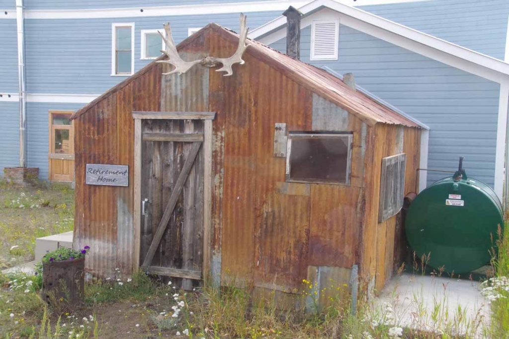
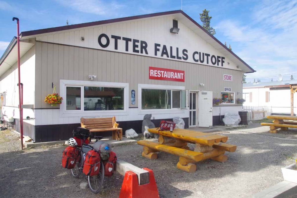
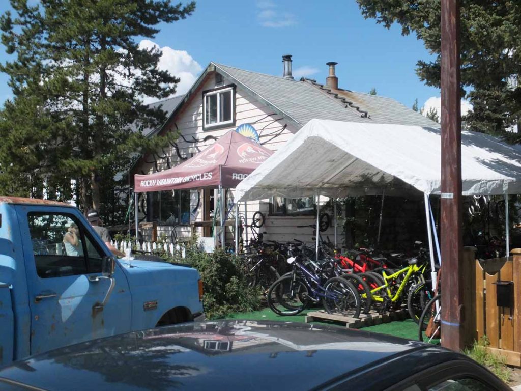
Ten miles out, I came past the establishment at photo at right. During my last trip in 1997, it was named “Cherokee Lodge” and I had stayed overnight. Several of the places I stayed before no longer have lodging. I get the sense the largest population passes through with RVs and others might stay in other places, hence some of the older lodges have gone to other uses.

It is interesting comparing notes with my trip from 1997 as can tell that I’m not quite a strong in cycling as I was 19 years ago. Some is probably also myself and bicycle are a little heavier than on that trip. However, still gives me some interesting comparison points.

At 18 miles was another spot indicated “Silver Fox Gas and Snacks”. Again, didn’t look like much to stop since the pumps were automatic and the associated store really wasn’t open. Still useful to keep in mind as hard to tell in “The Milepost” how many of these establishments are actually places to stop.

DSCF1243
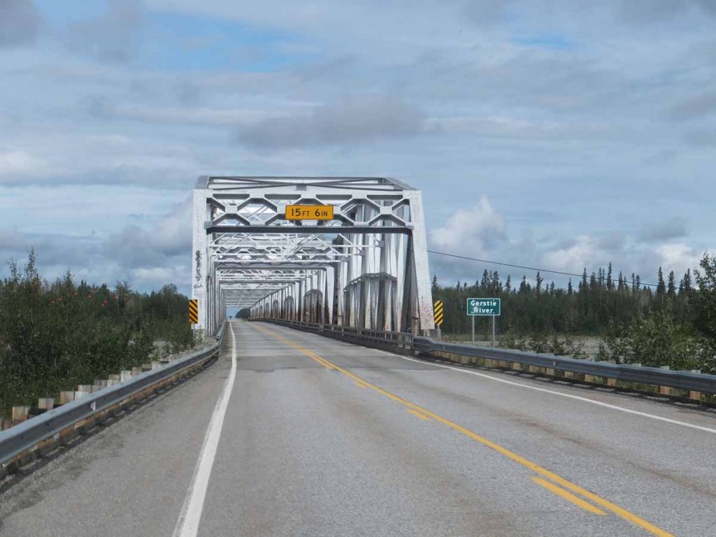
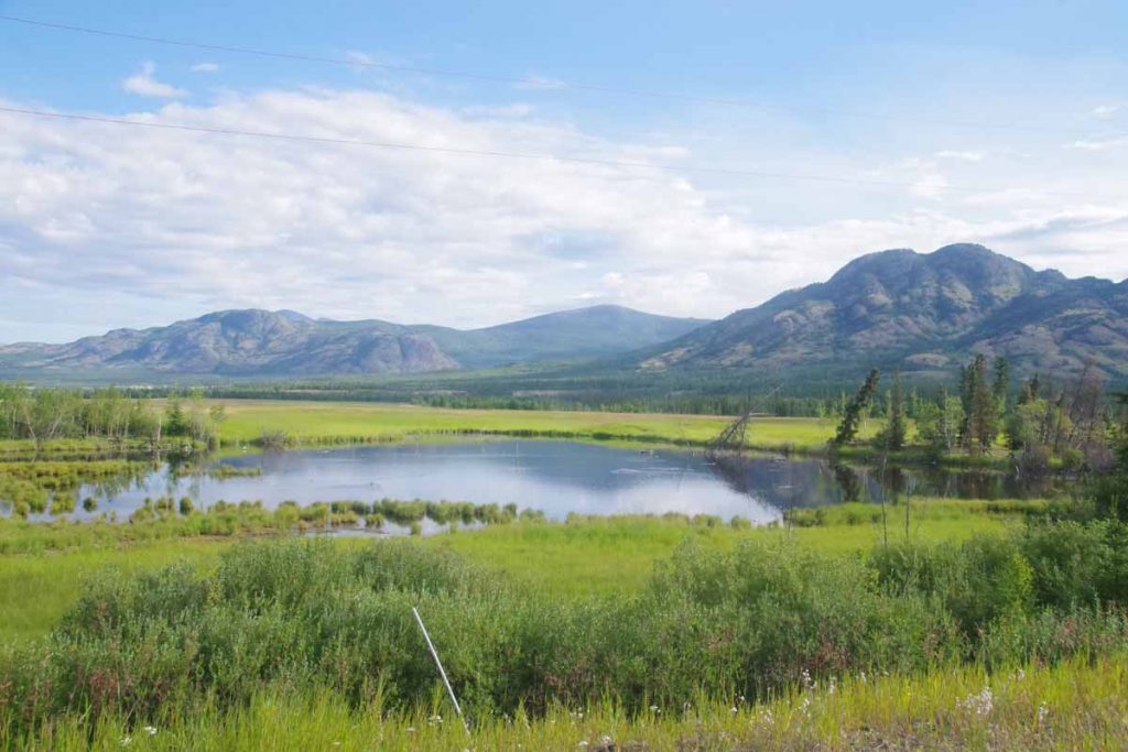
The road crossed the Gerstle River near mile 25. An impressive bridge shown above. What I was at least as surprised about was the river channel was rather large with a braided river going down. There was plenty of sediment and the channel could wind back and forth. This would make it more difficult to filter water since filter would quickly get clogged. Fortunately, I had plenty of water otherwise. In general, I tried to camp close to streams so I could fetch/filter some extra water. North of Fairbanks there was water everywhere and not much difficulty. Since then, one pays more attention to the little streams for water quality.
IMGP2802
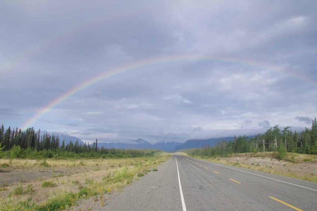
After Gerstle River some more ups and downs. Also the road seemed to have more deep cracks. Thump, thump. I cycled in the lane (and then checked my mirrow to get out before traffic), but still some jarring thumps. Also had a brief shower before reaching Dot Lake just around 2pm. Overall a nice and not too difficult ride.

IMGP2799
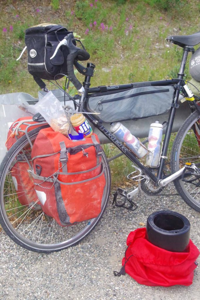
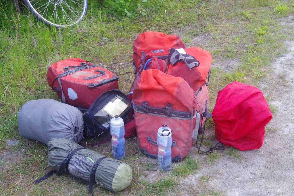
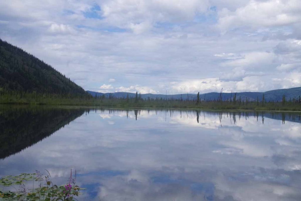
Photo above was my lunch stop. Leaned the bike against a bridge support. Unloaded the bear proof container in black and got out the crackers and peanut butter.

IMGP2801
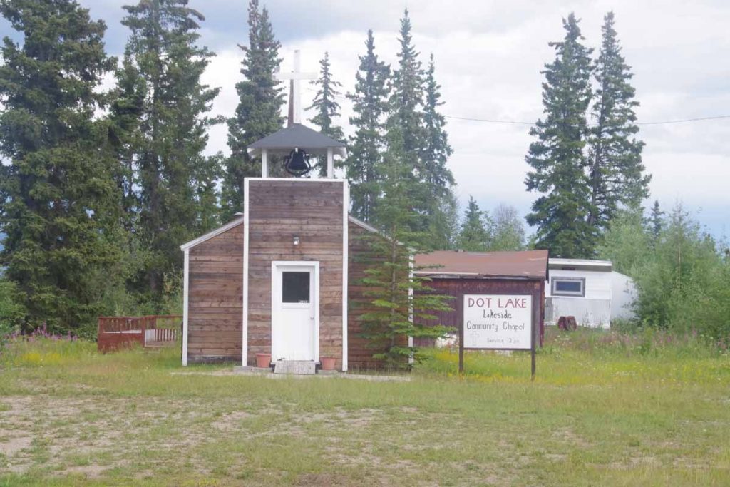
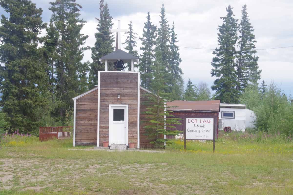
Services had just started so I went into the church. There were five pews and total of seven adults and three children. Initially they seemed to mostly work through different hymns, some by request. At some point realized the pastor had been called away on a semi-emergency and he came back in the middle. He gave brief remarks about Psalm 15 and then otherwise prayer requests and things people were thankful for. Overall a nice service and fun to catch it in the act, particularly in this small church.
IMGP2800
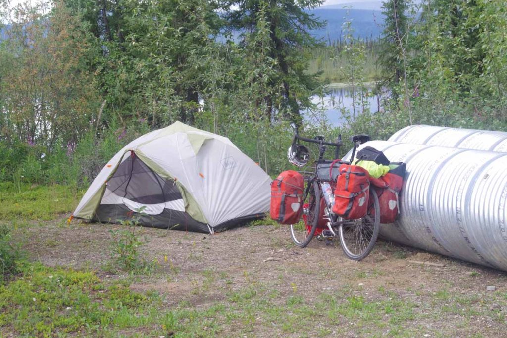
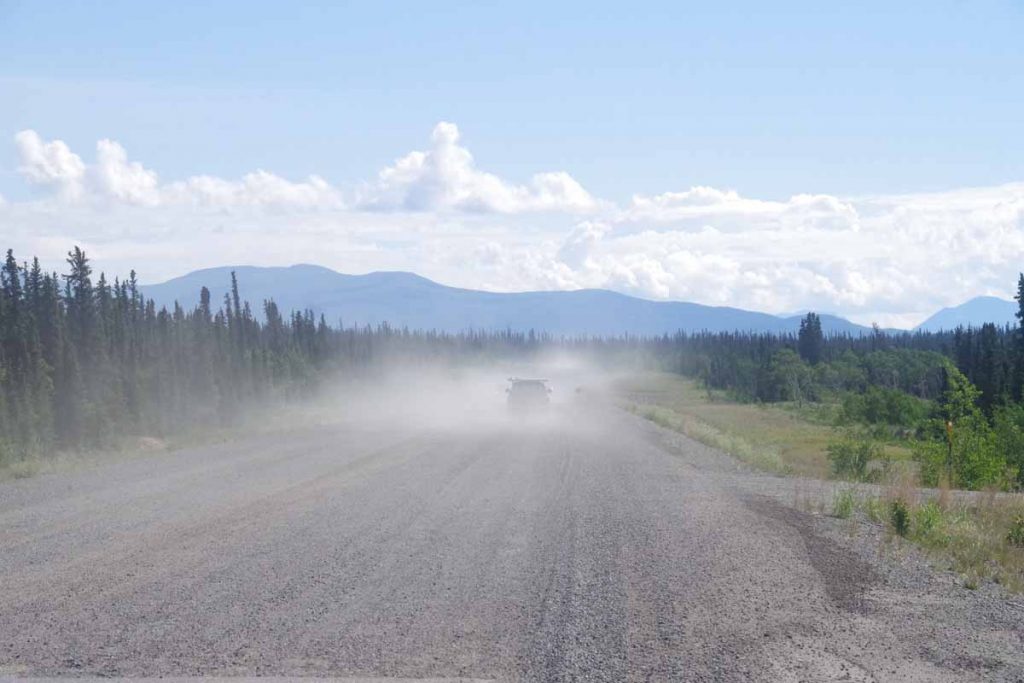
After service, I asked if it would be OK to camp by the lake. No problem, so I set up my tent not too far from some construction piping. There was a 13-mile segment of road construction around Dot Lake, but fortunately other than some gravel patches nothing too bad.

It rained overnight but at least clear in the morning. It was light overnight and in the morning I had a good chorus of howling dogs My guess is these are the winter sled dog teams. I walked briefly to the post office (closed) and otherwise saw the school in town. Not too much else to describe this town.

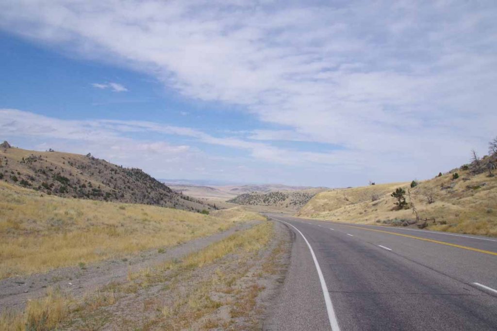
Next morning, 4th of July I was on the road not too late. I cycled the remainder of the construction. Again some gentle rolling hills today but nothing too severe.
IMGP2808
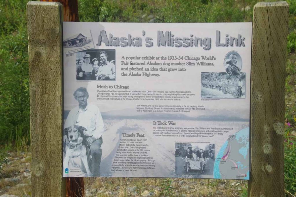
There was a nice rest area 17 miles in with a good set of displays including this one describing early promotion efforts at the Alaska Highway. While it had been promoted for a while, the second world war was impetus to quickly build the highway (in something like 10 months), though it wasn’t until 1947 that it was open for civilian travel. Since then it has been paved and greatly improved.
IMGP2809
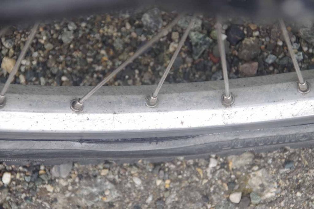
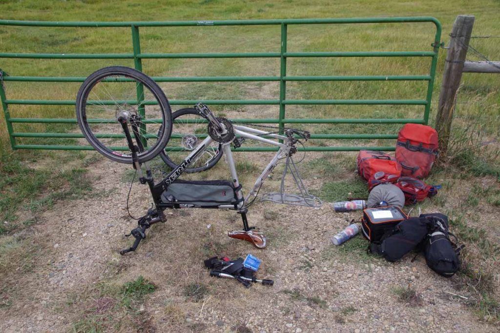
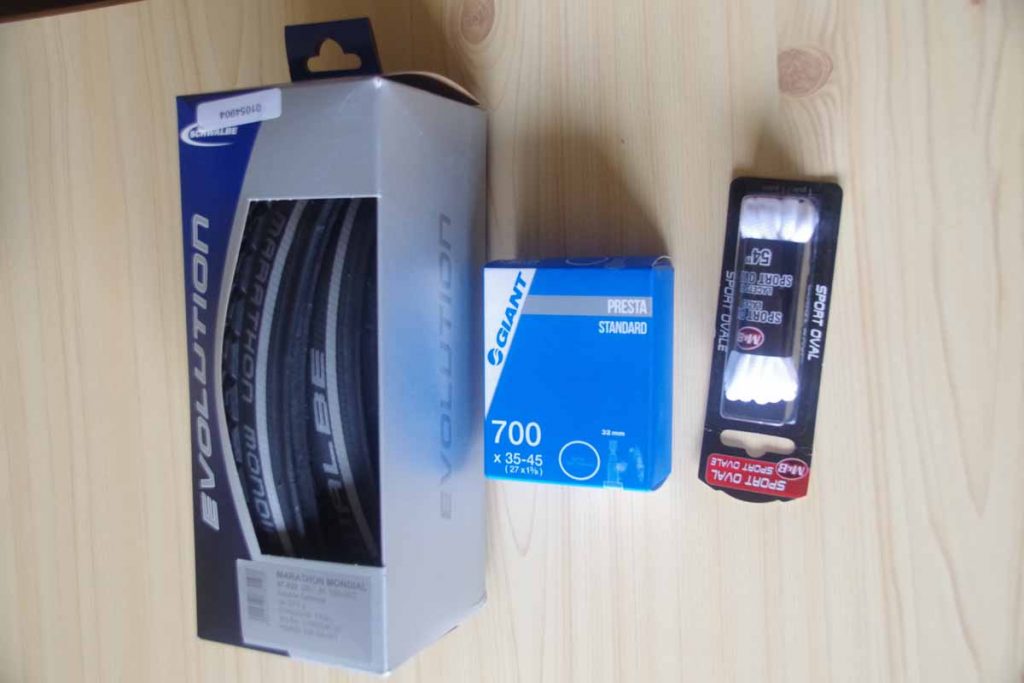
As I was riding, I could sense a radial asymmetry. Hence, at the rest area I took a good look and noticed that the sidewall from the tire was starting to rip. This isn’t good as at some point one goes over a particularly large bump/crack, the sidewall rips, “pow” inner tube goes out. I had two spare tires with me, one from the start and a second I had included in my Fairbanks care package. Hence, decided to swap in a brand new back tire. The one I took off might still work in an emergency, but doesn’t have a huge life left. Nice riding after that, though the bike definitely feels a bit sluggish.
IMGP2810
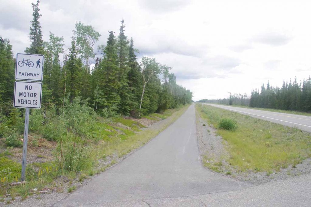
At 11 miles from Tok, this bike path appeared on side of the road. It was also pretty level. Hence, cycled the last 11 miles on this nice path. Overall, Tok was pretty quiet for 4th of July. Some festivities down the road, though didn’t find them. I did find the grocery store which was fortunately open and chance to get some lunch. One of two restaurants is open and will find it for dinner this evening.

Overall, two not extremely difficult days but some good riding as I started the Alaska Highway. I’ve had intermittent showers both days but at least not a deluge. Now also time to check the map and figure out how to go along the next several days ahead.

Posted in Alaska, USA | Tagged 1997 trip, Alaska Highway, Dot Lake, tire
©2023 - A bicycle ride across the Americas - Weaver Xtreme Theme
↑