↓
 

A bicycle ride across the Americas

from Deadhorse (SCC) to Ushuaia (USH)

  • Home
  • Plan
  • Blog
  • Photos
  • FAQ
    • Why?
    • Where?
    • What next?
  • Map
  • Equipment
  • Calendar
  • Countries
    • USA
      • Alaska
      • Montana
      • Wyoming
      • Colorado
      • New Mexico
      • Arizona
      • California
      • Texas
    • Canada
    • Mexico
    • Guatemala
    • Honduras
    • Nicaragua
    • Costa Rica
    • Panama
    • Colombia
    • Ecuador
    • Peru
    • Bolivia
    • Chile
    • Argentina
  • Weather
  • Links
  • Contact
Home→Categories Mexico - Page 3 << 1 2 3 4 5 6 >>

Category Archives: Mexico

Post navigation

← Older posts
Newer posts →

Izucar de Matamoros

A bicycle ride across the Americas Posted on 2017-01-15 by mev2017-01-15

So long pine trees, hello again palm trees and sugar cane.

Yesterday a relaxing day in Cuernavaca so was fresh on the road this morning. Today had some climbs (982m according to odometer) but more descents than climbs so I’ve now transitioned into warmer region and different crops.

The first 16km I took a back road to Tepoztlan. It started out urban and more downhill but I ended up climbing it all back up the last few kilometers. Photo above is looking down over urban areas of Cuernavaca.

At this point I was on 160D and descended from 1800m to 1300m. This road wasn’t as much fun as the shoulder was narrow with a rumble strip. So I alternated between descending on the highway and shifting over to the shoulder. Fortunately, once this bottomed out near kilometer 30, the road became a wider cuota with a wider shoulder.

Also had some more traffic, but overall not real busy. Near 45km, I came past turnoff to Cuautla where this fierce looking statue was overlooking the commercial billboards. I ended up on a bypass with a bit of climbing and then back out into rural areas again.

It was a bit hazy but off to the left I could see Popocatepetl. This active volcano is Mexico’s second tallest peak at 5426m (17,802ft). It is also North America’s fifth tallest peak.

I’ve seen a few more horses being used today. One horse has the rider and the other the crops.

By afternoon it was getting warmer, but still pretty riding. By now the road had also narrowed to two lanes without much shoulder. However, there also wasn’t much traffic.

I crossed the border to Puebla state, the 7th state I’ve cycled in Mexico. Best guess is 72 states total: 50 in the USA, 7 in Mexico, 6 in Australia, 6 in India and 3 in Germany. Other nations call their subdivisions other names like provinces, oblasts, departments, districts, etc so didn’t count those.

Here was a good example of fields of sugar cane.

I was happy to see Izucar de Matamoros appear ahead. Found a reasonable spot to stay.

During my rest day also sorted out a bit of road ahead. I’m about 327km from Oaxaca. Plan is to stop there and take a five day Spanish language class. At end of that class, I’ll be joined by another cyclist and plan is to ride with two of us to family he has in Costa Rica. Look forward to cycling with two of us, and coincidentally Guatamala, Honduras and Nicaragua are good places to ride with more than one.

Posted in Mexico, Morelos, Puebla

Cuernavaca

A bicycle ride across the Americas Posted on 2017-01-13 by mev2017-01-13

Over a big hill today with a lot of descent, some of it steep. Otherwise, riding today had a bit of everything: busy highways, small villages, a climb through pine trees and descent. A lot of descent.

The first 8km were leaving Toluca following highway 55. It was busy, but usually had a shoulder and I was already part of the way out of the city. At the 8km mark, an exit took me under the highway in a small one-car width tunnel. The roads now took me through several villages. The small roads and village roads have frequent “tope” or speed bumps, so I would also slow to carefully go over. It was relatively flat and road conditions varied.

At 23km, I turned south and came through a bit more hilly region.

Still a few agricultural fields though.

This photo was looking back at a village I had crossed. I was surprised at how many businesses were advertising as roadside restaurants and the like. Not sure if this is otherwise a vacation region for those from Mexico City urban areas or otherwise.

These folks were having a meal in one of the villages.

The other thing I noticed were a surprising number of “WC” signs. Not sure if this is the English “water closet” aka toilet or something else, but at least in sign above they seem related.

At 40km, I came to junction in village of Santa Martha. I was at 2800m (~9400ft) elevation and a small road led further uphill. I filled up on water and got a snack before setting off for a slow climb.

At 47km, was close to my top elevation. From here a reasonable descent, though the road was sometimes rough.

It was a nice and winding road and came along a park. Not far from here I also crossed into Morelos state, though I didn’t actually see signs.

By 65km, I had pretty much crossed over and could see Cuernavaca nearly 1000m further below. The next parts of road were very steep. I’m not that good at steep downhill so kept it cautious and rode down using my brakes a fair amount as well as stopping a few times. Fortunately, 10km further brought me to northern outskirts of Cuernavaca and reasonable place to stay.

I am now closer to 1800m again and days will again be a bit warmer. I’m also still several kilometers from city center (and several hundred meters higher), though don’t plan to ride through middle of this city.

Posted in Estado de Mexico, Mexico, Morelos

Toluca

A bicycle ride across the Americas Posted on 2017-01-12 by mev2017-01-14

Today an easy recovery ride ended in a busy city.

Once again cold starting out, locals here are wearing hats and scarfs. Today was also considerably flatter with only 350m of climb total. After 3km, I saw a Subway and stopped for breakfast. After this the road became a cuota shown above mostly with reasonable shoulder. It was nice riding flatter terrain for a change.

Around 25km, I was coming through a wooded area and saw a large group in brief pause from walking along the highway. Apparently on a pilgrimage walk to some place beyond Guadalajara.

Amadeo Hernandez came over and we briefly discussed our respective trips. He was also a cyclist. It was fun making that connection. Selfie photo from Amadeo, thanks!

Areas that weren’t wooded, looked more like photo above.

These guys worked at plant behind in the photograph but were having their lunch break.

After 50km, I came to toll booth and then more urban riding going past the center of Toluca. Toluca has a population of 800,000 in a metro area of 1.9 million, making it fifth largest metro area in Mexico.

The road started fairly easy with three lanes each way in the middle and a similar three lanes on the outside. Occasionally trucks would park in the right lane but typically traffic was light enough to pass on the left. The last five kilometers became much more crowded and I was part of stop and go traffic.

Unlike other cities where I’ve often gone to a cathedral at center, I decided to pass along the center and instead get to one of the roads “outbound” so I’ll have shorter distance to depart tomorrow. This was where the big stores like Walmart, Bed Bath and Beyond, Sams Club, etc also seem to be found.

Toluca has been my second way point since Mazatlan. From here, plan is to cycle towards Oaxaca. I’ve been working through a little more precise routes to ride.

Posted in Estado de Mexico, Mexico

Atlacomulco

A bicycle ride across the Americas Posted on 2017-01-11 by mev2017-01-11

Two days riding, each with over 1000m of climbing have brought me to Atlacomulco. This is end of the main cuota stretching from Tepic towards Mexico City. My plan is to skirt Mexico City around to the south.

Before describing last two days riding, a note about food. Photo above was one of the most elaborate presentations of dinner. This one from restaurant in Morelia. Often, I’ll find a restaurant on my end city, but a lot of the time, I’ll also grab street food such as tacos from vendors on the street. During the day, I’ll stop at local shops or OXXO and get yogurt or cookies or other items as a snack.

By the way, meal above was 150 pesos (~$7.50) so more than average but not overwhelmingly expensive.

I had fun taking pictures of the cathedral after dark.

This was trying the HDR mode on the camera.
Day One
Today had a little of everything in it: city riding, rural roads and cuota. It was mostly flat for the first 55km and then a large hill to climb over in the last 40km. Leaving Morelia was a little more hectic than arriving. The larger city streets turned into an expressway leaving town with three lanes of high speed traffic. Initially this still worked well since the rightmost lane also had a lot of buses stopping and starting so was all slow. However, once I left the “bus zone” it was a bit faster. Fortunately less traffic leaving the city than arriving and by 9km, I turned onto the smaller road to the airport.

Photo above shows the nice calm road on way to the airport. Unfortunately, just before this was surprisingly busy because inbound traffic had all backed up, I think partially due to a school and partially general congestion. This meant outbound traffic including myself didn’t have a very wide lane and occasionally traffic would back up behind myself as well. Fortunately, this all only lasted a few kilometers before we got to quieter road above.

Around Morelia I’ve seen more of what look like subdivisions to me. A nice fancy entry and streets with cookie cutter houses. You can see some of them on the left.

A few blog entries ago, I mentioned I had most often seen “car wash” in English. Around Morelia I did actually see Spanish at least twice as well.

At 25km, I passed the airport. Not sure why this old graffiti marked plane was parked.

A few kilometers later, back to the main roads. Nice to see I’m closer to Mexico City than Guadalajara.

Next 25km were nice and flat, including passing by a large lake. At 55km were toll booths and a service area where I had lunch.

This was start of a big hill including this sign I think telling you being intoxicated invalidates insurance.

Climbed ~600m and around the top was this vendor on side of the road selling baskets of strawberries.

Top of the hill! My cycle computer is set up in a hybrid mode with distances in kilometers but elevations in feet.

A nice descent again and I found myself at the road exit to Maravatio. Coincidentally whatever extra insurance you had (unless drunk) also stopped here.

As I cycled into town, I felt the rear tire being flat. I cycled a bit and then walked the last little bit to a hotel in center of town. First thing was to get the flat fixed and then shower and walk around town for dinner. Overall a longer 96km ride with a substantial climb at the end, but also pretty riding with a lot of variety.
Day Two
Climbing throughout the day today, though not as far in distance.

I tried waiting a little in the morning to make sure it was getting warmer. Photo above is looking back at Maravatio after getting on the highway.

Today there were a number of sections that also had a frontage road running alongside. You can see the main highway, a small rumble strip, the shoulder and then the frontage road. The frontage road was sometimes unpredictable and looked occasionally rough.

In a few spots there were explicit gaps placed so someone could park a vehicle on side of the cuota and visit a business.

However, in general the cuota usually has a barb-wire fence with white posts on it. From others journals I’ve found a few who try riding these roads and camping and often end up camping at the service stations behind a Pemex gas station or other place with access to bathrooms. Typically they do not go across the fence, since that is most often private property.

There weren’t too many stopping points today. At one point, I did cross the highway to visit small store only for the other direction. Photo above from one of the climbs with painting of virgin Mary along the way.

Close to top of one of the hills I exited Michoacan and entered Estado de Mexico or the special state that contains Mexico City.

At one of the service areas a local was selling garments. I noticed many of them as well as what I see in Atlacomulco are thicker heavy garments like sweaters.

I reached end of the cuota as well as elevation 2570 meters (8400 feet). A few kilometers of busy highway and I was in downtown.

I wandered around town. There is a nice plaza with church.

They are busy rebuilding a lot of the plaza.

And of course lots of shoe shine vendors here as well.

Posted in Estado de Mexico, Mexico, Michoacan

Morelia

A bicycle ride across the Americas Posted on 2017-01-09 by mev2017-01-09

Two days of cycling in Michoacan have brought me to the capital, Morelia. Overall I’ve found Michoacan to be quieter than states before, both in the smaller villages and even in this capital city of 600,000+ people. However, some nice riding with colder mornings and beautiful sunshine.
Day One
A cold start today and a number of slow climbs, but otherwise a pretty ride.

Churintzio was quiet as I left.

My cycle computer told me 1.6C when I entered the cuota and then dropped to 1.2C (34F) a short while later.

However, what made it particularly cold was a sharp north cross wind that I had for first two hours. Just as it would warm a degree or two, I would go around a bend and then it would drop again. However, by 10am it finally started warming up and the wind even died down.

There were at least three long climbs today along with some reasonable descents. In one sense it was a mirror image of the day before with a lot of climbing early and then a flatter finish. I would pass some villages like one in photo above as well as agricultural fields.

This bus had broken down and while they were working to fix it, some of the passengers had already disembarked to sit on the median area.

Mexico seems to have these helpful service trucks that ride the major highways and then help in situations such as when the bus broke down. I’ve seen them on the cuota here, but in Baja I also saw them on libre roads.

At 41km, I came to this toll plaza. 181 pesos is reasonable cost ($9) and perhaps also why the cuota was not busy at all today. Other than missing towns, as a cyclist one does end up with good shoulders and smooth roads for the most part.

I had lunch at the Subway here as this was only place all day to get food.
After this one remaining longer hill but then surprisingly the road seemed to level off. At 70km, I could see Huanqueo in distance. A previous blog had mentioned a hotel Salony or similar name. I also asked once or twice to confirm there was a hotel and then cycled into town.

On entrance to town, there was a convenient sign (but it is a salon or hotel named “El Profe”). When I got to the first street, I didn’t immediately see it but asked someone who was able to lead me to the small hotel.

Unfortunately it was closed and nobody was around when I rang the bell. I waited for a bit and then decided to call a phone number I had seen posted. It was a good test of my (minimal) Spanish to understand that they were coming and would be there in 15 minutes.

The hotel itself has a big parking bay and then those stairs up to the right that lead to three rooms. I rented one of them. The proprietor is also an elementary school teacher in town and was friendly.

I walked around town but it was mostly closed. Here was shop that sold bicycles and electronics and other stuff.

Here was the main street as it headed west out of town. There was a liquor store a little ways down where those folks were, but decided not the best place to hang around.

The main church. As I asked around there really wasn’t any place to get something to eat but understood that restaurants and others would open sometime between seven and eight pm. In the evening some motorists came and rented one of the other rooms. I went into town and now the town square had five or six portable food carts out serving food. Nice chance for dinner. I think the locals were amused to have such an obvious outsider and sometimes even helped with basic language.
Day Two
Today I tried a short cut through the back roads instead of taking the cuota.

The past several days I’ve taken photo of my cycle computer each day to show how cold it is, and somehow each day has been a bit colder (-1.5C = 29F). Fortunately, no strong biting wind and it warmed fairly quickly as the sun rose. I have noticed that each of the three days after Mazatlan the small hotels didn’t have blankets on the beds and each of the last three nights the hotels had blankets.

The hotel had several murals out including this one of the Morelia cathedral, my destination for the day.

First I passed under the cuota and then onto a smaller road. This went through a small village which was fun. Many of the locals were out, waiting for a bus and it was clear they didn’t have many touring cyclists come through. They looked at me and I looked at them. Occasionally there was a steep hill or two.

However, at the third village the road turned sharply uphill. My cycle computer had difficulty recording the incline since I was going too slow but I’m guessing short bits of ~11% or so. I walked a few of these. Photo above was looking down on the village after having done most of the climb.

After this it leveled off and came through a second village. I get the “only education can save the world” part of the quote above, but not quite sure what the reforms they are referring to.

After about 15km, the steepest of the hills were past. Photo above shows items I found common here: (a) stone fences (b) large cactus type trees and otherwise wide open views.

At 37km I found myself back to the main highway 15. It was two lanes with a reasonable shoulder. I also started to see some places to get food.

A few kilometers further entrance to Morelia. Here the shoulder of the main road was replaced with a frontage road on each side. These were occasionally bumpy and occasionally blocked with truck and bus traffic, but otherwise surprisingly nice to ride into the city.

Ah, lunch at last! This small shop had an excellent chicken type burger.

After this the last 8km cycling with some of that walking some sidewalks and I was at the main square. Found a place to stay not far away.

Met another touring cyclist on the main square. He had started in Georgia and was slowly winding his way down to Panama.

A photo of the main cathedral.

Simple but elegant interior. Nice to get to a somewhat larger city after these smaller towns.

Posted in Mexico, Michoacan

Churintzio

A bicycle ride across the Americas Posted on 2017-01-07 by mev2017-01-07

Todays endpoint is definitely small town Mexico. Just off the main square and all is quiet with exception of the church bells that peal every hour (half hour). It was a nice ride today with 50km of flat riding followed by two not too bad hills for ~700m of climb for the day.

Last night the Ocotlan square seemed quiet, though not as quiet as tonight.

Starting out my cycle computer told me 4C (40F), I think as cold as I’ve seen since Arizona – though certainly not like the deep freezes we hear about in Colorado and elsewhere. It warmed through the day and at one point my cycle computer was even over 30C (86F). I am definitely in a more continental climate and ended the day a little over 1800m (6000ft) high. Expect some more climbing these next days.

I stopped at the OXXO for breakfast before turning on the cuota. I would take the cuota for the next 80km.

I didn’t quite notice at first but when it says “Mexico” this means “Mexico City”. I’ve been seeing more of these signs as I am now within 400km of Mexico City.

It was an agricultural area including these gather together stalks.

This guy was using his horse to help herd his (dairy?) cattle. He also had a few “sheep” dogs that came over to check me out until they were called off.

Around 40km, I crossed my next state boundary, Michoacan and have now cycled six Mexican States. At 50km started a climb over a moderate hill. Down the other side and flat.

Brought me to this Papa John Pizza as well as small store. Welcome sight for a late lunch. After this a somewhat longer hill of ~300m (1000ft) brought me to see Churintzio.

The words I have seen in English more often than Spanish

Are “car wash”. In Baja I figured it was catering to the American tourists, but now that I see the same outside small town Churintzio, I am more inclined to believe this has just been adopted as part of Mexican Spanish lingo.

Here was picture of the town square. It really wasn’t any more lively than this. However, nice quiet little town.

Posted in Jalisco, Mexico, Michoacan

Ocotlan

A bicycle ride across the Americas Posted on 2017-01-06 by mev2017-01-06

Out of Guadalajara and on the road again.

Cycling out of the big city was easier than riding into it. I was on the road by 7:30am and just before sunrise. There were lots of cars but I’m guessing I started before peak of rush hour. Riding into a city I’ll often have a definite “center” type destination. Riding out is different in that one has to be careful to make sure you go the right direction. I had one correction where I needed to check my phone but otherwise straightforward.

Several of the streets had reserved the center lanes for buses. I also saw cyclists riding these center lanes, but it wasn’t clear if this was expected. In any case, there wasn’t enough room for both a bicycle and bus in that lane.

Photo above shows another example of bus lanes, but this time there is a bus stop in the middle where passengers wait and then board the buses. I tried the center lane once or twice, but then decided to mostly avoid them since there wasn’t a good place to ride when buses came past.

At 9km, I crossed some railroad tracks and followed a road that became smaller and smaller and eventually unpaved. Looked up my map and figured out where I needed to go.

By 12km I was at the main road heading south out of town. This road was very busy. It wasn’t quite clear if there were three or four lanes since the rightmost “shoulder” also had vehicles driving in it. I paused briefly at an OXXO, partially for a bite to eat and partially to get ready for this busy road.

Fortunately, the road kept getting better as I cycled away from the center of the city. Eventually it did sort out to become three lanes with a shoulder. The number of vehicles diminished, particularly by the airport at 20km where it went down to two lanes. Hooray! After this point, the riding was pretty easy.

There still continued to be these types of food tents along the way up until close to 30km. My route took me south 33km first and then east for 51km, this time avoiding the toll road entirely. I think it ended up being a good choice.

At 33km, the road split and I followed highway 35. It was two lanes with a good shoulder the entire rest of the way.

This was an agricultural region and here they were bagging stalks again.

I think these are agave plants one of the ingredients of tequila.

I stopped at a roadside restaurant for lunch. Good food, though I did need to point to things to get my order made.

I saw a few bicycles on the road, including some like this local rider going the other direction.

There was even a horse riding along the highway. Overall I did see more locals here than I had seen on the more isolated cuota toll roads.

As I got closer to Ocotlan, I was surprised to see multiple furniture showrooms.

Apparently, Ocotlan is a “furniture capital”.

As I rounded a bend at 80km, the town came into view ahead. Overall a nice ride and not too difficult day as it was fairly flat. I’m expecting some more hills tomorrow and following days.

Posted in Jalisco, Mexico

Bike tuned and ready to go again

A bicycle ride across the Americas Posted on 2017-01-05 by mev2017-01-05

My bicycle is back from the shop from a quick maintenance.

My bike has been riding well and without issues so far. However, I ended up replacing the chain and brake pads as these items wear down over time. Mexican cities seem to have a number of bike shops, but figured Guadalajara (GDL) is a good spot to get this done and hopefully last for a while.

Otherwise mostly walked around some of the downtown. There are multiple plazas all linked together here as well as busy shopping streets.

Photo above are two of the bicycle police that patrol this area.

I’ve also been looking through trip journals from Crazy Guy on a Bike website to come up with rough plans from here to Toluca, my next intermediate destination. I expect a mixture of the cuota (toll road) but also a few other roads as well somewhat similar in route to Mike Conway’s ride in 2015 (though I’ll skip his hotel first night after GDL). Looks like some good climbing coming up. However, first will be an early morning departure to wind my way out of GDL.

Posted in Jalisco, Mexico

Guadalajara

A bicycle ride across the Americas Posted on 2017-01-03 by mev2017-01-03

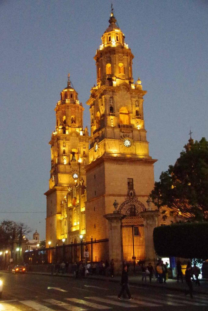
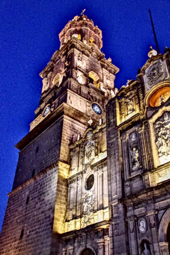
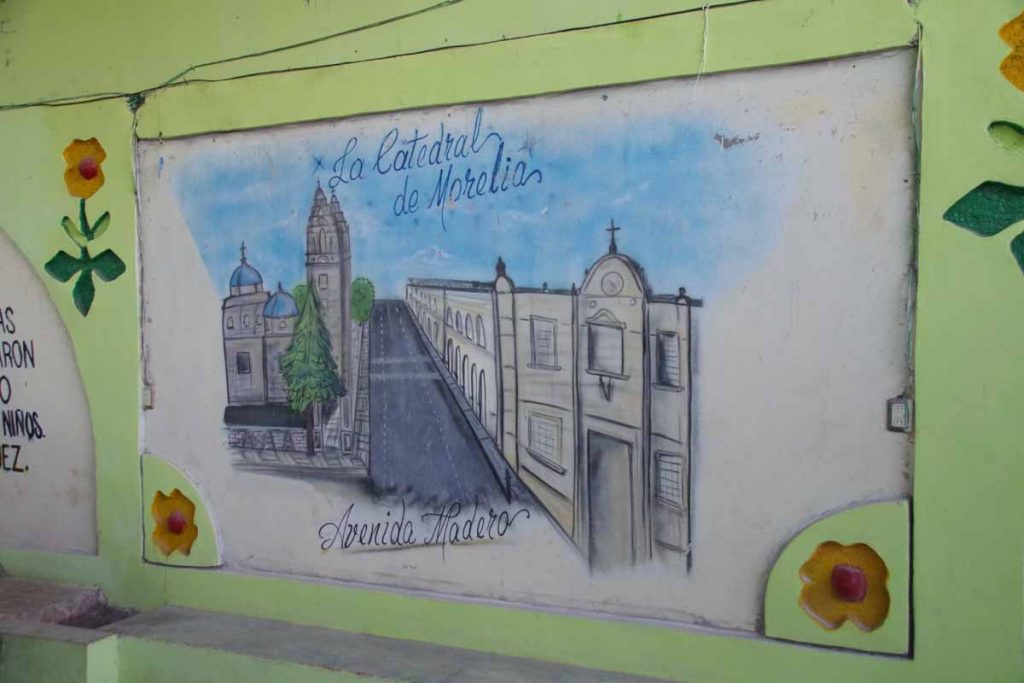
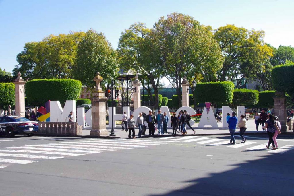
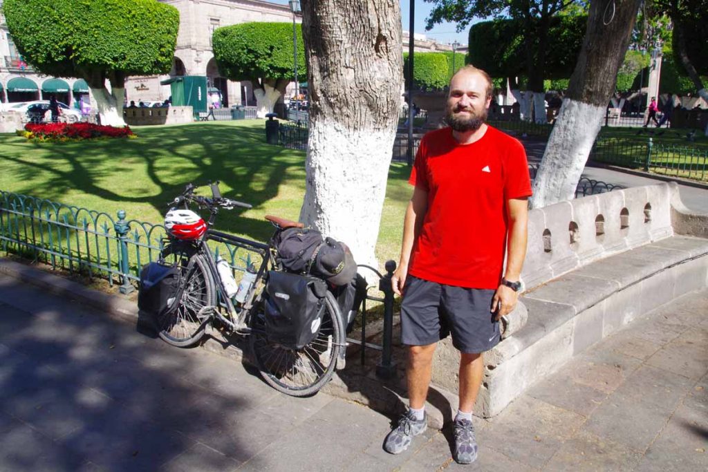
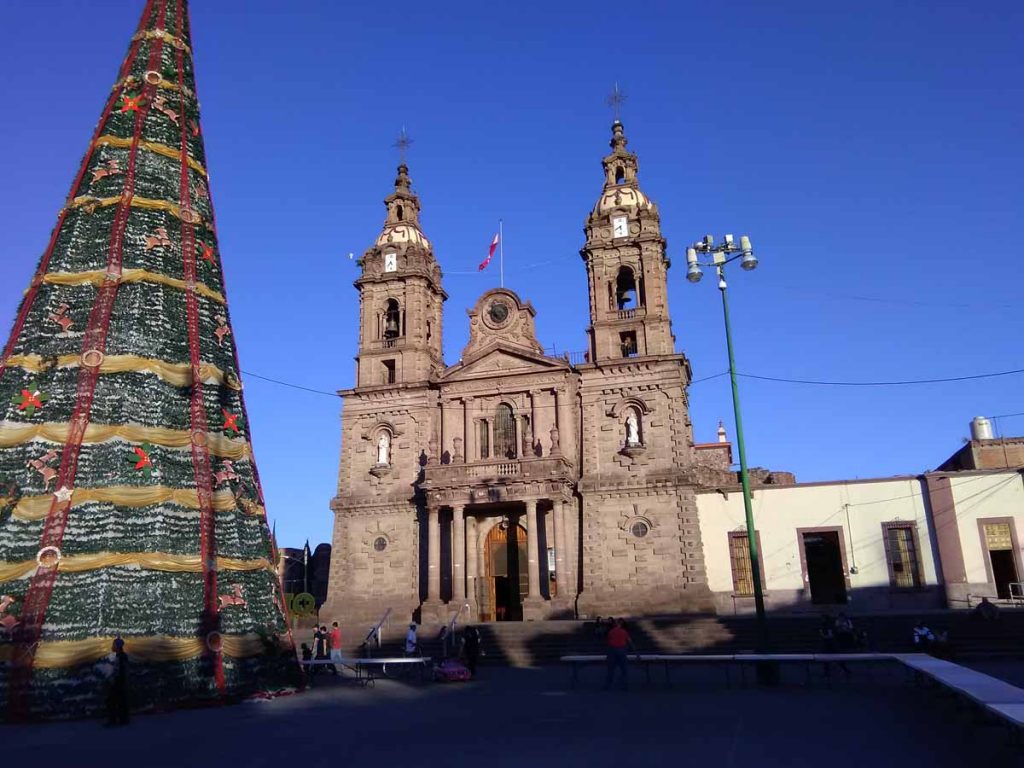
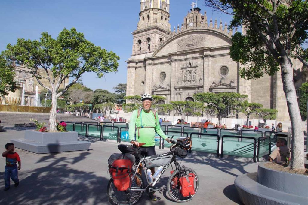
Made it to Guadalajara! Photo below with bike in front of the Guadalajara Cathedral downtown.

Two thoughts after cycling into middle of Mexico’s second largest city: (1) Mexican drivers are more patient and polite to touring cyclists than American or Canadian drivers and (2) despite that, I will be happy to bypass Mexico’s largest city (Mexico City) as it still takes a lot of concentration to carefully make your way into these big cities.

More details below, but to give an example of the politeness: today I recall several instances of drivers passing with thumbs up or asking the “where are you from” type questions when stopped at light and then being encouraging. As a different example, at one point the road ducked down into a tunnel (oops). While it was lit, my slow laden bicycle still felt out of place. As best I can tell, the car behind turned on emergency flashers and carefully followed to escort me until safely out of the tunnel. Thanks!

Now about those last two days from Ixtlan del Rio.
Day One to Magdalena
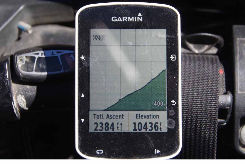
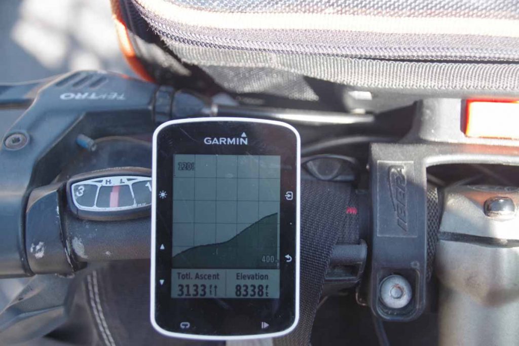
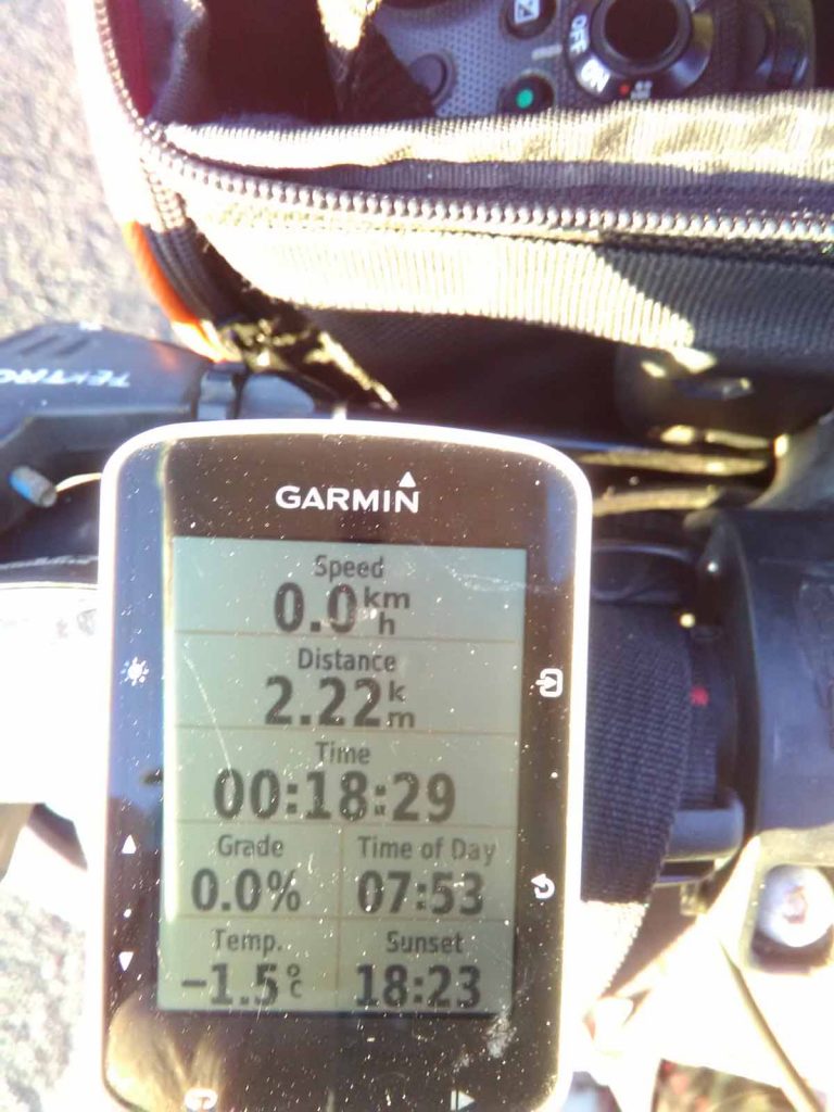
Up, down, up and across. That is the simplified description of the first day. Lots of climbing and descent in the first 40km and then flat going into Magdalena. Not a long ride, but still more than 900m of climbing.

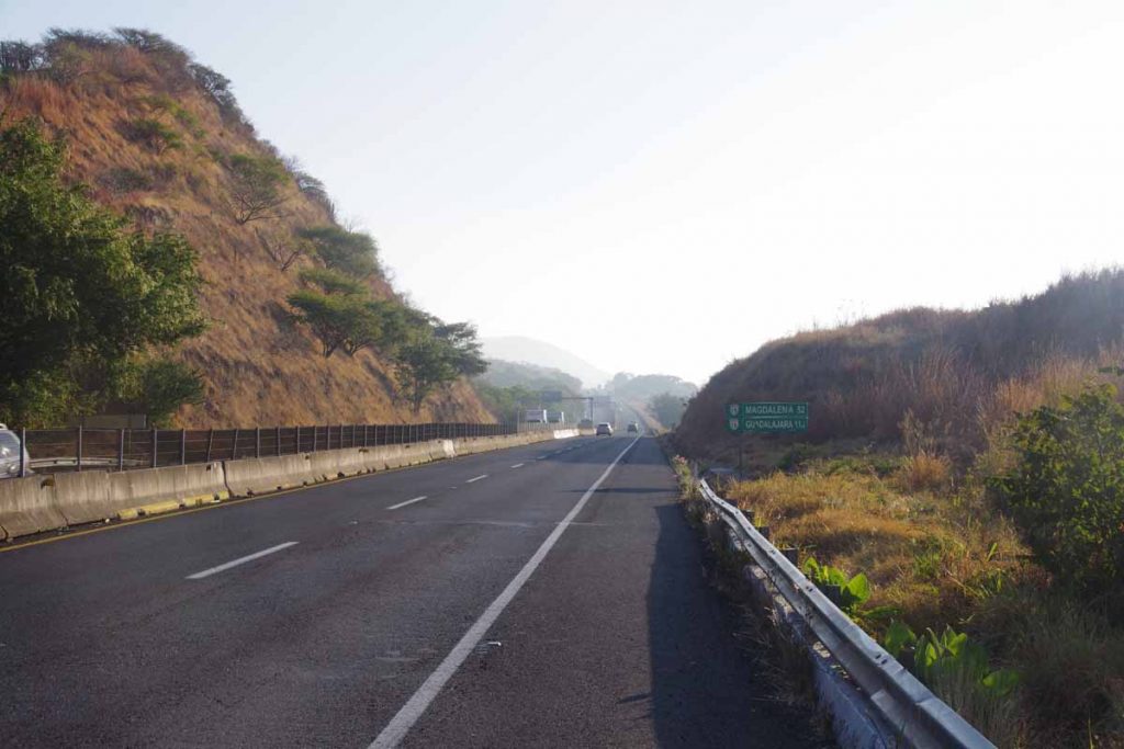
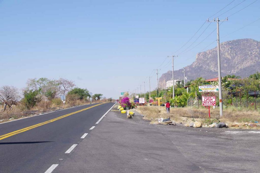
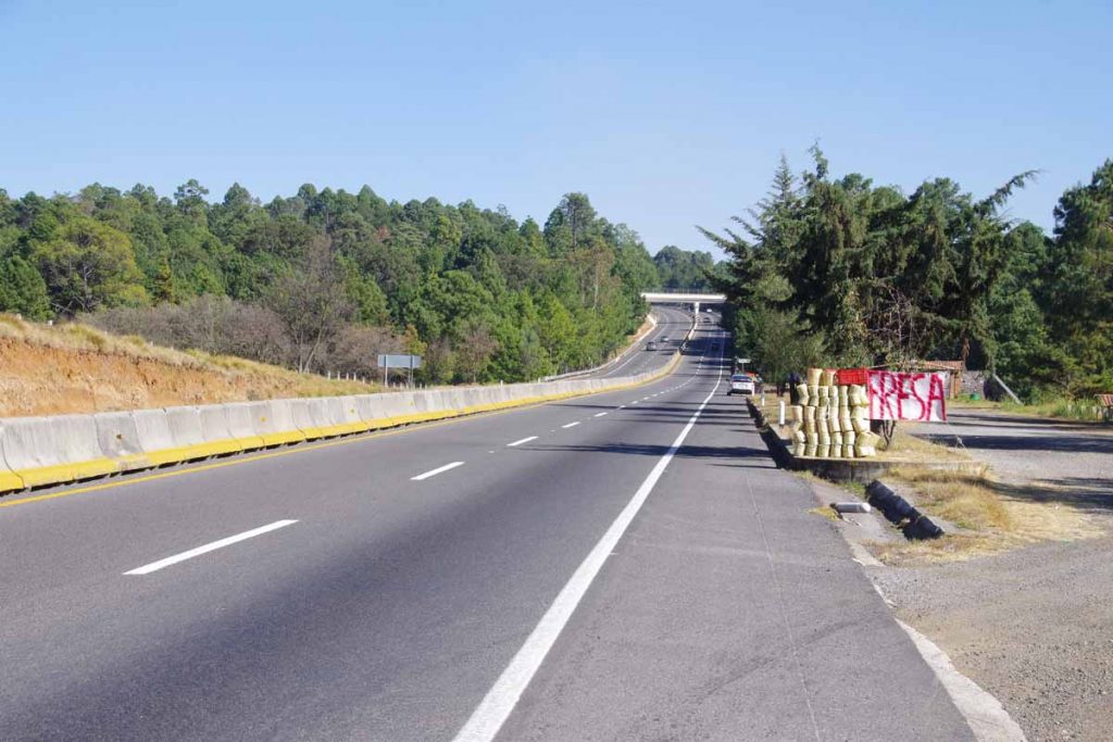
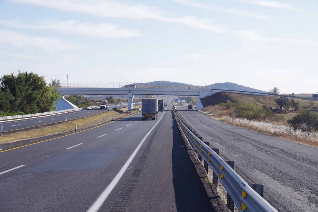
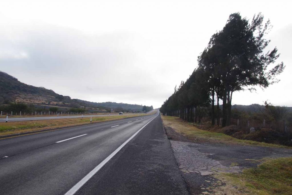
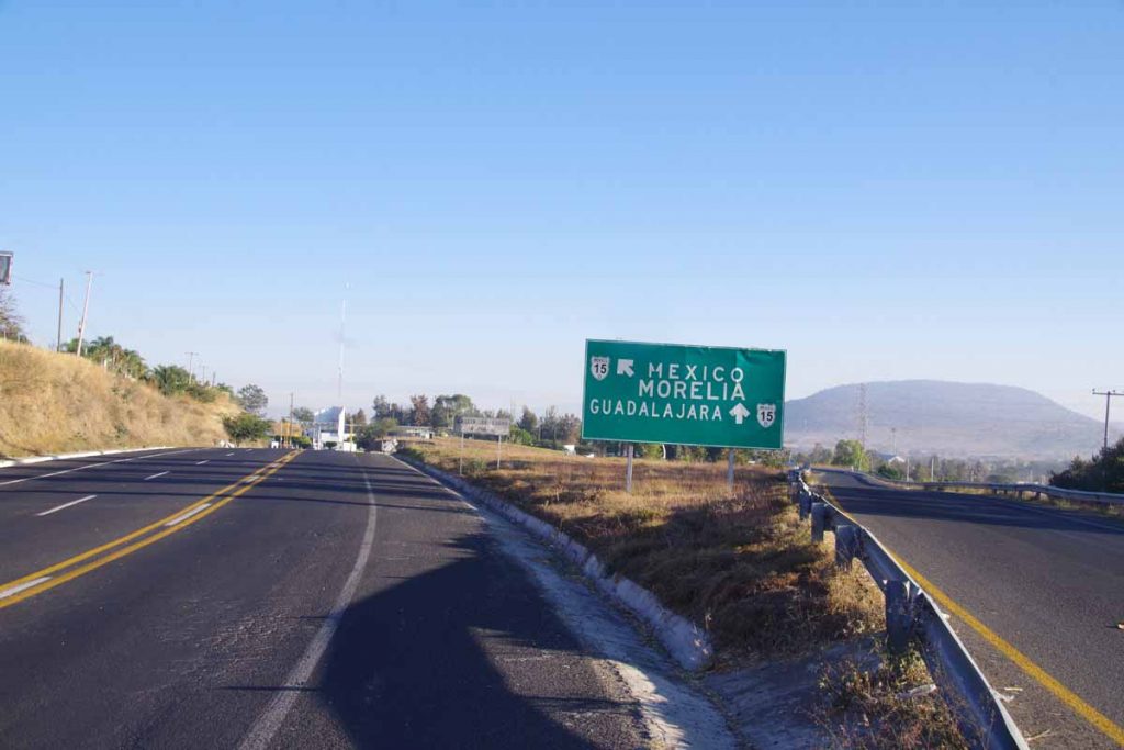
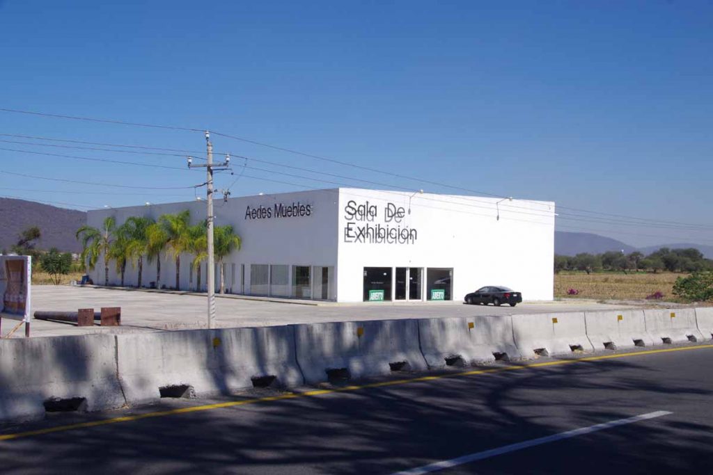
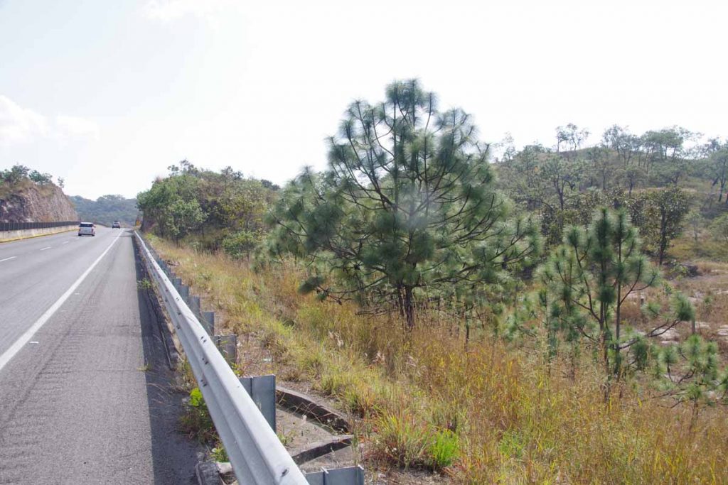
Ixtlan del Rio came alive more after the sun went down. Overall it was cooler here, 12C overnight (53F) and even saw locals wearing light coats. In the morning, I walked over the nearby OXXO for a yogurt and then set out on the road. Within 2km, I was back on the cuota again. This road has kept getting busier so after Guadalajara will likely try some more local roads again.

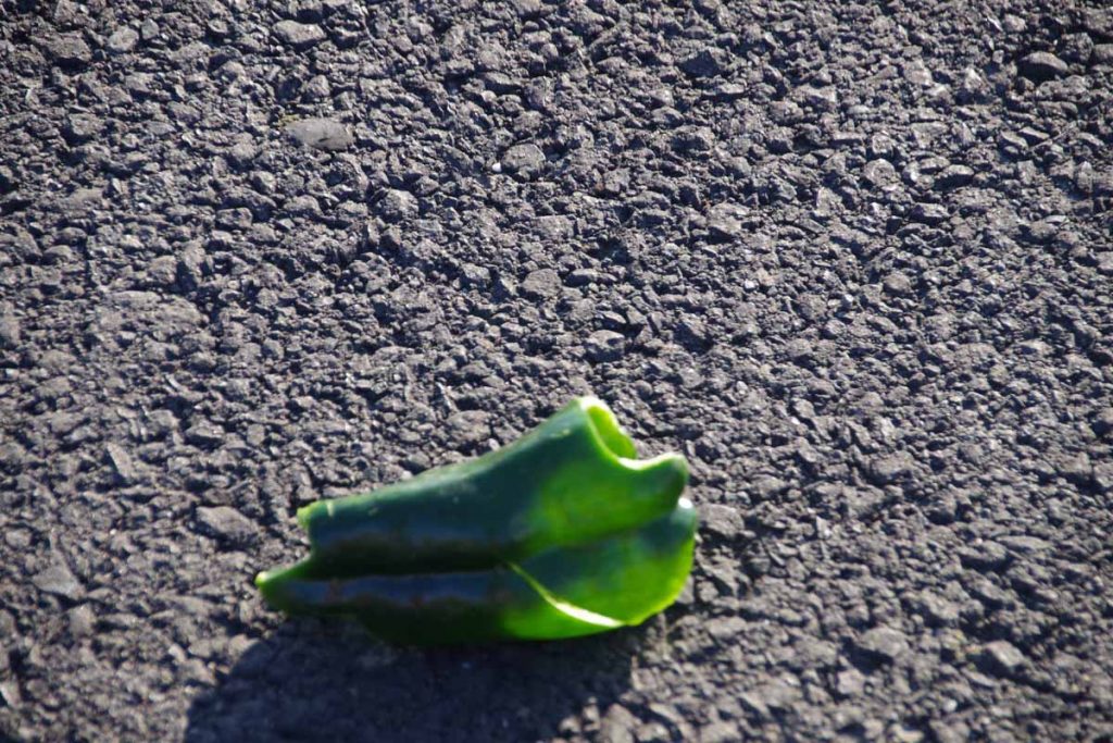
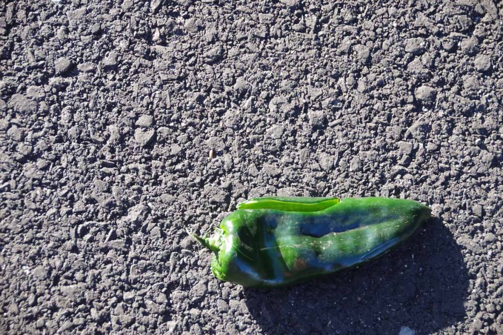
I saw a few more of these smushed peppers today. Somewhere behind me are the fields they load trucks up with peppers and somewhere ahead is where they get sold, but in between a few fall off the trucks and end up on the highway shoulder.

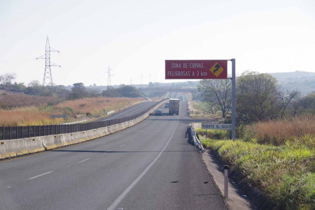
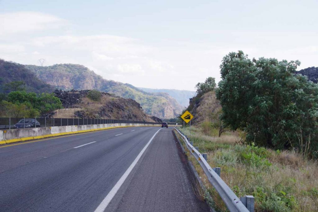
There was a steady climb coming up to 14km where elevation was briefly 4400ft. After this the zone with large curves had the highway slowly wind itself downhill to around 3300ft. It was a pretty descent into a valley. Just a little past the bottom was a toll booth at 30km. You can also see some of the shredded tire debris found on the shoulder.

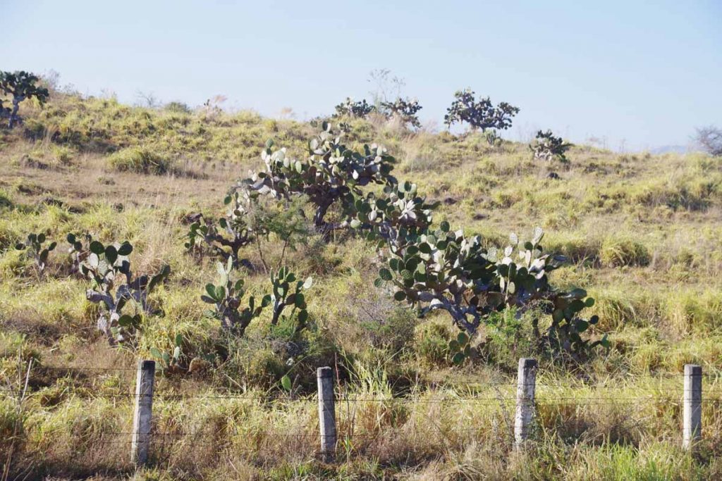
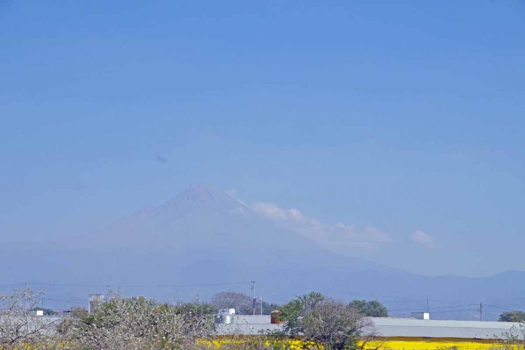
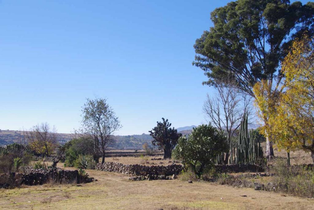
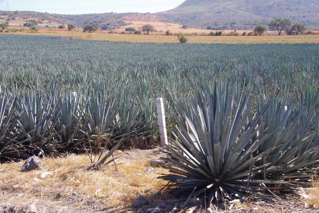
I started seeing a few cactus again, so definitely getting into drier regions than Mazatlan.

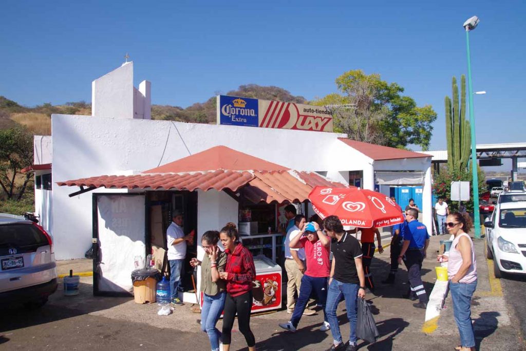
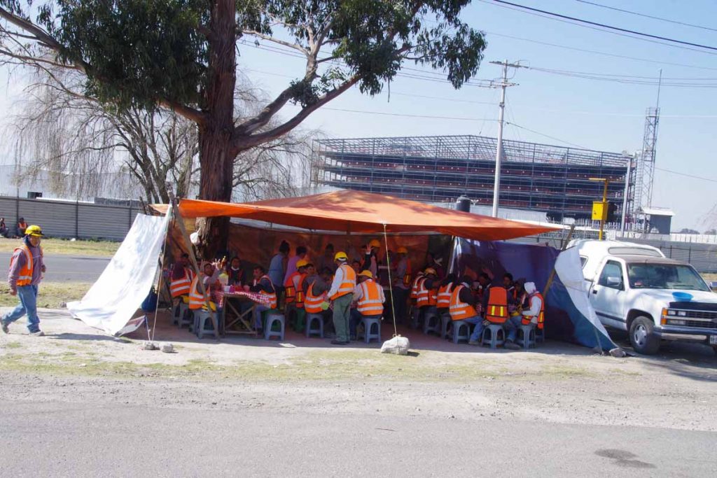
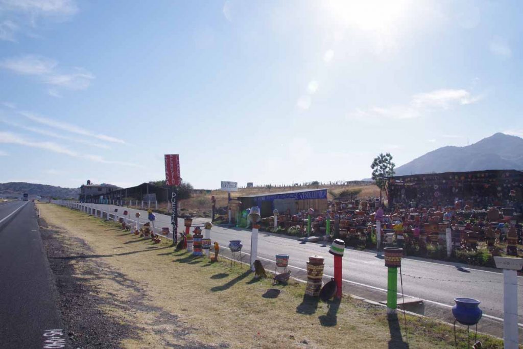
Here was little shop at the toll booth. Definitely busy this morning. In addition to the local booth, some local vendors had also set up sales of gorditas and other foods. I rested here for a while.

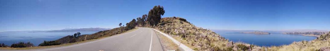
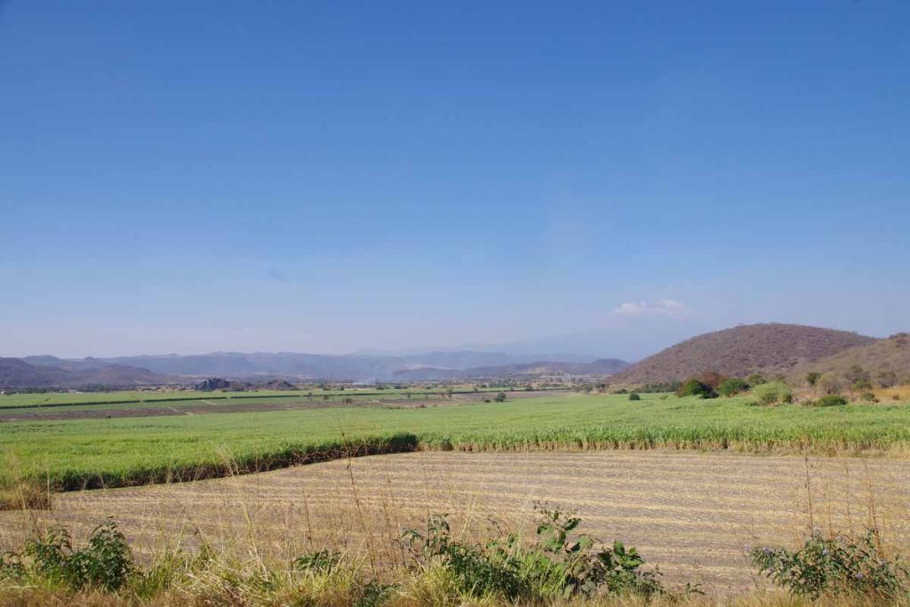
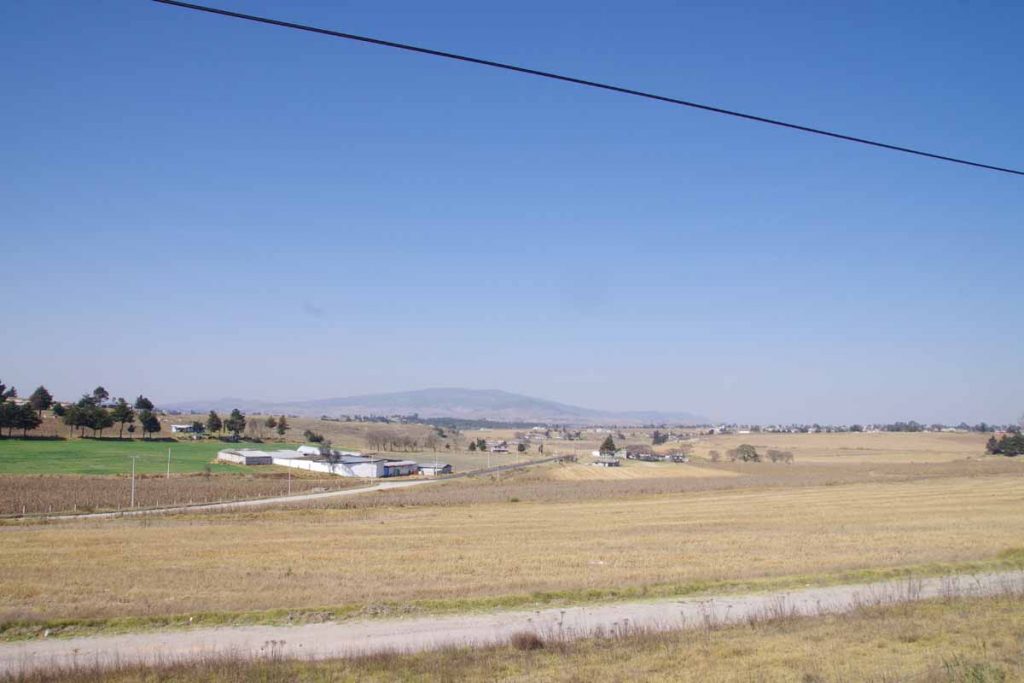
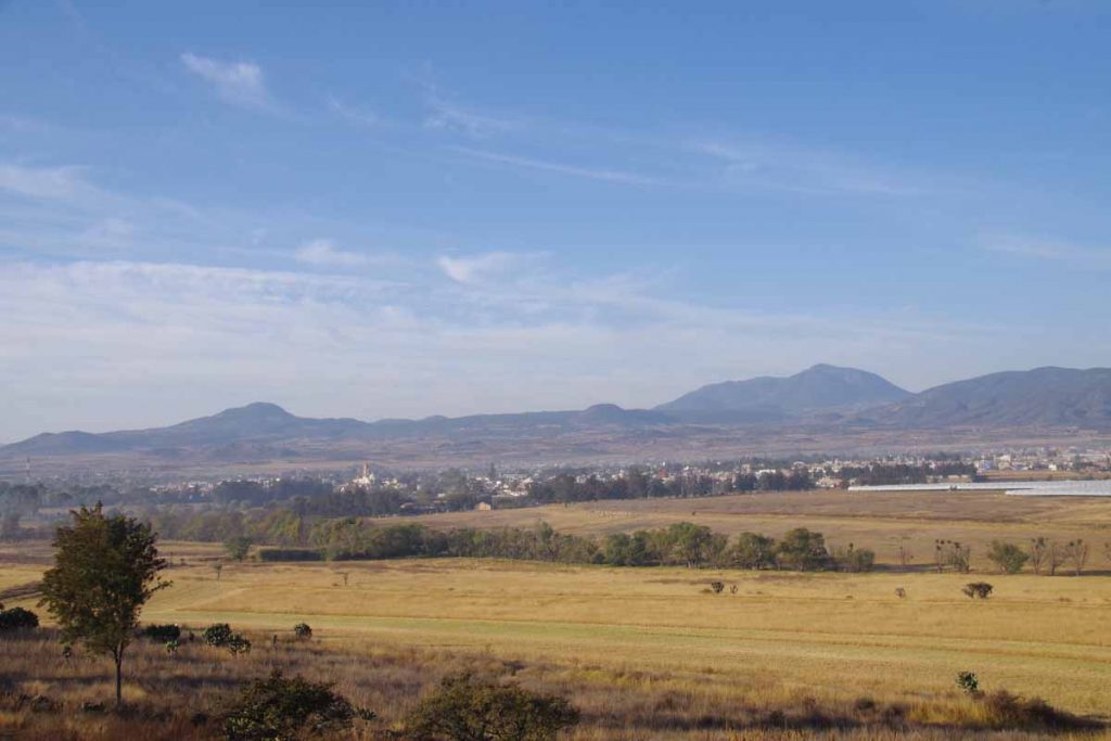
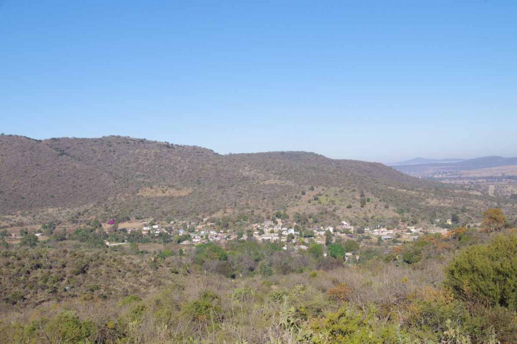
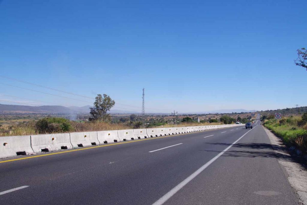
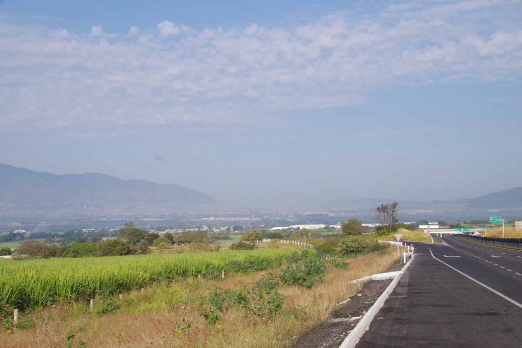
After this, the next 10km steadily climbed until 4700ft of elevation. Grade never got much over 5-6% but it was a slow steady climb. At the top, suddenly the next valley opened up with wide views and much flatter terrain.

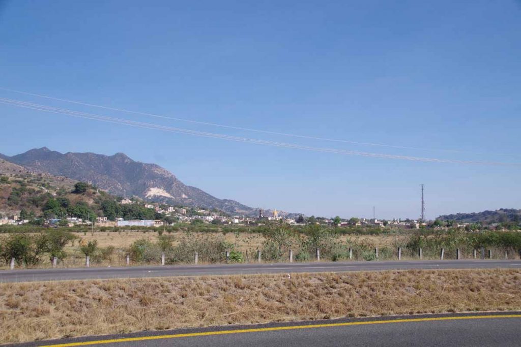
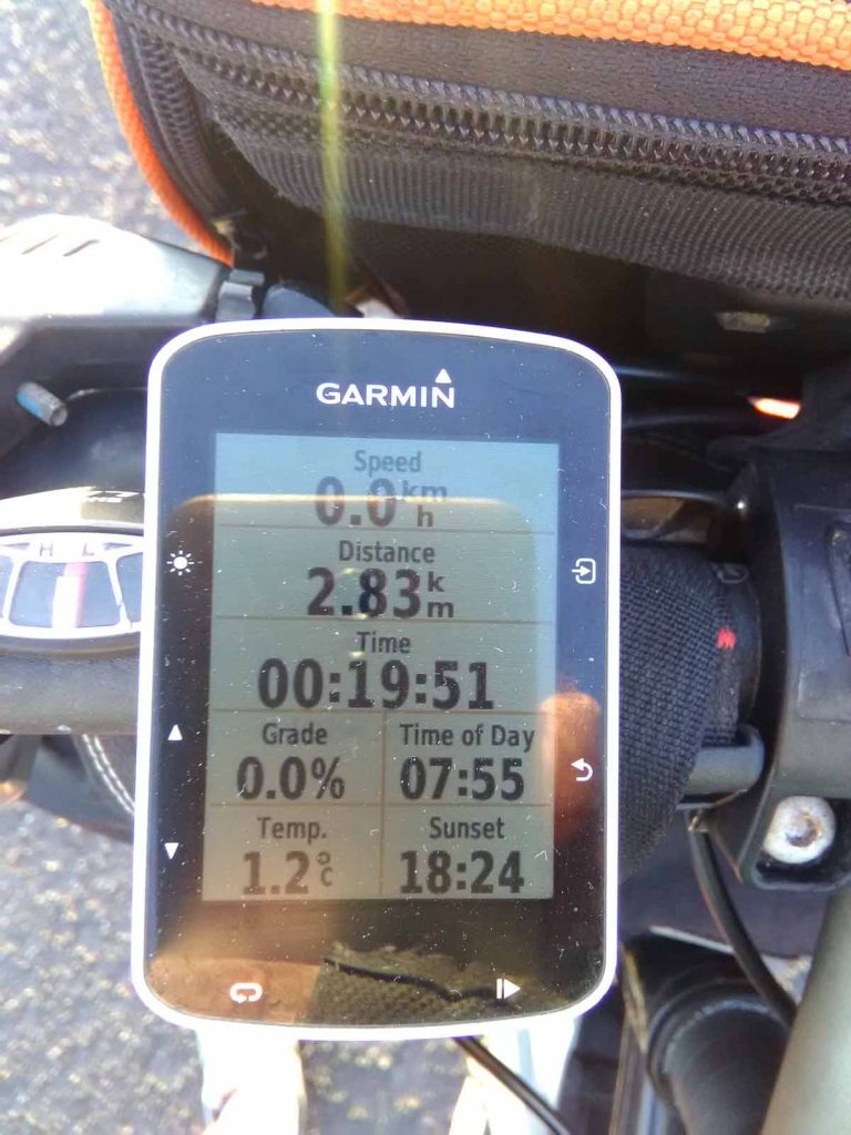
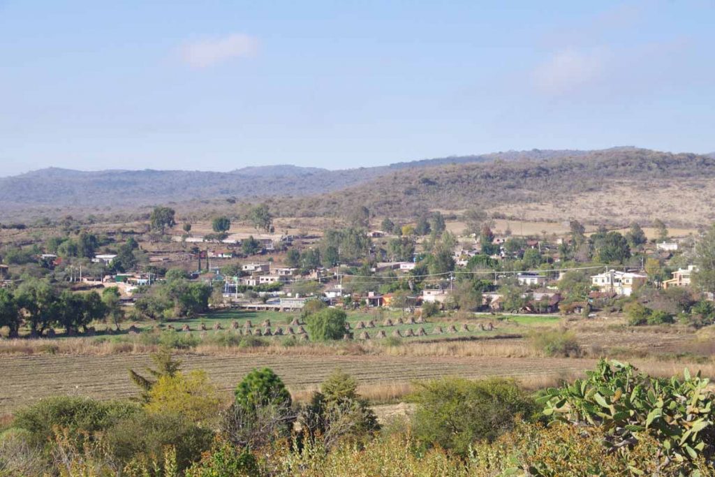
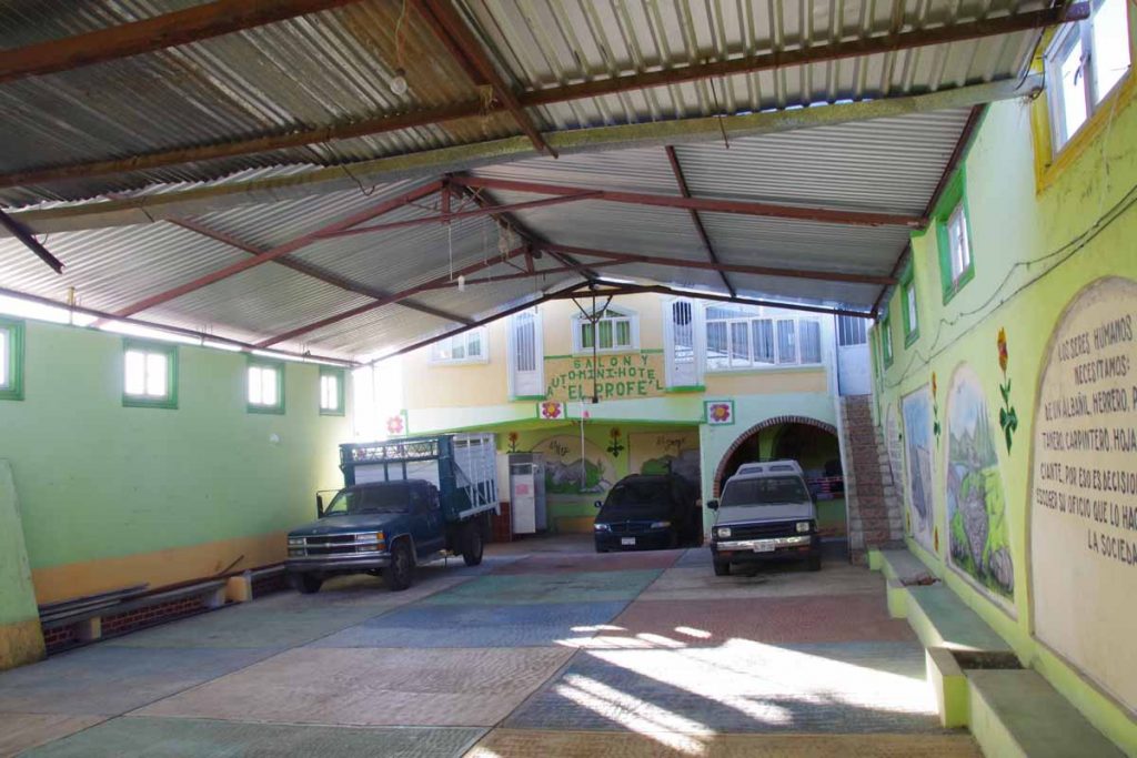
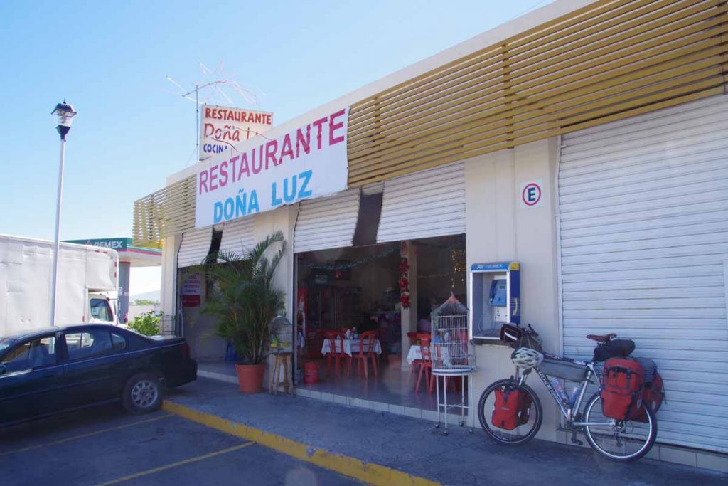
As I came past Magdalena on the left, decided to stop here for today. I had changed to Central Time Zone when I crossed into Jalisco (my 5th Mexican state), but still somewhat early. In any case, I pay at least as much attention to sun and likely sunrise/sunset as specific times. Not far from toll road exit was small hotel as well as restaurant. Seemed like nice place to stop.
Day One to Guadalajara
7C (55F) overnight yeah). Day two started with more smushed pepper and riding the cuota but ended differently entering the big city.

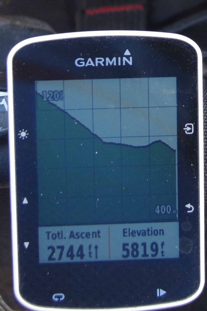
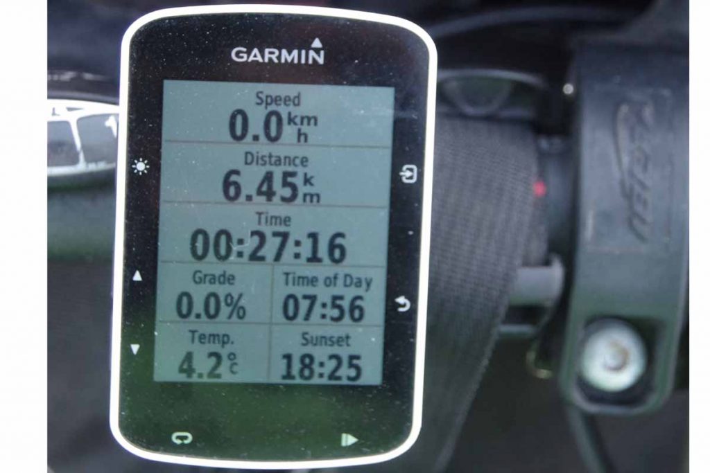
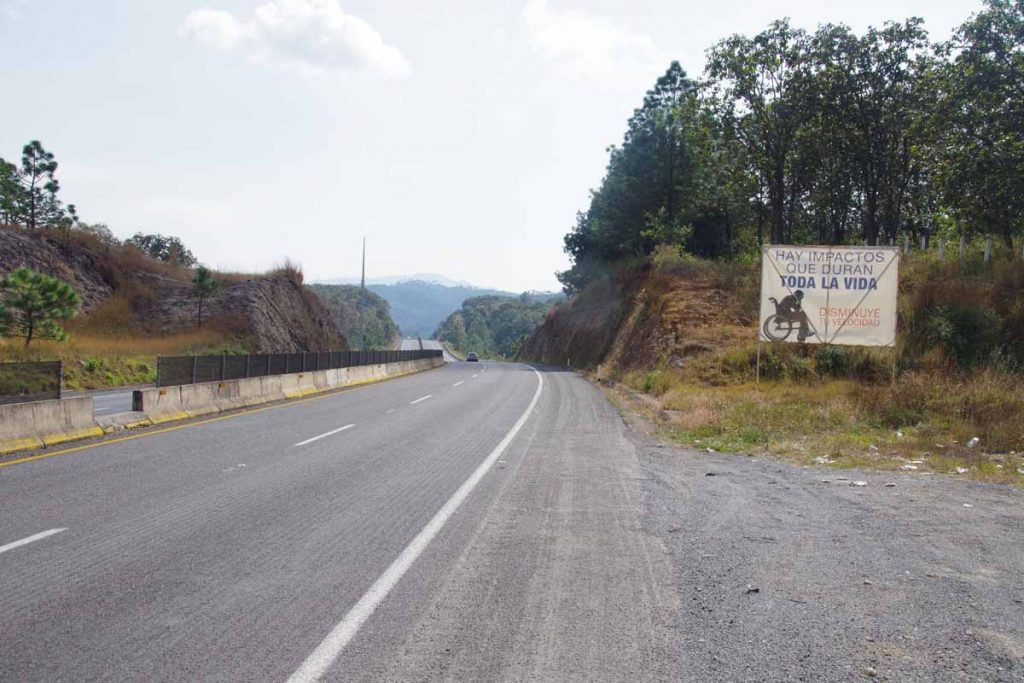
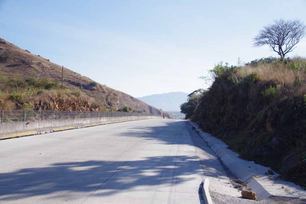
Several climbs today, though overall 800m of climbing was less than the last two days. After 25km the road turned to a concrete highway. It wasn’t marked at first.

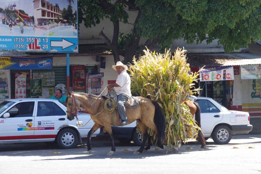
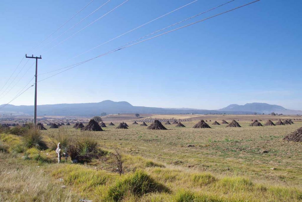
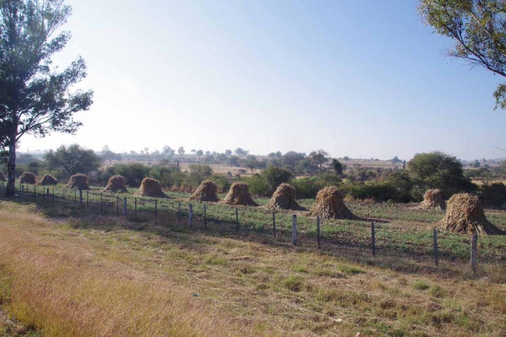
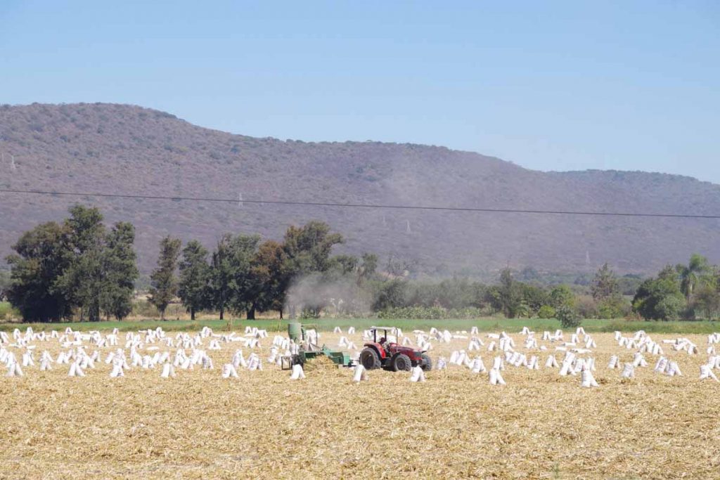
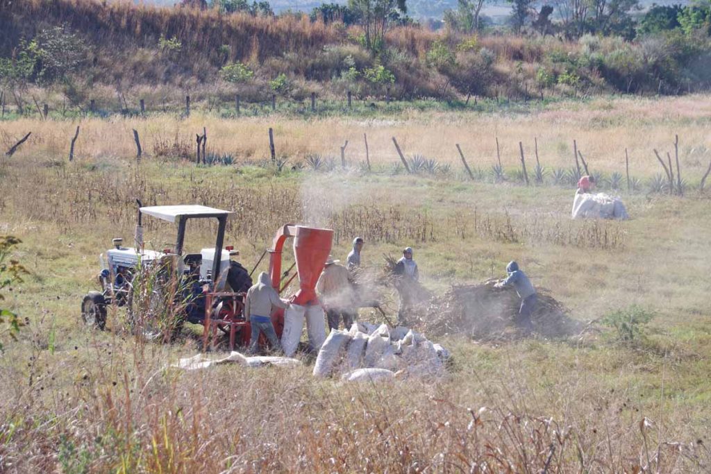
These folks below were shredding some of the corn stalks and putting them in bags.

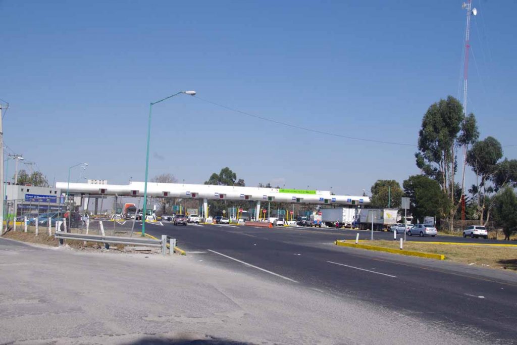
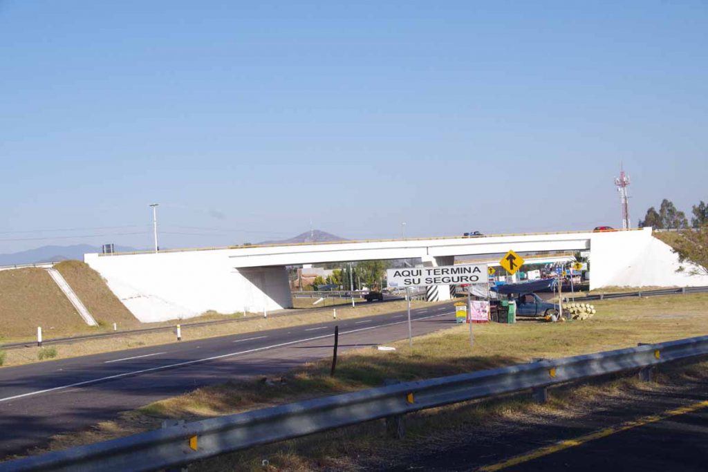
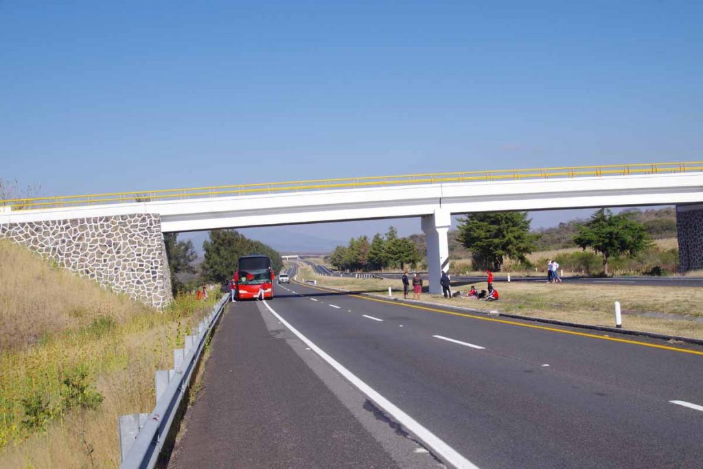
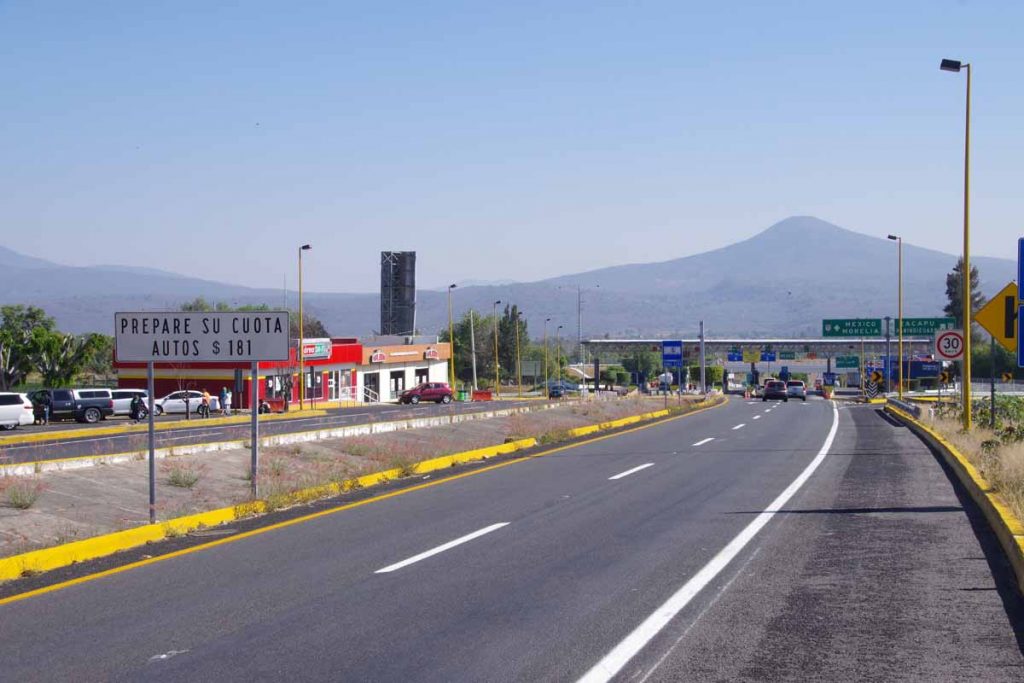
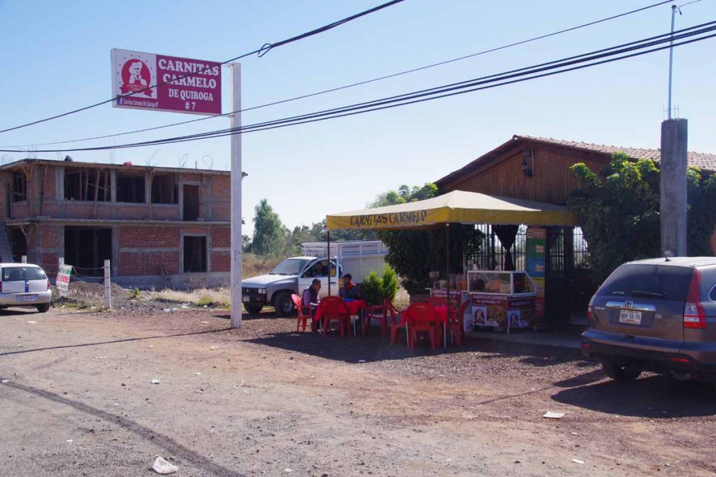
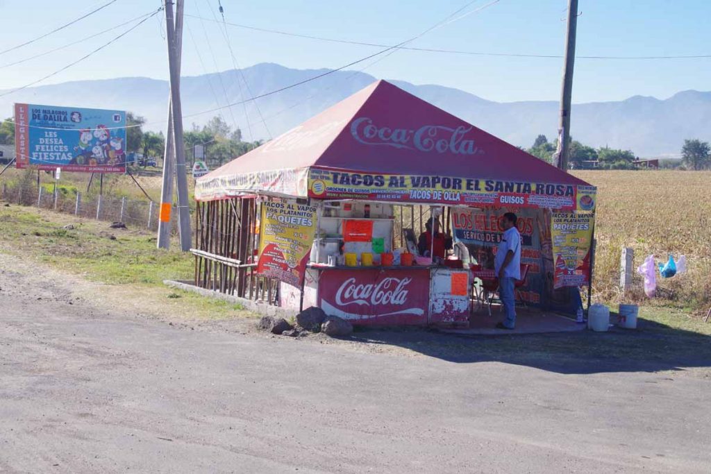
At 37km, I came to a toll plaza and following this was an OXXO.

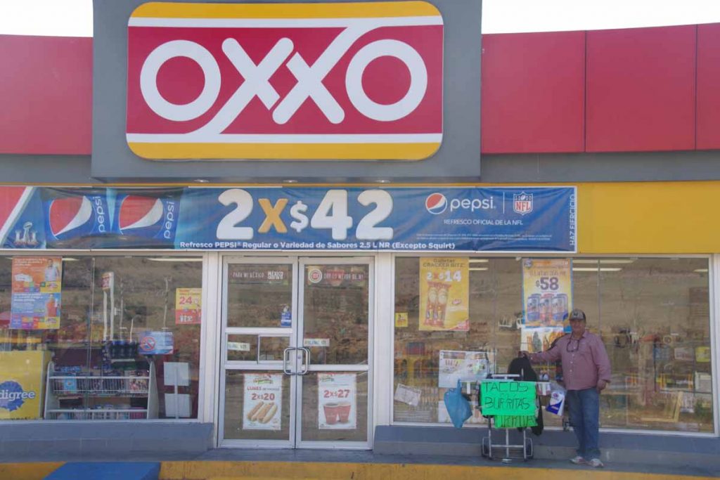
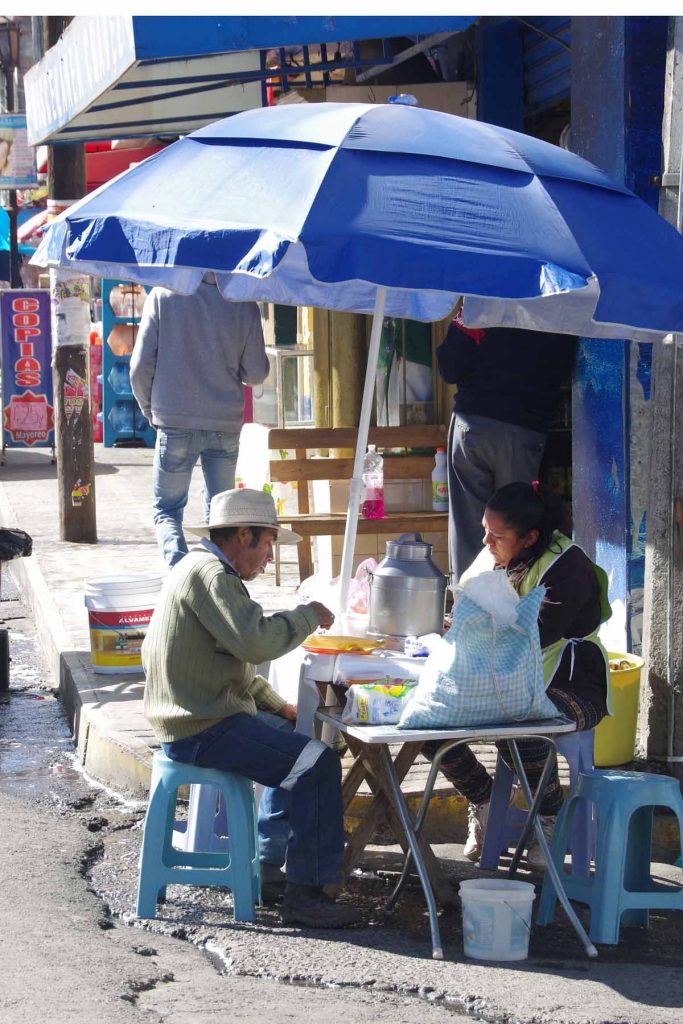
What I thought was fun was this guy selling tacos and burritos in front of the OXXO. I had an early lunch here including some of his burritos.

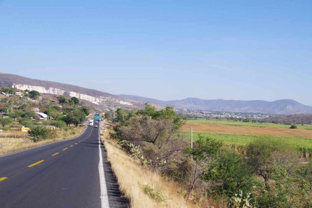
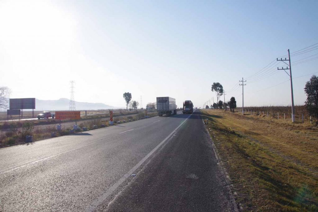
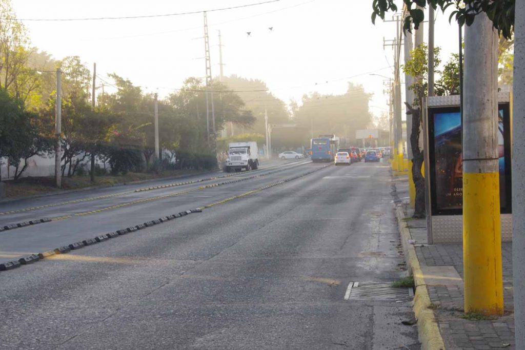
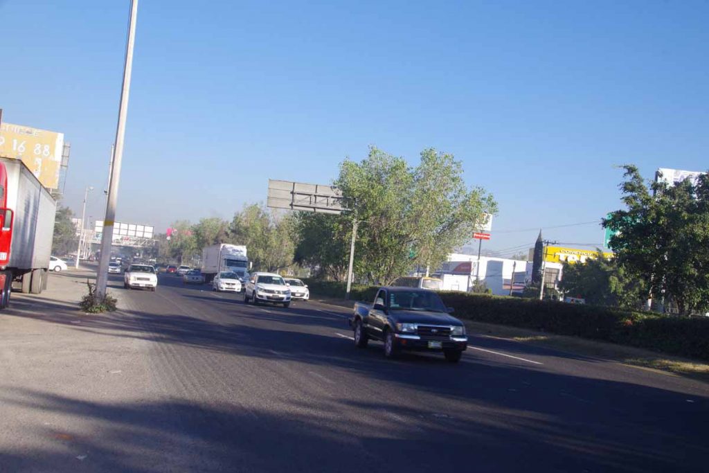
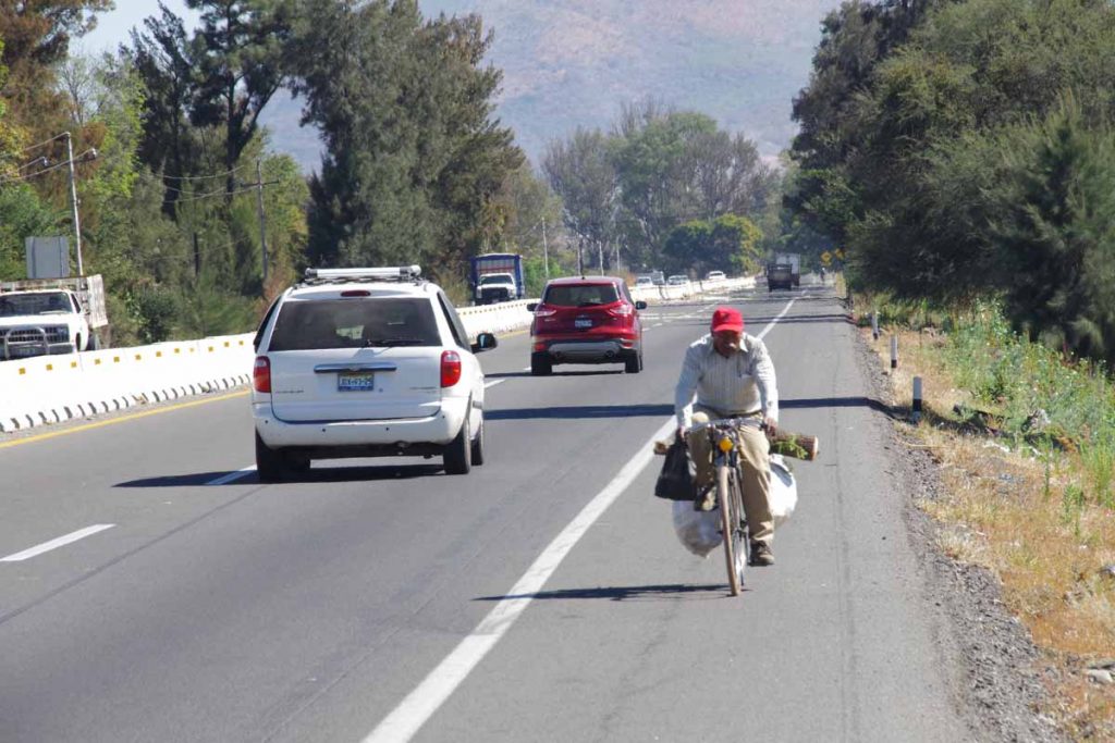
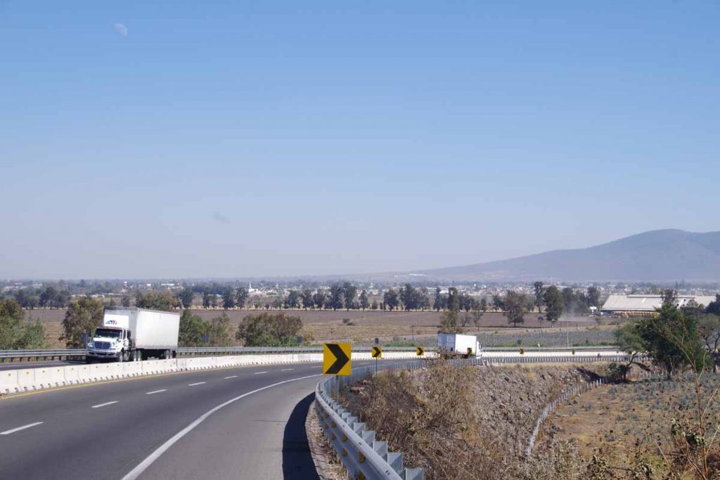
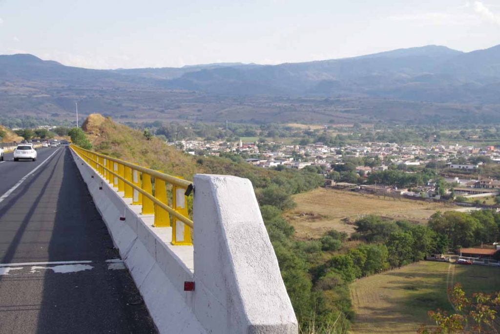
It was another 11km before the cuota ended and merged with the libre. I was anticipating a difficult ride the next 10km since several cycling journals had complained about lack of shoulders combined with heavy traffic. Perhaps my expectations were set low, but it was easier than I expected. At times the shoulders did go away and in one construction zone of 2km, there pretty much was no shoulder. However, as much as possible, traffic gave me room. I had my mirror and concentrated on carefully riding the white line (sometimes to the right there was drop off into a ditch) and all went well.

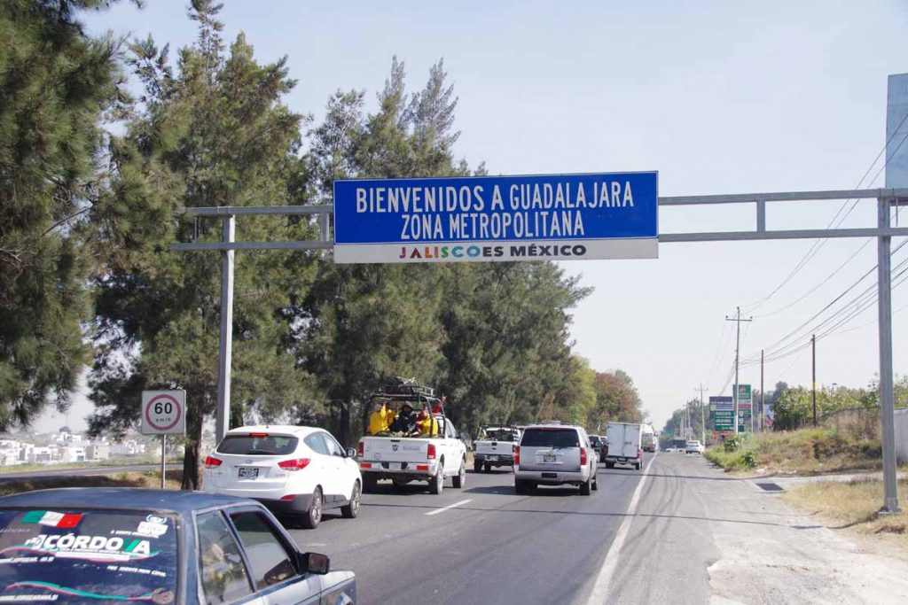
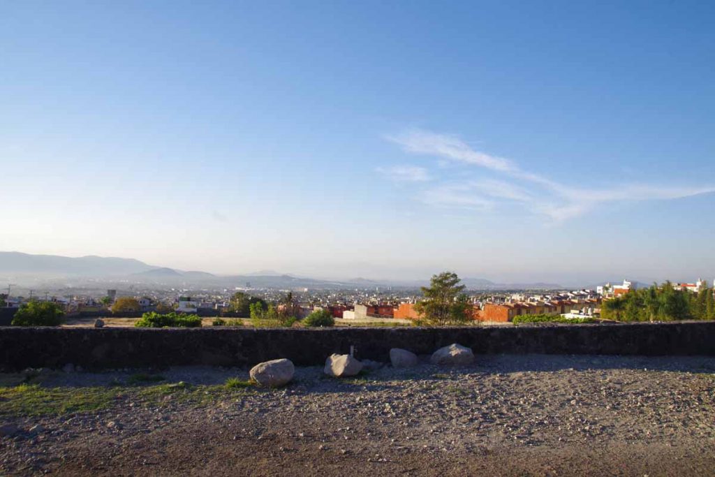
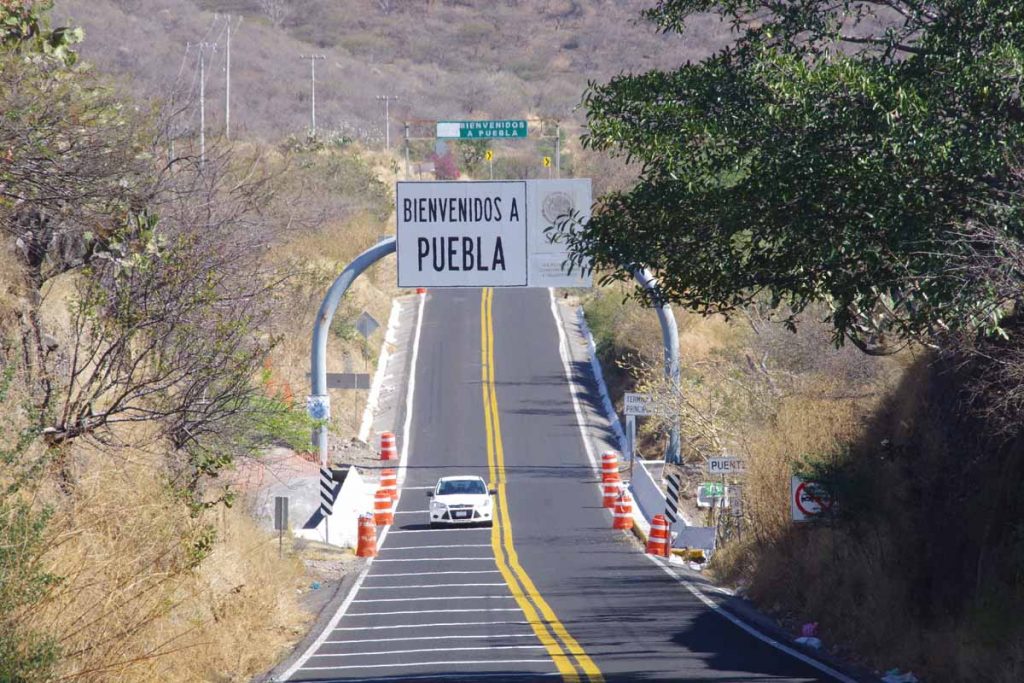
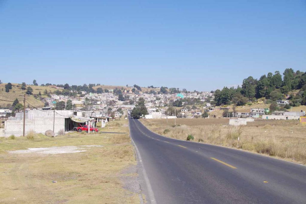
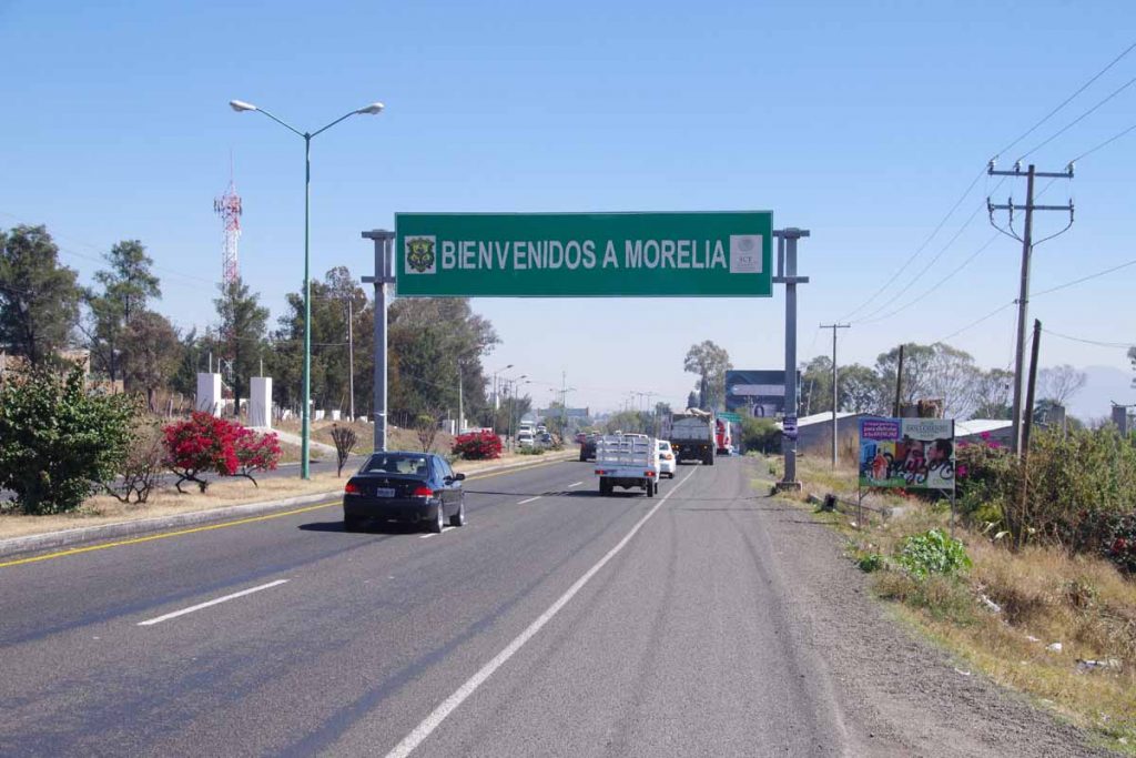
Here was entrance sign welcoming to Guadalajara metro area though I still had more than 15km to go. This spot had a shoulder but areas without were just like this except for the shoulder. Traffic also wasn’t driving real fast.

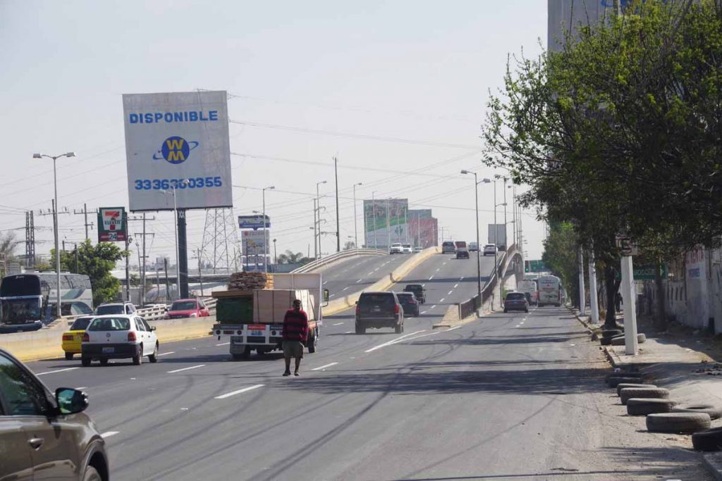
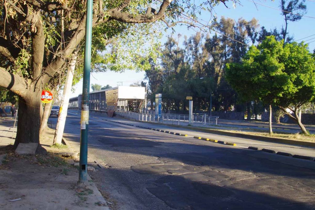
At 61km I crossed the ring road and it took some more care. There often was the main road in middle that merged with frontage roads on both sides. The trick was that you weren’t always sure if frontage roads would continue. So I’d pull over, stop and get out Google Maps on cell phone and figure out best I could – since it wouldn’t make sense to get onto that middle section unnecessarily.

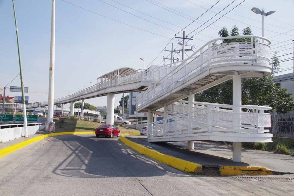
At this point the frontage road did run out. However, I walked my bicycle over this pedestrian overpass crossing several large highways. It was slow but without too much trouble, I found my way into middle of Guadalajara and to a hotel I had reserved online for two nights.

Hooray, nice to get here!

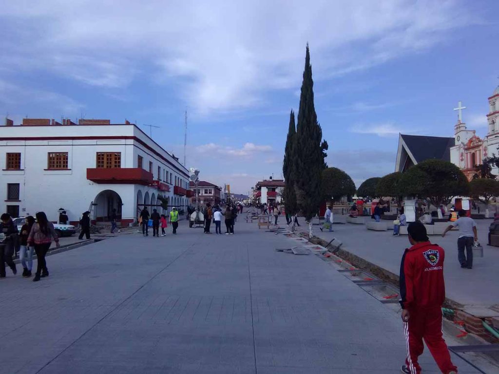
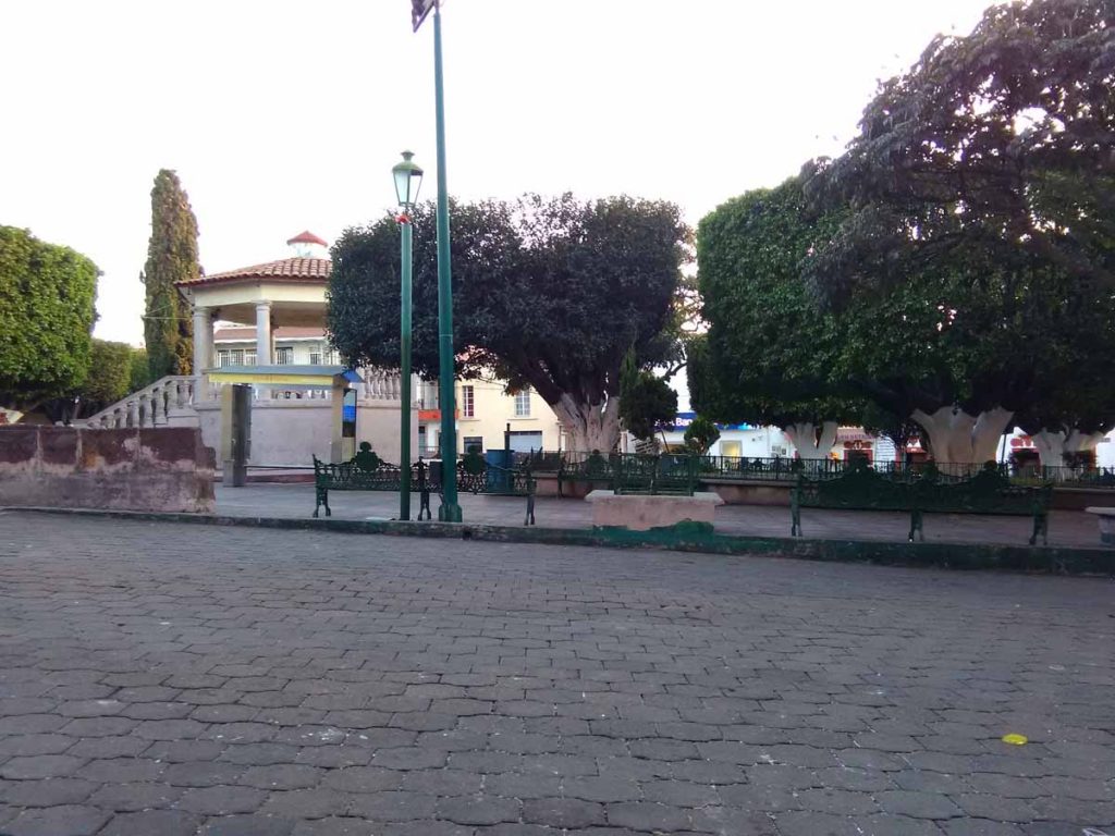
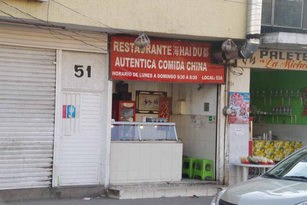
I’ve only done a short walk around, but few things I see so far in my touristy location:

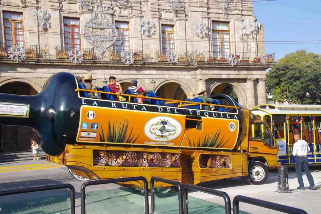
Lots of tourists, these ones riding in a tequila bottle shaped vehicle.

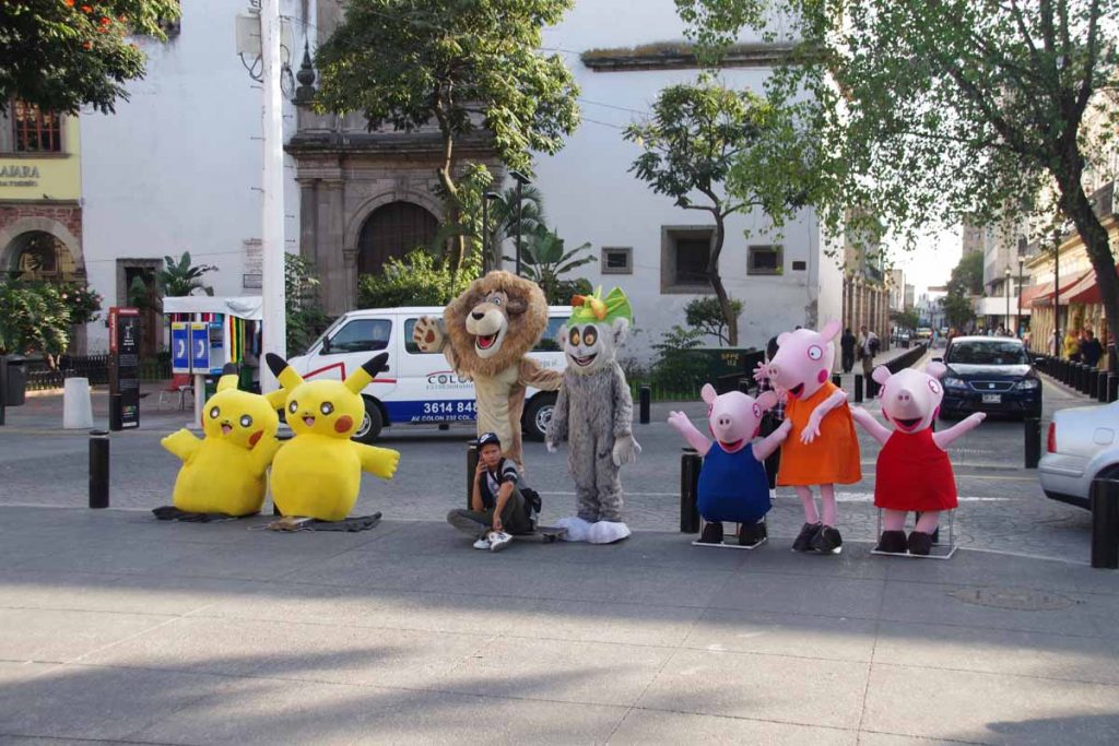
For a fee, you can get your photo taken with these characters. I think the bored looking guy is there to hustle the business.

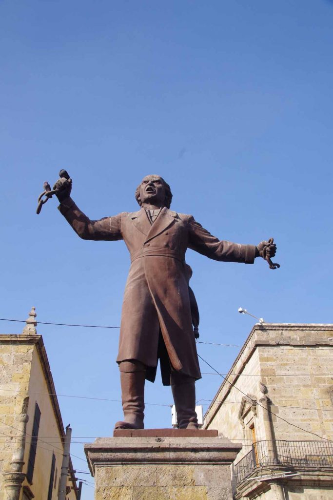
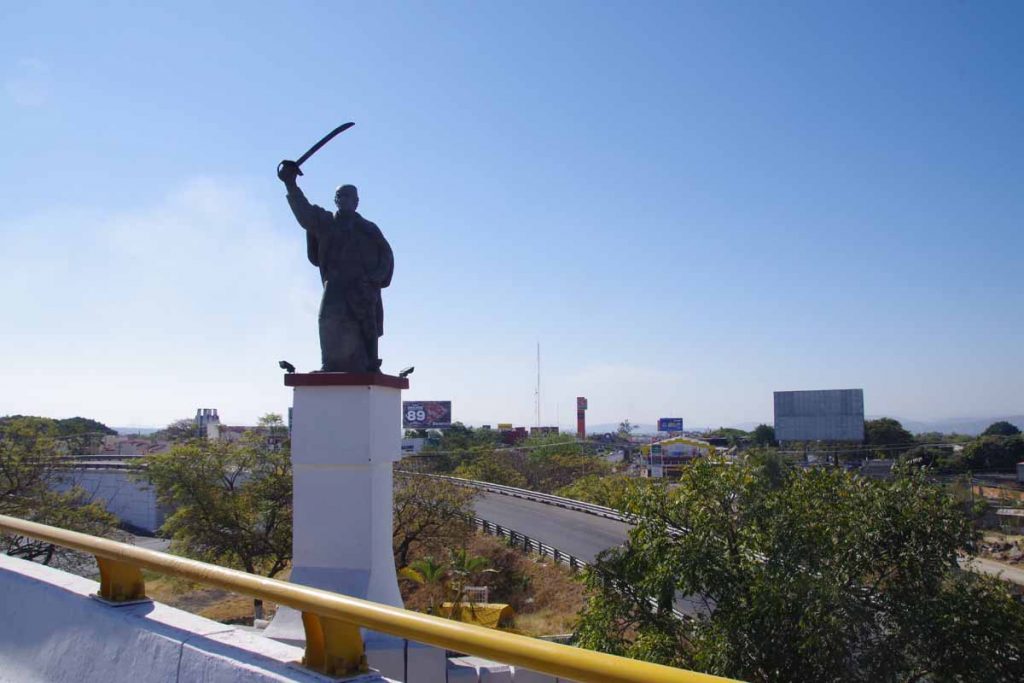
Statues of revolutionary patriots, though perhaps not quite as fierce looking when they wield pigeons in their hands.

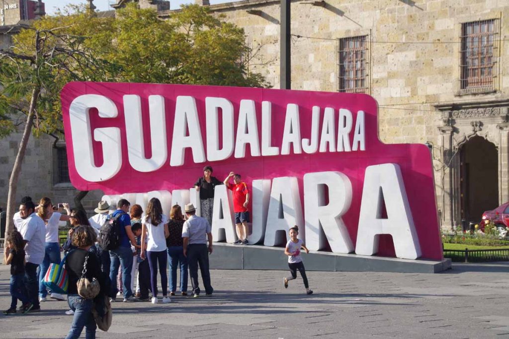
More photo opportunities.

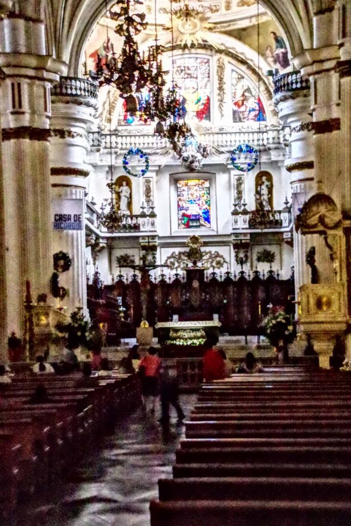
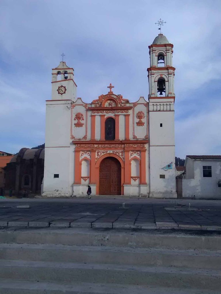
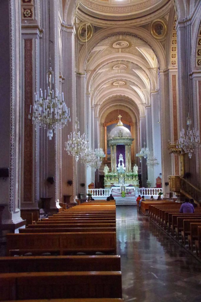
Church itself is large, elaborate and beautiful.

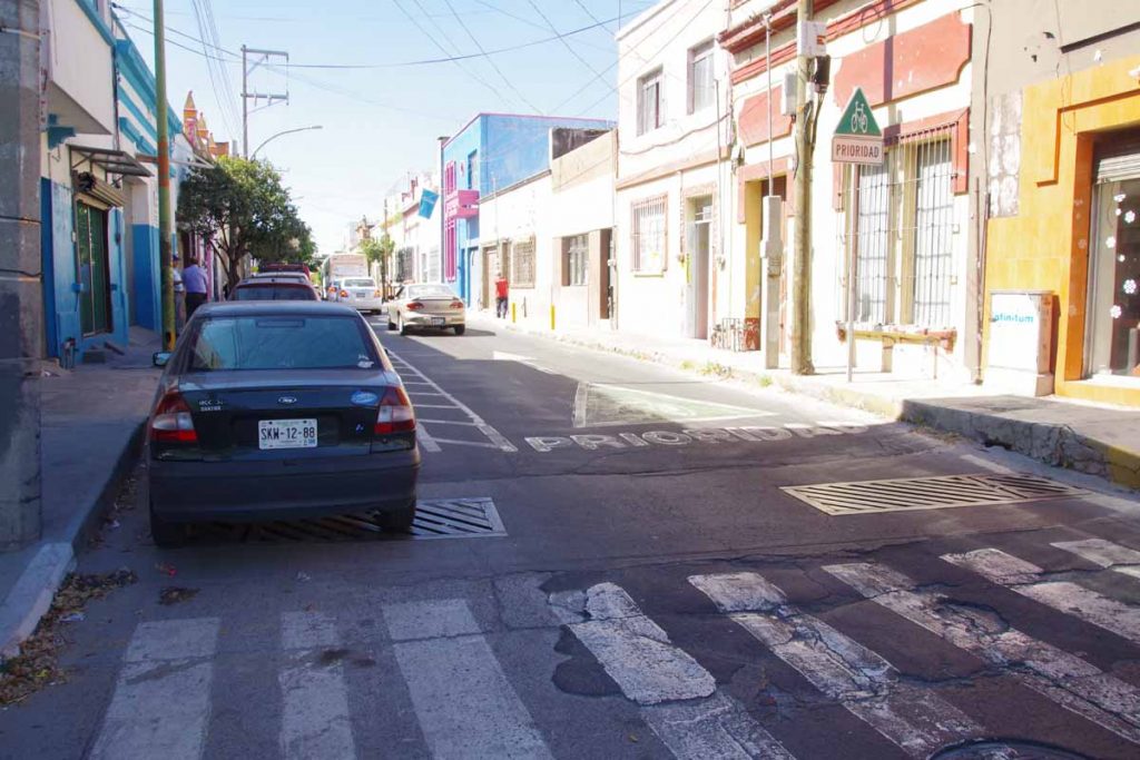
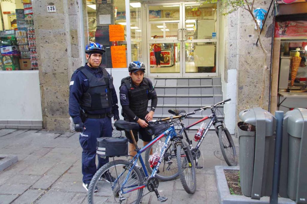
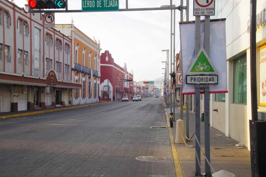
I’ve also noticed in my short time that Guadalajara seems to be a bit bike friendly. I’ve seen bike lanes (though not on roads I picked) and cops on bicycles.

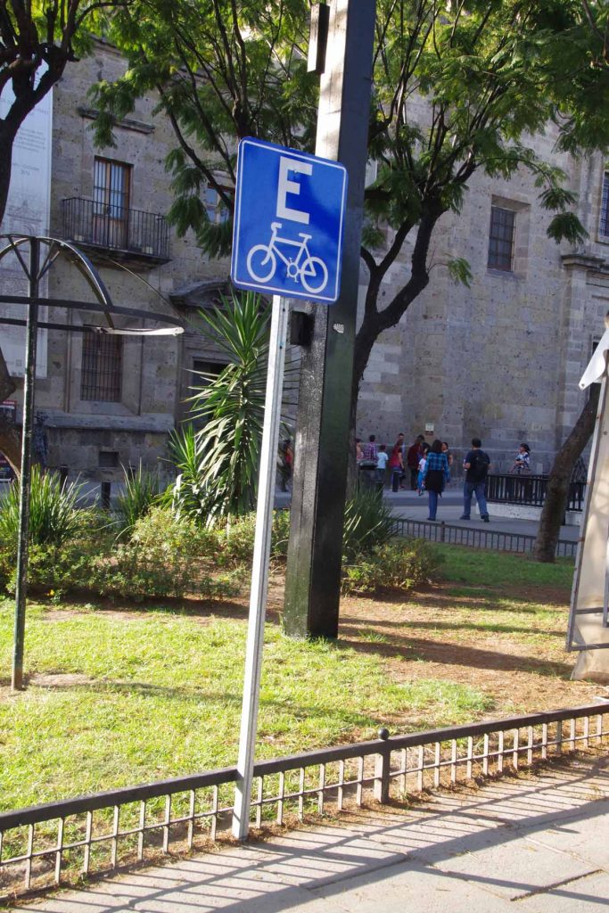
Here is bike parking.

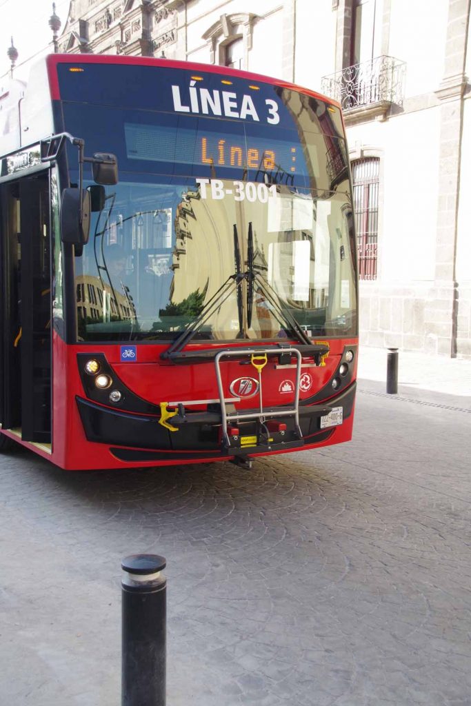
Buses with bike racks on front.

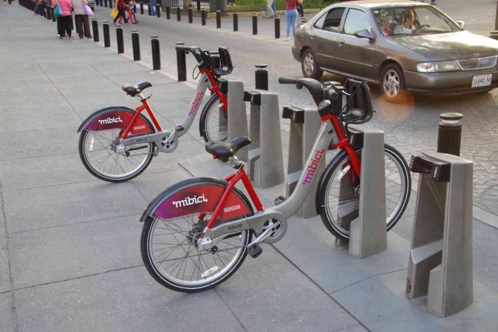
A bike share program.

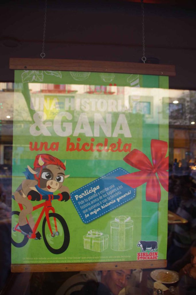
Sirloin Stockade restaurant had a “tell us your bike story” contest going on. Also a good buffet.

While bike is riding well, tomorrow might see if I can find a shop for quick check/service on brake pads and chain. I’m guessing I’ve gone ~1/3 of distance from San Diego to Panama City and this will be one of the better opportunities to have everything checked. Also a good chance to review maps and journals to figure out best routes. Thinking of Toluca, Oaxaca, Tapachula to finish Mexico, but want to see what other bike tourists have done. For now, nice to find myself here in Guadalajara.

Posted in Jalisco, Mexico, Narayit

Ixtlan del Rio

A bicycle ride across the Americas Posted on 2017-01-01 by mev2017-01-01

A day with solid climbing to start 2017. Happy New Year! My odometer recorded 1098m of climb today, only slightly less than the climbing day into Tepic. However, rather mostly one longer climb (with pauses) from sea level – this had some more rolling terrain and one long descent so I ended up barely 150m higher than when I started. It was also cooler and drier as highest elevation today was a little over 1500m.

Got to sleep early and slept through the New Year. Next morning streets of Tepic were very quiet. Took the photo above to also show that I found a marked bike lane. It wasn’t so obvious with the traffic chaos the day before. One also needs to be careful with street grates with slices at an angle.

First 9km were making my way through the city. I stopped at OXXO for yogurt and refill on water.

After this once again a choice between libre (free) and cuota (toll) roads. I took the cuota again. Today continued with good shoulders though the road was also four lanes the entire day. It was quiet in the morning, but seems like this road is slowly getting busier. Not long after leaving Tepic, the road started a 200m climb, photo above is near the top looking back at Tepic.

After this it was level with slight rolling hills until the first (and only) toll stop today at 32km. Also here was small store to get a drink and a snack.

The timing was just about right because soon thereafter was nearly 300m of slow climbing. Near the top I even saw pine trees. Also seems slightly cooler and less humid than previous days.

From here the road had rolling hills. Sign above shows the traffic awareness sign, my rough translation “these impacts can last a lifetime, reduce your speed”. It was steady riding though stopped every so often for brief rest.

About 59km was highest elevation for the day followed by almost 400m of descent. Down, down, down and to the turnoff to Jala. It was one more hill from here and then I could see Ixtlan off to the right.

I found my way into middle of town and reasonable hotel. There weren’t too many places open. Not sure if it is the town or New Years Day.

However, the stall selling Chinese food with an enthusiastic salesman was just right for dinner. Unfortunately, our combination of Chinese, Spanish and English wasn’t quite complete enough for me to figure out what brought him here to this small town in Mexico.

Posted in Mexico, Narayit

Post navigation

← Older posts
Newer posts →
©2025 - A bicycle ride across the Americas - Weaver Xtreme Theme
↑