↓
 

A bicycle ride across the Americas

from Deadhorse (SCC) to Ushuaia (USH)

  • Home
  • Plan
  • Blog
  • Photos
  • FAQ
    • Why?
    • Where?
    • What next?
  • Map
  • Equipment
  • Calendar
  • Countries
    • USA
      • Alaska
      • Montana
      • Wyoming
      • Colorado
      • New Mexico
      • Arizona
      • California
      • Texas
    • Canada
    • Mexico
    • Guatemala
    • Honduras
    • Nicaragua
    • Costa Rica
    • Panama
    • Colombia
    • Ecuador
    • Peru
    • Bolivia
    • Chile
    • Argentina
  • Weather
  • Links
  • Contact
Home - Page 24 << 1 2 … 22 23 24 25 26 … 33 34 >>

Post navigation

← Older posts
Newer posts →

El Rosario

A bicycle ride across the Americas Posted on 2016-12-03 by mev2016-12-03

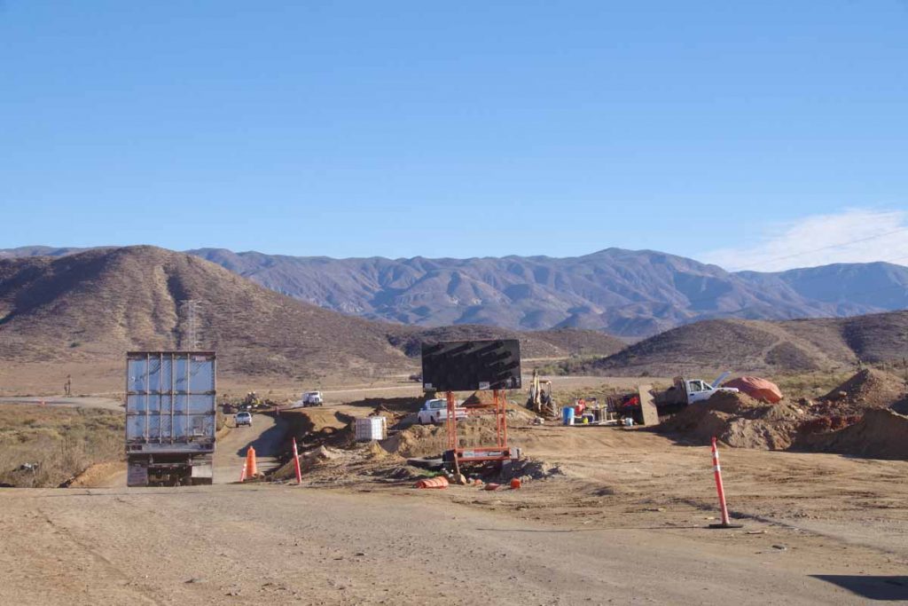
Changing landscapes as I left agricultural areas and cycled a stretch of desolate coast before reaching El Rosario.
imgp4631
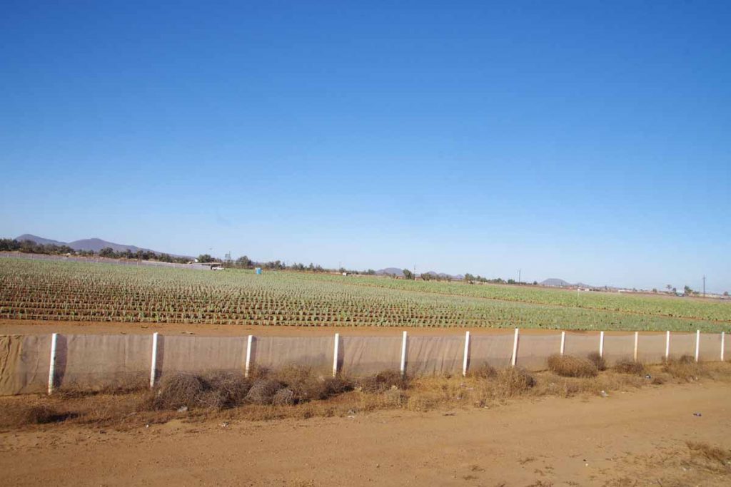
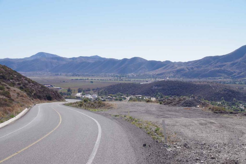
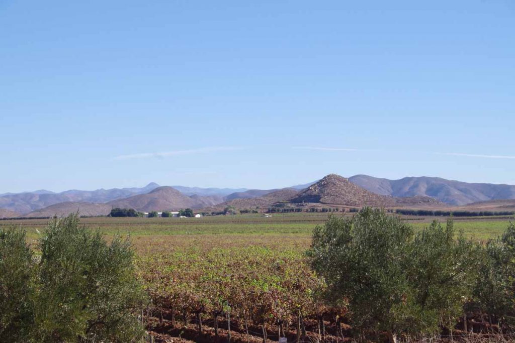
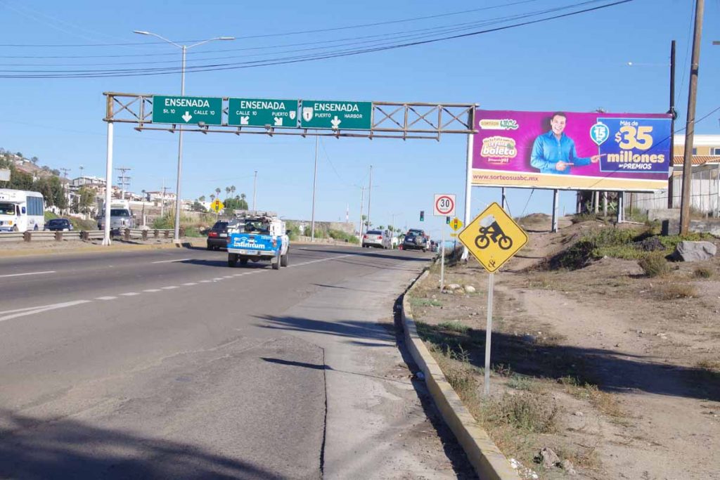
The first third of the ride similar to yesterday, a mostly agricultural area with a lot of road traffic and occasional signs of the coast with RV parks or fishing signs. Above was a field of cactus that was growing nicely in rows.
imgp4632
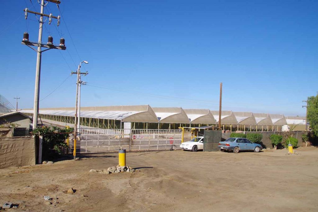
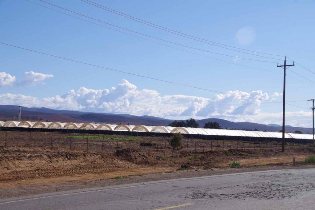
More of these covered structures with crops growing inside.

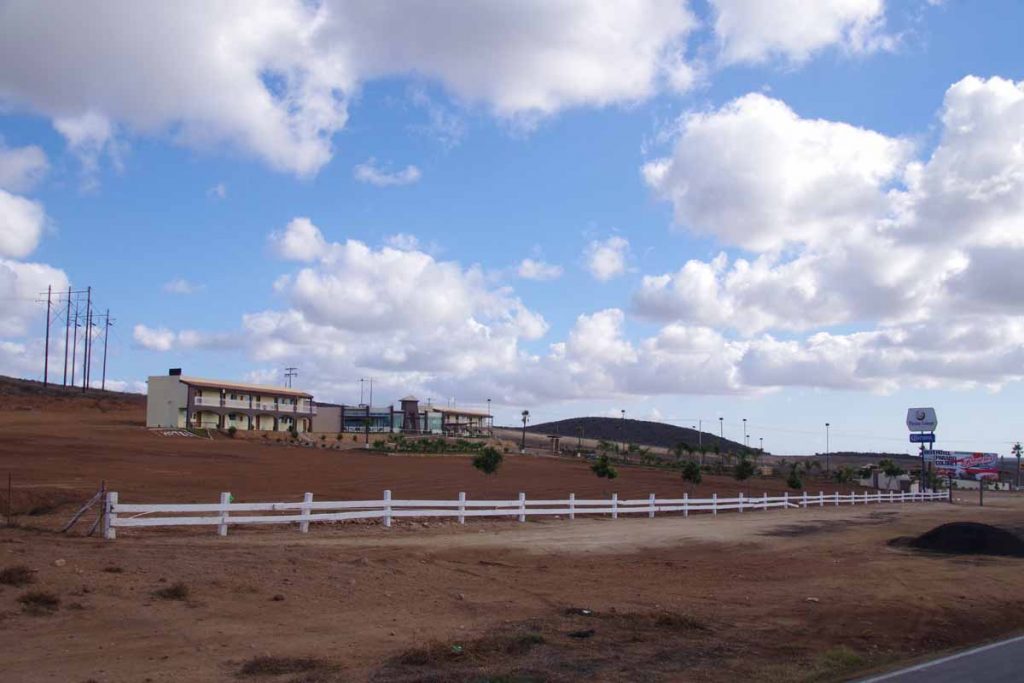
At 16km, there was a truck stop designated as “rest area” in Los Pinos. Stopped for a short break. Not much after this, I passed turnoff to “Santa Maria” with hotels and resort locations and not much further the agricultural area stopped. The amount of traffic on the road also became considerably fewer. Still occasional 18-wheeler trucks but a lot fewer cars.
imgp4634
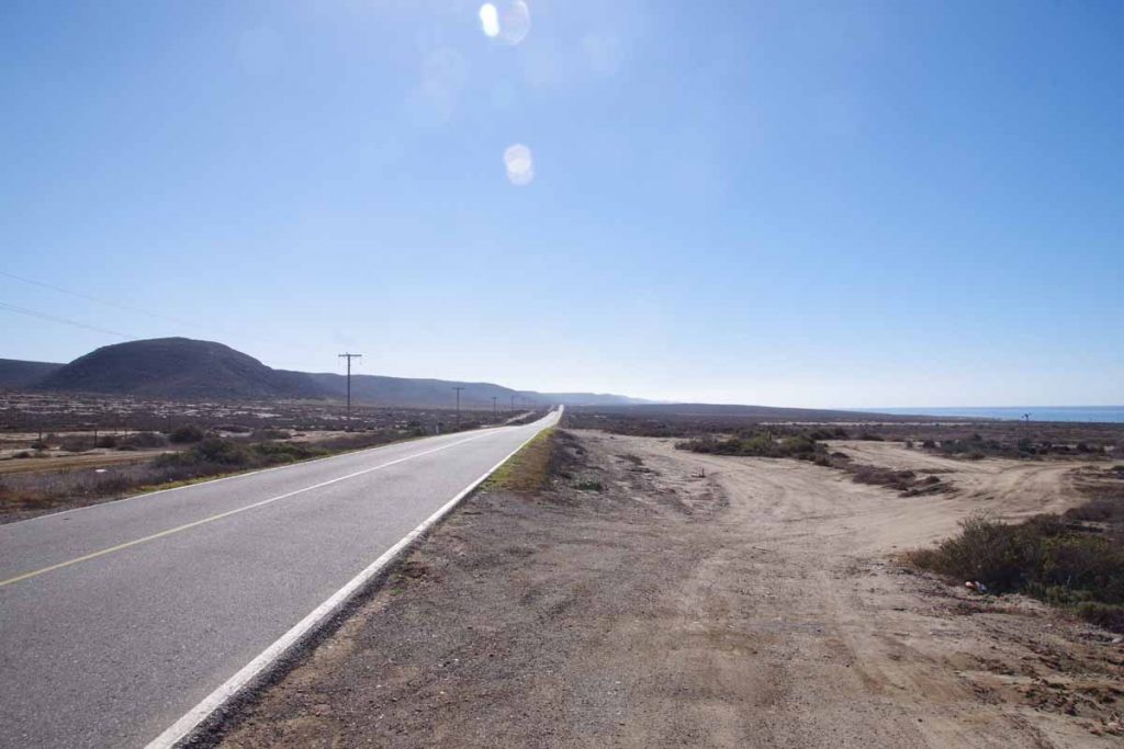
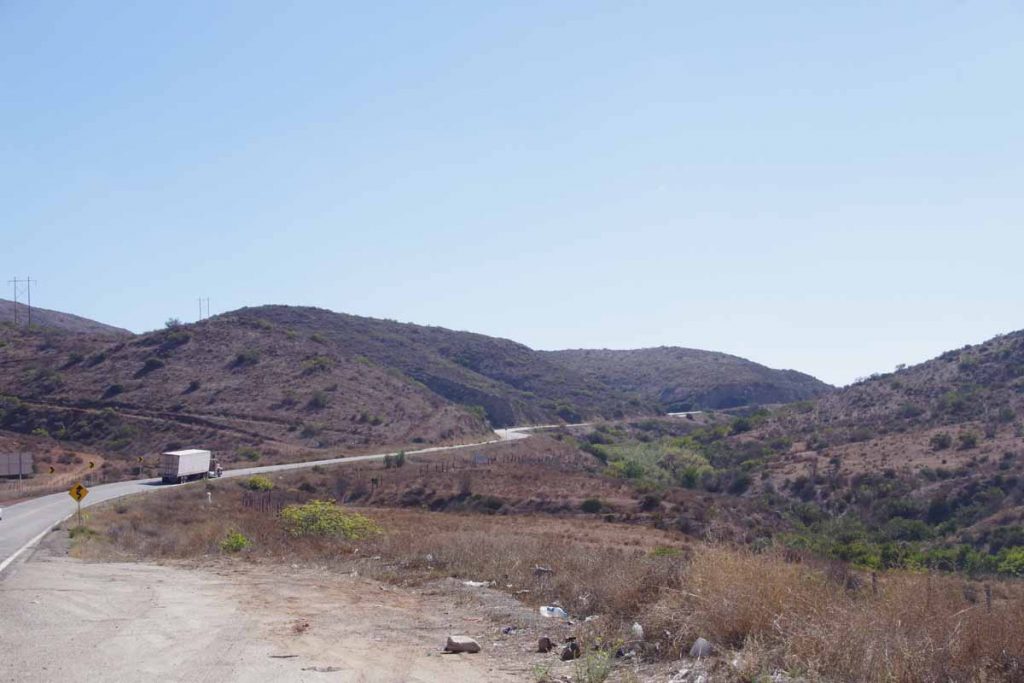
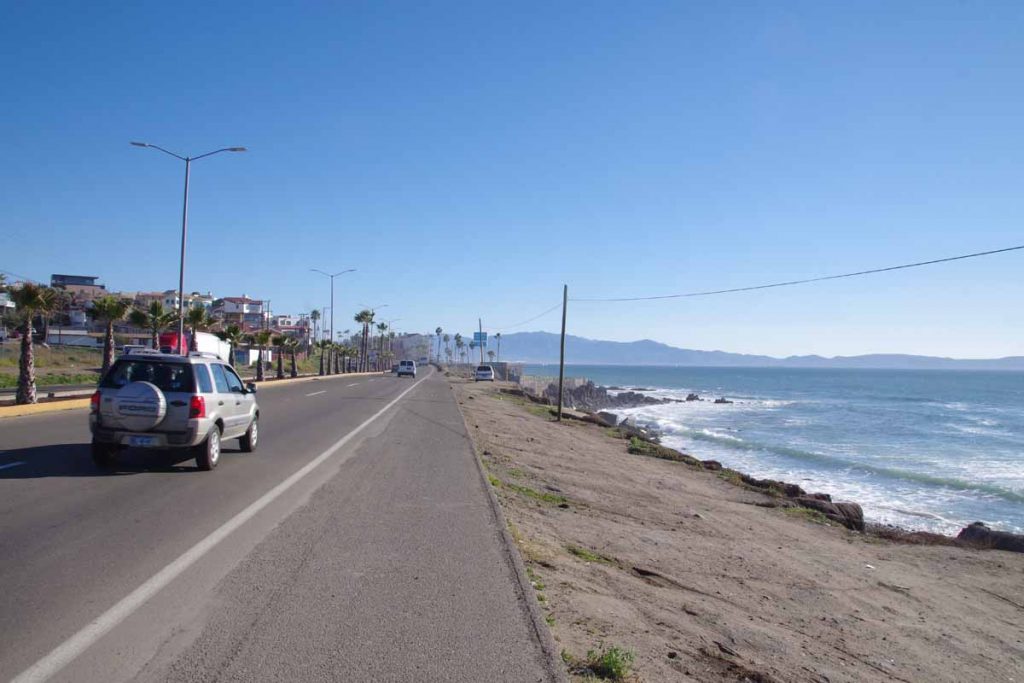
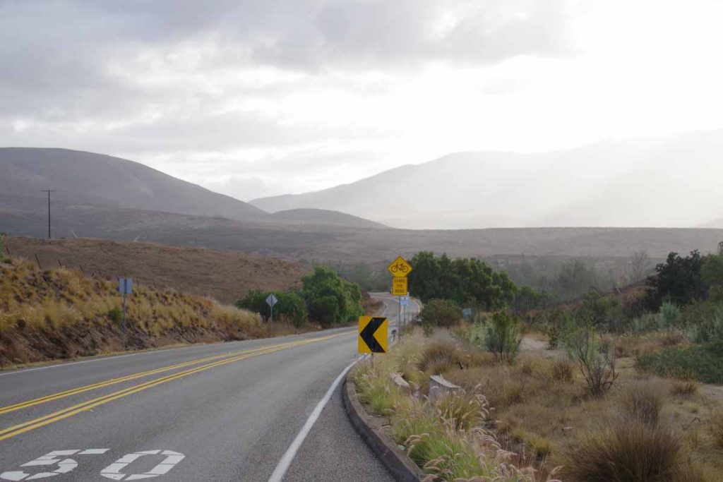
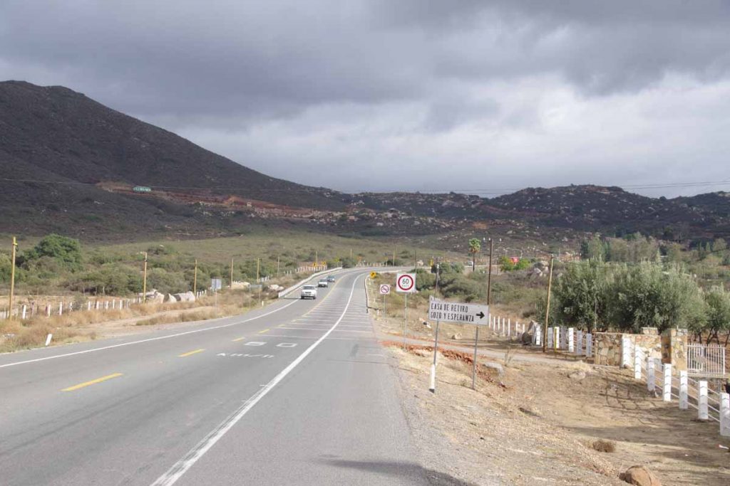
Photo above shows some of the more desolate coastline. I did see one or two places that were advertising lots for sale (in English as well as Spanish) with water and power available.
imgp4637
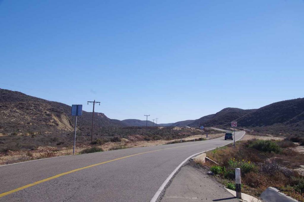
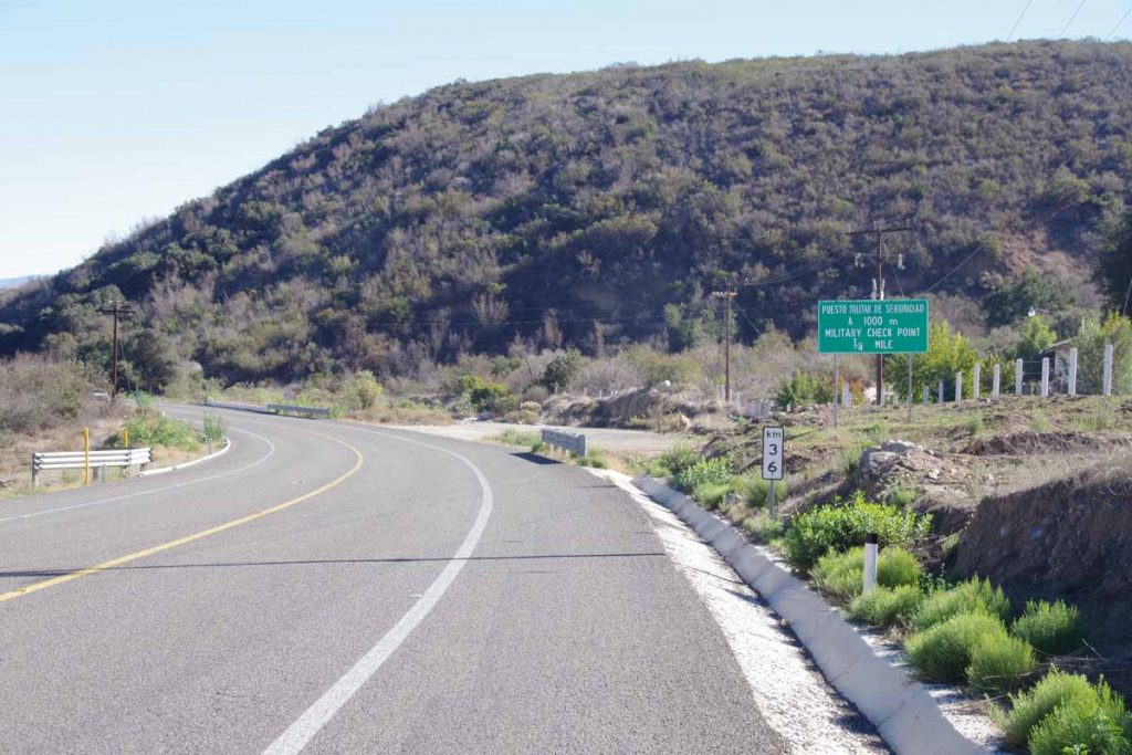
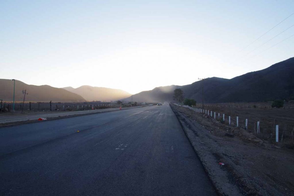
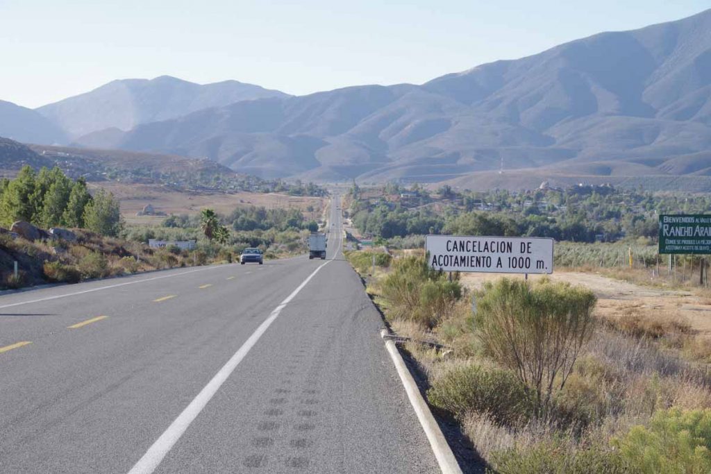
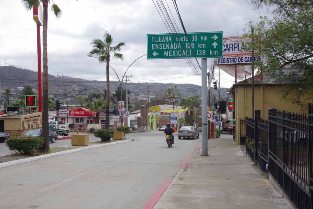
The last 10km, the road turned inland and slowly climbed a large hill. At top was another military checkpoint and then a steep descent into El Rosario.
imgp4638
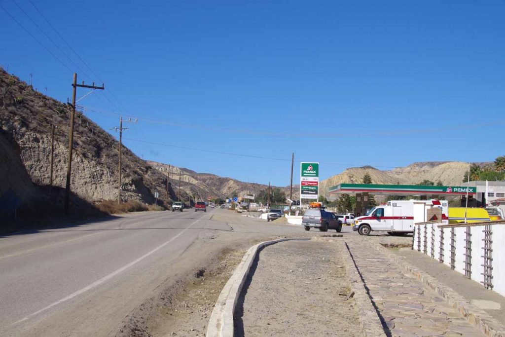
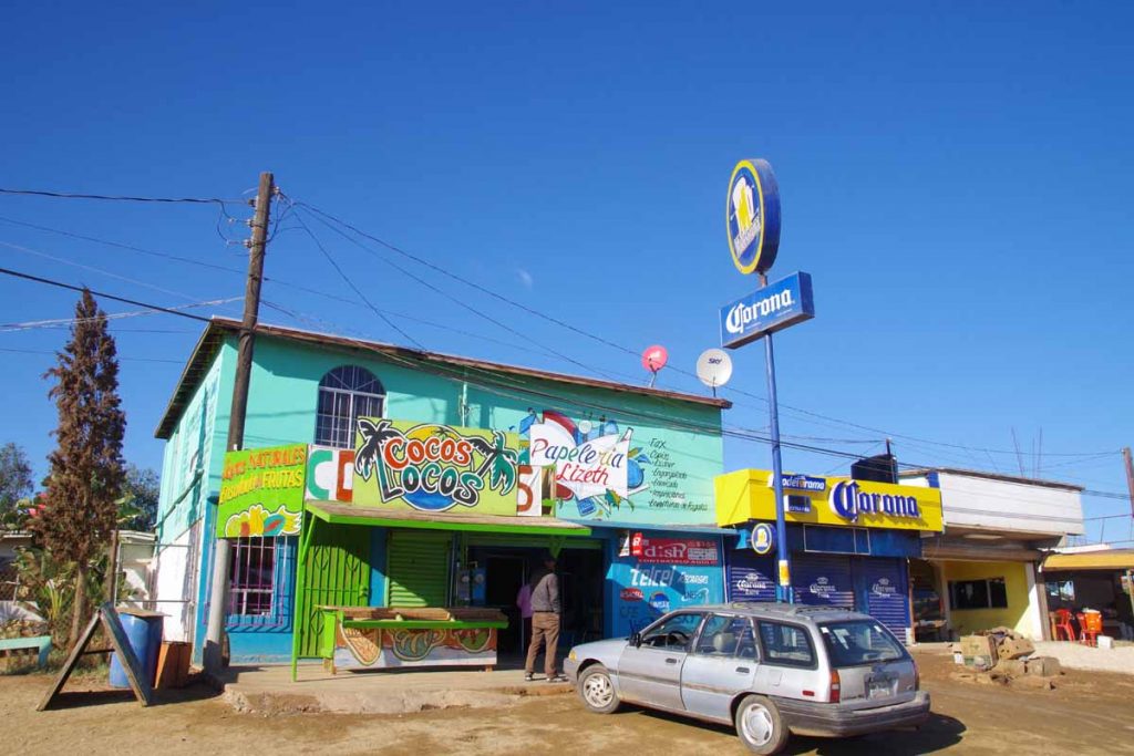
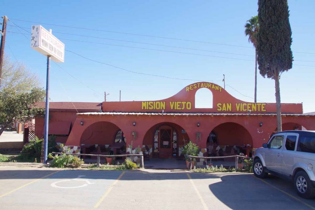
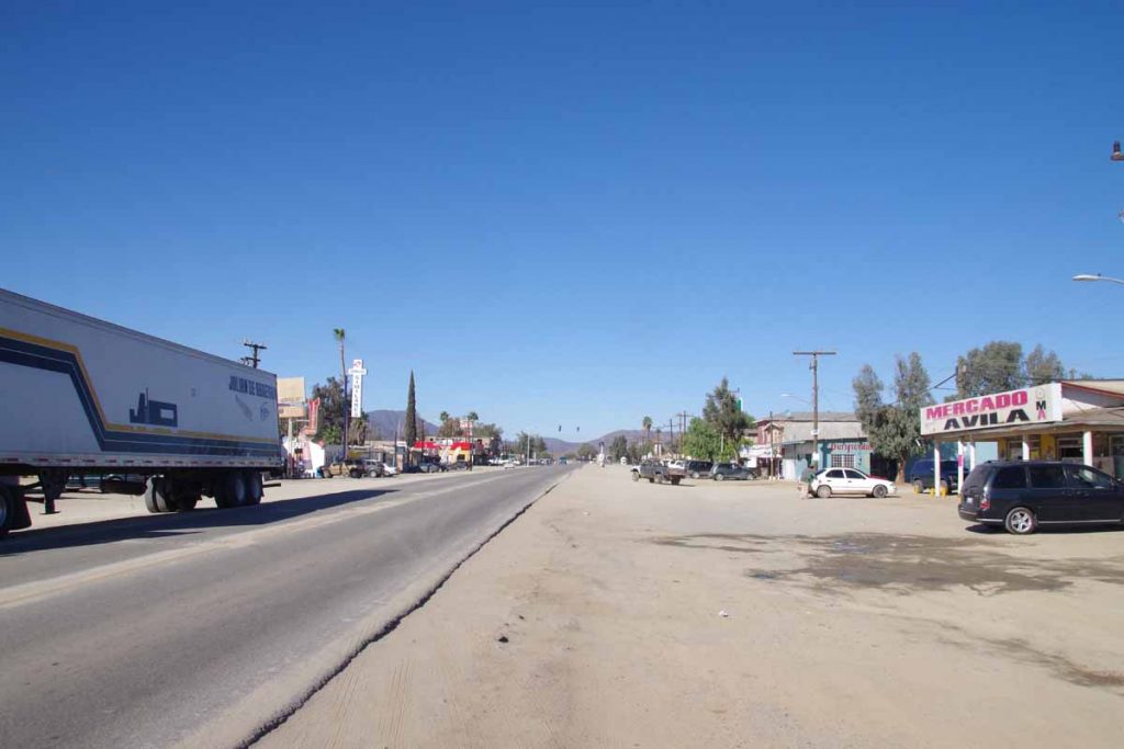
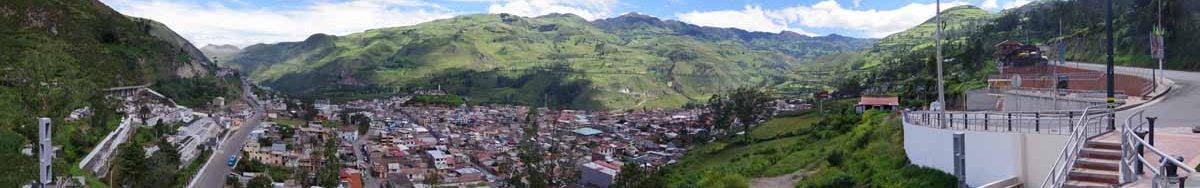
A photo of part of the town looking up the hill.

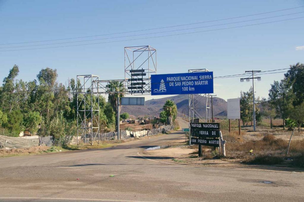
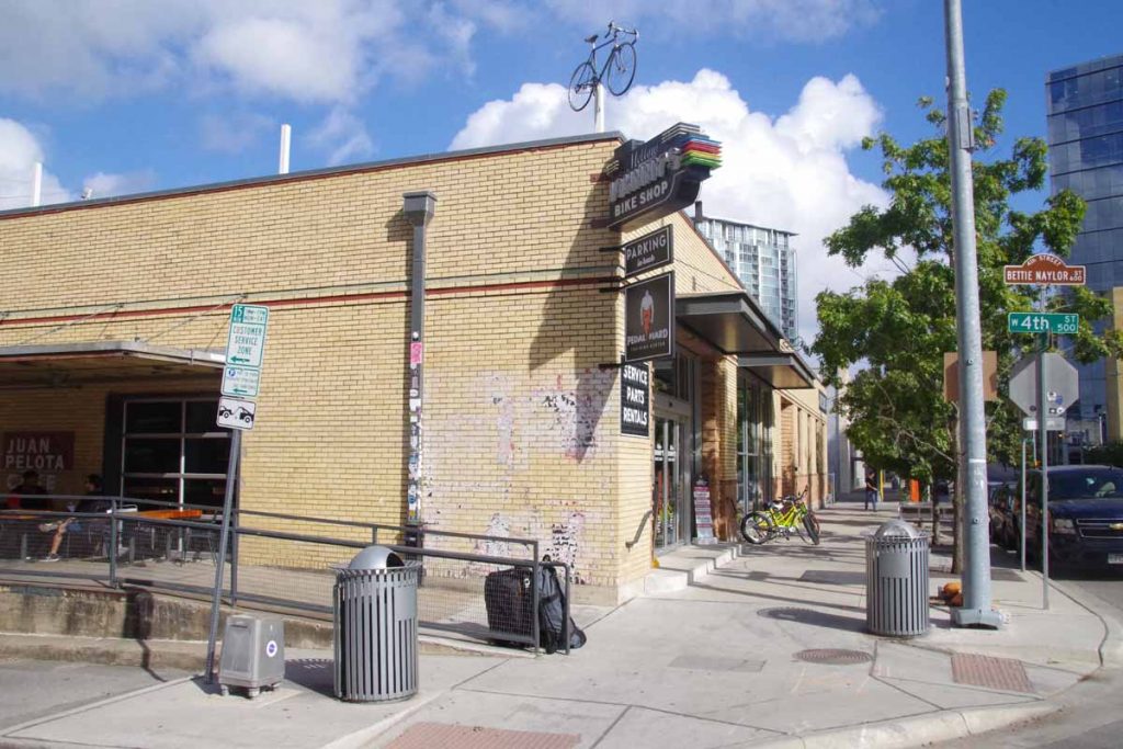
The next 360km goes inland and through the desert. Other folks have written journals like this one that give more details of what is found along the way. It doesn’t look as desolate as one might expect, so plan on bringing some extra food but also getting things along the way as well. From what I’ve read, the desert looks like an interesting ride.

Posted in Baja, Mexico

San Quintin

A bicycle ride across the Americas Posted on 2016-12-02 by mev2016-12-02

Today was a change from last few days. Rather than going inland from valley to valley, it was much more of a straight road. It was flatter terrain with just a few drainages to cross. Overall perhaps 5-15km from the ocean which I could occasionally see in the distance. Even here there were signs for fish or occasionally to an ocean RV park. Also have seen a few more hotels in these settlements.
imgp4625
There were also several small settlements along the road and more of an agricultural area.
imgp4626a
I passed a turnoff to a national park. I get the sense that one will have different perspective staying with the trans-peninsular highway e.g. route 1 vs. going inland to some of these more remote areas.
imgp4627a
There continue to be occasional little shrines along the road. More elaborate than simple crosses or markers I see in US or Canada.
imgp4629
Here is an example of agriculture. Several of these crops seemed to have temporary covers placed over them. I saw some fields where the covers were half there so either busy putting them up or bringing them down. Some of these fields had many cars presumably for field workers. Not quite sure what crop this is.

Also along this part of the route, I’ve seen multiple “solicita” type signs for help wanted at various places.
imgp4630
This was bike shop with lots of bikes.

Overall a fairly easy ride today. Distance wasn’t far (61km) and road was flatter. Still a narrow road of varying condition but traffic seems to give plenty of room or slow to wait to pass – so can’t complain there. Overall, I expect another similar day riding to El Rosario with agriculture/towns/beaches/tourist places/traffic before then cutting inland across a longer stretch of desert. Fewer cars there and also a lot fewer settlements or places to get things.

It rained overnight, but as you can see from the photos, I’ve been fortunate with many sunny days and nothing too bad as far as wind goes.

Posted in Baja, Mexico

Punta Colonet

A bicycle ride across the Americas Posted on 2016-12-01 by mev2016-12-01

Two days, one of them short, brought me 125km further down the Baja Peninsula to Punta Colonet.

I had reviewed other journals to see where people had stayed and noticed that campground at Santo Tomas was well received and hotel or camping in San Vincente was not so well received so decided to make a short day to Santo Tomas.
imgp4609
The first 3km from Ensenada were along parallel to the beach. Stopped here at OXXO for brief breakfast snack and then joined the main highway #1.
imgp4610
It was busy for first 16km. First a bit of urban sprawl past large box stores (Walmart, Home Depot, Office Max, etc) and then more busy highway. There were even a lot selling “Arboles de Navidad” (Christmas trees).

There wasn’t always a shoulder, but traffic gave me plenty of room. After 16km, the road turned inland and slowly followed a valley uphill. Lanes were reduced from three to two and eventually one lane with a nice shoulder. Passed some greenhouses and also some vineyards.
imgp4612
The military checkpoint was straightforward as they waved me through. Slowly climbed up a valley and stopped briefly at 35km at restaurant/market that advertised in English “breakfast”. After that one more hill to climb and then into the Santo Tomas Valley.
imgp4613
Nice vineyard here as well as the El Palomar campground and motel. Made my way to mini-market to get some tortillas and jam for lunch and then had a relaxing afternoon. There was quite a bit of construction noise outside and in evening the roosters didn’t seem to wait until morning. However, overall would agree with recommendations that this was a nice place.
imgp4615
Next morning I was on the road early. Reports had suggested the next 30km of road could be narrow. However, it ended up better than expected. After the initial construction, there was 4km of brand new smooth road. After that it was narrow with barely enough room for two trucks to pass – and none for a bicycle in between. However, I watched in my mirror and got off the road when I saw those situations develop. It was a slow climb of 300m until I reached the 11km mark. After that, there were sections of brand new road and a few older narrower sections but the worst was over.
imgp4616
Here is a section of construction I passed.
imgp4617
At 39km I was in San Vincente and had a nice late breakfast at this restaurant. Tortillas seem to come with everything including breakfast omelets.
imgp4618
Lots of people and some stores along the road, but you can see how even through town the paved section is narrow.
imgp4620
There was an international hamburger place (though I’d just eaten breakfast, so no point in stopping).

The riding after San Vincente was pretty with a mixture of agricultural plots like the vineyard below
imgp4621
As well as areas of low scrub without crops growing on them. These seemed to separate one valley from the next.
imgp4622
Overall 800m of climbing on the second day, so a few different valleys. At 75km I came to first parts of Colonet. I had read of a hotel with good reviews. I didn’t find it initially so circled back when I reached edge of town. It turns out it was further up the hill and off by itself.
imgp4624
Overall, two nice days of cycling as I make my way to El Rosario. At that point, the road turns inland through a larger stretch of desert.

Posted in Baja, Mexico

Ensenada

A bicycle ride across the Americas Posted on 2016-11-29 by mev2016-12-01

Nice ride today on roads that were better than I expected.
imgp4600
I was on the road at 7am again today. I stopped a few kilometers later at OXXO store to get a few breakfast items including “dulce pan”, sweet bread that seems to be a favorite. The first half of the ride today had most all the ~700m of climbing including the first 6km starting up the hill.

On the way down, the “cancelacion de acotamiento” sign which had me stop to look up (unsuccessfully) in my dictionary. My best guess was that it meant the shoulder went away, except that it actually didn’t. Google Translate says “cancellation of boundary”. Another small town at bottom of this hill and then a good climb up the other side.
imgp4601
At 46km there were several kilometers of road construction and some old highway. Fortunately, downhill and still reasonable surface.
aimgp4602
At bottom of this hill, signs for the “wine route”. Multiple wineries, some hotels (likely upscale $$) and easier cycling.
imgp4603
Not sure exactly what these murals were trying to depict.
imgp4604
See those boxes up on the hill? I believe these are the rooms for this hotel. Gives each one a nice view as well as a private space.
imgp4605
This was my lunch spot in town of Guadalupe. Easy to eat next to my bike and a friendly guy making the tacos.

After lunch the route slowly got busier and at some point turned into two lanes each way. My shoulder now went away, but traffic still light enough that it usually passed.
imgp4606
By 90km, I had reached the Pacific Ocean and route 3 had joined the main route 1 from Tijuana. It got busier, but most of the way I had a shoulder and was reasonable cycling.
imgp4607
I cycled the last 10km into middle of Ensenada and found an inexpensive hotel. Now a chance to walk around. I got a SIM card, but somehow could only buy a 9-day service plan. Will need to see how to follow this up with a 30-day plan, perhaps online? Otherwise, a pretty ride from Tecate to Ensenada. This is a big city (500,000) but at least traffic I’ve seen so far doesn’t seem that big.

Posted in Baja, Mexico

Tecate

A bicycle ride across the Americas Posted on 2016-11-28 by mev2016-11-28

Viva Mexico!
imgp4597
Today was a straightforward ride to town of Tecate and then border crossing into Mexico. It was cool and overcast, but fortunately stayed dry all day long. I decided to get on the road early since I knew I had a lot of climbing to do and it gets dark early (~4:40pm sunset). The first 4km were flat but then climbed ~1200m over the remaining 60km today. I initially followed larger roads through suburban San Diego, most of them with bike lanes and overall not very heavy traffic.
imgp4594
At 13.5km, I came to edge of suburban development and followed Otay Lakes Road. This was flat or very gentle grade as the road came past a sky-dive center and a commercial campground. At 28km, turned right onto CA-94. This road had more traffic and not much of a shoulder. Fortunately, all relatively well behaved. My odometer had a few short sections of ~7% grade but mostly less.

Close to noon and I could see Tecate in the distance. Interestingly, I didn’t see much of town of Tecate, CA but a lot more on the Mexico side.
imgp4596
Border crossing was remarkably easy. Nothing required to check out of USA. It asked customs officials about the FMM form which I knew I would need to travel further into Mexico. I was directed first to immigration to get the form, then to a bank office and finally back to immigration to get the form stamped. Glad I had read this on internet as it would have been surprisingly easy to enter and skip getting this form.

I was now in city of Tecate where photo above was taken as I passed the square. Traffic was remarkably easy and before I knew it I was already following signs to climb the hill to Mexico 3 – the wine route to Ensenada. There seemed to be several hotels, though I had made things a little easier by making a reservation online at place ~10km south of the town.
imgp4598
I can tell I’ll need to get out the dictionary to translate signs I don’t know (I think the one above is for “snow cones”).
imgp4599
The first kilometers south of town still had a nice shoulder, but expect this to go away at some point.

Overall, crossing at Tecate was simple. I’ve already passed the border town, but still need to get a few errands in a city center such as getting a Mexican SIM card.

Viva Mexico!

Posted in Baja, California, Mexico, USA

Chula Vista, ready for Phase 3

A bicycle ride across the Americas Posted on 2016-11-27 by mev2016-11-27

Back in San Diego area.

Today I dropped off a rental car and had a short (18km) flat and somewhat rainy ride. Weather forecast says today should be worst of it and not much chance of showers from here on. Below is touring bike ready in my motel room.
imgp4593
Last Monday, I picked up a rental car and packed my belongings for a drive first to Colorado for Thanksgiving. Nice to see my parents and brother again and celebrate Thanksgiving. After that on Friday morning back on the road driving to San Diego. Stopped by REI and short errand or two before dropping off the car.

My plan is to cross into Mexico tomorrow at Tecate. I picked Tecate for two reasons:

  • The crossing itself should be a bit quieter. According to the web, this crossing sees ~1.5 million cars per year and ~0.5 million pedestrians crossing. Compare that to the main crossing at San Ysidro which sees ~14.5 million cars per year and ~7 million pedestrians
  • Reports are that Tijuana is a big and hectic city with some challenging cycling to get through. In contrast, expect Mexico Route 3 to Ensenada to be a bit quieter.

The downside to Tecate is it is a bit further away and I’ll end up with over 1000m of climbing tomorrow most of it on the small winding roads to climb back up to Tecate. Looking forward to the adventure.

Posted in California, USA

Supermoon and preparations

A bicycle ride across the Americas Posted on 2016-11-14 by mev2016-11-14

aimgp4541_2_3_fused
Just got back from a trial ride out to Bastrop State Park. Also a chance to see the ‘Supermoon’a little further from city lights.
imgp4530
On Friday, I got my bike back from the shop. I had them do a thorough servicing, tried to address things I learned from the first two phases and also got some extra spare parts. In more detail:

  • What failed in the first two phases was a derailleur as well as my hub (twice). In Portland, I picked up a new wheel that uses a different hub mechanism (DT Swiss). I hope this one does better. As a backup, I also had the bike shop fully service the old wheel so I can store it here as a spare. Some bikes attach the derailleur directly to the frame. My mountain bike uses a derailleur hanger, with idea that the hanger goes before the frame. I have a spare hanger as well.
  • What wore out in the first two phases included my tires and brake pads. I also used several tubes. I’ve got spares of all of these. I also picked up a spare disc rotor. As I understand things, in Latin America, a 26″ wheel is more common than a 700c. My mountain bike also uses 26″, though the tubes are “presta” and not the more common “shraeder” so have few extra tubes.I also got an extra seat post collar.

One can’t prepare for everything and I was encouraged in reading others journals that they periodically found and stopped in at bike shops if they had issues. Read a number of those journals, which gave me a better feel for how their trips went.
imgp4531
Another change I made was to add a front rack and be able to take a smaller set of panniers up front. This gives me better ability to carry some extra water as well as keep my rear panniers from being too overloaded. I’ve gone through some of my other gear and will likely get rid of a few things and also take a multi-fuel stove rather than the iso-butane canisters I’ve been using.
imgp4532
Overall, been a nice change of pace to be in one spot for a bit. This also gave me ability to get these mechanical changes made, stop through the travel clinic, read others journals, study some Spanish (more needed though) and otherwise prepare for trip. Plan is to go up to Colorado for Thanksgiving and then go from there to San Diego to cross the border.

Posted in Texas, USA

Austin

A bicycle ride across the Americas Posted on 2016-11-02 by mev2016-11-02

Made it to Austin and plan to be here a total of three weeks.
imgp4477
I had two more days to walk around Portland. The Bundy Trial was going on and above I caught one of the protestors. Not sure if he was doing a google of Jury Nullification on his phone or not. Coincidentally, later that day the jury returned a verdict of not guilty on almost all the counts and deadlocked on the remaining. That was bit of a surprise.
imgp4485
St Stephen’s Episcopal church in Portland has a “bicycle shrine”. Above is the explanation.
imgp4488a
Here is what it looks like overall.
imgp4486a
I believe the shrine was initially a ghost bike for Tracey Lorraine Sparling. She was killed by a right turning truck in Portland. This happened two years before I moved there and less than half a mile from where I used to own a condo. As a cyclist, it definitely gives pause and has one think about being careful. It also let to some of the “green zones” in Portland where cyclists can move up in front to be visible by trucks.
imgp4487
After that, I found my way to the Portland Amtrak station for an almost 72 hour train journey.
imgp4490
First impression on being back in Austin was, “wow, it is still hot and somewhat humid here in November. The general maxim that high temperatures in Portland are often the low temperatures in Austin seemed to hold.
aimgp4491
I walked my bike and luggage to Mello Johnny’s bike shop. I requested a full service on parts that wear as well as getting a few extra bits like brake pads and derailleur hanger. After that I took the bus to Southwest Austin.
imgp4492
Here I picked up my backup mountain bike from storage. I’ll use it or my other mountain bike around town. I have already voted. I’ve got an appointment for the travel clinic. Otherwise, a few weeks to finalized my Baja equipment list and take a short break from travels before celebrating Thanksgiving and then crossing the Mexico border.

Posted in Oregon, Texas, USA | Tagged Amtrak, bicycle shrine, Bundy, service

Portland, a new wheel

A bicycle ride across the Americas Posted on 2016-10-26 by mev2016-10-26

imgp4456
34 hours of train travel brought me to Portland. It was a nice relaxing trip with chance to sit back, read the kindle and watch the scenery go by. Sleeping in the seats is always a bit awkward, but fortunately only one night this time. Once there I assembled the bike and took the light rail to my motel.
imgp4470
Wednesday morning I found my way to Sugar Wheel Works where I had ordered a new back wheel to be built. This wheel uses a DT Swiss 540 hub, which uses a ratchet mechanism instead of pawls that flip out. What I also like about the hub is that it can be maintained without special tools. I got an extra ratchet and extra springs as well as extra spokes. Hope this wheel does better than the Phil Woods version that failed twice in my first 5000 miles. However, just in case I have the old wheel mailed off to Austin as a backup.
imgp4457
Once the bike was dropped off, I could wander through familiar haunts from living in Portland from 2009 to 2012. Powell’s is an obvious stop where I found a set of maps for the next three phases.
imgp4466
The umbrella man is classic statue in Pioneer Square.
aimgp4463
Also here was a place to drop off your (mail-in) ballot.
imgp4462
I noticed that the car-to-go here have bike racks on them. Hadn’t seen that in Austin.
imgp4461
I also stopped past the place AMD used to have an office. We rented space on the mezzanine level at top of the arches. That was all closed when AMD shut the office at end of 2012.
imgp4464
One last photo of the wheel once I picked up the bike after my travels through the city.
imgp4472
I’ve got a few more days in Portland before taking Amtrak down to Austin departing on Saturday.

Posted in California, Oregon, USA | Tagged hub, train, wheel

San Diego!

A bicycle ride across the Americas Posted on 2016-10-22 by mev2016-10-22

aimgp4449
Reached San Diego and completed Phase 2. By the numbers:

  • 5,153 miles (8,293 kilometers) cycled
  • 204,290 vertical feet or 38.7 miles (62,268 meters) climbed
  • 124 days on the road

Looking backwards seems like I’ve come a ways. However, looking forward I’m only getting started with approximately 11,000 miles (17,700 km) to go with the additional challenge of cycling through Latin America. I’ve also got ~426 days until the December 2017 Solstice. So far, this is my fifth longest bicycle trip, surpassed by (a) Across Canada in 1997 (#4), Across Africa in 2013 (#3), Across Eurasia in 2007 (#2) and Around Australia in 2001 (#1).

My plan is to take an intermission until Thanksgiving to take a rest and finalize my equipment based on what I’ve learned so far. After that, the next three phases are:

  • Phase 3, Baja California to La Paz (1510km)
  • Phase 4, Rest of Mexico to Belize (3135km)
  • Phase 5, Belize to Panama City (2400km)

Depending on how those go, I’ll then adjust the final and longest phases across South America. Still thinking of either riding self-supported or as a backup plan with TDA South America 2017. Also, still open for others to join me on some or all this riding.
imgp4443
It was a little over three miles cycling to a hotel in downtown San Diego. After that got a chance to walk some through the city. There was a street fair going on including these pumpkins.
imgp4444
San Diego has a bike share program.
imgp4446
The afternoon was a little warmer, but these fountains let some cool off.
imgp4447
Sculpture.
imgp4450
Amtrak train I’ll take on Monday morning early. I bought a duffel bag to condense my belongings into fewer separate bags. I also asked and Amtrak will let me take apart the bike on Sunday and leave it and other luggage in the luggage room.
imgp4451
Part of the reason for waiting to Monday to depart is trains aren’t running this weekend between LA and San Diego.

My first destination will be Portland, Oregon. I’m headed to Sugar Wheel Works to pick up a new back wheel built around a different (DT Swiss) hub. Hopefully this hub will be easier to maintain on the road. Will see if this addresses the hub problems I had twice since Prudhoe Bay.

After Portland, back on the train to Austin. Plan to bring the bike in for a good servicing and otherwise prepare for next part of the trip as well as try a few shorter test rides on the new wheel.

Posted in California, USA | Tagged Amtrak, statistics

Post navigation

← Older posts
Newer posts →
km from Cartagena to Ushuaia

12,183/12,183

km from Prudhoe Bay to Panama City

14,884/14,884

Recent Comments

  • David H on SCC to USH, reflections from the trip
  • Chuck on Ushuaia!
  • Biking Brian on Ushuaia!
  • Tom Vermeulen on Ushuaia!
  • Ed Hildenbrand on Ushuaia!

Recent Posts

  • Epilogue: Created a kindle book
  • SCC to USH, reflections from the trip
  • Ushuaia, tourist time
  • Ushuaia, cycling across Tierra del Fuego
  • Ushuaia!

Archives

Categories

  • Argentina (46)
  • Bolivia (8)
  • Canada (28)
    • Alberta (4)
    • British Columbia (19)
    • Yukon (8)
  • Chile (16)
  • Colombia (22)
  • Costa Rica (9)
  • Ecuador (19)
  • Equipment (2)
  • Guatemala (10)
  • Honduras (10)
  • Mexico (51)
    • Baja (16)
    • Chiapas (7)
    • Estado de Mexico (3)
    • Jalisco (4)
    • Michoacan (3)
    • Morelos (2)
    • Narayit (6)
    • Oaxaca (13)
    • Puebla (3)
    • Sinaloa (2)
  • Nicaragua (5)
  • Panama (10)
  • Peru (38)
  • Planning (16)
  • USA (63)
    • Alaska (10)
    • Arizona (9)
    • California (9)
    • Colorado (9)
    • Montana (10)
    • New Mexico (9)
    • Oregon (2)
    • Texas (2)
    • Wyoming (7)

Meta

  • Log in
  • Entries feed
  • Comments feed
  • WordPress.org

Random Quote

©2025 - A bicycle ride across the Americas - Weaver Xtreme Theme
↑