↓
 

A bicycle ride across the Americas

from Deadhorse (SCC) to Ushuaia (USH)

  • Home
  • Plan
  • Blog
  • Photos
  • FAQ
    • Why?
    • Where?
    • What next?
  • Map
  • Equipment
  • Calendar
  • Countries
    • USA
      • Alaska
      • Montana
      • Wyoming
      • Colorado
      • New Mexico
      • Arizona
      • California
      • Texas
    • Canada
    • Mexico
    • Guatemala
    • Honduras
    • Nicaragua
    • Costa Rica
    • Panama
    • Colombia
    • Ecuador
    • Peru
    • Bolivia
    • Chile
    • Argentina
  • Weather
  • Links
  • Contact
Home - Page 10 << 1 2 … 8 9 10 11 12 … 33 34 >>

Post navigation

← Older posts
Newer posts →

Barranca

A bicycle ride across the Americas Posted on 2017-06-20 by mev2017-06-20

Powered by bread and mandarin oranges, I came across the next set of hills and happened to run across a TDA vehicle along the way.

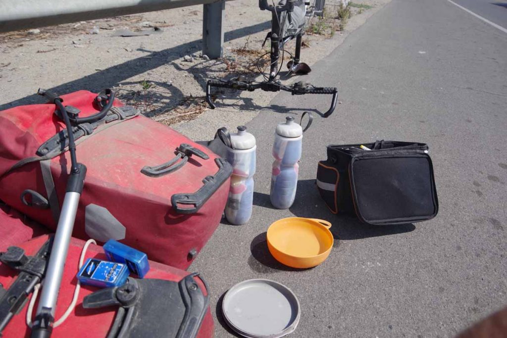
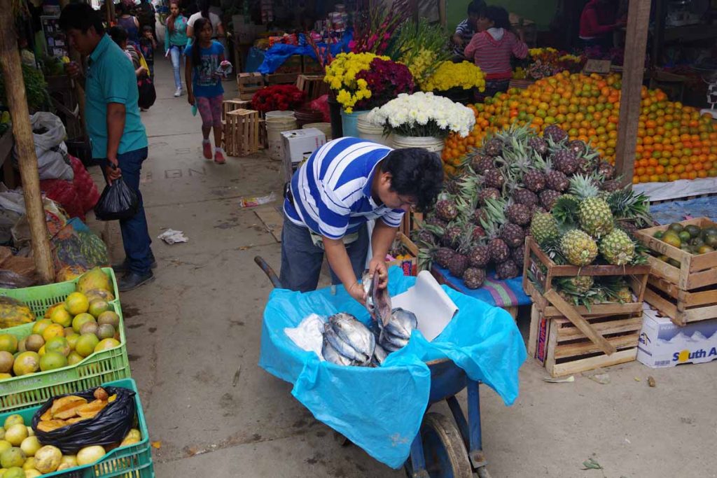
By now I’ve developed a food routine: lunch either along the way or late lunch in town I arrive. Dinner in town. For early breakfast and along they way, I get foods from the town. The bakeries often seem to have a set of fresh product in late afternoon, and local market is good place for fruit. I had some difficulty finding the market in Huarmey but after some asking found a nice set of mandarin oranges for morning and along the way. It would be a longer ride today, almost 100km and with more than 900m of climbing even though I mostly followed the coast.

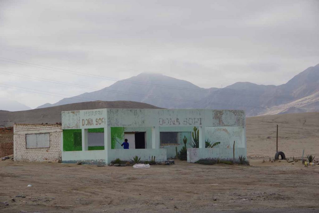
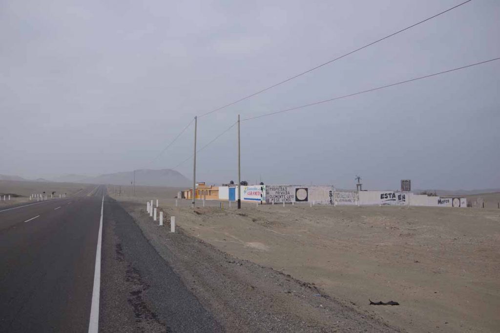
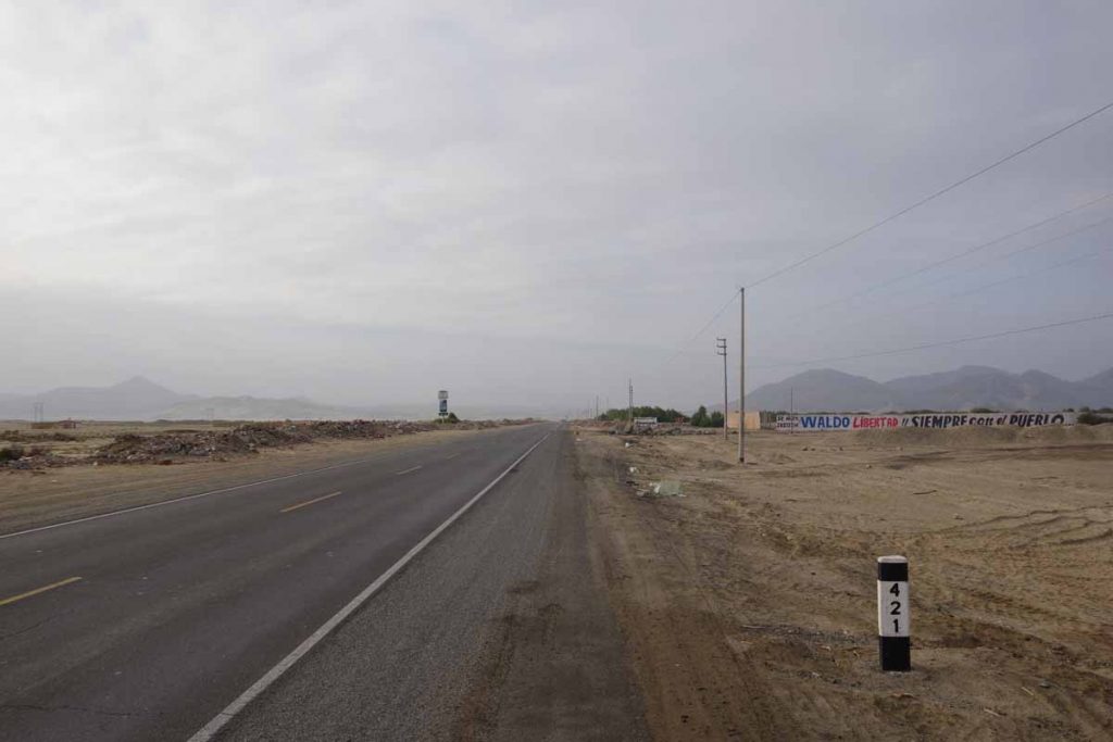
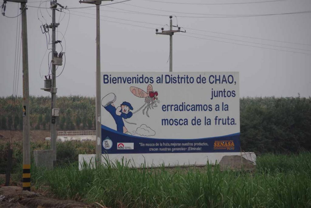
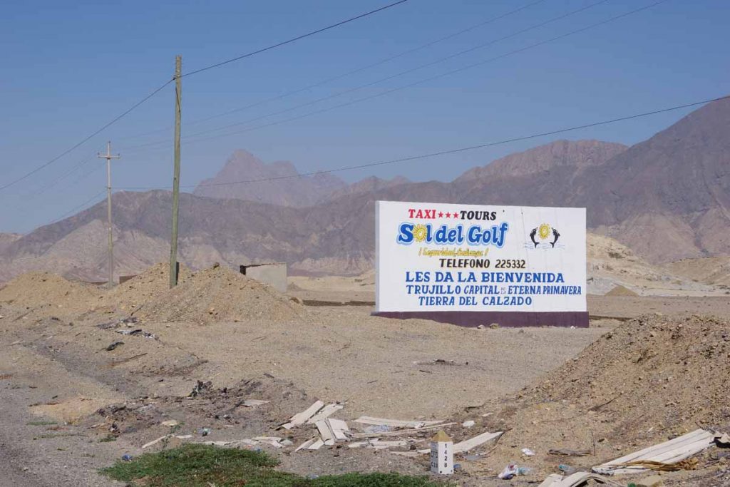
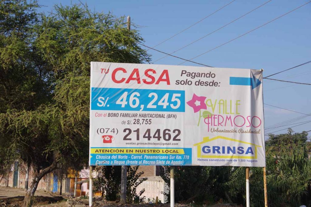
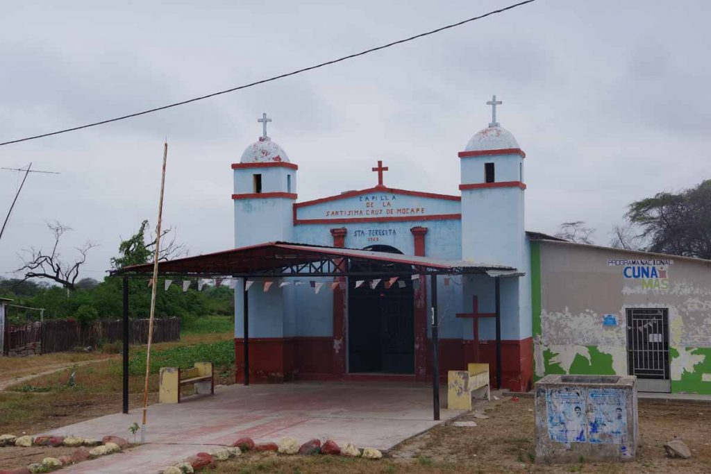
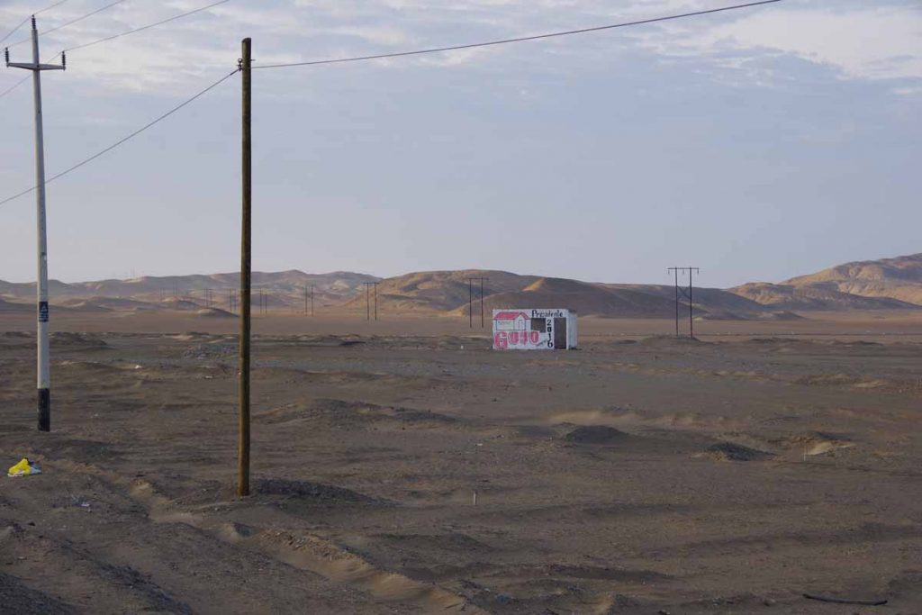
These middle of the desert buildings often seem to be painted with election messages. Mostly for the 2016 elections, but I’ve seen some 2018 as well.

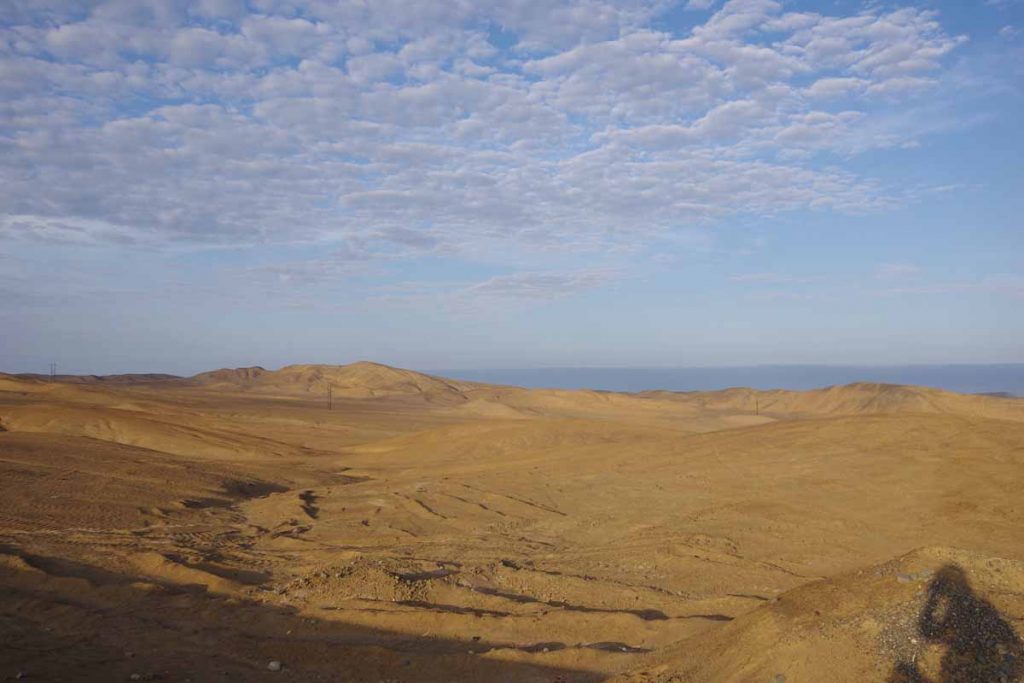
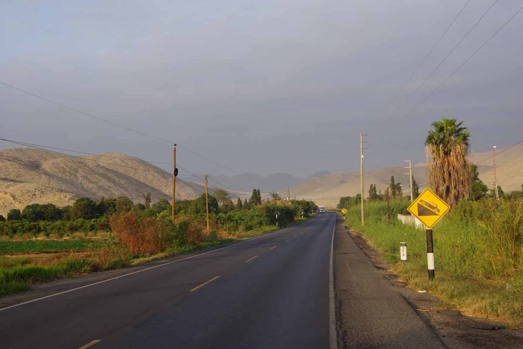
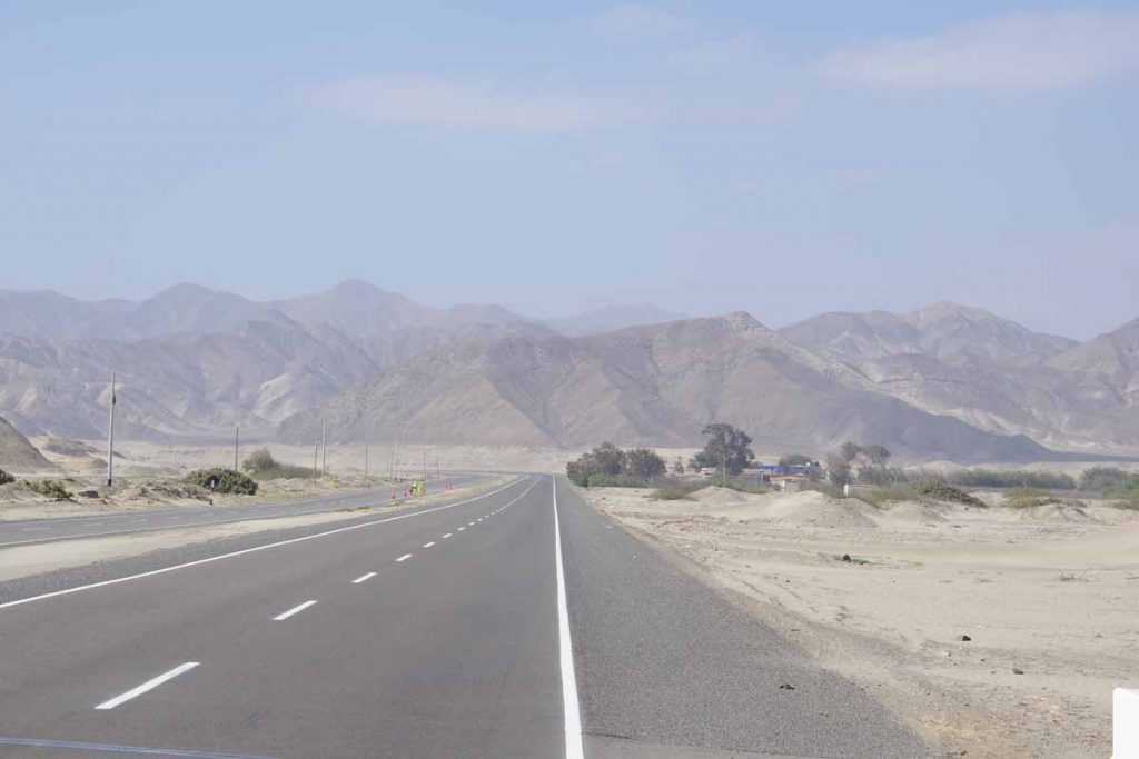
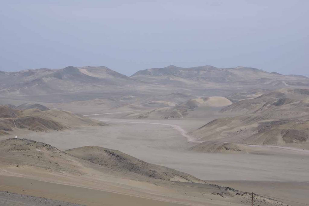
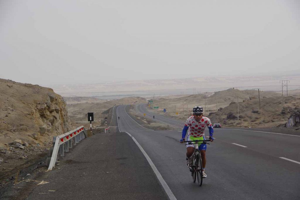
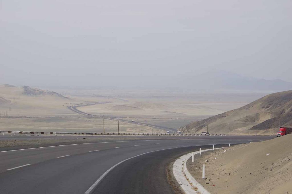
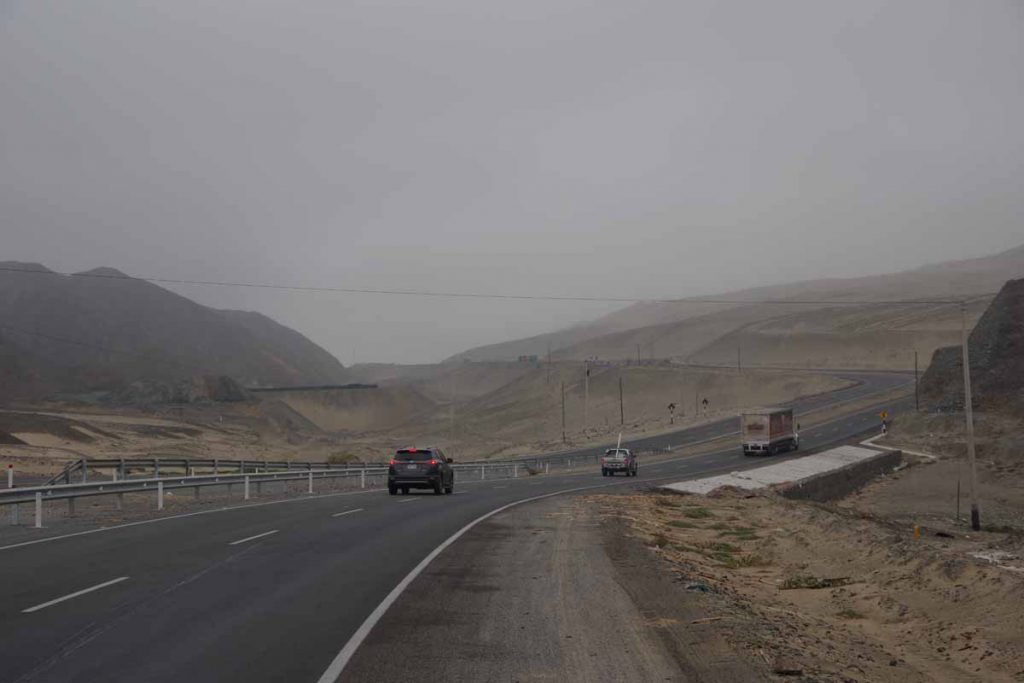
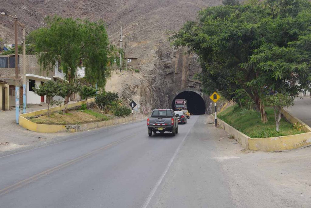
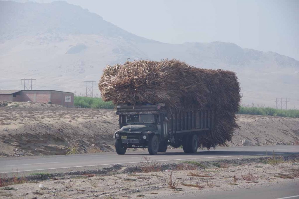
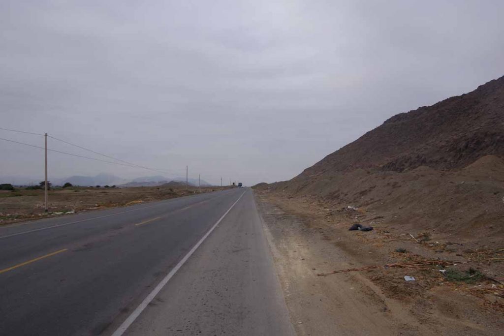
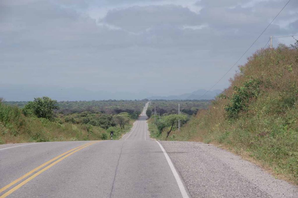
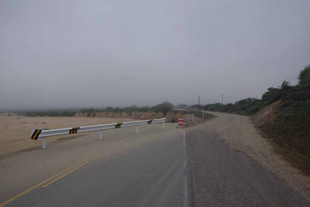
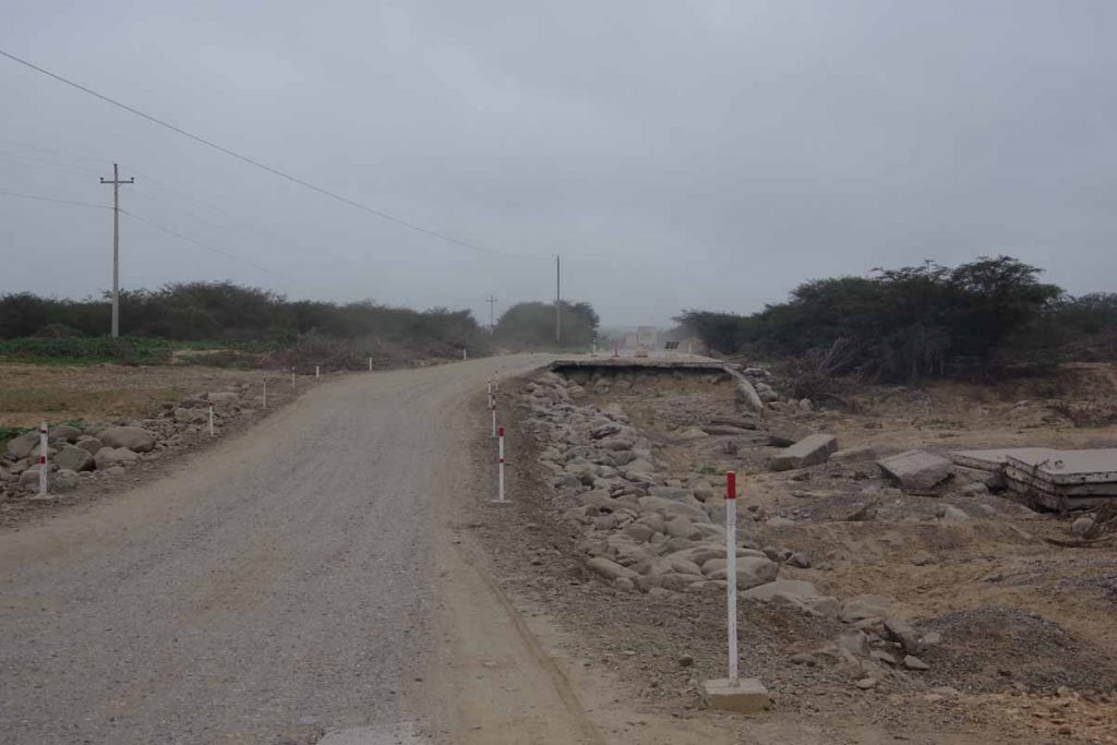
Today the route paralleled the coast with just a few spots for a longer climb inland. There was one climb to over 1000ft and a second almost there. Nothing extremely steep though.

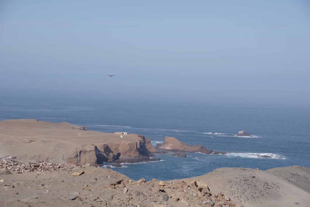
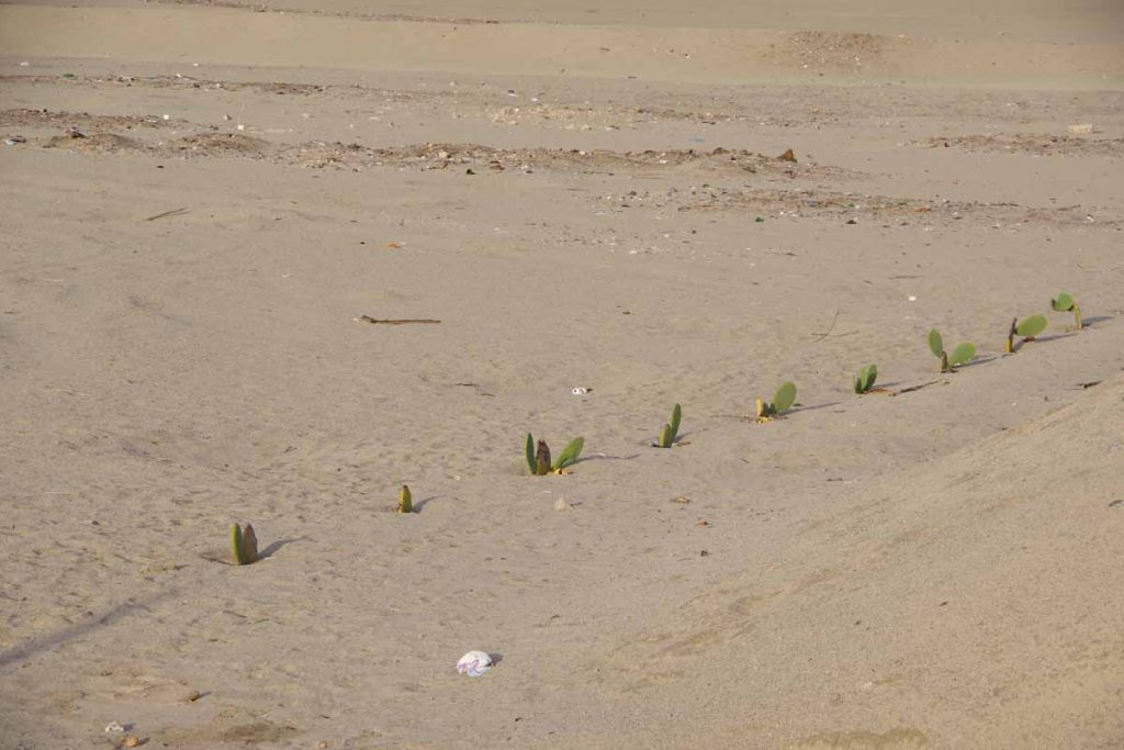
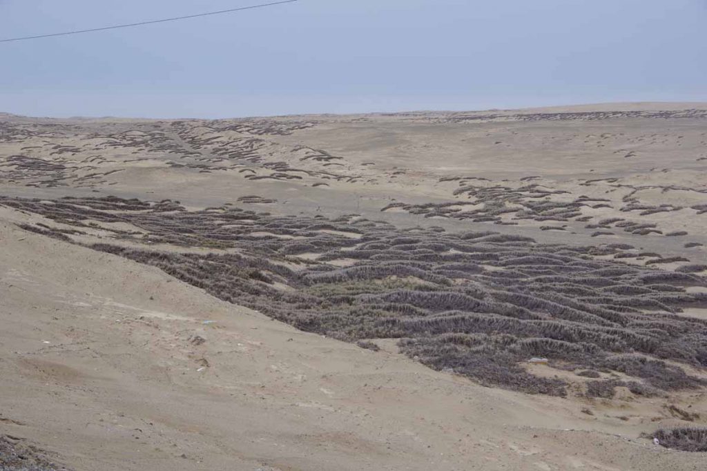
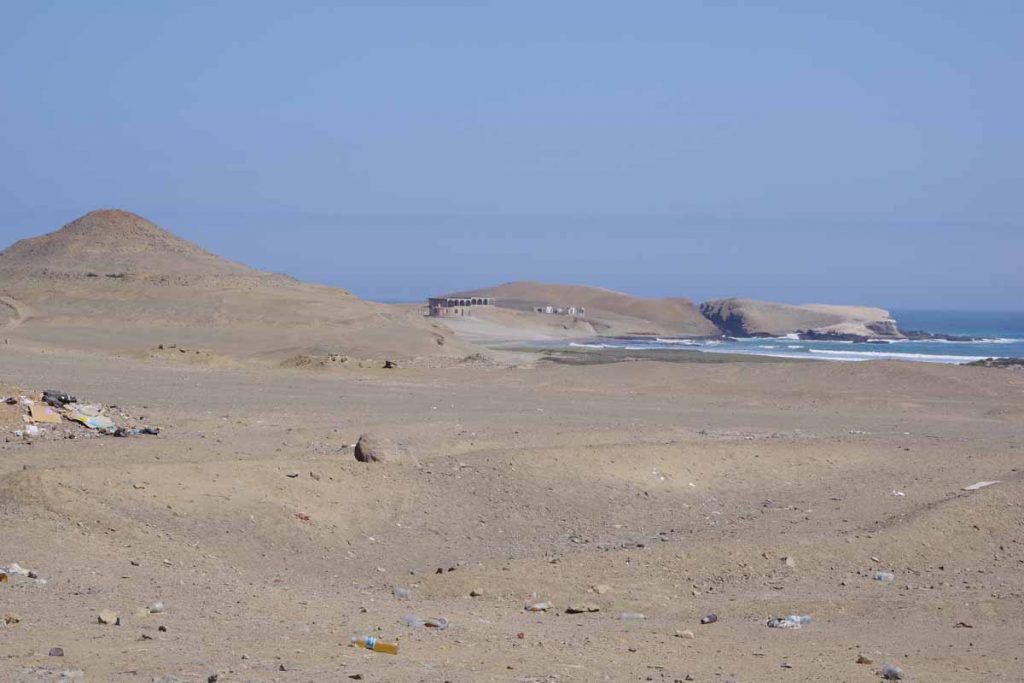
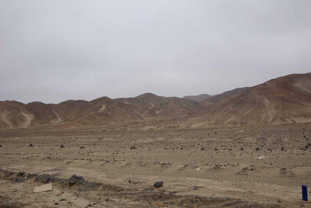
Nice coast with some rock outcroppings and what looked like empty sandy beaches.

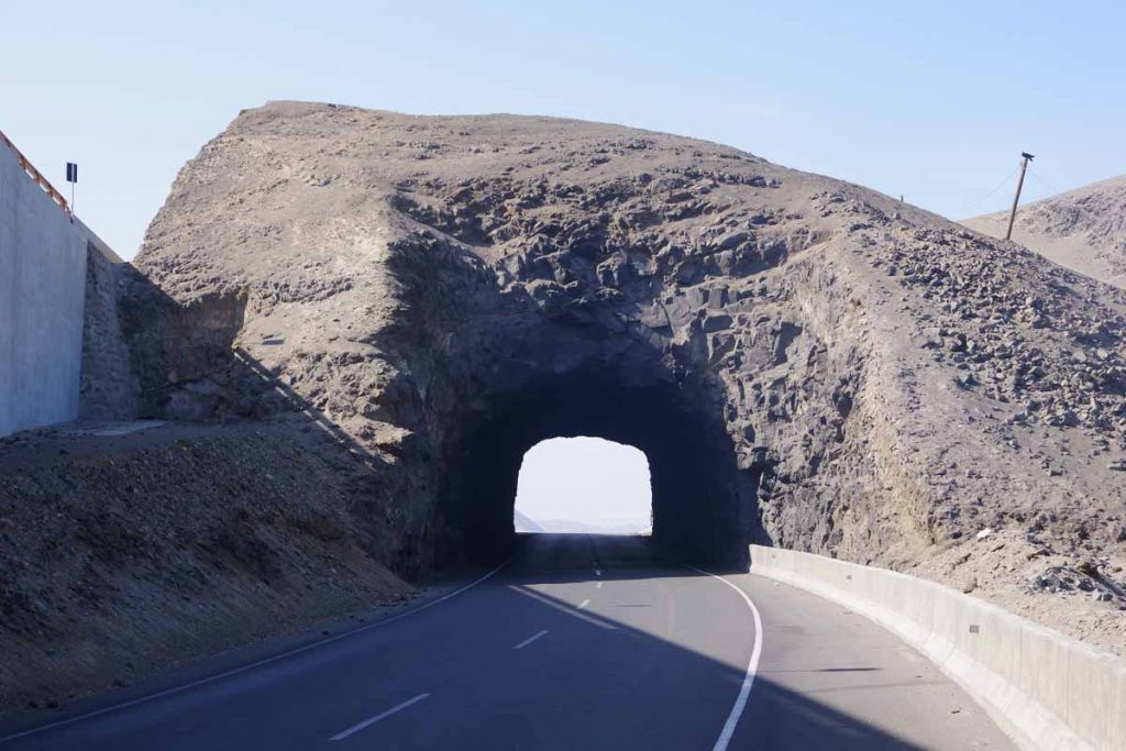
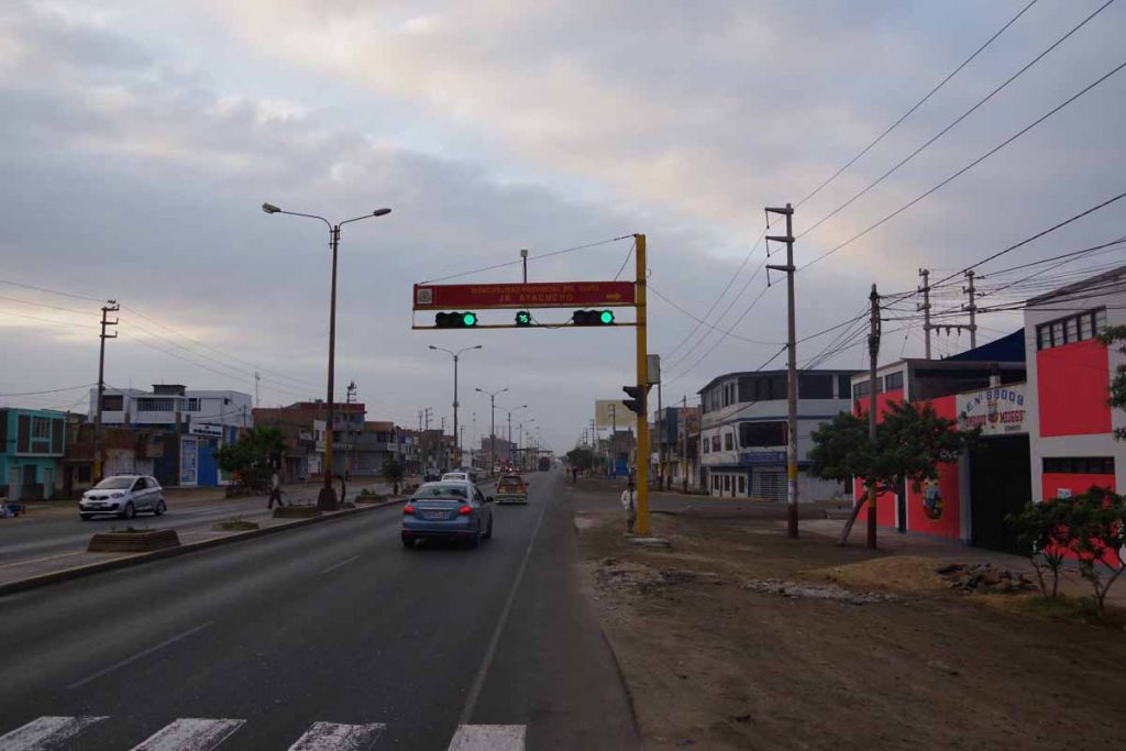
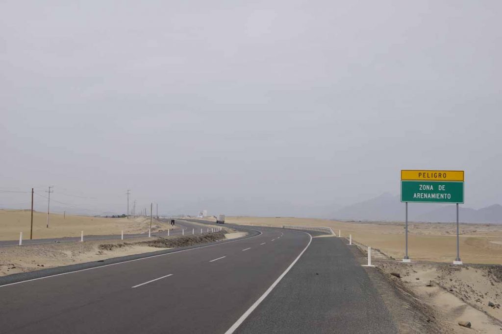
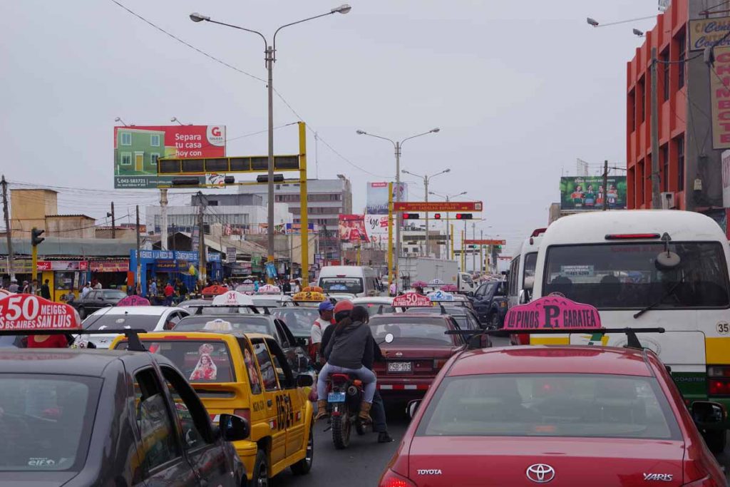
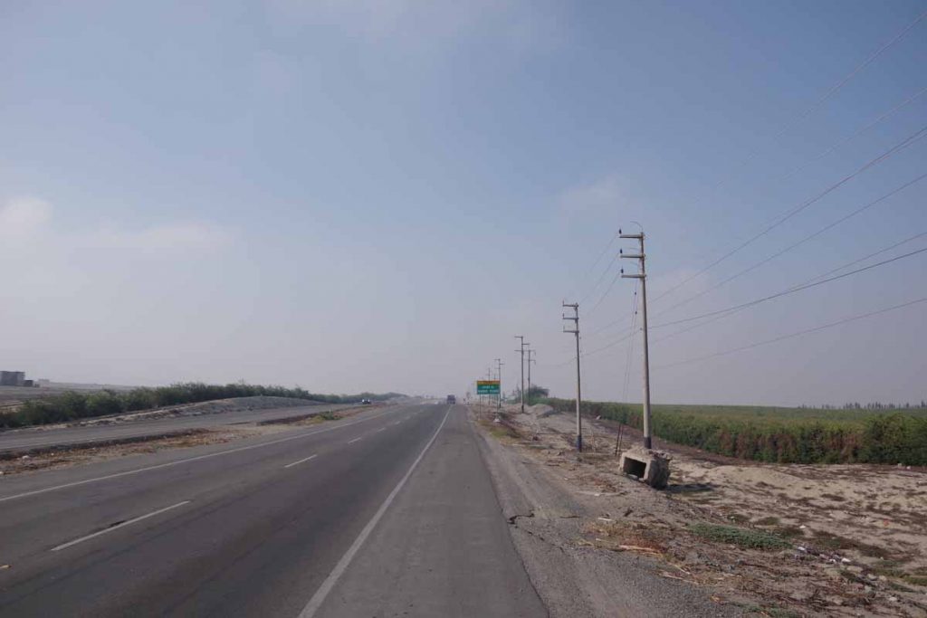
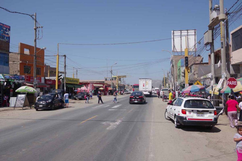
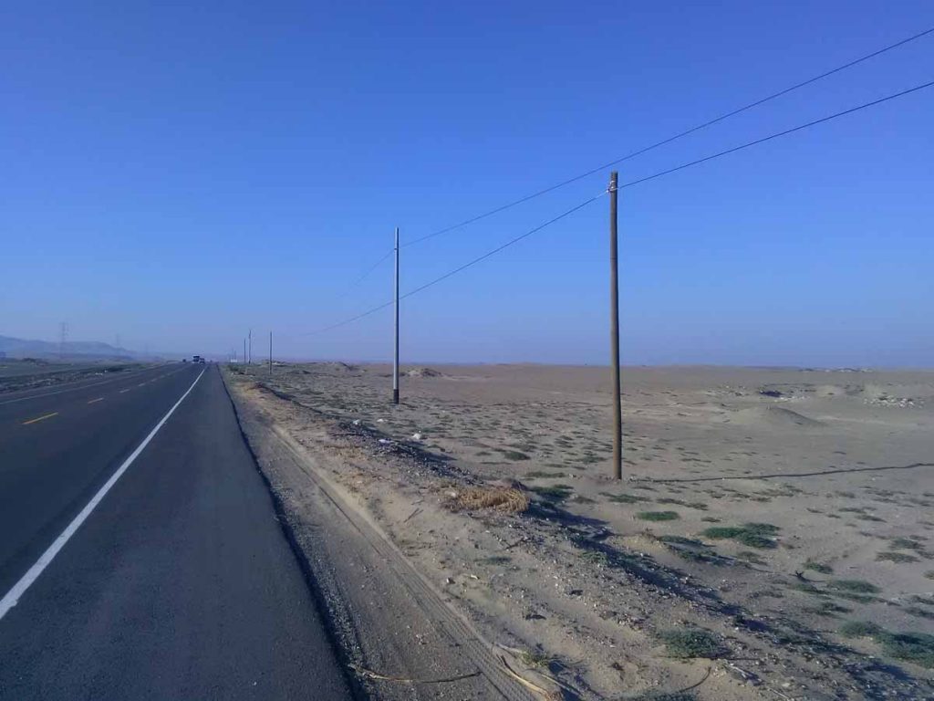
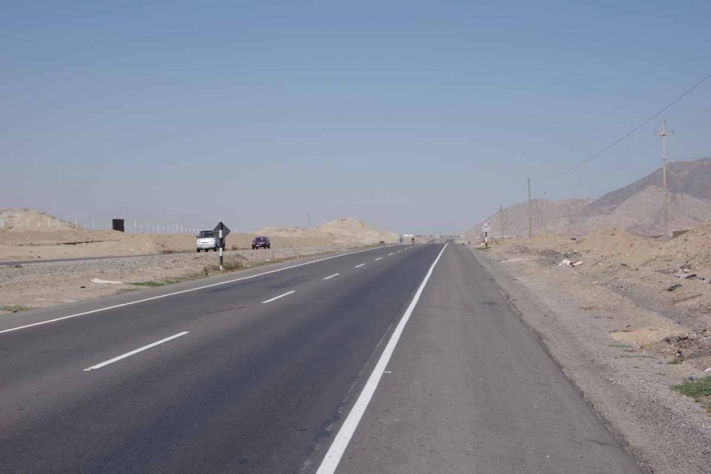
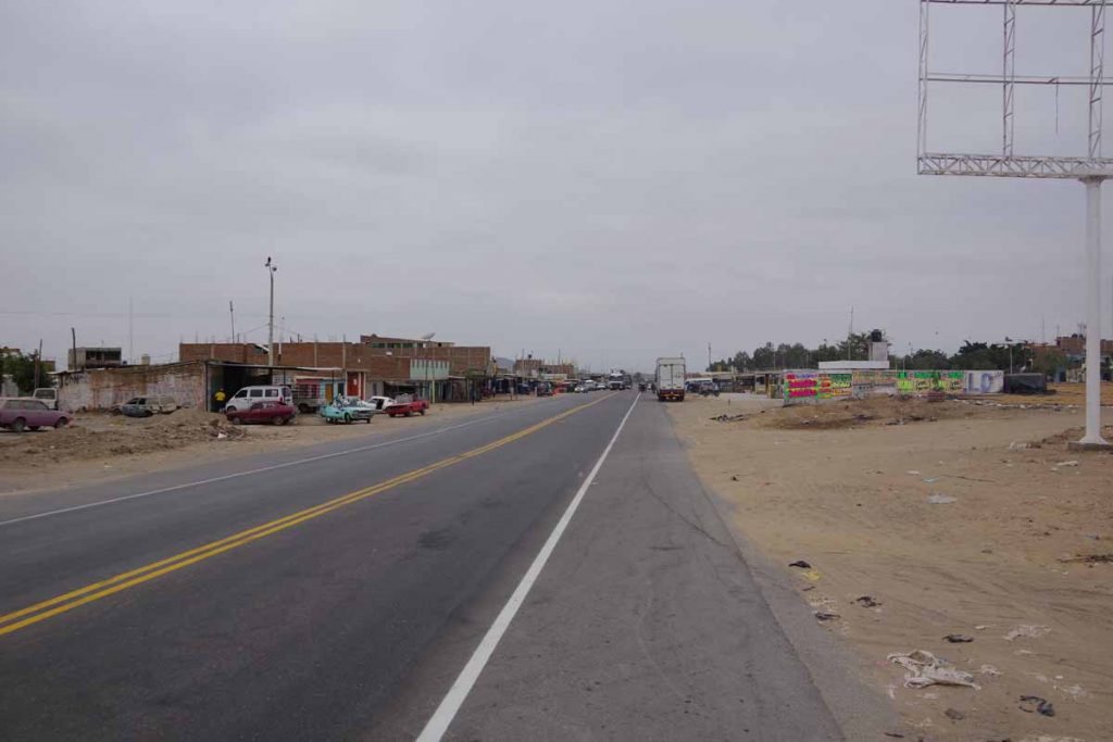
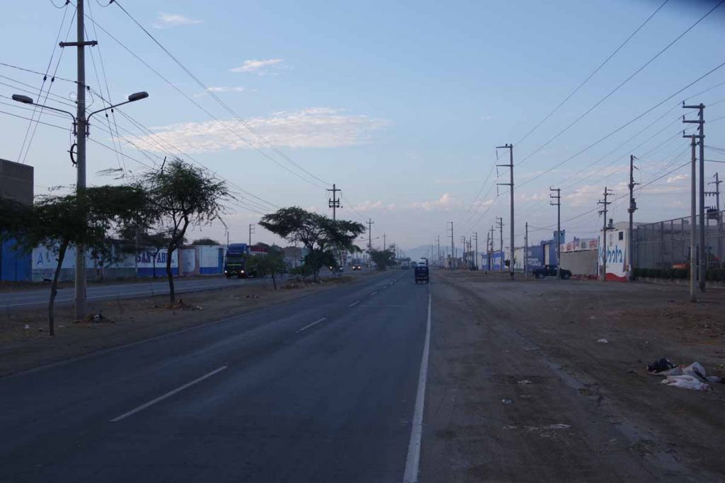
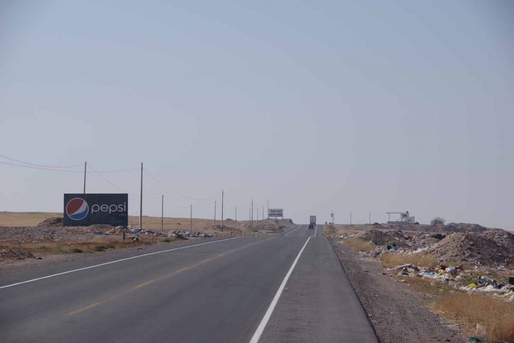
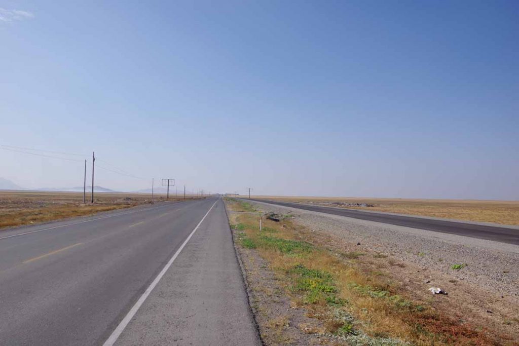
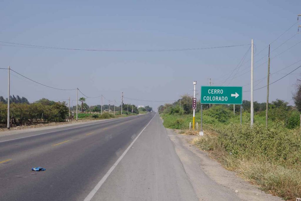
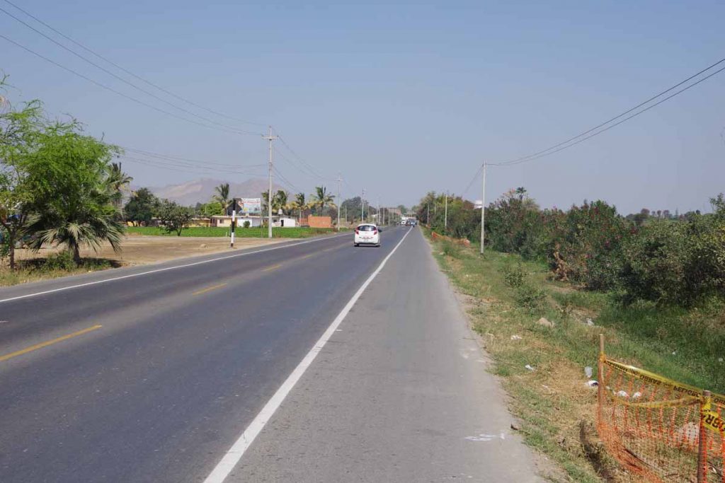
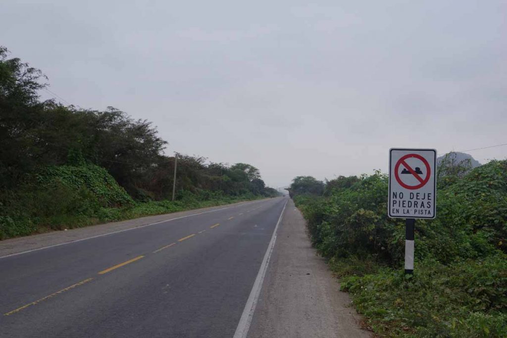
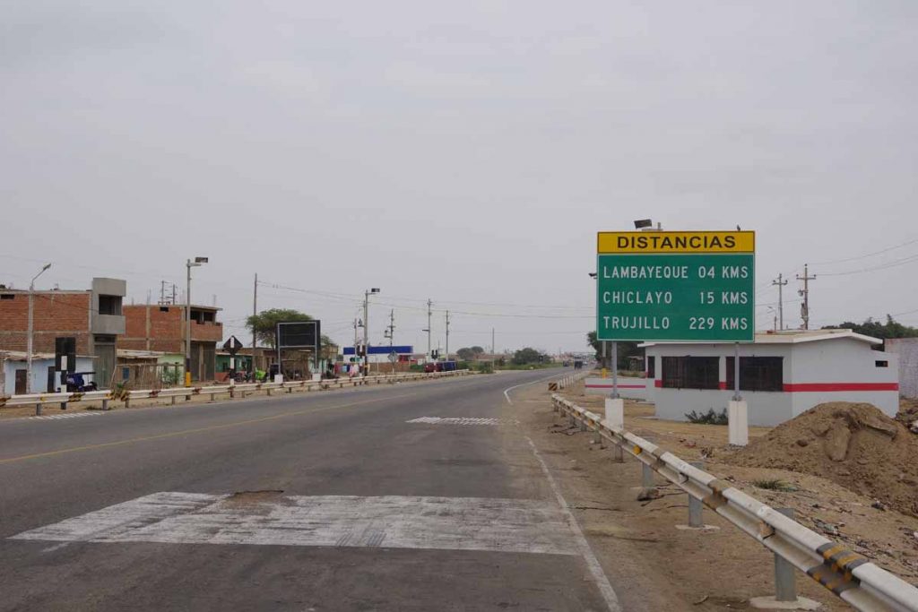
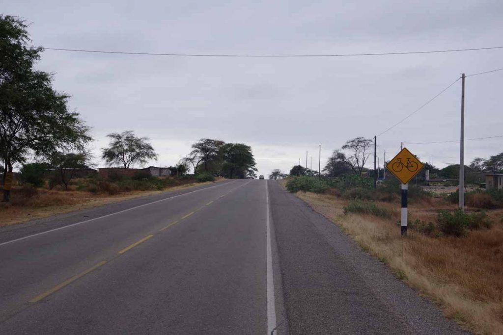
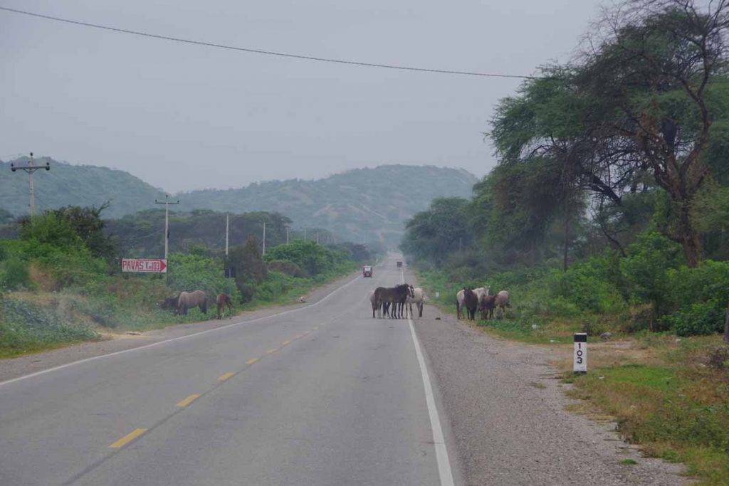
Outside the towns, the road is “autopista” and typically four lanes. The shoulder is often rougher so I’ll ride the white line and watch my mirror to see if I need to get over. However, traffic is very light so not often I need to move over.

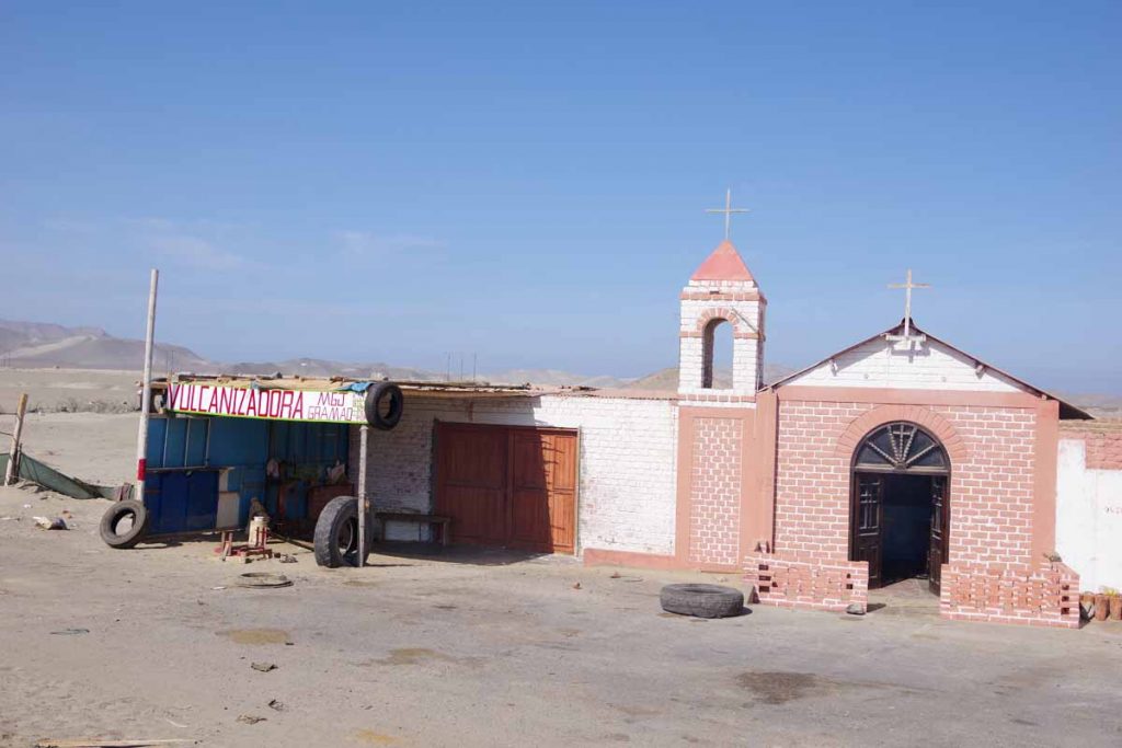
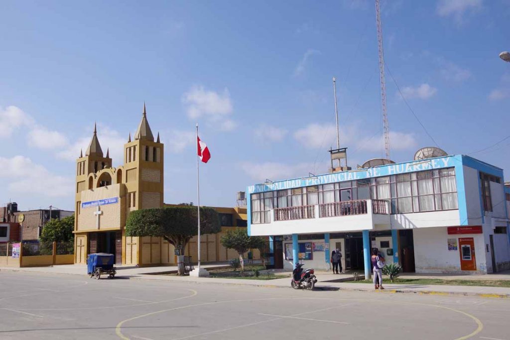
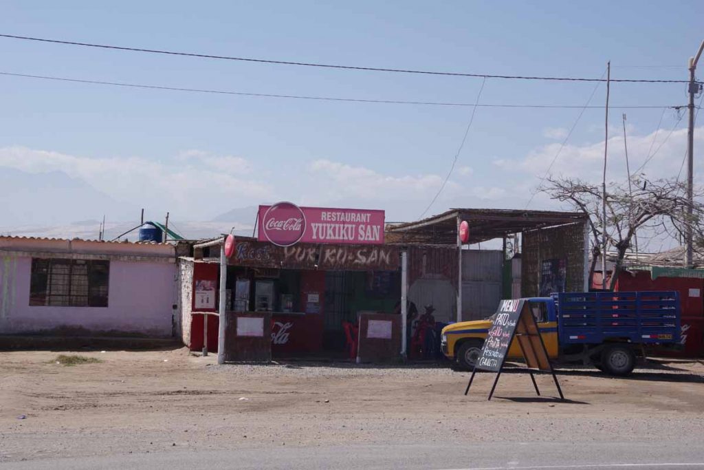
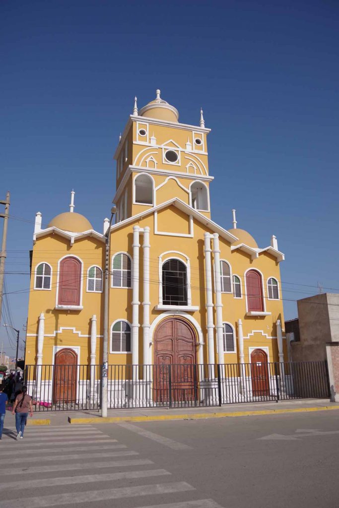
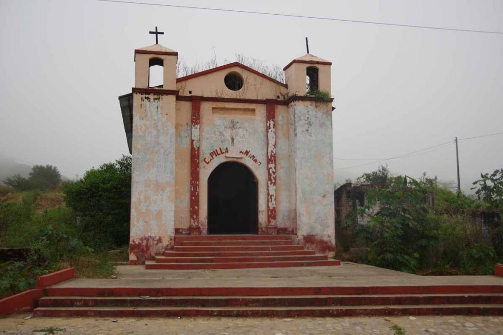
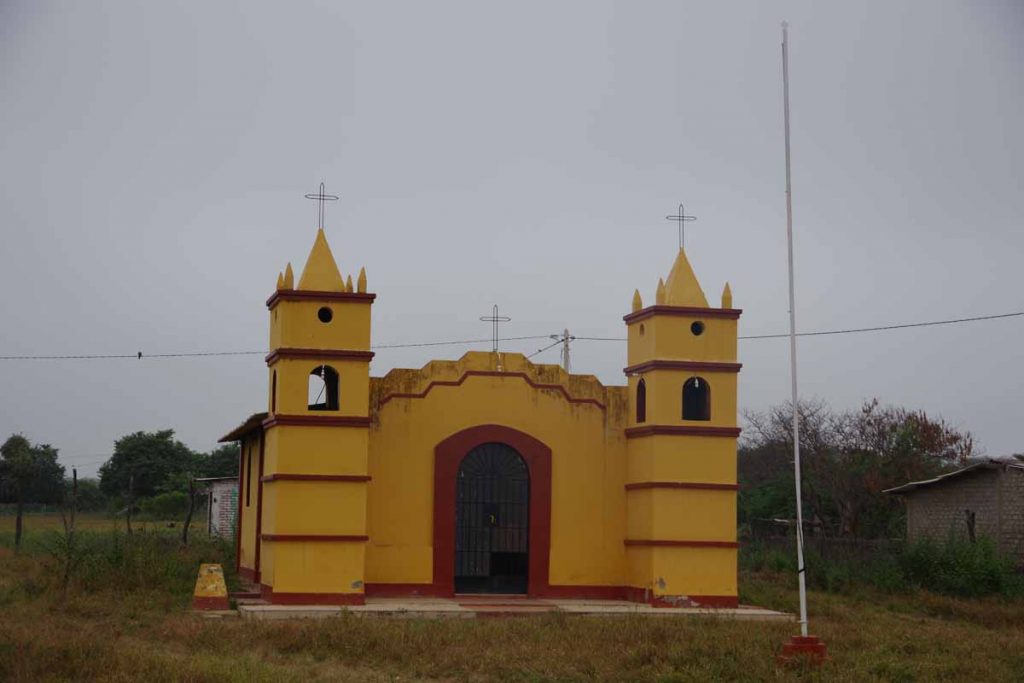
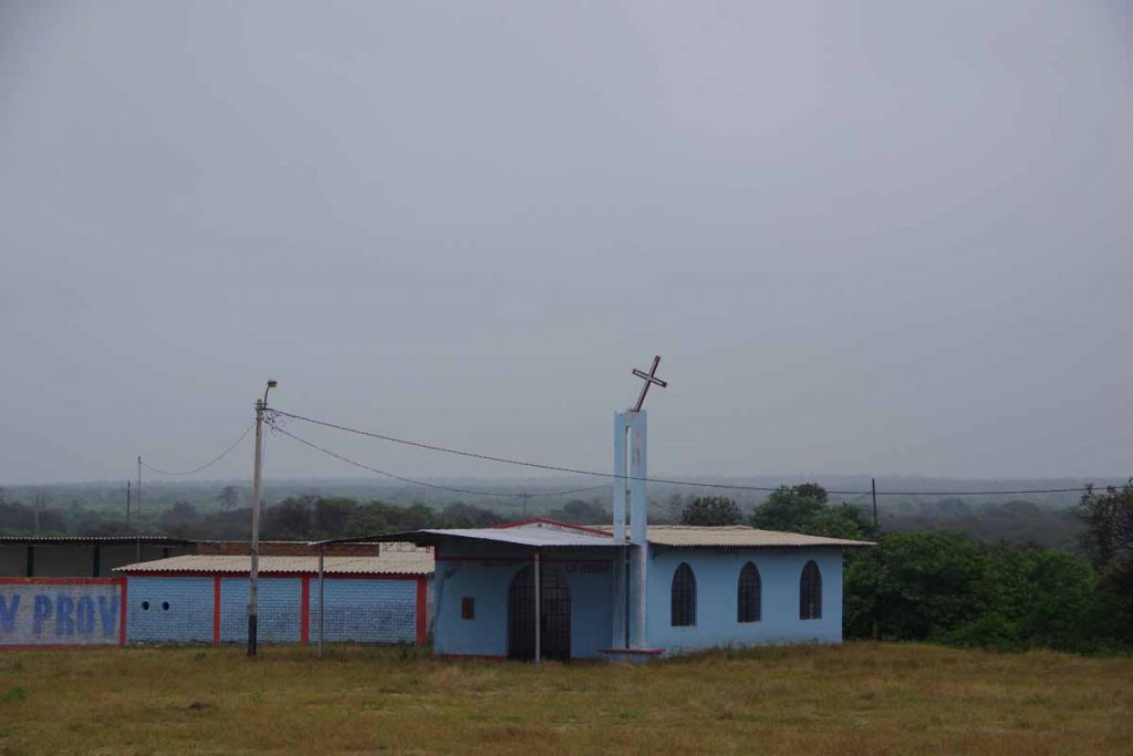
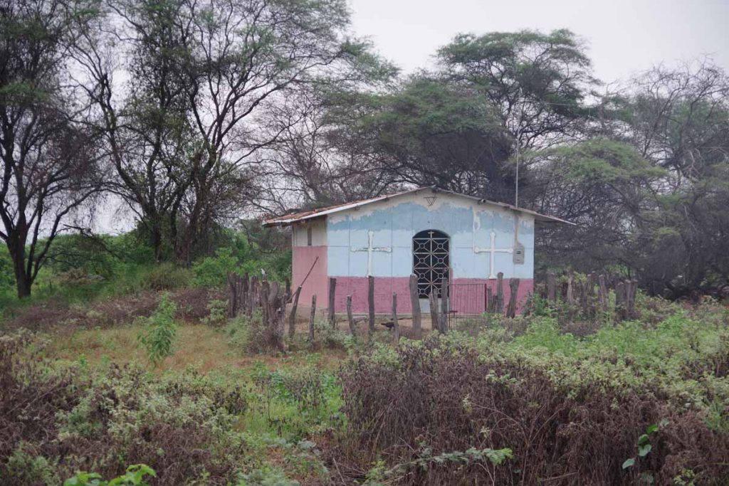
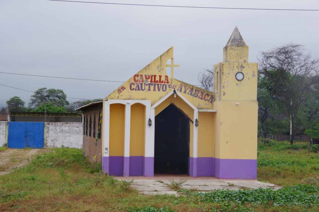
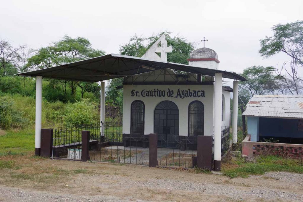
This establishment seemed to be a combination of church and tire shop.

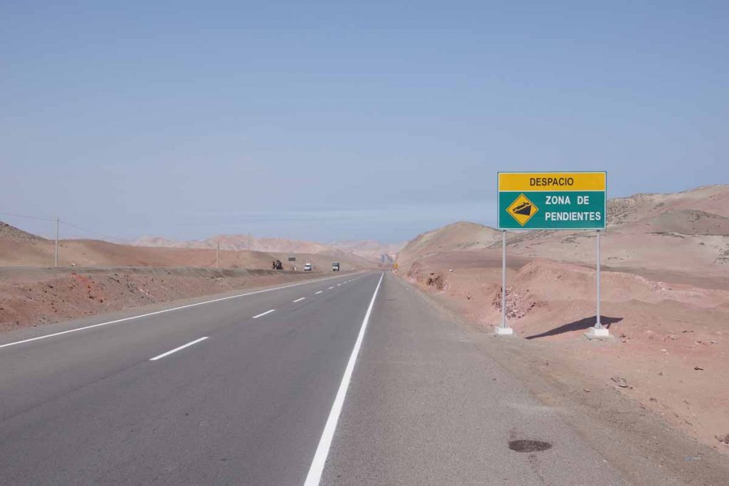
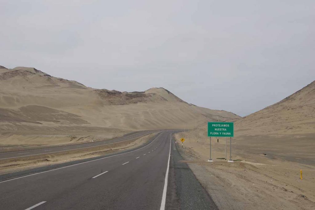
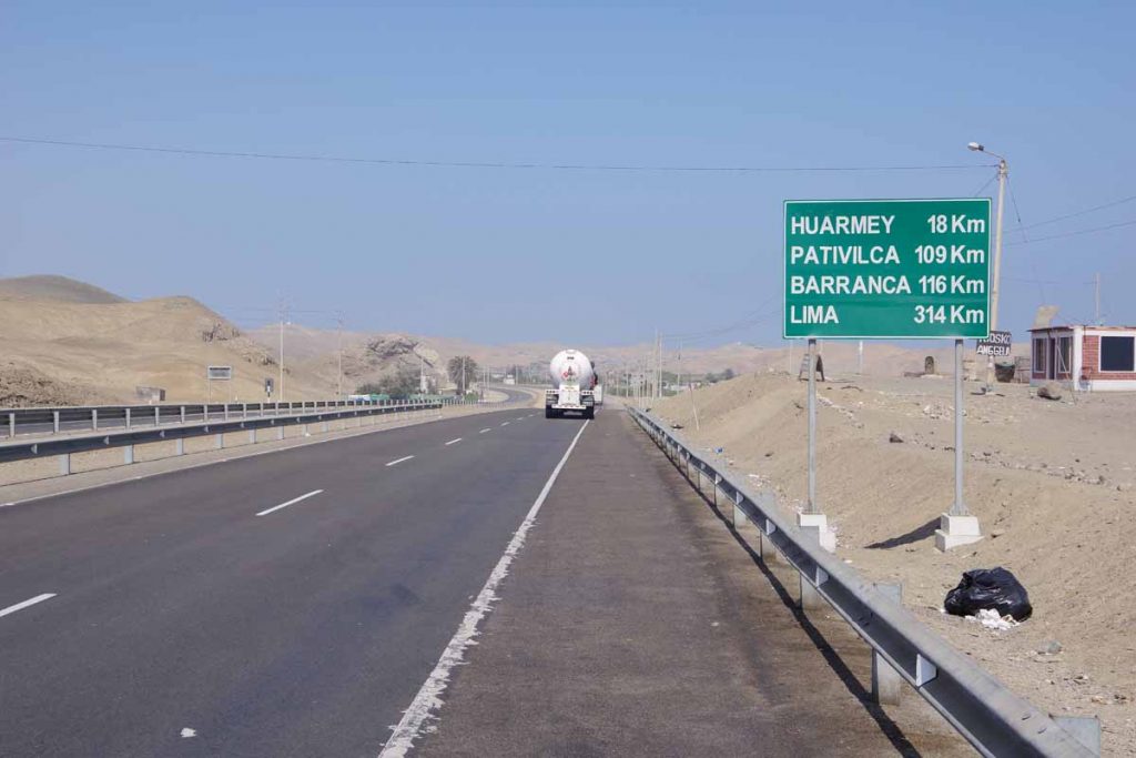
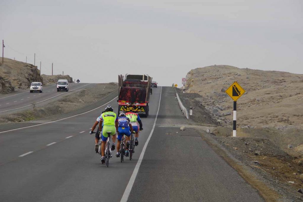
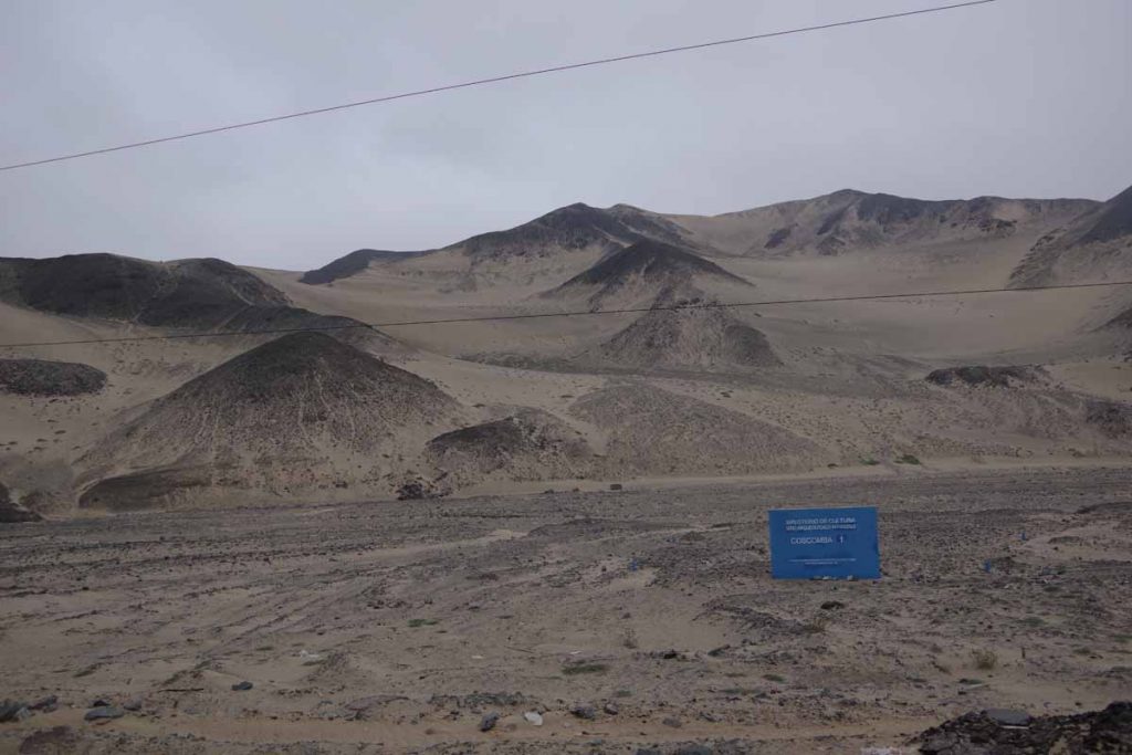
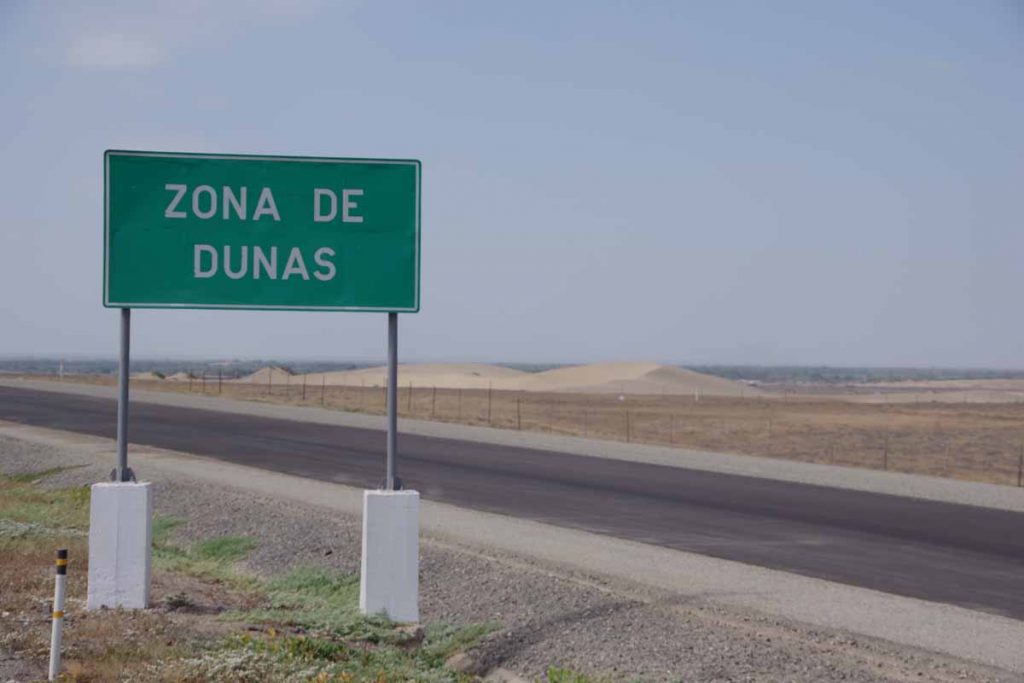
A new word to add to my Spanish vocabulary, pendientes = slopes, however I still wasn’t quite sure what it was warning me about since it wasn’t very steep.

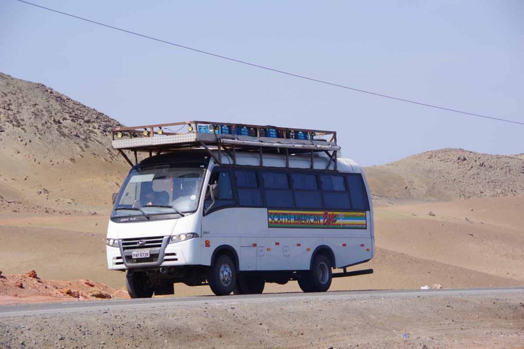
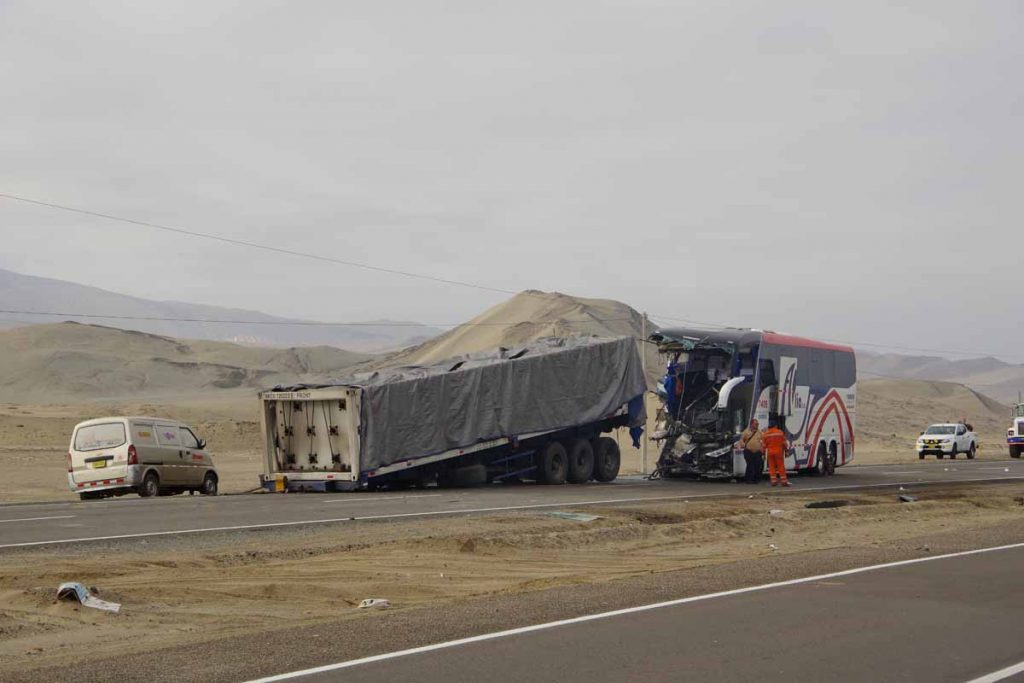
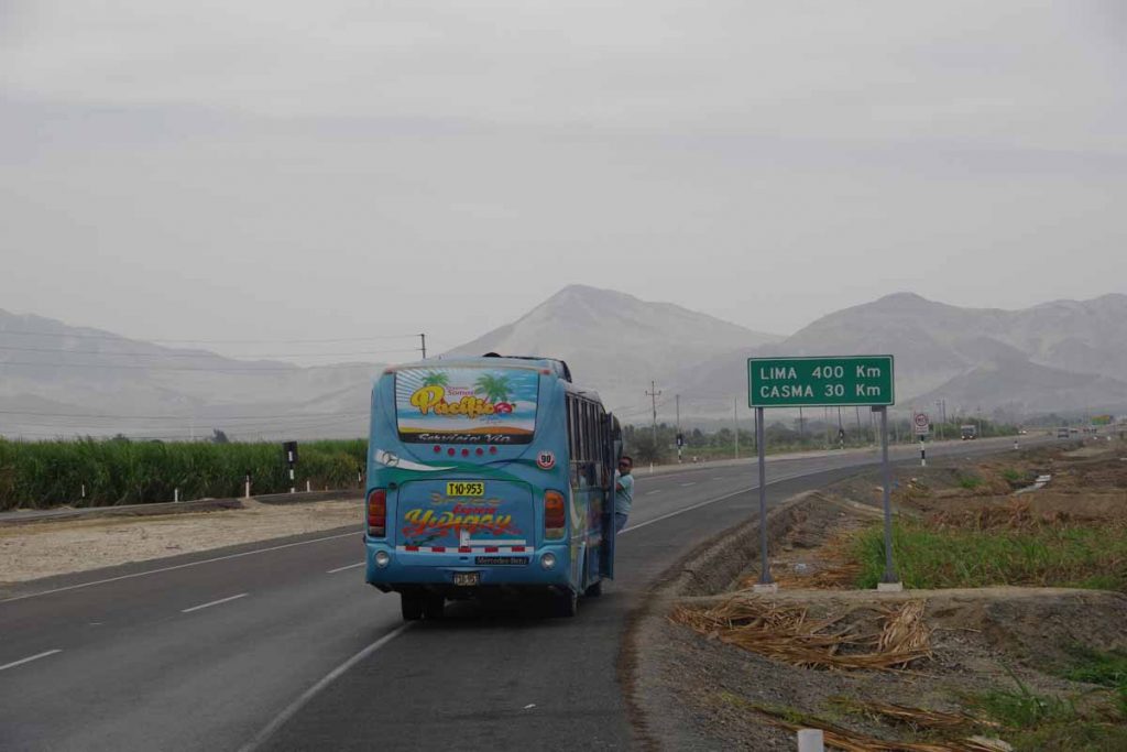
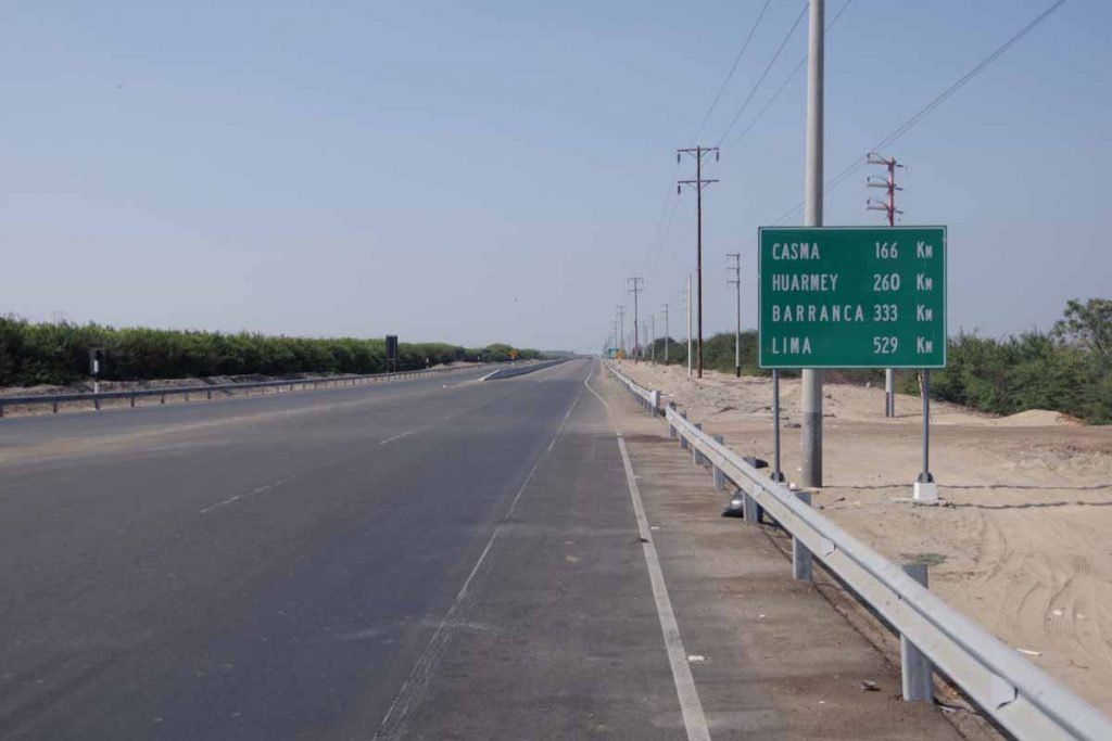
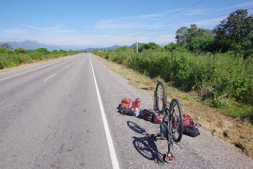
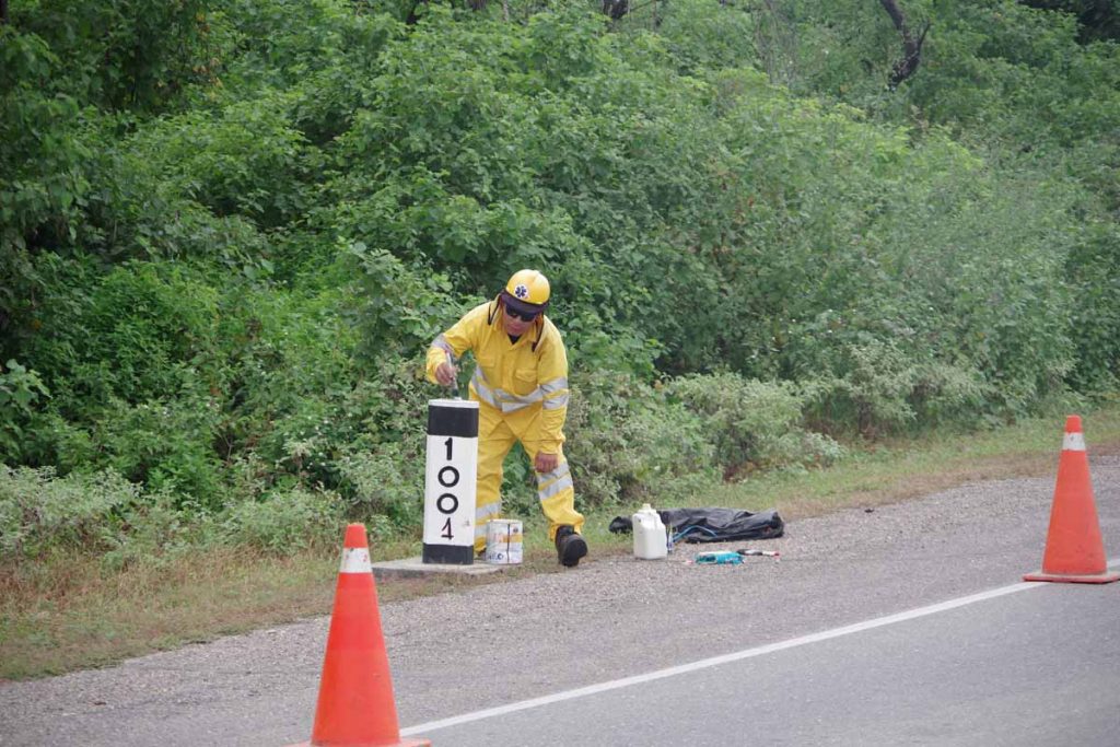
Not much past that last sign, I saw a bus stopped on left lanes. Thought it was interesting and zoomed in for a photo, when Yanez yelled out my name. Wow! This is a support vehicle for TDA and Yanez, Jacob and one other staff member (sorry forgot name) were on their way to Colombia to start that ride at start of July.

As you know, my plan is to join TDA trip a little over 6000km from here in Puerto Montt out in November. However, already got a chance to see the support vehicle and meet a few of the staff for this trip.

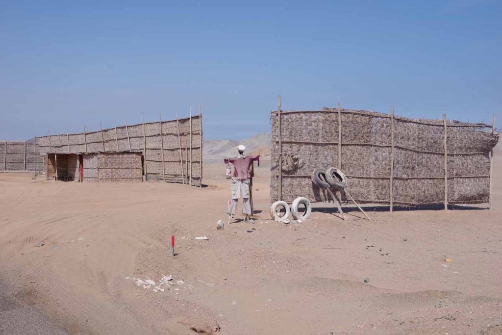
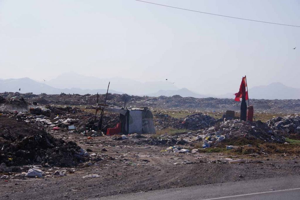
Some of these local establishments seem to have scarecrows. Not sure exactly what they are protecting or scaring though.

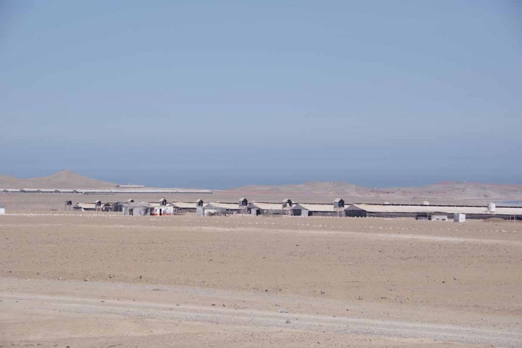
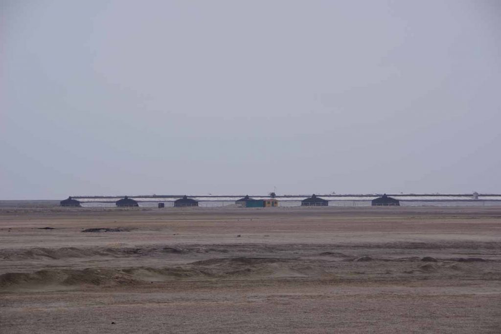
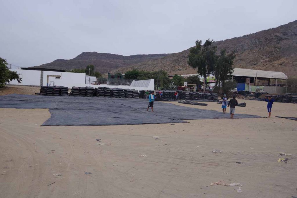
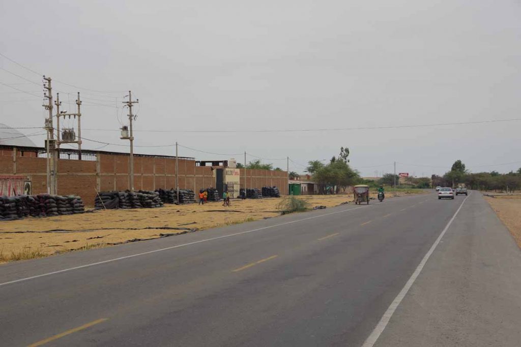
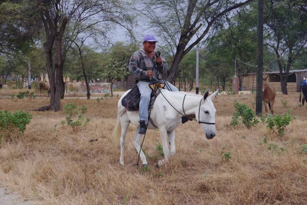
Several groups of these large tents along the way. As best I could tell from the signs, these are chicken farms.

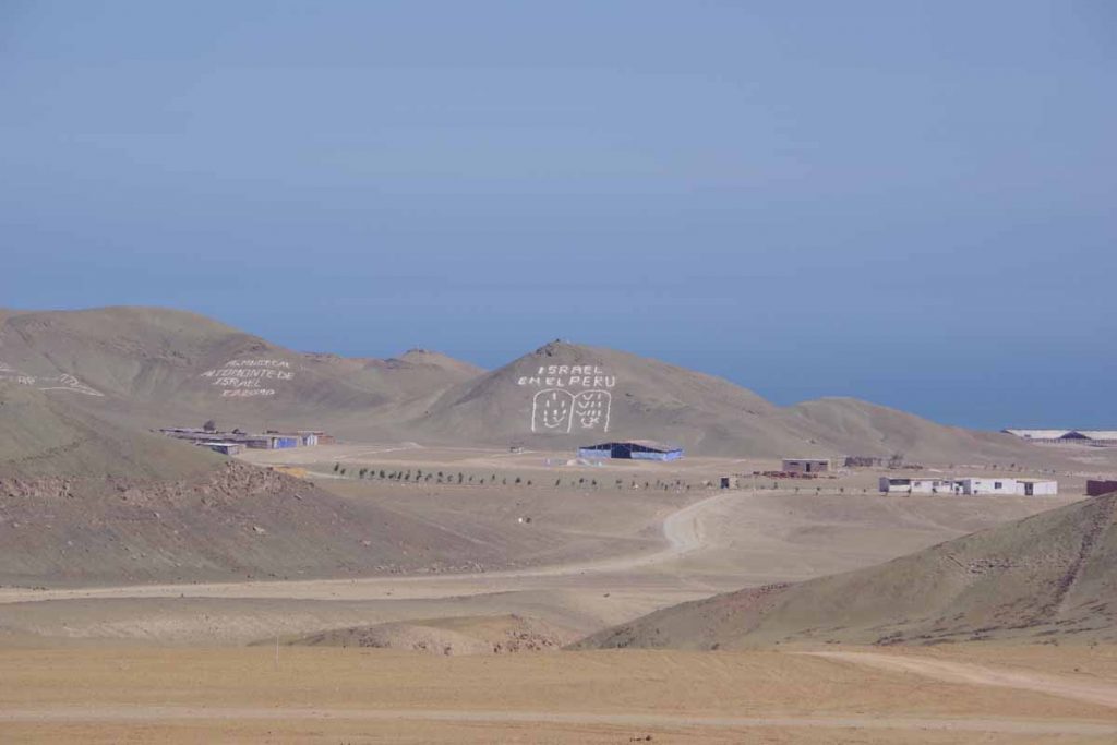
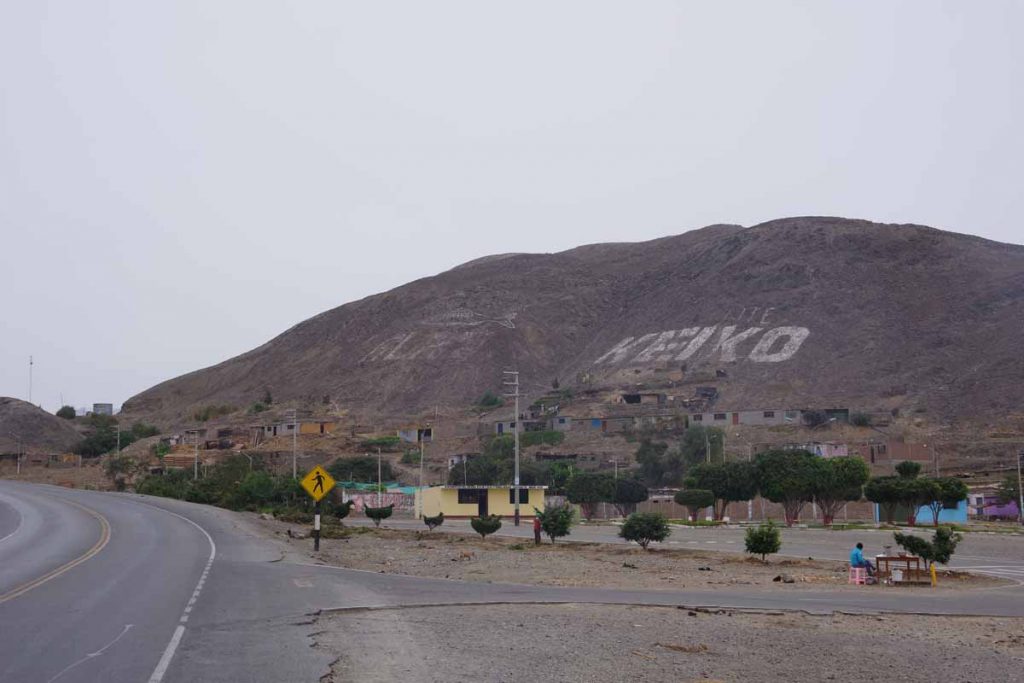
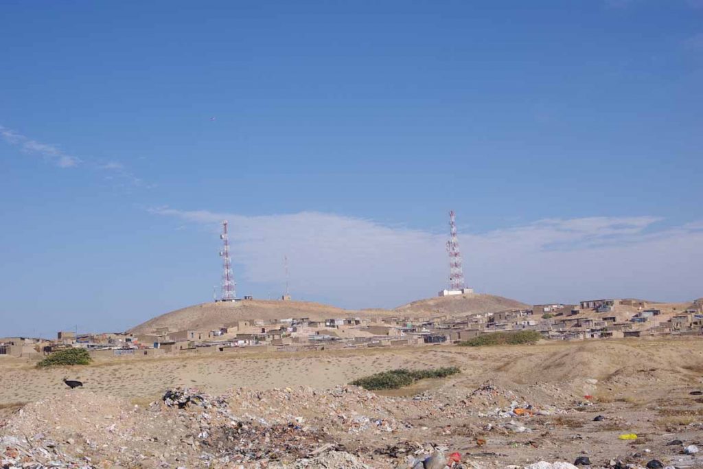
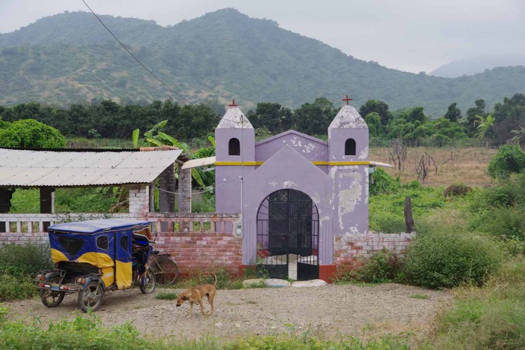
Another beach settlement. As best I can tell a drawing on hill of the 10 commandments.

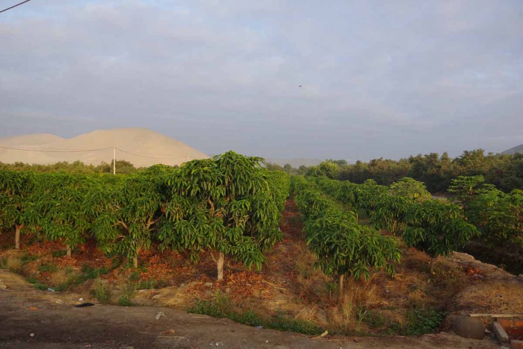
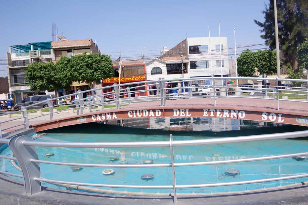
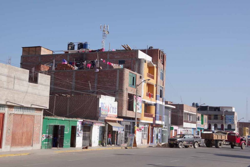
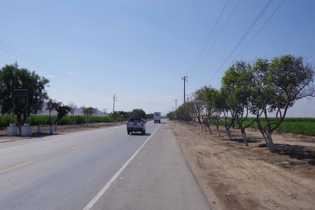
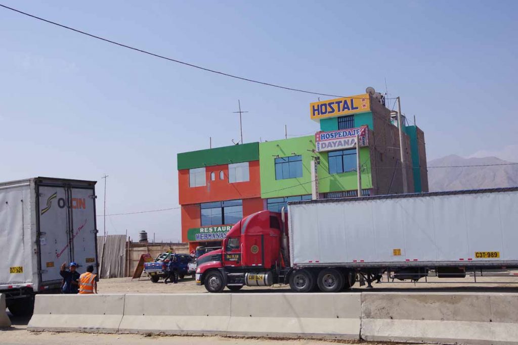
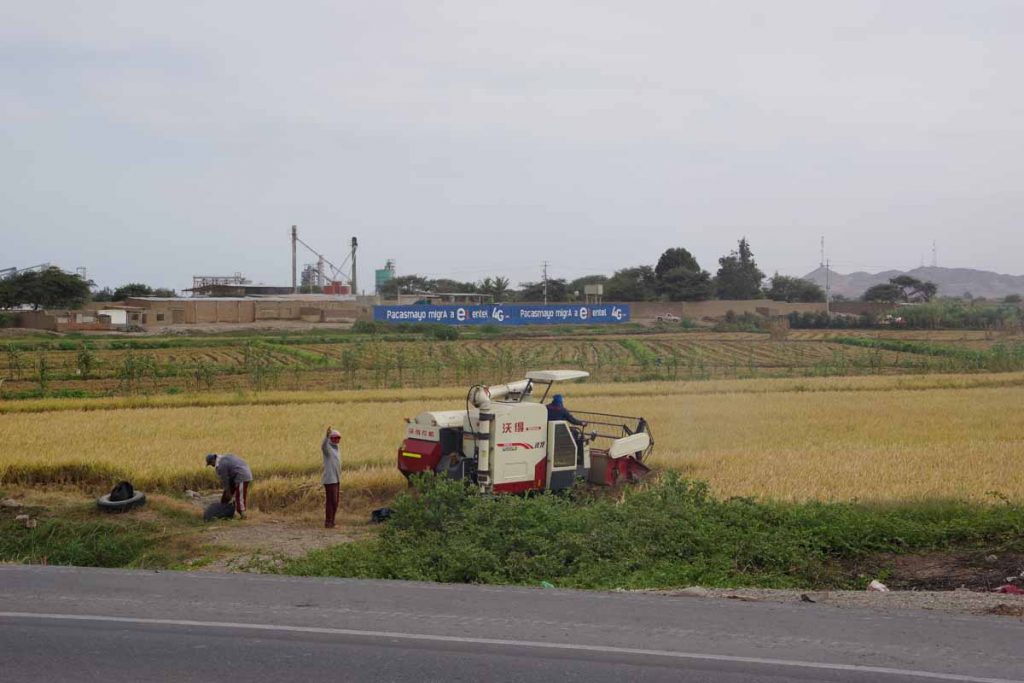
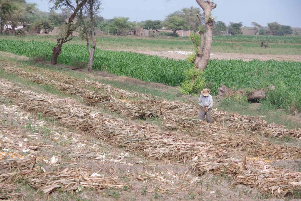
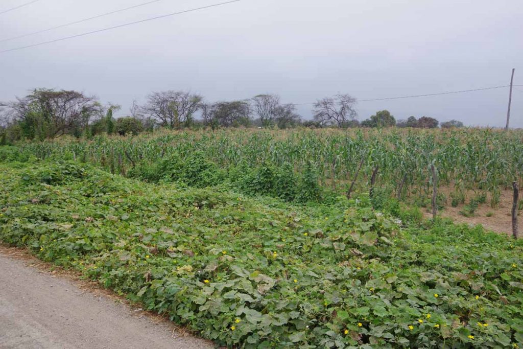
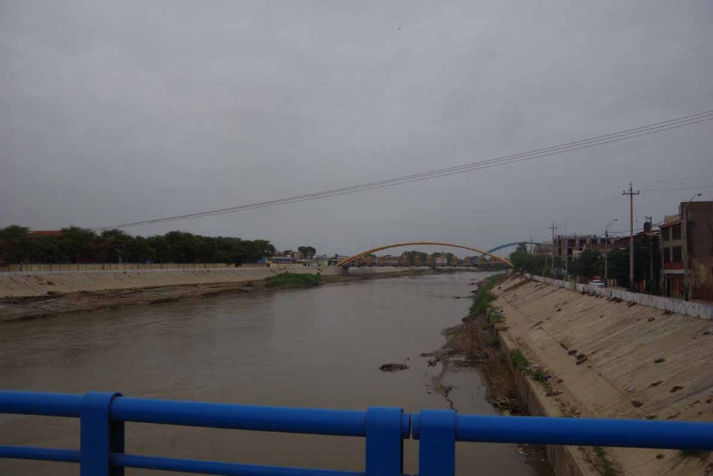
The last kilometers into Barranca were agricultural and a little greener. Also past an interesting looking archaeological site.

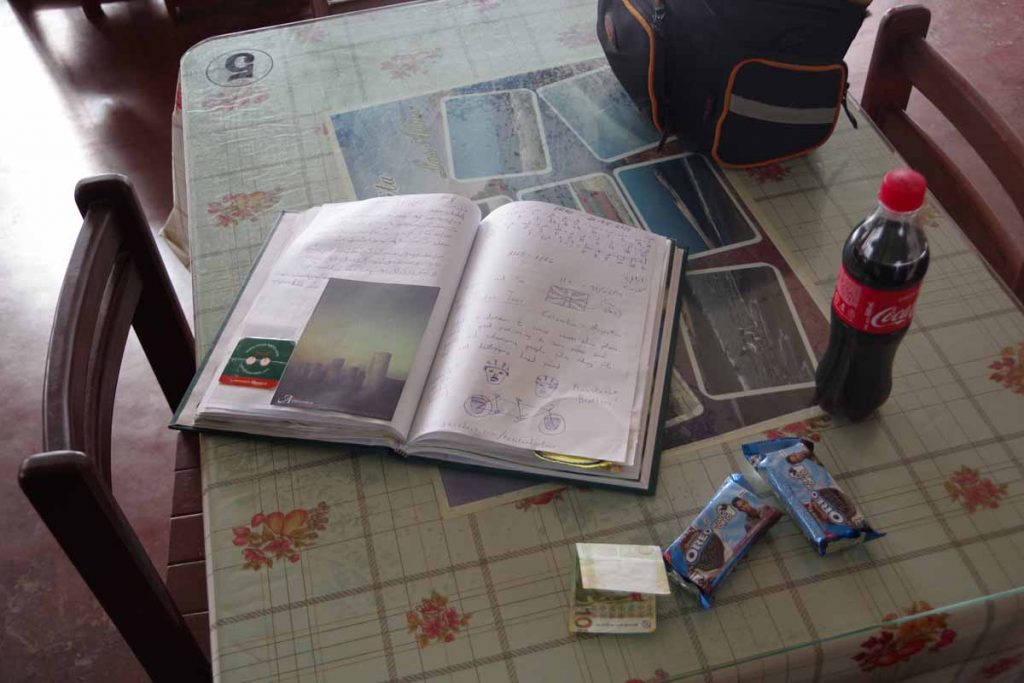
Today also marks a milestone of 365 days, one year, on the road. During that time I’ve traveled 18,551 kilometers and best guess is another 8,690 kilometers left to Ushuaia. Nice to hit this milestone.

Posted in Peru

Huarmey

A bicycle ride across the Americas Posted on 2017-06-19 by mev2017-06-19

A nice mostly desert ride including finding a middle-of-nowhere restaurant stop.

The irrigated areas around Casma lasted the first five kilometers. Not quite sure what these trees are but part of an orchard in the area.

After this the road headed up the hill and into desert areas where I’m not sure I saw a blade of green grass for another 70 kilometers. There were some longer more gradual climbs. Fortunately, not much wind until the last 25 kilometers.

Even growing cactus in this desert requires extra water.

A few of these simple residences along the way.

This guy was busy painting the inside shell of a restaurant, pretty much in middle of nowhere.

Looked like a pretty bad accident not extremely long ago. The cab for the truck was a little ways ahead. Accident victims were gone, but vehicles were still in the roadway and police were in the area.

I saw this sign and wondered, “what flora?” since it was barren again.

However, I did see some areas where these brown plants below are flora, so it wasn’t completely barren.

At 30 kilometers I came on this oasis restaurant known as “La Gramita”. There was friendly woman here who perked up when she saw my bicycle.

She brought out the journal book filled with short tributes from other cyclists and long distance travelers who had stopped by. On this page was one from someone from Iran. On other pages were French and other travelers. I added my short notation as well.

Also on the table was a coke and some oreos that I ordered as a snack. It was too early for more of a meal and I also wanted not to stay too long since I expected winds later. She would not take my money, but that 10 sole note (~$3) was my payment. Eventually I did leave behind a payment.

One wall was filled with framed pictures and accounts of other travelers who had stopped in here.

I was particularly enamored by this section from Karl Bushby from his walking north up South America.

Overall it was a great little place with very friendly folks. It would have been nice to have stayed a bit longer, though I was definitely trying to keep making progress today.

After this another thirty kilometers so slowly winding my way between and then over some of the lower coastal hills. Eventually the last twenty kilometers came more along the coast.

A distance sign from nearby toll booth.

The coast was now visible on the right. Unfortunately this also coincided with more winds.

One of the last little hills and then down into Huarmey.

Town square with church and municipal building. Had a late lunch and then wandered around some looking for grocery items to prepare for tomorrow. Overall, a nice ride through dry desert areas and particularly intrigued to come across La Gramita.

One milestone is I passed just south of the 10 degree of latitude line. In southern hemisphere it is almost winter and days are now eleven and a half hours long.

Posted in Peru

Casma

A bicycle ride across the Americas Posted on 2017-06-18 by mev2017-06-18


Above is a photo from today. Notice anything missing, for example any plants?

This area is extremely dry. Annual precipitation in Chimbote is 11.9 millimeters or less than half an inch.

This page describing Chimbote does have helpful warning, “May is the wettest month. This month should be avoided if you don’t like too much rain.” Wikipedia has a different month as wettest month, but still only 3.7mm or 1/7th of an inch of rain for an entire month, so not sure the warning makes much sense.

The first eight kilometers looked a bit like this as I passed some sprawled out parts of town. It was early Sunday morning so not much traffic on the road.

After leaving the city as well as irrigated areas, it was quickly desert areas again.

It was Sunday morning and these cyclists came past. I had several others and eventually an entire group coming back. Despite the sign, it wasn’t quite that steep, though there were a few hills to climb over that topped out at 6-7% grades.

One of the cyclists coming past me and looking back down the hill towards Chimbote.

Some nice views as I came down along the other side of the hill.

Slowly getting a bit closer to Lima. Not sure who these bus passengers are, but the buses seem to stop in these very out of the way little places.

I had to get out my dictionary for this one, but best I can figure it was warning about blowing sand areas.

Not a very long ride brought me to town of Casma. As shown in town park, bills itself as city of eternal sun. Appropriately the clouds lifted after I was in town and we had some sun.

You know the chickens are fresh when they are in cages next to the market.

Chickens for sale.

Overall a nice relaxing rest day yesterday and not real tough ride today. From here expect a few slightly longer days as I continue to inch along the coastal desert in Peru.

Posted in Peru

Chimbote

A bicycle ride across the Americas Posted on 2017-06-16 by mev2017-06-16

Today I cycled with hitchhikers. Not intentionally of course. However, the hotel last night seemed to be infested with crickets. When I arrived at my hotel this afternoon, one hopped out of my bag when I went to fetch my passport. Another later hopped out of a different pannier. Hopefully fewer crickets here, other than the ones I might have introduced.

The first five kilometers from Chao were still agricultural fields. Not sure if this is hops or some other crop.

Occasionally I will pass what look like large institutional farms. There are signs warning of trucks, for the produce and buses for the workers.

Help eradicate fruit flies. Hopefully I didn’t bring any along today…

Soon enough I was off to the desert and a gradual 300m (1000ft) climb. These blue signs are used to mark archaeological sites. I’m always surprised when they show up in very harsh looking areas, since I assume those places wouldn’t necessarily been a lot more hospitable in the time past.

This was last part of the climb to the summit. It stayed around 18C (64F) all day with overcast skies. The Humboldt Current flows north along the coast bringing cool temperatures so this is normal for this area. I am only at 9 degrees south latitude, but surprising contrast with the much hotter temperatures along the coast at 9 degrees north latitude in Costa Rica and Panama.

Coming down the other side, completely dry region. After this point, the wind picked up some so had a headwind the last half of the ride.

Down in the flats there were these greenhouses off in the distance.

Eventually crossed and came to some small towns again. I believe “Keiko” refers to Keiko Fujimori who is daughter of former Peruvian President Alberto Fujimori. She ran for President herself in 2011 and 2016 and lost in close runoff both times. The Keiko signs still are there including on hillside above this town.

As I wound myself around the hill, I was trying to figure how the road got around the hill. Eventually answer appeared, it went underneath instead. This tunnel had dim lights but still not the most pleasant riding.

After this came into outskirts of Chimbote. Not sure why those dogs are up on the roof but they were there and barking up a storm.

Last few streets became crowded, but found nice hotel downtown.

Local group having marching practice.

Boats out on the harbor.

Chimbote is larger town right on the ocean. Nice spot right downtown. Hope I didn’t bring too many crickets here.

Posted in Peru

Chao

A bicycle ride across the Americas Posted on 2017-06-15 by mev2017-06-15

Today was one of those mornings where it was tempting to take an easy rest day in comfortable Trujillo. However, I didn’t have a long distance to ride, so continued my slow progress down the coast instead.

Trujillo is Peru’s third largest city. It was just a bit more awkward to exit than to enter, though as a whole still not difficult. In the downtown areas I ended up walking some short stretches that turned out to be one-way streets but soon enough I found the main highway heading south out of town.

At 12 km there was a long gradual hill that climbed about 200m up so could see Trujillo back behind. It was rather hazy so not the best photos.

This area had farms long the sides including sugar cane and also some fruits and vegetables.

Truck was well loaded.

Burning off some of the sugar cane fields.

I passed a few toll booths which are now giving distances to Lima as well as closer towns.

Not far from here, ended up with a flat in the rear tire. It was a slow leak and I ended up having to use my bowl filled with water to find the leak.

After this crossed a little town. There was a sign at the gas station for “restaurant”. I went to the outside patio area and sat at a table. There were two other folks already at the table, but this gave me a chance to watch my bike. I asked about food and turns out this wasn’t a restaurant anymore (despite the sign), but instead their personal residence. Apologies made and I continued on to find a real restaurant instead. This one only had “pato” or duck so had some of that with rice.

Another restaurant I saw later.

The wind had been very light until right before I reached Chao. Found the main town square, above are a few of the buildings along it.

Also the church on the south side.

Nobody answered at hotel on the town square, but found another place in town and finished for the day. Overall a not too difficult ride and glad I rode rather than went in to temptation to stay back in Trujillo.

Posted in Peru

Trujillo

A bicycle ride across the Americas Posted on 2017-06-14 by mev2017-06-14

Today I cycled across Paijan, a town with particularly nasty reputation for bicycle robberies. Took some precautions, though no issues seen at all. Will continue to be cautious from here on including some upcoming hot spots, but nice to get past Paijan.

What is the problem with Paijan?

Prior to this trip, I read multiple books and blogs and kept note of potential safety areas and other danger zones. By far, Paijan bubbled to the top as a town notorious for cycle tourists getting robbed. Most of these events occurred between 2006 and 2014. There was one account that might have been 2016, though it wasn’t clear. The general pattern was that cycle tourists would come into Paijan and on their way out would be followed by a moto-taxi or two and the robbers would try knocking person off the bike, dragging them into sugar cane and then robbing their belongings. Not a pleasant prospect and something that seemed to get discussed on cycle forums as well.

So what did other cycle tourists do as word spread about Paijan?

  • Some avoided the area by riding through the mountains rather than the coastal plain
  • Some took a bus across the area, perhaps also skipping more of the northern desert areas
  • Some rode in larger groups and didn’t seem to have a problem
  • Some stopped and asked the police to escort them through town and onto the next town
  • Some rode through without any special precautions and were just fine

It was a bit random and I couldn’t find much in way of accounts newer than 2014, so not sure if problem has diminished or just a lot fewer cyclists coming through.

I looked at what others had done and written and decided I would arrive in Paijan as early as I could and then when I found police, strike up conversation and ask for an escort if necessary. I also stashed away my camera until after Paijan, so photo above from my cell phone was only one I have before reaching the town (though a lot of it looked like the photo).

The first forty kilometers looked a lot like the photo above. After San Pedro, I quickly came into dry bleak desert areas. There was some head wind, though nothing too bad yet. Also some areas with drifting sand dunes across the road.

I reached edges of Paijan around 9:30am. Sun was shining and it pretty much looked like any other little town I had seen. I did pass three parked police cars but didn’t see anyone so kept going since figured there would be police station later. There wasn’t a lot of activity in the center and before I knew it I was already on my way outbound. I never quite saw the police station and quickly reached edges with sugar cane fields. There were some workers and road construction and before I knew it I had gone 60 kilometers and was in Chocope, the next town past Paijan. All nice, calm and anti-climatic from all I had read before, however I am also not complaining.

Youtube video of cycling through Paijan


Here was what road looked like leaving Chocope once I pulled my camera back out again.

This sign told us that Trujillo was capital of the “Eternal Spring”. When I entered Guatemala, it claimed to be the land of eternal spring so does this make Trujillo the capital of Guatemala?

This next stretch of road was tougher, partially because it had a gentle climb but more significantly because the head wind had picked up.

At 88 kilometers the road split into a bypass and one that led to the center. There was a small hotel here, though I figured I would ride into the center.

Coming closer, there was a nice frontage road that wasn’t being used much. I made great progress while a lot more of the traffic stayed in the center lanes.

Without too much trouble, found myself into center of town and a reasonable hotel. I could tell right away that center had a lot more tourists. Heard English being spoken more and multiple establishments for tours.

I do think these folks playing the lottery were locals.

There was a nice little shopping street off this main square.

Hotel got fancy with folding the towels to create this little piglet.

Overall Trujillo has nearly a million people, but was surprisingly easy to ride in from the north. Nice to wander around the center and now pick the next sections headed towards Lima.

Posted in Peru

San Pedro de Lloc

A bicycle ride across the Americas Posted on 2017-06-13 by mev2017-06-13

Short ride to a cute little town.

Today I planned a short ride along the coast. I crossed a few small villages but outside those areas it still looks dry and bleak.

I’ve seen trucks completely filled with these black bags of grain. Today I saw a few places where looks like they had unloaded the bags and were now spreading things out to let them dry further.

Coming into one of these small towns.

These small collective buses stop frequently along the way to pick up and drop off passengers. A local without much luggage wouldn’t have to wait long to get a ride. On the shorter distances, the moto-taxis would also stop.

These guys saw me taking photos so posed with their moto taxi.

An area with grain more spread out along the road.

This house was in middle of barren area.

Some areas get irrigated and then crops to be harvested.

Warrior at entrance to San Pedro.

Nice welcoming arch, I was in the village by 10am, though it took me a bit to go find a hotel.

The church was at the other end of town next to a square that also had government offices. I then cycled back across town to the hotel I had passed.

Overall a short easy day and chance to do some laundry and look around this village.

Posted in Peru

Chepen

A bicycle ride across the Americas Posted on 2017-06-12 by mev2017-06-12

Across a larger city today and then along dry desert areas.

I started 12 kilometers from center of Chiclayo, a city of half a million. An easier ride than it would be for equivalent-sized US city though it still took some care. Initially went through a zone that looked a lot like above, with a bunch of factories and industrial type places. There were small cars and taxi buses that would periodically pull to the right and let someone on or off. Also quite a few trucks.

The trucks stayed on the bypass and I continued straight through middle of the city. After the church I turned right and headed back outbound.

Here was picture of entrance sign looking back at 16km. I didn’t see the most inviting parts of town, though sure if I found place in center and wandered around it would be nicer.

There are a little over three Sol per dollar so these advertised prices are slightly less than $15,000 US. Not sure what one gets for that amount.

This area was still agricultural as can be seen by the small truck filled with sugar cane.

However, a little past 25km the irrigation ended and towns looked a lot drier.

Picture of the highway looking ahead, with of course a Pepsi sign.

A fair amount of trash along the road and then in the distance not much at all. A lot of this area had signs for a military region.

A larger trash heap with areas being burned. The flags show the wind was picking up some. Mostly a cross wind and never was bad today.

They were widening the road to four lanes. The new lanes, to the right, weren’t quite open yet but were smooth and looked nice.

Another road sign, this time with coca-cola.

As I got to edges of this dry area, there was a zone of sand dunes. Several dunes can be seen behind. A little further behind was another irrigated area again.

This farmer working part of his corn field in the irrigated area.

Came across smaller town of Ucape (or Mucape, the signs in town said “Ucape” but I my maps and what I heard people say included “Mucape”). At far edge was a reasonable restaurant. Several trucks parked in front indicated they were doing good business. I had a more standard fare: chicken, rice and some salad along with an Inca Cola. Rather than Pepsi or Coca-Cola, the Inca Cola seems to be a local brand that is more commonly found here.

In Colorado, there is an area in Summit County known as “Peru Creek”. Here in Peru, they have a “Colorado Mountain”. It was too hazy to see much of a peak and it pointed towards the ocean side, so likely not a very big hill.

The last little bits coming into town of Chepen. Chepen bills itself as the “Pearle del Norte” and otherwise was nice little town. Overall not too tough of a ride and varied scenery between busy city traffic, desolate desert and irrigated farm areas as I’m slowly going down the coast of Peru.

Posted in Peru

Lambayeque

A bicycle ride across the Americas Posted on 2017-06-11 by mev2017-06-11

Today a lot of cycling on a flat but bumpy road.

Left Olmos and passed under the arch. I found it a reasonable little town with a lot of market areas. The first 8km was a steady uphill climb and after that most rest of the day was a very small downhill grade.

These folks were using the river as a car wash.

This photo of the houses shows how common these moto-taxis are. I see some cars and trucks but a lot of local traffic is a variation of the moto taxi.

At 27km was nice-looking little town of Motupe. Too early for lunch but stopped for a quick rest.

Good example of the road today. Pretty much flat without hills to climb over. As the day went on, the surface of the road started to get more bumpy.

Saw corn again. Also see these vines that look like some variation of melon or squash. I found the area surprisingly lush given that I expect the desert to be not far from here.

Jayanca got my nomination for “worst town streets” so far. The road became very rough with pot holes and broken pavement, eventually just becoming rutted dirt. Perhaps to keep the dust down, but they then poured water on this leading to occasional mud puddles. It was rough enough that I walked a short stretch in town. On the other end, found a reasonable restaurant and had lunch.

Corn was out to dry here.

Tucume had runner up for “worst town streets”. The pavement first became narrow and then again a lot of these little ridges and bumps. Unlike Jayanca, they had not poured water on top. There were two large trucks following me and they were going so slow that when I walked a section of town, they were still going at the same pace. Eventually got to other end of town with pavement again. However, by now the pavement seemed to also have a fair amount of bumps as well. I was happy to reach the Pan American at end of the day and be back on smoother riding again.

Saw signs in Tucume for “pyramids”. Apparently, still some archaeological sites that are not fully excavated but one can see the rough pyramid outlines in a few hills.

Just before the junction to Lambayeque. This is bit more touristy town with a number of hotels. Also have rejoined the Pan-American that came directly across the desert from Piura. Overall, except for some poor bumpy roads today, I would recommend taking my alternate route. Not sure on crossing the desert but accounts I’ve read make it seem like a long windy haul without services – in contrast I kept passing little towns along the way.

Posted in Peru

Olmos

A bicycle ride across the Americas Posted on 2017-06-10 by mev2017-06-10

Two days cycling along the edges of the Sechura Desert. So far I like the “old Pan-American” road as not much wind and a number of settlements.
Day One

Left Piura and crossed river in city, largest water I would see for a while. My route brought me due east to start and had a cross-wind from the south. I expect if I’d gone the direct route south, that I would have started with that headwind.

Real estate developers seem to be similar around the world. Look at the smiling family next to the nice green lots and streets. Right next to the sign is the arid region that this is being developed and somehow doesn’t look as inviting.

Moderate amount of traffic as we came past some small settlements. This guy on horseback was working to guide some cattle along the way.

Road even had a bicycle sign. I also see some local cyclists in this area. Mostly riding from village to village as transportation as opposed to those riding for sport, e.g. more of those in Colombia.

At 49km was a gas station as well as this restaurant. It was early for lunch, but had it anyways here since I wasn’t 100% certain where I might see restaurants.

The road was starting to get quieter and livestock was more willing to walk along the road. For the first half hour of each hour, I tried keeping a count of how many vehicles came the other direction. These counts were as follows:

  • 7am; too many to count, I rode through Piura
  • 8am; 68
  • 9am; 44
  • 10am; 29
  • 11am; 32 after my lunch
  • Noon; 4
  • 1pm; 5

I was still on the road after 1pm, but clearly not as interesting to count anymore.

This is the road intersection I passed shortly before noon. Most traffic came from the left and I went right.

Long somewhat straight road for a while.

At 82km, I stopped to check my maps. When I went to go, the rear tire was completely flat. Sigh, the patch had failed again near the tire boot. I patched the tube and then swapped in another tube. Had it all pumped up and started putting things back on the bike when it was soft again.

Rather frustrating. Decided to completely swap in a new tube and tire. I had been hoping to keep this tire along until at least Lima since I have only one more spare tire. However, too frustrating and also was going through my spare tubes as well.

By now it was hot and spent a fair amount of time getting things fixed up. Cycled until the next town El Virrey just past the 100km mark. There was a restaurant here and I asked if it would be OK to set up my tent in next door park. This was fine.

Carlos (age 8) and Antony (age 10) showed me where to get in the gate and watched as I set up my tent. They kept company asking a bunch of questions until that got too boring. They came past with some other friends for a while as well. Later in evening, I had dinner in the restaurant.
Day Two
Shorter ride today and mostly flat as I came to larger village of Olmos. I noticed several churches and after a bit decided to take some photographs. Missed a few but…still surprising how many of these little churches in ~50km of todays route.

Here is church #1, interesting to see things growing on top of it.

At 15km was a police station in Naupe. One of the other blogs had mentioned staying in the police station here. From looks of things, I was happy I was in the park. Getting to Naupe was a 150m hill with a few steep bits to climb over. After this it was much flatter.

This past March, northwestern Peru had a lot of flooding problems. The area is normally a semi-desert but during El Nino can suddenly get a huge amount more rain. Not 100% but my guess is that dry riverbed was a wide raging river and happened to also wash out this part of the road.

Church #2, I missed taking a photo of another one before this as well.

Church #3, was back in a field.

Church #4, also back in a field.

Another section of washed out road.

Church #5

Church #6

Church #7

Church #8

Church #9

Church #10

Church #11

Church #12

Church #13

These horses weren’t in much hurry to get off the road.

A more typical house that I saw along this stretch of road.

Church #14

This guy was painting the road markers. This time counting down to Chiclayo at 100 kilometers.

Church #15, overall I missed a few but this was many small churches in just a ~50km stretch.

Main street Olmos. Interestingly, there wasn’t a church on the main square in this town.

Several market streets and more fish here as well as fruits and vegetables.

Mural warning about mosquito-borne diseases.

Otherwise a relaxing afternoon. Past mornings have been overcast and cloudy. It burns off mid-day and then becomes warmer. Also spent some time having the hotel reboot their router, still tough to explain in Spanish when I see these diagnosis.

Posted in Peru

Post navigation

← Older posts
Newer posts →
km from Cartagena to Ushuaia

12,183/12,183

km from Prudhoe Bay to Panama City

14,884/14,884

Recent Comments

  • David H on SCC to USH, reflections from the trip
  • Chuck on Ushuaia!
  • Biking Brian on Ushuaia!
  • Tom Vermeulen on Ushuaia!
  • Ed Hildenbrand on Ushuaia!

Recent Posts

  • Epilogue: Created a kindle book
  • SCC to USH, reflections from the trip
  • Ushuaia, tourist time
  • Ushuaia, cycling across Tierra del Fuego
  • Ushuaia!

Archives

Categories

  • Argentina (46)
  • Bolivia (8)
  • Canada (28)
    • Alberta (4)
    • British Columbia (19)
    • Yukon (8)
  • Chile (16)
  • Colombia (22)
  • Costa Rica (9)
  • Ecuador (19)
  • Equipment (2)
  • Guatemala (10)
  • Honduras (10)
  • Mexico (51)
    • Baja (16)
    • Chiapas (7)
    • Estado de Mexico (3)
    • Jalisco (4)
    • Michoacan (3)
    • Morelos (2)
    • Narayit (6)
    • Oaxaca (13)
    • Puebla (3)
    • Sinaloa (2)
  • Nicaragua (5)
  • Panama (10)
  • Peru (38)
  • Planning (16)
  • USA (63)
    • Alaska (10)
    • Arizona (9)
    • California (9)
    • Colorado (9)
    • Montana (10)
    • New Mexico (9)
    • Oregon (2)
    • Texas (2)
    • Wyoming (7)

Meta

  • Log in
  • Entries feed
  • Comments feed
  • WordPress.org

Random Quote

©2025 - A bicycle ride across the Americas - Weaver Xtreme Theme
↑