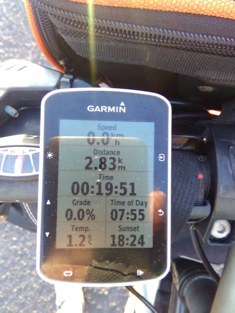
Nice shorter ride today and the last third was even fairly flat!

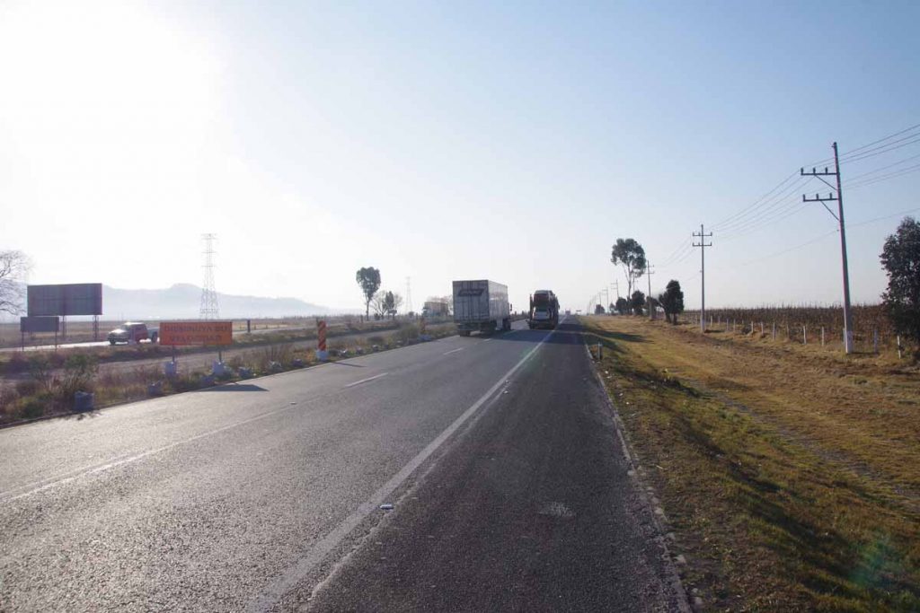
Tamalazulapam was a nice little town. In the morning, I filled up on water and set off. The first 25km were generally uphill though with more gentle grades than yesterday. I’m still surprised at how many of these road side restaurants one passes and this morning even saw them used.
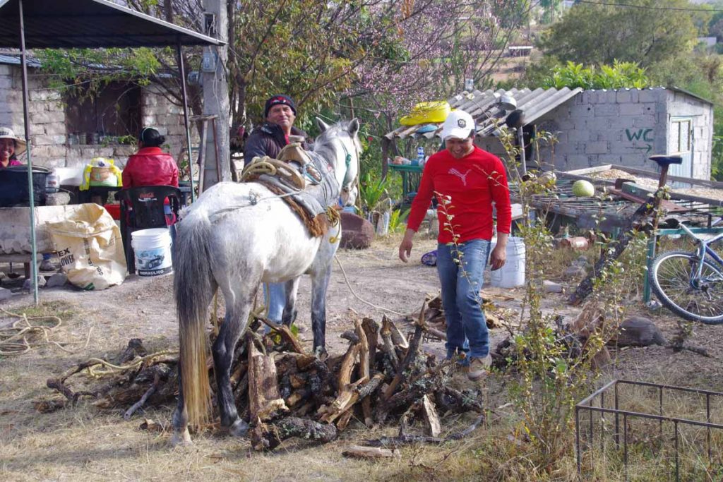
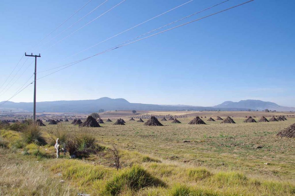
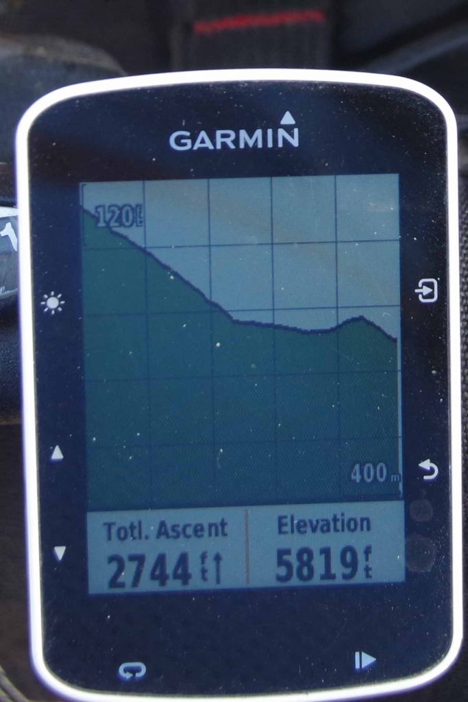
I stopped at small shop around 17km. The horse had just arrived with a load of wood. They had untied it and let it fall to ground on either side. After that the last 8km and I was at 2490m (8170ft). The road was occasionally rough both on climb and descent.
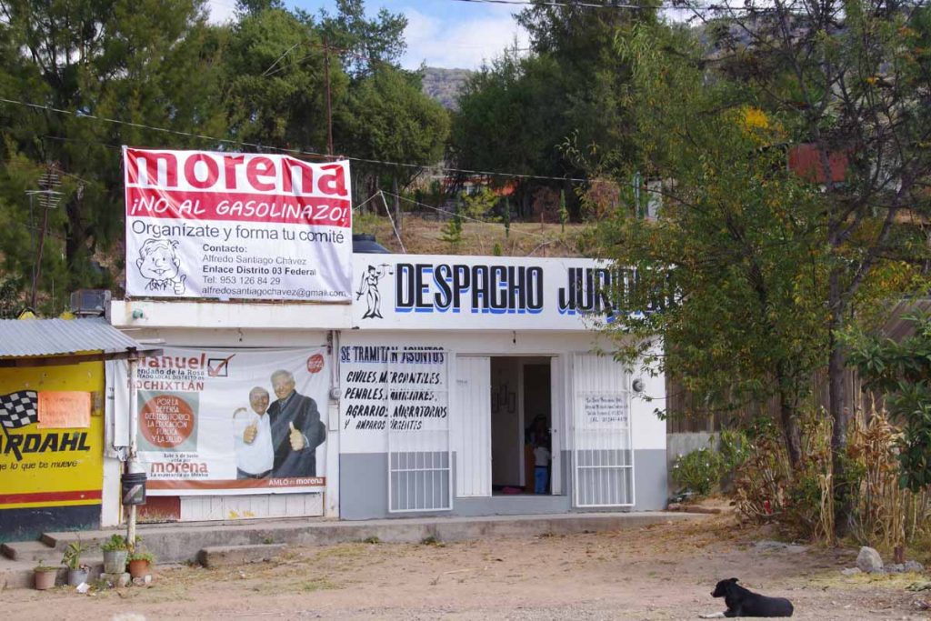
Signs for protest on recent ~20% gasoline price hikes (gasolinazo). The Morena political party is protesting these hikes recently announced as part of deregulation of energy industry and letting prices reach world market prices. Drop in value of the peso also doesn’t help since oil is priced in dollars.
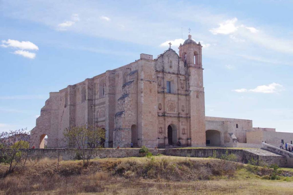
Santa Domingo had a huge church and convent. After this point, the route also became noticeably flatter.
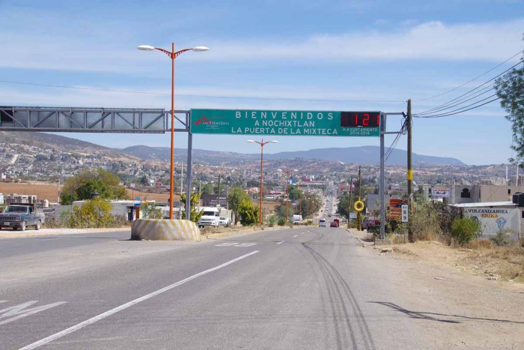
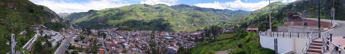
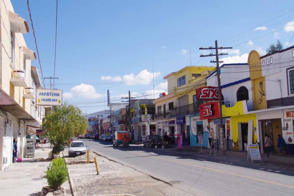
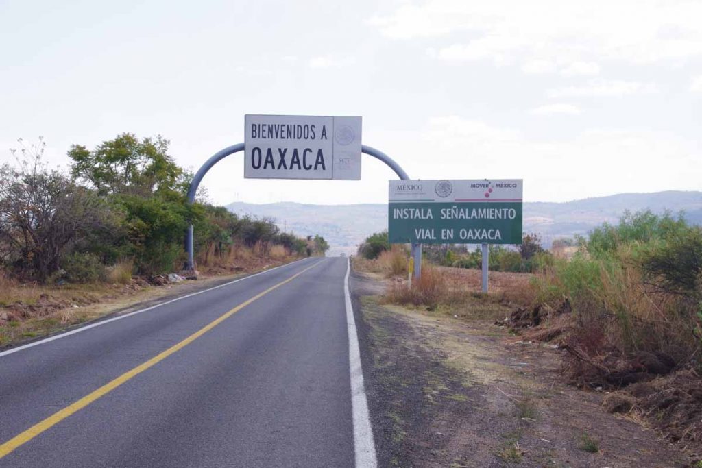
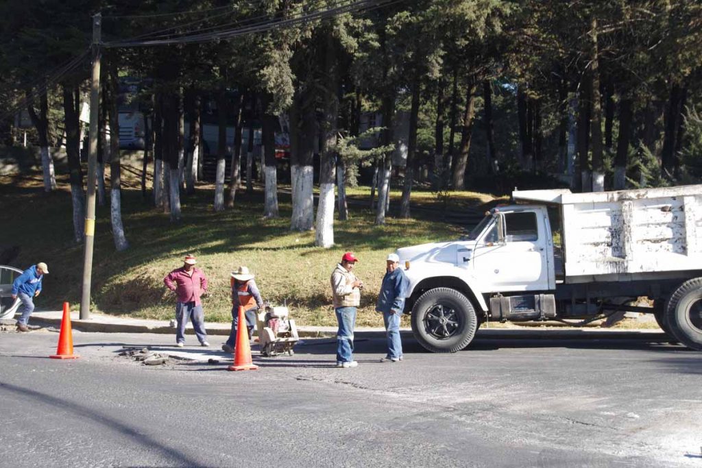
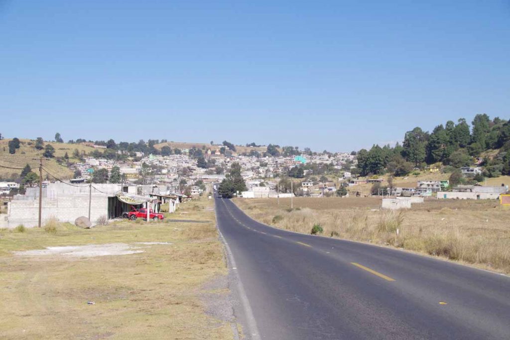
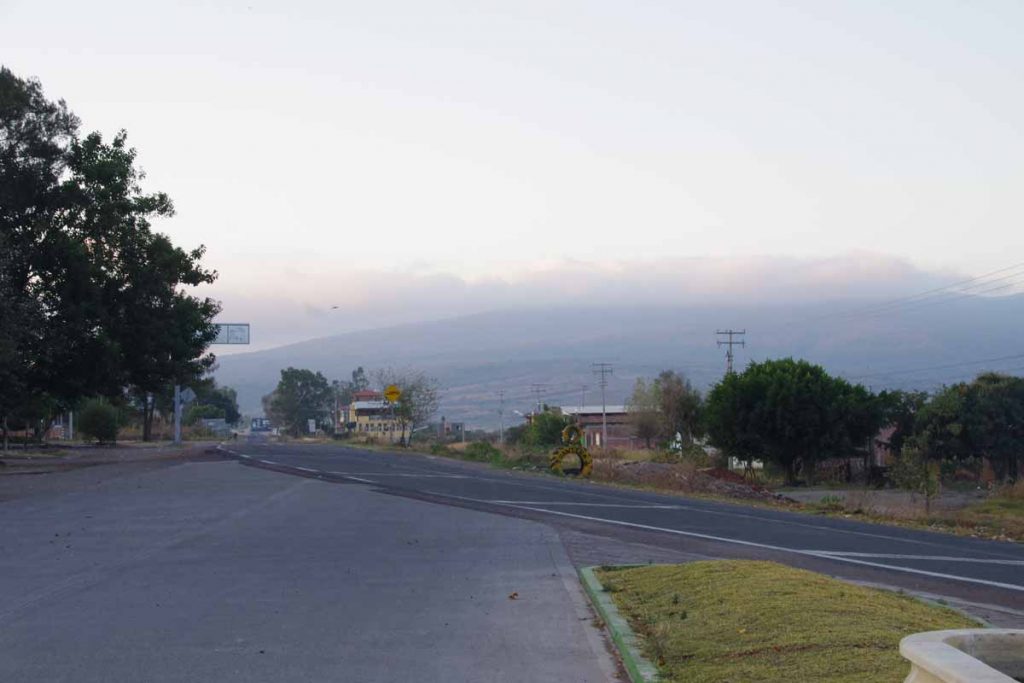
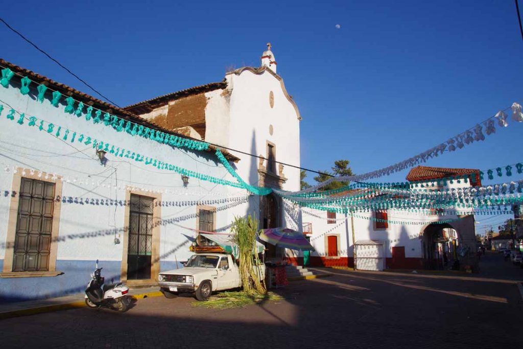
Nice to see the sign on entry to Nochixtlan. Found a hotel and then walked downtown to the plaza.
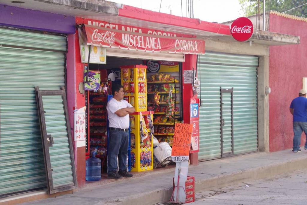
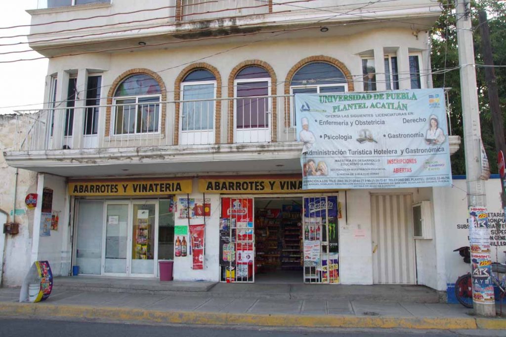
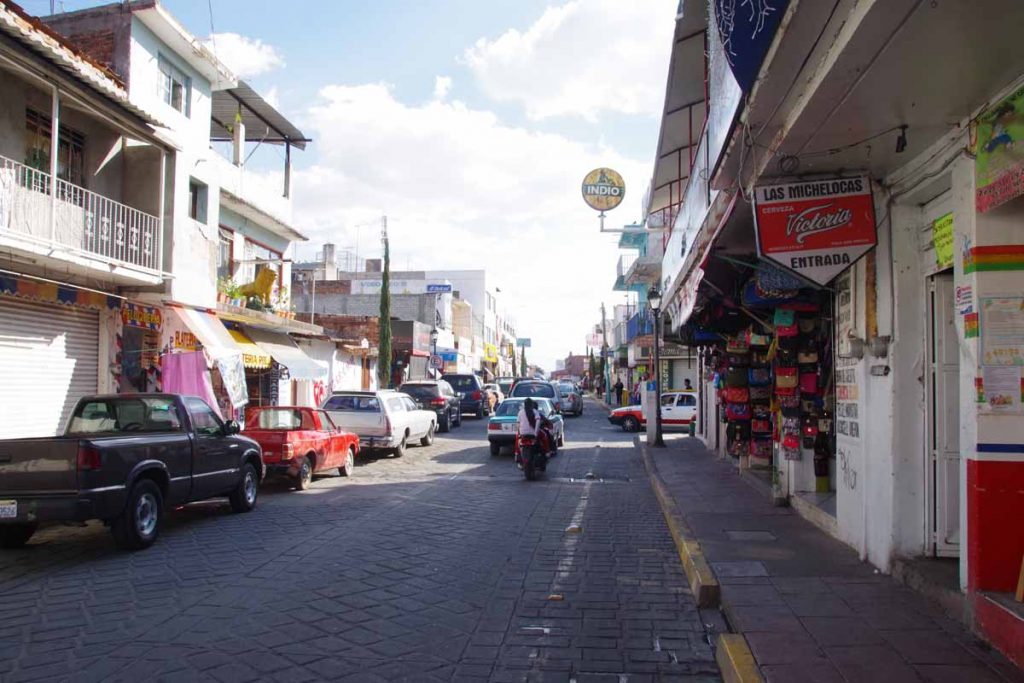
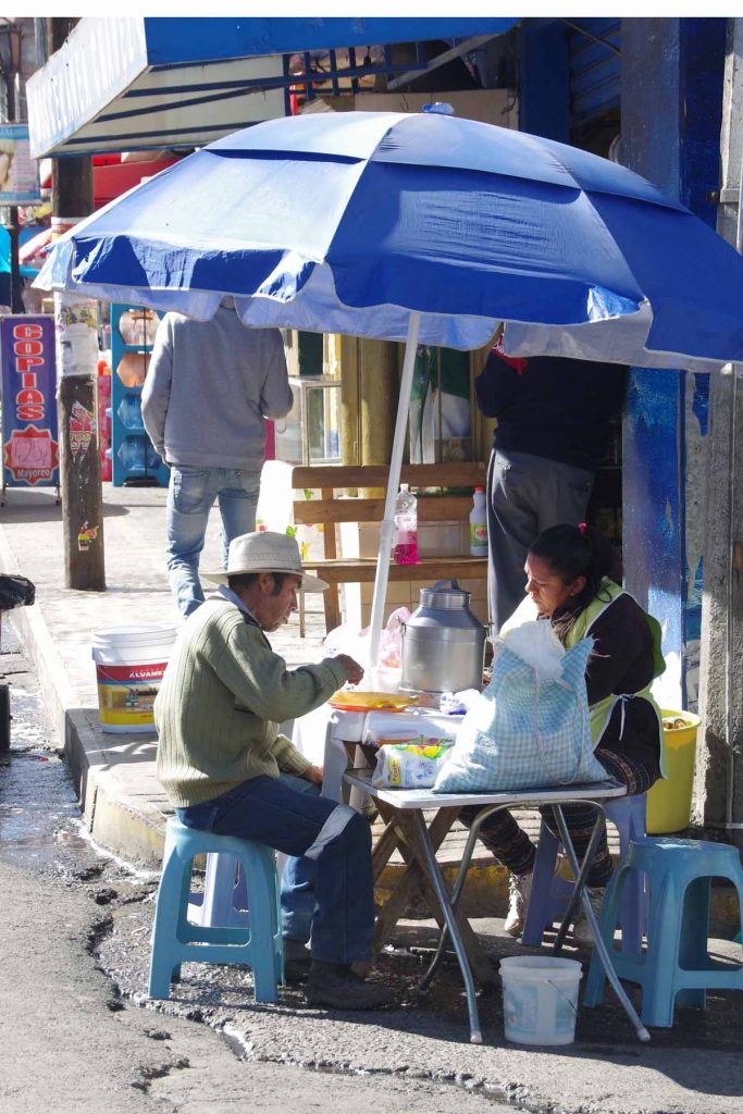
Many of these little shops around.
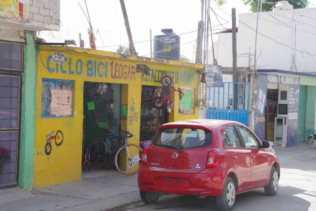
Local bike repair. I’ve seen quite a few locals on bicycles these past few days. Also noticing more internet cafes here than before. Otherwise relaxed in this small town. Now about 80km until Oaxaca where plan is to take my Spanish class next week.
Tamalazulapam del Progreso
Shorter ride today with some hills.
Next larger town after Huajuapan is 93km away. However, also 1600m of climb. Since I have some time until Oaxcaca, elected to split this hill region into two shorter days. Today was 914m of climb in 40km. Several small villages along the road today, though no services until the end.
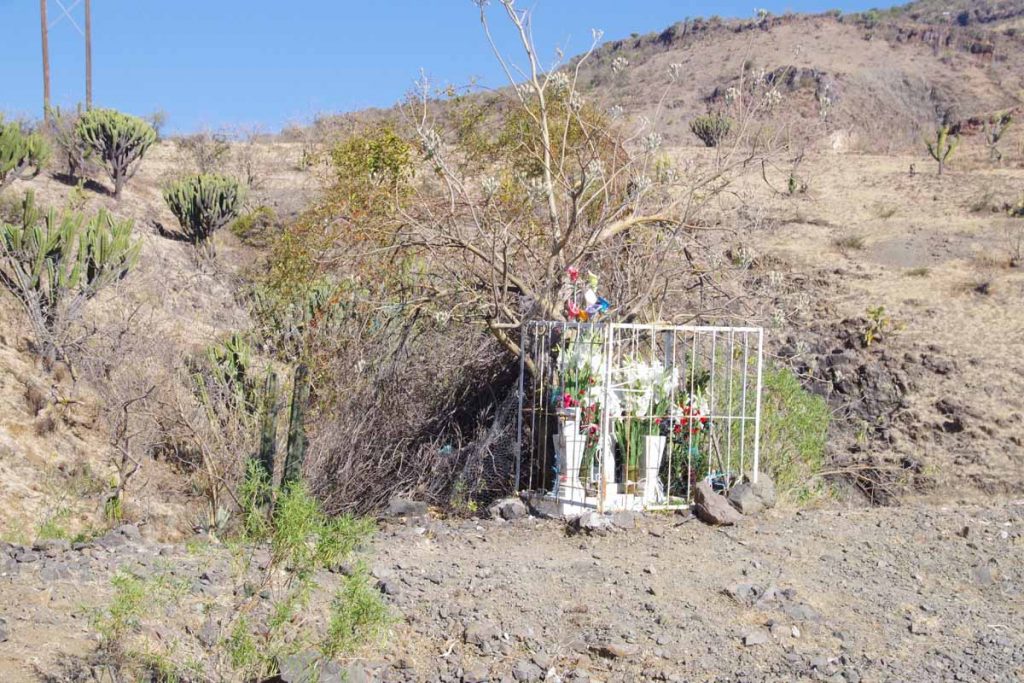
The road had many bends and multiple memorials giving reminders of the dangers. However, overall traffic was light and gave plenty of room.
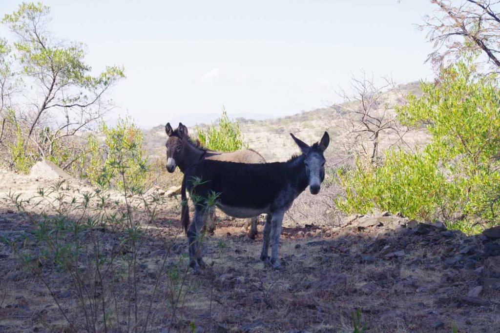
These donkeys right along the road. Continue to see goats along the way as well.
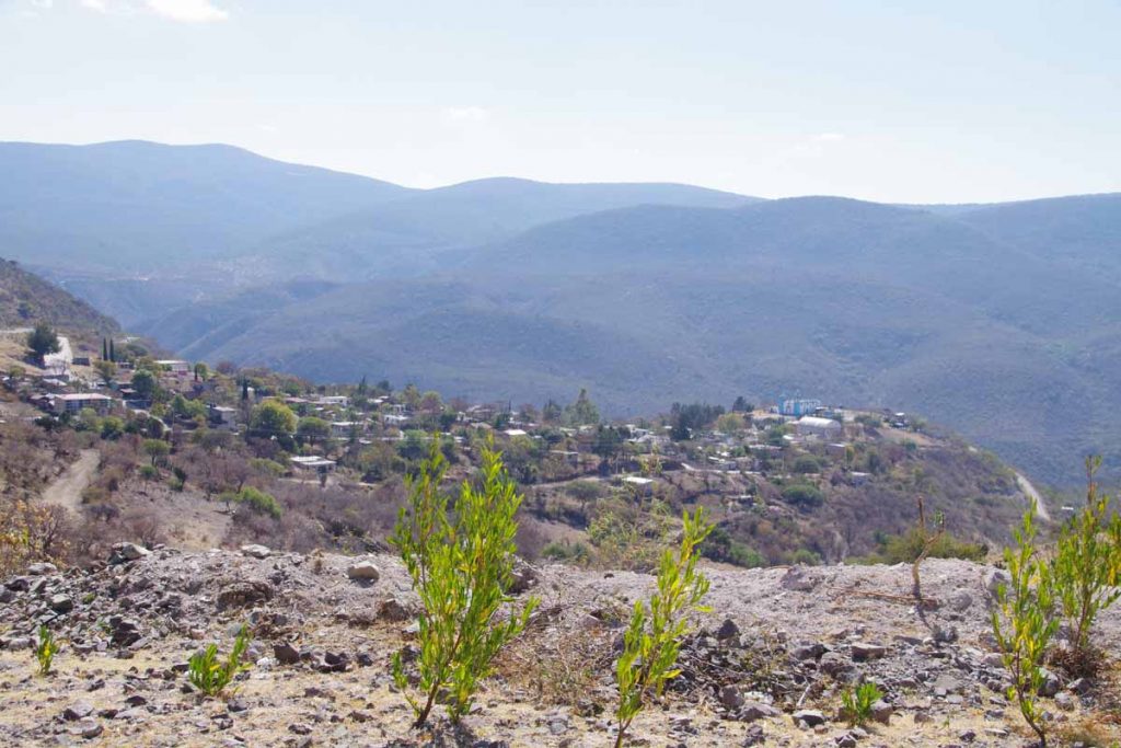
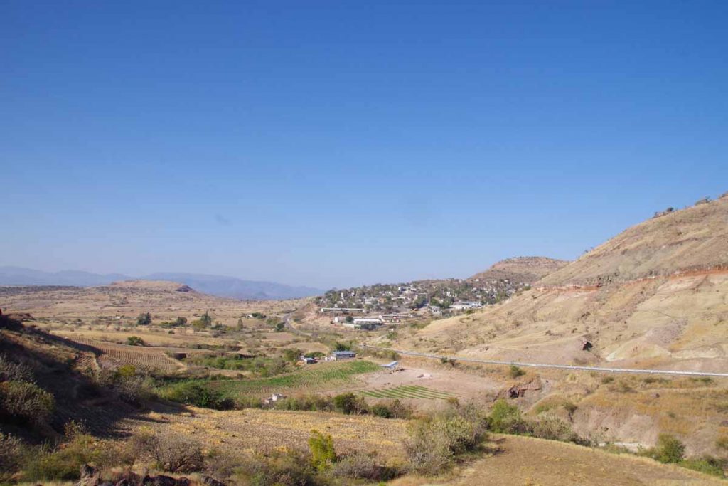
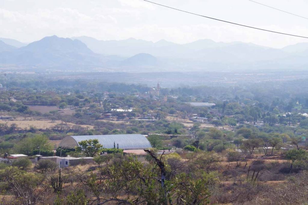
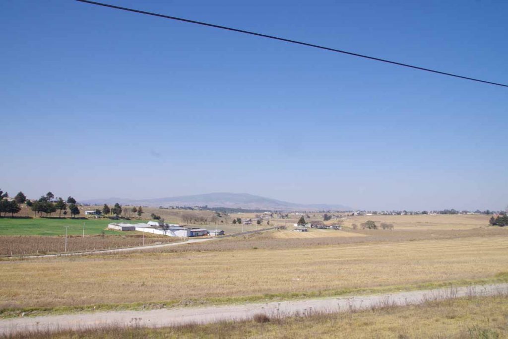
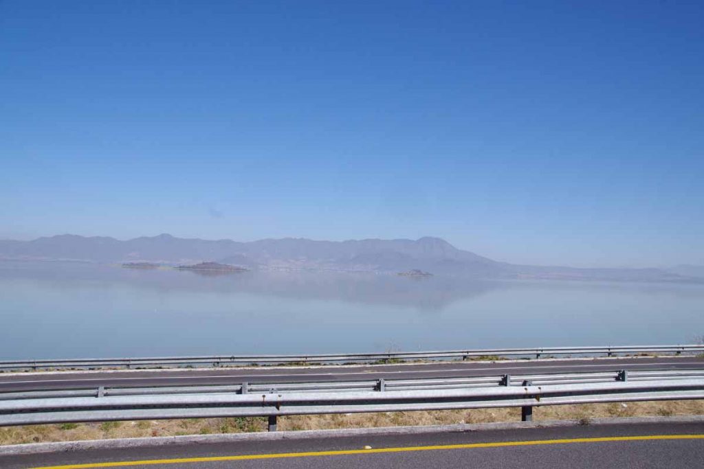
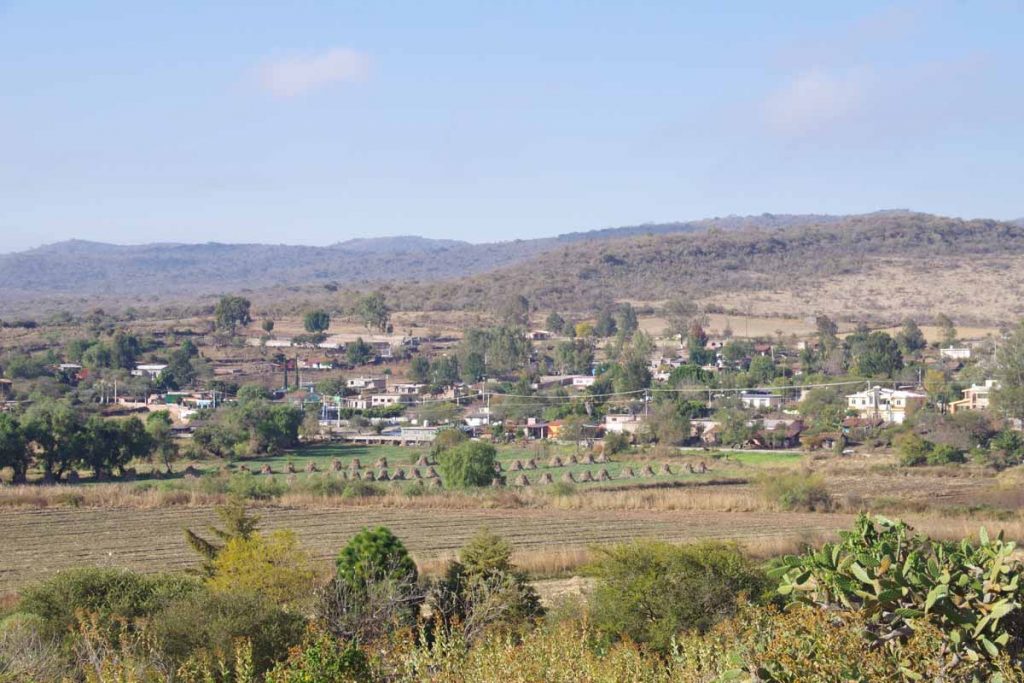
Town of Santa Maria Tutla below at 30km. After this a good descent and then last climb back to 2200m elevation.
Tamazulapam looked like small town, though had at least two hotels.
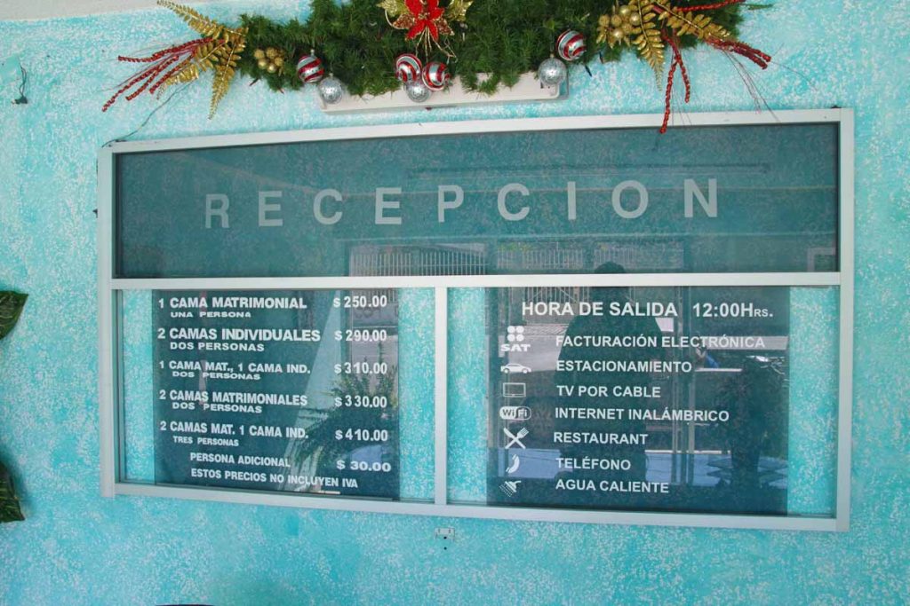
Hotels typically post their prices. At 22 peso per dollar, not too expensive and nice to have bed and shower as well as hot water and wifi.
I had dinner at the restaurant associated with the hotel. It was a fixed price menu including:
- Soup
- Mole Verde
- Rice
- Beans
- Corn Tortillas
- Jello
Price was 50 pesos.
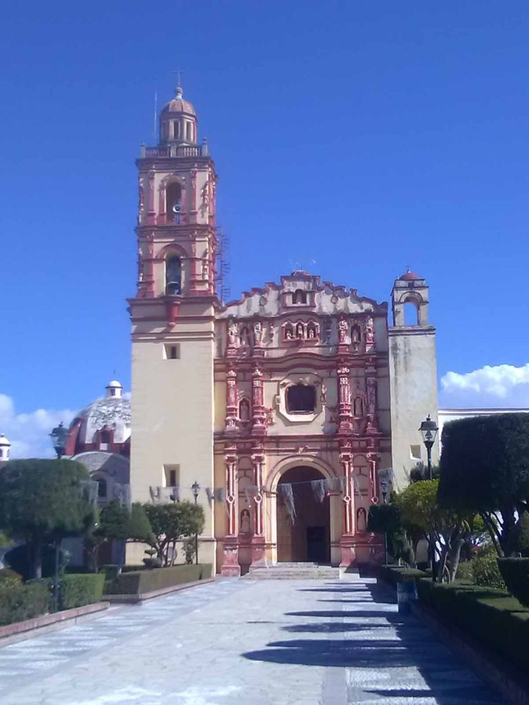
Wandered through town to see the church and the main square.
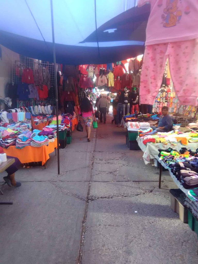
Behind was a whole shopping district.
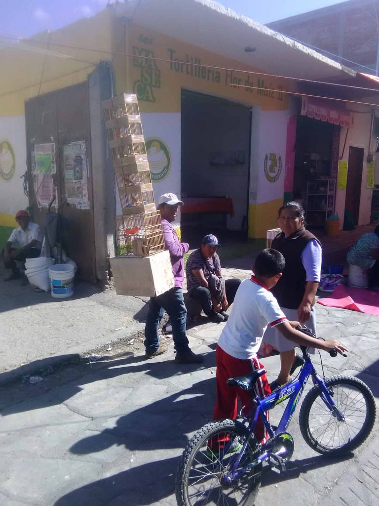
This guy had a stack of birds in cages for sale.
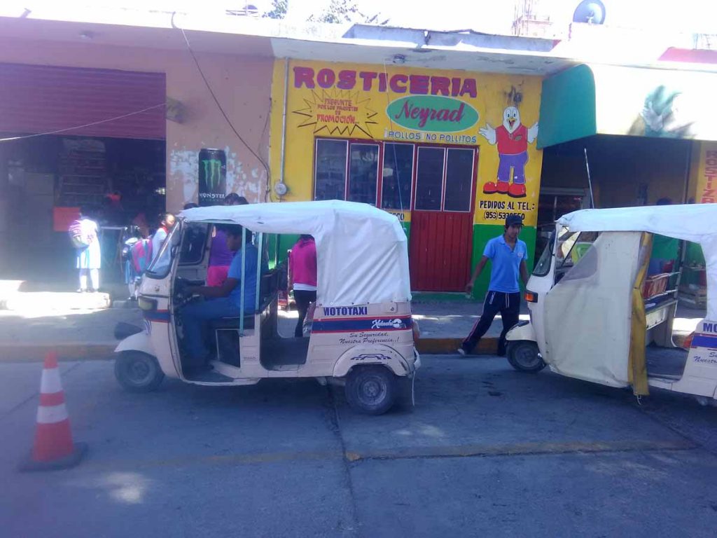
Also interesting enough “moto taxi” seen in Oaxaca which those from India will recognize.
Huajuapan
Hilly ride but overall easier than yesterday.
Started off at this store to get a few breakfast items. Climbing started very quickly after that. Grades were rarely steeper than 6% but there wasn’t much flat terrain today. Only 65km of riding with 1225m of climb.
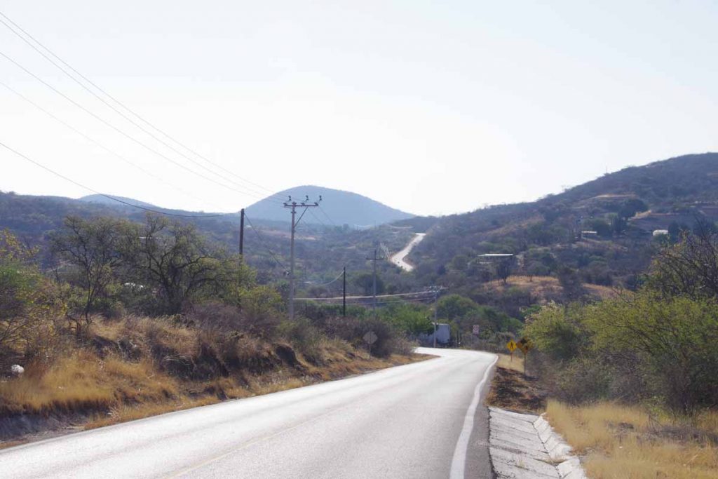
Good example of the road ahead.
At 21km the village of Petialcingo was down and to the left. I came past several such villages today.
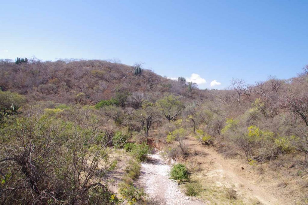
Good example of the landscapes and plants along the way.
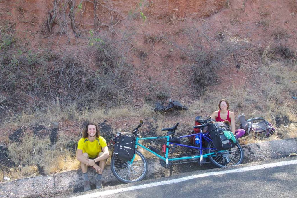
These Canadian cyclists from Montreal started in Mexico City and were headed to the Yucatan Peninsula.
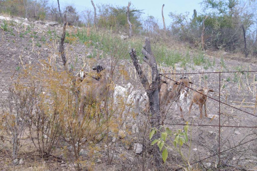
I’ve seen more goats here. These were clearly trained to come investigate when someone stopped by their fence. By end of my rest break, I had an entire herd interested in watching me.
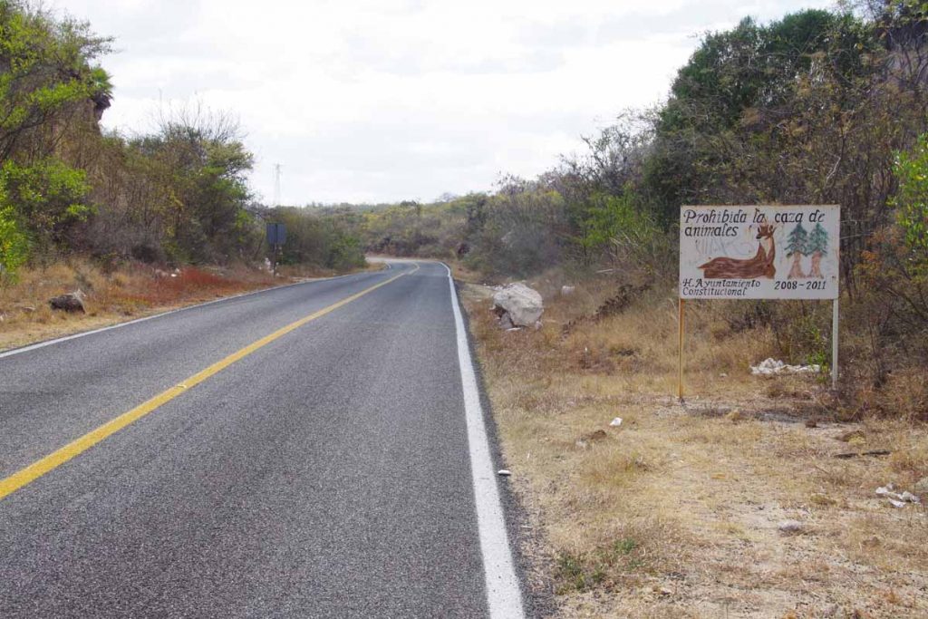
No hunting.
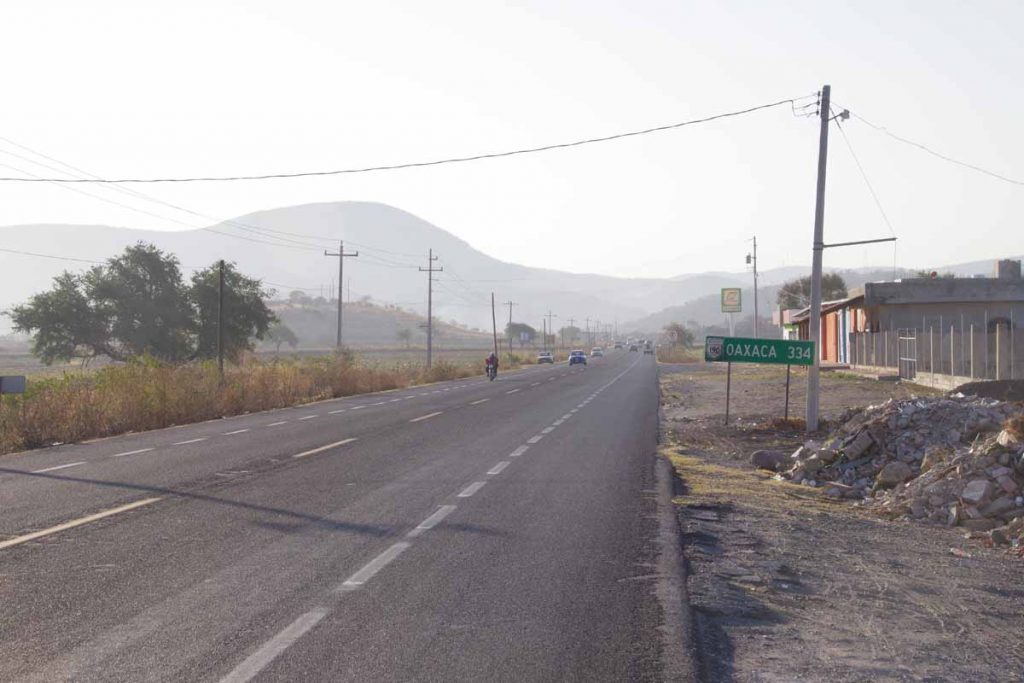
At 48km, I entered into Oaxcaca. A few more climbs after this, but the majority was definitely done. Stopped 3km later at small village for a snack.
Good descent into Huajuapan and then surprisingly crowded little streets. Found a good hotel and carried the bike up to the third floor. Plotting out my remaining rides to Oaxaca (the city). Most likely make it three easier days since Spanish class doesn’t start until Monday.
Acatlan de Osorio
Today was tougher ride than average. No single factor, but distance (88km), climb (1068m), heat (~31C) and bumpy roads all contributed. Happy to get to Acatlan.
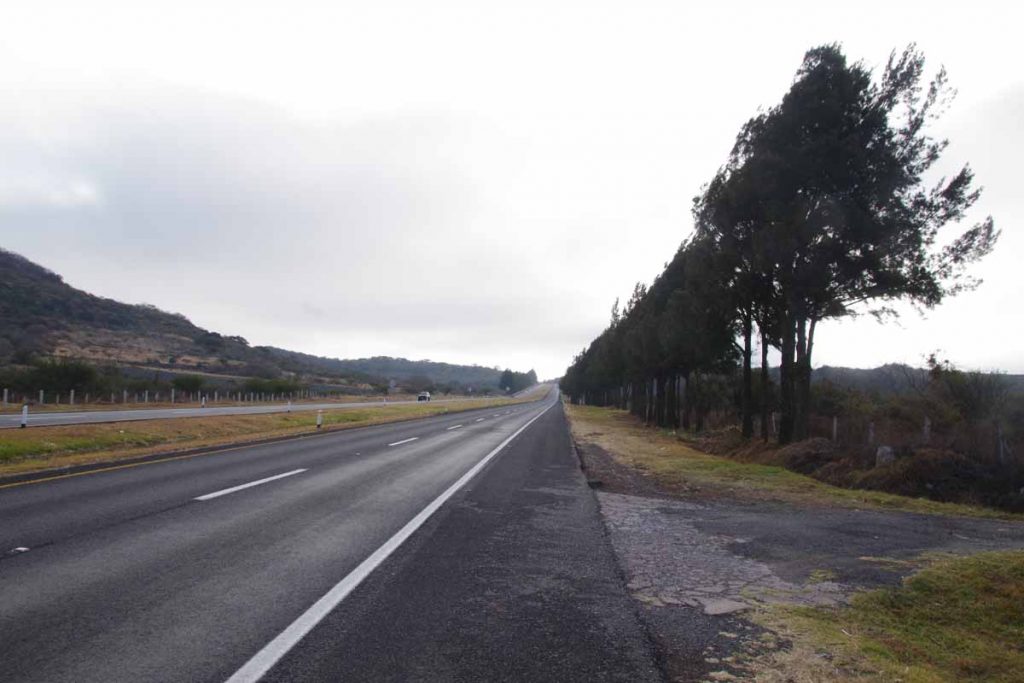
The road from Izucar de Matamoros started out flat with a wide shoulder. After 10km it climbed 200m up to a low summit which I reached at 15km.
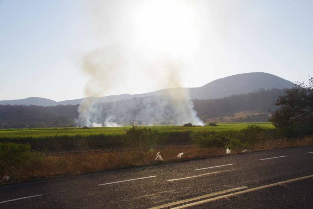
It looks like the dry season as they were burning here as well as several places yesterday. Yesterday it was sometimes very close the road as I cycled through thick smoke.
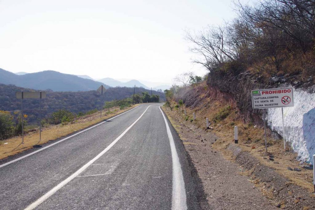
At 15km, the road started a descent of almost 500m. The shoulder disappeared and occasionally the road became bumpy. Sign at right prohibits capturing or selling wild plants.
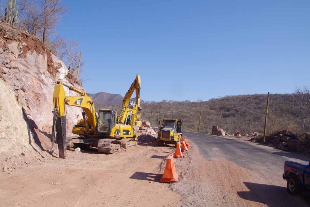
There was also road construction.
Fortunately, it all leveled off near 26km where I spied a small restaurant. Stopped and had a snack as well as chance to take a quick rest.
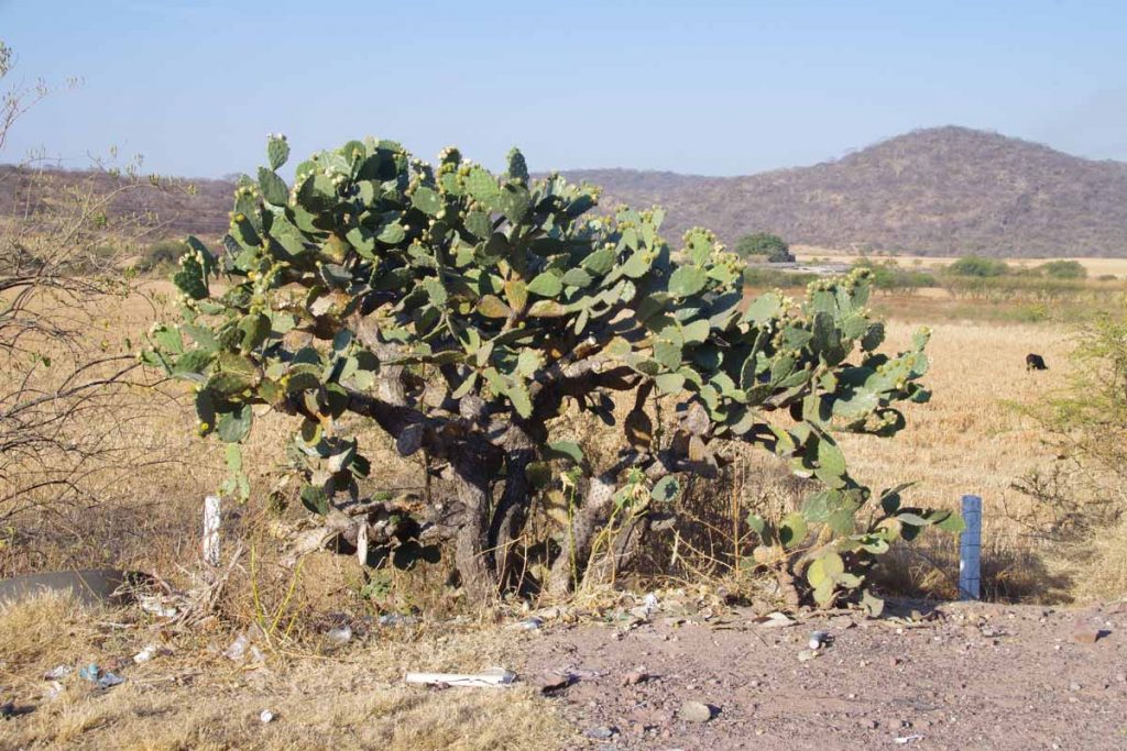
Along the route today were several different types of cactus, looking like crosses between bushes and trees.
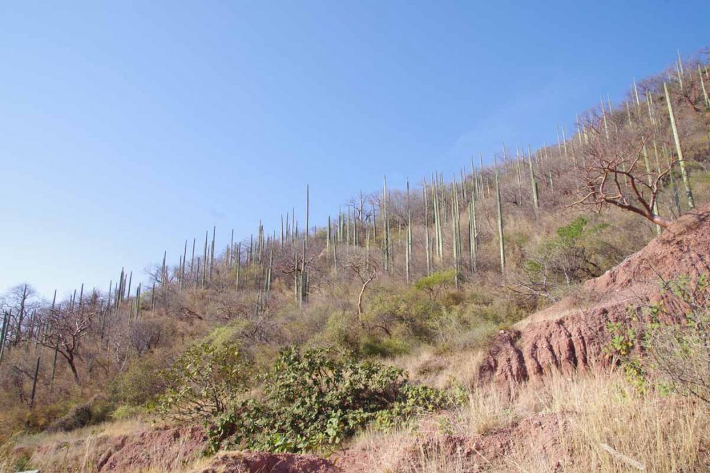
Also rather long and tall cactus.
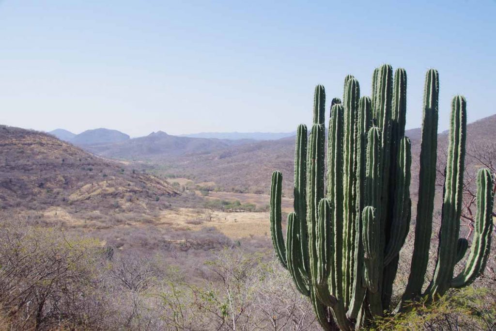
This one was overlooking a valley on another small climb.
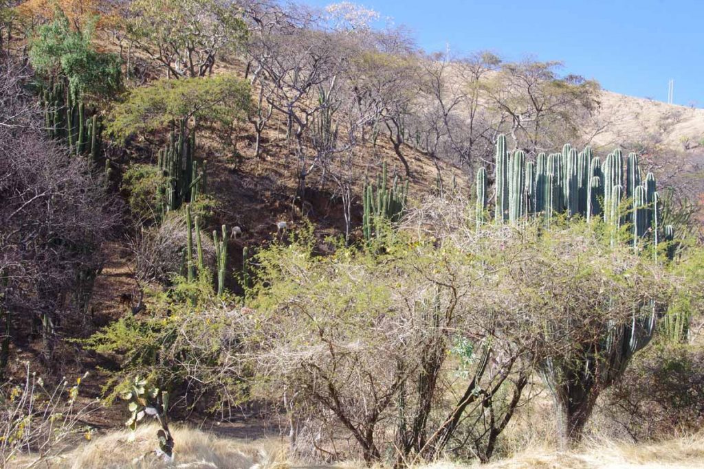
More cacti.
At 46km I came to a village and stopped at restaurant for lunch. After this, it was also noticeably warmer. My speed slowed a bit further. It was a gradual climb that topped off near 72km and descent after that.
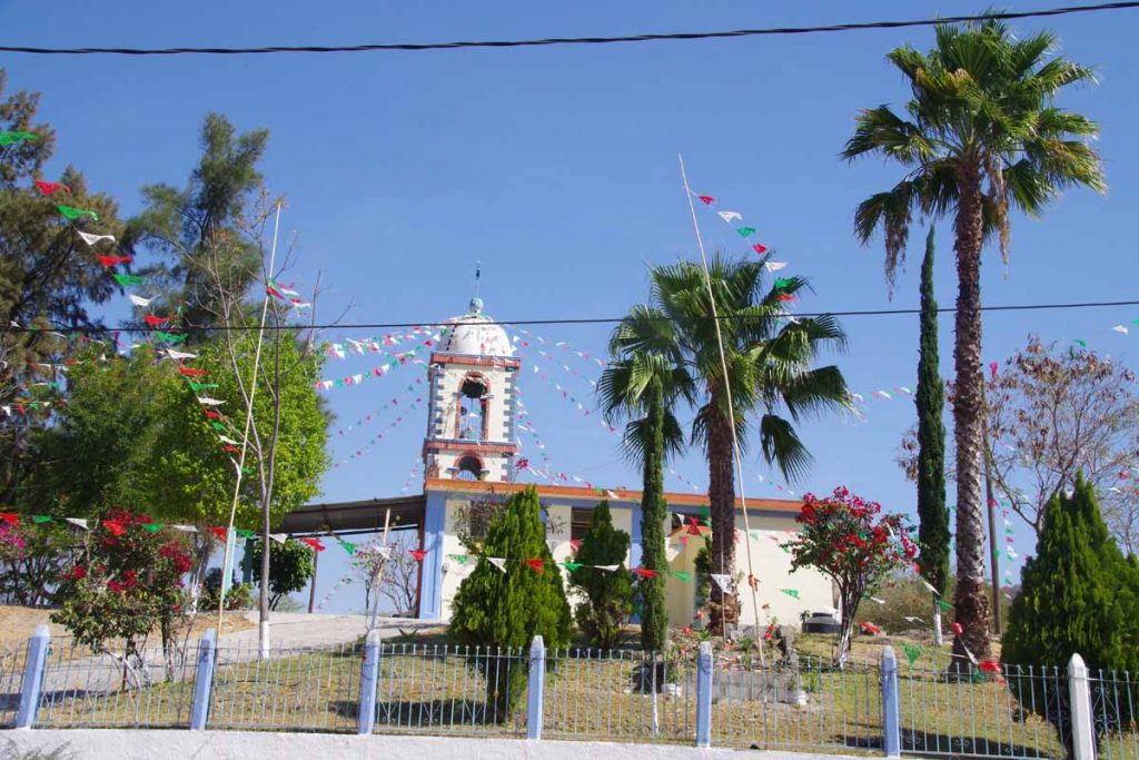
Many of the small villages here have well decorated churches.
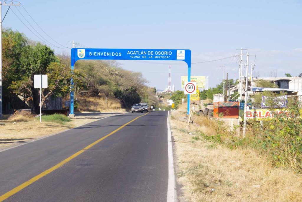
I was happy to see the Acatlan welcome sign. A few more kilometers before I was in middle of the city.
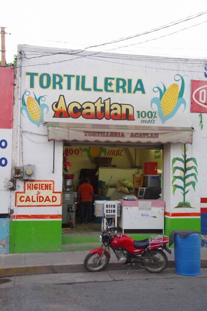
I think I’ve transitioned to areas that corn tortillas are more common than flour.
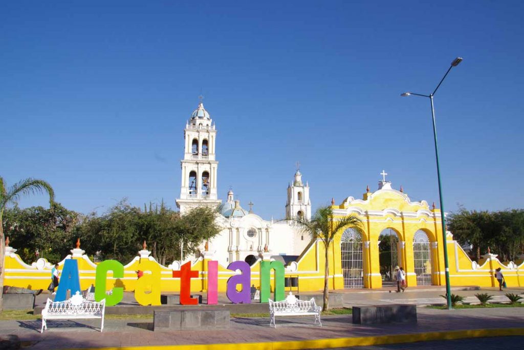
Acatlan has a nice central plaza and square, with their church overlooking. Happy to get here after a longer day.
Izucar de Matamoros
So long pine trees, hello again palm trees and sugar cane.
Yesterday a relaxing day in Cuernavaca so was fresh on the road this morning. Today had some climbs (982m according to odometer) but more descents than climbs so I’ve now transitioned into warmer region and different crops.
The first 16km I took a back road to Tepoztlan. It started out urban and more downhill but I ended up climbing it all back up the last few kilometers. Photo above is looking down over urban areas of Cuernavaca.
At this point I was on 160D and descended from 1800m to 1300m. This road wasn’t as much fun as the shoulder was narrow with a rumble strip. So I alternated between descending on the highway and shifting over to the shoulder. Fortunately, once this bottomed out near kilometer 30, the road became a wider cuota with a wider shoulder.
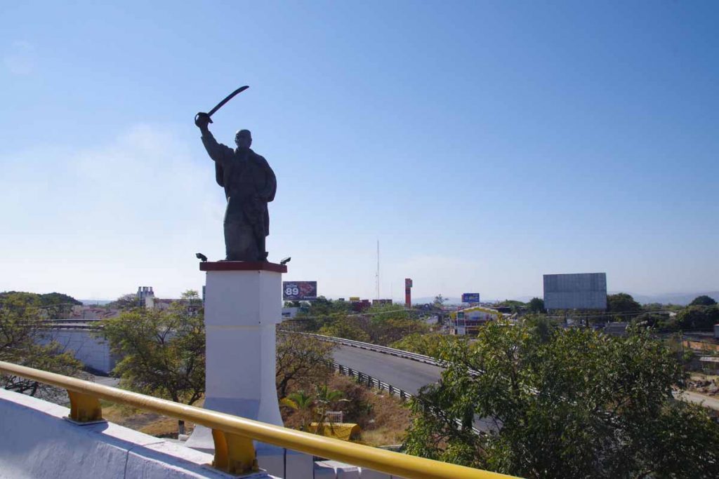
Also had some more traffic, but overall not real busy. Near 45km, I came past turnoff to Cuautla where this fierce looking statue was overlooking the commercial billboards. I ended up on a bypass with a bit of climbing and then back out into rural areas again.
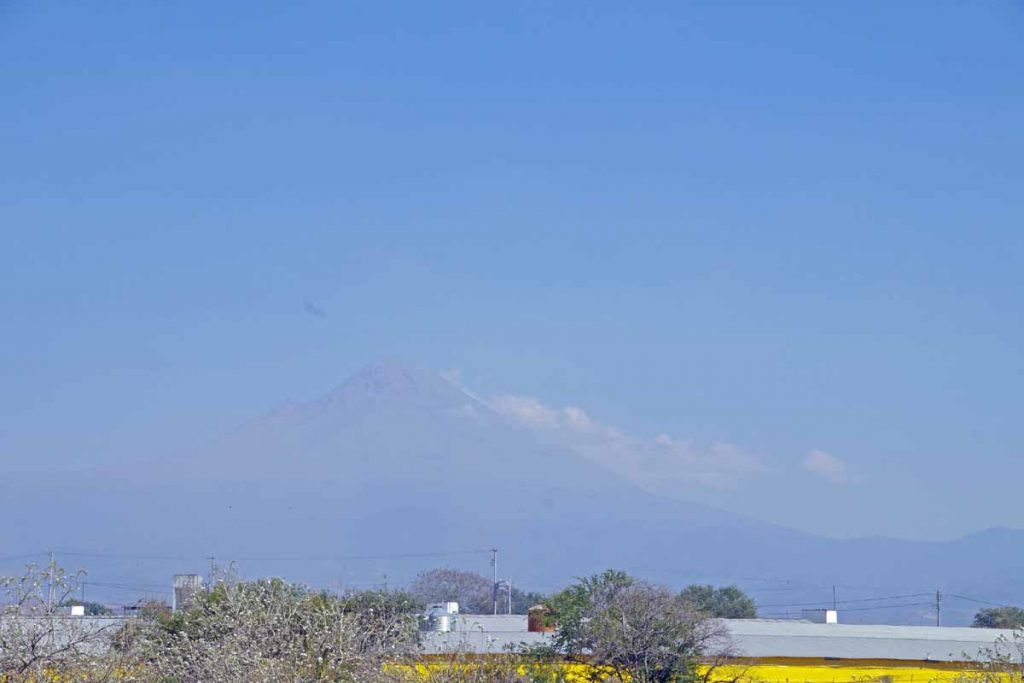
It was a bit hazy but off to the left I could see Popocatepetl. This active volcano is Mexico’s second tallest peak at 5426m (17,802ft). It is also North America’s fifth tallest peak.
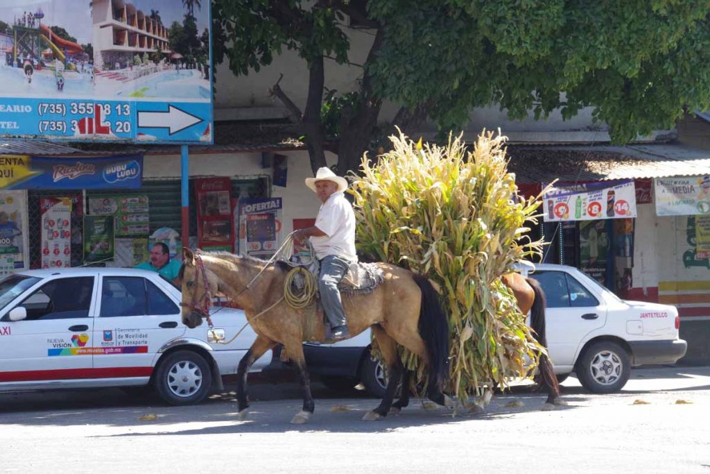
I’ve seen a few more horses being used today. One horse has the rider and the other the crops.
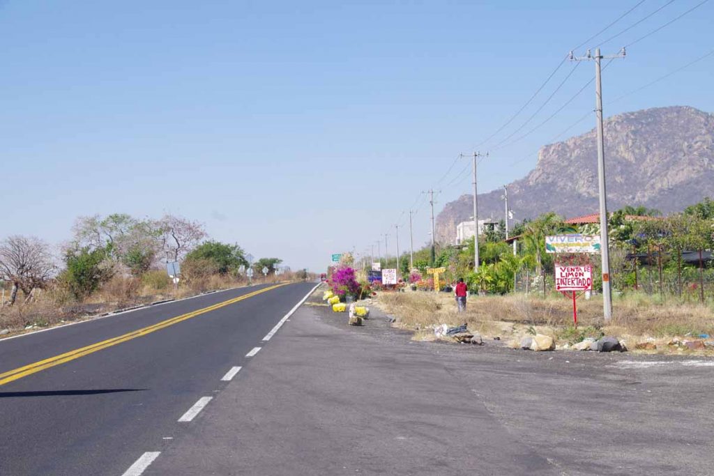
By afternoon it was getting warmer, but still pretty riding. By now the road had also narrowed to two lanes without much shoulder. However, there also wasn’t much traffic.
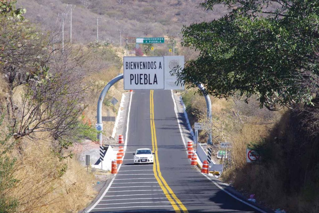
I crossed the border to Puebla state, the 7th state I’ve cycled in Mexico. Best guess is 72 states total: 50 in the USA, 7 in Mexico, 6 in Australia, 6 in India and 3 in Germany. Other nations call their subdivisions other names like provinces, oblasts, departments, districts, etc so didn’t count those.
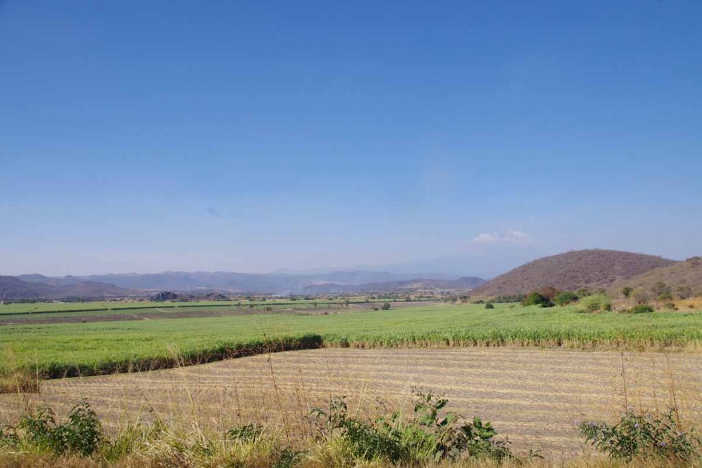
Here was a good example of fields of sugar cane.
I was happy to see Izucar de Matamoros appear ahead. Found a reasonable spot to stay.
During my rest day also sorted out a bit of road ahead. I’m about 327km from Oaxaca. Plan is to stop there and take a five day Spanish language class. At end of that class, I’ll be joined by another cyclist and plan is to ride with two of us to family he has in Costa Rica. Look forward to cycling with two of us, and coincidentally Guatamala, Honduras and Nicaragua are good places to ride with more than one.
Cuernavaca
Over a big hill today with a lot of descent, some of it steep. Otherwise, riding today had a bit of everything: busy highways, small villages, a climb through pine trees and descent. A lot of descent.
The first 8km were leaving Toluca following highway 55. It was busy, but usually had a shoulder and I was already part of the way out of the city. At the 8km mark, an exit took me under the highway in a small one-car width tunnel. The roads now took me through several villages. The small roads and village roads have frequent “tope” or speed bumps, so I would also slow to carefully go over. It was relatively flat and road conditions varied.
At 23km, I turned south and came through a bit more hilly region.
Still a few agricultural fields though.
This photo was looking back at a village I had crossed. I was surprised at how many businesses were advertising as roadside restaurants and the like. Not sure if this is otherwise a vacation region for those from Mexico City urban areas or otherwise.
These folks were having a meal in one of the villages.
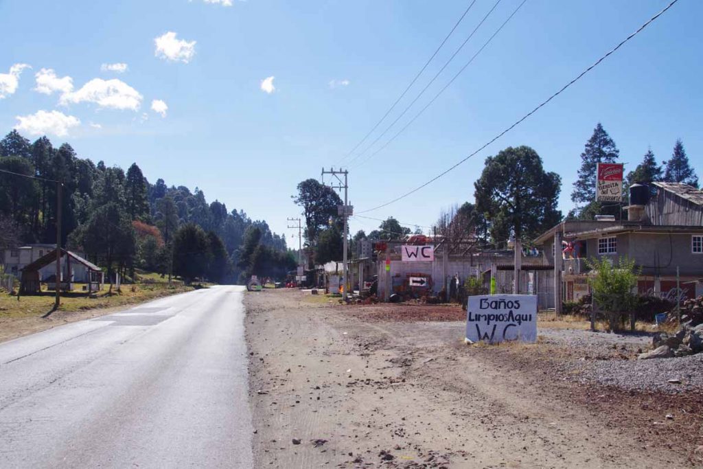
The other thing I noticed were a surprising number of “WC” signs. Not sure if this is the English “water closet” aka toilet or something else, but at least in sign above they seem related.
At 40km, I came to junction in village of Santa Martha. I was at 2800m (~9400ft) elevation and a small road led further uphill. I filled up on water and got a snack before setting off for a slow climb.
At 47km, was close to my top elevation. From here a reasonable descent, though the road was sometimes rough.
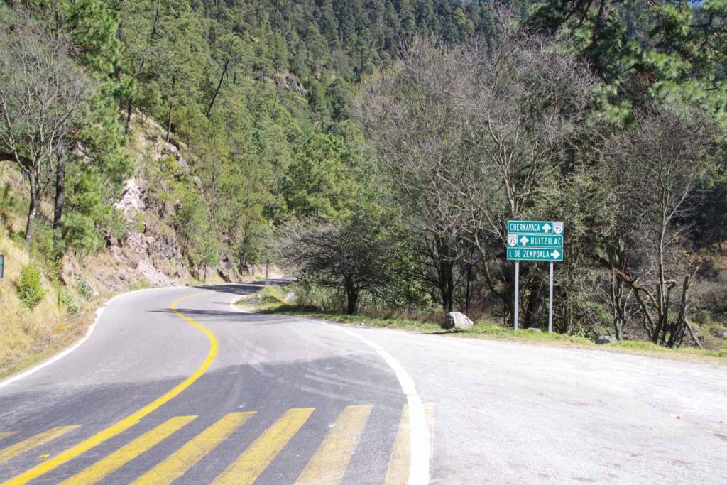
It was a nice and winding road and came along a park. Not far from here I also crossed into Morelos state, though I didn’t actually see signs.
By 65km, I had pretty much crossed over and could see Cuernavaca nearly 1000m further below. The next parts of road were very steep. I’m not that good at steep downhill so kept it cautious and rode down using my brakes a fair amount as well as stopping a few times. Fortunately, 10km further brought me to northern outskirts of Cuernavaca and reasonable place to stay.
I am now closer to 1800m again and days will again be a bit warmer. I’m also still several kilometers from city center (and several hundred meters higher), though don’t plan to ride through middle of this city.
Toluca
Today an easy recovery ride ended in a busy city.
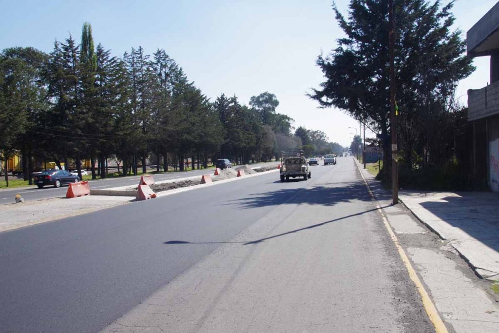
Once again cold starting out, locals here are wearing hats and scarfs. Today was also considerably flatter with only 350m of climb total. After 3km, I saw a Subway and stopped for breakfast. After this the road became a cuota shown above mostly with reasonable shoulder. It was nice riding flatter terrain for a change.
Around 25km, I was coming through a wooded area and saw a large group in brief pause from walking along the highway. Apparently on a pilgrimage walk to some place beyond Guadalajara.
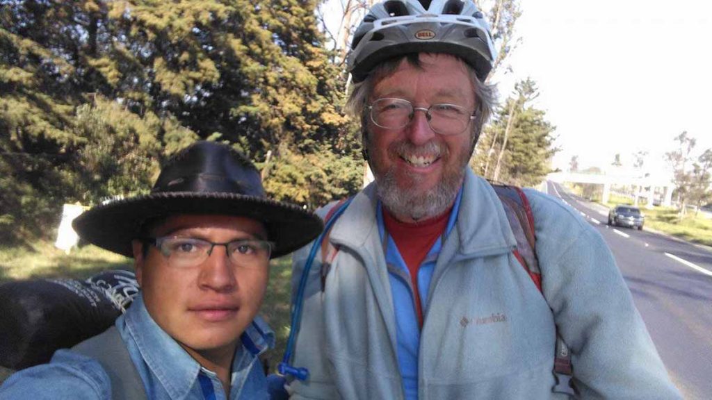
Amadeo Hernandez came over and we briefly discussed our respective trips. He was also a cyclist. It was fun making that connection. Selfie photo from Amadeo, thanks!
Areas that weren’t wooded, looked more like photo above.
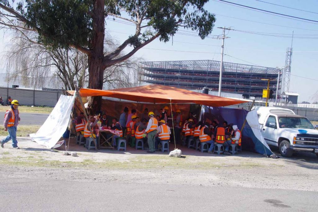
These guys worked at plant behind in the photograph but were having their lunch break.
After 50km, I came to toll booth and then more urban riding going past the center of Toluca. Toluca has a population of 800,000 in a metro area of 1.9 million, making it fifth largest metro area in Mexico.
The road started fairly easy with three lanes each way in the middle and a similar three lanes on the outside. Occasionally trucks would park in the right lane but typically traffic was light enough to pass on the left. The last five kilometers became much more crowded and I was part of stop and go traffic.
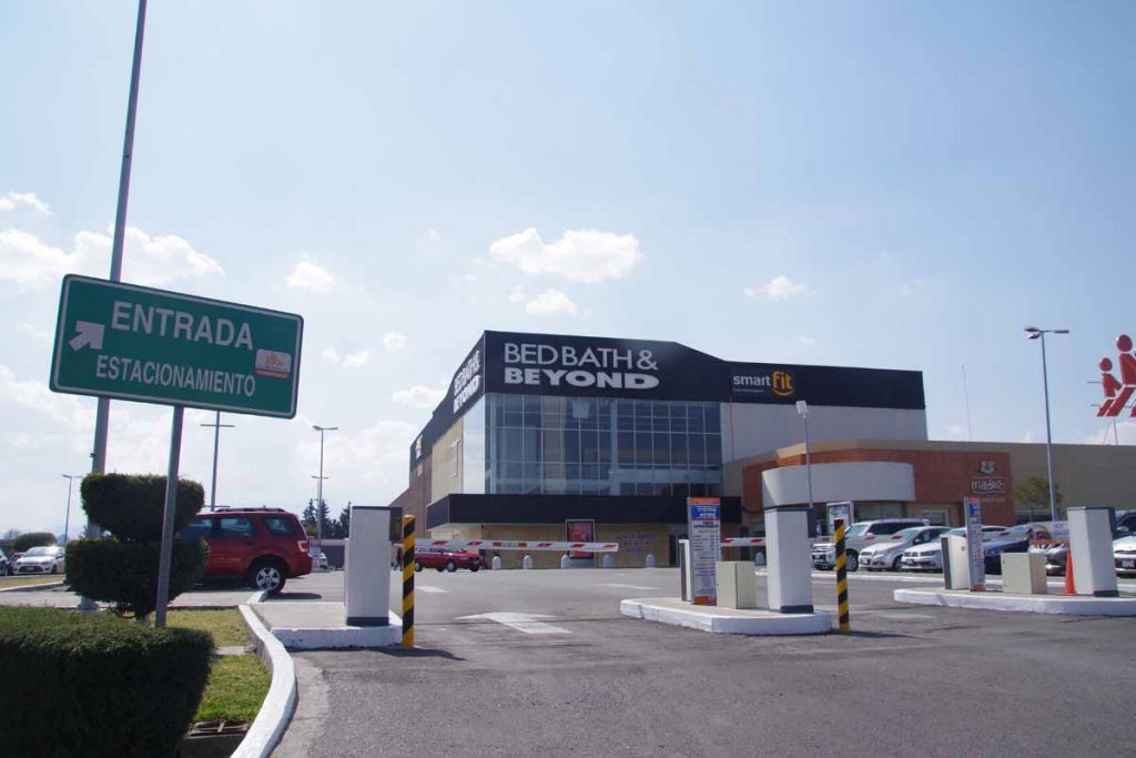
Unlike other cities where I’ve often gone to a cathedral at center, I decided to pass along the center and instead get to one of the roads “outbound” so I’ll have shorter distance to depart tomorrow. This was where the big stores like Walmart, Bed Bath and Beyond, Sams Club, etc also seem to be found.
Toluca has been my second way point since Mazatlan. From here, plan is to cycle towards Oaxaca. I’ve been working through a little more precise routes to ride.
Atlacomulco
Two days riding, each with over 1000m of climbing have brought me to Atlacomulco. This is end of the main cuota stretching from Tepic towards Mexico City. My plan is to skirt Mexico City around to the south.
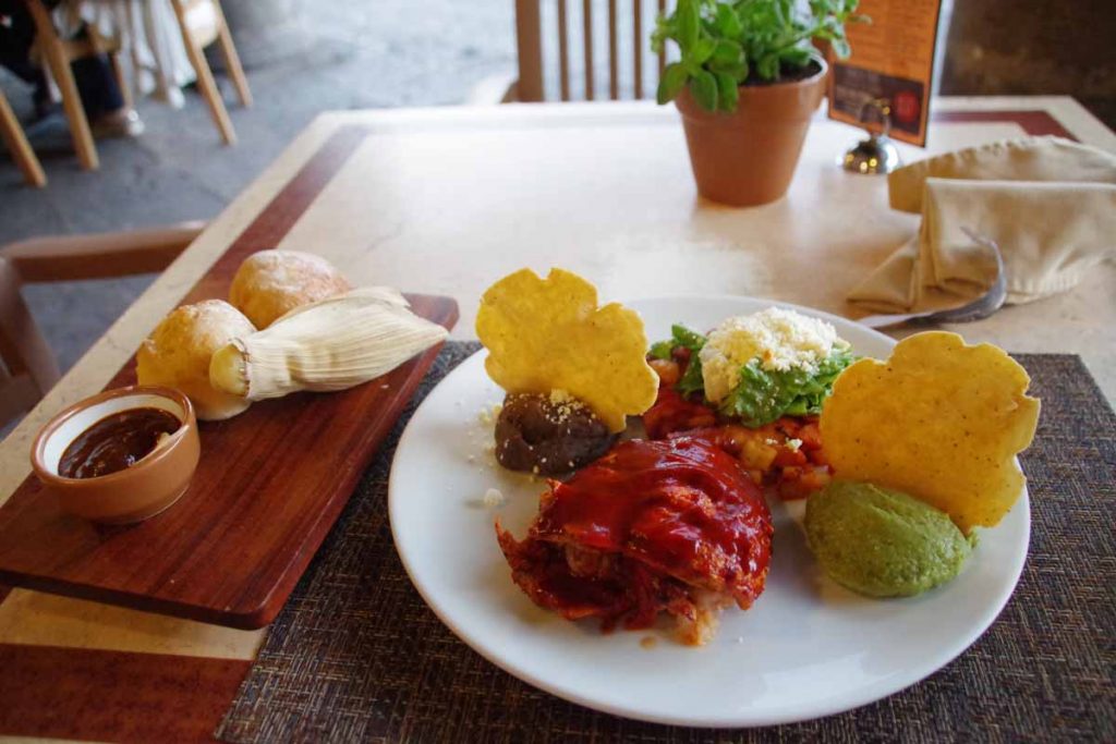
Before describing last two days riding, a note about food. Photo above was one of the most elaborate presentations of dinner. This one from restaurant in Morelia. Often, I’ll find a restaurant on my end city, but a lot of the time, I’ll also grab street food such as tacos from vendors on the street. During the day, I’ll stop at local shops or OXXO and get yogurt or cookies or other items as a snack.
By the way, meal above was 150 pesos (~$7.50) so more than average but not overwhelmingly expensive.
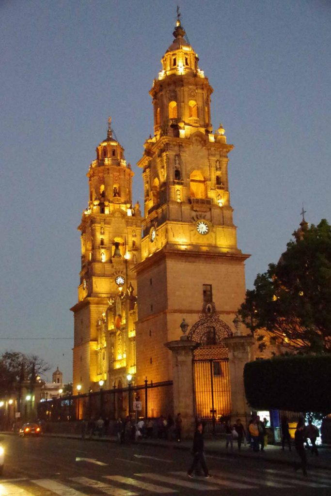
I had fun taking pictures of the cathedral after dark.
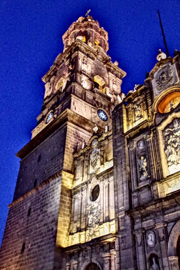
This was trying the HDR mode on the camera.
Day One
Today had a little of everything in it: city riding, rural roads and cuota. It was mostly flat for the first 55km and then a large hill to climb over in the last 40km. Leaving Morelia was a little more hectic than arriving. The larger city streets turned into an expressway leaving town with three lanes of high speed traffic. Initially this still worked well since the rightmost lane also had a lot of buses stopping and starting so was all slow. However, once I left the “bus zone” it was a bit faster. Fortunately less traffic leaving the city than arriving and by 9km, I turned onto the smaller road to the airport.
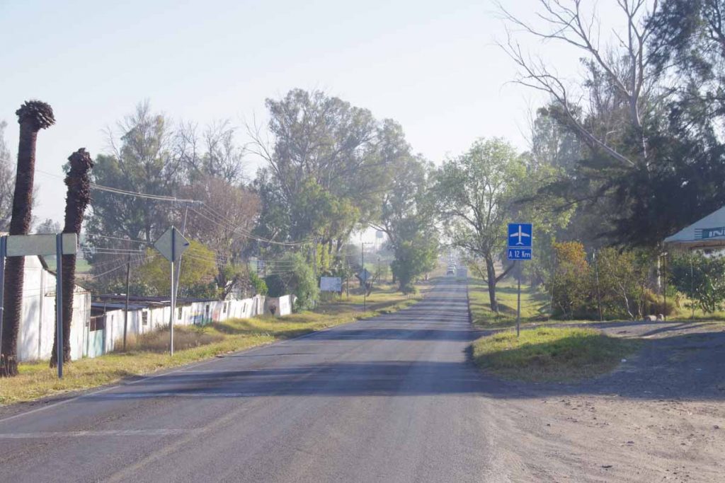
Photo above shows the nice calm road on way to the airport. Unfortunately, just before this was surprisingly busy because inbound traffic had all backed up, I think partially due to a school and partially general congestion. This meant outbound traffic including myself didn’t have a very wide lane and occasionally traffic would back up behind myself as well. Fortunately, this all only lasted a few kilometers before we got to quieter road above.
Around Morelia I’ve seen more of what look like subdivisions to me. A nice fancy entry and streets with cookie cutter houses. You can see some of them on the left.
A few blog entries ago, I mentioned I had most often seen “car wash” in English. Around Morelia I did actually see Spanish at least twice as well.
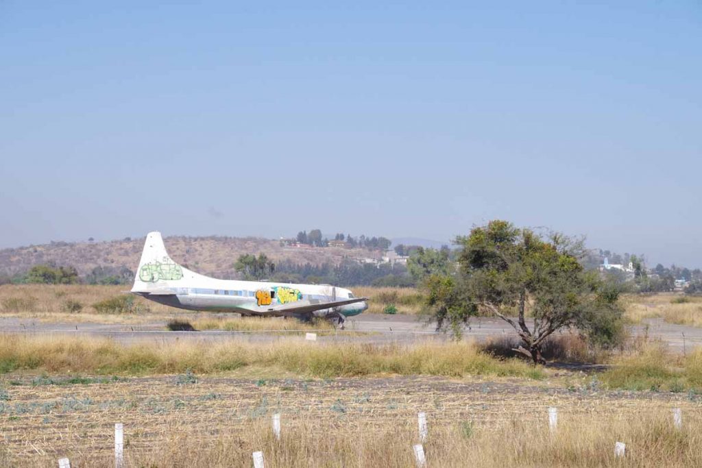
At 25km, I passed the airport. Not sure why this old graffiti marked plane was parked.

A few kilometers later, back to the main roads. Nice to see I’m closer to Mexico City than Guadalajara.
Next 25km were nice and flat, including passing by a large lake. At 55km were toll booths and a service area where I had lunch.

This was start of a big hill including this sign I think telling you being intoxicated invalidates insurance.
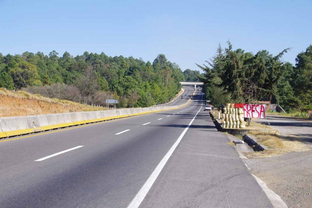
Climbed ~600m and around the top was this vendor on side of the road selling baskets of strawberries.
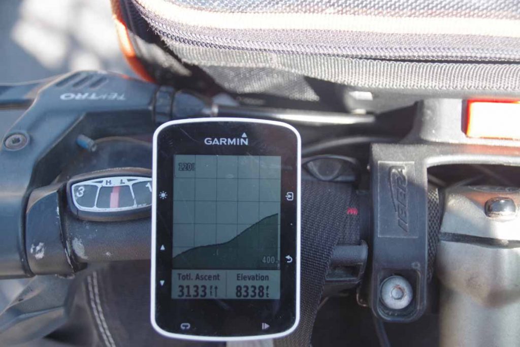
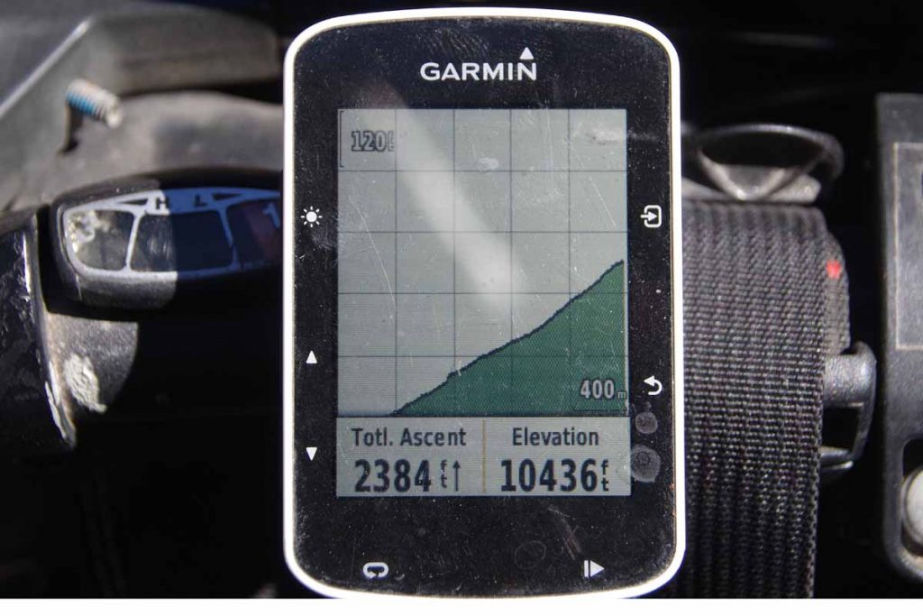
Top of the hill! My cycle computer is set up in a hybrid mode with distances in kilometers but elevations in feet.
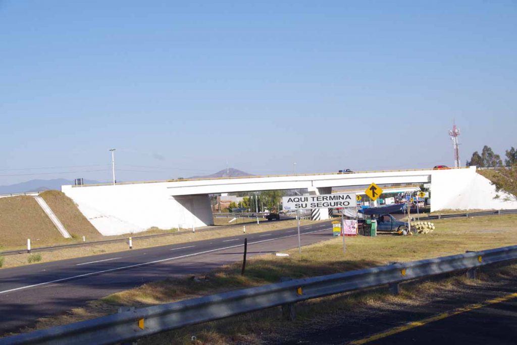
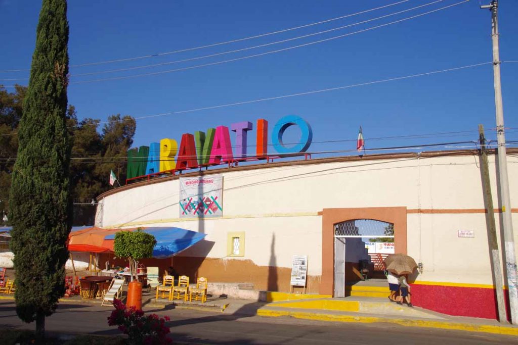
A nice descent again and I found myself at the road exit to Maravatio. Coincidentally whatever extra insurance you had (unless drunk) also stopped here.
As I cycled into town, I felt the rear tire being flat. I cycled a bit and then walked the last little bit to a hotel in center of town. First thing was to get the flat fixed and then shower and walk around town for dinner. Overall a longer 96km ride with a substantial climb at the end, but also pretty riding with a lot of variety.
Day Two
Climbing throughout the day today, though not as far in distance.
I tried waiting a little in the morning to make sure it was getting warmer. Photo above is looking back at Maravatio after getting on the highway.
Today there were a number of sections that also had a frontage road running alongside. You can see the main highway, a small rumble strip, the shoulder and then the frontage road. The frontage road was sometimes unpredictable and looked occasionally rough.
In a few spots there were explicit gaps placed so someone could park a vehicle on side of the cuota and visit a business.
However, in general the cuota usually has a barb-wire fence with white posts on it. From others journals I’ve found a few who try riding these roads and camping and often end up camping at the service stations behind a Pemex gas station or other place with access to bathrooms. Typically they do not go across the fence, since that is most often private property.
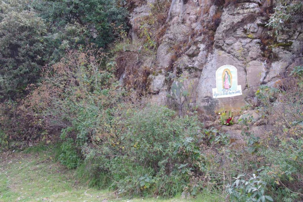
There weren’t too many stopping points today. At one point, I did cross the highway to visit small store only for the other direction. Photo above from one of the climbs with painting of virgin Mary along the way.
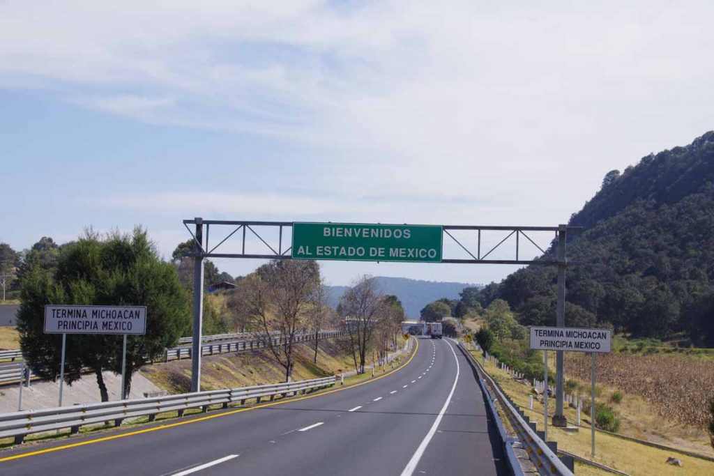
Close to top of one of the hills I exited Michoacan and entered Estado de Mexico or the special state that contains Mexico City.
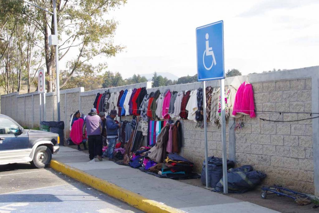
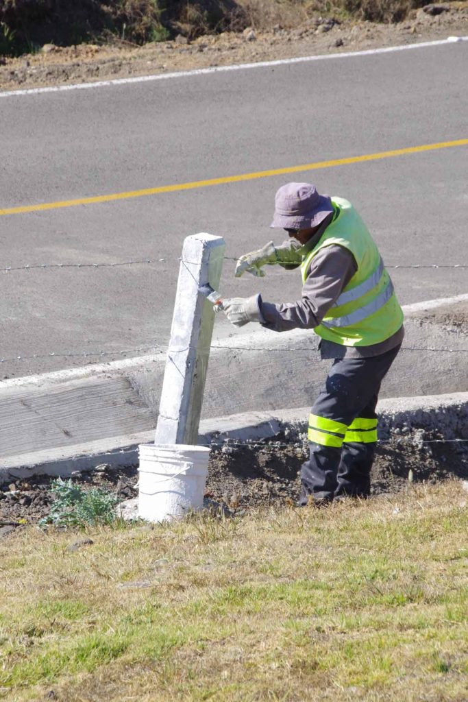
At one of the service areas a local was selling garments. I noticed many of them as well as what I see in Atlacomulco are thicker heavy garments like sweaters.
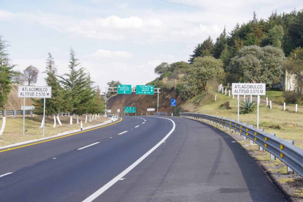
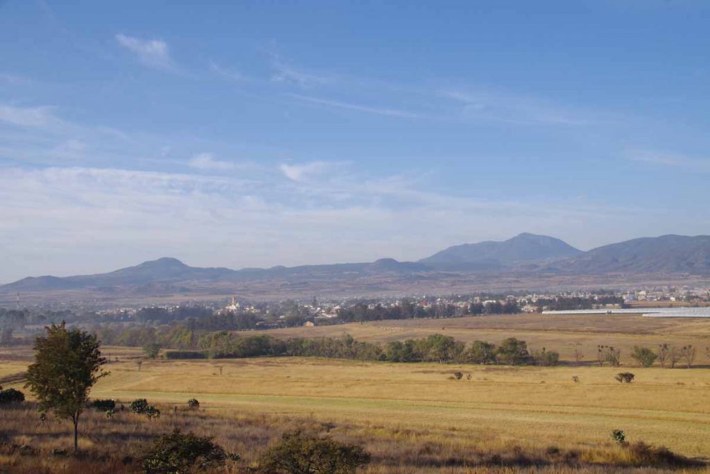
I reached end of the cuota as well as elevation 2570 meters (8400 feet). A few kilometers of busy highway and I was in downtown.
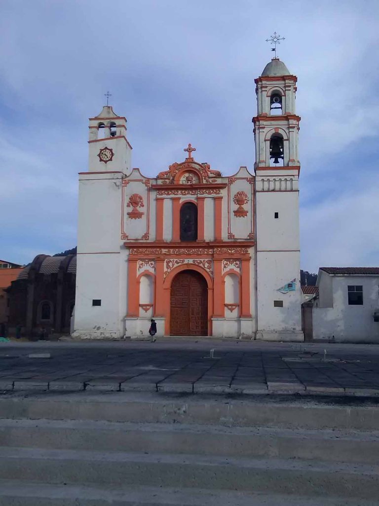
I wandered around town. There is a nice plaza with church.
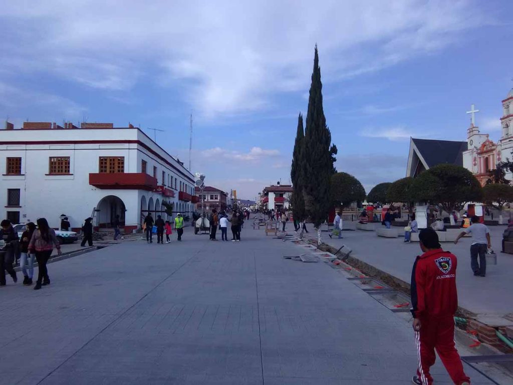
They are busy rebuilding a lot of the plaza.
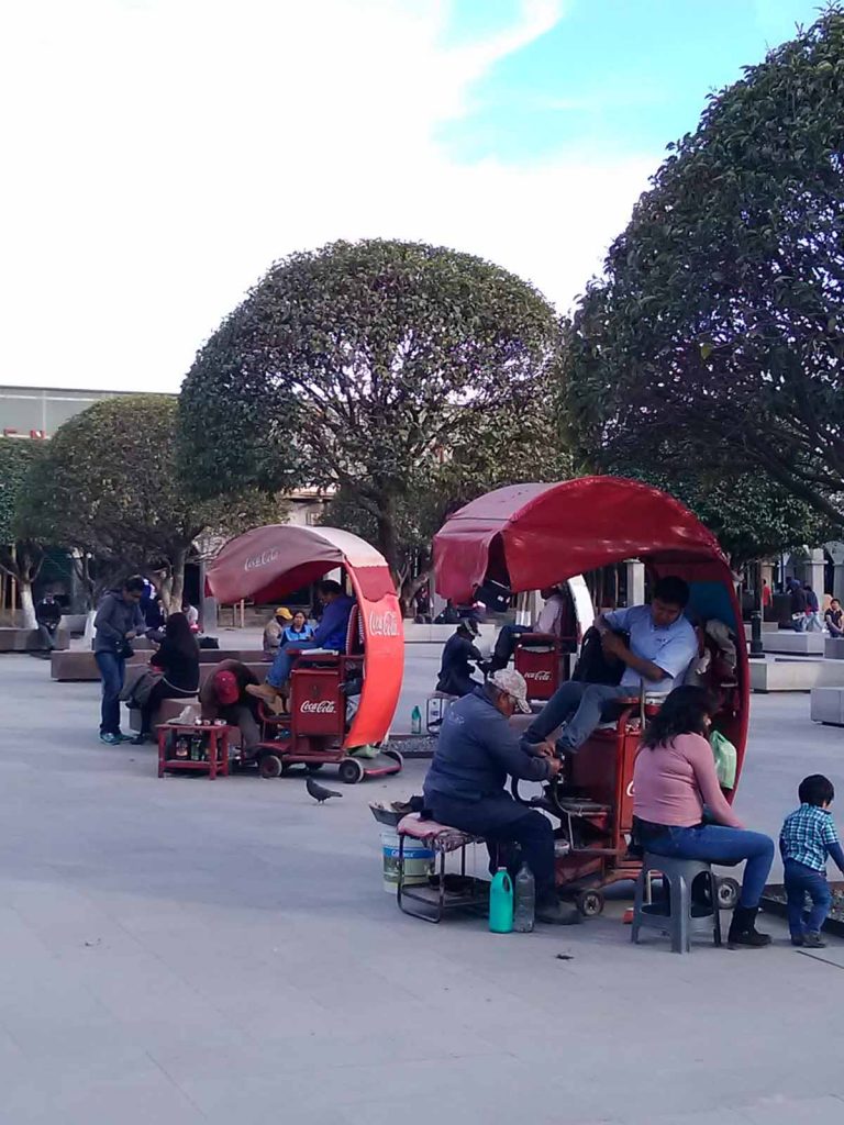
And of course lots of shoe shine vendors here as well.
Morelia
Two days of cycling in Michoacan have brought me to the capital, Morelia. Overall I’ve found Michoacan to be quieter than states before, both in the smaller villages and even in this capital city of 600,000+ people. However, some nice riding with colder mornings and beautiful sunshine.
Day One
A cold start today and a number of slow climbs, but otherwise a pretty ride.
Churintzio was quiet as I left.
My cycle computer told me 1.6C when I entered the cuota and then dropped to 1.2C (34F) a short while later.
However, what made it particularly cold was a sharp north cross wind that I had for first two hours. Just as it would warm a degree or two, I would go around a bend and then it would drop again. However, by 10am it finally started warming up and the wind even died down.
There were at least three long climbs today along with some reasonable descents. In one sense it was a mirror image of the day before with a lot of climbing early and then a flatter finish. I would pass some villages like one in photo above as well as agricultural fields.
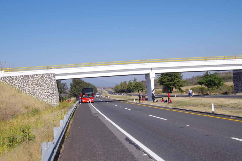
This bus had broken down and while they were working to fix it, some of the passengers had already disembarked to sit on the median area.
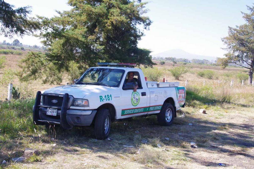
Mexico seems to have these helpful service trucks that ride the major highways and then help in situations such as when the bus broke down. I’ve seen them on the cuota here, but in Baja I also saw them on libre roads.
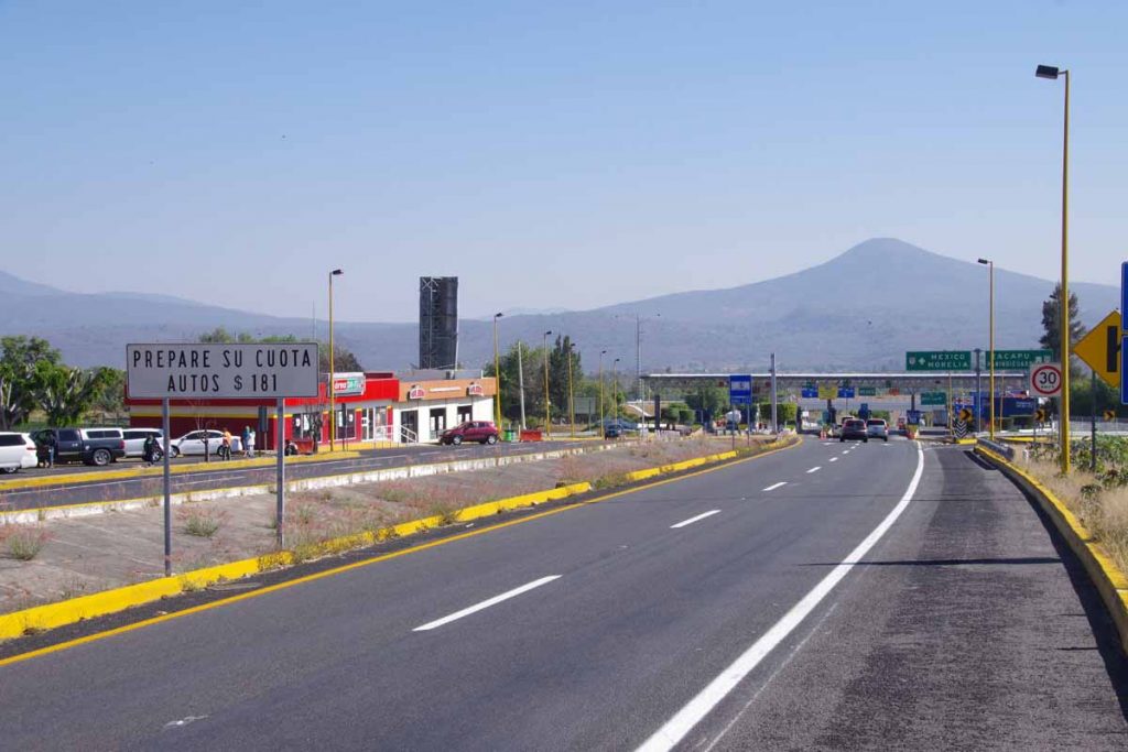
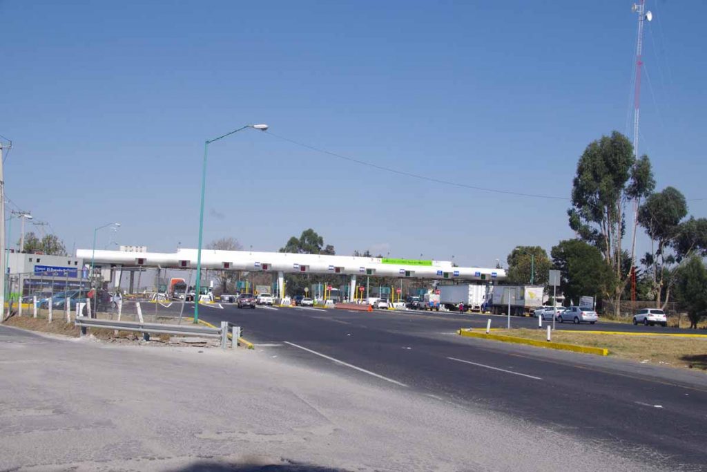
At 41km, I came to this toll plaza. 181 pesos is reasonable cost ($9) and perhaps also why the cuota was not busy at all today. Other than missing towns, as a cyclist one does end up with good shoulders and smooth roads for the most part.
I had lunch at the Subway here as this was only place all day to get food.
After this one remaining longer hill but then surprisingly the road seemed to level off. At 70km, I could see Huanqueo in distance. A previous blog had mentioned a hotel Salony or similar name. I also asked once or twice to confirm there was a hotel and then cycled into town.
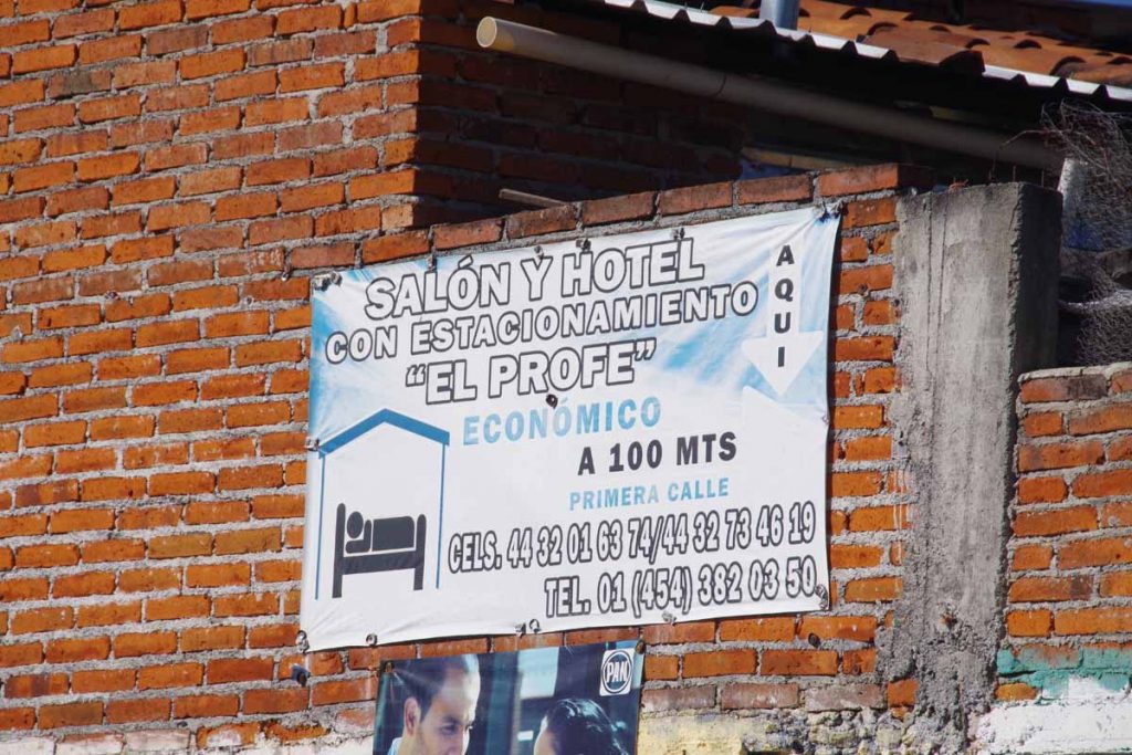
On entrance to town, there was a convenient sign (but it is a salon or hotel named “El Profe”). When I got to the first street, I didn’t immediately see it but asked someone who was able to lead me to the small hotel.
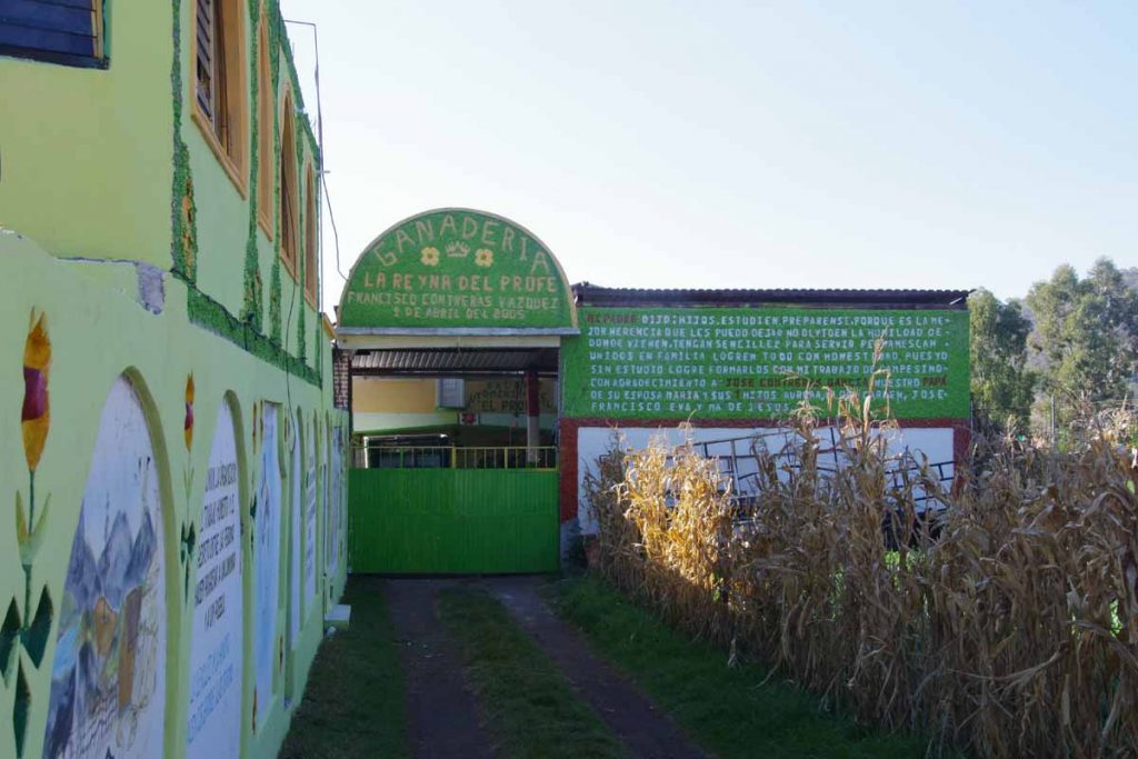
Unfortunately it was closed and nobody was around when I rang the bell. I waited for a bit and then decided to call a phone number I had seen posted. It was a good test of my (minimal) Spanish to understand that they were coming and would be there in 15 minutes.
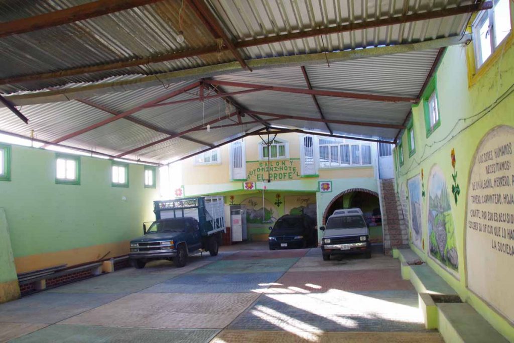
The hotel itself has a big parking bay and then those stairs up to the right that lead to three rooms. I rented one of them. The proprietor is also an elementary school teacher in town and was friendly.
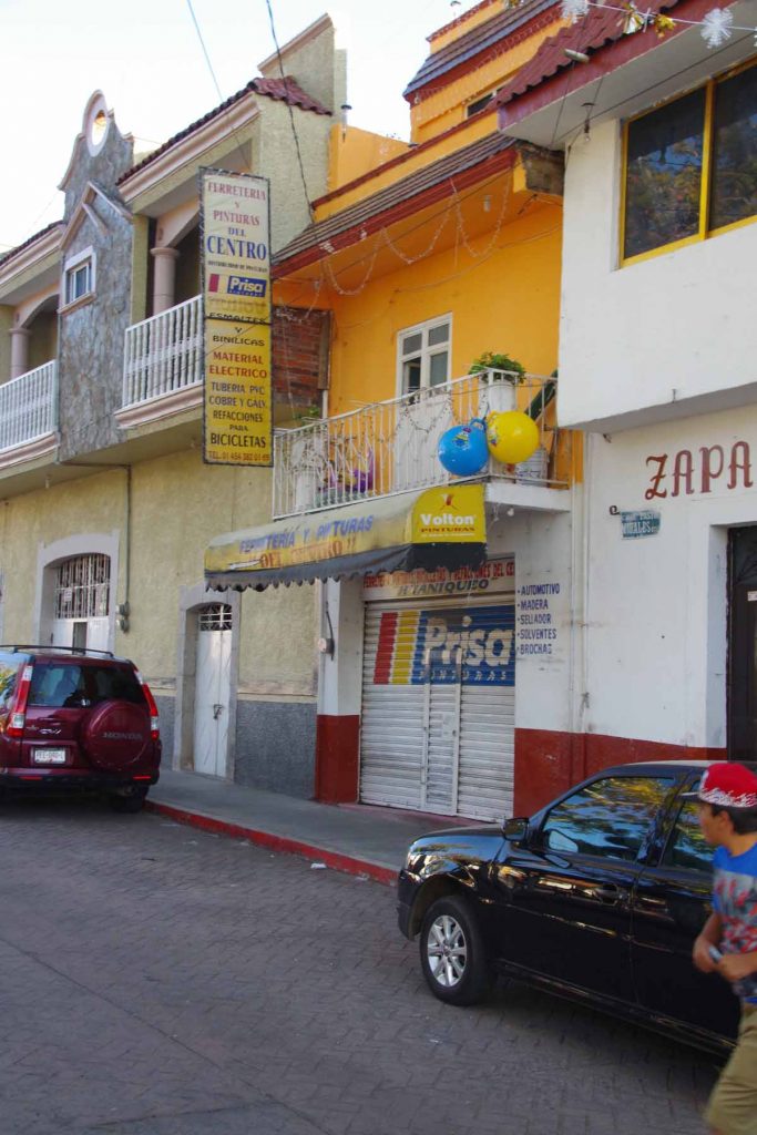
I walked around town but it was mostly closed. Here was shop that sold bicycles and electronics and other stuff.
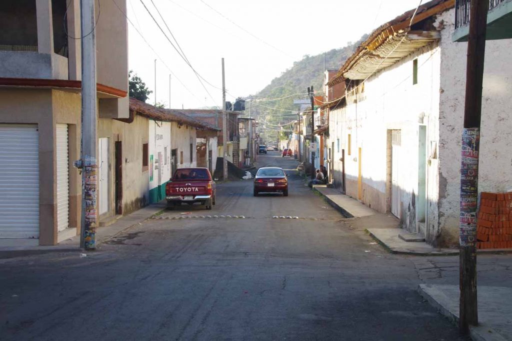
Here was the main street as it headed west out of town. There was a liquor store a little ways down where those folks were, but decided not the best place to hang around.
The main church. As I asked around there really wasn’t any place to get something to eat but understood that restaurants and others would open sometime between seven and eight pm. In the evening some motorists came and rented one of the other rooms. I went into town and now the town square had five or six portable food carts out serving food. Nice chance for dinner. I think the locals were amused to have such an obvious outsider and sometimes even helped with basic language.
Day Two
Today I tried a short cut through the back roads instead of taking the cuota.
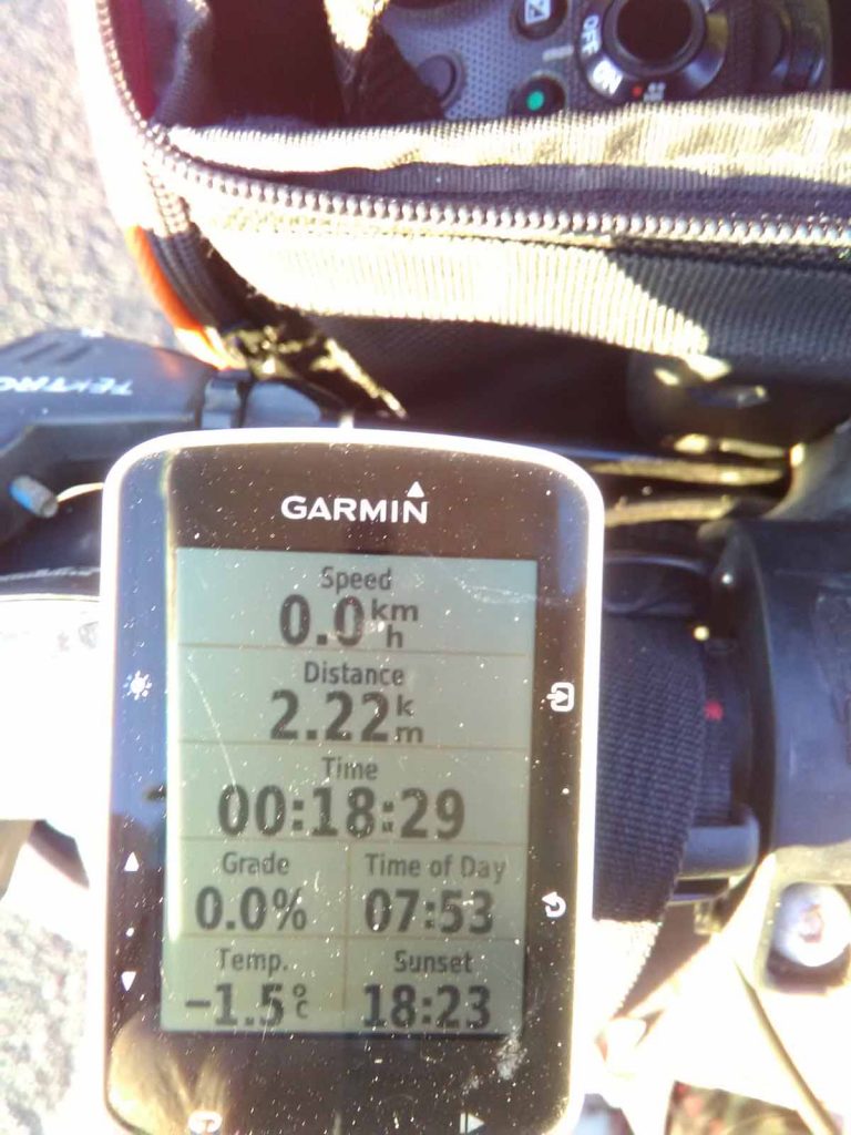
The past several days I’ve taken photo of my cycle computer each day to show how cold it is, and somehow each day has been a bit colder (-1.5C = 29F). Fortunately, no strong biting wind and it warmed fairly quickly as the sun rose. I have noticed that each of the three days after Mazatlan the small hotels didn’t have blankets on the beds and each of the last three nights the hotels had blankets.
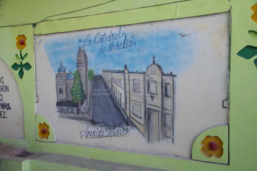
The hotel had several murals out including this one of the Morelia cathedral, my destination for the day.
First I passed under the cuota and then onto a smaller road. This went through a small village which was fun. Many of the locals were out, waiting for a bus and it was clear they didn’t have many touring cyclists come through. They looked at me and I looked at them. Occasionally there was a steep hill or two.
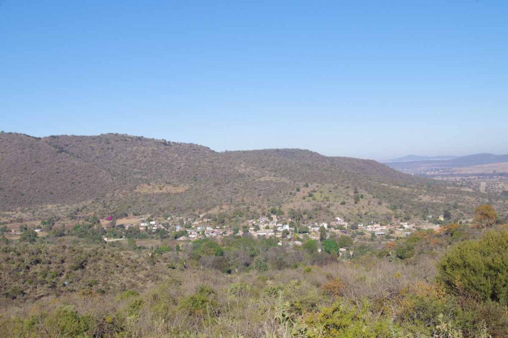
However, at the third village the road turned sharply uphill. My cycle computer had difficulty recording the incline since I was going too slow but I’m guessing short bits of ~11% or so. I walked a few of these. Photo above was looking down on the village after having done most of the climb.
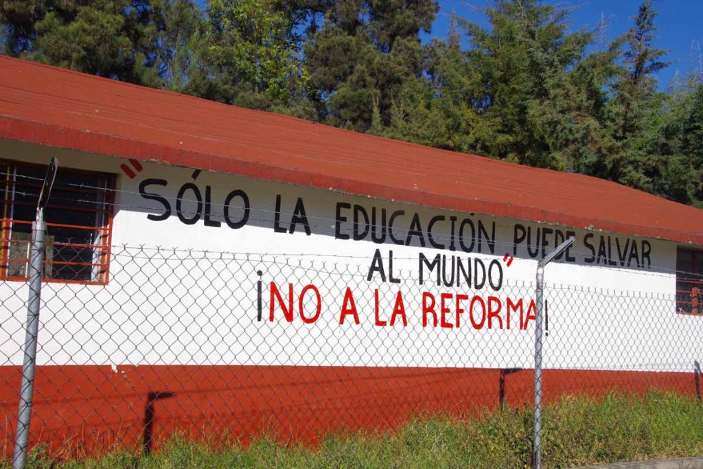
After this it leveled off and came through a second village. I get the “only education can save the world” part of the quote above, but not quite sure what the reforms they are referring to.
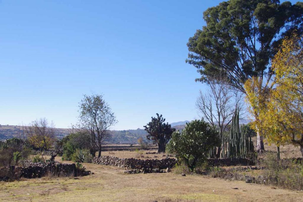
After about 15km, the steepest of the hills were past. Photo above shows items I found common here: (a) stone fences (b) large cactus type trees and otherwise wide open views.
At 37km I found myself back to the main highway 15. It was two lanes with a reasonable shoulder. I also started to see some places to get food.
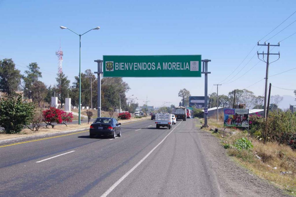
A few kilometers further entrance to Morelia. Here the shoulder of the main road was replaced with a frontage road on each side. These were occasionally bumpy and occasionally blocked with truck and bus traffic, but otherwise surprisingly nice to ride into the city.
Ah, lunch at last! This small shop had an excellent chicken type burger.
After this the last 8km cycling with some of that walking some sidewalks and I was at the main square. Found a place to stay not far away.
Met another touring cyclist on the main square. He had started in Georgia and was slowly winding his way down to Panama.
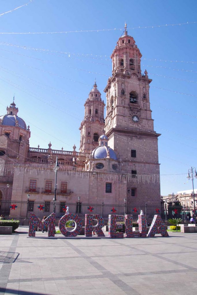
A photo of the main cathedral.
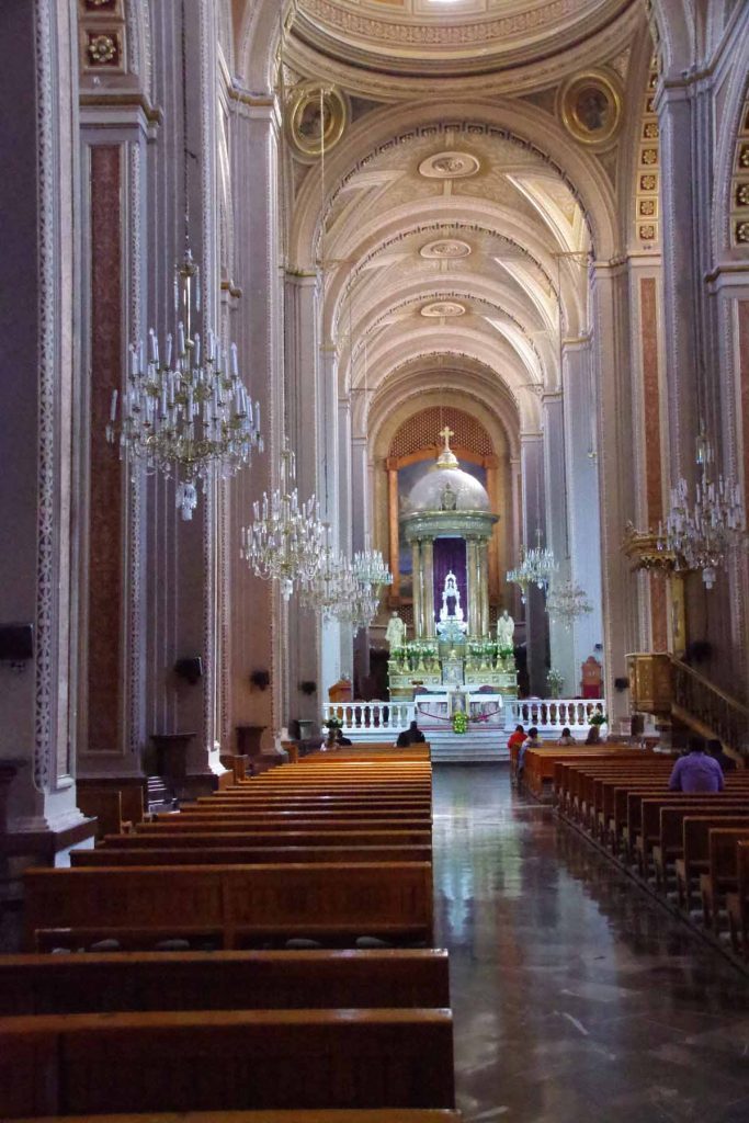
Simple but elegant interior. Nice to get to a somewhat larger city after these smaller towns.
Signed up for a segment of TDA South America
Decided to sign up for the last segment of South American Epic 2017 from TDA. In particular, the 2475km from Puerto Montt to Ushuaia (link). I expect to ride self supported from Cartagena to Puerto Montt and then finish South America with TDA.
Why?
I’ve written before about trade offs of doing a supported tour (e.g. having gear carried and support for mechanical/medical issues) vs. riding self-supported (e.g. ability to ride at your own pace, route and interact more closely with locals). All else being equal, I prefer riding my own self-supported ride at least in countries where the logistics aren’t too difficult.
However, I also figured it would be a nice blend to get at least some riding in with TDA. Given that the TDA ride generally goes faster, if I wanted a fixed end date (December 21st), then it makes the most sense to make the last segment the supported ride. It also turns out that physical logistics in Patagonia for distances/food/wind are up for a good challenge as well. If I were doing my own ride in that section, I might bias towards ruta 40 on the Argentinian side.
What this also provides is a nice “backstop”. Hopefully not, but if for some reason I end up traveling even slower through South America, then might consider trying to join the TDA ride earlier. Also it helps add some certainty about “finishing” my ride by end of 2017.
I have a lot more riding to do through Mexico and Central America first and then need to ride >80% of South America on my own, before doing that last 20% with TDA, so it is still a ways off…but also nice to put a piece or two together along the way.
p.s. For those who don’t know TDA was originally “Tour d’Afrique” but now named “TDA Global Cycling” to more closely reflect their multitude of rides. I’ve enjoyed my past two trips riding with them:
- Riding through China in 2007 on the last part of the inaugural edition of the Silk Route ride.
- Riding across Africa in 2013 on the Tour d’Afrique ride.