↓
 

A bicycle ride across the Americas

from Deadhorse (SCC) to Ushuaia (USH)

  • Home
  • Plan
  • Blog
  • Photos
  • FAQ
    • Why?
    • Where?
    • What next?
  • Map
  • Equipment
  • Calendar
  • Countries
    • USA
      • Alaska
      • Montana
      • Wyoming
      • Colorado
      • New Mexico
      • Arizona
      • California
      • Texas
    • Canada
    • Mexico
    • Guatemala
    • Honduras
    • Nicaragua
    • Costa Rica
    • Panama
    • Colombia
    • Ecuador
    • Peru
    • Bolivia
    • Chile
    • Argentina
  • Weather
  • Links
  • Contact
Home - Page 29 << 1 2 … 27 28 29 30 31 … 33 34 >>

Post navigation

← Older posts
Newer posts →

Seeley Lake, one road

A bicycle ride across the Americas Posted on 2016-08-28 by mev2016-08-28

Cycling instructions were simple today: get on MT 83. Follow it 57 miles to Seeley Lake. Along the way, the first two thirds was a gradual ascent from ~3300ft to ~4300ft following the Swan River and the last third was a gradual descent from ~4300ft to ~4000ft.

Sunrise keeps getting later and breakfast at lodge was 8am so it was almost 9am by time I was on the road.
IMGP3580
I stopped at the general store half a mile down the road since I wasn’t certain how many services I would find in Condon part way. Adventure Cycling maps indicated both a restaurant and a store, but folks at the B&B told me Condon was “mostly trees”.
aIMGP3581
The route did go through a narrow corridor along the trees. While it didn’t give much in terms of views, I was glad because it kept everything cooler and also didn’t need to worry about wind. I expect in WY, I will miss these trees. The route went through the Flathead National Forest and a short bit of Montana Swan Lake Forest. The official GDMBR was on other side of the valley following the gravel roads up and over some low hills, but I was just as happy with my flatter and paved route.
IMGP3582
As I got closer to Condon, I didn’t see much in way of businesses but did notice at least three “we build your log house” businesses and also noticed many churches. Not sure where the houses are that people go to the churches but Condon had a Baptist, Lutheran, Catholic and Community Church. Also a post office and photo above was in front of the museum. Right about noon, I came to Swan Lake Cafe. There were no cars in front, but it was open. They explained to me once church service was over, it would get crowded. So had my burger just slightly ahead of the crowds.
IMGP3584
After Condon there were one or two places the views opened up as the road gradually continued to climb. The GDMBR briefly came to 83 and for 1.6 miles as it crossed from right side of the valley to the left.
IMGP3585
At 40 miles, I came to the Lolo National Forest sign which marked the top of the divide between Swan River and Clearwater River. By now it was 85F (30C). Also here was nice lookout over Summit Lake.
IMGP3586
The last 17 miles slowly went along several lakes and then into resort community of Seeley Lake. Otherwise a reasonable and not too difficult day. I think this next photo is about gasoline and not about pizza.
IMGP3587
Now sorting out exactly what direction I follow from here. Most likely staying on paved roads to Helena and I’m told GDMBR near Helena and Butte is some of the more difficult bits, so I’ll probably be on pavement there.

Posted in Montana, USA

Swan Lake, cruising the Flathead Valley

A bicycle ride across the Americas Posted on 2016-08-27 by mev2016-08-27

IMGP3573
Today a somewhat easier and flatter day mostly on pavement. While all but the last ~12 miles were part of the GDMBR, expect this to be part of several days mostly on pavement paralleling the route rather than riding all the gravel roads. Fixed my flat tire and otherwise set up for leisurely departure from Whitefish.

Last night I visited with Tim Travis. Starting in 2002, Tim spent over a decade bicycle touring and living on the road with his bicycle. His first two years were on year in Mexico and Central America followed by one year in South America. I was familiar with Tim from following his web site from early days and otherwise on the web – and also recently re-read his first two books – and also believe Tim used my Australia web site to help plan his travels there. It was fun catching up.
IMGP3574
The first eleven miles today were on the GDMBR through back roads to Columbia Falls. I had made arrangements to meet my sister-in-law, Natalie, there for an early lunch. It was fun connecting there as well.

After lunch, I headed south and had intermittent south winds (headwinds) for rest of the day – though not as bad as I had feared when I heard of the 20-30mph SSW forecast. This area was a mix of agricultural as well as some forest with vacation homes (or perhaps permanent from people who live in resort-like setting). There was also some hay and some cattle.
IMGP3575
These cows were friendly and curious and I didn’t even have to “moo” to get them to come over.
IMGP3576
I met my group of Great Divide riders for the day on this segment as well. They initially came past me, but I was able to pass them later. They were doing a segment of the divide this year from Whitefish MT to Lima MT and had support drivers along and hence the light loads. Despite the lightly loaded bikes, I was just as fast on the flats and eventually left them behind when they stopped for lunch.

I took one stretch on “206” to avoid a few miles of gravel, but otherwise took the official route including a 2.3 mile section of gravel. It was reasonable cycling – through with my later start and lunch stop, I was a little later than normal. Stopped at 44 miles in Ferndale at gas station for bite to eat and then rode the last 12 miles to a nice B&B lodge on Swan Lake.
IMGP3577
Photo above is of Swan Lake and here I had left the GDMBR as it goes on other side of the lake on gravel roads that go up and down some of the hills. Supposed to be reasonable riding, though I figured I’d make some progress following the paved roads on this side. Apparently, upcoming sections near Helena and Butte I’ve got some recommendations to consider skipping the roughest bits there.
IMGP3578
There is photo of the lodge, where also had dinner and plan breakfast tomorrow before setting off. The lodge had some friendly cocker spaniels several of which had “don’t feed me” signs around their collars.

Posted in Montana, USA | Tagged flat terrain, other cyclists

Whitefish, over to the North Fork and back

A bicycle ride across the Americas Posted on 2016-08-26 by mev2016-08-26

I chased a bear. Not on purpose of course. On the first day of three, I had just crested the Whitefish Divide and was carefully navigating my bike along a rocky downhill road. All the sudden as I looked up, saw a galloping black bear ahead, running away. He must have been along the road, heard me coming and then decided to bolt. Not sure what else to do, I continued cycling after him (but letting him safely get away) and from then until rest of the day, I made extra noise rounding corners.
IMGP3538
It was a three day, ~90 mile ride primarily on gravel. This time I followed the guide book directions of where to stop. Overall, it was three not extremely difficult days, through some rugged terrain. Riding started simple enough starting from Eureka. At the motel this morning were at least three riders. Chris (who you’ll see later), myself and Scott one of the Scottish riders. Scott and his other rider (David) I had met before Elkford and they had decided they had different goals – so David forged ahead and Scott was going to make an easy pavement ride to Whitefish, catch a train and spend his US holiday other than on the divide.
Day One
The route went for a mile along US 93 before turning to the back roads. Once again, some nice pretty and paved routes, though also with a few short hills. After 9 miles back to US 93 and then at 10.8 miles the real adventure started.
IMGP3539
Above is the photo of Graves Creek Road. Started paved and reasonable grade.
IMGP3540
Quite a few deer in this area.
IMGP3545
The road slowly followed the creek uphill. In total there would be ~2000 ft of climb before reaching the summit.
IMGP3549
After ten miles, the pavement ended and it became a good quality gravel road. Notice they even bothered to occasionally trim the worst of the trees overlapping the road, so can’t be so rugged yet.
IMGP3550
Chris who had been in motel this morning, also came past. Chris is from Oberlin, OH area and had ridden the southern half of the Great Divide last year and was riding other bits this year. He cautioned the NM section was particularly challenging as water was not always found even at the infrequent locations shown on the map. (The more I hear of NM section, more I suspect I’ll be on paved roads and not GDMBR by then).
IMGP3551
After a few miles of good gravel, the road steepened and much bigger climbing began. I decided to walk the last two miles to top of Whitefish Divide. On the way down is where I encountered the bear mentioned above (sorry no photos, both myself and bear were excited enough).
aIMGP3553
From the top, mostly descent of 5.6 miles and there was Tochuck Campground. While it was still early afternoon, I decided to stop partially since I’d decided to follow the guidebook and partially since there wasn’t an immediately obvious campground close, particularly one with bear containers.

Later that evening another GDMBR cyclist came through. She was a young woman who was probably slower than me, but with a lot of drive. Only cyclist I had met so far that didn’t take the Fernie alternative.
Day Two
IMGP3554
It was cold overnight. My little thermometer above was still above freezing, but my bike computer recorded -2.7C (27F). Campground was hidden in the trees and I mostly got breakfast before sun really reached down.
IMGP3555
A fairly common breakfast is ramen noodles, tuna and oatmeal (not together).

From here I followed the road downhill for 9 miles. Slowly it became less rocky which was nice. At the bottom, the road intersected with the North Fork road.
IMGP3558
This road was wider, but at least as rough. Also surprising how much “No Trespassing” signs as well as private cabins were found here. In hindsight I was glad I’d stayed in the campground since not clear it would be easy to just camp beside the road without being on private property.
IMGP3561
At the 18 mile mark, the climb started up Red Meadow road. This would be ~1500ft spread over a dozen miles. Both the road surface and the climb were surprisingly nice. Except for the last two miles, I could just go into lower gear and slowly pedal my way up.
IMGP3562
These berries were found along the way.

Again, it was early afternoon, but decided to follow the guidebook again. It got cloudy and briefly rained on two occasions. Otherwise, it was nice camping near Red Meadow Lake. They also had bear containers here.
IMGP3564
In the evening it rained again.
Day Three
Cold morning. There was ice on the tent and ice on the picnic table.
IMGP3566
Some mist coming up from the lake shortly before sunrise. I thought I might wait until the sun came down the mountain.
IMGP3567
However, even though the sun hit the highest peaks close to sunrise, nearly two hours later it still hadn’t gotten to the campground, so finally gave up and packed in an icy tent. Definitely has me cautious about too much camping at elevation.

My bike computer recorded -1.7C (29F) even at 9am when I started, so expect it was a few degrees colder before then. My sleeping bag is warm enough but still a bit chilly to ride early in the morning. The initial descent was rocky again most of the first 5.6 miles to Upper Whitefish Lake. After that it got better and was predominantly downhill.

At 22 miles I came to pavement again.
IMGP3570
Hooray! However, a few shorter little hills to climb along Whitefish Lake and I was in middle of downtown. Now some errands to take care of:

  • Glacier Cyclery replaced my pedals. Best guess is the horrible racket heard before Eureka was one of the bearings falling apart. Still have slow leak in back tire, but will figure this out tomorrow before departure.
  • Went to post office to pick up a SIM card I had let Amazon send “General Delivery”. Unfortunately, when the sender uses UPS, that doesn’t seem to work and UPS bounces it back as “invalid address”. Only cost me $1 to try and Safeway nearby had the same SIM card kits
  • Connected with few people I know in the area and made arrangements to meet up.

Overall, I’m glad I did this three day out and back over the Whitefish Divide as well as tried to follow the guidebook list of three easy days. From here, I’m considering doing a bit more main highway rather than GDMBR, though I’m also told the immediate next bits are not that difficult.

Posted in Montana, USA | Tagged bear, rocky road

Eureka, Montana!

A bicycle ride across the Americas Posted on 2016-08-23 by mev2016-08-23

Back in the USA.
aIMGP3534
Today another day of pavement cycling that was mostly flat and brought me across the border back to the USA. The “Fernie Alternative” followed gravel roads on east side of the Elk River, but I stayed on Route 3 on the west. The road was moderately busy but had a good shoulder. I also saw other cyclists (three going my way, two going the other way) along this stretch as well. Seems like others don’t always buy the “Canada” map and then guidebooks don’t describe the Fernie alternative.
IMGP3527
Just outside Fernie I passed signed for the resort. Apparently, the peak season is still winter but summer is picking up as well.
IMGP3529
A little while later there was a tunnel with lights to indicate bicycles in the tunnel. I didn’t see any explicit button to press so perhaps it detected automatically. I did find a spot later that where the “wildlife detection” system with flashing lights and picture of a deer started to go off when I cycled past.
IMGP3530
At 18 miles was Elko and a mile later was road 93 to the border. This road was much quieter. Something in my drive train started making a bunch of crackling noises. A bit concerning as I tried to figure it out. Eventually not long after I crossed the US border it stopped. My best guess was some of the bearings in my right pedal, but will likely check this in Whitefish when I get there.
IMGP3531
This road continued flat, though there was one good hill both up and down to cross the Elk River. A little past 1pm, I came to the US customs and immigration station. Entry was very simple. They asked where I lived, how long I had been in Canada and if I had food with me. I pointed out my freeze dried meal bag and also an apple. However, no citrus and they were happy.

I had a late lunch at the Duty Free place on US side. There was also one on the Canadian side and not quite sure if they sell the same things or different.
IMGP3536
After this just nine miles of quiet country cycling brought me to Eureka. Along the way the noise in my drive train fixed itself. Found a motel and then the forest service office (for maps) and then grocery store to stock up. I wasn’t quite able to get a working US SIM card yet, so no phone along the way. Wifi also a bit spotty. Plan is to take three days and follow the back roads over to Whitefish.

On the Canada page I have updated a table with all the distances and climbs for the last seven weeks I’ve spent in Canada. There is similar on the Alaska page. Overall totals for Canada were 3215km and 25,972m of climb. You can also find links to Strava to see profiles for individual days of riding.

Posted in Montana, USA | Tagged border crossing, pedal

Fernie, pavement and headwinds

A bicycle ride across the Americas Posted on 2016-08-22 by mev2016-08-22

IMGP3515
Easy ride today as I mostly followed the major roads from Elkford to Fernie. Approximately 75% of my miles today were on GDMBR, initially on the primary route and later on the “Fernie Alternative”. My guidebook describes the Fernie Alternative as “The Alternate, which was the original and one-and-only route until 2010, is about 40 miles shorter than the new main route and much tamer. Riding the alternative is more like bicycle touring, while tackling the main route is akin to real mountain biking”. Seemed like a reasonable choice for me.

I took a short cut from Elkford, riding past the mining equipment above and then down the main highway. This met up with the original route after 10 miles, slicing off 8 miles from that route. It was a nice, fairly quite road with good shoulders.
IMGP3516
After another two miles, I followed the route on secondary road past the airport. This was a quiet little back road that came past ranches and rural acreages. It was great riding. Before I knew it, had reached 22 mile mark and was in Sparwood.
IMGP3517
Sparwood is a mining town. Below are two photos of the giant truck found near the visitor center.
aIMGP3519
IMGP3520
I dallied here for a bit and got an early lunch. In the meantime, the SSW winds (headwinds) picked up and were now perhaps 30km/h (20 mph). Route three out of town was busier but fortunately also had reasonable shoulders. Part way along was a second of road construction where they were paving the new route. Cars were held up for 20-30 minutes but I cycled up along the queue and not long after I came to front, we could go. After that there were multiple miles of grooved pavement.
IMGP3523
Fortunately, another quiet little road to travel along before reaching Fernie. Stopped in visitor center and also at shops on way in.
IMGP3524
My shoes had been falling apart. I could glue them together and attach with duct tape, but was time to buy new shoes. When I bought the shoes, the clerk remarked that it was “very Canadian” of me to have taped together the shoes. Not sure if that is a complement or not.

Found motel at 42 miles near downtown Fernie. Overall, the winds were sometimes strong, but otherwise an easy day with mostly flat or slightly downhill as well as not too much distance. Fernie itself has a nice downtown.
IMGP3526
Where I also found someone had created crocheted bench covers near the library.
IMGP3525
Interesting idea. Tomorrow I’ll probably do a mostly “bike touring” day and ride along the major roads to reach the US border.

Posted in British Columbia, Canada | Tagged bike touring, crocheted bench covers, new shoes

Elkford, starting the GDMBR

A bicycle ride across the Americas Posted on 2016-08-21 by mev2016-08-21

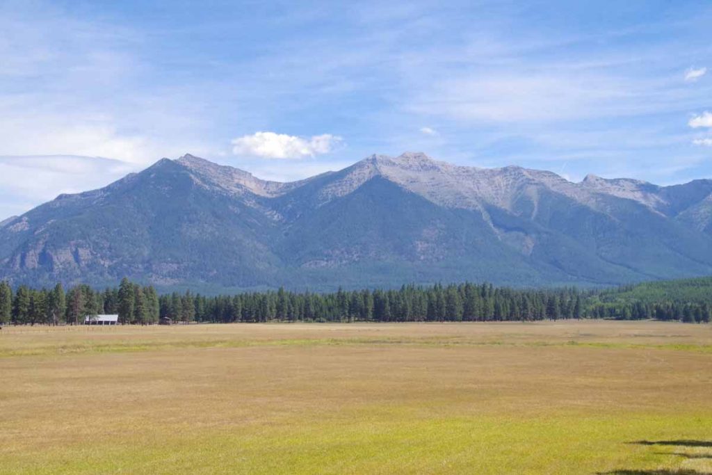
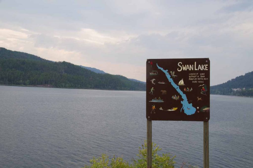
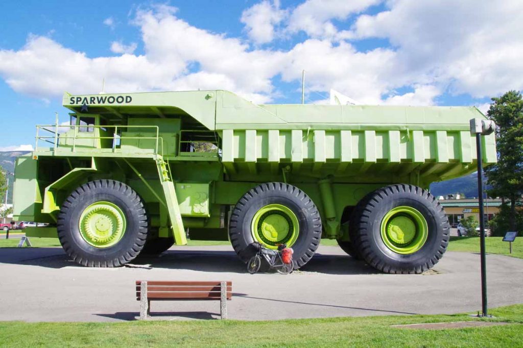
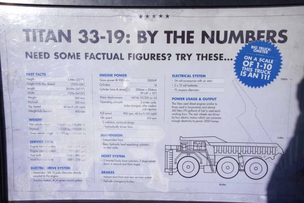
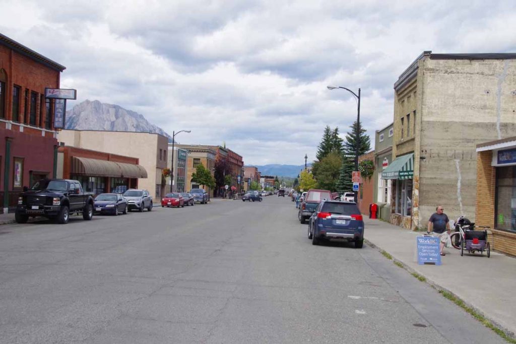
One tough day, one fun day and one easy day have brought me 110 miles further to Elkford, BC. It was a good introduction to the Great Divide Mountain Bike Route (GDMBR) and I can see that I’ll do a hybrid approach, riding GDMBR sometimes and paved roads other times.
IMGP3492
Day One
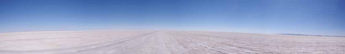
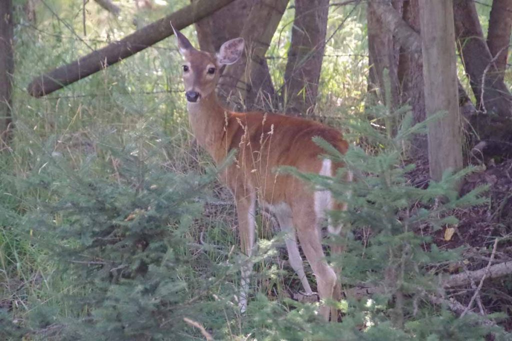
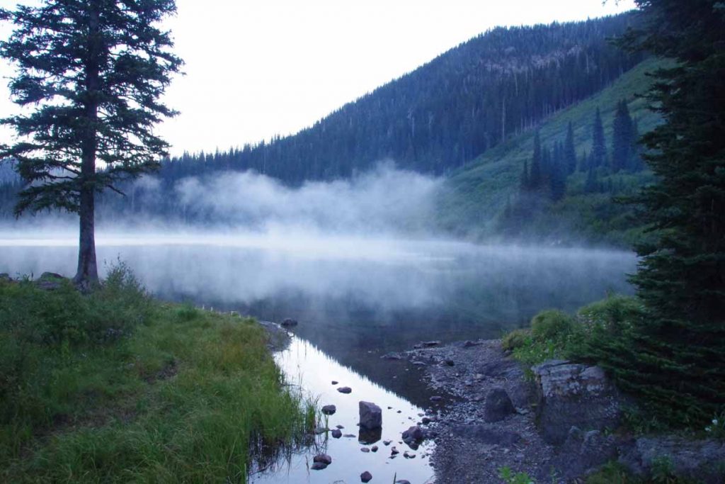
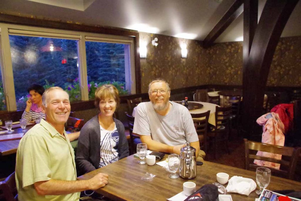
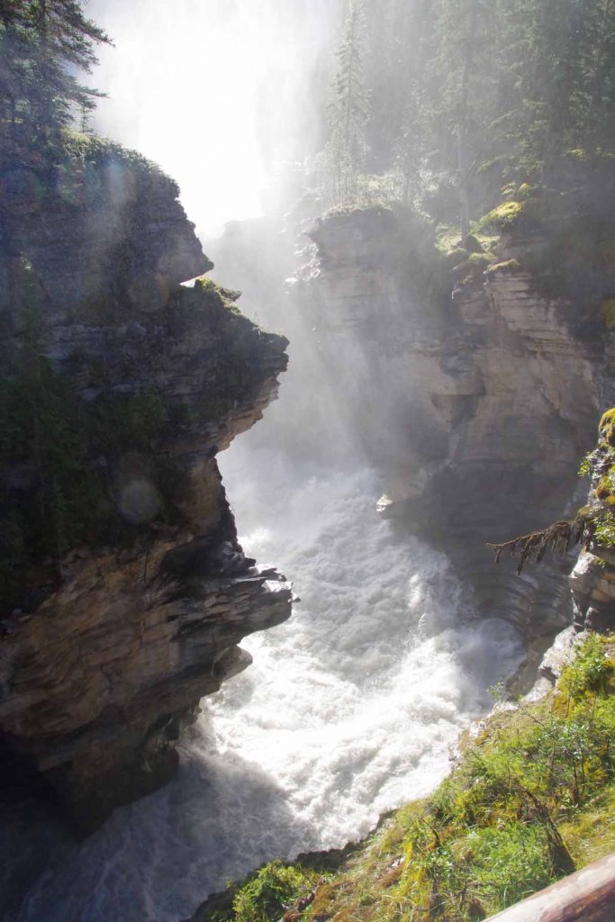
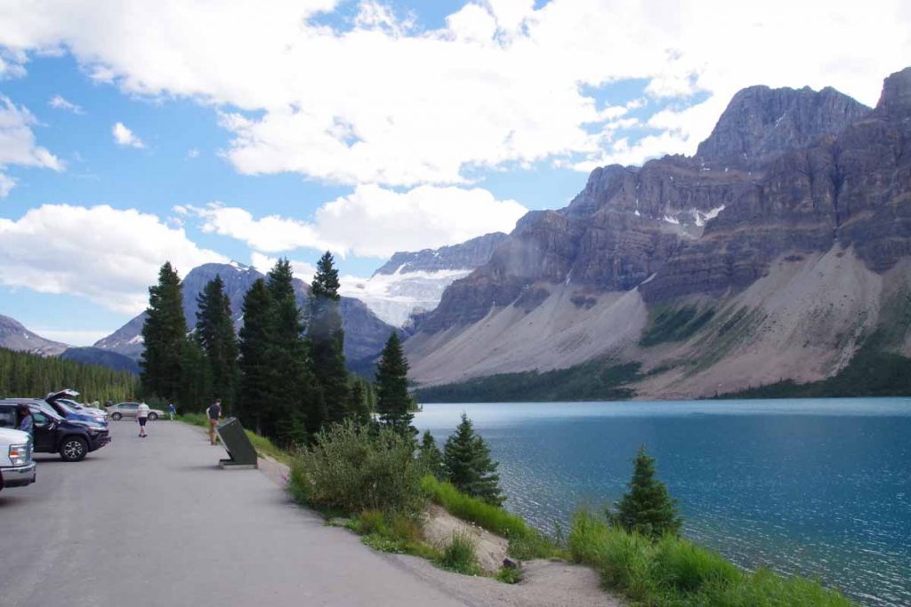
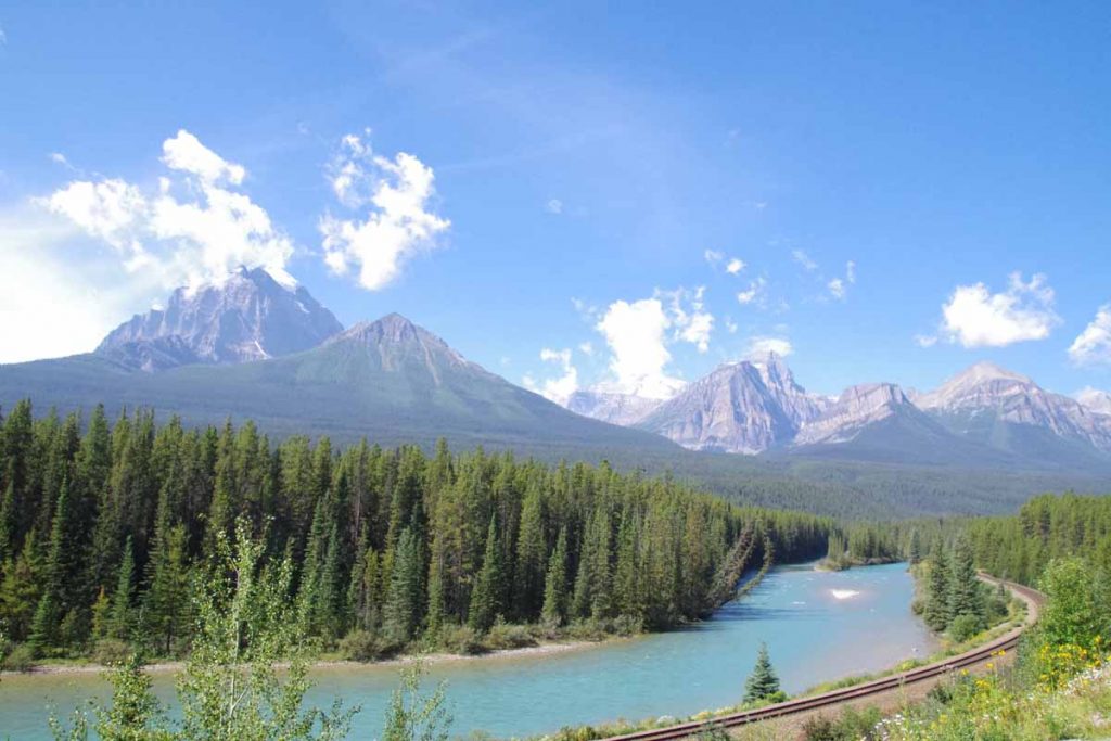
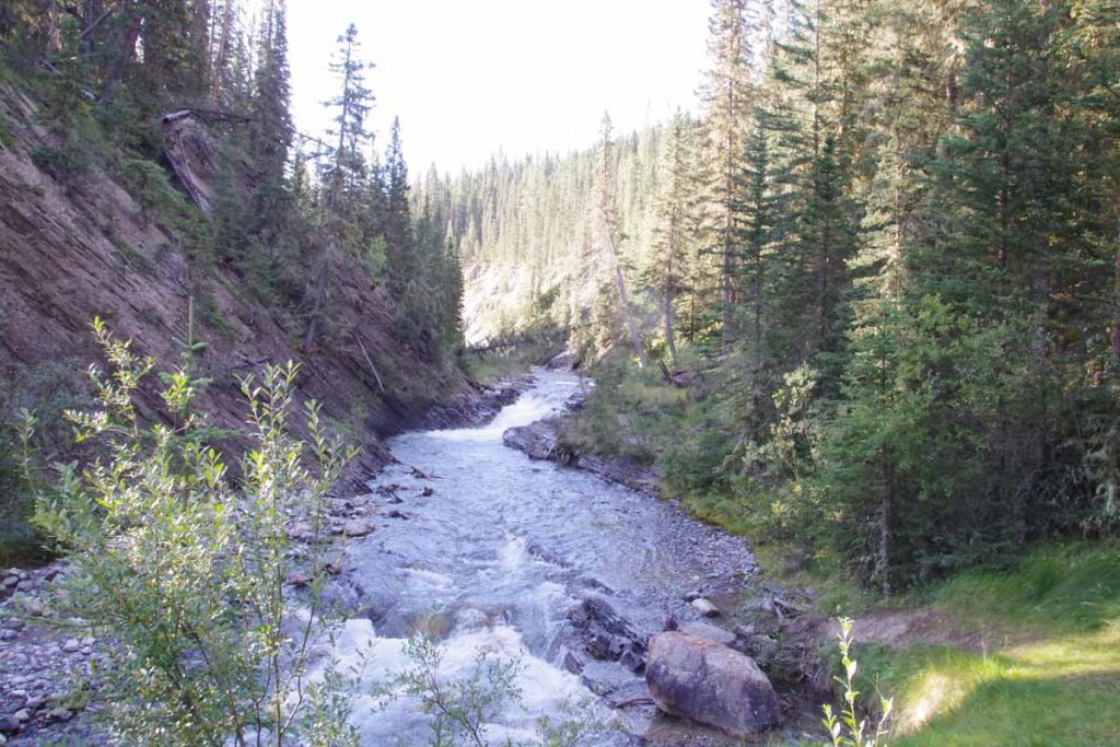
First day started with a lot of enthusiasm. I had breakfast in the hotel as was at the trailhead shortly after 8am. The temperature was cold, my cycle computer said -1C (30F) but I cycling hard made it feel less cold and it soon warmed up as well. I stopped at start of the Spray River trail and took first snap photo above. Wayne and Trish joined me for the first half of the day, which was fun. I left the trailhead ~45 minutes before they did, but they caught up even before I had finished the 11km of the Spray River Trail. It was somewhat flat, but even one or two slight hills to climb.
IMGP3494
Crossed a few bridges and then more climbing at Goat River Trail.

It did seem like I was going surprisingly slow. I chalked that up to at least three things (a) overall there was more climbing than descent (b) I was just a bit slow on those uphills, carrying my gear (c) I switched over from km to miles. That last one definitely influenced my outlook since I was used to my cycle computer saying “40” or “50” by time I got to lunch and now it seemed much less. I had used km elsewhere in Canada since that was all the road signs, etc but now my GDMBR guide books and similar were all in miles.

At 11.5 miles, we stayed on the trail rather than going to (dusty) Smith-Dorien Spray Road. Overall a better choice, though the trail had some climbing and I had to stop once or twice when my heel was kicking my right pannier into my spokes. Seemed like I was dragging a bit here. We made it ~17.5 miles together and then had lunch.
IMGP3499
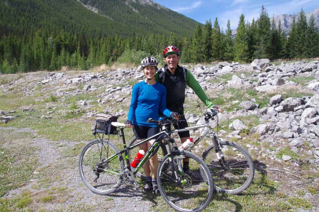
Overall, definitely fun cycling with Wayne and Trish on this first bit to start.
IMGP3496
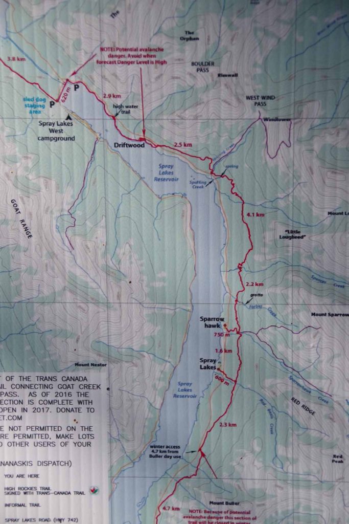
After lunch I had a choice of three routes

  • The red line on map above was a new trail that went East of the Spray Lakes Reservoir. We had hoped to get to starting this trail, but were too slow to get to it before lunch. It would be shorter and fun trail, but I was a concerned about trying a new trail even Wayne and Trish hadn’t done yet
  • Also on East side was Smith-Dorien Spray road, the main road. Most likely the flattest route and a reasonable fallback if the new trail proved too difficult. The drawback here is a large amount of dust on the road.
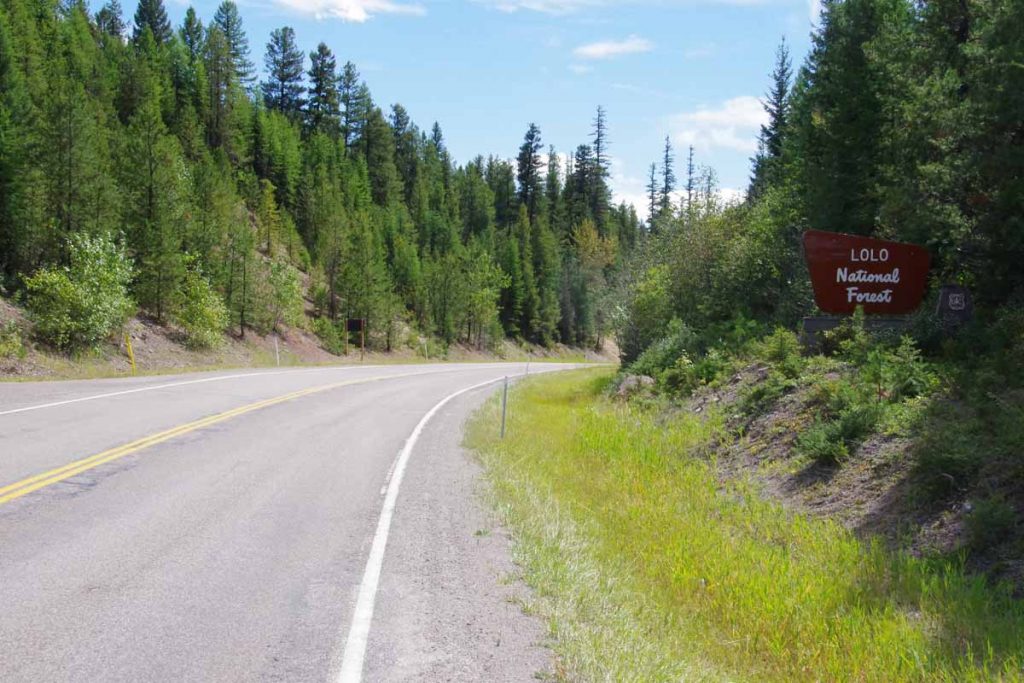
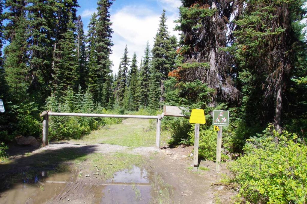
  • On the West side was the official route. It started on a small gravel road and then after a gate was trail on top of old road bed.

In the end I decided to stay on official route. While it was a little longer, and wasn’t was interesting as the new trail – I figured I’d try keeping with current route first.
IMGP3500
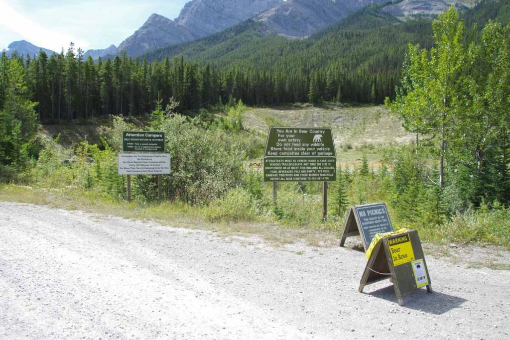
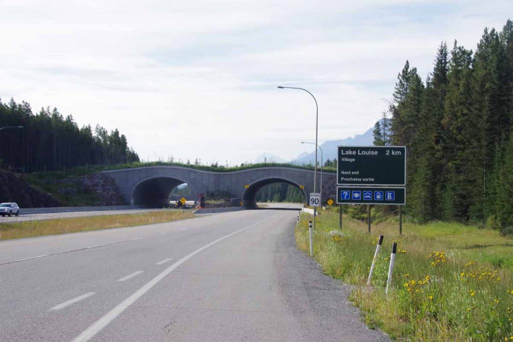
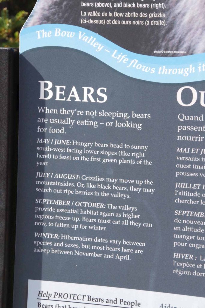
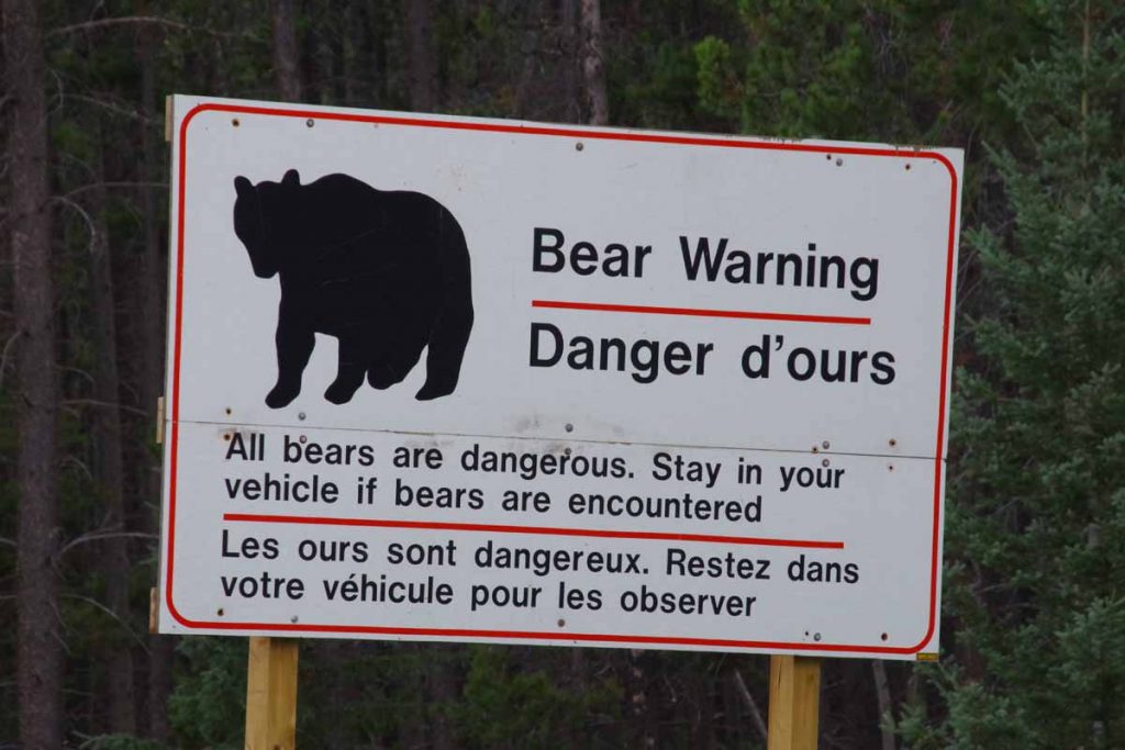
Several more warnings about bears here. After this a number of campground sites along the road.
IMGP3501
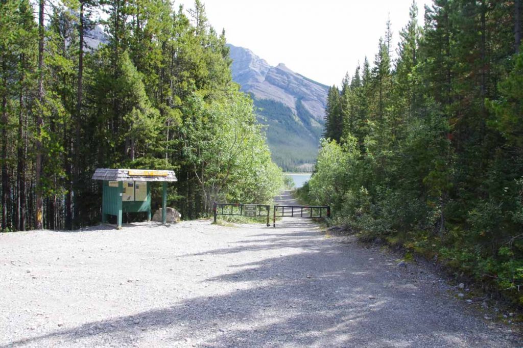
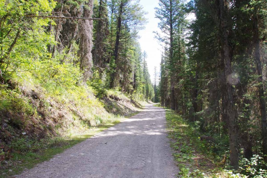
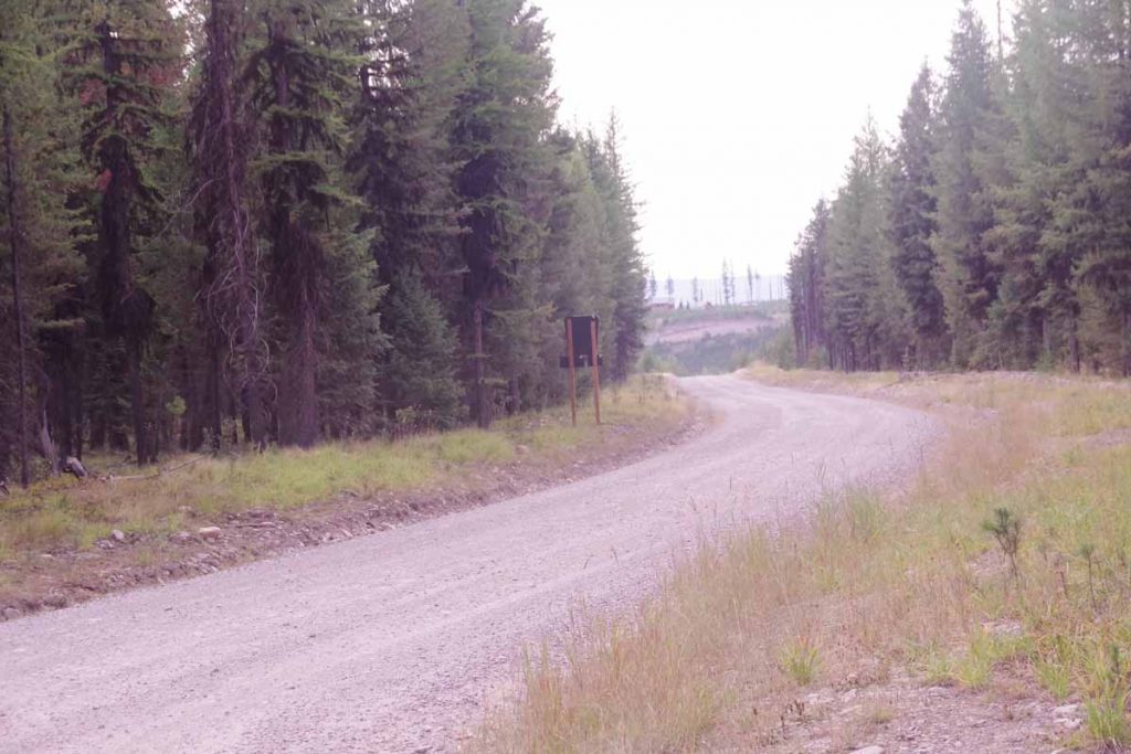
A little past 20 miles we had a gate and the road turned to trail. I have a “Cycling the Great Divide” guidebook which suggests stopping for the first day just past this gate and camping. Seemed to early and I pressed on.

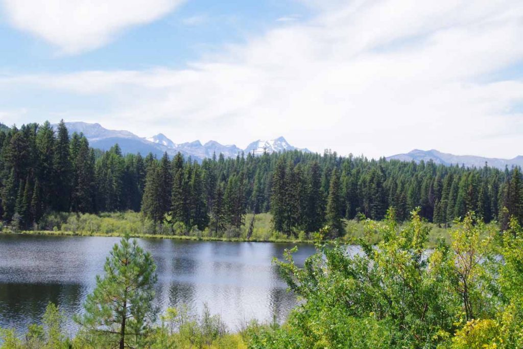
The next section was not too difficult trail riding slowly around the lake. I crossed the dam and then a bit more hiking around including a steep 0.75 miles where I pushed my bike up the hill. That brought me to a hiking/camping area named for Mount Shark. When I got to the parking lot I was tired, but figured the hardest was done. Little did I know the gravel road climbed from here. It climbed and then climbed a bit more.

Finally it was almost 5pm when I got near to the top. I saw several “No Camping” signs and considered my options. There was a nice little stream nearby and I could see a spot where I could mostly duck behind the first row of trees. I decided to stop here. Only 38.4 miles but pretty tired for the day. I had a new water filter but it turned out defective so drank the water anyways.

Overall the day was tougher than I expected. There was an overall climb of ~1600ft which probably helped and a fair amount of trail riding which is still somewhat new. I did think it was fortunate that I didn’t have a trailer since that would have made it even slower.
Day Two
Today my primary goal was to climb over Elk Pass and camp somewhere on the British Columbia side.
IMGP3503
Early morning in my semi-hidden campsite before heading down the hill. It was again right at 0C (32F) but going down the hill I switched to new “lobster claw” mittens that put two pairs of fingers together. At bottom of the hill was Mount Engadine Lodge. I saw two people packing up a tent, yelled out – they were also Great Divide riders who I would meet later.

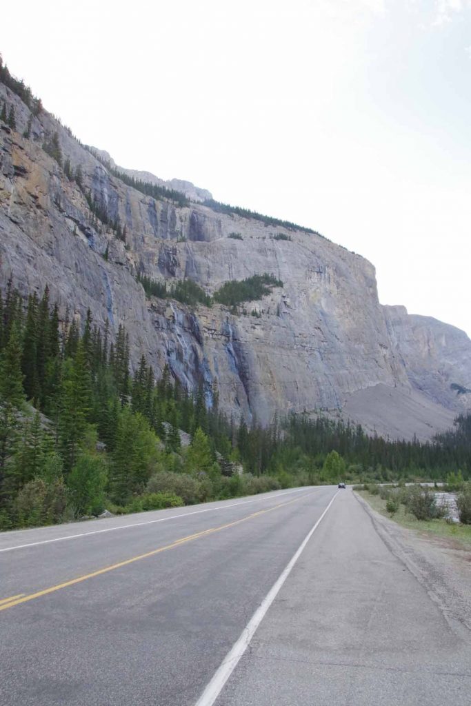
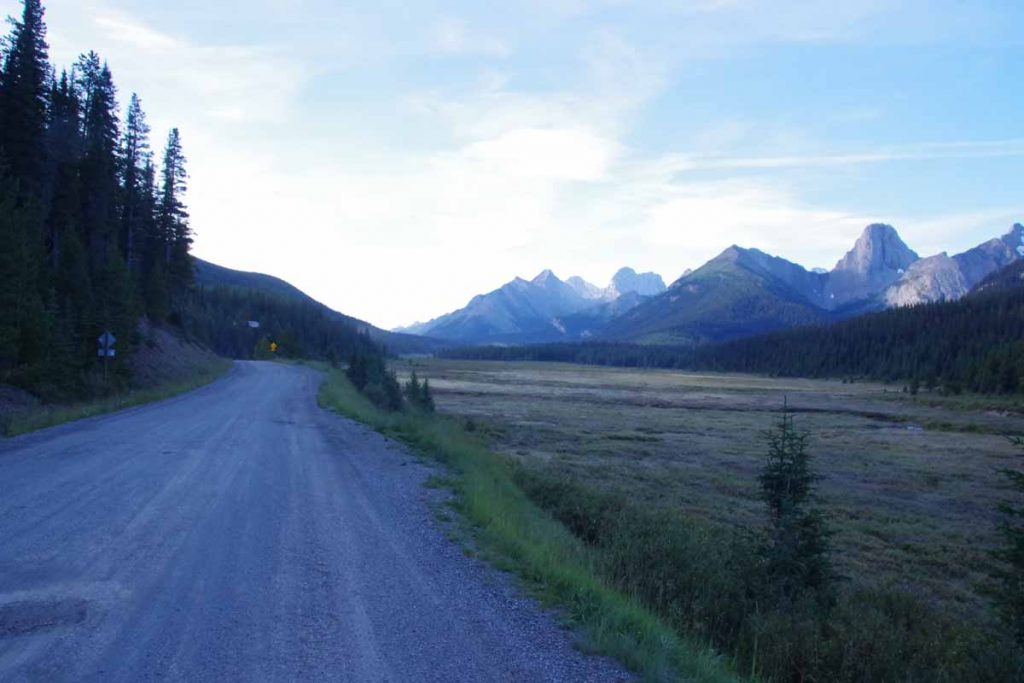
The main gravel road was faster than the trails from day before and miles accumulated a bit faster. However, every time a car would go by it would kick up a bunch of dust which would take time to settle. There were a surprising number of cars and all except one were going in opposite direction. I passed several trailheads, picnic sites and a lot more “no camping” signs.

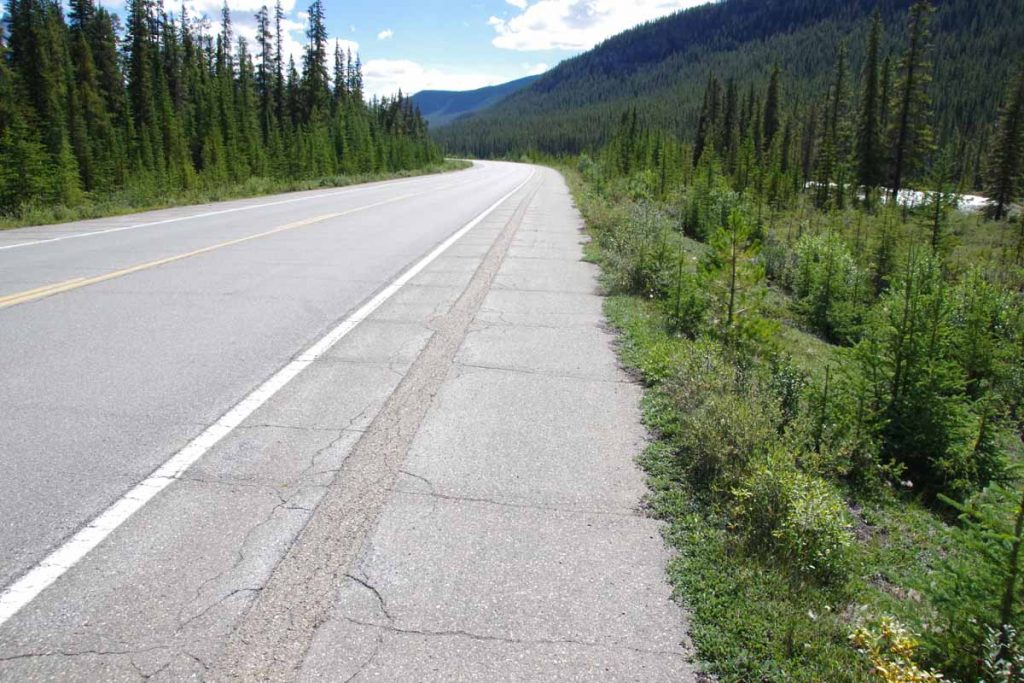
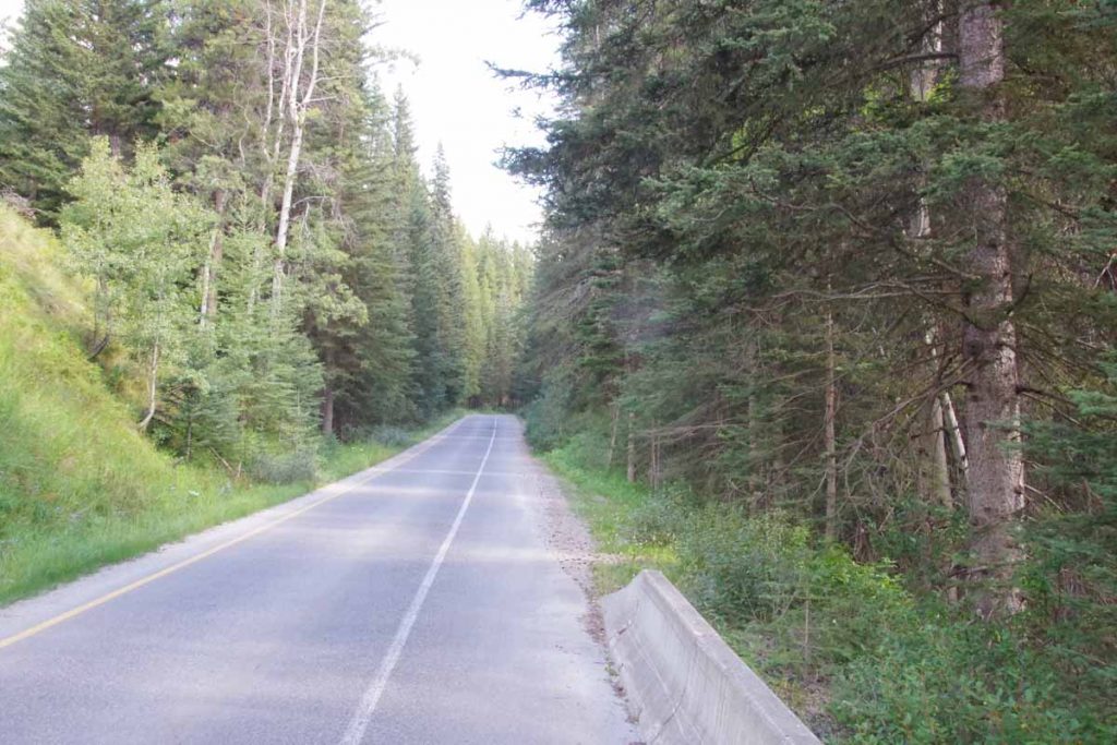
At 17 miles I came to main road as well as pavement. Wow! That made some difference. After a mile a sign for paved bike path.
IMGP3505
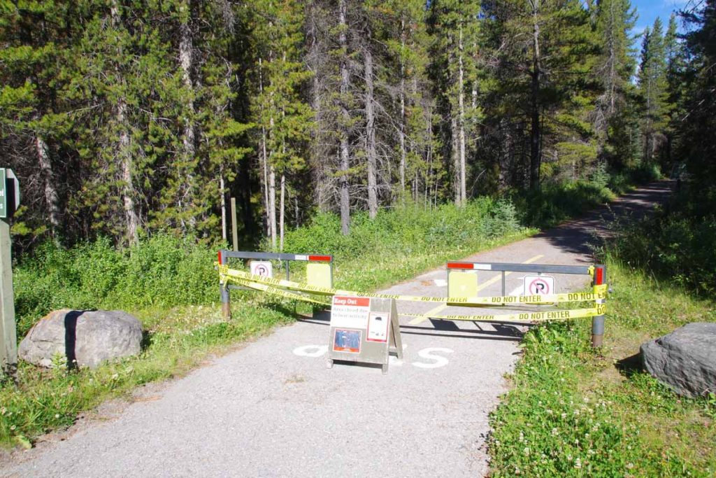
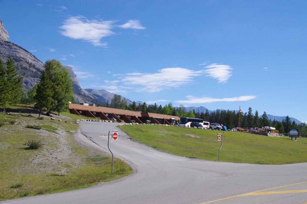
However it was closed due to bear activity. At 23 miles I came to Boulton Creek Trading Post. This was designated as a last chance to buy things before heading out again. I found some water purifying tablets and also decided to get some bear spray.

Bear spray is classified as a firearm in Canada and I had to sign a short declaration with name and address. The declaration essentially indicated that my purpose in using the bear spray was for bears and not for people.
IMGP3506
One mile later was start of trailhead over Elk Pass. I decided to try an experiment this time. The entire distance over Elk Pass was only 3.5 miles uphill and 2.7 miles downhill or 6.2 miles (10km) total. Rather than bike it, I decided to hike it with my bike for the distance. That worked fairly well. On the uphill stretch my bike computer had one hill listed at 18% grade and on downhill one listed at 14% grade. Otherwise it wasn’t too difficult of a hike and a bit more relaxed.
IMGP3507
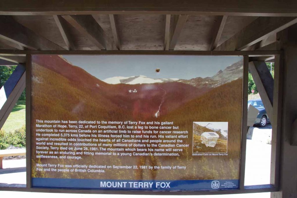
The top was marked with this gate and signs (looking back) to Peter Lougheed Provincial Park. This is first Atlantic/Pacific crossing on the GDMBR as well as first one on my trip so far. I’ve had other crossings so far but for example, I figured out that from McBride Yellowhead Pass was Pacific/Arctic and Sunwapta Pass was Arctic/Atlantic.
IMGP3508
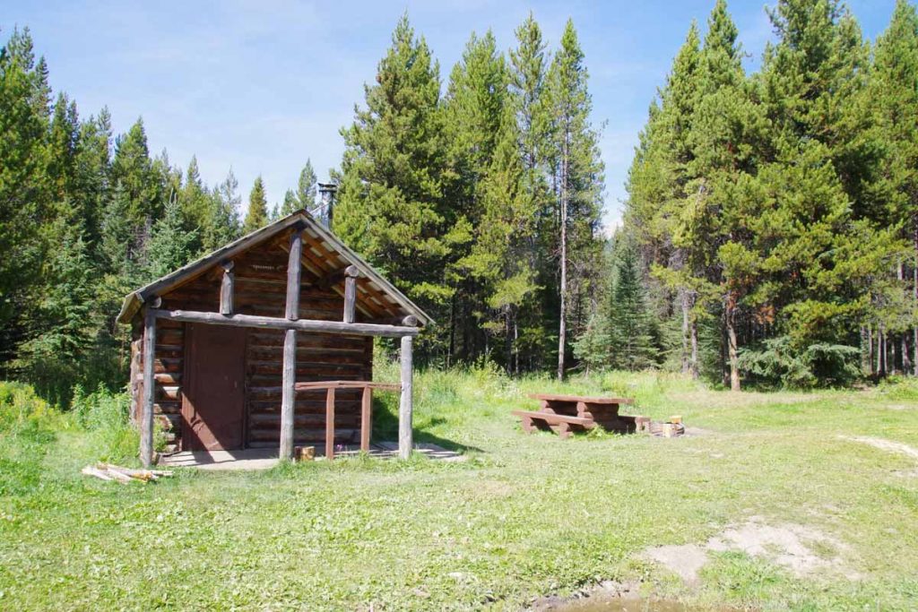
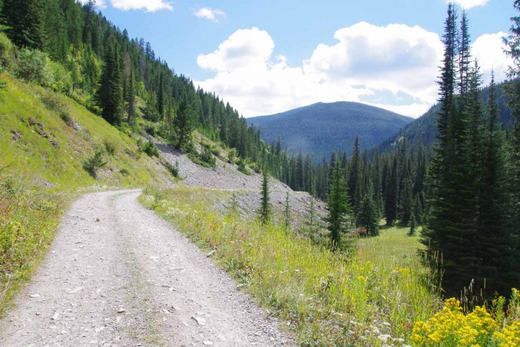
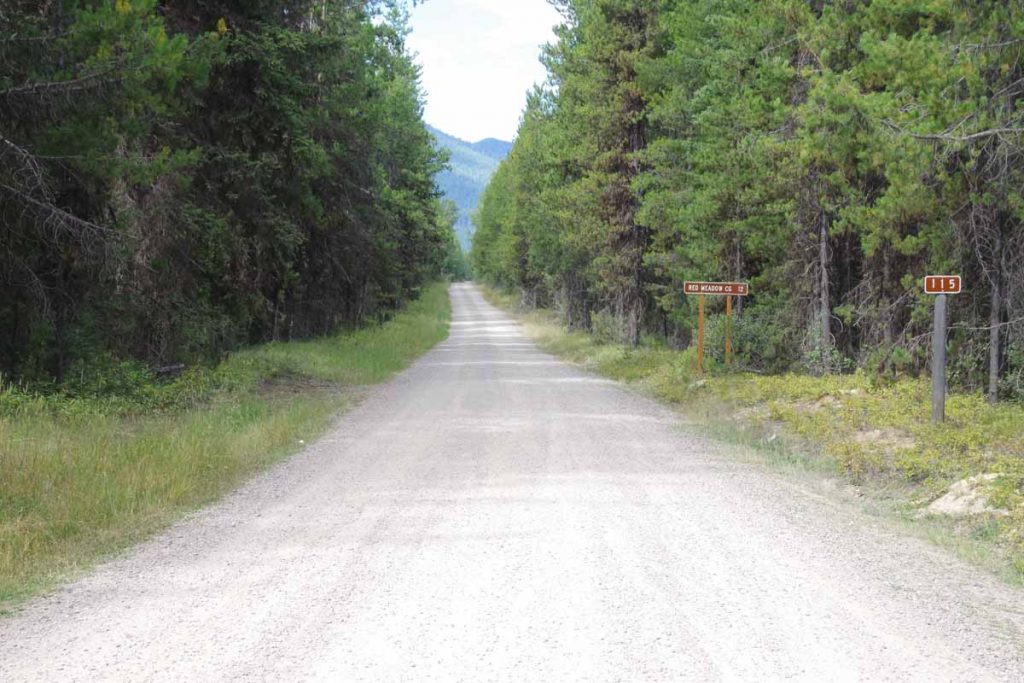
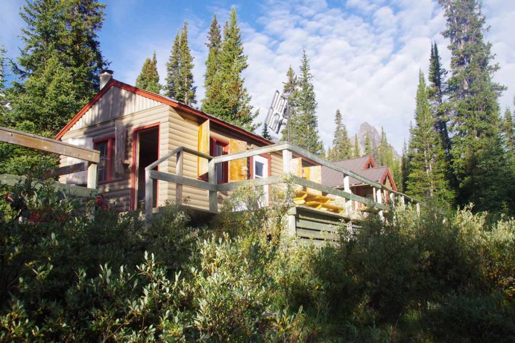
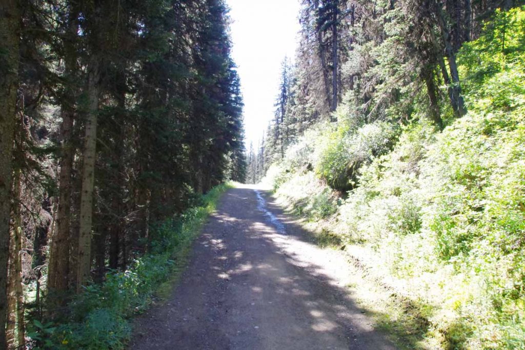
At the trailhead was a gravel Elk River Road. I followed this for another 14 miles. The predominant direction was down, but there were also uphill pieces. The stones made the road rough at times but overall reasonable cycling. There were several “recreation sites” along the way including this one at Tobermory with a cabin. Approximately 10 miles after Tobermory I came to a small site named “Weary River” and finished the day at mile marker 81.6.

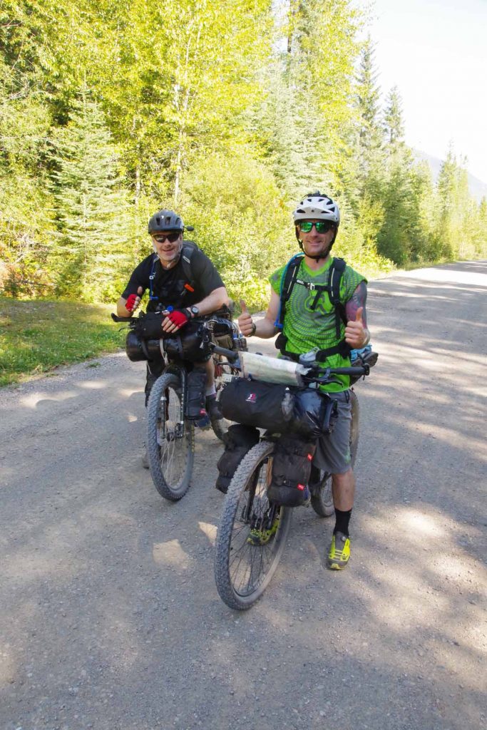
Overall, found the second day fun and not quite as exhausting as the first. Walking the pass helped and overall terrain was probably a bit easier with not as much climbing. A little after I set up camp, two cycle tourists arrived. I had seen them this morning packing up from Mount Engadine as I cycled past in first mile. Both from Scotland and somewhat more aggressive timetable than myself and also traveling a bit faster. Unfortunately, they had received a ticket for camping the previous night.
Day Three
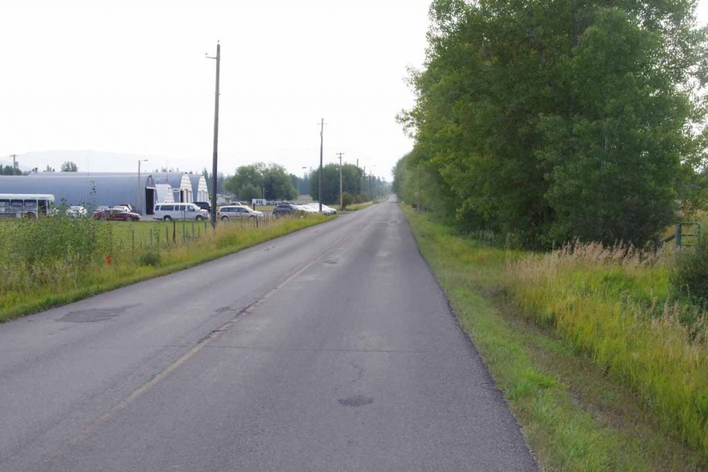
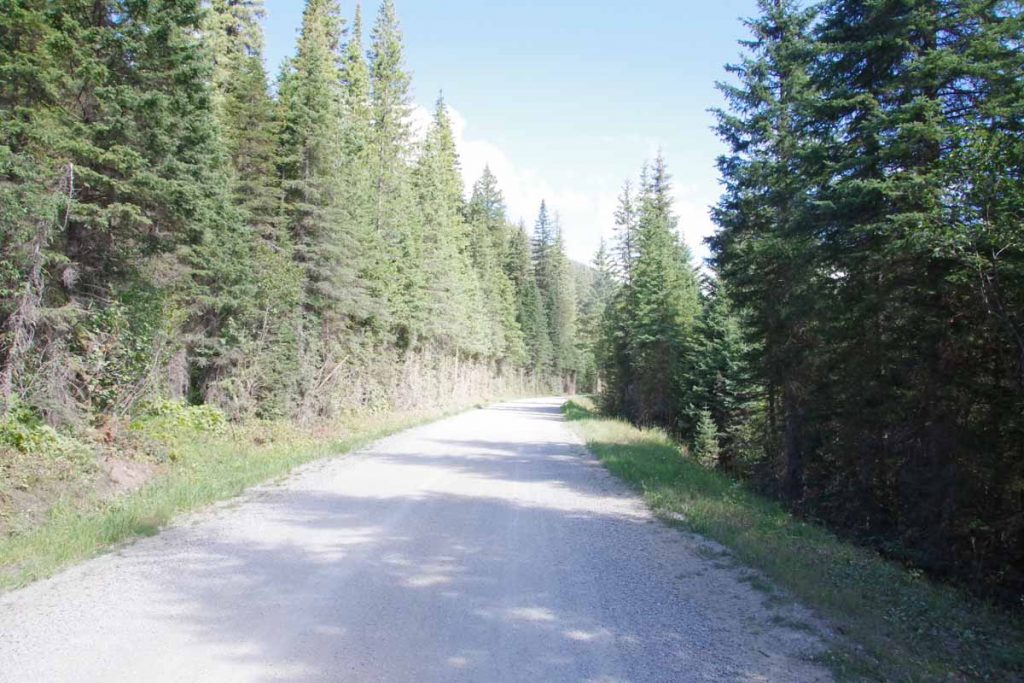
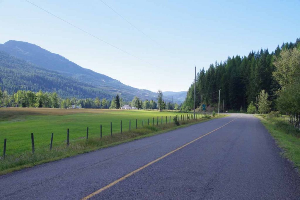
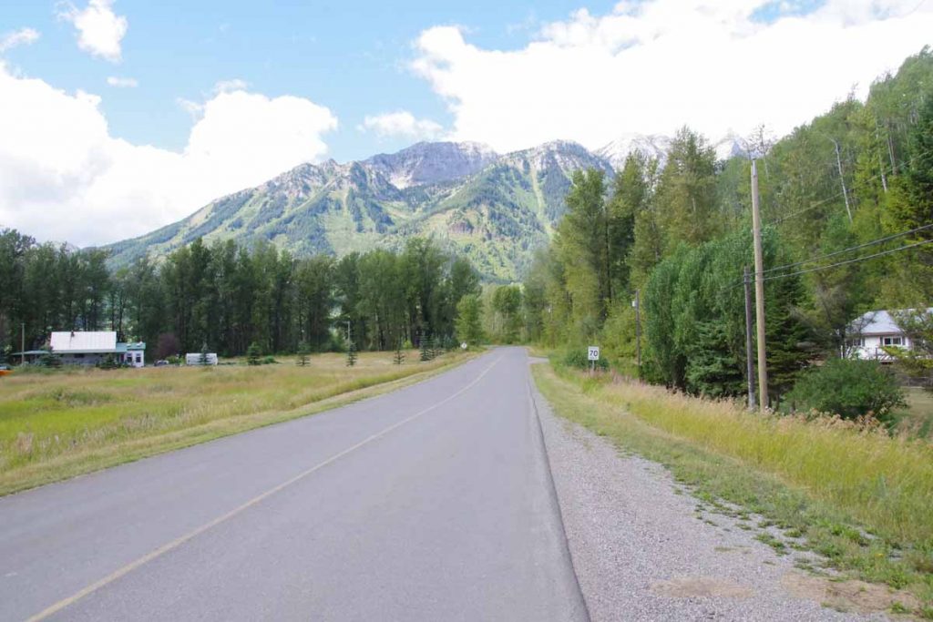
Today was easiest day of the three. Woke up a little later and set off down the Elk River road. The road continued to be rough but gradually became better as got closer to Elkford. There were some shorter climbs, but overall lost more elevation than gained.
IMGP3509
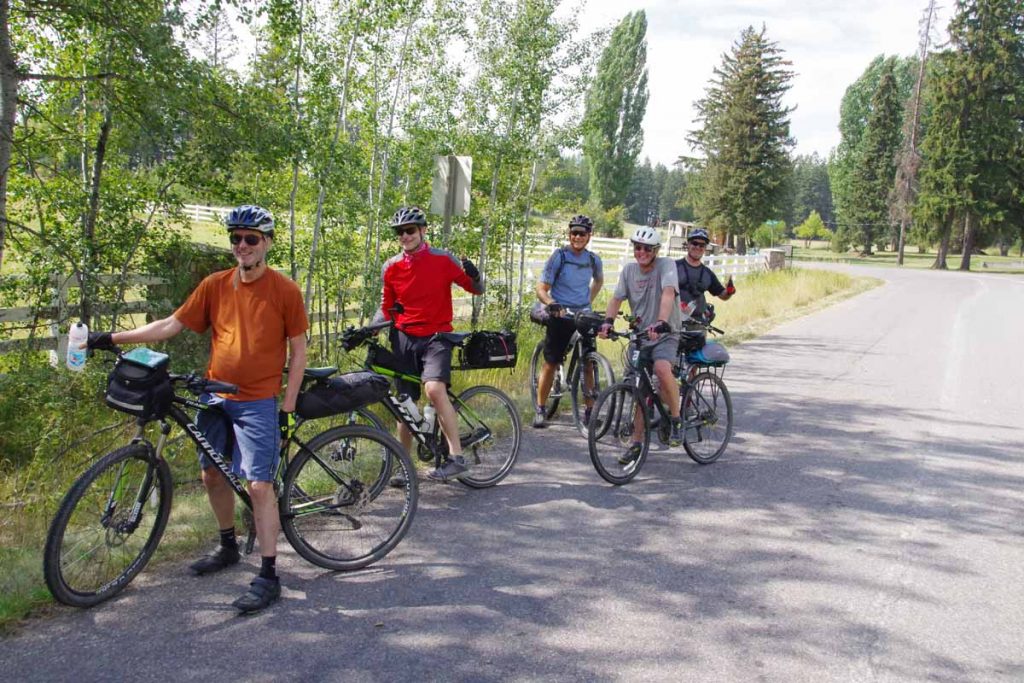
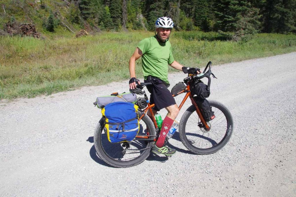
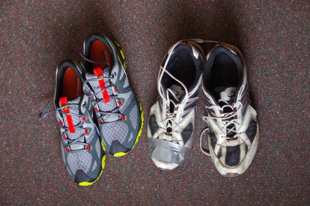
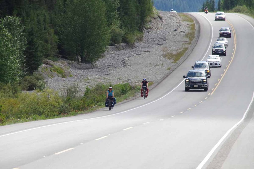
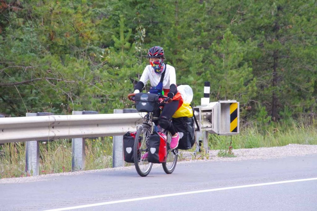
Below is a photo of our Scottish cyclists. They were able to condense their gear into less space than mine.
IMGP3510
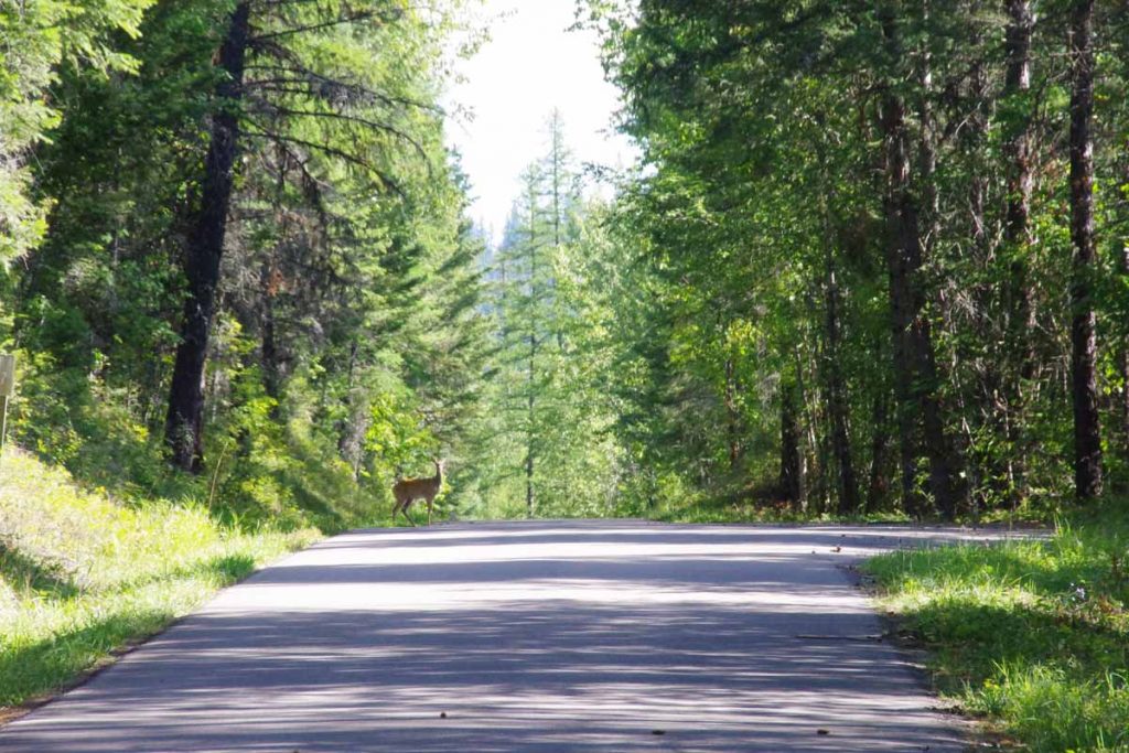
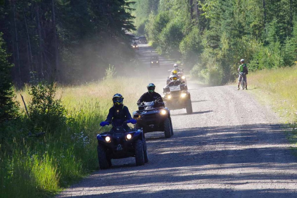
Along the way we had these trail riders coming the other direction.
IMGP3514
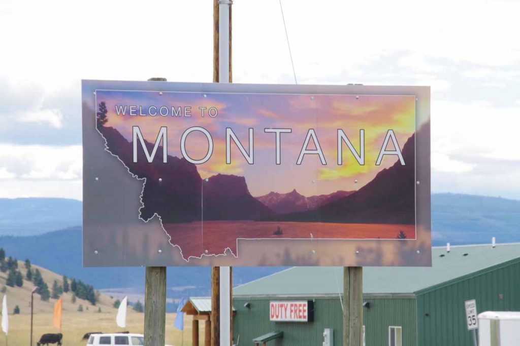
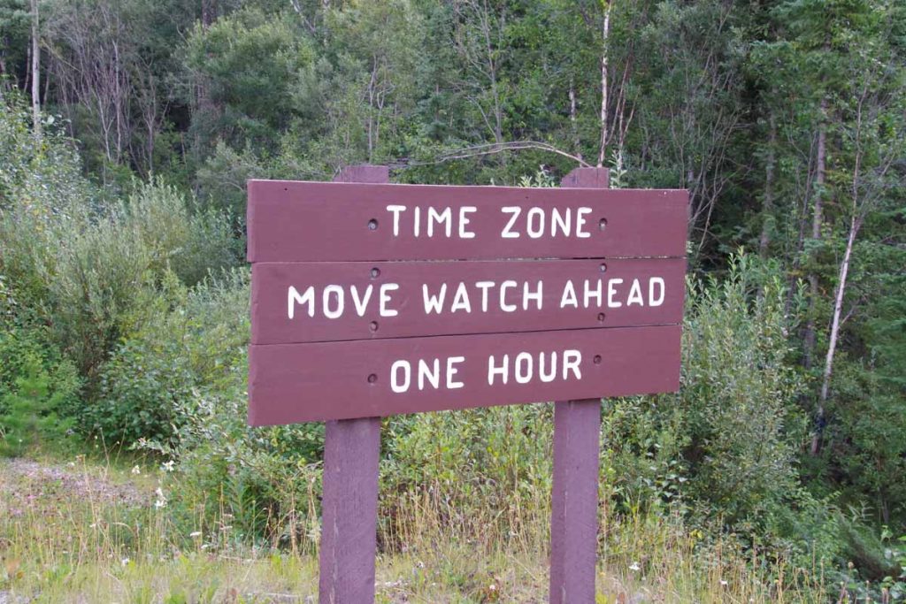
Without too much difficulty was able to make it to Elkford a little past noon. While this is part of British Columbia, I learned that this area still uses the same time zone as Alberta.

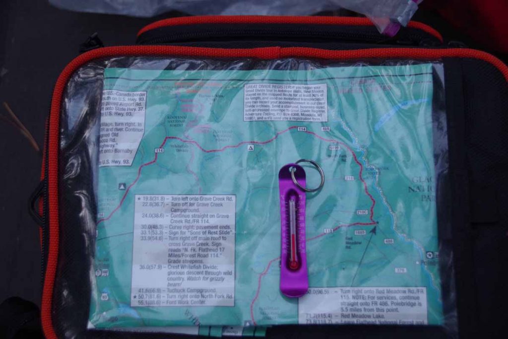
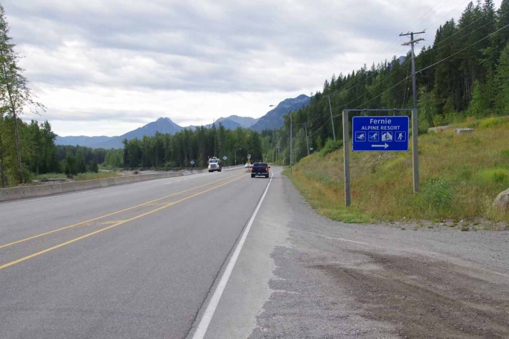
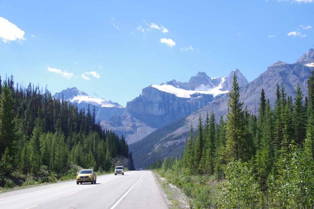
Overall, three days of the GDMBR has given me a first taste of the GDMBR. Except for a section of trail replacing road, followed the official route. However, based on my first taste, do think I’ll try doing a hybrid with some road riding skipping some of the most difficult bits. For example, from here to Eureka MT is what looks like perfectly reasonable paved route – a lot of it is the original “Fernie Alternative” that was route before 2010. I will most likely take this paved route down the valley at least to Eureka.

Also realized that not having the trailer is probably a blessing since that would have made the cycling a bit more challenging including pushing the bike up an 18% grade.

Posted in Alberta, British Columbia, Canada | Tagged bear spray, GDMBR, trail, water filter

Banff, end of phase one

A bicycle ride across the Americas Posted on 2016-08-18 by mev2016-08-18

IMGP3483
3962 kilometers over 60 days. Of these 14 days when no cycling was done so ~86km/day on the riding days. My original plan had been designated as a training ride first down the Dalton and then to Watson Lake on routes I had cycled before. After that the Cassiar, Yellowhead (this portion) and Icefields were new routes.

I had two larger mechanical failures: a torn off derailleur on the Dalton and a broken hub that finally failed near Smithers. I replaced both tires along the way. The failures were a bit more than expected, though I now will take an extra freehub kit when I cross into Latin America.

However, overall it was a great trip! Reasonably relaxed, there are days when I could definitely have ridden a bit longer, but perhaps not day after day. No point in burning out so early on an extended trip. Also really liked having the long hours of daylight. I brought along a flashlight but never used it the entire distance to Banff.

The photo above shows the Banff Springs hotel, starting point for the next phase of the trip. This one on my mountain bike and along the Great Divide route. Today I brought my bike in to Bactrax bike shop. Nothing major but the mechanical disc brakes had a bit of a “squeal” to them and also nice to get everything well adjusted and ready for the trip. The mechanic did look at my Schwalbe Marathon Plus tires and suggest I might want something with a bit more tread. I will see how this goes on the trip and if necessary swap tires in Whitefish or similar place.
IMGP3487
Photo above shows bike pump placed at start of the trail.

A few notes about the Great Divide route as I’ve learned it, as well as potential plans here:

  • The Great Divide Route was mapped by 1997 from Roosville, MT to Antelope Wells, NM. In 2004, a Canadian segment was added from Banff to Roosville. Total distance from Banff to Mexico is 2768 miles.
  • The route evolves slightly each year. One of the larger changes in 2010 was a more remote section in Canada through the Flathead Wilderness. The old pre-2010 route remained as the “Fernie Alternative”. I will likely choose the tamer Fernie Alternative.
  • I have two books with me (one kindle one hardback), that provide an itinerary for the Great Divide. Both split the US portion into 62 riding days. One doesn’t have a Canadian portion and the other splits it into 8 riding days – but this is not the Fernie Alternative.
  • Since 2008 there has been a Tour Divide Race (fun film by the way). The fastest racers have figured out how to ride it in 14 days!
  • Not sure what my pace will be – certainly a lot closer to the 70 day pace than the 14 day, but not sure if I’ll be more or less than that or whether I’ll want to or have to take some rest days along the way. Will figure this out as I go along.
  • While there are a number of motels and spaces to stay on the route, a common pattern might be two or three days of remote cycling – followed by a motel town. If it just happens that wifi doesn’t work in that town or not present, then could occasionally be a week without an update. Initially expect enough surface water to filter, but further south in New Mexico might need to carry more water as can be a day or two gaps without water as well.
  • I’ve read a book or two (on Kindle) and some journals of the route. Some of them have me slightly intimidated on difficulties of the trail for myself and the bike. However, not clear how much this highlights particular areas or not and in most places as necessary, I’ll back off and cycle the paved routes that sometimes go not too far from the GDMBR. Same story if weather turns colder this fall or we’ve got a snowstorm or similar. Part of the experiment.

Overall, looking forward to trying this hybrid approach to GDMBR to also see how my mountain bike rides and how touring on this works. Based on how it goes, will use this to learn how to adjust my trip further when I get to Mexico and Phase three.
IMGP3489
In the evening, had dinner with Wayne and Trish, also alumni of the TDA Africa trip in 2013. Fun catching up. Also likely they will join tomorrow when we set off from Banff.

Posted in Alberta, Canada

Banff, Icefields Parkway

A bicycle ride across the Americas Posted on 2016-08-17 by mev2016-08-18

aIMGP3438
The Icefields Parkway is a popular and scenic route from Jasper to Lake Louise. Commercial trucks not allowed and hence lots of tourists in RVs, cars and buses. Also a fair number of bicycles both supported (i.e. unloaded) and unsupported. I had made reservations for each night and hence knew I had to climb 1000m+ the first day. Overall it was a great three day ride – with many photos to show below.
Day One
IMGP3396
It was 4C (39F) starting out but quickly warmed up during the day. The route initially started along the river and was flat, but at 5km after crossing a glacier stream started to climb.
IMGP3398
Near the top was a beautiful lake, perfect for early morning reflections.
IMGP3401
As I neared the end of 93A, I came on this group of rafters getting their pre-trip briefing. At 15km was junction with Icefields Parkway as well as Athabasca Falls.
IMGP3403
IMGP3406
The falls didn’t drop far (12m, 40ft) but had lots of fury to them.
IMGP3409
After this followed the river slowly uphill with scenery such as photo above. At 40km was Sunwapta Falls and a lodge here and chance to get lunch.
IMGP3412
Most of the time the shoulder was fine, though did occasionally suffer from two problems: (a) as seen above, some strong lateral cracks that would cause a “thump, thump, thump” as I cycled over them. Interestingly the way to avoid this was to cycle in that groove in the middle and (b) when passing zones appeared the road didn’t get wider but instead the shoulders went away.

However, not to complain.

It was a slow steady climb to ~74km where suddenly the grade increased to ~8%. I pedaled some and also walked a little of this hill.
IMGP3419
Near the top was this tourist attraction where tourists could walk out onto the skybridge that jutted some 250m+ over the valley floor below. After this sky bridge a short descent and last little bits going to the Columbia Icefields.
IMGP3421
A good picture of the end of the icefield glacier below.
IMGP3424
What I thought was interesting was almost immediately the river started large from bottom of the icefield. Also here was a large “Icefields Centre” with cafeteria and chance to refuel at end of the day. After this just 8km including 4km to top of the first pass (2035m) and boundary between Jasper and Banff Parks.
IMGP3426
Overall a tough but satisfying day with over 1000m of steady climbing from Wabasso Campground to and over the pass.
Day Two
I stayed overnight at the Hilda Creek Hostel. A nice little place with dorm and kitchen building. The hostel itself was “unattended” meaning they emailed you a lock code and you needed to make sure you kept everything clean. There was another party of three there, friendly folks who also gave me some water (there river was fresh glacier melt and lots of sediment). The dorm was a bit dark, so I actually set up my tent outside.
IMGP3427
In the morning after the sun reached over the ridge, I set off for the day. First 40km would be downhill and then I would climb just as far back uphill over the next ridge.
IMGP3429
Steep descents down into the Saskatchewan River valley and also several degrees colder as sun hadn’t quite reached. Photo above coming to the “weeping wall” where small rivulets came down the steep rock face.
IMGP3433
Many more dramatic mountains to pass, I stopping taking photos of all of them. At 40km was Saskatchewan Crossing, a large commercial place and chance to get early lunch.
IMGP3437
Tour buses were definitely stopping here and the line to restroom would suddenly grow as busloads queued up.

After lunch another 2km to cross the bridge at 1394m and from then another 34km of climbing back up to 2088m. Had a good climb to start and fortunately, not quite as steep as day before.
IMGP3442
I did see some cyclists such as ones below, but you can see it was fairly busy.
IMGP3439
Pretty close to the top was brief area of construction (and exception to the “no trucks”)
IMGP3448
After this the rest of the day was mostly downhill past several deep blue lakes.
IMGP3451
IMGP3455
Here was Crowfoot Glacier.
IMGP3456
End of the day was another hostel, this time Mosquito Creek.
IMGP3459
This hostel had more guests as well as someone attending. Nice location and good place to relax.

Day Three
Woke early in hostel and careful not to wake other campers, made my breakfast in the cook building. Packed my gear and was on the road by 8am. It was still cool in the valley.
IMGP3463
The predominant direction today was downhill with the first 27km going down to Lake Louise Village.
IMGP3464
Just before the village, the Icefields Parkway officially ended and there was a short stretch of Trans-Canada Highway (route one). Apparently, I missed the separate bike path but the (interstate-type) highway was fine. One interesting thing this highway had done was erect huge fences everywhere to keep moose/elk etc off the highway. Instead they were directed onto animal crossings such as the ones above.

I stopped in at the visitor center in Lake Louise and got my Banff National Park information. Also found a chance to upgrade my planned campground to a hotel that wasn’t outrageously expensive. I considered cycling (200m+) up to Lake Louise but decided that could wait. From here the next 60km was along the old route, now named Bow Valley Parkway.
IMGP3465
To help keep the animals from going onto the highway, they had “Texas Gates” as shown in sign above. What is a Texas Gate? Well looks a bit like below.
IMGP3466
Yup, in Texas they would be “cattle guards”.

The Bow Valley Parkway as a quiet route with several information signs and stops along the way.
IMGP3469
This one told us about bears (I only saw one on the second morning of the Icefields ride).
IMGP3471
The route roughly followed the railway and the Bow River.
IMGP3474
This sign and nearby statue was interesting since it talked about internment camps and road crews, but this time during the first world war and likely Ukrainians from the parts of Austro-Hungarian empire.
IMGP3477
In a few places, the road split and each direction was its own road. However, look at the nice wide striped shoulder on this one.

Near end of the Bow Parkway, the road rejoined the Trans-Canada and this time, I did find the bike path that led on to Banff. Nice little parkway that then went past a few lakes.
IMGP3479
To arrive at Banff itself.
IMGP3480
Here I found my way to hotel and then walked around downtown. Tomorrow a rest day here to get a few errands such as laundry done and otherwise prepare for the Great Divide cycling route. Nice to have made it to Banff.

Posted in Alberta, Canada | Tagged bear, descent, icefields

Jasper, on to Alberta

A bicycle ride across the Americas Posted on 2016-08-17 by mev2016-08-17

Big thunderstorm as I awoke. Enough to fill all the divots from the rumble strips, but fortunately dry when I left.
IMGP3367
First day full loaded on the mountain bike. Overall I think my average speed was a little slower than the touring bike, though seems like my endurance was roughly the same. I also had somewhat less things, both the items I left behind and only having two panniers to carry everything.

The first 17km retraced my steps to Robson Visitor Center. Above you can see the “after” picture with my bicycle. In the 10km after the visitor center was a substantial portion of the climb for the day. I put it in low gear and slowly wound my way up the hill.
IMGP3368
A little past the top was Moose Lake and for rest of the day no huge climbs until after Jasper, though some smaller ones to keep everything challenged. Photo above was Moose Lake and then Emerald Ridge in the background.
IMGP3377
The peaks in Robson park were already stunning and could tell I was coming into the Rockies.
IMGP3380
Not far from the border was a rest area with this sign about internment camps for Japanese-Canadians during the second world war. Interesting to see this also happened in Canada, particularly after my visit to Topaz in 2013. Also interesting to see the Canadian government had also put the “Acknowledgement” sign below
IMGP3382
Not much past that I was at top of Yellowhead pass
IMGP3383
This was border with Alberta
aIMGP3388
A new time zone
IMGP3386
As well as boundary of Jasper National Park. Five kilometers past the park boundary was an entrance station where I paid fees so I could stay overnight the next six nights in Jasper and Banff National Parks. The next 20km was to Jasper town and was almost level with not much drop from the pass. I did spot a few cyclists again.
IMGP3391
Without much difficulty I found myself at 104km into Jasper town itself. I found a bike shop and bought two inner tubes and also a restaurant and grocery to refuel for both afternoon and next several days.

However, I wasn’t done for the day as my campground was located 18km south of town. Sounds like good advice below, though not real practical if your “vehicle” is a bicycle.
IMGP3393
I took the main road and slowly headed south. At 10km was a split into the 93A which went on west side of the river where campground was located.
IMGP3394
There was a surprisingly big hill in those last 8km and then a descent back down to the river. Overall 122km and a long day. At the campground entrance they informed me they didn’t have bear lockers and if I had food, I would need to give it to them for safe keeping. I asked if instead I might have a fellow camper in next site lock things up. Fortunately, they agreed and fortunately friendly folks across the way kept my food bag for the night.

Posted in Alberta, British Columbia, Canada | Tagged Jasper, National Park, new bike, pass, tubes

Tete Jaune, Yellowhead rest day

A bicycle ride across the Americas Posted on 2016-08-13 by mev2016-08-13

aIMGP3361
No room at the inn. All campgrounds and motels in Jasper are full today. Hence, made a reservation for tomorrow and took today as a rest day in Tete Jaune. Bert left today so the bike switch was also finished today. However, before leaving we had a ride together and a car shuttle: Bert drove to Robson Visitor Center and cycled back, we both cycled to Robson Visitor Center and then I cycled back. Photos below in that segment, I’ll also cycle it tomorrow but nice to see it at more leisurely and tourist pace.
IMGP3363
One kilometer from here is road junction with highway five (also named a Yellowhead highway). After that point the road became noticeably busier. A few kilometers past that was Rearguard Falls.
IMGP3362
Salmon swim all the way from Vancouver up the Fraser River, but this point marks the furthest almost all of them reach.
IMGP3358
A few kilometers past that is a rest area for Terry Fox. Also the nearby mountain shown above is Mount Terry Fox. The more complete story is described below.
IMGP3360
A few kilometers after that was entrance to Mount Robson Provincial Park. The big mountain in background is Mount Robson, highest mountain in the Canadian Rockies (3954m or 12,972ft).
IMGP3357
The summit was obscured by clouds but still looks impressive, particularly given that the road elevation is ~900m so ~3000m (10,000ft) above the road.
IMGP3354
At 17km was Mount Robson Visitor Center. Nice views of what we could see of the mountain. Also a visitor center and cafe. Surprisingly busy with tour buses. I have a suspicion the large crowds will likely be with me all the way to Banff. Fortunately, road shoulders so far were still reasonable.

I did ask more about the “Tete Jaune” vs. “Yellowhead”. The name came from an Iroquois guide Pierre Bostonais who had blonde hair and guided people across the low pass. However, folks at the visitor center couldn’t explain why Tete Jaune Cache town was named in French and the Yellowhead Highway was named in English.

I have campground and hostel reservations next five nights and then hope to start the Great Divide. Not sure how much wifi I will see before then.

Posted in British Columbia, Canada

Post navigation

← Older posts
Newer posts →
km from Cartagena to Ushuaia

12,183/12,183

km from Prudhoe Bay to Panama City

14,884/14,884

Recent Comments

  • David H on SCC to USH, reflections from the trip
  • Chuck on Ushuaia!
  • Biking Brian on Ushuaia!
  • Tom Vermeulen on Ushuaia!
  • Ed Hildenbrand on Ushuaia!

Recent Posts

  • Epilogue: Created a kindle book
  • SCC to USH, reflections from the trip
  • Ushuaia, tourist time
  • Ushuaia, cycling across Tierra del Fuego
  • Ushuaia!

Archives

Categories

  • Argentina (46)
  • Bolivia (8)
  • Canada (28)
    • Alberta (4)
    • British Columbia (19)
    • Yukon (8)
  • Chile (16)
  • Colombia (22)
  • Costa Rica (9)
  • Ecuador (19)
  • Equipment (2)
  • Guatemala (10)
  • Honduras (10)
  • Mexico (51)
    • Baja (16)
    • Chiapas (7)
    • Estado de Mexico (3)
    • Jalisco (4)
    • Michoacan (3)
    • Morelos (2)
    • Narayit (6)
    • Oaxaca (13)
    • Puebla (3)
    • Sinaloa (2)
  • Nicaragua (5)
  • Panama (10)
  • Peru (38)
  • Planning (16)
  • USA (63)
    • Alaska (10)
    • Arizona (9)
    • California (9)
    • Colorado (9)
    • Montana (10)
    • New Mexico (9)
    • Oregon (2)
    • Texas (2)
    • Wyoming (7)

Meta

  • Log in
  • Entries feed
  • Comments feed
  • WordPress.org

Random Quote

©2025 - A bicycle ride across the Americas - Weaver Xtreme Theme
↑